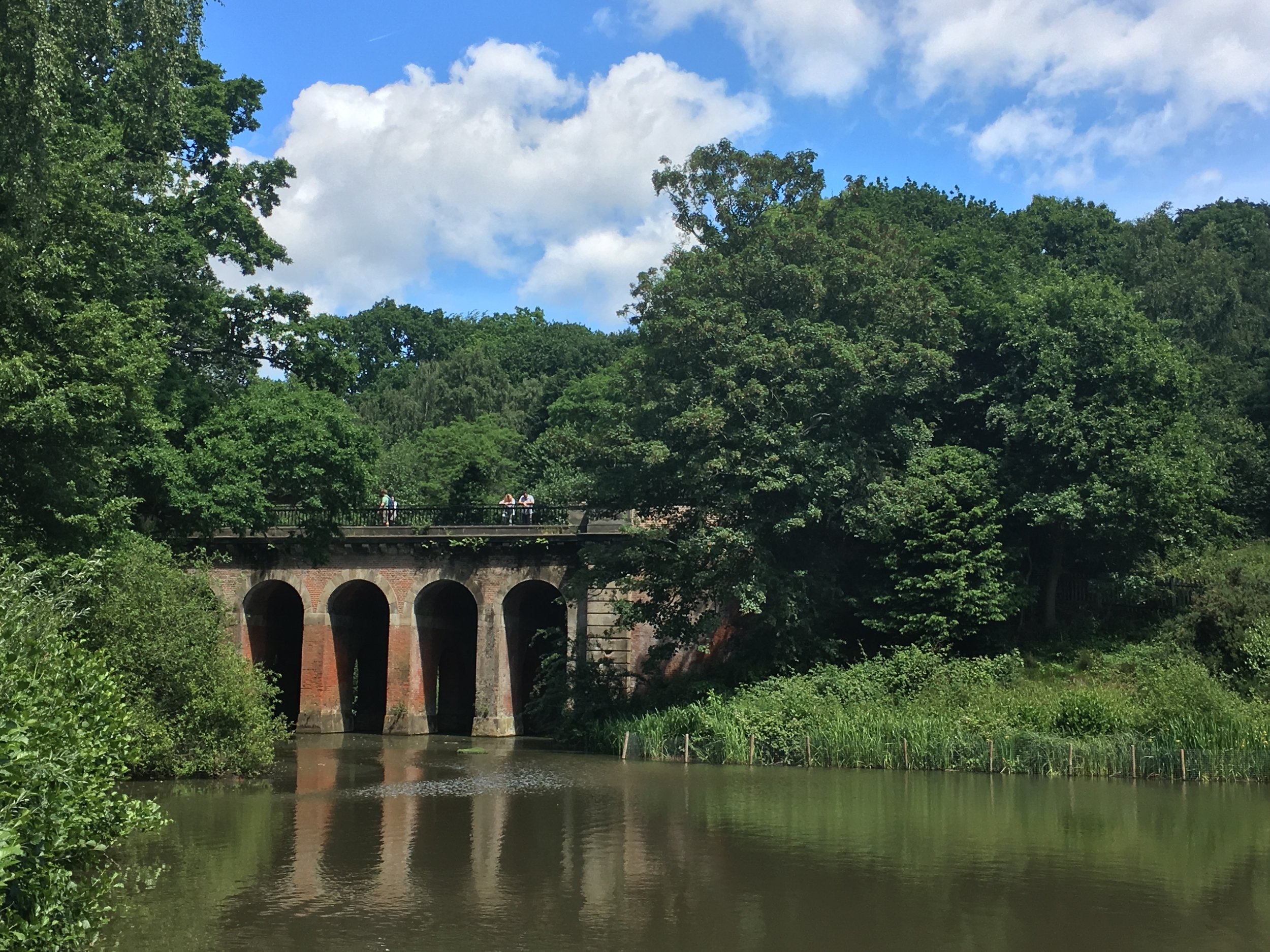
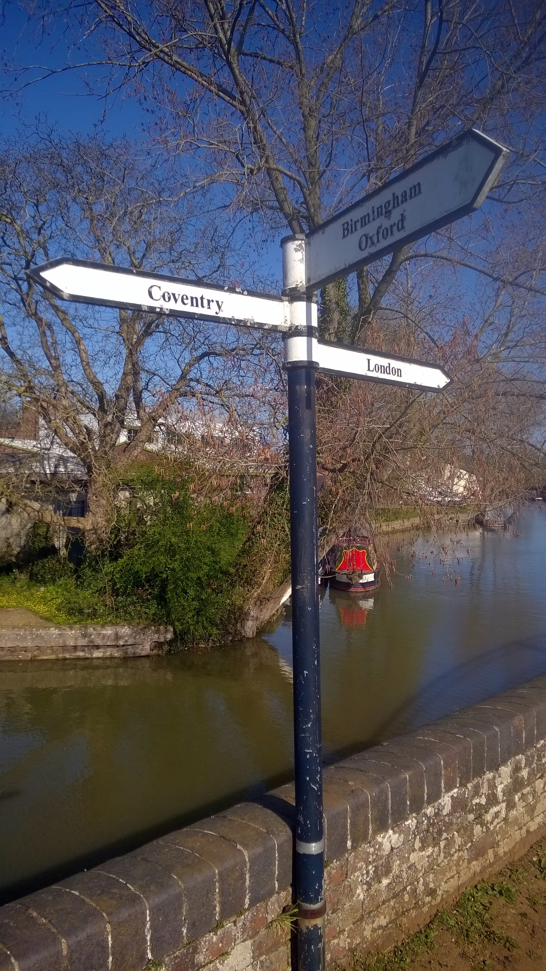
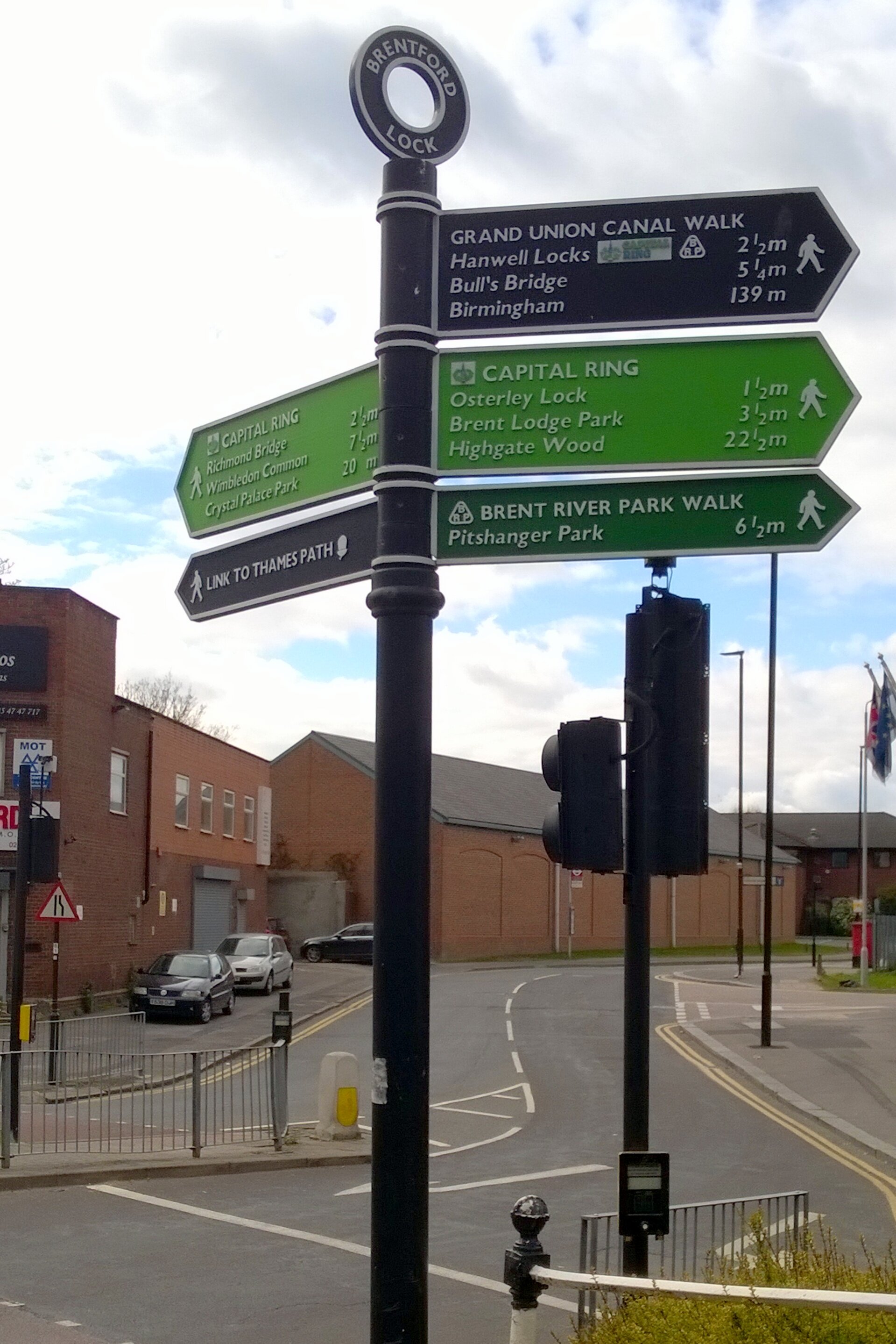
Braunston Junction
Starting an 85 miles off-road cycle ride with an epic hangover probably wasn’t a great idea. The 2-day, 150 mile, Grand Union Canal cycle trip was tough enough anyway.
The trip was the main training weekend for the Lands End to John O’Groats trip in July. The plan was to travel up to Birmingham on the Friday night, start cycling on the Saturday morning, and arrive at the end-point in London with an over-night stay in Milton Keynes. That was the plan anyway. Six of us started, one of us finished.
Day 1: Birmingham to Milton Keynes
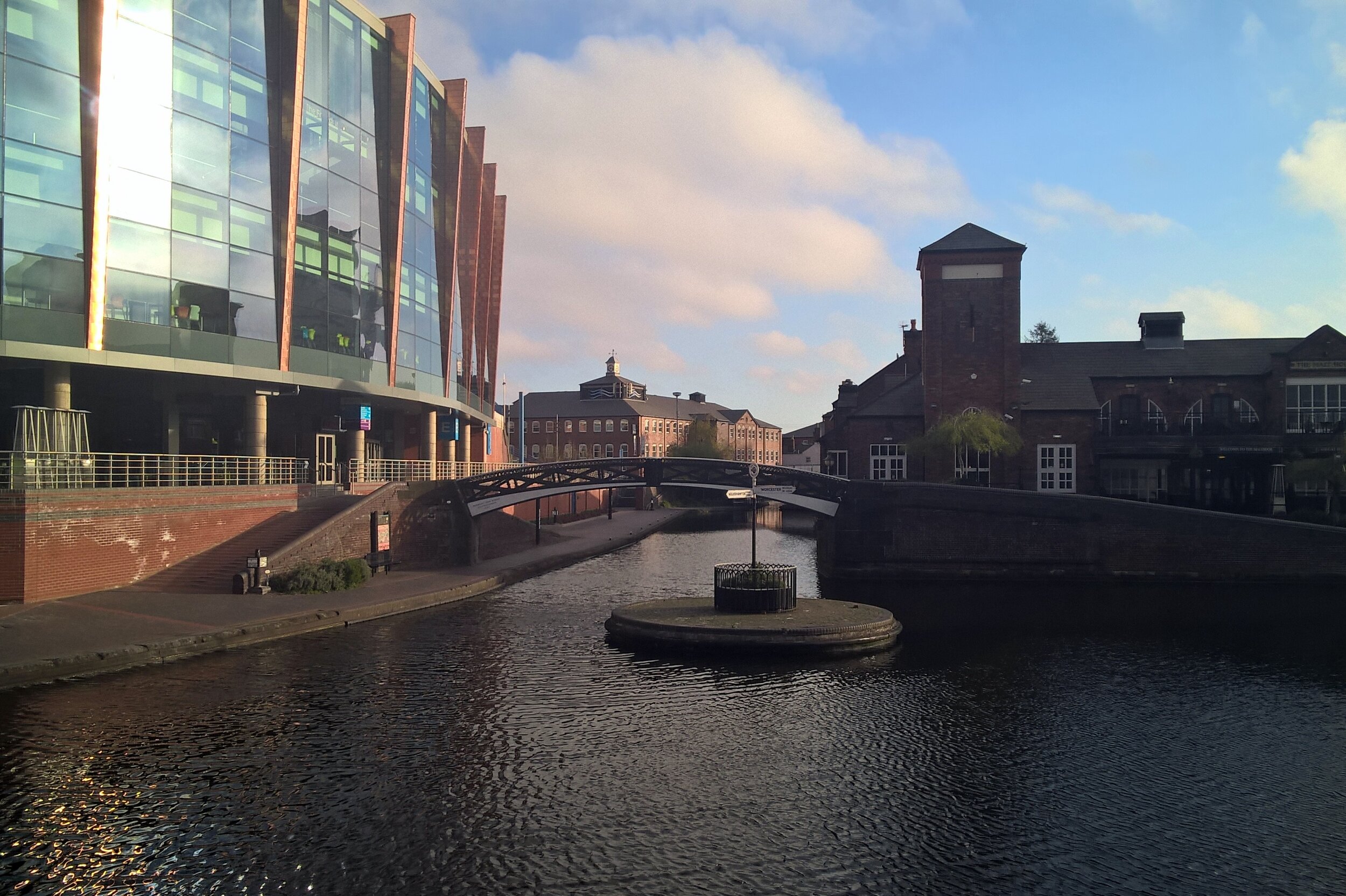
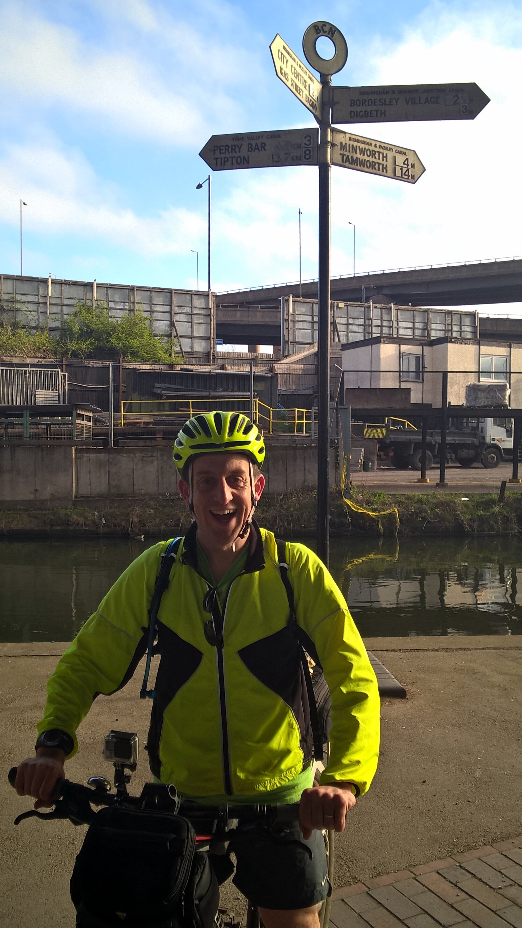
Start: Old Turn Junction, Birmingham, B1 2HL
Finish: Campbell Park, 1300 Silbury Blvd, Milton Keynes, MK9 4AD
Distance: 128 km ( 80 miles)
Elevation Change: + 696m / - 766m. Net -70m
GPX File: get via Buy Me a Coffee
Other Routes Touched (Walk): Grand Union Canal Walk, Millstream Way, Millennium Way, Heart of England Way, Shakespeare’s Avon Way, Centenary Way, Oxford Canal Walk, Jurassic Way, Nene Way, Macmillan Way, Midshires Way, Ouse Valley Way, Swans Way
Other Routes Touched (Cycle): NCN 41, 50, 5, 51, 535, 6 / Hanslope Circular Ride
Maps:
- OS Explorer Map (220) Birmingham, Walsall, Solihull and Redditch
- OS Explorer Map (221) Coventry and Warwick, Royal Leamington Spa and Kenilworth
- OS Explorer Map (222) Rugby and Daventry, Southam and Lutterworth
- OS Explorer Map (223) Northampton and Market Harborough
- OS Explorer Map (207) Newport Pagnell and Northampton South
- OS Explorer Map (192) Buckingham and Milton Keynes
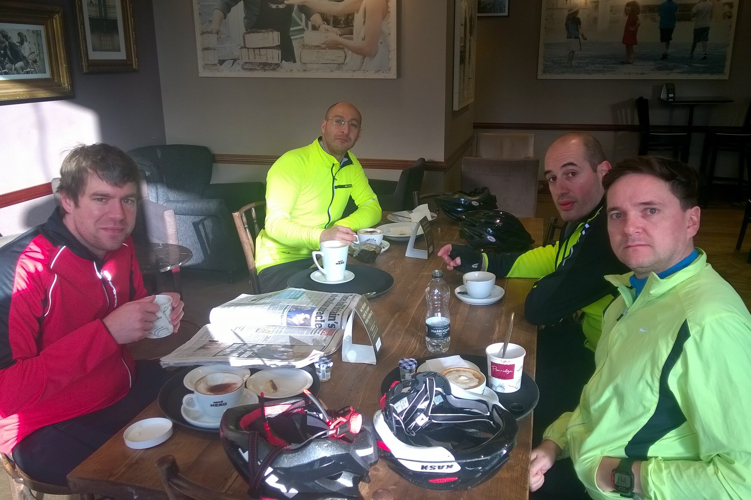
The Friday night in Birmingham was the first time the “Lands-End 6” had got together. I got a bit over excited by the event and had a bit too much wine, hence the hangover the next day. This was very much a learning weekend for the group and I had learnt my main lesson very early on.
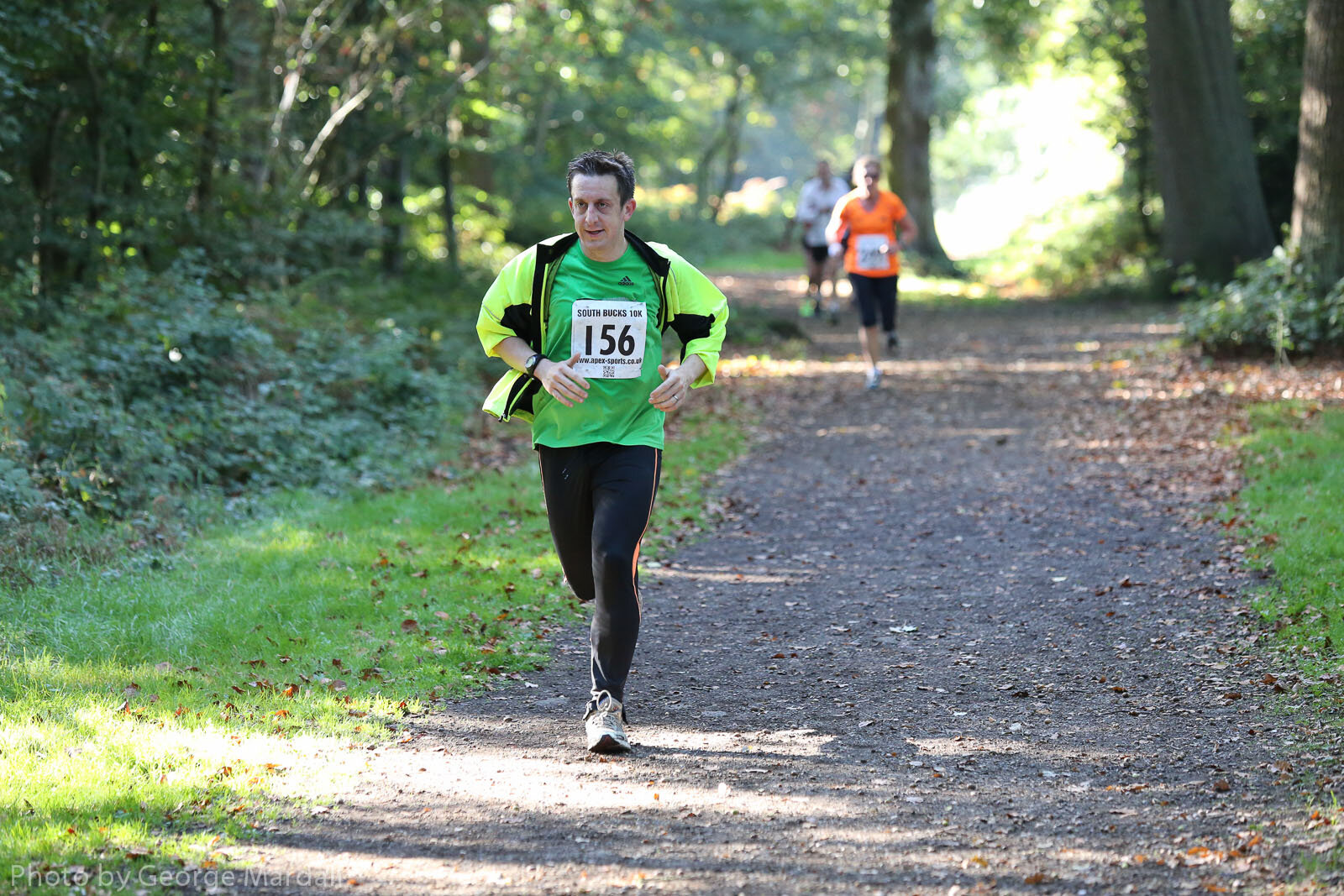
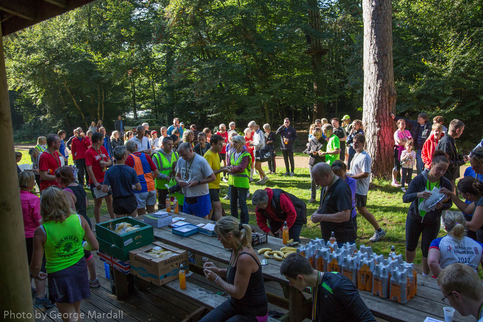
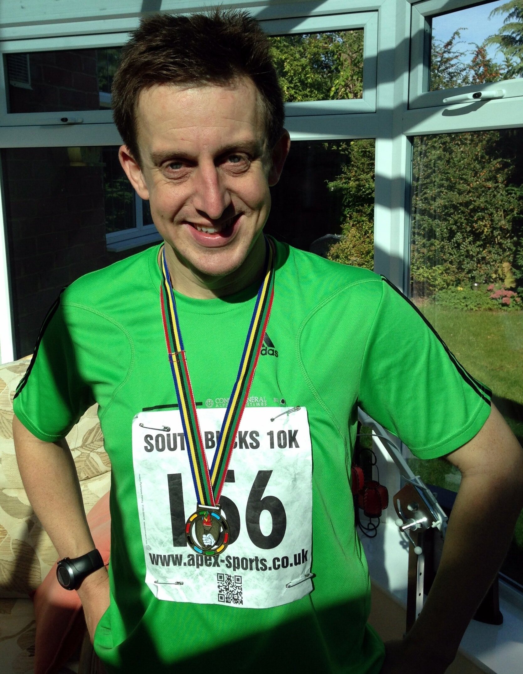
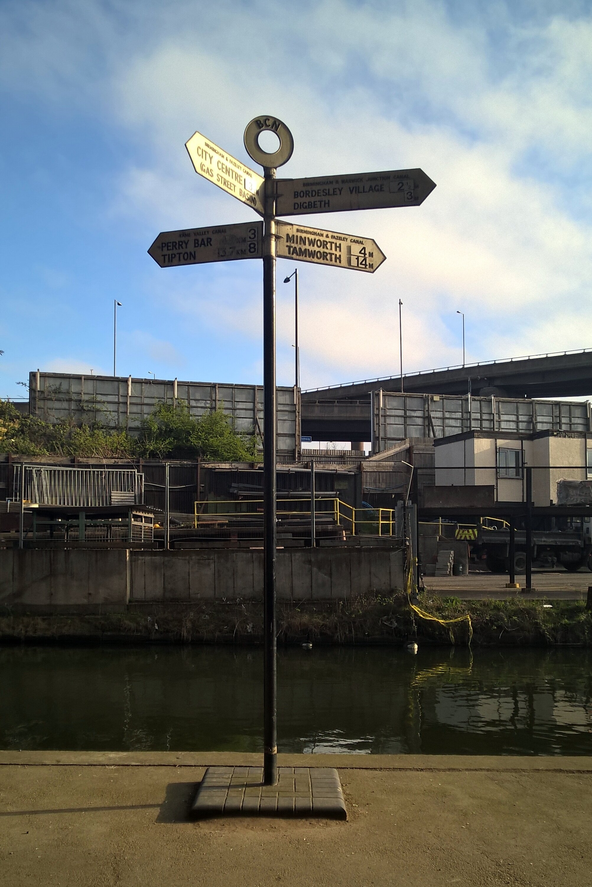
On Saturday morning we headed off in 2 groups. Neil and I started first, getting to the official start at Salford Junction early so we could take a detour to Edgbaston for Parkrun. The other 4 were just behind, not feeling the need to do a 5k run on top of the 85 miles that day.
The run was fine, a nice park with a friendly crowd, and would have been perfect if my head wasn’t about to explode half-way. By 10:00 we were back on the canal, heading towards the others who were at least an hour further on.
After a promising start, we soon hit a diversion where the towpath was closed for maintenance. A quick look at the guide-book reassured us that we could do a small detour by road then get back on the canal at the next bridge. Somehow we ended up cycling aimlessly around grotty industrial estates before 2 kind ladies took pity on us and helped us get back on track.
Given their head-start we didn’t expect to see the other group until very late in the day or until the end. We actually caught them up just after lunch about 40 miles in, mending what turned out to be Martyn’s second of seven punctures. We had hit a grassy 15 mile section where the hedge had recently been trimmed. The thorns which were previously part of the hedge were now covering the towpath and were finding their way into everyone’s tyres.
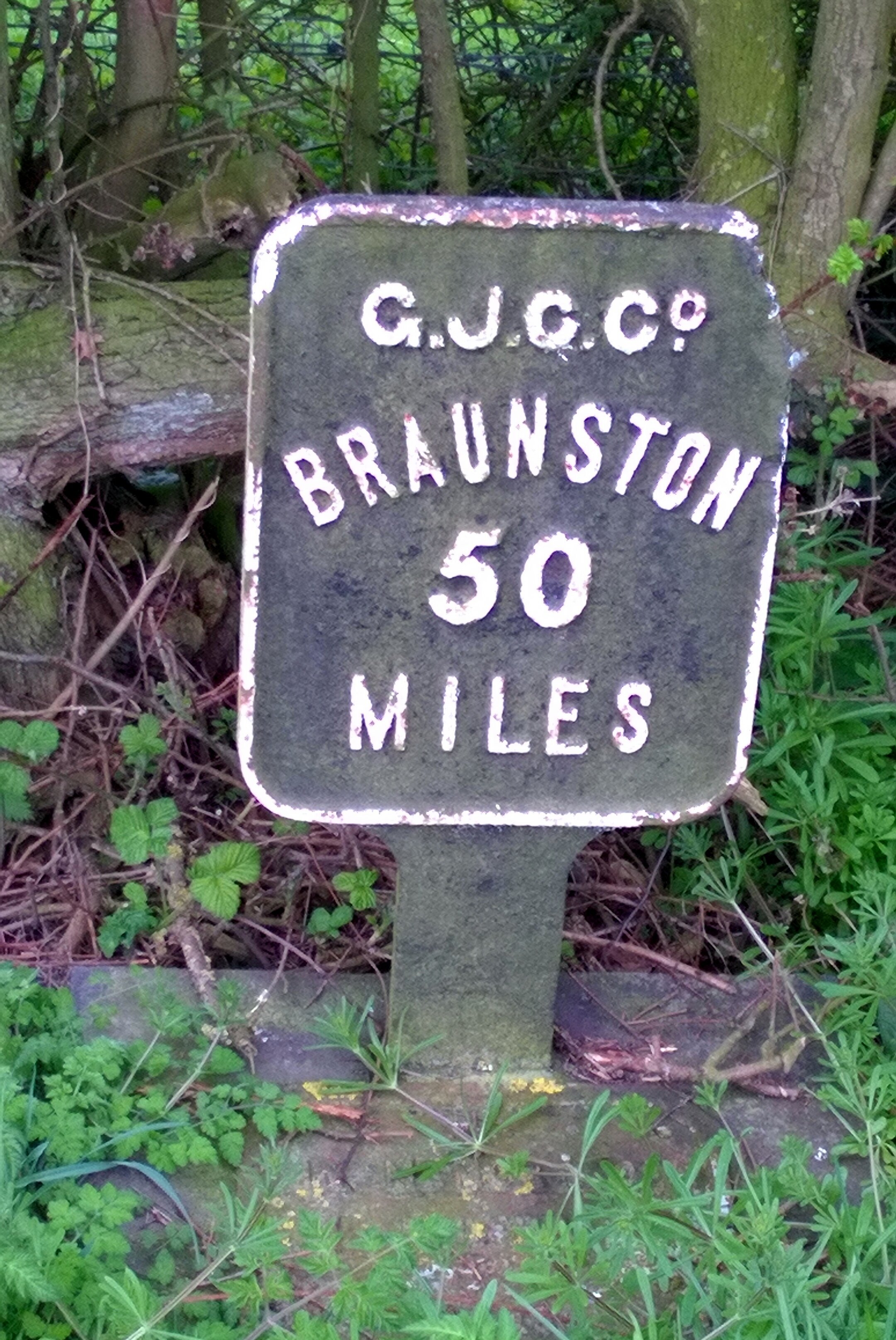
The next 3 hours were an inner-tube bloodbath with another 14 punctures across the group. Every time one was fixed we would set off again and someone else would get a flat. It wasn’t long before Brian had the great suggestion of splitting into 2 groups of 3. That way 1 group could make some progress whilst the other fixed punctures. I went ahead with Neil and Reggie and made it 3 miles short of Braunston Junction before Neil’s last inner tube blew. He was in no mood to repair it so walked the bike the final few miles to meet us at the pub at the end.
By now it was clear that we needed a Plan B. The other group was still 8 miles back and not making much progress. They had already decided to come off the canal and take the roads to Milton Keynes. We were further ahead, but had no spare inner tubes for Neil’s bike. His wheels were a different size to Reggie’s and mine so his only option was to get a taxi to Halfords in the next town and stock up on tubes.
By 18:30 we were back in action with 30 miles via roads to the hotel in Milton Keynes. With only 1 more puncture on the way we made it to the hotel by 21:30. The other group had made it there shortly before and had already made it to the bar ready for beers and a post-ride debrief.

Day 1 Elevation
Day 2: Milton Keynes to Brentford
Start: Campbell Park, 1300 Silbury Blvd, Milton Keynes, MK9 4AD
Finish: The Brewery Tap, 47 Catherine Wheel Rd, Brentford, TW8 8BD
Distance: 95.4 km (59 miles)
Elevation Change: +392m / -460 m. Net -68m
GPX File: get via Buy Me a Coffee
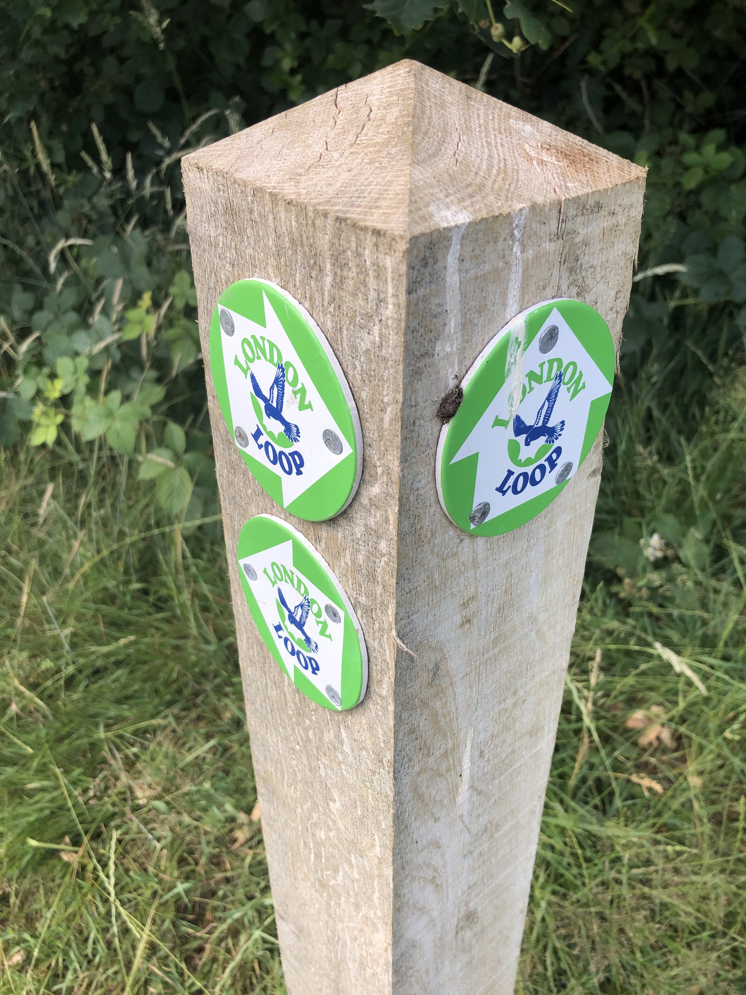
Other Routes Touched (Walk): Greensand Ridge Walk, Two Ridges Link, The Ridgeway, Chiltern Way, Hertfordshire Way, Colne Valley Trail, Hillingdon Trail, London Loop, Beeches Way, Shakespeare’s Way, Capital Ring, Thames Path
Other Routes Touched (Cycle): NCN 6, 61 / Tring Route 5, Berkhamsted Route 6, Chilterns Cycleway
Maps:
- OS Explorer Map (192) Buckingham and Milton Keynes
- OS Explorer Map (181) Chiltern Hills North
- OS Explorer Map (182) St. Albans and Hatfield
- OS Explorer Map (172) Chiltern Hills East
- OS Explorer Map (160) Windsor, Weybridge & Bracknell
- OS Explorer Map (161) London South, Westminster, Greenwich, Croydon, Esher & Twickenham
- OS Explorer Map (173) London North, The City, West End, Enfield, Ealing, Harrow & Watford
It because clear very quickly that I was going to be on my own for Day 2. The others had got through all of their inner-tubes and continuing along the towpath would have been too risky. It was also a Sunday so waiting for the Bike shops to open would have meant too late a start. No-one seemed too bothered though as the prospect of a leisurely breakfast and an on-road cycle to the nearest train station was more appealing than another day in the saddle.
That night I slept so deeply that I had no idea where I was or what day it was when I work up. For 5 minutes I was convinced that I was on a business trip and it was a work day. Fortunately that turned out not to be the case, but I did have 60 miles of cycling before Brentford.
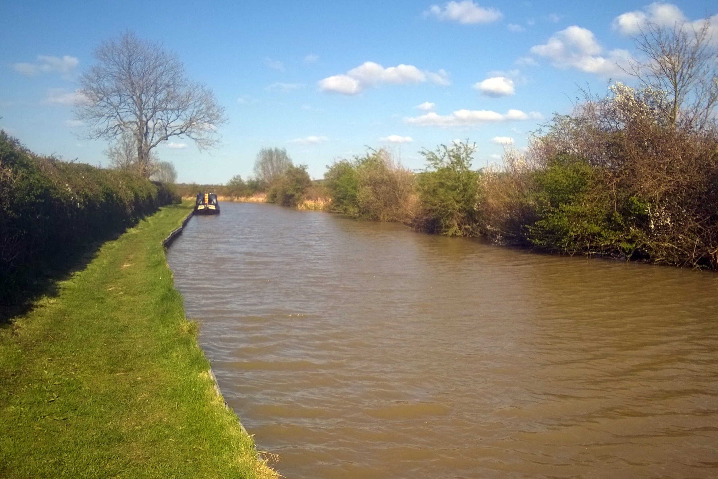
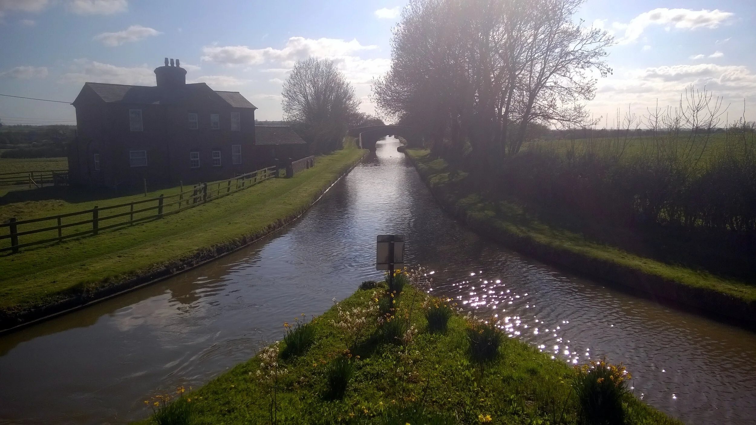
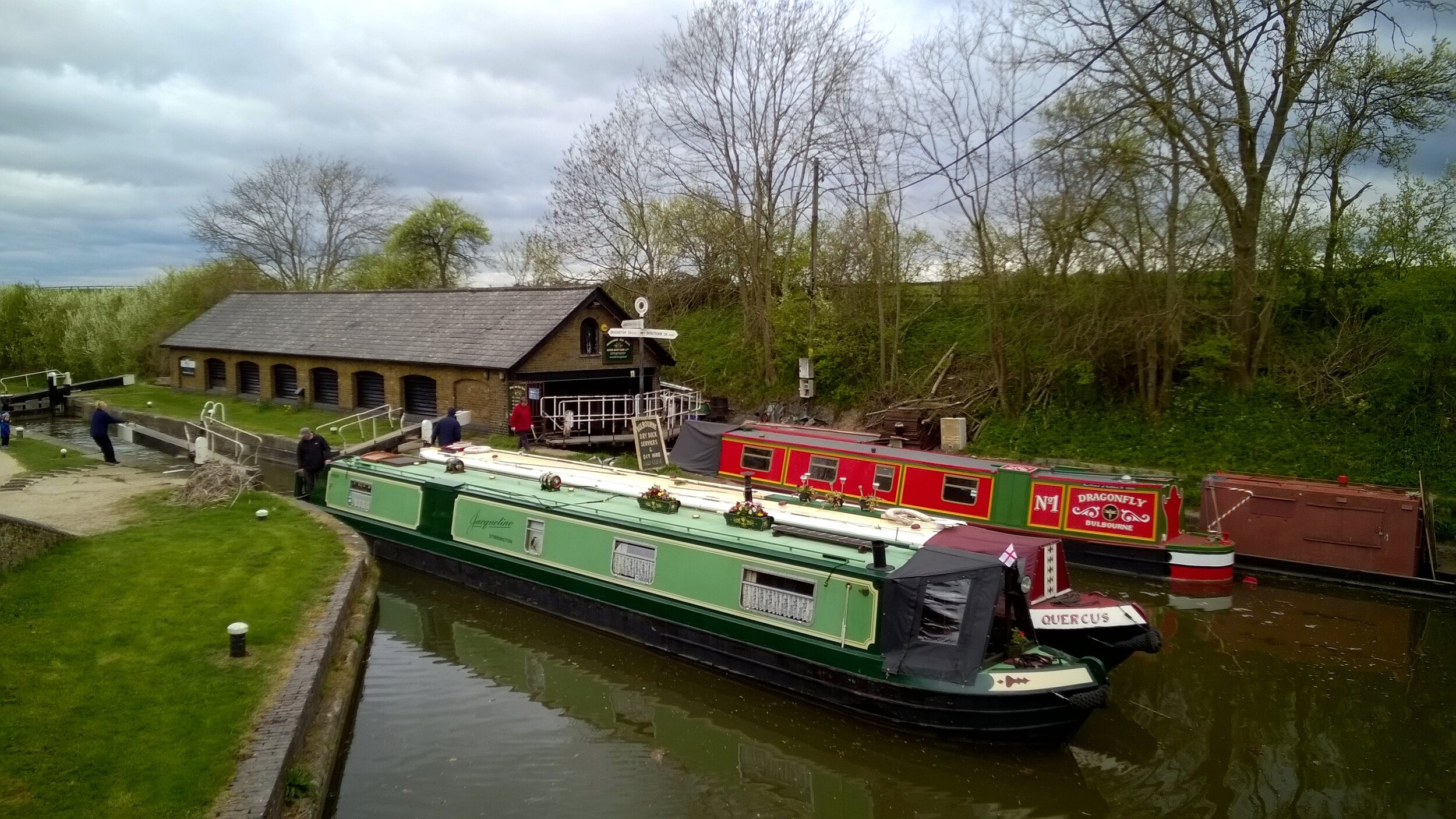
The towpath from Milton Keynes turned out to be significantly better than our Day 1 experience. Apart from a couple of grassy miles near Leighton Buzzard, it was a solid and thorn-free route all the way. I made good progress, reaching Berkhamsted by noon where Rob, a colleague who lives there, joined my for the final 35 miles.
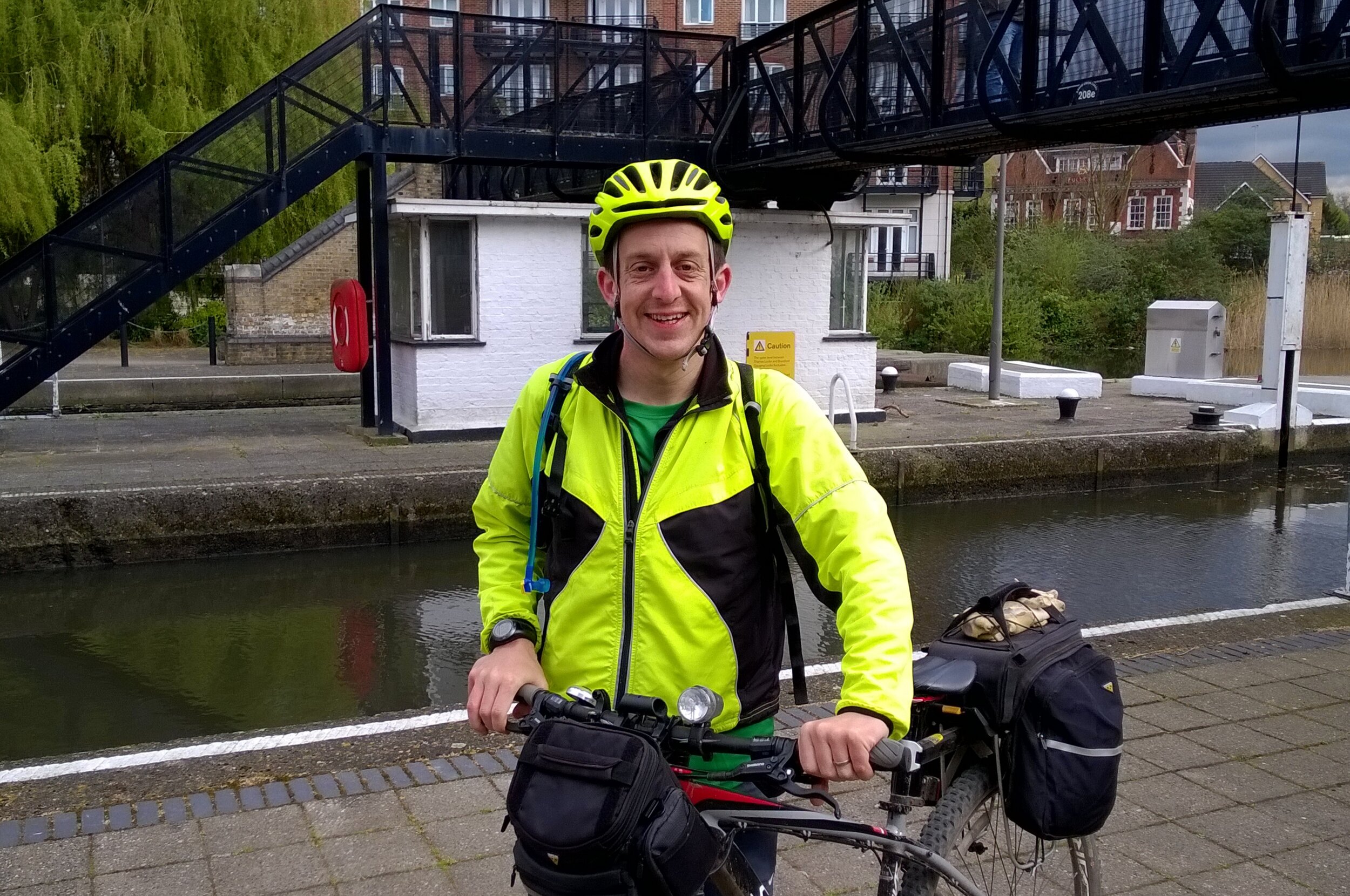
This last section was on home ground for me and I’d cycled or ran many parts of it before. We reached the end of the canal at Brentford Lock just after 16:00. As with the start of the canal at Salford Junction, the end was quite underwhelming. Despite these being the start and end point of one of Britain’s engineering masterpieces, there was barely anything to celebrate the achievement.
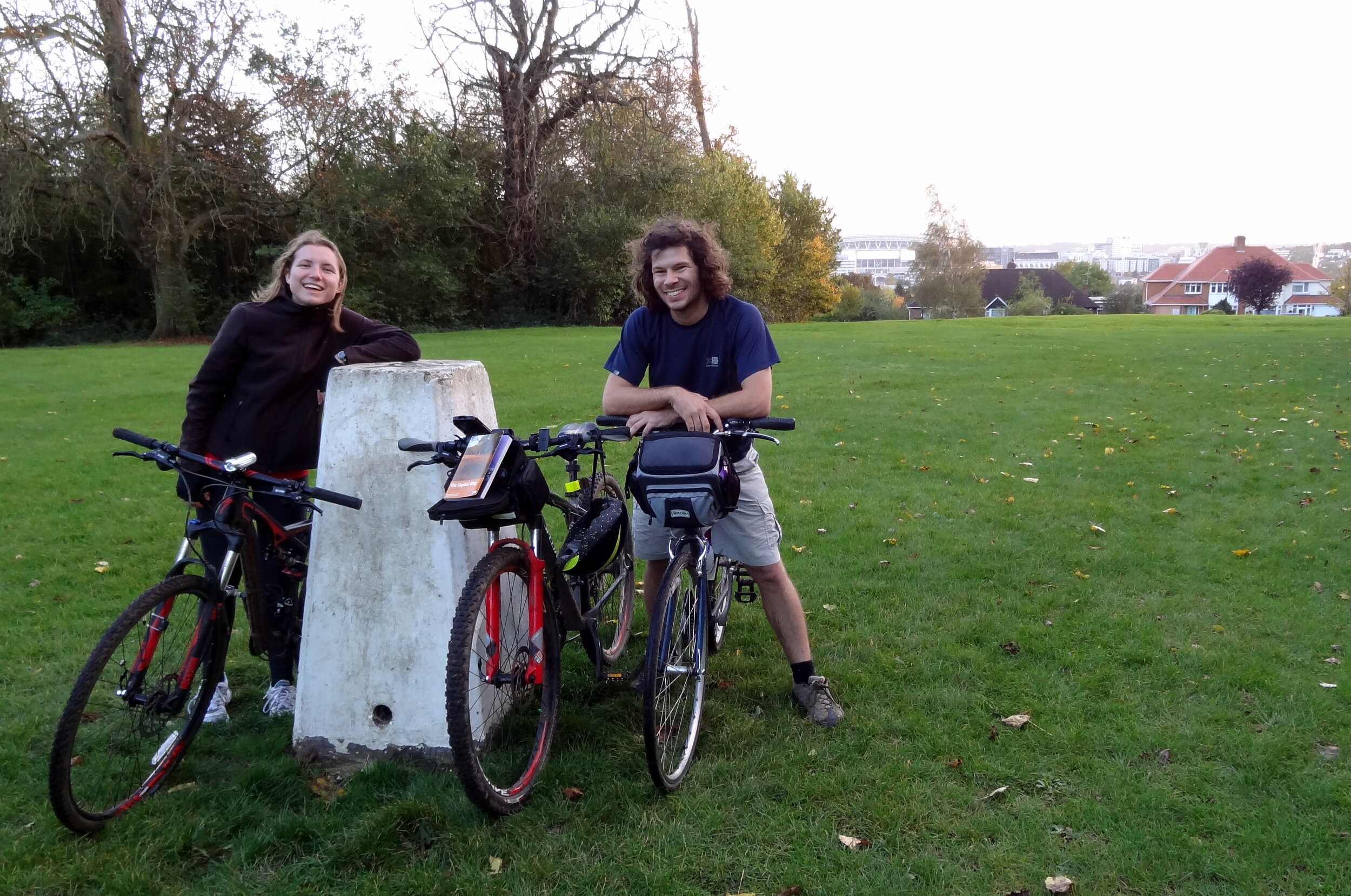
As a learning experience the weekend did its job. The group had its first long distance cycle trip together and got good experience in puncture repairs, what not to pack and in adapting when things go off plan. I didn’t get the puncture repair experience, but I did learn not to ride 85 miles on a massive hangover.


Day 2 Elevation
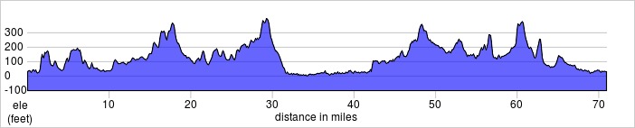
The Complete Route
The full 2-day route (excluding diversions)
The Movie
Tips for Cycling The Grand Union Canal
The Route
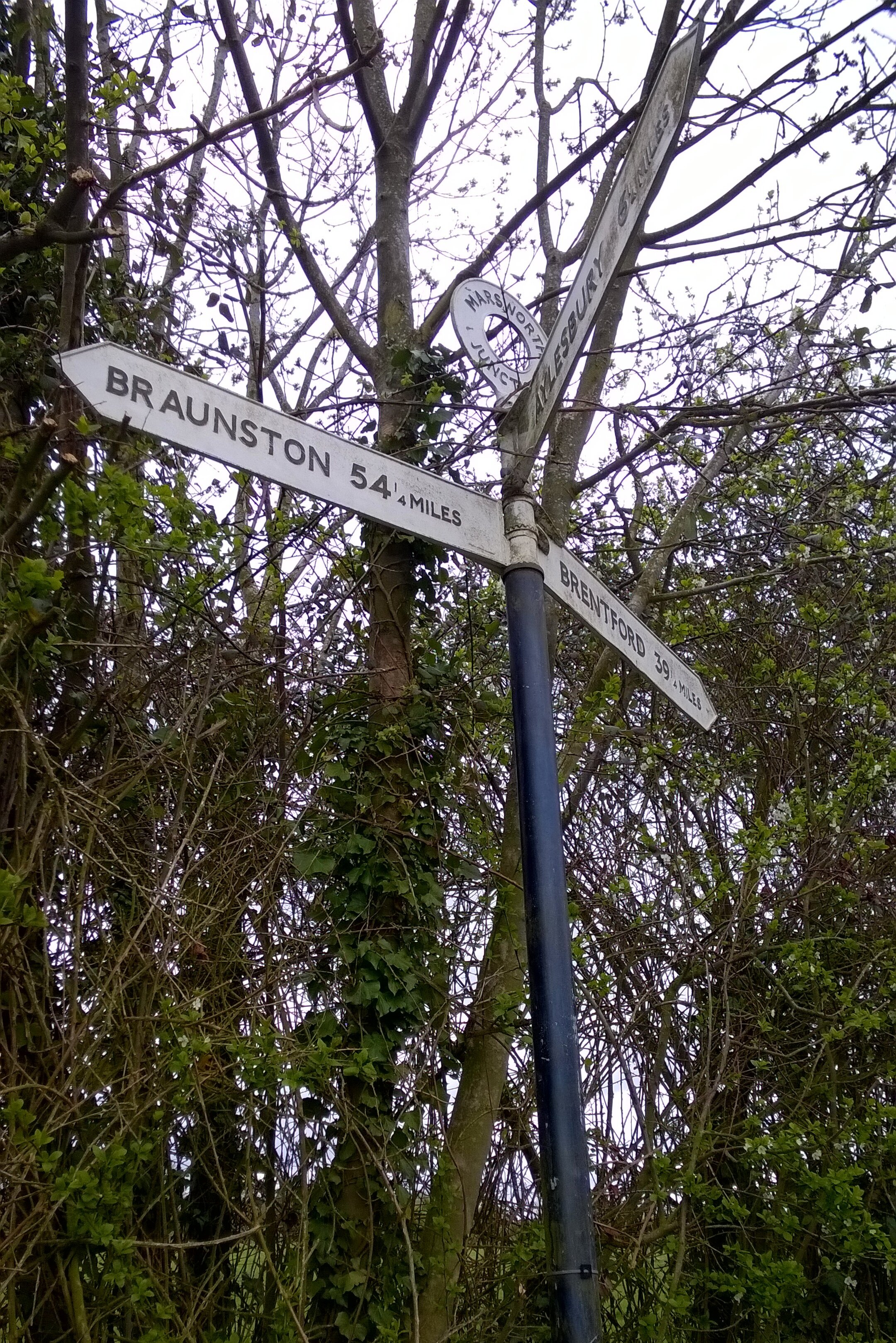
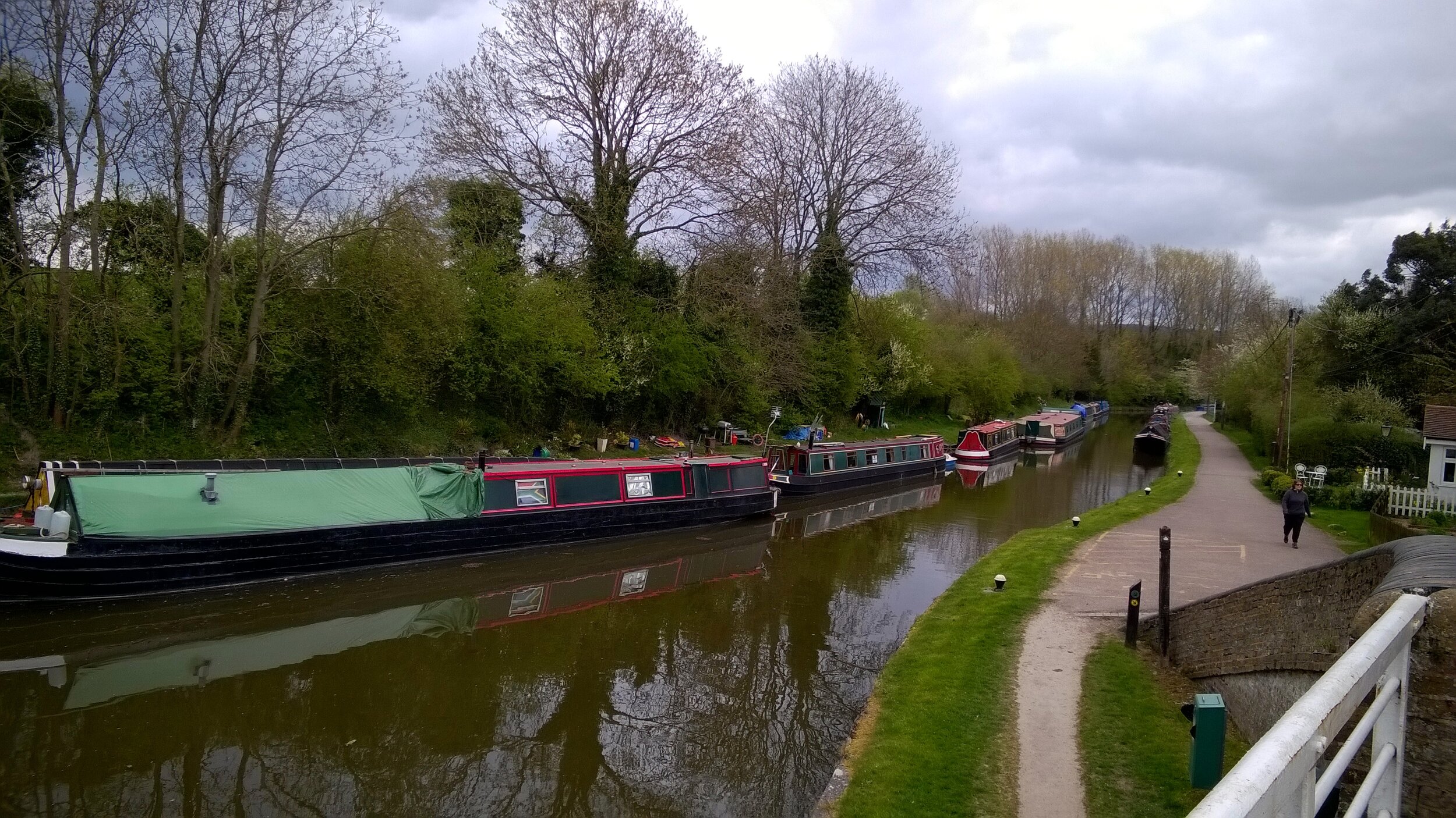
End-to-end the canal is ~150 miles and makes a challenging 2 day or a more leisurely 3 day trip. For either option I recommend Birmingham to Braunston (approx 50 miles) as the target for Day 1. This is the toughest section with the highest chance of punctures so planning to go any further is risky. Braunston is a major junction on the canal and all milestones from London point to it so it makes a good target for a single day. On a 2-day trip Braunston to Brenford is very long but significantly easier than Day 1 due to better paths. For a 3 day trip, Leighton Buzzard is a good Half-way point between Braunston and Brentford.
The Bikes
A mountain bike is essential for this trip due to the "rural" surface for much of the first section. If you can avoid the few weeks after hedge-cutting it will cut down on punctures, but you should expect to get some. Make sure you have good tyres with a healthy tread and ideally use a puncture-proof set. I used Slime inner-tube which self-seal around most punctures. I'm sure that this was a major reason why I was the only one one the group not to get a puncture on the whole trip. Take at least 2 spare inner tubes plus tyre levers etc.
Food and Drink
There's large stretches of the canal without pubs or shops. Although you'll get to a pub eventually its essential to carry enough water and snacks to keep you going.