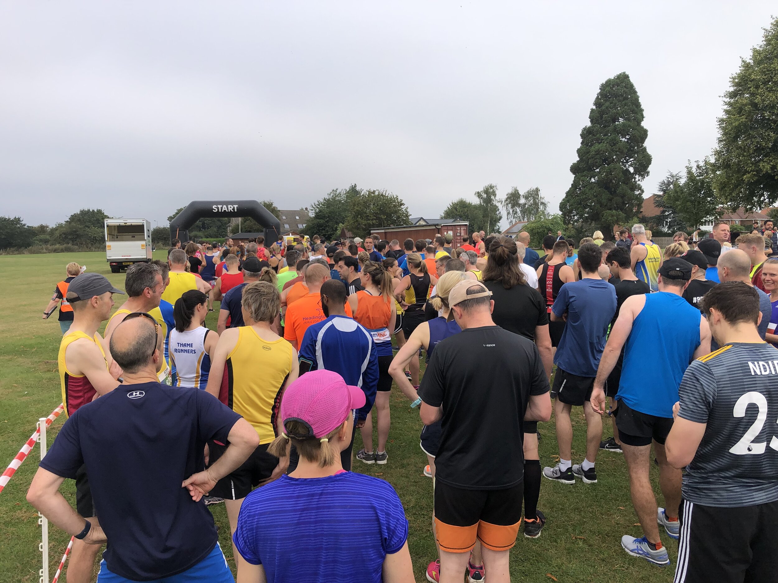
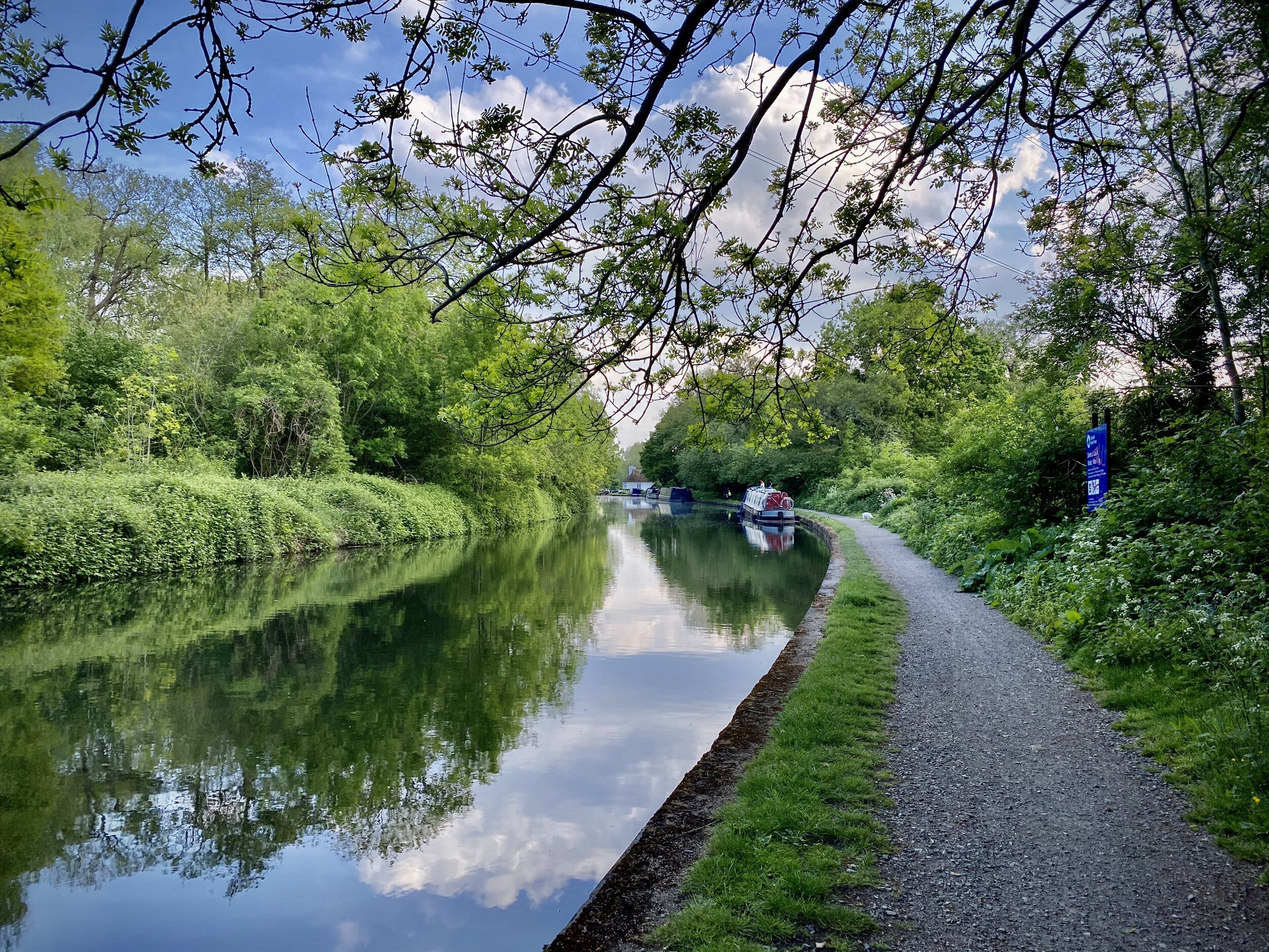
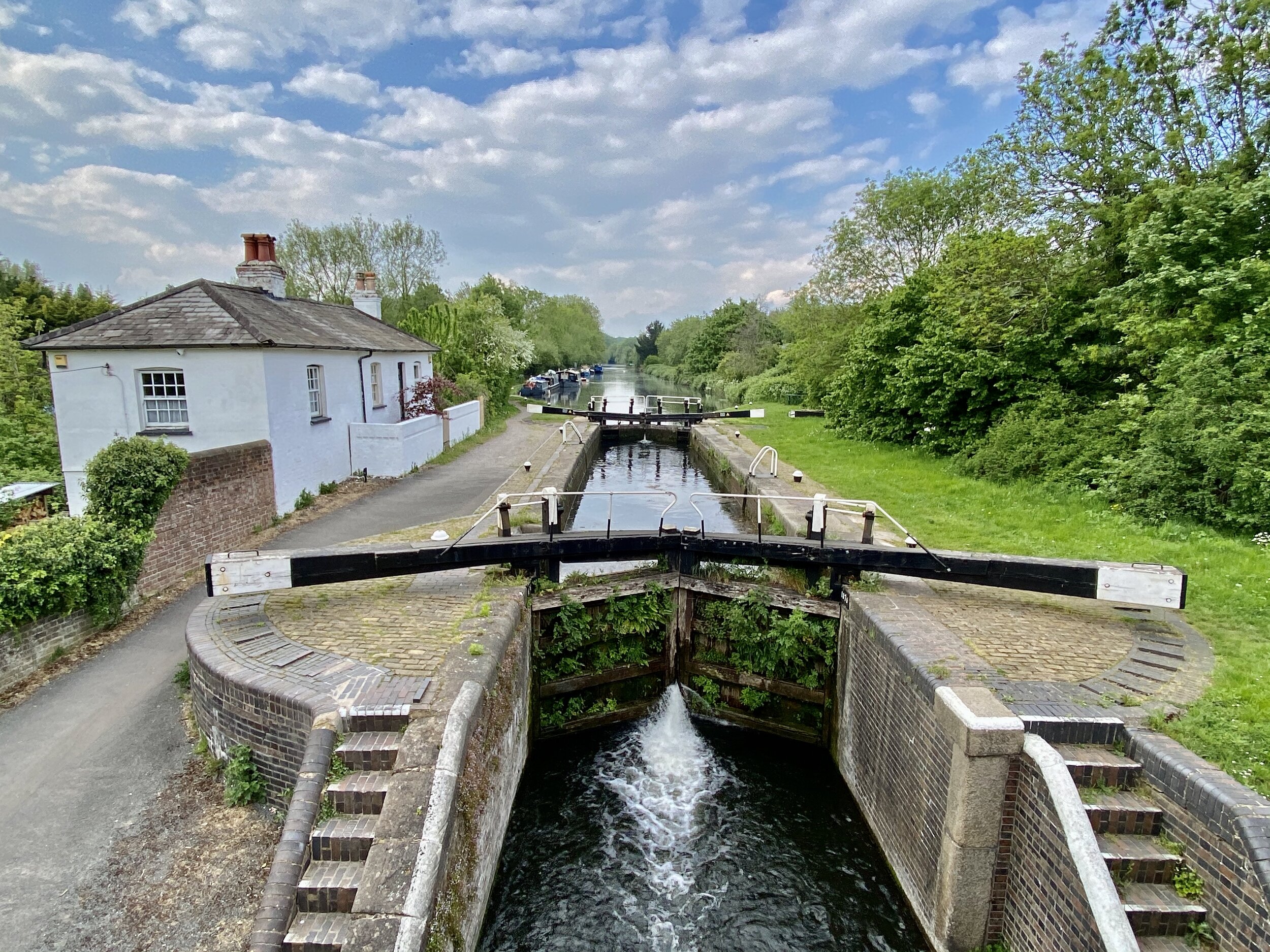
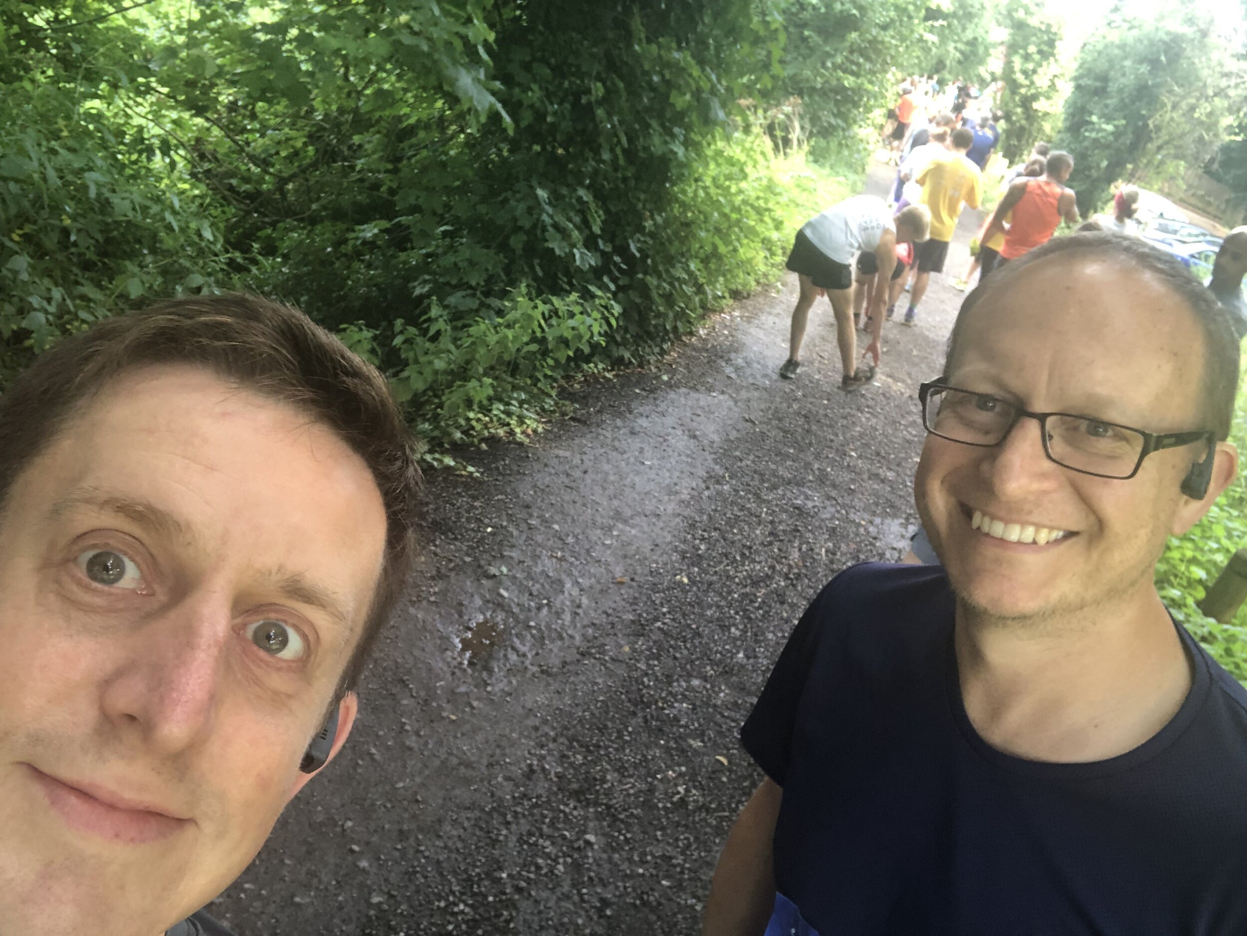
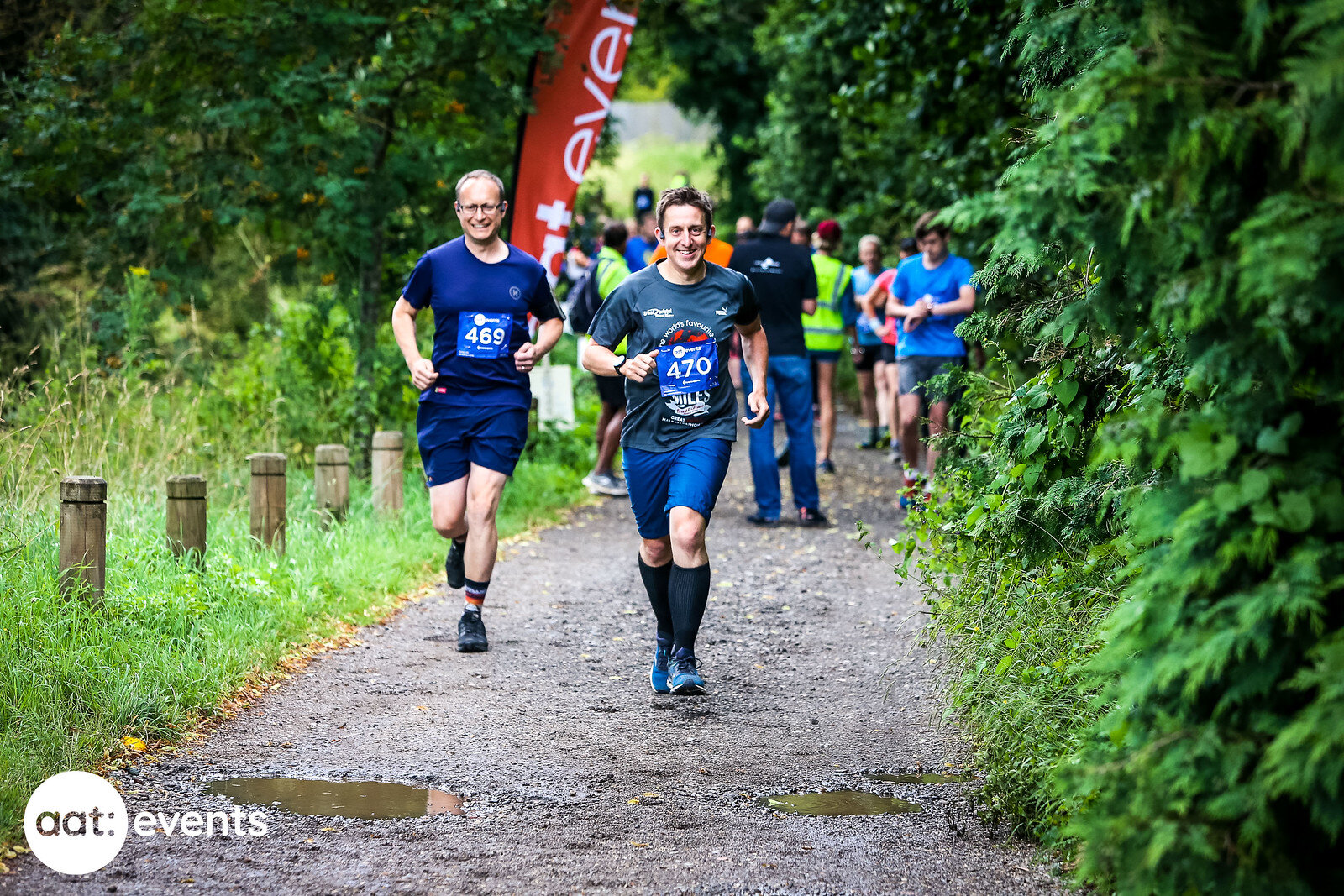
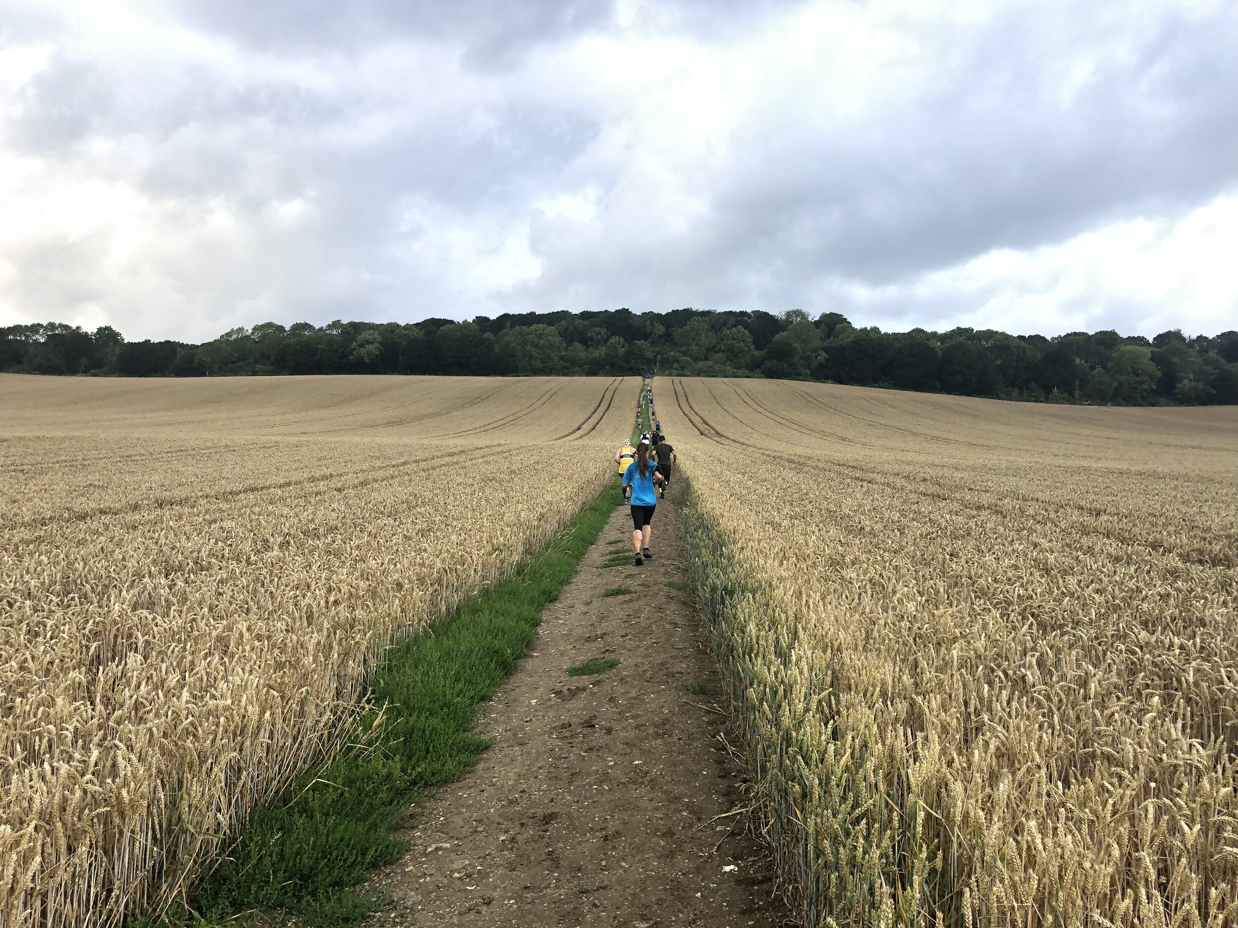
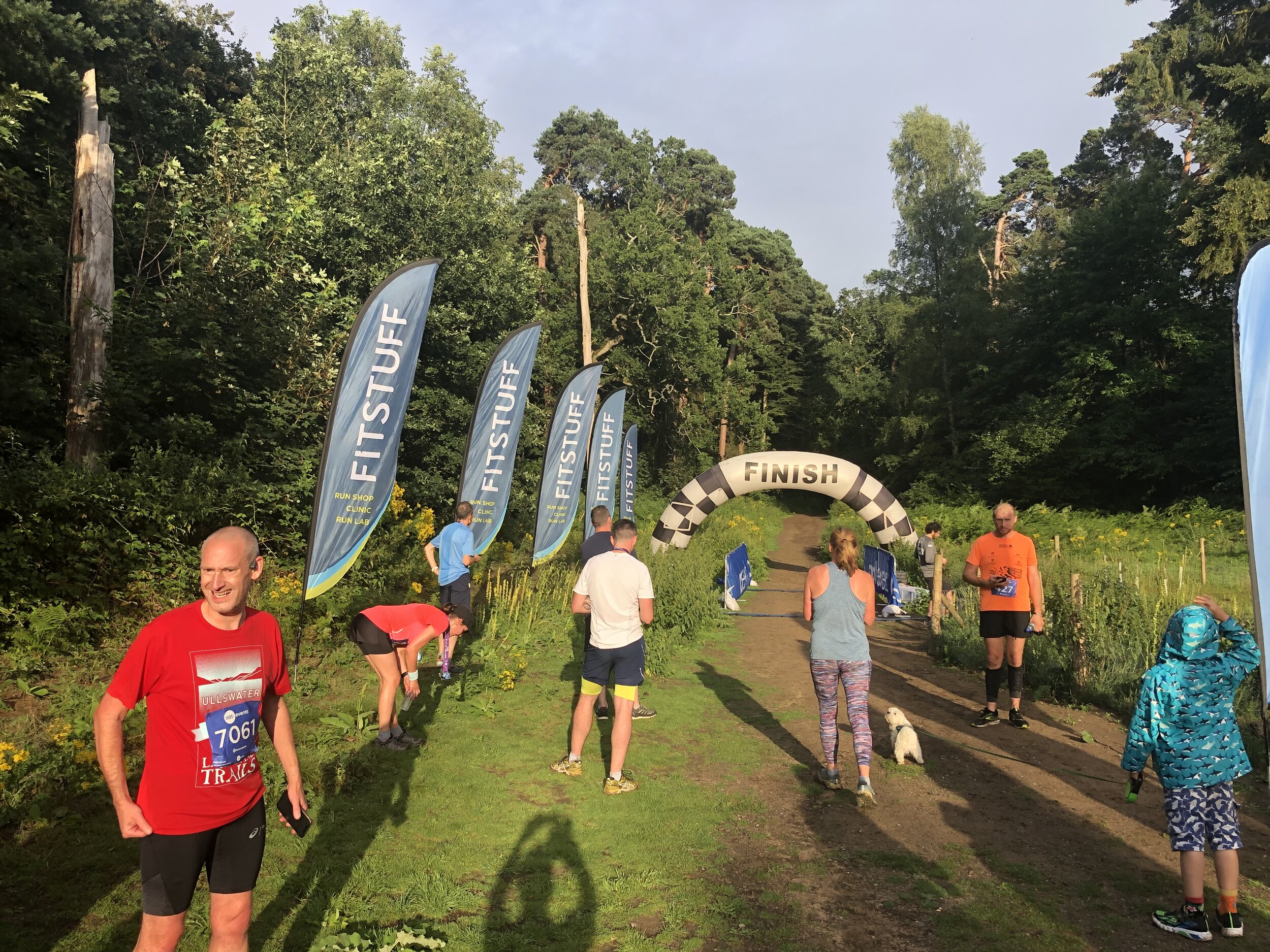
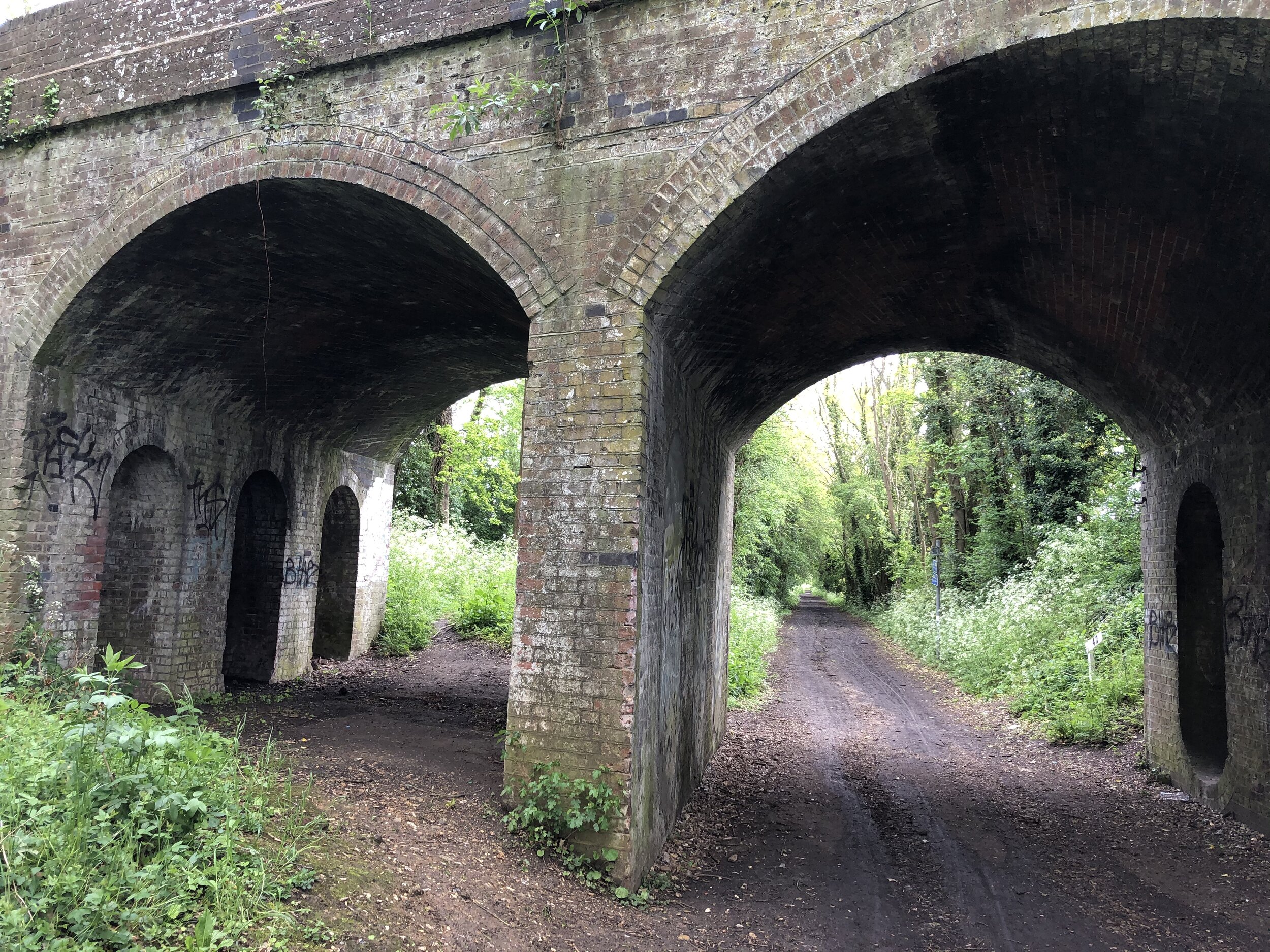
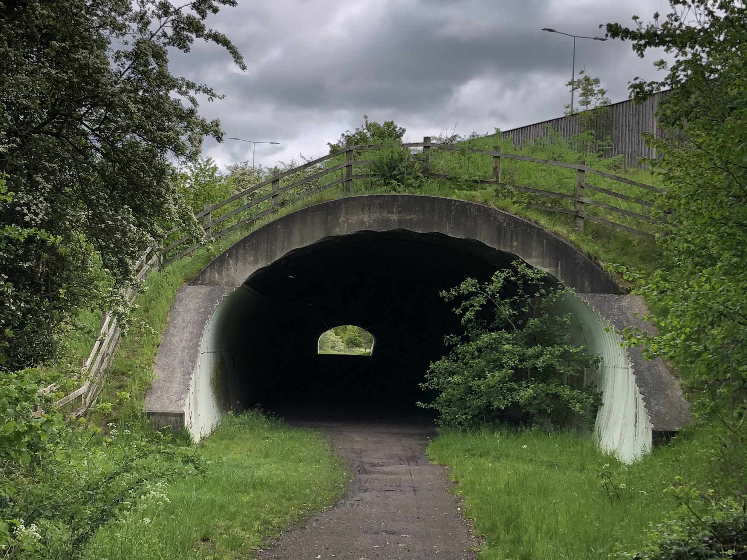
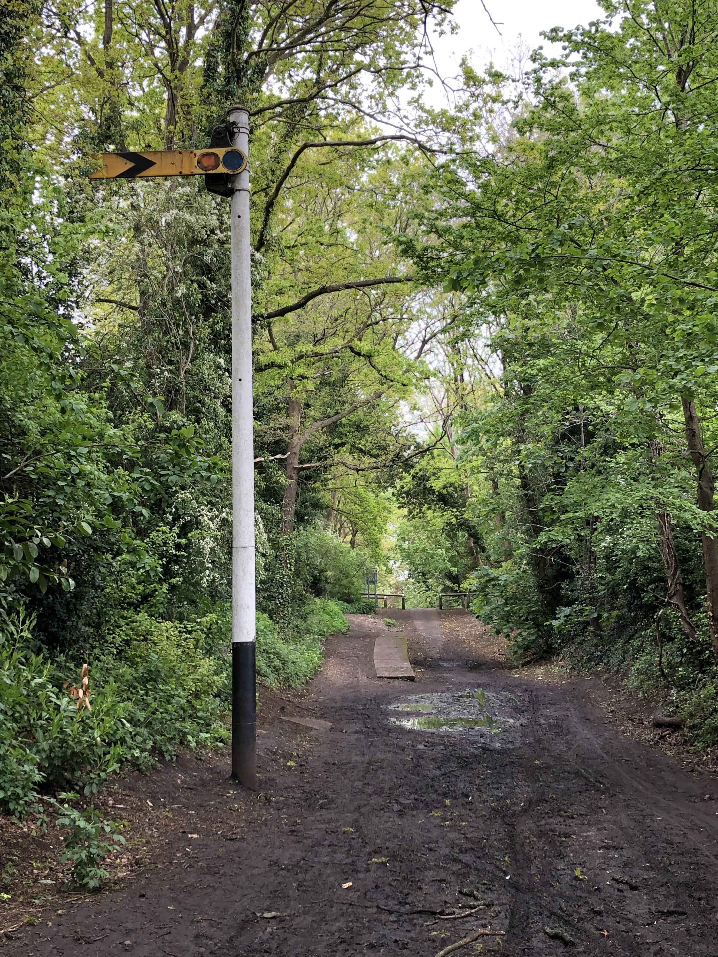
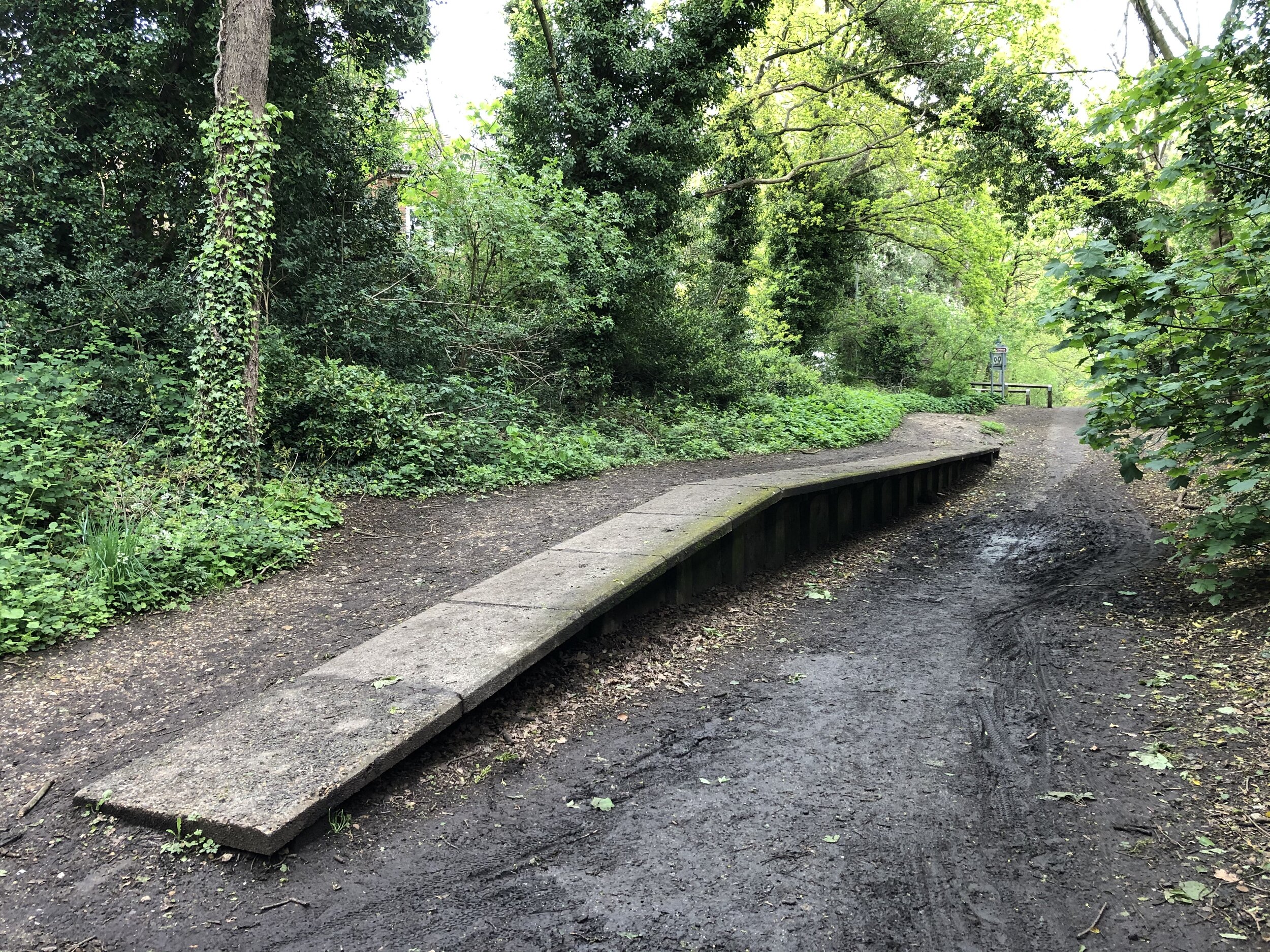
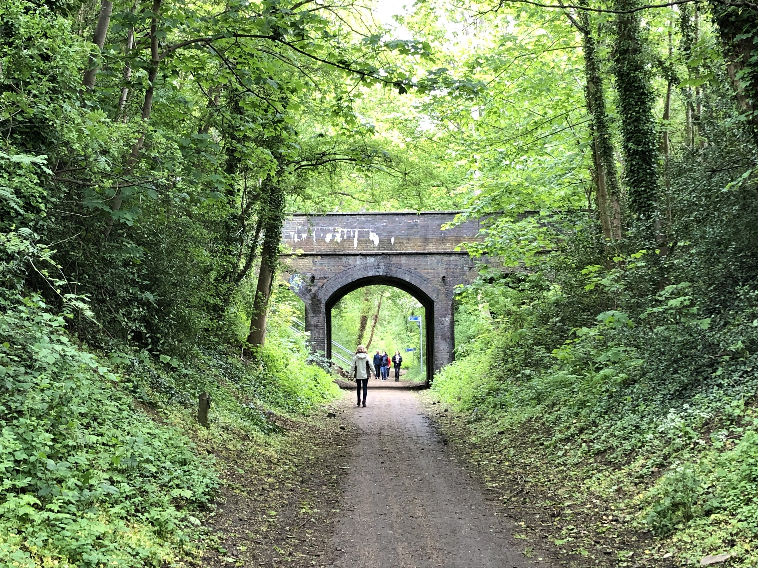
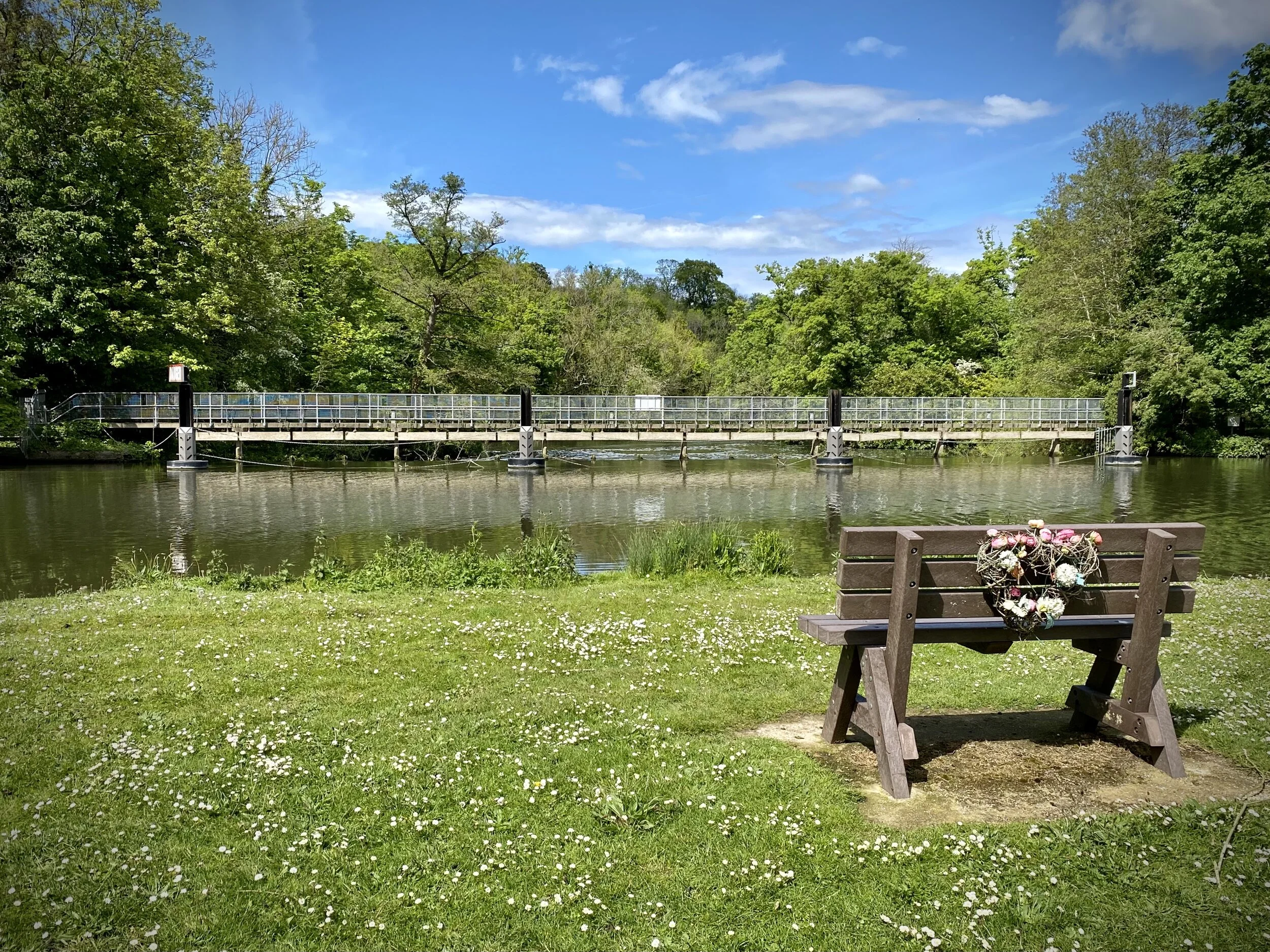
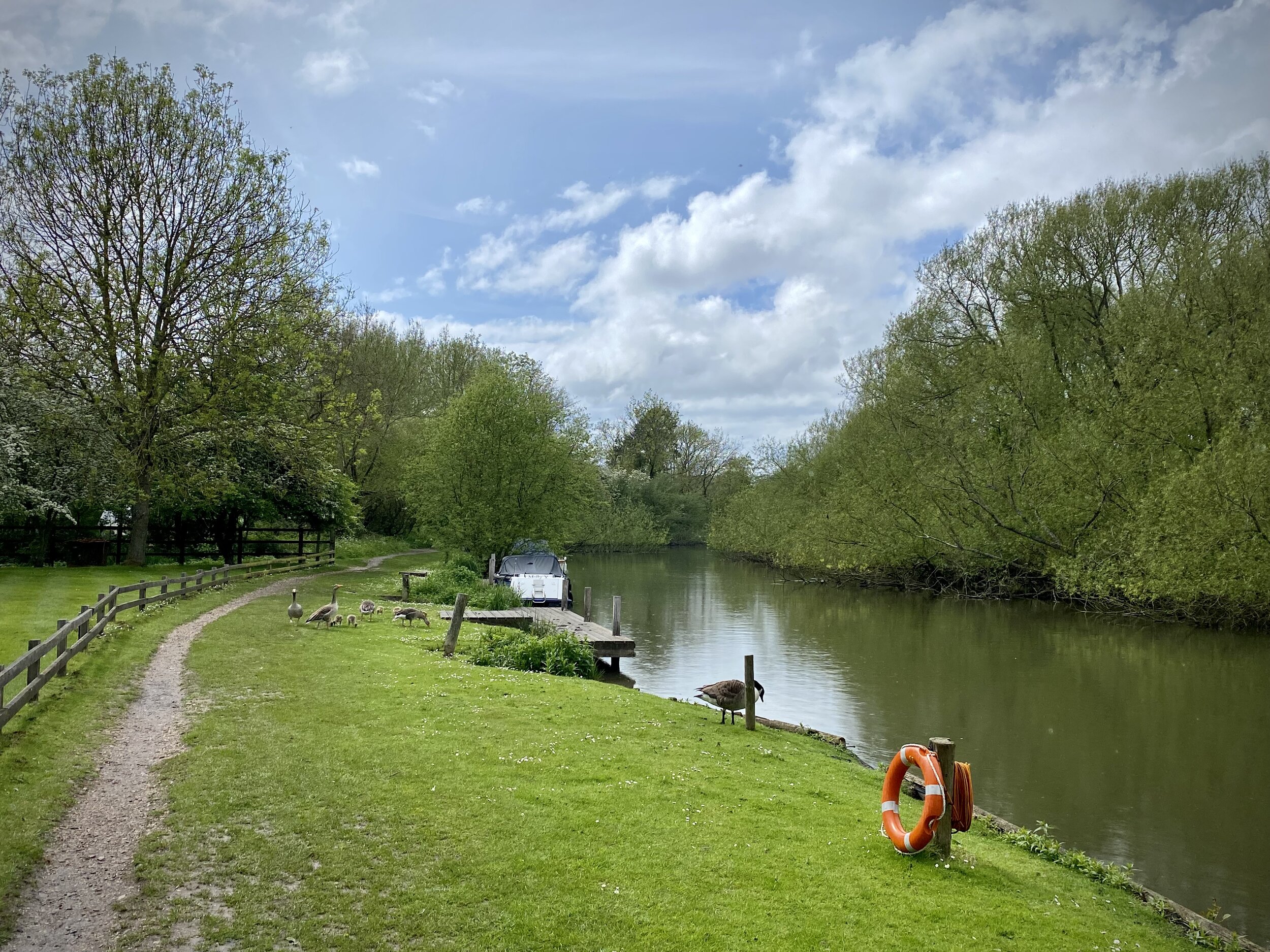
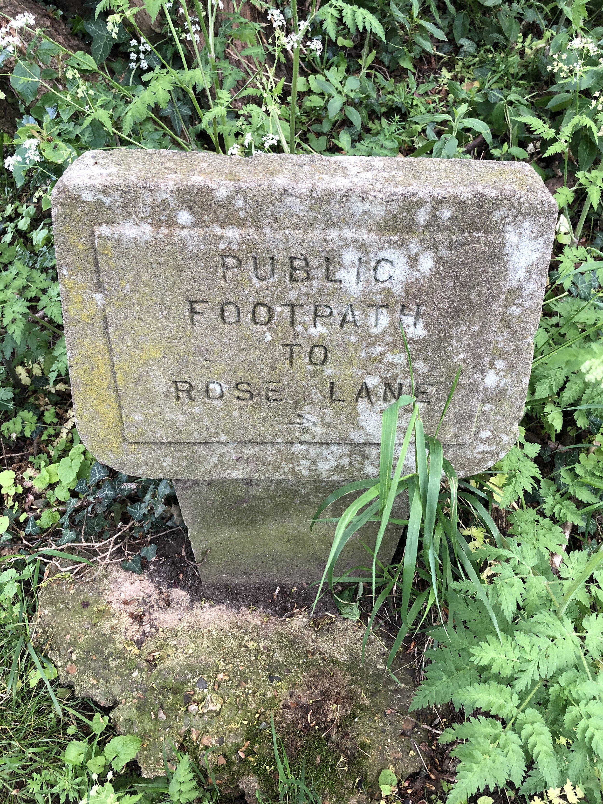
When: September 5th 2021
Where: Thame Leisure Centre, Oxford Road, Thame, OX9 2BB
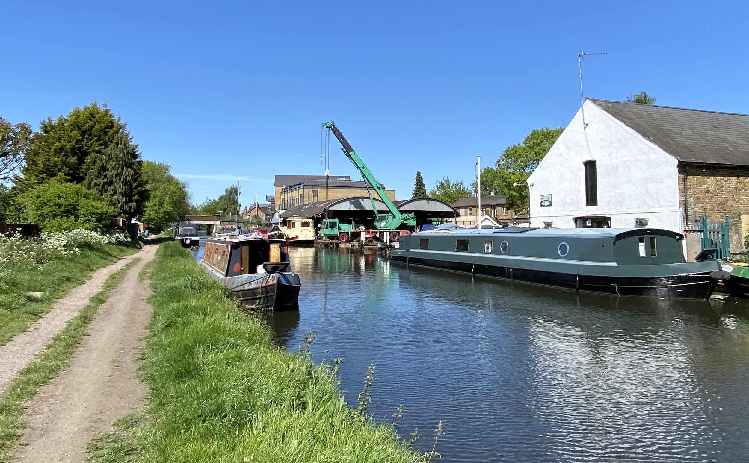
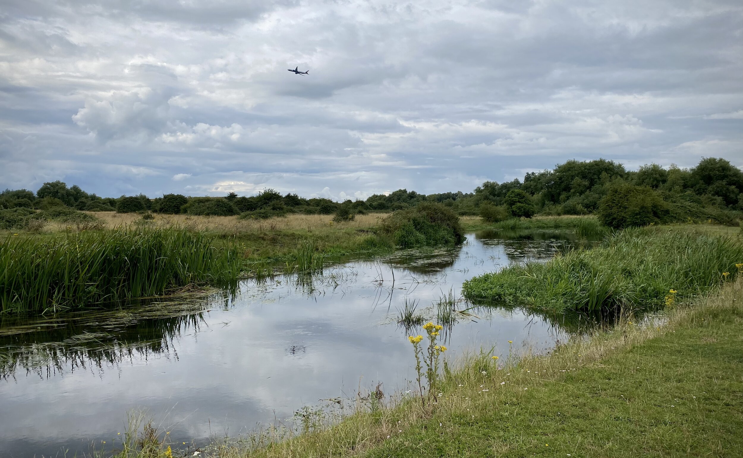
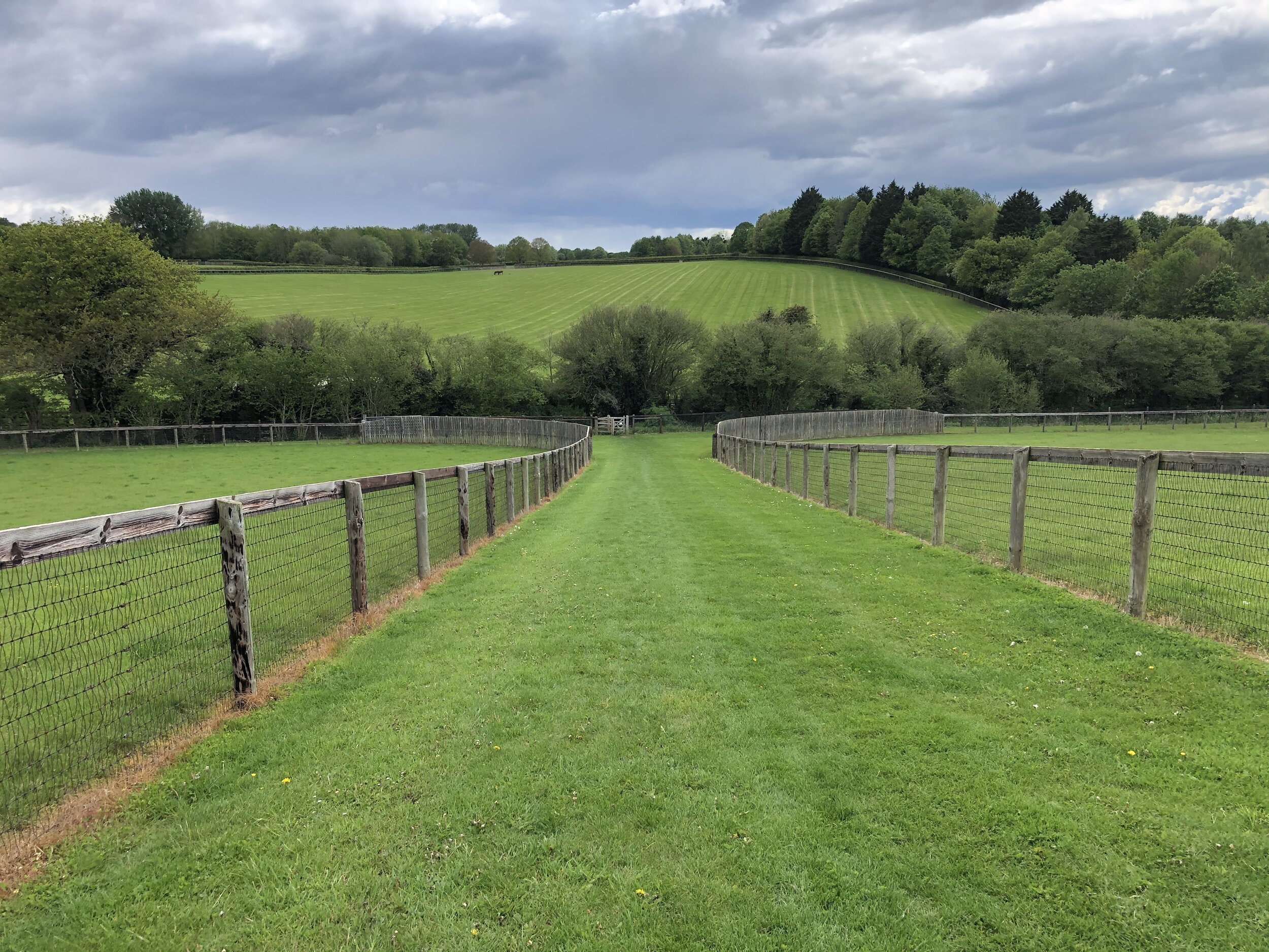
Course: Single loop out through Thame Town Centre and back via the Phoenix Trail
Other routes touched (walk): N/A
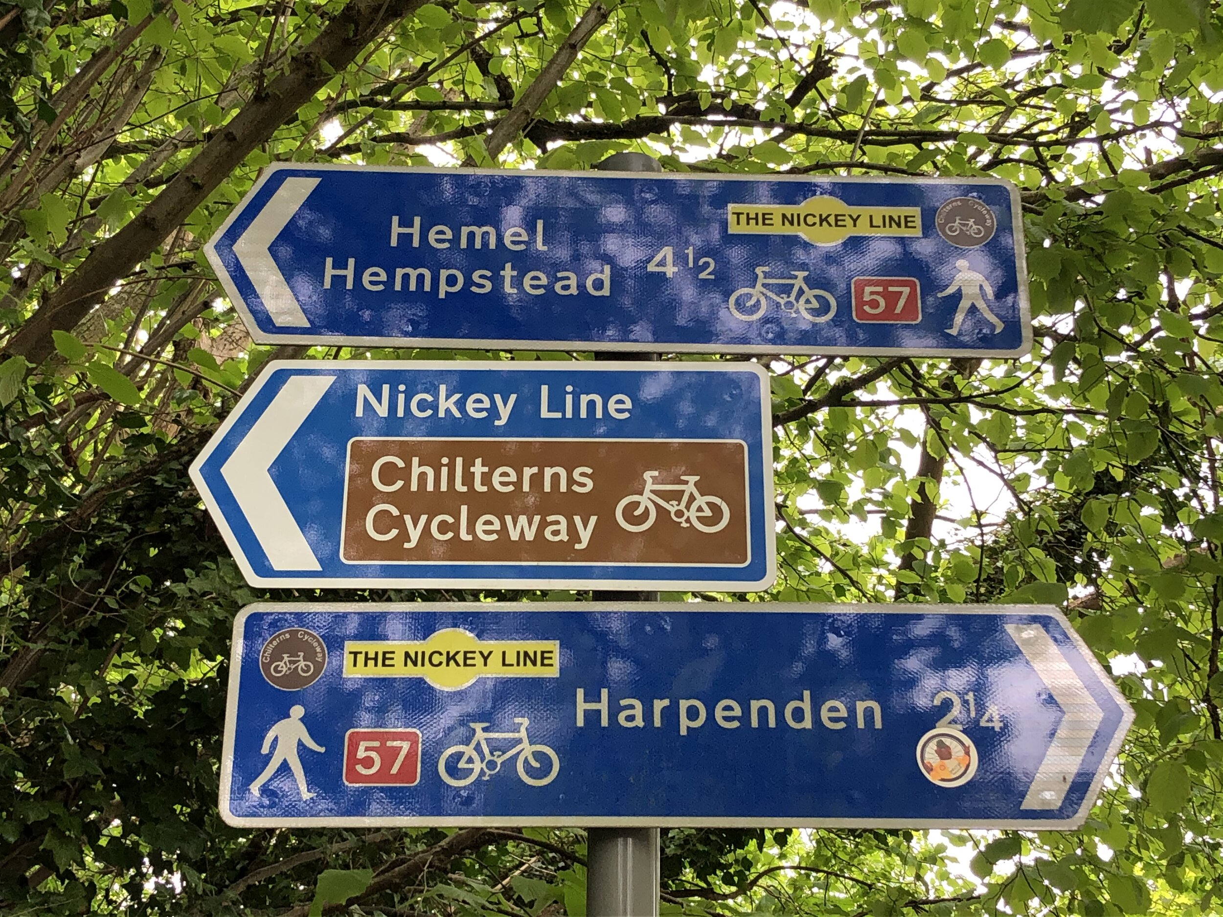
Other routes touched (cycle): Phoenix Trail, NCN 57
Finish time: 52:31
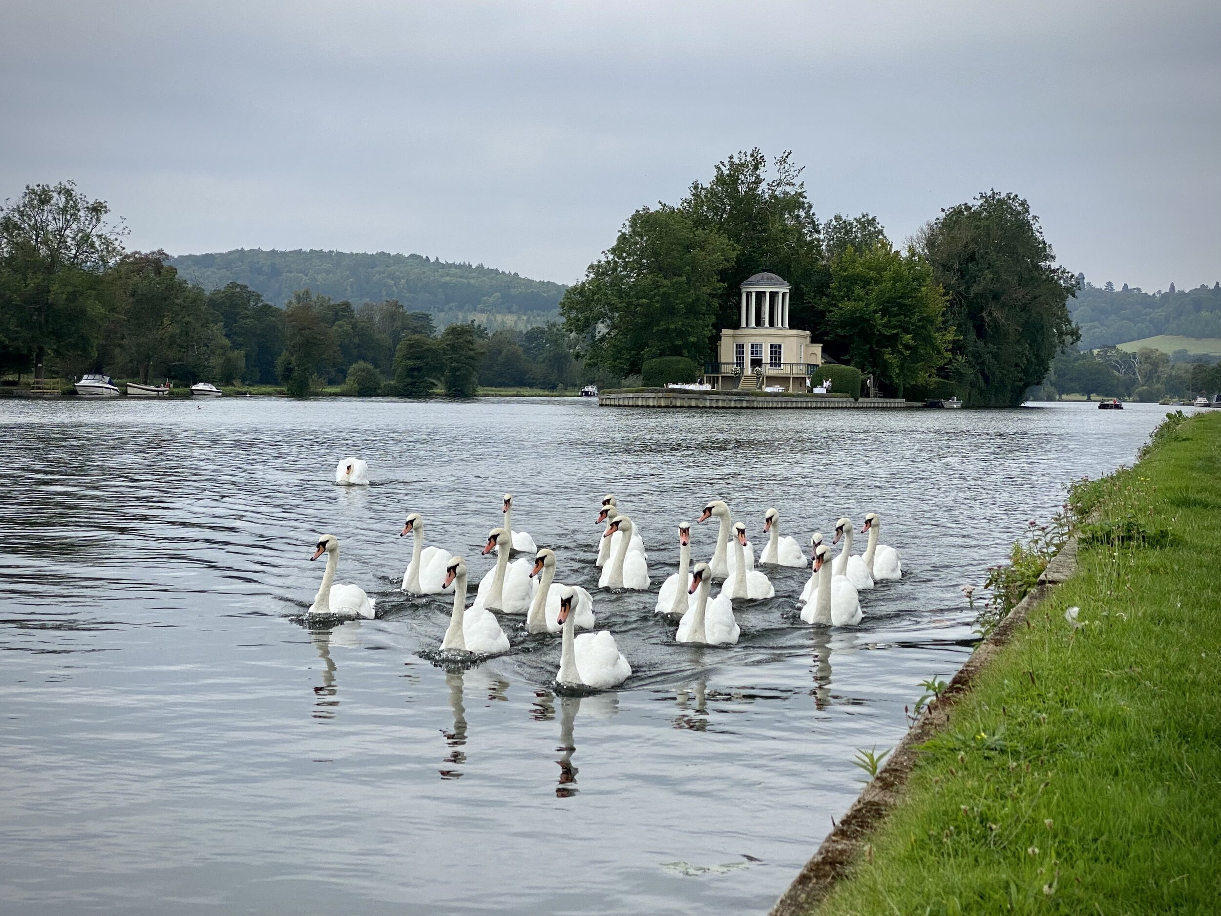
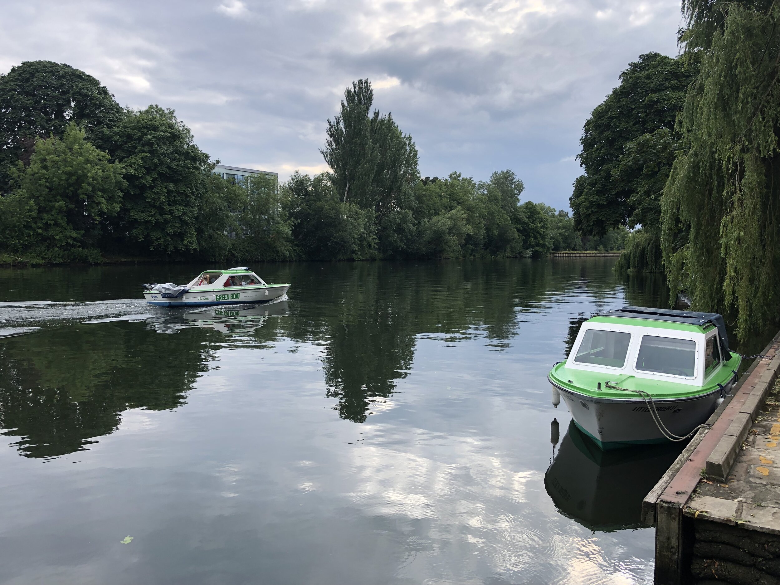
Temple Island
Start & Finish: Henley Bridge, White Hill, Henley-on-Thames, RG9 3HG
Distance: 8.4 km (5.2 miles)
Elevation change: +/- 54m
GPX File: get via Buy Me a Coffee
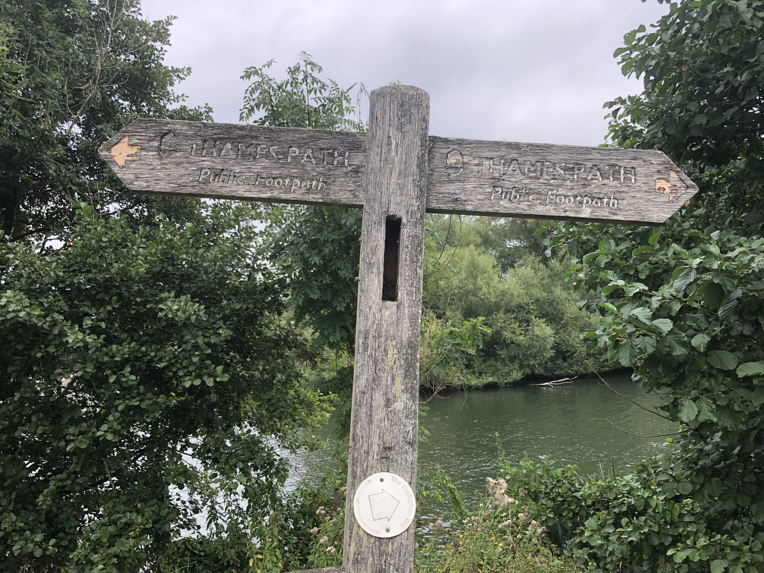
Other routes touched (walk): Thames Path, The Wokingham Way, The Chiltern Way Berkshire Loop,
Other routes touched (cycle): None
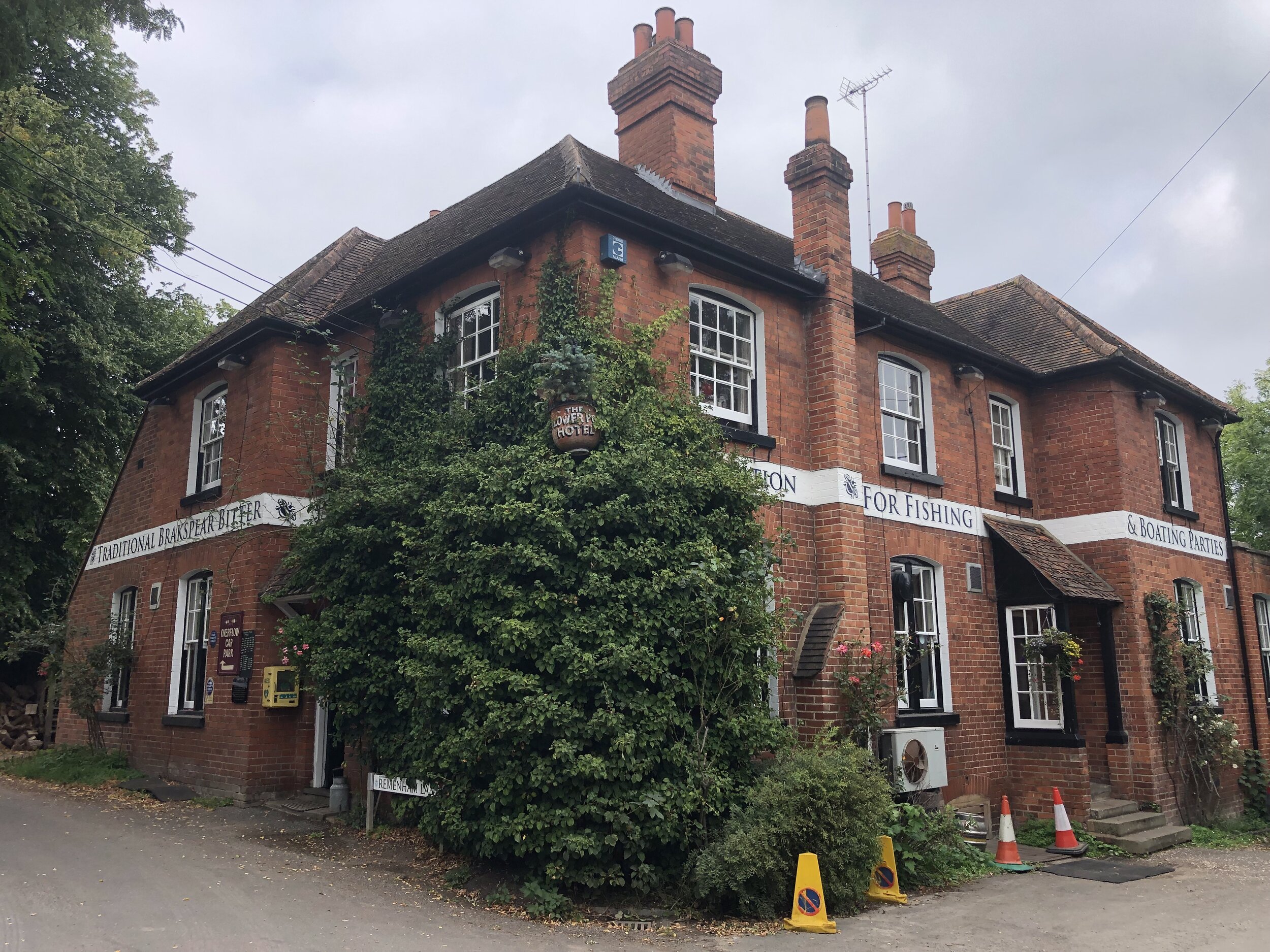
Pubs / Cafes on route: The Flower Pot, Aston
Map: Chiltern Hills West Map | Henley-on-Thames & Wallingford | Ordnance Survey | OS Explorer Map 171
Links: Henley-on-Thames, Remenham and Aston
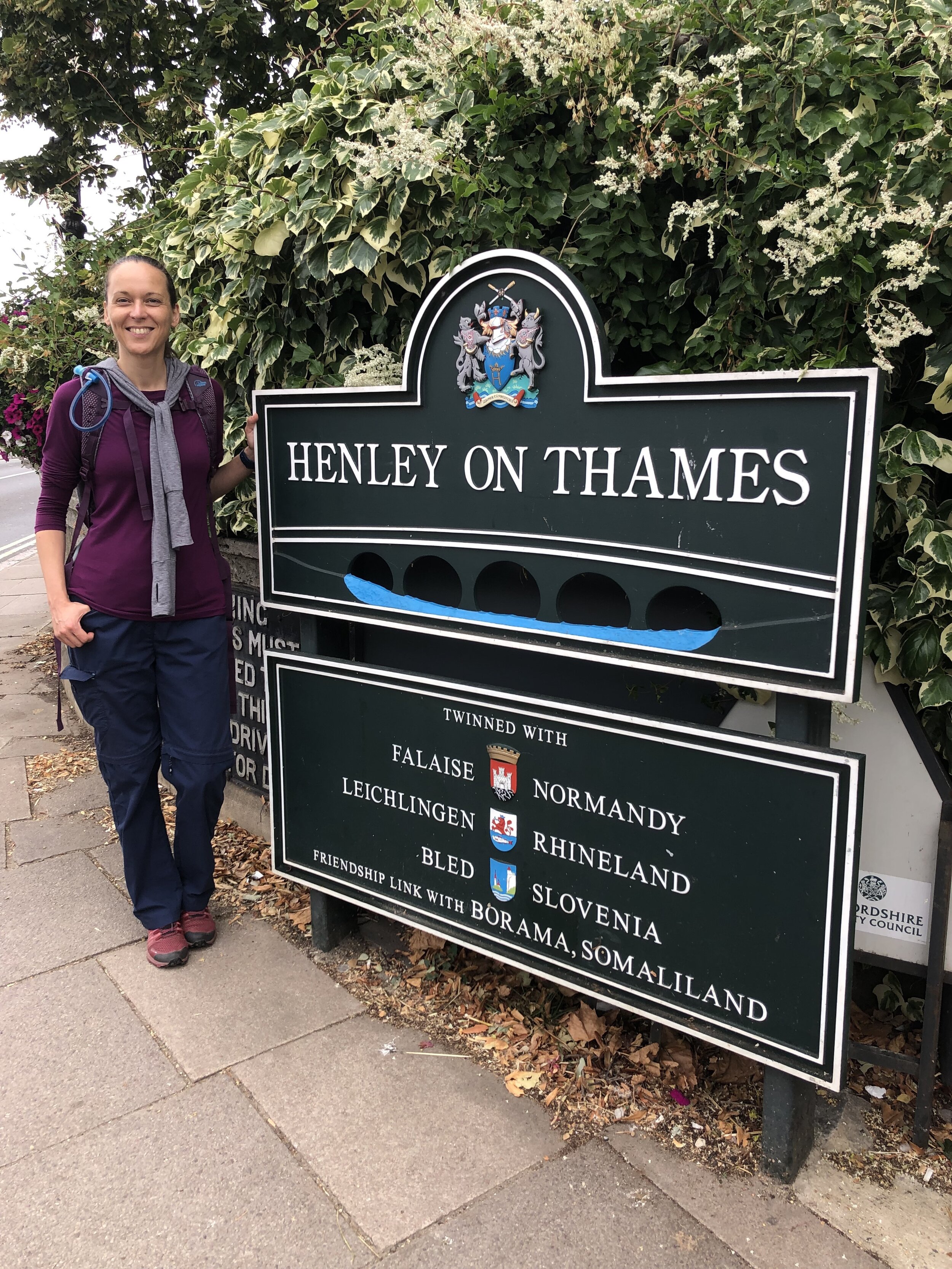
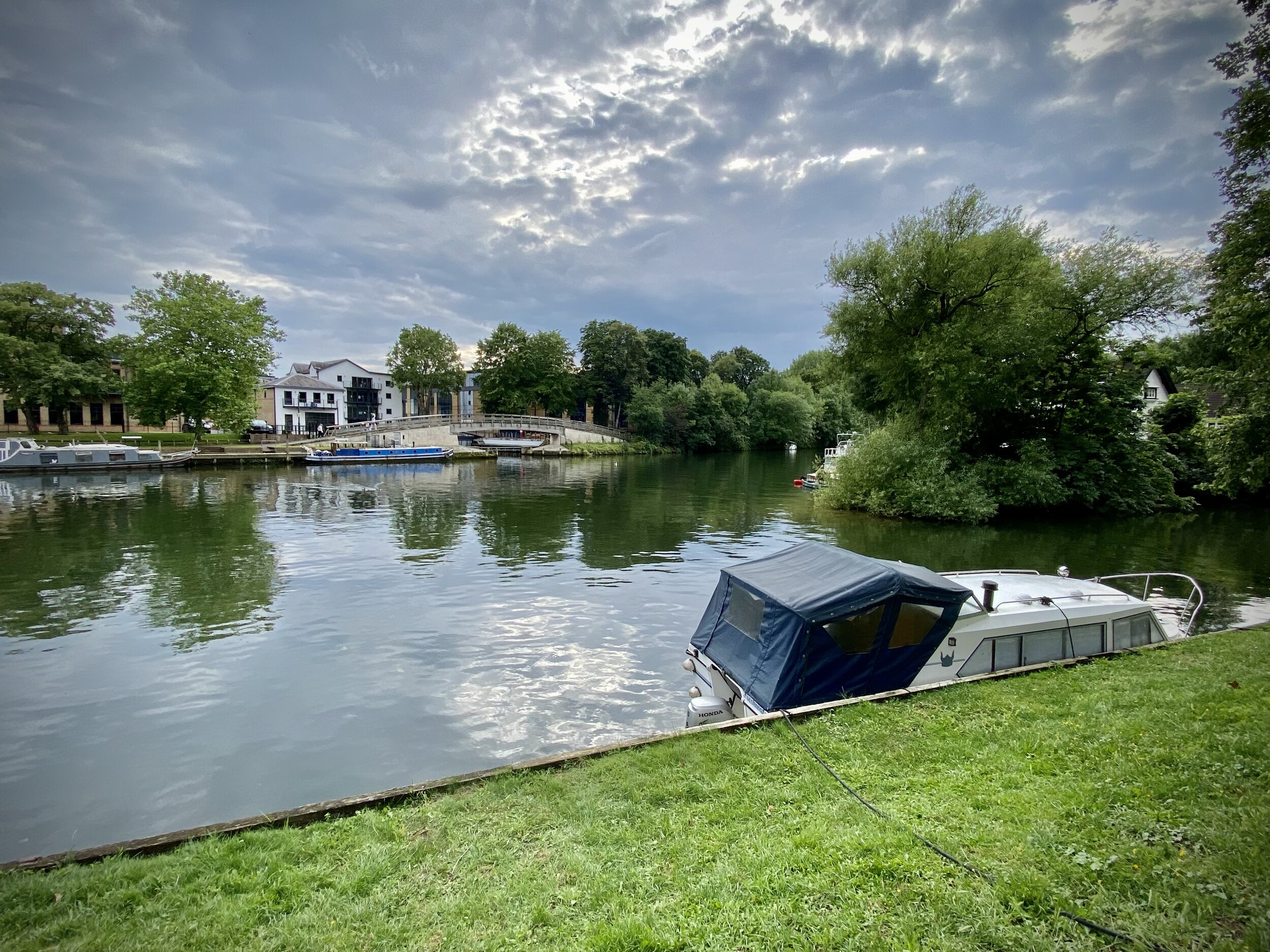
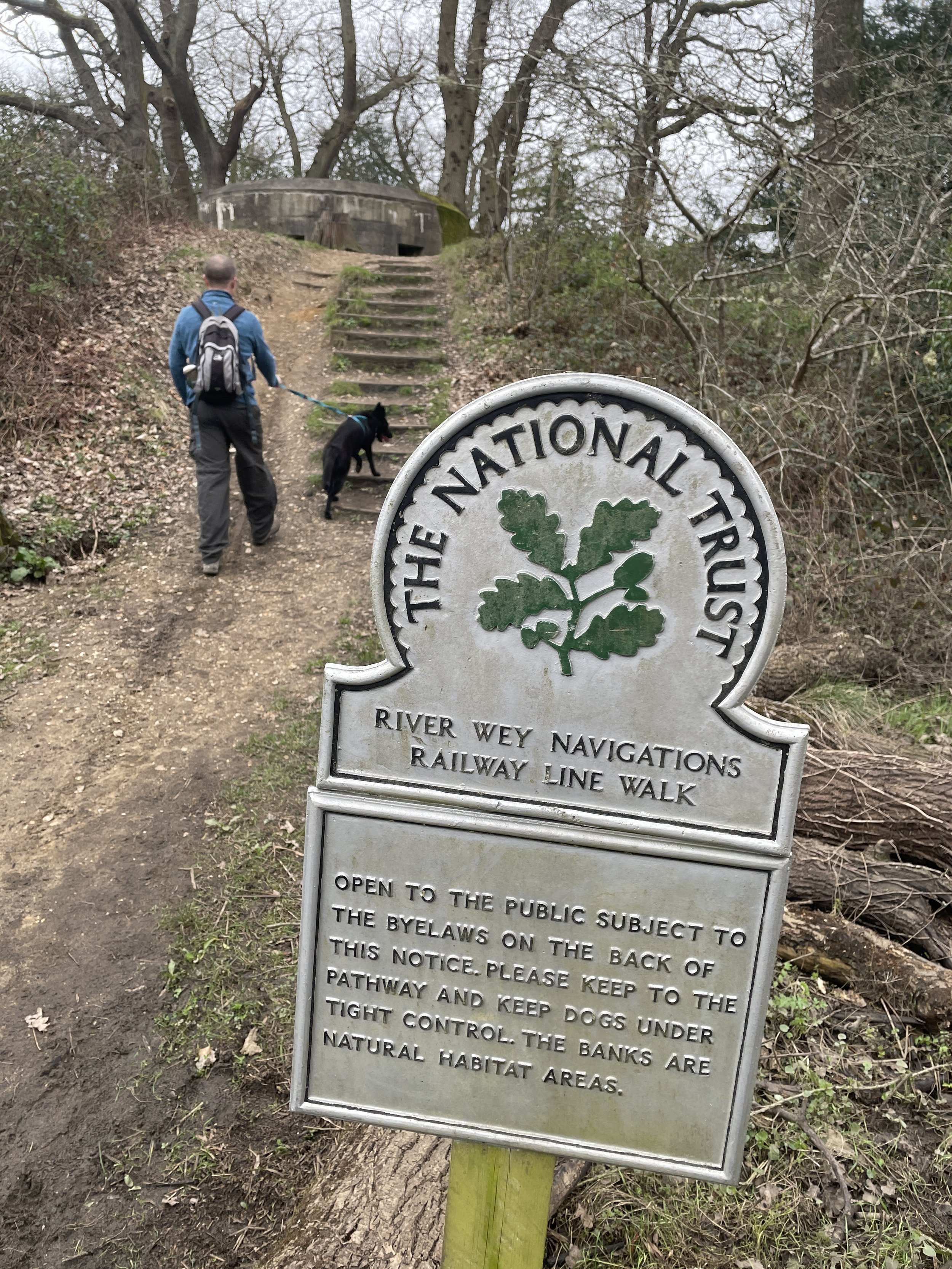
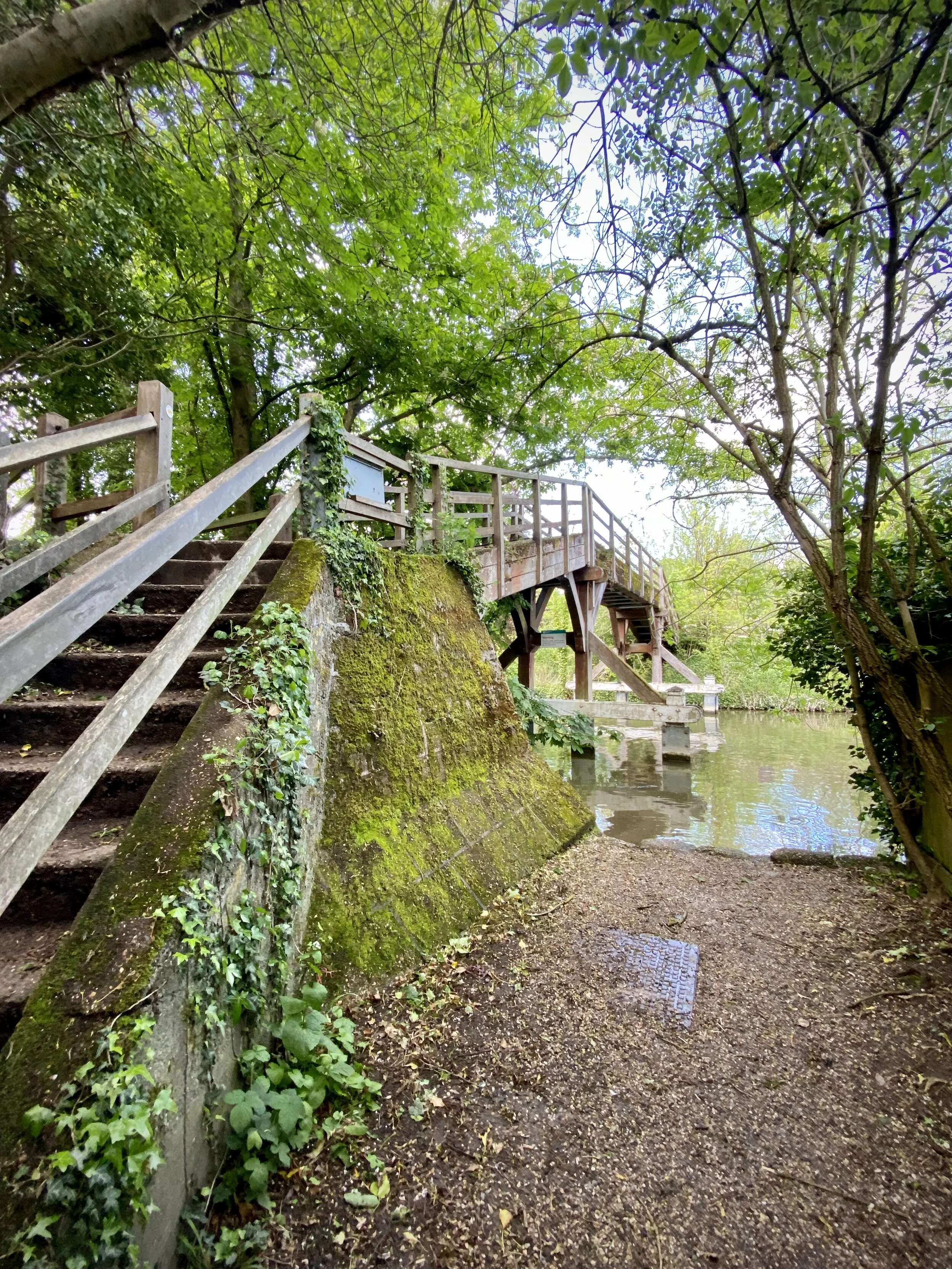
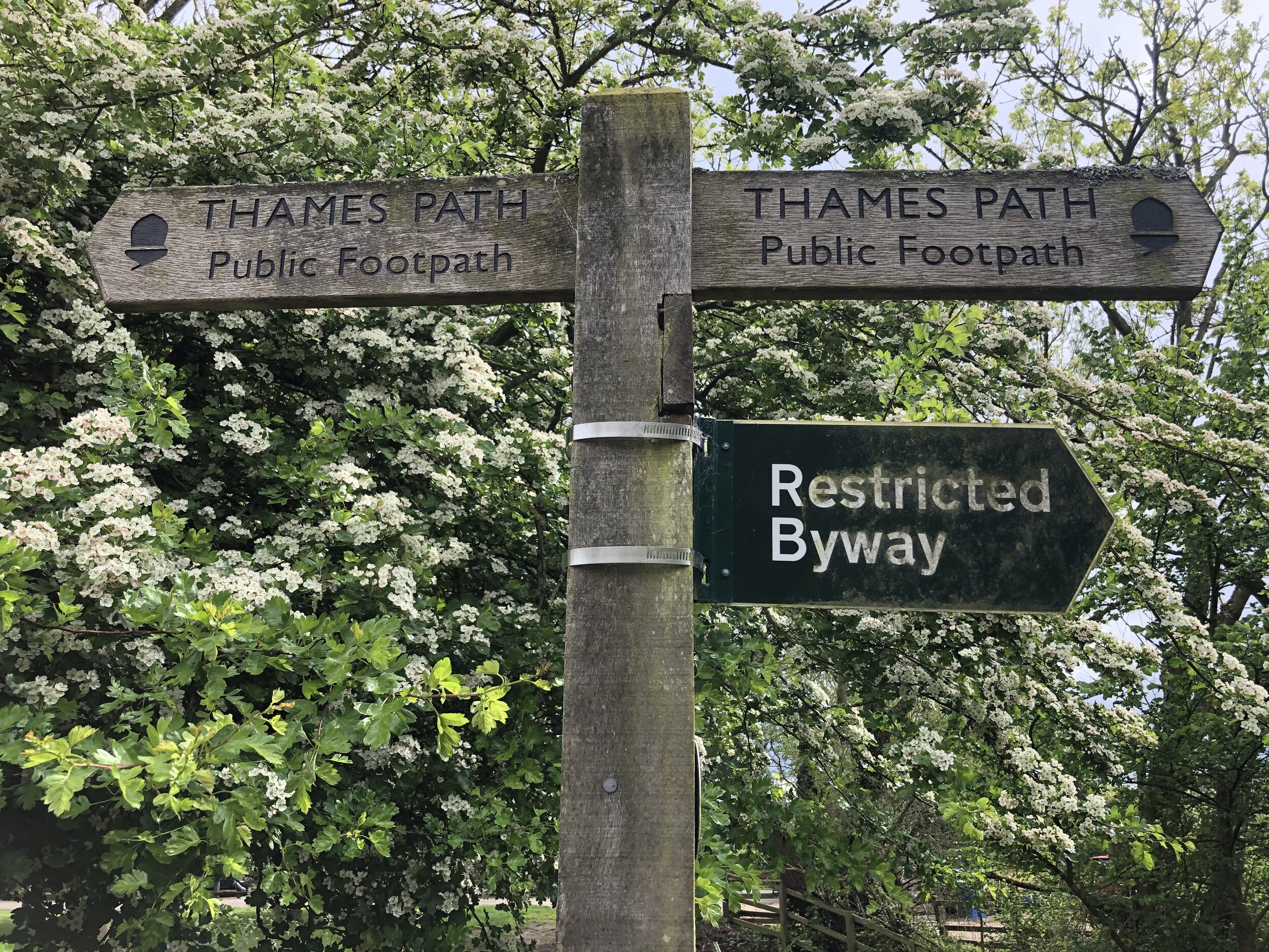
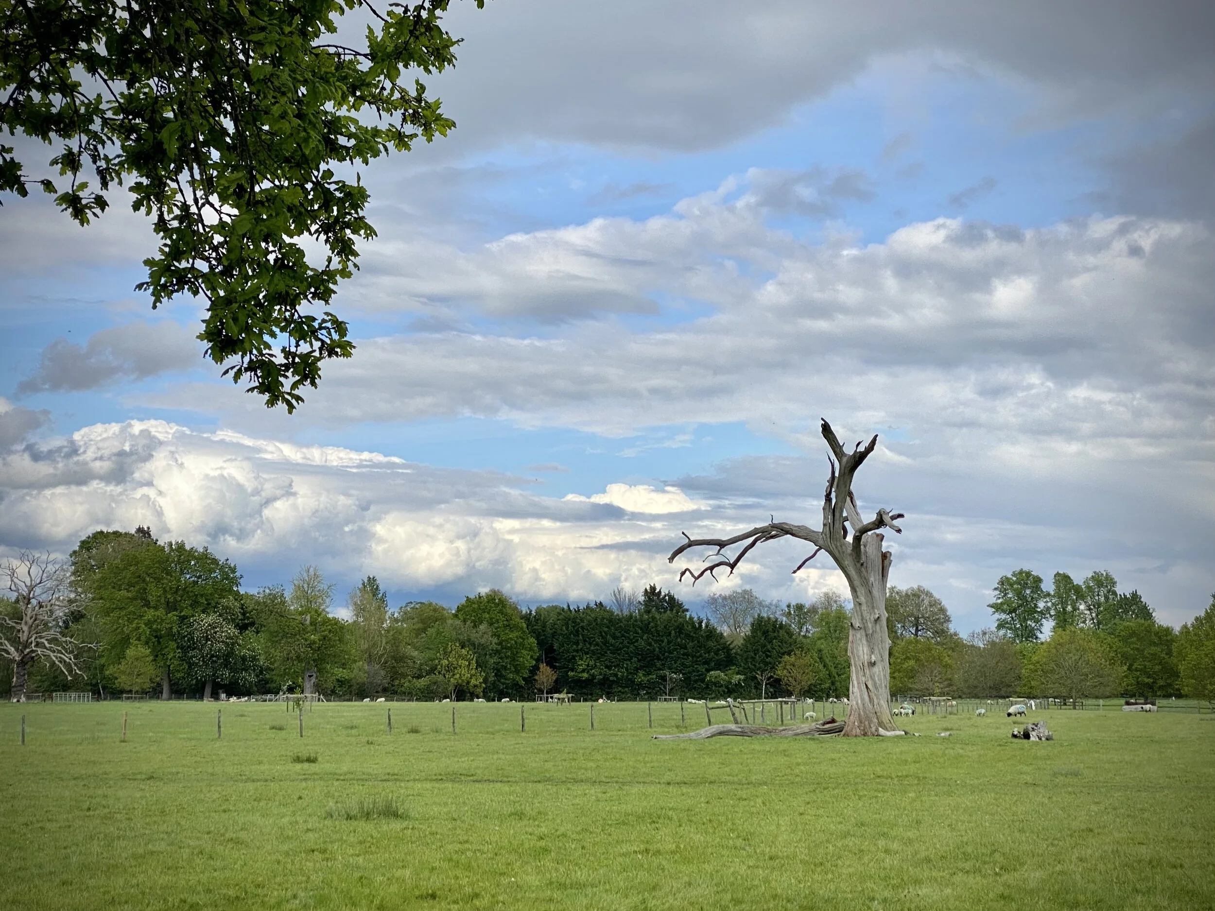
The latest of our series of short circular walks along the Thames Path starts and end in Henley-on-Thames. Navigation is especially easier as you’re following 2 well-signed trails for most of the route. The first 4.7km follows the Thames Path National Trail on the south side of the river. This is the venue for the Henley Regatta so it’s best to avoid it during the event.
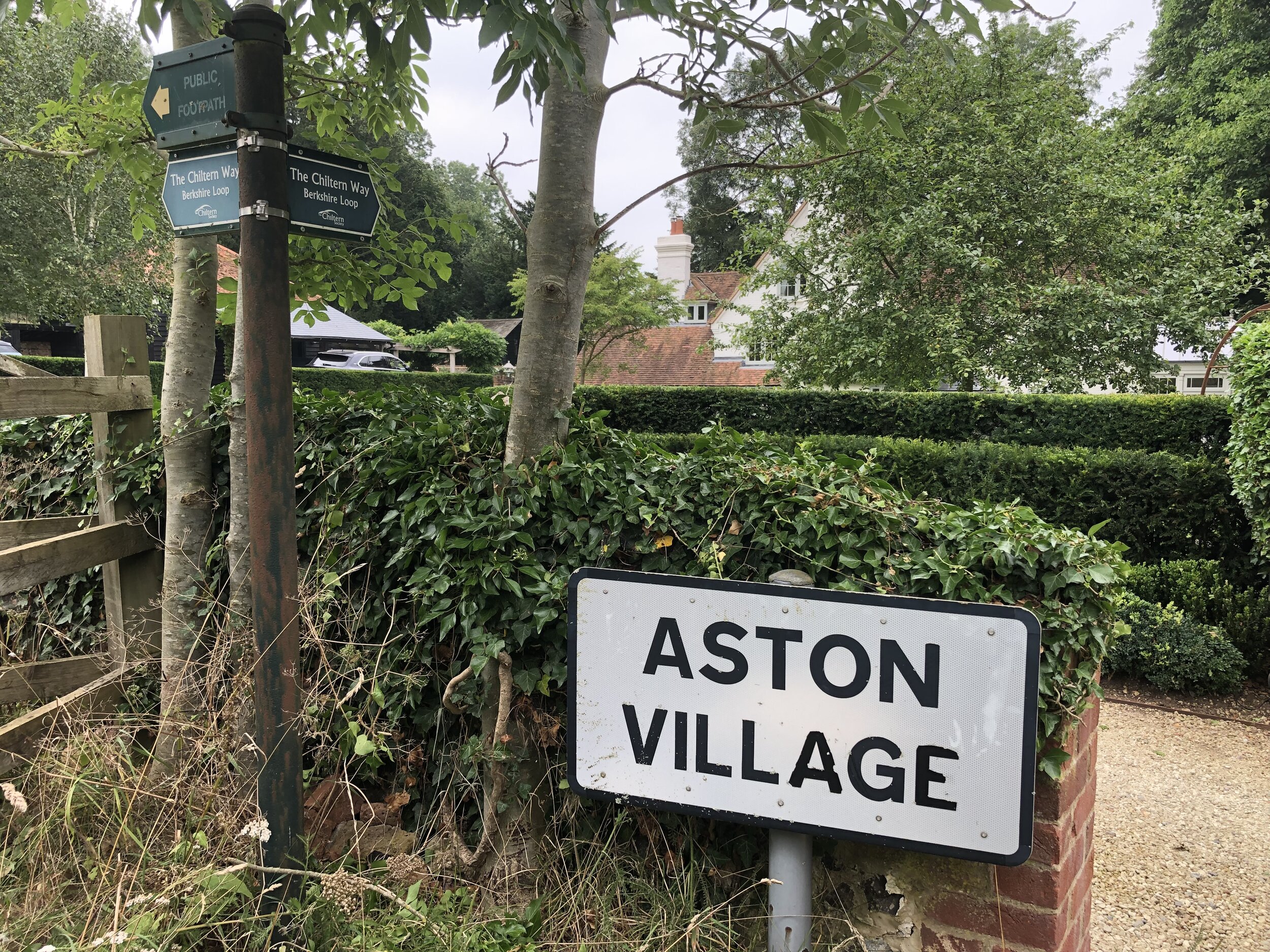
When the Thames Path reaches Aston Ferry Lane, take a right onto the lane and continue for ~500m past the Flower Pot pub. Don’t take the left hand turn to continue on the Thames Path. Immediately after the last house in the village take a right hand turn onto the Chiltern Way Berkshire Extension. Follow this in a south-westerly direction all the way back to Henley Bridge.
Previous Thames Path Section (west): Shiplake and Henley-on-Thames
Next Thames Path Section (east): Aston and Crazies Hill
There are 22 parkrun events in the Historic County of Gloucestershire, of which I have completed 4. Two of these events: Blaise Castle and Eastville are now in the Ceremonial County and Unitary Authority of Bristol. Three events: Thornbury, Chipping Sodbury and Pomphrey Hill are in the Unitary Authority of South Gloucestershire. The name for having completed all parkrun events in the county is “Glos’ed Over”.
Severn Bridge gets a special mention as most of the course is in Gloucestershire but the start and end are in Monmouthshire, Wales.
The county’s first parkrun event was Forest of Dean, whose inaugural was on April 24th 2010. The newest event is Blaise Castle which started on May 6th 2023.
The interactive maps below take you to the approximate location for the course, typically the centre of the park. See the course instructions in the parkrun page for each event for specific directions to the start. Course maps show the route at the time that I ran it and may have changed since then.
Berkeley Green
I have not yet completed this event
Inaugural: February 1st 2020
Links: Event Home Page, Course Page
Blaise Castle
I have not yet completed this event
In the Ceremonial County & Unitary Authority of: Bristol
Inaugural: May 6th 2023
Links: Event Home Page, Course Page
Cheltenham
I completed this event on: December 28th 2015 with a finish time of: 25:43
Other routes touched: none
Inaugural: February 16th 2013
Links: Event Home Page, Course Page
Chipping Sodbury
I have not yet completed this event
In the Unitary Authority of: South Gloucestershire.
Inaugural: February 22nd 2014
Links: Event Home Page, Course Page
Cirencester
I completed this event on: November 13th 2019 with a finish time of: 26:49
Other routes touched (walk): Monarch’s Way
Inaugural: February 3rd 2018
Links: Event Home Page, Course Page
Eastville
I have not yet completed this event
In the Ceremonial County & Unitary Authority of: Bristol
Inaugural: November 18th 2017
Links: Event Home Page, Course Page
Forest of Dean
I have not yet completed this event
Inaugural: April 24th 2010
Links: Event Home Page, Course Page
Gloucester City
I have not yet completed this event
Inaugural: February 24th 2018
Links: Event Home Page, Course Page
Gloucester North
I have not yet completed this event
Inaugural: October 10th 2015
Links: Event Home Page, Course Page
King George V Playing Field
I have not yet completed this event
Inaugural: September 14th 2019
Links: Event Home Page, Course Page
Kingsway, Gloucester
I have not yet completed this event
Inaugural: June 6th 2015
Links: Event Home Page, Course Page
Lydney
I have not yet completed this event
Inaugural: January 2nd 2016
Links: Event Home Page, Course Page
Mallards Pike
I have not yet completed this event
Inaugural: August 31st 2019
Links: Event Home Page, Course Page
Newent
I have not yet completed this event
Inaugural: March 9th 2013
Links: Event Home Page, Course Page
Pomphrey Hill
I have not yet completed this event
In the Unitary Authority of: South Gloucestershire.
Inaugural: March 1st 2014
Links: Event Home Page, Course Page
Severn Bridge
Most of the course is in Gloucestershire but the start and end are in Monmouthshire, Wales.
I completed this event on: November 3rd 2018 with a finish time of: 28:14
Other routes touched (walk): Wales Coast Path
Other routes touched (cycle): NCN4
Inaugural: August 11th 2018
Links: Event Home Page, Course Page
Stonehouse
I have not yet completed this event
Inaugural: July 23rd 2016
Links: Event Home Page, Course Page
Stratford Park, Stroud
I have not yet completed this event
Inaugural: August 31st 2019
Links: Event Home Page, Course Page
Tetbury Goods Shed
I completed this event on: August 17th 2019 with a finish time of: 28:54
Other routes touched (cycle): NCN 48
Inaugural: May 18th 2019
Links: Event Home Page, Course Page
Tewkesbury
I have not yet completed this event
Inaugural: July 4th 2015
Links: Event Home Page, Course Page
Thornbury
I have not yet completed this event
In the Unitary Authority of: South Gloucestershire.
Inaugural: November 18th 2017
Links: Event Home Page, Course Page
Wotton
I have not yet completed this event
Inaugural: October 22nd 2016
Links: Event Home Page, Course Page
More parkrun posts
parkruns are free, weekly, community 5k events all around the world. I started in December 2012 and have been obsessive about it ever since. See my parkrun Collection page for details.
Featured and popular parkrun posts:
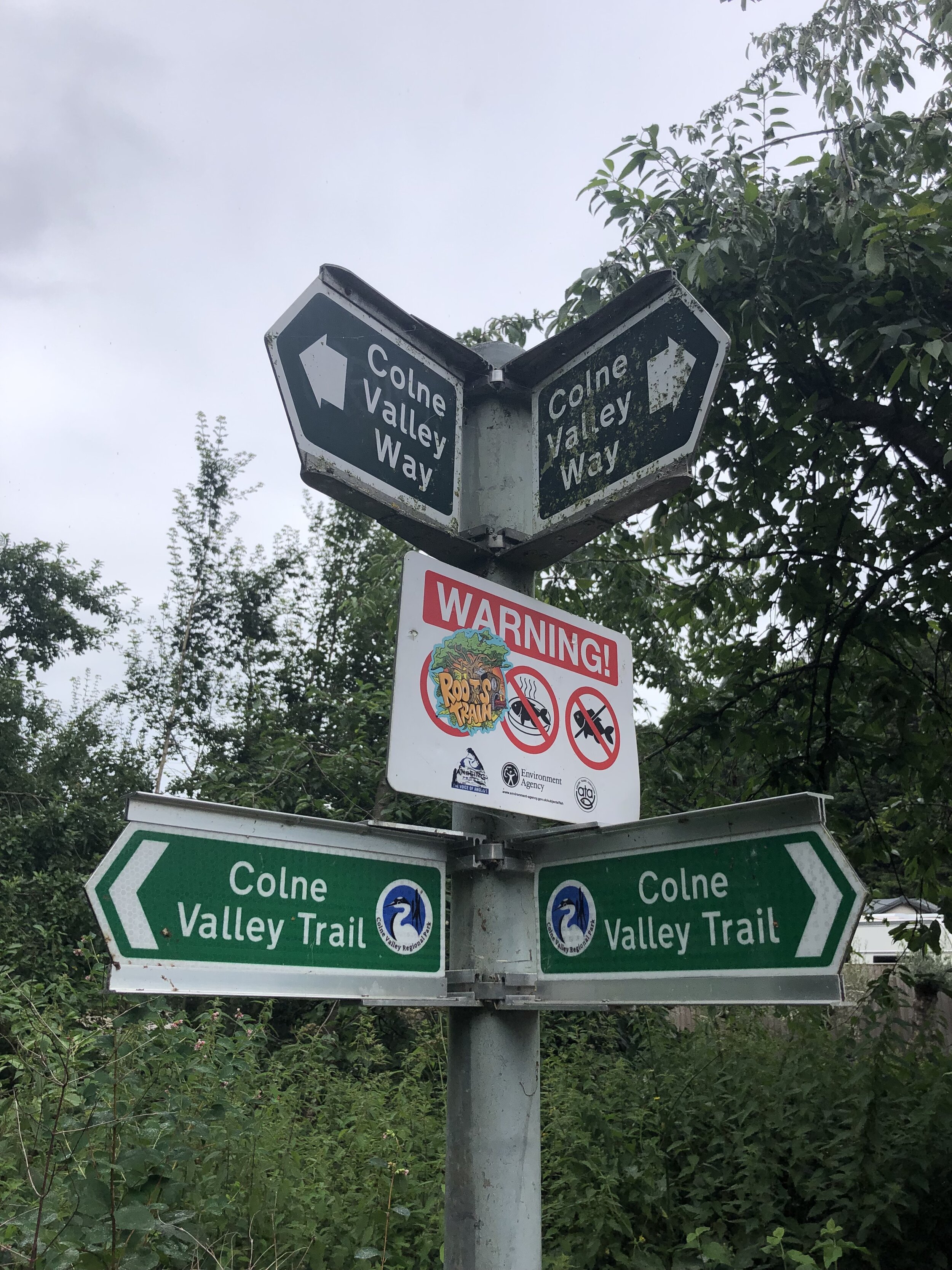
The Colne Valley Trail runs the length of the Colne Valley Regional Park from Rickmansworth in the North to the River Thames at Staines at the Southern End. The Southern Sections are sign-posted the Colne Valley Way although it’s effectively one continuous trail. There’s also a spur connecting Langley Park to The Grand Union Canal at Cowley Lock.
We completed the first 2 sections from Rickmansworth to Yiewsley in Spring 2020. The bridge over the M4 was currently closed at the time due to roadworks and we completed the 3rd section in July 2021 when the bridge re-opened.
The guidance below will help you navigate but don’t use it as a fully accurate turn-by-turn guide. Always take a map and/or a GPX route and prepare well for the weather and terrain.
SECTION 1 - RICKMANSWORTH TO UXBRIDGE
Start: Rickmansworth Aquadrome, Frogmoor Lane, Rickmansworth WD3 1NB
Finish: The Swan and Bottle, Oxford Rd, Uxbridge UB8 1LZ
Distance: 11.5 km (7.1 miles)
Elevation change: +38m / -50m. Net -12m
GPX File: get via Buy Me a Coffee
Other routes touched (walk): Grand Union Canal Towpath, Hillingdon Trail, London Loop
Other routes touched (cycle): NCN 6, 61
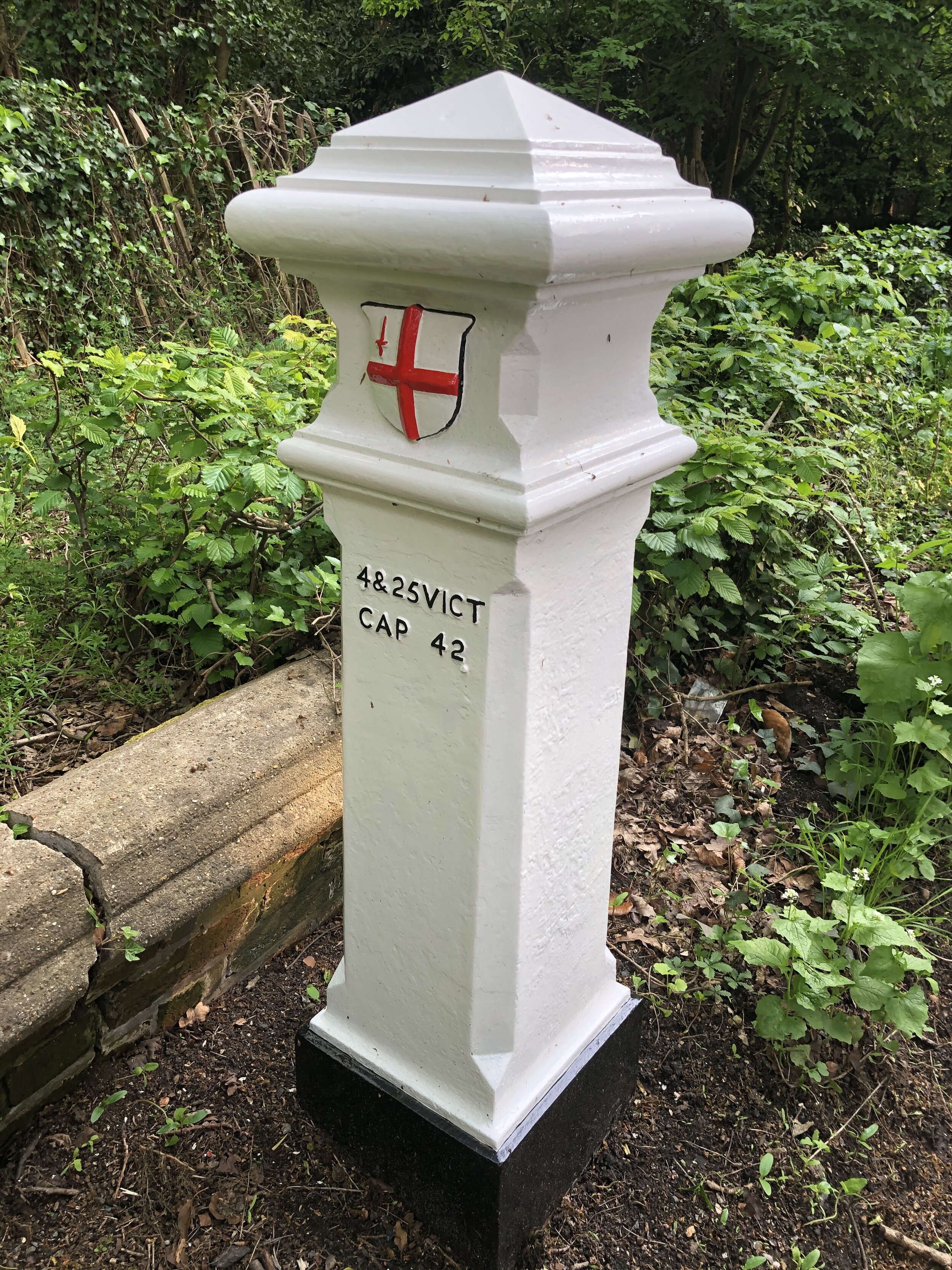
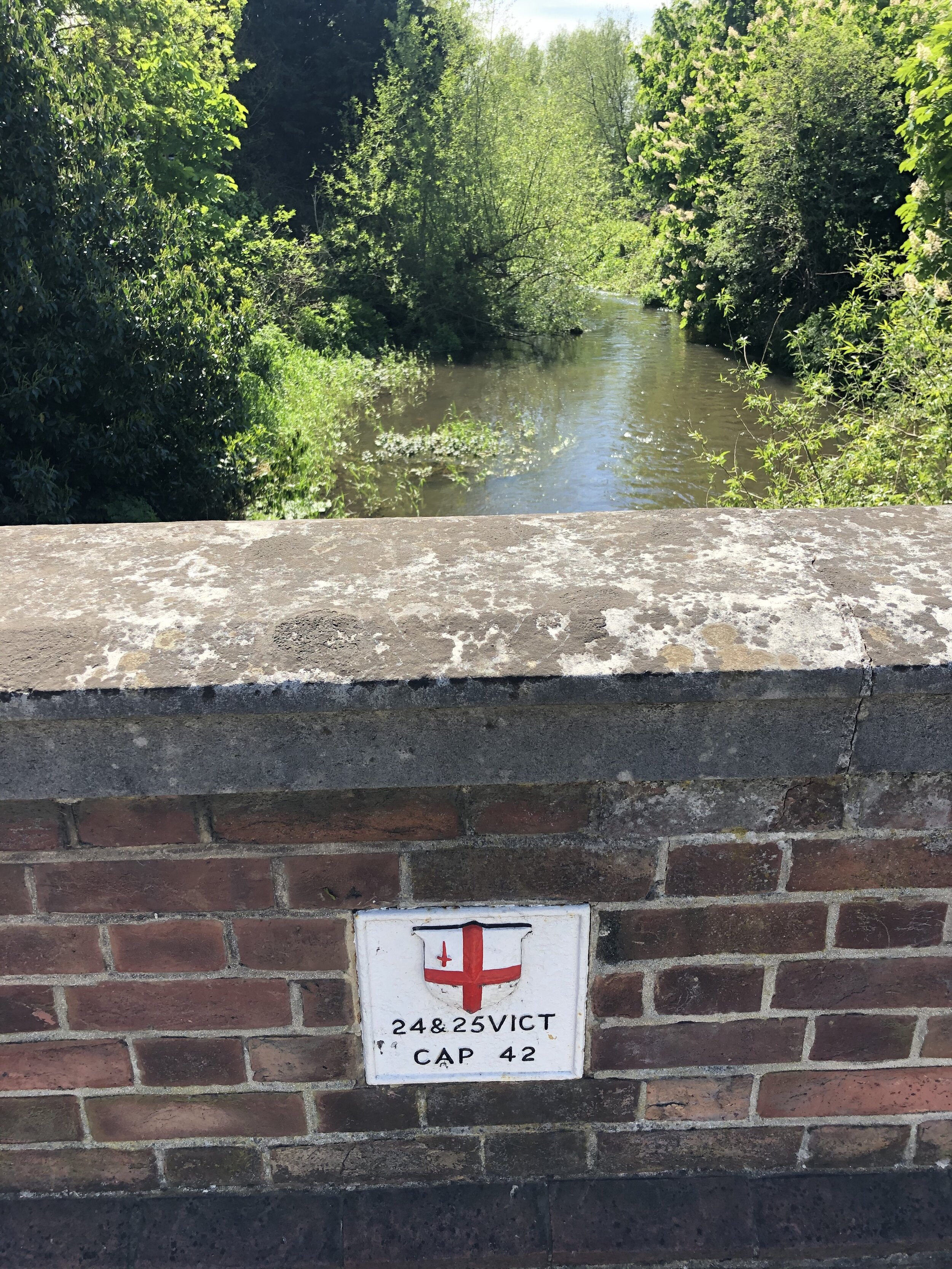
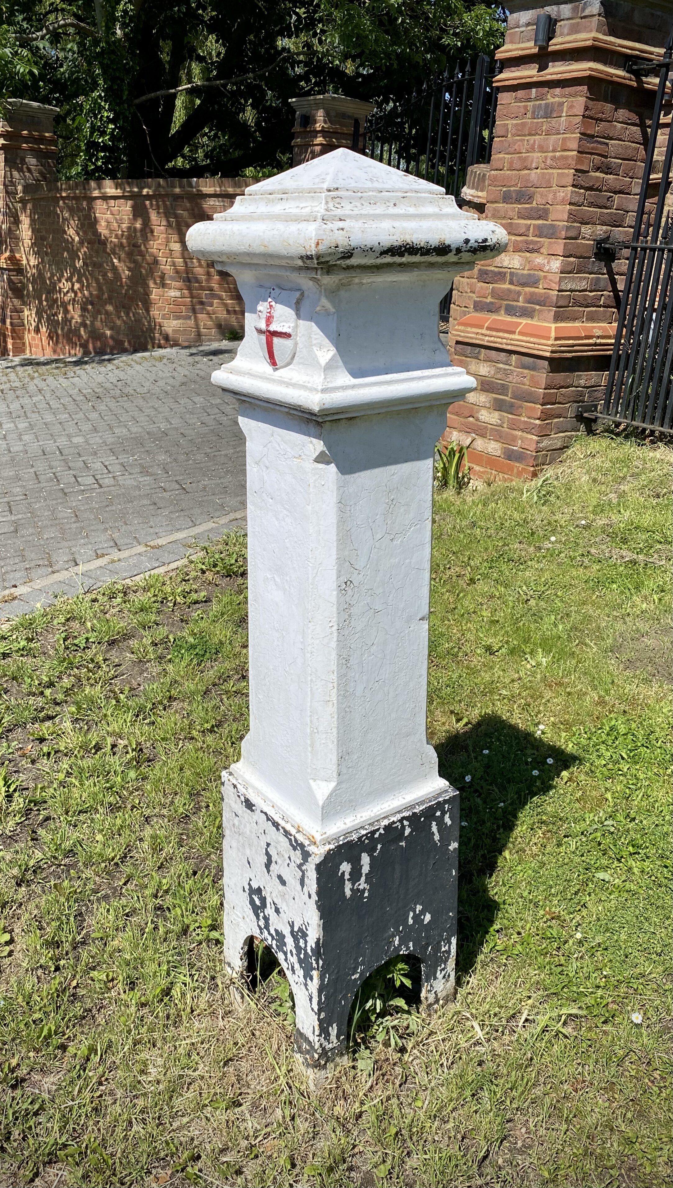
London Coal Duty Posts: 60
Other Pubs / Cafes on route: The Cafe in the Park at Rickmansworth Aquadrome, The Coy Carp at Harefield Lock
Map: OS Explorer Map (172) Chiltern Hills East
Links: Colne Valley Regional Park, Rickmansworth, Uxbridge
If you’re arriving by public transport, Ricksmansworth Station is a short walk to the start of the trail. If you’re driving the Car Park at Rickmansworth Aquadrome is best. For either start option I recommend the Cafe in The Park at the Aquadrome for an amazing coffee and cake combo to get you going.
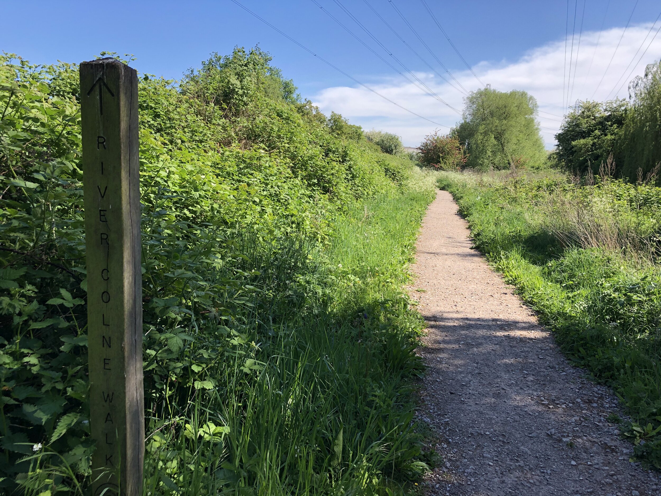
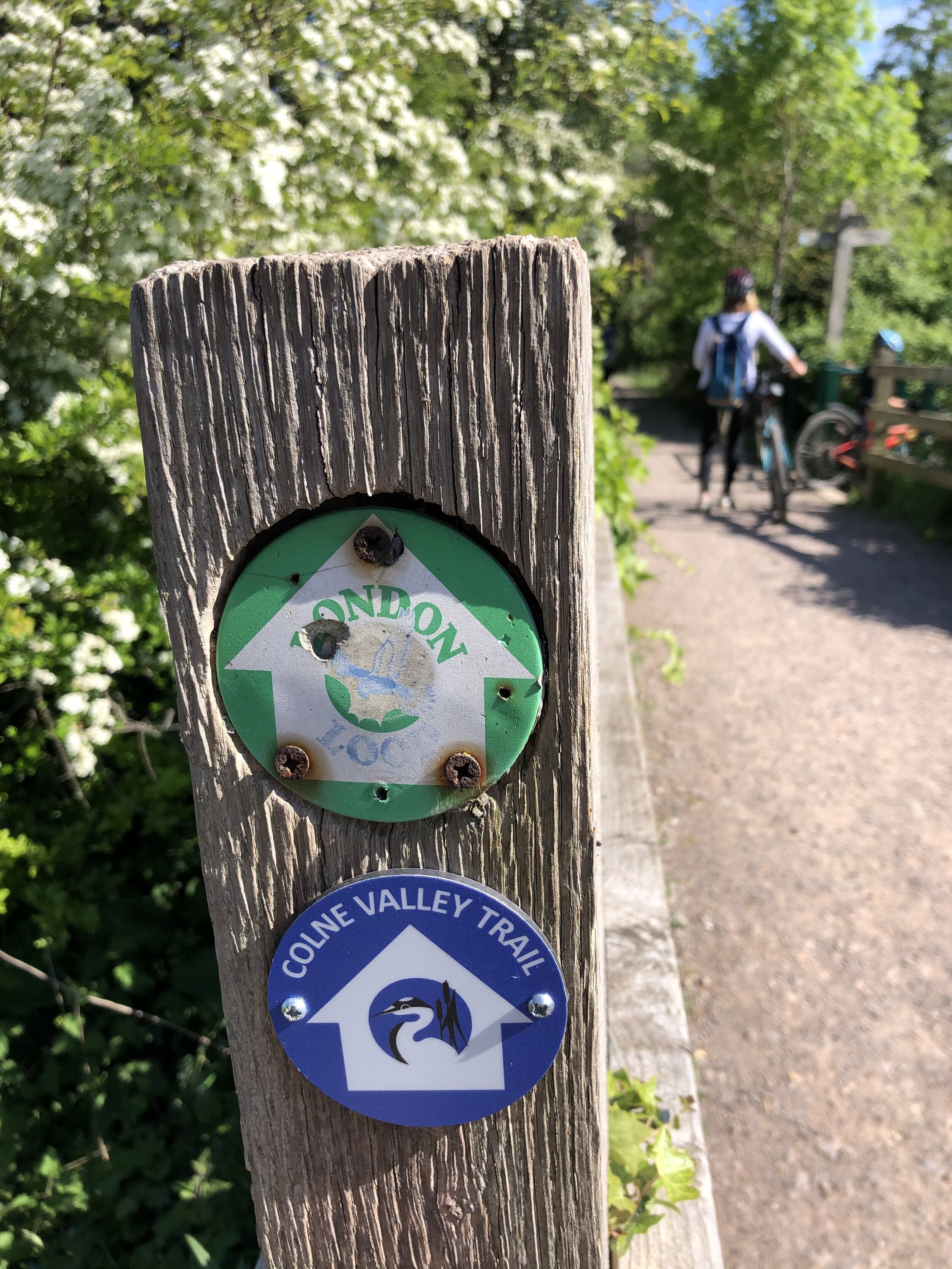
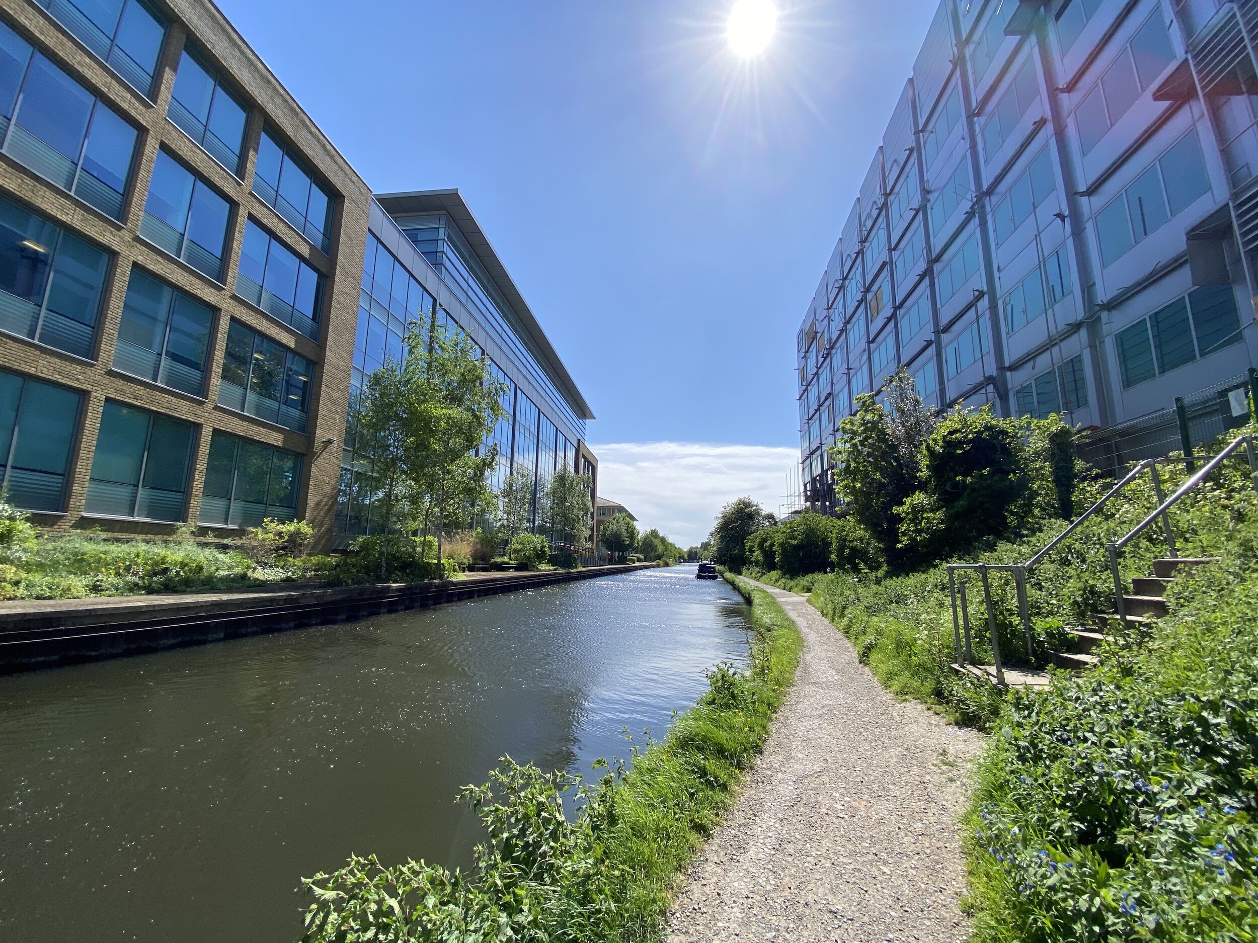
This first section of the walk is very easy to navigate as it pretty much sticks to the towpath of the Grand Union Canal. It’s also very well signposted so the minor diversions off the towpath are unlikely to get you lost.
The end of this section at Uxbridge also offers many parking options and the canal is a short walk from Uxbridge Station. Here you can connect back to Rickmansworth on the Metropolitan Line, changing at Harrow-on-the Hill.
SECTION 2 - UXBRIDGE TO Yiewsley
Start: The Swan and Bottle, Oxford Road, Uxbridge, UB8 1LZ
Finish: Trout Lane, Yiewsley, UB7 7FD
Distance: 6.1 km (3.8 miles)
Elevation change: +17m / -23m. Net -6m
GPX File: get via Buy Me a Coffee
Other routes touched (walk): Grand Union Canal Towpath, Hillingdon Trail, London Loop, Beeches Way, Shakespeare’s Way
Other routes touched (cycle): NCN 6, 61
London Coal Duty Posts: 65, 66
Other Pubs / Cafes on route: The General Eliott, 1 St John's Road, Uxbridge, UB8 2UR
Map: OS Explorer Map (172) Chiltern Hills East
Links: Colne Valley Regional Park, Uxbridge, Yiewsley
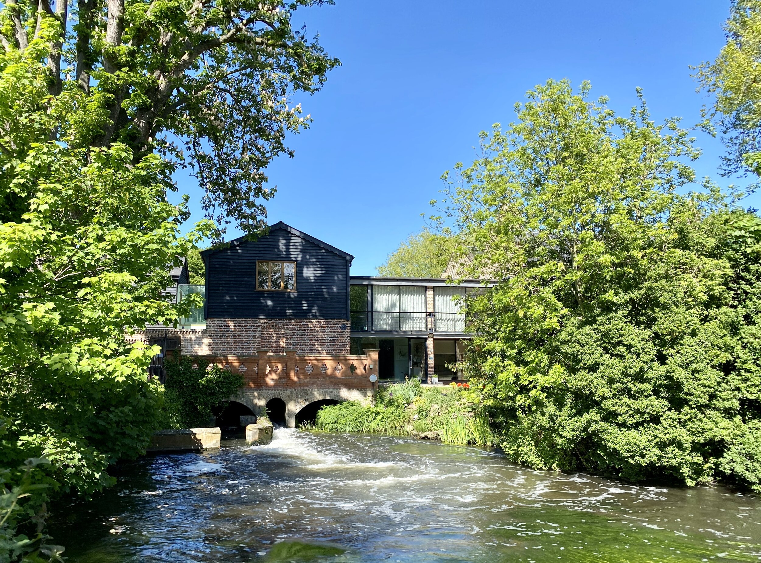
From the Swan and Bottle continue South along the canal towpath for ~1.25 km, looking out for signs diverting off the the right (East). The path will take you through a residential area and an unattractive industrial estate for ~500m. This is a minor inconvenience to get you to a much more pleasant narrow stretch of park running South next to the River Colne. After ~1 km you’ll reach the B470 Iver Lane Take a left onto the road then a right onto Old Mill Lane. Follow this for ~1 km to Little Britain Lake. Old Mill Lane runs parallel to the River Frays with a highlight being the Old Mill building which was once abandoned and is now apartments.
At the end of Old Mill Lane turn right, following Packet Boat Lane to the footpath that follows the River Colne. Take a left at the path junction and follow the River Colne South. After ~500m you’ll cross the Slough Arm of the Grand Union Canal and will join the Beeches Way. Continue for another ~500m watching out for the footpath junction. The Beeches Way continues onwards to Yiewsley but the Colne Valley Trail splits off the the right (South). Given the M4 Old Slade Lane bridge closure further South, this was the end of the trail for us for now. We’ll be back later to continue on to Staines.
SECTION 3 - YIEWSLEY TO STAINES
Start: Trout Lane, Yiewsley, UB7 7FD
Finish: Lammas Recreation Ground, 115 Wraysbury Road, Staines, TW18 4UA
Distance: 15.3 km (9.5 miles)
Elevation change: +44m / -55m. Net -11m
GPX File: get via Buy Me a Coffee
Other routes touched (walk): None
Other routes touched (cycle): None
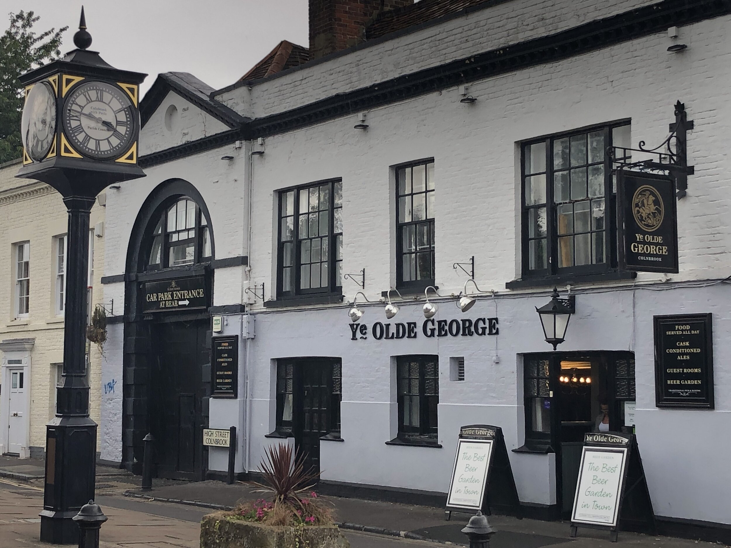
Pubs / Cafes on route: Ye Olde George or The Ostrich in Colnbrook High Street
Map: OS Explorer Map (172) Chiltern Hills East and OS Explorer Map (160) Windsor, Weybridge & Bracknell
Links: Colne Valley Regional Park, Yiewsley, Colnbrook, Stanwell Moor, Staines Moor, Staines-upon-Thames
We were hoping to return to the Trail later in 2020, but the M4 Old Slade Lane bridge didn’t re-open until July 2021. As soon as we got confirmation that there was pedestrian access across it we headed back to Yiewsley. There’s good parking and public transport options in Yiewsley, all about 1 km from re-joining the Trail at Trout Lane.
This section has quite a different feel from the Grand-Union based sections 1 and 2. From Trout Lane you soon cross under the GWR mainline and into Thorney Park. Here you’ll find one of 3 motorway crossings as the Trail navigates around the unloved western end of Heathrow airport. After crossing the A4 you’ll reach Colnbrook, an old village that’s still pleasant in parts but stranded in an island surrounded by the motorways and airport. This is a good place for a drink and a rest or as an end point if you want to split this longer section in 2.
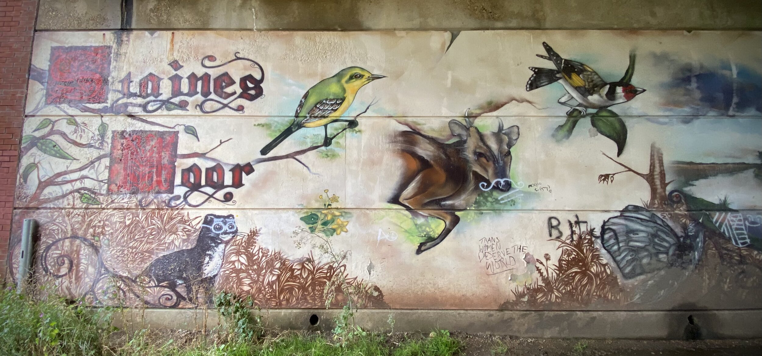
Leaving Colnbrook, you’re now following Colne Valley Way sign rather than the Colne Valley Trail. From Horton the route leaves the Colne Brook stream, heading east past the top end of the Wraysbury Reservoir and over the M25. Here you’ll join the River Colne, following its route through Stanwell Moor, Staines Moor and the western edge of Staines. Be careful after the M25 crossing as the Colne Valley Way signs disappear and you’ll need to rely on a map or GPX route.
The route ends at the Thames near the café at the Llamas recreation ground. From here it’s a 0.5 km walk along the river to Staines Town Centre.
Next sections of the London Loop:
Clockwise: Hill End to the Grand Union via the Hillingdon Trail then South Oxhey to Hill End
Anti-clockwise: Grand Union Canal from Yiewsley to The Hillingdon Trail at Parkway
When: August 1st 2021 (when I did it, but it’s on every Sunday)
Where: Wades Park, 50 Stratton Road, Princes Risborough, HP27 9AX
Course: 5 or 6 laps of Wades Park depending on what else is happening in the park
More Info: Risborough Run In The Park
Other routes touched (walk): None, but the Outer Aylesbury Ring runs along the north-east edge of the park
Other routes touched (cycle): None, but NCN 57 runs past the entrance to the park
Finish time: 24:31
When: July 28th 2021
Where: Shalford Park, Guildford, GU4 8AA
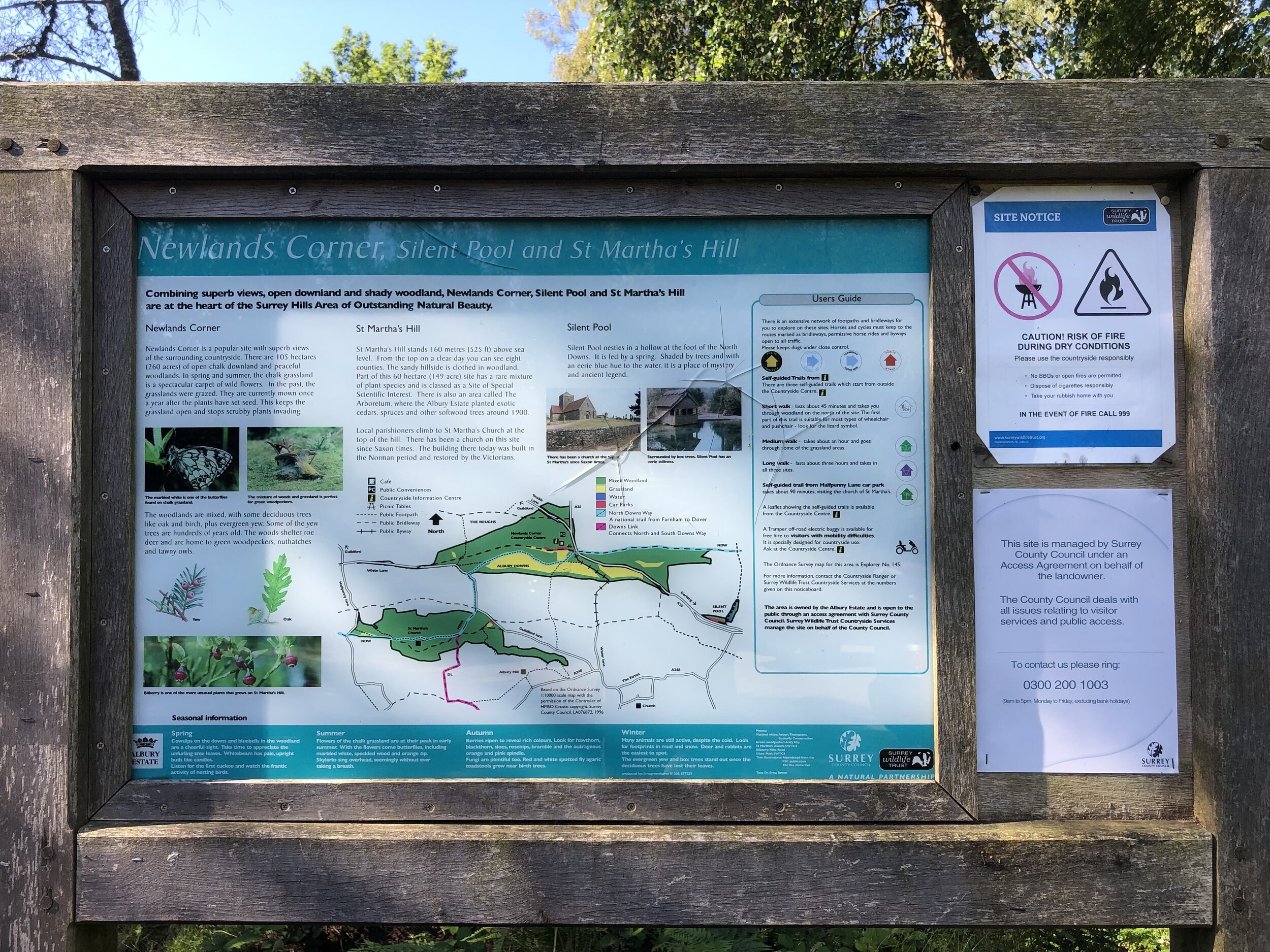
Course: Hilly twisted loop course from Chantry Wood to Newlands Corner via St Martha’s Hill. 5k and 15k routes run concurrently.
Other routes touched (walk): North Downs Way, Tillingbourne at Work SCC, Scholar’s Trail
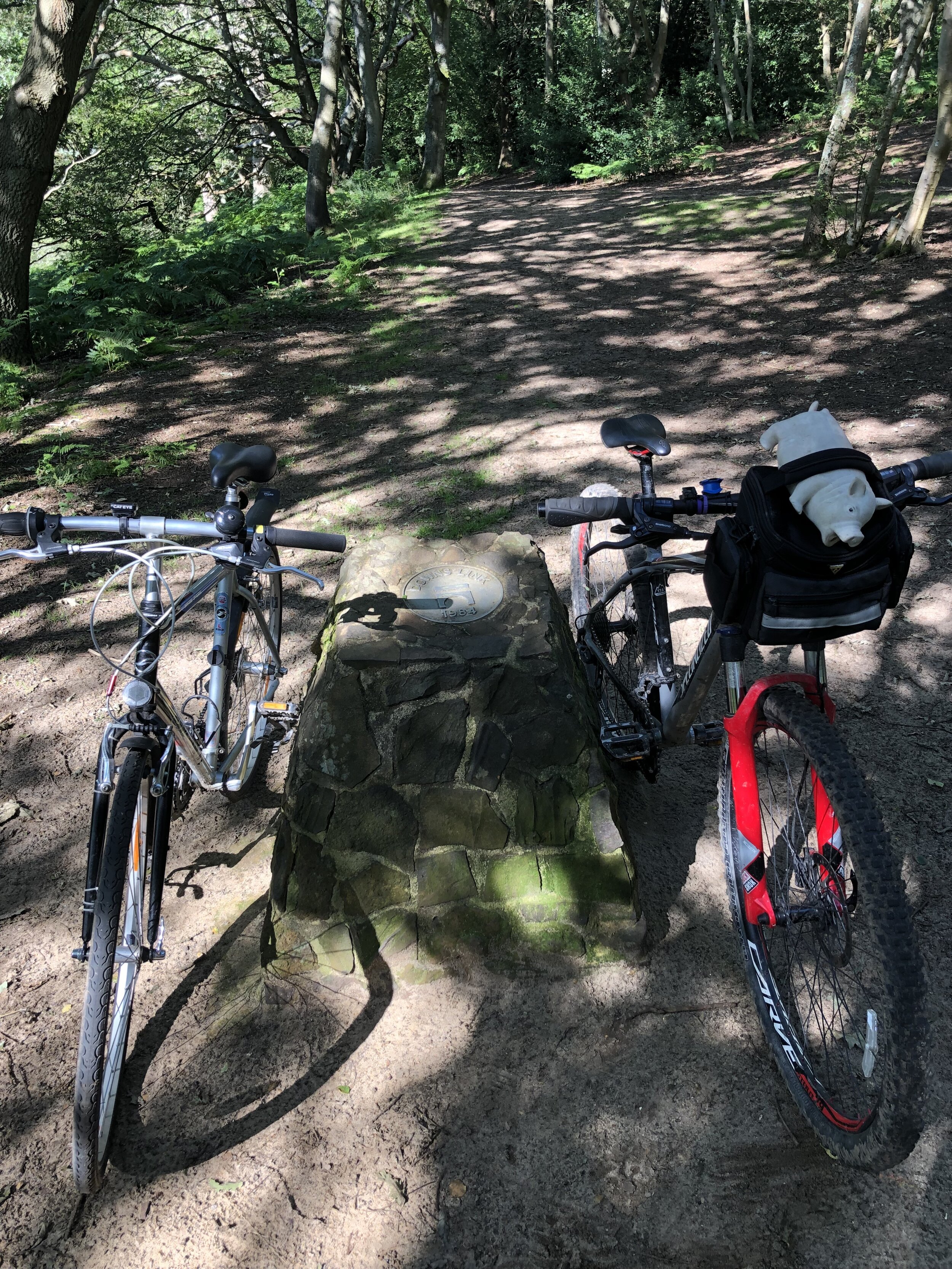
Other routes touched (cycle): Downs Link
Other routes touched (run): Downs Link Ultra
Finish time: 66:35
Photos with ATT logo by Epic Action Imagery (www.epicactionimagery.com). All other photos by Richard Gower and Mark Brace.
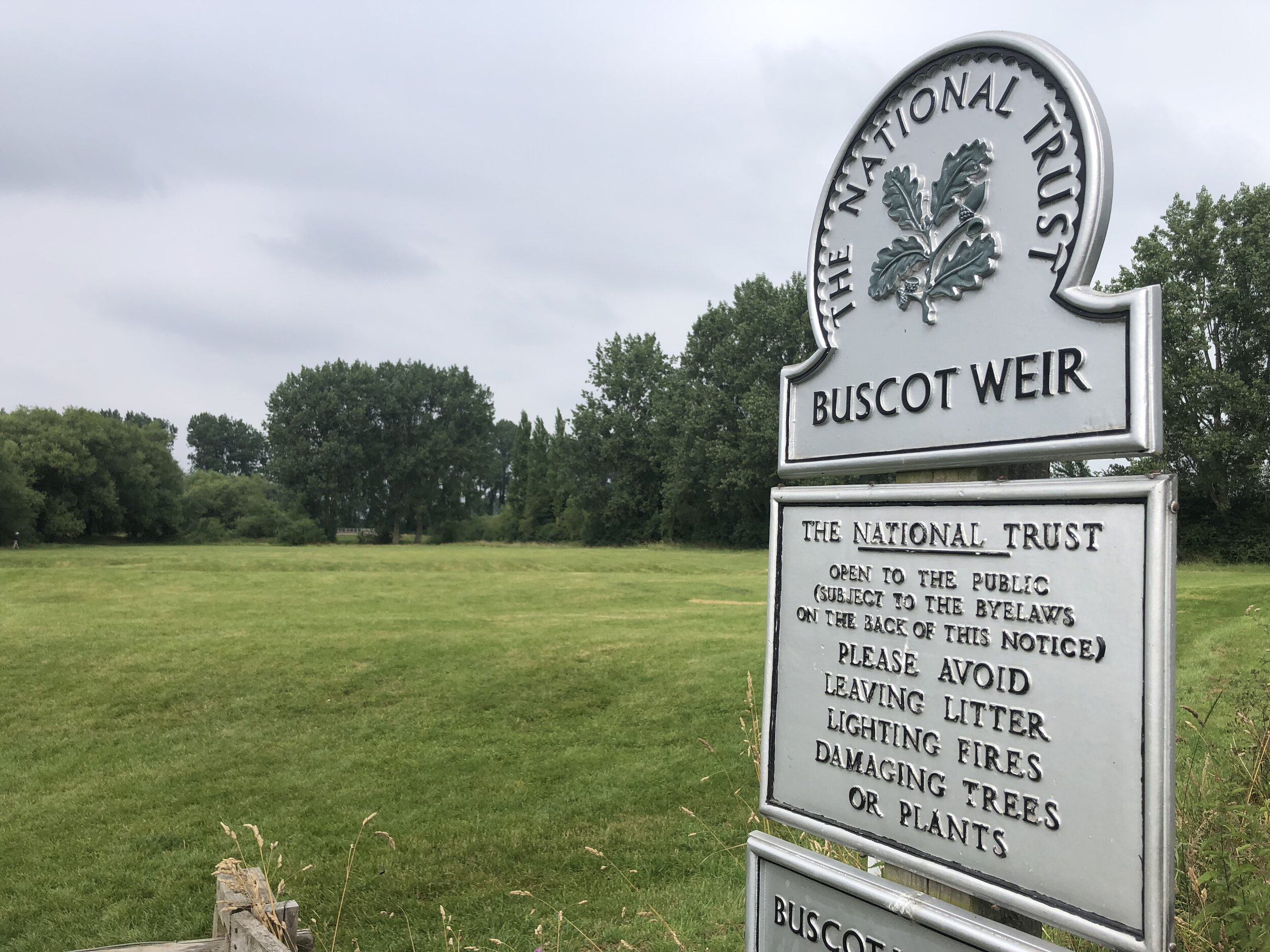
Buscot Weir
Start & Finish: Buscot National Trust Car Park, Buscot, Faringdon, SN7 8BY
Distance: 5.8 km (3.6 miles)
Elevation change: +/- 23m
GPX File: get via Buy Me a Coffee
Other routes touched (walk): Thames Path
Other routes touched (cycle): None
Pubs / Cafes on route: Buscot National Trust Tea Room
Map: OS Explorer Map (169) Cirencester and Swindon, Fairford and Cricklade
Links: National Trust Buscot and Coleshill Estates, Buscot
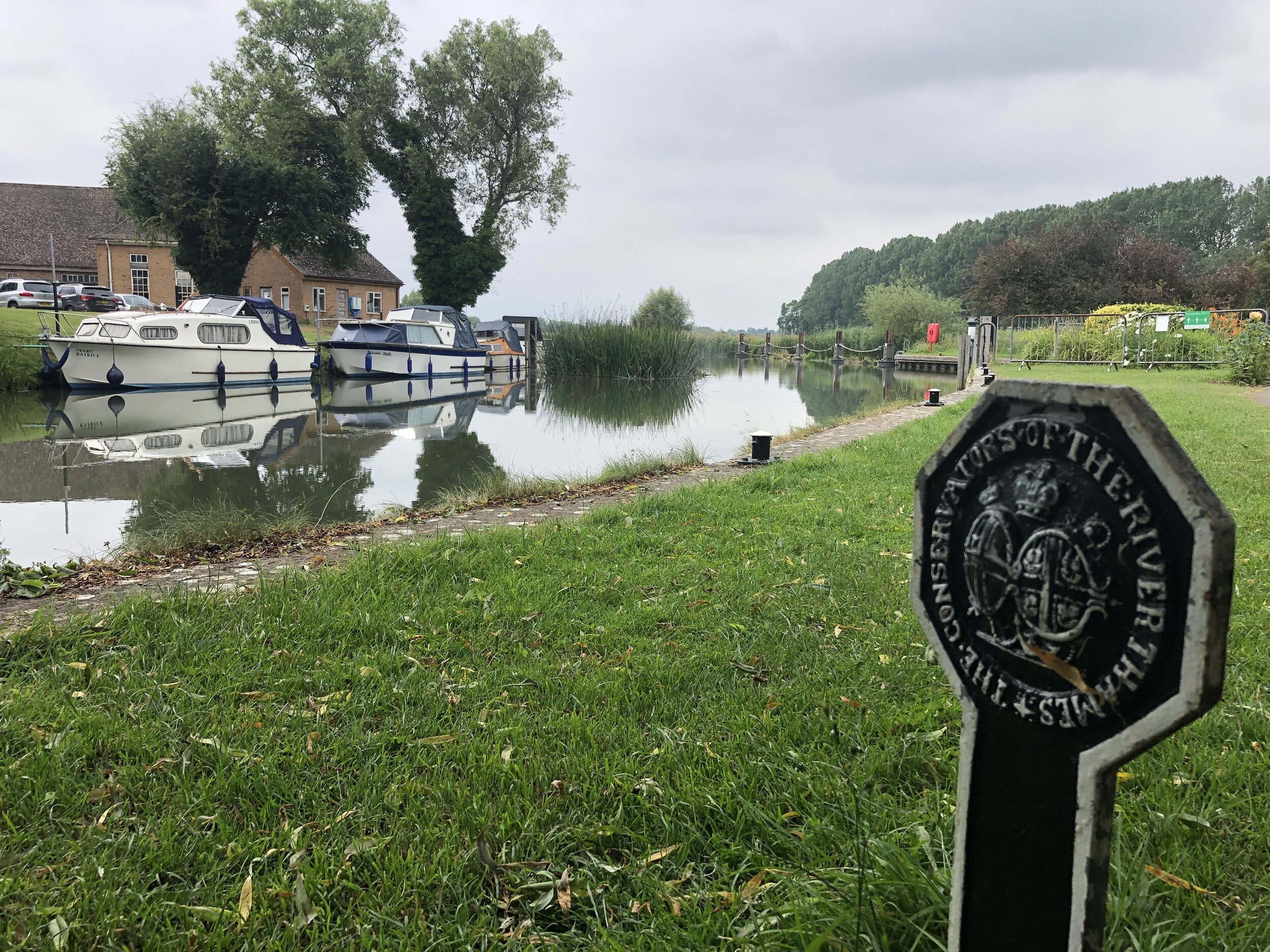
This is a pleasant, easy to navigate walk on National Trust land near Lechlade.
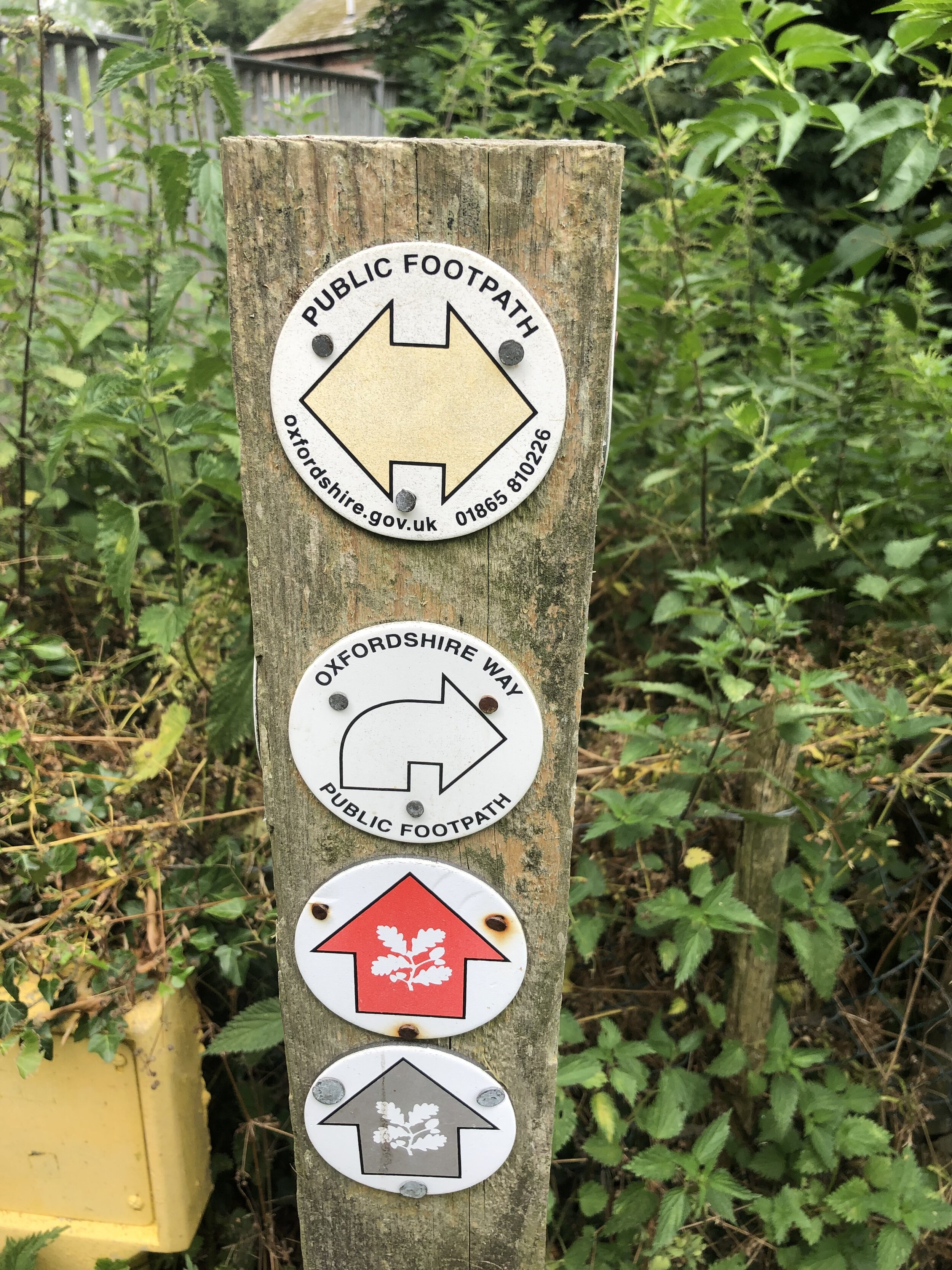
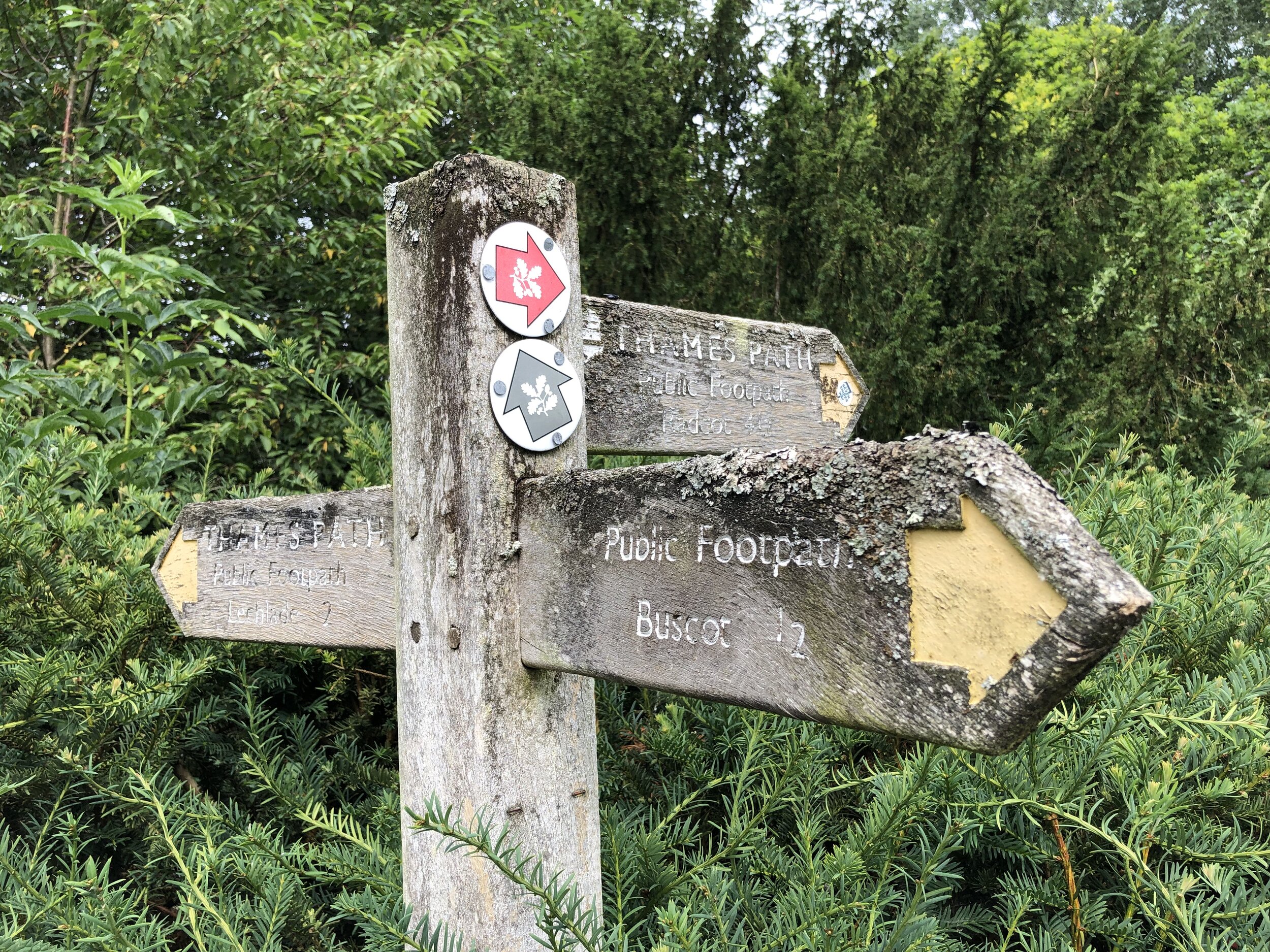
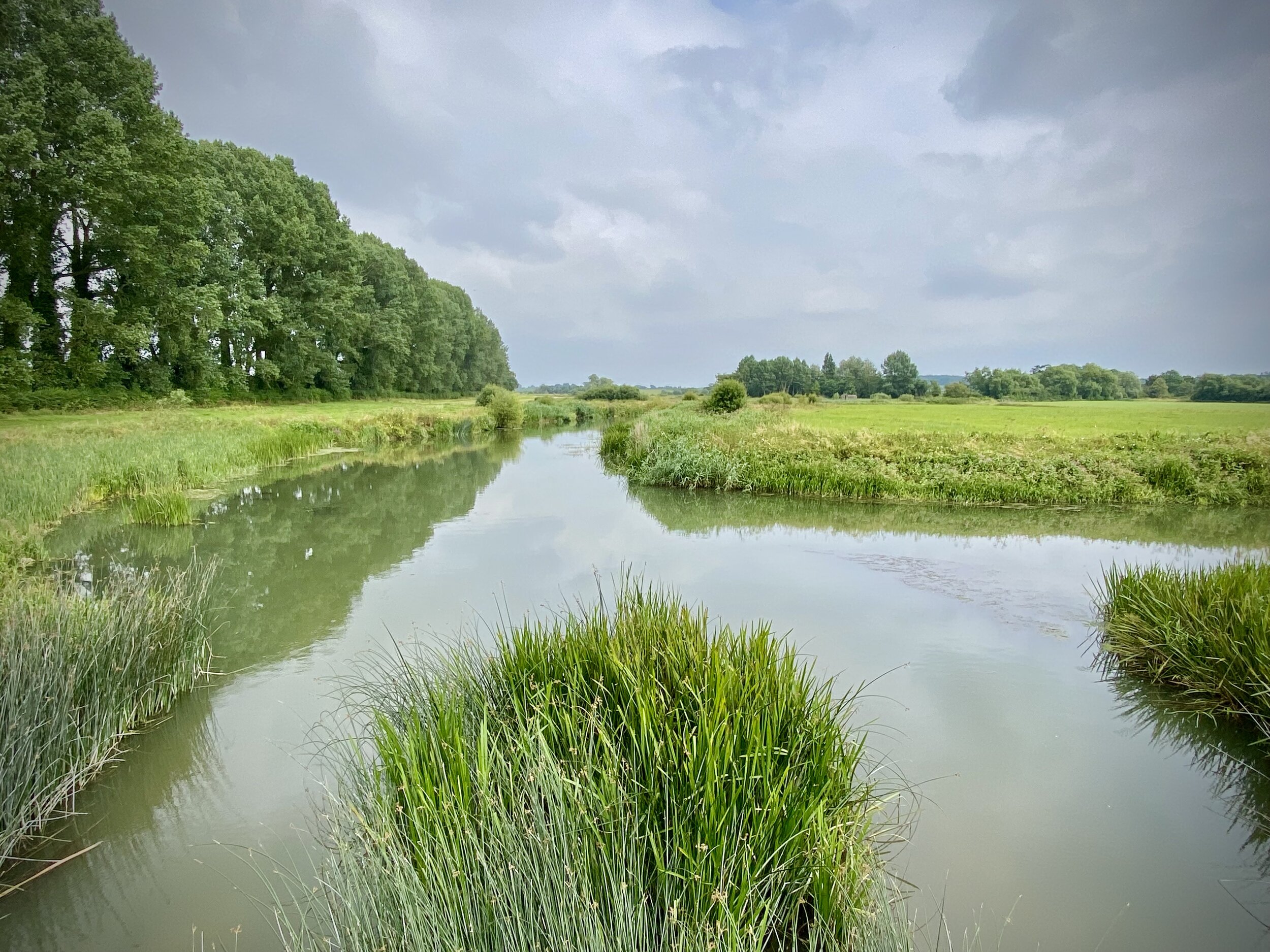
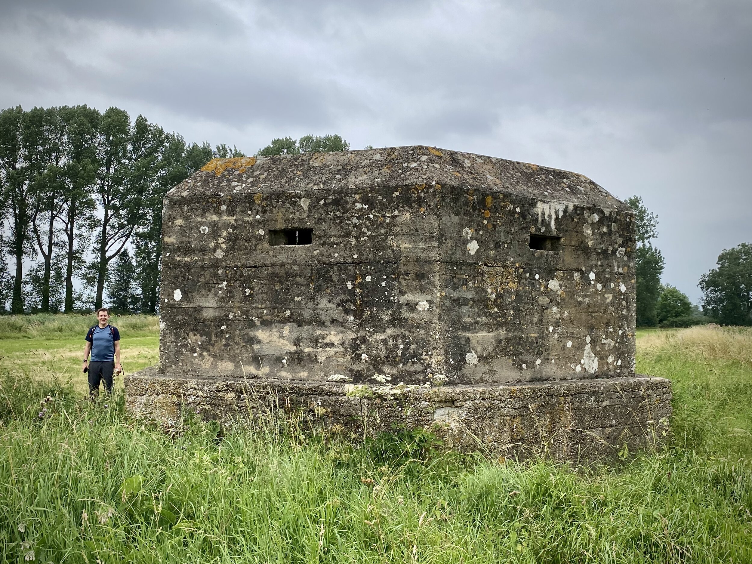
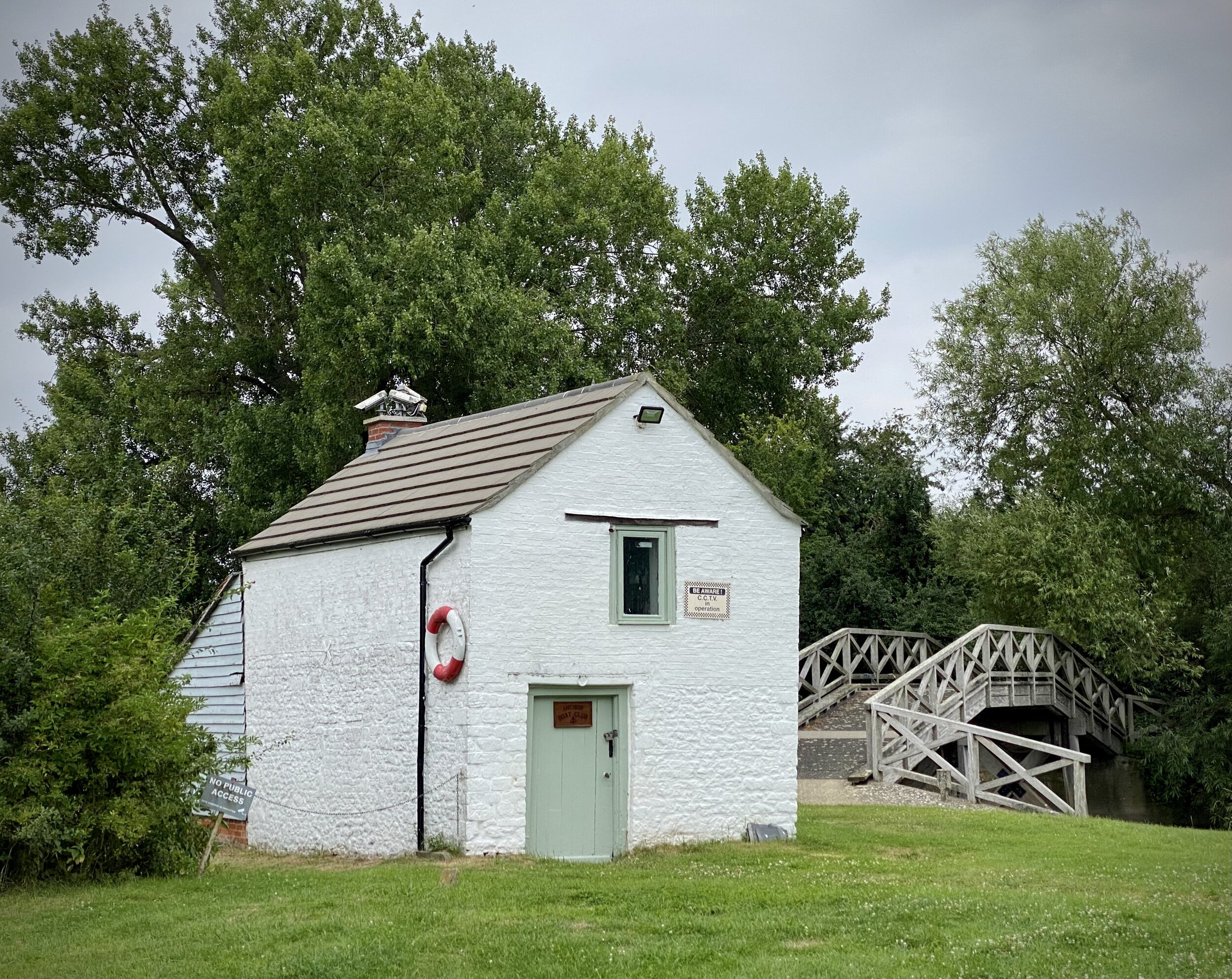
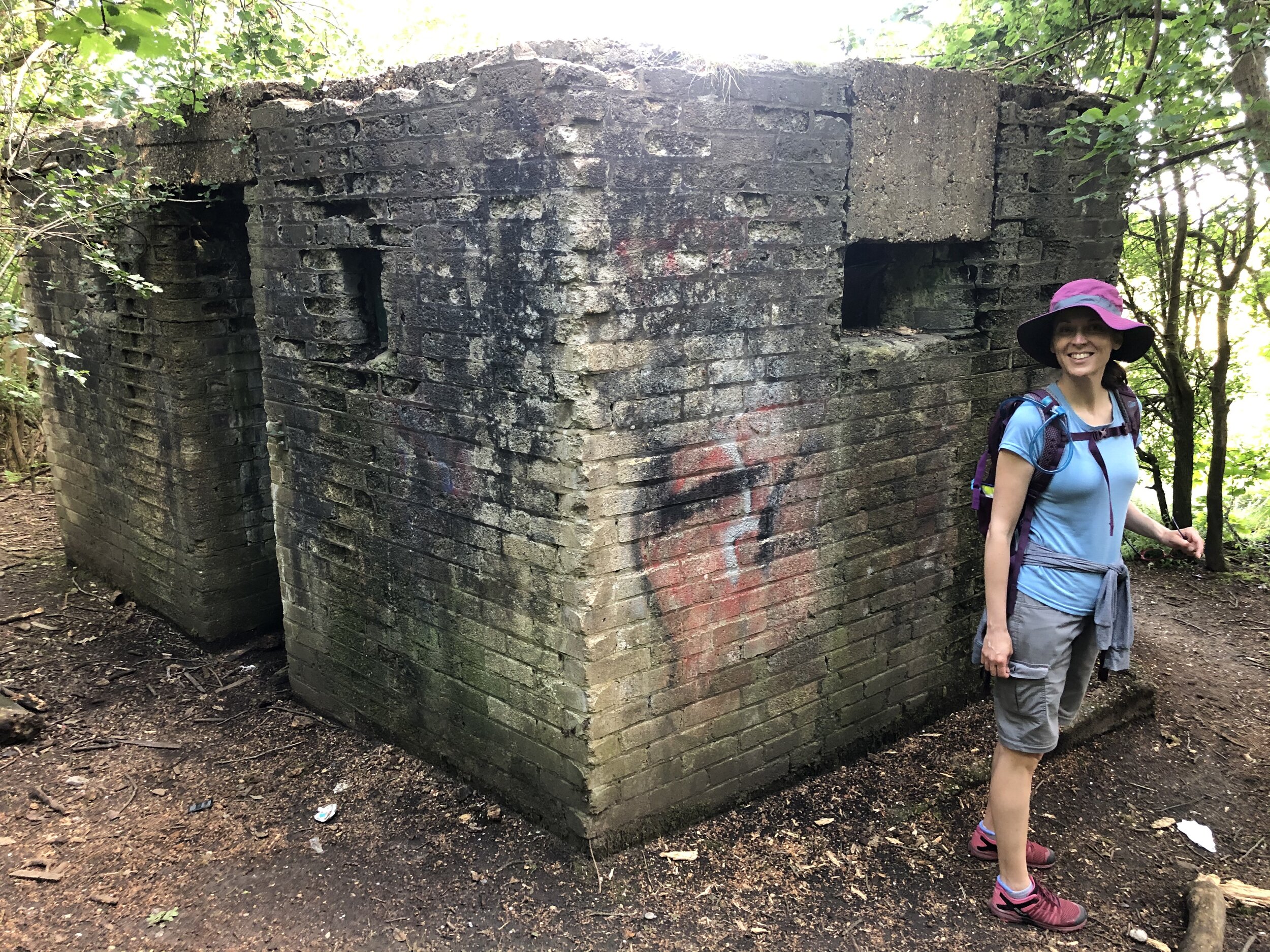
Start at the NT Cark Park (free to members) and walk north to the weir. Cross over the weir to the north side of the Thames and follow the Thames Path east until you reach the next footbridge. Look out for the two WW2 Pill Boxes along the path. On the south side of the Thames you’ll pass a small white building that was once an Inn and now a boat club. From here follow the red NT roundels on paths through fields in a south/south-westerly direction back to the weir. Retrace your steps to the car park.
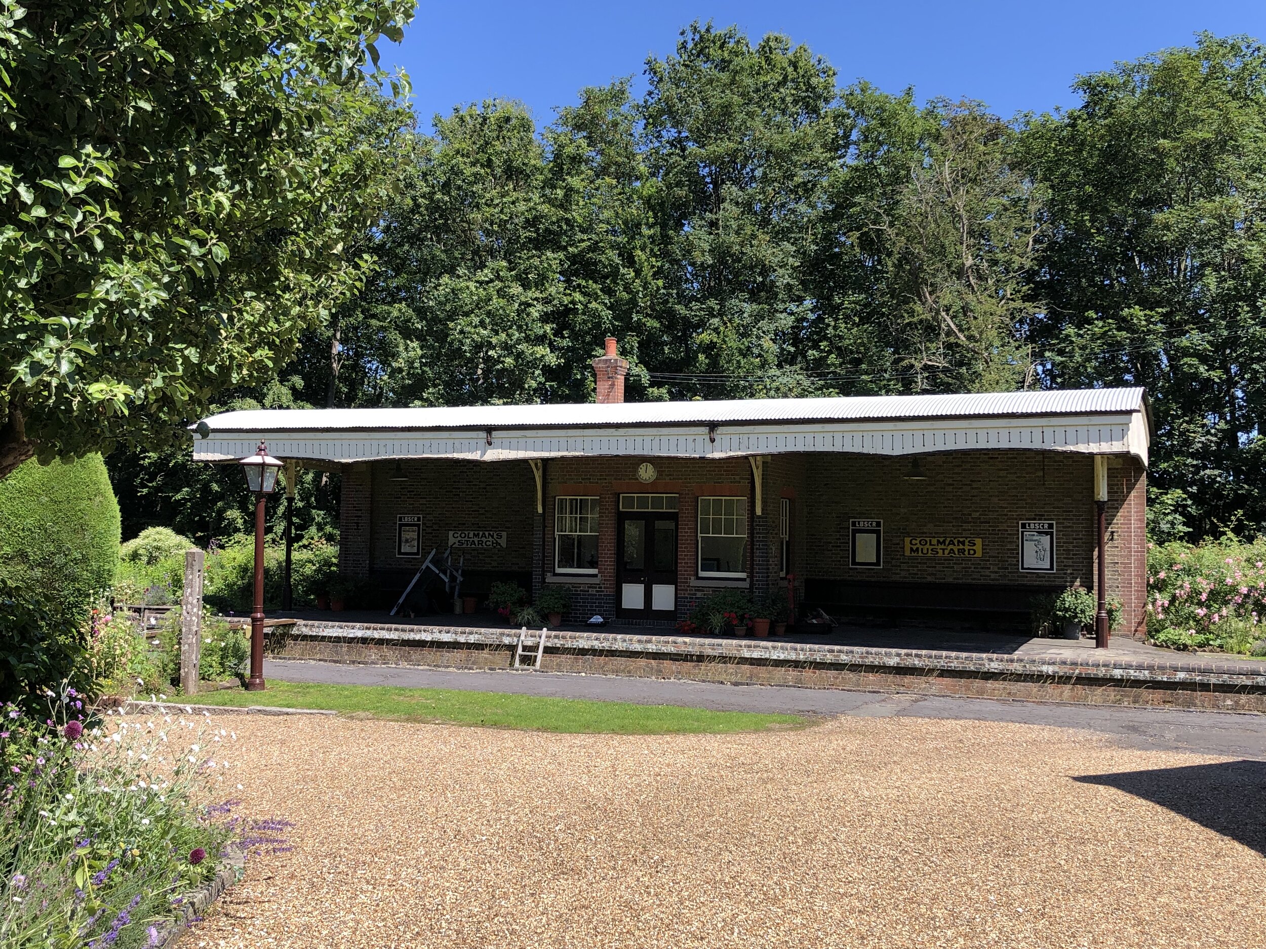
Old carriage at West Grinstead Station
Start: St. Martha’s Hill Guildford Lane Car Park, Guildford Lane, Albury, Guildford, GU5 9BQ
Finish: Shoreham-by-Sea Station, Station Approach, Shoreham-by-Sea, BN43 5WX
Distance: 61 km (38 miles)
Elevation change: +344m / -457m (Net -113m)
GPX File: get via Buy Me a Coffee
Other routes touched (walk): North Downs Way, Tillingbourne At Work (SCC), Wey South Path, The Fox Way, Greensand Way, Sussex Border Path, West Sussex Literary Trail, South Downs Way
Other routes touched (cycle): NCN 22, 223
Other routes touched (run): Downs Link Ultra
Pubs / Cafes on route: Wild & Green Kitchen (Cranleigh), The Little Teahouse (Southwater), The Old Railway (Henfield) …and others
Maps:
- OS Explorer Map (145) Guildford and Farnham
- OS Explorer OL34 Crawley & Horsham
- OS Explorer OL11 Brighton and Hove
Links: Downs Link (Wikipedia), The Cranleigh Line, The Steyning Line, St Martha’s Hill, Surrey Hills AONB, Wey and Arun Canal, South Downs National Park
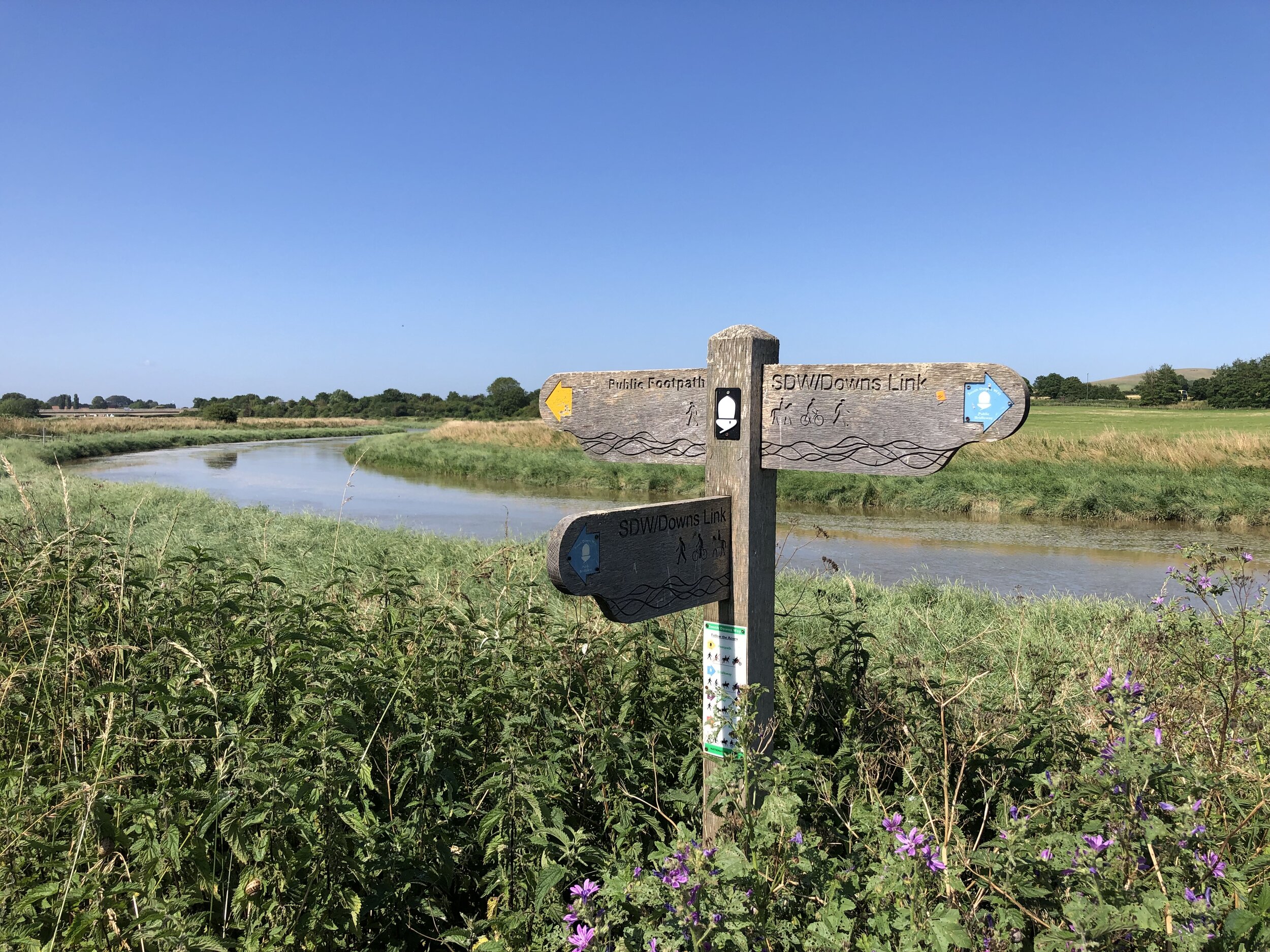
The Downs Link is a ~59k trail linking the North Downs Way at St. Martha’s Hill and the South Downs Way near Shoreham-by-Sea. Having recently completed the similarly sounding Thames Down Link, this was an obvious next trip. The first 6k is a hilly route through countryside around Blackheath and Chilworth. Once it connects to the Wey and Arun Canal it follows the route of the disused Cranleigh and Steyning Lines.
There’s no practical public transport connection between the start and the end (maybe they should build a train line to connect them?) … so we did a 2-car shuffle. Our total route was a bit longer than the actual Downs Link as we started from the Guildford Lane Car Park and finished at Shoreham-by-Sea station.
Navigation is very easy, especially once you’re on the old rail line. There were a couple of path junctions on the first 6k that we may have missed if we’d not had a GPX route to guide us.
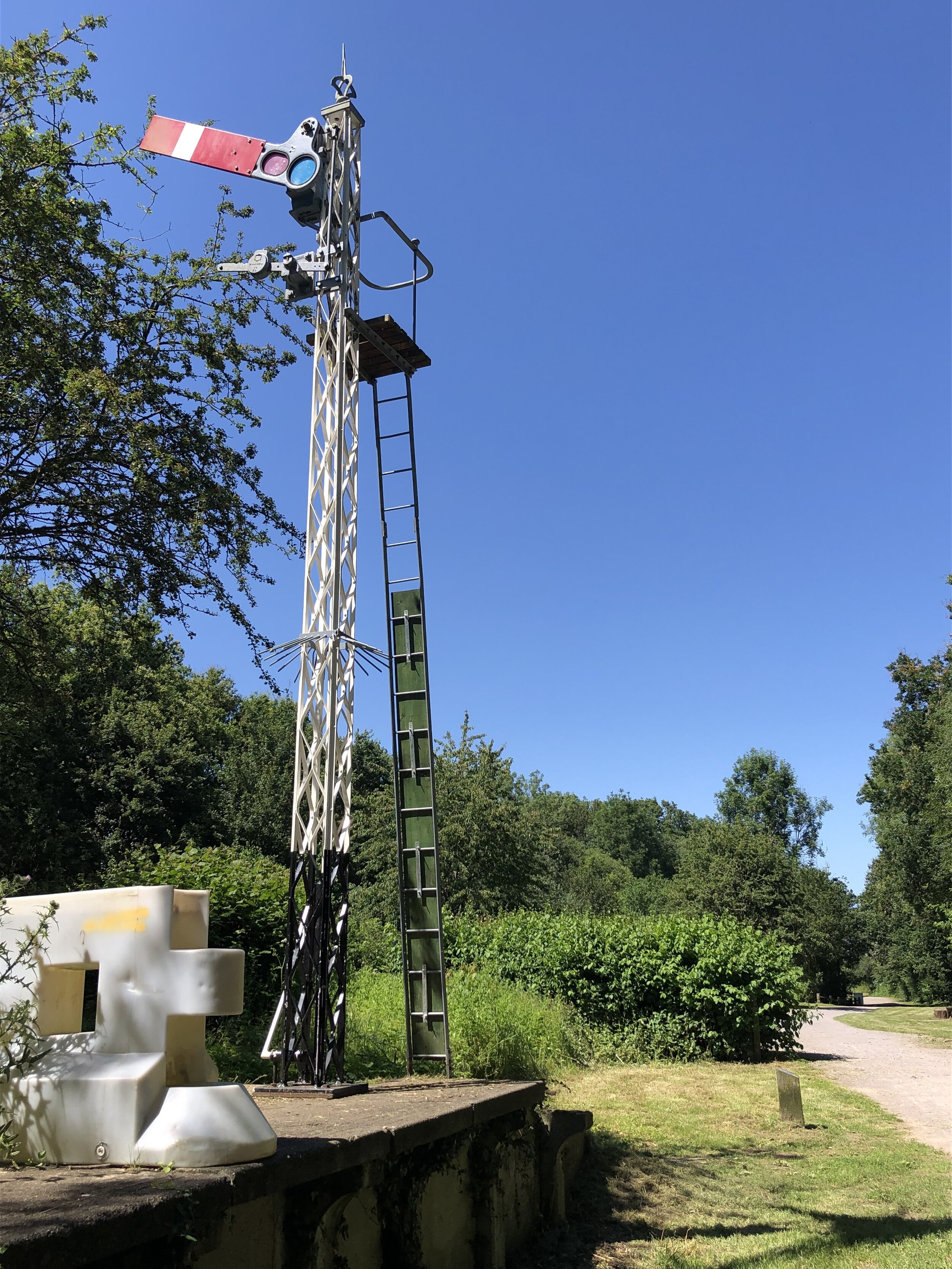
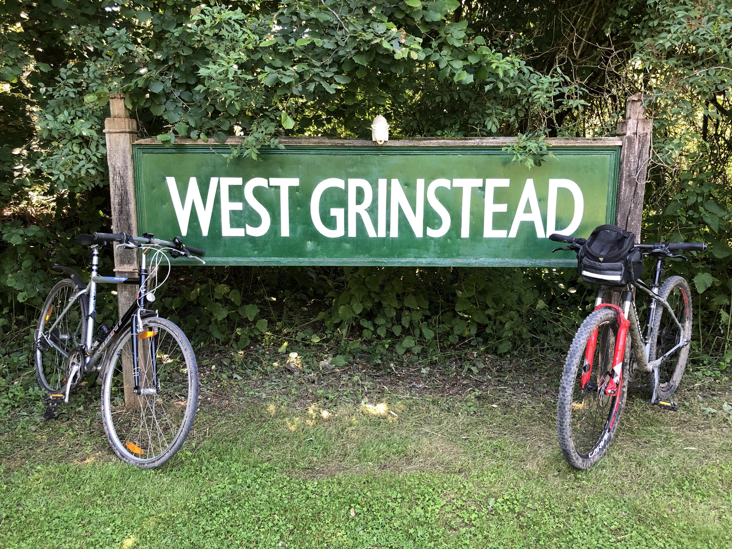
There’s remains of the former stations along the route, some better preserved than others. West Grinstead is a particular highlight as there’s a British Rail Mark 1 coach on site, now used as an information centre. Others, like Partridge Green and Bramber have been completely demolished with no remaining evidence.
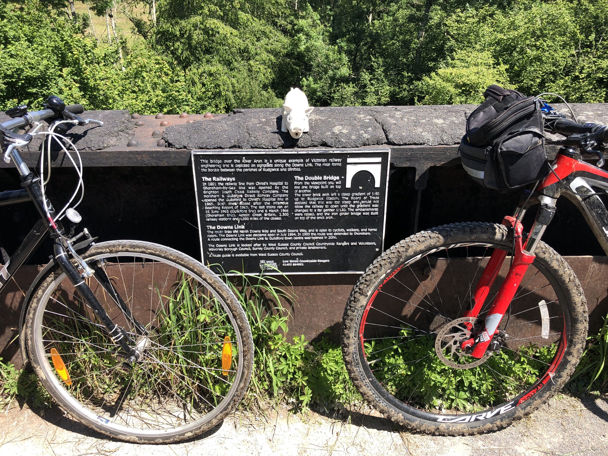
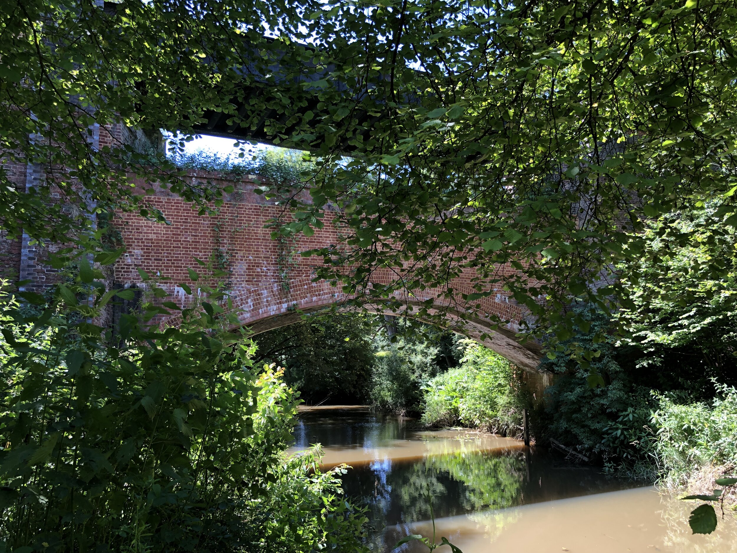
Don’t miss stopping at Rudgwick Bridge over the River Arun. The previous gradient up to Rudgwick Station was too steep for trains so the embankments were raised and an iron bridge was built on top of the brick arch. There’s a viewpoint just off the path where you can see the two layers. The logo on the Down Link signs along the route are based on this bridge.
If you’re an OS Trig Pillar bagger, you can find TP1686 - Broomhall Copse 5 minutes off the path at the intersection with the Sussex Border path.
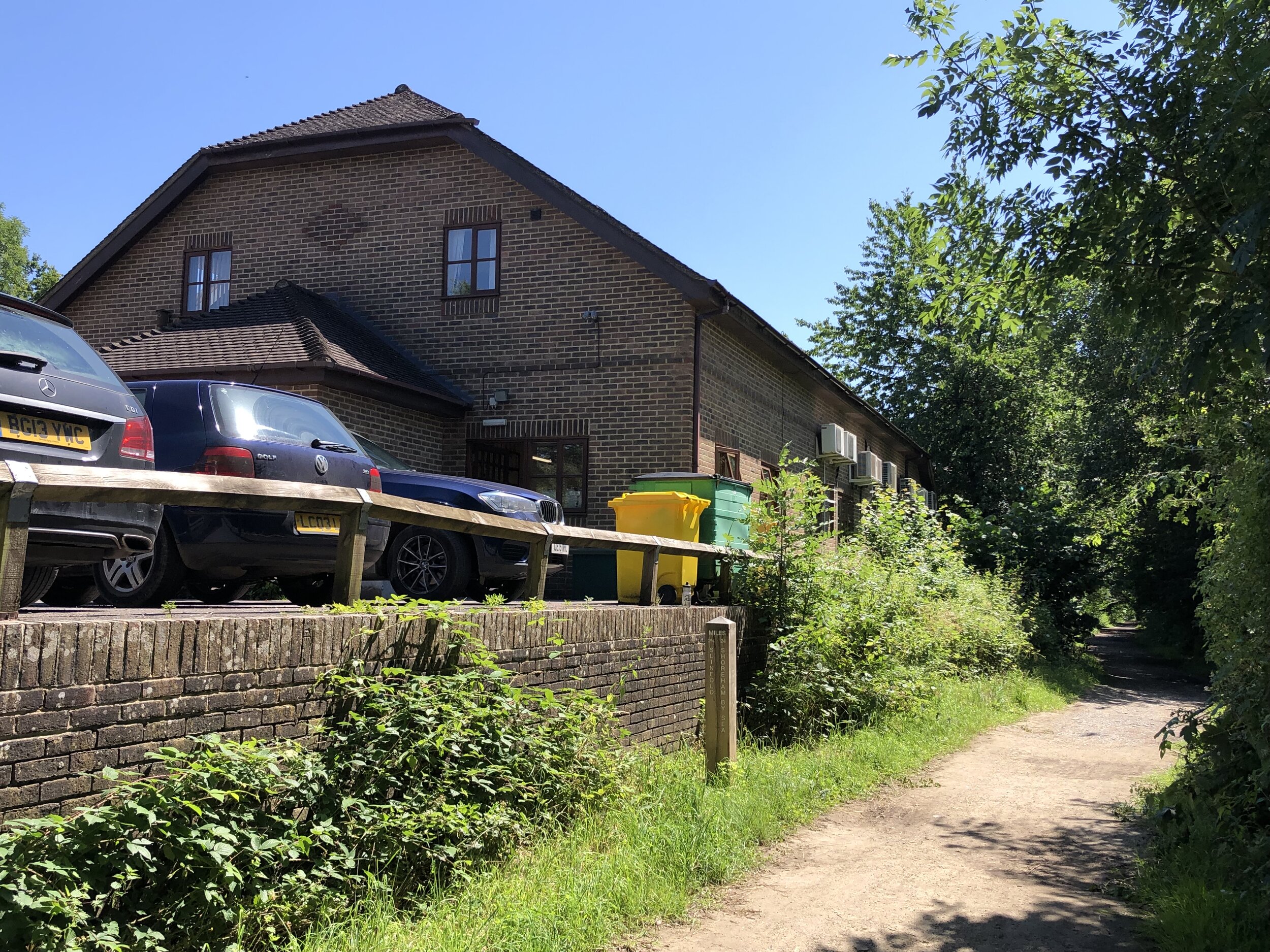
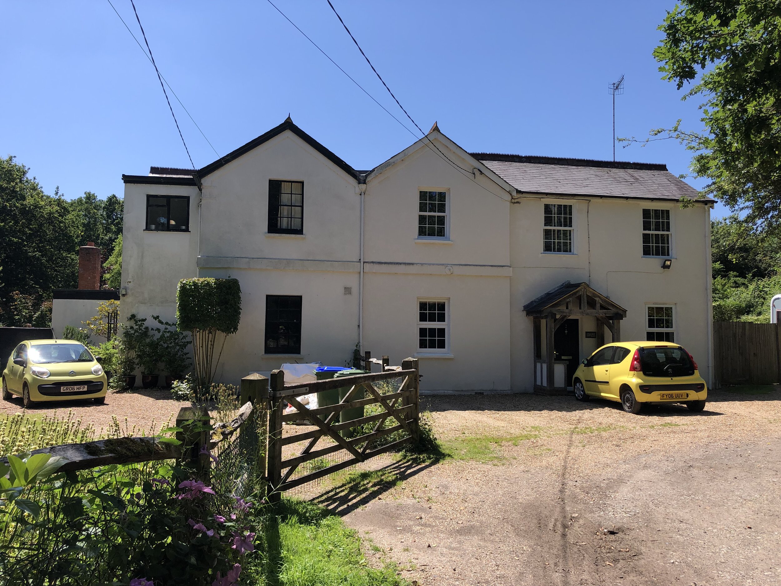
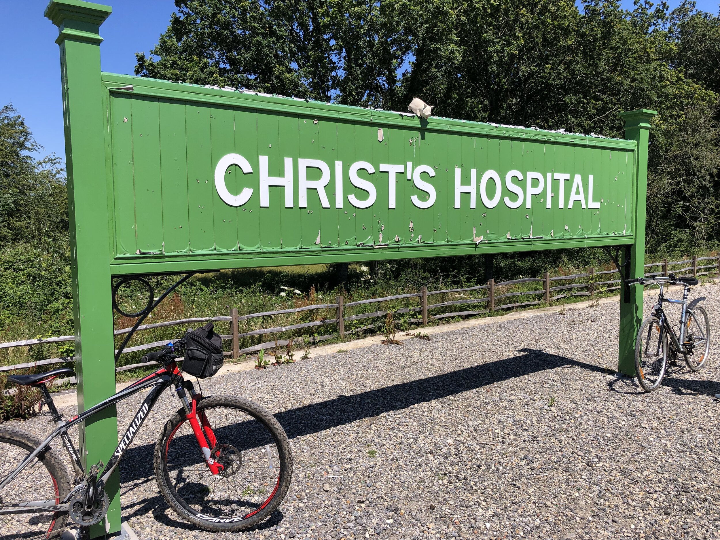
Downs Link Disused Stations
Pictures above: top row, left to right:
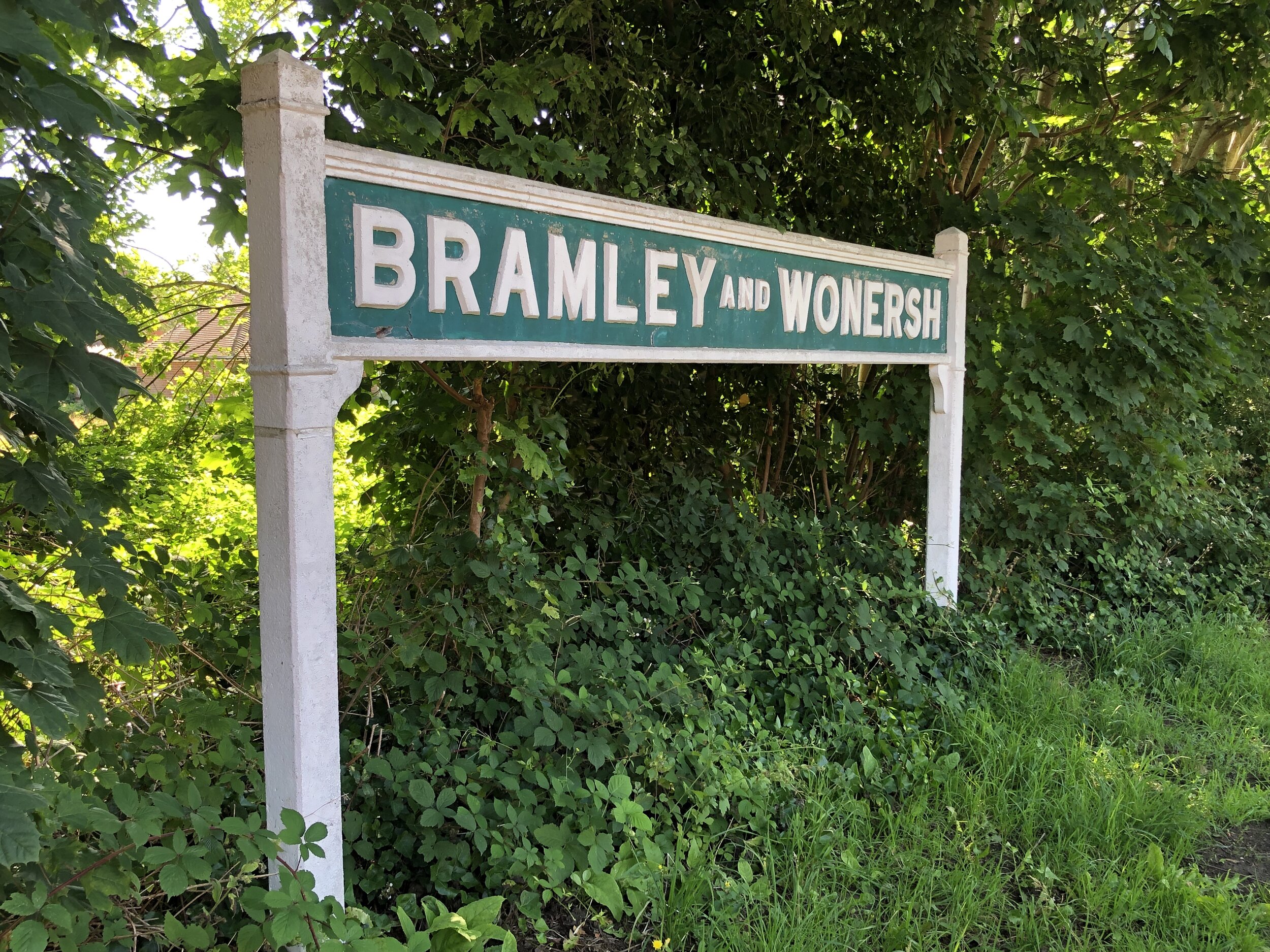
Bramley and Womersh: Disused Stations / Wikipedia. Platform and shelter still there.
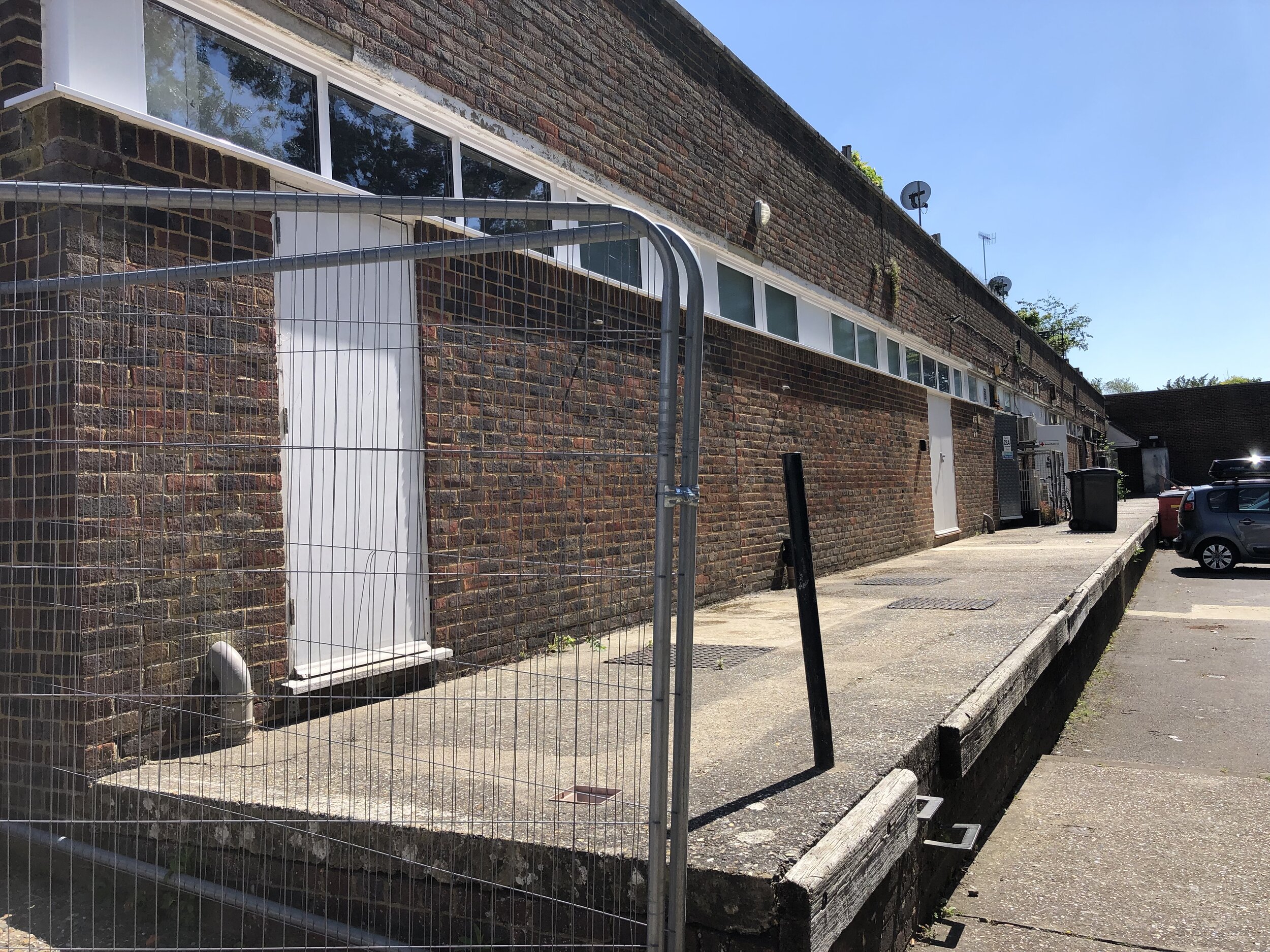
Cranleigh: Disused Stations / Wikipedia. Station’s old platform levels still exist behind shops. Everything else has gone.
Baynards: Disused Stations / Wikipedia. Station has been restored but now in private hands.
Rudgwick: Disused Stations / Wikipedia. Rudgwick Medical Centre has been built on the site of the station's main building.
Slinfold: Disused Stations / Wikipedia. Station demolished & replaced by caravan park. Photo shows Railway Cottages opposite.
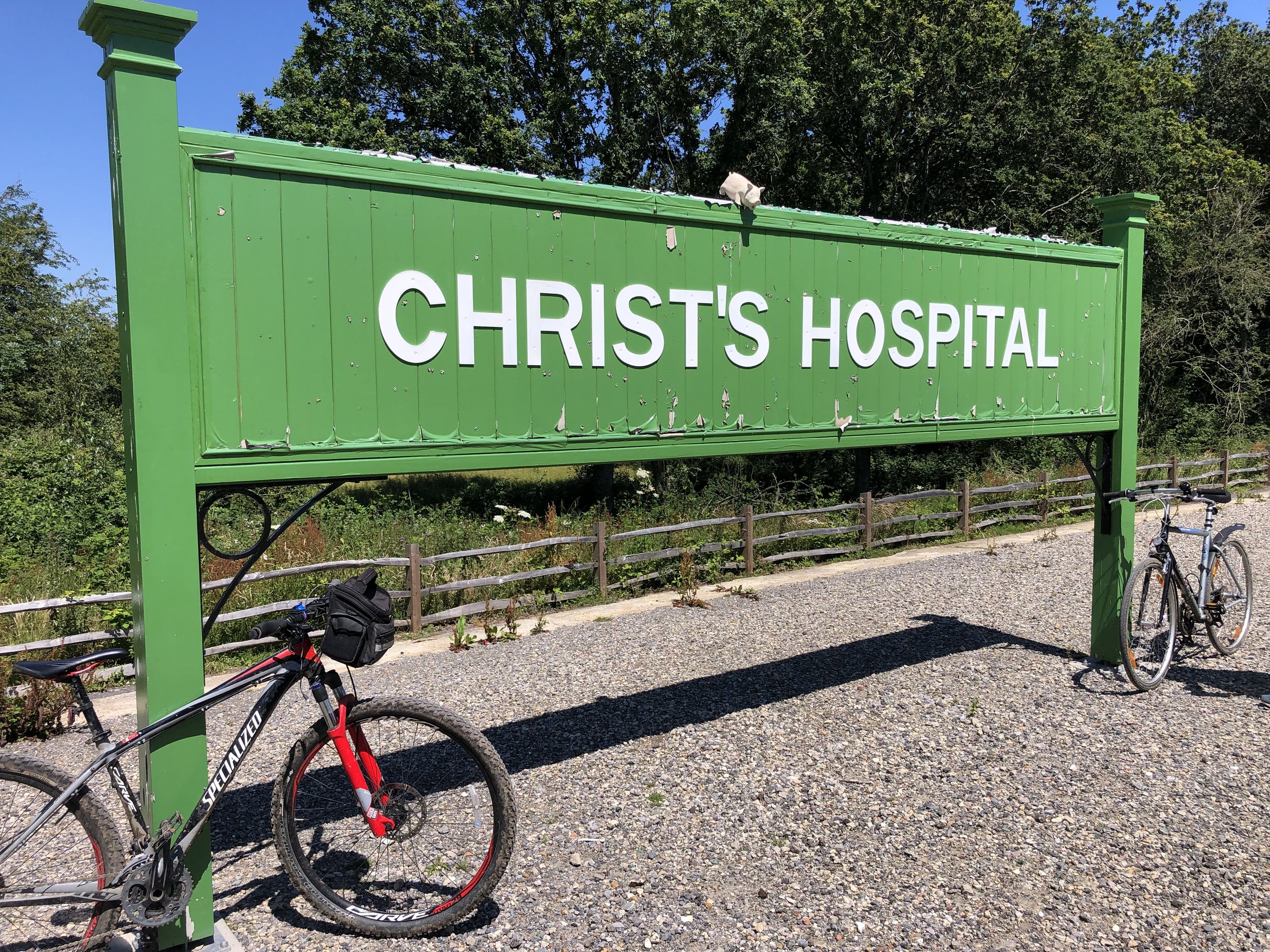
Christ’s Hospital: Disused Stations / Wikipedia. Old station demolished but platform remains. New station to the south.
Pictures above: bottom row, left to right:
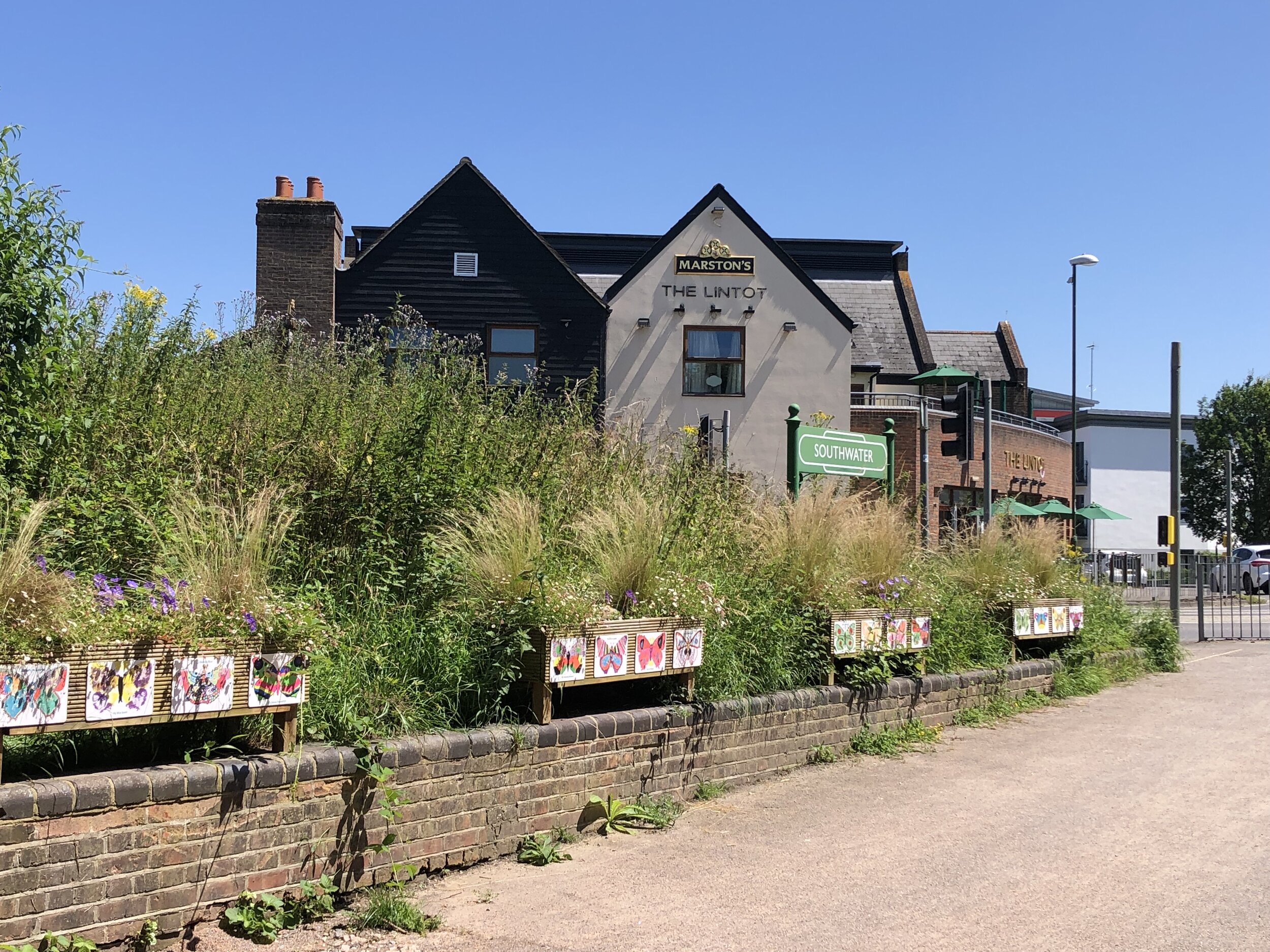
Southwater: Wikipedia. Replica sign only, road now covers site of original station.
West Grinstead: Wikipedia. Station building and cottages now in private hands. Platform remains with a British Rail Mark 1 coach on display.
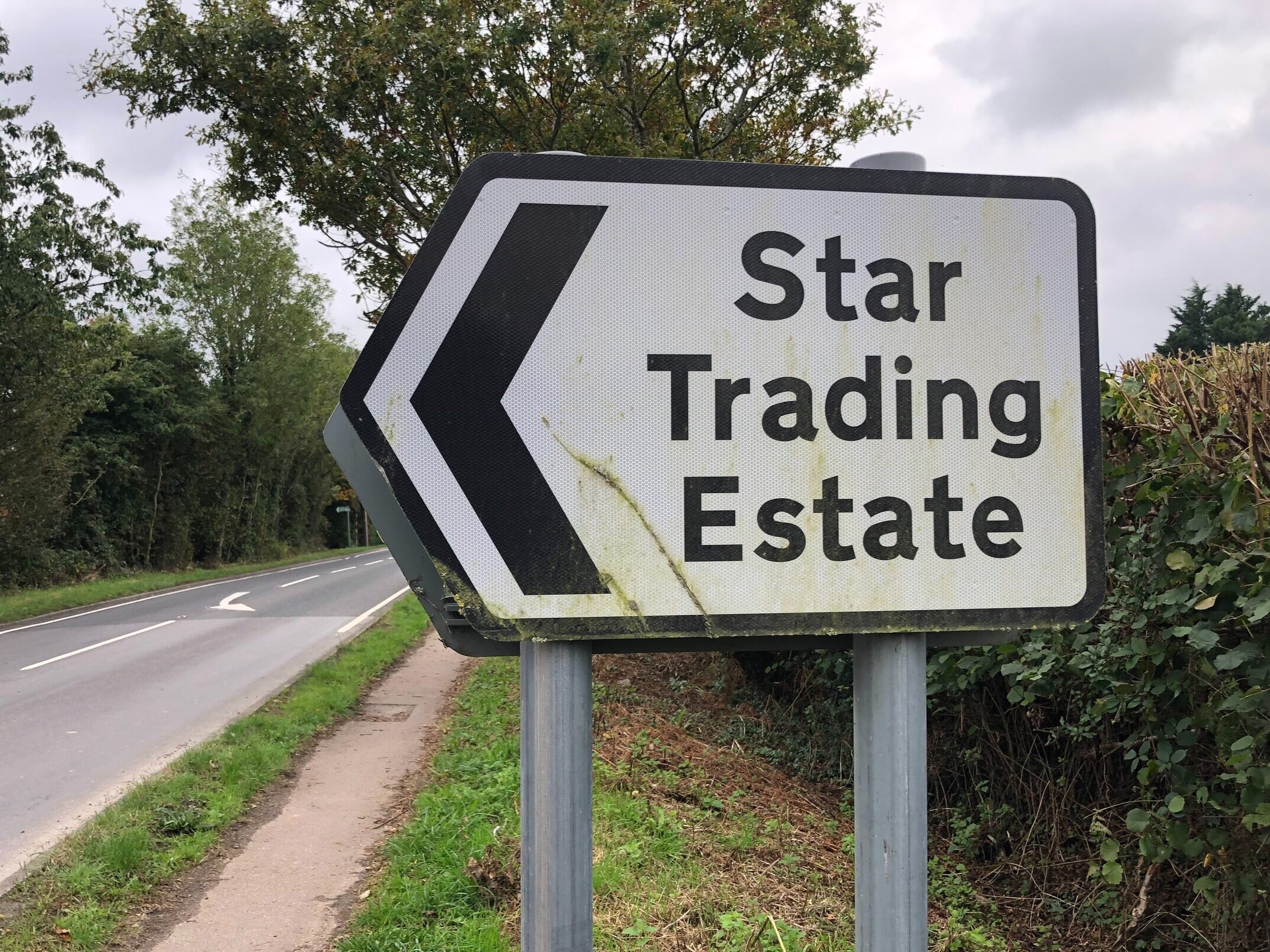
Partridge Green: Wikipedia. Station buildings have been removed and replaced by housing and the Star Road Industrial Estate
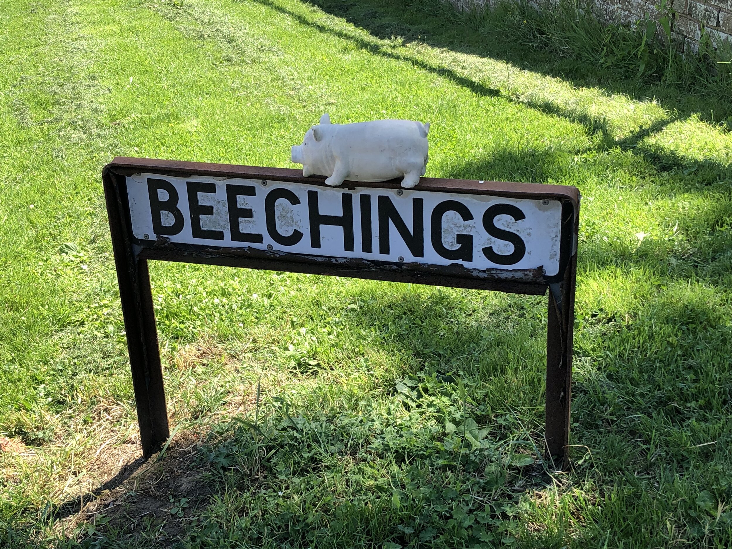
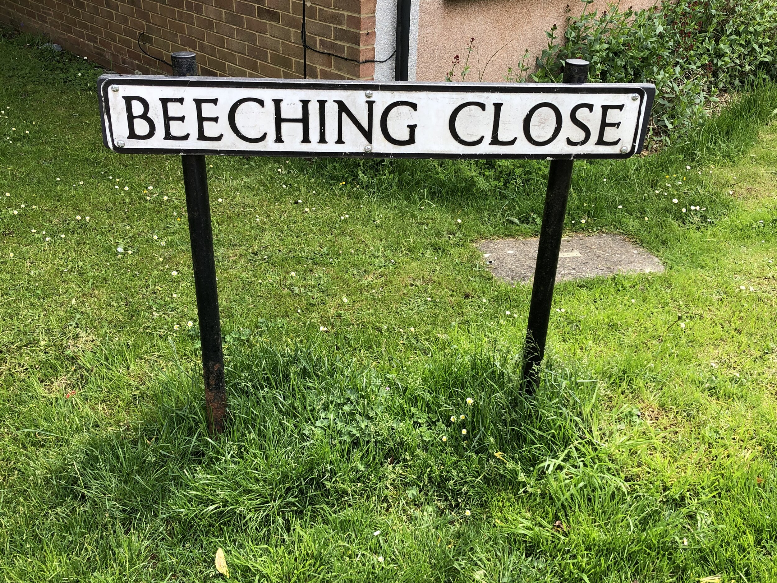
Henfield: Wikipedia. Station demolished. Only evidence is Beechings and Station Road sign where station used to be.
Steyning: Wikipedia. Station demolished but old warehouse building remains, now converted into townhouses.
Bramber: Wikipedia. Station demolished and replaced by a roundabout (photo). No other evidence.
More Disused Railway Posts
View to the north from the Greenwich Observatory: National Maritime Museum and Isle of Dogs in the background
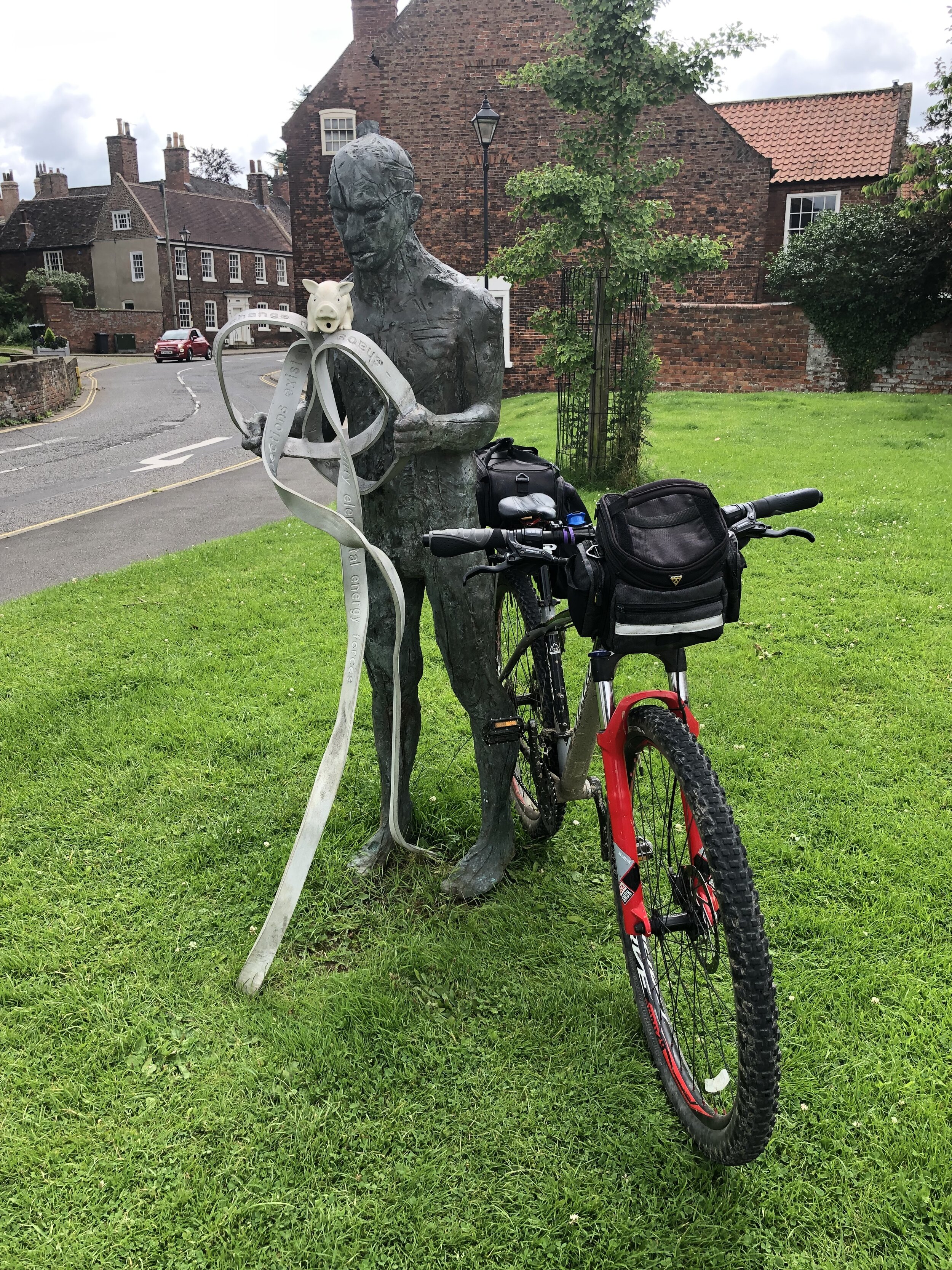
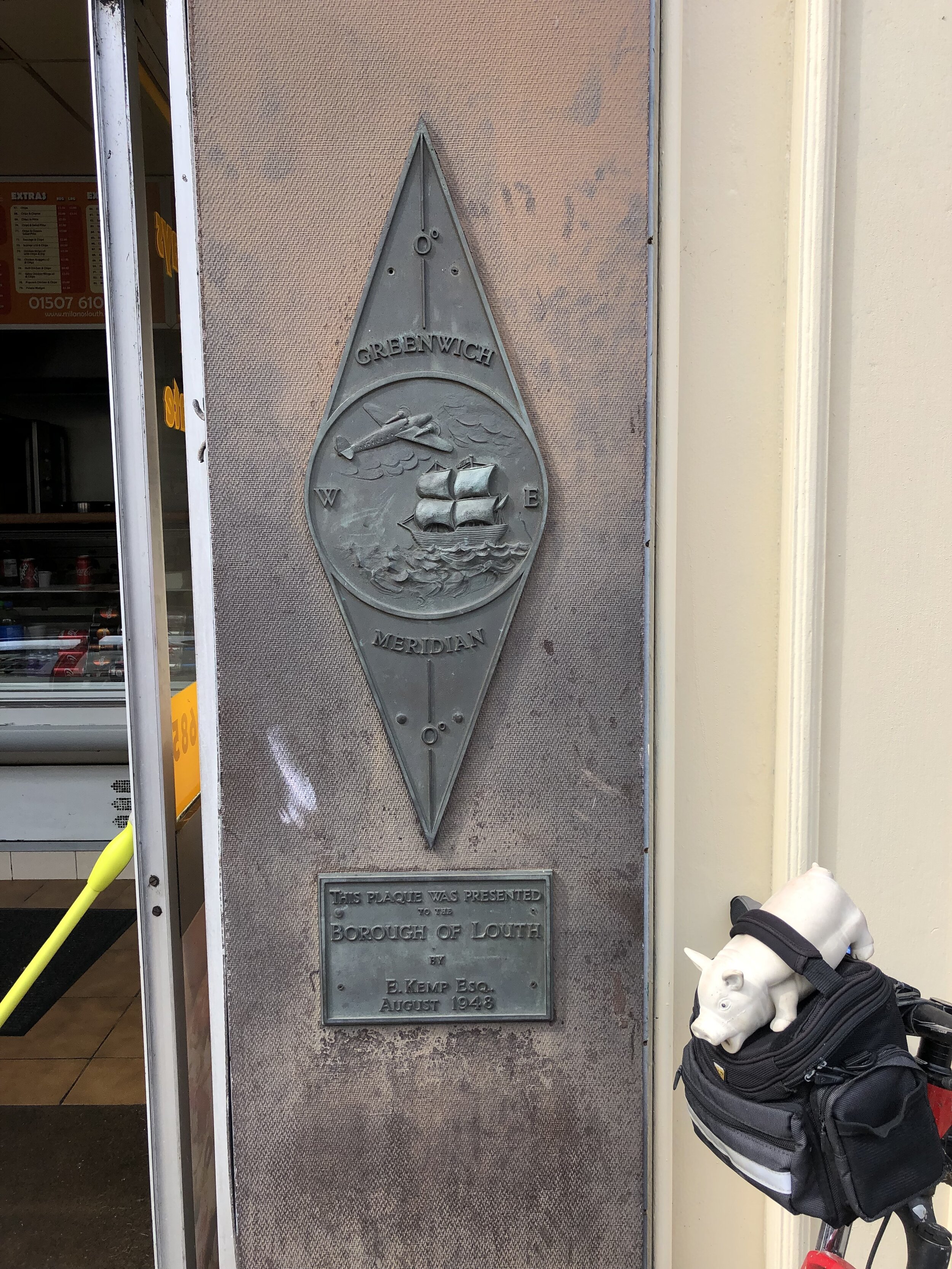
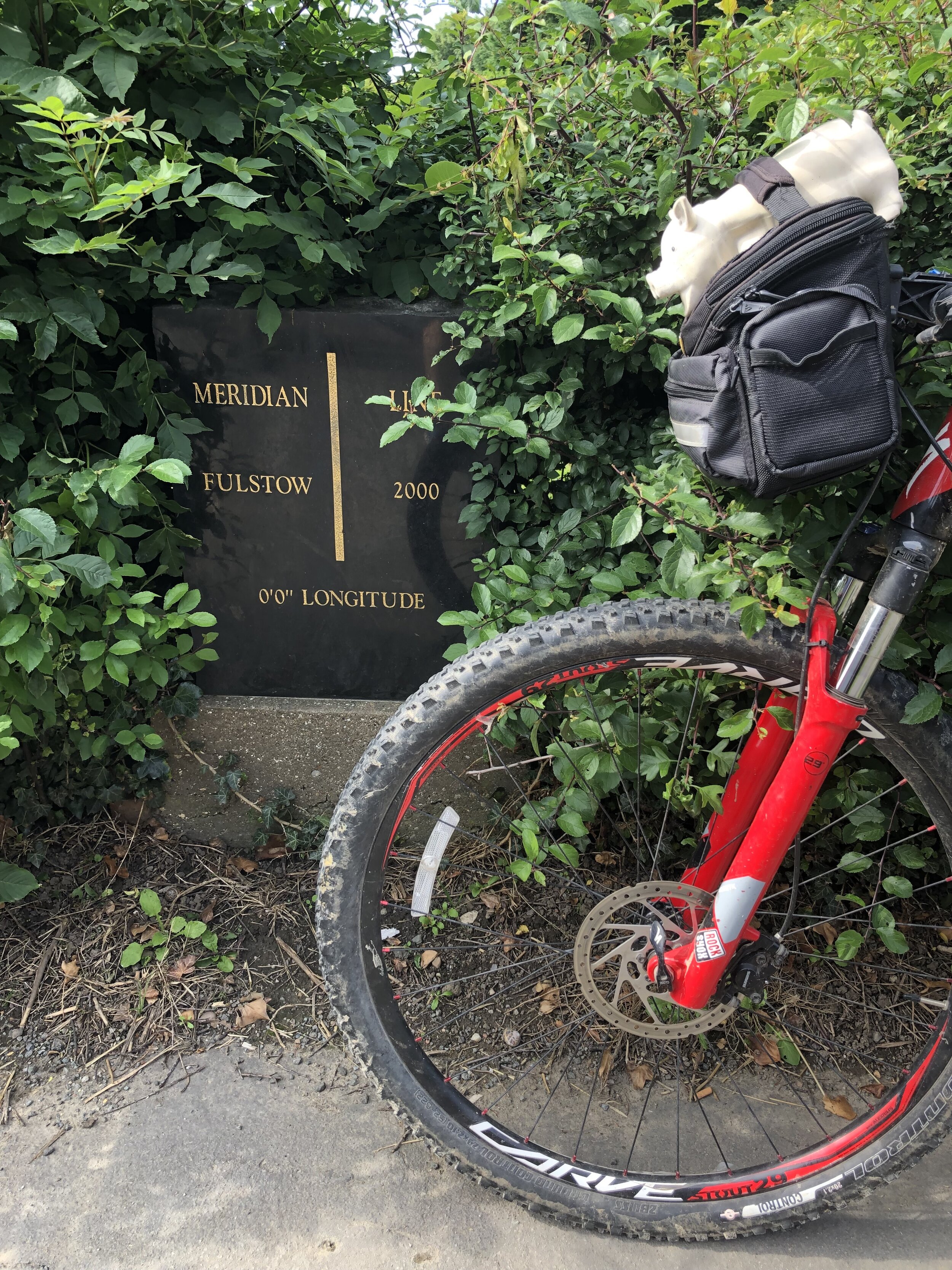
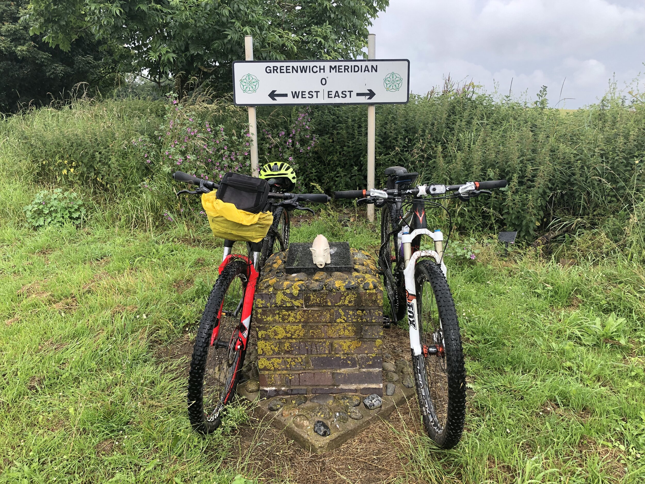
The Prime Meridian, also known as the Greenwich Meridian, is the line of longitude defined as 0°. It’s the line that divides East and West. It’s also a line that I asked myself one Christmas: “can that be cycled"?”. The answer is “no” as it’s a dead-straight line with buildings inconveniently built along it's path. You can cycle quite close to it though, so that’s what we did.
If you want to walk it, there’s a well-signed path called the Greenwich Meridian Trail. The Trail is also very well described in a series of 4 books by Graham and Hilda Heap. The cycle route that I designed stays as close to the Prime Meridian as possible but avoiding footpaths and opting for quieter country roads over busy main roads. Even if you’re cycling I highly recommend the Greenwich Meridian Trail books as they’re a great guide to the interesting things to see along the way.
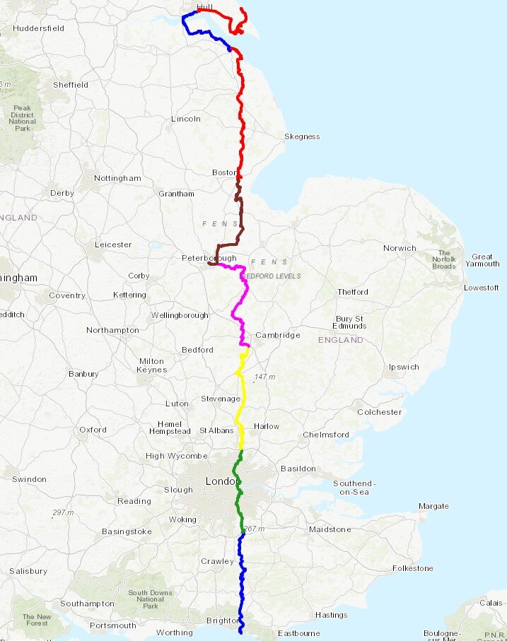
Our cycle trip was 8 days in total, averaging 77k (48 miles) per day. That’s a gentler pace than our previous long distance trips such as LEJOG or Titanic Ireland. Although we could have gone further each day we opted for more coffee and cake stops. We also split it into 3 separate trips rather than a single end-to-end. This ended up taking us exactly a year to complete as Covid Lockdowns interrupted our plans and we had to fit the trips in where we could.
We based the start and end of each section based on access to train lines. Fortunately there’s good train connections along the route without significant diversions. The start at Peacehaven is close to Newhaven Station, although Brighton Station, 6.5 miles away, gives better connections to the North. For the end of Day 2 we wanted to get through London and Waltham Abbey is a natural stopping point. There’s a station nearby at Waltham Cross, or more north/south connections 12 miles west at Potters Bar.
For section 2, covering Days 3 and 4 we covered Waltham Abbey to Peterborough. This takes you quite a way off the Meridian but has a lot of north/south rail connections including to Potters Bar and Hull. Picking up from Peterborough on Day 5 for section 3, we cut diagonally north-east to rejoin the Meridian at Fleet. There’s not much to miss in the section between March and Fleet and the route takes in the main Meridian markers.
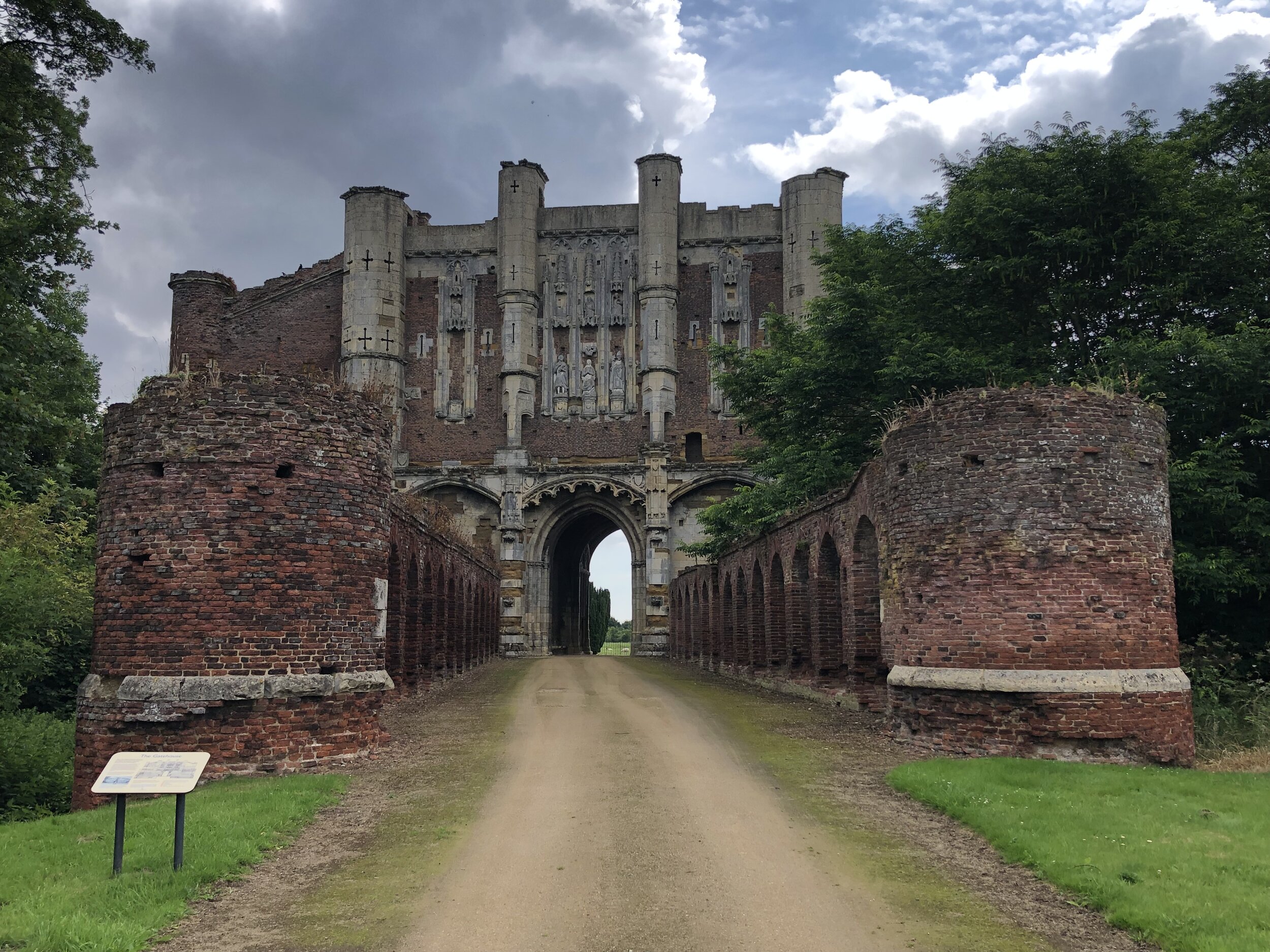
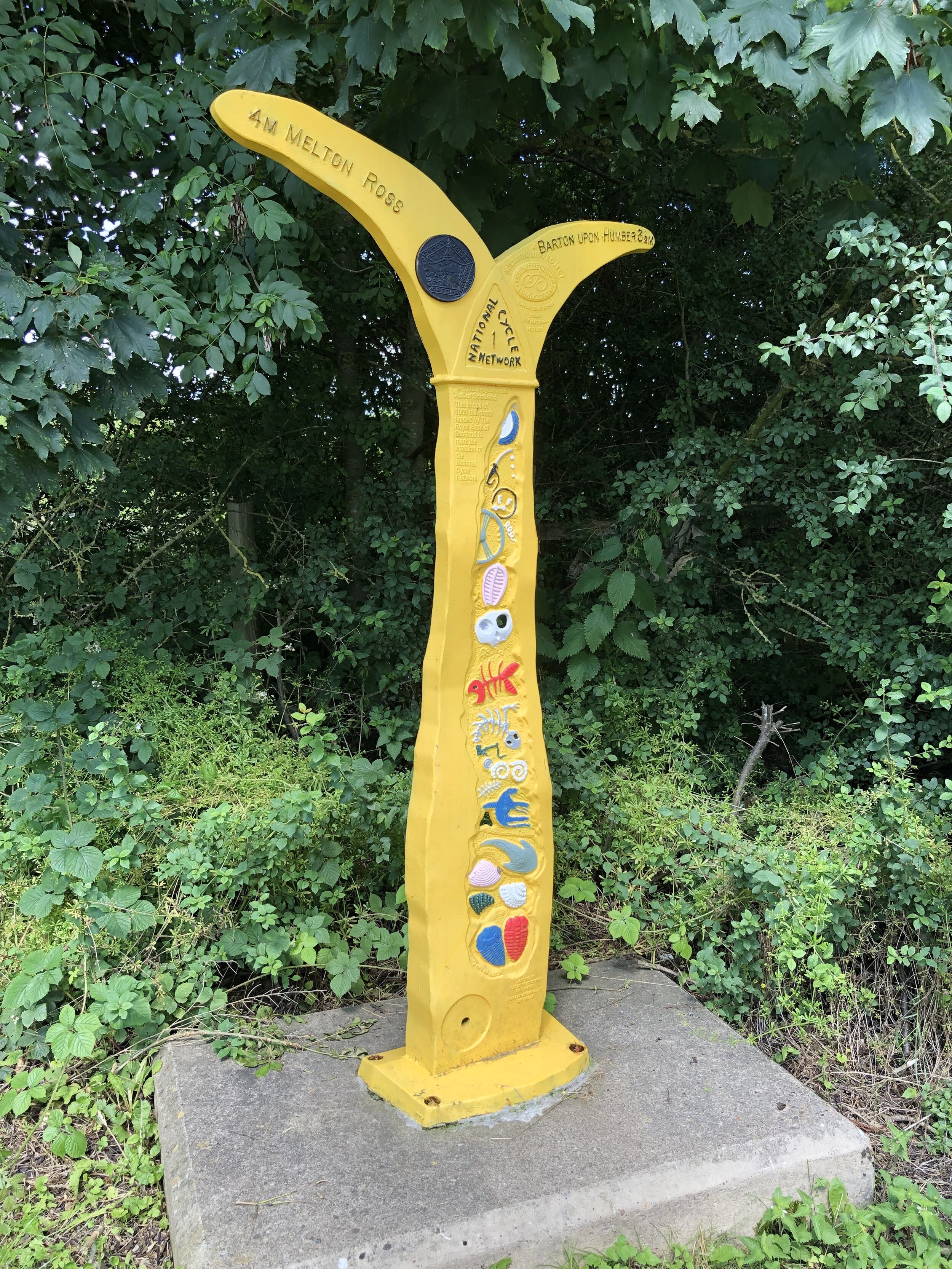
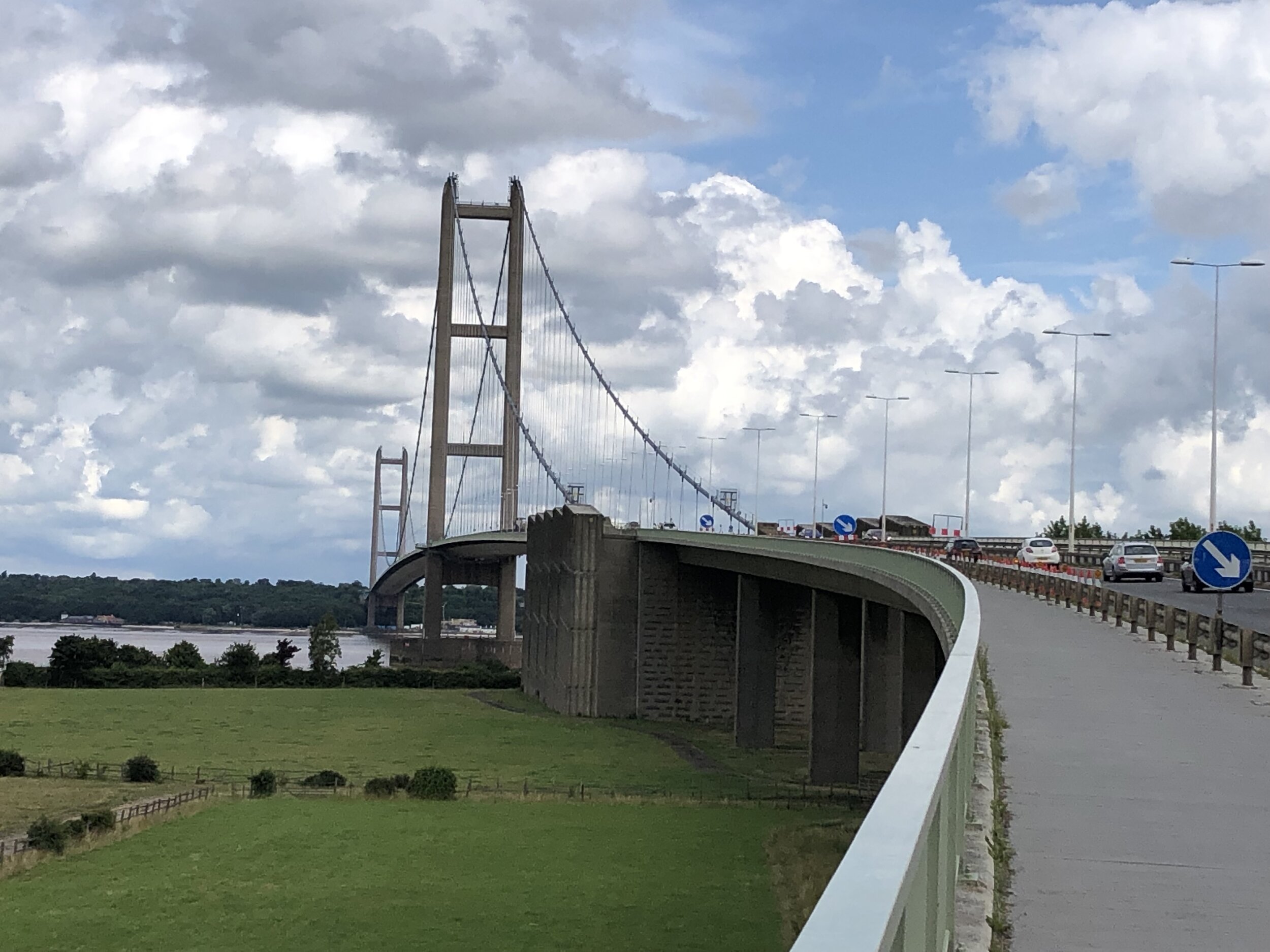
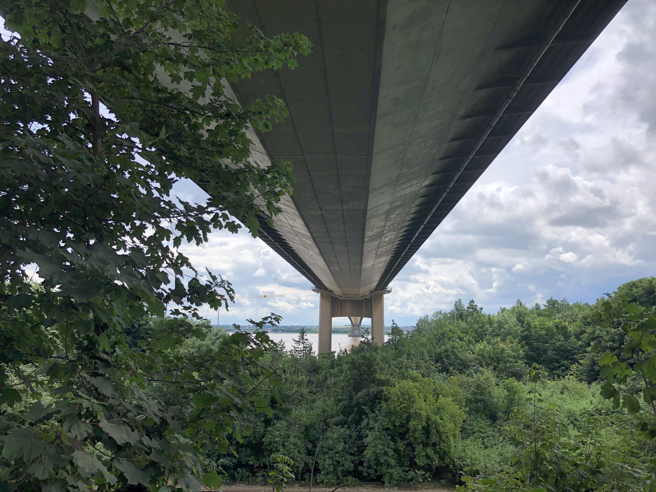
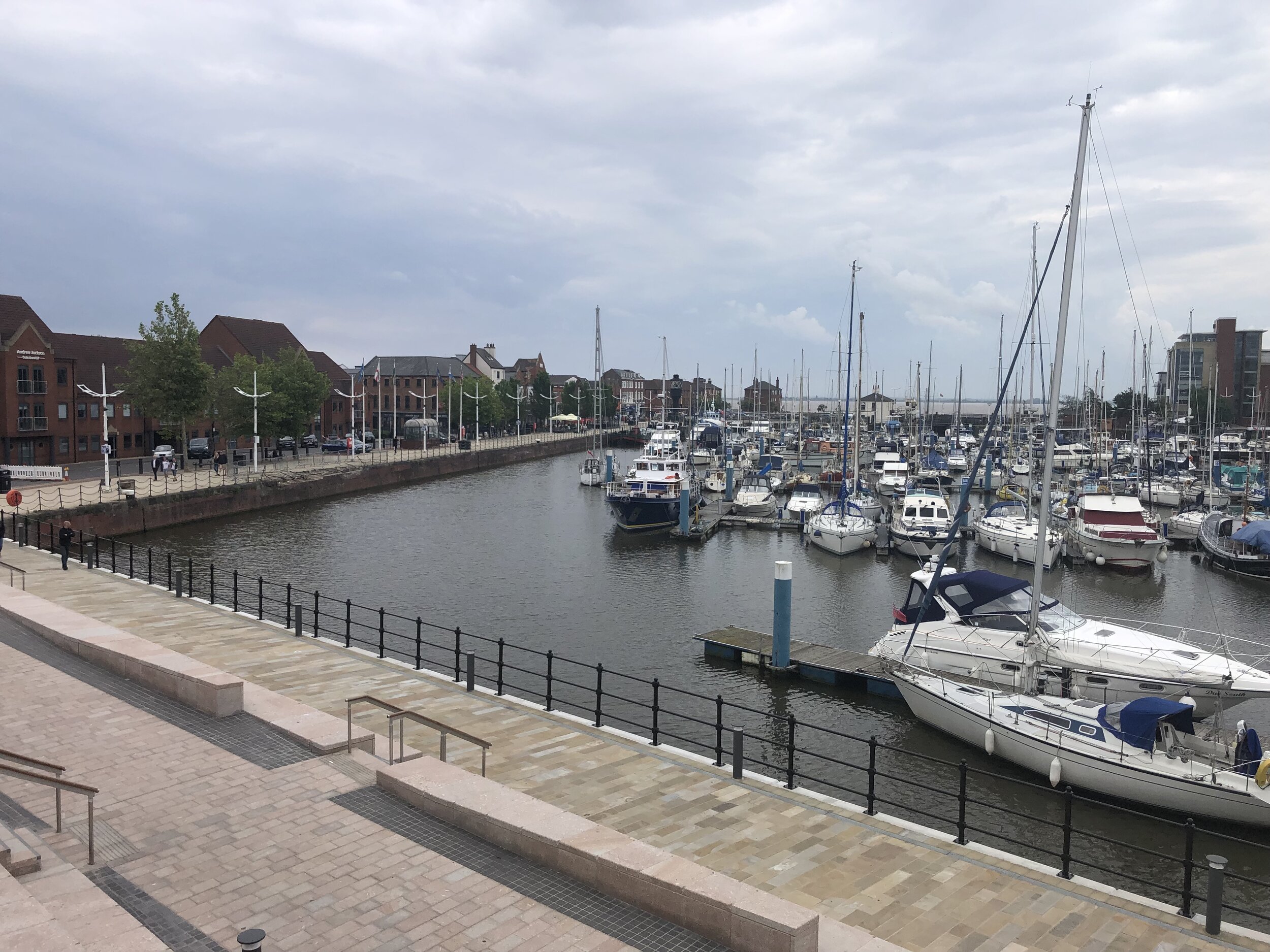
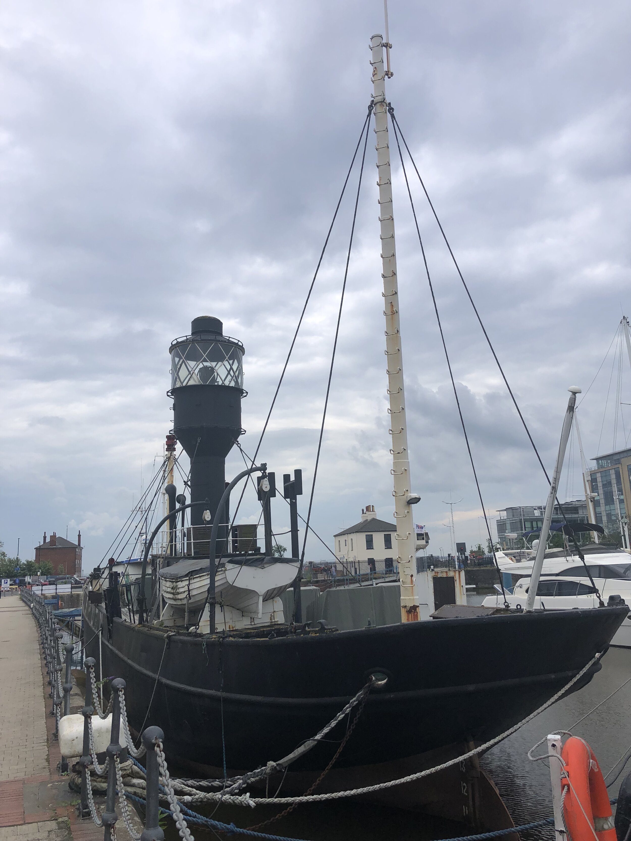
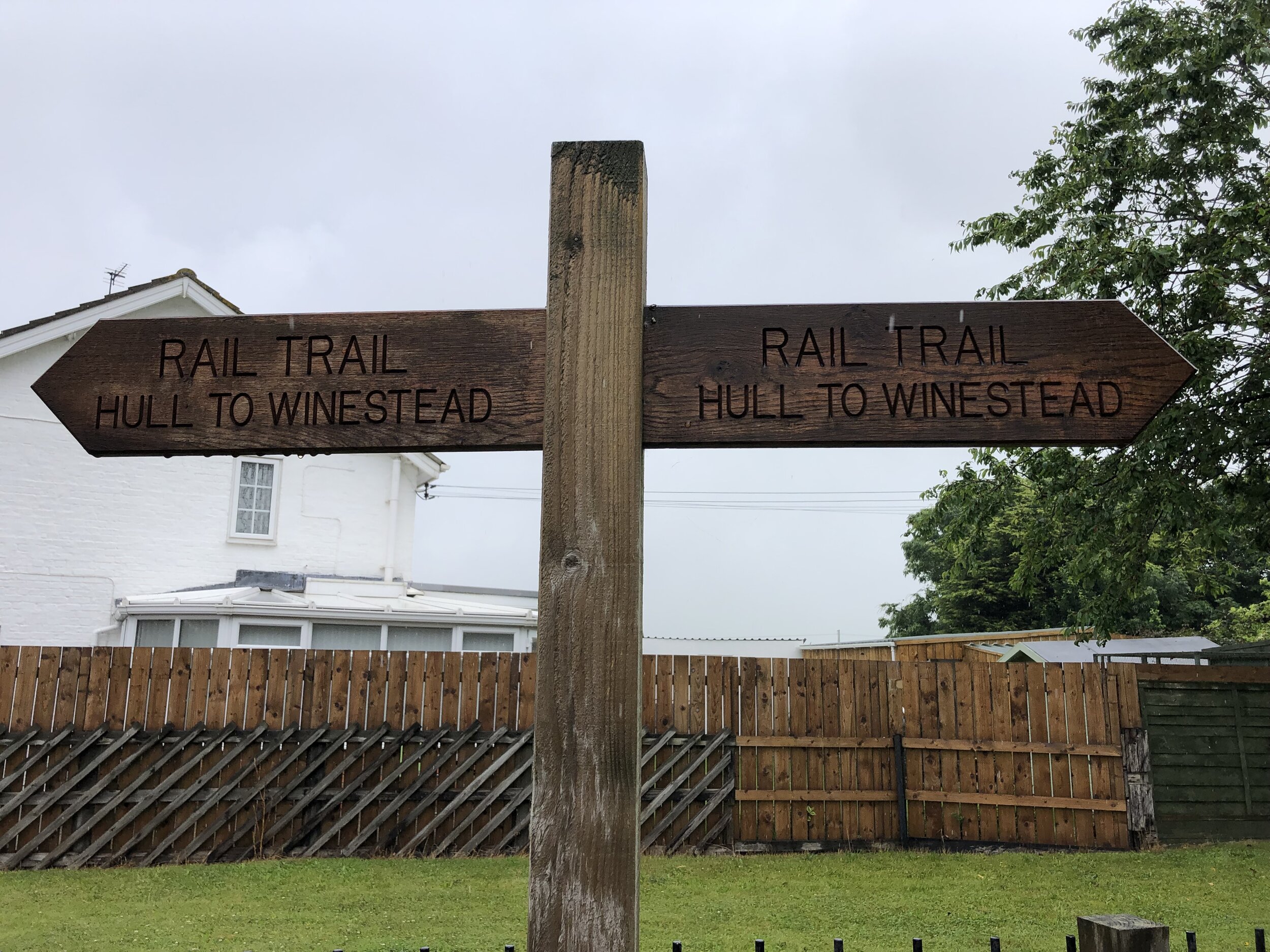
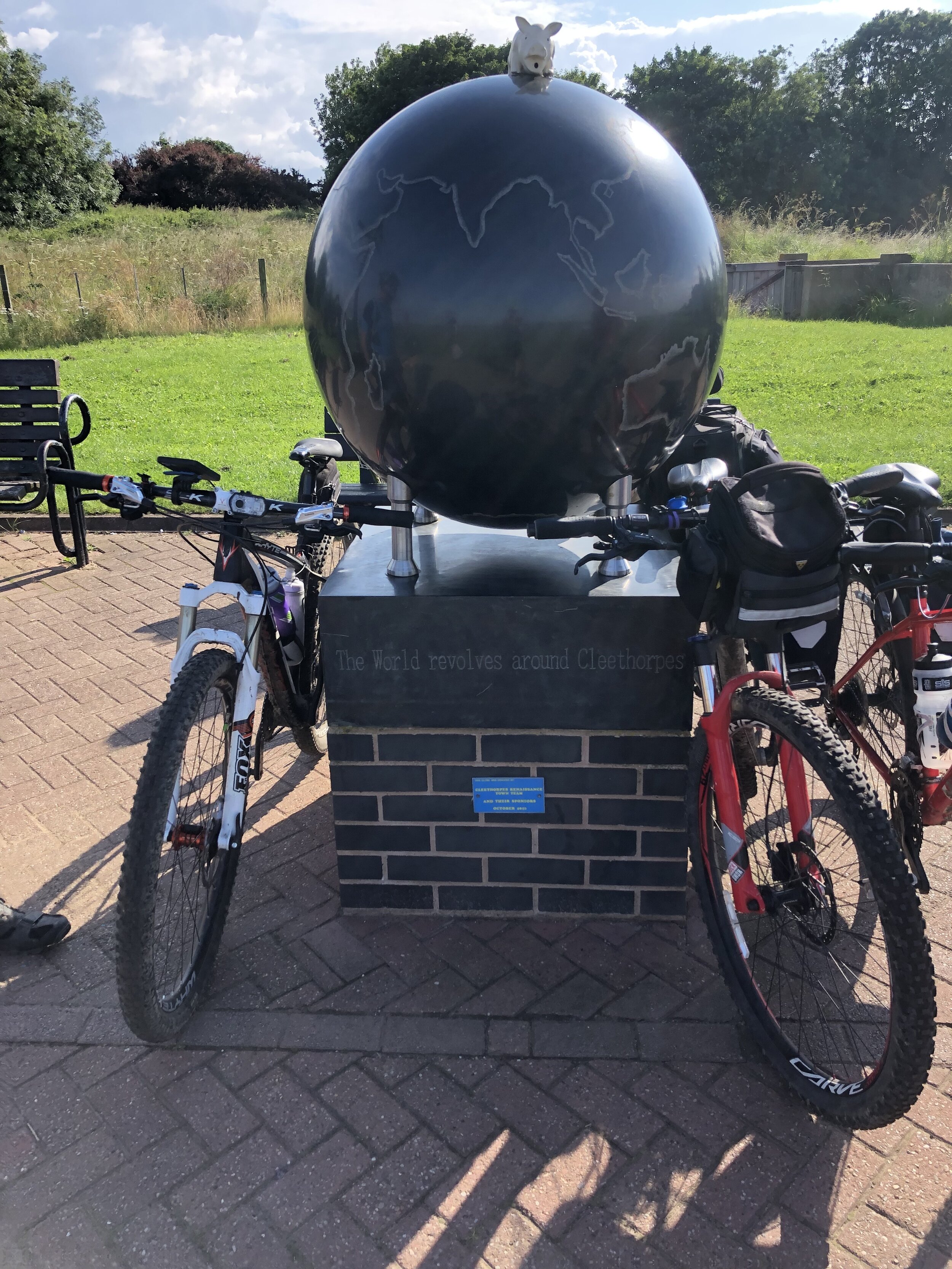
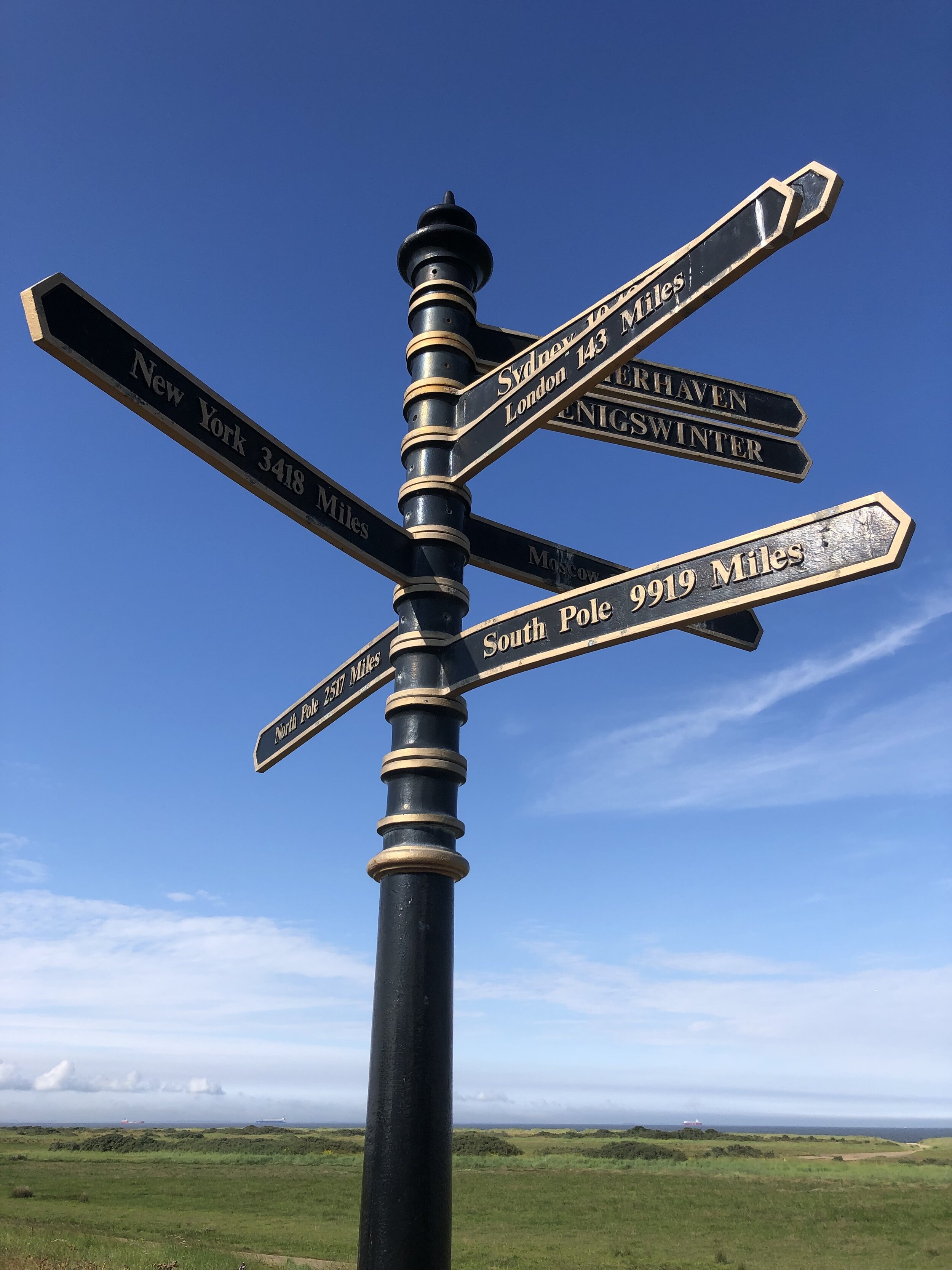
By the end of Day 6 the Meridian reaches the coast at Cleethorpes. From here the challenge is crossing the Humber Estuary to pick up the Meridian where it rejoins land at Sunk Island. The Greenwich Meridian Trail ends at Cleethorpes and a bus is the most practical means of picking up the route at Patringham on the northern side. For our cycle route we took a long diversion west to cross the Humber Bridge and return on the northern side via Hull. This gives you an unbroken cycle trip, but means that all of day 7 and half of day 8 are off the Meridian. It’s worth it for the crossing of the Humber Bridge and the Hull to Winestead Rail Trail.
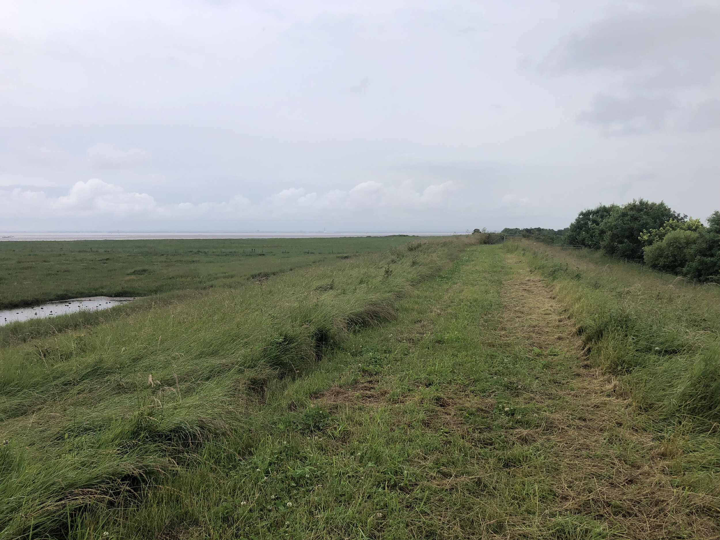
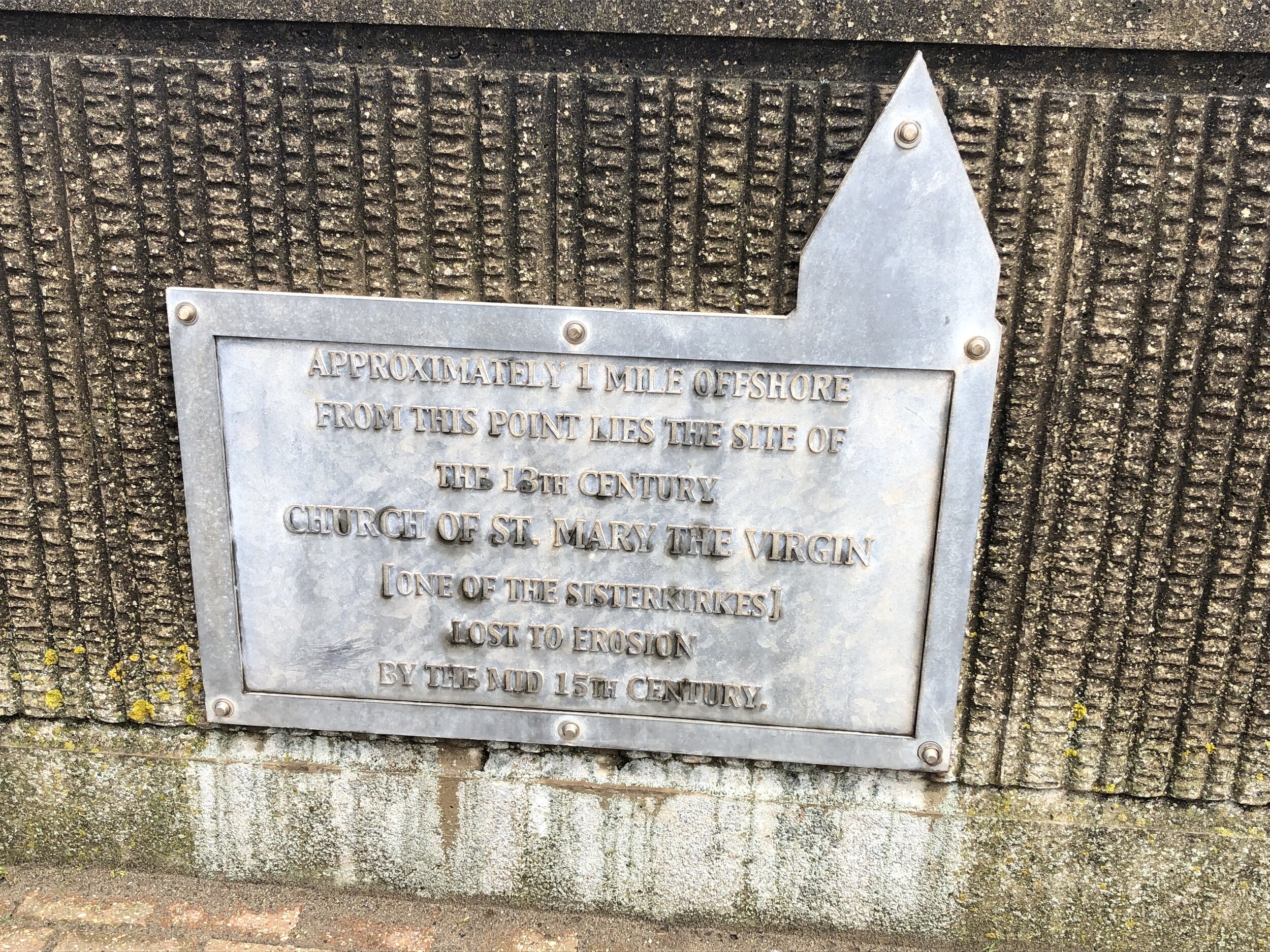
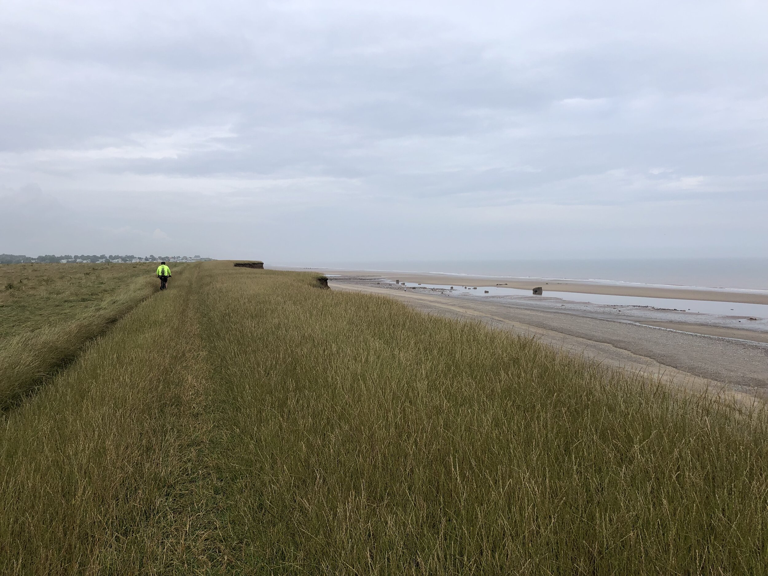
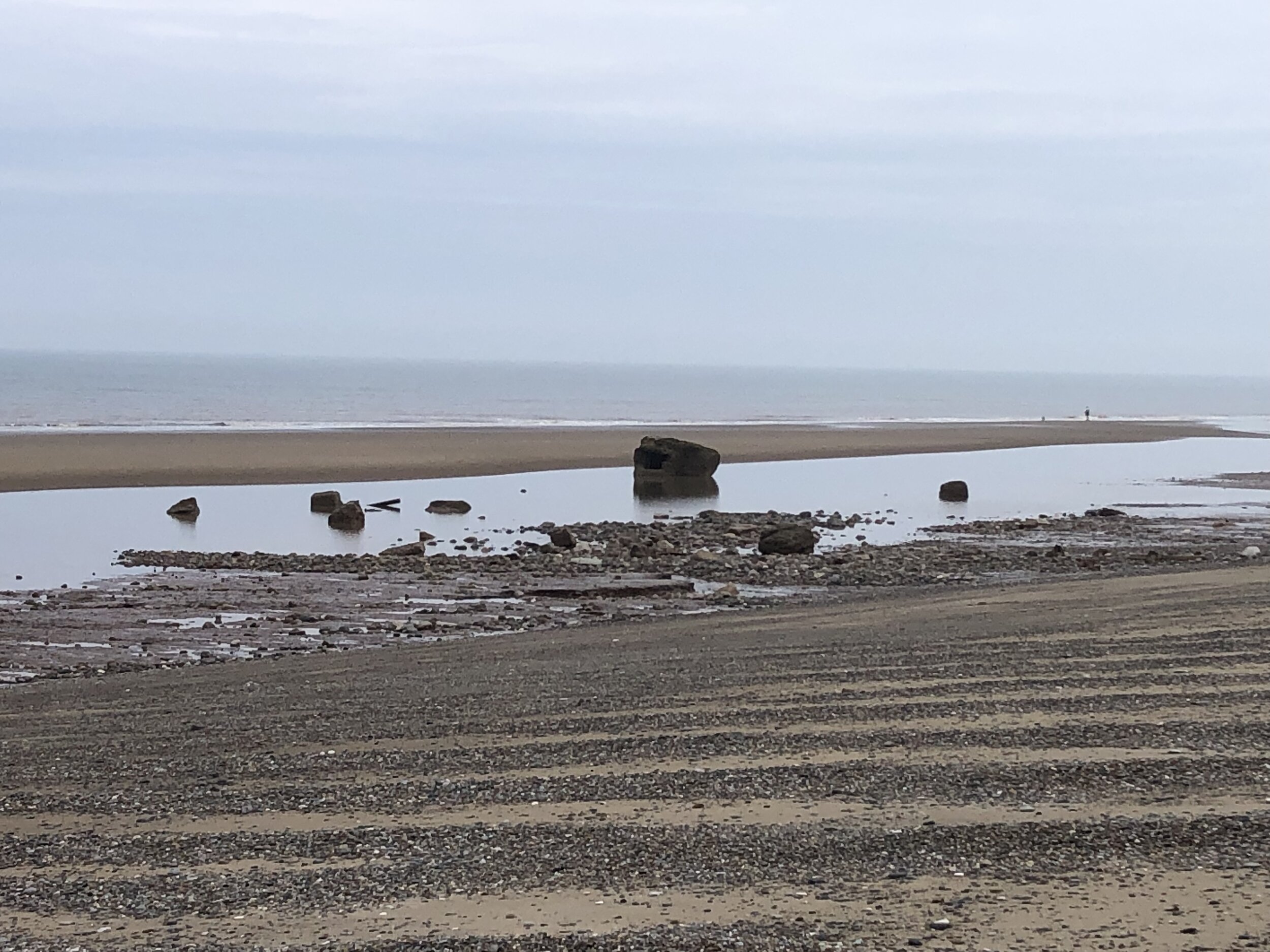
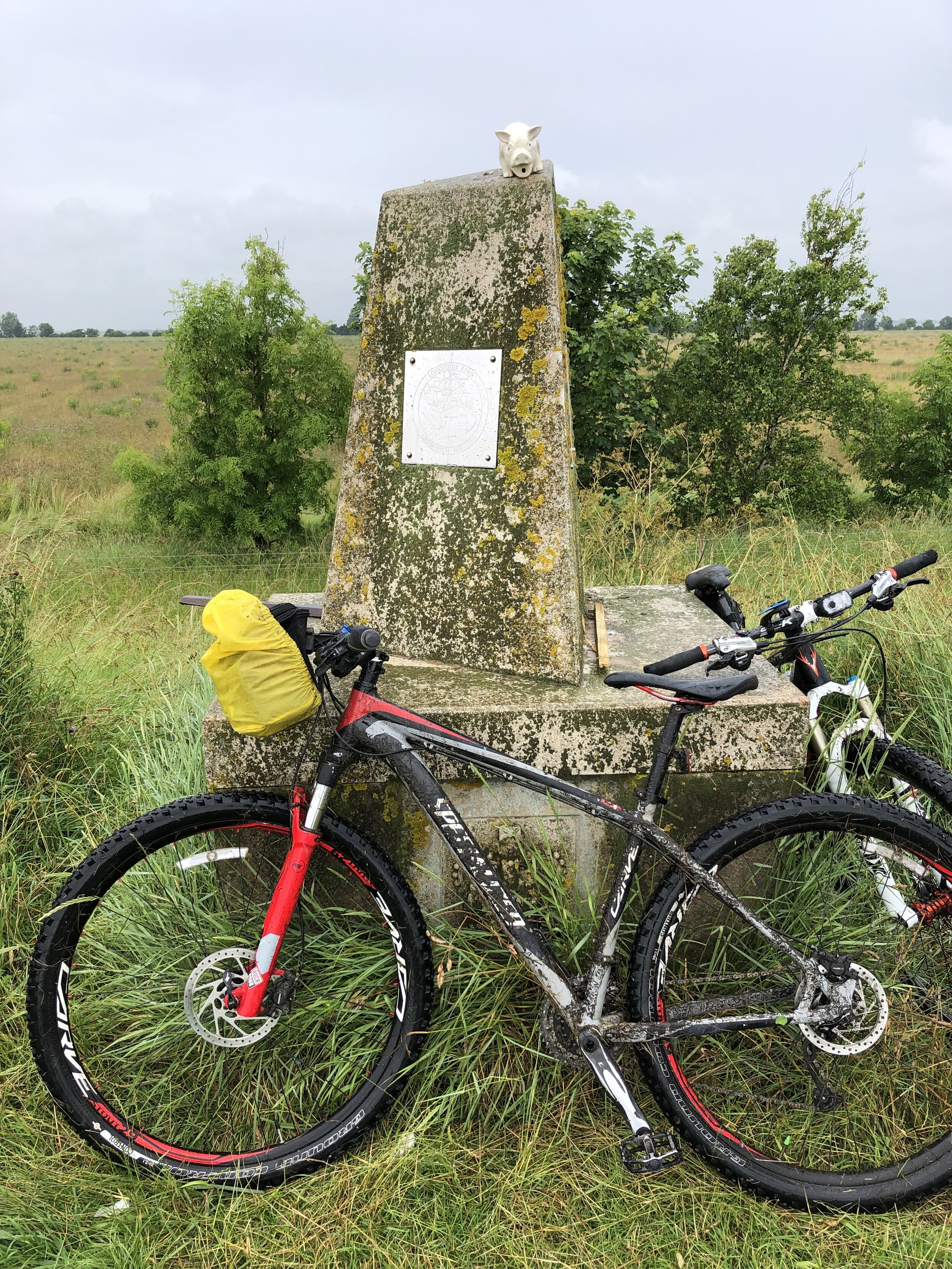
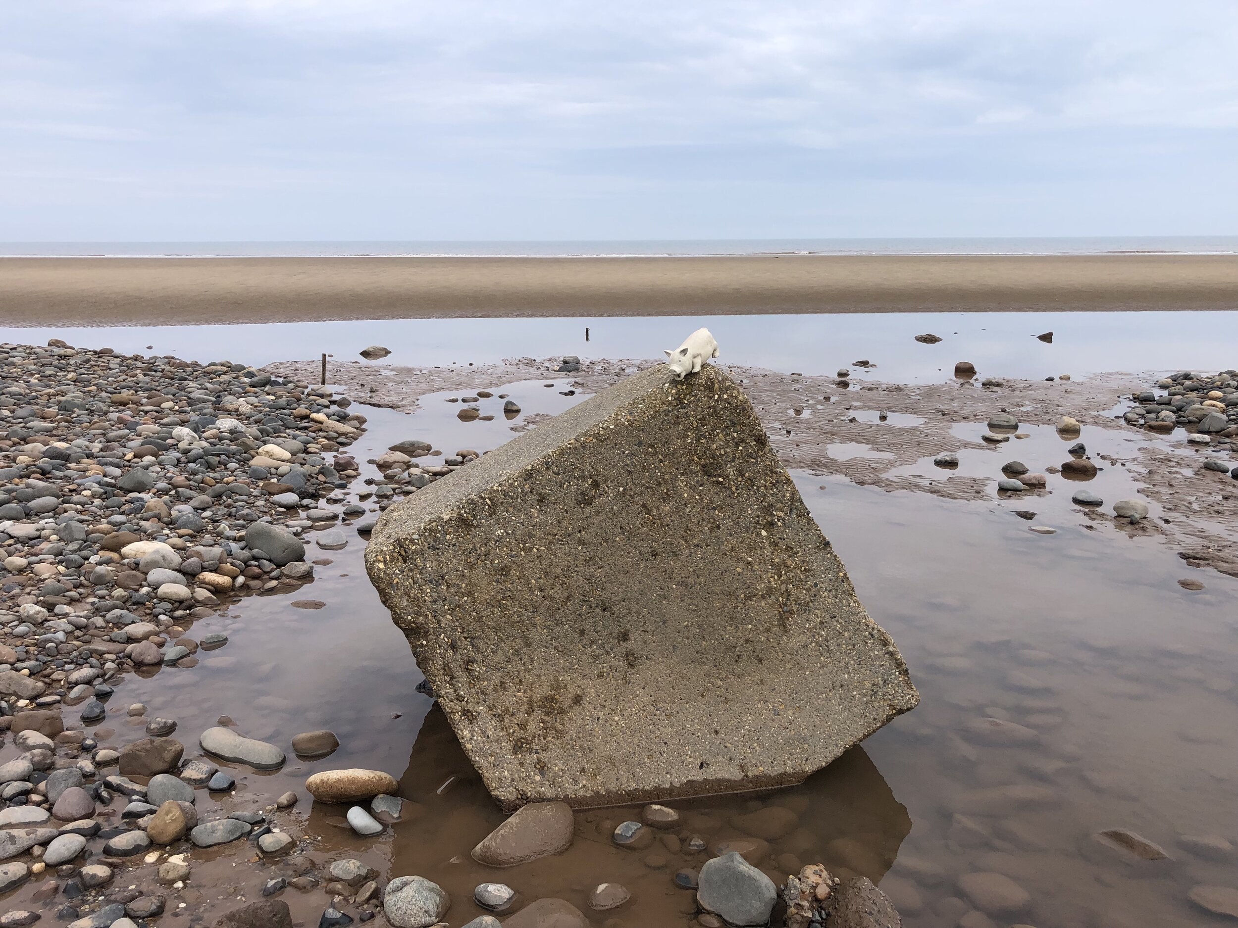
The final point of the Prime Meridian at Sand Le Mere is quite different to the start at Peacehaven. There’s no monument to mark the end of your trip … at least not any more. This is one of the most eroded parts of the English coast and the previous marker is long gone. Instead we found a large lump of concrete that was more or less in the right position and decided it was the end point. From here it’s 28k ride back to Hull where you can get the train back home.
See the individual blog posts for each section for photos, maps and stats covering each day.
Links to each section:
The Complete Route
Two maps of the Prime Meridian. Above: Cycle route, each colour representing a different day of the trip. Right: tube-style map showing the cycle route, 0 degrees longitude and the Greenwich Meridian Trail
Sand Le Mere: the most northerly point of the Prime Meridian on mainland UK
The Prime Meridian, also known as the Greenwich Meridian, is the line of longitude defined as 0°. It’s the line that divides East and West. It’s also a line that I asked myself: “can that be cycled"?”. The answer is “no” as it’s a dead-straight line with buildings inconveniently built along it's path. You can cycle quite close to it though, so that’s what we did.
If you want to walk it, there’s a well-signed path called the Greenwich Meridian Trail. The Trail is also very well described in a series of 4 books by Graham and Hilda Heap. The cycle route that I designed stays as close to the Prime Meridian as possible but avoiding footpaths and opting for quieter country roads over busy main roads. Even if you’re cycling I highly recommend the Greenwich Meridian Trail books as they’re a great guide to the interesting things to see along the way.
It had been a year since Brian and I cycled the first part and three months since part 2 with Ray. As the rest of the route was now a lot further away from where we live in the south, this would be one final trip to complete the full route.
For most of the full 8-day trip most of the cycle route keeps close to both the actual Prime Meridian and the Greenwich Meridian (walking) Trail. The challenge at the end of the trip is getting around or across the Humber Estuary which cuts through the route between Cleethorpes and Sunk Island. The Greenwich Meridian Trail ends at Cleethorpes and a bus is the most practical means of picking up the route at Patringham on the North. For our cycle route we took a long diversion west to cross the Humber Bridge and return on the northern side via Hull. This gives you an unbroken cycle trip, but means that all of day 7 and half of day 8 are off the Meridian. It’s worth it though for the crossing of the Humber Bridge and the Hull to Winestead Rail Trail.
Day numbers below are for the total Prime Meridian trip starting in Peacehaven.
Day 5: Peterborough to Boston
Start: Peterborough Railway Station, Peterborough, PE1 1QL, United Kingdom
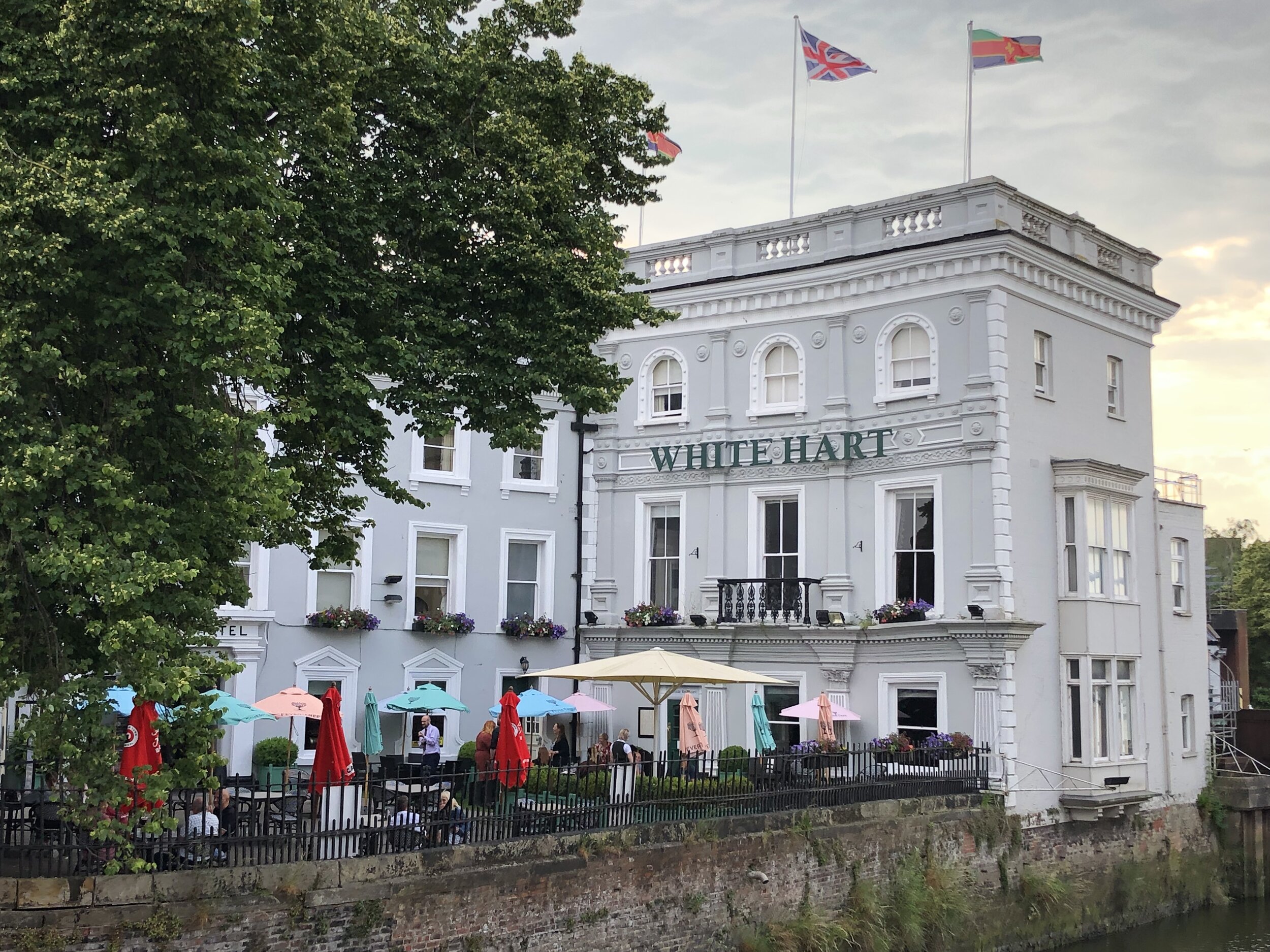
Finish: The White Hart Hotel, 1-5 High Street, Boston, PE21 8SH
Distance: 77 km (47.8 miles)
Elevation change: + 140m / -142m (Net -2m)
GPX File: get via Buy Me a Coffee
Other routes touched (walk): Greenwich Meridian Trail, Nene Way, Macmillan Way,
Other routes touched (cycle): NCN 1, 12, 63, Peterborough Green Wheel
Pubs / Cafes on route: Several in Holbeach High Street (approx 45k in)
Maps:
- OS Explorer Map (235) Wisbech and Peterborough North
- OS Explorer Map (249) Spalding and Holbeach
- OS Explorer Map (261) Boston
Guidebook: Greenwich Meridian Trail Book 3: Hardwick to Boston
Links: Wikipedia: Prime Meridian, The Greenwich Meridian, Greenwich Meridian Trail, Peterborough, Holbeach, Boston
Day 6: Boston to Grimsby
Start: The White Hart Hotel, 1-5 High Street, Boston, PE21 8SH
Finish: St James Hotel, Freshney Place, St James Square, Grimsby, DN31 1EP
Distance: 91.6 km (57 miles)
Elevation change: + 595m / -597m (Net -2m)
GPX File: get via Buy Me a Coffee
Other routes touched (walk): Greenwich Meridian Trail, Macmillan Way, Lincolnshire Wolds Way, Silver Lincs Way
Other routes touched (cycle): NCN 1, 110
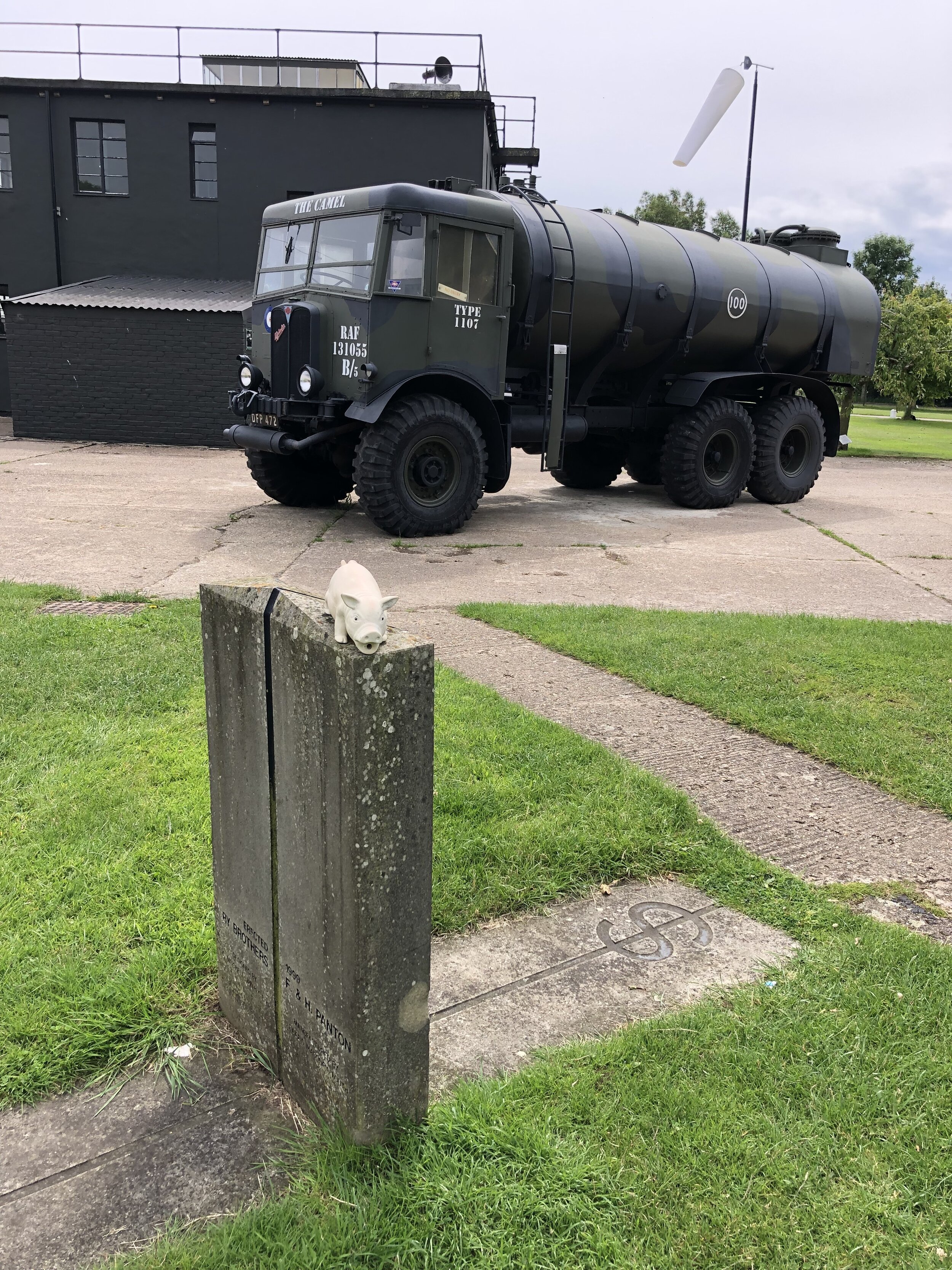
Pubs / Cafes on route: Cafe at the Lincolnshire Aviation Heritage Centre (PE23 4DE) - free entry to the cafe. Several pubs and cafes in Louth.
Maps:
- OS Explorer Map (261) Boston
- OS Explorer Map 273 Lincolnshire Wolds South
- OS Explorer Map (282) Lincolnshire Wolds North
- OS Explorer Map (284) Grimsby, Cleethorpes and Immingham, Caistor and North Thoresby
Guidebook: Greenwich Meridian Trail Book 4: Boston to Sand Le Mere
Links: Wikipedia: Prime Meridian, The Greenwich Meridian, Greenwich Meridian Trail, Boston, Lincolnshire Aviation Heritage Centre, Old Bollingbroke, Louth, Cleethorpes, Grimsby
Day 7: Grimsby to Hull
Start: St James Hotel, Freshney Place, St James Square, Grimsby, DN31 1EP
Finish: The Gilson Hotel, 11 Anlaby Road, Hull, HU1 2PJ
Distance: 51 km (32 miles)
Elevation change: + 193m / -194m (Net -1m)
GPX File: get via Buy Me a Coffee
Other routes touched (walk): Trans Pennine Trail, Yorkshire Wolds Way
Other routes touched (cycle): NCN 1, 65
Pubs / Cafes on route: Cafe at Deepdale Garden Centre (DN18 6ED)
Maps:
- OS Explorer Map (284) Grimsby, Cleethorpes and Immingham, Caistor and North Thoresby
- OS Explorer Map (281) Ancholme Valley
- OS Explorer Map (293) Kingston-upon-Hull and Beverley
Guidebook: N/A: not covered by the Greenwich Meridian Trail books.
Links: Wikipedia: Prime Meridian, The Greenwich Meridian, Greenwich Meridian Trail, Grimsby, Immingham Docks, Thornton Abbey, Barton-upon-Humber, Humber Bridge, Kingston-upon-Hull
Day 8: Hull to Sand Le Mere
Start: The Gilson Hotel, 11 Anlaby Road, Hull, HU1 2PJ
Finish: Sand Le Mere Beach, Roos, Hull, HU12 0JF
Distance: 65 km (40.4 miles)
Elevation change: + 143m / -148m (Net -5m)
GPX File: get via Buy Me a Coffee
Other routes touched (walk): Hull Fish Trail, Wilberforce Way, Hull to Winestead Rail Trail, Greenwich Meridian Trail
Other routes touched (cycle): NCN 1, 66, National Byway
Pubs / Cafes on route: several in Patringham Village Centre
Maps:
- OS Explorer Map (293) Kingston-upon-Hull and Beverley
- OS Explorer Map (292) Withernsea and Spurn Head
Guidebook: Greenwich Meridian Trail Book 4: Boston to Sand Le Mere
Links: Wikipedia: Prime Meridian, The Greenwich Meridian, Greenwich Meridian Trail, Kingston-upon-Hull, Sunk Island, Patringham, Withernsea
Return to Hull from Sand Le Mere
Start: Sand Le Mere Beach, Roos, Hull, HU12 0JF
Finish: Hull Station, Paragon Station, Ferensway, Hull HU1 3QX
Distance: 27.8 km (17.3 miles)
Elevation change: + 80m / -77m (Net +3m)
GPX File: get via Buy Me a Coffee
Other routes touched (walk): Hull Fish Trail, Wilberforce Way, Hull to Winestead Rail Trail
Other routes touched (cycle): NCN 1, 66, National Byway
Pubs / Cafes on route: Nags Head, Preston (HU12 8TT)
Maps:
- OS Explorer Map (292) Withernsea and Spurn Head
- OS Explorer Map (293) Kingston-upon-Hull and Beverley
Links: Kingston-upon-Hull
Prime Meridian Markers on the route
Row 2 (LEFT TO RIGHT):
Row 1 (LEFT TO RIGHT):
Row 4 (LEFT TO RIGHT):
Sand le Mere lump of concrete (not the missing pillar)
Row 3 (LEFT TO RIGHT):
Previous section: Waltham Abbey to Peterborough
Bamburgh Castle. 1km from the Finish Line
When: June 26th 2021
From: Kirkharle Courtyard, NE19 2PE
To: Car Park, Radcliffe Road, Bamburgh, NE69 7AE
Distance: 102.6 km (63.7 miles) based on my Garmin stats. Official distance = 100 km
Elevation Change: +1,141m / -1,591m. Net -450m
GPX File: get via Buy Me a Coffee
Other routes touched (walk): St Oswolds Way, Hadrian’s Wall Path, Northumberland Coast Path
Other routes touched (cycle): NCN 1
Maps:
- OS Explorer OL42 Kielder Water & Forest
- OS Explorer Map (325) Morpeth and Blyth
- OS Explorer Map 332 Alnwick and Amble, Craster and Whittingham
- OS Explorer Map (340) Holy Island and Bamburgh
Guidebook: St Oswald's Way and St Cuthbert's Way: With the Northumberland Coast Path (Cicerone)
Finish time: 17 hours 46 minutes
Links: St Oswolds Way, Northumberland National Park, Rothbury, River Coquet, Warkworth, Alnmouth, Craster, Seahouses, Bamburgh, Bamburgh Castle
I’d signed up for Race To The Castle as soon as tickets were open. This was the fourth and newest of the Threshold Trail series. Having done the other three, I needed to complete the set. It would take a while to get to the start line though. As with most 2020 events Covid pushed it back a year. So, 18 months after signing up, I was in the 08:30 start wave ready to run my second 100k ultra.
All the usual pre-race nerves were there. Although I do an ultra every year it has been five years since my last 100k. My preparation had gone well, but you never know how the day will go.
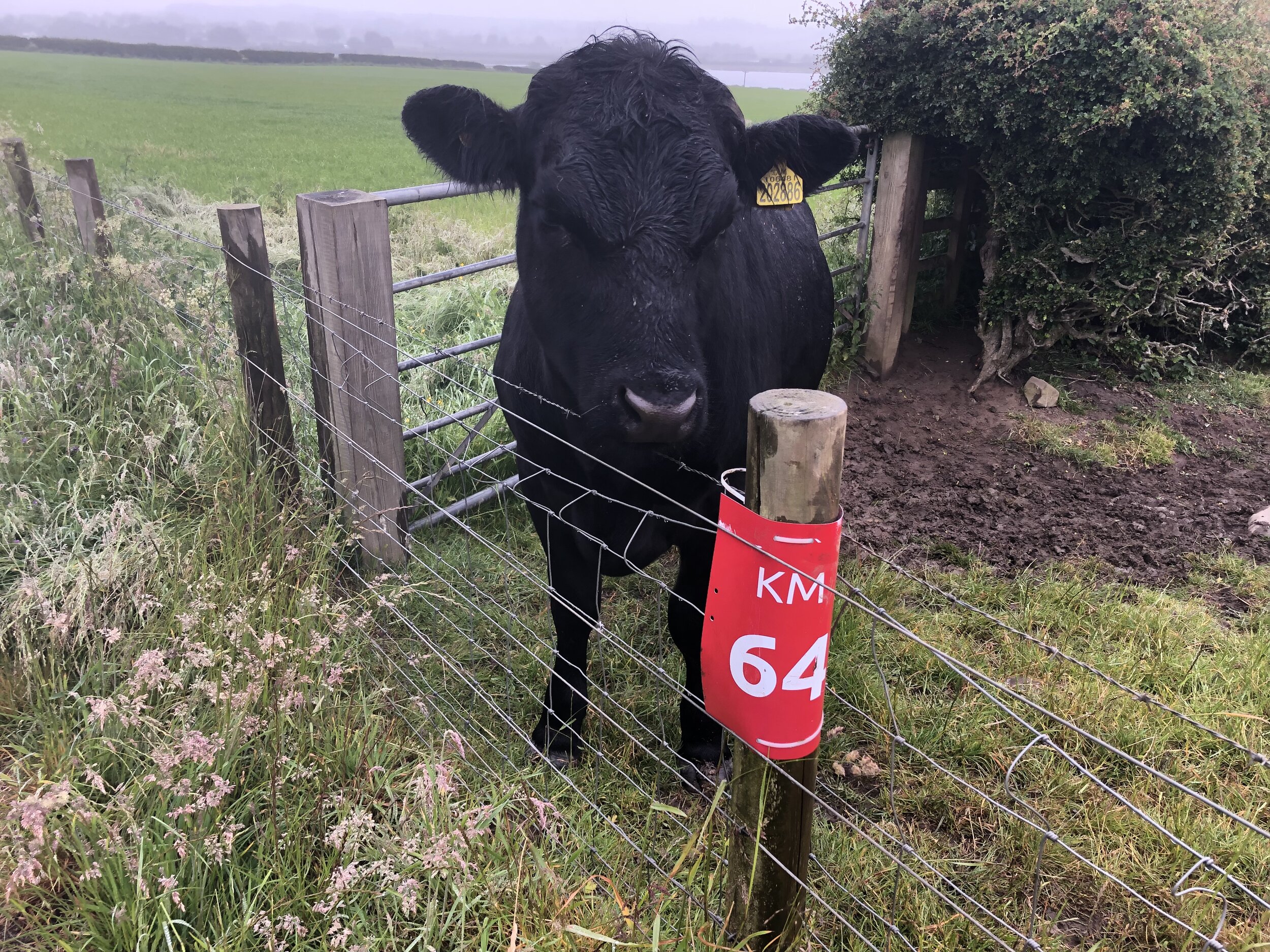
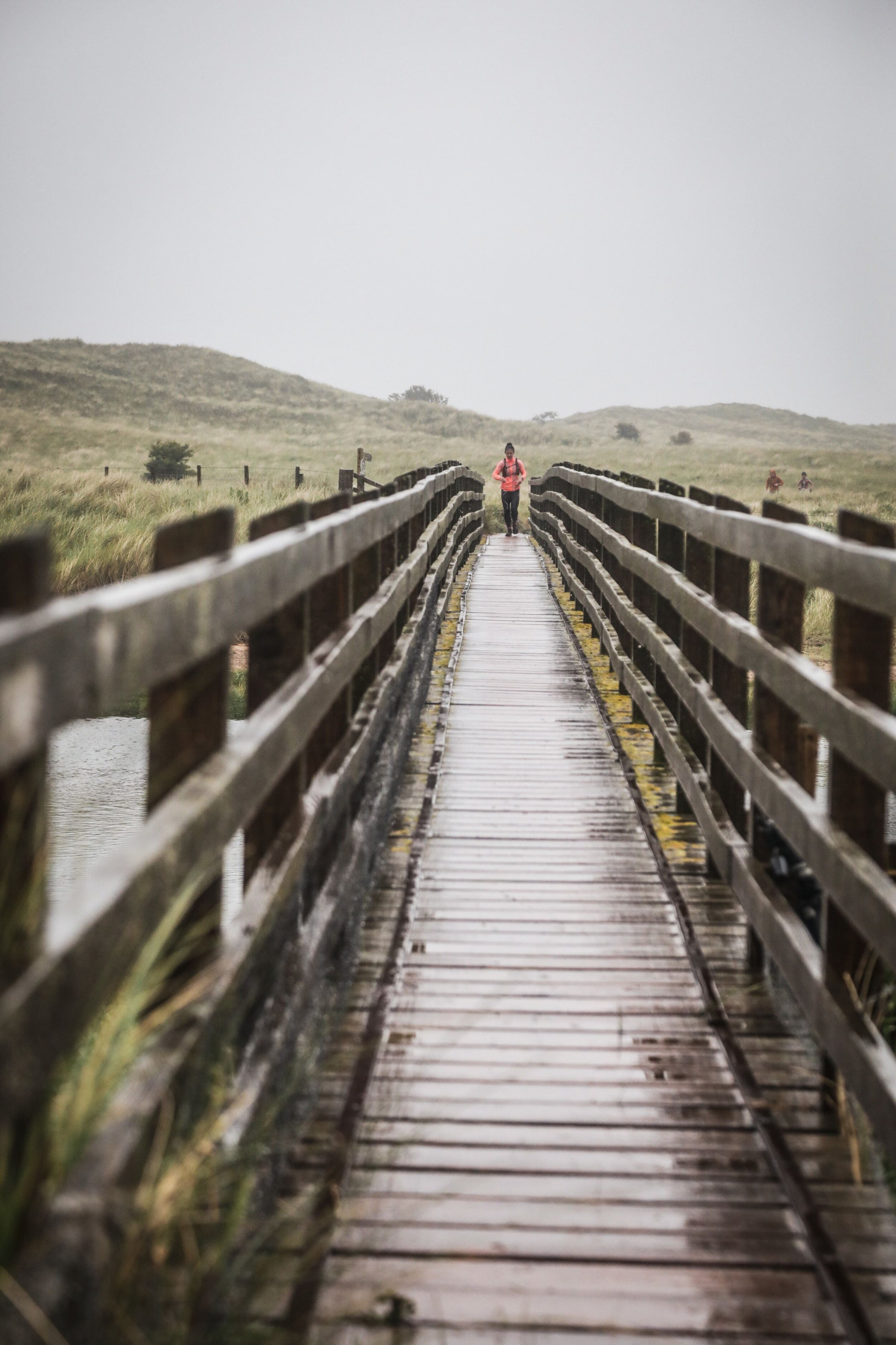
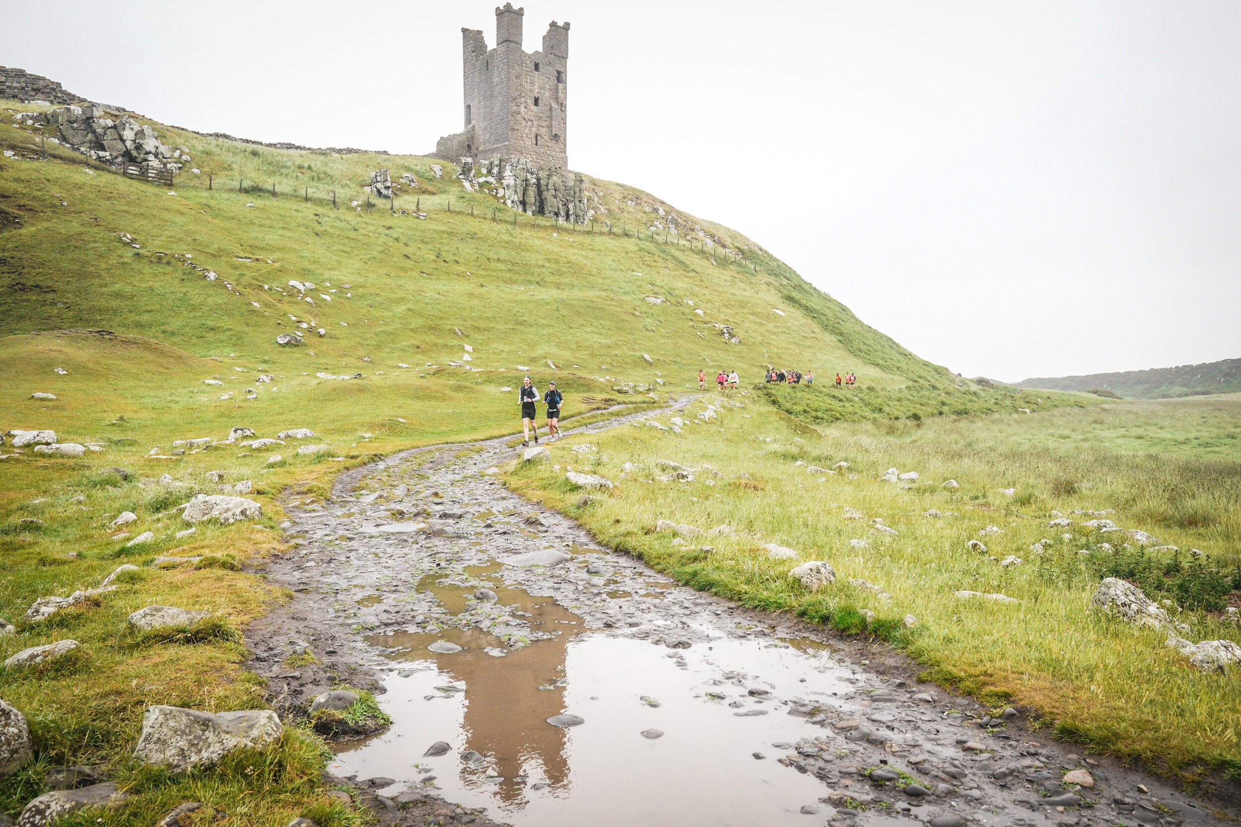
It was tough. Most of the elevation was in the first 35k, with a long slog up and down the Simonside Hills. By the end of that section my thighs had tightened up and my slow running become a fast walk. The weather didn’t help either. The whole day had low grey clouds with constant drizzle. I changed my socks for dry ones after the hills but nothing could stay dry for long.
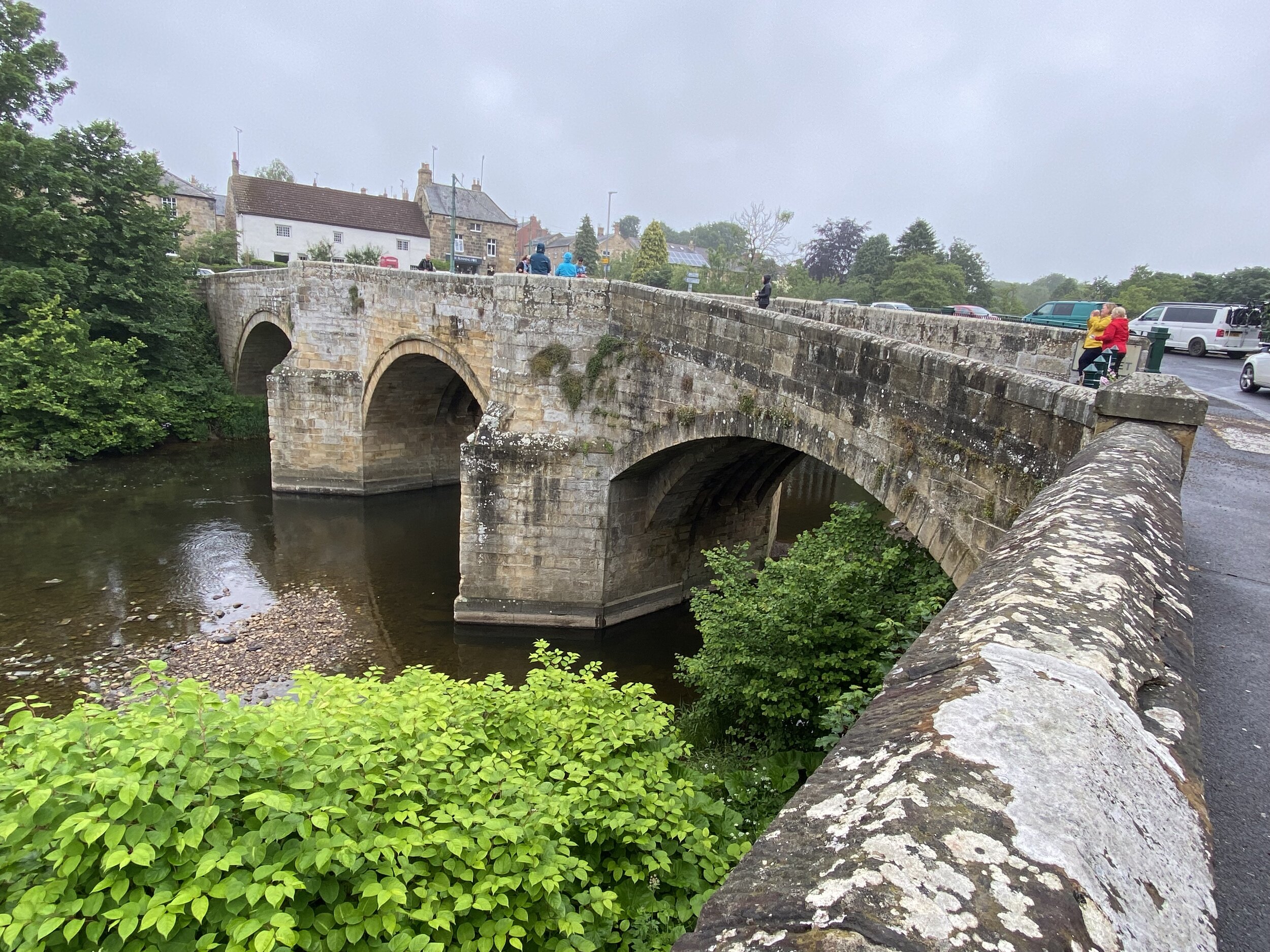
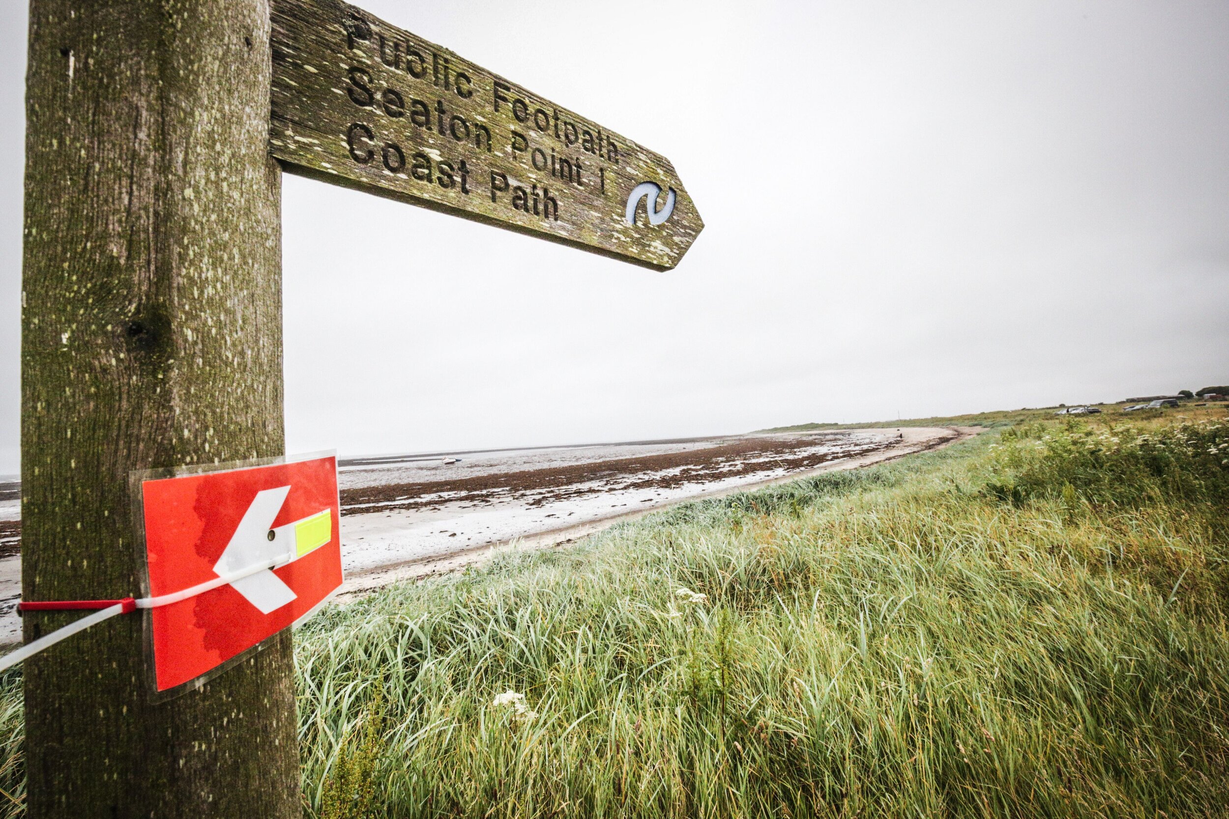
The countryside was beautiful and likely much more so if it had been sunny. The route, mostly following St Oswald’s Way, took in forest, track, rivers, pretty villages and coastal paths. The coastal section would likely have been a highlight. By the time I got there is was getting dark so I didn’t see much of it. Although I always choose the 1 day non-stop option for these events, anyone doing the 2 day option would have seen the best of the coast.
My low point was at midnight on the National Trust land at Newton Links. It felt like high exposed moor but I only realised that it was next to the sea when I looked at the map the next day. It was completely dark, raining a lot and no other runners in sight. By now I’d already completed 88k and there was no stopping now. It still hurt though.
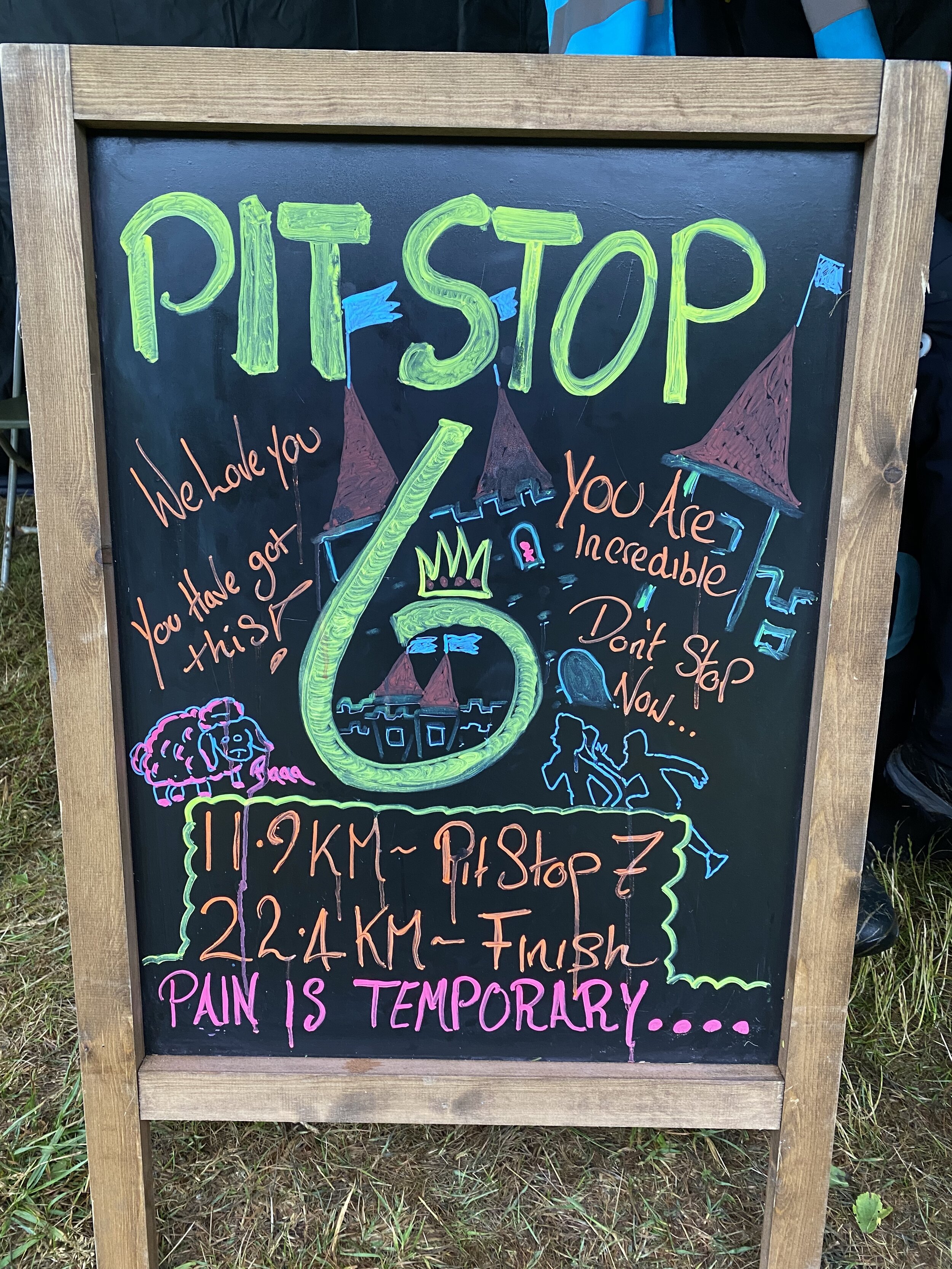
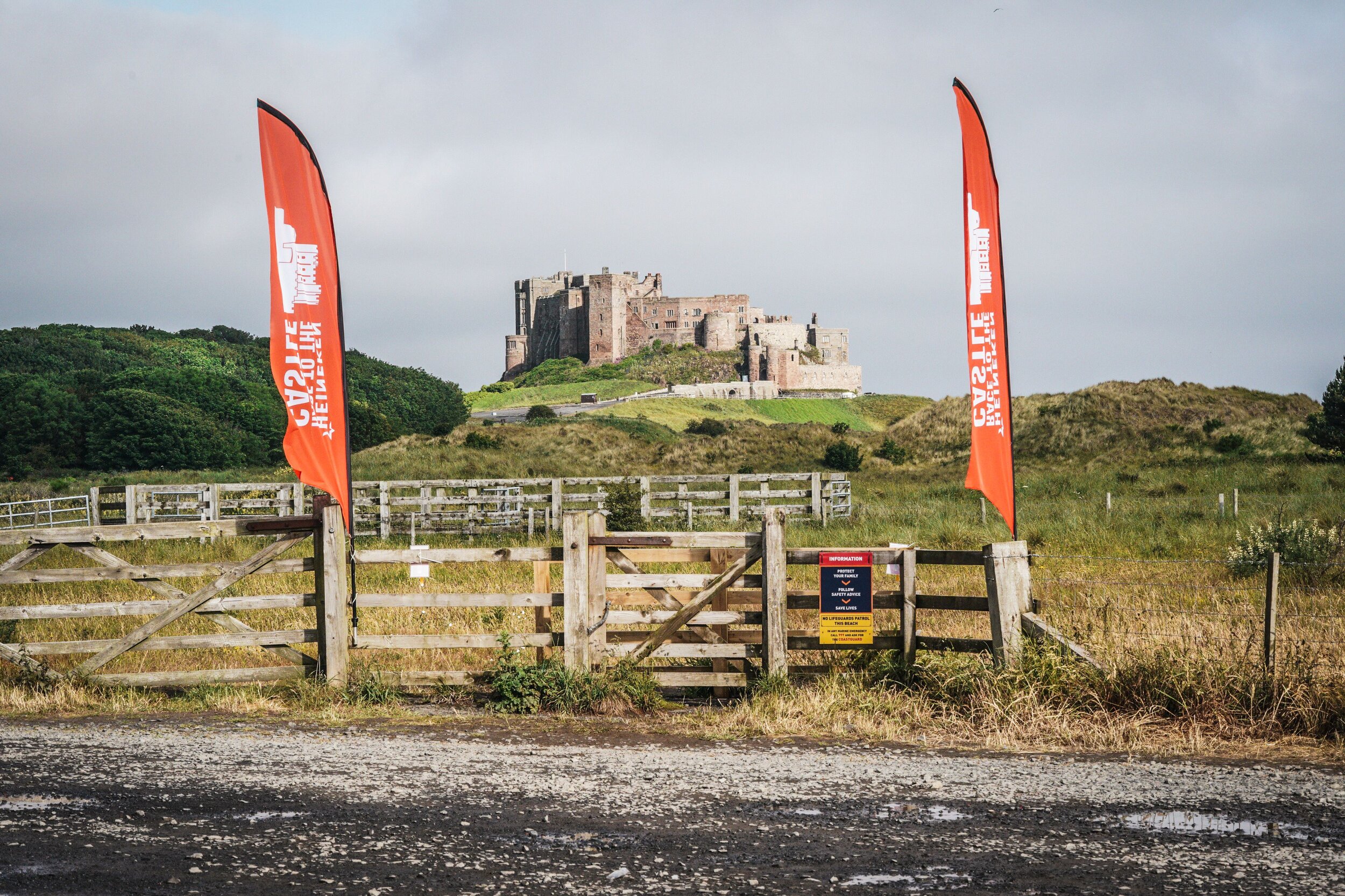
From the final pit stop at Beadnell I’d got some new motivation. Timea followed closely in the car and fed me cookies and Lucozade to keep up my energy. As Seahouses approached there was more streetlighting and people around. After Seahouses the route took an inland curve down a quiet country lane. From 97k Bamburgh Castle was in sight, lit up in the distance. I passed the castle at 99k with the final 1k along the coastal road to the finish line.
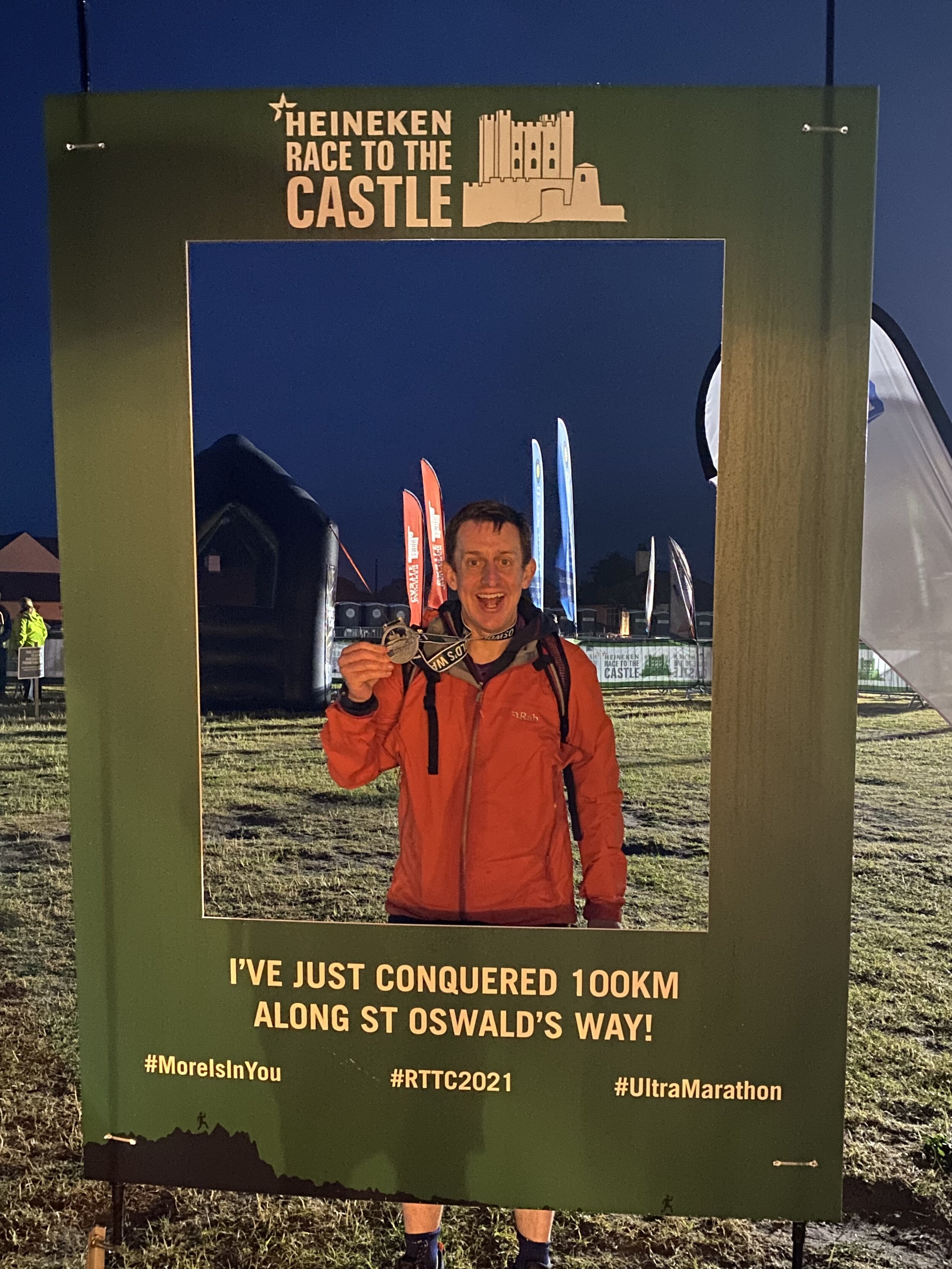
At 17 hours 46 minutes, I was 13 minutes off my 100k PB. I was more that happy with that though as this was much tougher than Race to the Stones. I now had the medal to complete the set of 4.
When you’re finishing an ultra on your own late at night it’s easy to think you’re the last to finish. There were still a lot of people coming in as we drove back to the hotel and even some when we got up the next morning. This has definitely proven that Race To The Stones wasn’t my 100k fluke. I’m not in a rush to do any more any time soon though. 50ks will do me for a while.
Thank you to the Threshold Crew for another very well organized event. Thanks especially for my awesome wife who is my personal support crew on the runs. Seeing her every 10k along the route and at the finish line is a big motivation. The cookies and pasties that she brings also help too :-)
Some photos taken by Sportograf, all others Richard Gower and Timea Kristof.
Start: Kirkharle Courtyard
End: Bamburgh Castle
Related Posts:
Start: Box Hill & Westhumble Train Station, Westhumble Sreet, Westhumble, Dorking RH5 6BT
Finish: Kingston Bridge, Kingston upon Thames, KT1 1QN
Distance: 26.3 km (16.3 miles)
Elevation change: +202m /- 241m. Net -39m
GPX File: get via Buy Me a Coffee
Other routes touched (walk): Mole Gap Trail, Ranmore SCC Circular, North Downs Way, Box Hill Hike, Chessington Countryside Walk, Hogsmill Valley Walk. London Loop, Thames Path
Other routes touched (cycle): NCN 22, 4
Pubs / Cafes on route: The Stepping Stones pub in Westhumble, William Bourne pub in Chessington, several in Berrylands and Kingston centres
Map: OS Explorer Map (146) Dorking, Box Hill and Reigate and OS Explorer Map (161) London South, Westminster, Greenwich, Croydon, Esher & Twickenham
Links: Thames Down Link, Westhumble, Box Hill and Westhumble Station, River Mole, Epsom Common, Horton Country Park, Bonesgate Stream, Epsom and Ewell, Hogsmill River, Berrylands, Kingston-upon-Thames
For the last 5 years, a dawn-to-dusk Winter Solstice walk has become a feature of my hiking calendar. It was half-way through our 2020 winter walk where the idea for a dusk-to-dawn Summer Solstice was formed. The idea was simple; find a point-to-point route that we can start at sunset and arrive at the end-point at sunrise.
In the planning stage the obvious route was the Avebury to Stonehenge route described in Andy Bull's Pilgrim Pathways book. At 27 miles it was too far for my walking friends. On hunting for a shorter walk I landed on the Thames Down Link. This is a 16 mile path connecting the North Downs Way at Westhumble to the Thames Path at Kingston-upon-Thames. I'd crossed a part of it recently on the Chessington Countryside walk and was keen to return.
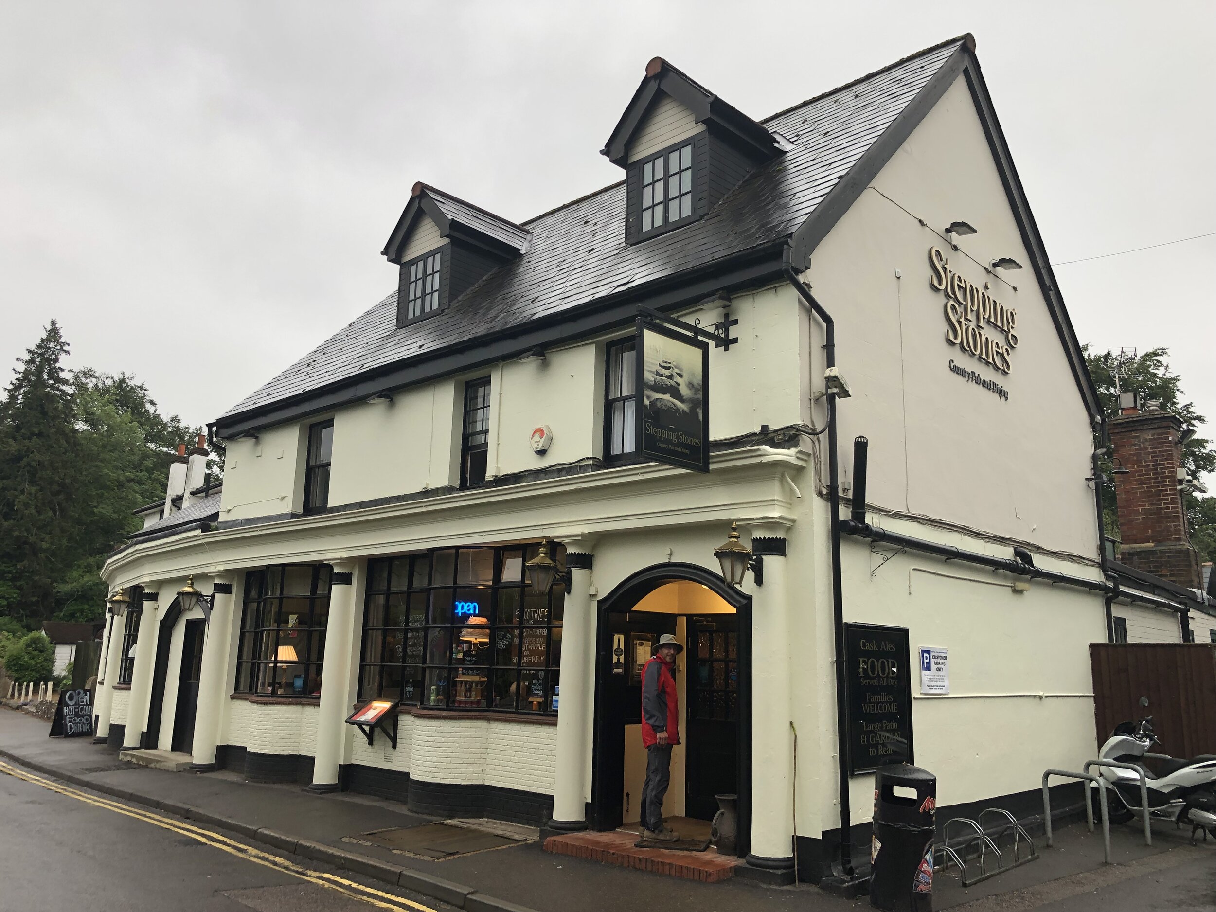
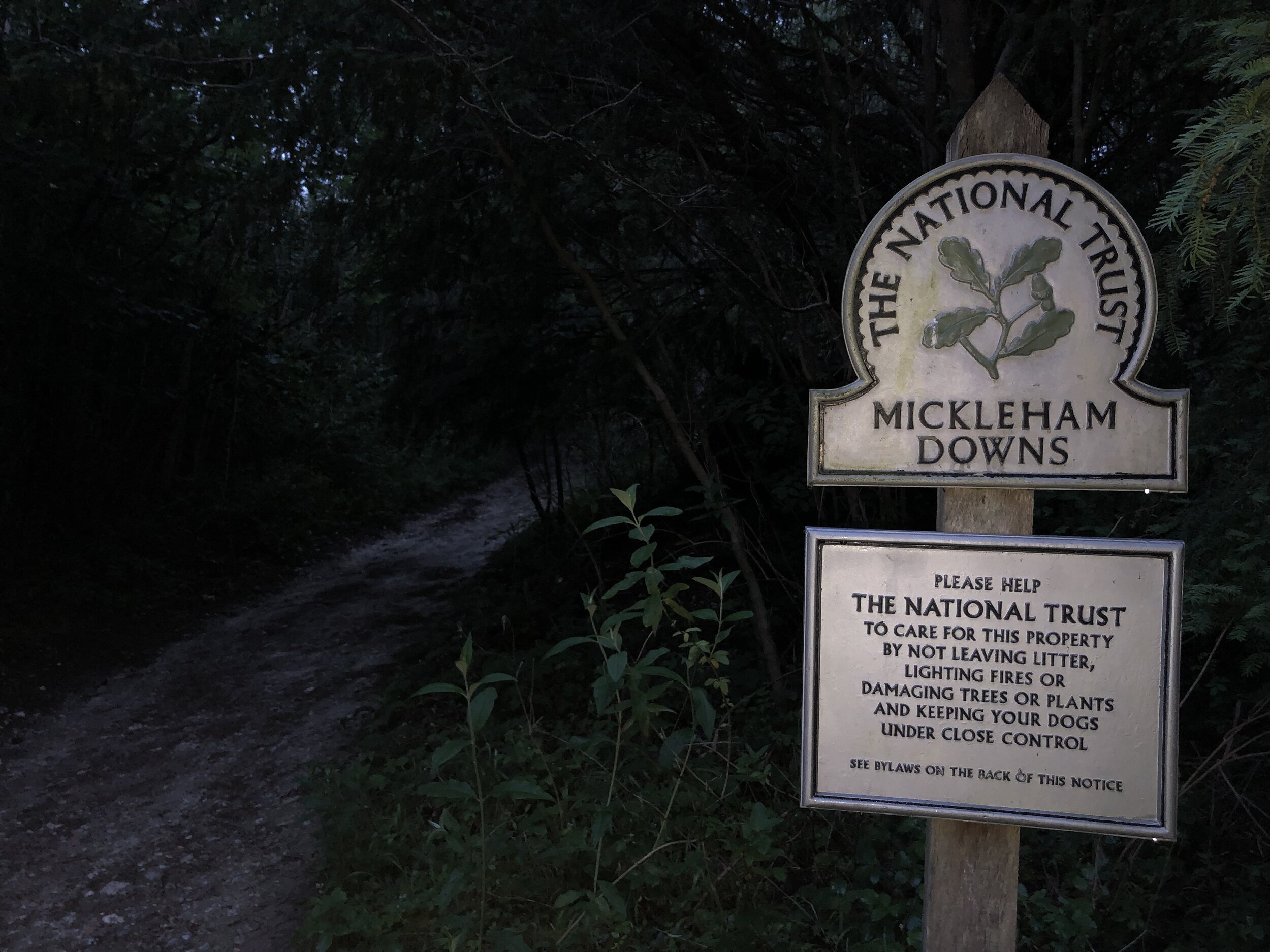
So, on the closest Saturday night to the Summer Solstice, Brian and I arrived at Box Hill and Westhumble station and headed north. The first section was simple: a 50 metre walk to the Stepping Stones pub where we had a table booked at 20:00 for a pre-hike dinner. It was still light when we left the pub but fading fast and the 21:22 sunset arrived as we climbed up to Mickleham Downs.
The weather forecast for the evening looked grim, a continuation of a lot of rain through the previous week. We prepared for the worst but it turned out to be a dry evening where we were. My wife called at 22:30 to check we weren't already lost and soaked. It was chucking it down where she was but perfectly dry on the trail. The sky was clear but a lot of the trail was in narrow wooded paths so we were glad of the several torches that we took along.
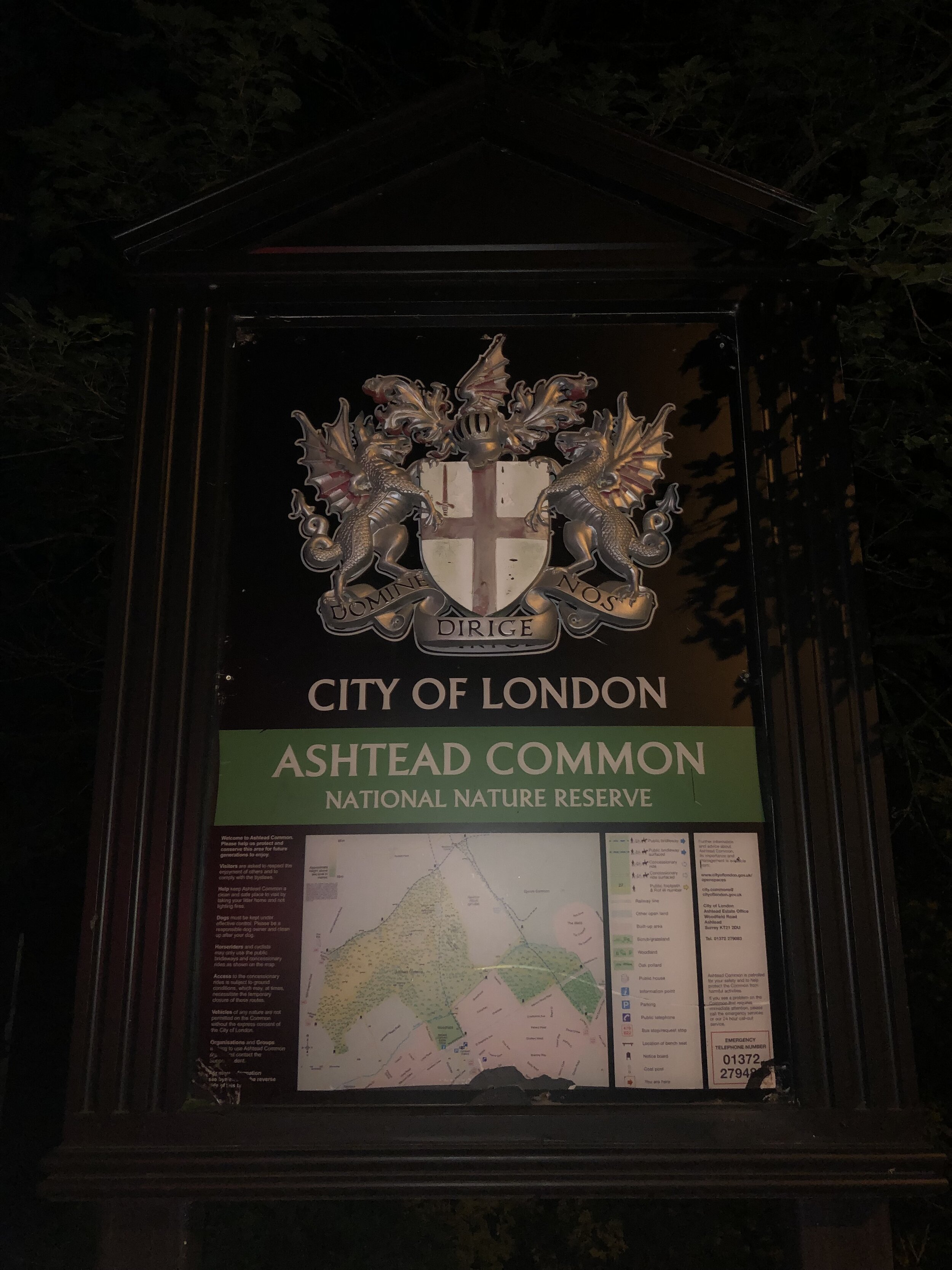
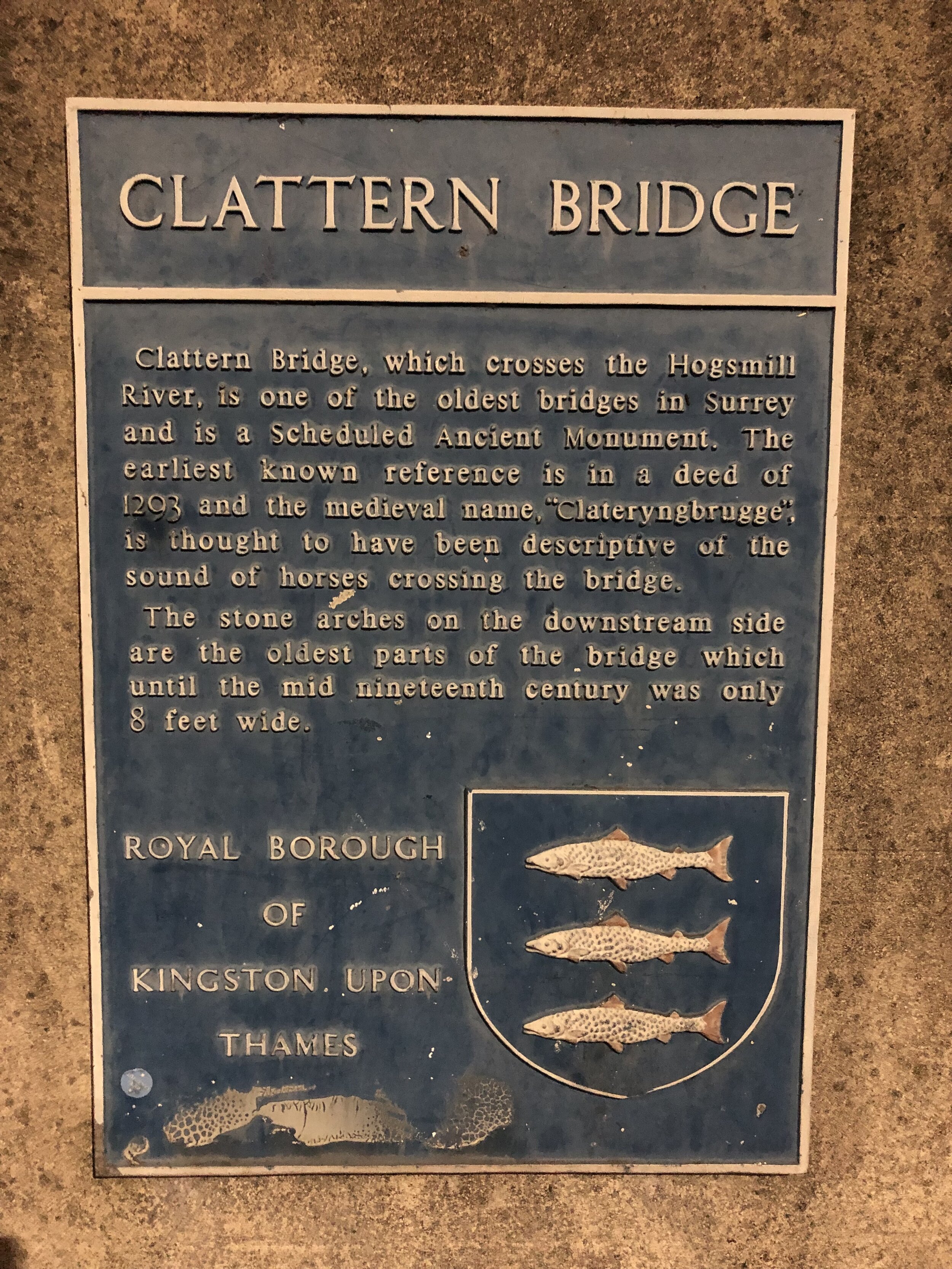
The route follows mostly countryside paths with only a few busy roads to cross. If we had gone in the daytime I'm sure the photos would have been impressive, but we mostly only saw dark trees. Nonetheless, it was a quiet, safe route with fairly easy navigation, making it a good choice for a night hike.
The consequence of walking at night is a lack of open cafes and pubs to stop for a rest. We had taken enough food and water, but it did mean that we made a lot faster progress than a day-time trip where we would have stopped for longer. We arrived at the Thames at Kingston at 03:00, a full 1 hour and 44 minutes before sunrise. I had hoped to have taken a sunrise photo from the Thames bridge but neither of us were up for hanging around long enough for sunrise. Instead, we drove back to Westhumble to pick up my car and returned to our respective homes ready to see sunrise from the garden.
As a first Summer Solstice, it was everything we hoped for and it's likely that this will also be an annual event. Our main learning is that we'll need a longer one next time if we're going to arrive at sunrise. Stonehenge 2022?
Significance: Highest peak in London Borough of Hillingdon
Member of: N/A
Parent Peak: Haddington Hill. NHN = Bushey Heath
Historic County: Middlesex (of which Bushey Heath is the County Top)
Elevation: 134m
Date “climbed”: 5th June 2021
Coordinates: 51° 36' 47'' N, 0° 24' 15'' W
Nearest Station: Northwood (Metropolitan Line): 1.9 km
On route of: N/A. The London Loop is 0.6 km to the north-west
Coal Duty Post: 51
Map: OS Explorer Map (173) London North, The City, West End, Enfield, Ealing, Harrow & Watford
Links: Wikipedia (Hillingdon), Peakbagger, Hillbagging
The high point of Hillingdon is marked by a well-maintained Coal Duty Post. It’s a 0.6 km diversion from the London Loop via Oxhey Woods. Alternatively it’s an east drive-by, accessible from either the south end of Woodside Walk or the North End of Potter Street Hill
View to West London and the Wembley arch from Bentley Priory Open space
Start: Stanmore Common Car Park, HA7 3HQ
Finish: Oxhey Woods Car Park, Oxhey Drive South, Watford, HA6 3EX
Distance: 9.2 km (5.7 miles)
Elevation change: + 103m / - 120m. Net -17m
GPX File: get via Buy Me a Coffee
Other routes touched (walk): Bentley Priory Circular Walk
Other routes touched (cycle): N/A
London Coal Duty Posts: 50, plus 49 and 51 are just off the route
OS Trig Pillar: TP6393 - The Kiln
Pubs / Cafes on route: The Case is Altered, Old Redding, Harrow, HA3 6SE
Map: OS Explorer Map (173) London North, The City, West End, Enfield, Ealing, Harrow & Watford
Guidebook: The London Loop: Recreational Path Guide
Links: Cycling The London Loop, London Loop - Transport for London, London Loop - Wikipedia, London Loop - Long Distance Walkers Association
- Stanmore Common, Bentley Priory Museum, Harrow Weald Common, Grim’s Dyke, South Oxhey, Oxhey Woods
The latest of our short walks along the London Loop took us from Stanmore Common to South Oxhey. As with any trip on the London Loop, Colin Saunders’ book is the definitive guide so I’ll leave it to that book to provide the route description.
Of particular interest to us (well me, the wife comes for the walk) were the additional things to bag along the way:
The WW2 Pill Box on Bentley Priory Open Space
The Kiln OS Trig Pillar on Harrow Weald Common
The summit of Harrow Weald Common (150m)
Coal Duty Post 50: sometimes visible from the path but obscured by bushes when we were there.
Coal Duty Post 49 and 51: Just off the route, but we did them as a drive-by on route to the start.
The London Borough High Point of Hillingdon: Just off the route, but we did it as a drive-by on route to the start.
Next sections of the London Loop:
Clockwise: Scratchwood to Stanmore Common (coming soon)
Anti-clockwise: South Oxhey to Hill End
Protected view of St Pauls from Kenwood House
Start & Finish: Hampstead Heath Station, London, NW3 2QD
Distance: 9 km (5.6 miles)
Elevation change: +/- 144m
GPX File: get via Buy Me a Coffee
Other routes touched (walk): River Fleet Walk
Other routes touched (cycle): None
Pubs / Cafes on route: Several on the junction of Highgate Road and Swain’s Lane and also on Highgate Hill
Map: OS Explorer 173 London North
Links: Hampstead Heath, Hampstead Heath Station, Highgate Cemetery, Highgate, Kenwood House, London’s Protected Views
For our latest Greater London Boroughs High Points walk we ticked off Islington, Haringey and Camden. All three can be reached by a 9km circular walk through Hampstead Heath and the edge of Highgate Cemetery. Whether you’re starting from Hampstead Heath Station or East Heath Car Park, you’re near the southern edge of the circuit. Taking an anti-clockwise route, you’ll soon reach Parliament Hill.
Parliament Hill
Significance: N/A
Member of: Protected View of St Pauls and the Palace of Westminster
Parent Peak: Hampstead Heath. NHN = Hampstead Heath.
Elevation: 98m
Date “climbed”: 30th May 2021
Coordinates: 51° 33' 35'' N, 0° 9' 35'' W
On route of: Belsize Walk
Nearest Station: Hampstead Heath (Overground): 0.6 km
Map: OS Explorer 173 London North
Links: Wikipedia, Peakbagger, Protected Views
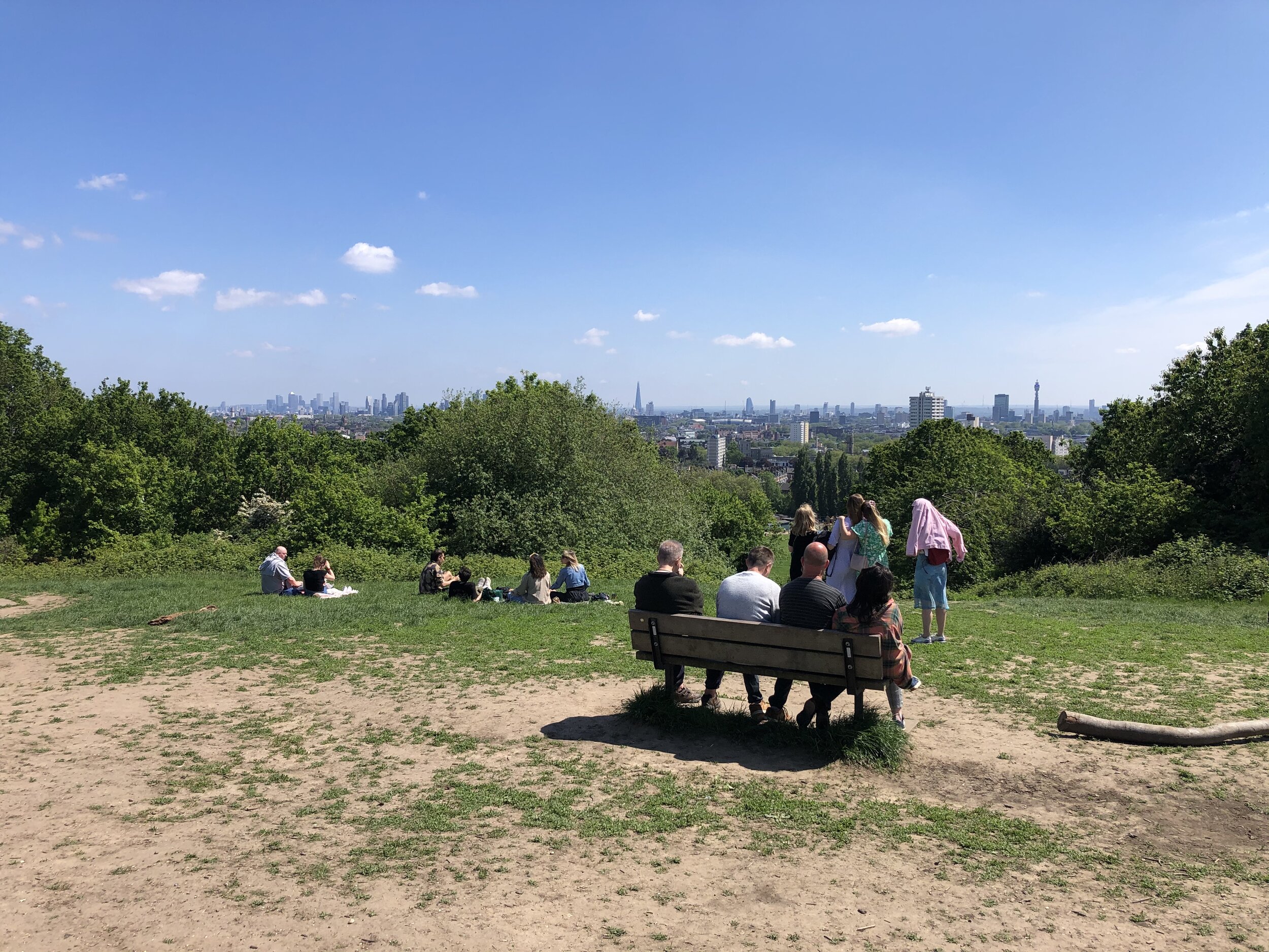
The star of many London skyline scenes in TV and movies, Parliament Hill is a Protected View of St Paul’s Cathedral. Any filming done here must have been done very early in the morning as it’s usual packed with people.
The famous kite-flying hill on Hampstead Heath was known in ancient times as Traitors' Hill, perhaps due to an execution site. It took on its present name in the mid-17th century, when Parliamentarian forces occupied the hill during the English Civil War. You can see the modern Houses of Parliament from its summit. Rumours that the hill has a connection with the Gunpowder Plot to blow up Parliament are intriguing (especially given the former name of Traitors' Hill), but unsubstantiated. source: How London’s Hills Got Their Names.
From the viewpoint, continue walking east, exiting the park at Highgate Road.
Highgate Hill
Significance: Highest point in London Borough of Islington
Member of: N/A
Parent Peak: Haddington Hill. NHN = Highgate
Historic County: Middlesex (of which Bushey Heath is the County Top)
Elevation: 100m
Date “climbed”: 30th May 2021
Coordinates: 51° 34' 9'' N, 0° 8' 32'' W
Nearest Station: Archway (Northern Line): 0.6 km
On route of: N/A. The Capital Ring is 1 km to the north
Map: OS Explorer 173 London North
Links: Wikipedia (Highgate), Peakbagger, Hillbagging
From Highgate road, continue in an anti-clockwise direction, following Swain’s Lane, Chester Road, Raydon Street and north along Dartmouth Park Hill. The stone that marks the highest point in Islington is on the western side of the north end of Dartmouth Park Hill opposite St Joseph’s Parish Church. Look out for the OS Benchmark symbol on the side. This is also the tri-point of the boroughs of Islington, Camden and Haringey.
The 'gate' in the name Highgate refers to a long-lost access route into the Bishop of London's deer hunting grounds on top of the hill. There is an alternative theory, elegantly described on Hidden Highgate, which puts the 'high' part of the name as a corruption of the Saxon word haeg, meaning hawthorn. So Highgate could refer to a gap in a hawthorn boundary. source: How London’s Hills Got Their Names.
Highgate
Significance: Highest point in London Borough of Haringey
Member of: N/A
Parent Peak: Haddington Hill. NHN = Hampstead Heath
Historic County: Middlesex (of which Bushey Heath is the County Top)
Elevation: 129m
Date “climbed”: 30th May 2021
Coordinates: 51° 34' 17'' N, 0° 9' 0'' W
Nearest Station: Highgate (Northern Line): 0.8 km
On route of: N/A. The Capital Ring is 1 km to the north-east
Map: OS Explorer 173 London North
Links: Wikipedia (Highgate), Peakbagger, Hillbagging
From the Islington high point follow Highgate Hill in a north-westerly direction for 600m to reach the high point of Haringey. It’s in the middle of the junction of Highgate Hill, Hampstead Lane and the B519. There’s several cafes and pubs along the way for a half-way point rest.
From the Haringey high point, follow Hampstead Lane west then take the first left onto The Grove and first right onto Fitzroy Park. After ~900m take a right at the junction, and take a footpath back into Hampstead Heath at the end of the road. Continue through the Heath in a north-westerly direction up to the Kenwood House Protected Viewpoint.
Continue west past the front side of Kenwood House to the car park on Hampstead Lane. We took a minor excursion from the park to bag the Hampstead Lane summit (116m elevation) at the Haringey/Camden/Barnet Tripoint. There’s little to see here and nothing to mark the summit so it’s only one for the London peaks completists.
Hampstead Heath
Significance: Highest point in London Borough of Camden
Member of: N/A
Parent Peak: Haddington Hill. NHN = Highwood Hill
Historic County: Middlesex (of which Bushey Heath is the County Top)
Elevation: 134m
Date “climbed”: 30th May 2021
Coordinates: 51° 33' 53'' N, 0° 10' 41'' W
Nearest Station: Hampstead Heath (Overground): 1.7 km
On route of: N/A. Belsize Walk is 1.1 km to the south-east
Map: OS Explorer 173 London North
Links: Wikipedia (Hampstead Heath), Peakbagger, Hillbagging
Hampstead Heath was the highest point of the old County of London Administrative County. This was abolished in 1965 and replaced by Greater London
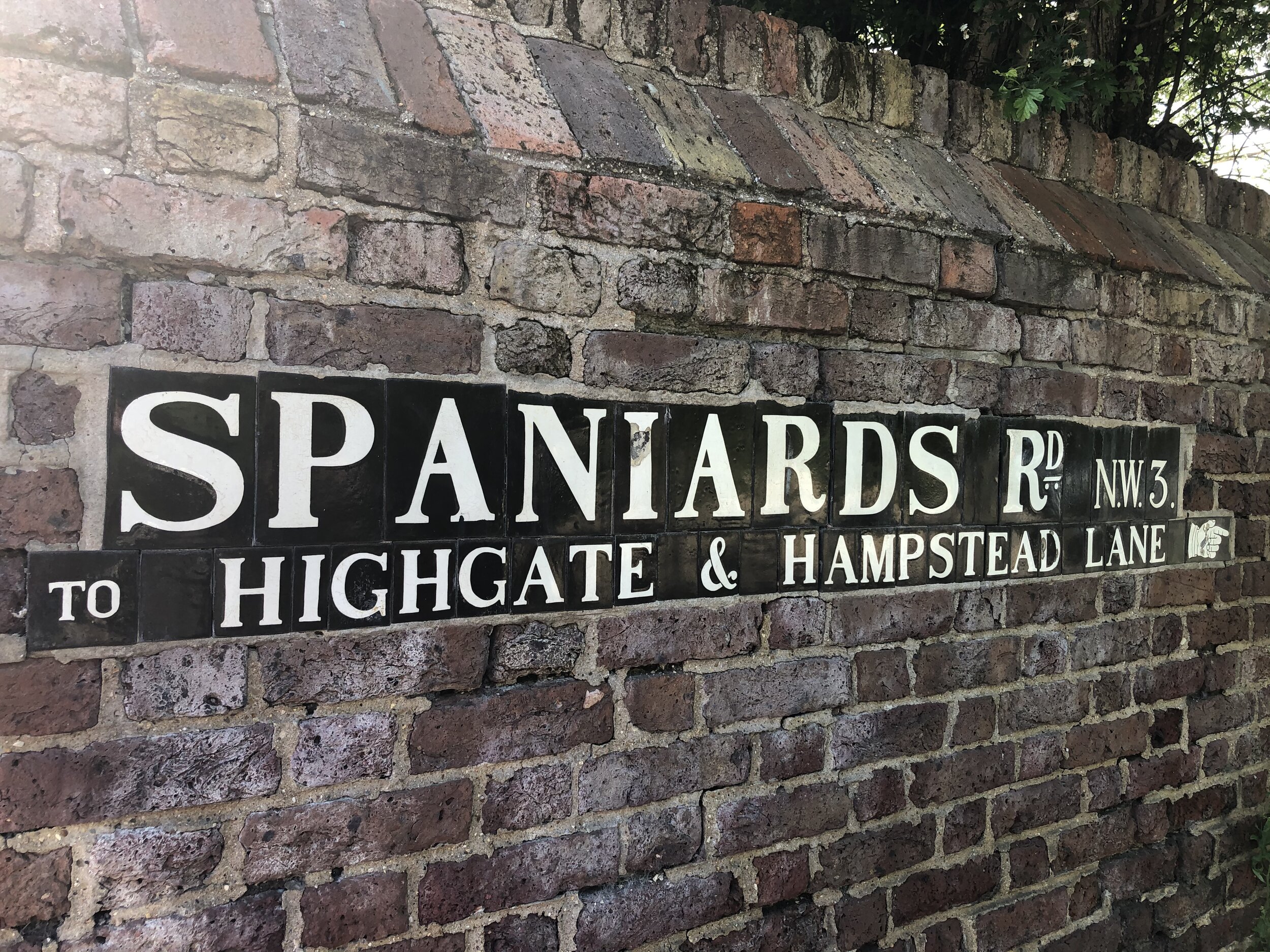
From the Kenwood House Car Park follow the Hampstead Heath boundary path south. Exit the park onto Spaniards Road on the first exit south of the Columbus Drive estate. Continue south along the eastern side of Spaniard’s drive and you’ll soon walk over the high point of Camden. There’s nothing to mark it, but the nearby Hampstead Heath sign (pictured here) is a good proxy.
Re-enter the Heath at the next entrance and follow the paths back down to the mixed bathing ponds and back to the start.
Big Alp, Wandsworth Borough High Point, Putney Heath
Start: Wimbledon Station, The Broadway, London, SW19 7NL
Finish: The Quadrant, Richmond, TW9 1EZ
Distance: 13.3 km (8.3 miles)
Elevation change: +126m /- 142m. Net -16m
GPX File: get via Buy Me a Coffee
Other routes touched (walk): The Capital Ring
Other routes touched (cycle): NCN 4
Pubs / Cafes on route: Several on Wimbledon and Richmond High Streets plus Pen Ponds Cafe near Spankers Hill in Richmond Park
Map: OS Explorer Map (161) London South, Westminster, Greenwich, Croydon, Esher & Twickenham
Guidebook: Capital Ring (National Trail Guides) by Colin Saunders
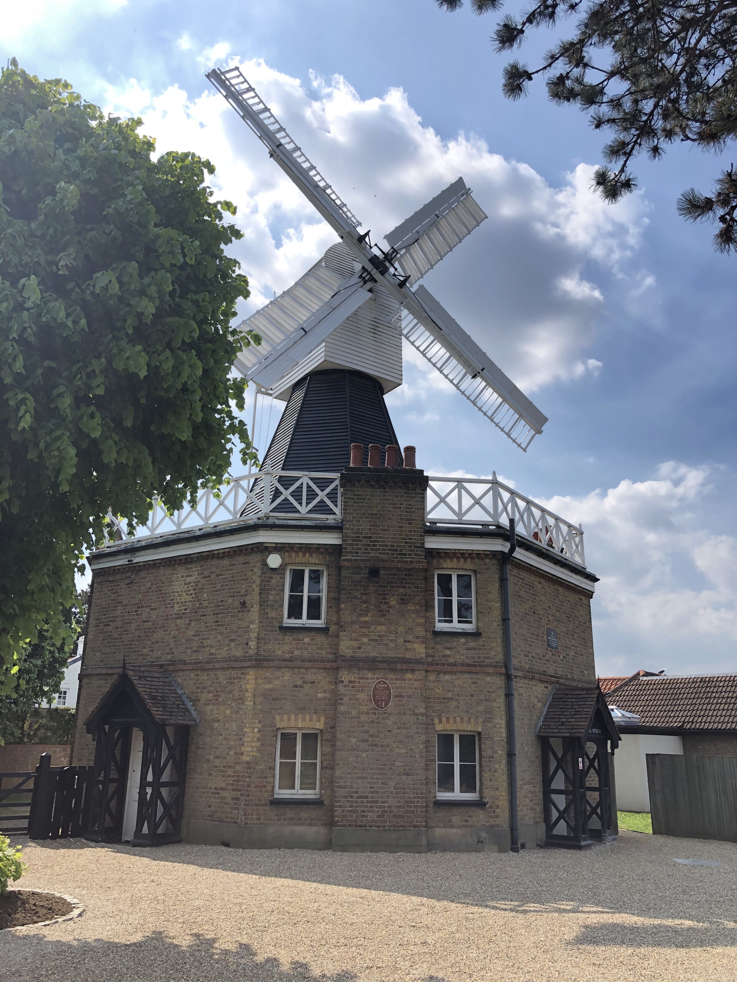
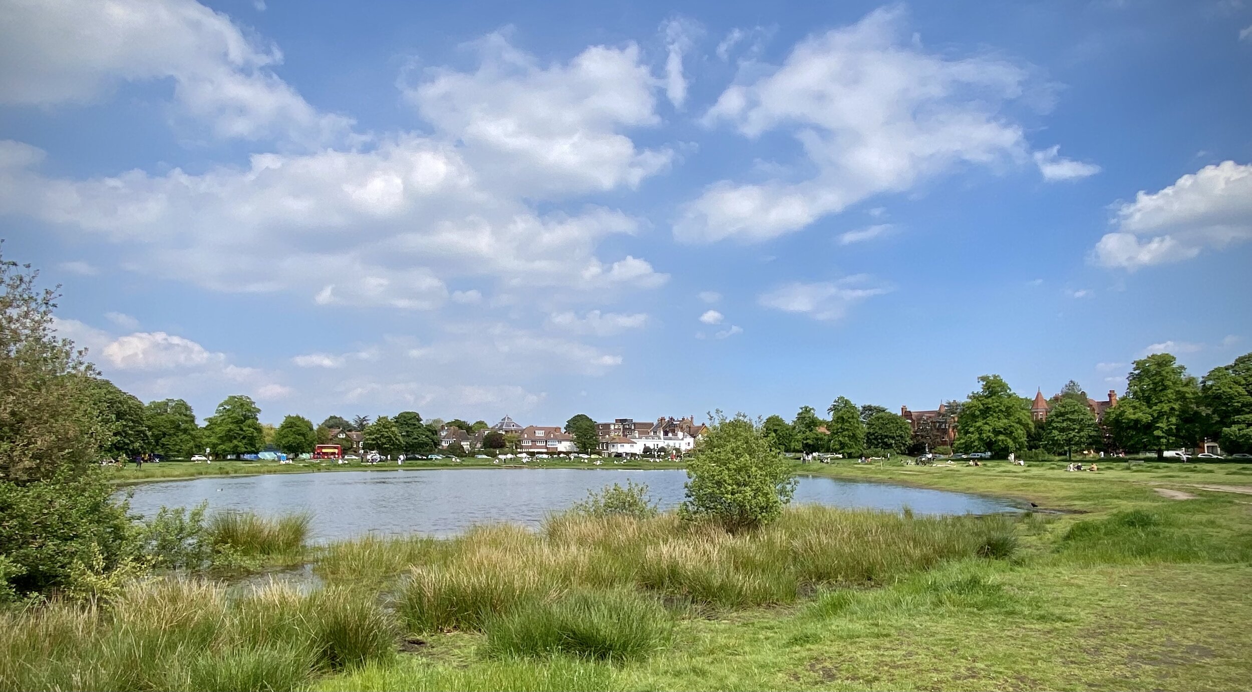
Links: Wimbledon, Wimbledon Station, Wimbledon Common & Putney Heath, Wimbledon Common Windmill, Richmond Park, Richmond, Richmond Station, London’s Protected Views
For our latest Greater London Boroughs High Points walk we ticked off Merton, Wandsworth and Richmond-upon Thames. All three can be reached via a 13km stretch of the Capital Ring with a few minor diversions. As a point-to-point route it’s very accessible as it starts and ends at 2 London Overground stations with a ~25 minute connection between them.
Lauriston Road
Significance: (alternative) Highest point in London Borough of Merton
Member of: N/A
Parent Peak: Botley Hill. NHN = Big Alp, Putney Heath
Historic County: Surrey (of which Leith Hill is the County Top)
Elevation: 55m
Date “climbed”: 29th May 2021
Coordinates: 51° 25' 22'' N, 0° 13' 24'' W
Nearest Station: Wimbledon (South Western Railway, Thameslink): 1.4 km
On route of: N/A. The Capital Ring is 2 km to the north
Map: OS Explorer Map (161) London South, Westminster, Greenwich, Croydon, Esher & Twickenham
Links: Wikipedia (Merton), Peakbagger, Hillbagging
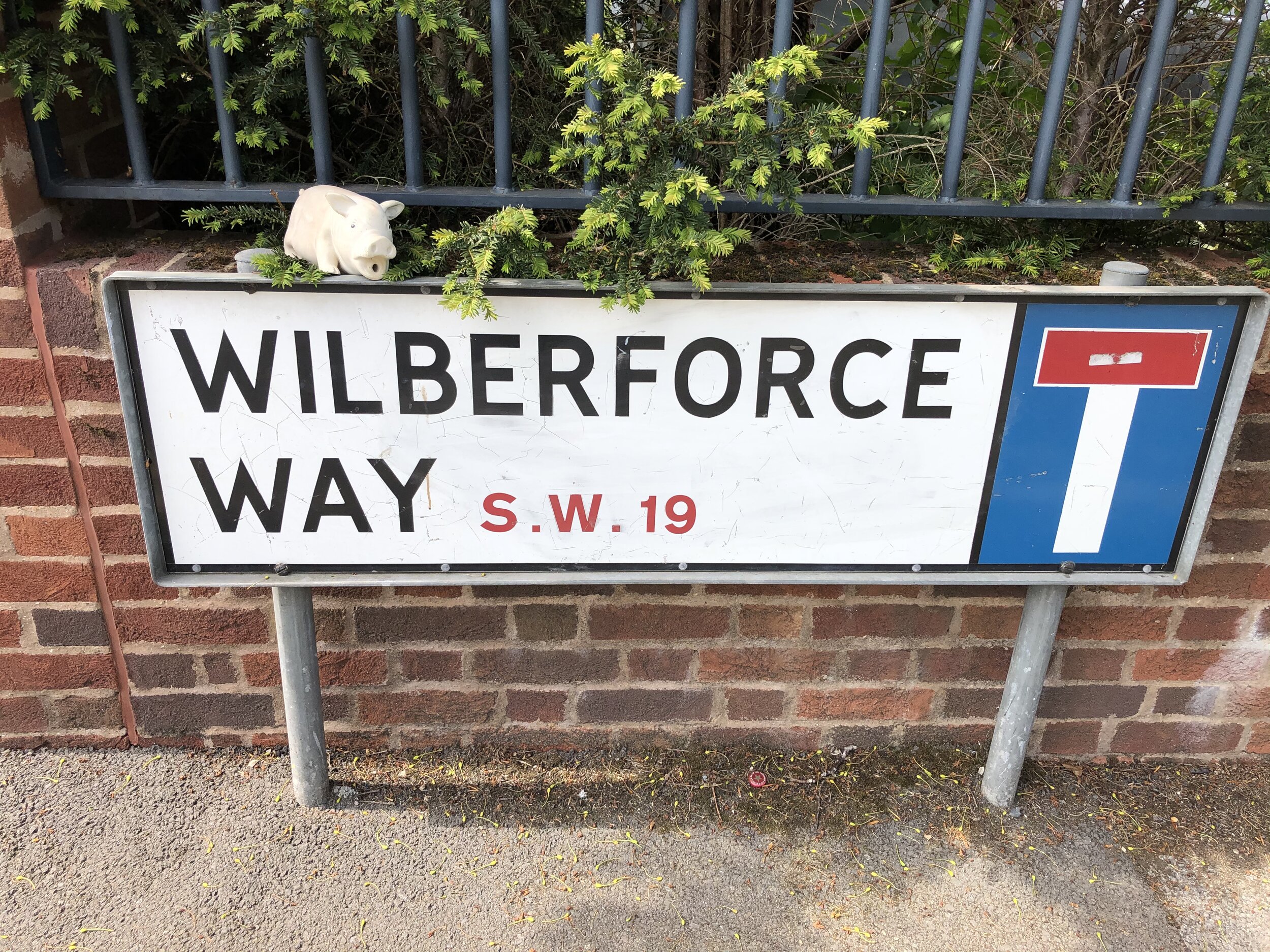
The first of 2 alternative high points for Merton can be found on the way to Wimbledon Common from Wimbledon Station. The unmarked high point is on the north side of Lauriston Road just north of the junction with Wilberforce Way.
Wimbledon Common
Significance: Highest point in London Borough of Merton
Member of: N/A
Parent Peak: Botley Hill. NHN = Big Alp, Putney Heath
Historic County: Surrey (of which Leith Hill is the County Top)
Elevation: 55m
Date “climbed”: 29th May 2021
Coordinates: 51° 25' 58'' N, 0° 13' 27'' W
Nearest Station: Wimbledon (South Western Railway, Thameslink): 2 km
On route of: N/A. The Capital Ring is 0.7 km to the north
Map: OS Explorer Map (161) London South, Westminster, Greenwich, Croydon, Esher & Twickenham
Links: Wikipedia (Merton), Peakbagger, Hillbagging
The Wimbledon Common high point of Merton is ~1 km north of Lauriston Road. You can access it either by the pavement alongside Parkside road or via the parallel footpath on the edge of the common. Look out for the Parkside Road sign opposite the entrance to Calonne Road
Big Alp, Putney Heath
Significance: Highest point in London Borough of Wandsworth
Member of: N/A
Parent Peak: Botley Hill. NHN = Westow Hill
Historic County: Surrey (of which Leith Hill is the County Top)
Elevation: 60m
Date “climbed”: 29th May 2021
Coordinates: 51° 26' 27'' N, 0° 14' 1'' W
Nearest Station: Southfields (District Line): 2.3 km
On route of: N/A. The Capital Ring is 0.4 km to the south
Map: OS Explorer Map (161) London South, Westminster, Greenwich, Croydon, Esher & Twickenham
Links: Wikipedia (Wandsworth), Peakbagger, Hillbagging
Big Alp on Putney Heath is just over 1 km north west of the Wimbledon Common high point. After the underwhelming summits of Merton this at least feels like a real hill. From Big Alp descend through the woods in a south-westerly direction to pick up the Capital Ring at the southern end of Queensmere lake. From here follow the Capital Ring in a westerly direction into Richmond Park.
When you enter Richmond Park at Robin Hood Gate you’re only ~300m from the tri-point of the boroughs of Kingston, Richmond and Wandsworth on the Beverley Brook. I hadn’t researched it at the time otherwise I would have taken to the small diversion to see it.
Further into Richmond Park at Pen Ponds cafe you can make a minor diversion to the summit of Spankers Hill. There’s nothing of interest there, just go to ponder how it got that name.
Richmond Park
Significance: Highest point in London Borough of Richmond upon Thames
Member of: Protected View of St Paul’s
Parent Peak: Botley Hill. NHN = Big Alp, Putney Heath
Historic County: Surrey (of which Leith Hill is the County Top)
Elevation: 56m
Date “climbed”: 29th May 2021
Coordinates: 51° 26' 42'' N, 0° 17' 38'' W
Nearest Station: Richmond (Overground, South Western Railway, District Line): 2.4 km
On route of: N/A. The Capital Ring is 0.2 km to the west
OS Trig Pillar: TP5674 - Richmond Park
Map: OS Explorer Map (161) London South, Westminster, Greenwich, Croydon, Esher & Twickenham
Links: Wikipedia (Richmond-upon Thames), Peakbagger, Hillbagging, London’s Protected Views
After Pen Ponds leave the Capital Ring and take a short cut west through Sidmouth Wood. After leaving the wood continue across Queen’s Road to find the Richmond high point.
Although not the highest point on this trip, the Richmond-upon-Thames high point is the most interesting. There’s an OS Trig Pillar to mark the summit and it’s one of the Protected Views of St Paul’s Cathedral.
From the Trig Pillar continue following the boundary of the park for ~1km, then exit at Cambrian Gate. Head north-west along Cambrian Road, Marlborough Road and Church Road to reach the end at Richmond Station.
On the Nickey Line
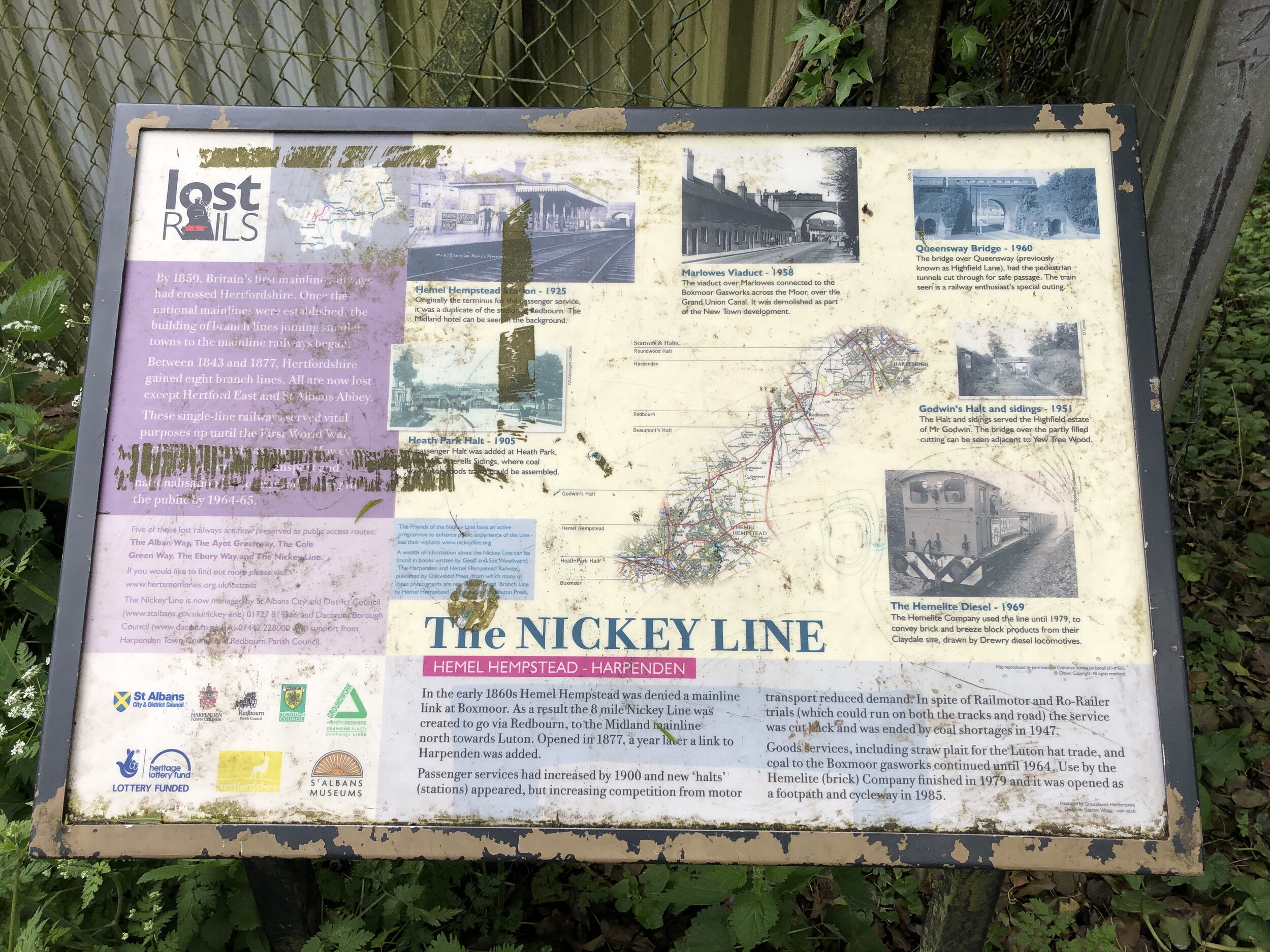
When Dr Beeching cut a large chunk of Britain’s rail network in the 1960s, Hertfordshire had a good share of the impact. The rail passengers’ loss later turned out to be the cyclists’ gain with several very enjoyable routes through the county.
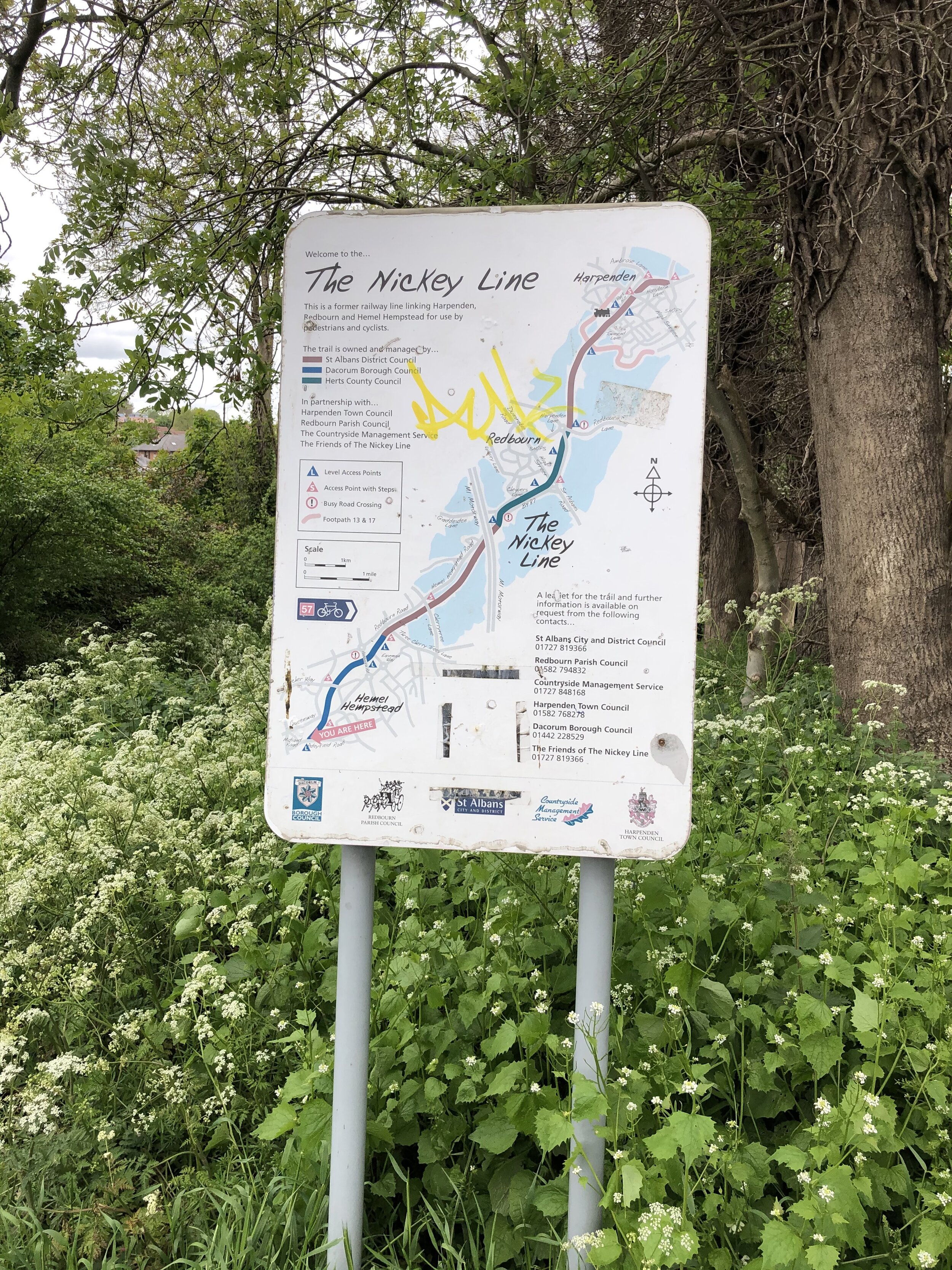
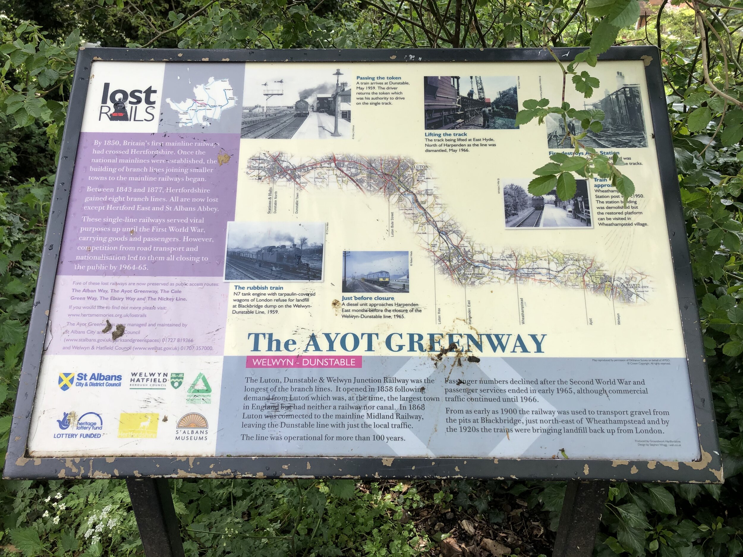
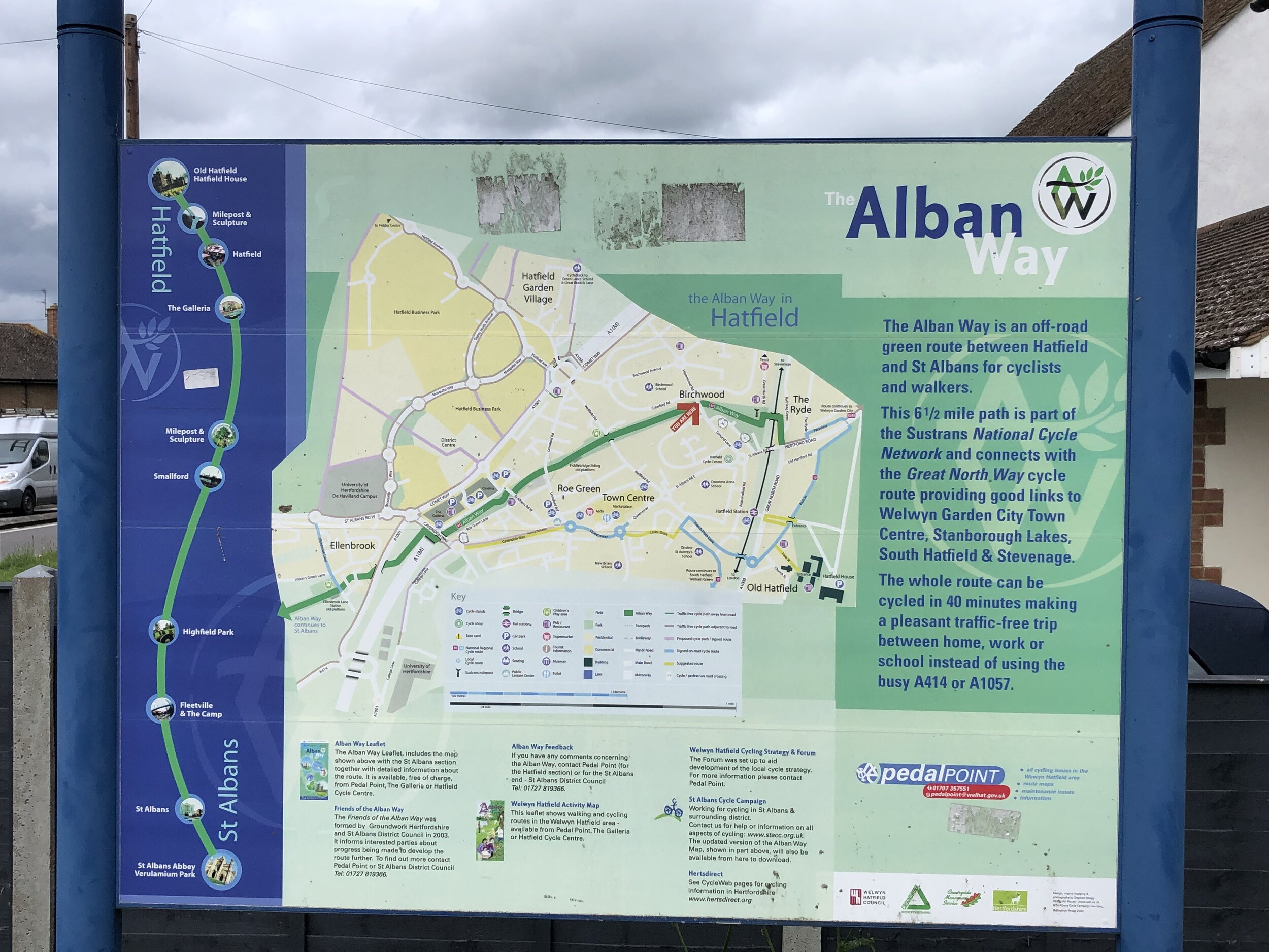
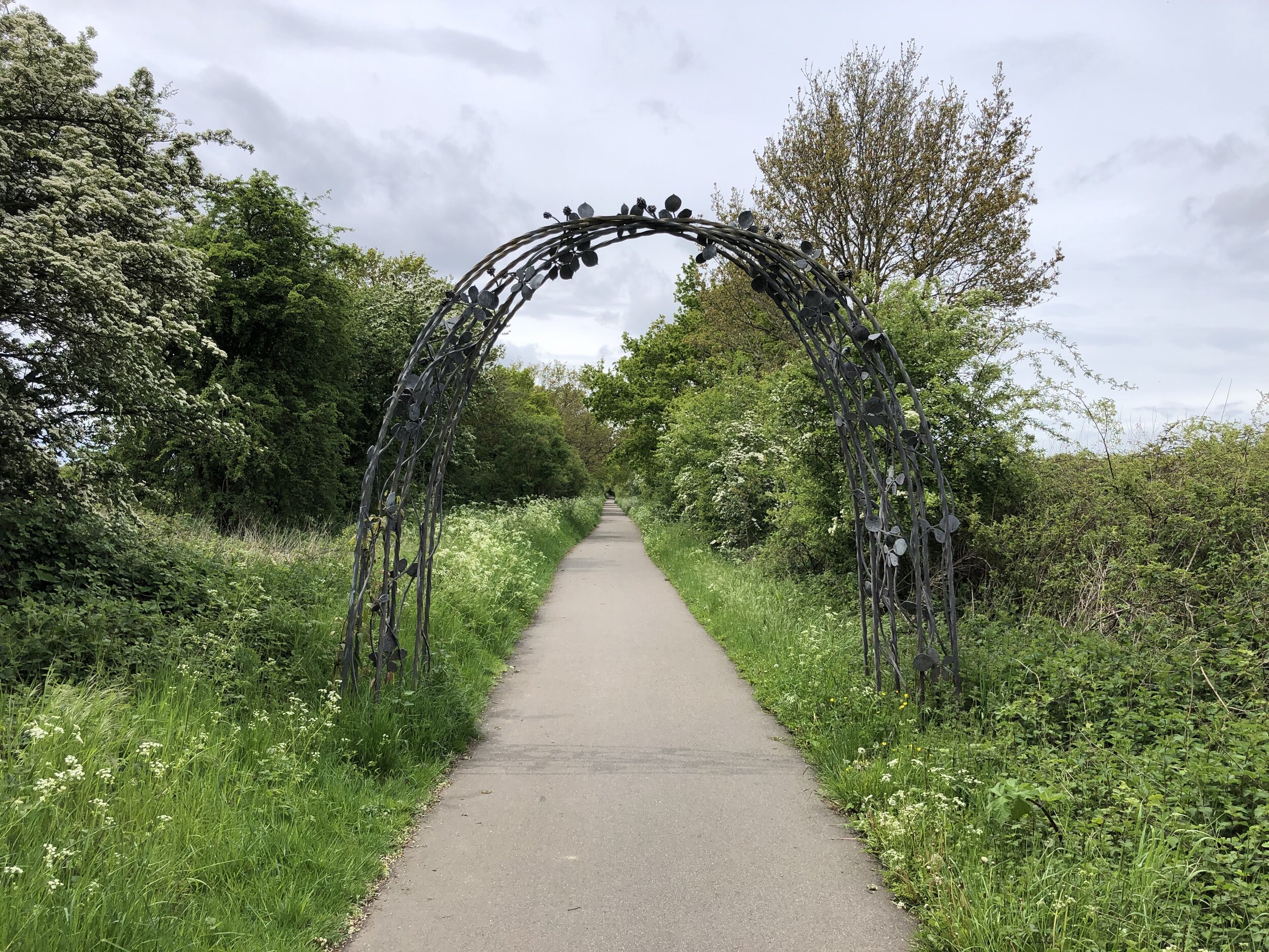
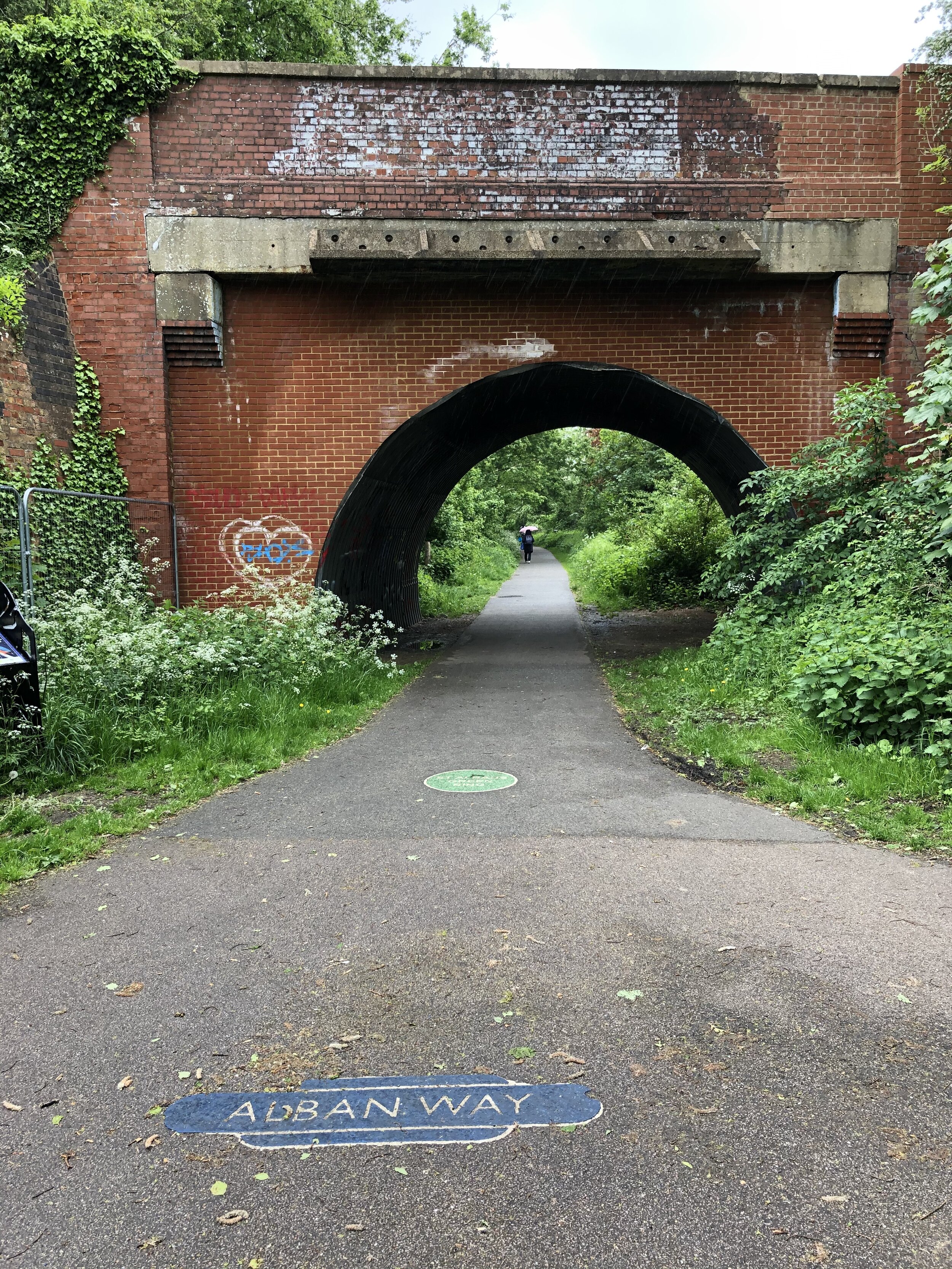
This is a half day circular cycle route that follows three of Hertfordshire’s cycle paths along disused railways. It takes in the Nickey Line, Ayot Greenway and Alban Way. These were formerly the Harpenden to Hemel Hempstead Branch Railway, Dunstable Branch Line and Hatfield and St Albans Railway. Each of the lines have been adopted into the National Cycle Network and have been well restored.
The Lost Rails section of the Herts Memories web site is a great resource for the history of the lines.
Full Route Details
Start & Finish: Nickey Line Start, by The Midland Hotel, Midland Road, Hemel Hempstead, HP2 5BH
Distance: 54.2 km (34 miles)
Elevation change: +/- 364m
GPX File: get via Buy Me a Coffee
Map: OS Explorer Map (182) St. Albans and Hatfield
Cycle Route Elevation
Cycle Route Map
Section 1: The Nickey Line
Start: Nickey Line Start, by The Midland Hotel, Midland Road, Hemel Hempstead, HP2 5BH
Finish: Railway Bridge at Hollybush Lane, Harpenden (OS Grid Ref: TL 13426 15162)
Distance: 11.7 km (7.3 miles)
Elevation change: +94m / -77m (Net -17m)
Other routes touched (walk): Hertfordshire Way, River Ver Trail, Chiltern Way
Other routes touched (cycle): NCN 57, Chilterns Cycleway
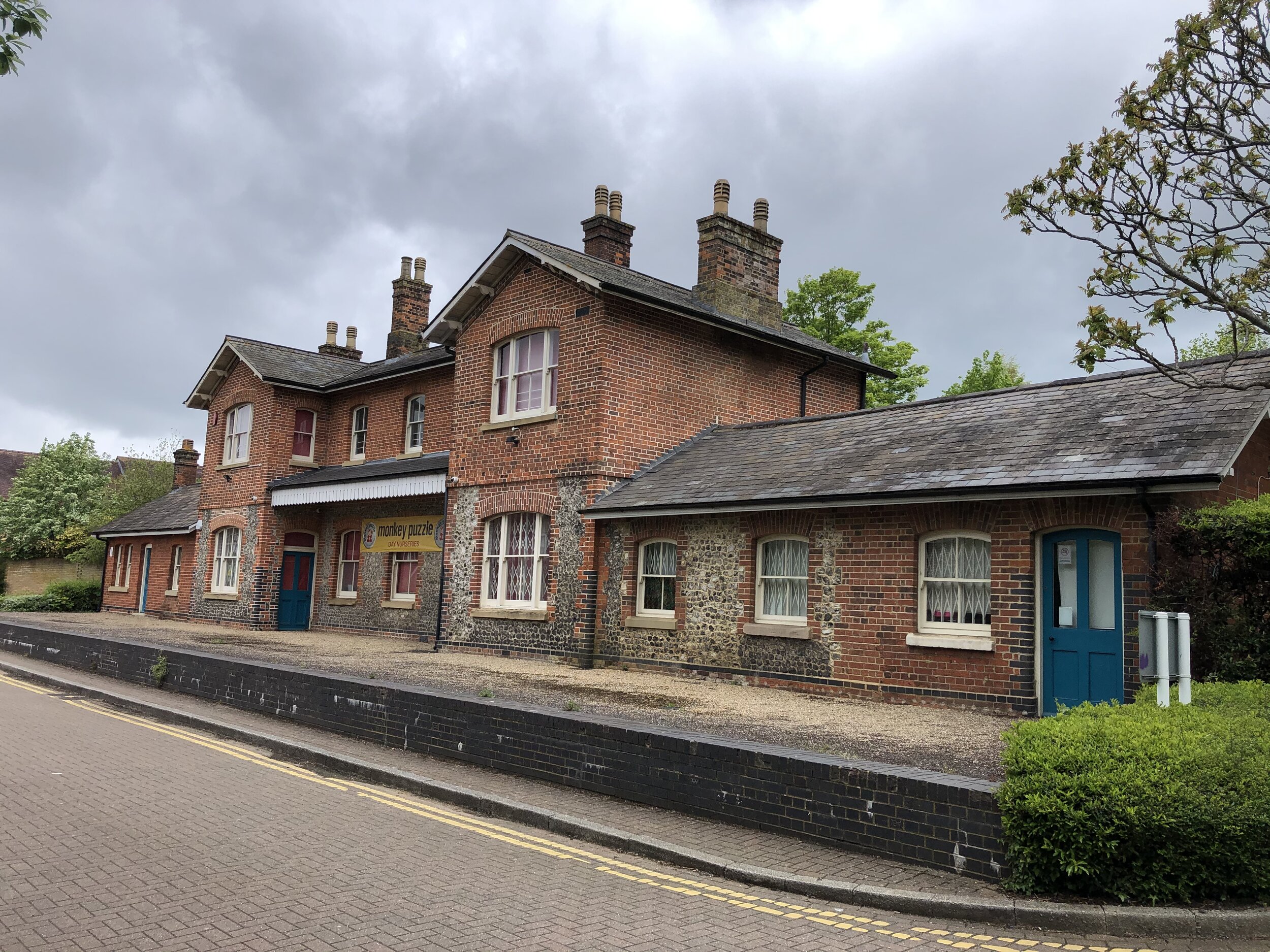
Disused Stations Passed: Hemel Hempsted, Godwin's Halt, Beaumont's Halt, Redbourn, Roundwood Halt
Pubs / Cafes on route: Midland Hotel at the Hemel Hempstead end
Links: Nickey Line (Wikipedia), Herts Memories: Nickey Line, Friends of The Nickey Line, Hemel Hempstead, Harpenden
Although you can start the route at any point on it’s circuit I chose the most westerly point at Hemel Hempstead. The Nickey Line starts where Adeyfield Road crosses over what was the Harpenden to Hemel Hempstead Branch Railway. Here there was a station called Hemel Hempsted which sounds the same, but spelled slightly differently to Hemel Hempstead station (previously Boxmoor Station) to the south-west. The section of the route from Boxmoor to here is now completely missing, covered by housing.
There’s curb-side parking in some of the side streets near the start of the Nicky Line. Alternatively you add a couple of miles and can use the town centre car parks or access via Hemel Hempstead (Boxmoor) station if you’re coming by train.
Once on the Nicky Line, it’s a smooth easy to navigate, route all the way to Harpenden. There’s not much left of the 4 previous stations along the way, but several information signs to show you where they were.
Section 2: The Ayot Greenway
Start: Intersection of Lea Valley Walk and Westfield Road, Harpenden (OS Grid Ref: TL 13883 15861)
Finish: Sherrardspark Wood (OS Grid Ref: TL 22861 13396)
Distance: 11.7 km (7.3 miles) including the extra section of disused railway from Harpenden
Elevation change: +102m / -82m (Net -20m)
Other routes touched (walk): Lea Valley Walk, Hertfordshire Way, WCG 100 Centenary Walk
Other routes touched (cycle): NCN 57, 12, Chilterns Cycleway
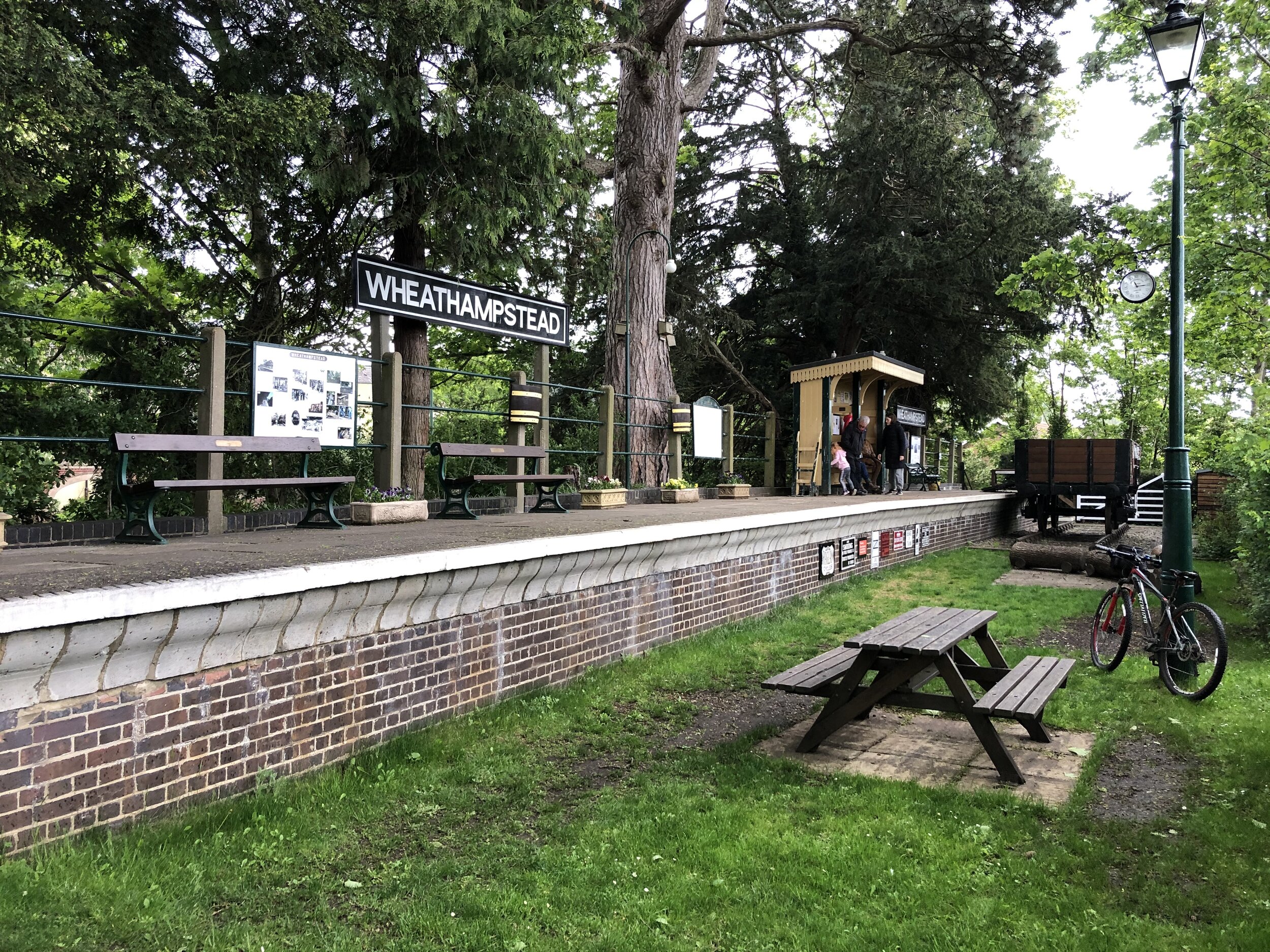
Disused Stations Passed: Wheathampstead, Ayot
Pubs / Cafes on route: Charlie's Cafe Wheathamstead (AL4 8BU) plus several in Welwyn Garden City after the Greenway
Links: Ayot Greenway (Wikipedia), Herts Memories: Ayot Greenway, Dunstable Branch Line, Wheathampstead, Ayot Green, Ayot St. Peter, Sherrardspark Wood
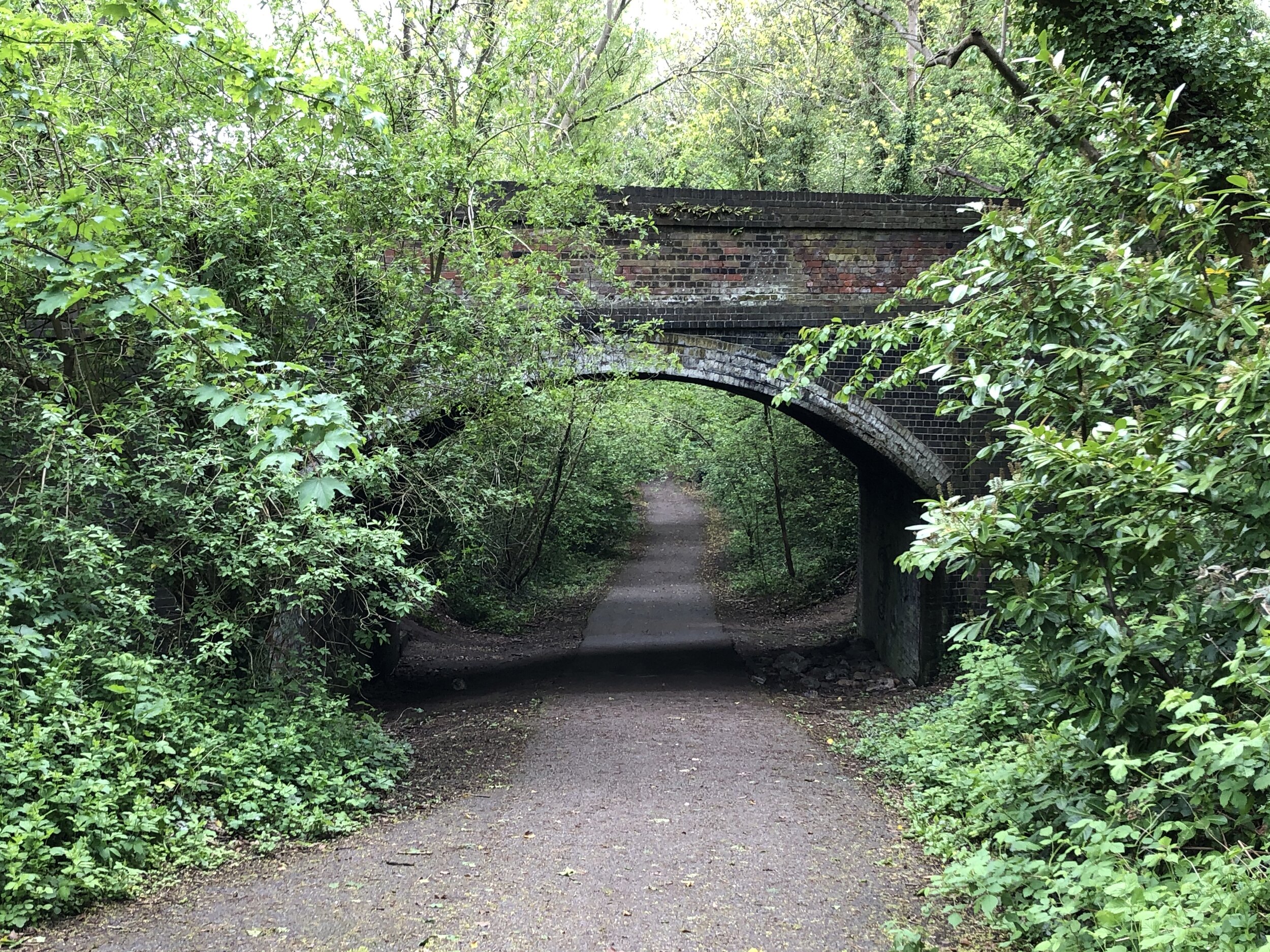
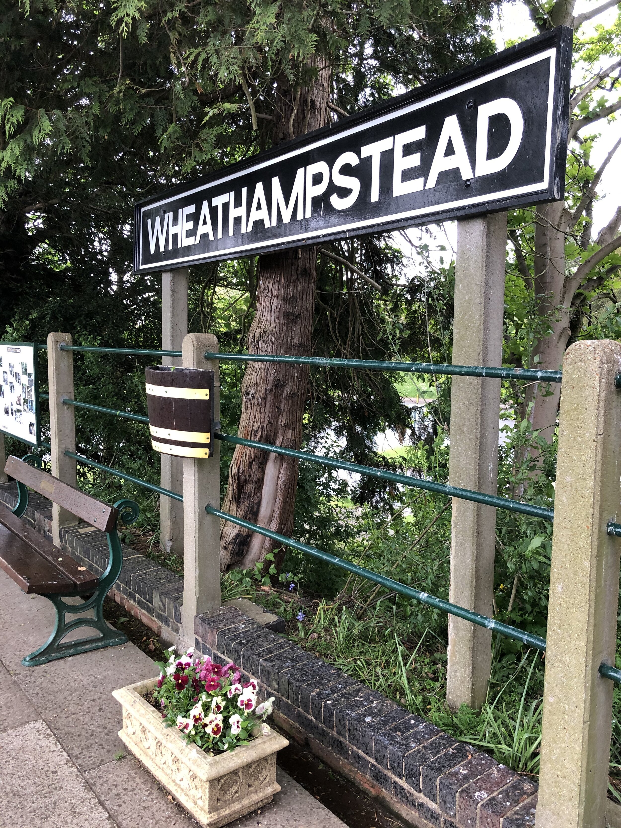
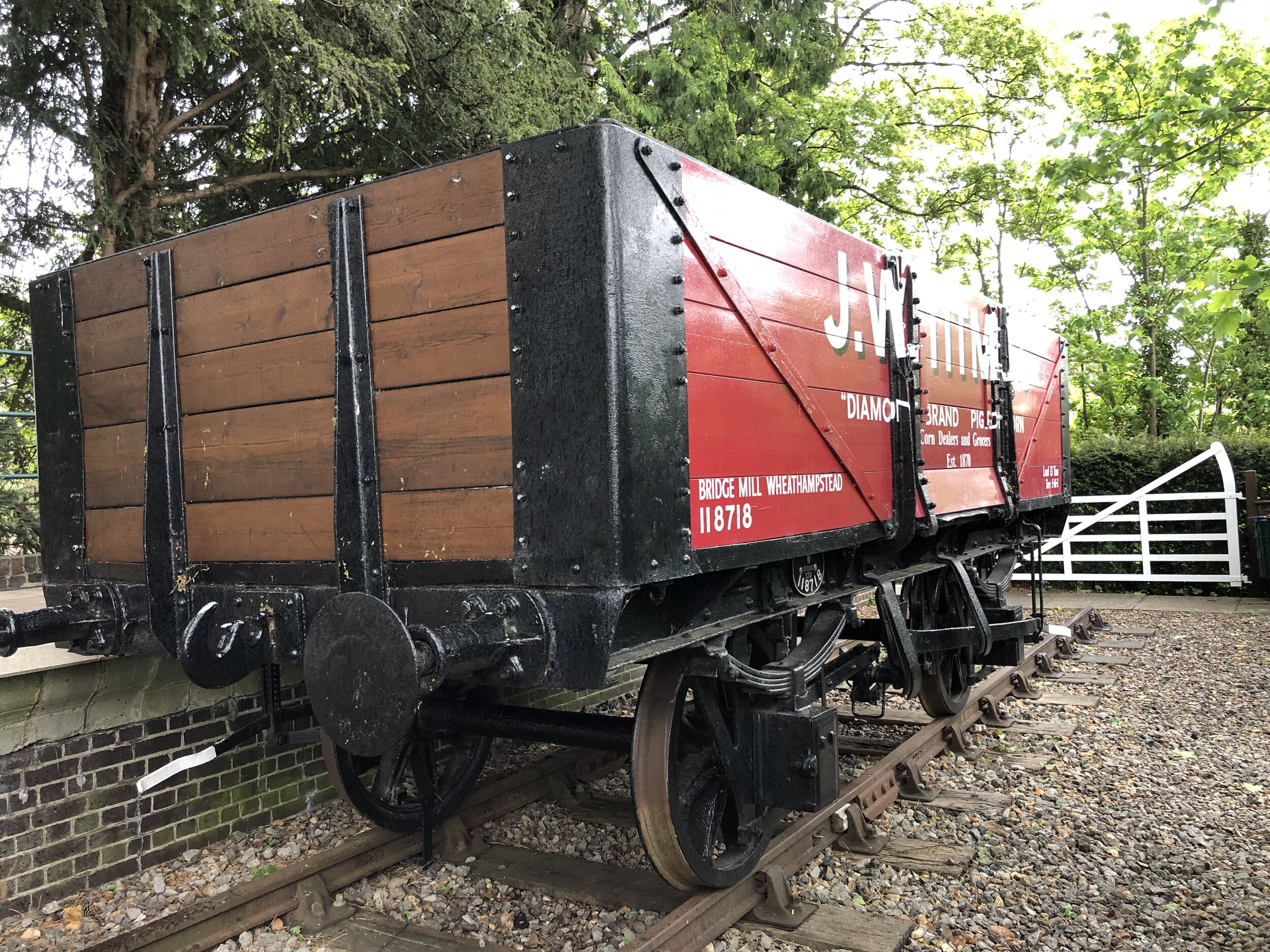
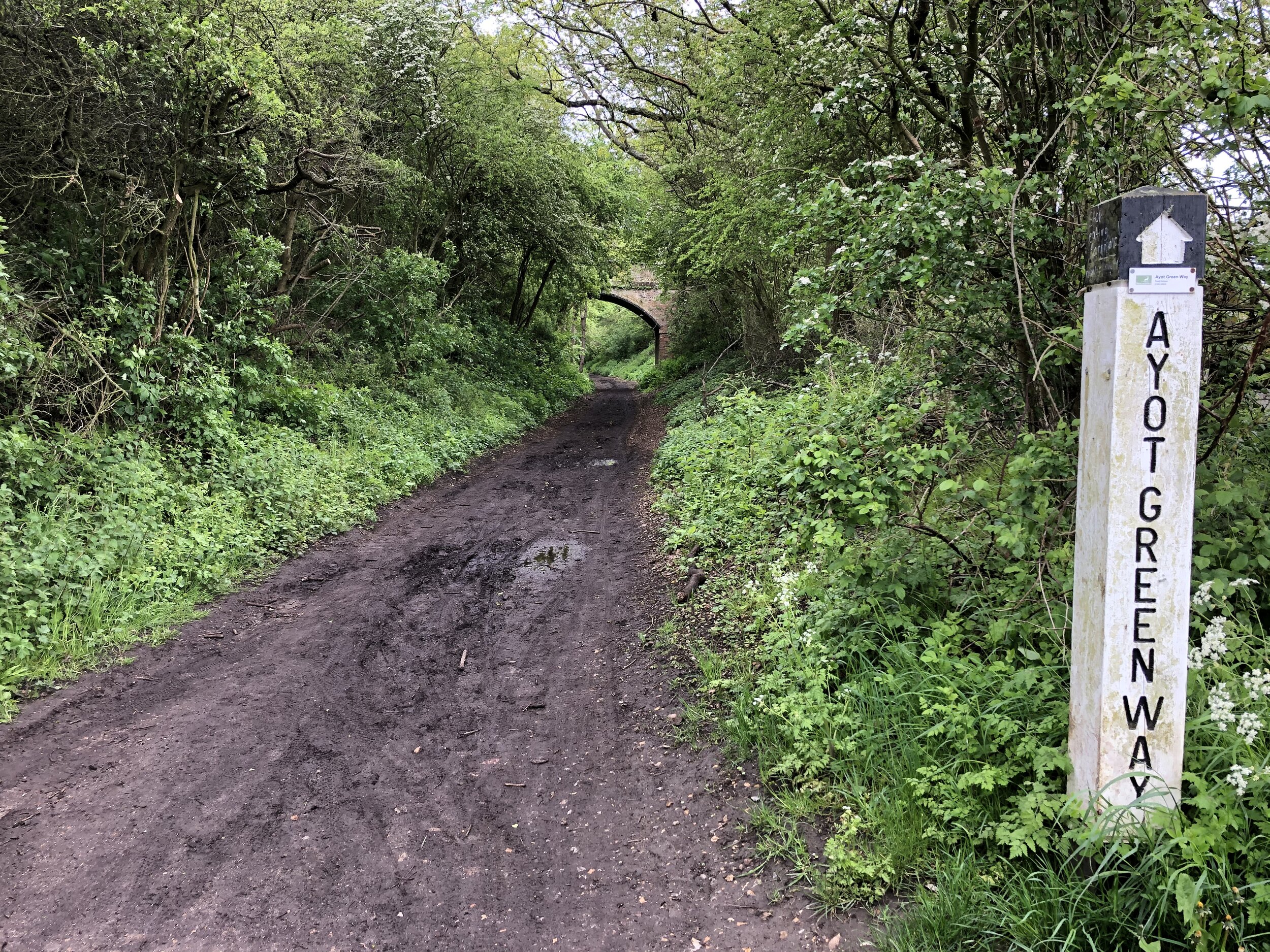
The actual Ayot Greenway starts from Wheathampstead Station but it’s part of a group of cycle paths that trace the old Dunstable Branch Line. The distance and elevation stats below include the full stretch of the disused railway from Harpenden.
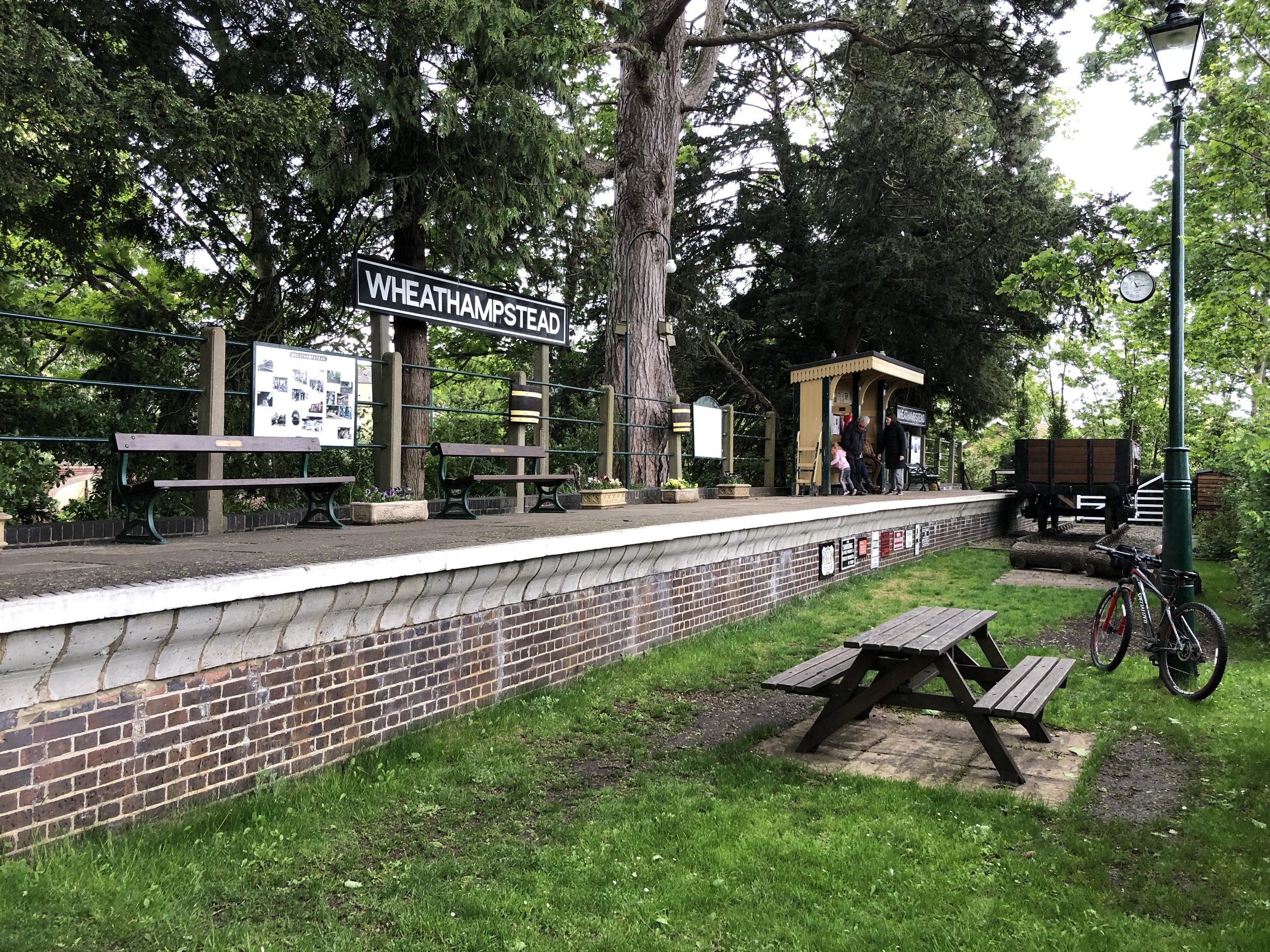
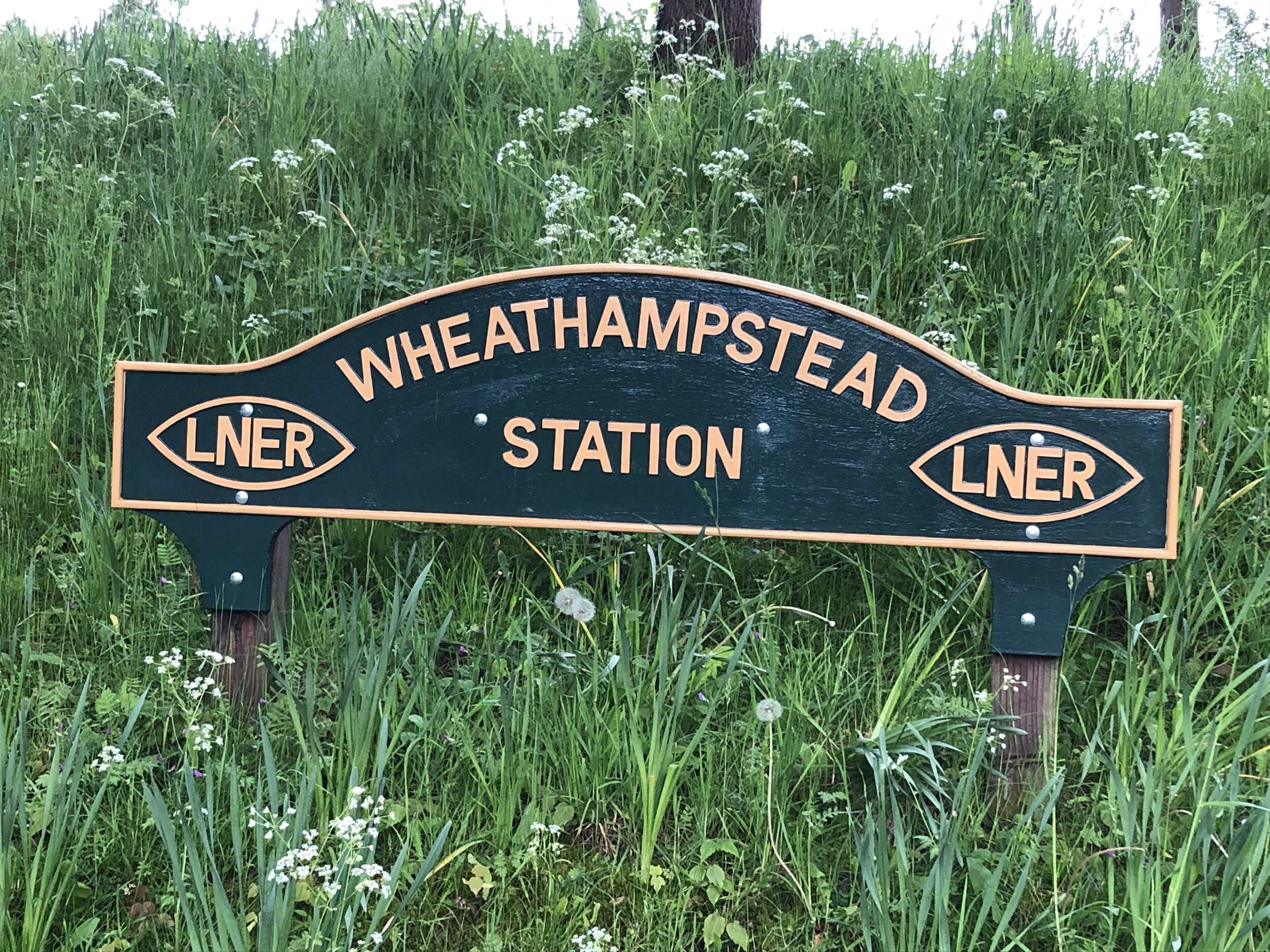
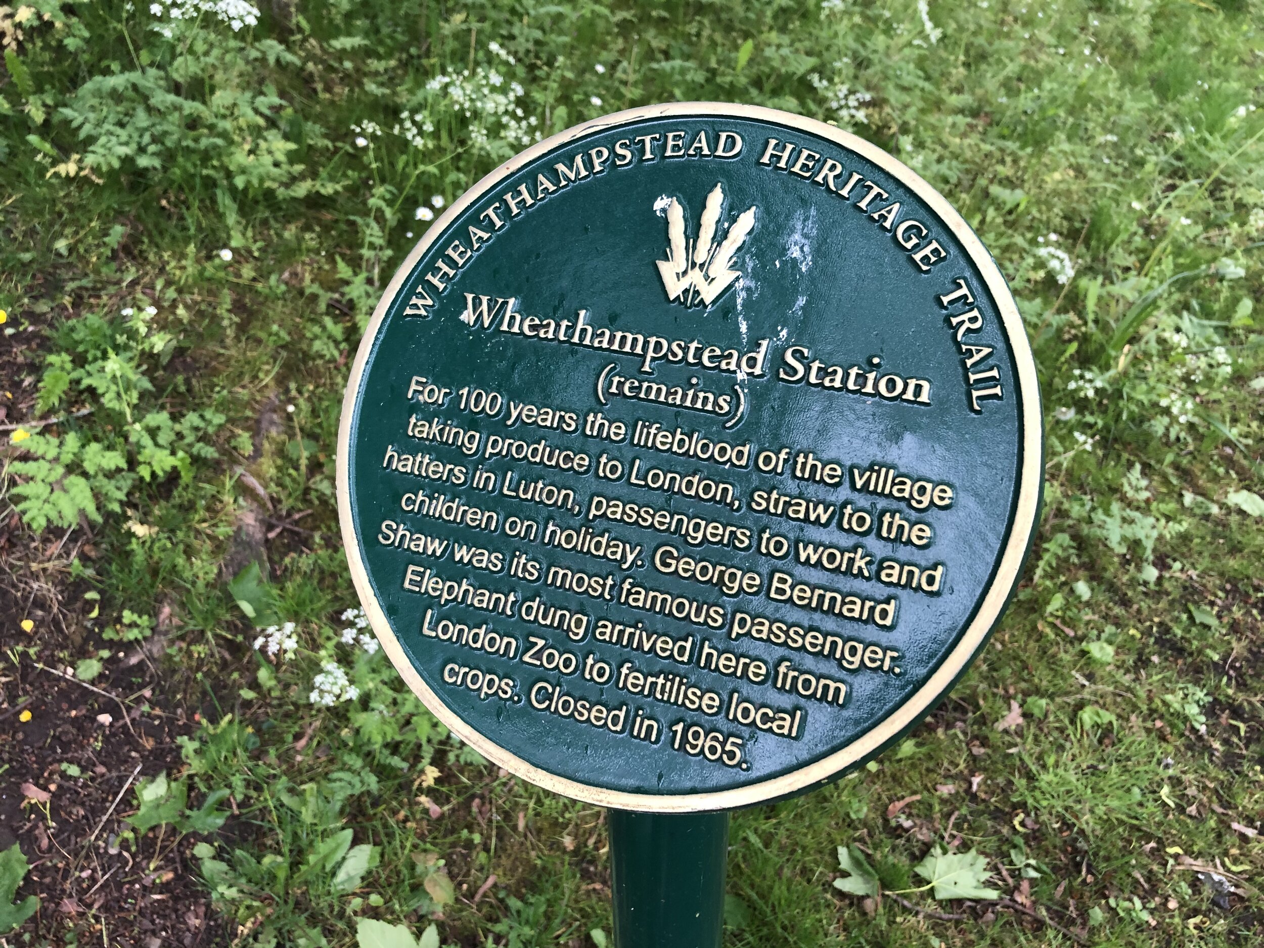
From the Hollybush Lane bridge that marks the end of the Nickey Line there’s two ways to connect to the old Dunstable Branch Line. One option is to continue along the NCN 57 to join at Hickling Way. The alternative route that I took was to turn left onto Westfield Road, heading north along the Chilterns Cycleway. Take the path on the left after Beeching Close to keep on the Cycleway as it joins the Lea Valley Path. Whichever option you take you’ll end up following the NCN 57, Chilterns Cycleway and Lea Valley Path in a south-easterly direction. At the junction with Cherry Tree Lane, turn left, then right onto B653 Lower Luton Road. Follow this for ~1.5km to the roundabout where you’ll find the beautifully preserved Wheathampstead Station on the south east corner. Stop here for a rest before heading south down Station Road. Take a left onto Mount Road where you’ll pick up the NCN 57 again and the start of the Ayot Greenway. Follow this in an easterly direction to Ayot Green.
The sign-posted Ayot Greenway ends at Ayot Green but you can continue following the NCN 57 over the A1, picking up the path of the old railway at Sherrardspark Wood.
Section 3: The Alban Way
Start: Small park off the Great North Road Hatfield (OS Grid Ref: TL 23173 09327)
Finish: Cottonmill Lane, St Albans (OS Grid Ref: TL 23173 09327)
Distance: 9.5 km (5.9 miles)
Elevation change: +39m / -36m (Net +3m)
Other routes touched (walk): St Albans Green Ring
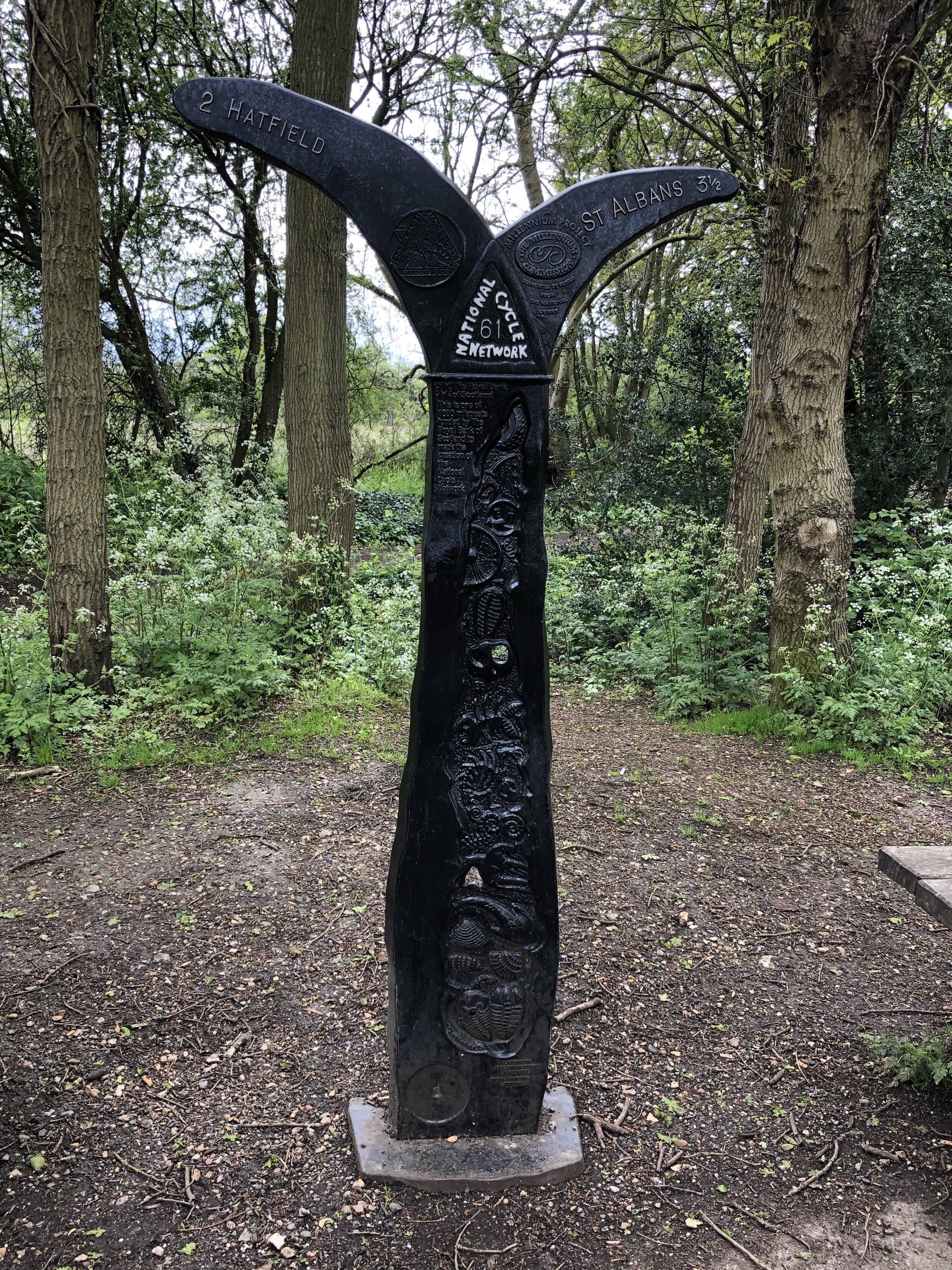
Other routes touched (cycle): NCN 61
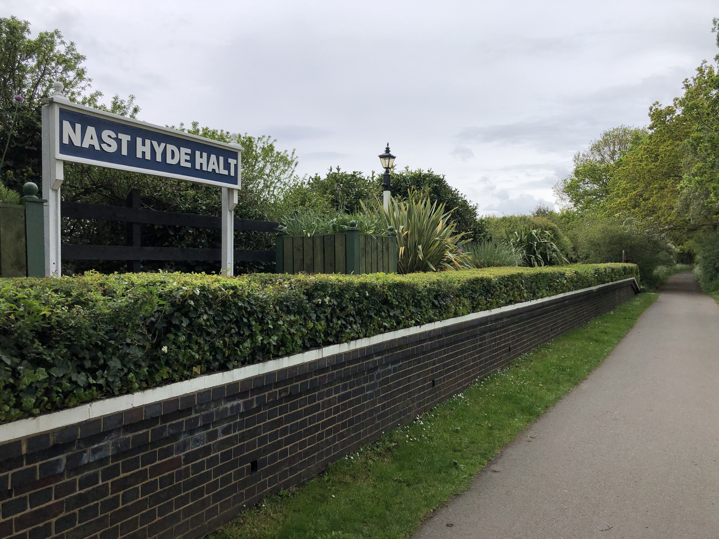
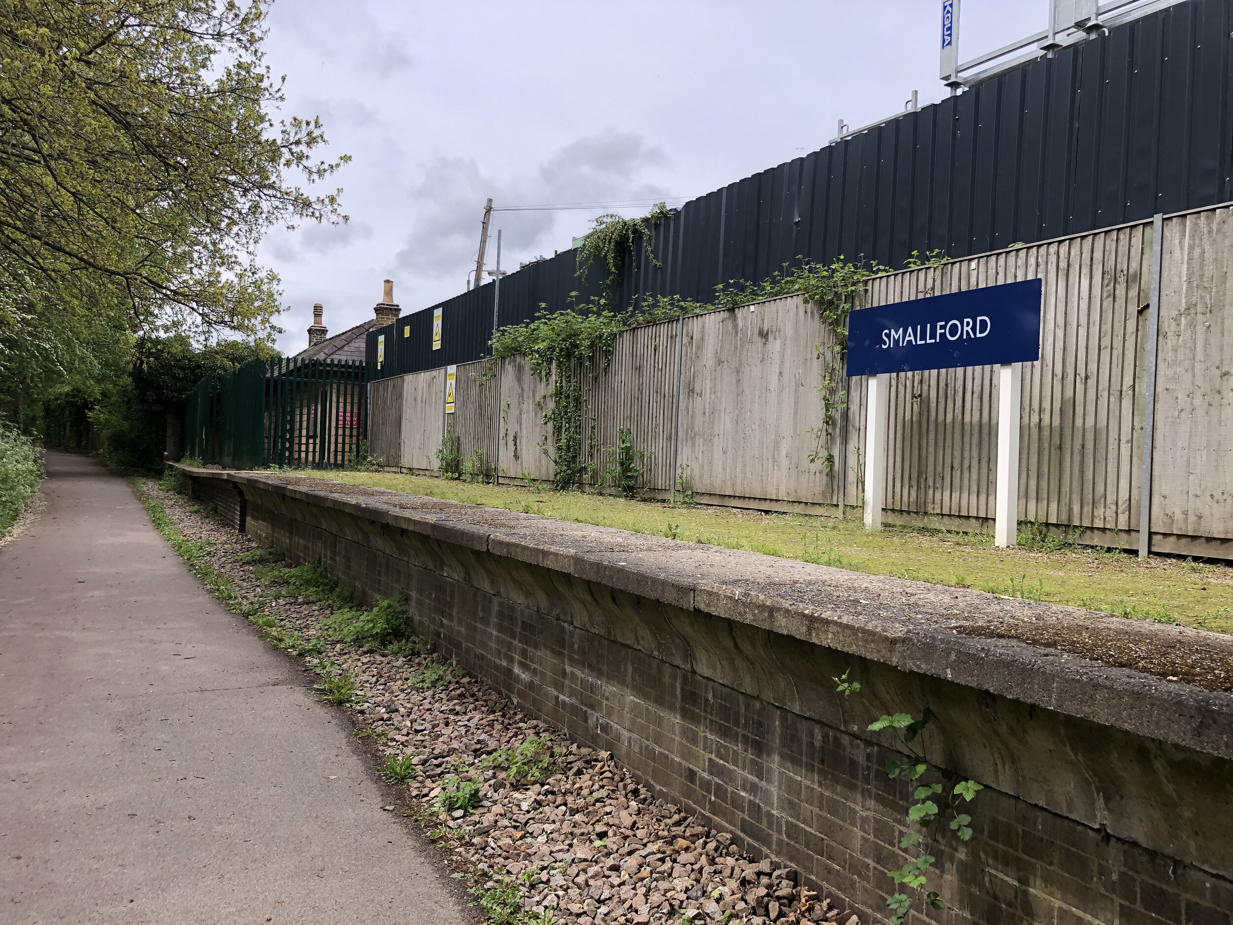
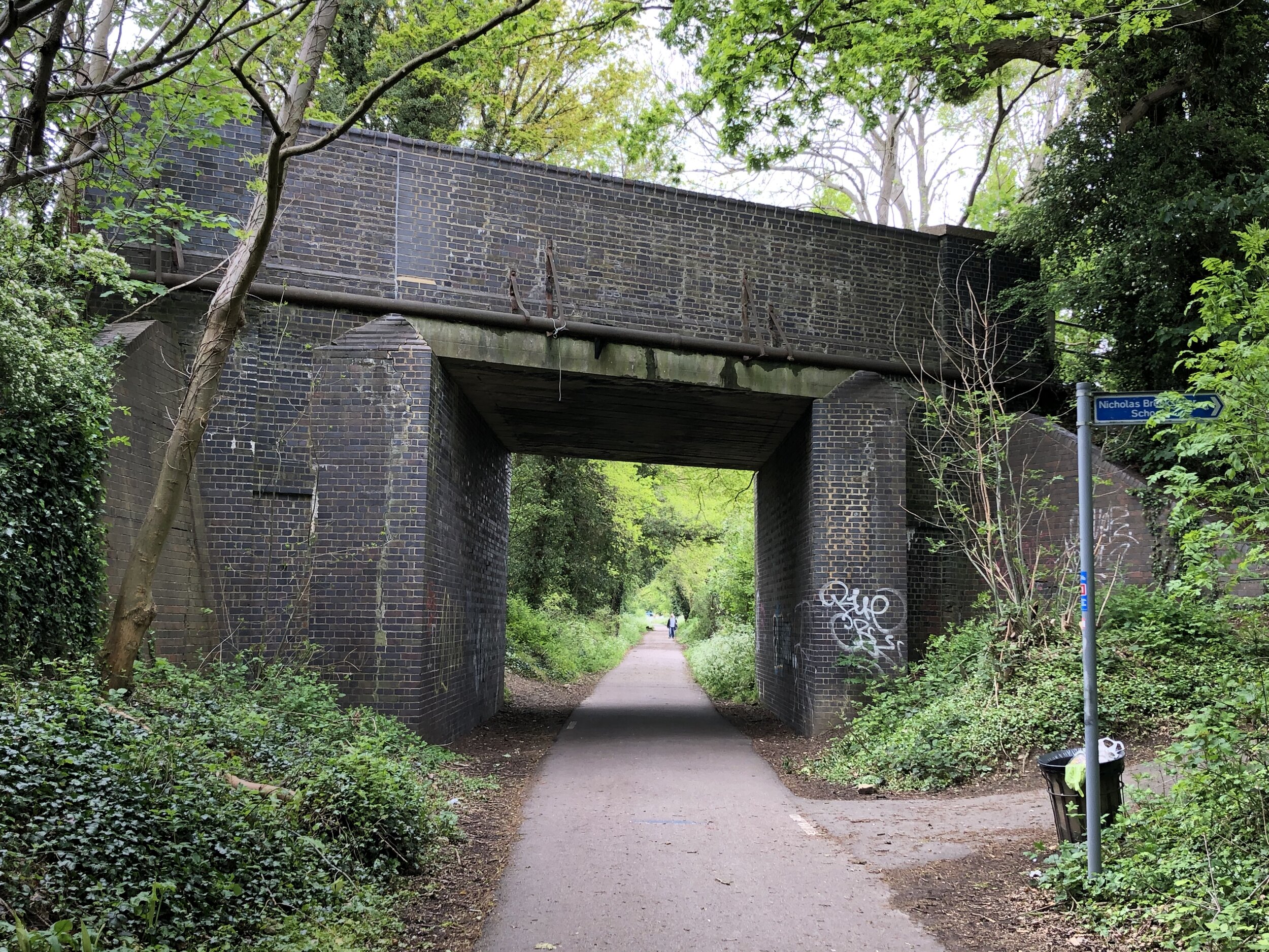
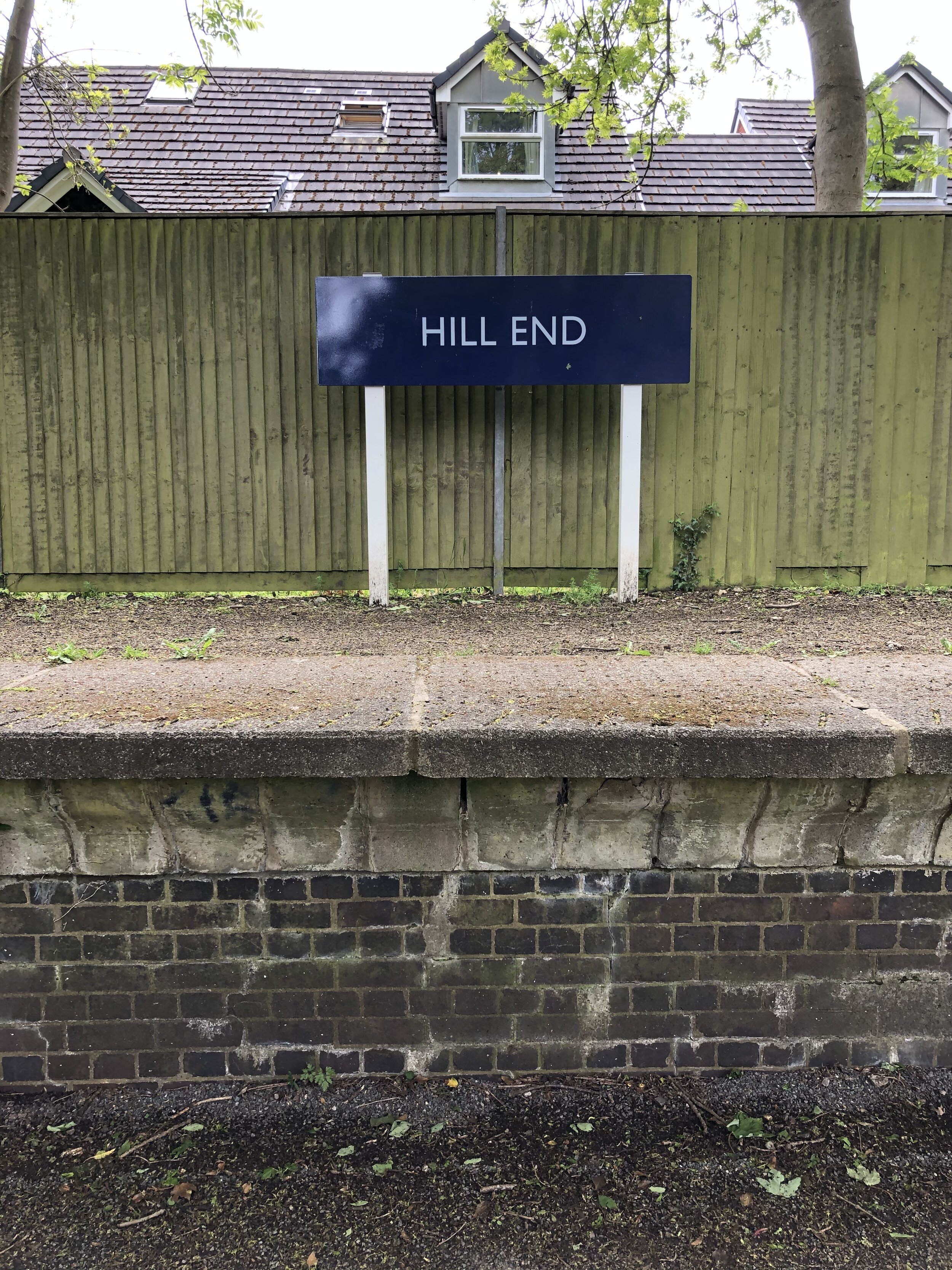
Disused Stations Passed: Lemsford Road Halt, Nast Hyde Halt, Smallford, Hill End, Salvation Army Halt, London Road Station
Pubs / Cafes on route: none
Links: Alban Way (Wikipedia), Hatfield and St Albans Railway, Herts Memories: Alban Way, Hatfield, St Albans
From Sherrardspark Wood continue along the NCN 57 to Welwyn Garden City town centre. This is approximately half way into the circular tour and a good place to stop for food and a rest. From here continue south along the NCN 57, crossing the present-day mainline railway bridge and connect with the NCN 61 on the A1000. The NCN 61 will take you through Hatfield and onto the Alban Way. The distance and elevation stats above for the Alban Way start as the NCN 61 crosses the Great North Road.
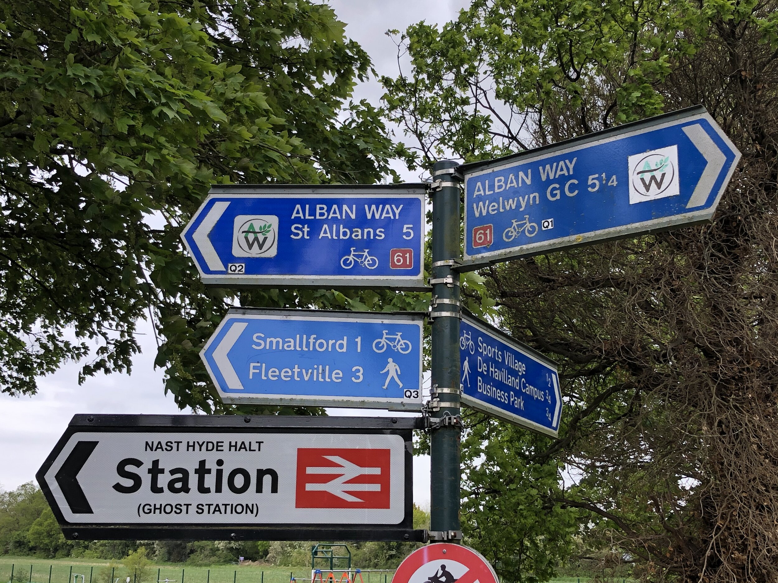
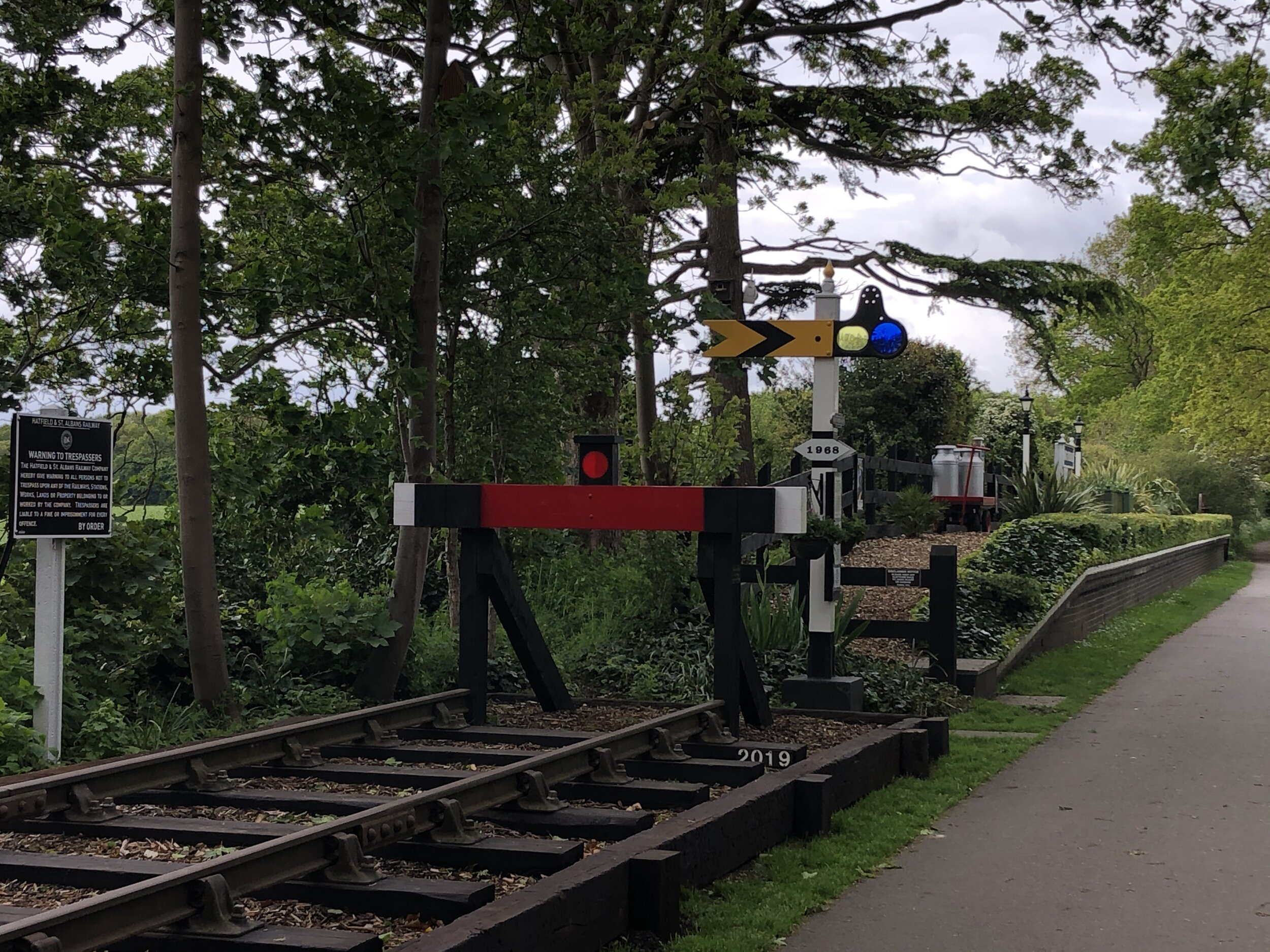
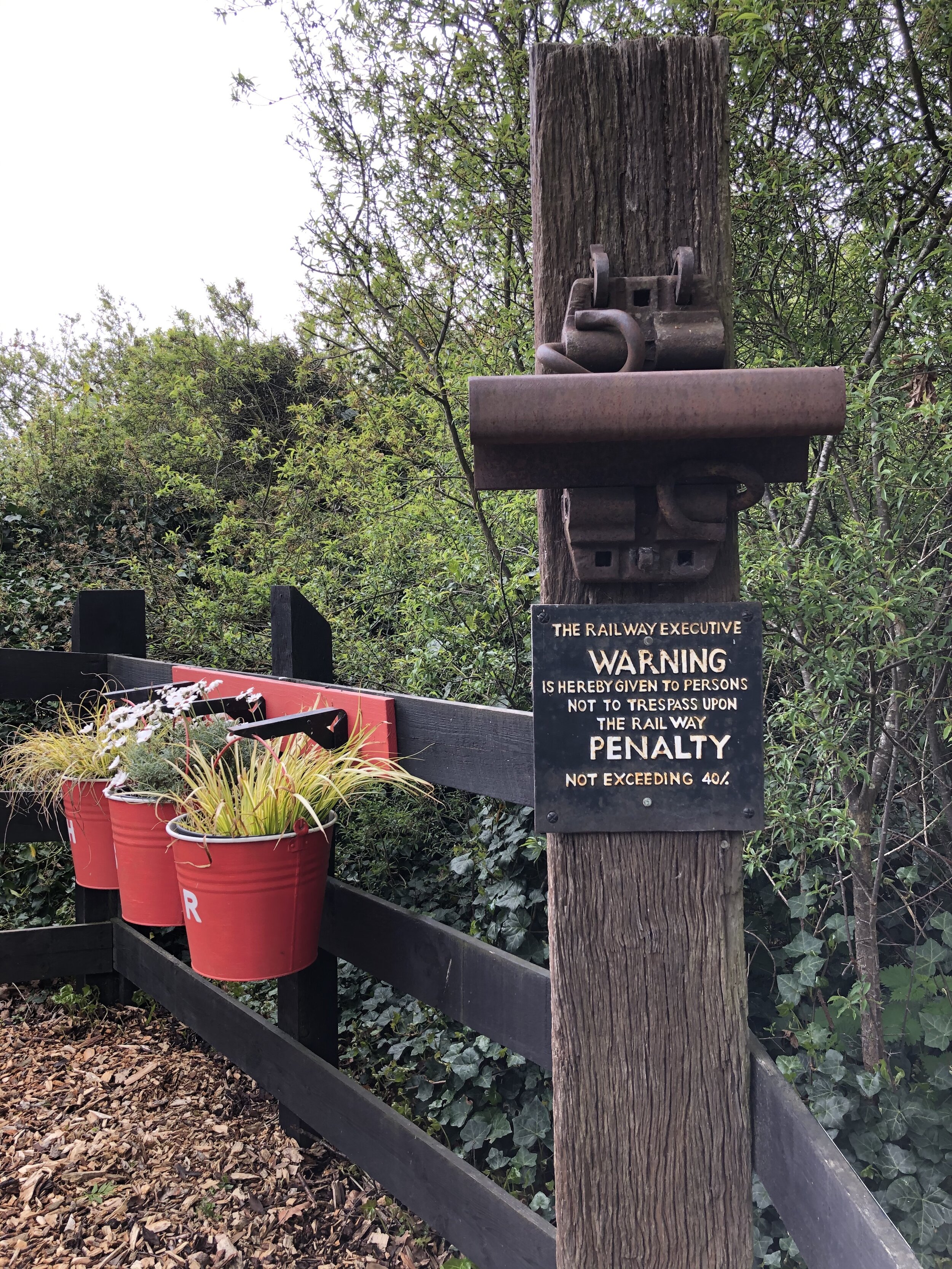
The Alban Way is the best preserved of the 3 routes. Nast Hyde Station is a highlight and there’s information boards along the way detailing the history of each of the old stations. It’s worth taking this section slow to take in the artifacts of the old line. This section of the route ends at the junction with Cottonmill Lane just before the old rail line would have connected with the present-day line to St Albans Abbey Station.
Section 4: Return To The Start
Start: Cottonmill Lane, St Albans (OS Grid Ref: TL 23173 09327)
Finish: Nickey Line Start, by The Midland Hotel, Midland Road, Hemel Hempstead, HP2 5BH
Distance: 14.1 km (8.8 miles)
Elevation change: +129m / -100m (Net +29m)
From the end of the Alban Way at Cottonmill Lane, take a left to continue on the NCN 61. Follow this for 2.5km until it meets the B4630 Watford Road. After following this south for ~100m carefully cross the road onto Ragged Hall Lane in a south westerly direction. You will now have left the NCN 61. Continue south-west along Ragged Hall Lane and onto Bedmond Lane, St Albans Lane and Sergehill Lane. At the junction with Church Lane in Bedmond take a right onto Bedmond Road for 2.5km.
You’ll now be in the uninspiring outer edges of Hemel Hempstead. There’s no pretty way through this back to the start but several options. If you have the GPS route you can take a complex route through quiet residential streets. Alternatively, the easiest route to navigate is to continue on Bedmond Road north, merging with the A4147 then left on the the B487 Swallowdale Lane. This runs past Keens Field where you can pick up the Nickey Line again, retracing your treads back to the Midland Hotel.
More Disused Railway Posts
Hurley Weir
Start & Finish: Hurley village Car Park, Maidenhead, SL6 5NB
Distance: 8.9 km (5.5 miles)
Elevation change: +/- 132m
GPX File: get via Buy Me a Coffee
Other routes touched (walk): Thames Path, The Wokingham Way, The Chiltern Way Berkshire Loop, Littlewick Green, Ashley Hill and Knowl Hill Circular Walk
Other routes touched (cycle): Berkshire Cycle Route 52
Pubs / Cafes on route: The Rising Sun Hurley, The Olde Bell Hurley
Map: OS Explorer Map (172) Chiltern Hills East and OS Explorer Map (171) Chiltern Hills West, Henley-on-Thames and Wallingford
Links: Hurley, Ashley Hill
For our latest short Thames Path circular walk we returned to Hurley. There’s a small cark park at the end of High Street opposite St Mary’s church. This gets very busy during summer weekends but there’s a lot of free curb-side parking all along High Street.
Pick up the Thames Path at the north end of High Street and follow it west for 2km to Frogmill. After the river-side houses, take the footpath on the left following it south down Black Boy Lane to the A4130 Henley Road. Turn left onto the A4130 following the pavement in front of the Black Boy pub then carefully cross the road and take the footpath heading south. Follow this path for ~1.5 km up the hill to meet the Chiltern Way Berkshire Loop.
Take a left onto the Chiltern Way Berkshire Loop and follow it to the top of Ashley Hill. Here you’ll pass the house with the inaccessible OS Trig Pillar in its grounds. Continue along the Chiltern Way, now heading down the hill on the eastern side, and take the 2nd footpath on the left. Follow this path for 2km all the way back to the start, via the grounds of the Berkshire College of Agriculture.
Previous Thames Path Section (west): Aston and Crazies Hill
Next Thames Path Section (east): Marlow, Hurley, Temple and Bisham
Having walked and cycled a lot of the Chilterns over the past few years I’ve become much more familiar with its landscape. I discovered the valleys in my cycling trips along the Chiltern Rivers and the high points while bagging the Trig Points. With a need to find more short local walks during the Covid Lockdowns my attention turned to finding the rail lines and stations in the AONB. All of the walks listed below the map are around 10k (~6 miles) with a start and finish at a Chiltern rail station. This list covers all stations inside the Chiltern Hills AONB, shaded in green on the map. There’s also a selection of walks covering stations in the “Greater Chiltern Area”, shaded in peach, which covers the area bounded by the north end of the AONB and the Rivers Thames, Lea and Colne.
Rail-based circular walks in the Chiltern Hills AONB
Where all or most of the walk is within the boundary of the AONB
Amersham Old and New Towns (Amersham Station): 8.3 Km. +/- 75m Elevation Gain.
Berkhamsted Castle and Common (Berkhamsted station): 10.5 Km. +/- 73m Elevation Gain.
Chesham & Tylers Hill (Chesham station): 9.3 Km. +/- 84m Elevation Gain.
Chorleywood and Chenies (Chorleywood station): 8.0 Km. +/- 85m Elevation Gain.
Goring & Streatley Station Circular (Goring & Streatley station): 8.9 Km. +/- 155m Elevation Gain.
Great Missenden and Ballinger (Great Missenden station): 9.8 Km. +/- 113m Elevation Gain.
Great Missenden and Little Kingshill (Great Missenden station): 10 Km. +/- 112m Elevation Gain.
Little Chalfont and Latimer (Chalfont & Latimer station): 8.4 Km. +/- 140m Elevation Gain.
Saunderton & Loosely Row (Saunderton station): 9.1 Km. +/- 125m Elevation Gain.
Tring Park and Northfield (Tring Station): 8.4 Km. +/- 140m Elevation Gain.
Uxbridge to Denham (Uxbridge High Street, Denham stations): 6.3 km. +/- 27m Elevation Gain.
Wendover and Coombe Hill (Wendover station): 7.3 Km. +/- 139m Elevation Gain.
Rail-based circular walks in the Greater Chilterns Area
Where all or most of the walk is outside of the boundary of the AONB
Beaconsfield, Knotty Green and Seer Green (Beaconsfield station): 10.6 Km. +/- 84m Elevation Gain.
Cassiobury, Whippendell Woods and Croxley Green: (Croxley and Watford stations): 10.1 km. +/- 84m Elevation Gain.
Rickmansworth and Chorleywood (Rickmansworth station): 9.4 Km. +/- 100m Elevation Gain.
Risborough Railways Ramble (Princes Risborough station): 10.7 Km. +/- 83m Elevation Gain.
Shiplake and Henley-on-Thames (Shiplake and Henley-on-Thames stations): 8.8 Km. +/- 80m Elevation Gain.
Walking The Marlow Donkey (Bourne End and Marlow stations): 11.4 Km. +/- 65m Elevation Gain.
Rail-based point to point walks in the Greater Chilterns Area
The Chess Valley Walk (Rickmansworth and Chesham stations): 17.9 Km. +309m / -256m Elevation Gain.
Walking The Abbey Line Trail (St Albans City to Watford Junction): 15 Km. -74m / -86m Elevation Gain.
Walking The Bourne End To Maidenhead Line (Bourne End, Cookham, Furze Platt and Maidenhead stations): 9.6 Km. +60m / -58m Elevation Gain.
Walking The Wycombe to Bourne End Disused Railway (High Wycombe & Bourne End stations): 9.9 Km. +37m / -86m. Net -49m Elevation Gain.
Walking The Ebury Way Disused Railway (Watford Junction to Rickmansworth Church Street): 8.8 Km. +39m / -61m Elevation Gain.
Train out, walk back: The Chinnor and Princes Risborough Railway: 6.3 km (3.9 miles). +73m / -46m. Net = +27m. Elevation Gain.
Rail-based cycle trips in the Greater Chilterns Area
Cycling The Nickey Line, Ayot Greenway and The Alban Way: 54.2 km. +/- 364m Elevation Gain.
via the routes of the disused Harpenden to Hemel Hempstead Branch Railway, Dunstable Branch Line and Hatfield and St Albans Railway lines.Cycling The Phoenix Trail and Watlington & Princes Risborough Railway: 46.6 km. +/- 313m Elevation Gain.
via the routes of the disused Wycombe Railway from Princes Risborough to Thame and back via the old Watlington and Princes Risborough line.Cycling The Windsor to Staines Railway: 26.3 km +/- 78m Elevation Gain.
via Windsor & Eton Riverside, Datchet, Sunnymeads, Wraysbury and Staines stationsCycling The Staines West to Denham Disused Railways: 22.9 km. + 99m / -67m. Net +22m Elevation Gain
via 3 separate disused railways through West Drayton and Uxbridge
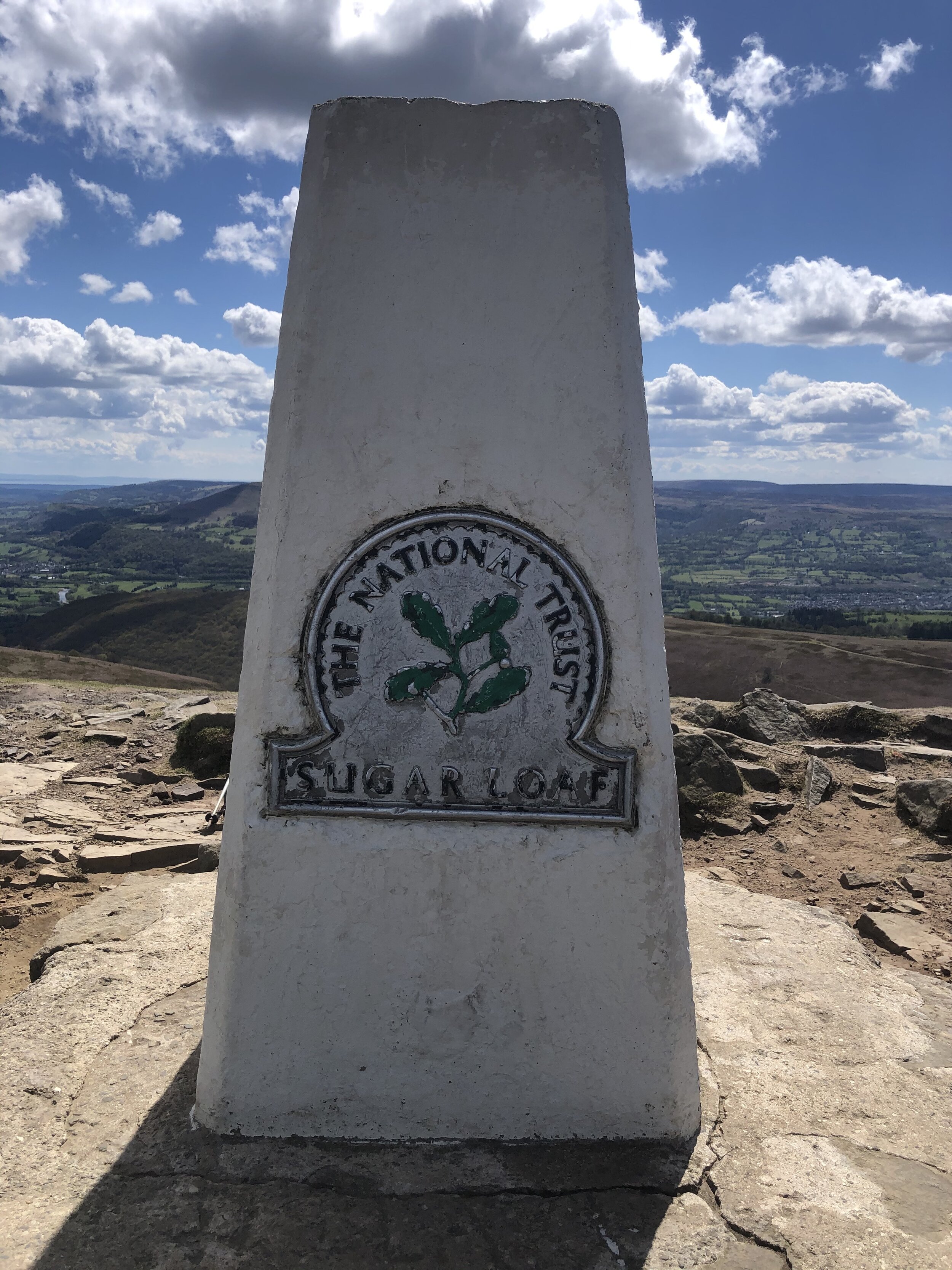
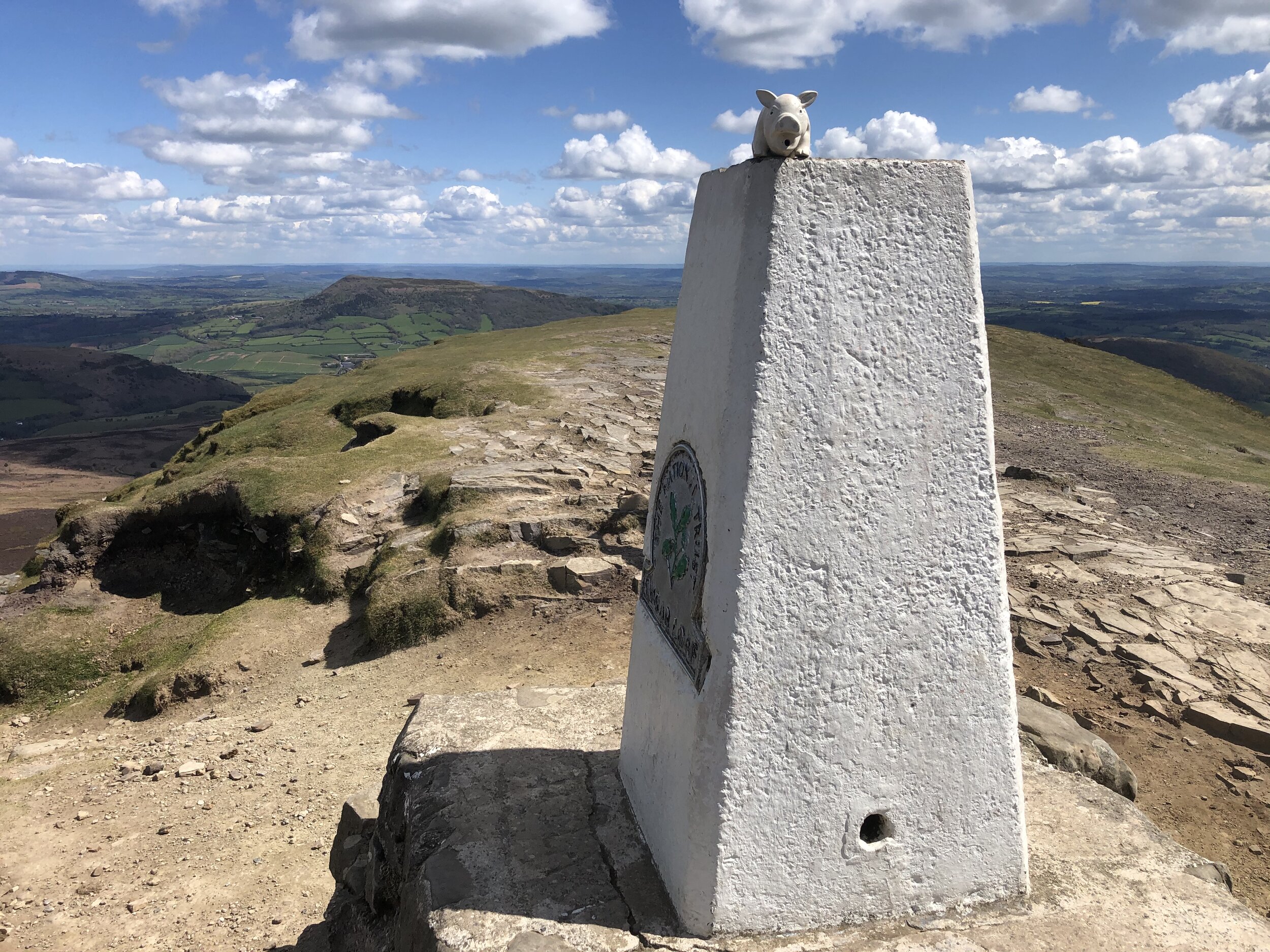
Trig Pillar at the top of Sugar Loaf
Member of: Marilyn
Parent Peak: Waun Fach
Elevation: 596m
Date climbed: 6th May 2021
Coordinates: 51° 51' 46'' N, 3° 3' 28'' W
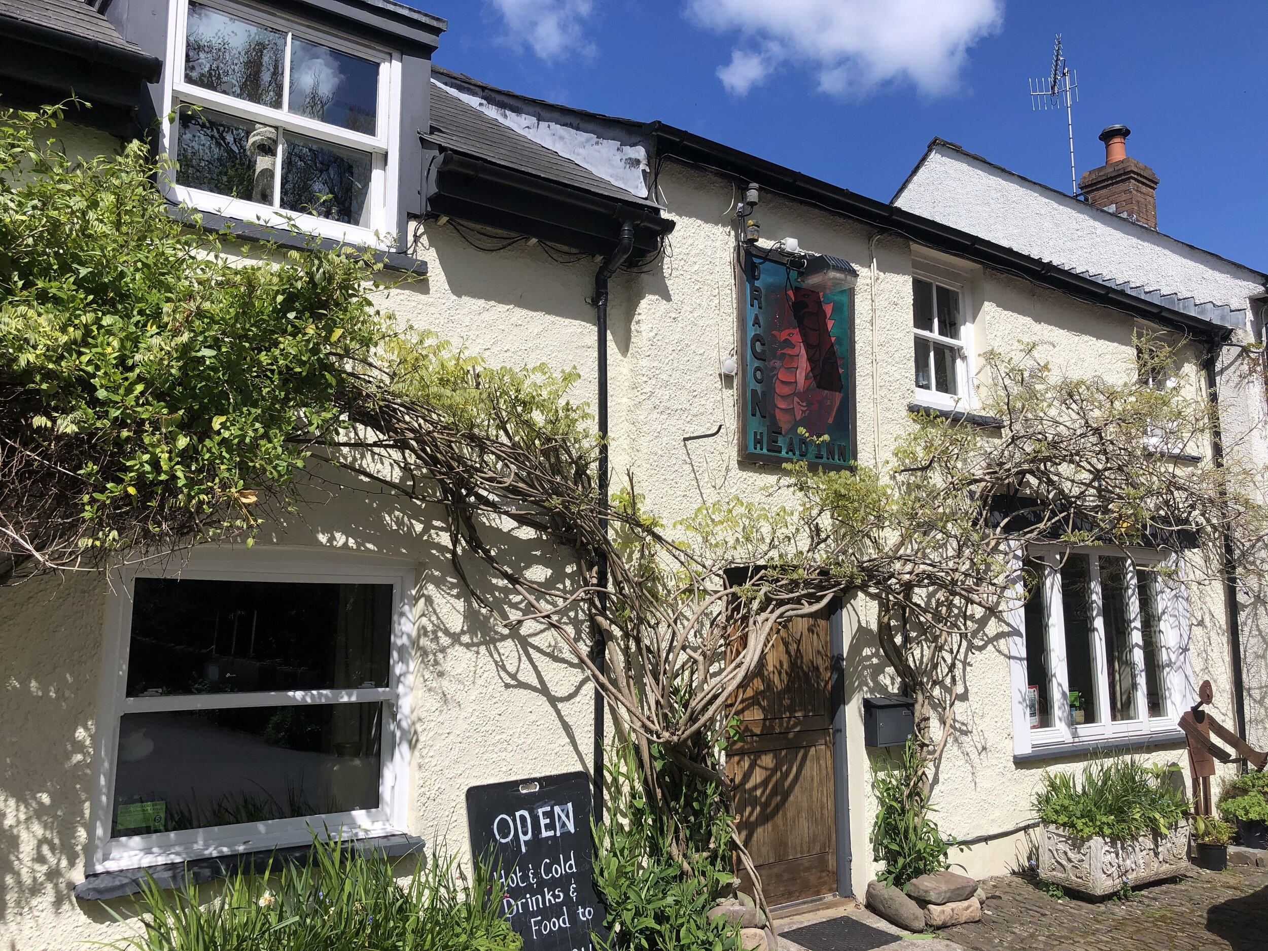
Route Start & Finish: The Dragons Head pub, Llangenny, Crickhowell, NP8 1HD
Distance: 8.7 km (5.4 miles)
Elevation change: +/- 502m
GPX File: get via Buy Me a Coffee
Other routes touched (walk): None
Other routes touched (cycle): None
Other pubs / Cafes on route: None
OS Trig Pillar: TP6243 - Sugar Loaf
Map: OS Explorer OL13 Brecon Beacons National Park - Eastern area
Links: Wikipedia / Peakbagger / Hillbagging / Llangenny
This was the second of three trig-bagging walks in the Black Mountains on a spring trip to the Brecon Beacons. We were on the last day of good weather before a long stretch of rain so we picked this one based on recommendation from a friend who lives nearby.
Many people start their Sugar Loaf trip from Abergavenny and there’s lots of footpath options between the town and the summit. The approach from Llangeny is a great alternative, especially if you’re travelling there from the North or West.
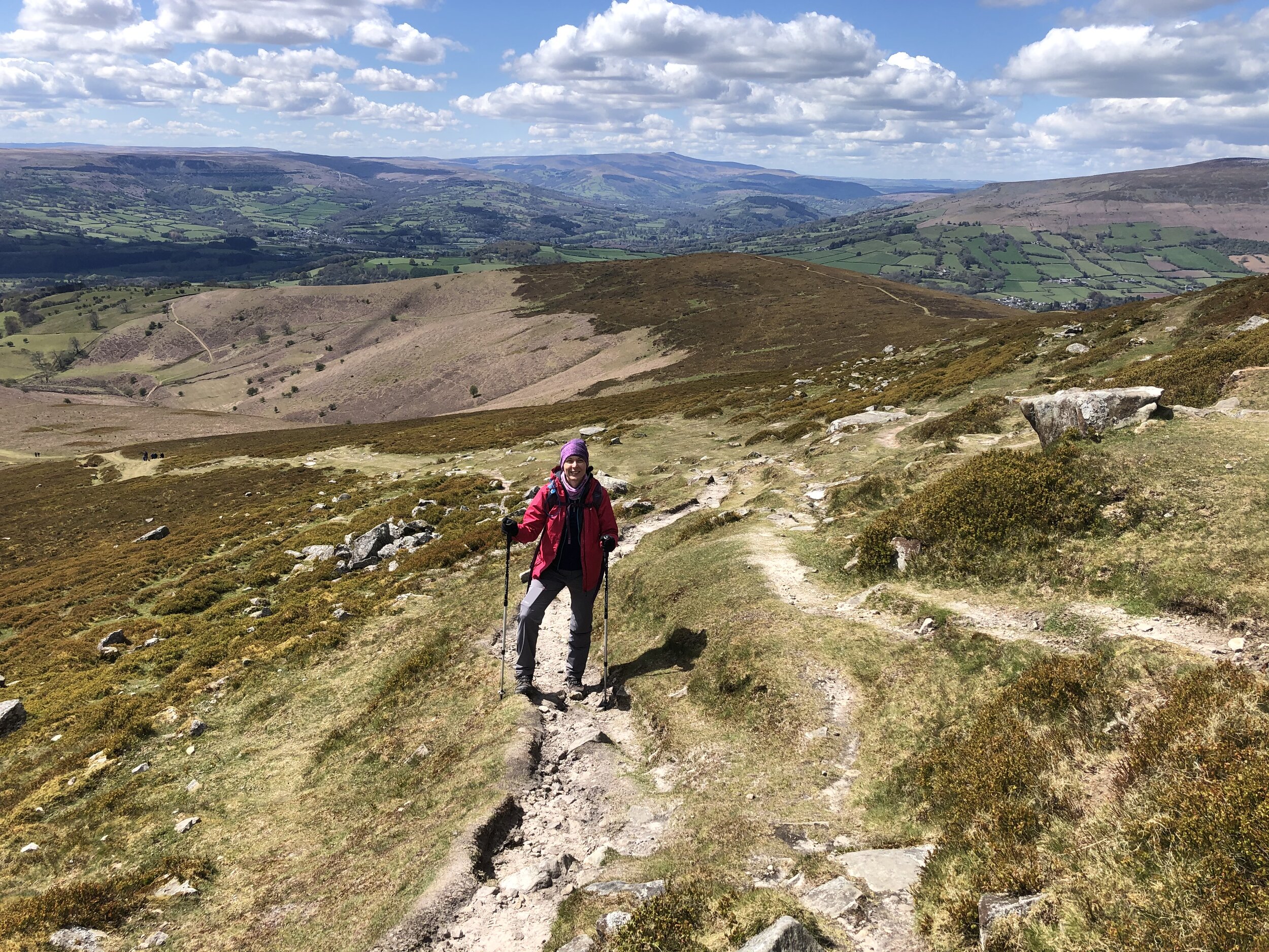
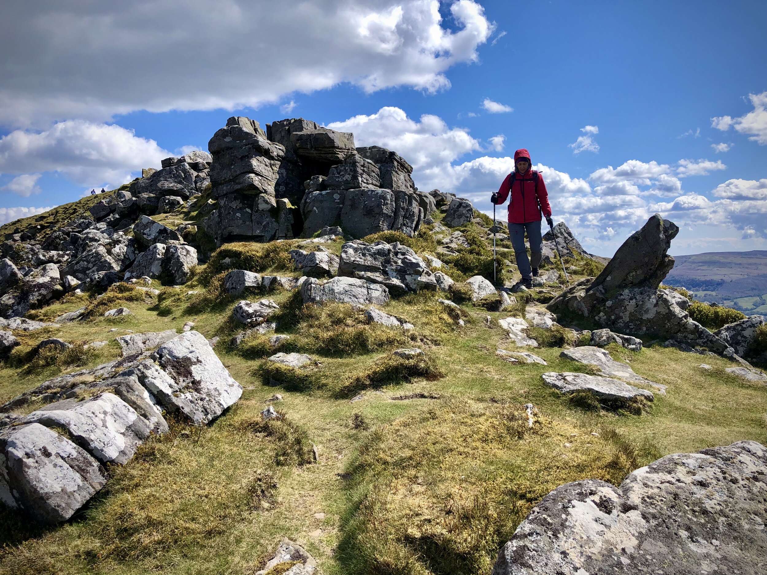
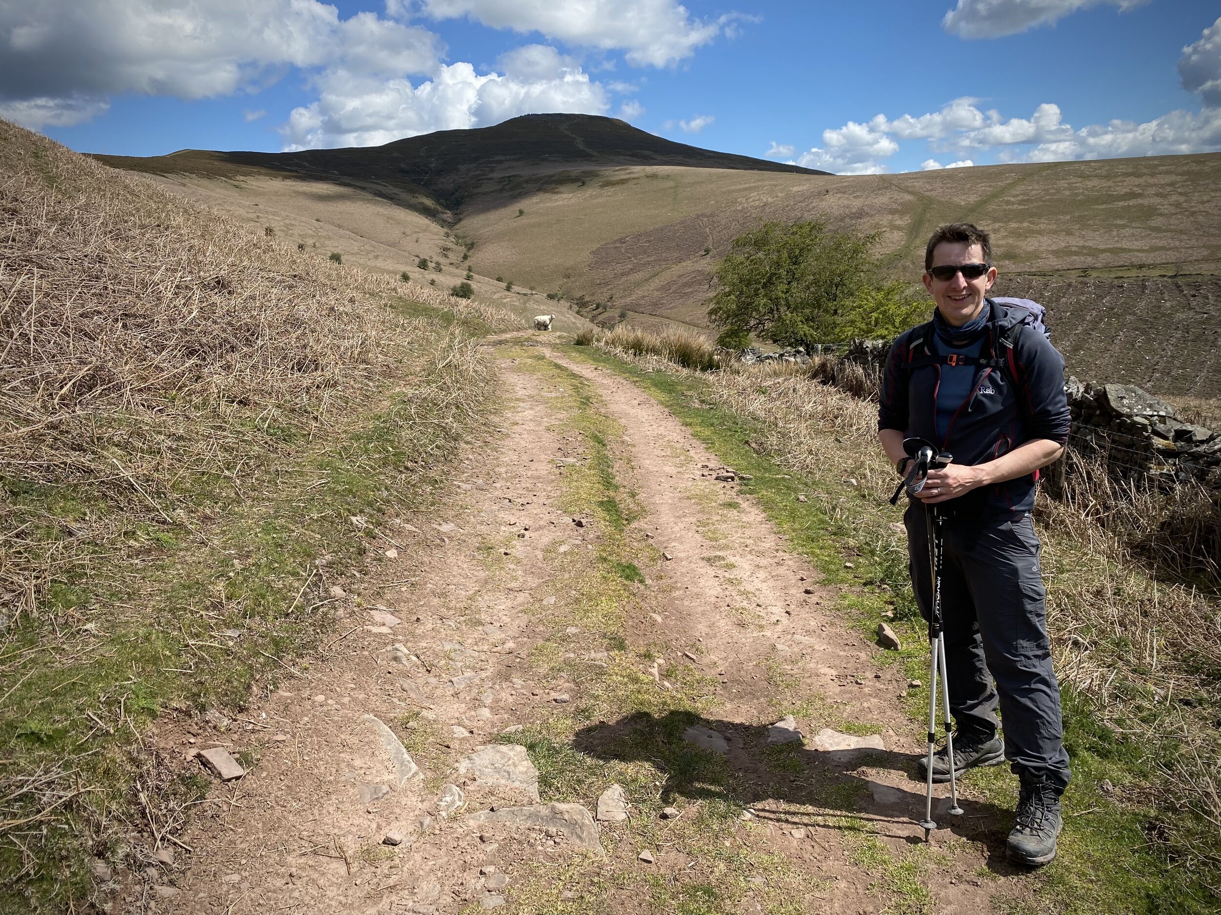
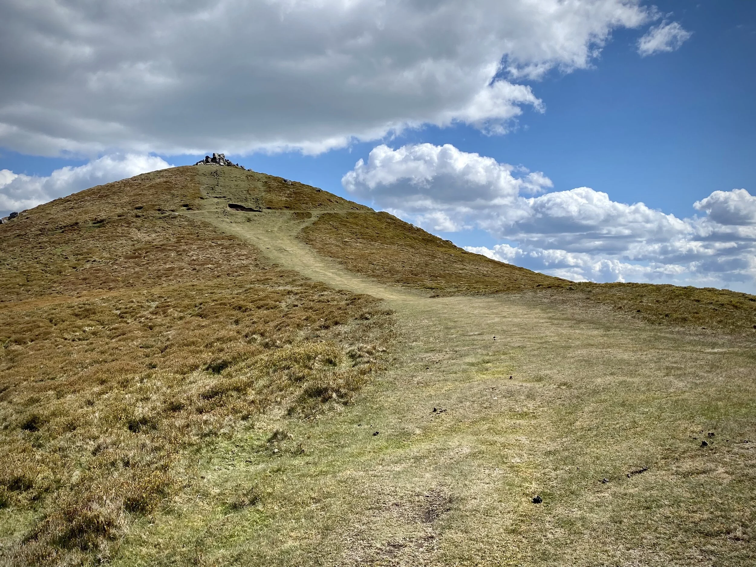
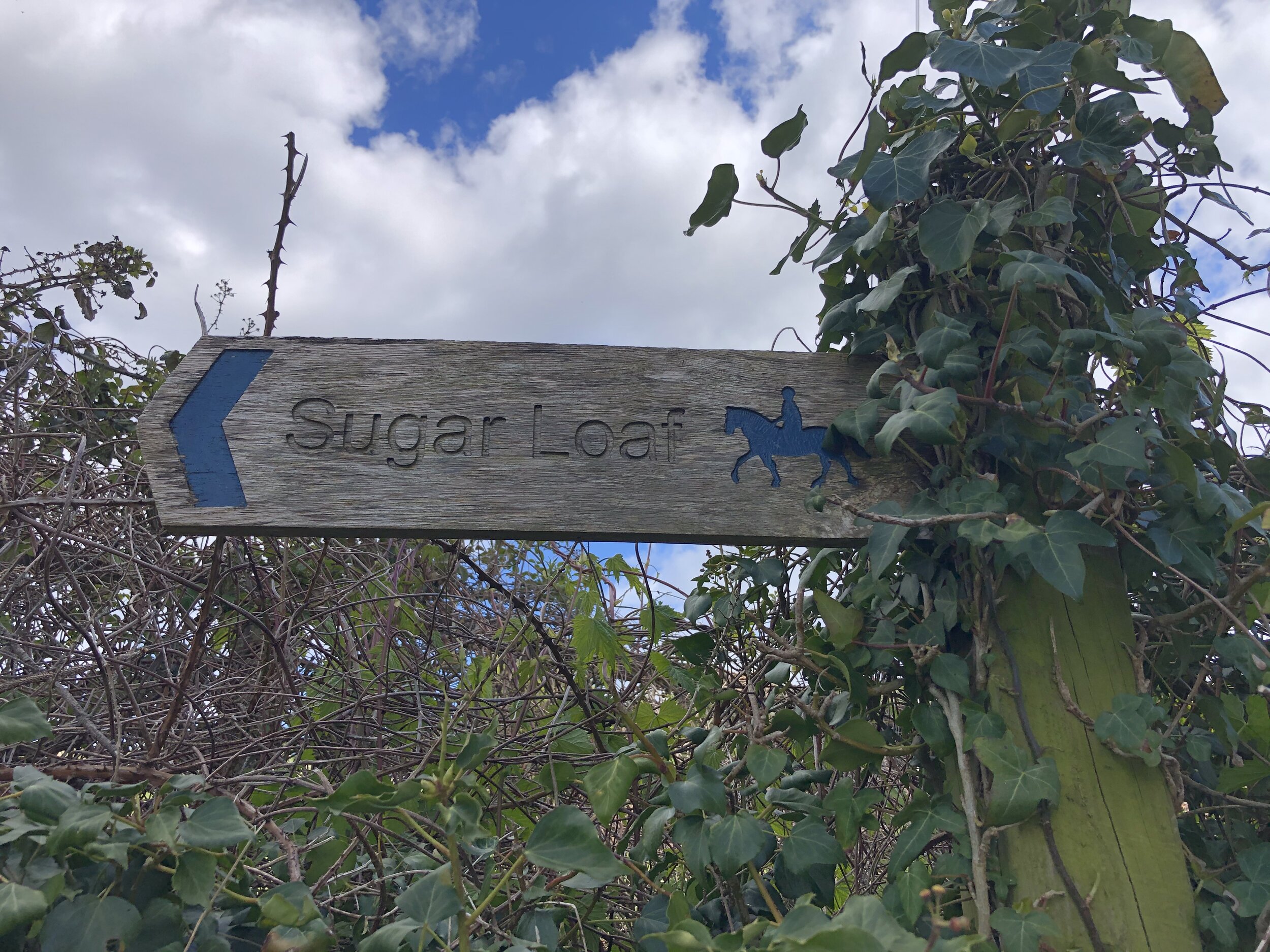
From the Dragon’s Head car park, cross over the (river) Grwyne Fawr, taking a left on the road that runs parallel to the river. Take the first road on right and walk up the hill in a north-easterly direction. After ~1.25 km from the start continue along the footpath through a farm rather than keeping on the road that curves to the right. Once past the farm you’ll follow the edge of a field upwards towards a path T-junction. Take a right here heading south. This path will curve round the brow of a hill before heading north east up to the summit of Sugar Loaf.
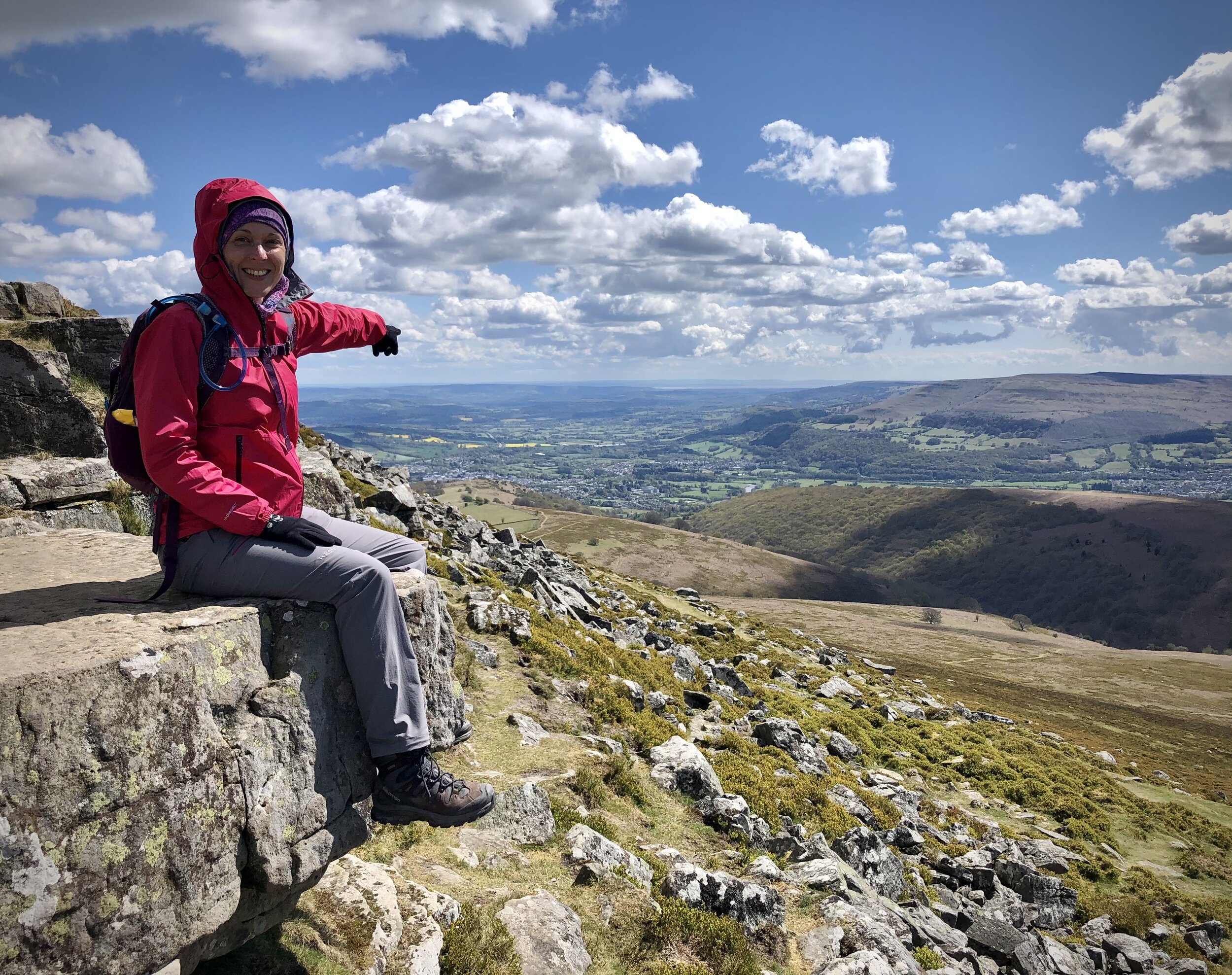
On a clear day the views from the summit are excellent so it’s worth spending a bit of time there to take it all in. To return to the start, take the north-westerly path which curves round to the west. After 3km from the summit the path enters a farm where you’ll take a right onto the road. Soon after this take a left onto another road, another left at the end and continue to the junction where you’ll meet your earlier route up. Take a right here and retrace your steps to the bridge then the Dragons Head pub.


