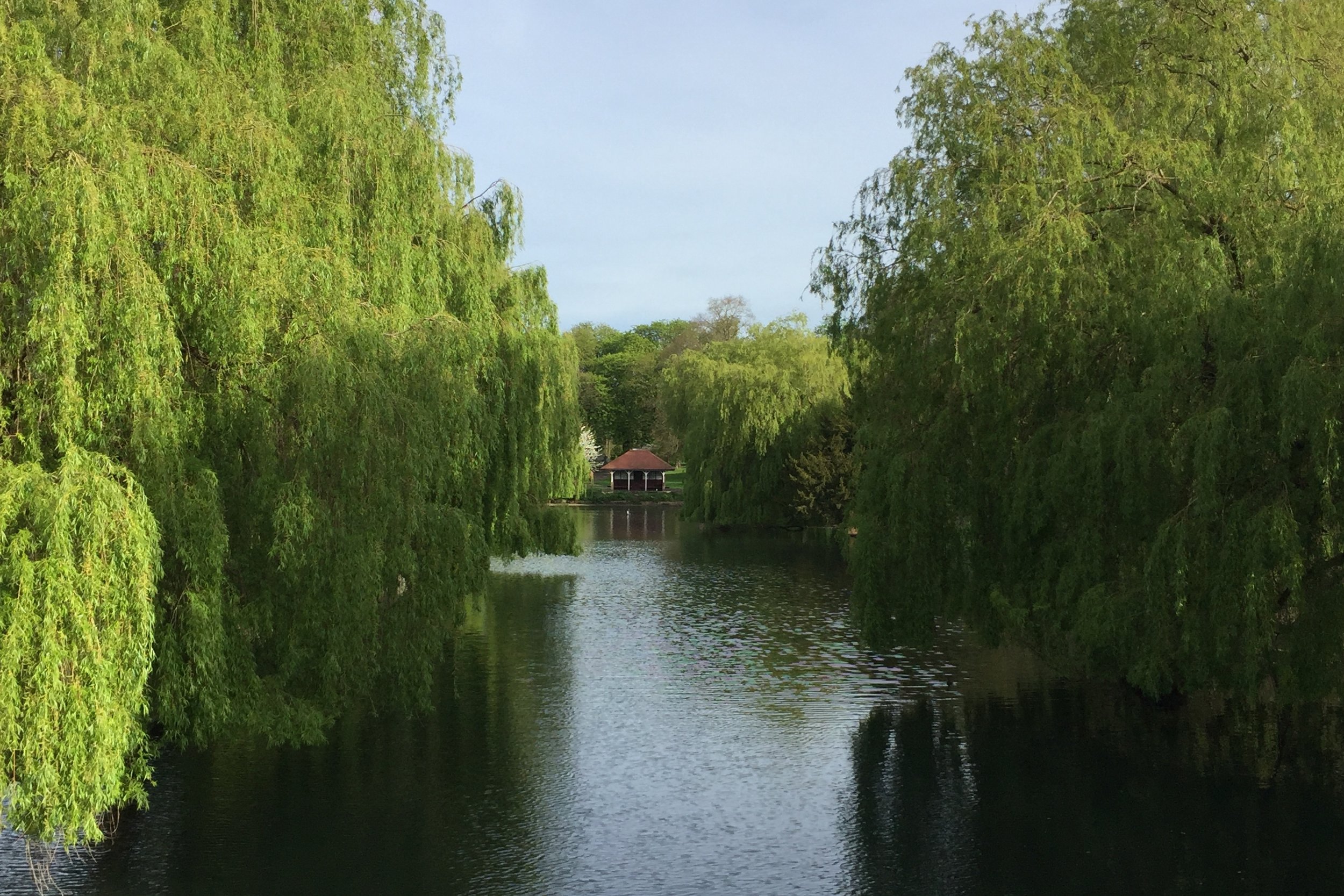
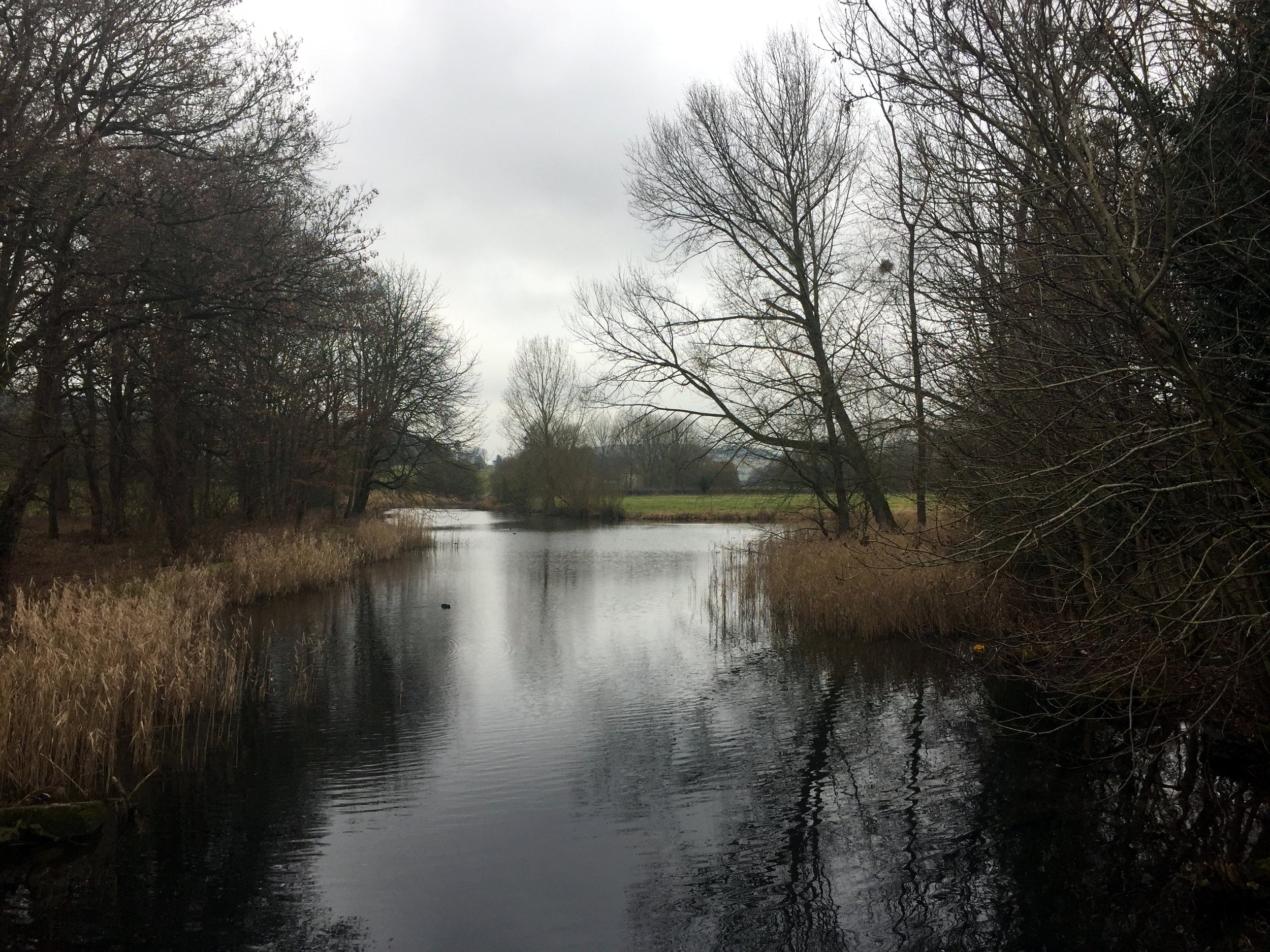
Grand Union at The Grove, Watford
Part of the Chiltern Rivers Series
River start, end and length
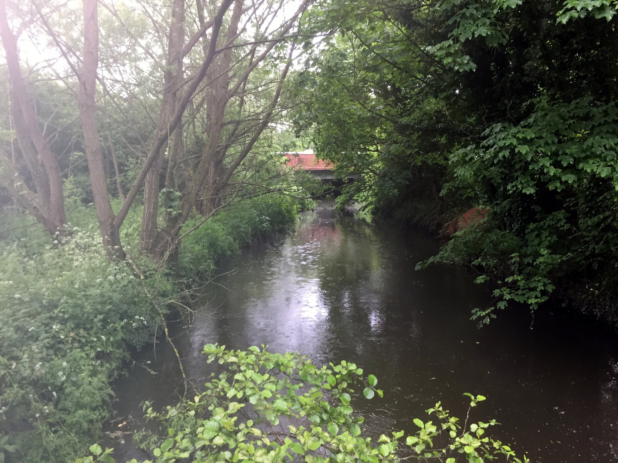
- Gade: starts near B440 in Dagnall, Buckinghamshire, runs 25 km (16 miles) to the River Colne in Rickmansworth, Hertfordshire
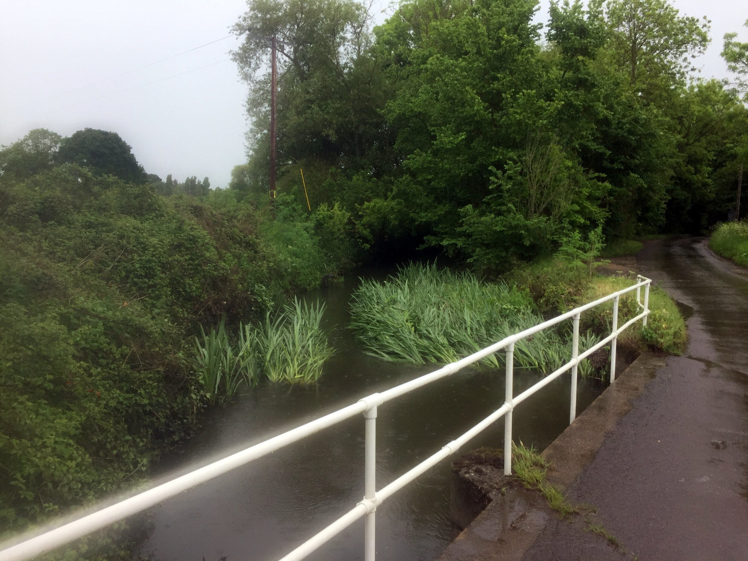
- Ver: starts in the grounds of Lynch Lodge, Kensworth Lynch, runs 24 km (15 miles) to the River Colne in Bricket Wood, Hertfordshire
Cycle route start / end: Rickmansworth Aquadrome, Frogmoor Ln, Rickmansworth WD3 1NB
Cycle route length: 78 km (48.5 miles)
Cycle route ascent: +/- 437m
GPX File: get via Buy Me a Coffee
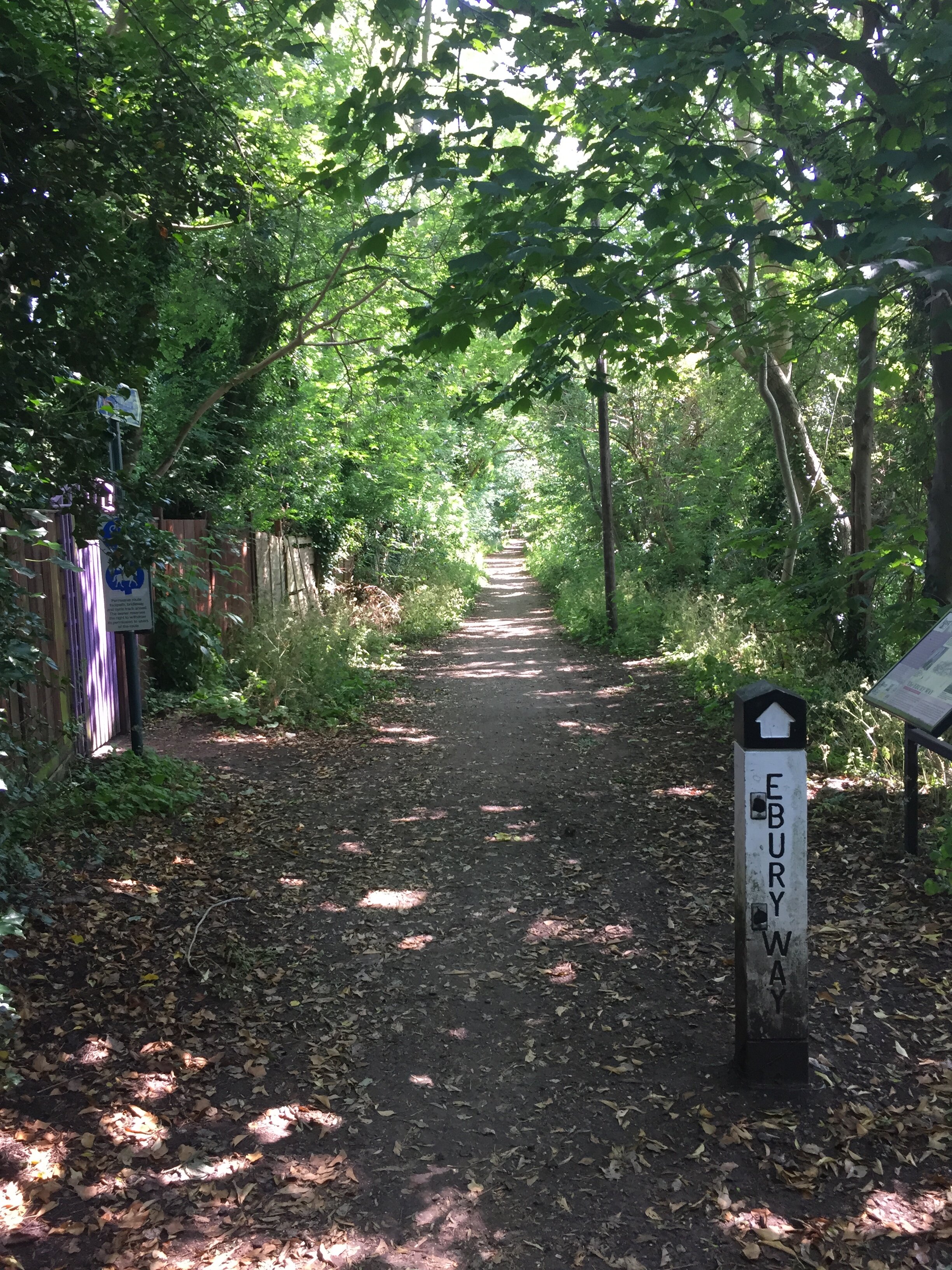
Other routes touched (walk): Chiltern Way, Hertfordshire Way, Icknield Way, River Ver Trail
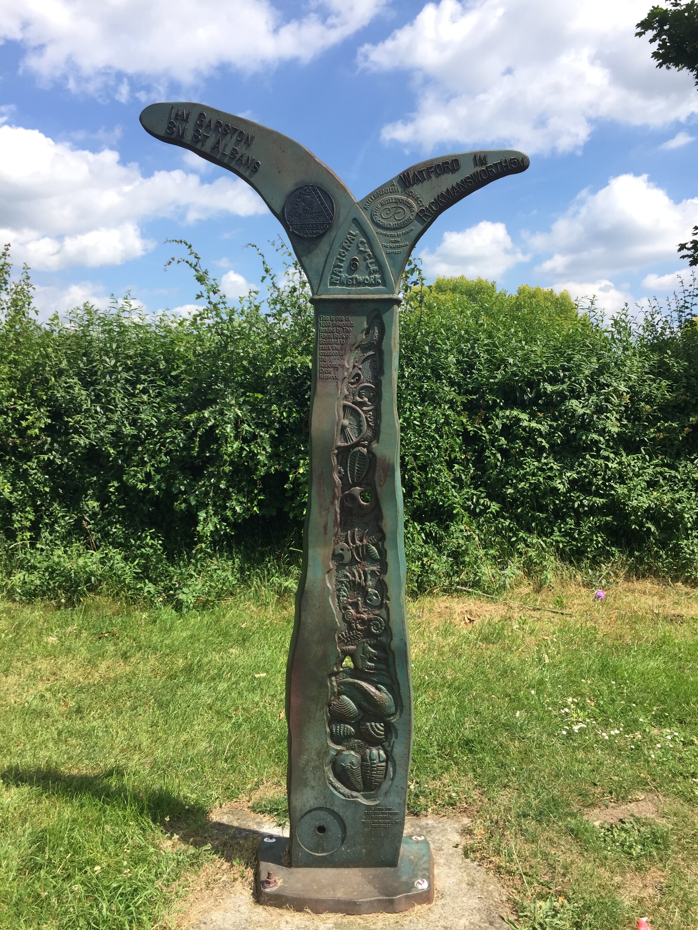
Other routes touched (cycle): NCN routes 57, 6, 61, Chilterns Cycleway, Nickey Line, Grand Union Canal Towpath
Map: OS Explorer Map (181) Chiltern Hills North, OS Explorer Map (182) St. Albans and Hatfield, OS Explorer Map (172) Chiltern Hills East
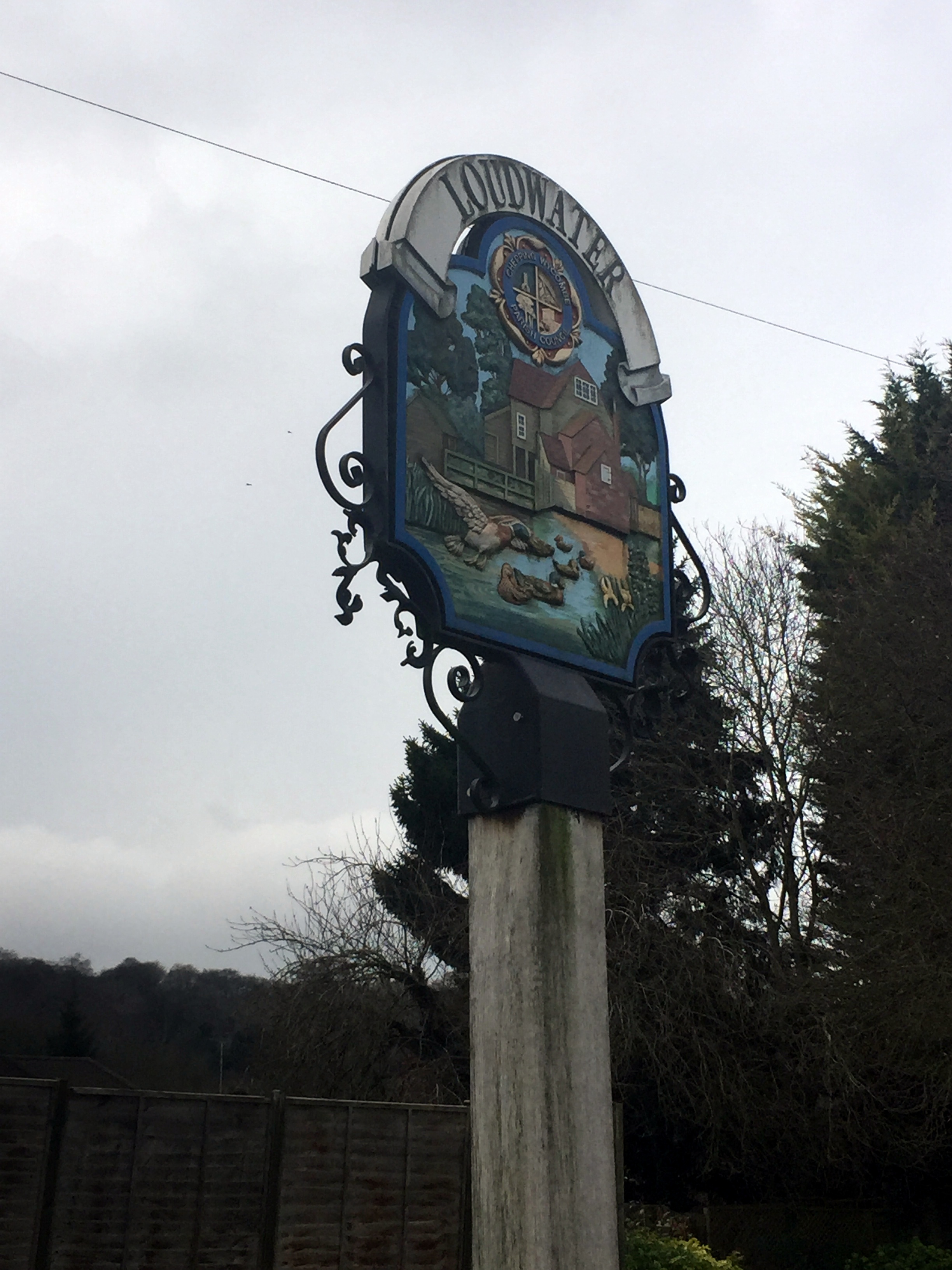
Links: Rickmansworth Aquadome, Hemel Hempstead, Dagnall, Whipsnade, Kensworth, Markyate, St Albans, Bricket Wood
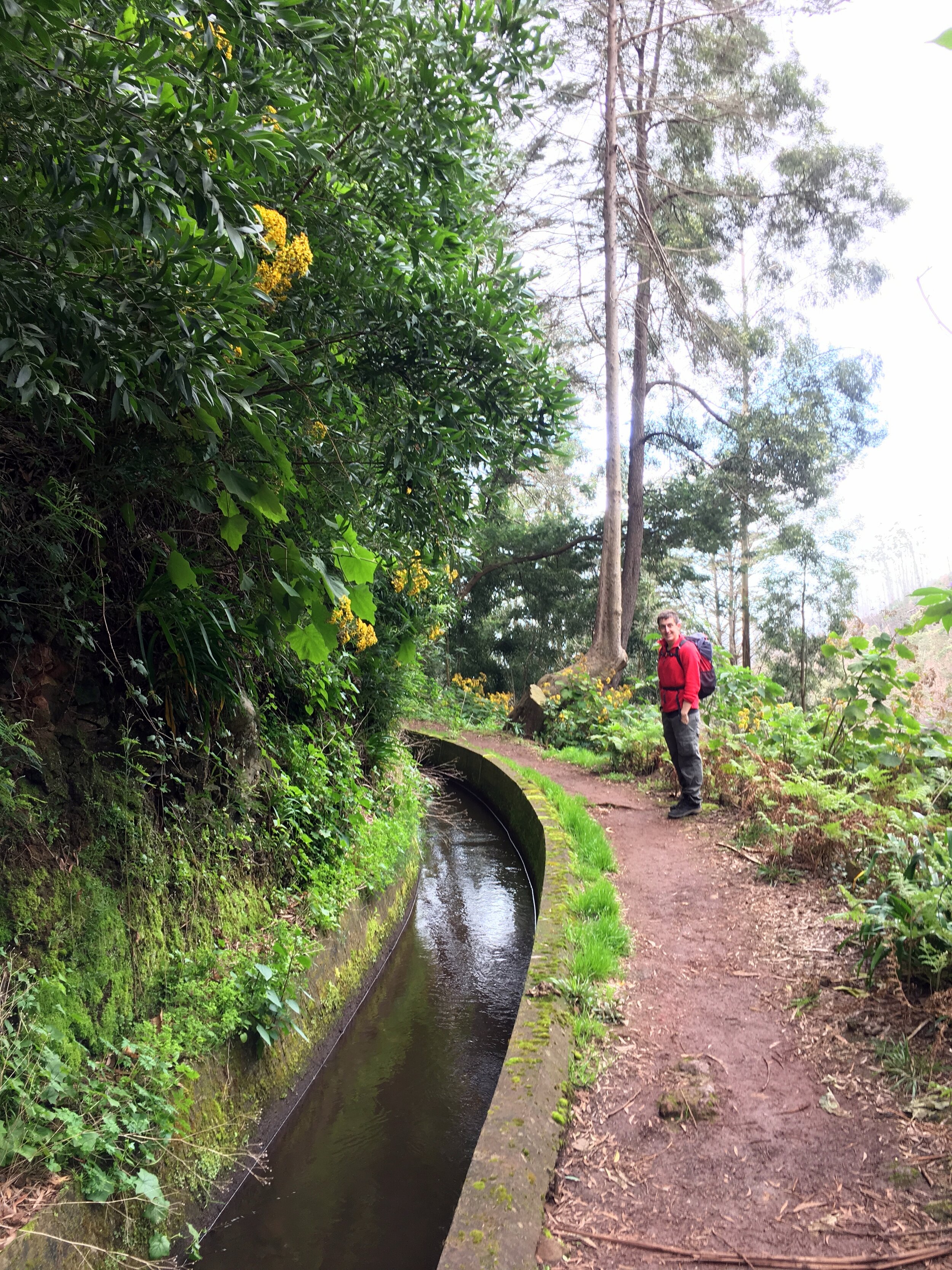
Today's 50-mile cycle trip was both a training session for July's Ireland trip and a 2 ticks for the price of 1 for the Chiltern Rivers. Both the Gade and the Ver start high in the Chilterns and meander south, eventually joining the Colne. Neither has well-defined paths next to the rivers, so they're best followed by bike along nearby roads.
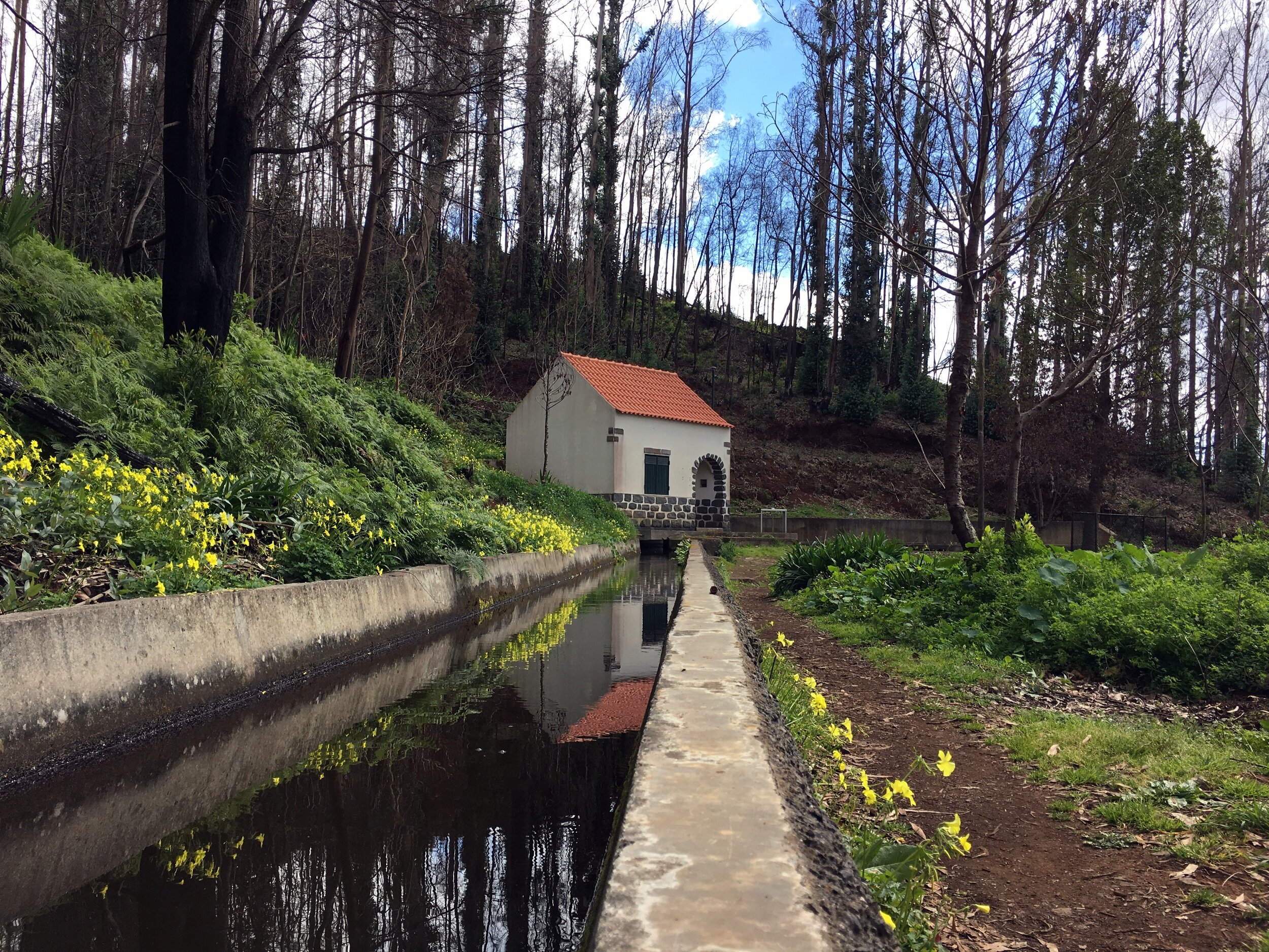
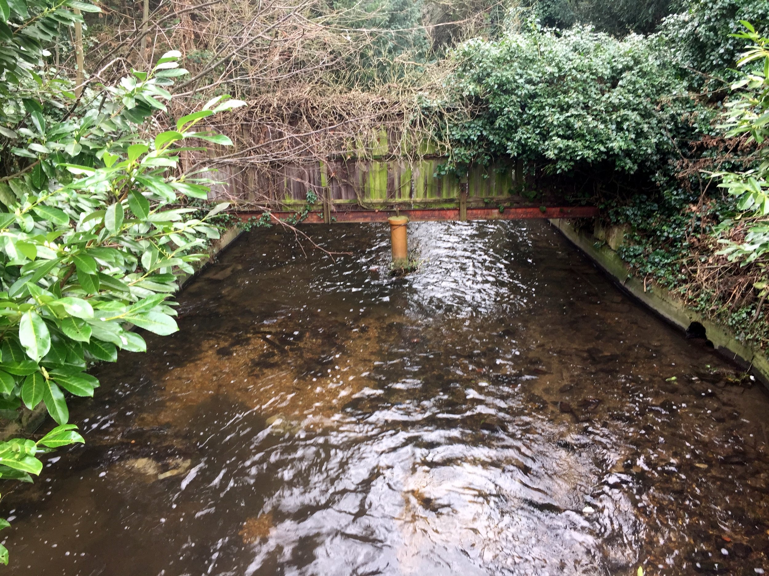
The Gade can be seen many times after Hemel Hempstead as it keeps close to the main road to Leighton Buzzard. The Ver was less interesting and I barely saw it at all on the trip. The River Ver Trail, which I noticed on a few signs whilst speeding by, is a better way to see the river at a much slower pace.
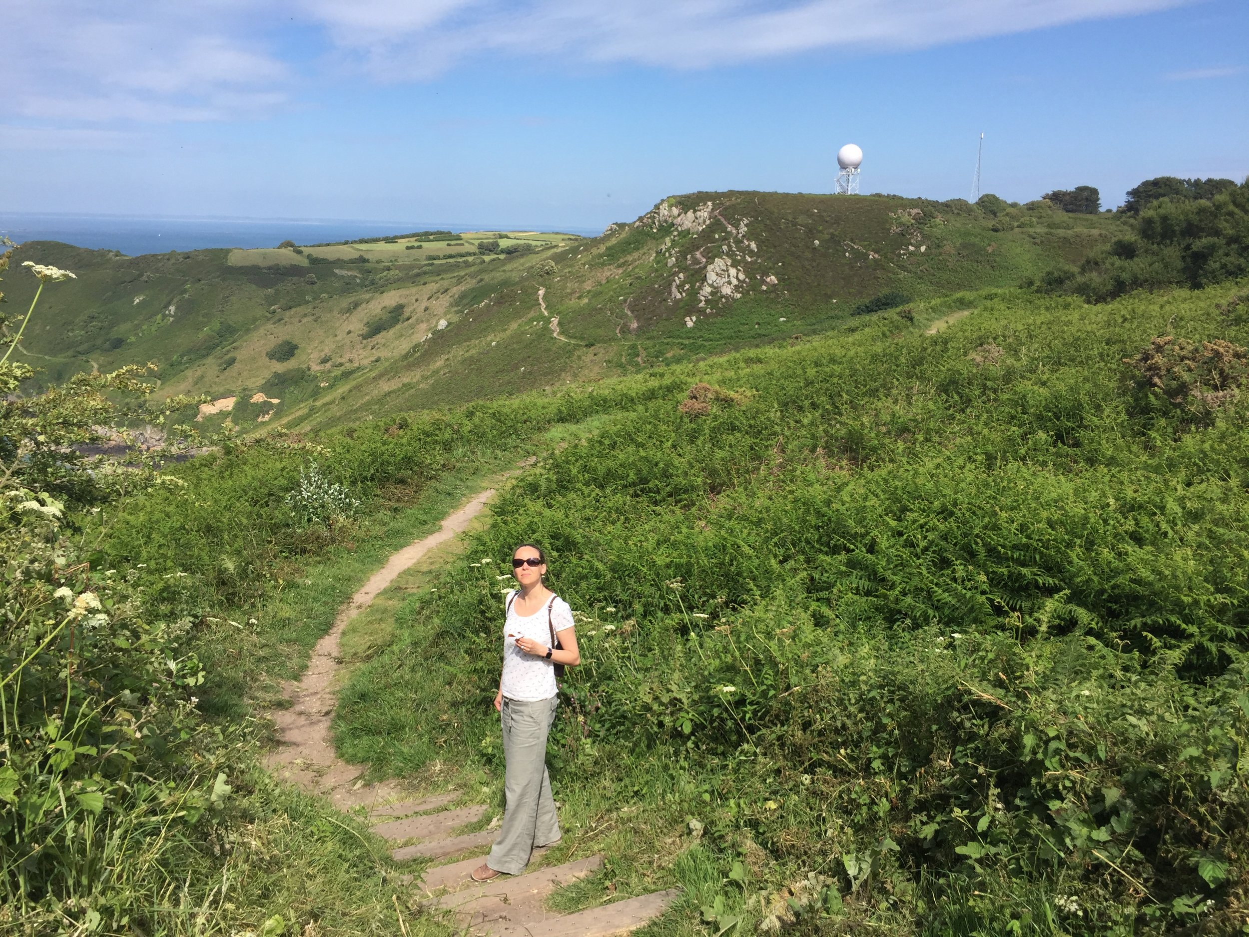
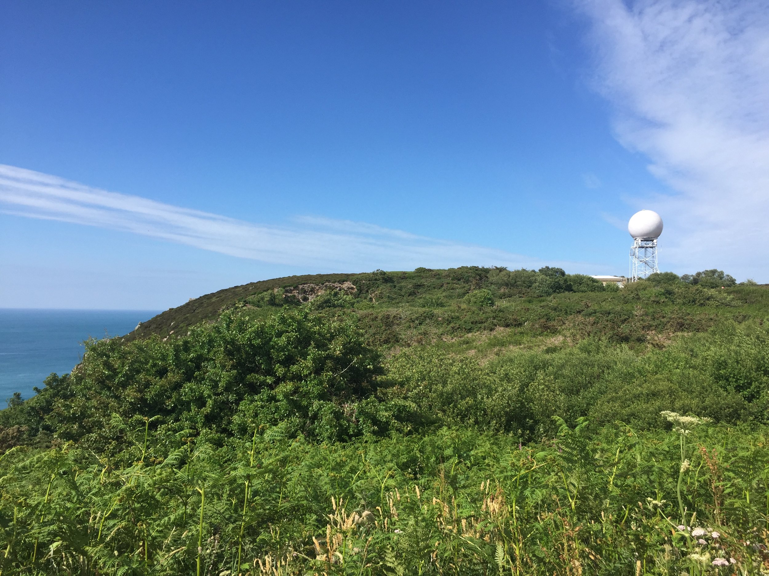
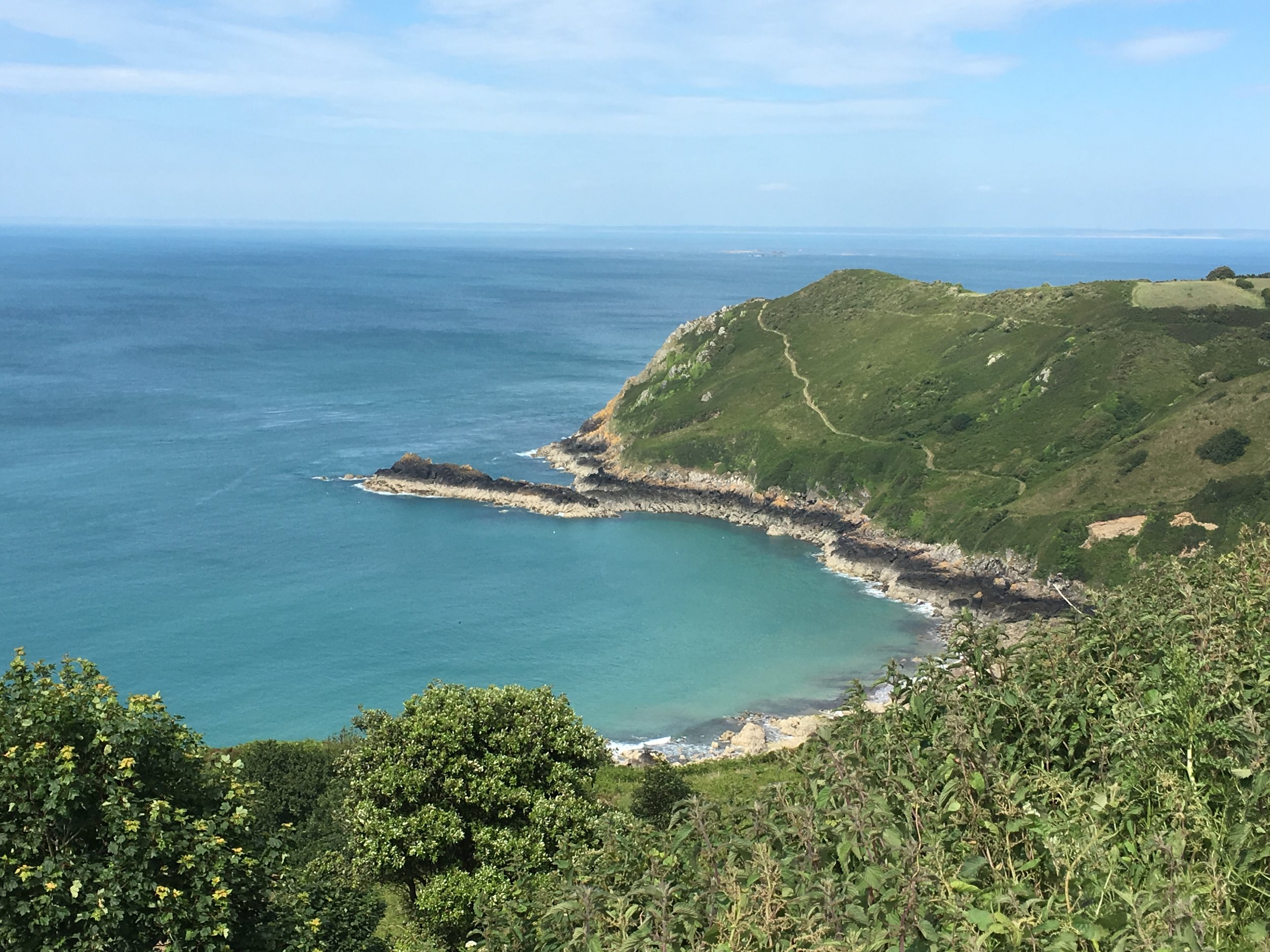
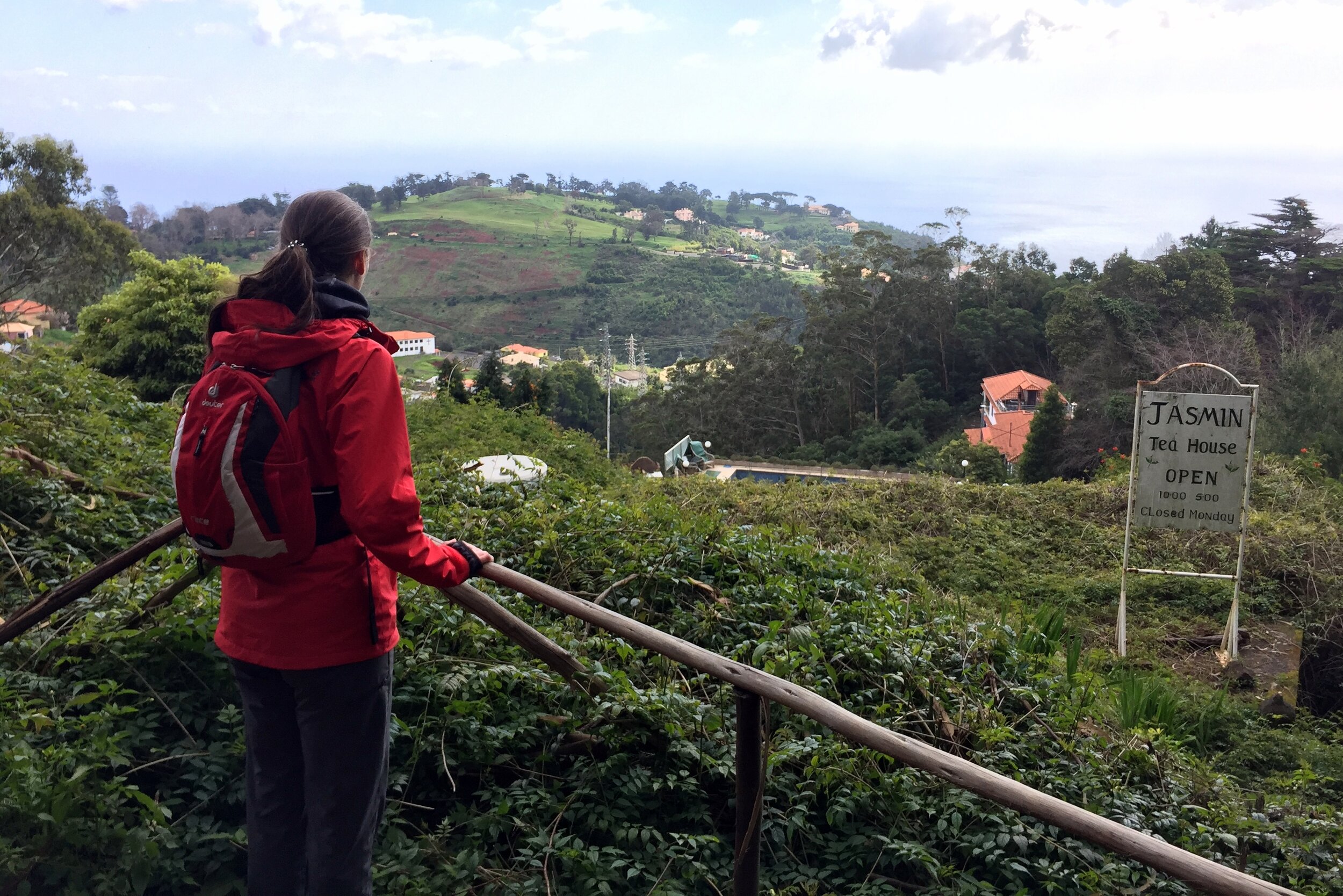
The cycle route makes for a very pleasant adventure with a mix of canal, parks, country roads and quaint villages. There's a few stretches along busier A roads, but nothing too scary. The downhill stretch through Whipsnade and Kensworth after climbing Bison Hill is a particular highlight.
Here's the route:
The Gade
Start at the free car park at Rickmansworth Aquadome.
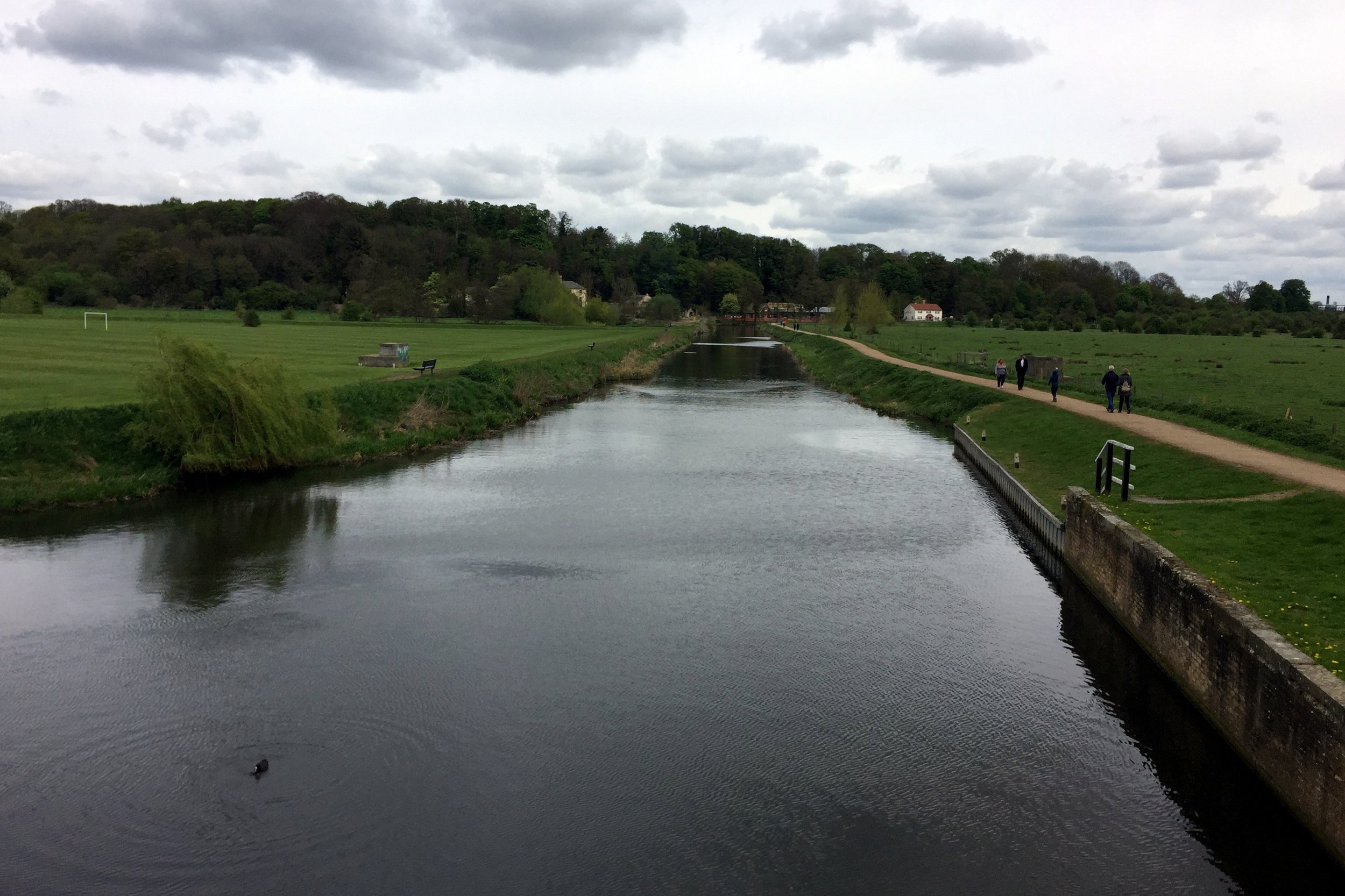
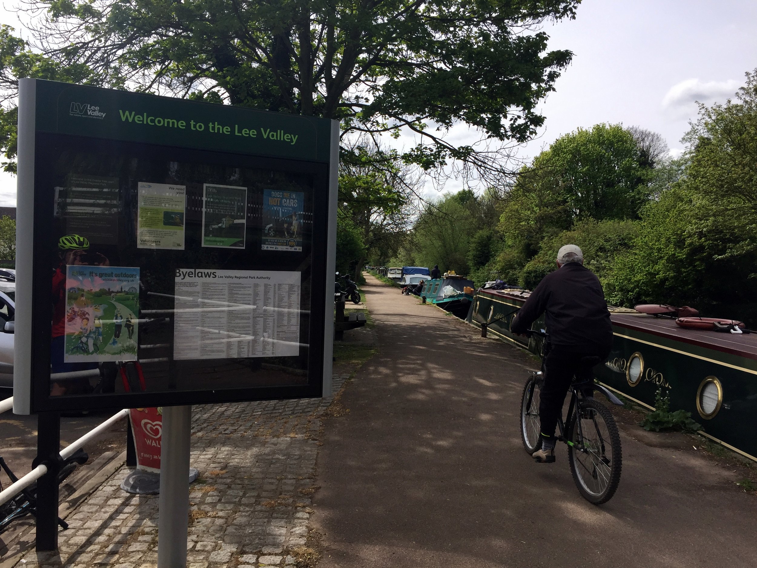
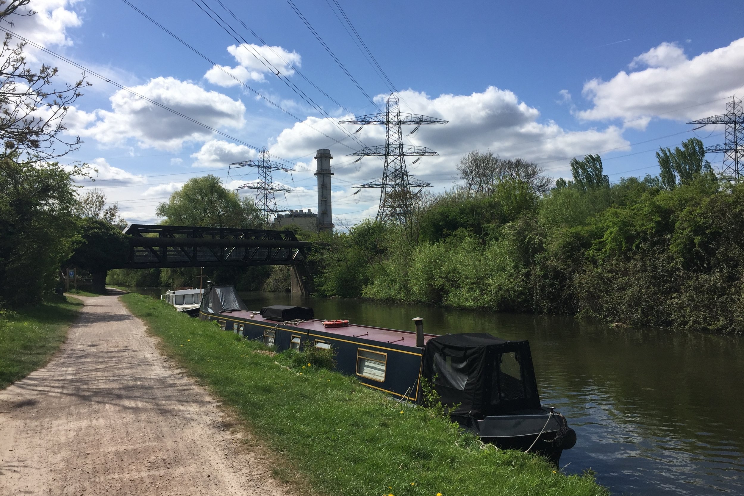
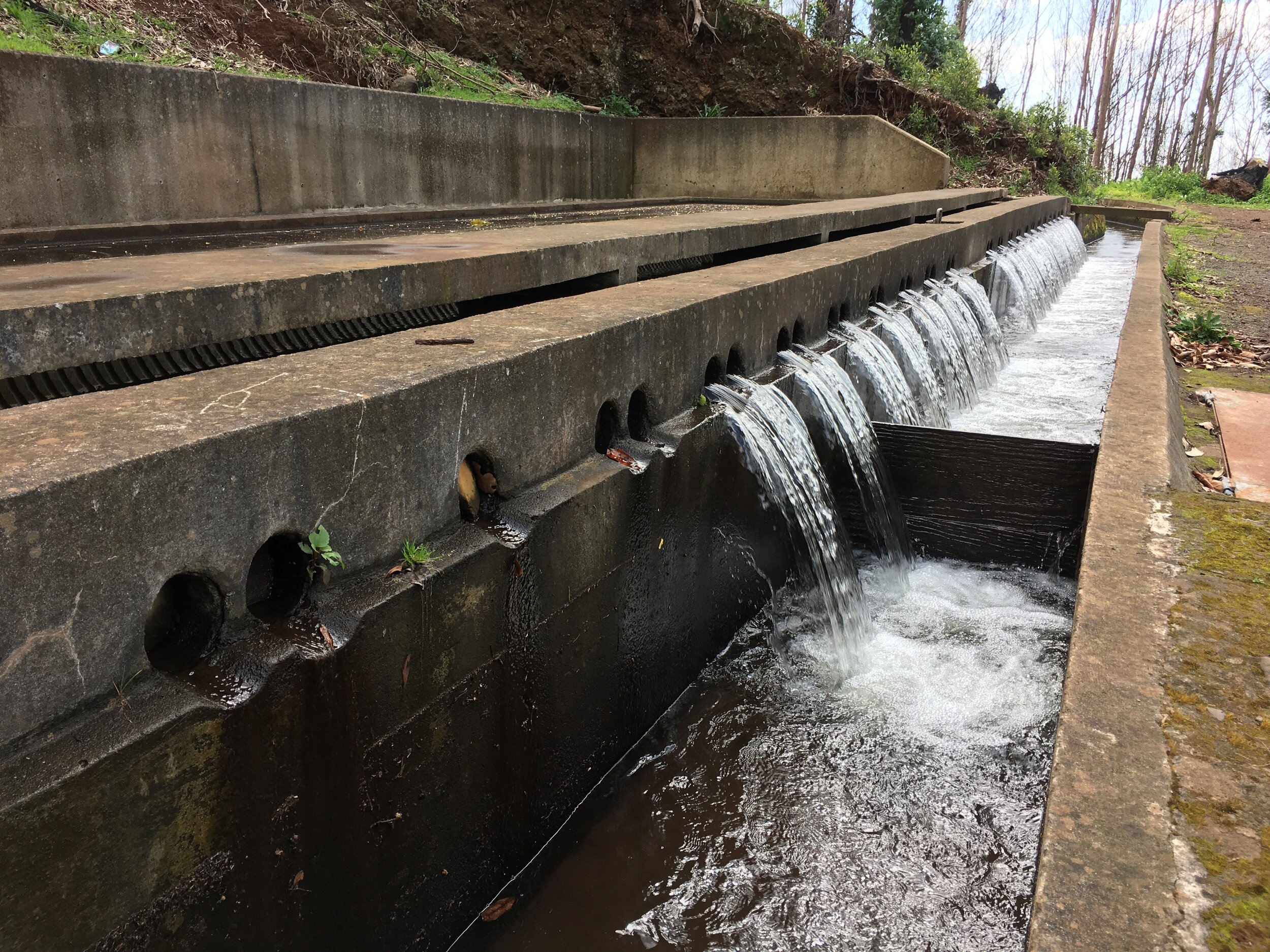
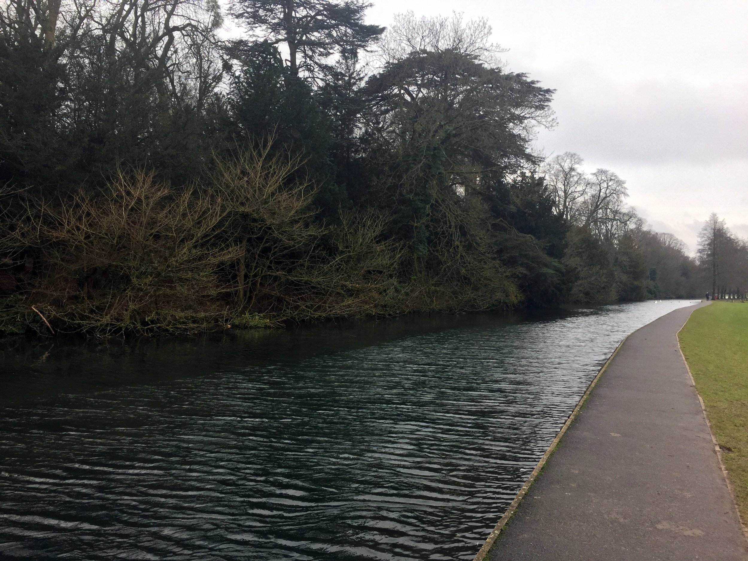
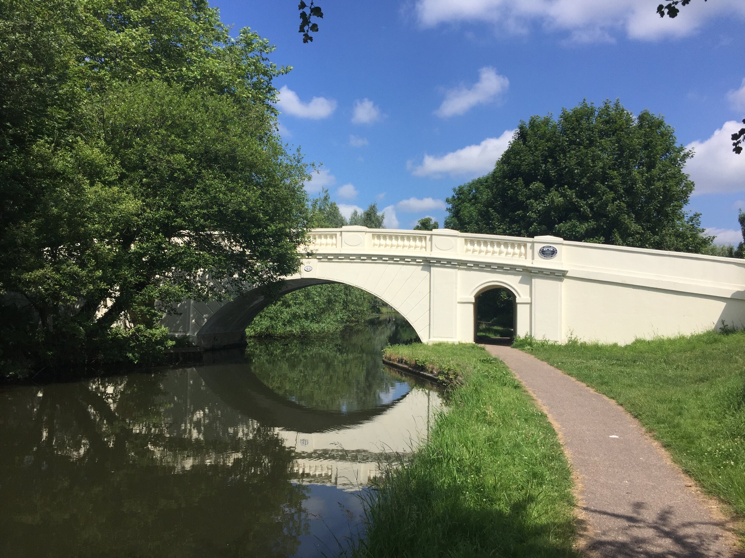
Follow Grand Union Canal north to Hemel Hempstead
Turn right onto Two Waters Road heading north. Take the underpass under the Plough roundabout.
Keep the Gade to your left, taking Waterhouse Street then Marlowes to Gadebridge Park
Keep to the right of Gadebridge Park, exiting to Piccots End Road, continuing to Leighton Buzzard Road.
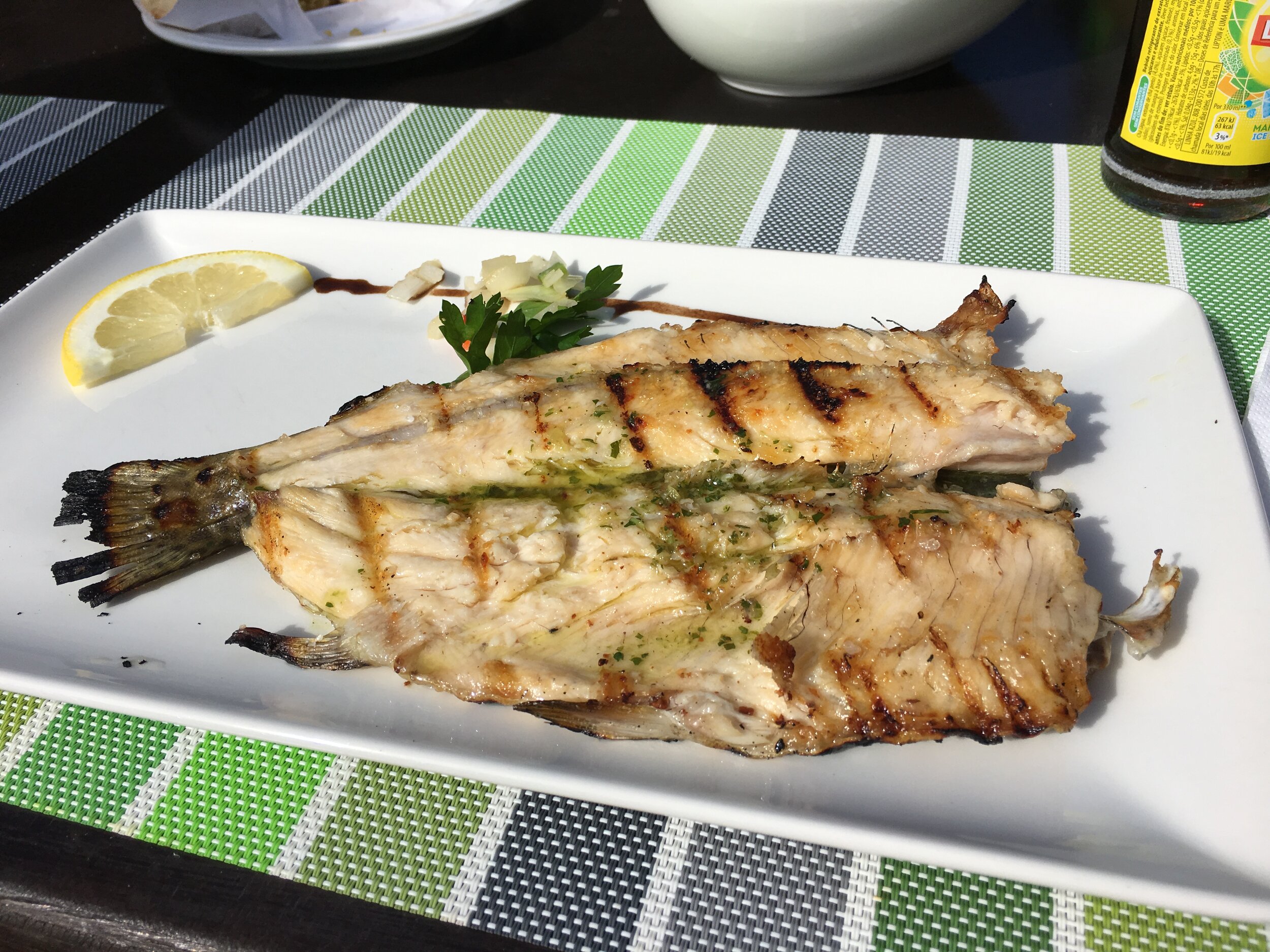
Continue north until the Red Lion pub at Dagnall. Celebrate with lunch.
Between the Gade and Ver
After the Red Lion, double back for a couple of hundred metres then turn left onto the Dunstable Road towards Whipsnade.
After about a mile turn right onto the B4540, taking the steep(!) Bison Hill up to Whipsnade.
Continue past Whipsnade village, eventually reaching Kensworth, the source of the Ver.
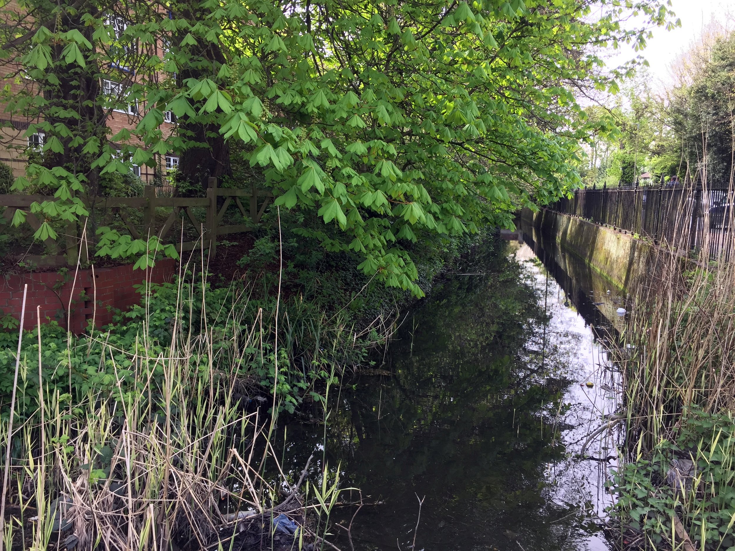
The Ver
Continue along the B4540 until it reaches the A5, turn right.
Follow the A5 to the M1 junction, briefly diverting along Old Watling Street just past Markyate.
After the M1 junction, continue straight on Dunstable Road to the roundabout at the edge of St Albans.
Take the 3rd exit onto the A4147, following signs for Old Verulamium.
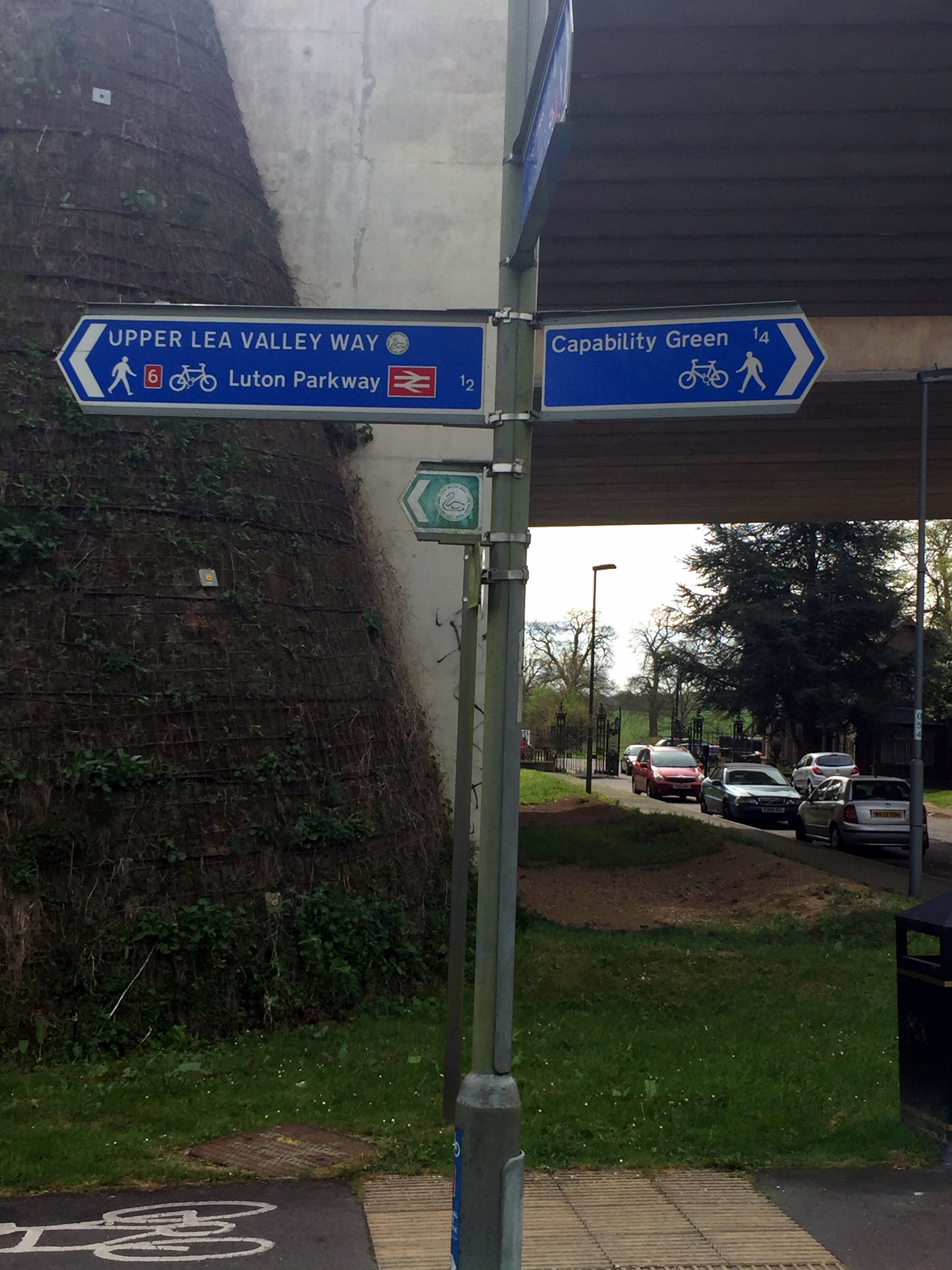
At the park, follow signs for the St. Albans Greenway until it meets NCN Route 6/61
Turn right / south onto NCN Route 6/61, following it all the way back to Rickmansworth Aquadrome.
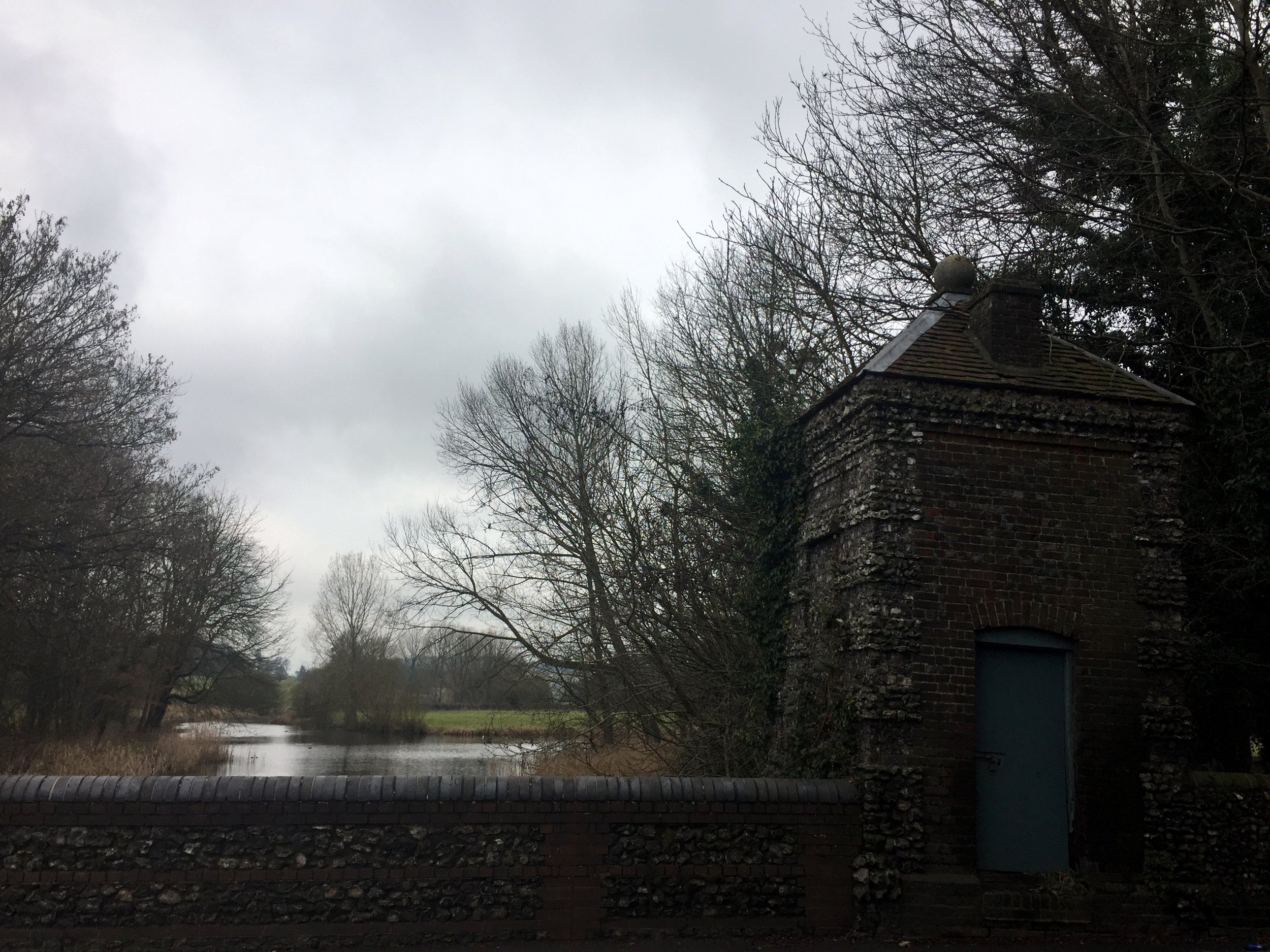
The Ver meets the Colne just south-east of Bricket Wood station. I didn't search for it but, from the map, it looks like you can there via Drop lane, opposite the station.
Return to the Start
From Bricket Wood, continue on NCN 6/61 to Rickmansworth Aquadrome
Above: Red shows the course of the Gade and Blue shows the Ver. Green shows the cycle route.


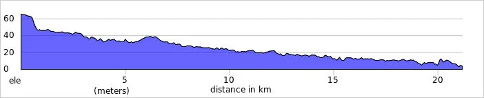
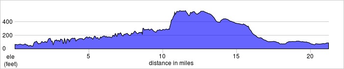
Elevation for cycle route