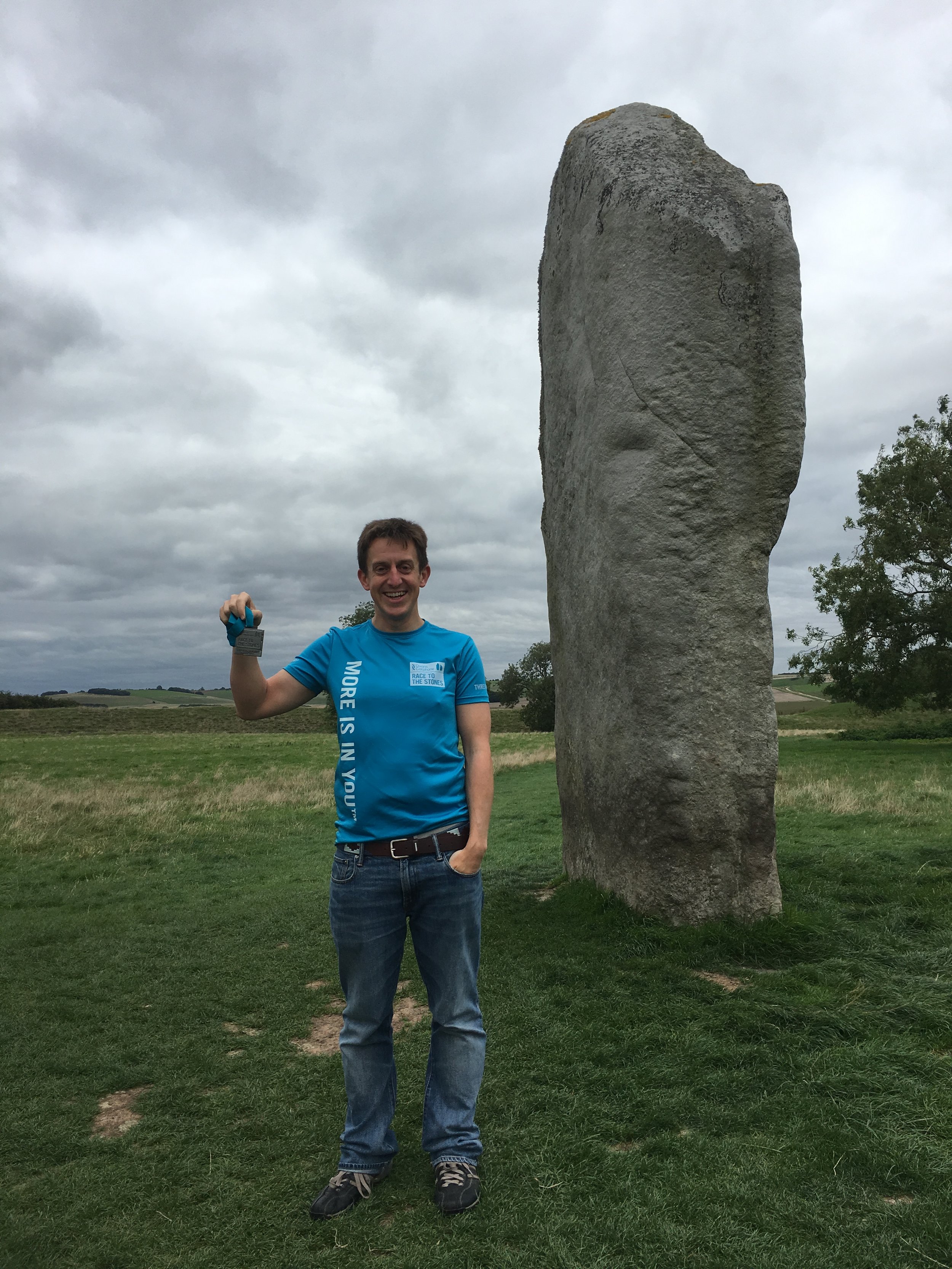
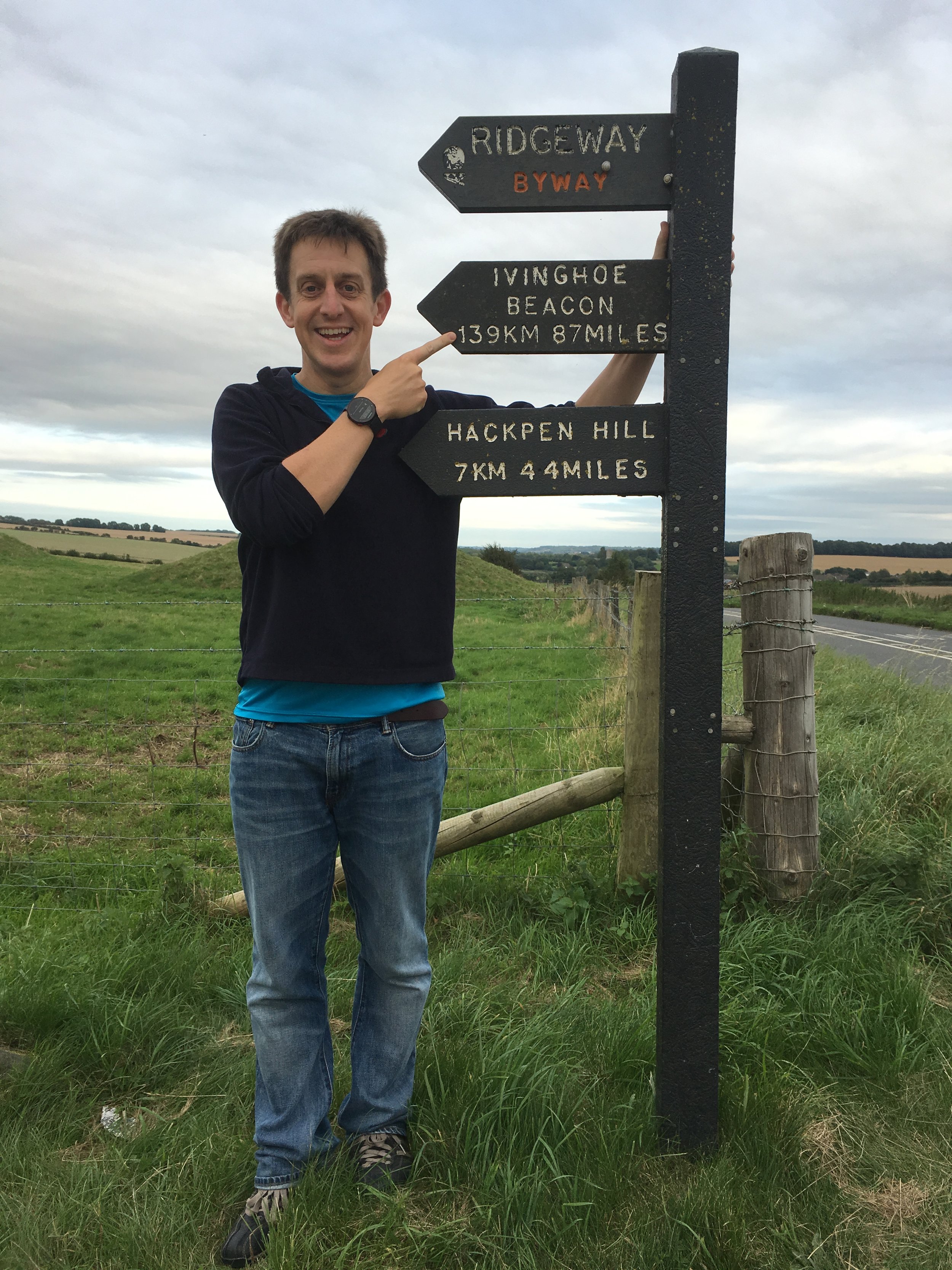
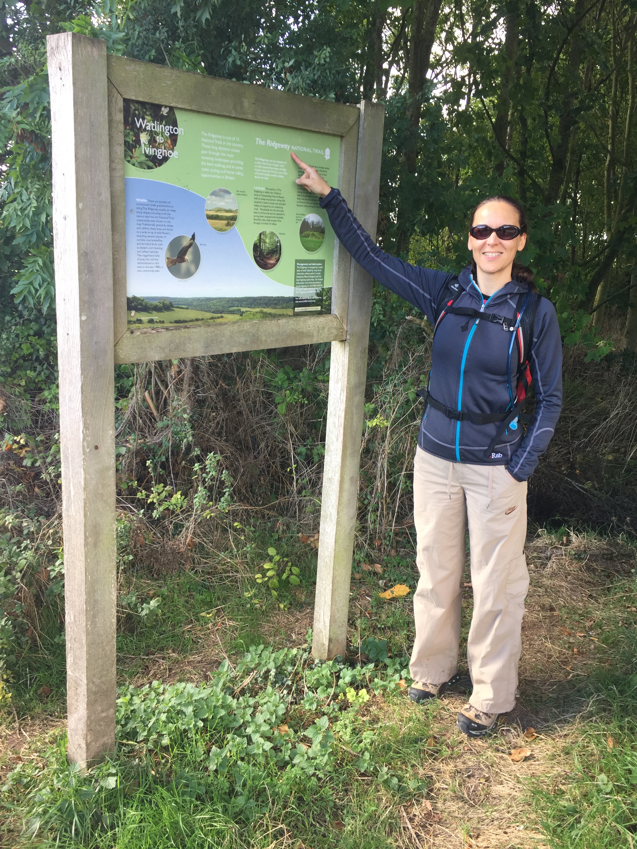
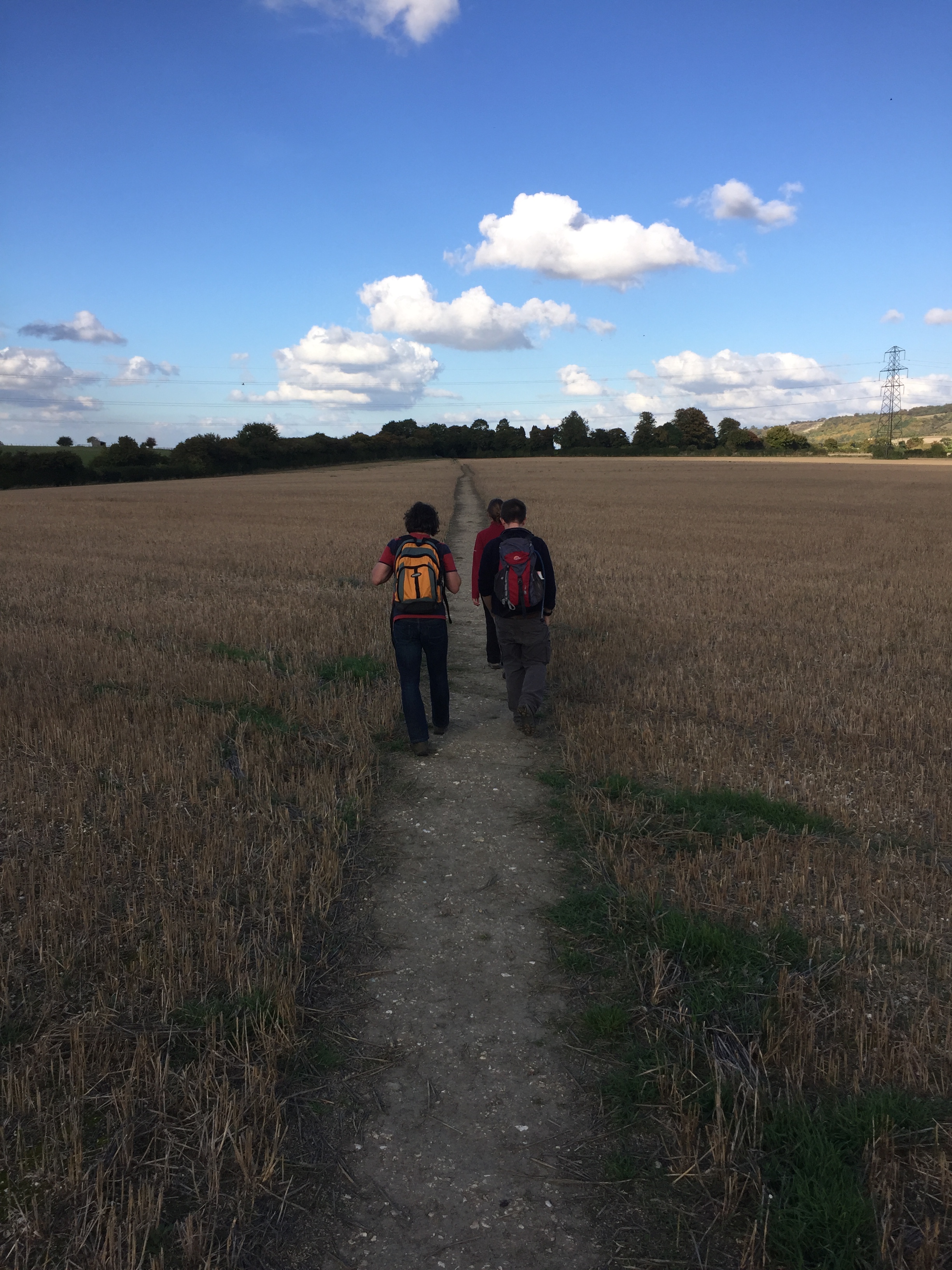
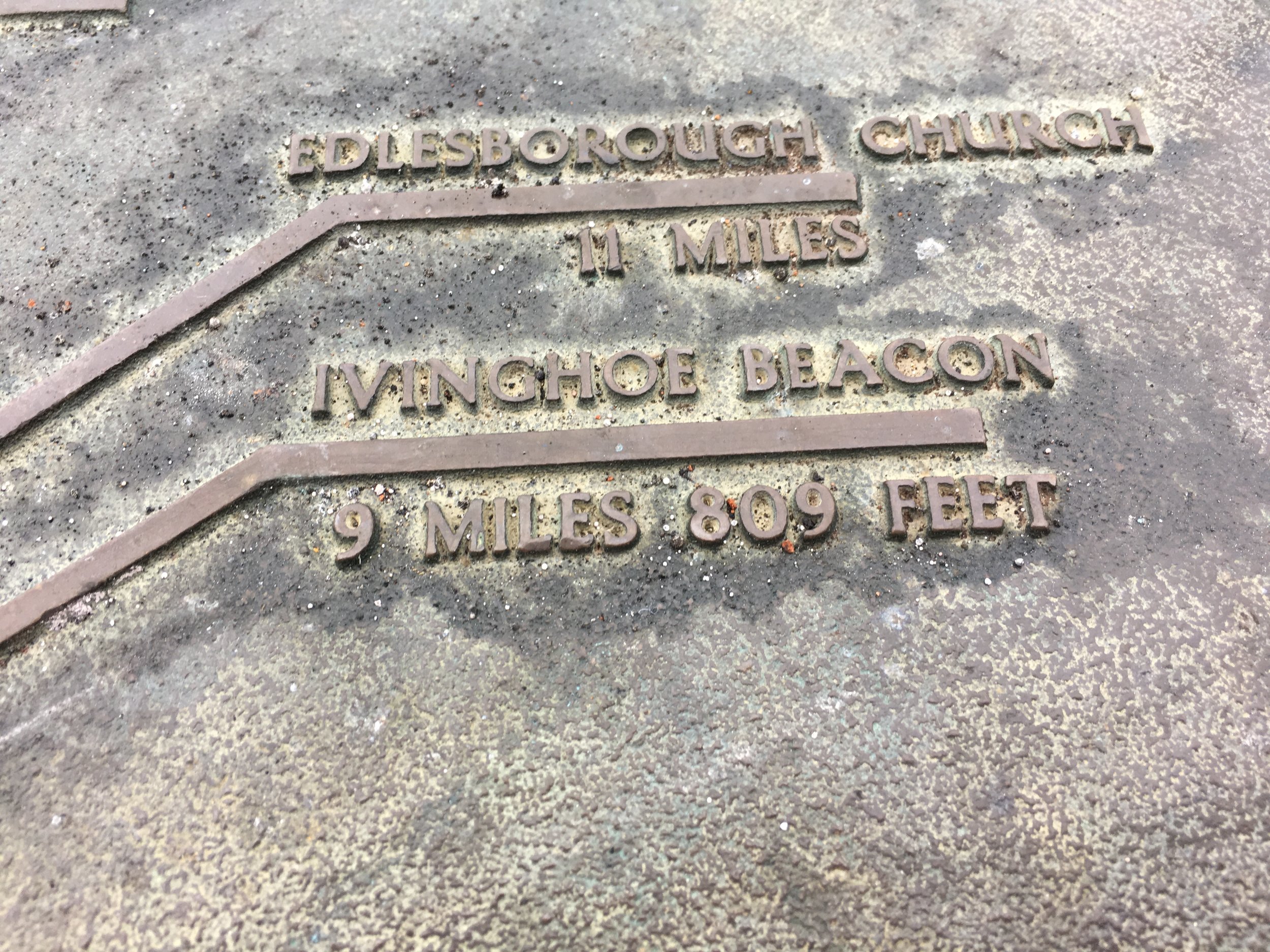
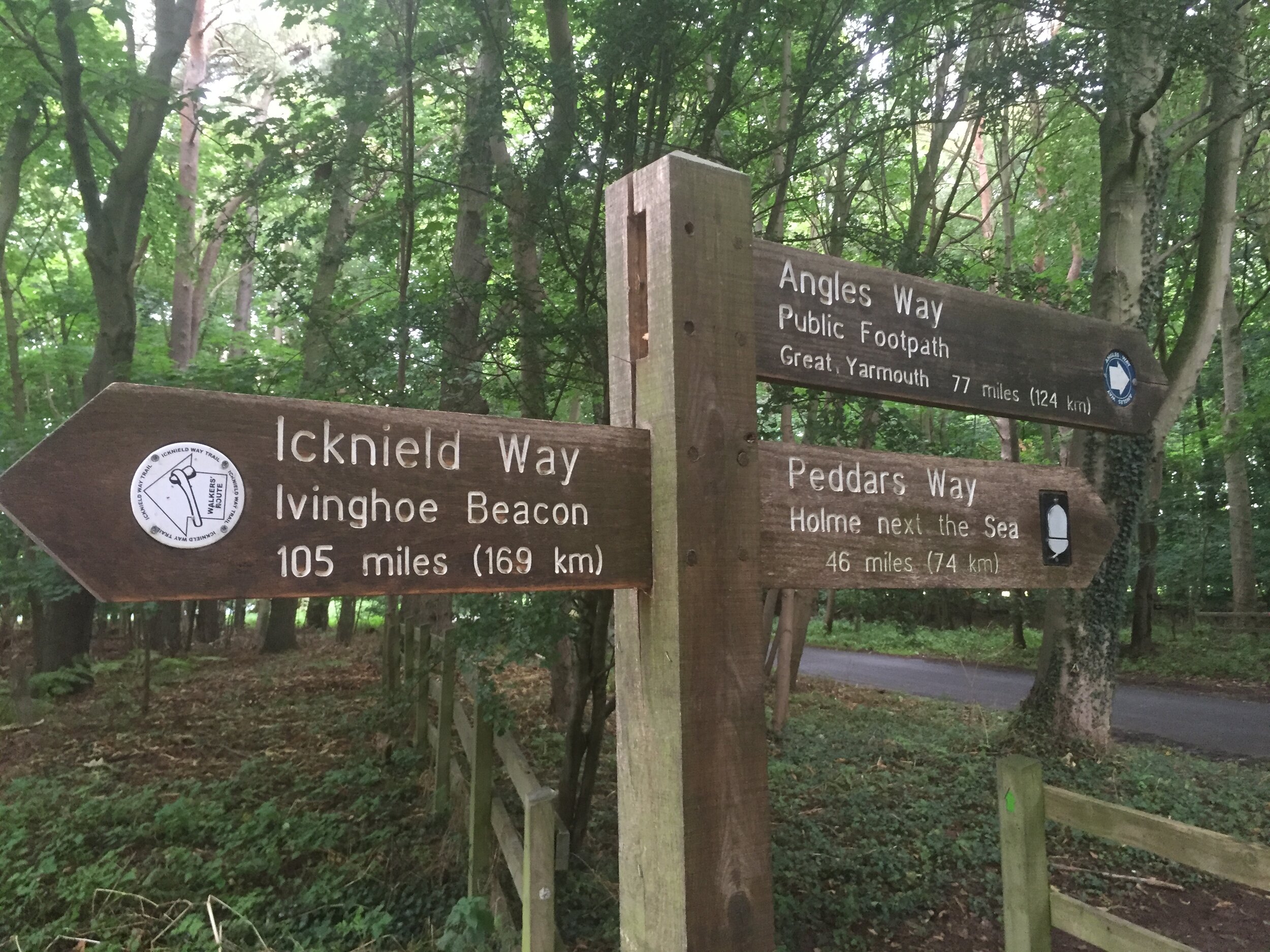
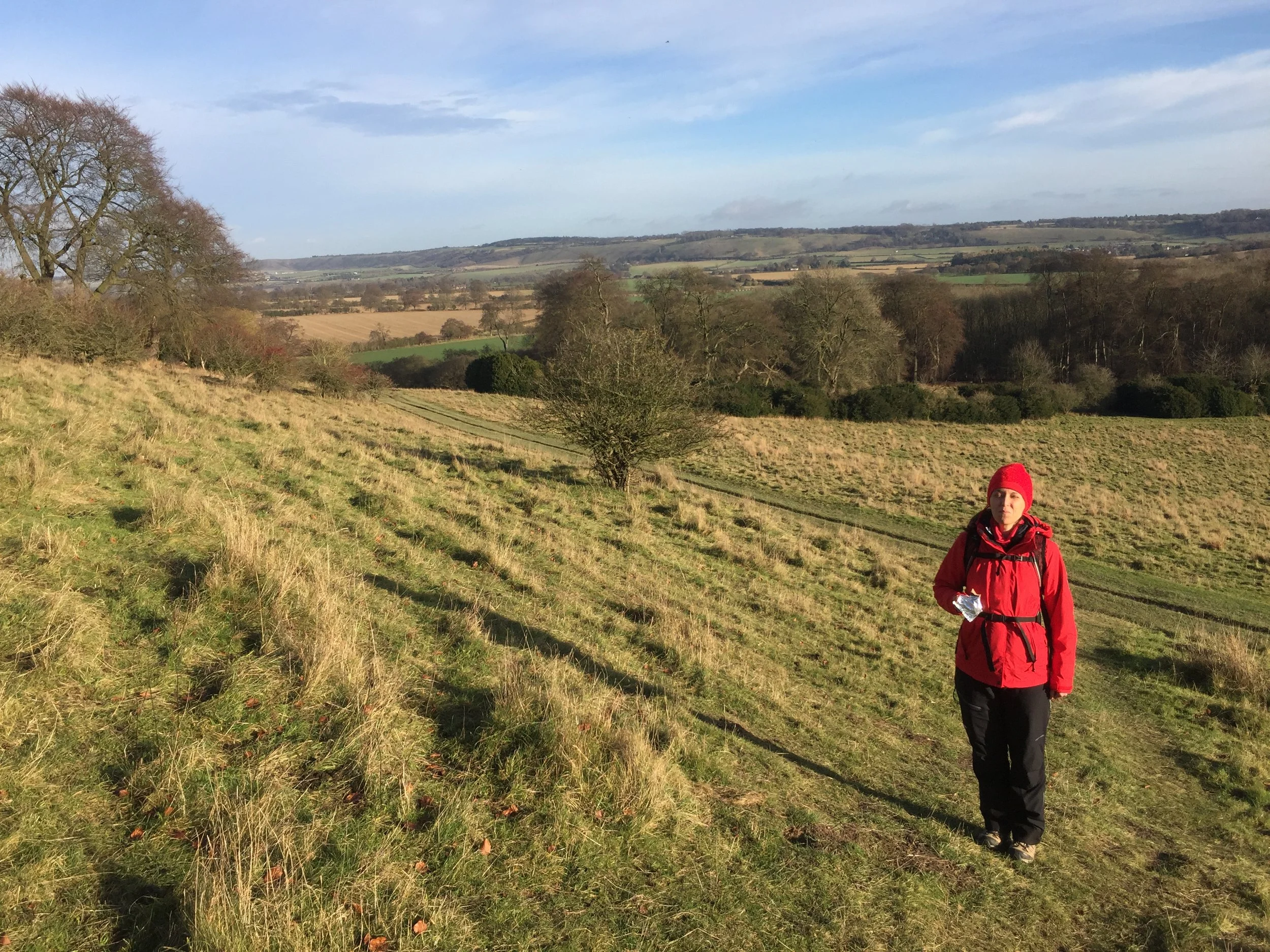
Having been on a (literal) high following our completion of the Ridgeway we were keen to continue our winter walking adventures. The Icknield Way was the obvious continuation as the 2 paths meet at Ivinghoe Beacon. From there the Icknield Way heads north-east for 110 miles to Knettishall Heath in Norfolk which is also the start of the Peddars Way. I loved the idea of connecting my 2 previous adventures, so Wife and I started our Icknield wander.
We broke our first section, Ivinghoe Beacon to Chalk Hill, into 2 separate Sundays. This worked well with our new routine of ~5 mile point-to-point winter walks leaving a car at each end. Although the sections of the Ridgeway trip were all short car trips from our home, the driving was getting long enough to start getting boring by the time we’d finished this first section. Next time I’d be back would be 2 years later for the next section.
The guidance below will help you navigate but don’t use it as a fully accurate turn-by-turn guide. Always take a map and/or a GPX route and prepare well for the weather and terrain.
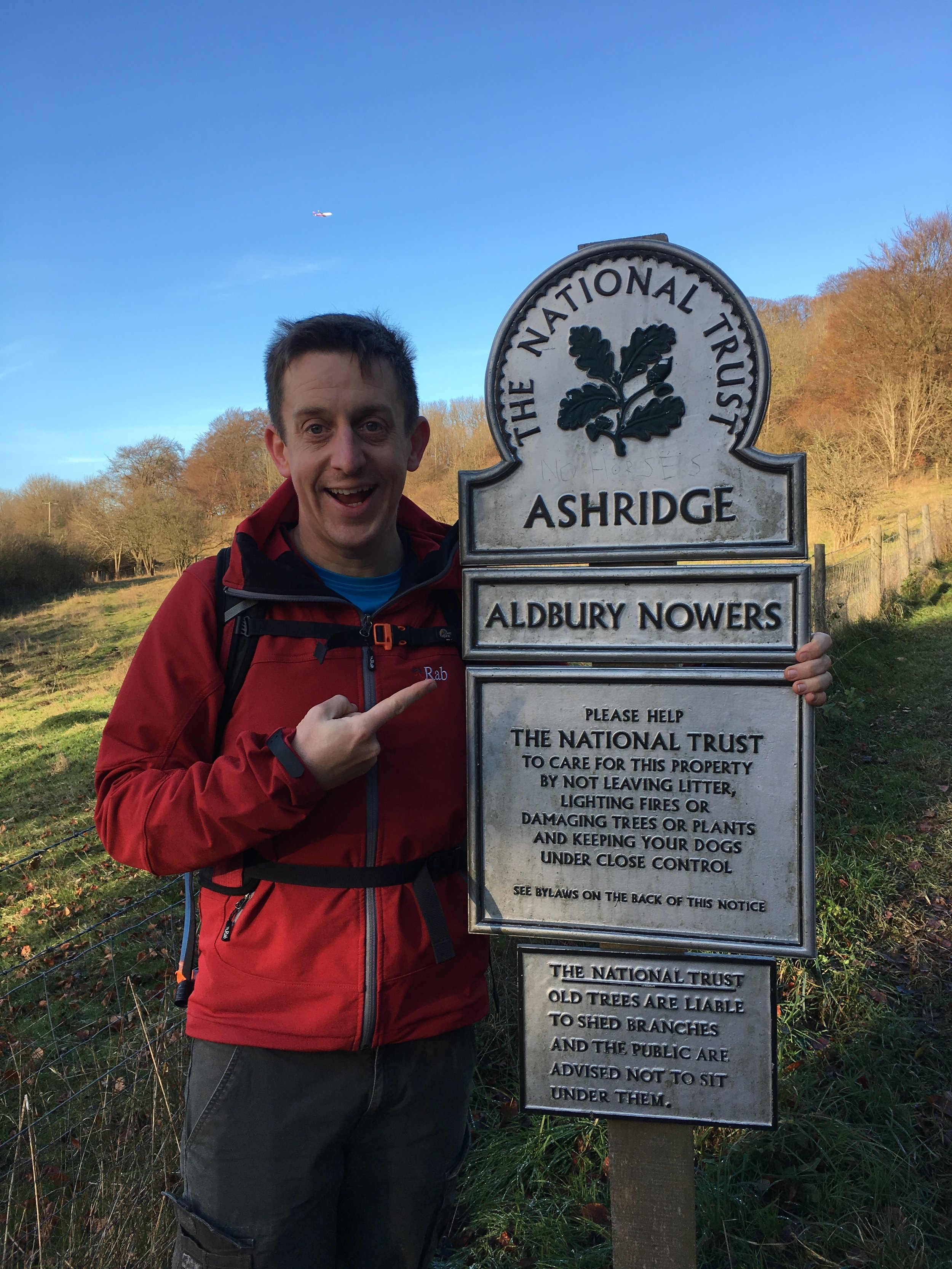
Part 1: Ivinghoe Beacon to Chalk Hill
Start: National Trust Car Park at Ivinghoe Beacon (LU6 2EG)
Finish: The White Lion Pub, Watling Street / A5 (LU6 1RS)
Distance: 17.5 km (11 miles)
Elevation: +197m / - 307m. Net -110m
GPX File: get via Buy Me a Coffee
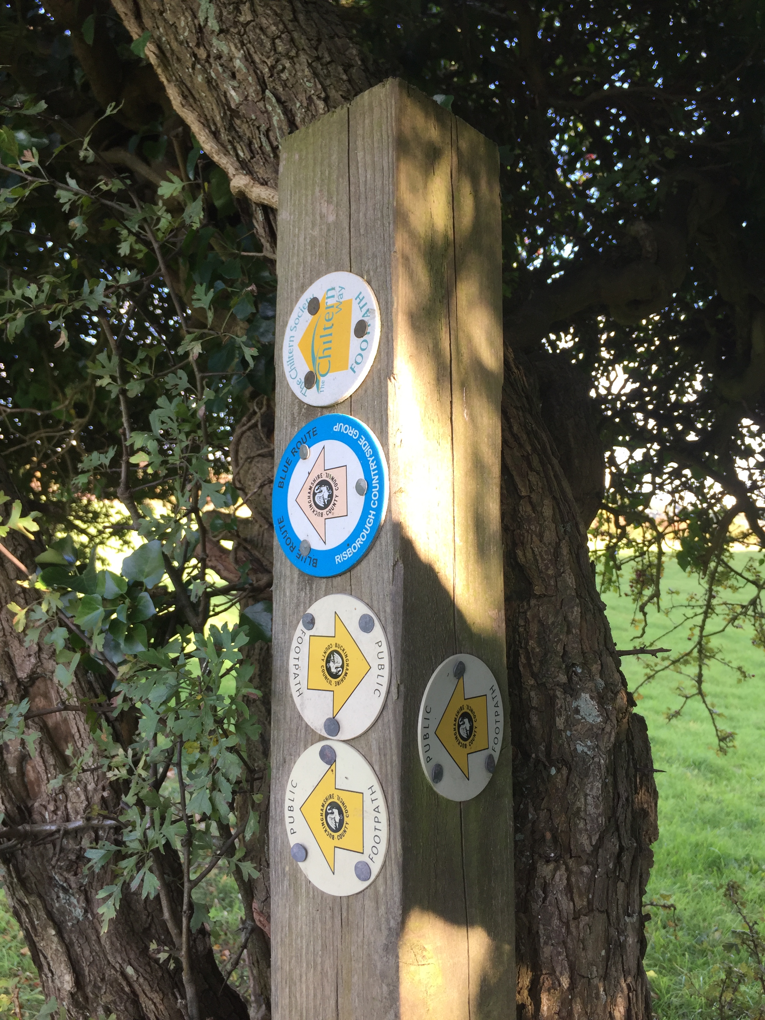
Other Routes Touched (walk): Ashridge Boundary Trail, Chiltern Way
Other Routes Touched (cycle): NCN 6
Maps:
- OS Explorer Map (181) Chiltern Hills North
- OS Explorer Map (181) Chiltern Hills North
- OS Explorer Map (193) Luton and Stevenage
Guidebook: The Icknield Way Path: A Walkers' Guide
OS Trig Pillars: TP1099 - Beacon Hill and TP0379 - Dunstable Down
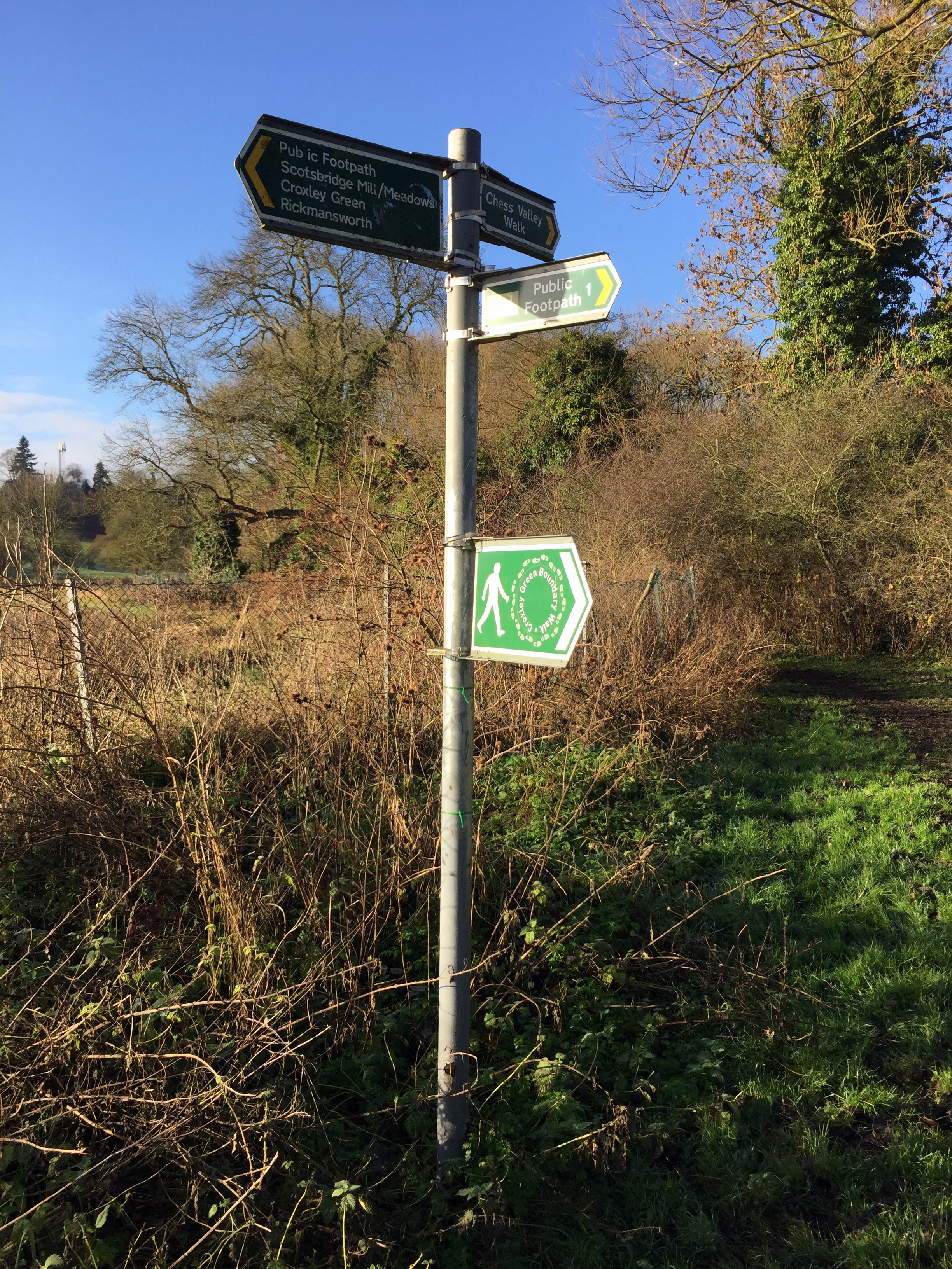
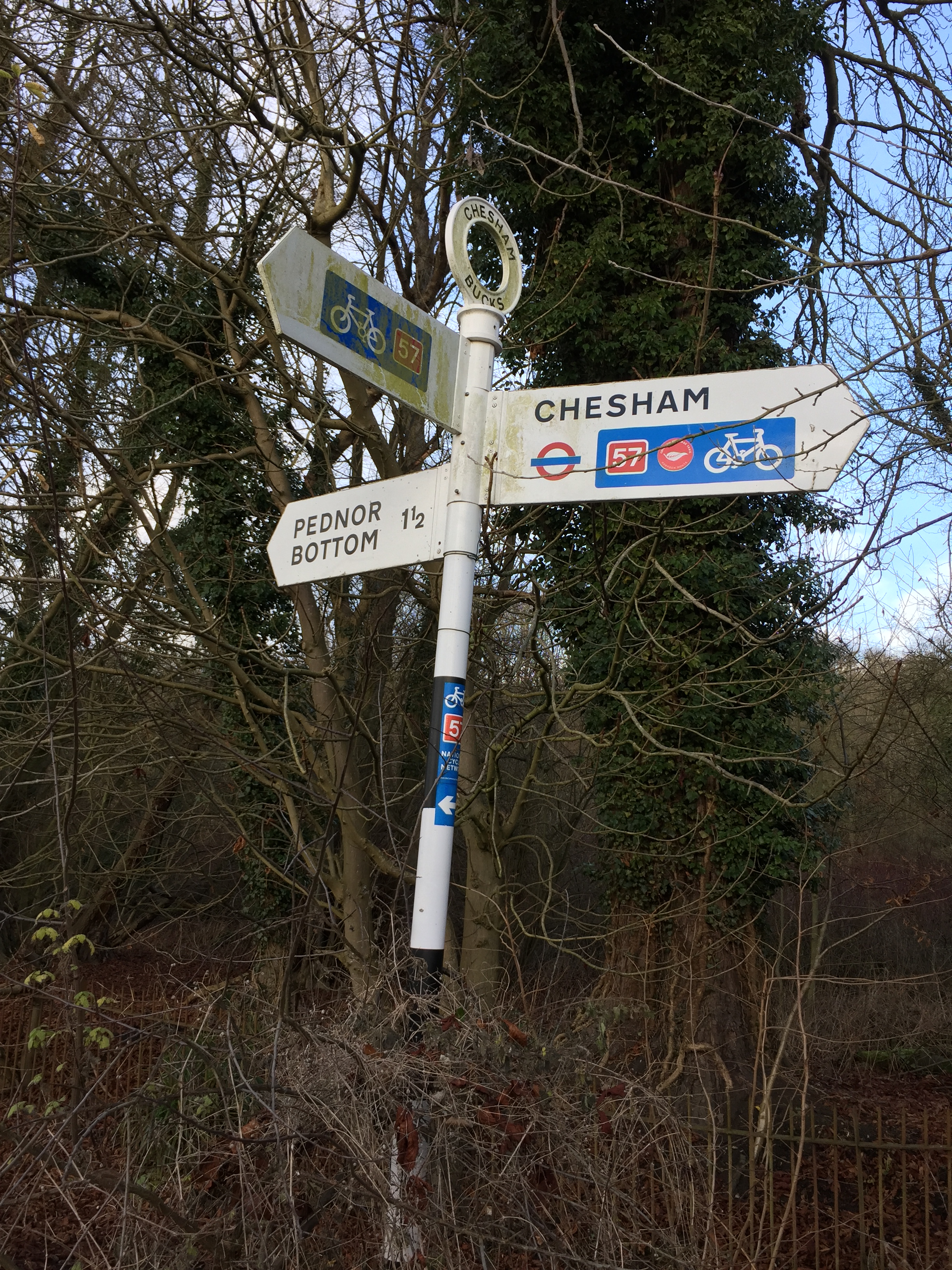
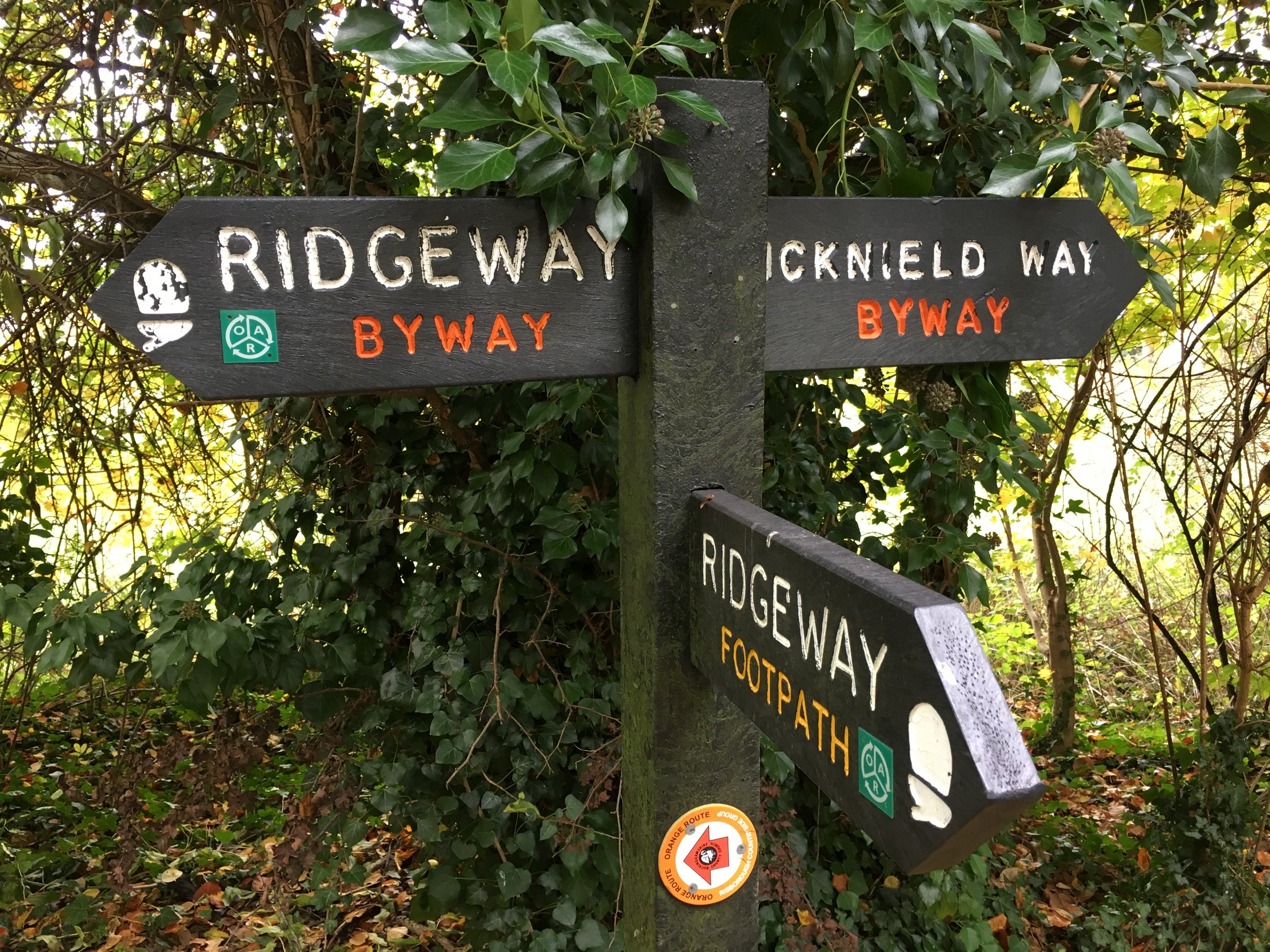
Links: Icknield Way Wikipedia entry, www.icknieldwaytrail.org.uk, www.icknieldwaypath.co.uk
- National Trails page on the Icknield Way Trail (Rider's Route and Walker's Route)
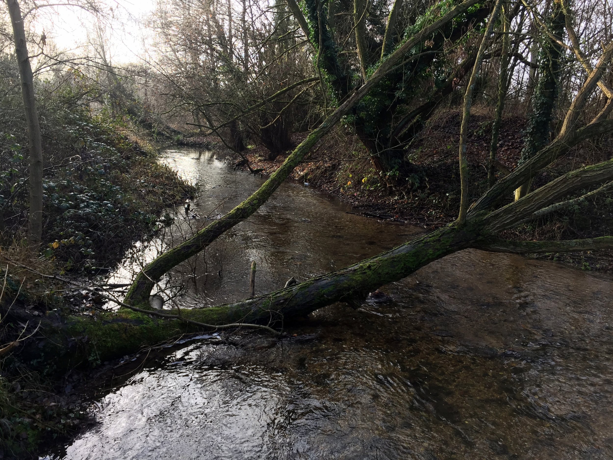
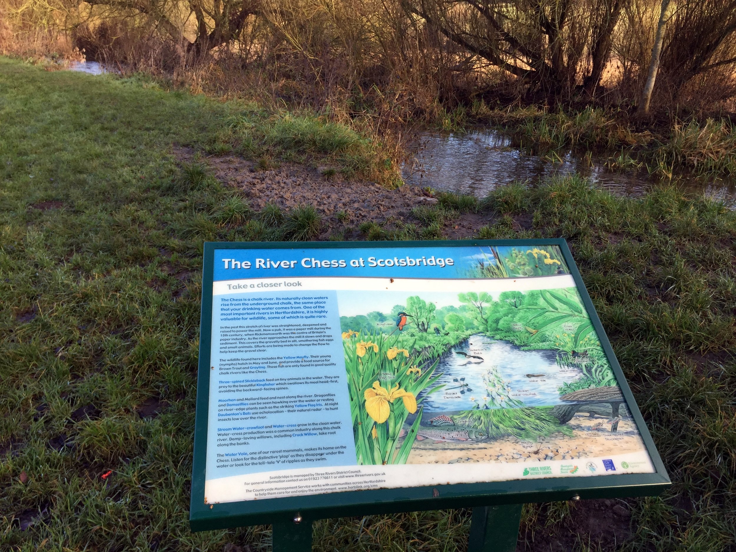
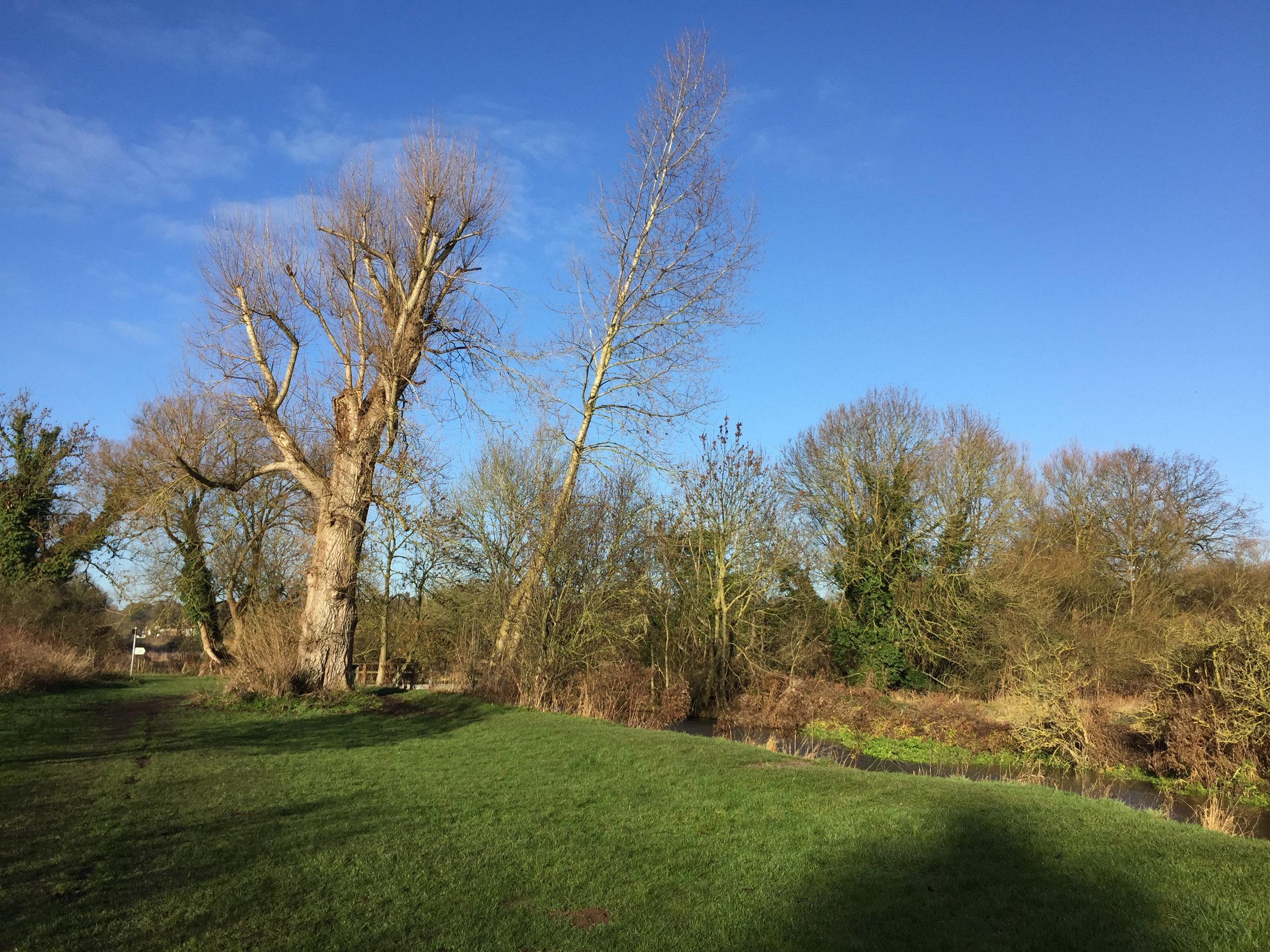
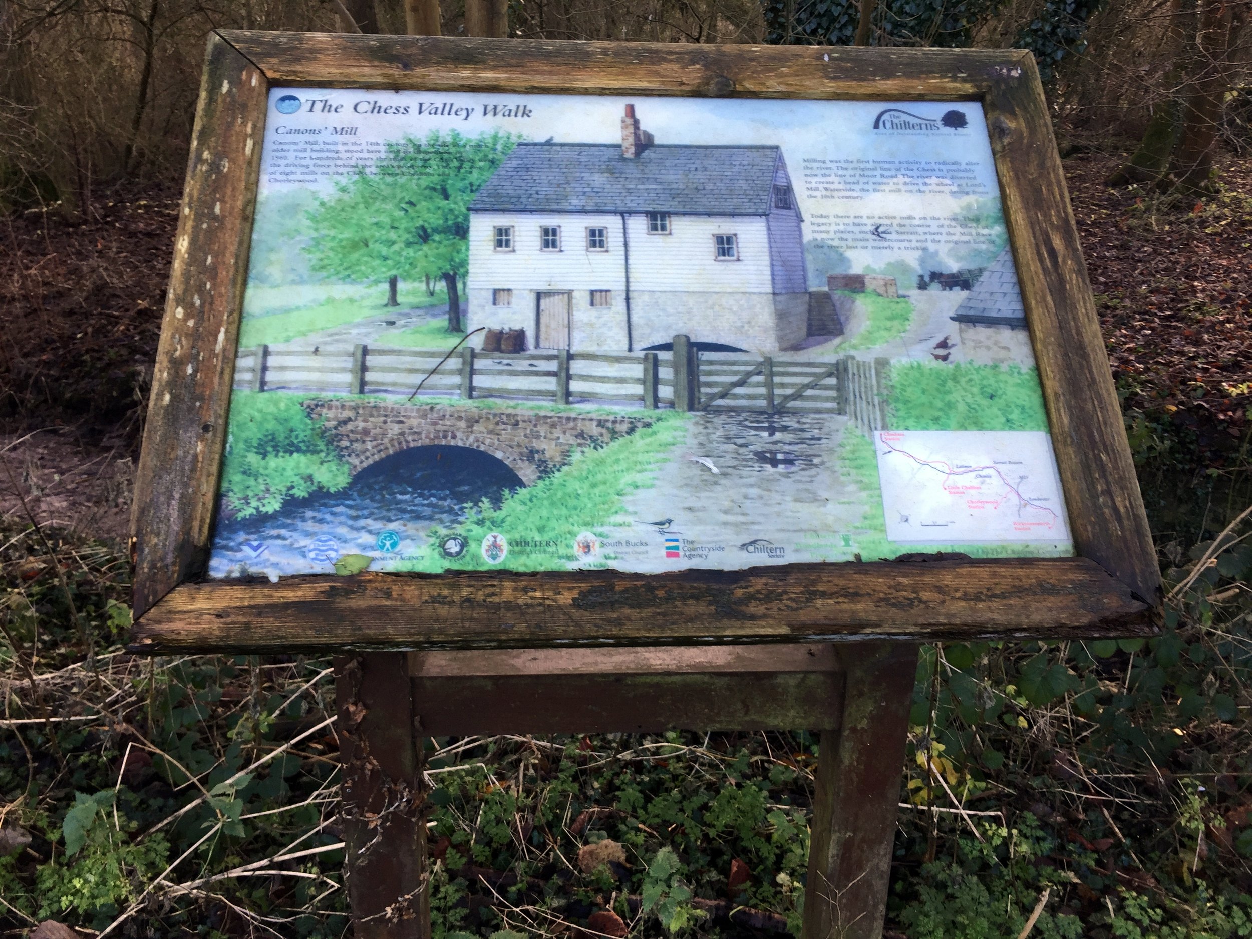
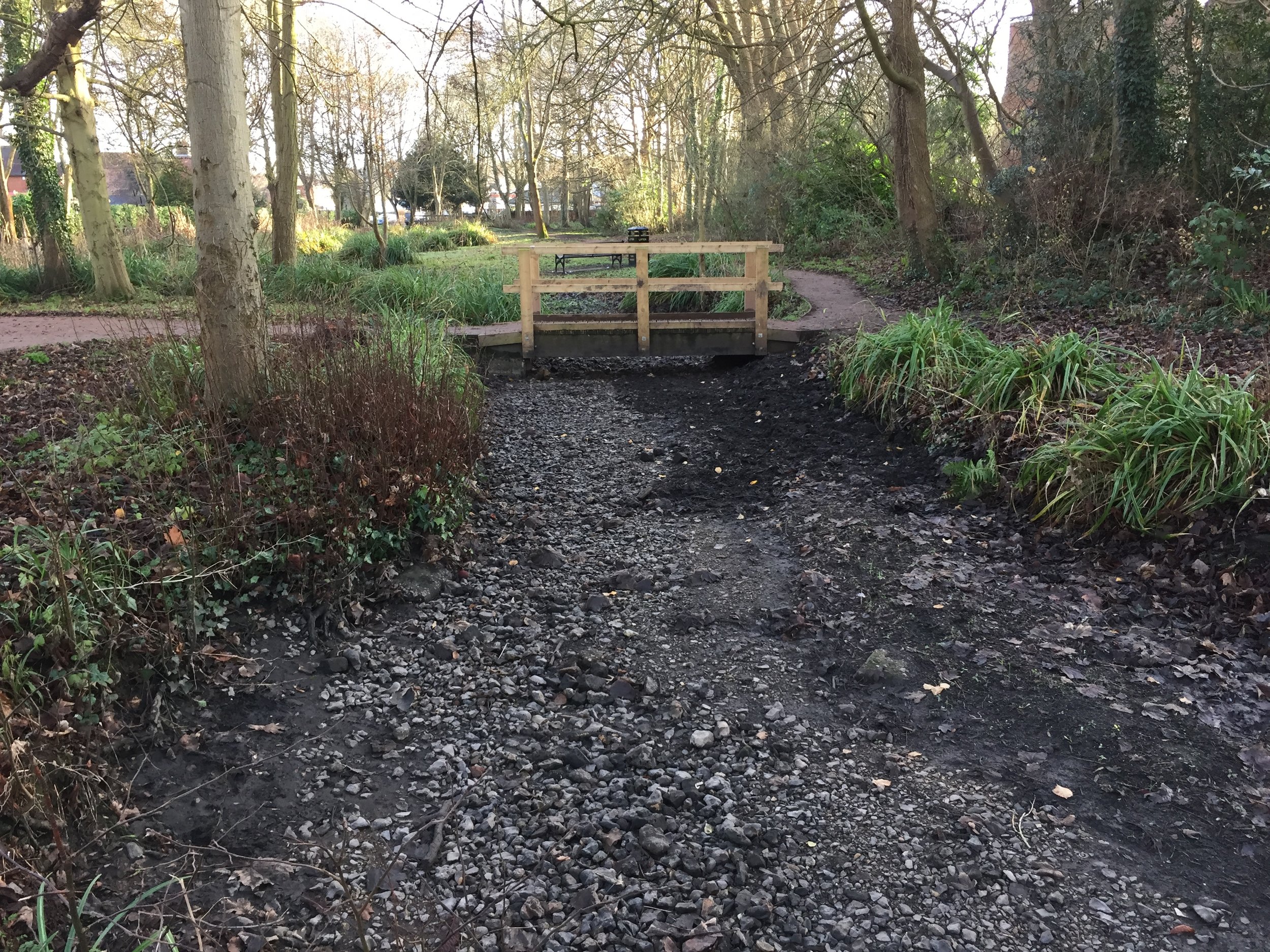
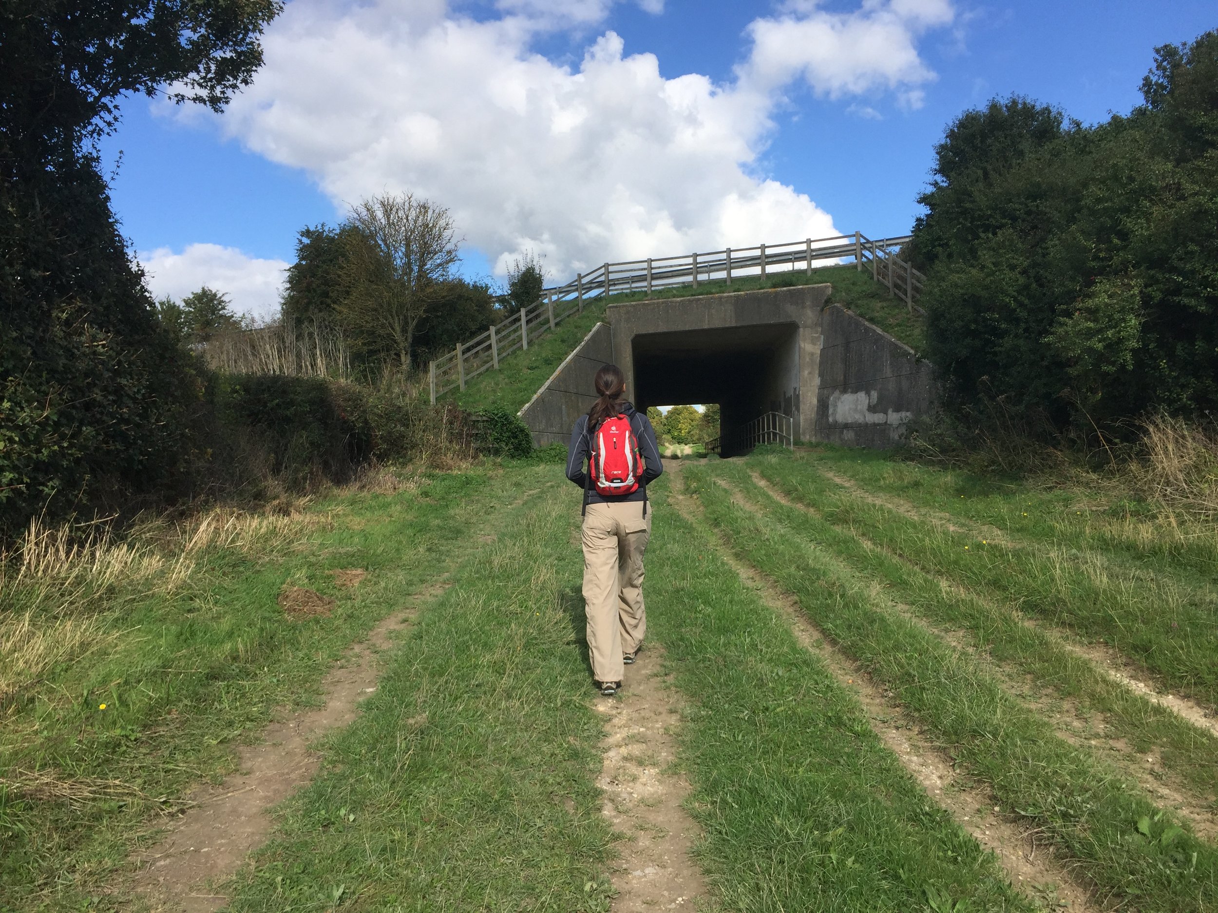
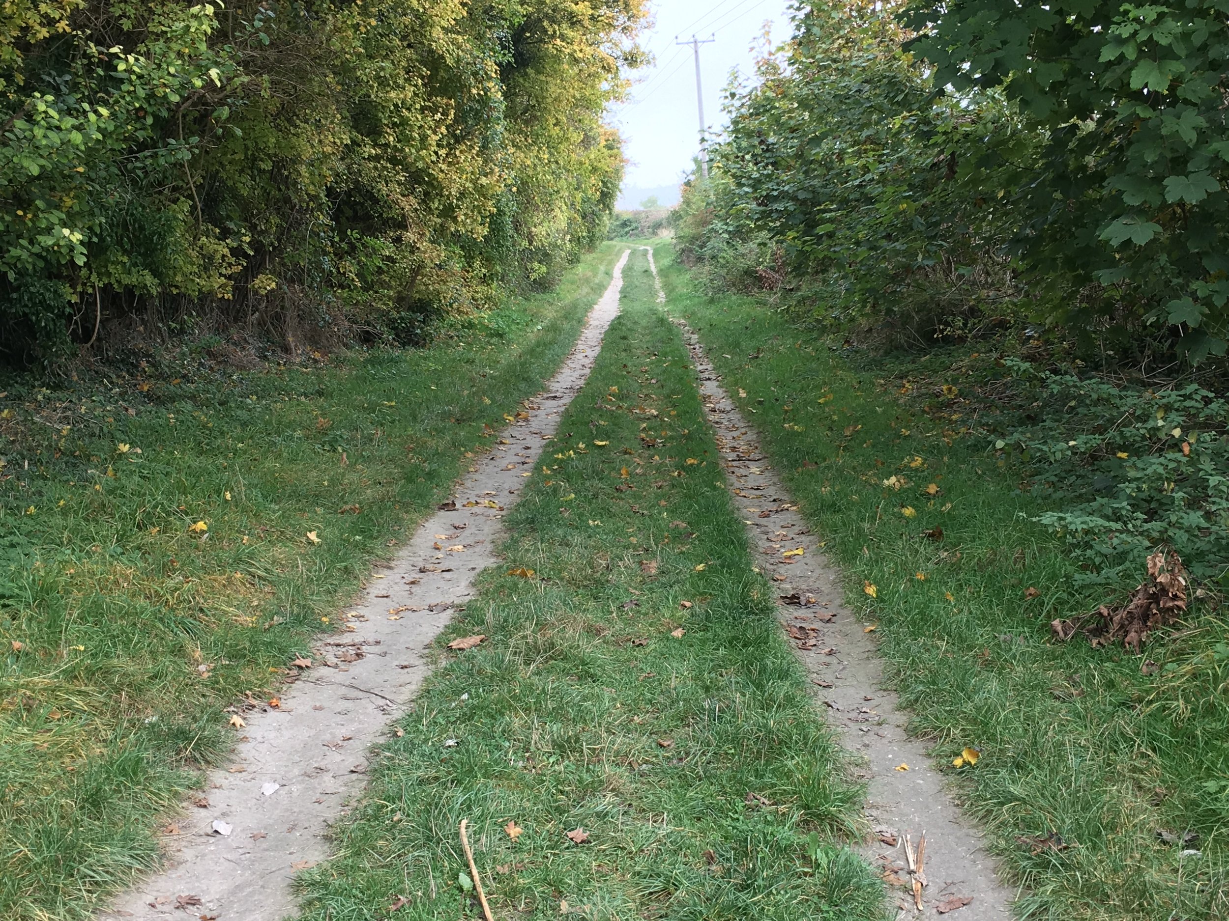
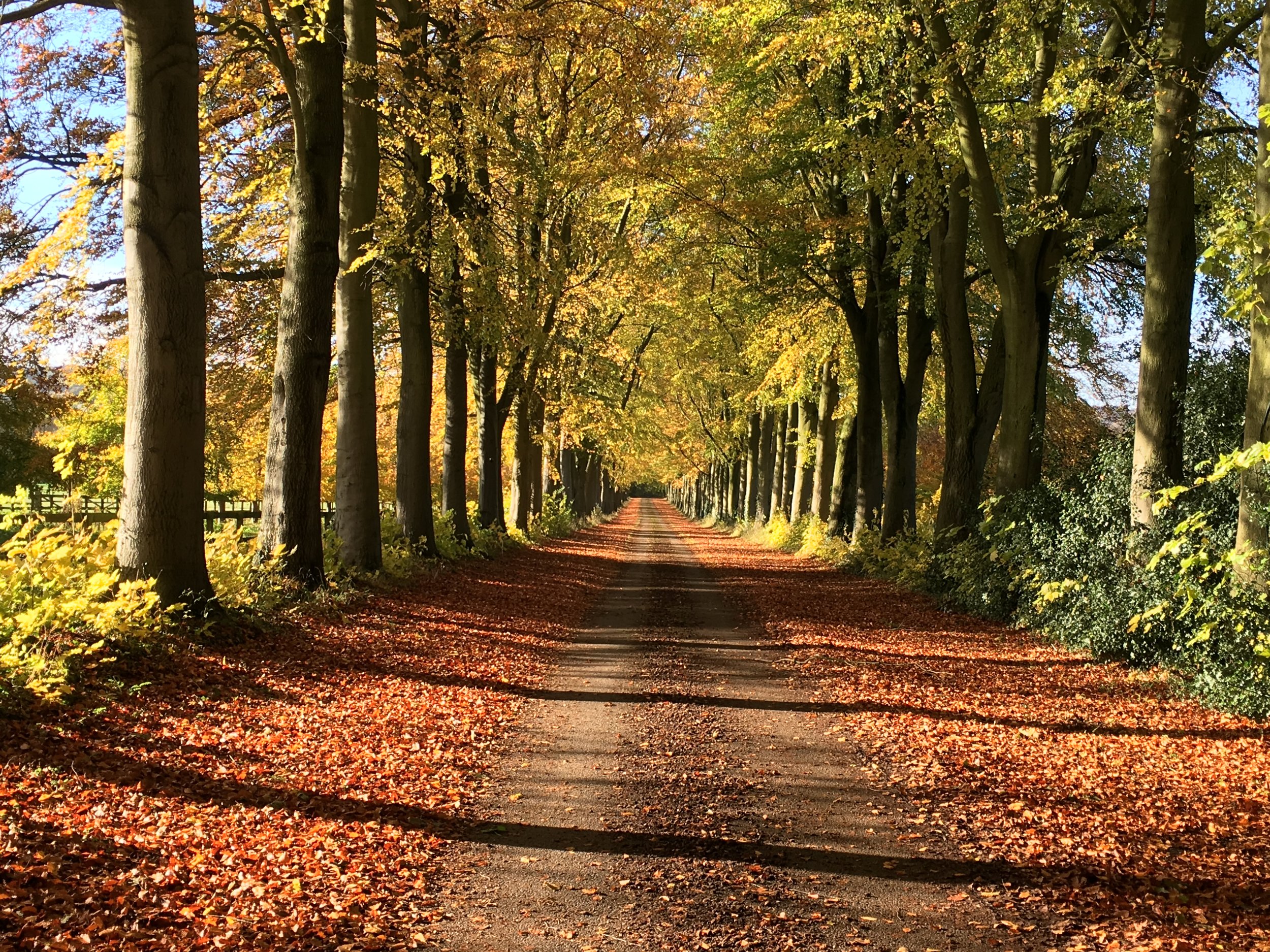
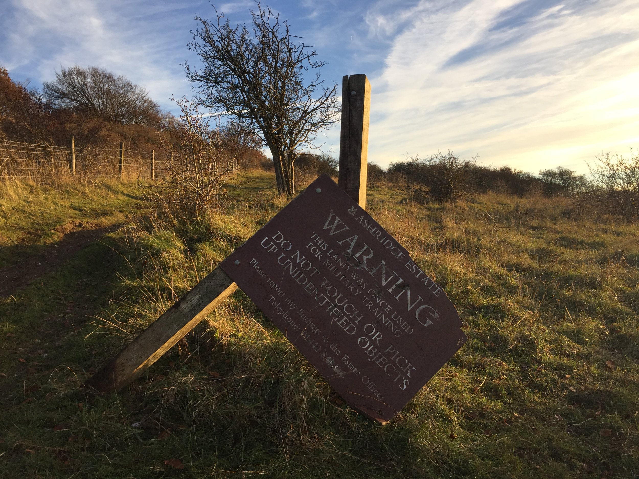
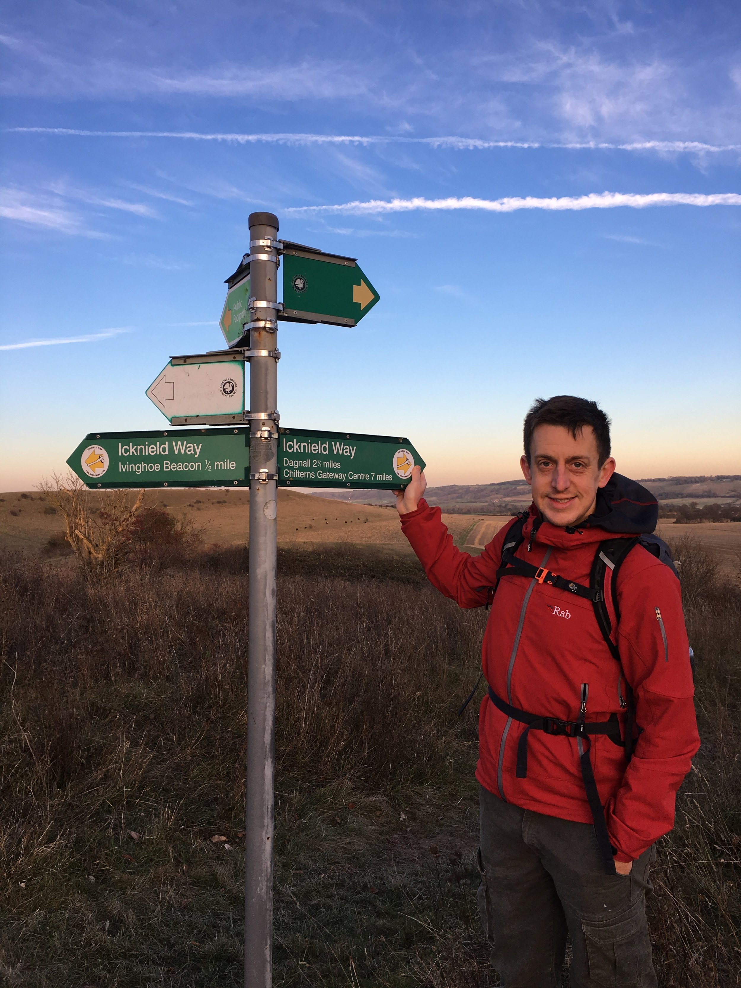
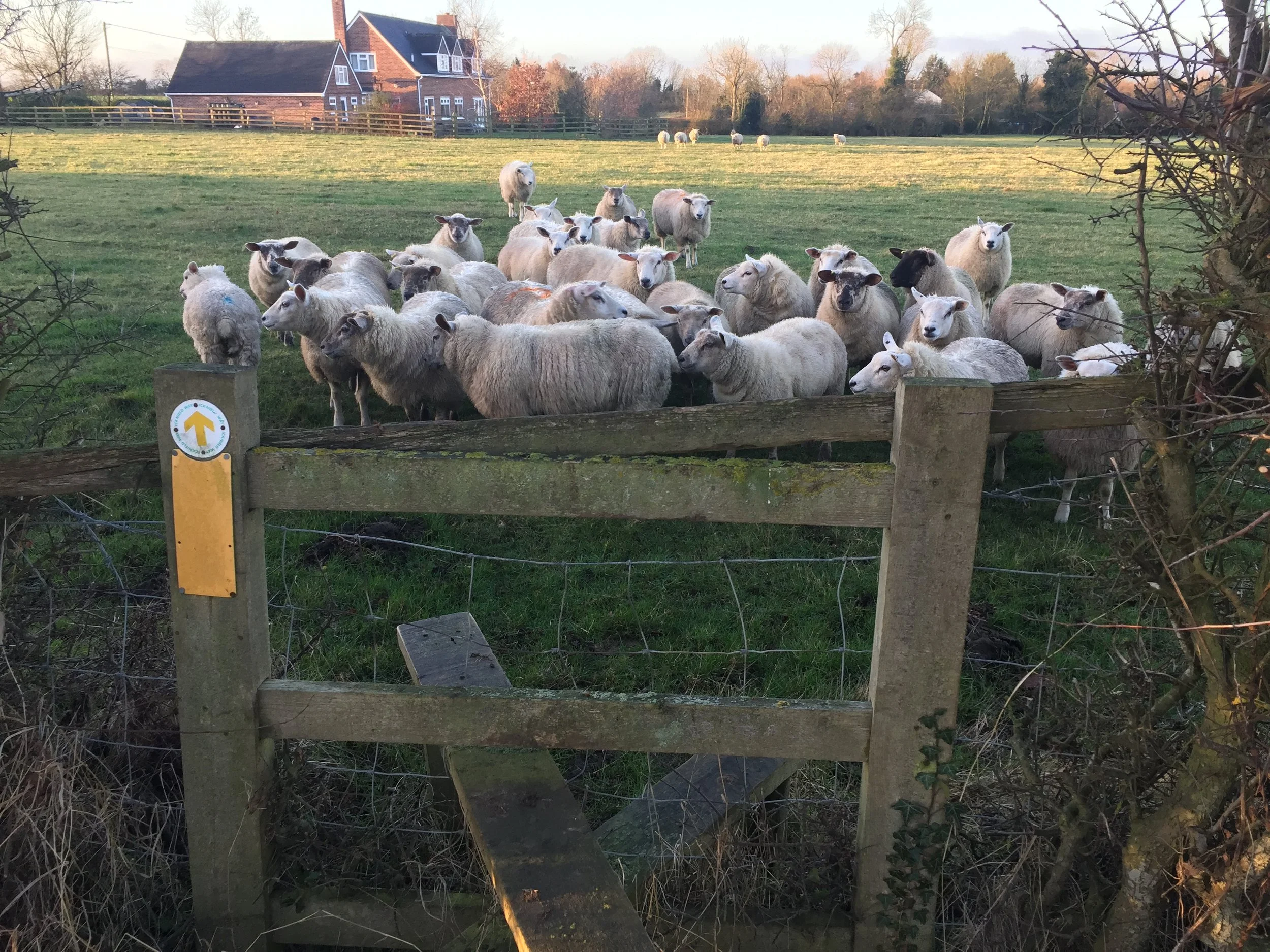
From Ivinghoe Beacon the Icknield Trail follows the Ashridge Boundary Trail for just over 2km before reaching a farm at the top of a hill. Leave the Boundary Trail here and turn left. Continue in a north-easterly direction to the B440 / Main Road East and turn right to pass through Dagnall. The Red Lion Pub is a nice place to stop and it’s also close to the start of the River Ver. After Dagnall School, take a left off the main road and follow the Trail as it passes through Whipsnade Park Golf Club and around the perimeter fence of Whipsnade Zoo.
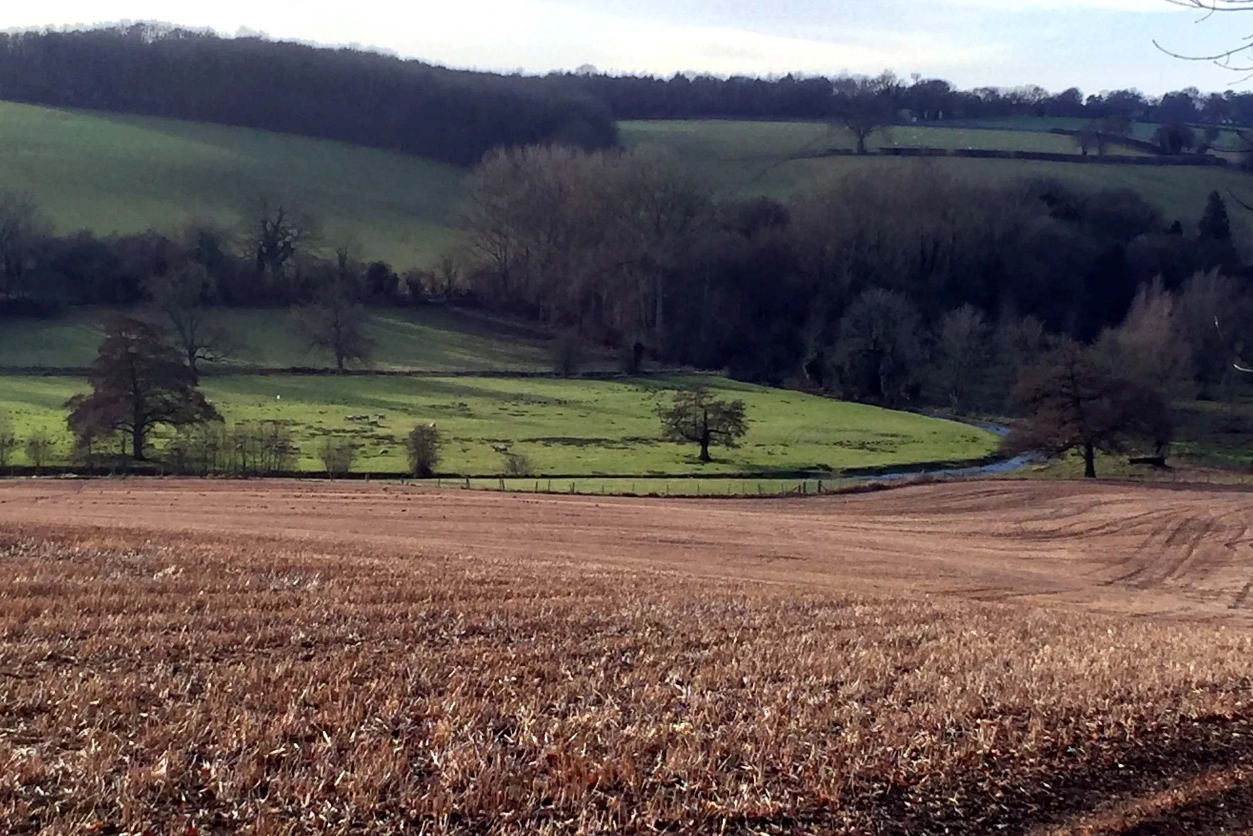
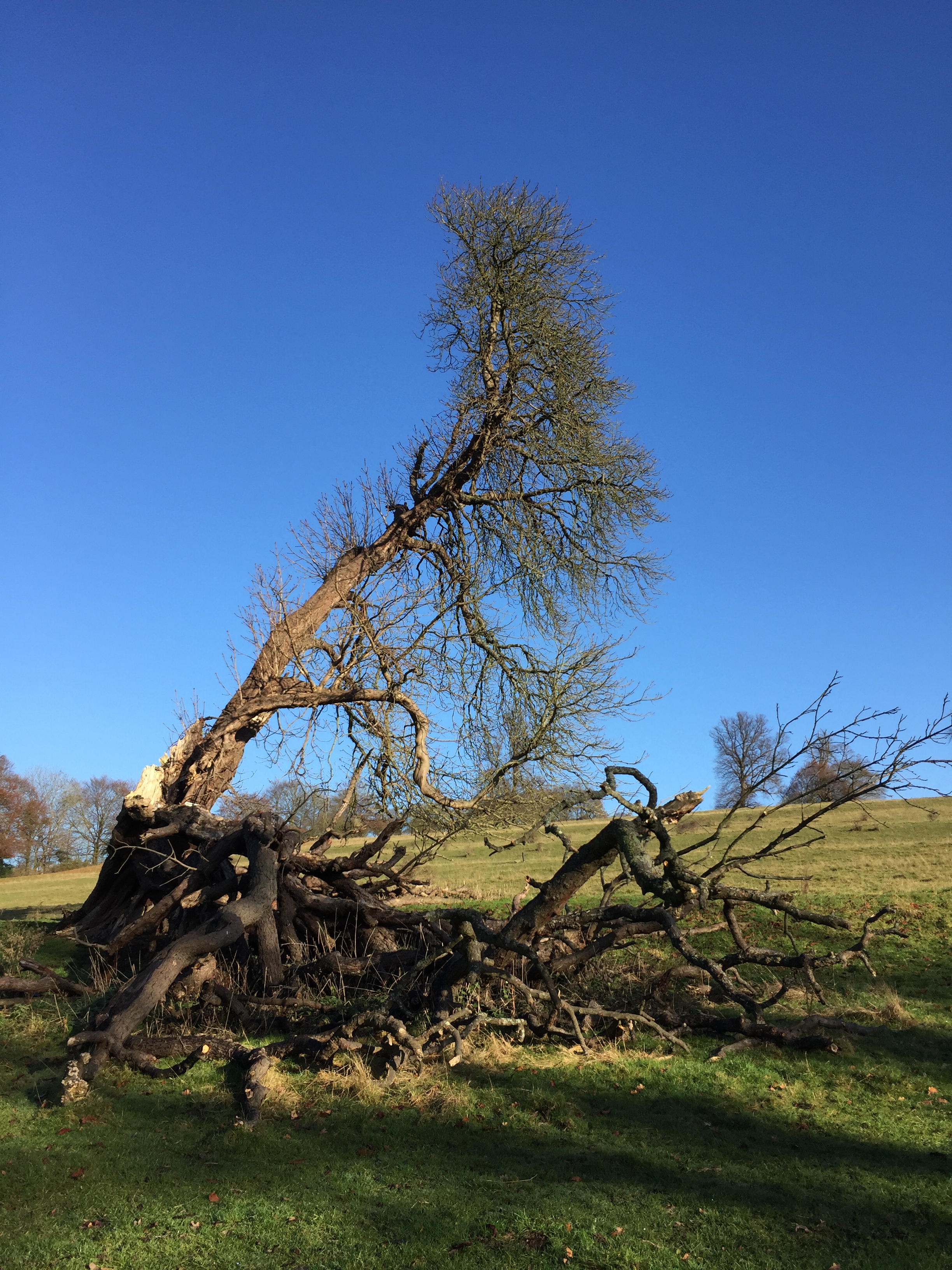
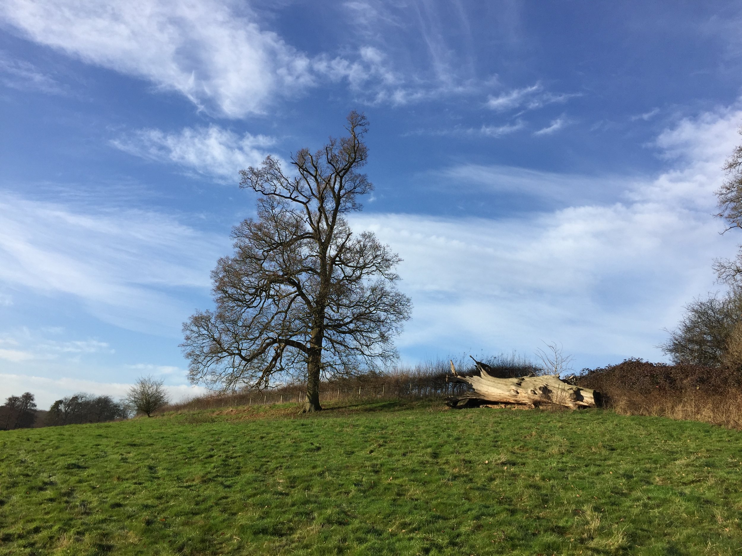
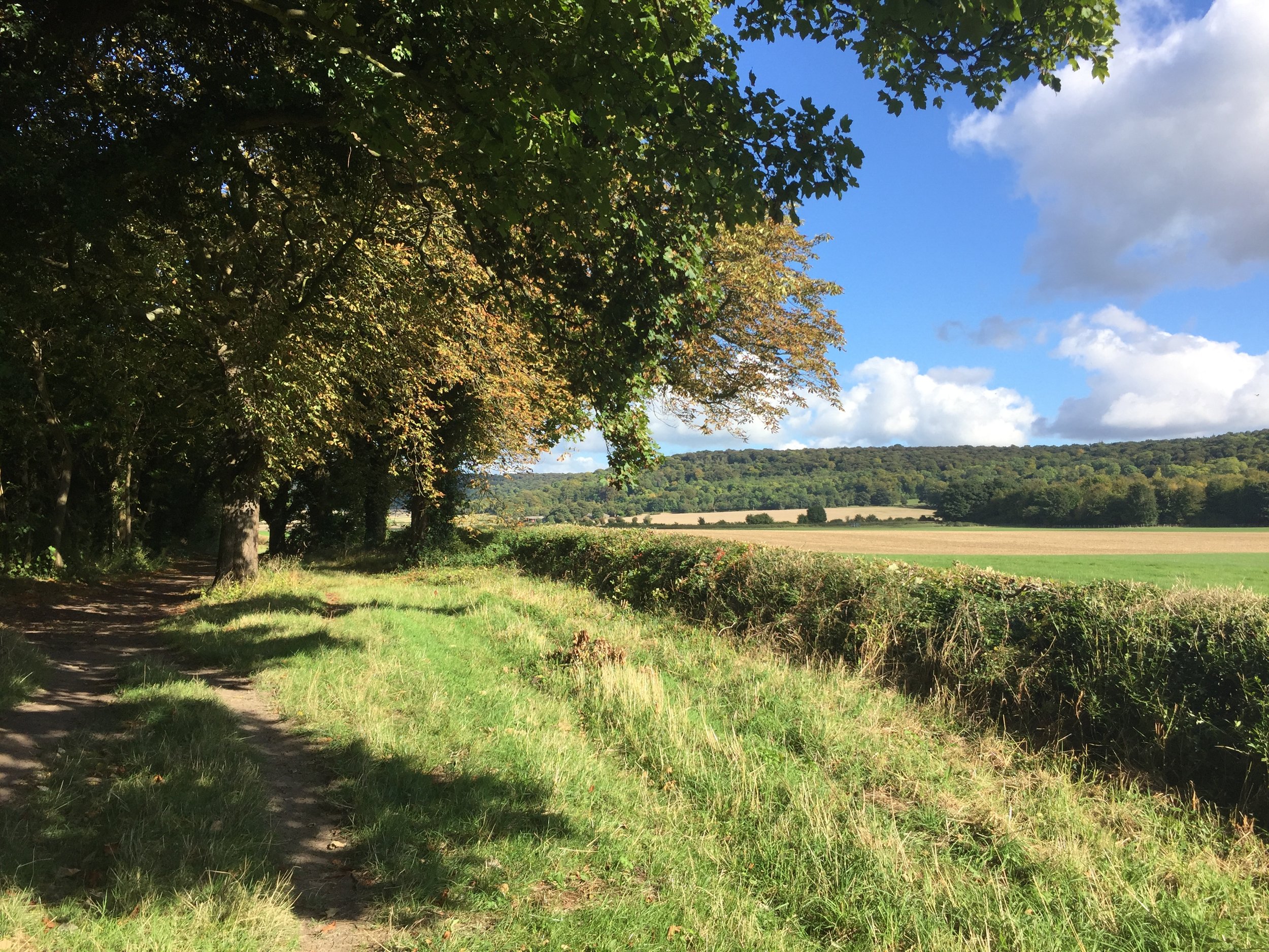
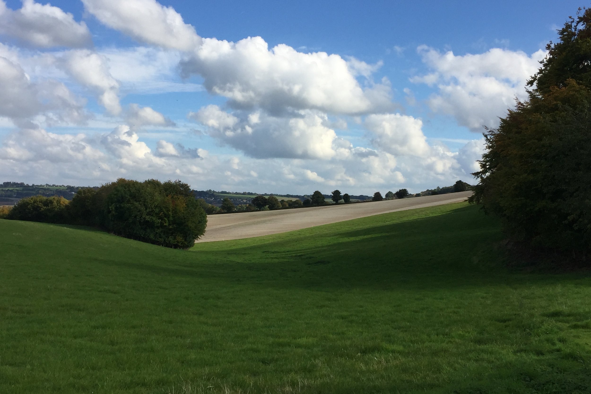
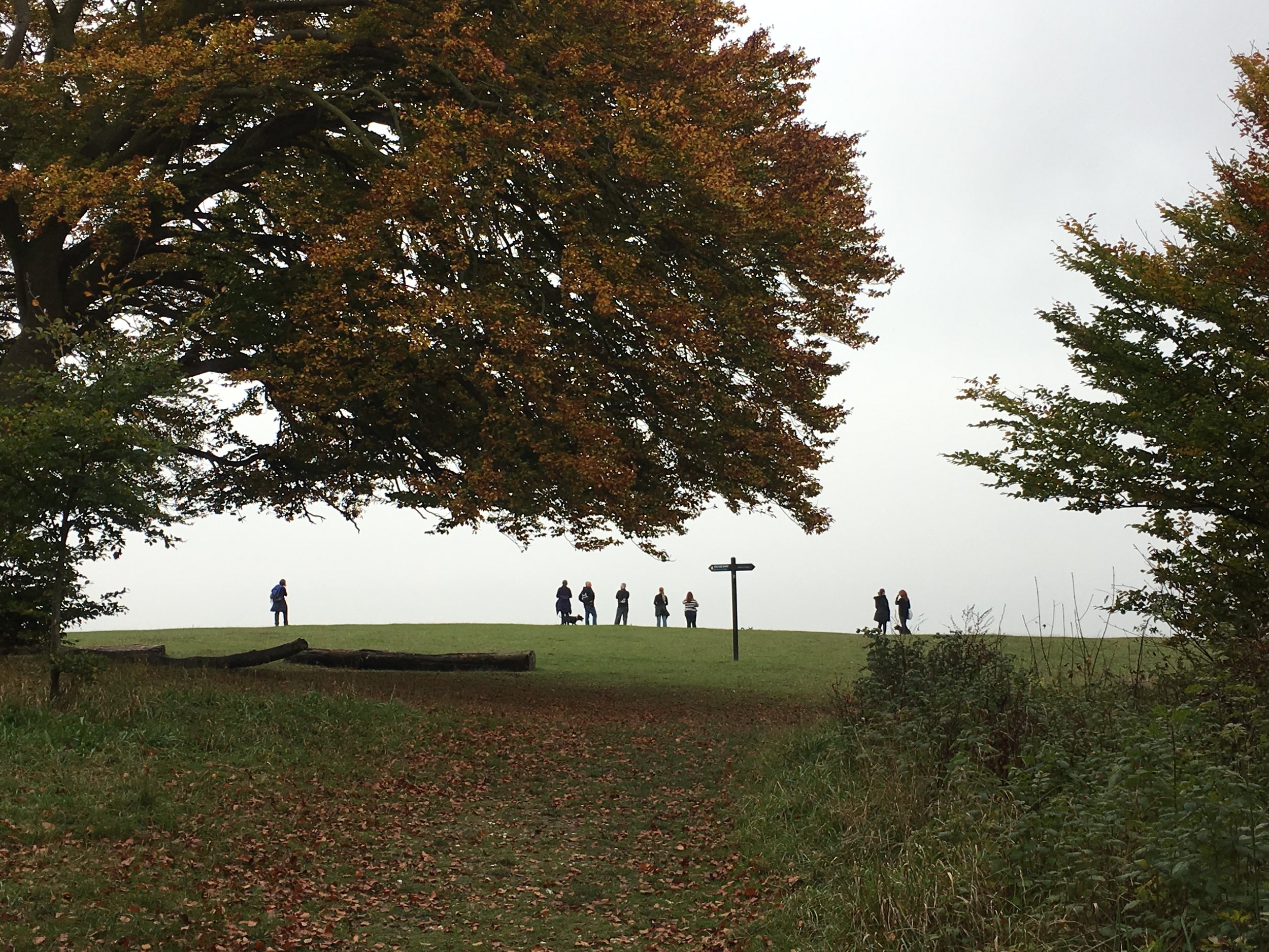
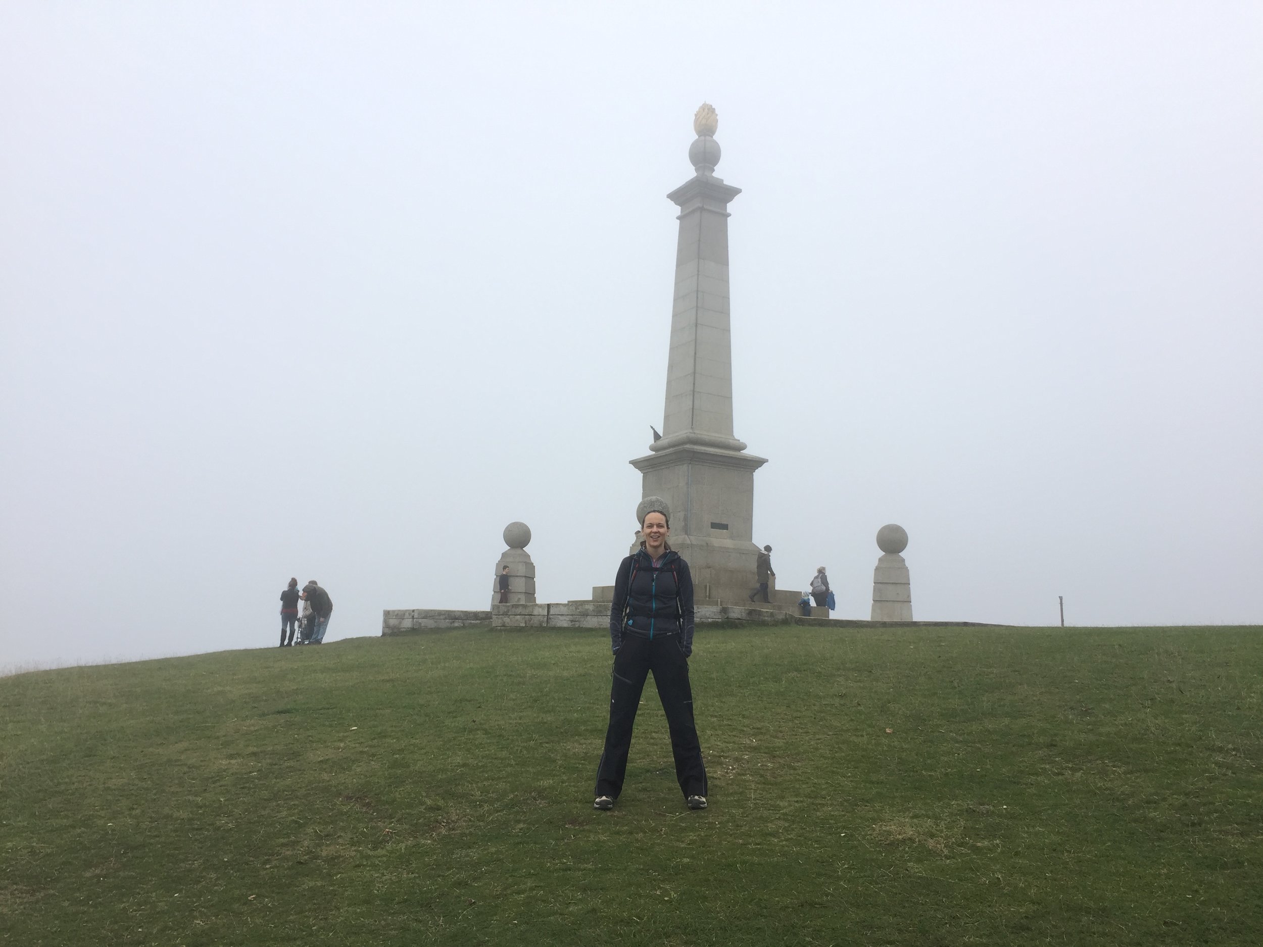
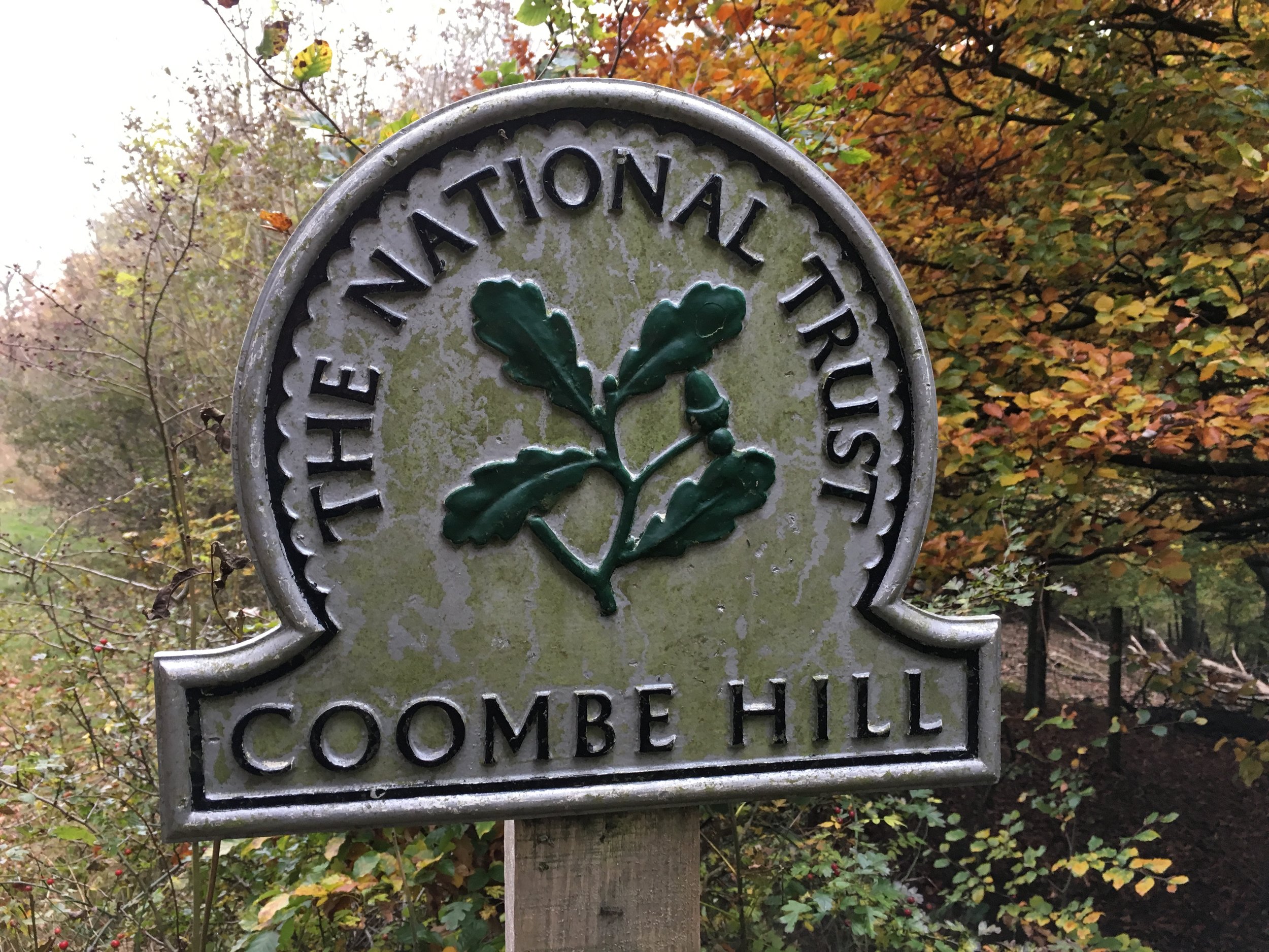
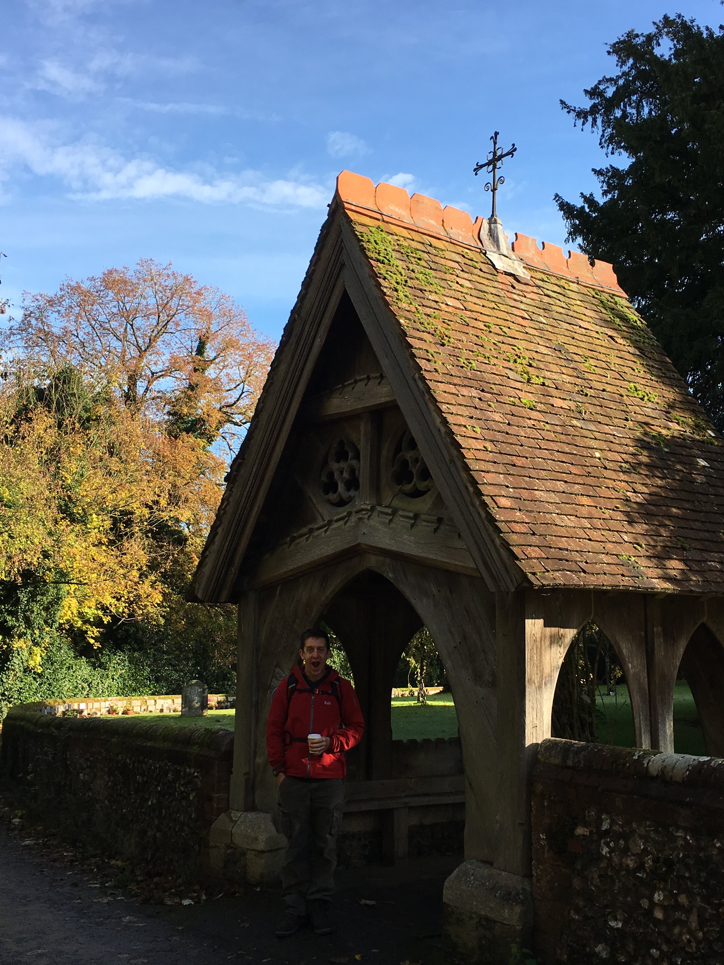
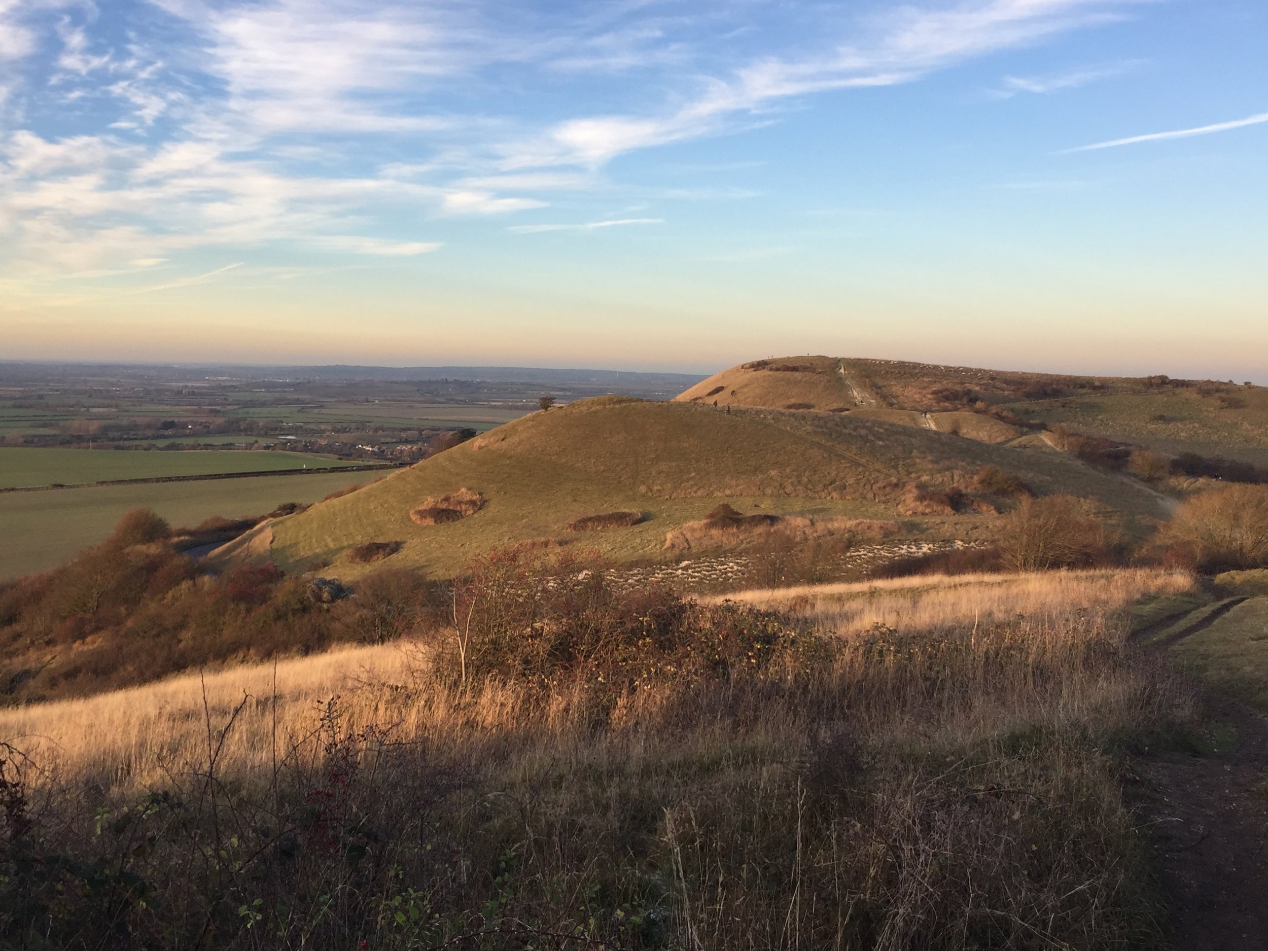
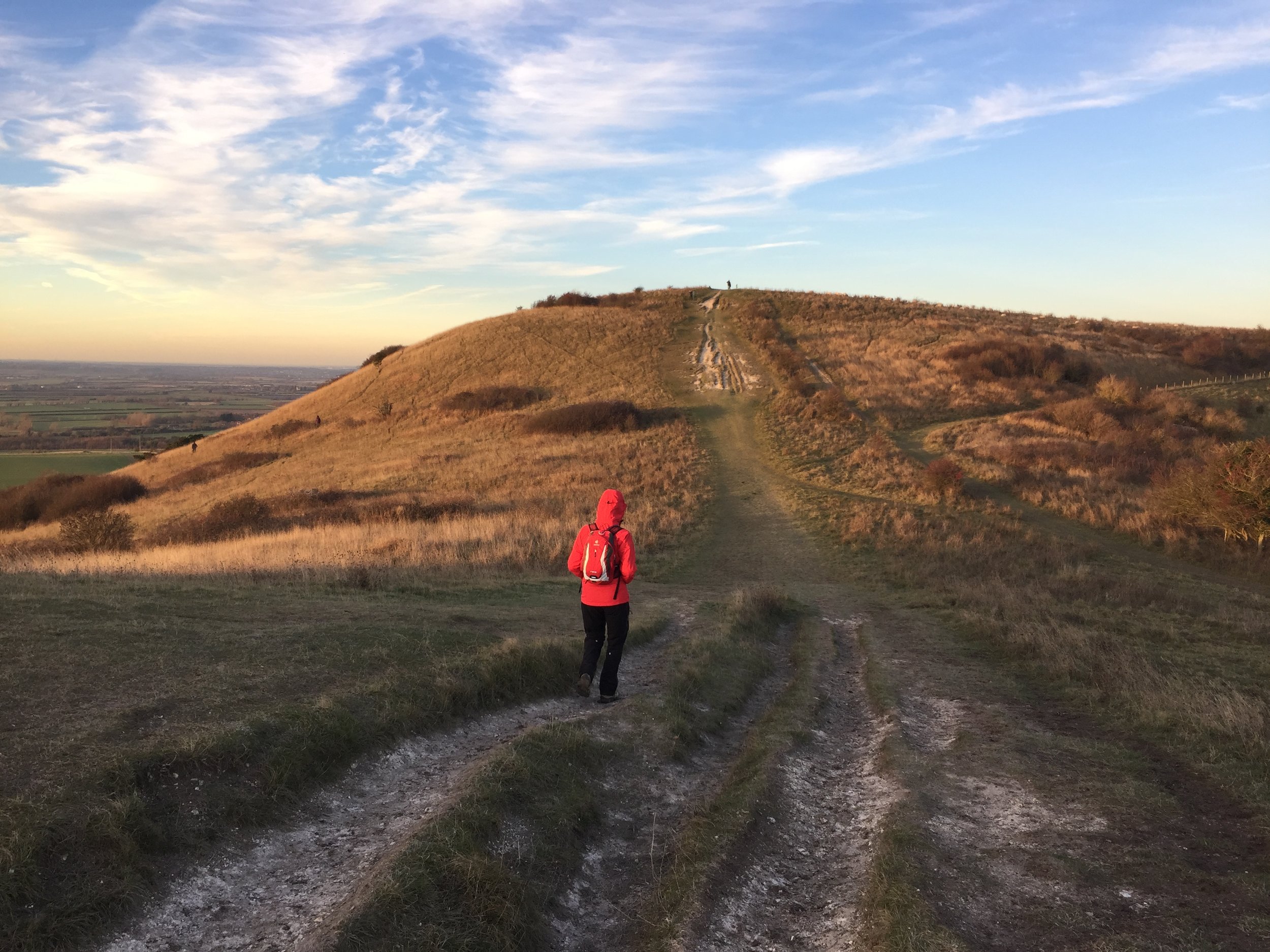
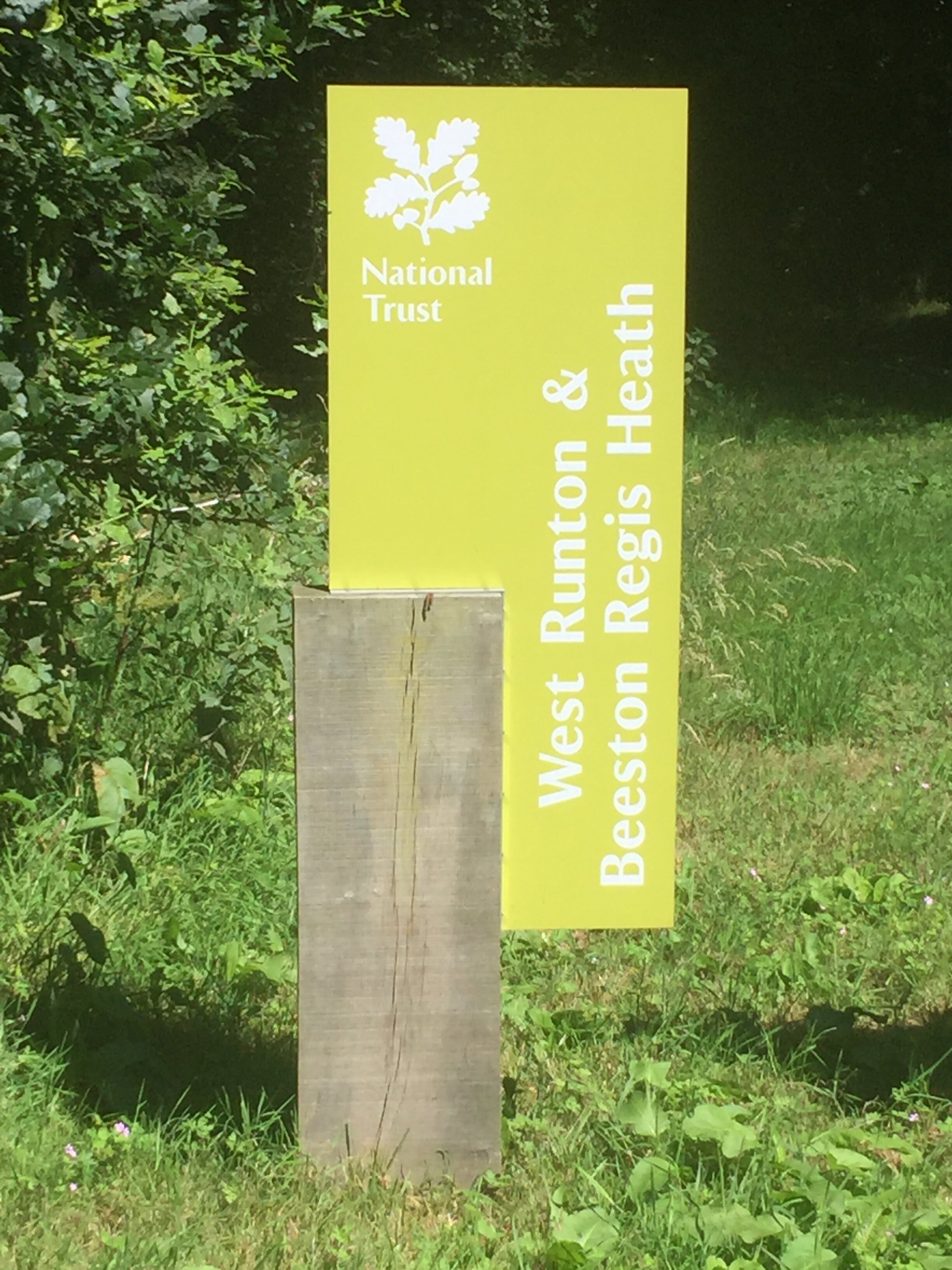
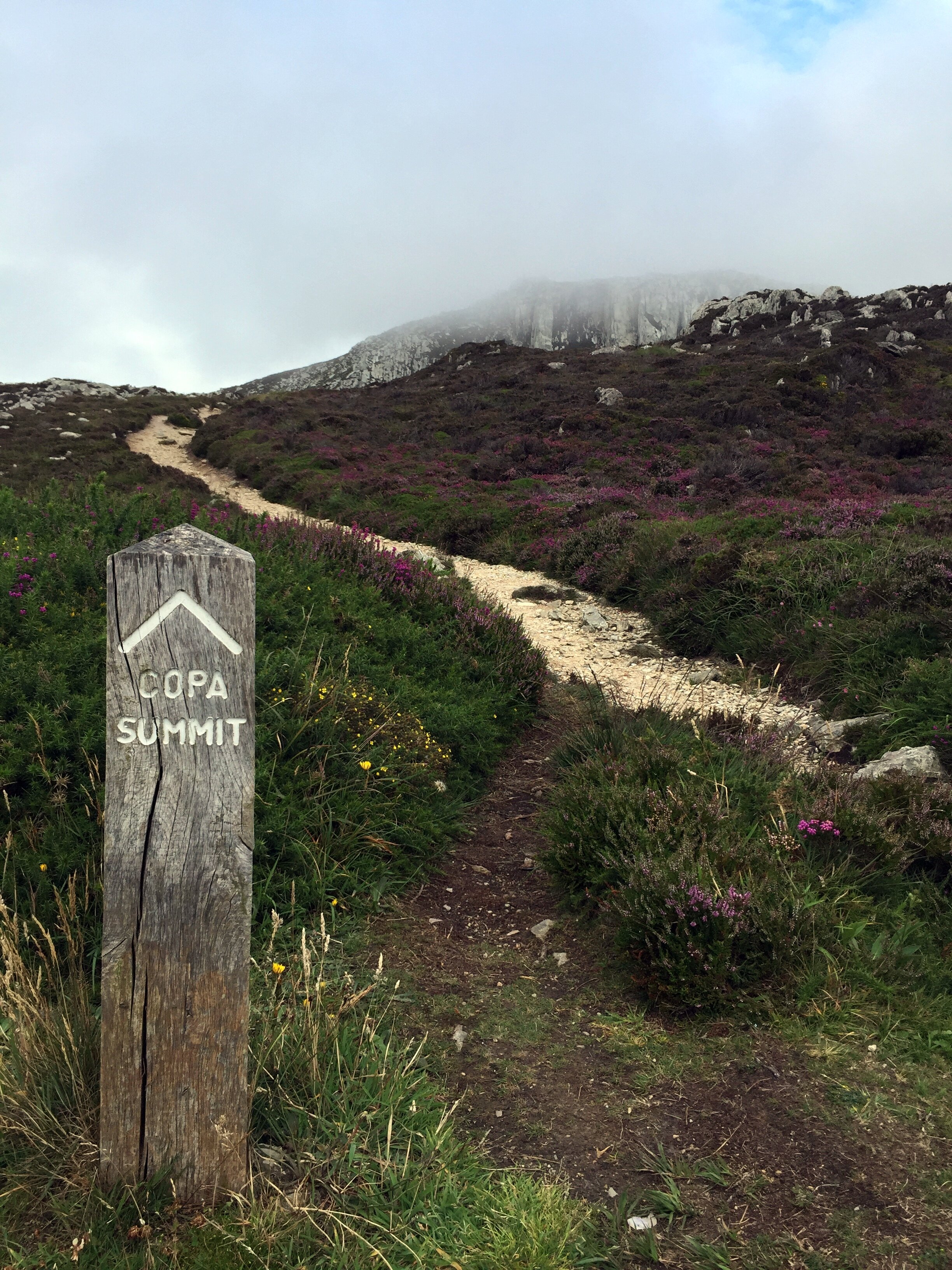
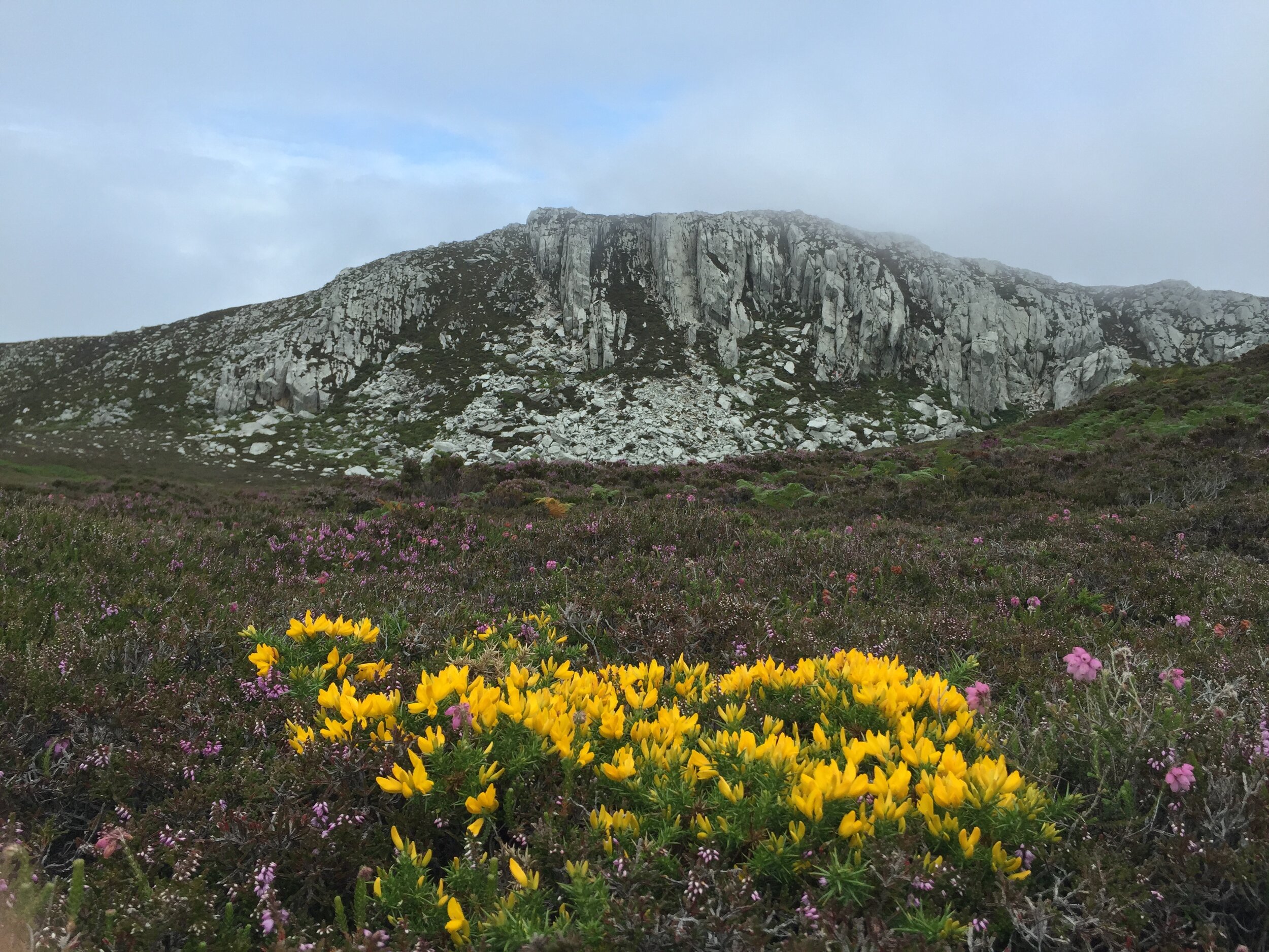
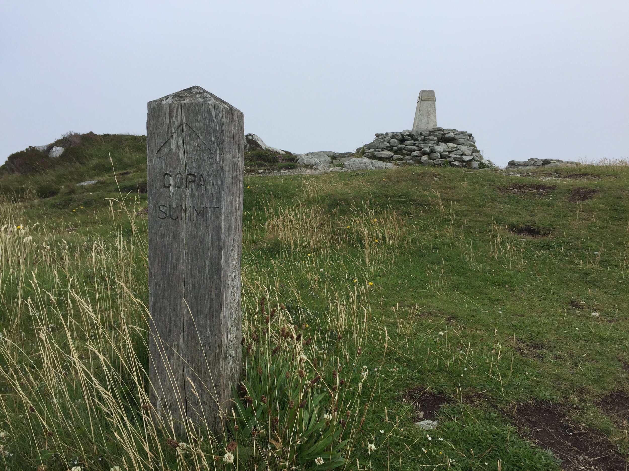
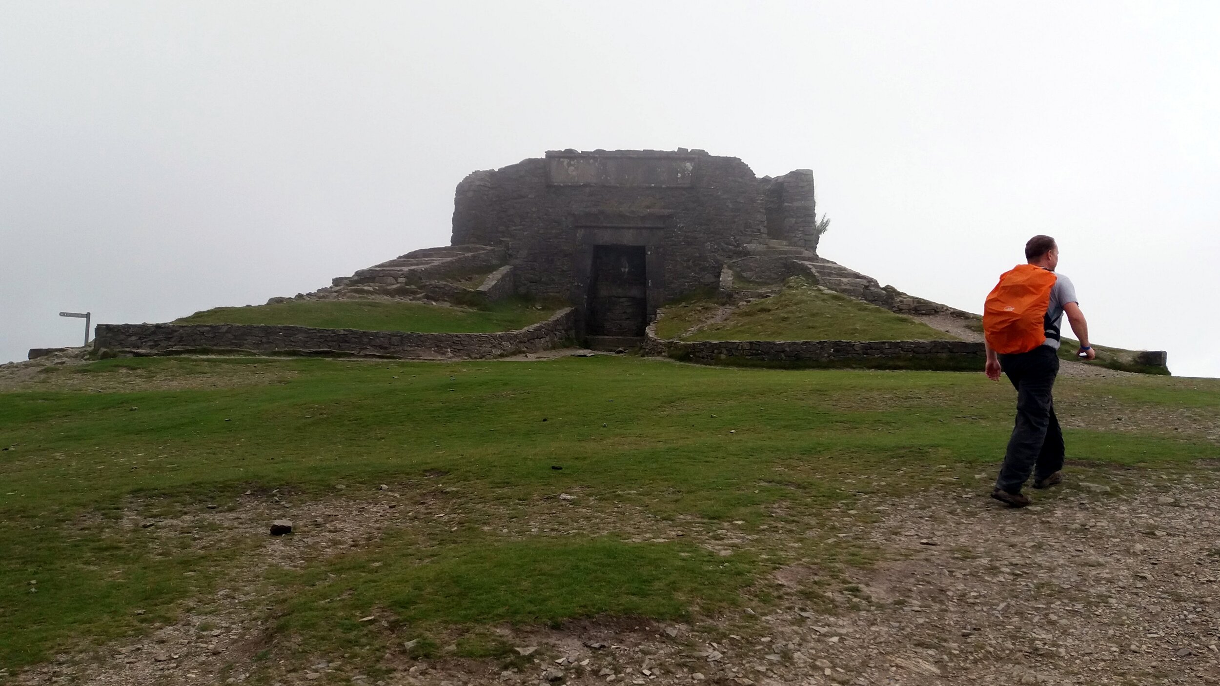
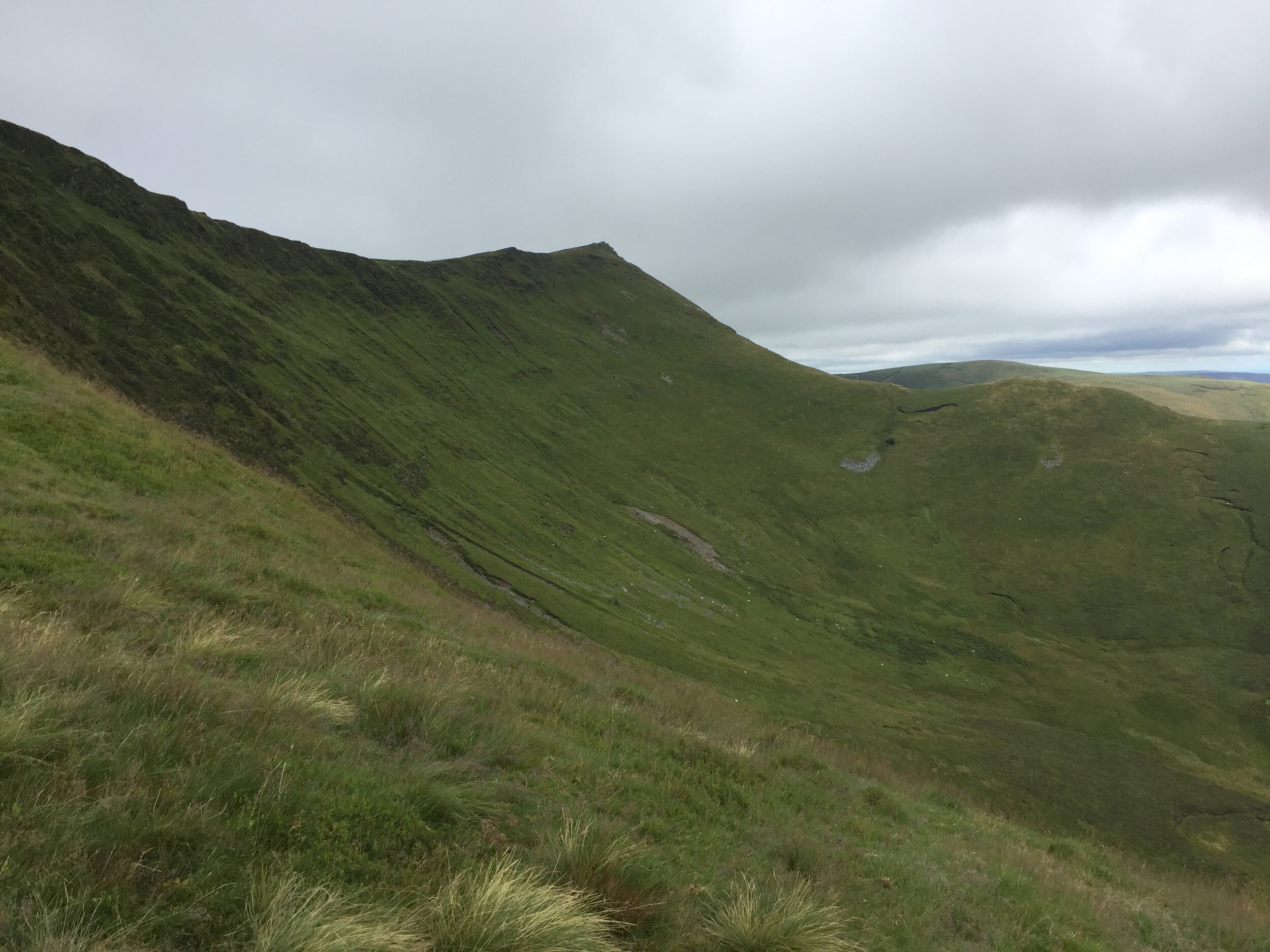
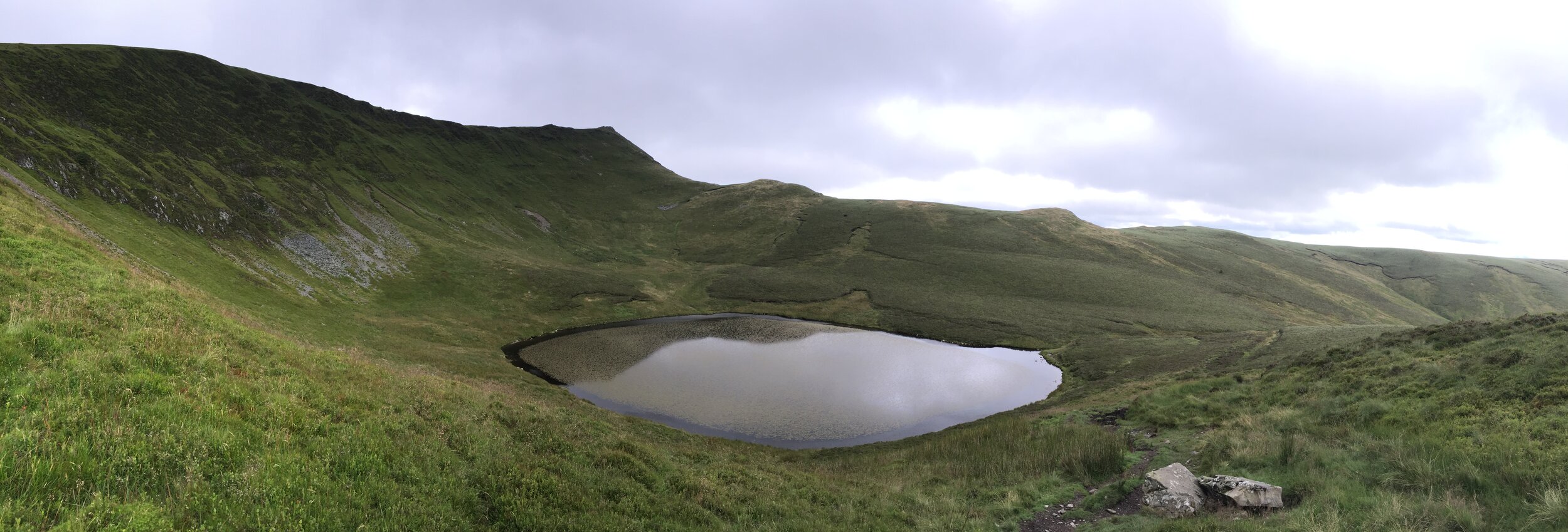
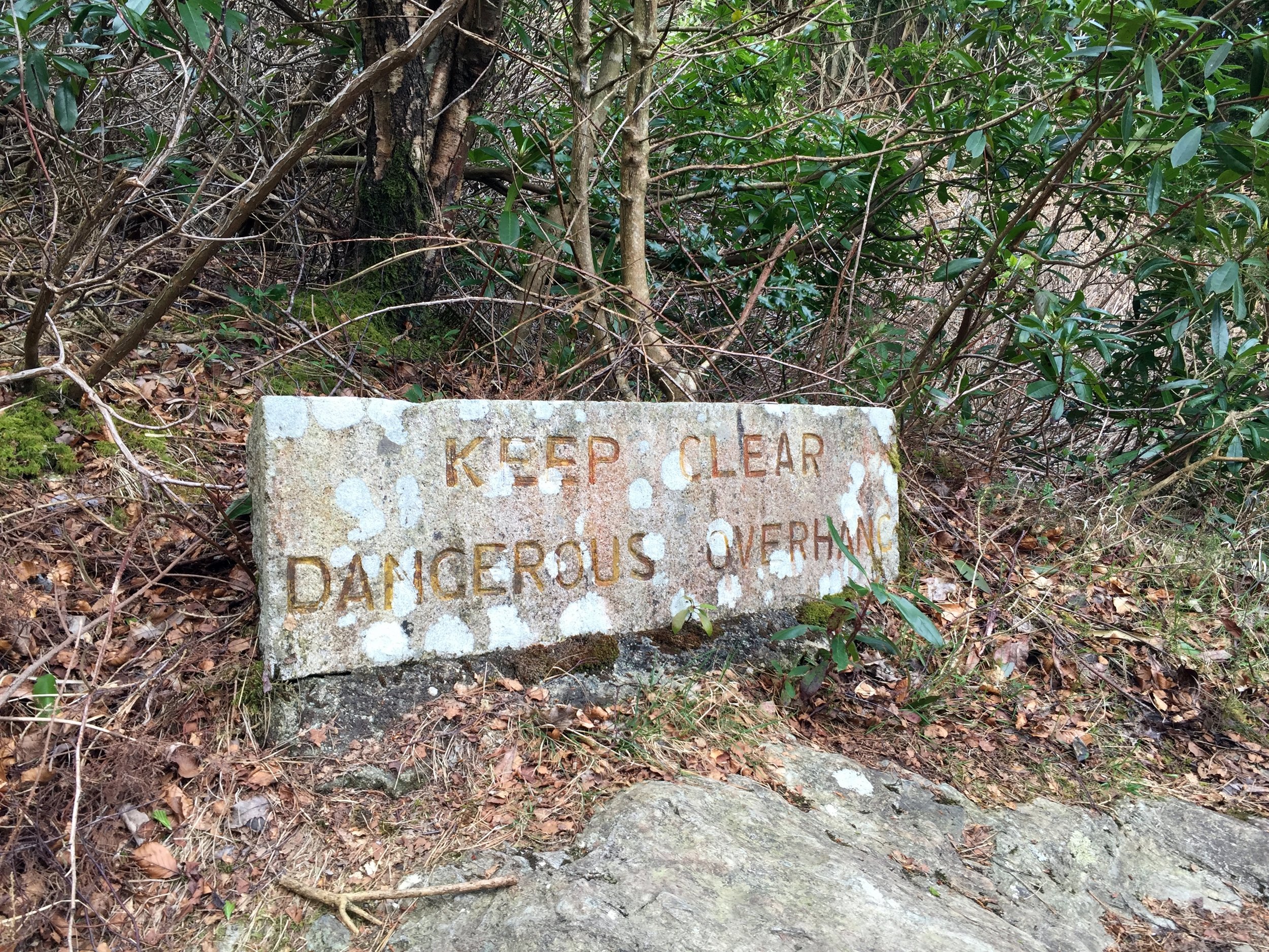
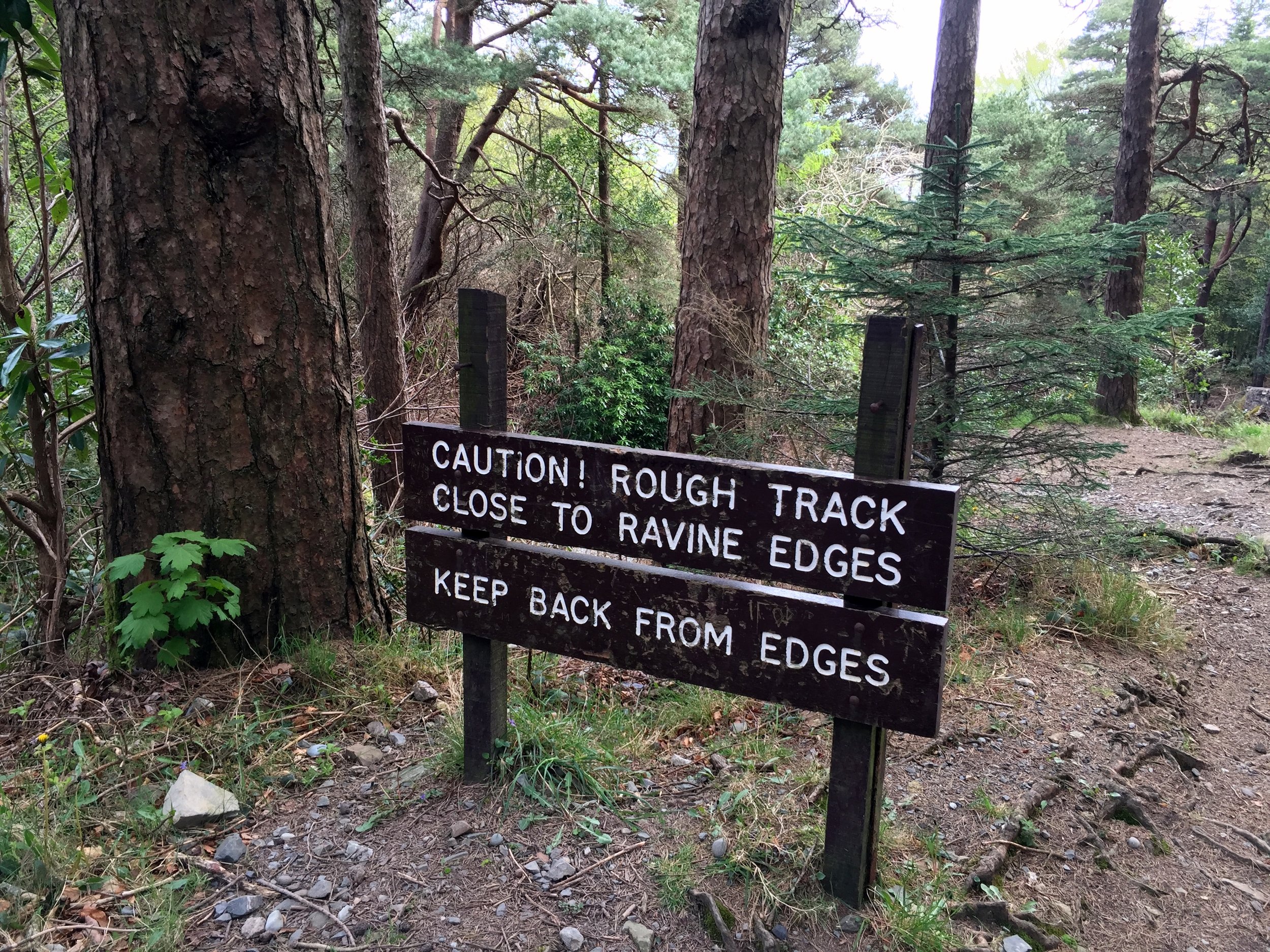
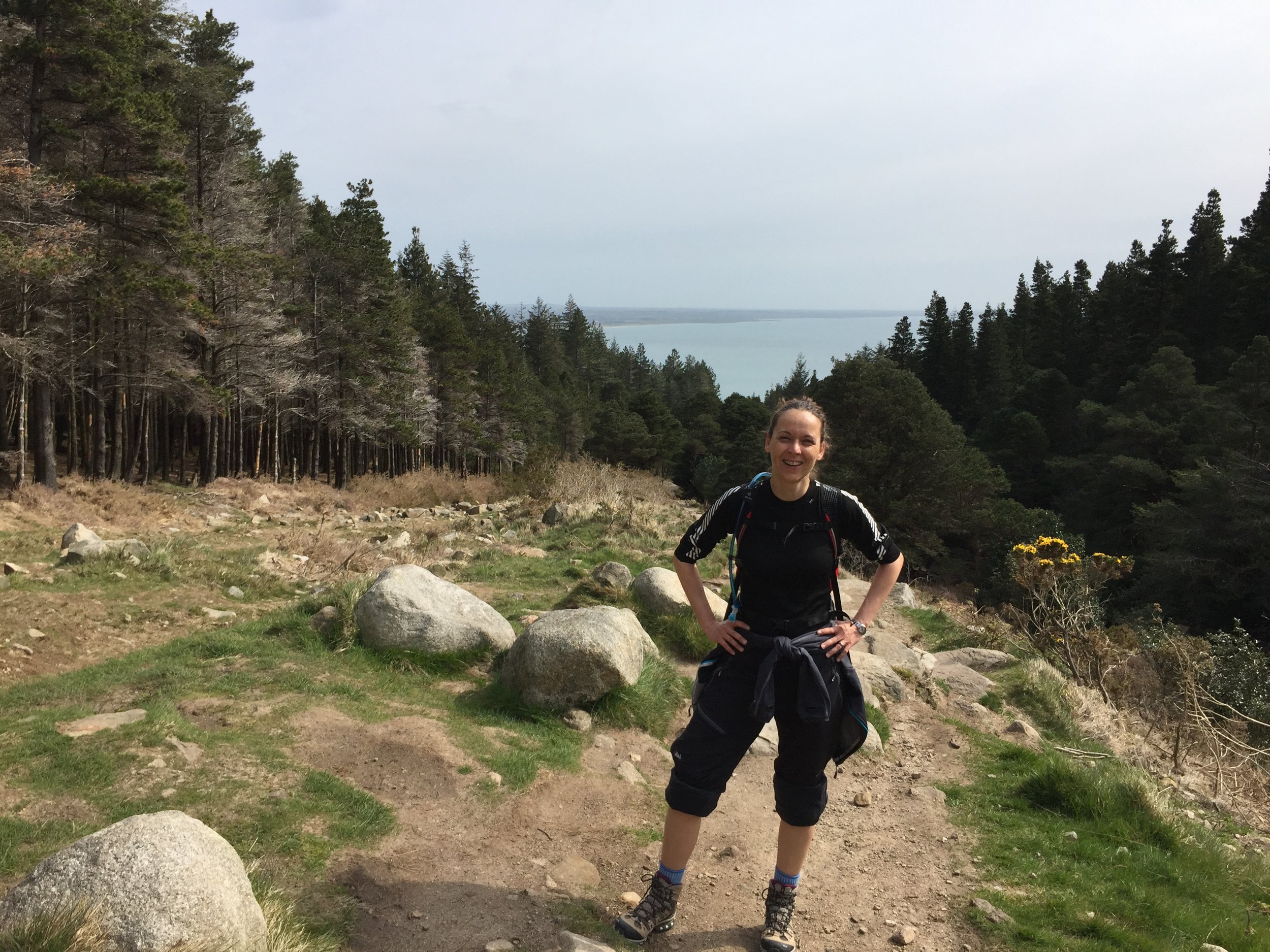
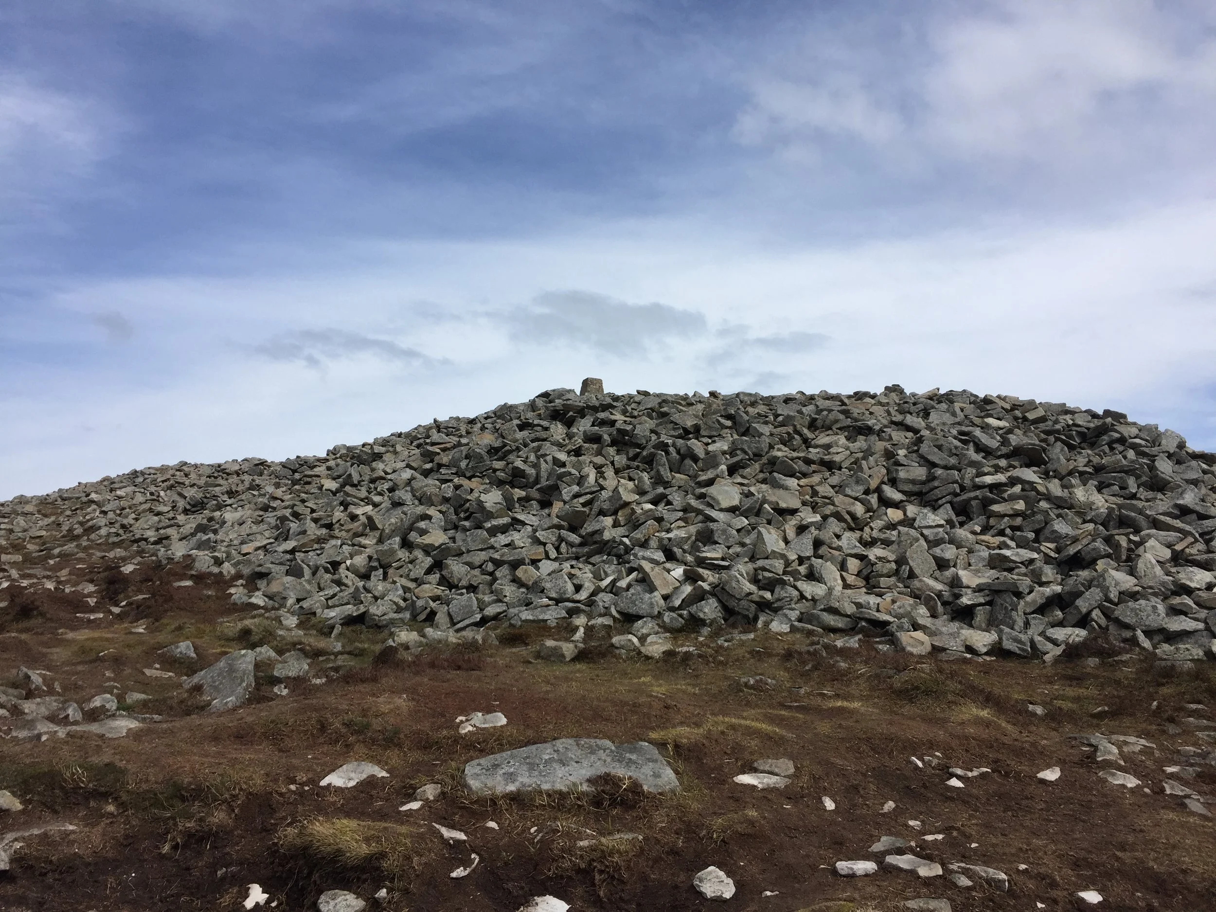
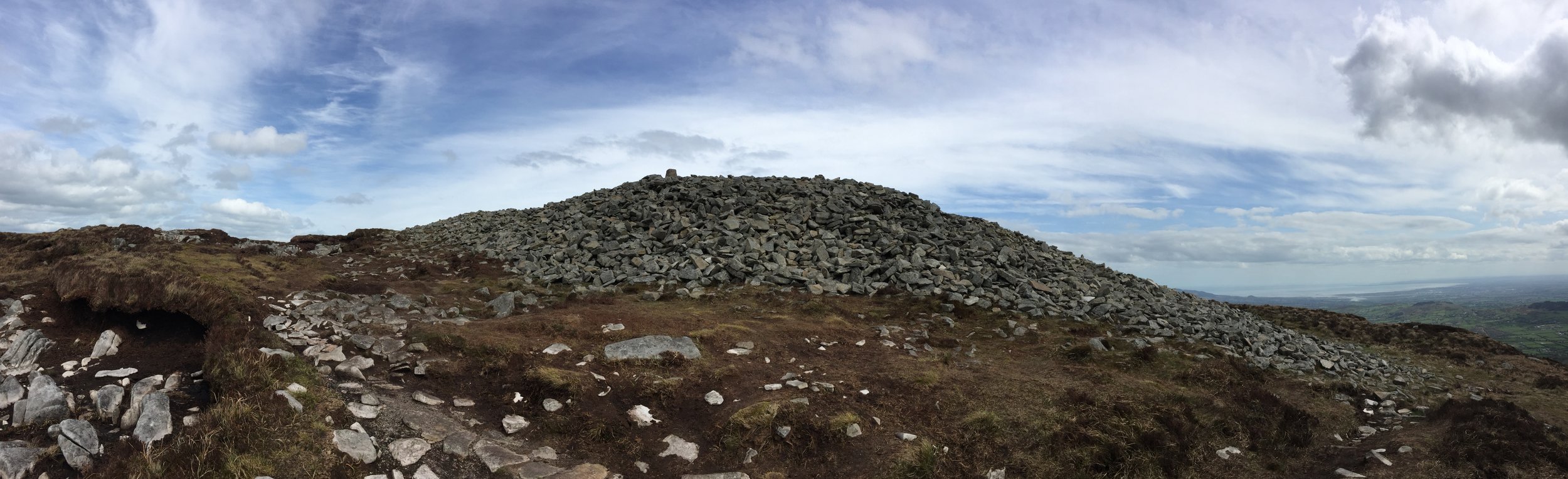
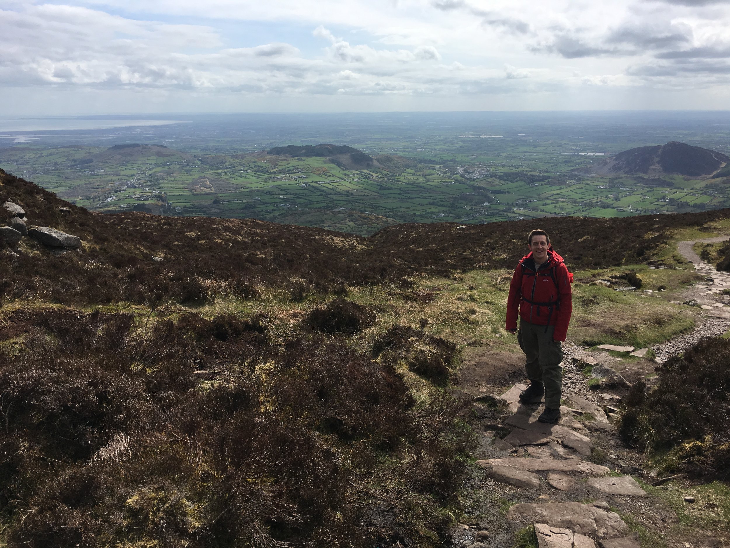
Walk through Whipsnade Tree Cathedral. Just after the 1st km at Bison Hill the route will take a right angle and switch from a north-westerly to a north-easterly direction. The Trail will soon meet up with the Chiltern Way again as they pass over the top of Dunstable Downs. You can see for miles here and its a good place to stop and check out the National Trust Visitors’ Centre, the Bedfordshire County Top and have a picnic whilst watching the gliders take off and land below.
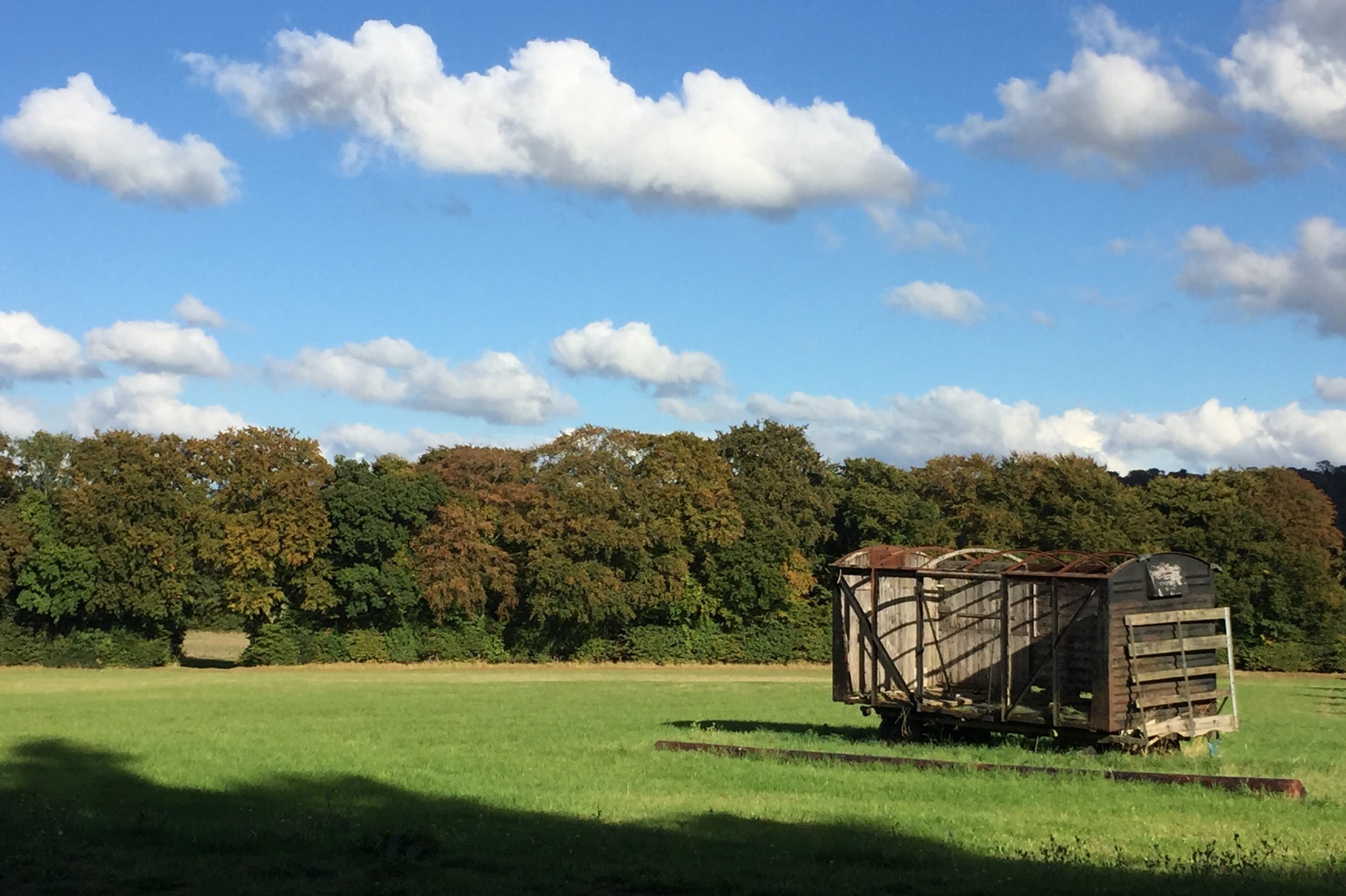
Follow the trail down off the Downs and cross the busy B489 onto Green Lane. After ~1k the Trail will take a sharp right off Green Lane into farmland. Follow the Trail for ~2km past Maiden Bower Hill Fort and Sewell Manor before reaching the A5 Watling Street and the end of this section.


Part 2: Chalk Hill to Pirton
Start: White Lion Pub Watling Street, Houghton Regis, Dunstable, LU6 1RS
Finish: The Motte & Bailey, 1 Great Green, Pirton, Hitchin, SG5 3QD
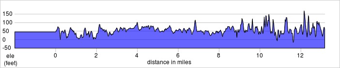
Distance: 31 km (19.4 Miles)
Elevation: +435m / -470m. Net -35m
GPX File: get via Buy Me a Coffee
Other Routes Touched (walk): Chiltern Way, John Bunyan Trail, Walk on the Wild Side
Other Routes Touched (cycle): Chilterns Cycleway, Icknield Way Trail (cycle route)
Map: OS Explorer Map (193) Luton and Stevenage
Guidebook: The Icknield Way Path: A Walkers' Guide
OS Trig Pillars: TP6734 - Warden Hill and TP2743 - Deacon Hill
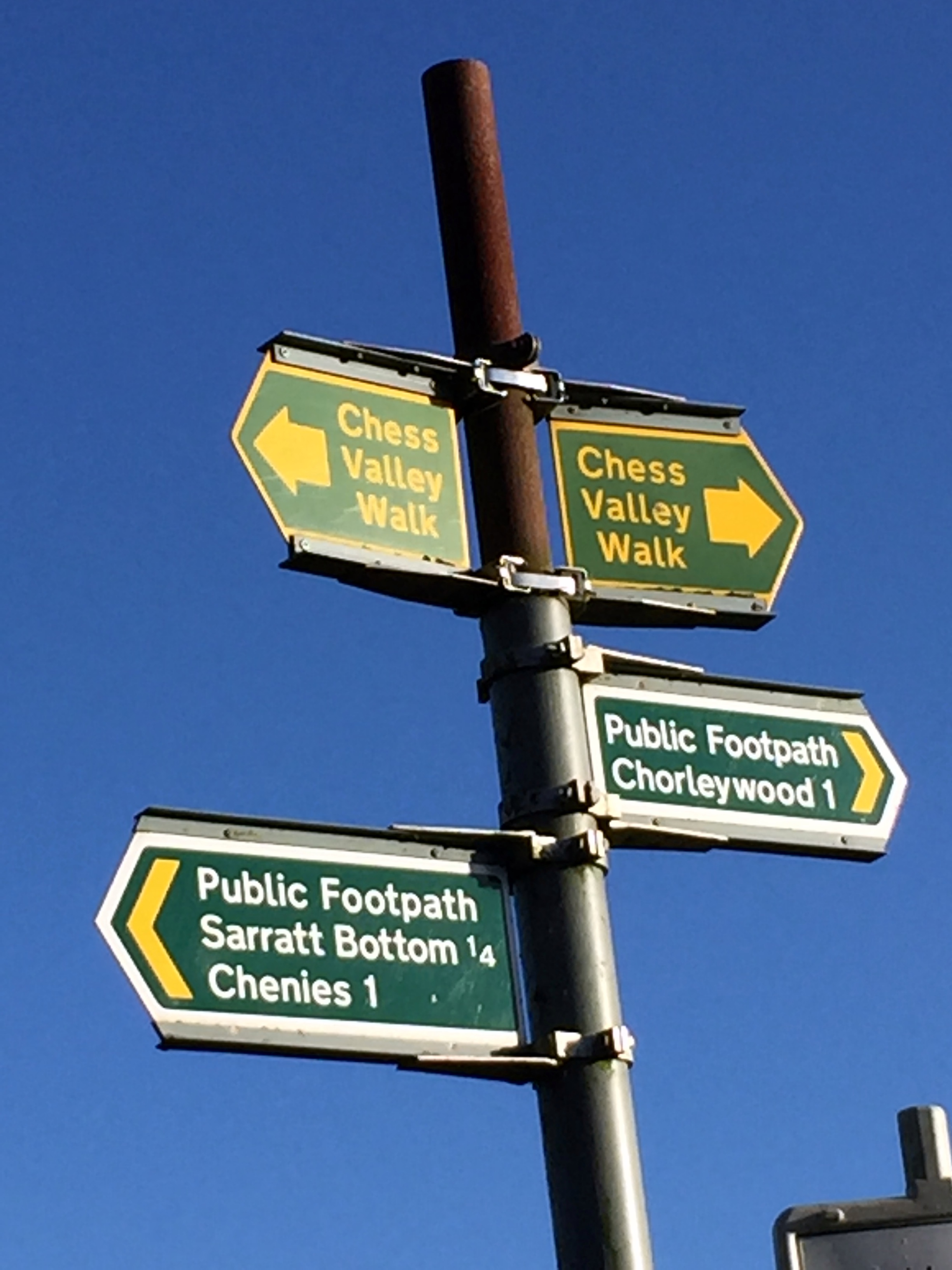
Links: Icknield Way Wikipedia entry, www.icknieldwaytrail.org.uk, www.icknieldwaypath.co.uk
- National Trails page on the Icknield Way Trail (Rider's Route and Walker's Route)
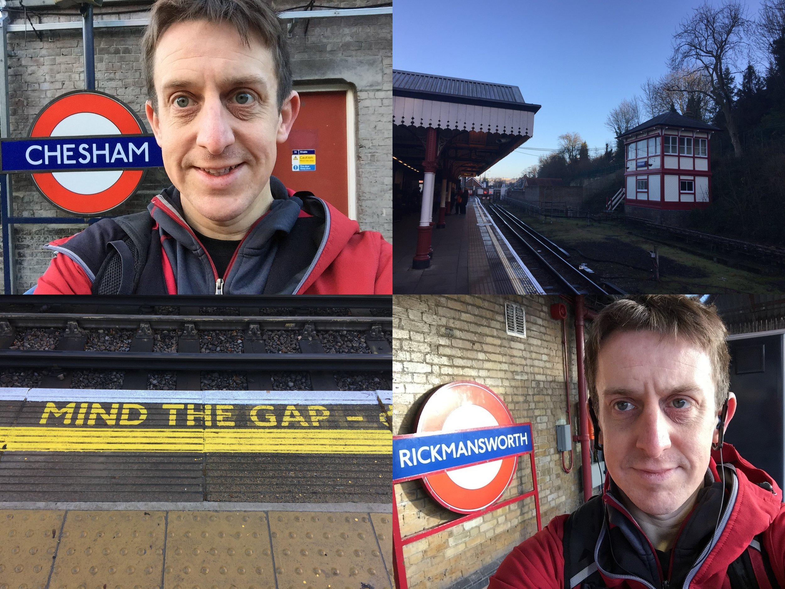
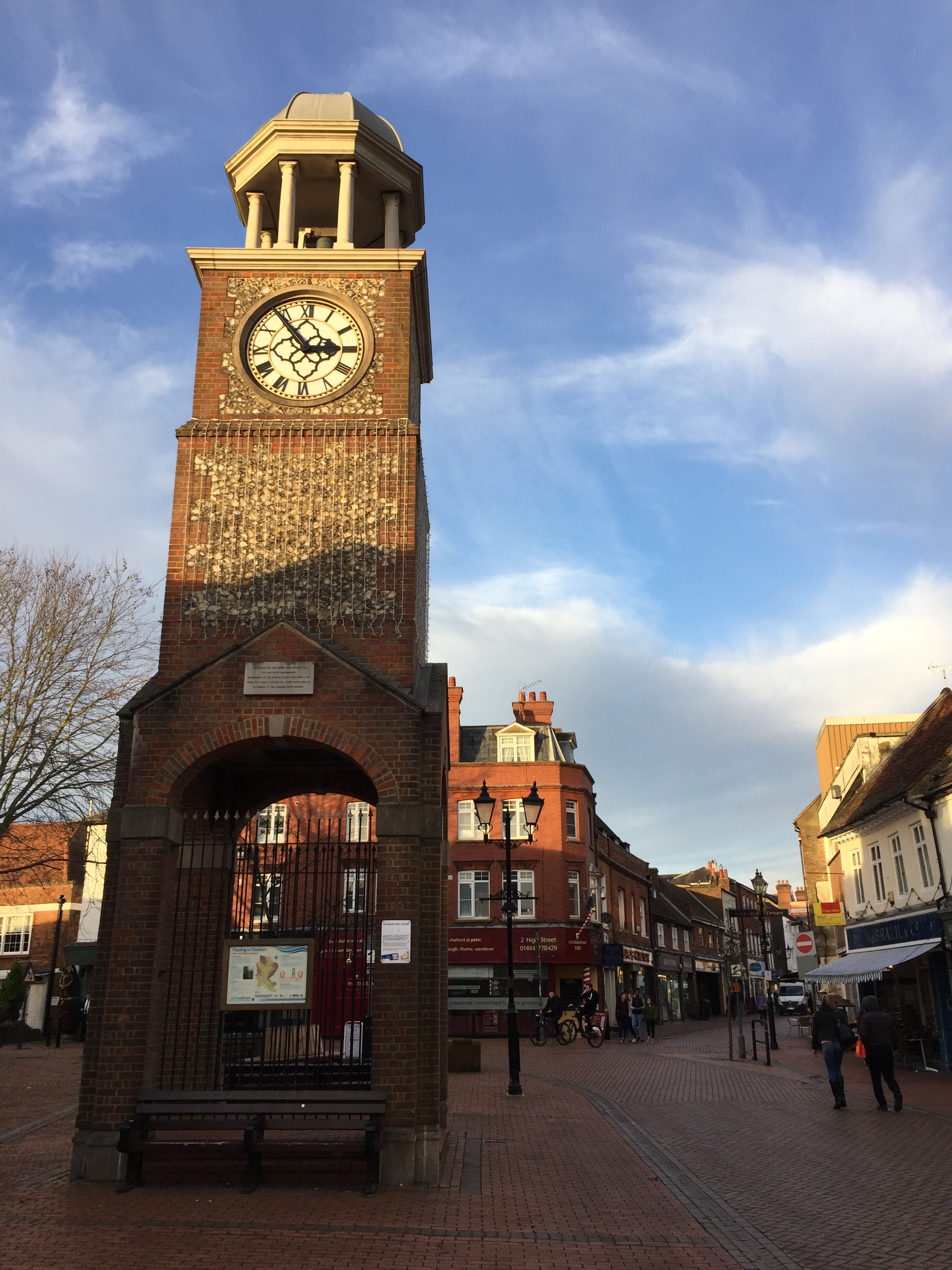
It had been 2 years since I’d started the Icknield Way and I was eager to get back to it. Other adventures had got in the way, but I had a new motivation for it once I’d decided to explore the “North Chilterns Exclave”. This is the north-eastern part of the Chiltern Hills National Landscape that’s cut off from the rest of it. The Chilterns’ rolling chalk hills stop abruptly after Dunstable Downs followed by a flat gap featuring Dunstable, Luton, the A5 and the M1. I’d have to get through this section before the pleasant parts start again near Sundon. So, when I was looking for this year’s Winter Solstice long walk, the next section of the Icknield Way was the obvious choice.
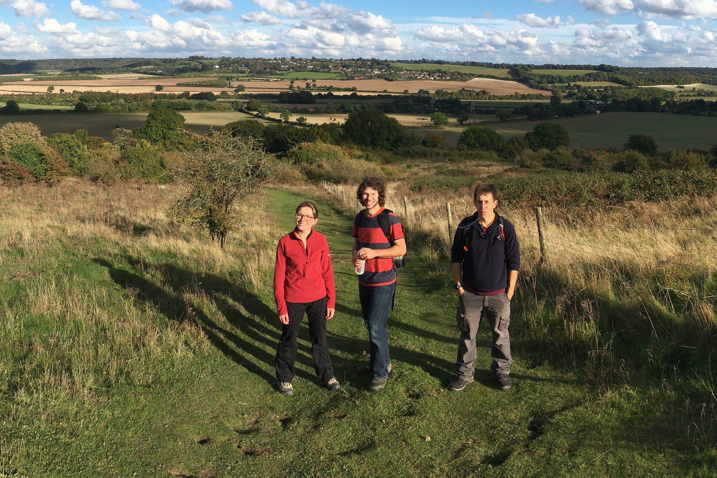
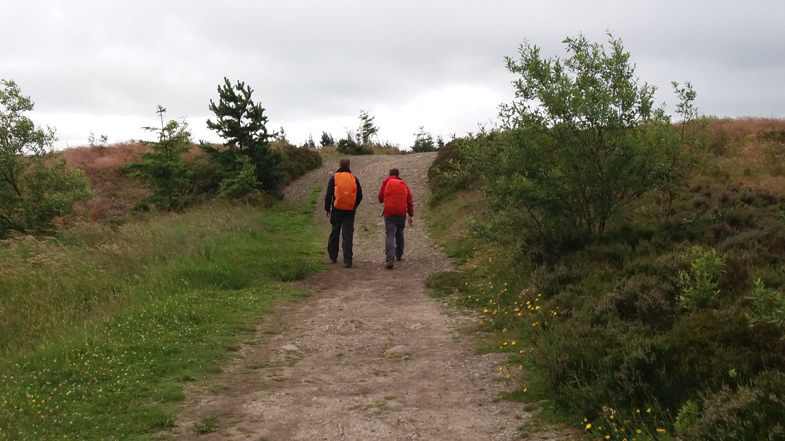
In a change to my previous Solstice walks, I wasn’t alone as my friend Brian came too. It was great to have a buddy this time and there was an added logistical advantage by being able to leave a car at each end. After a bit of parking logistics we set off from the White Lion pub as the sun rose over the newly built distribution centres. We were already firmly in logistics country: a corridor of fields along the M1 that are being gradually replaced by huge warehouses. Within a mile of our start we were already on a diversion of the trail as it skirted round a building site that would soon be a new growth on Dunstable.
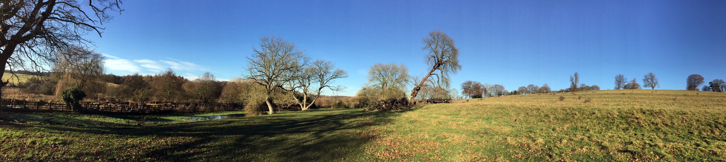
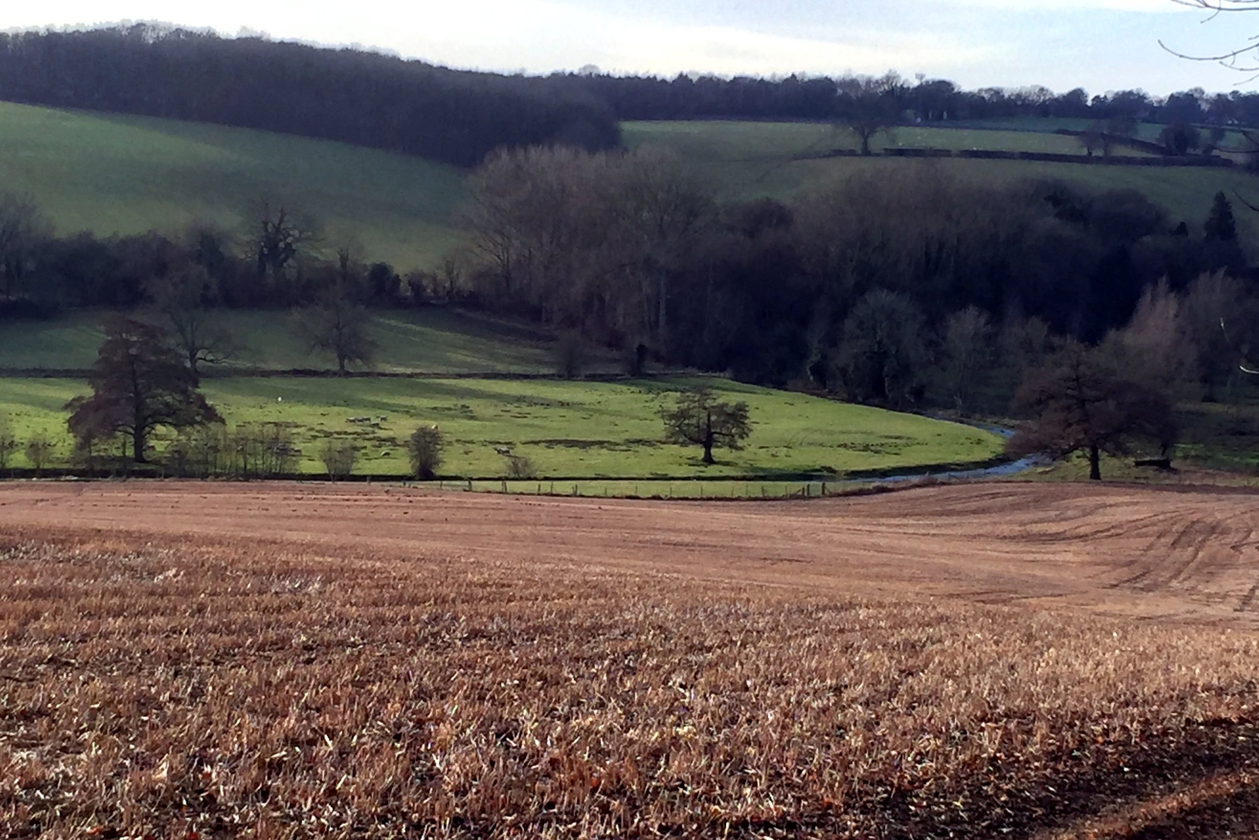
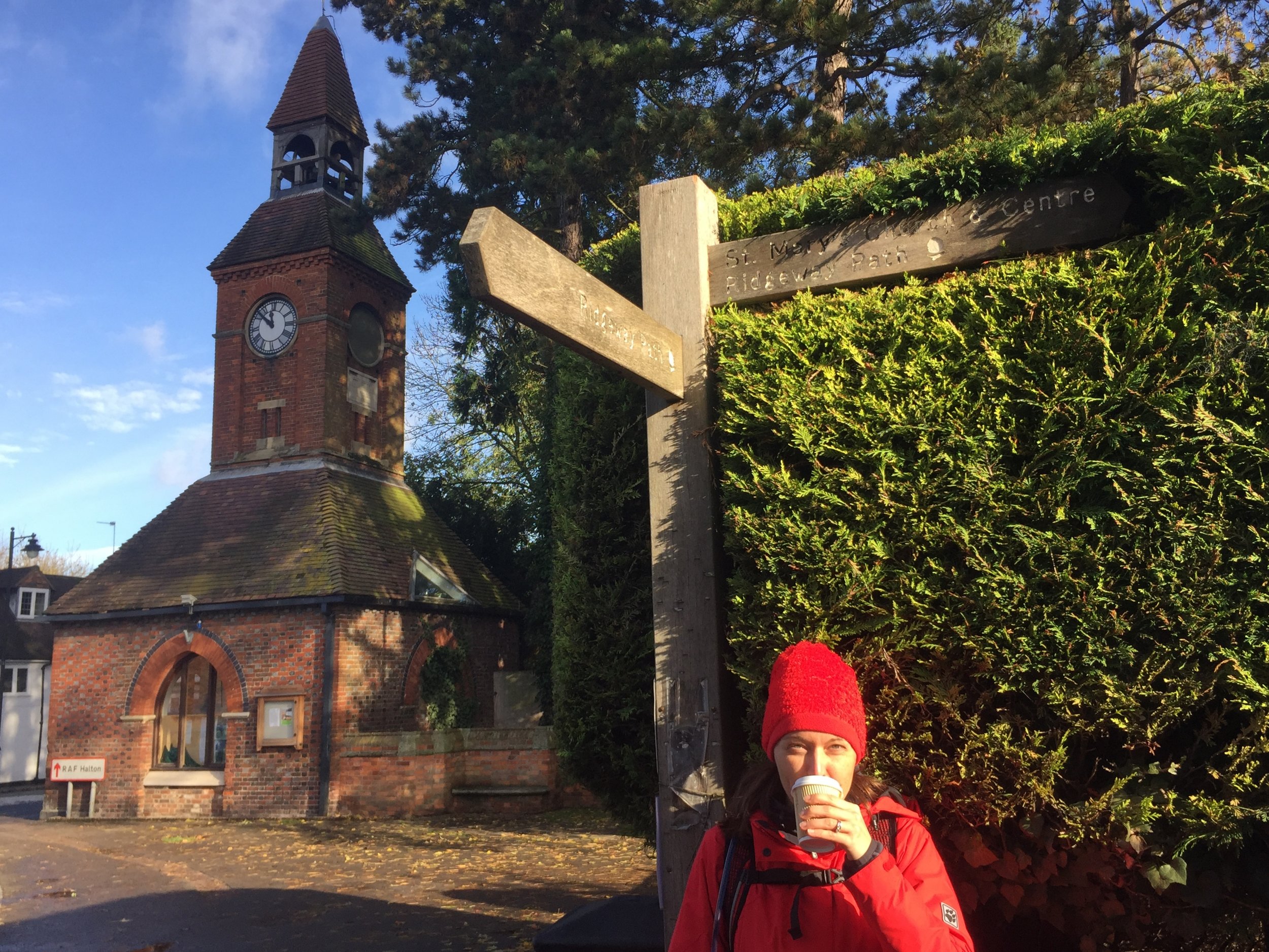
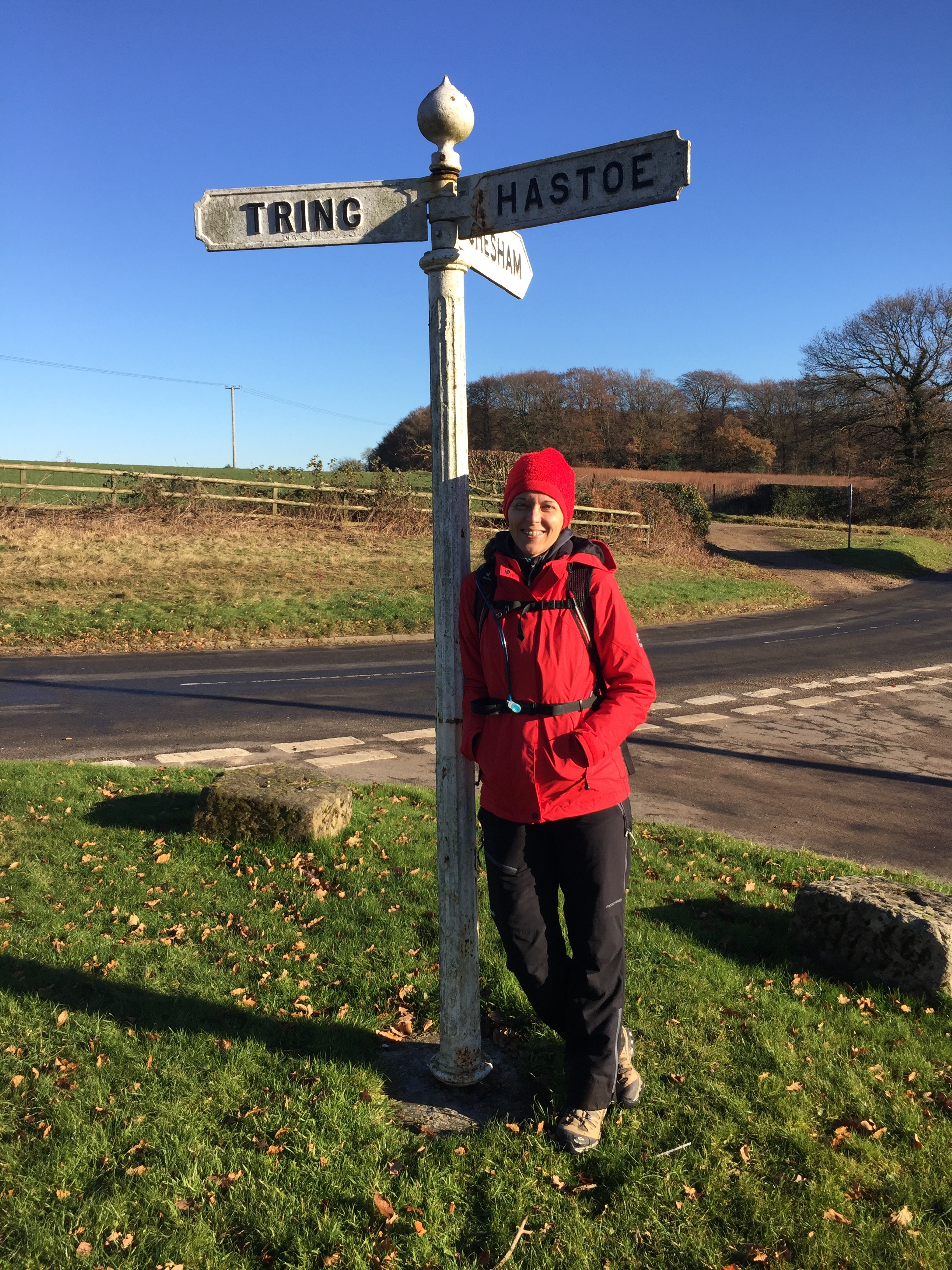
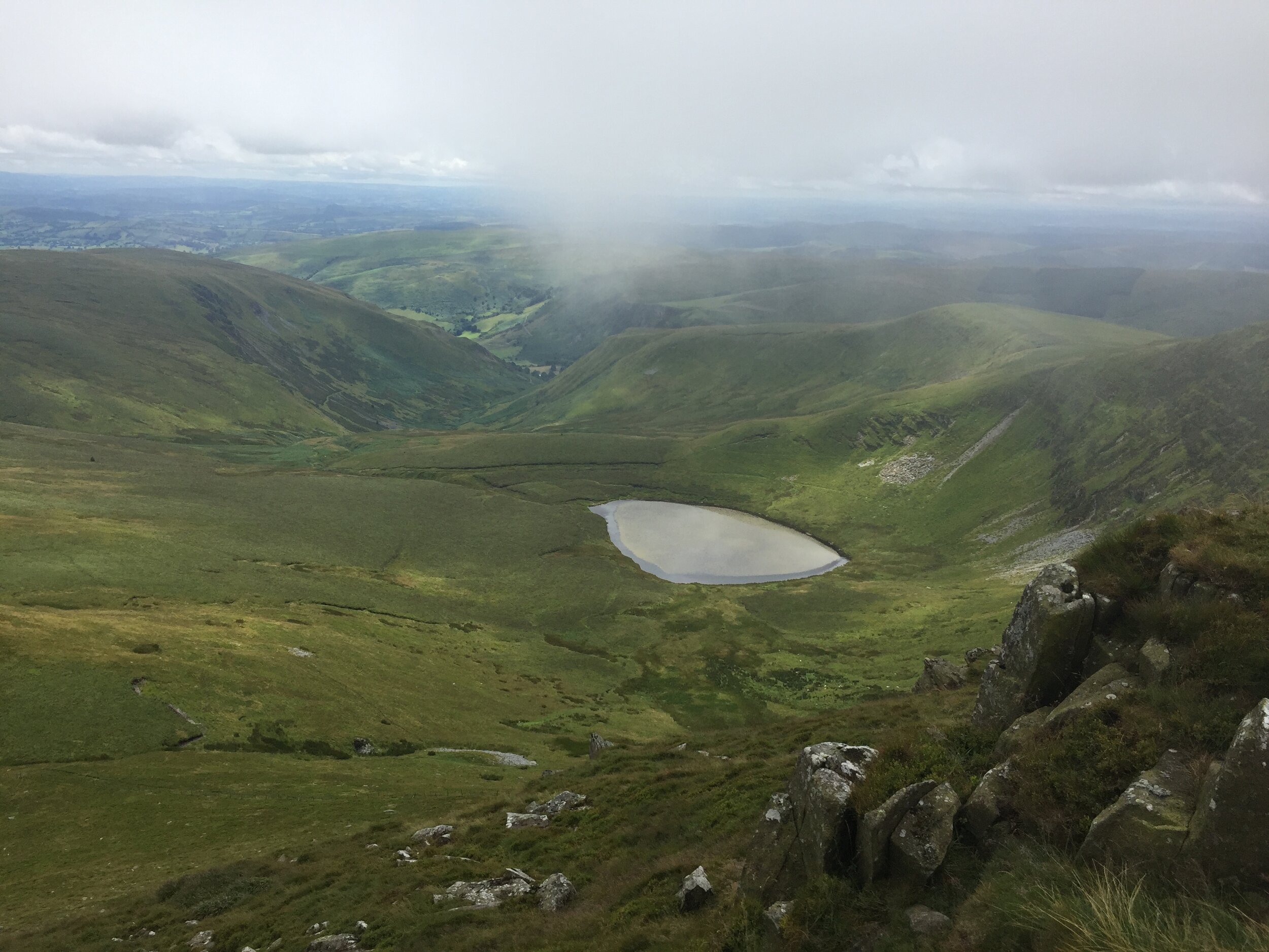
At Wingfield we were back on course and in pleasant countryside again. The next 5k was fairly unremarkable as the trail crossed the gap between the 2 parts of the AONB, crossing the River Flit, M1 and mainline railway. Immediately after rail bridge, the trail ascends 60m reaching Upper Sundon and the border back into the Chilterns. This next section before lunch was lovely with great views for miles to the north and a pleasant route along the John Bunyan Trail and into Sharpenhoe National Trust land.
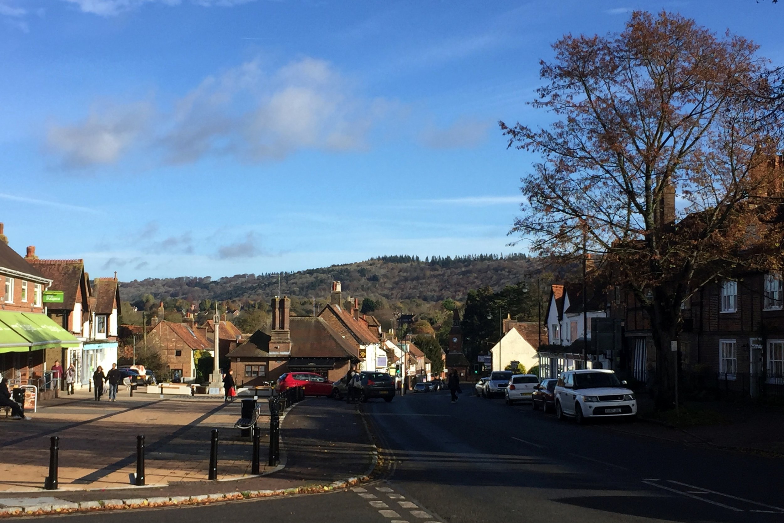
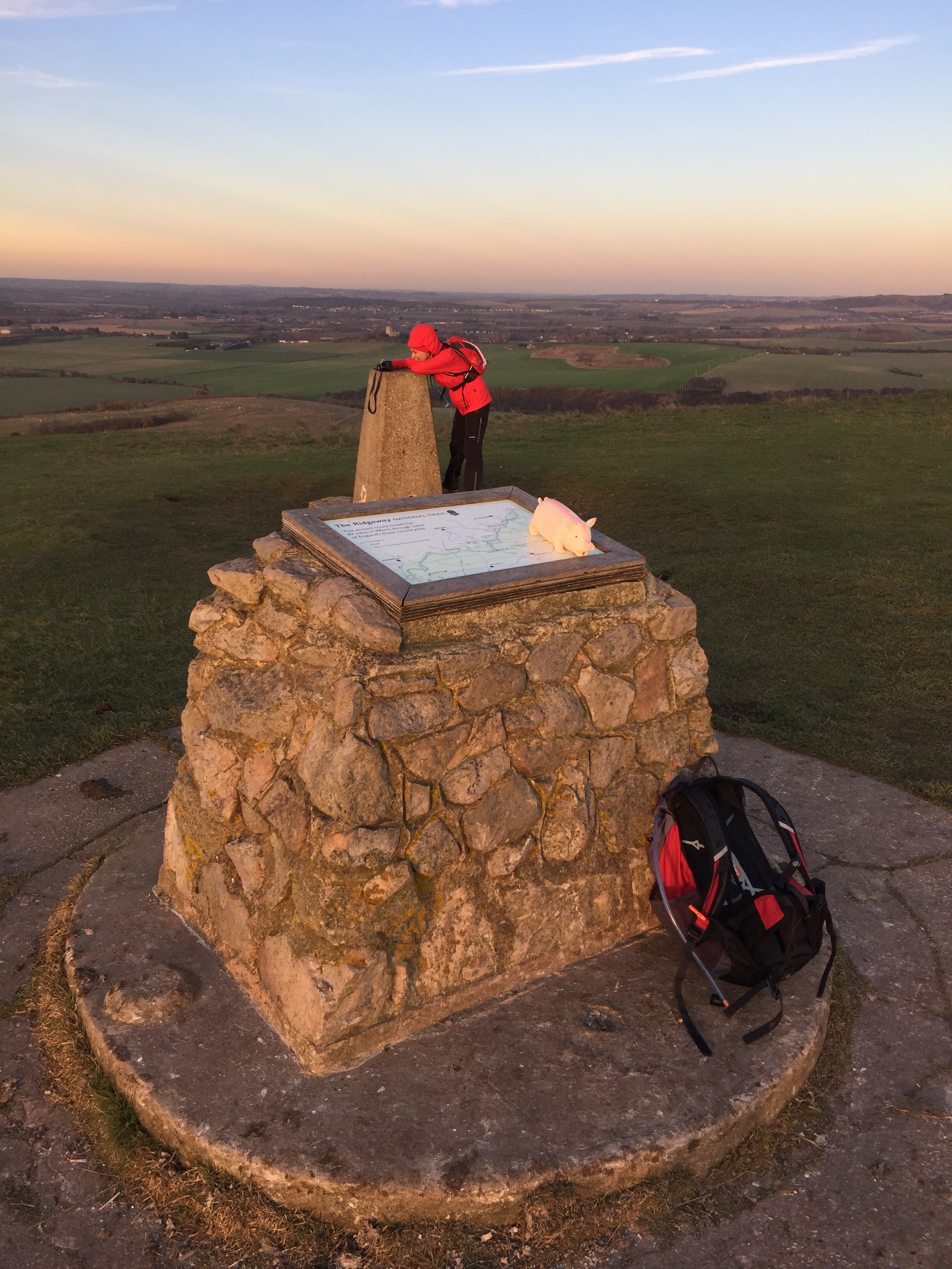
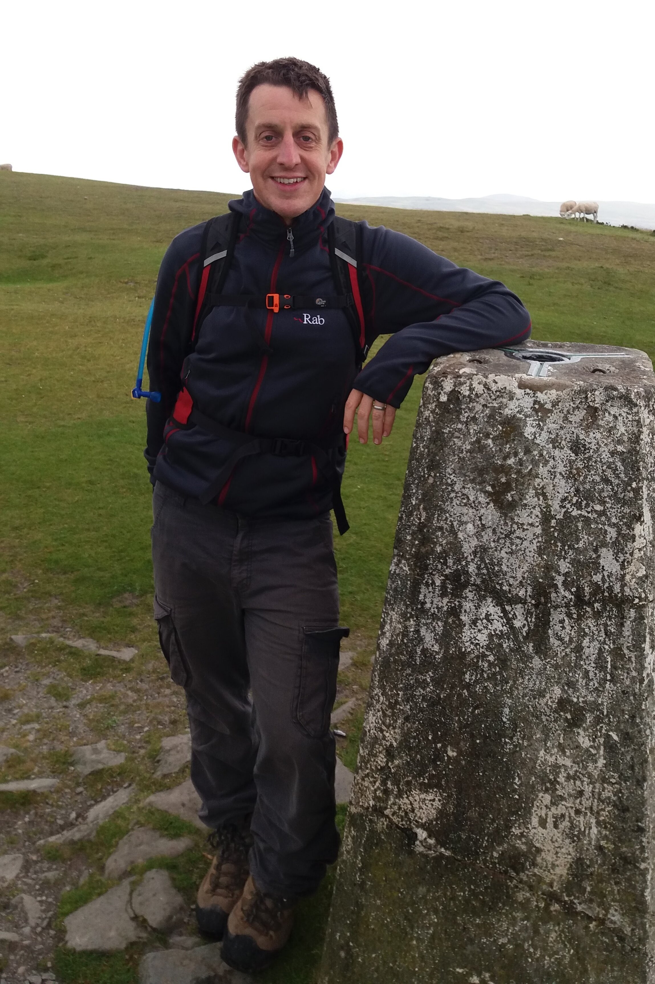
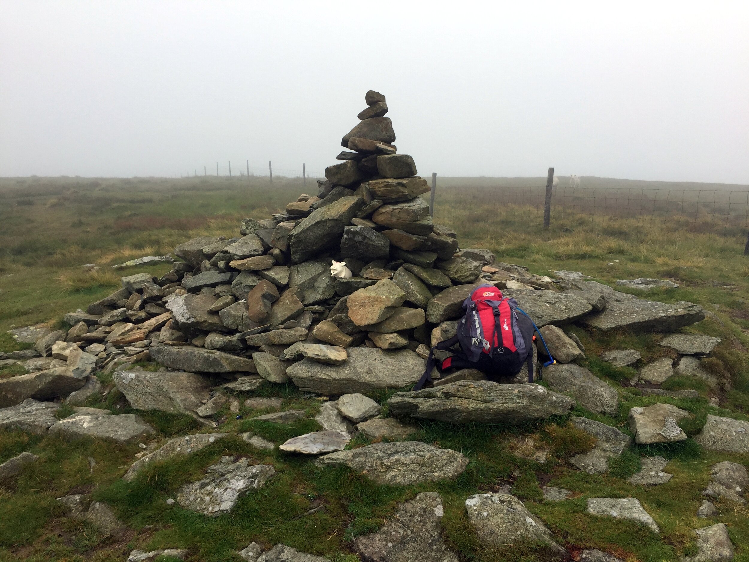
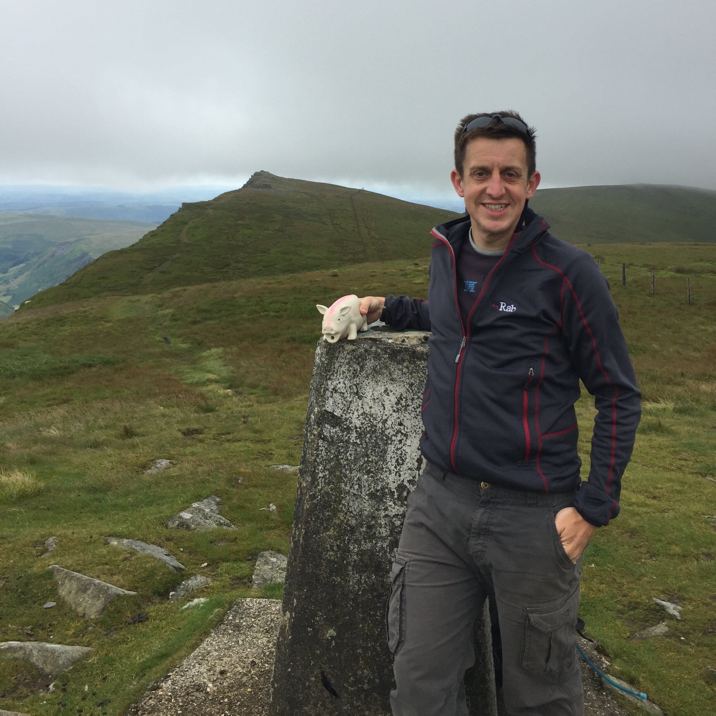
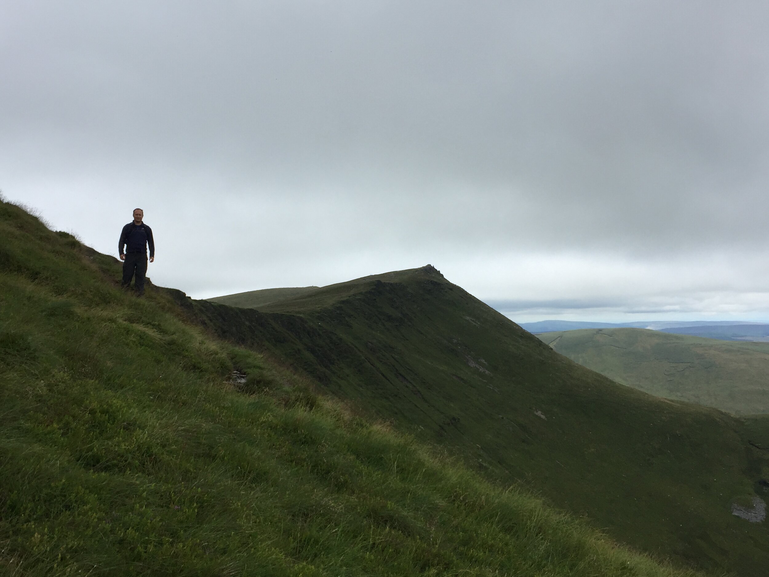
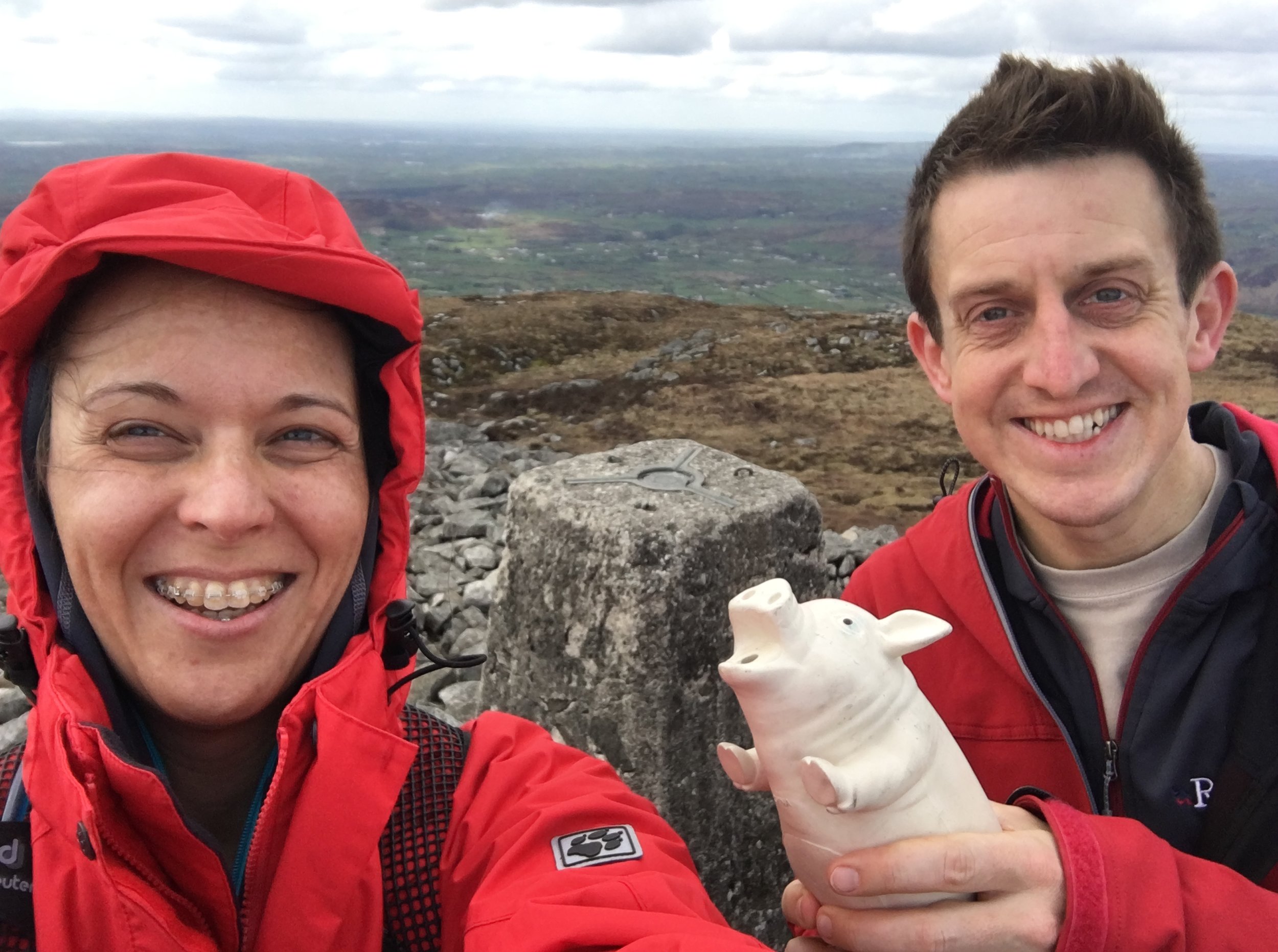
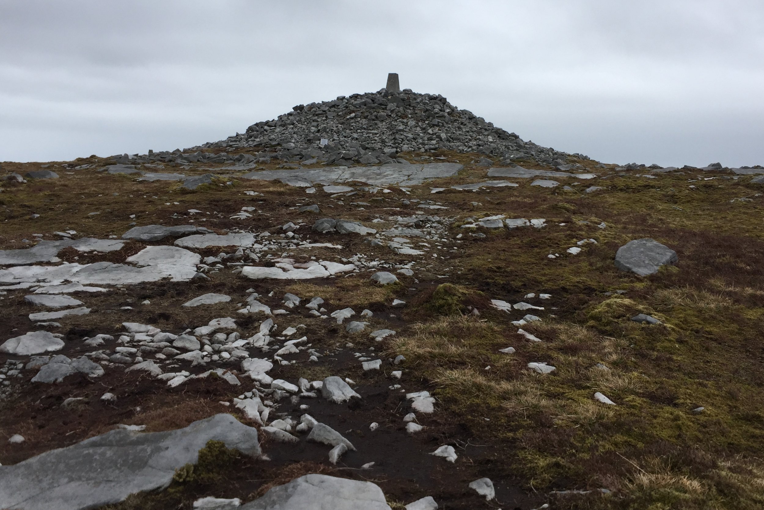
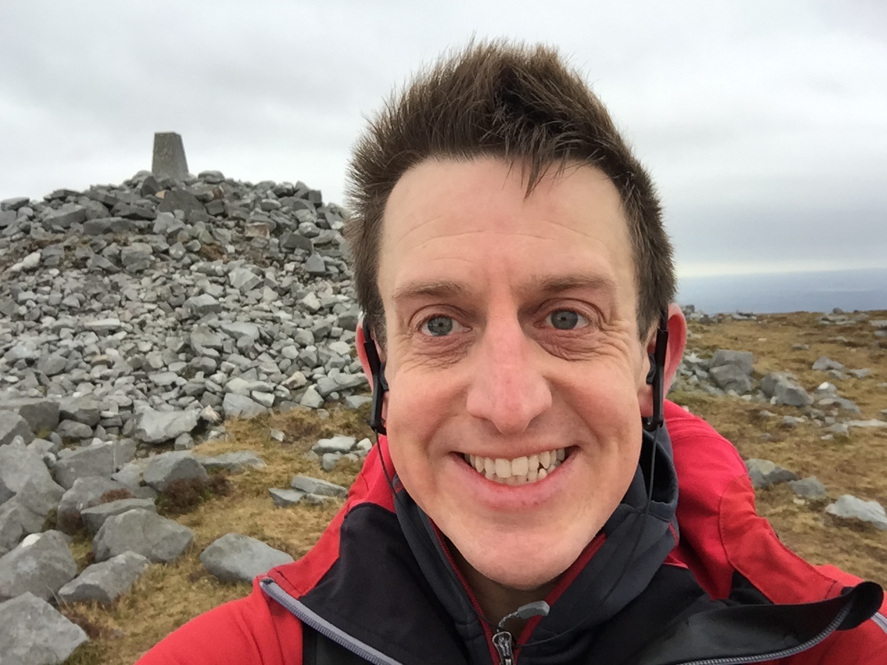
Streatley is a great stopping point a little over half-way into the route. It also had the only pub that we found on the trail and it conveniently opened for lunch shortly after we arrived. After a pretty large Surf-and-Turf and an hour of warming up we headed South back on the trail. The route briefly dips out of the AONB as it skirts the northern edge of Luton before a steep climb up through South Beds Golf Club to the top of Warden Hill. Here we took a minor diversion from the trail to bag our first Trig Pillar of the day. From the Trig you can see right across Luton, which sits right in the middle of the gap in the Chilterns, and Dunstable Downs in the distance.
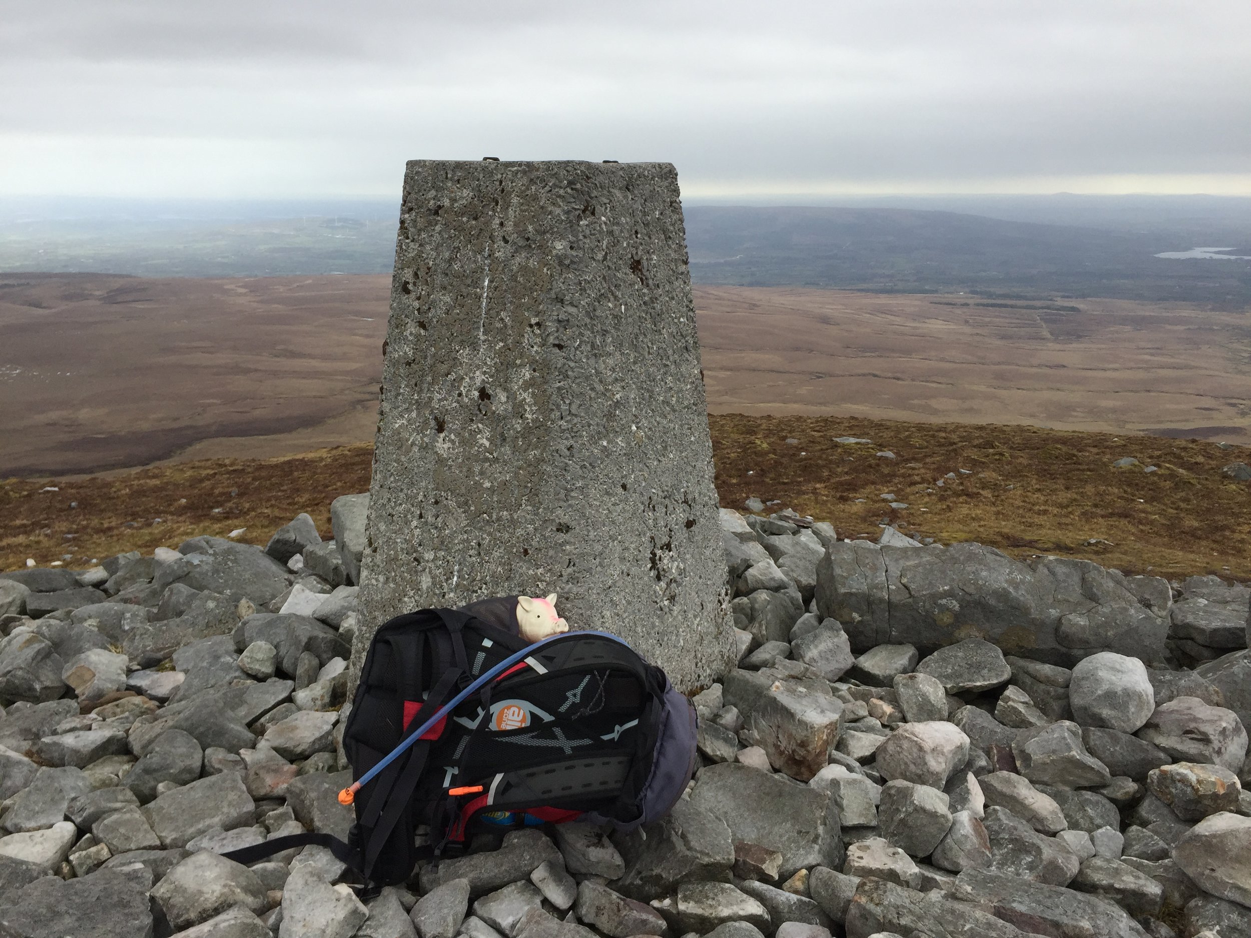
The final few miles was on a straight path heading north-east and keeping on high ground. We took another diversion up Deacon Hill to bag the 2nd Trig Pilar of the day. By now it was getting dark and misty so we quickly returned to the trail and start the final descent to Pirton. My energy was noticeably depleted after Deacon Hill and the final mile seemed to go on for ever. The end point at the Motte and Bailey was a very welcome sight, as was the table by the fireplace to warm up next to before the drive home.


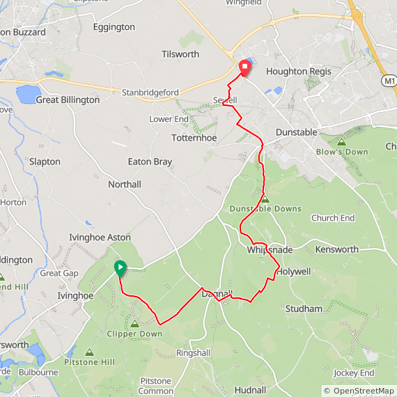
The Icknield Way Through The Chilterns

Red = Part 1: Ivinghoe Beacon to Chalk Hill. Blue Part 2: Chalk Hill to Pirton
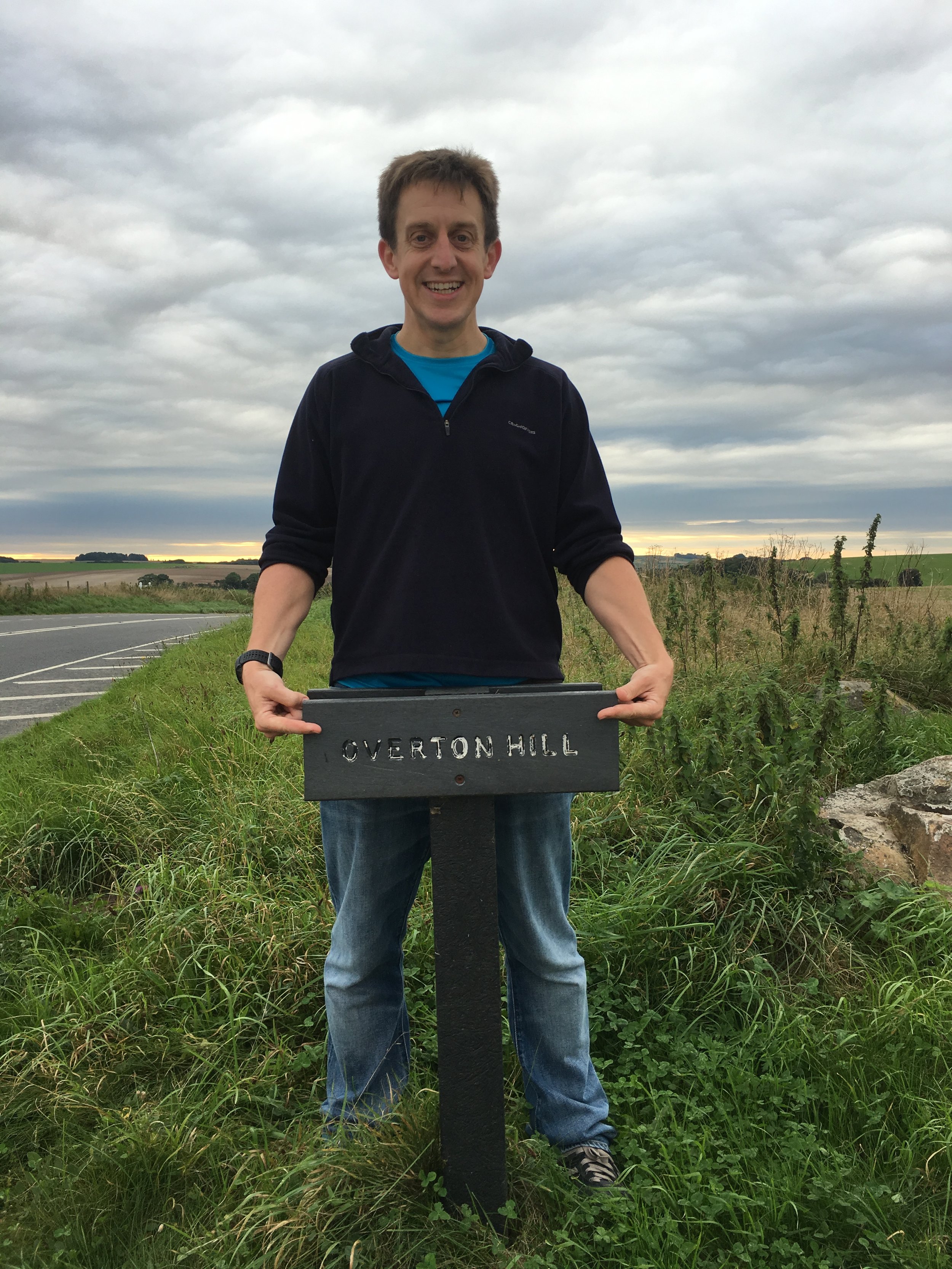
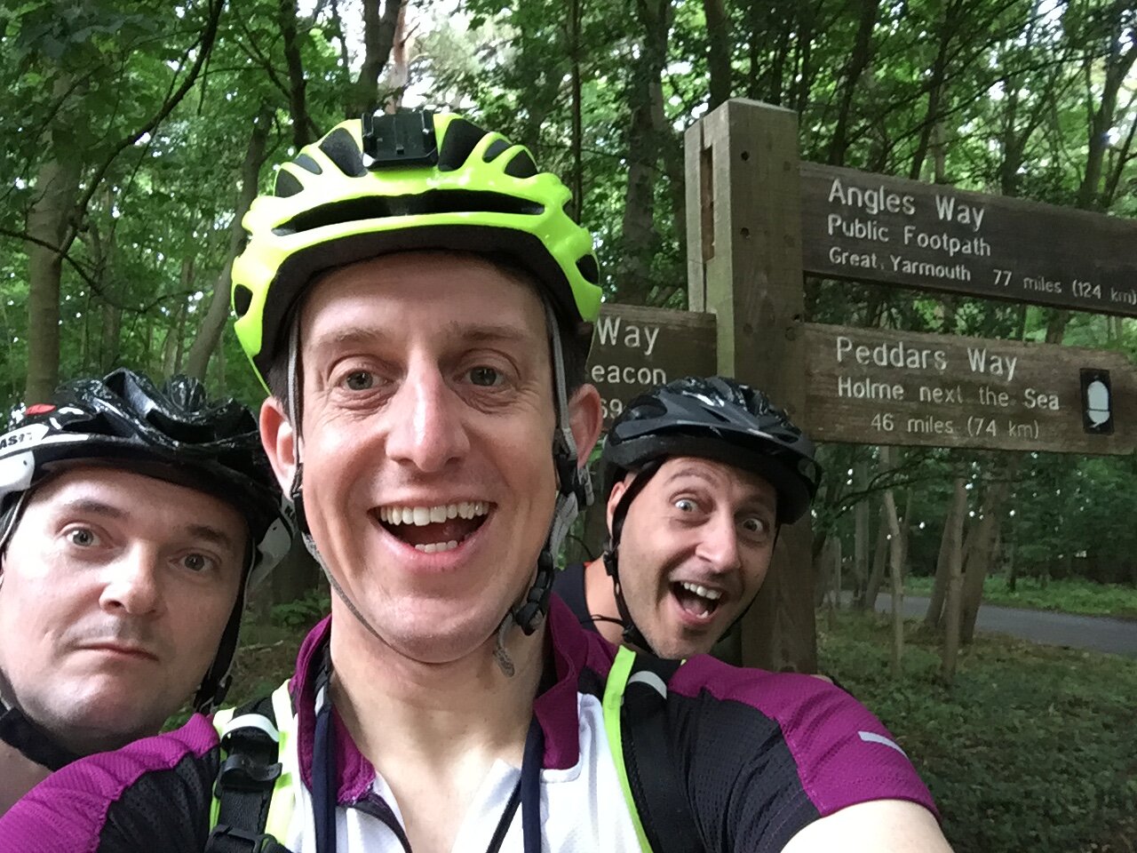
Icknield Way Next Section: Icknield Way Part 3: Pirton to Knettishall Heath (cycling)