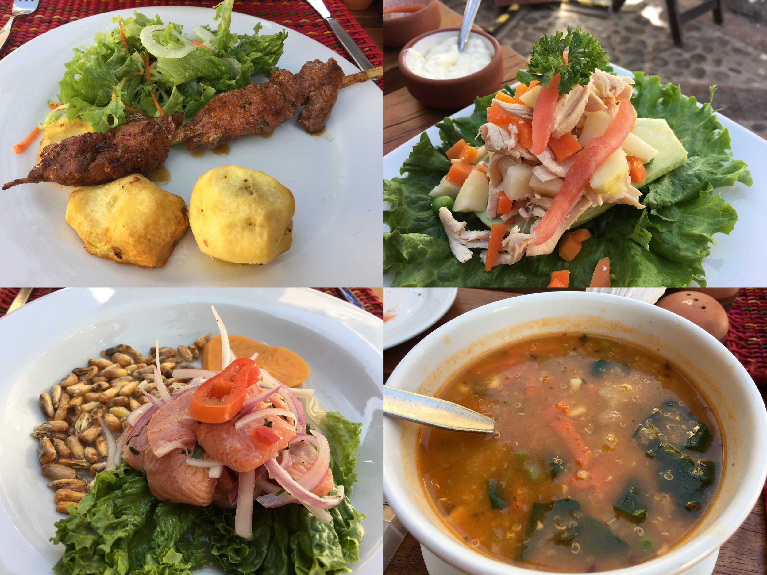
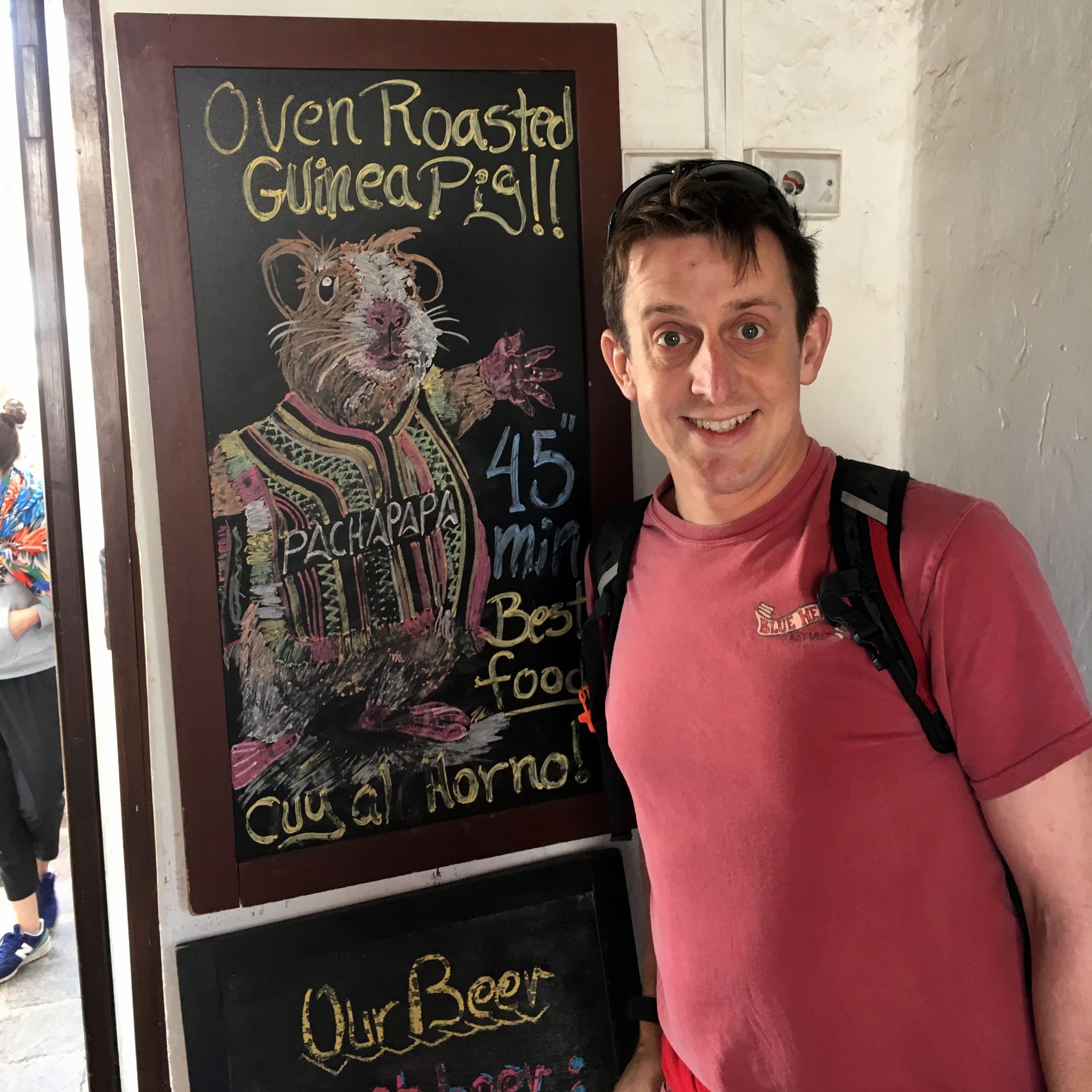
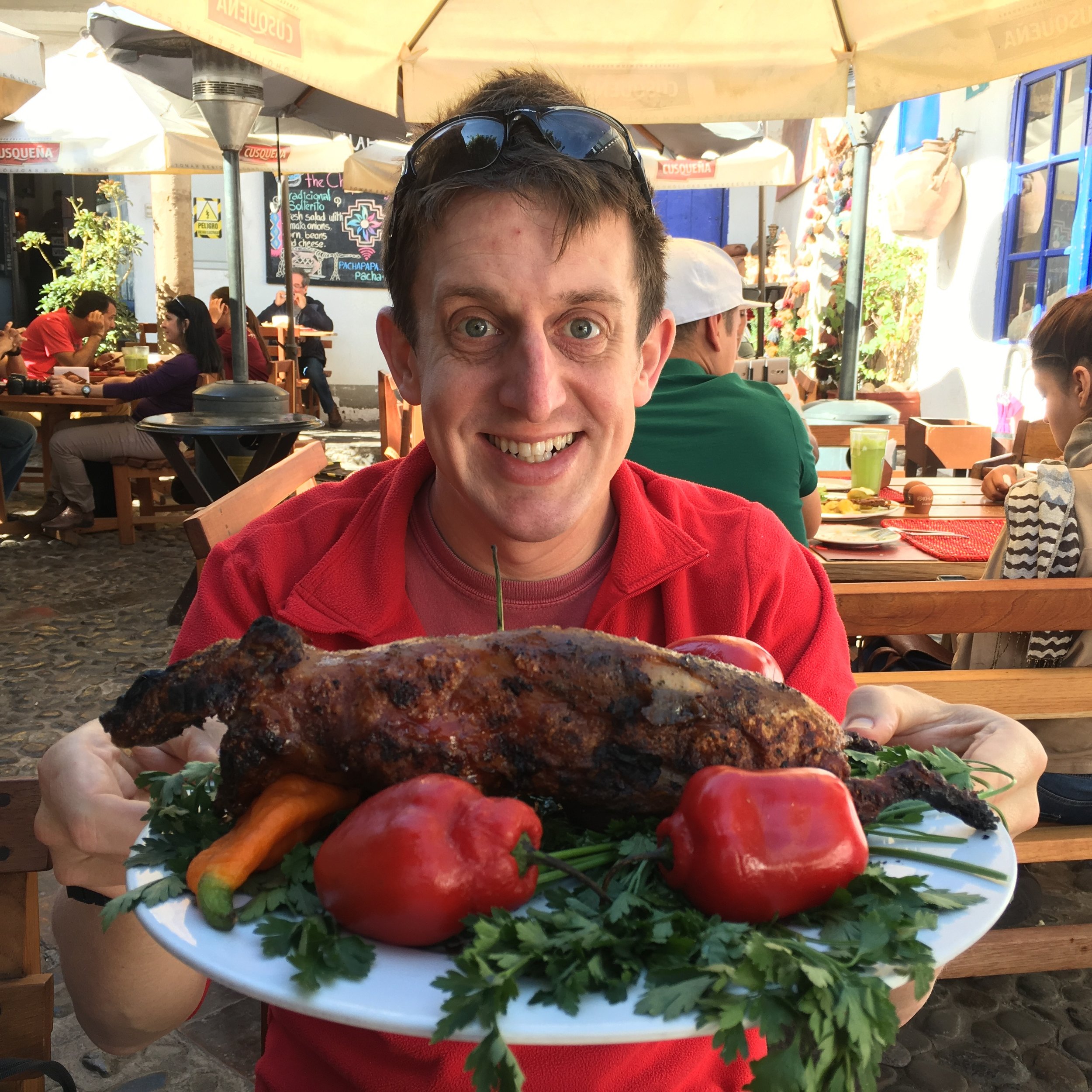
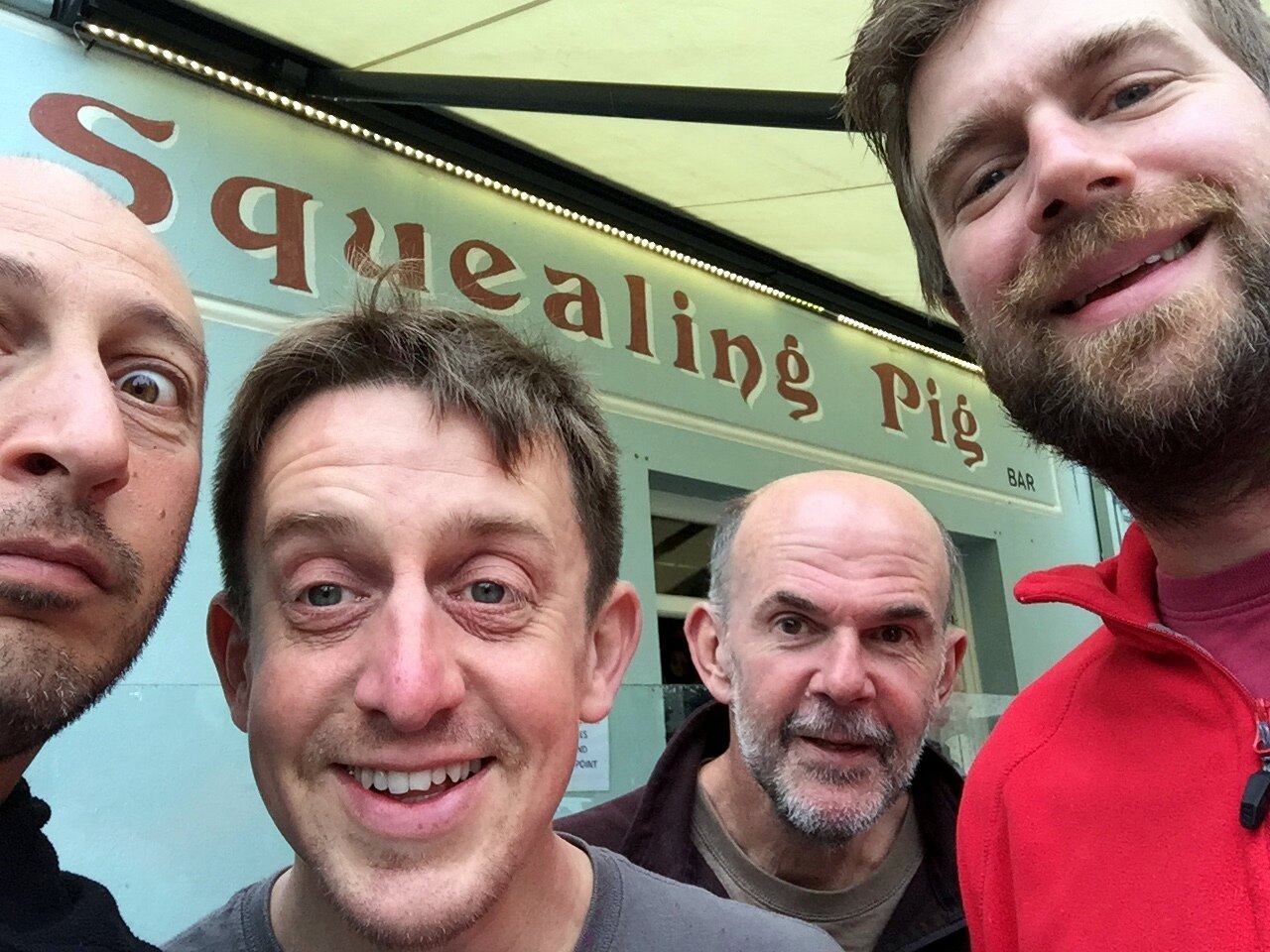
When in Peru: eat the Guinea Pig! We loved Pachapapa in Cusco which serves it as a speciality. Its a 45 minute wait, but that's more than enough time for an Alpaca starter.
Significance: Highest peak in Buteshire (Historic County Top), North Ayrshire (Council Top), North Arran NSA High Point
Member of: Corbett, Marilyn, Hardy
Parent Peak: N/A
Nearest Higher Neighbour: The Cobbler
Elevation: 874m
Date climbed: 11th and 12th August 2017
Coordinates: 55.6258° N, 5.1919° W
Route Start / End: out and back from Cladach car park
Route Distance: 11 km (6.8 miles)
Route Elevation Change: +/- 829m
Subsidiary tops on route: none
GPX File: get via Buy Me a Coffee
Other routes touched (walk): Arran Coastal Way
Other routes touched (cycle): NCN 73
OS Trig Pillar: TP3393 - Goat Fell
Map: OS Explorer 361: Isle of Arran
Guidebook: The UK's County Tops (Jonny Muir), Walking on Arran (Cicerone Walking Guide)
Links: Wikipedia (Buteshire), Wikipedia (Arran), Wikipedia (Goat Fell), Peakbagger, Hillbagging
My first time on Arran was 2 years ago on our Lands End to John O'Groats cycle trip. We took the scenic route across the island and over to Kyntire to avoid Glasgow. The island part was only 15 miles but it made that day one of the most memorable. As we skirted past Goatfell, the huge County Top of Buteshire, I knew I'd be back to walk it.
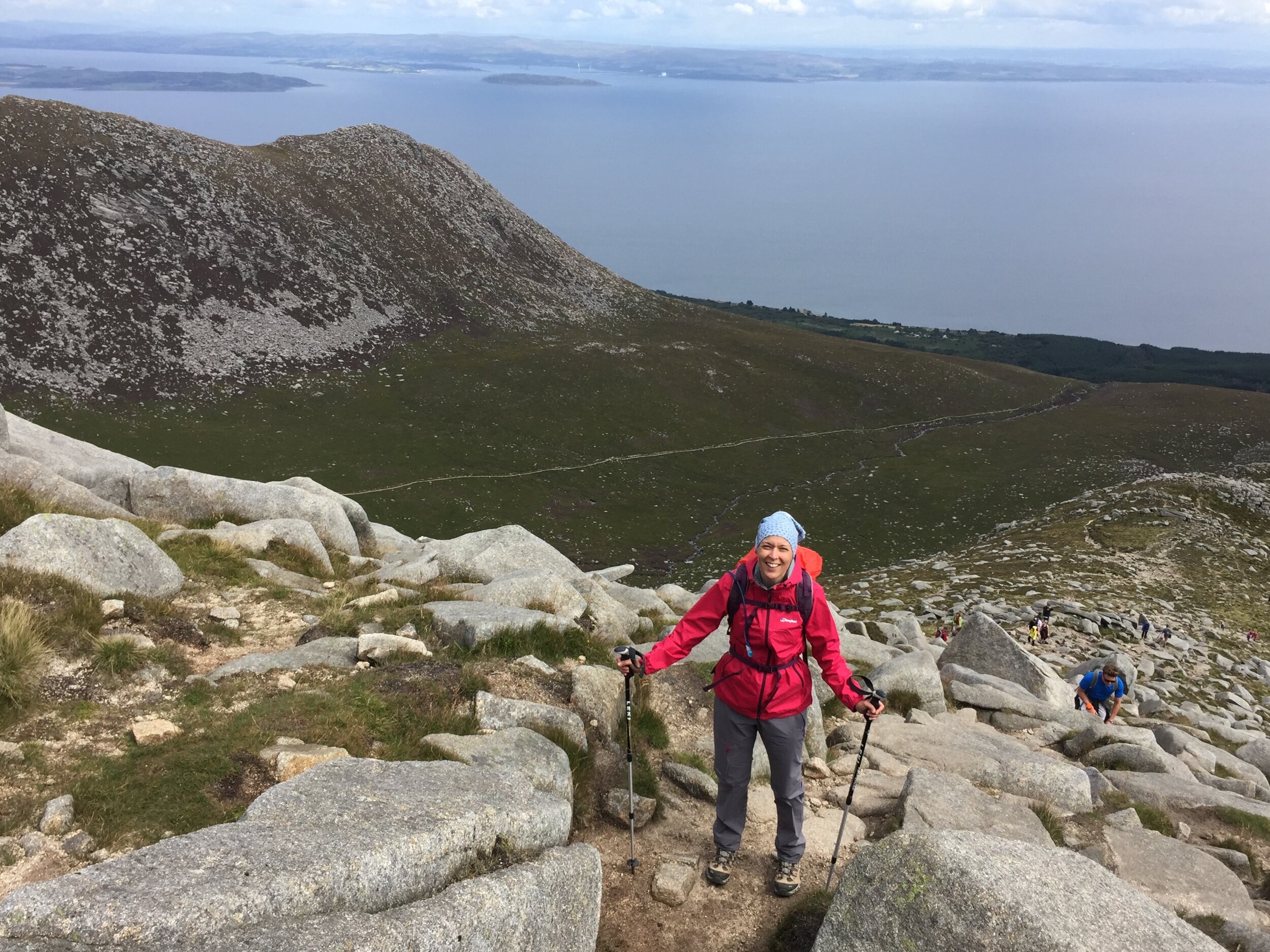
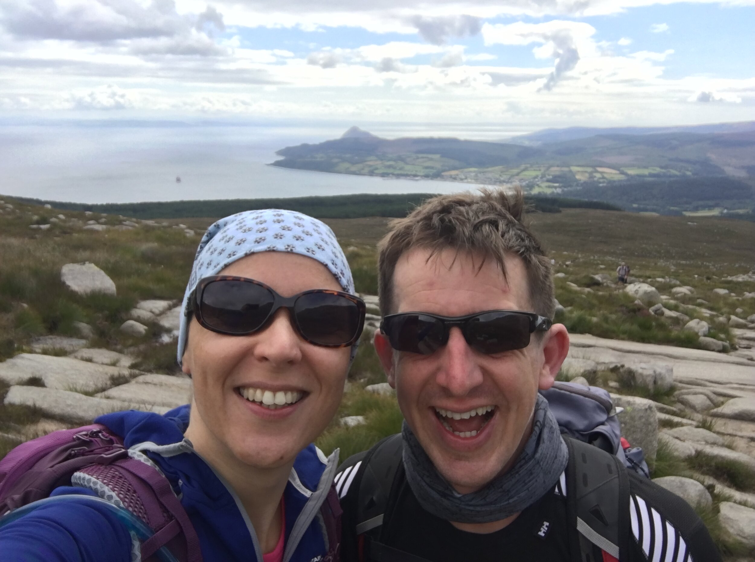
This trip was for our 7th wedding anniversary. With our Inca Trail trip less than a month away, a Goatfell climb was good training. Timi needed to test her both her fitness and her new gear. If she could do Goatfell 2 days running it would be a good sign that we were ready for the Inca's distance and elevation.
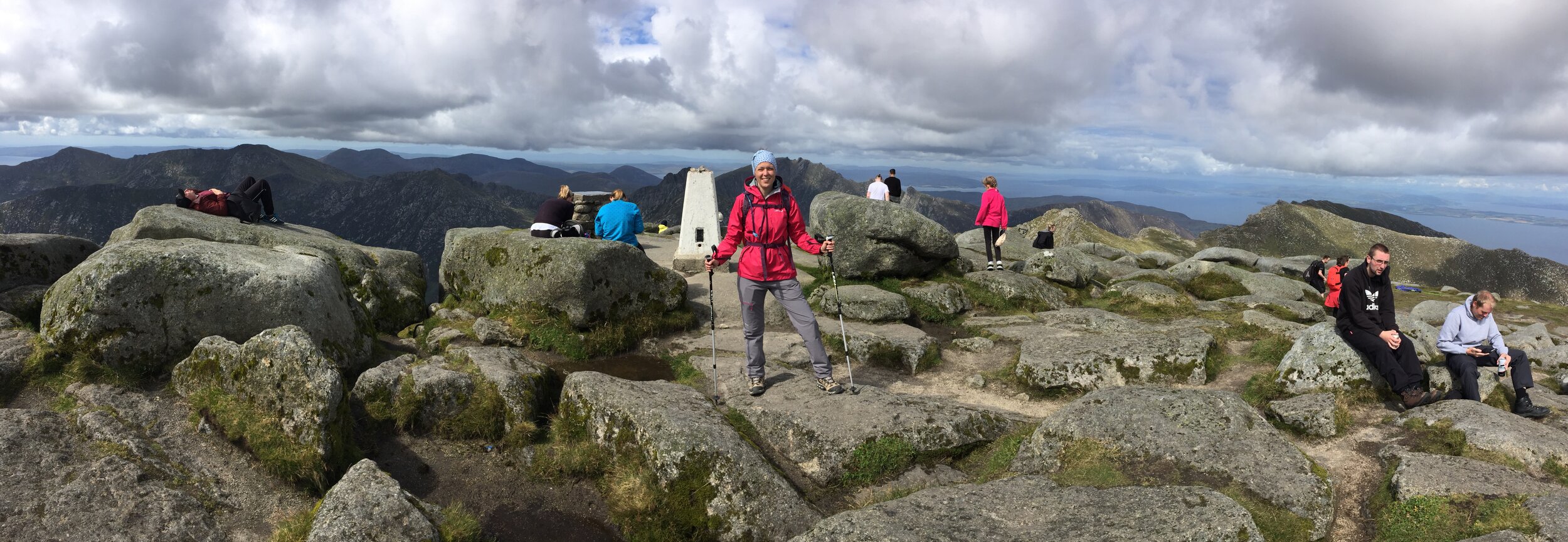
The 2 days we picked couldn't have been more different. The first was an overcast, rainy Friday. We didn't see anyone for the first hour and only 10 people the whole trip. Neither could we see the mountain for most of the day. The clouds hung low, revealing the peak once or twice. As we got closer to the summit, most people were coming down not having braved the final steep ascent.
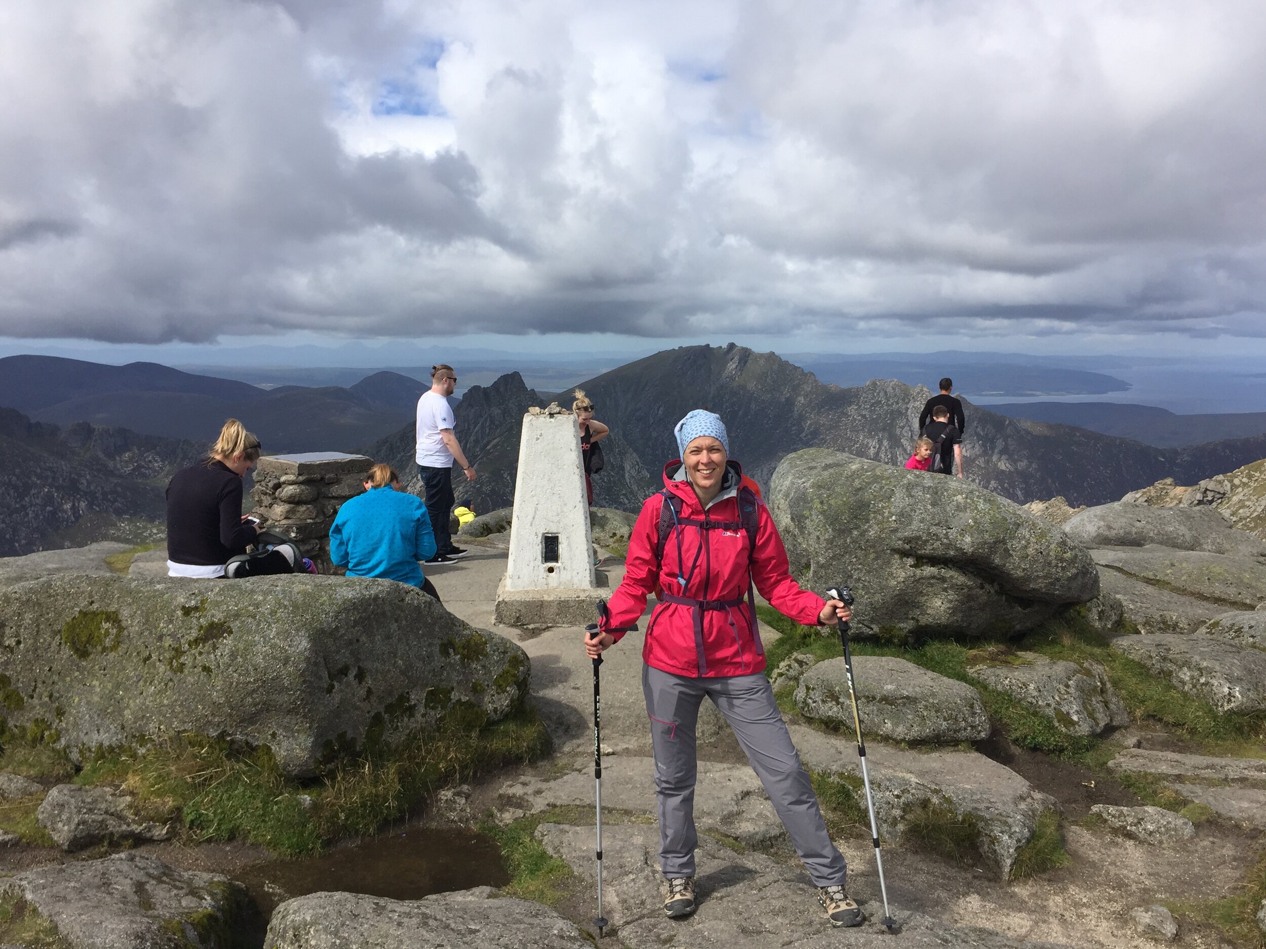
Our plan for day 1 wasn't to reach the top. We wanted to test our waterproofs and get some good descent practice in. Timi has suffered with her knee on steep down-hills in the past. If she was fine now, it would solve our main concern for the Inca Trail. We took it steady and reached the top in under 3 hours. The rain had stopped but the summit was windy so we headed down after a few minutes. Timi's knee held out well and we completed the trip in 5.5 hours.
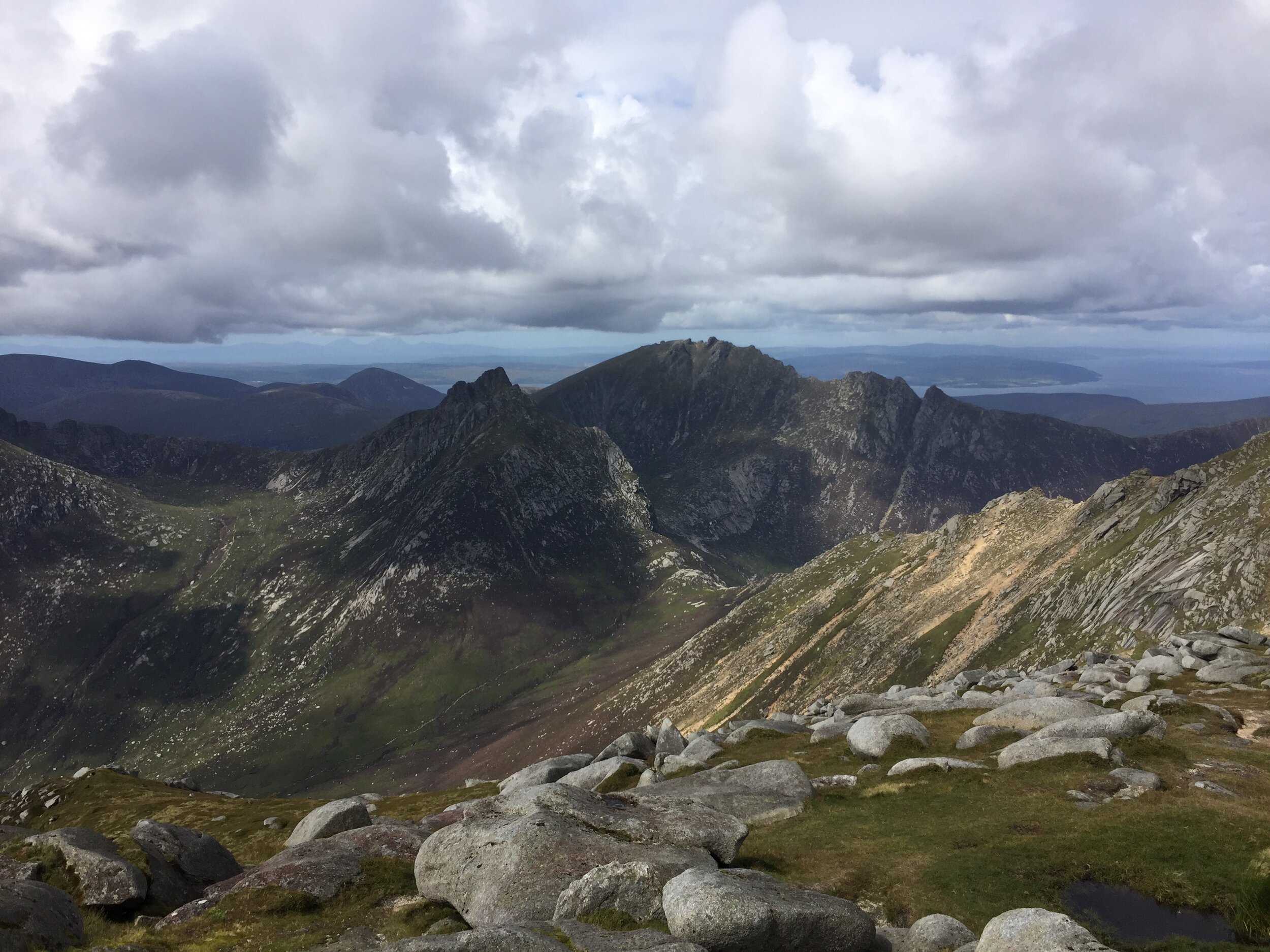
Day 2 showed us a completely different Goatfell. The sun was out and visibility was as good as I've seen on UK hills. People were out too, with at least 10x more on the route than the day before. The view from the summit was one of the most stunning I've seen. We saw the coast on all sides of the mountain, the mainland back to the east and the Mull of Kyntire to the west.
We finished the day with a beer at the Arran Brewery at the start of the trail, then a walk in the beach opposite. As a training mission, it was a big success. Next stop: Peru.
Bonus walk: King’s Cave
Before our ferry trip home we tried the King’s Cave Walk, recommended as one of the top walks on the island. It's a short one at 3 miles / ~2 hours and covers some beautiful views of the west of the island. The cave itself is somewhat underwhelming, but don’t let that put you off as its a great walk even without the cave.
Start / Finish: Car Park at Wooburn Manor Park, Wooburn Green, HP10 0TT
Distance: 6.4 km (4 miles)
Elevation change: +/- 136m
GPX File: get via Buy Me a Coffee
Other Routes Touched (walk): Wycombe To Bourne End Disused Railway Trail
Other Routes Touched (cycle): River Wye Circular
Pubs / Cafes on route: The Green Dragon (Flackwell Heath)
Map: OS Explorer Map (172) Chiltern Hills East
Links: River Wye, Wooburn Green, Flackwell Heath
Wooburn Green may be just outside the boundary of the AONB but this is still a proper Chilterns Walk. I found this route when looking for a good practice hill for the Inca Trail. Whilst scouring our own OS Map this was the nearest concentration of closely knitted contour lines within a short drive of home. The guidance below will help you navigate but don’t use it as a fully accurate turn-by-turn guide. Always take a map and/or a GPX route and prepare well for the weather and terrain.
You can park for free at Wooburn Manor park and start the walk at the footbridge over the River Wye. After crossing Town Lane and the route of the disused Wycombe To Bourne End Railway follow the footpath up the hill. Bear right to follow the western edge of a small wood and you’ll emerge into housing in Flackwell Heath. Follow Northern Woods road onto Juniper Hill descending back down to Wooburn Green.
Walking up Glory Mill lane you’ll pass though what used to be the old Paper Mill that was demolished in the 1990’s. What used to be a thriving industrial area fed by the River Wye is now a significantly quieter housing estate. Just past St Mary’s Pastoral Centre, turn right onto a path between older housing and the river. Cross over Holtspur Lane and into open fields ascending into Mill Wood. Follow Mill Wood south, crossing the junction of Windsor Hill and The Chase. When the path emerges onto Berghers Hill, the road will curve left. At this point take the right hand footpath heading west. From here the route descends through a wood and a field back to the car park.
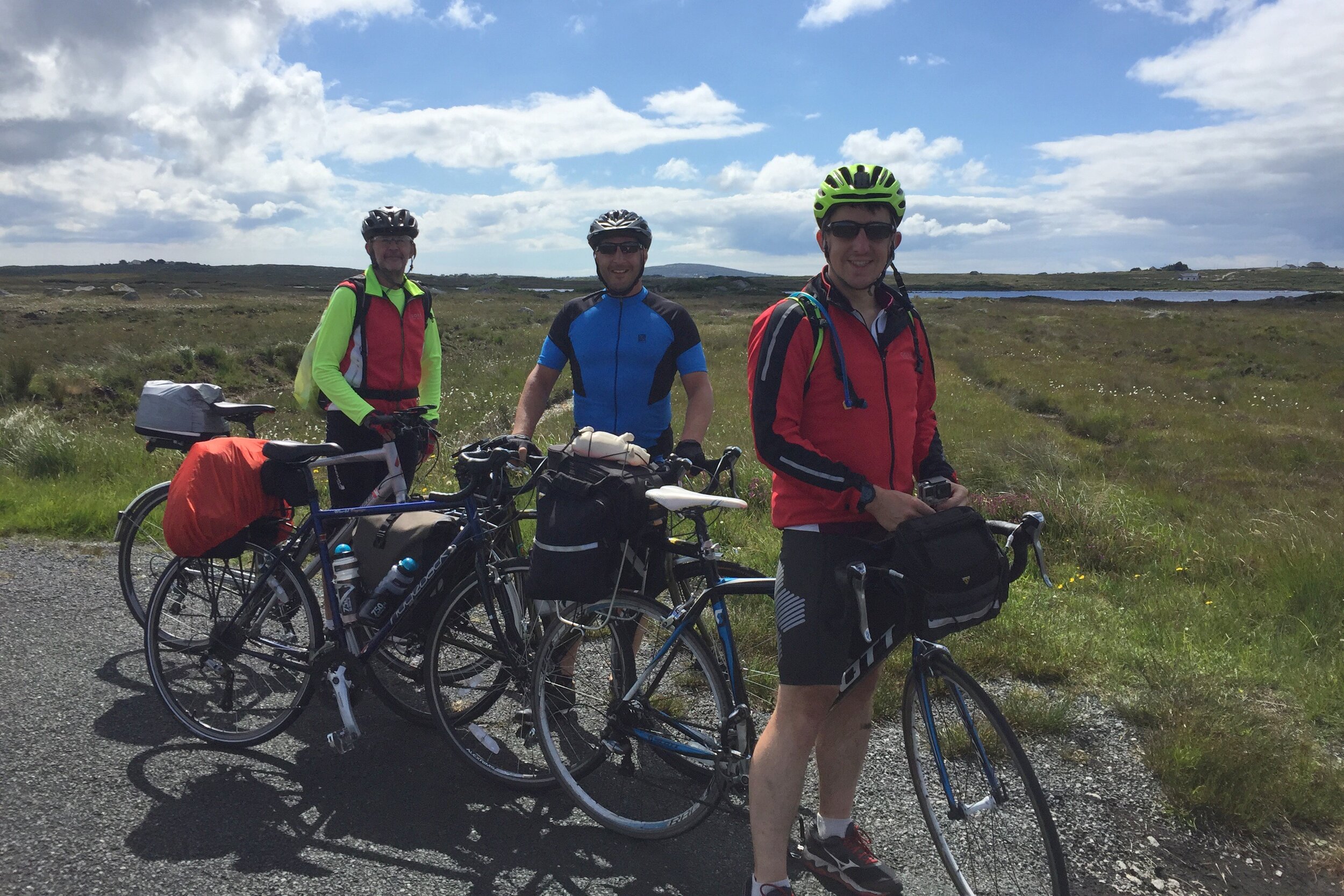
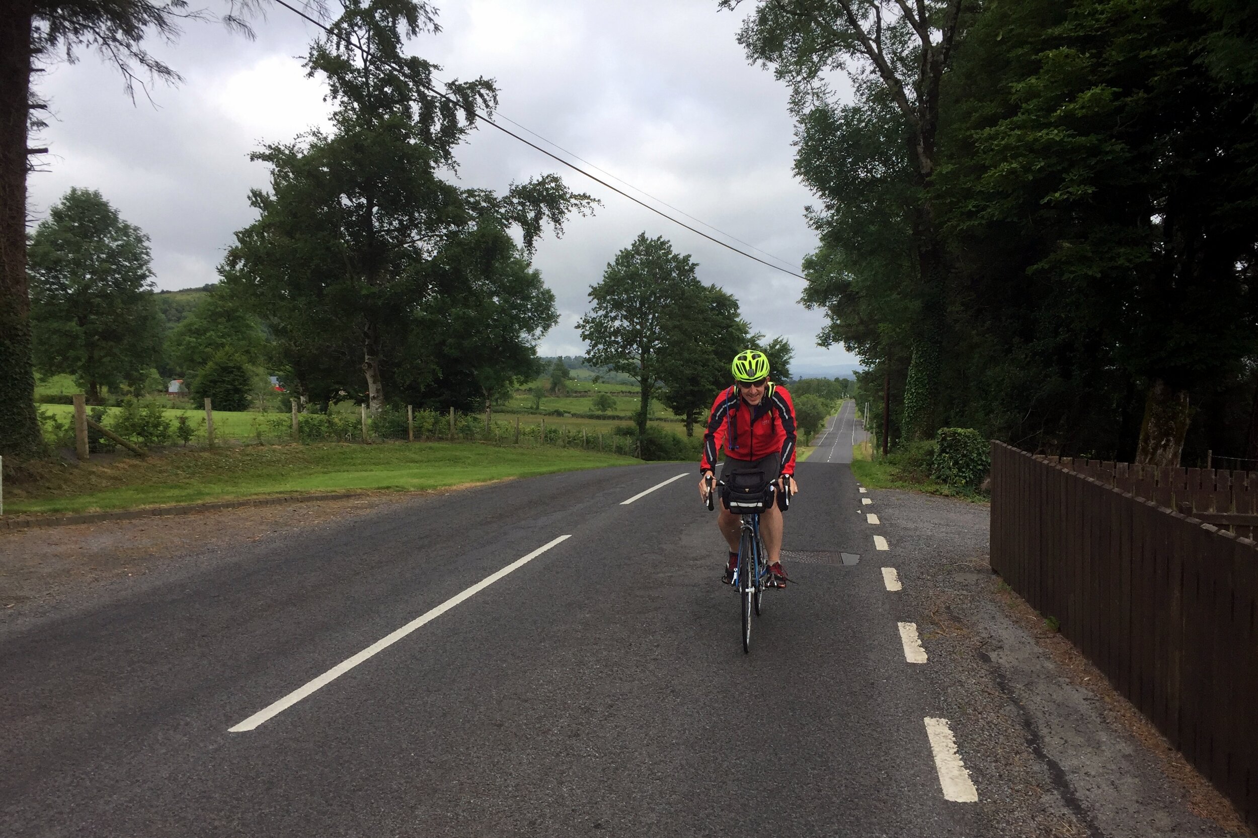
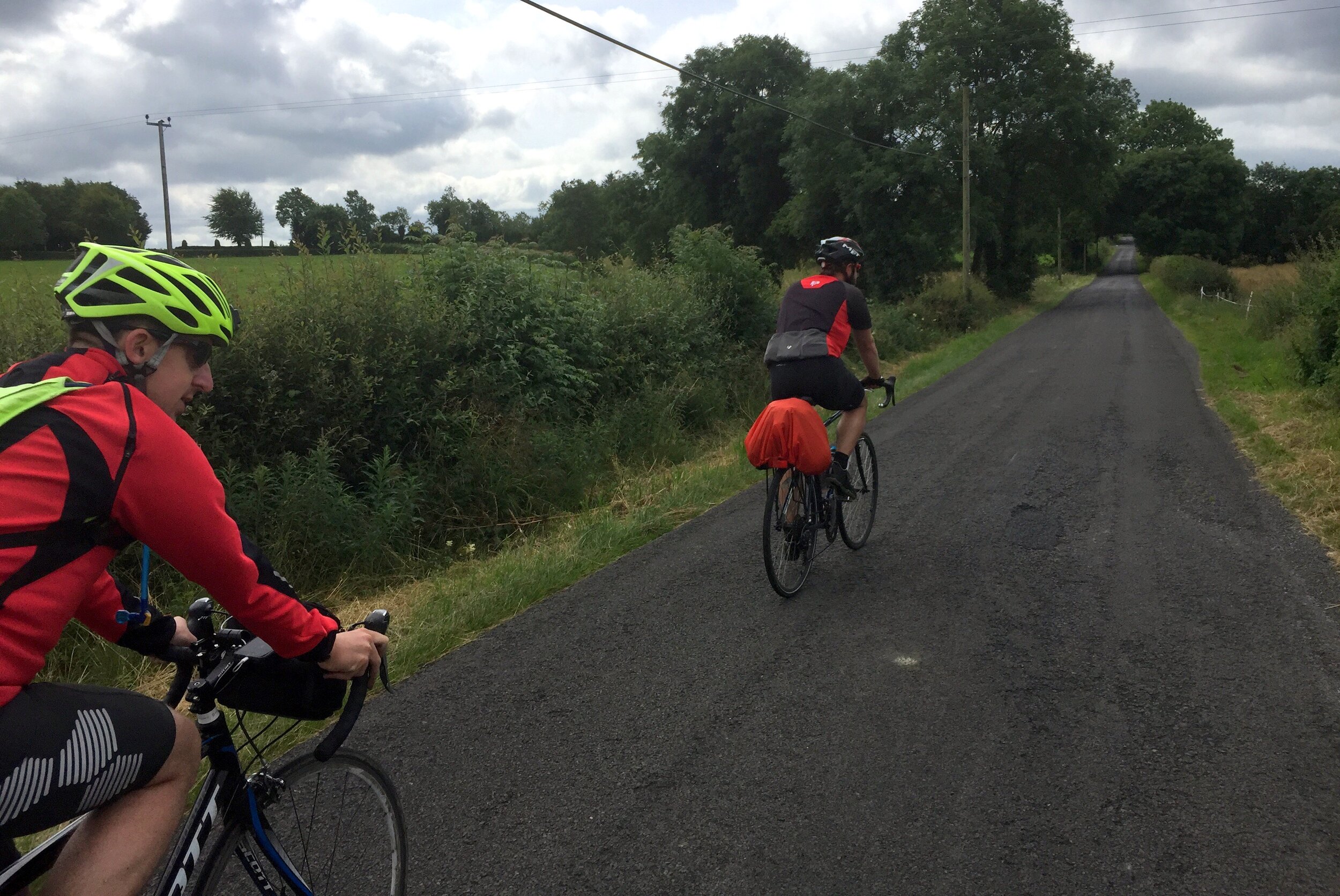
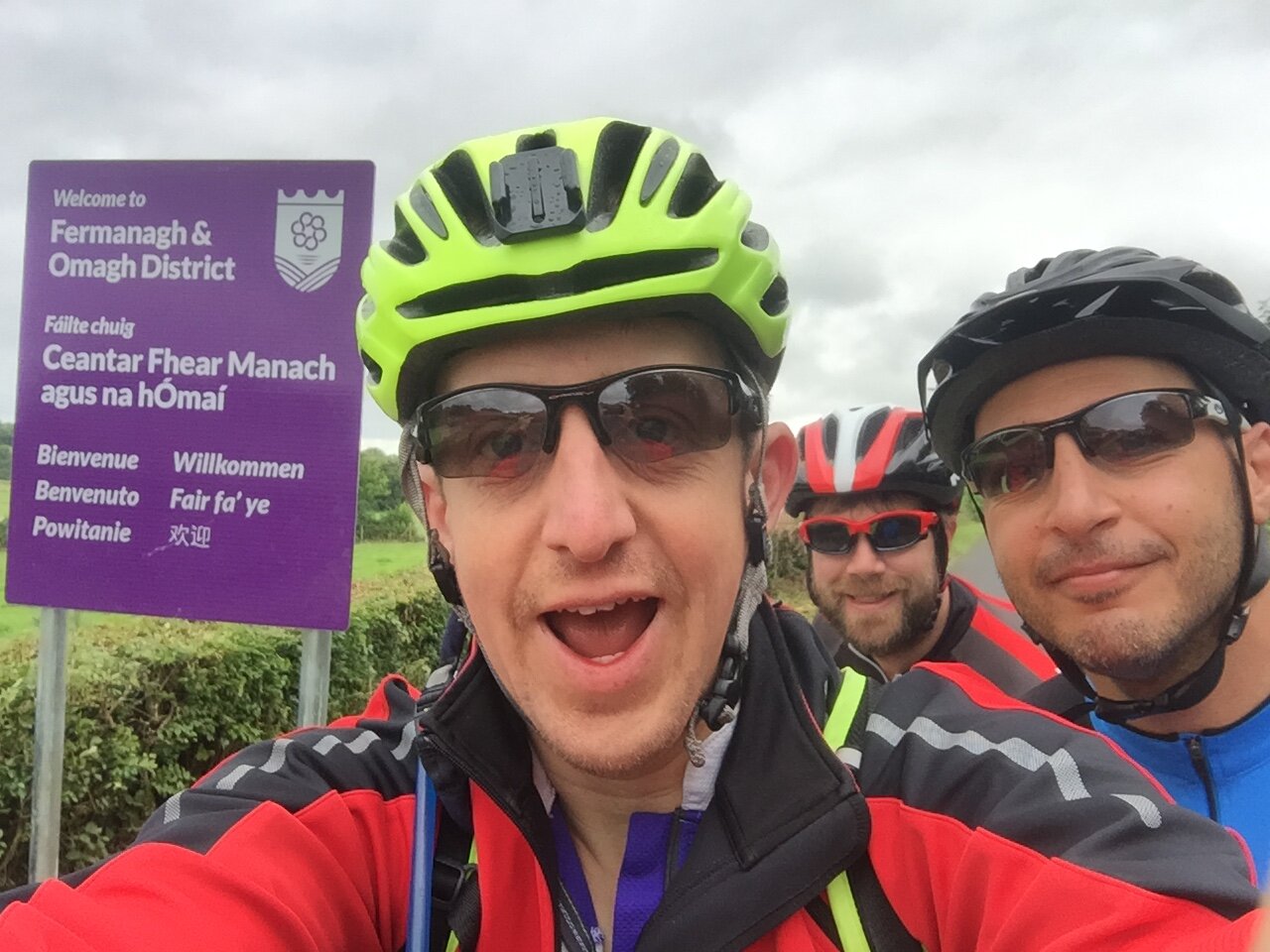
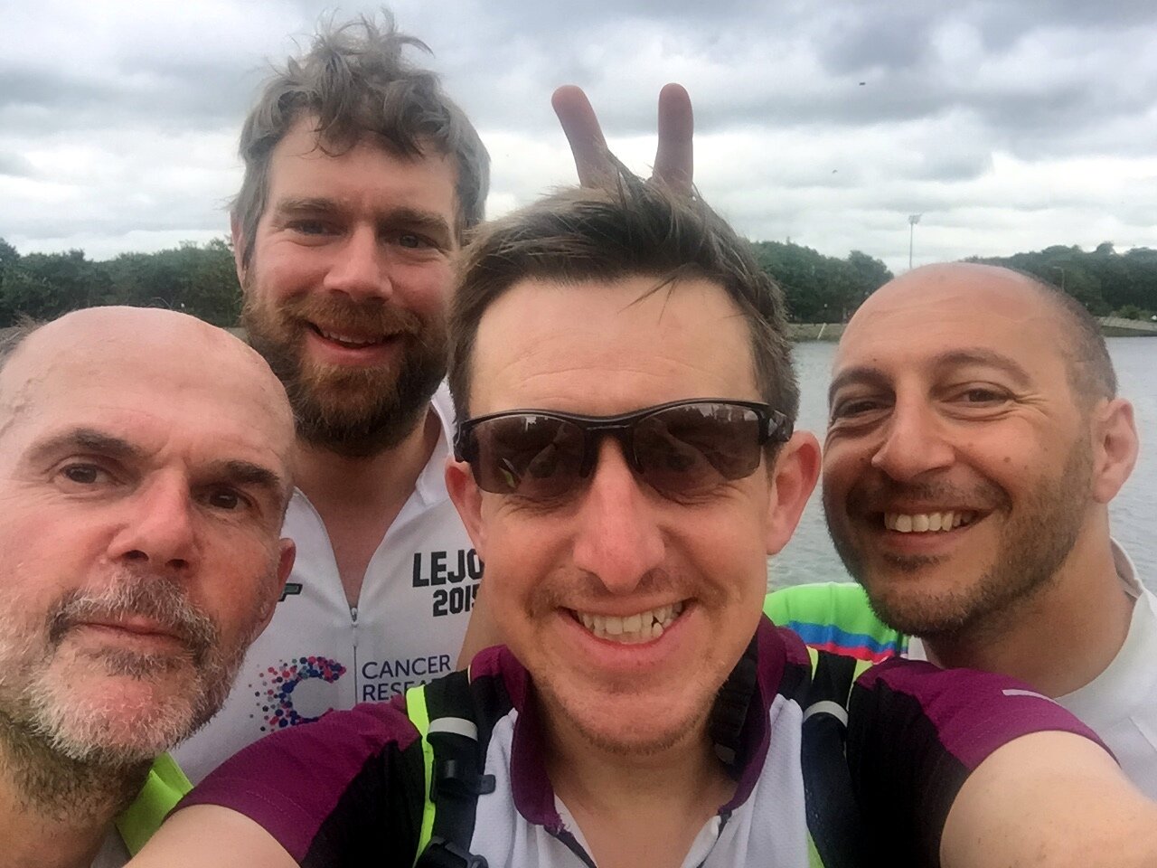
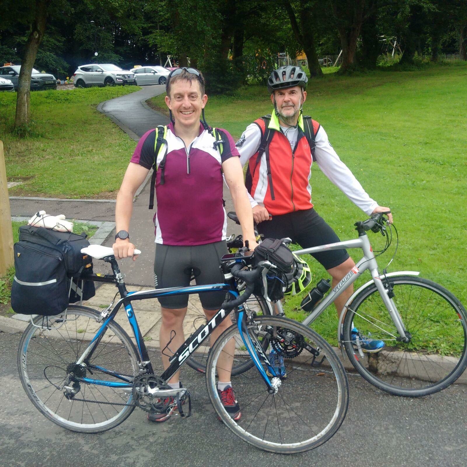
LEJOG was awesome and we needed more. It was the summer of 2016, 1 year on from our 2-week Land's End to John o'Groats cycle adventure. A new WhatsApp group had formed and discussions had started about another long distance ride.
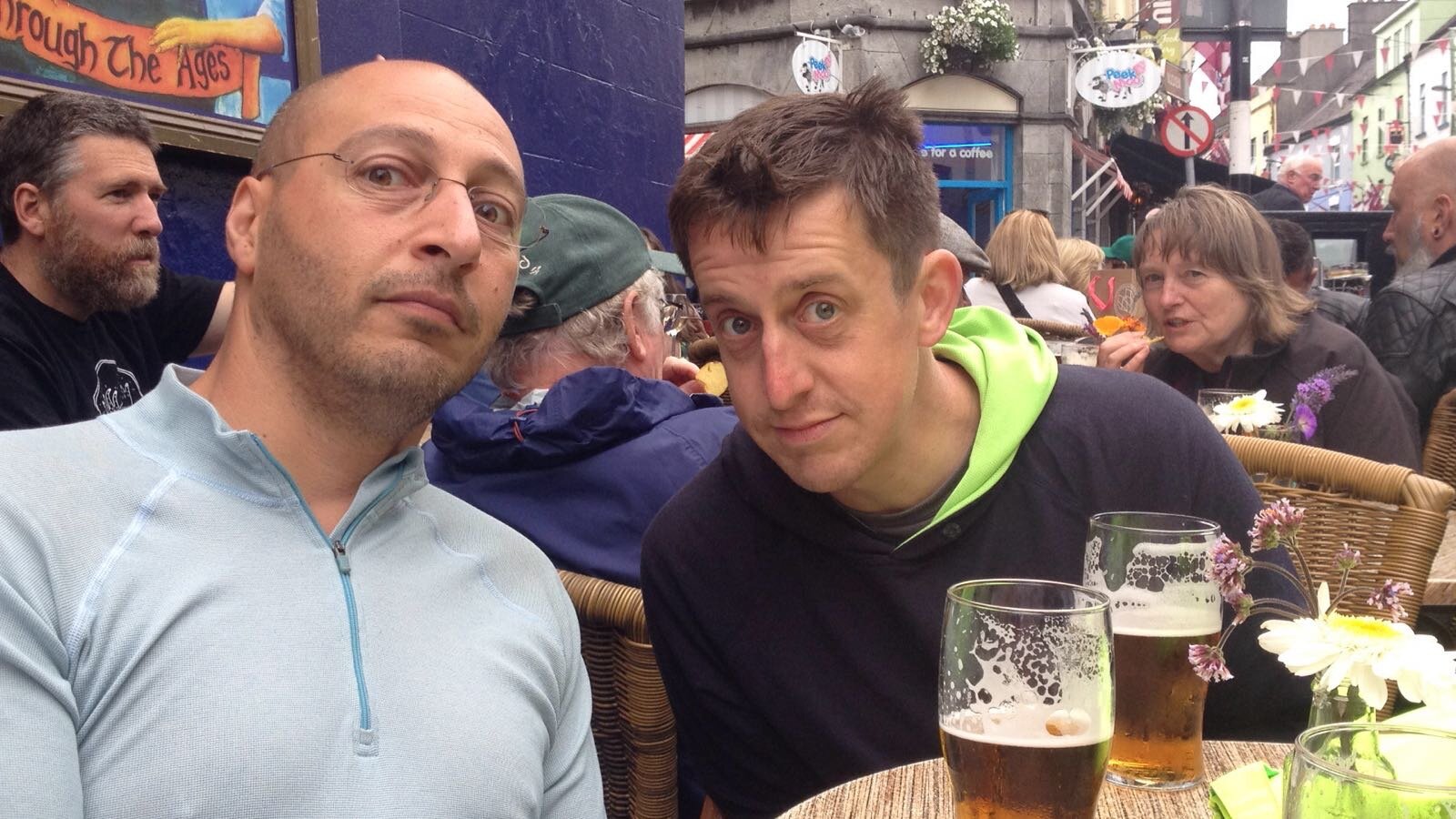
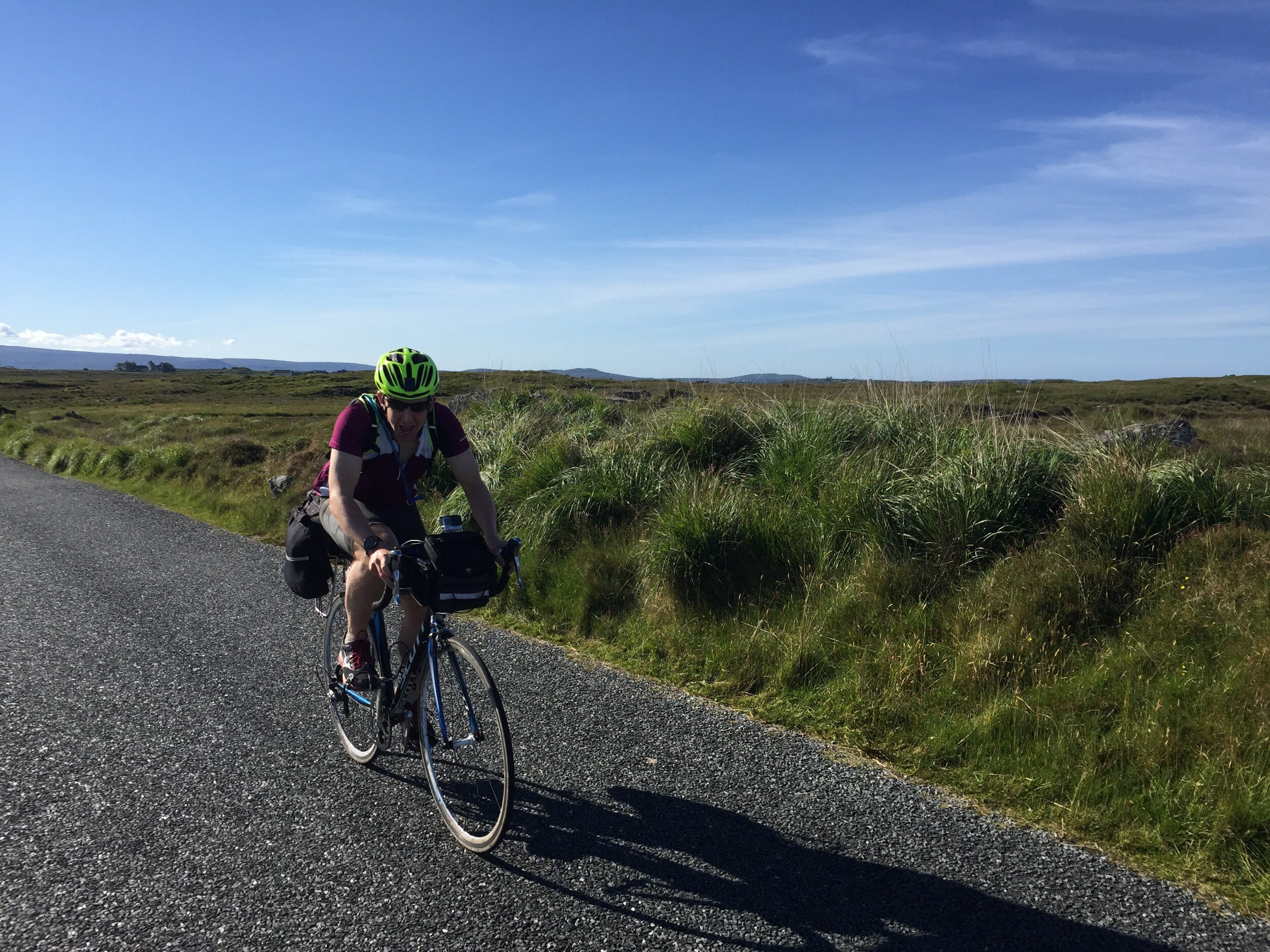
Ireland end-to-end seemed an obvious choice. After a bit of research, Mizen Head to Malin Head seemed doable in about 10 days. This was based on a similar ratio of miles-to-cake-stops. Getting there and back seemed trickier and it would add a day to each end, leaving us with another 2-weeker. Work and holiday schedules only gave us a week, so the MizMal idea was shelved.
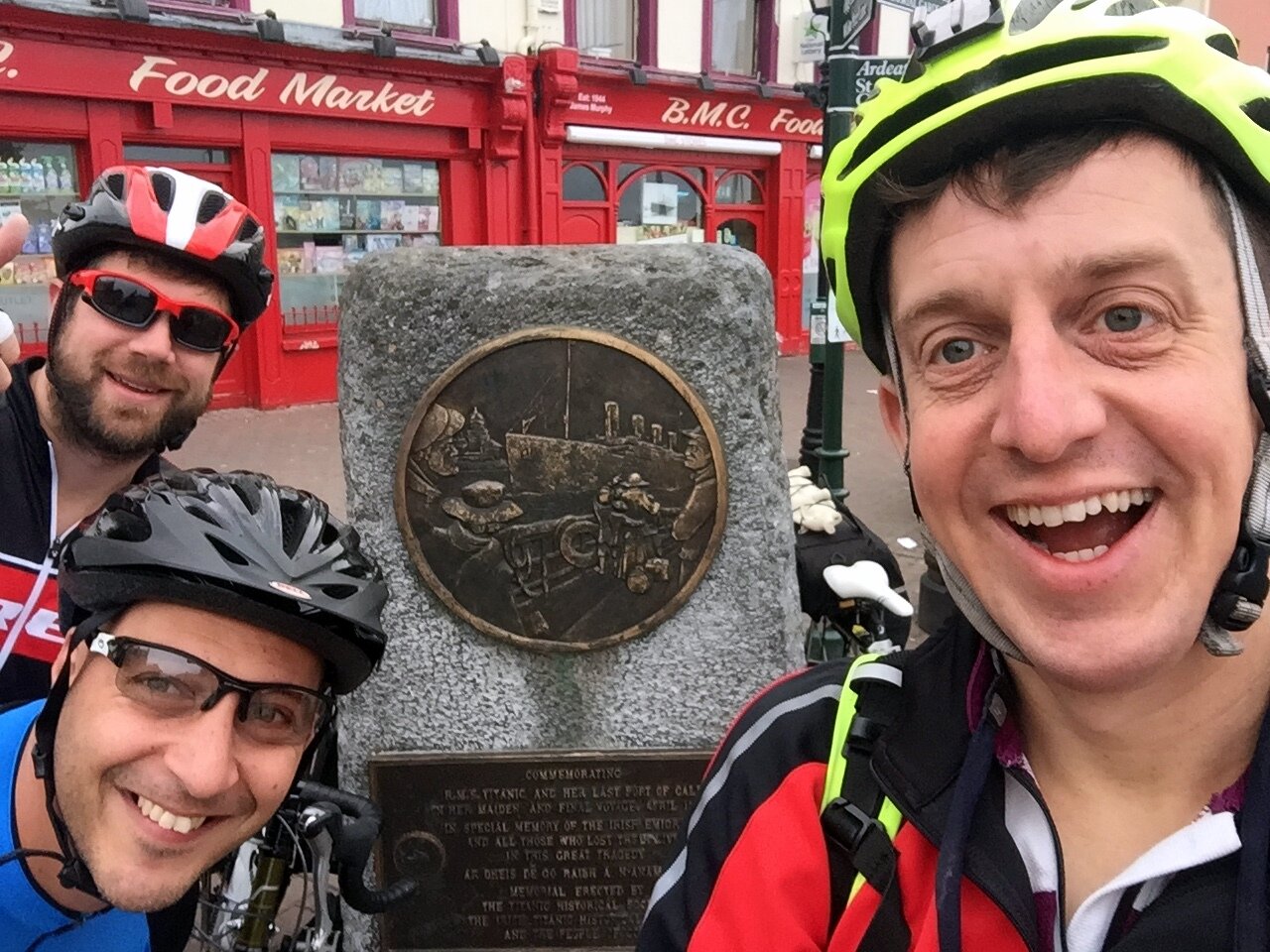
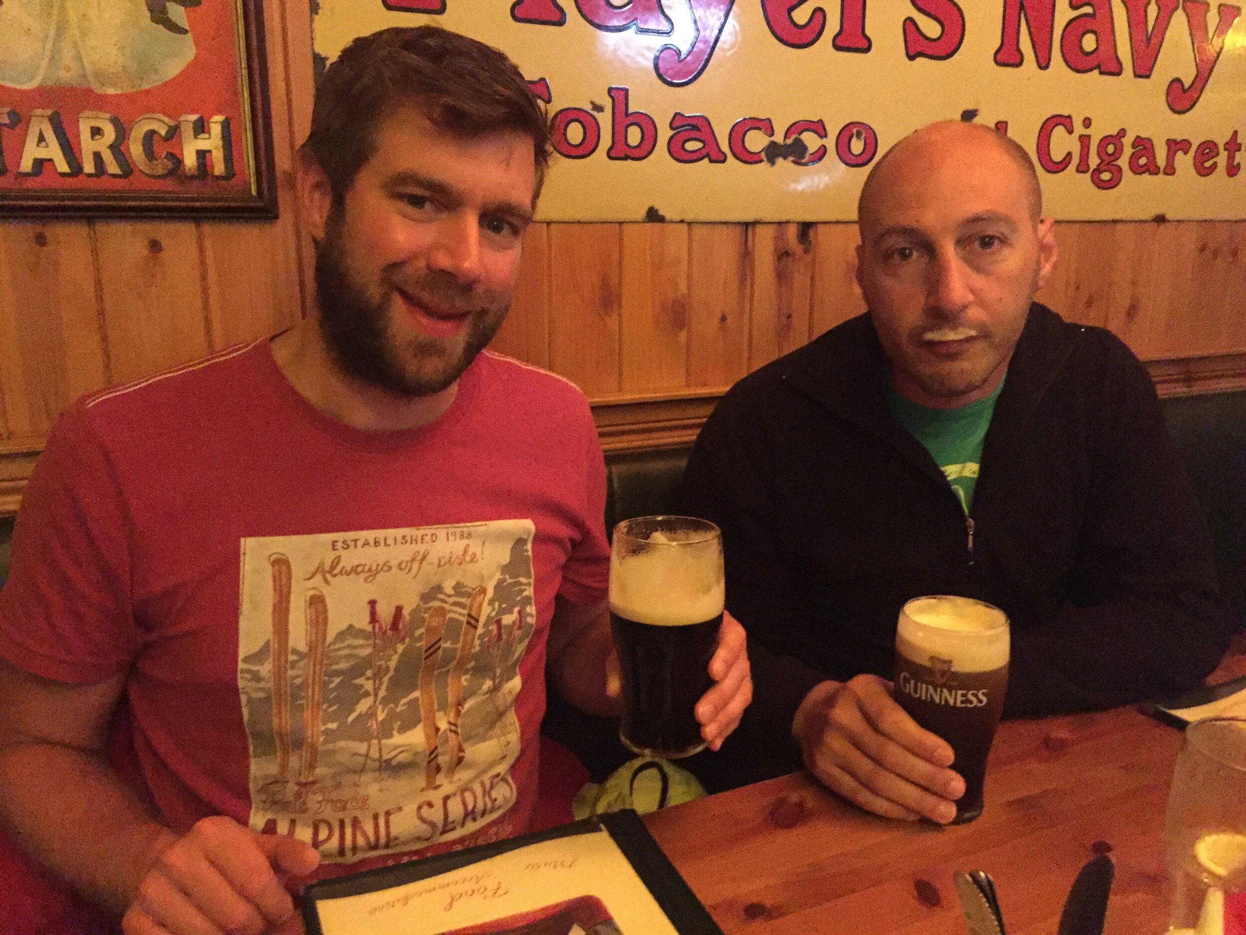
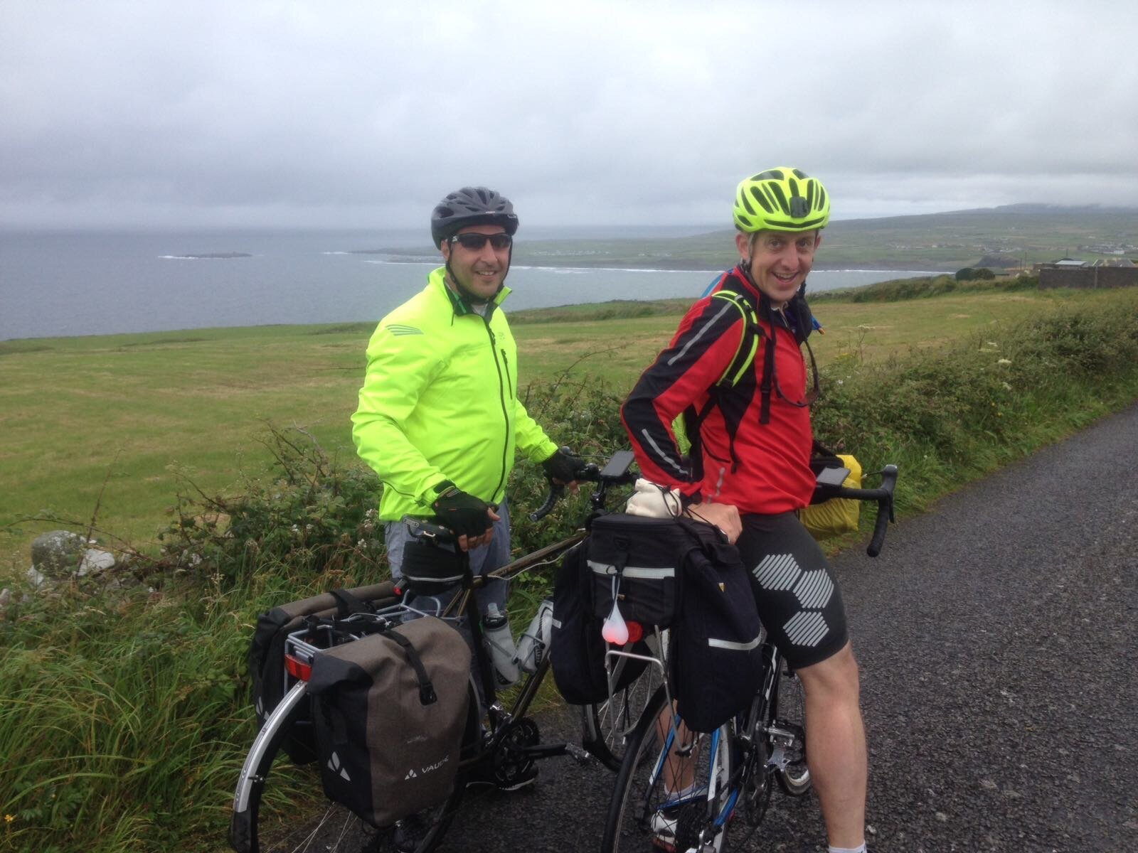
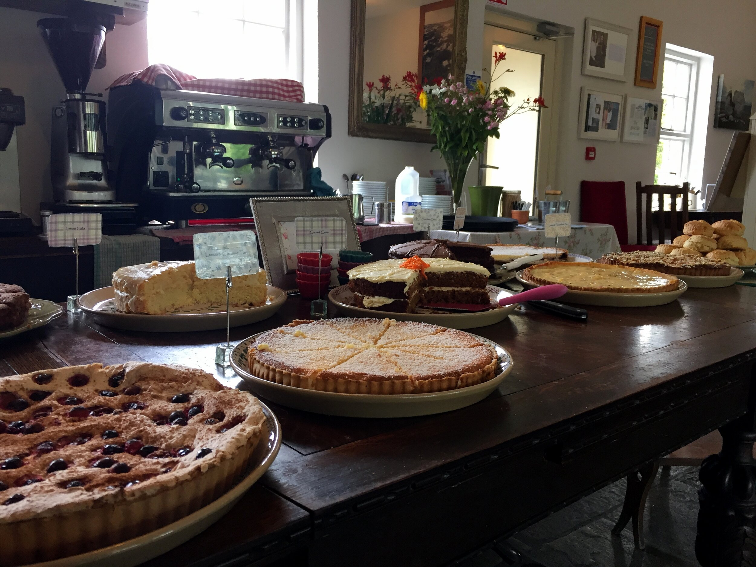
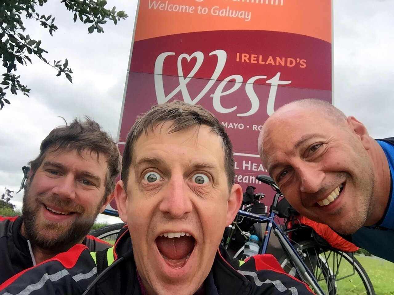
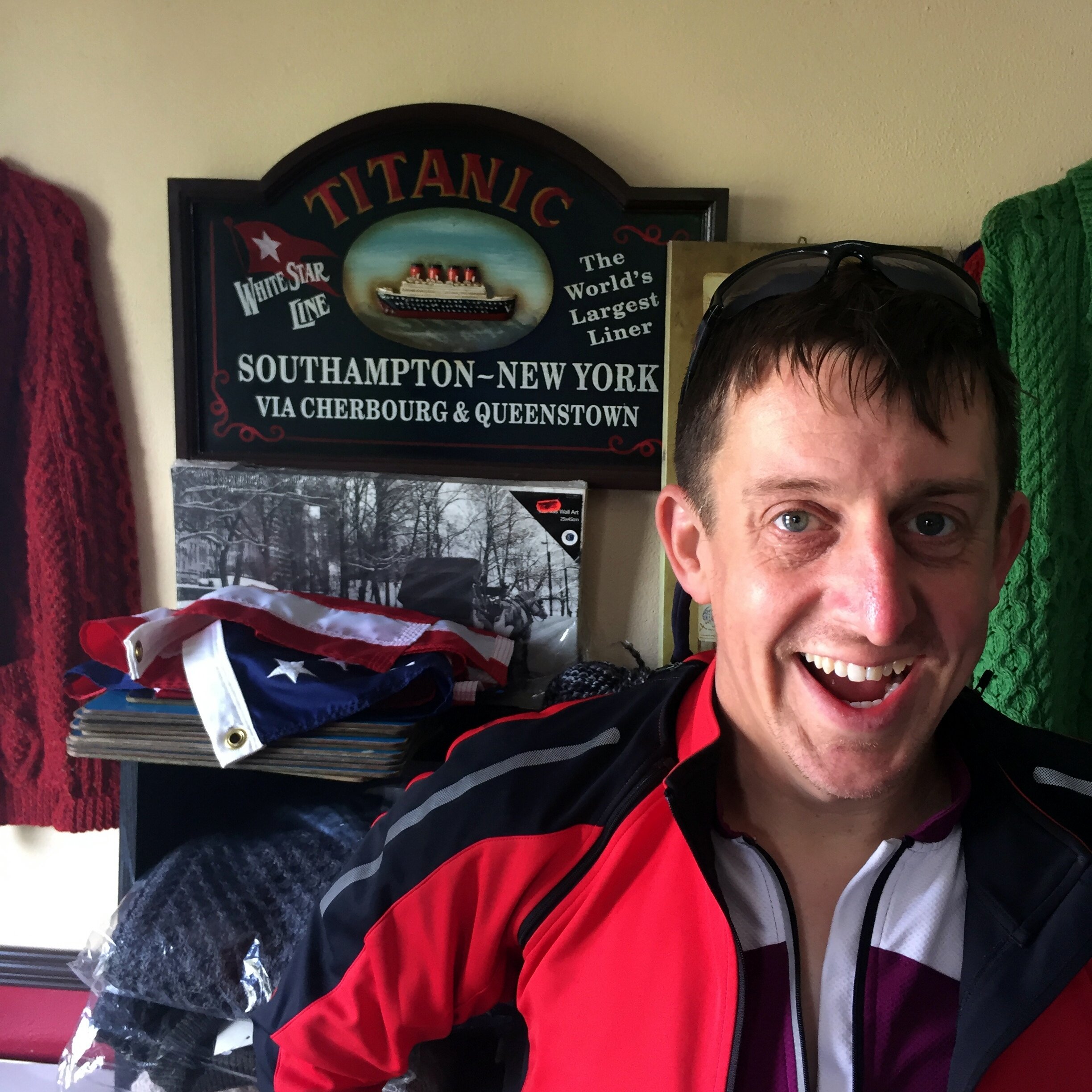
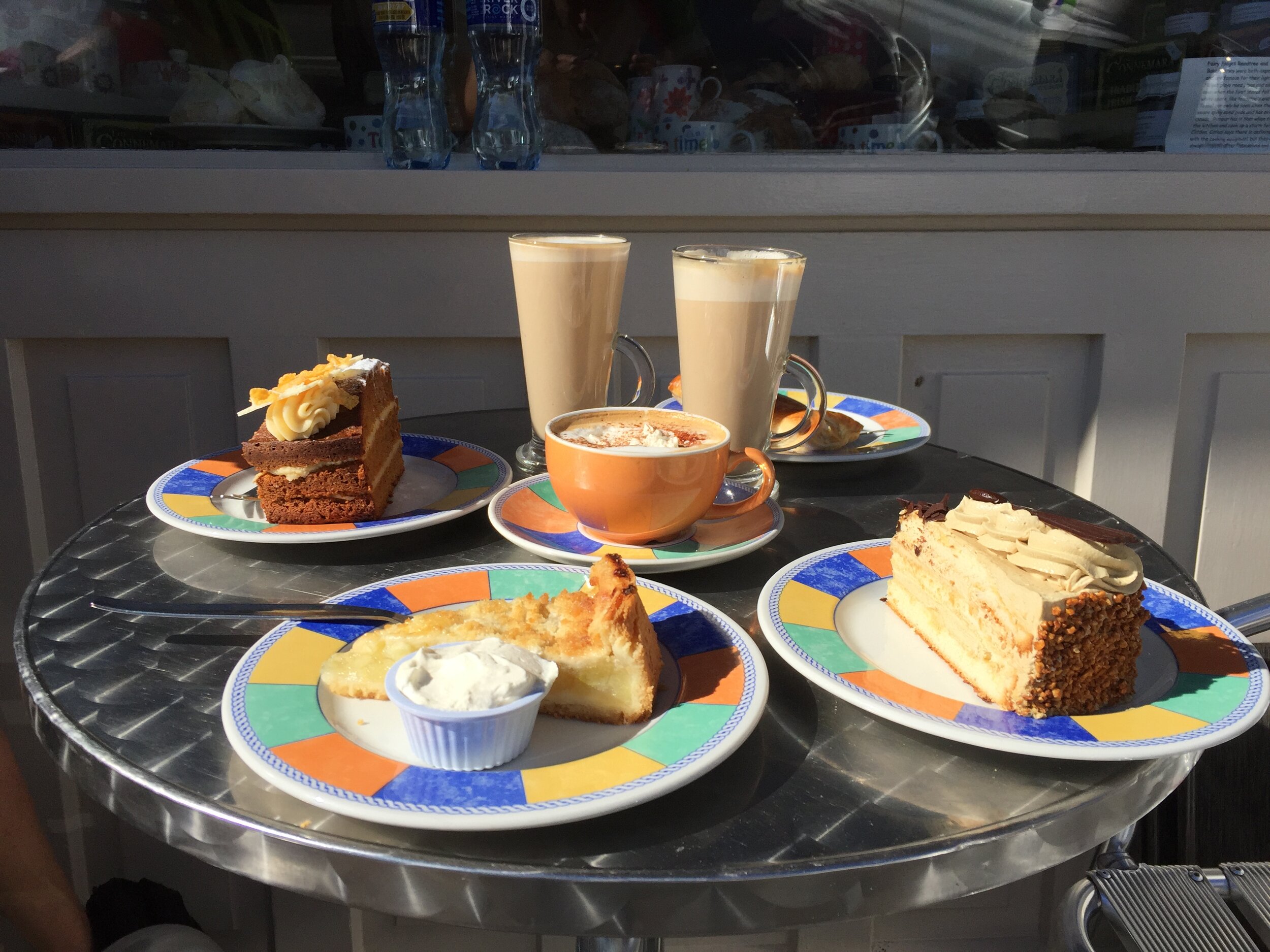
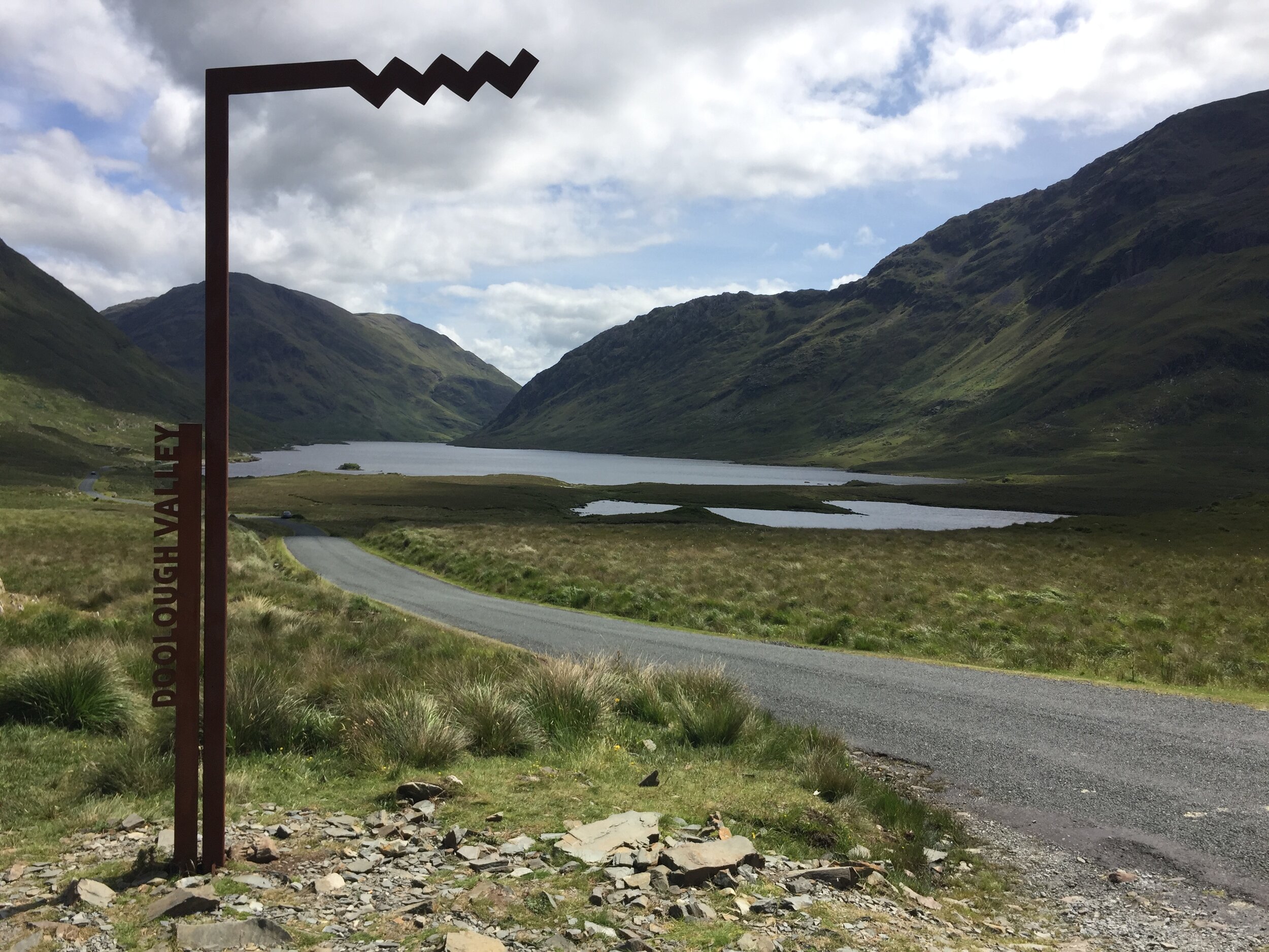
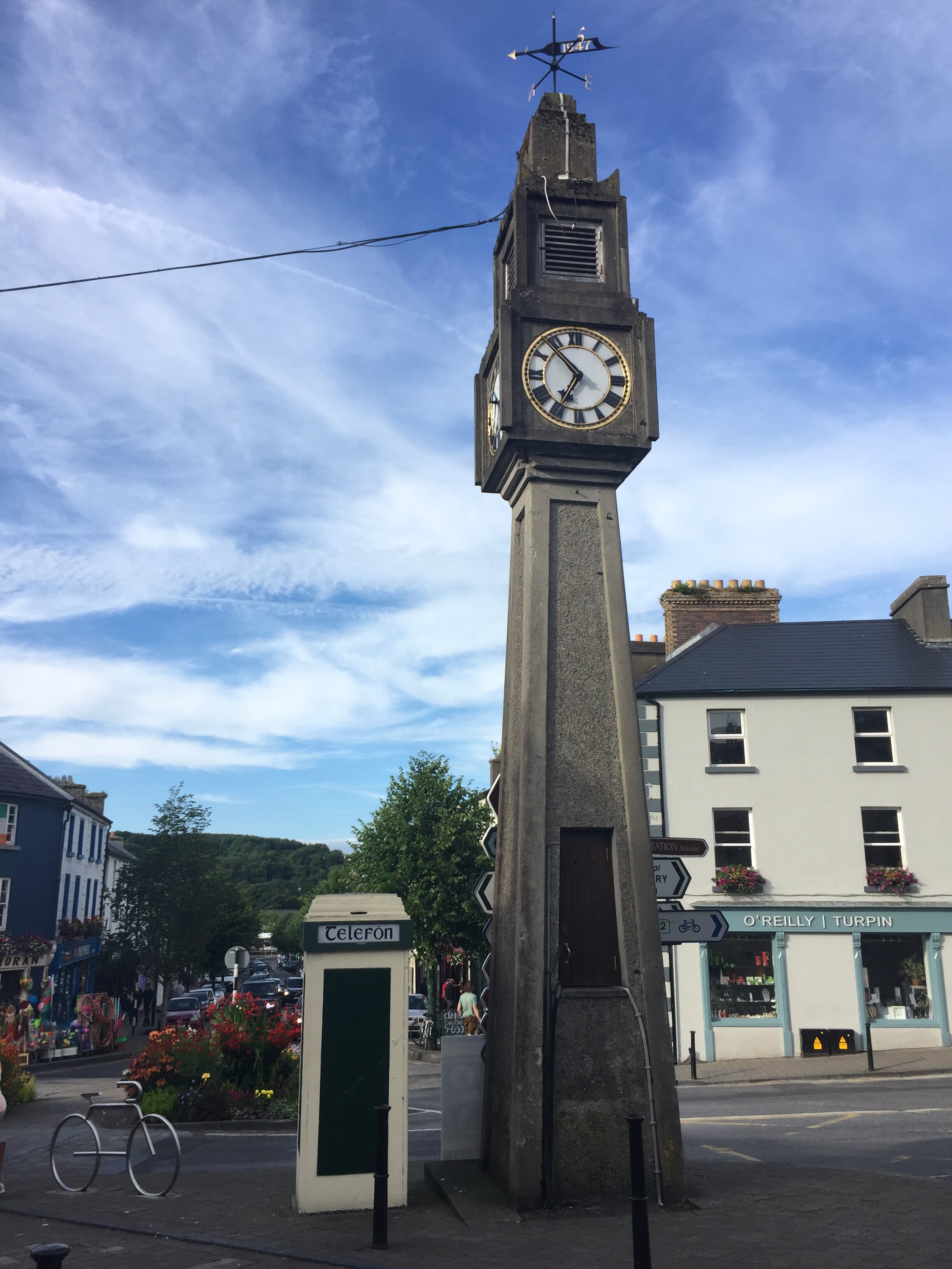
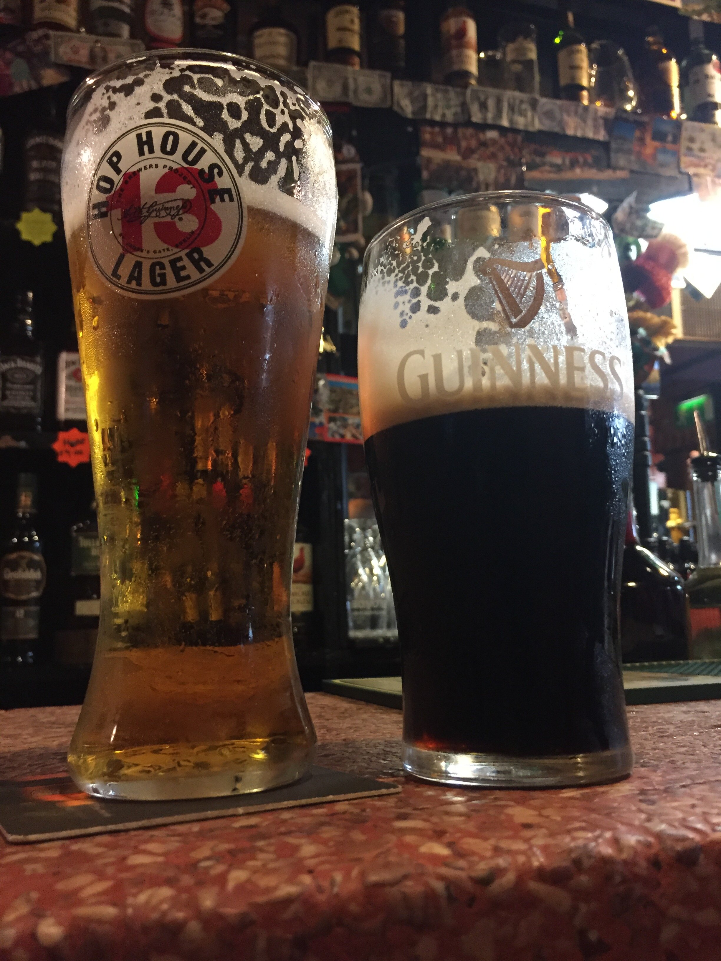
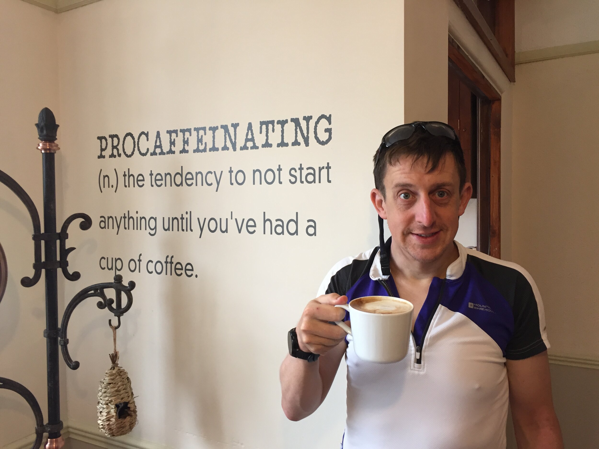
"Titanic Ireland" was the result of a bunch of random criteria made up over the following few weeks. We wanted fewer miles and more beers per day than LEJOG. We needed an airport close to each end, some Wild Atlantic Way, and a tenuous theme to link it all together. And so it was born: starting from Cobh, the last place the Titanic docked, we would take a scenic route to Belfast, where it was built. We'd average 65 miles, 4 beers and 2 cakes per day. Plantastic.
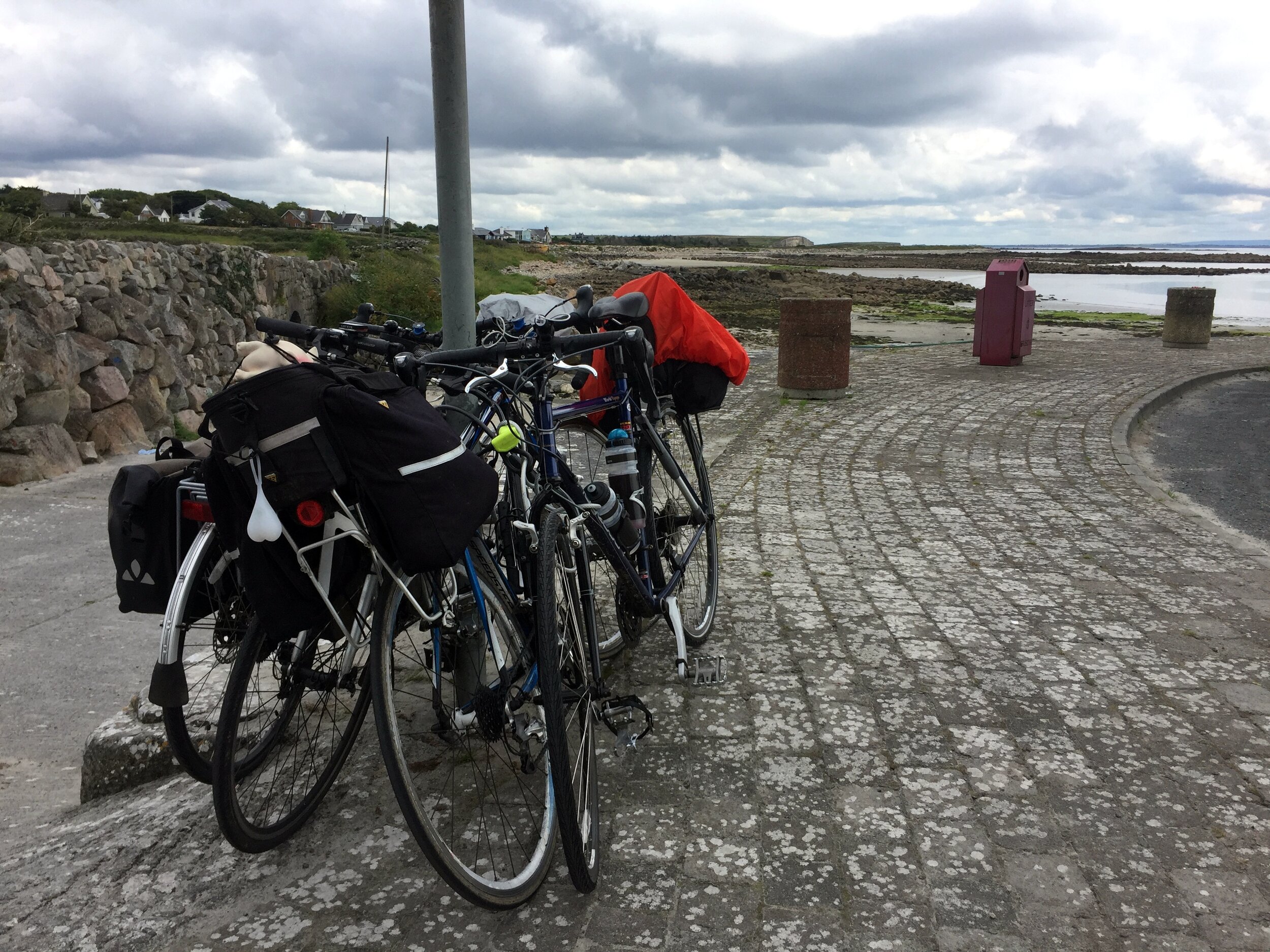
The first dilemma was how to get the bikes to the start. LEJOG was easy as we could transport them ourselves to Land's End by car or train. Although we brought them back by plane we weren’t too worried if they got bashed as we could fix them at leisure later. Flying them to the start was a lot riskier as any damage would have to get fixed immediately or jeopardise the whole trip. Neil chose to package his up and send it to a Cork bike shop a week in advance. Brian and I chose a different option of putting them in a transparent bike bag and checking them into the hold of our flight. I was sceptical but bought into the theory that if the baggage handlers could see it’s a bike, they would be more careful with it.
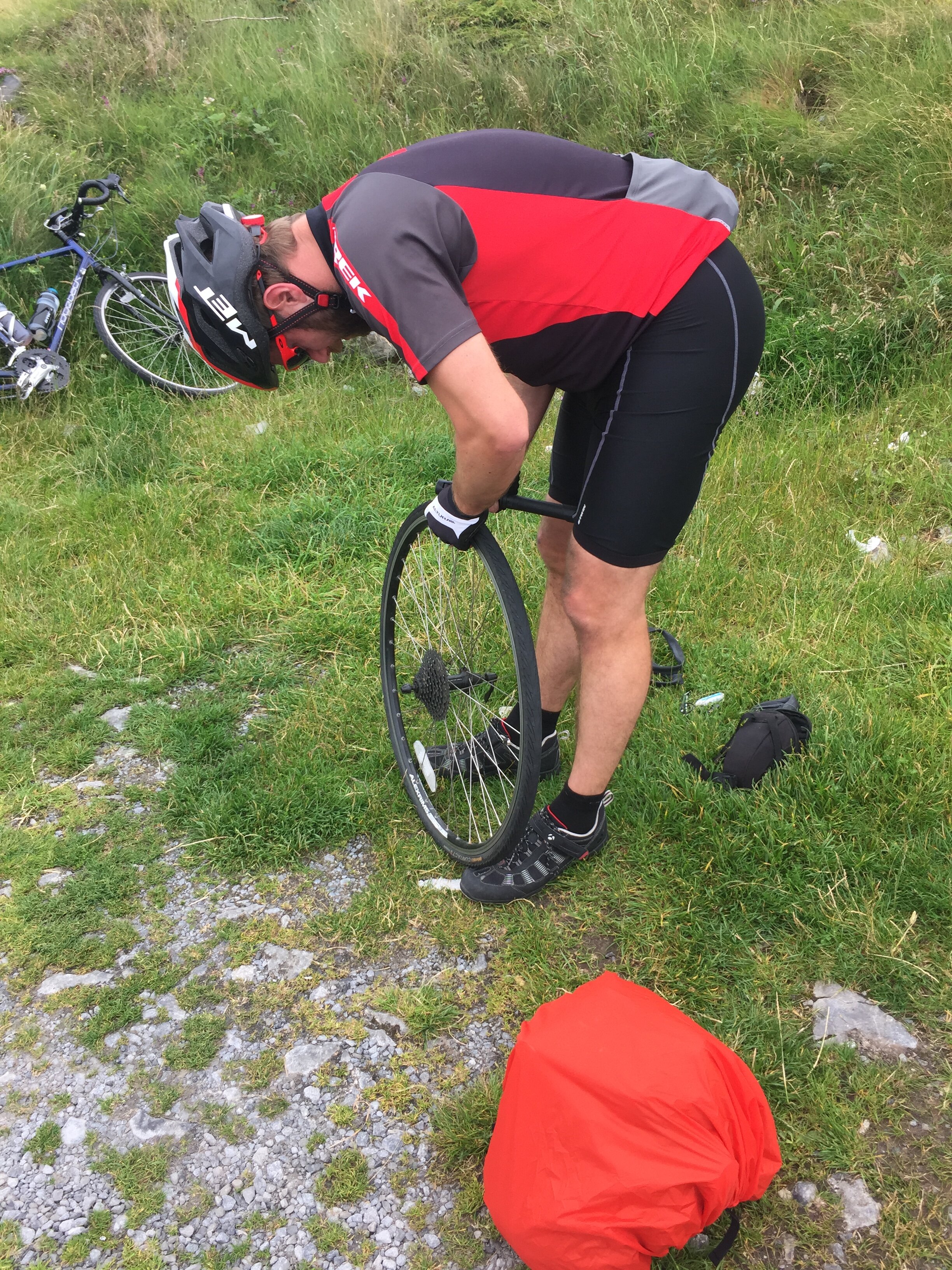
Once we arrived in Cork we were nervous to see how the bikes fared. After unpacking them and putting everything back in its place all seemed well. We set of on the 15-mile cycle from the airport to our AirBnB in Cobh. The first 3 miles was a gentle downhill and all was fine. Then on the first steep section my bike broke. It came to a sudden stop at a busy junction as the derailleur broke off and tangled itself in my rear spokes. I checked my phone for bike shops and found that the big store that Neil had posted his biked to was only half a mile away. Brian set off to warm up the service guys whilst I carried my bike plus gear on a slow, hot trek to the shop.
The derailleur bracket had completely sheared. Maybe it was knocked on the plane or maybe it was already weak, it was hard to tell. Either way, it wasn’t going to be fixed that day as it was an obscure spare that the shop didn’t carry. Not wanting to abandon the trip, I was about to lay out over a grand for a brand new touring bike before the shop found an ex-rental that they would sell me for 220 Euro. It felt like a risk as the tyres weren’t great, but I didn’t have many options so I went with it. The guys at Edge Cycles were great and set it up with my gear then arranged for my damaged old bike to be sent back home for me.
The rest of the first day was relatively smooth expect for our first and only fall as Brian came off his bike coming down the hill into Cobh. Here we met Martyn, number 3 of our 3.5 person team and settled in for a night of steak and ale at the Titanic Grill.
Day 1: Cobh to Carrig Island
Date: July 8th 2017
Start: Titanic Memorial, 1 West Beach, Kilgarvan, Cobh Co. Cork, P24 W593, Ireland
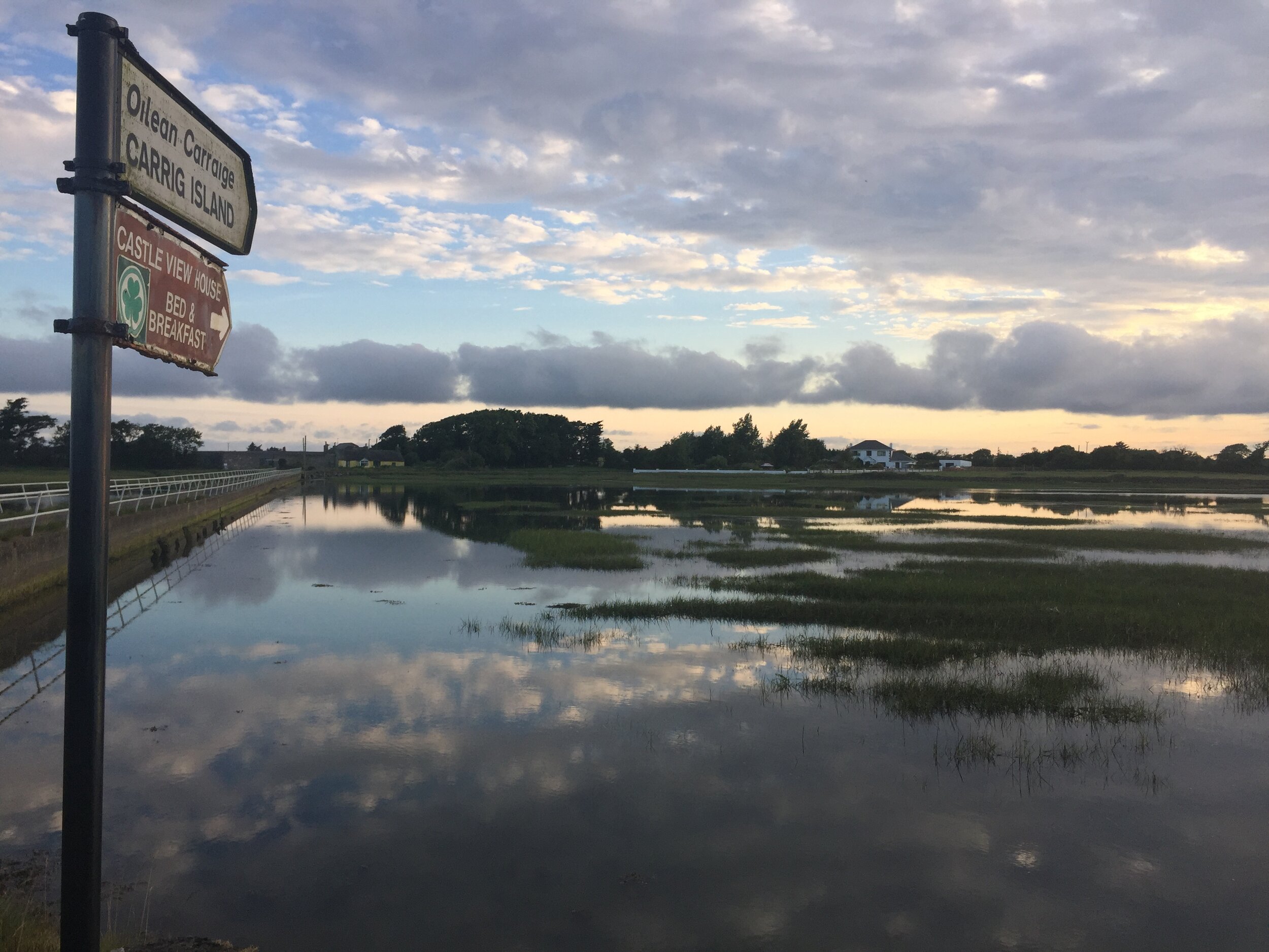
Finish: Castle View House, Carrig Island, Ballylongford, Co. Kerry
Distance: 136 km (84.5 miles)
Elevation change: +1,133m / -1,144 m. Net -11m
GPX File: get via Buy Me a Coffee
Other Routes Touched (Cycle): Wild Atlantic Way, EV1
Other Routes Touched (Walk): Old Crosshaven Railway Path, Backwater (Avondhu) Way, Ballyhoura Way
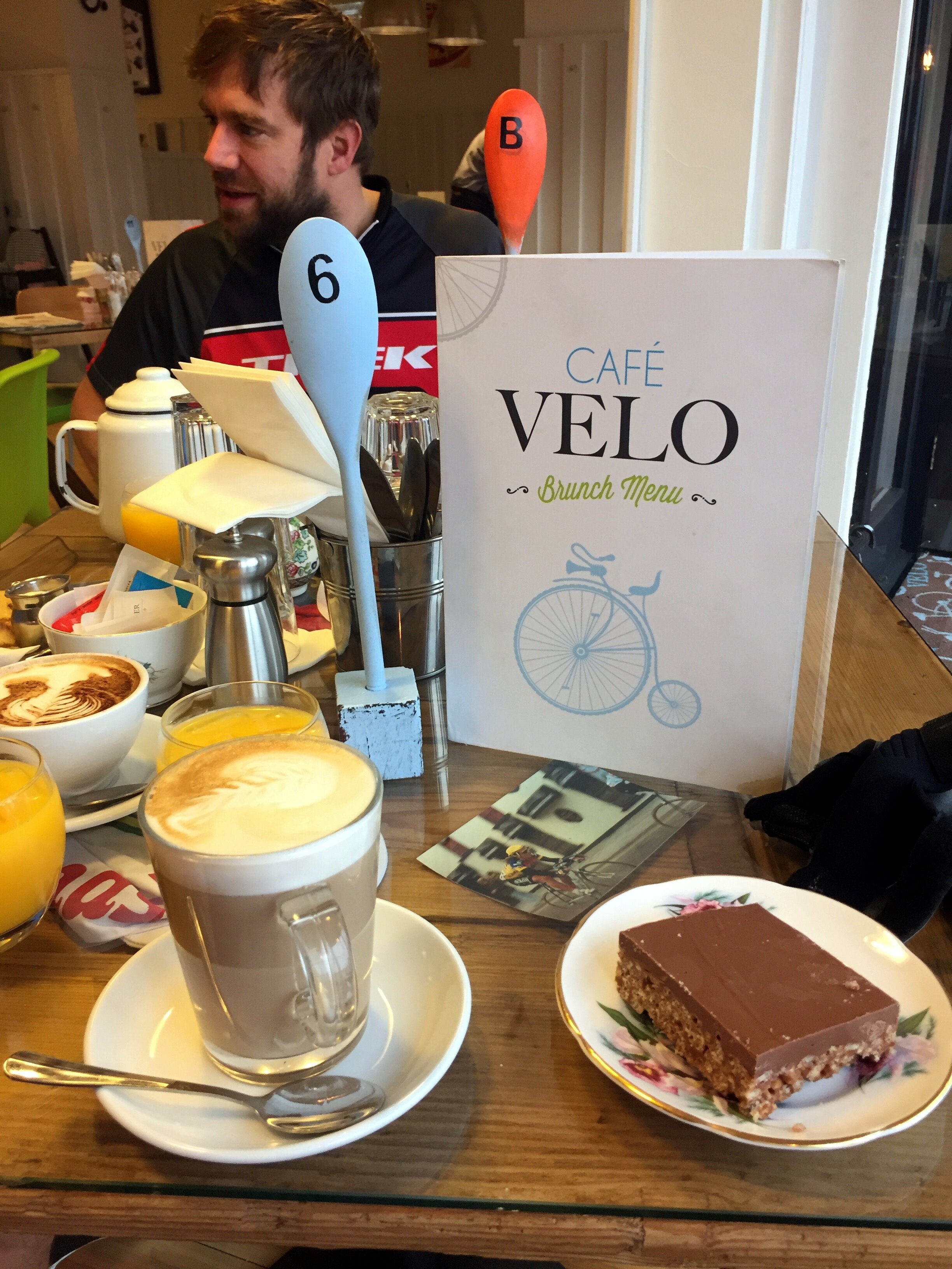
Day 1 was a Saturday and therefore it was parkrun day. Ballincollig, the nearest parkrun to Cork was a 15-mile diversion. The boys knew better than to talk me out of it, but it didn’t mean they were going to come along too. So, at Cork we shared our first breakfast at the Velo cafe and took separate paths. Brian and Martyn continued along the planned route and I would catch them 50 miles later.
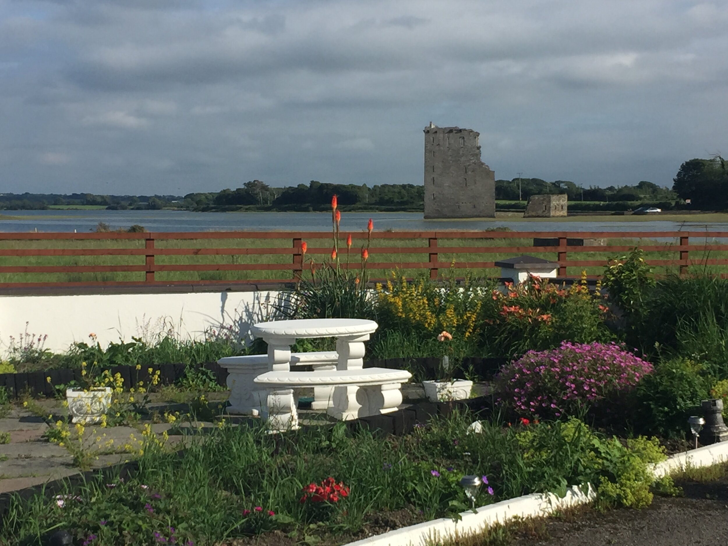
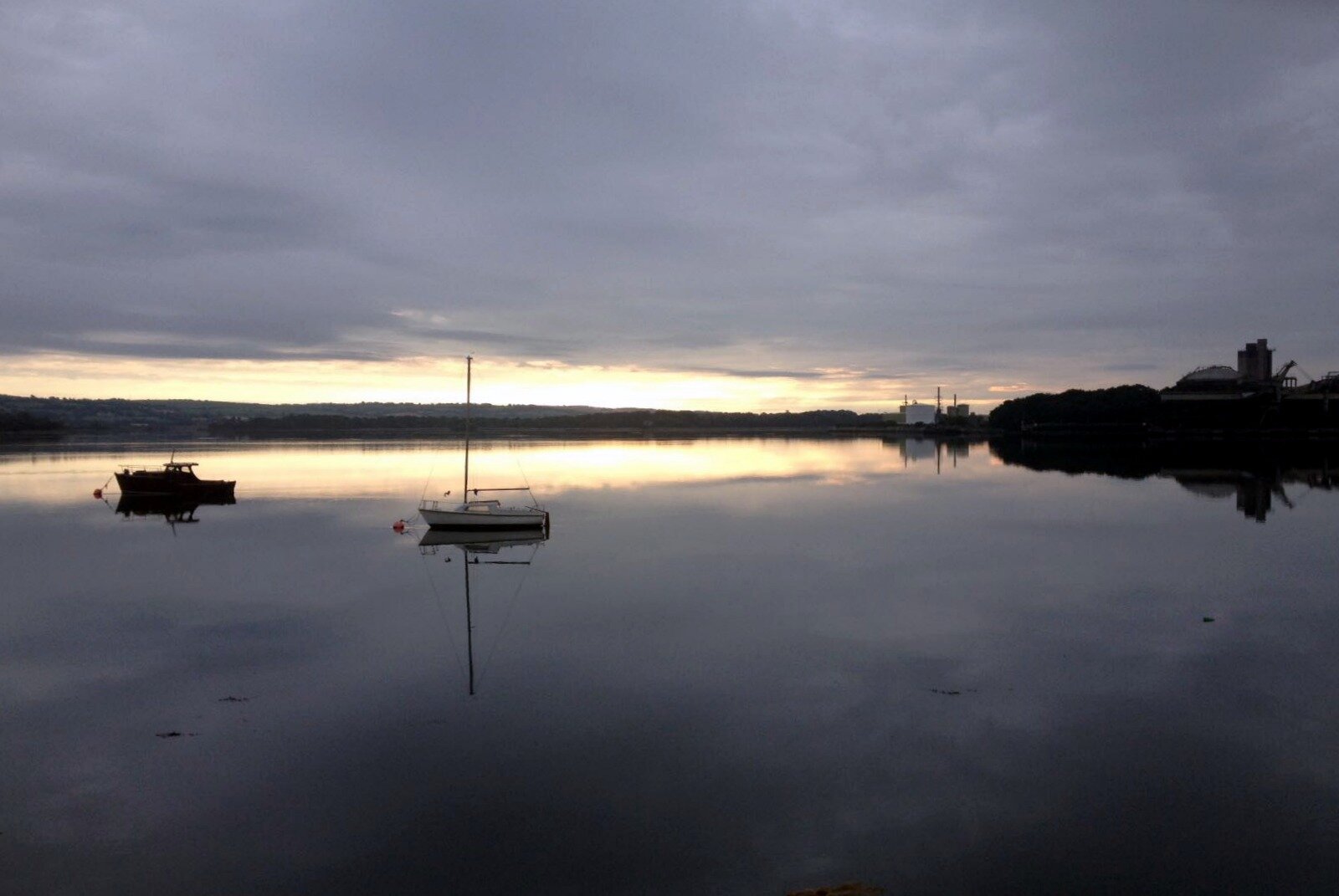
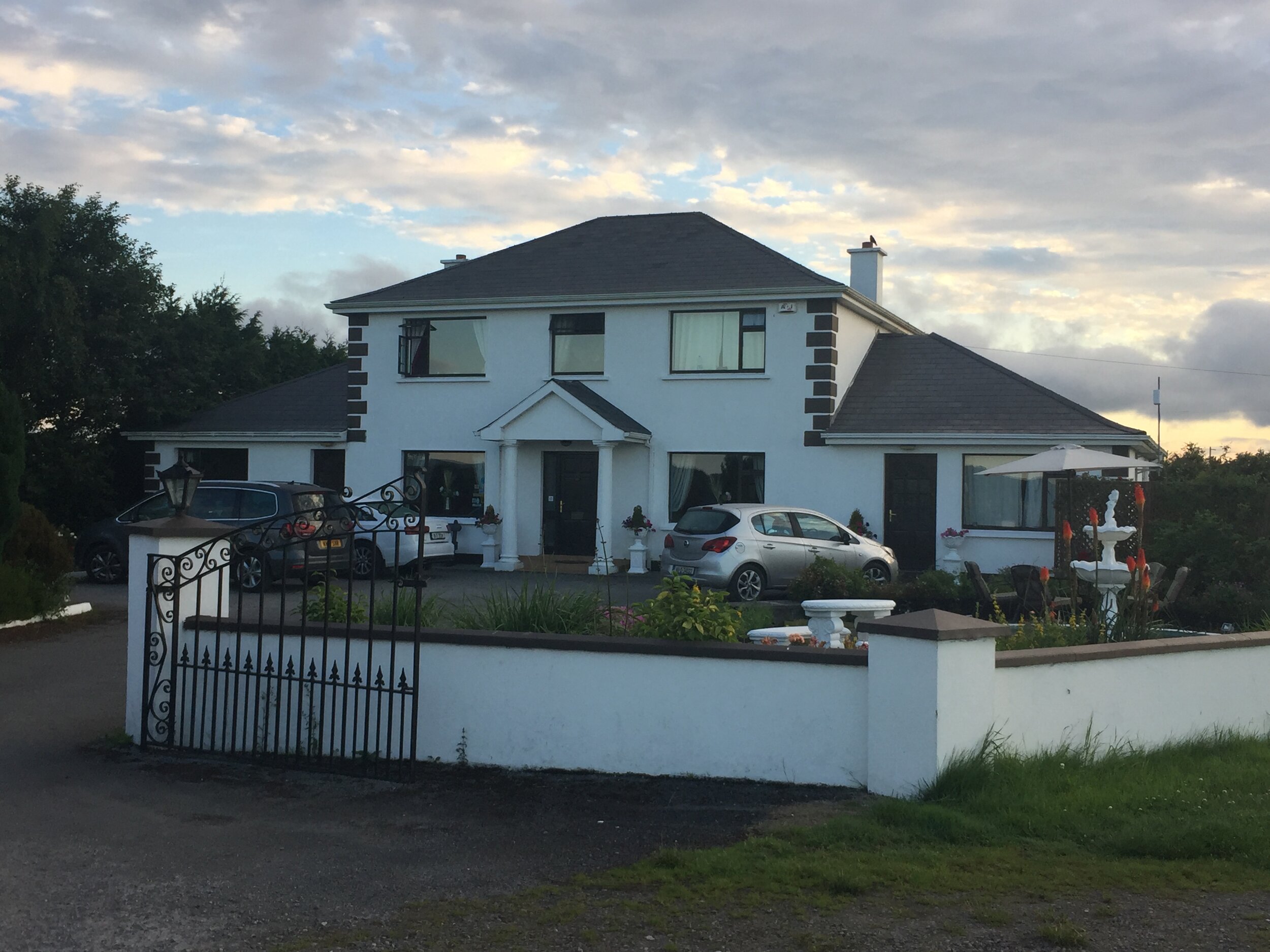
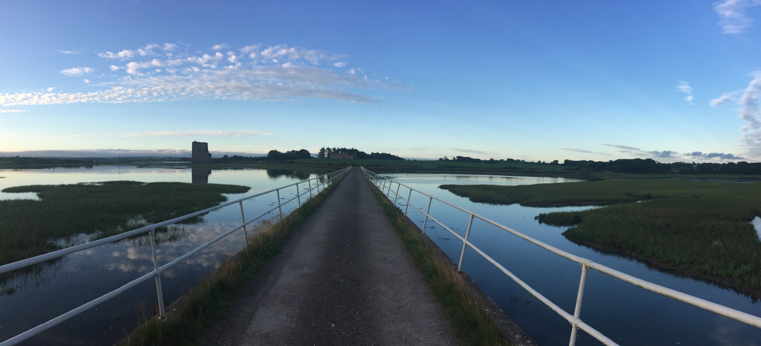
By the end of Day 1 we all arrived together in a lovely B&B on Carrig Island. This was our longest cycling day of the trip, but necessary to get us on to the Wild Atlantic Way as soon as possible
Day 2: Carrig Island to Doolin
Date: July 9th 2017
Start: Castle View House, Carrig Island, Ballylongford, Co. Kerry
Finish: Toomullin, Doolin, Co. Clare
Distance: 103 km (64 miles)
Elevation change: +805m / -777m. Net +28m
GPX Fil get via Buy Me a Coffee
Other Routes Touched (Cycle): Wild Atlantic Way, EV1
Other Routes Touched (Walk): The Burren Way (Sli na Boirne)
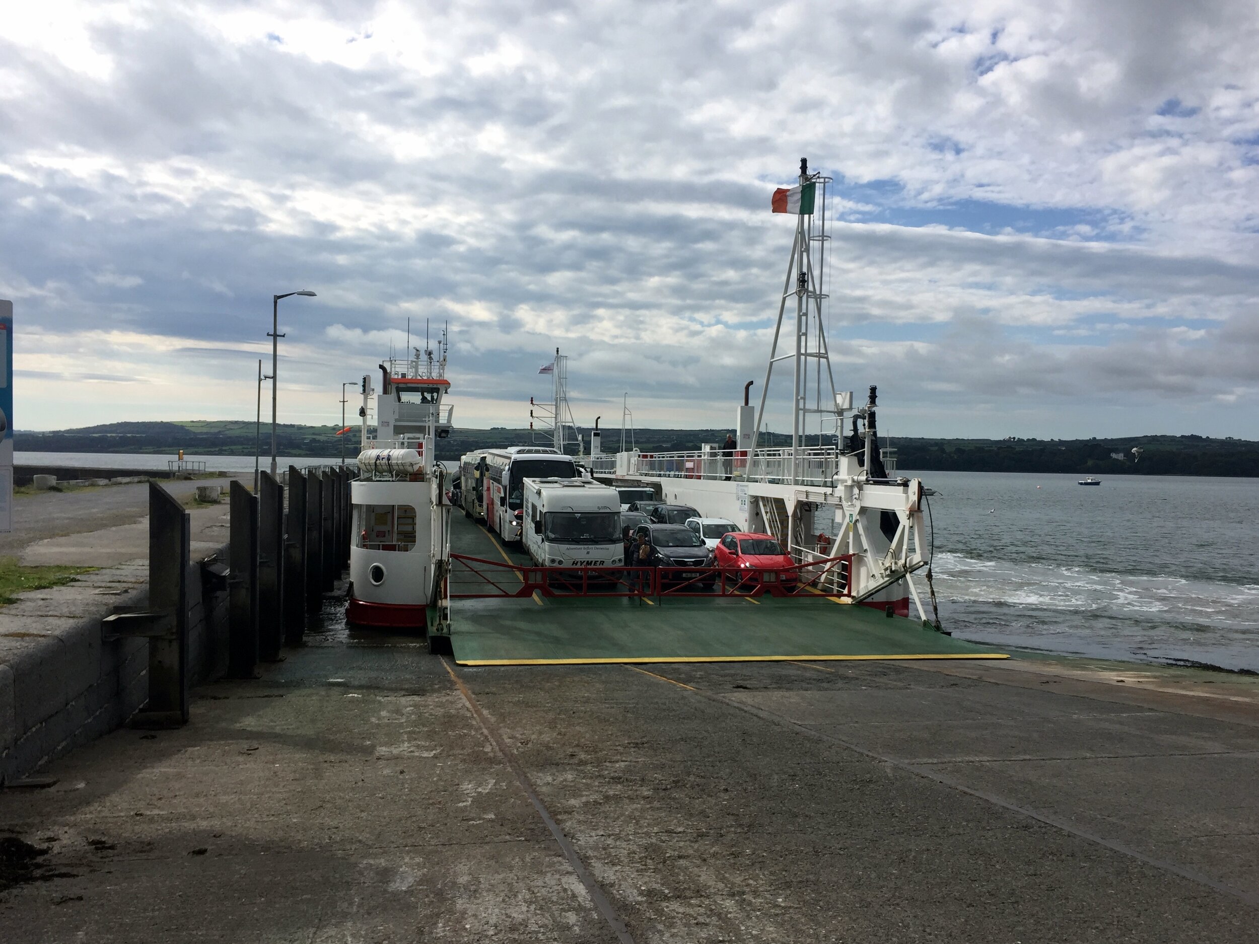
Day 2 started with a 10-mile cycle to the Tarbet ferry. We were keen to get the first ferry at 08:30 so we were on a mission to get breakfast sorted, get geared up and get to the port. After the traditional faffing around we were cutting it fine so we only arrived with 2 minutes to spare.
5 minutes later it seemed odd that no one was around, let alone a ferry to pick us up. I’d checked the timetable online the night before so I was pretty confident I’d got it right. A car came, a man got out and checked the sailing times on the board then went away again. Hmmm ... maybe I’d better check the board too. Yes, definitely 08:30 .... ah ... except Sundays. We had another hour to wait. The boys were not amused.
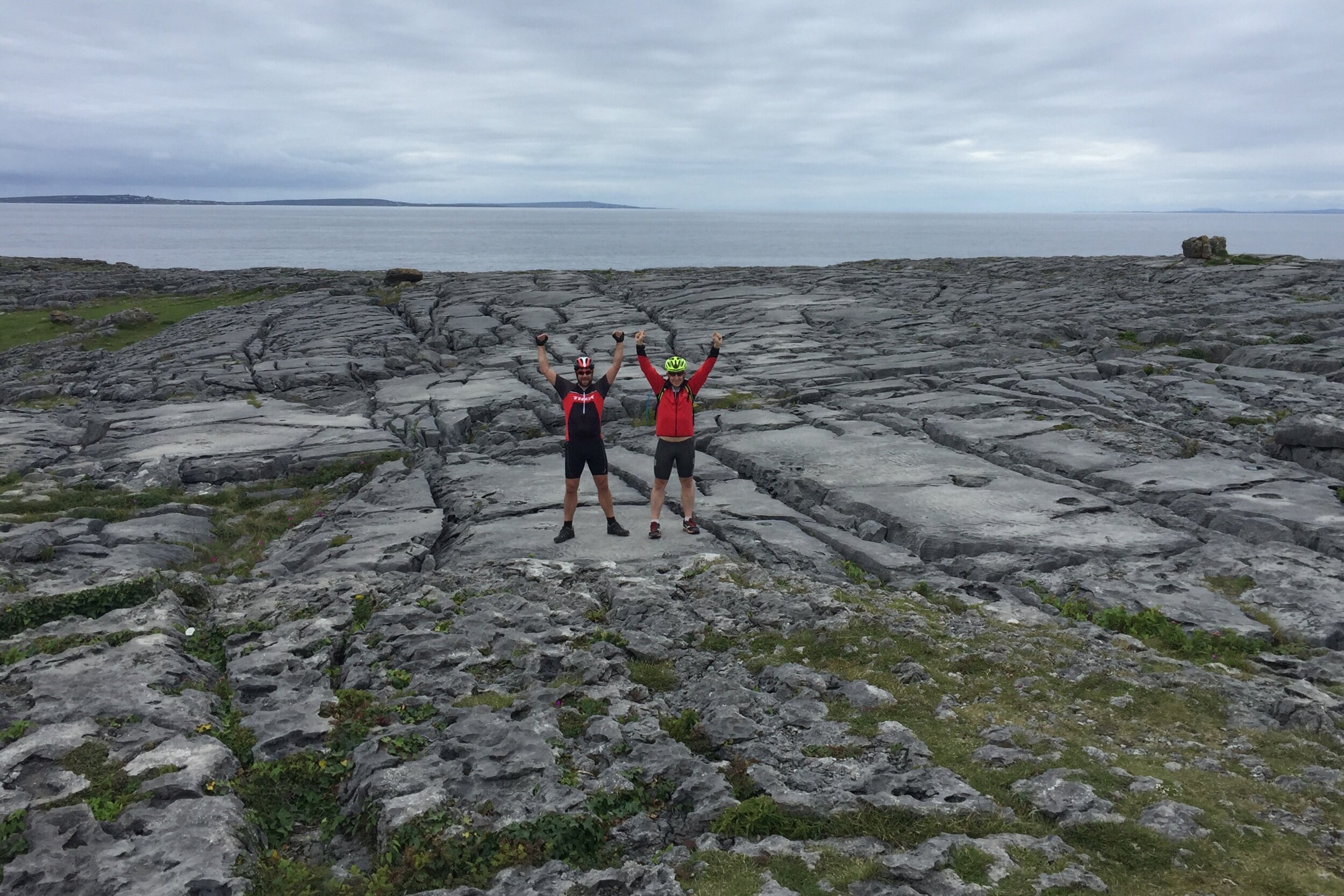
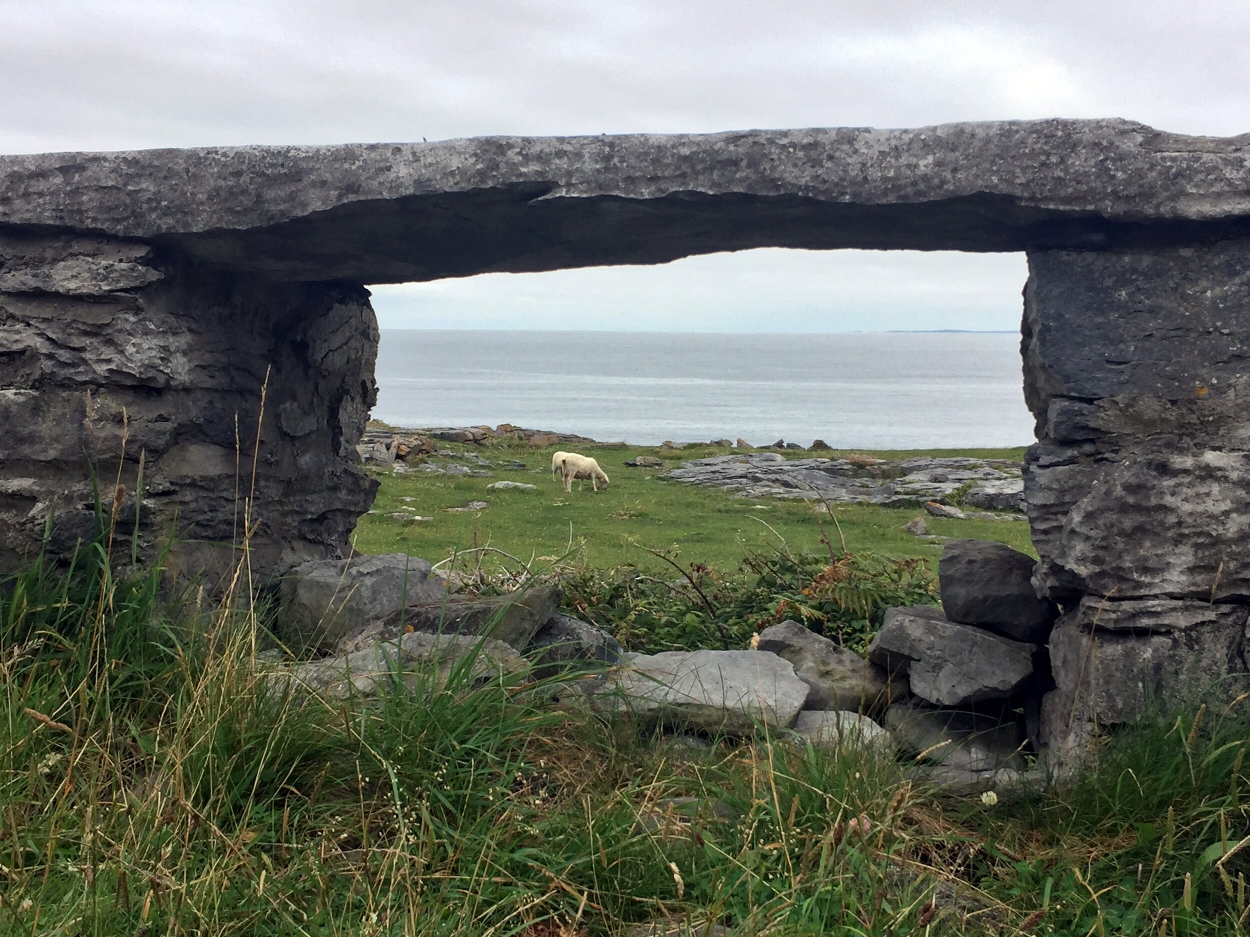
The rest of the day was pleasant an uneventful. The Wild Atlantic Way lived up to its name not only with its dramatic, rugged coastline but also with lashing wind and rain. After hiding in a pub at Spanish Point for an hour we braved the slog up the road past the Cliffs of Moher. It was tempting to stop there as it was an unticked UNESCO site, but the prospect of a warm B&B and an evening in the pub was more enticing.
Day 3: Doolin to Galway
Date: July 10th 2017
Start: Toomullin, Doolin, Co. Clare
Finish: Galway Docks, 22-26 Bóthar Na nDuganna, Galway
Distance: 76 km (47 miles)
Elevation change: +531m / -551m. Net -20m
GPX File: get via Buy Me a Coffee
Other Routes Touched (Cycle): Wild Atlantic Way, EV1
Other Routes Touched (Walk): The Burren Way (Sli na Boirne)
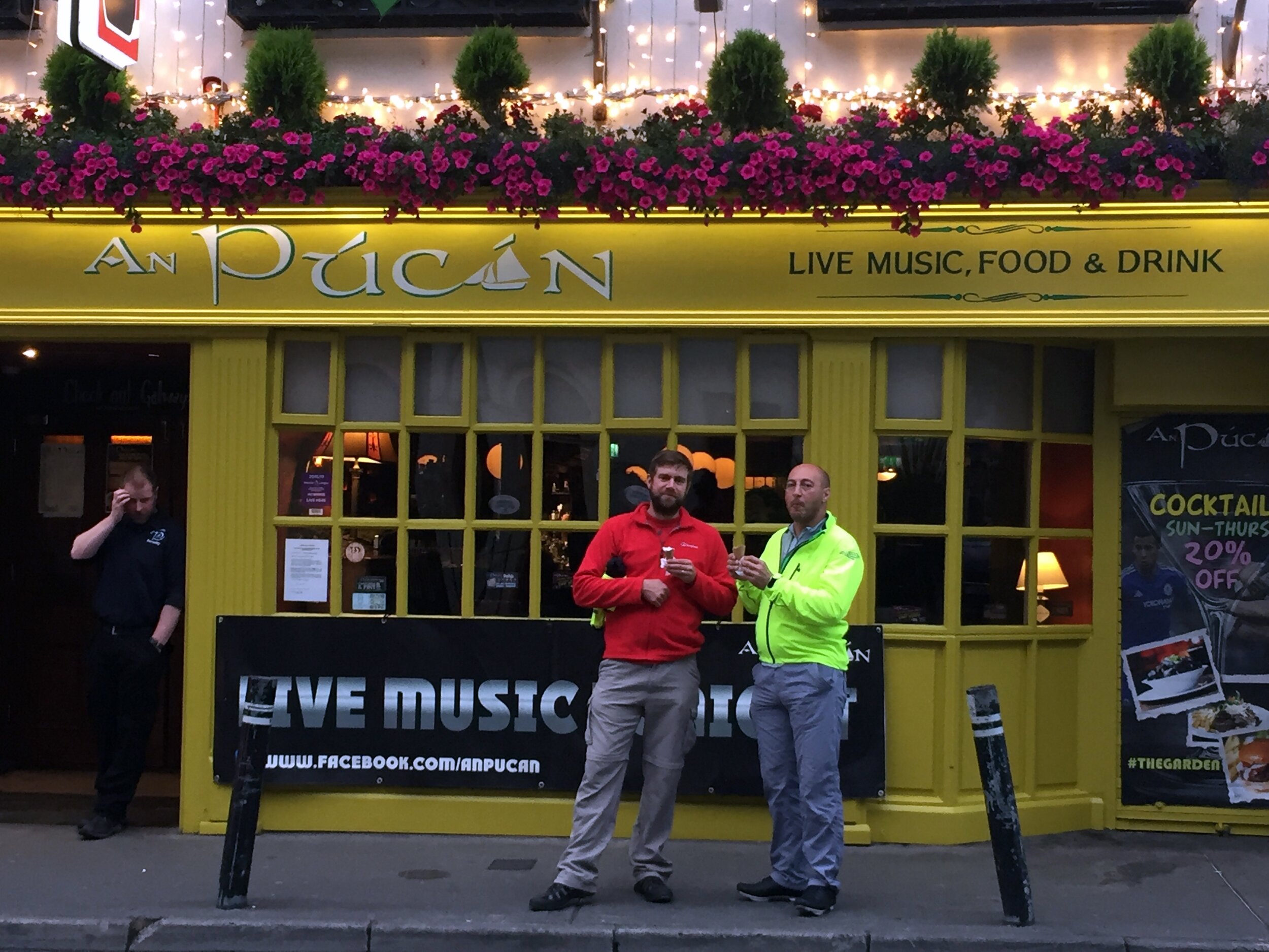
Day 3 continued to follow the Wild Atlantic Way through to Galway. It was here that we met with Neil, the 0.5 of our 3.5 person team. A previously arranged U2 concert in London meant he couldn’t meet us in Cobh. Instead he cycled a 2 day shortcut from Cork to catch us in Galway.
Day 4: Galway to Rosmuck
Date: July 11th 2017
Start: Galway Docks, 22-26 Bóthar Na nDuganna, Galway
Finish: Rosmuck, Co. Galway
Distance: 65 km (40 miles)
Elevation change: +338m / -336m / Net +2m
GPX File: get via Buy Me a Coffee
Other Routes Touched (Cycle): Wild Atlantic Way, EV1
Other Routes Touched (Walk): None
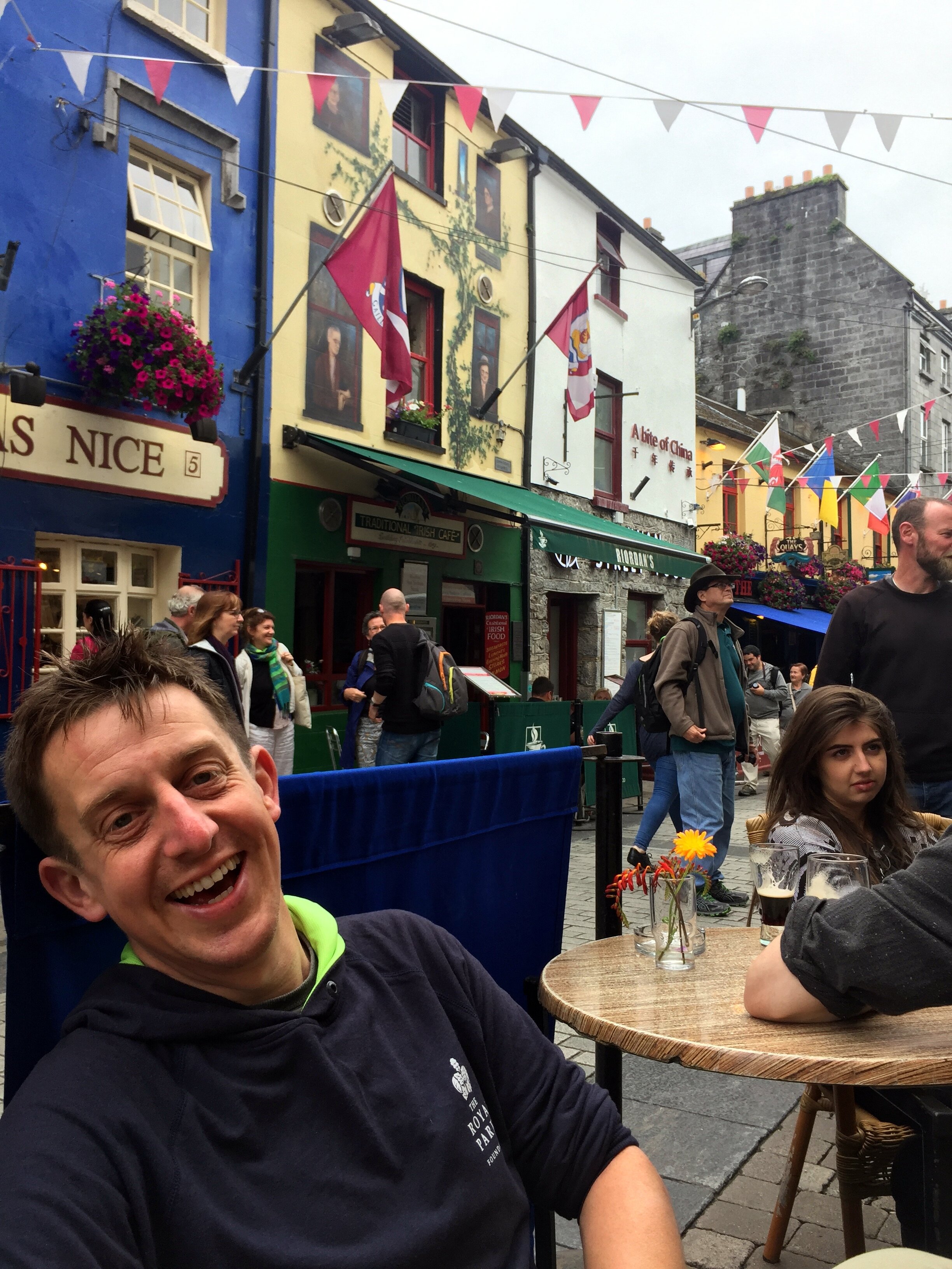
Day 4 was our shortest day, designed to give us a longer morning in Galway. The pubs and music scene couldn’t be missed so some hangover recovery time was an essential part of the plan. Despite only being 40 miles and relatively flat it was a slog. Once we turned north from the Galway Coast civilisation felt a long way behind. It felt culturally different with the pubs and cafes having more of a “you’re not from around here, are you?” vibe. Maybe it was due to the sheer numbers of grim looking Republicanist photos on the walls, or maybe we were still hungover. Either way, we weren’t feeling the Irish charm we’d experienced earlier in the trip.
Day 5: Rosmuck to Westport
Date: July 12th 2017
Start: Rosmuck, Co. Galway
Finish: Bridge St, Cahernamart, Westport, Co. Mayo
Distance: 130 km (81 miles)
Elevation change: +1,102m / -1,103 m / Net -1m
GPX File: get via Buy Me a Coffee
Other Routes Touched (Cycle): Wild Atlantic Way, EV1
Other Routes Touched (Walk): The Western Way - Mayo
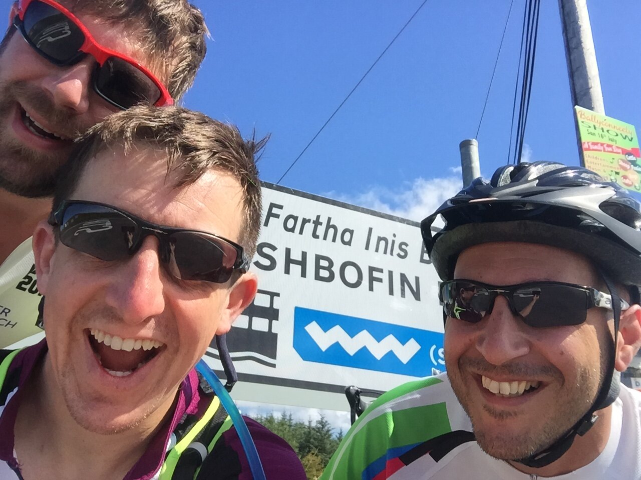
On day 5 we set off early to get a head-start on one of the longer days of the trip. We were now back down to the core 3. Neil, who had only just caught us up in Galway, had to travel back to the UK for a funeral. This meant cycling back to Galway, taking a train to Dublin, a flight to London and a train to Darlington. If that wasn’t enough, he would reverse it again a day later to rejoin us at Monaghan for the final push to Belfast. It all seemed over-complicated but we were all happy to have him with us even if only for parts of the trip.
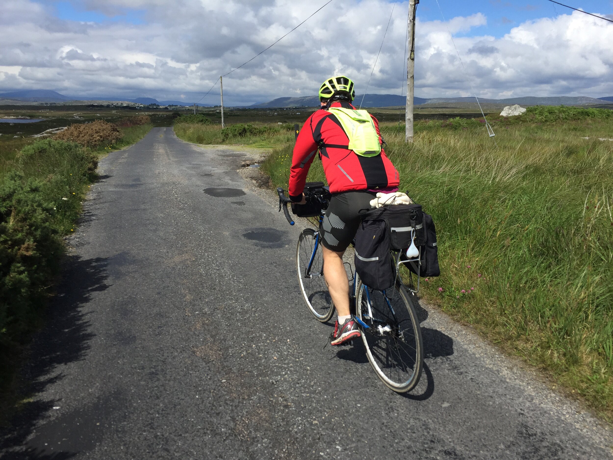
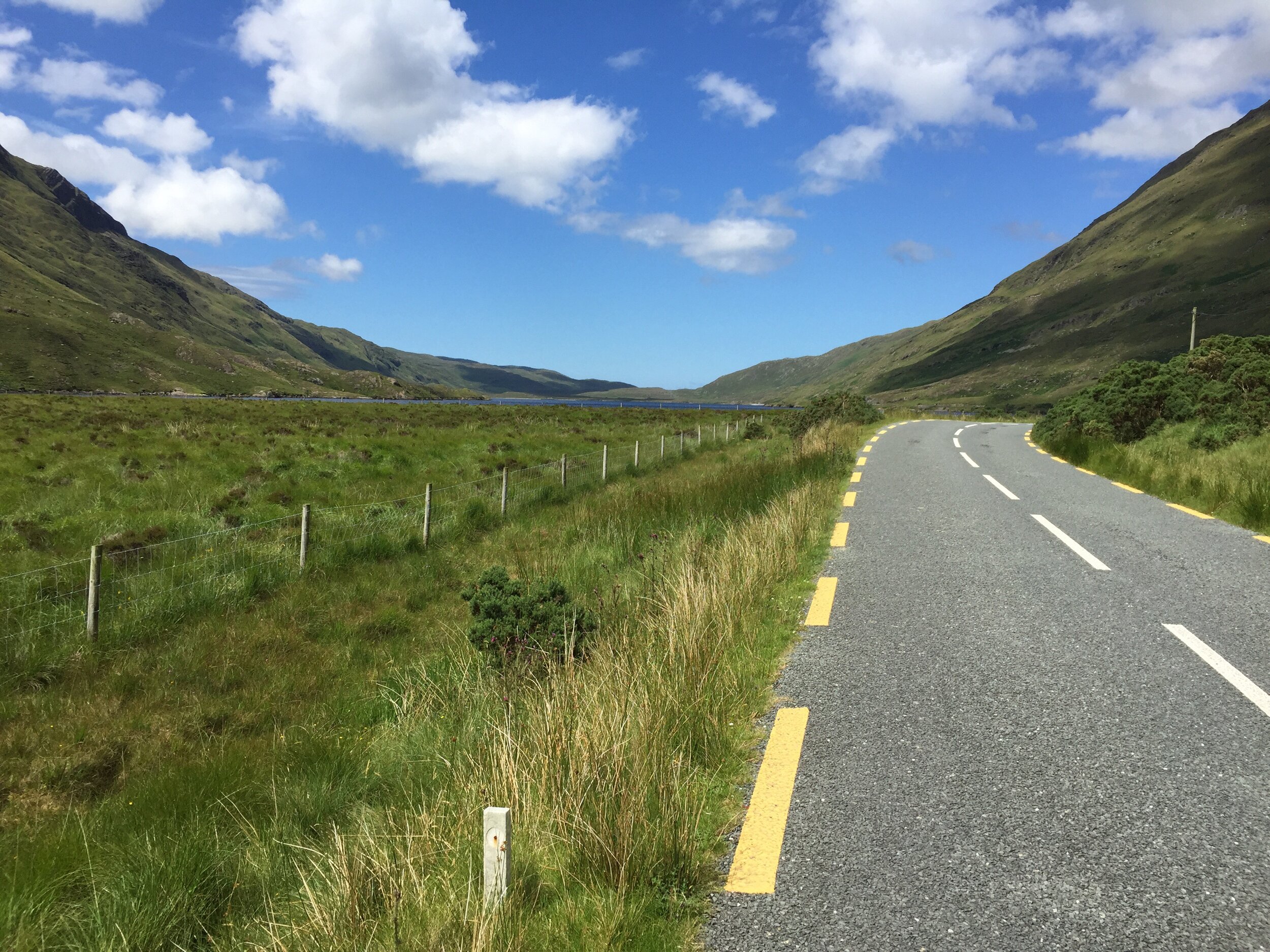
Our route around the coast to Westport was by far the most enjoyable day of the trip. Beautiful panoramas stretched for miles ahead. The nice weather made sure we would appreciate every minute of it. This will stay in my memory as one of the most perfect days of cycling I’ve had.
Despite the wonder of the scenery we were happy to reach Westport for a rest and some overdue bike repairs. A breakdown at any point during the day would have been massively inconvenient so we took the opportunity to stock up on spares. We were determined to experience Westport's famous music scene, but our exhaustion limited our big night out to 30 minutes, 1 pint and an early night.
Day 6: Westport to Manorhamilton
Date: July 13th 2017
Start: Bridge St, Cahernamart, Westport, Co. Mayo
Finish: Manorhamilton Co. Leitrim
Distance: 123 km (76 miles)
Elevation change: +870m / -829 m / Net +41m
GPX File: get via Buy Me a Coffee
Other Routes Touched (Cycle): Wild Atlantic Way, EV1, North West Trail
Other Routes Touched (Walk): The Western Way - Mayo, The Sligo Way
Days 6 and 7 were uneventful and less memorable. Given more time we would have continued north along the Wild Atlantic Way to Donegal. Belfast was calling us though, and we turned our back on the coast and headed east towards the border. Overnight stops on these days were Manorhamilton and Monaghan. Nice, but I’m struggling to remember anything about them several months after the trip.
Day 7: Manorhamilton to Monaghan
Date: July 14th 2017
Start: Manorhamilton Co. Leitrim
Finish: The Diamond, Roosky, Monaghan
Distance: 106 km (66 miles)
Elevation change: +700m / - 699m / Net +1m
GPX File: get via Buy Me a Coffee
Other Routes Touched (Cycle): North West Trail, NCN 91
Other Routes Touched (Walk): Leitrim Way, Cavan Way, Ulster Way, Cuilcagh Way
Day 8: Monaghan to Titanic Belfast
Date: July 15th 2017
Start: The Diamond, Roosky, Monaghan
Finish: Titanic Belfast, 1 Olympic Way, Queen's Road, Belfast, BT3 9EP, United Kingdom
Distance: 101 km (63 miles)
Elevation change: +749m / -814m / Net -65m
GPX File: get via Buy Me a Coffee
Other Routes Touched (Cycle): EV1, NCN 9, 91, 93
Other Routes Touched (Walk): Ulster Way, Newry Canal Way
By Monaghan Neil re-joined us and he and I set off early for the final day. It was Saturday and, not completely coincidentally, Armagh parkrun was on the route to Belfast. We were also now in Border Country and I amused myself with how many times we could cross in and out of the UK on the same tiny country road. We became minor celebrities at the parkrun based on the combination of having cycled there from Cork and it being my 200th parkrun event.
The rest of Day 8 had an intriguing mix of country roads and small towns decorated with Unionist murals. When I was growing up the Northern Ireland situation was the main thread of much of the news I watched. Whilst it’s mostly disappeared from the news on the mainland it’s clear that, for many, the wounds are still not healing.
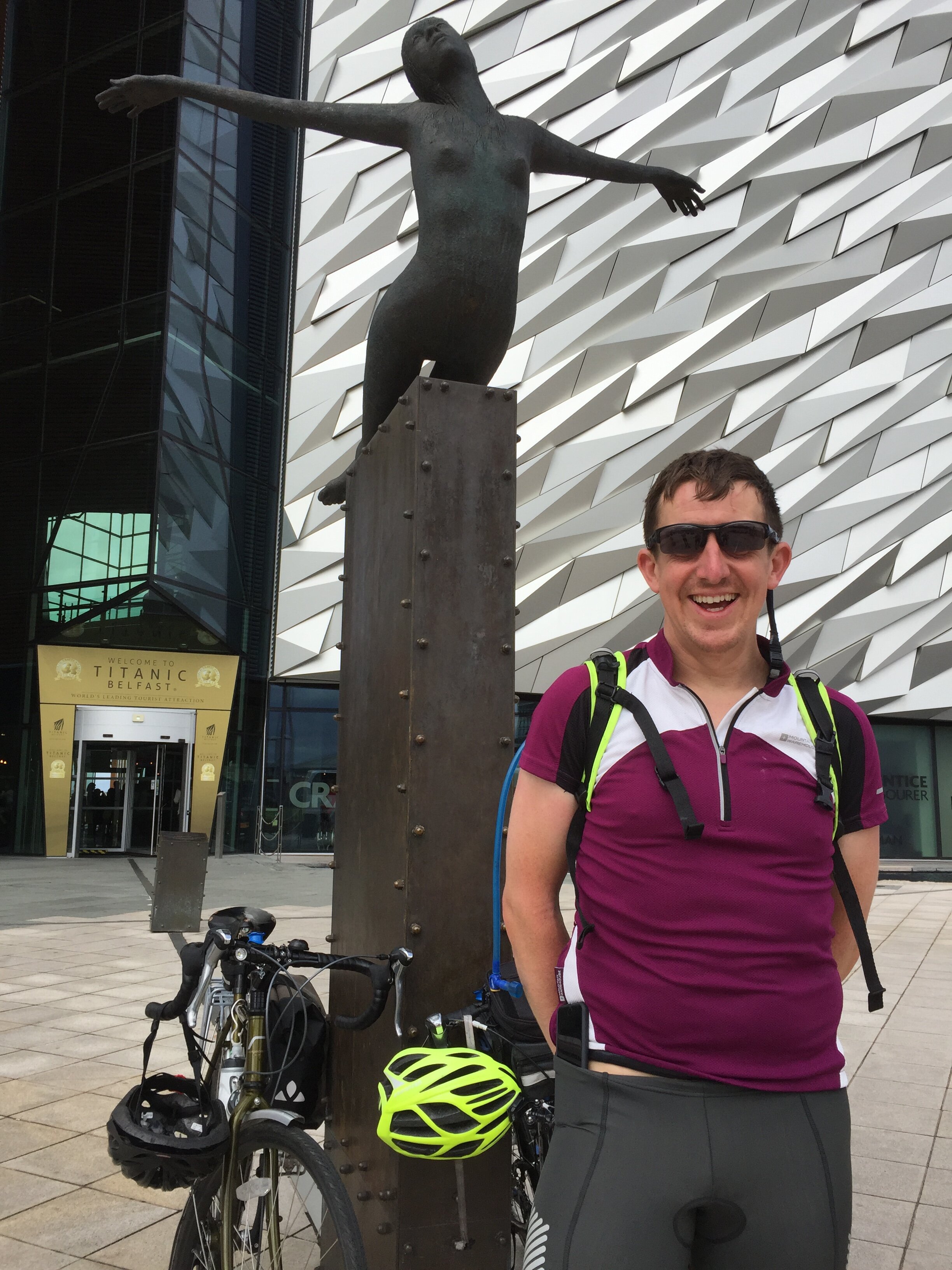
As we reached the outskirts of Belfast the route joined the River Lagan which gave us a meandering and scenic final few miles. Unlike John o’Groats, which I found to be anticlimax to the LEJOG trip, the big iron sign at the Titanic museum was a much more satisfying final destination. We had largely forgotten about our tenuous theme along the way but the Titanic link added an extra dimension to a fun, challenging trip through Ireland.
The Complete Route
Each colour represents an individual day.
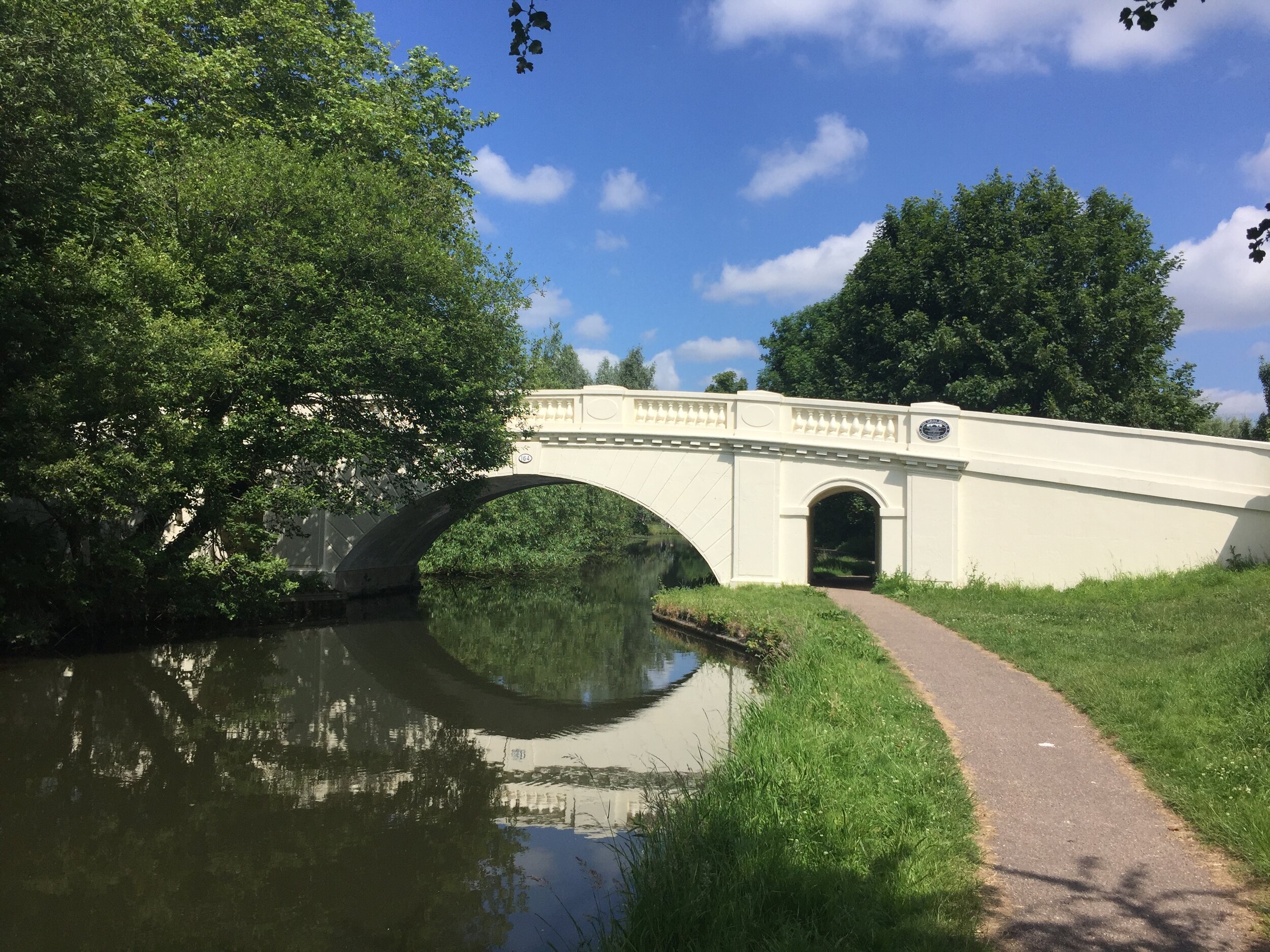
Grand Union at The Grove, Watford
Part of the Chiltern Rivers Series
River start, end and length
- Gade: starts near B440 in Dagnall, Buckinghamshire, runs 25 km (16 miles) to the River Colne in Rickmansworth, Hertfordshire
- Ver: starts in the grounds of Lynch Lodge, Kensworth Lynch, runs 24 km (15 miles) to the River Colne in Bricket Wood, Hertfordshire
Cycle route start / end: Rickmansworth Aquadrome, Frogmoor Ln, Rickmansworth WD3 1NB
Cycle route length: 78 km (48.5 miles)
Cycle route ascent: +/- 437m
GPX File: get via Buy Me a Coffee
Other routes touched (walk): Chiltern Way, Hertfordshire Way, Icknield Way, River Ver Trail
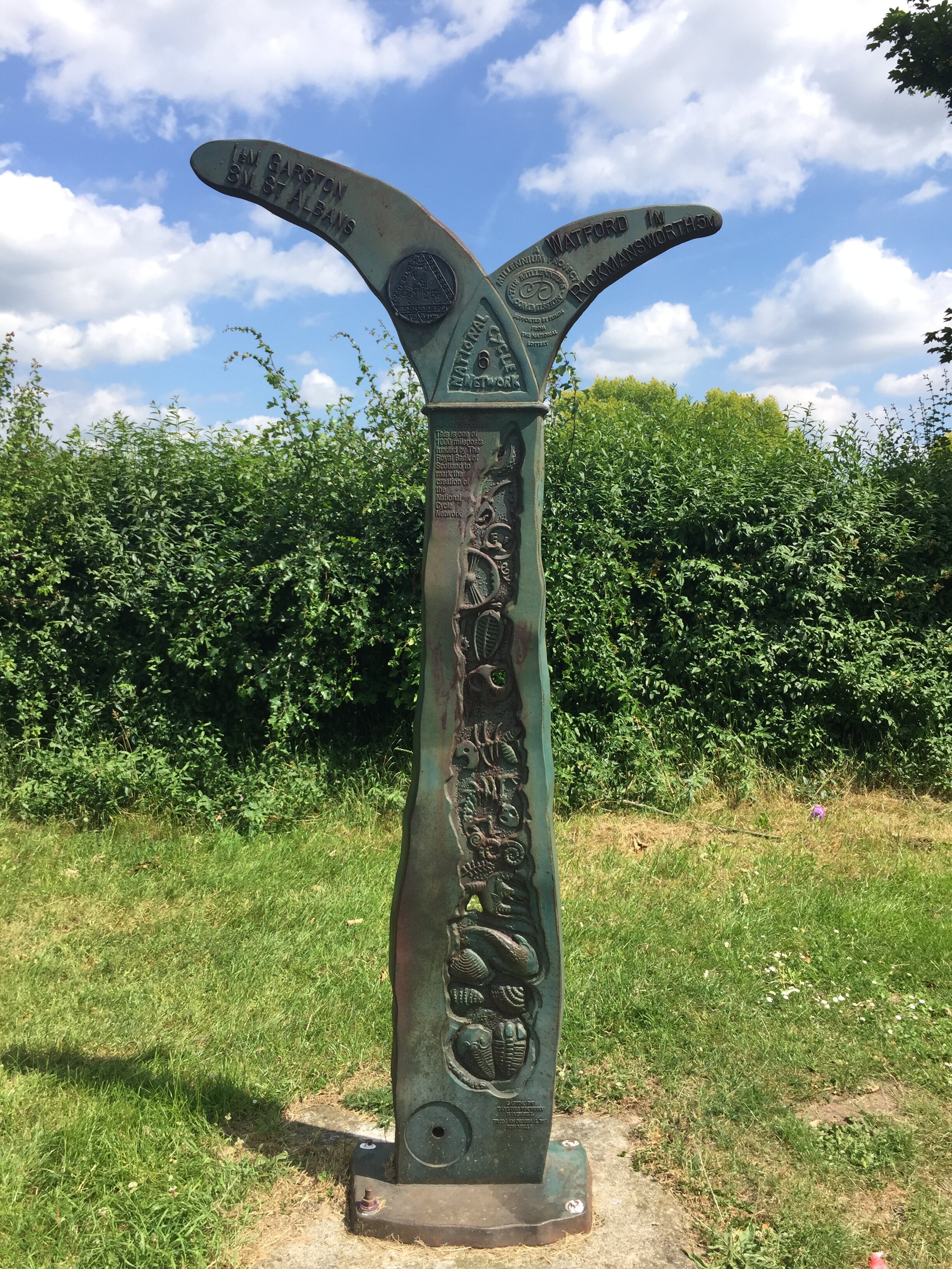
Other routes touched (cycle): NCN routes 57, 6, 61, Chilterns Cycleway, Nickey Line, Grand Union Canal Towpath
Map: OS Explorer Map (181) Chiltern Hills North, OS Explorer Map (182) St. Albans and Hatfield, OS Explorer Map (172) Chiltern Hills East
Links: Rickmansworth Aquadome, Hemel Hempstead, Dagnall, Whipsnade, Kensworth, Markyate, St Albans, Bricket Wood
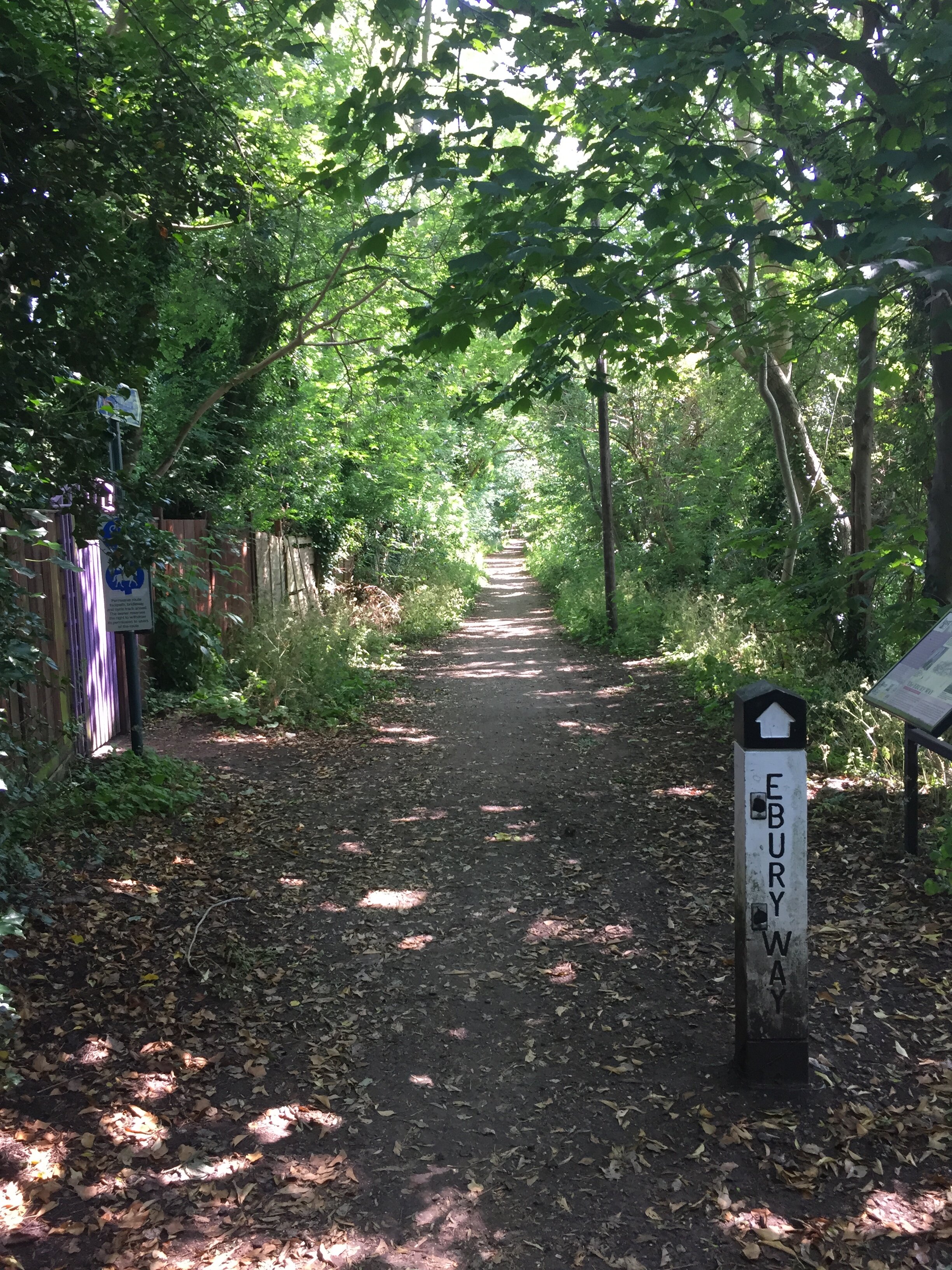
Today's 50-mile cycle trip was both a training session for July's Ireland trip and a 2 ticks for the price of 1 for the Chiltern Rivers. Both the Gade and the Ver start high in the Chilterns and meander south, eventually joining the Colne. Neither has well-defined paths next to the rivers, so they're best followed by bike along nearby roads.
The Gade can be seen many times after Hemel Hempstead as it keeps close to the main road to Leighton Buzzard. The Ver was less interesting and I barely saw it at all on the trip. The River Ver Trail, which I noticed on a few signs whilst speeding by, is a better way to see the river at a much slower pace.
The cycle route makes for a very pleasant adventure with a mix of canal, parks, country roads and quaint villages. There's a few stretches along busier A roads, but nothing too scary. The downhill stretch through Whipsnade and Kensworth after climbing Bison Hill is a particular highlight.
Here's the route:
The Gade
Start at the free car park at Rickmansworth Aquadome.
Follow Grand Union Canal north to Hemel Hempstead
Turn right onto Two Waters Road heading north. Take the underpass under the Plough roundabout.
Keep the Gade to your left, taking Waterhouse Street then Marlowes to Gadebridge Park
Keep to the right of Gadebridge Park, exiting to Piccots End Road, continuing to Leighton Buzzard Road.
Continue north until the Red Lion pub at Dagnall. Celebrate with lunch.
Between the Gade and Ver
After the Red Lion, double back for a couple of hundred metres then turn left onto the Dunstable Road towards Whipsnade.
After about a mile turn right onto the B4540, taking the steep(!) Bison Hill up to Whipsnade.
Continue past Whipsnade village, eventually reaching Kensworth, the source of the Ver.
The Ver
Continue along the B4540 until it reaches the A5, turn right.
Follow the A5 to the M1 junction, briefly diverting along Old Watling Street just past Markyate.
After the M1 junction, continue straight on Dunstable Road to the roundabout at the edge of St Albans.
Take the 3rd exit onto the A4147, following signs for Old Verulamium.
At the park, follow signs for the St. Albans Greenway until it meets NCN Route 6/61
Turn right / south onto NCN Route 6/61, following it all the way back to Rickmansworth Aquadrome.
The Ver meets the Colne just south-east of Bricket Wood station. I didn't search for it but, from the map, it looks like you can there via Drop lane, opposite the station.
Return to the Start
From Bricket Wood, continue on NCN 6/61 to Rickmansworth Aquadrome
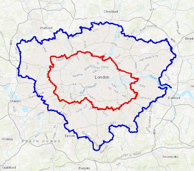
Above: Red shows the course of the Gade and Blue shows the Ver. Green shows the cycle route.
Elevation for cycle route
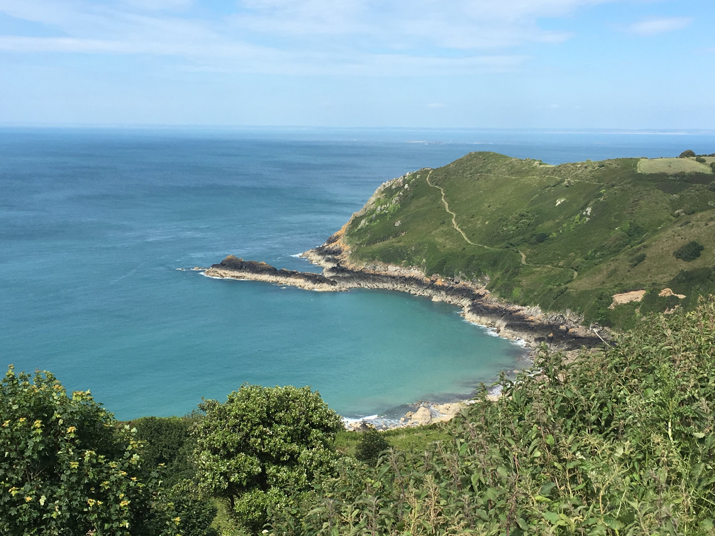
For our weekend in Jersey we recreated some old family photos. Both my parents, Ann and Michael, and my grandparents, Margaret and Charles went there in 1961. The capital and the airport have changed a lot in the meantime, but the rest of the island is much the same.
Michael, 1961 - View to Elizabeth Castle from St Helier Esplanade
Michael, Jersey harbour in background. 1961
Michael at Gorey Beach, 1961
Moulin de Lecq, 1961
Margaret at Moulin de Lecq, 1961
Ann at Moulin de Lecq, 1961
Margaret - Tantivy Motors, 1961
Michael, Mont Orgueil Castle, 1961
Charles, Gorey, 1961
Margaret, Gorey, 1961
Margaret, Mont Orgueil Castle, 1961
Ann, Jersey Airport, 1961
Richard, 2017
Richard, 2017
Richard, 2017
2017
Timea, 2017
Timea, 2017
Timea, 2017
Richard, 2017
Richard, 2017
Timea, 2017
Timea 2017
Timea, 2017
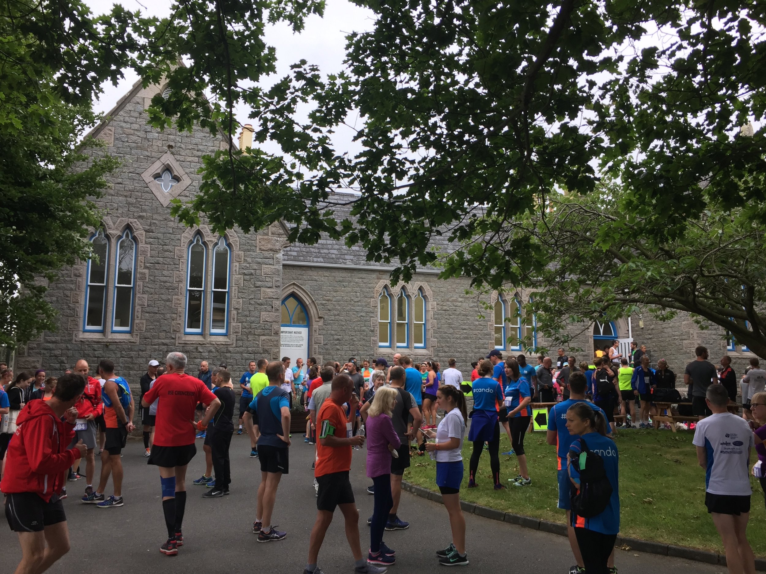
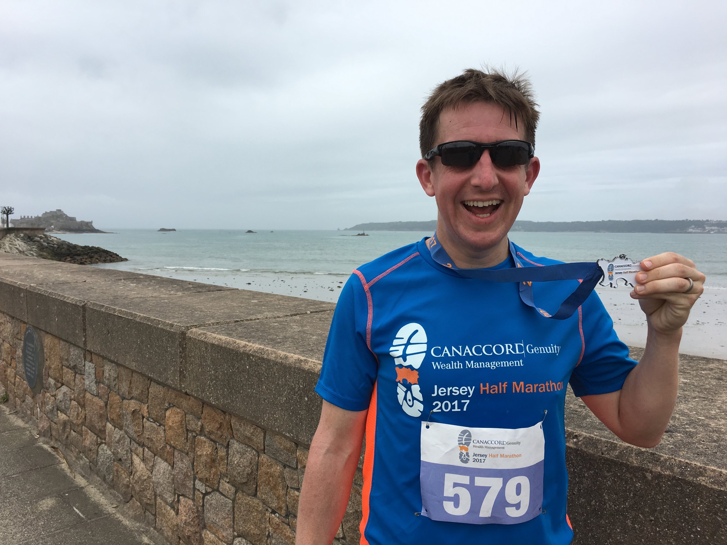
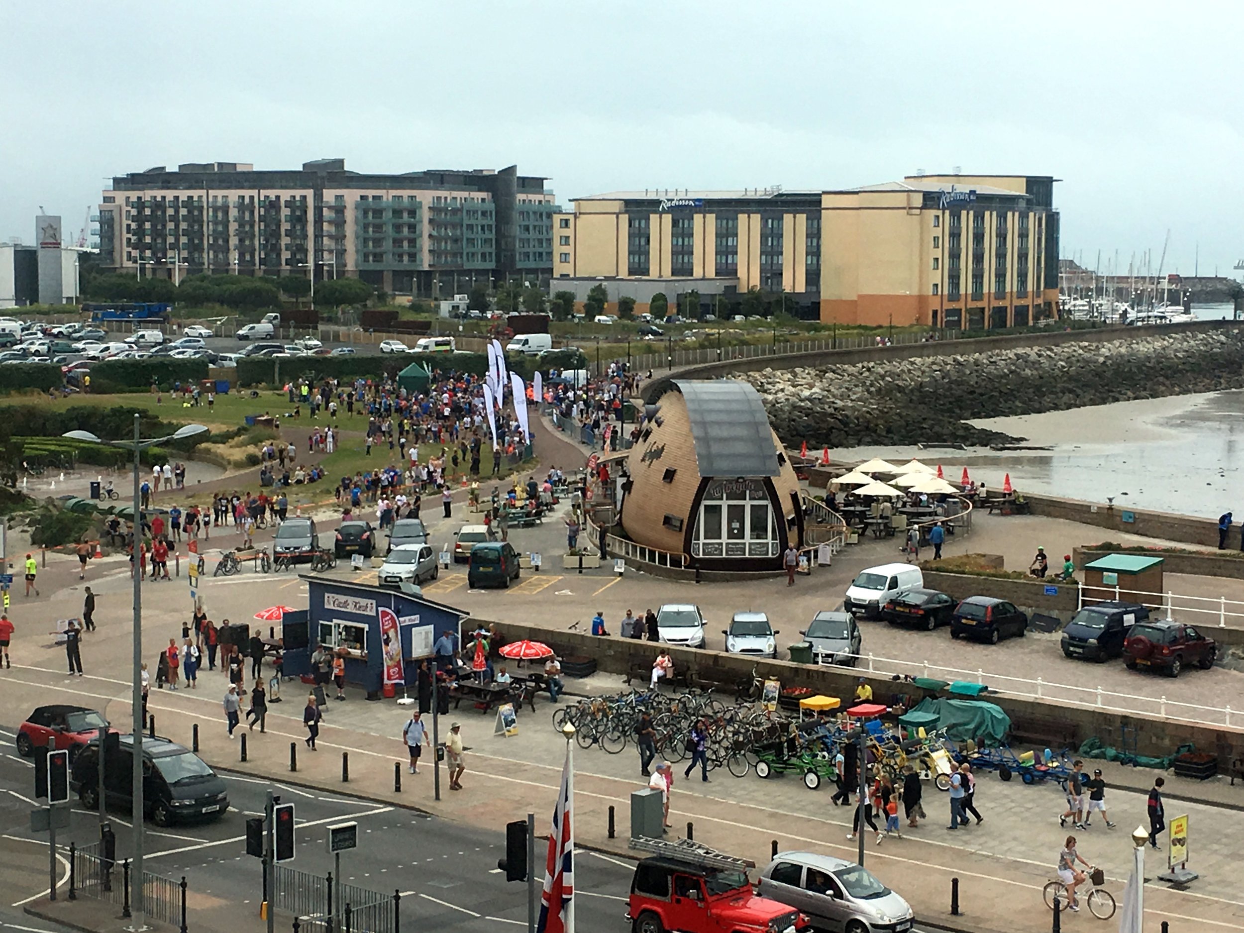
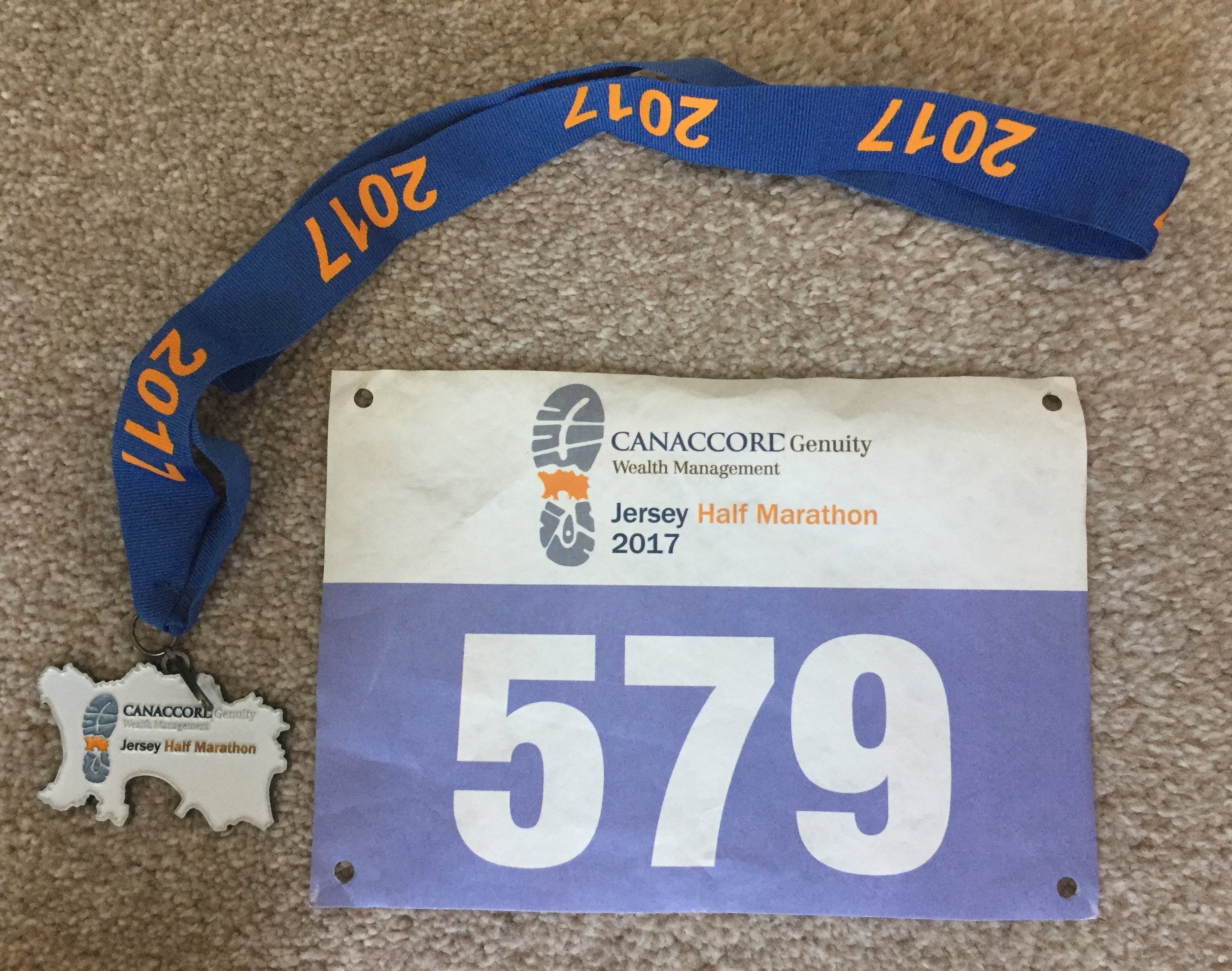
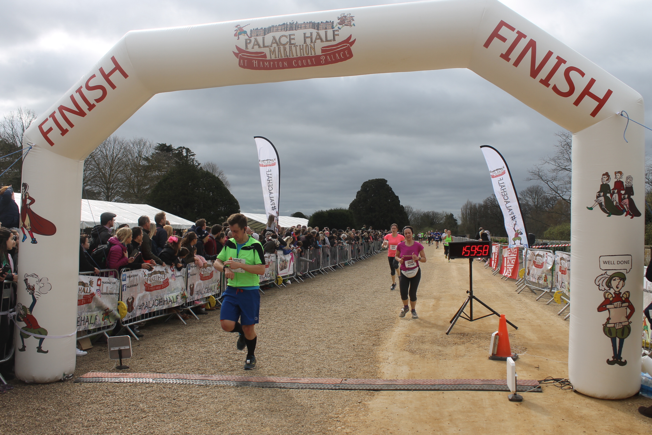
When: June 11th 2017
Where: Jersey, Channel Islands
Course: Point-to-point from St Ouen to St Helier. First 2 miles down-hill to the north west coast then 5 miles along western coastal roles. Follows the old railway line, now a cycle path to St Aubin with the final 3 miles on the promenade of St Aubin's bay
Other routes touched (walk): None
Other routes touched (cycle): Jersey Cycle Route 1
Finish time: 1:59
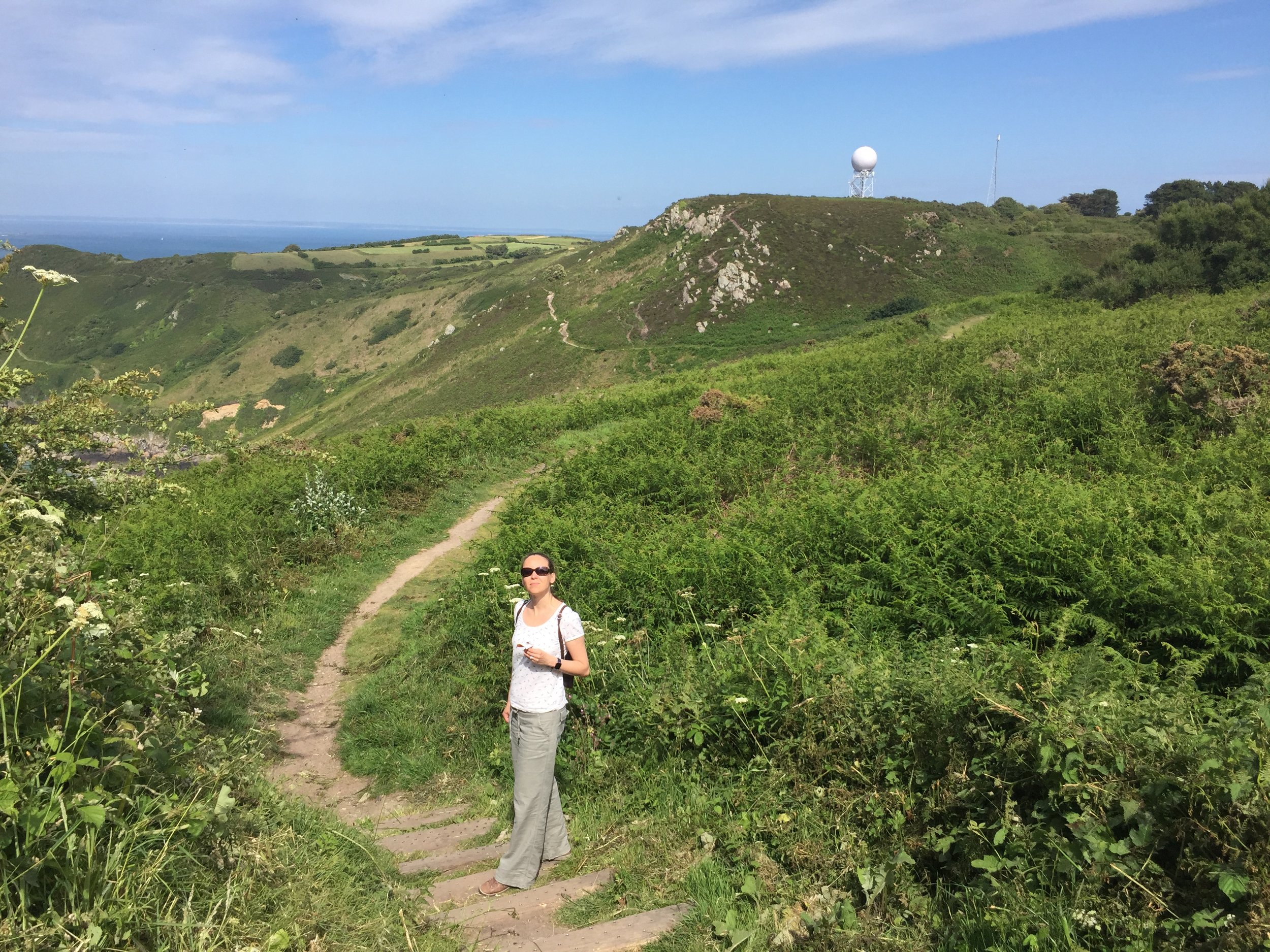
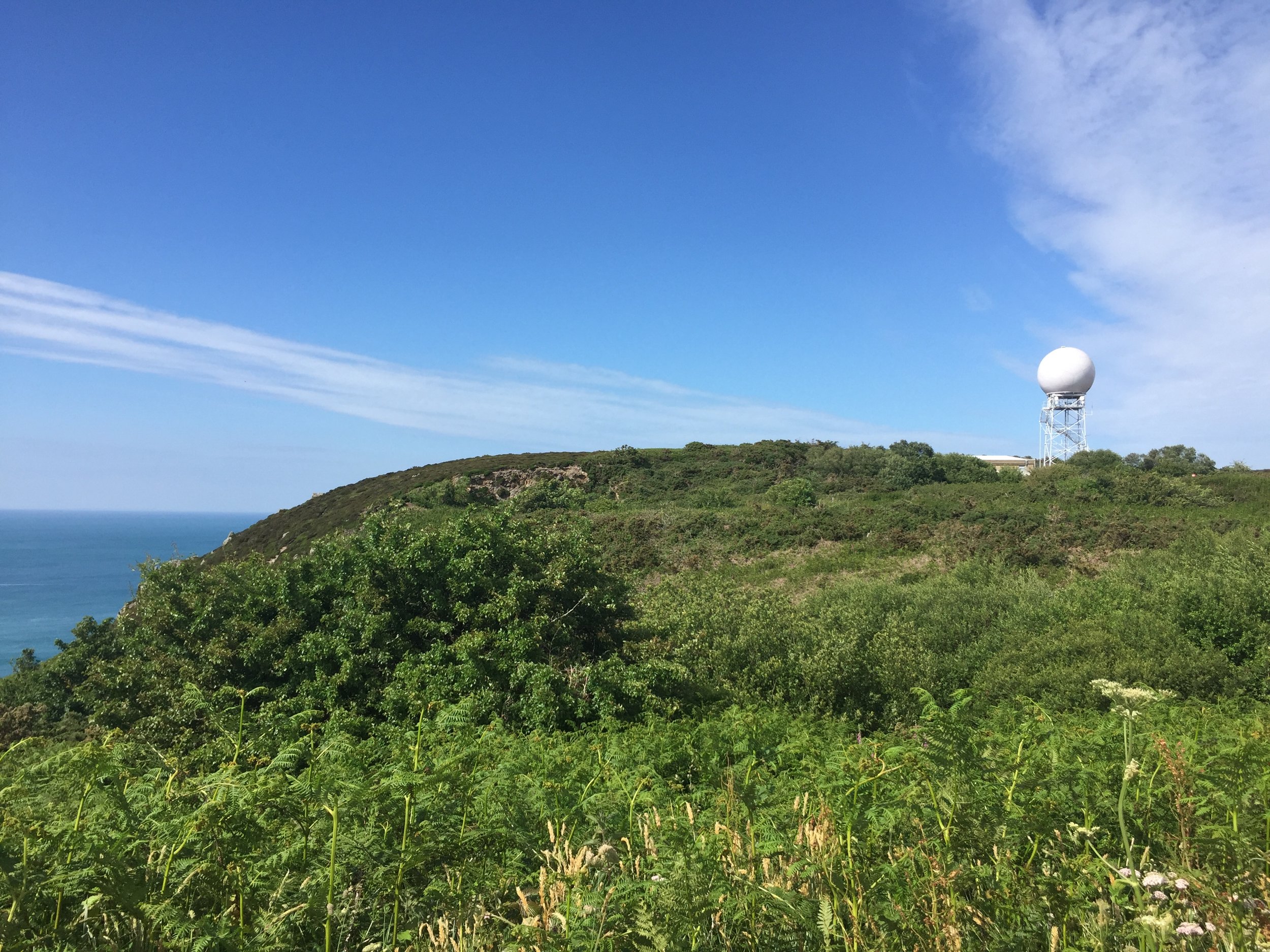
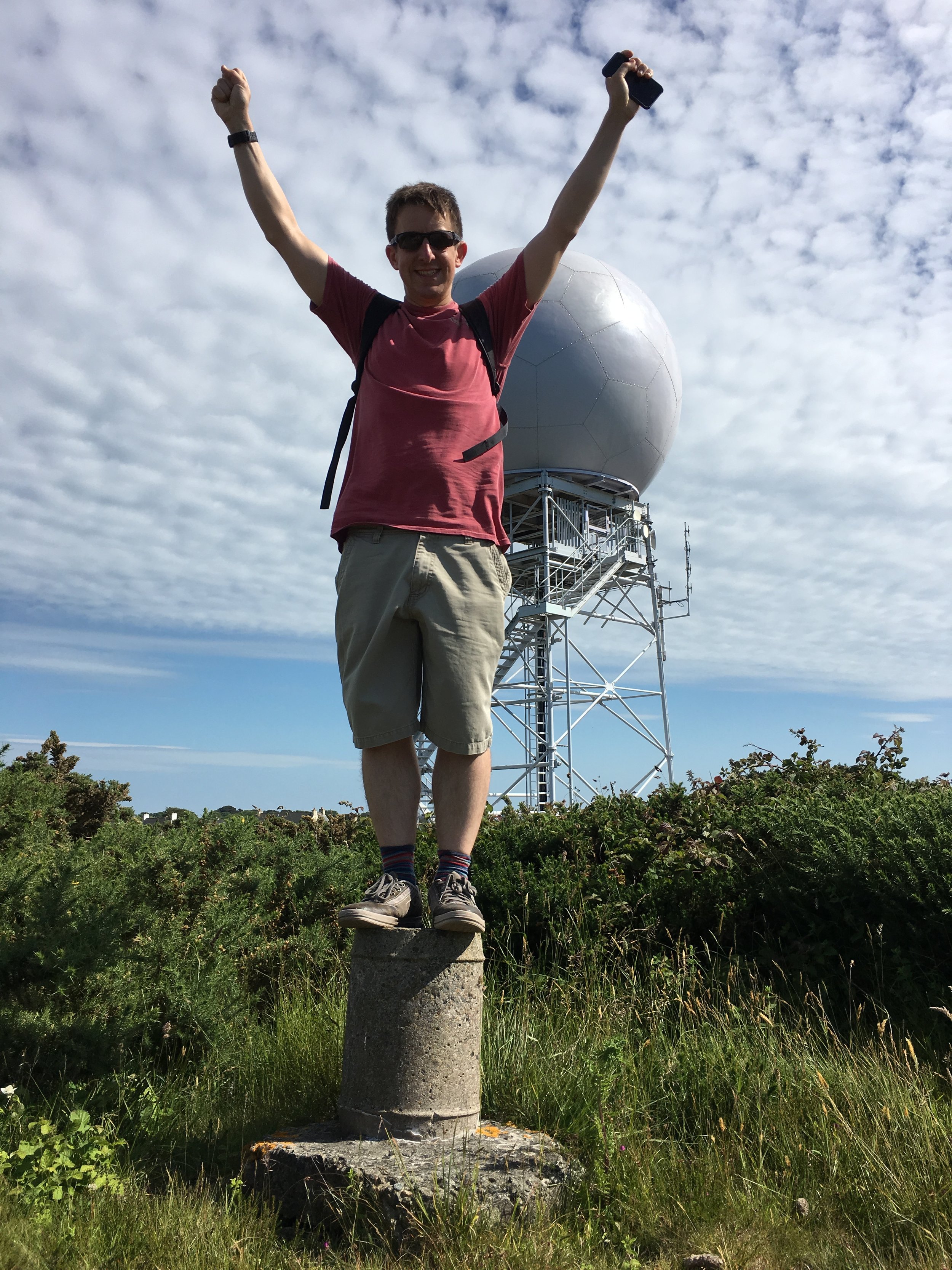
High point is next to the big golf ball
Significance: High point of the island of Jersey, Channel Islands
Elevation: 136 m / 143m (different sources)
Date climbed: 10/06/2017
Coordinates: 49° 14' 39'' N, 2° 5' 35'' W
Route Start / End: Circular from car park on Rue des Platons
Route Distance: 1.7 km (1.1 miles)
Route Elevation Change: +/- 31m
Subsidiary tops on route: None
Other routes touched (walk): None
Other routes touched (cycle): Jersey Cycle Route 1
GPX File: get via Buy Me a Coffee
Hampstead Heath
Start: Heath Brow Car Park 12 North End Way, Hampstead, London, NW3 7ES
Finish: Blackfriars Bridge, River Thames, London, EC4Y 0AF
Distance: 10.4 km (6.5 Miles)
Elevation change: +40m / -161m. Net -121m
GPX File: get via Buy Me a Coffee
Other Routes Touched (walk): Jubilee Greenway, Regents Canal Towpath, Thames Path
Other Routes Touched (cycle): CS3, C6
Map: OS Explorer 173 London North
Guidebooks: London's Lost Rivers: A Walker's Guide, London's Lost Rivers, London's Hidden Rivers: A walker's guide to the subterranean waterways of London
Links: Wikipedia, Londonist Video
See also: Walking The River Wandle
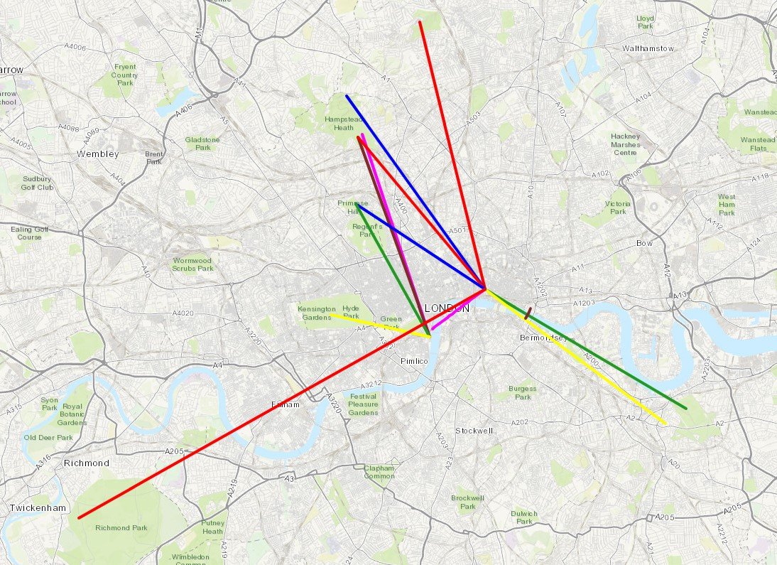
For today's London lost river trip we walked the length of the Fleet from Hampstead Heath to the Thames. The Fleet used the flow through the centre of London until it was covered up in the 1700's, much of it becoming a sewer. Nowadays only parts of it are visible near the source at Hampstead. Despite the lack of actual river, walking the route is a nice couple of hours through some interesting parts of the city.
We mostly followed the route described in Tom Bolton's book London's Lost Rivers. Our main diversion from this was to visit Camden Lock at 3 miles in, then follow the Regents Canal to King's Cross station. The distance is roughly the same but it's a more pleasant walk than the back roads that more closely follow the route.
There's loads of interesting London history along the route. I won't cover it here as Tom Bolton's book is a very thorough guide and well worth taking with you. The Londonist video (linked below) is also a good primer for the trip.
Getting there and back is pretty straightforward. We parked at Heath Brow Car Park (NW3 7ES) which is right next to the start of the western source at Whitestone Pond. Although convenient, it's also expensive at £20 for the 6 hours we needed for the complete round trip. The best route back is via Underground, taking the Circle or District from Blackfriars to Embankment, then the Northern Line to Hampstead, less than half a mile walk from the car park.
More London posts
When: April 23rd 2017
Where: Stockley Park, Uxbridge
Course: Loops of Stockley Park Golf Course & Country Park with start and end in Stockley Park Business Park
Other routes touched: None
Finish time: 56m
Confluence with the Thames at Bray Marina
River start: Fish Ponds, North Ascot, Berkshire
River end: Confluence with the Thames between Queens Eyot Island and Bray Lock
River length: ~22.5 km (~14 miles)
Cycle route start: Junction of Hatchet End and Forest Road, North Ascot
Cycle route end: Sumerleaze Bridge, Bray Marina
Cycle route length: 22.6 km (14 miles)
Cycle route elevation change: +230m /- 269m. Net -39m
Other routes touched (walk): Ramblers Route
Other routes touched (cycle): NCN 4
Map: OS Explorer Map (160) Windsor, Weybridge & Bracknell
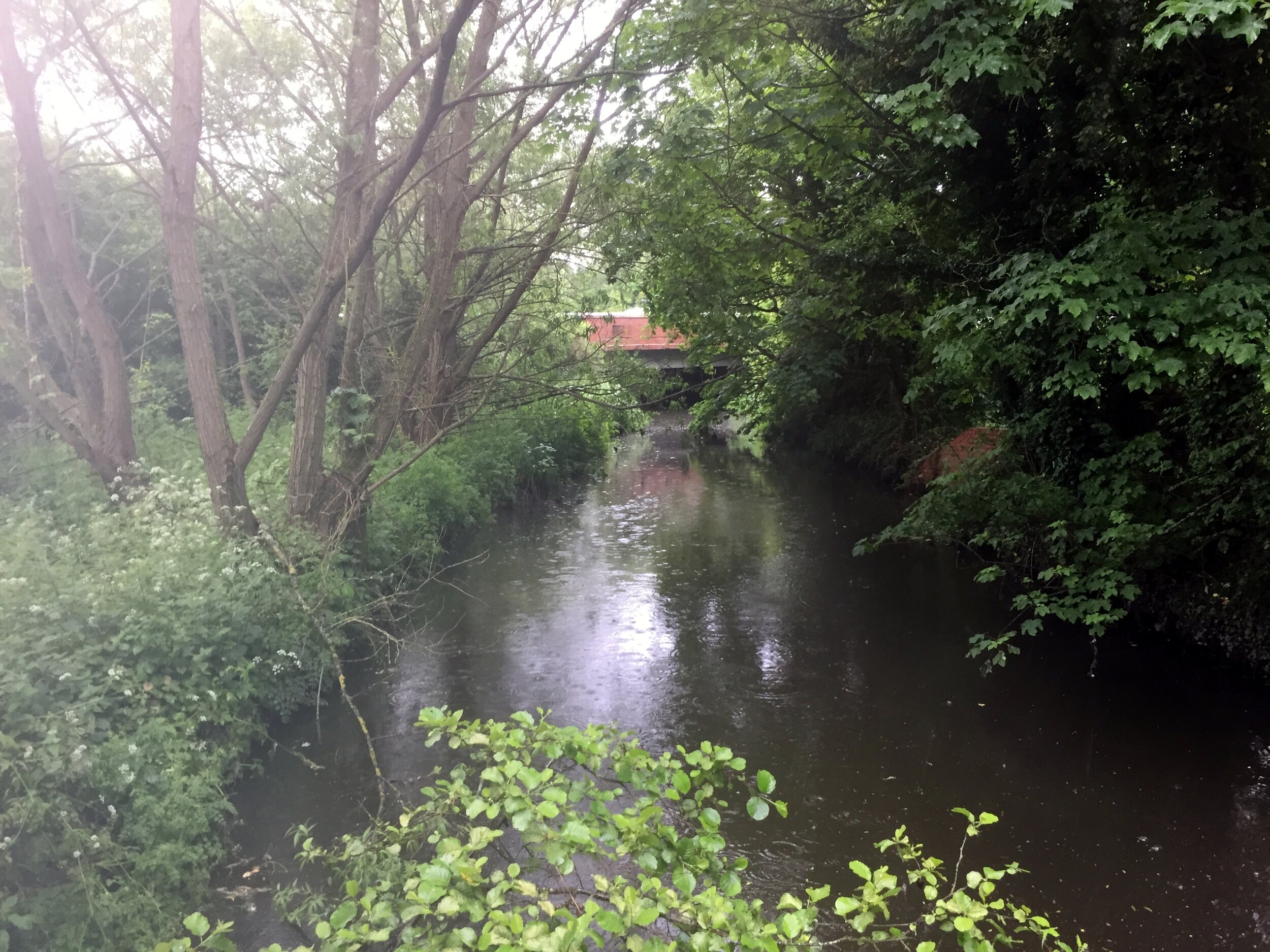
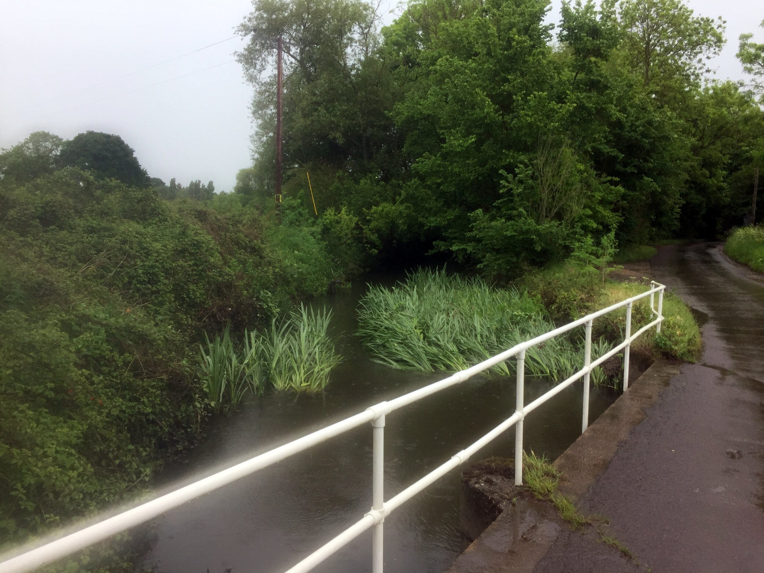
The Cut is an obscure 14-mile tributary of the Thames. There's no path to cycle or walk next to it, but the roads around it give a nice hour and a half ride through small Berkshire villages. I had crossed it many times before without knowing its name. It even crossed the garden of a house I'd lived in for a couple of years.
The purpose of today's trip was to cycle as close as possible to it from the start at North Ascot to the Thames at Bray. The best place to start is the junction of the A330 and the Forest Road. Here a stream goes under the road and continues south-east through Ascot Golf Course to Virginia Water lake. To the north-west is Fish Pond, in a private estate, where the river flows on towards the Thames.
From here, the cycle route follows mostly country lanes and some larger roads through Winkfield, Newell Green, Warfield, Binfield, Touchen End and Holyport. The only place to cycle next to the river is on the last mile at Bray Lake before it enters the Thames at Bray Marina.
Red: River Cut, Blue: Cycle Route
Elevation profile for cycle route
Sibiu
There was an interesting mix of reactions when we told friends and colleagues that we were planning a trip to Transylvania. Some didn’t think that it was a real place and others only associated it with the Dracula story. Most had never been. This was part of what made it an exciting trip for us: Transylvania inspires a real sense of adventure and a promise of stepping back in time, yet still within a few hours flight from London.
We had other reasons to go too. Transylvania is now part of Romania but used to be part of a much larger pre-WW1 Hungary. Timi, my wife, is Hungarian and had told me a few stories, so I wanted to learn more about its complicated history. It also turned out that we’ve got friends who are from there, something we hadn’t really appreciated until we started planning the trip.
The first thing to know is that it's a big place. Transylvania is 10% larger than Hungary itself and around 20% smaller than England. We were only going for a week, so we picked the central region that covered most of the “must-see” places recommended to us.
Statue of Matthias Corvinus, Cluj
Cluj (Kolozsvar in Hungarian) was a good place to start understanding the Hungarian connection. In the centre of the Old Town, in front of St Michael’s church, stands the statue of Matthias Corvinus, King of Hungary in the 15th Century
On our day trip to the Huedin Microregion (Caikszereda in Hungarian) on day 2 we saw some of the Hungarian villages near Cluj. We stopped at a church in Mănăstireni just as the service was ending and were treated by the pastor to a private tour of the church and its small museum. This was one of the few trips when speaking Hungarian was a real advantage.
Although the region was mostly Hungarian, there were some Romanian towns. It was a policy in the Ceausescu era to move ethnic Romanians into Hungarian villages to dilute the population. Some places have kept their Hungarian names, whilst others like Kolozsvár (Cluj) have Romanian names. Despite being nearly 100 years on from the Trianon Treaty, many Hungarians are still bitter about it. It's unlikely that anything is going to change though as the issue isn’t high on politician’s lists of things to fix.
It's not just the Transylanian issue that concerns people, as we discovered. We noticed “bassarabia e romania” (“Bessarabia is Romanian”) graffiti by the sides of the mountain roads to the Bucegi plateau. This is a historic region that was once part of Romania but now largely part of modern-day Moldova. The more that I read about the region, the more I discovered other territories like Transnistria and Dobruja with complicated histories and territorial claims.
Dracula
The Dracula myth is loosely based on the real Vlad Tepes, Prince of Wallachia in the 1400s. One theory we heard was that Bram Stoker had a relationship with a Hungarian professor from the University of Budapest and had heard stories of Vlad’s brutality. Vlad was famous for impaling the heads of his victims and displaying them along the routes that his enemies would travel along. This was intended to create fear and a sense of Vlad’s army being larger and more brutal than it was. As one historian told us, Vlad was probably no worse than many rulers at the time, it's just that he’s become famous for it, earning the name Vlad The Impaler.
The Dracula myth is actually a combination of influences from Vlad the Impaler, a European legend about a blood-sucking South American and Transylvania’s reputation as a wild and mysterious place. The name Dracula actually comes from Vlad Tepes’ father, Vlad Dracul, who got his name after becoming a member of the Order Of The Dragon ... Dracul meaning Dragon.
Thankfully Romania hasn’t gone overboard on exploiting the Dracula connection. In Sighisoara (Segesvar in Hungarian) we had dinner in a slightly tacky restaurant in the building Vlad was (supposedly) born in. In 2002 plans to build a Dracula theme park just outside the town were abandoned following criticism from UNESCO, Greenpeace and the Prince of Wales, amongst others. Instead, Bran Castle near Brasov is the centre of Dracula tourism. The castle’s connection to Vlad is highly tenuous as he may have stayed there for a few nights. The most interesting Vlad The Impaler fact for us was that he was imprisoned in by King Matthias at Visegrad Castle, right next to where we got married.
The Trip
Clock Tower, Sighisoara
Our 8-day trip started in Cluj-Napoca, ending in Sibiu via Sighisoara and Brasov. Driving in Transylvania there can be an adventure in itself. Roads are badly maintained and mostly single carriageway. Lorries share the road with horse &carts and often overtake without warning. This means that driving times between towns are longer than similar distances in other countries.
Highlights were:
Sighisoara, a UNESCO World Heritage town. We took a fascinating guided walking tour with Peter from the Cultural Heritage InfoPoint near the Clock Tower.
Viscri Fortified Saxon Church, also a UNESCO site. It’s 10km along a very bumpy dirt track. Well worth the effort though for a few hours of peace in a beautiful old village.
Cycling from Sibiu to the ASTRA open-air museum at Dunbrava National Park.
Things we wish we had known:
Don’t go to Turda Salt Mine on a national / bank holiday. It was rammed in there.
Heroes Cross and the Transfaragasan Road are only doable in the summer. We tried to get to Heroes Cross but only made it as far as the cable car station.
Sinca Veche is really weird. We’d heard reviews of people who had experienced strong energies there. We just didn’t get it.
Viscri Fortified Saxon Church
Day by Day
Blue = Day 3, Cluj-Turda-Sighisoara; Green = Day 5, Sighisoara-Viscri-Brasov; Red = Day 7, Brasov-Bran-Sinca-Sibiu
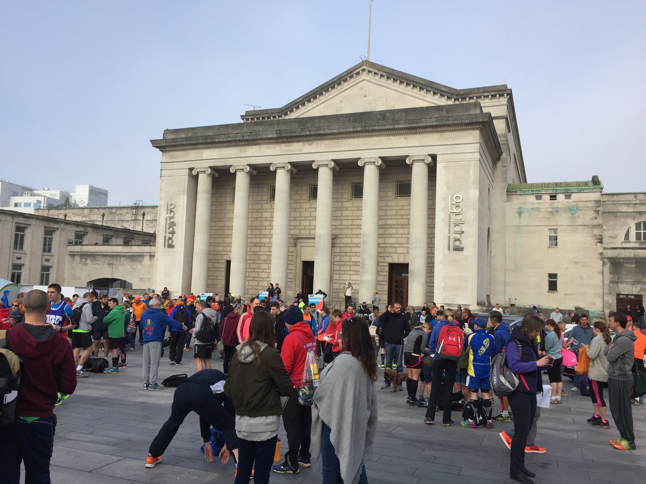
When: April 23rd 2017
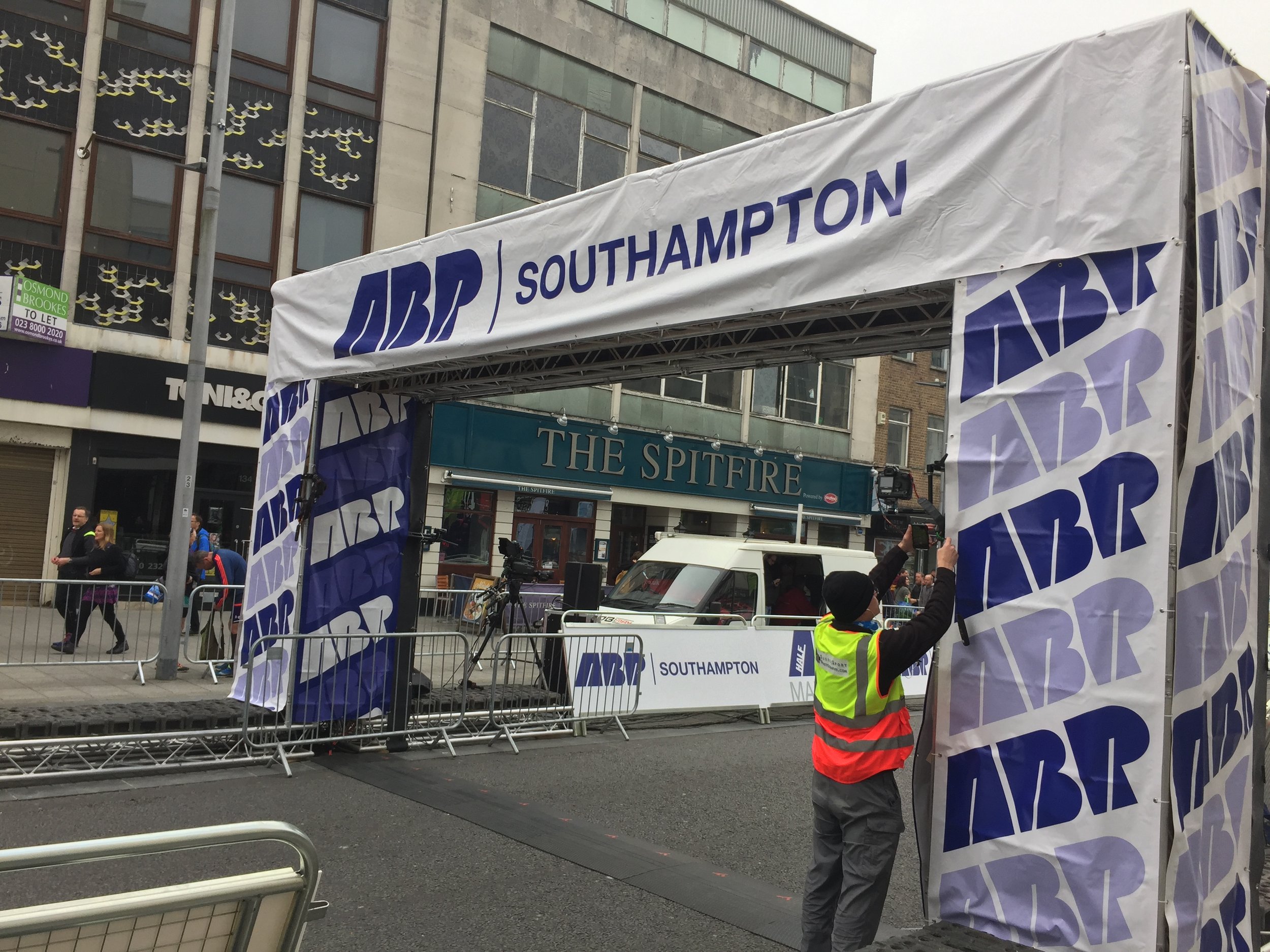
Where: Southampton, Hampshire, UK
Course: Mix of city centre, country parks and bridges over the River Itchen. Through the football stadium at mile 10.
Other routes touched (walk): Itchen Way, Solent Way,
Other routes touched (cycle): NCN 2, 23, 236
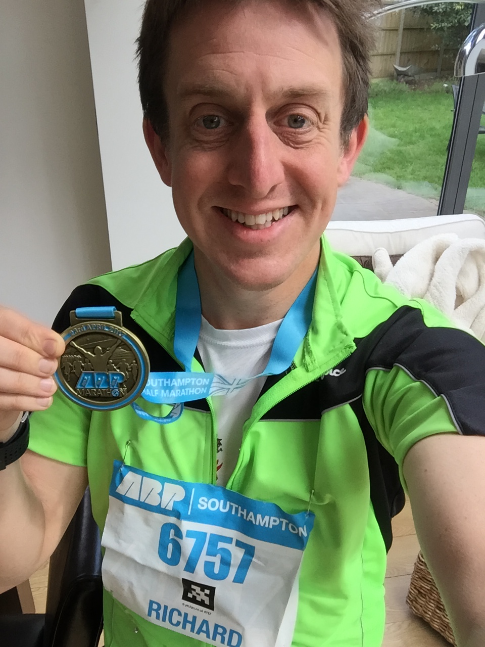
Finish time: 1:55
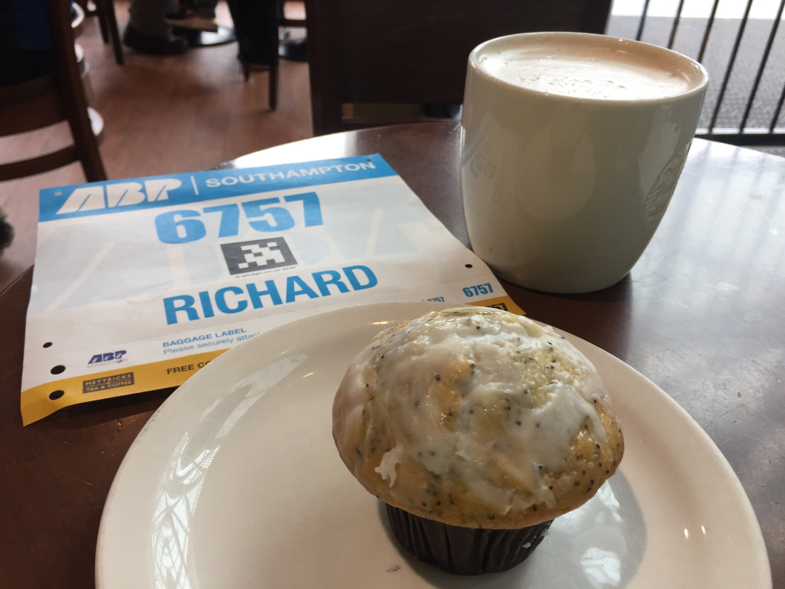
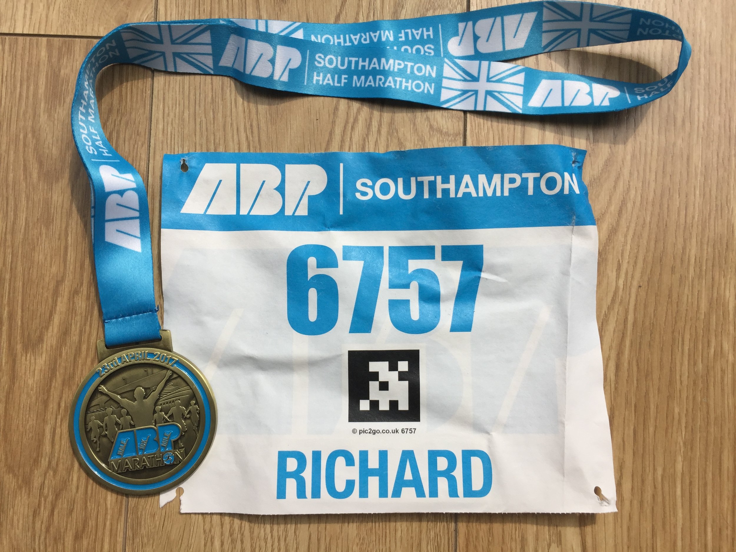
A highlight of today's Half Marathon was seeing how many people had misread the online registration form. There was a section that asked how you want your name to appear on your Race Number. Most got it right and wrote in their name, nickname, charity or running club. It's mainly there for spectators to cheer you on as you run past. Some clearly misunderstood and had "yes", "no" or "N/A" printed on them. There was even one guy who would have had people shouting "Well done ..."Just the number please"" as he ran by. Fail
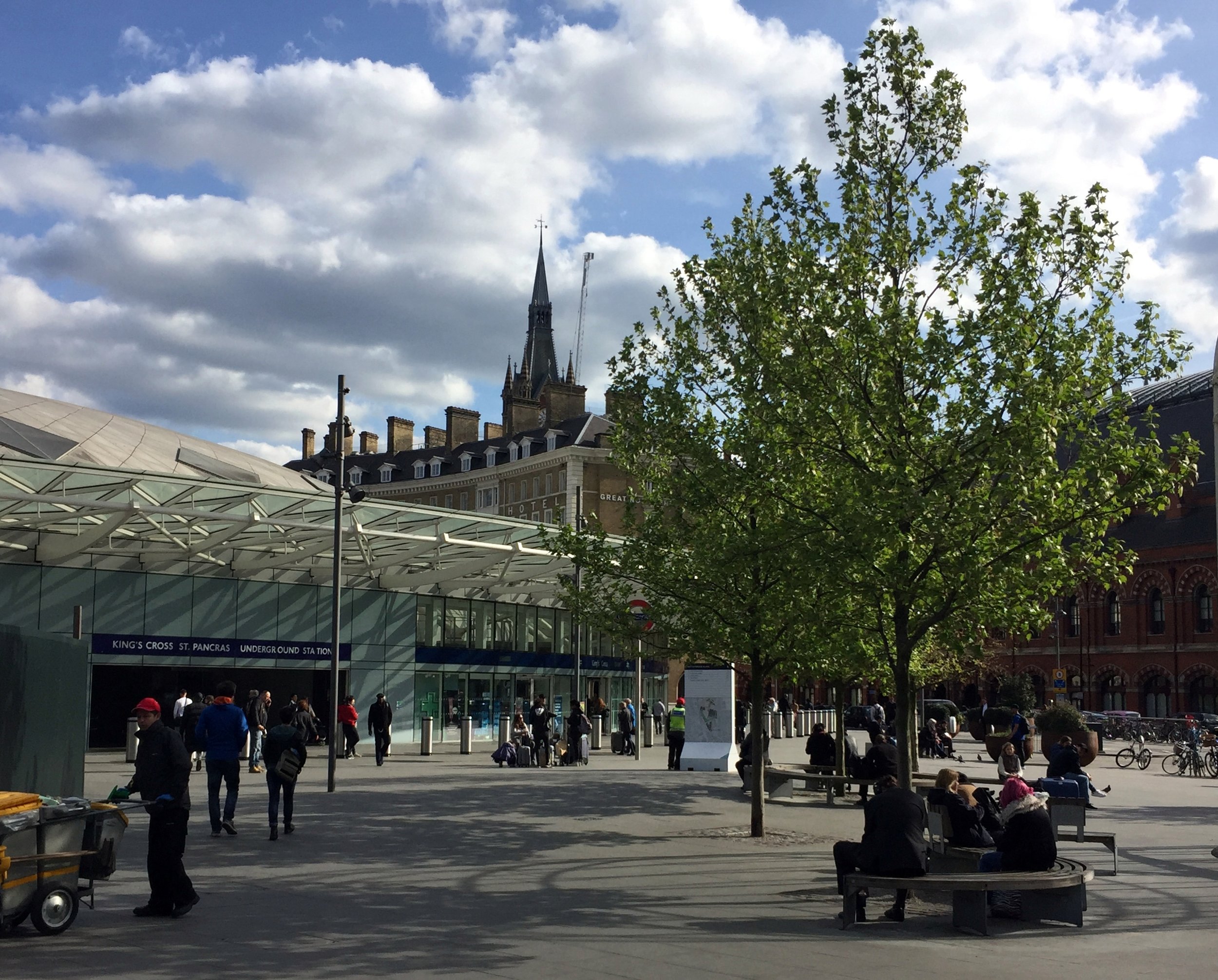
Start: East Croydon Station, Croydon CR0 1LF
Finish: Thames Path at Wandsworth, SW18 1EJ
Distance: 21.2 km (13.2 miles)
Elevation change: +55m / -117m. Net -62m
GPX File: get via Buy Me a Coffee
Other routes touched (walk): Vanguard Way, Wandle Oaks Link, Capital Ring, Thames Path
Other routes touched (cycle): NCN 20
Map: OS Explorer Map (161) London South, Westminster, Greenwich, Croydon, Esher & Twickenham
Guidebooks:
- London's Lost Rivers: A Walker's Guide by Tom Bolton
- London's Lost Rivers by Paul Talling
- London's Hidden Rivers: A walker's guide to the subterranean waterways of London by David Fathers
Links: River Wandle, Croydon, Carshalton, Morden Hall Park National Trust, Wandsworth
Just like last week's Lea River trip, this one started in a grim New Town and ended at the Thames in London. There may be be some pleasant parts of Croydon but they're not on the route of the Wandle.
I was following the river, along the course described in Tom Bolton's London's Lost Rivers. Unlike the other rivers described in the book, the Wandle is mostly still visible, the rest having been covered up and/or converted to sewers. Once you leave Croydon, its a very pleasant walk, run or cycle through some hidden parts of the capital.
The route starts at the 120 year old Swan and Sugarloaf at the south end of Croydon High Street. Once a historic pub and hotel, its now a Tesco Express in a dingy part of town. The river has been covered up in this area, so the best plan is to head north quickly. If you're not bothered about visiting the source, the Wandle car-park, slightly further up, is alternative place to start.
The Wandle becomes visible about half a mile in at the south-east corner of Wandle Park. The pleasant part of the trip only really starts at Waddon Ponds where the signs for the Wandle Trail begin.
The river meanders ~11 miles through parks and industrial areas before reaching the Thames at Wandsworth. In between there's Beddingon Park, Ravensbury Park and Morden Hall National Trust, amongst others as nice places to stop for a rest.
The confluence with the Thames is just north of Wandsworth centre. I've crossed the bridge several times on the Thames Path, not realising what it was. From here I picked up a Boris Bike (TFL Santander Cycle) just round the corner at Smuggler's Way and took a 6 mile route via the Thames Path to Victoria Station. Regular trains go from here to West Croydon.
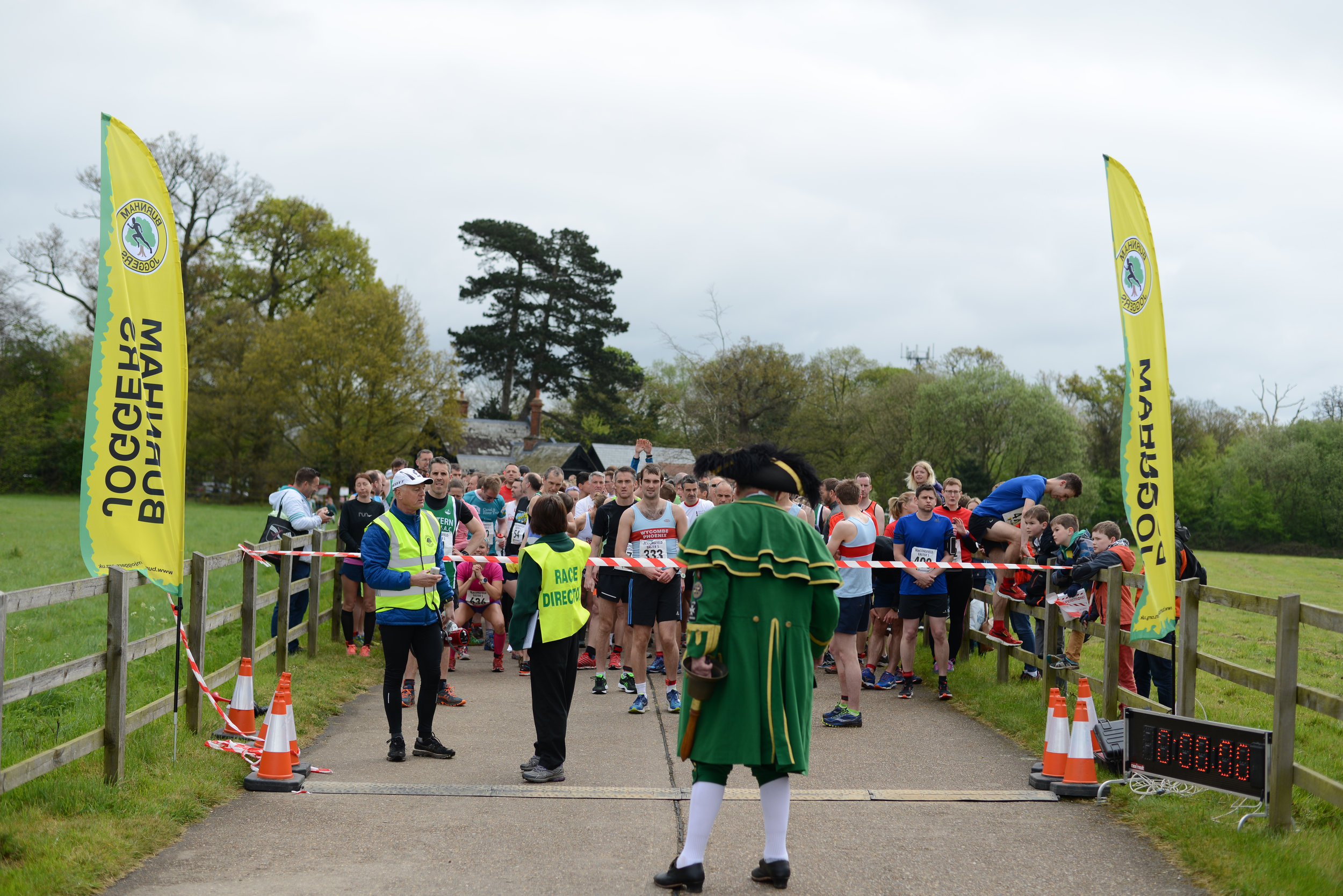
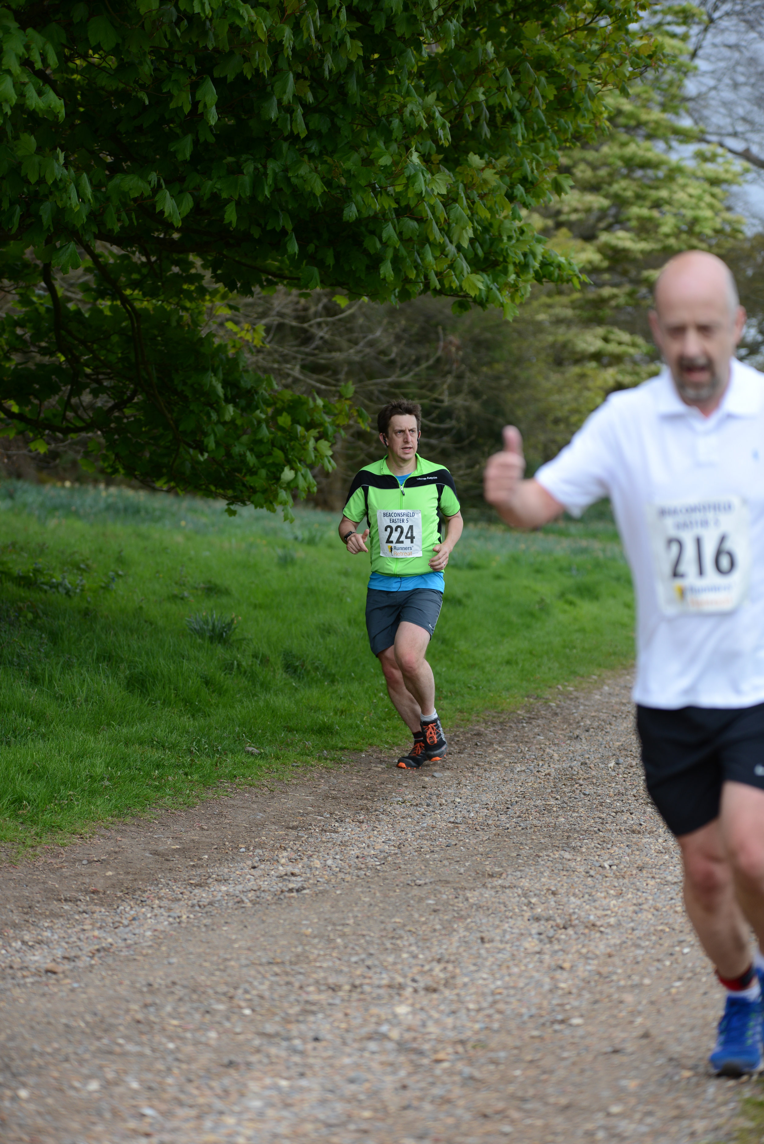
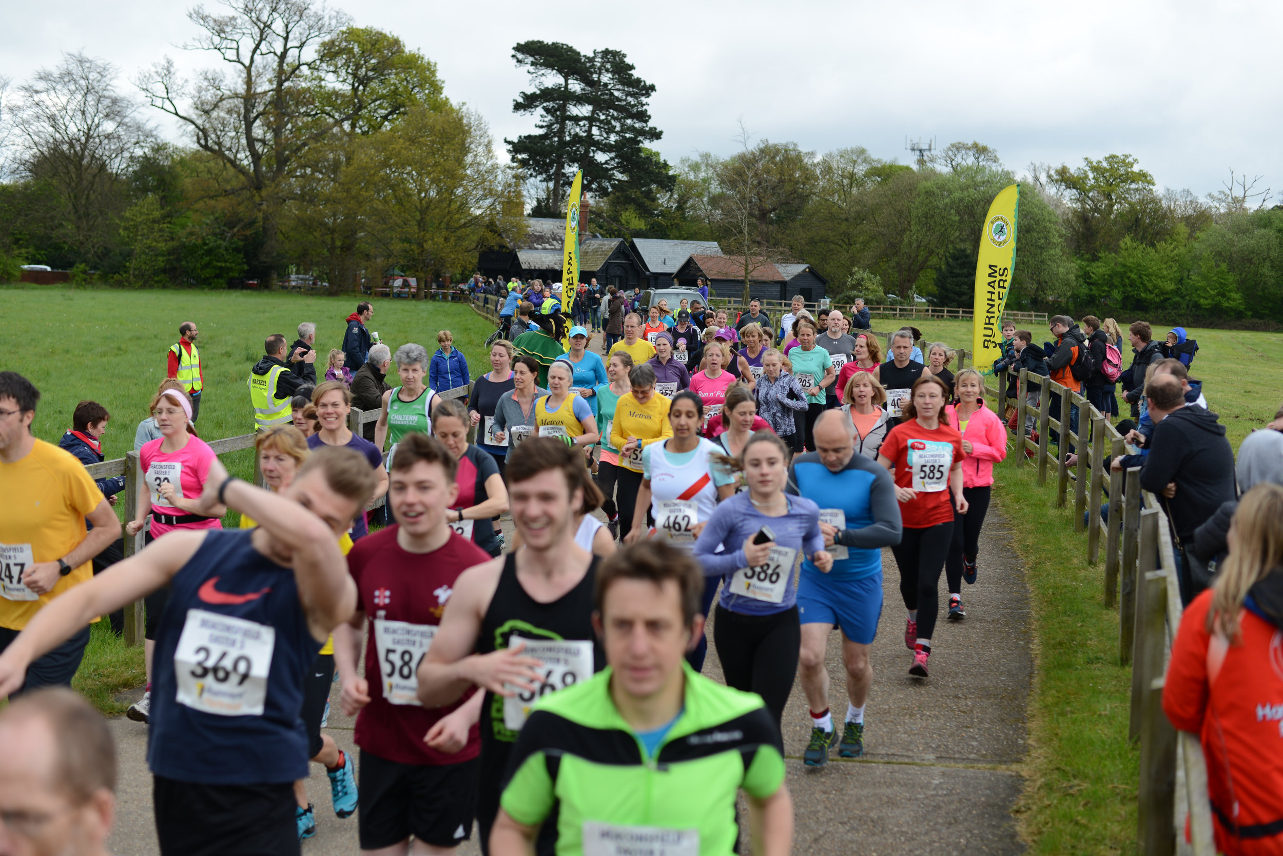
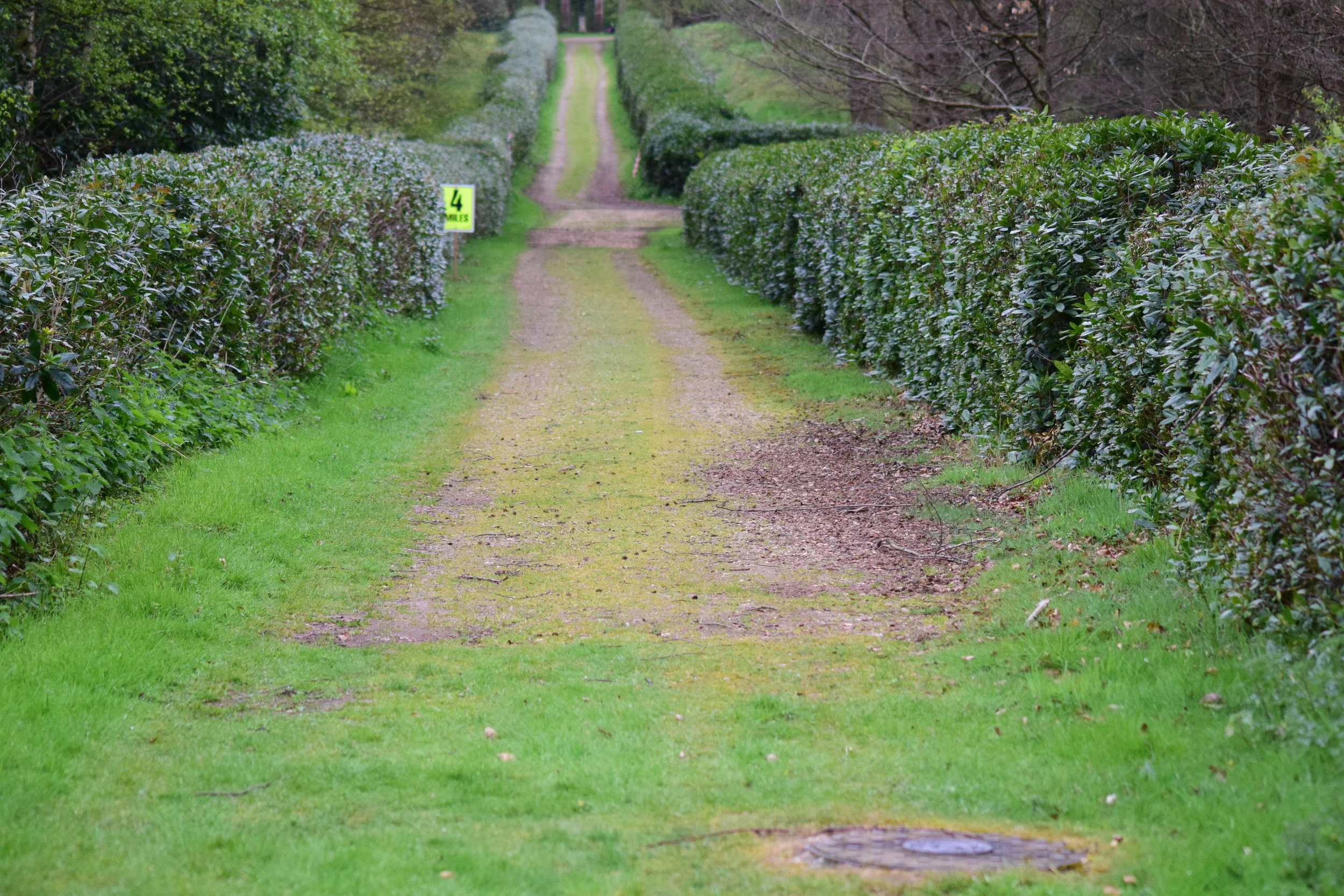
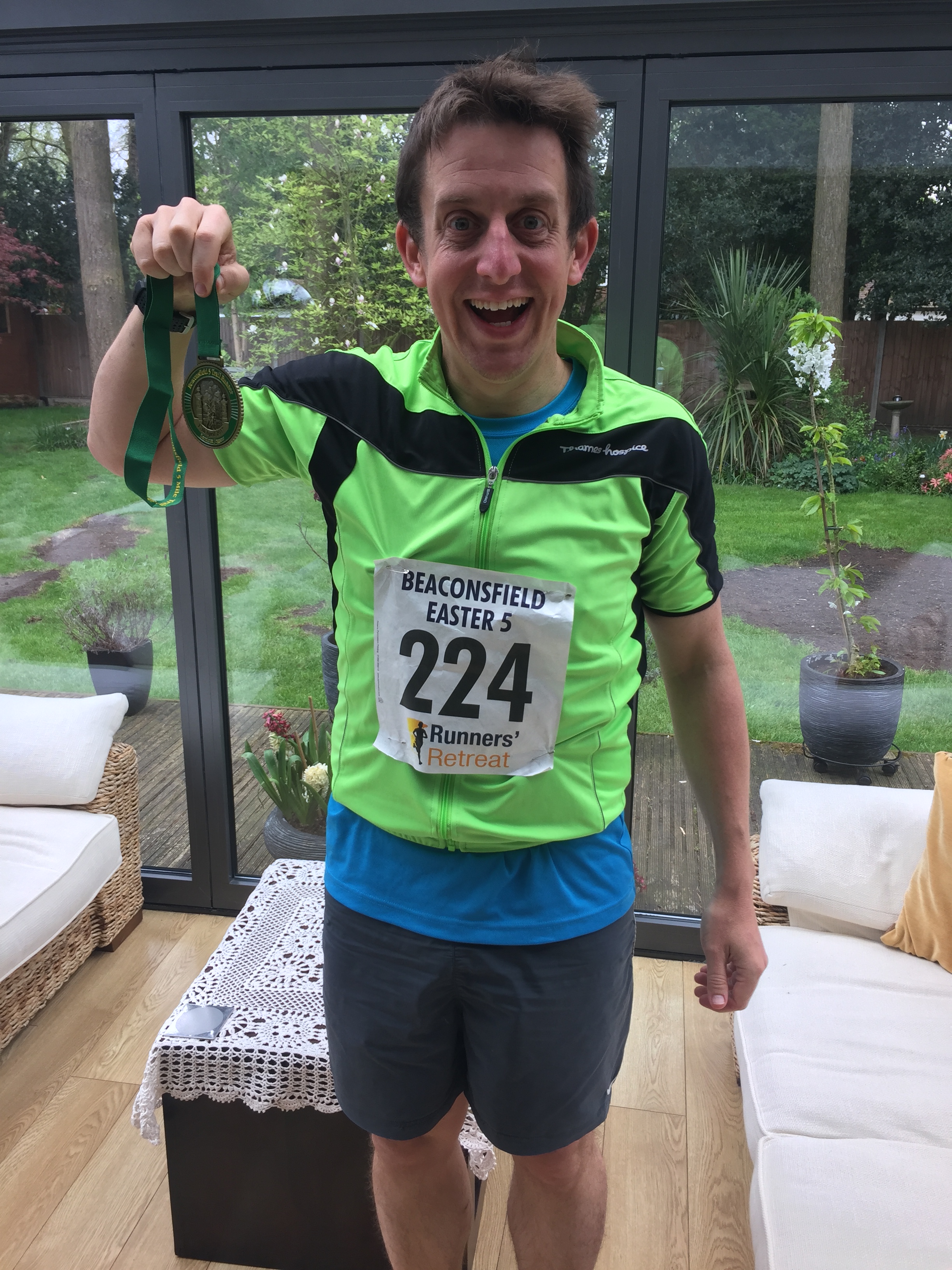
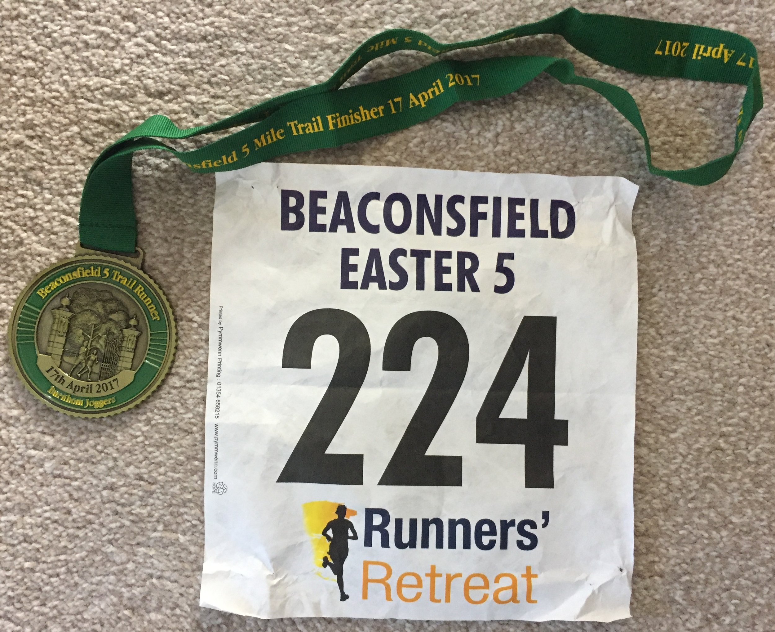
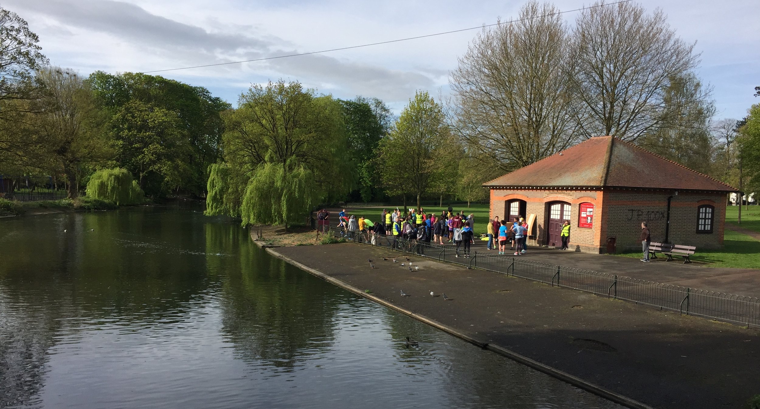
When: April 16th 2017
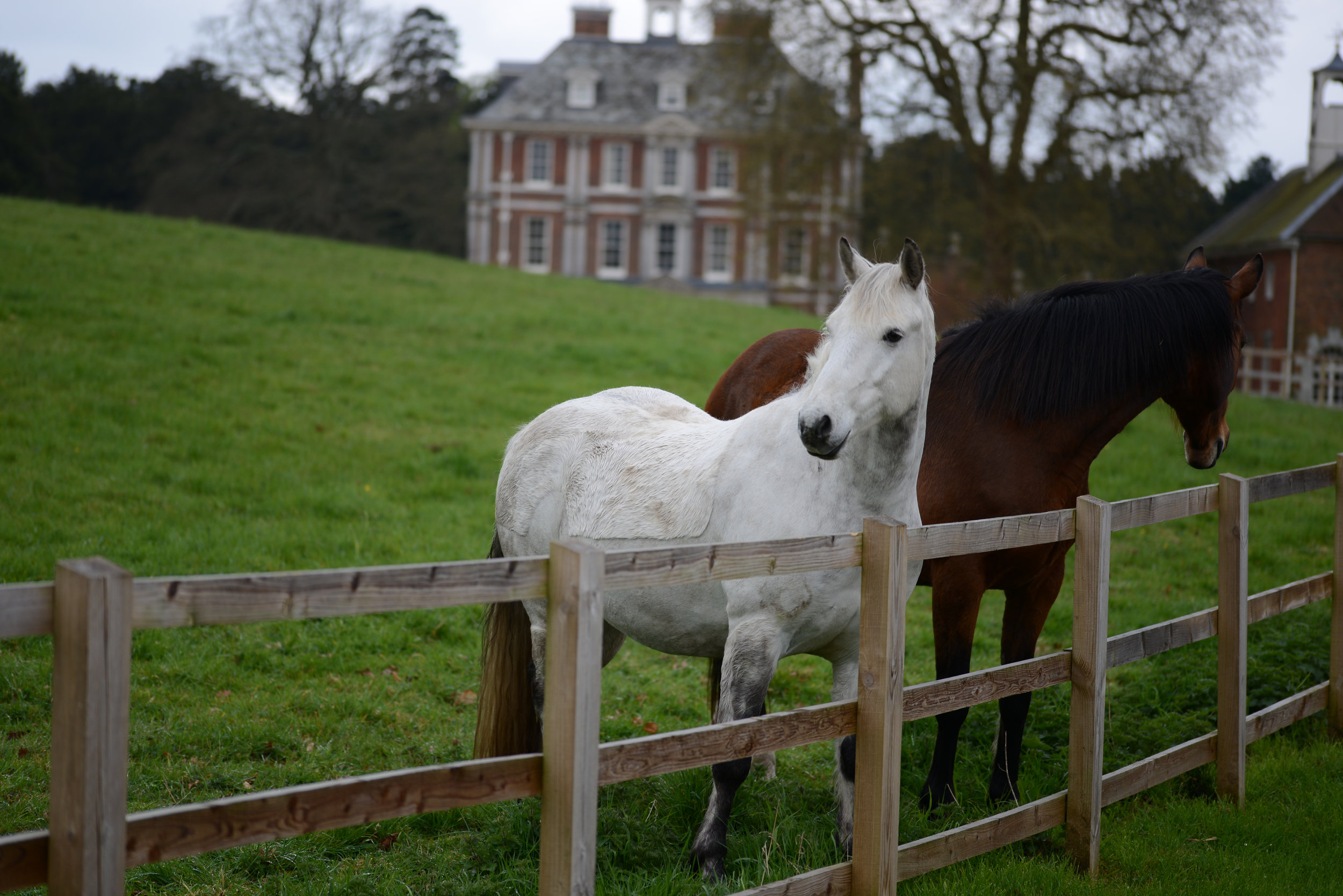
Where: Hall Place, Beaconsfield
Course: Start at Beaconsfield Rugby Club, then over the motorway for a circuit of Hall Place (normally closed to the public)
Other routes touched: None
Finish time: 44m
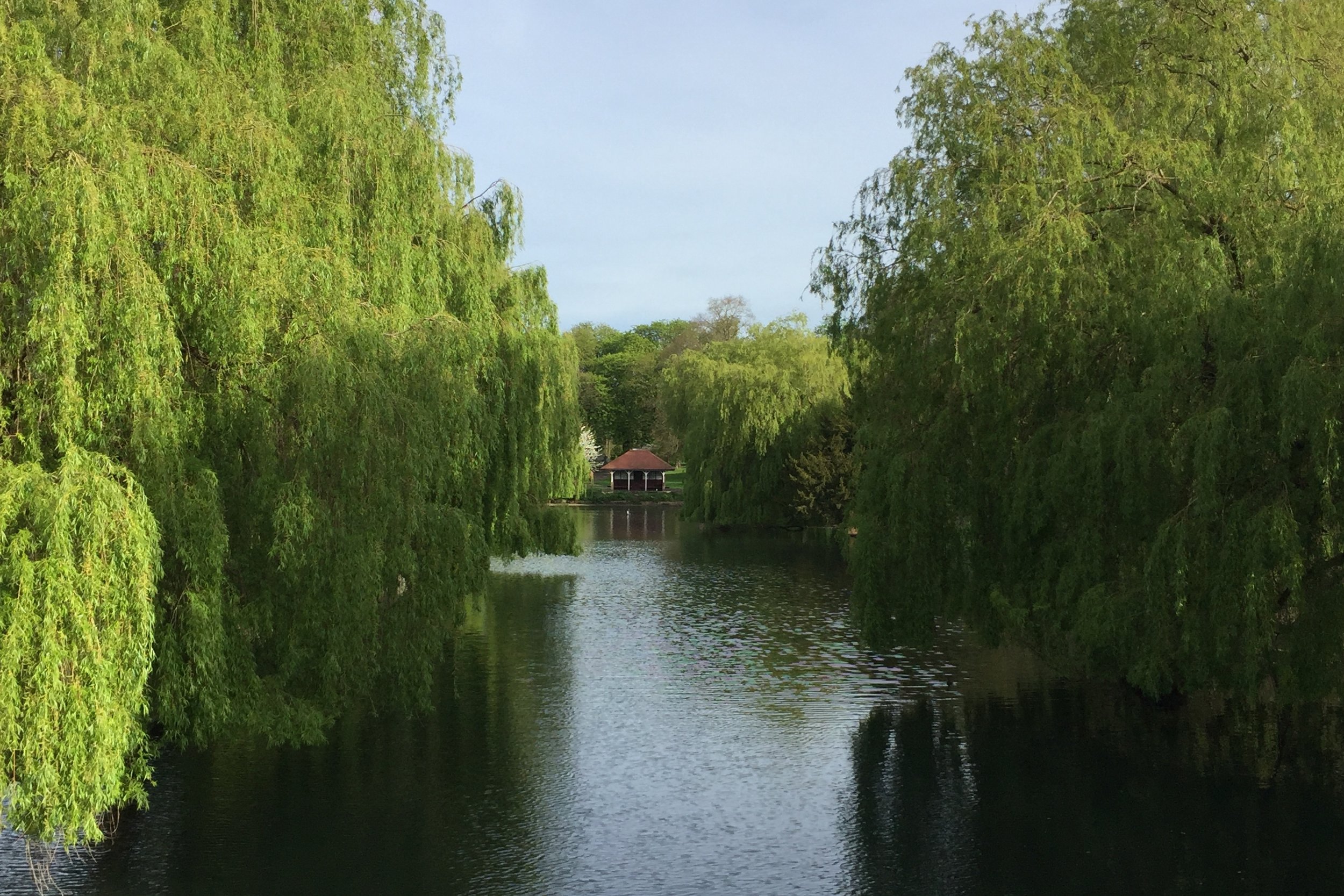
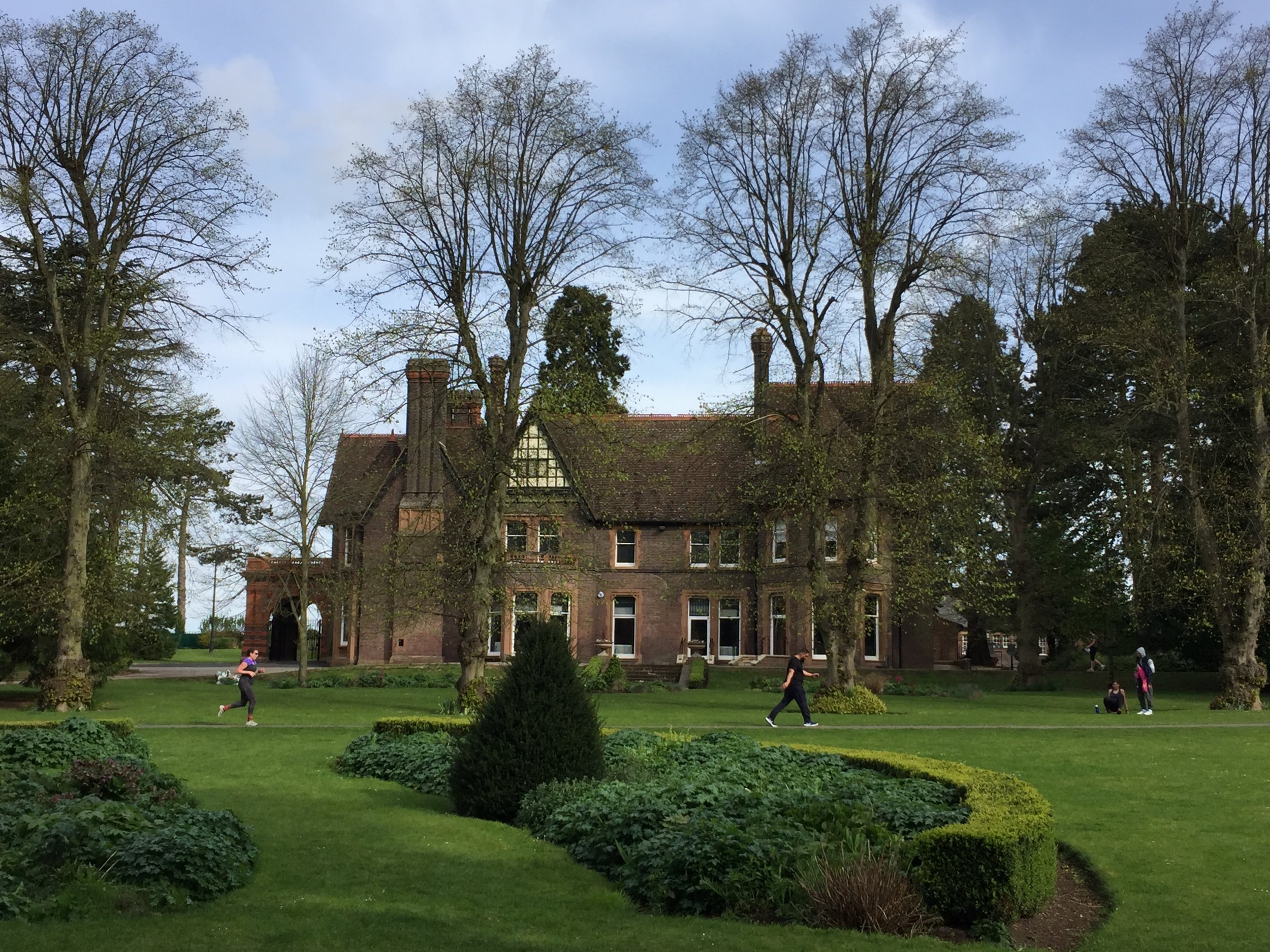
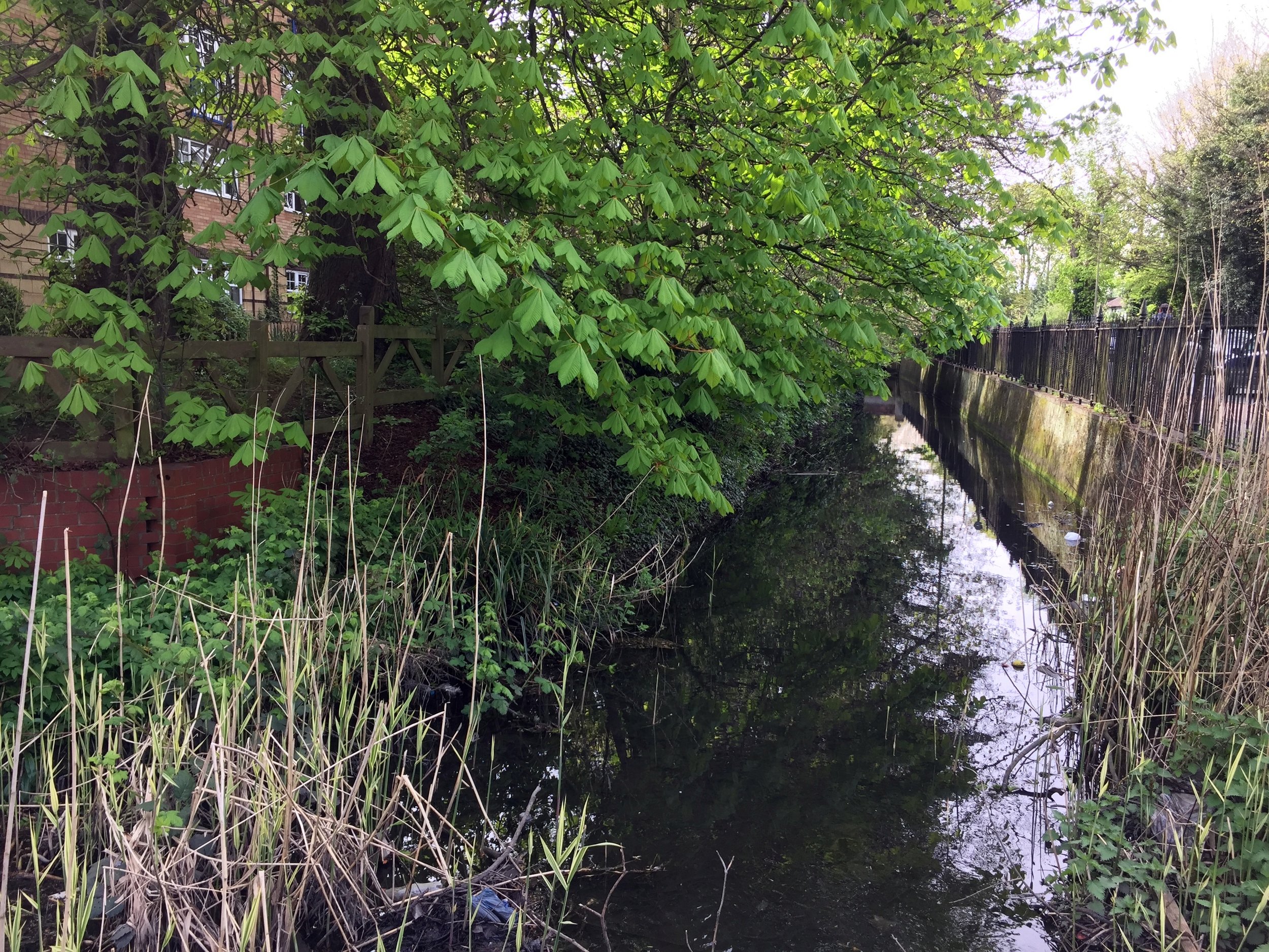
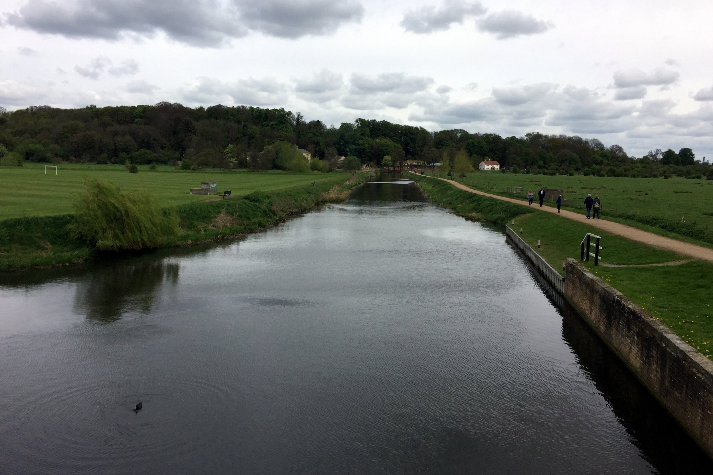
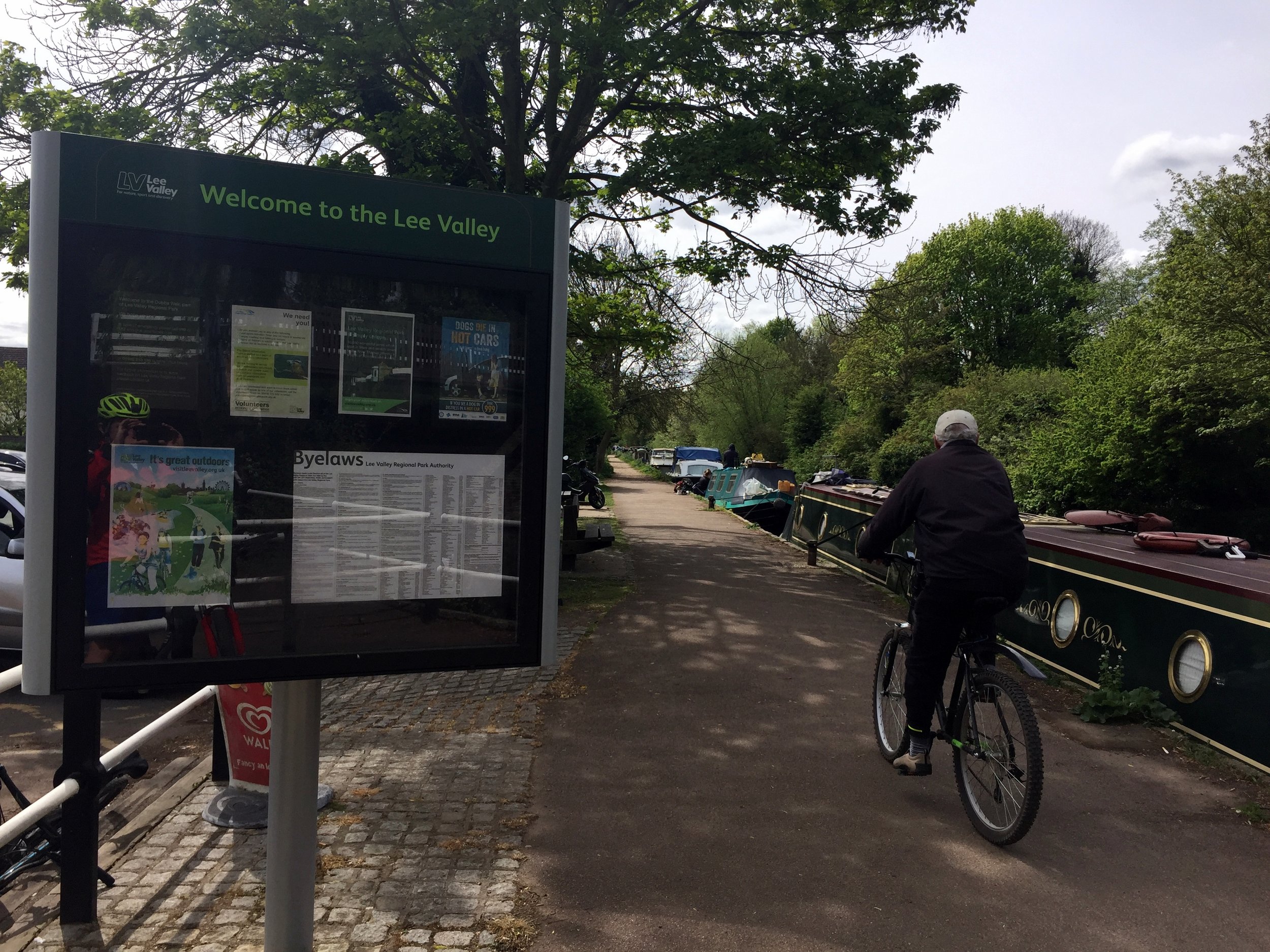
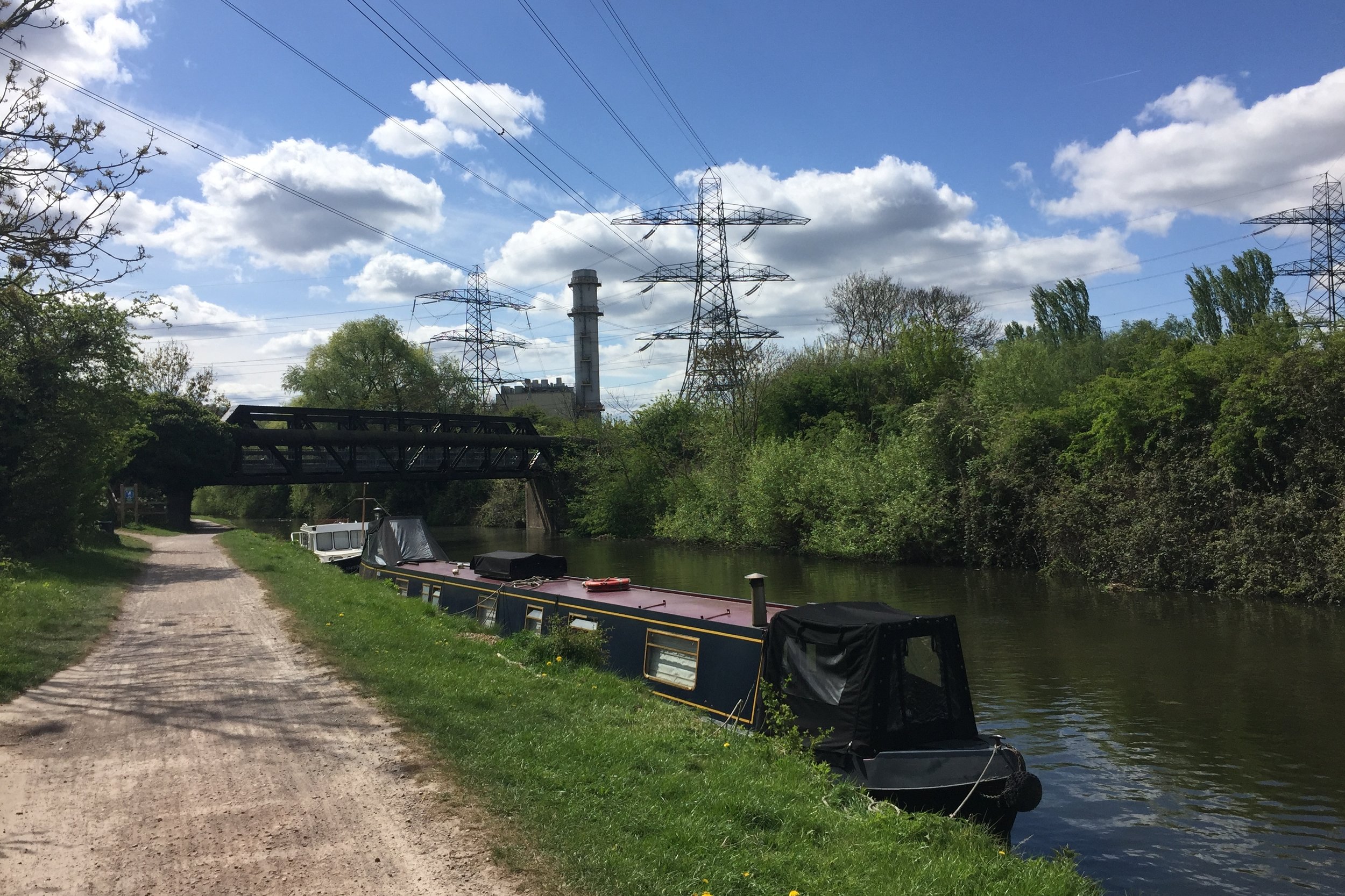
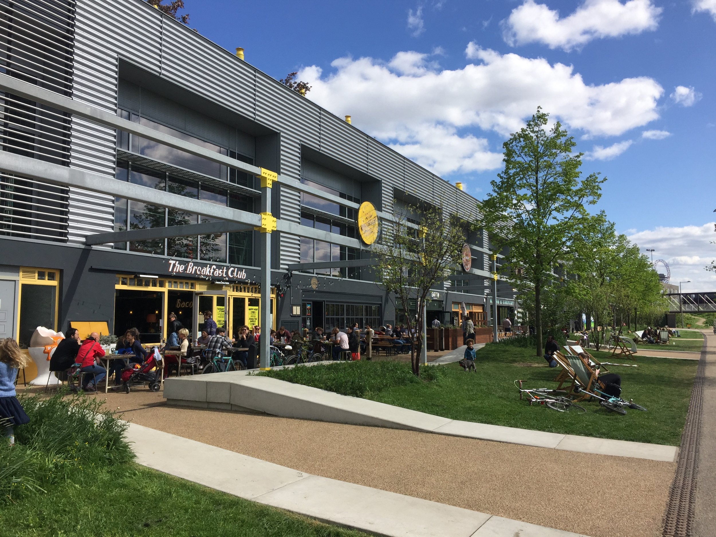
Near River Lee Country Park
Part of the Chiltern Rivers Series
River Lea start: Leagrave, Bedfordshire
River Lea end: Leamouth, Greater London
River Lea length: ~42 miles / 68 km
Cycle route start / end: Wardown Park, Luton, Bedfordshire
Cycle route length: ~58 miles / 94 km
Cycle route ascent: +420m / -507m
GPX File: get via Buy Me a Coffee
Other routes touched (walk): Lea Valley Walk, Chiltern Way, Hertfordshire Way, New River Path, Greenwich Meridian Trail, London Loop, Capital Ring, The Greenway, Jubilee Greenway, Regent’s Canal Towpath
Other routes touched (cycle): NCN Routes 1, 12, 57, 6, 61, Chilterns Cycleway, Ayot Greenway
Map: OS Explorer Map (193) Luton and Stevenage, OS Explorer Map (182) St. Albans and Hatfield, OS Explorer Map (174) Epping Forest & Lee Valley, OS Explorer Map (173) London North, The City, West End, Enfield, Ealing, Harrow & Watford
Links: River Lea, Leagrave, Luton, Lee Navigation, Limehouse Basin, Regent’s Canal
It was Easter Saturday and time to start proper training for July's Titanic Ireland cycle adventure. My cycling friends all opted out due to being "broken", "in Germany", "painting" or, strangely, "not fit enough to start training", so I was on my own for this one.
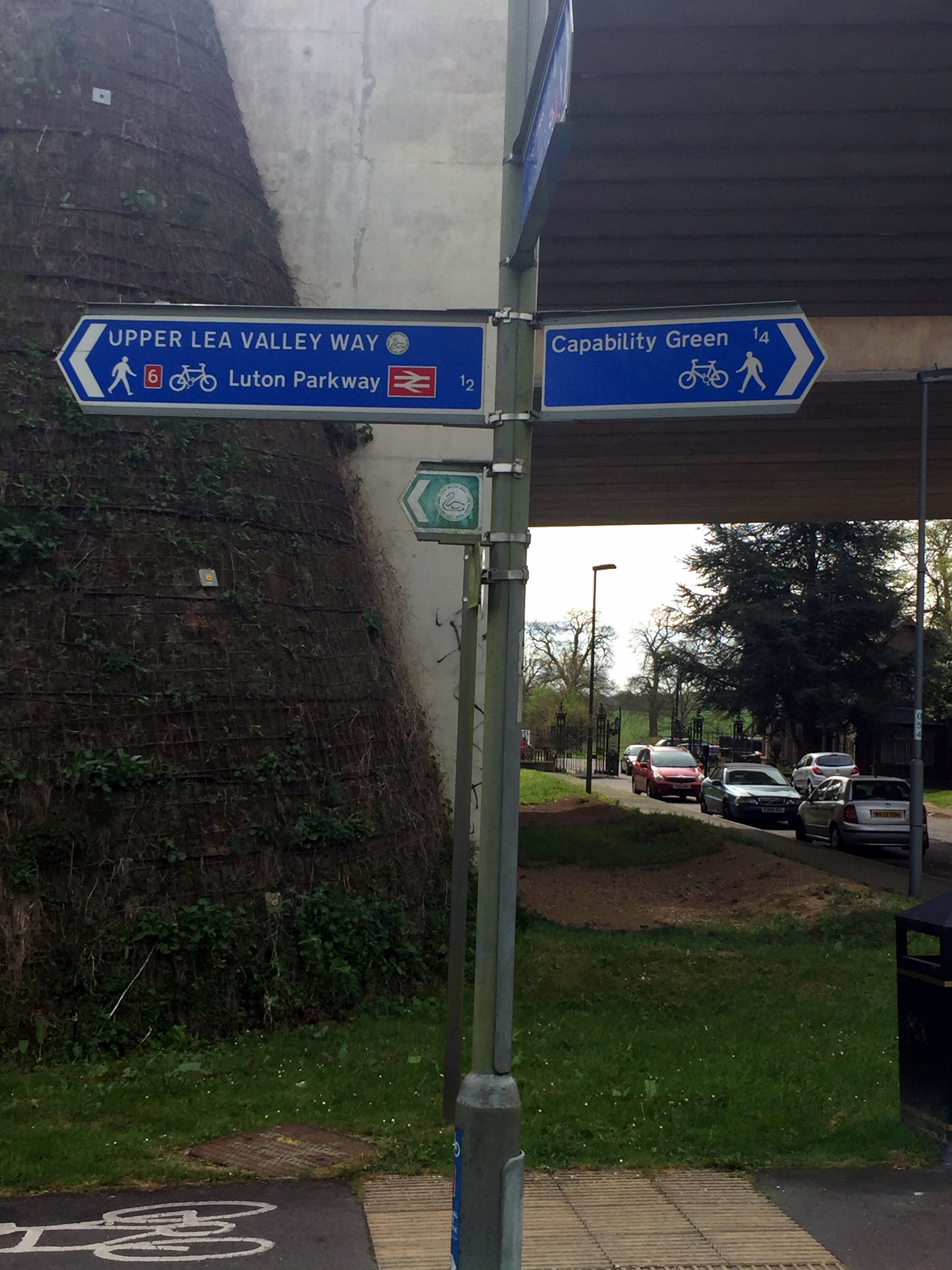
The route is a combination of National Cycle Routes (NCN), starting near the source of the Lea at Luton and ending at Limehouse Basin at the Thames in London. Getting back is easy enough as the Regent's canal takes you from the Basin to St Pancras station where there are frequent trains back to Luton.
The Lea starts in Leagrave, north of Luton. Although NCN 6 passes through it, I opted to start the trip 2.3 miles down at Wardown Park where the river fills a small lake. Its also the venue for Luton Wardown parkrun which, as it was Saturday, had to be done too. If I were to do the trip again I would start at the source as it’s very close to Leagrave Station which is on the same line to St Pancras. This additional section follows the Lea Valley Walk which is a footpath but there’s good options for cycling on nearby roads.
The trip is a nice combination of NCN routes 6, 57, 12, 61 and 1. It's easily navigable with only a small amount of planning and keeping your eyes out for signs along the way. The first 22 miles to Hertford is mostly disused post-Beeching railway lines, with the remainder following the Lea Navigation Canal.
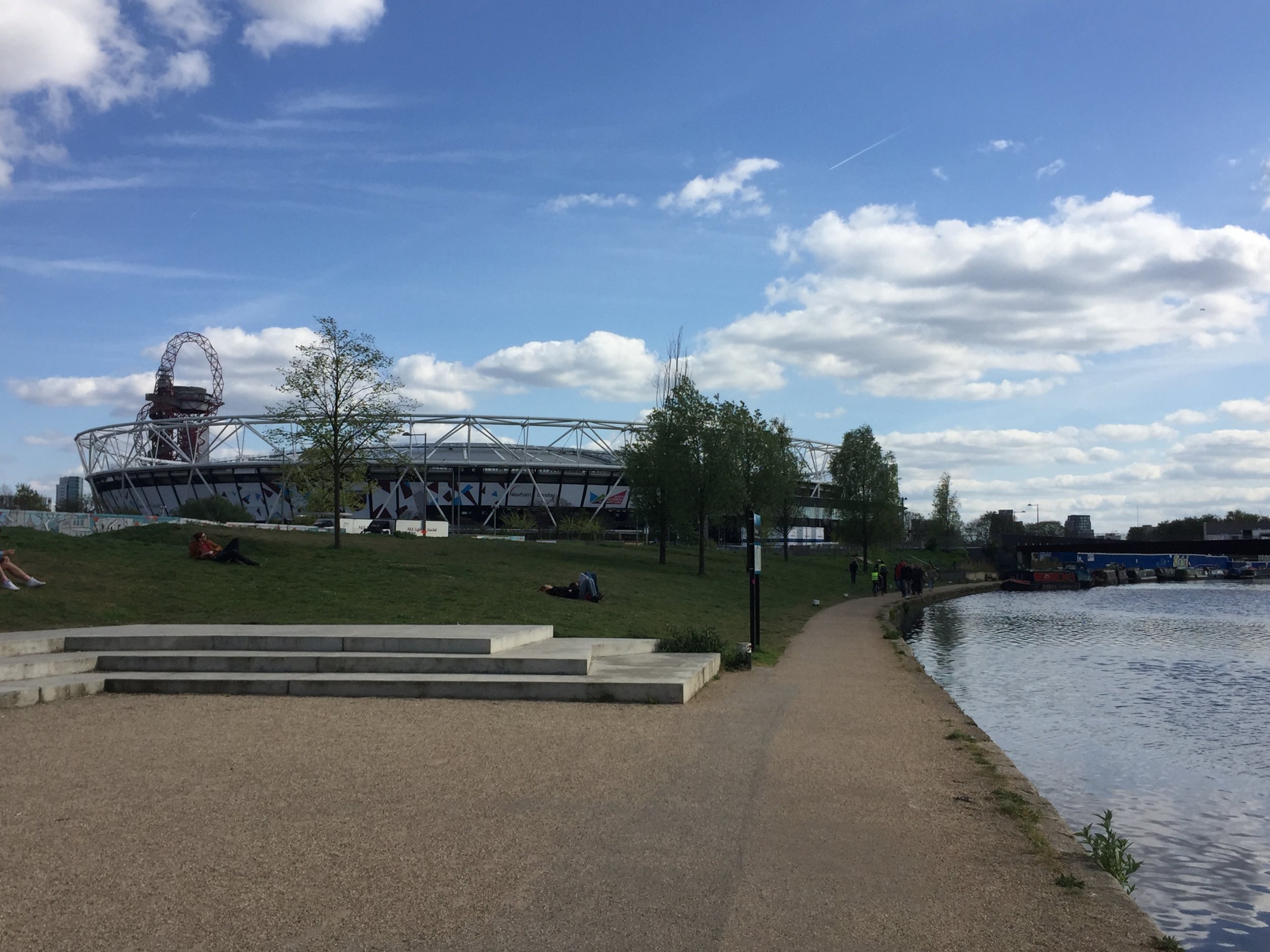
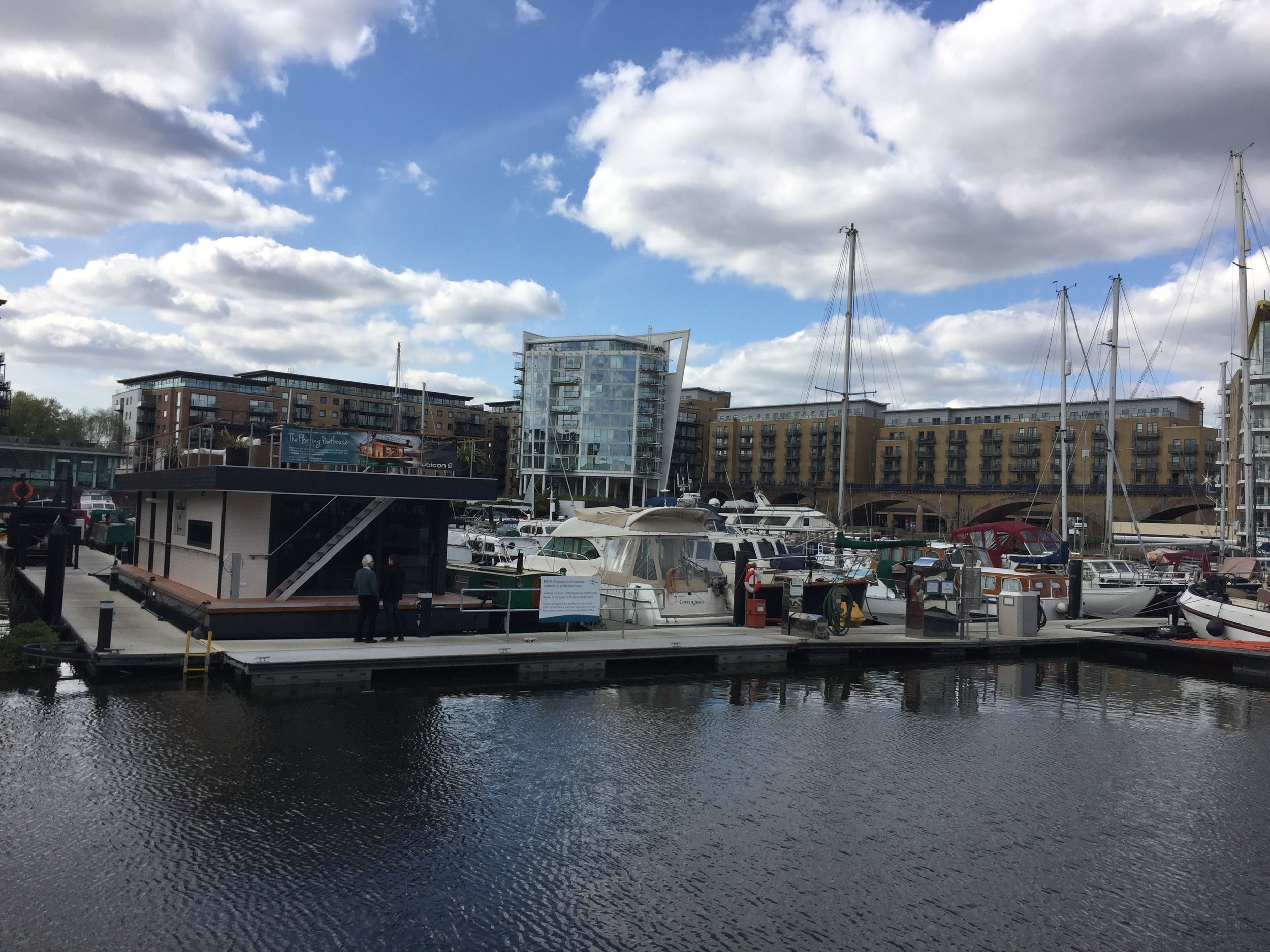
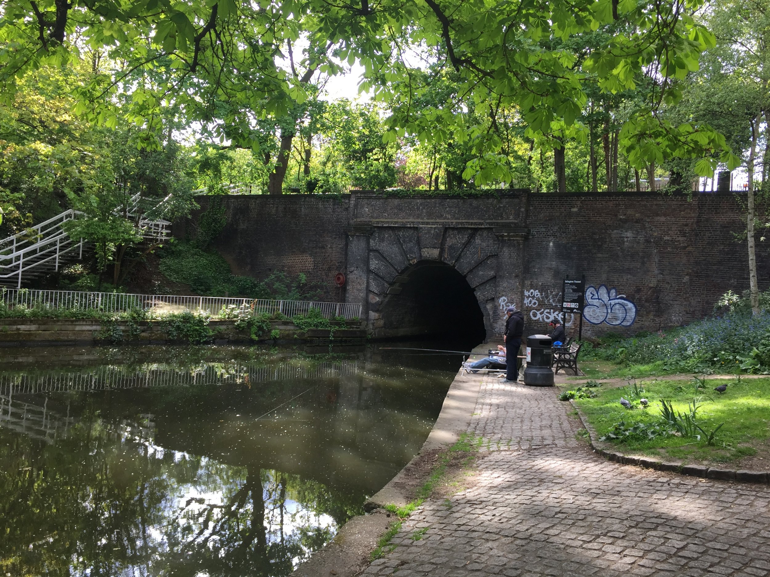
The River Lea joins the Thames near Canning Town, opposite the Greenwich Peninsula. Cycling right to the confluence is tricky so I opted to follow the Limehouse Cut from Bow Creek to the Limehouse Basin. From there I followed the Regent’s Canal back to King’s Cross station to get the train back to Luton where I had parked my car.
Red = course of the River Lea, Blue = Cycle Route including Regent’s Canal to King’s Cross.
Elevation for cycle route
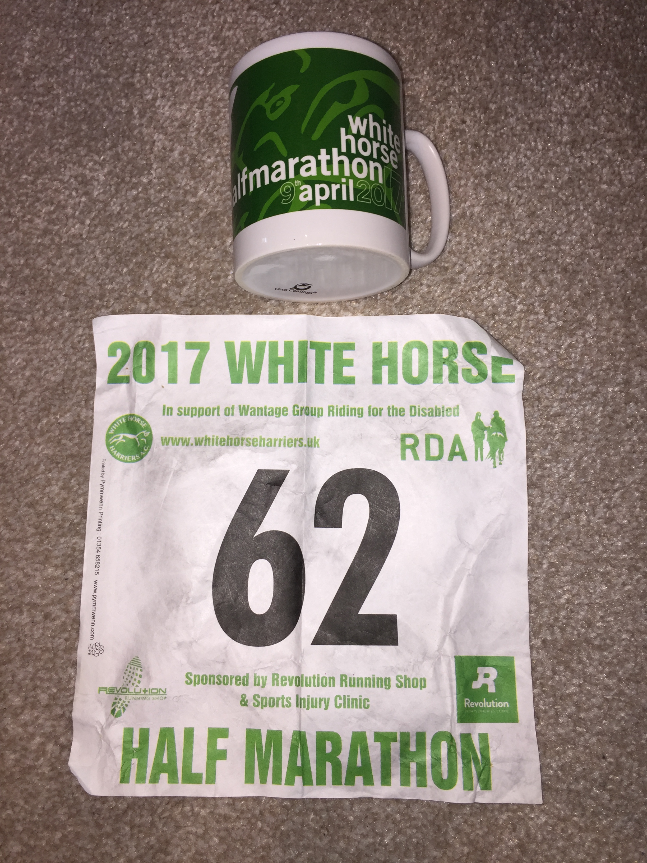
When: April 9th 2017
Where: Grove, Oxfordshire, UK
Course: Mostly flat country roads around Grove, Denchworth, Lyford, Charney Bassett and Goosey
Other routes touched: None
Finish time: 2:10 ... Hot and slow!
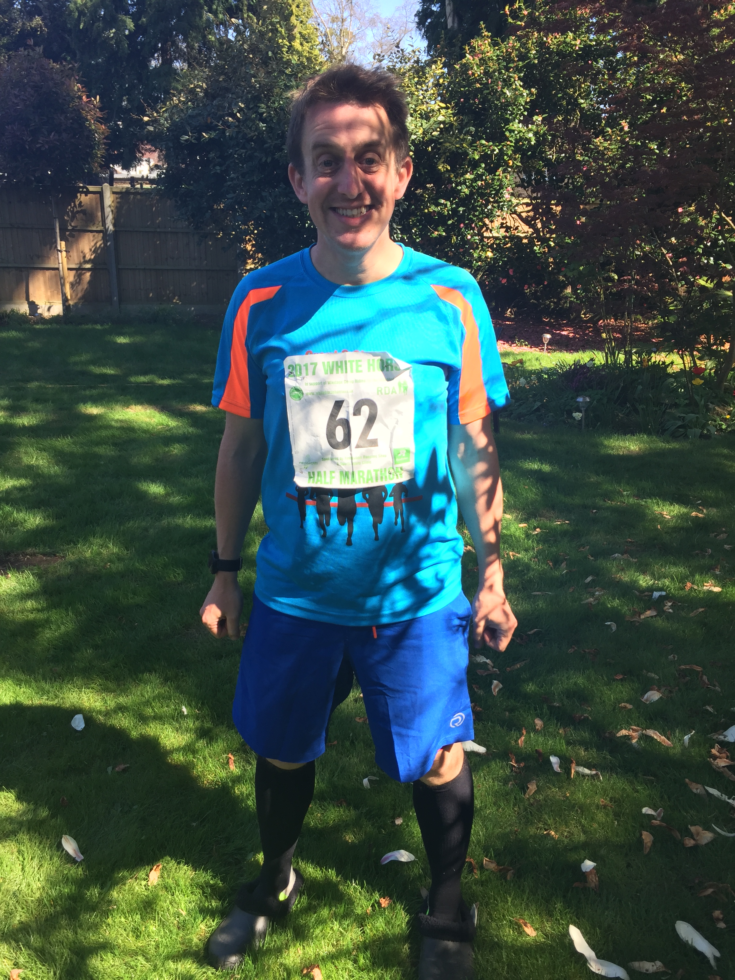
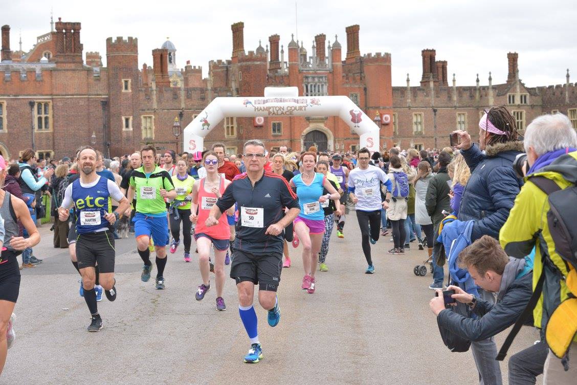
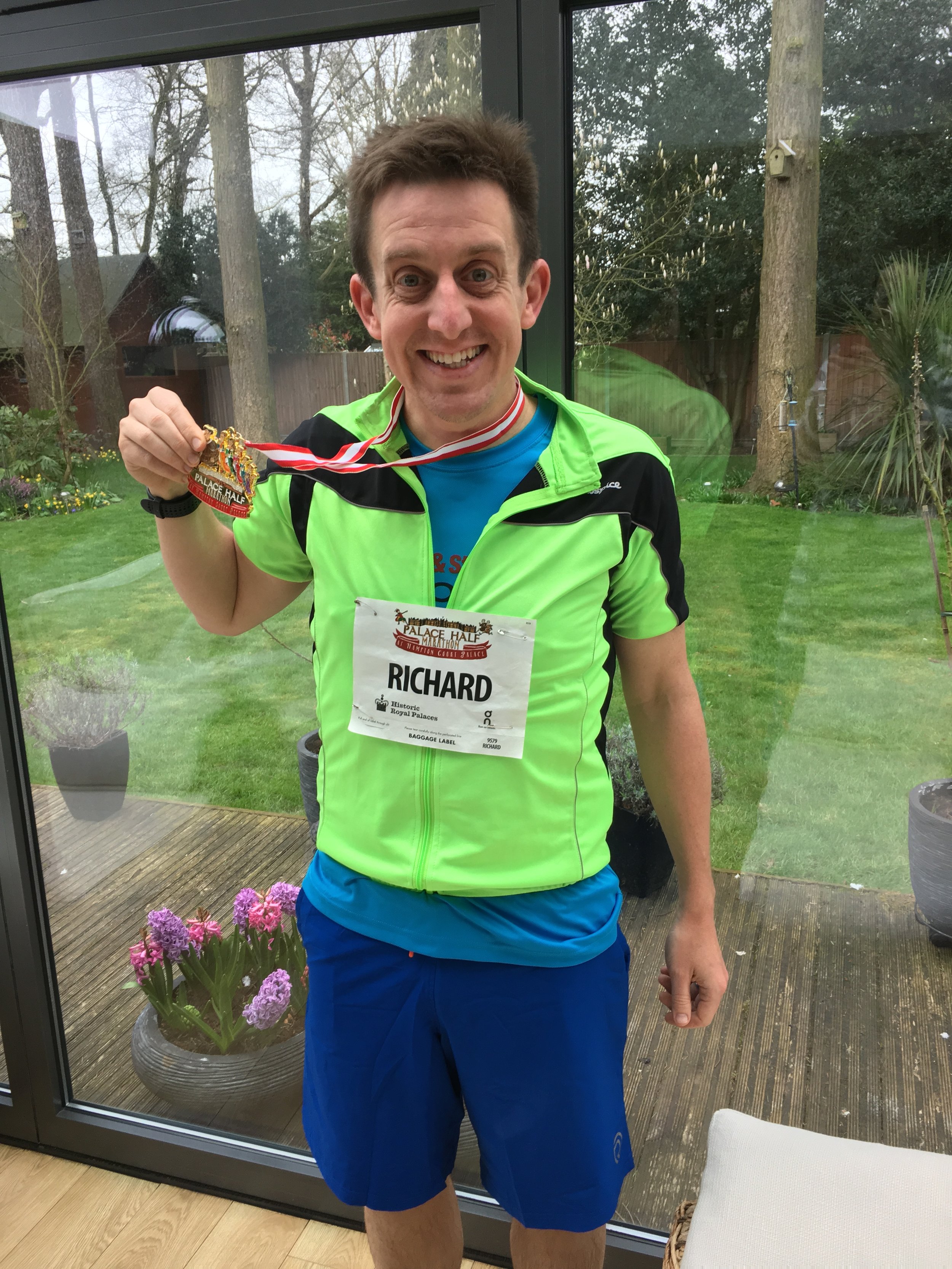
When: March 19th 2017
Where: Hampton Court Palace, Surrey, UK
Course: Thames Path between Hampton Court and Kingston, on road to Thames Ditton, off road through Hampton Court Golf Club
Other routes touched (walk): Thames Path
Other routes touched (cycle): NCN 4
Finish time: 1:57
When: March 12th 2017
Where: Bledlow Ridge, Chiltern Hills, UK
Course: Very hilly, muddy off-road course following some of the Ridgeway
Other routes touched (walk): Chiltern Way, The Ridgeway, Midshires Way,
Other routes touched (cycle): Chilterns Cycleway
Finish time: 2:46 (slow!)
When: March 11th 2017
Where: Black Park, Buckinghamshire
Course: 2 laps of Black Park, home of the Black Park parkrun. Done at night with headtorches
Other routes touched (walk): Beeches Way
Other routes touched (cycle): None
Finish time: 54m
