Cycling the Staines to Denham Disused Railways

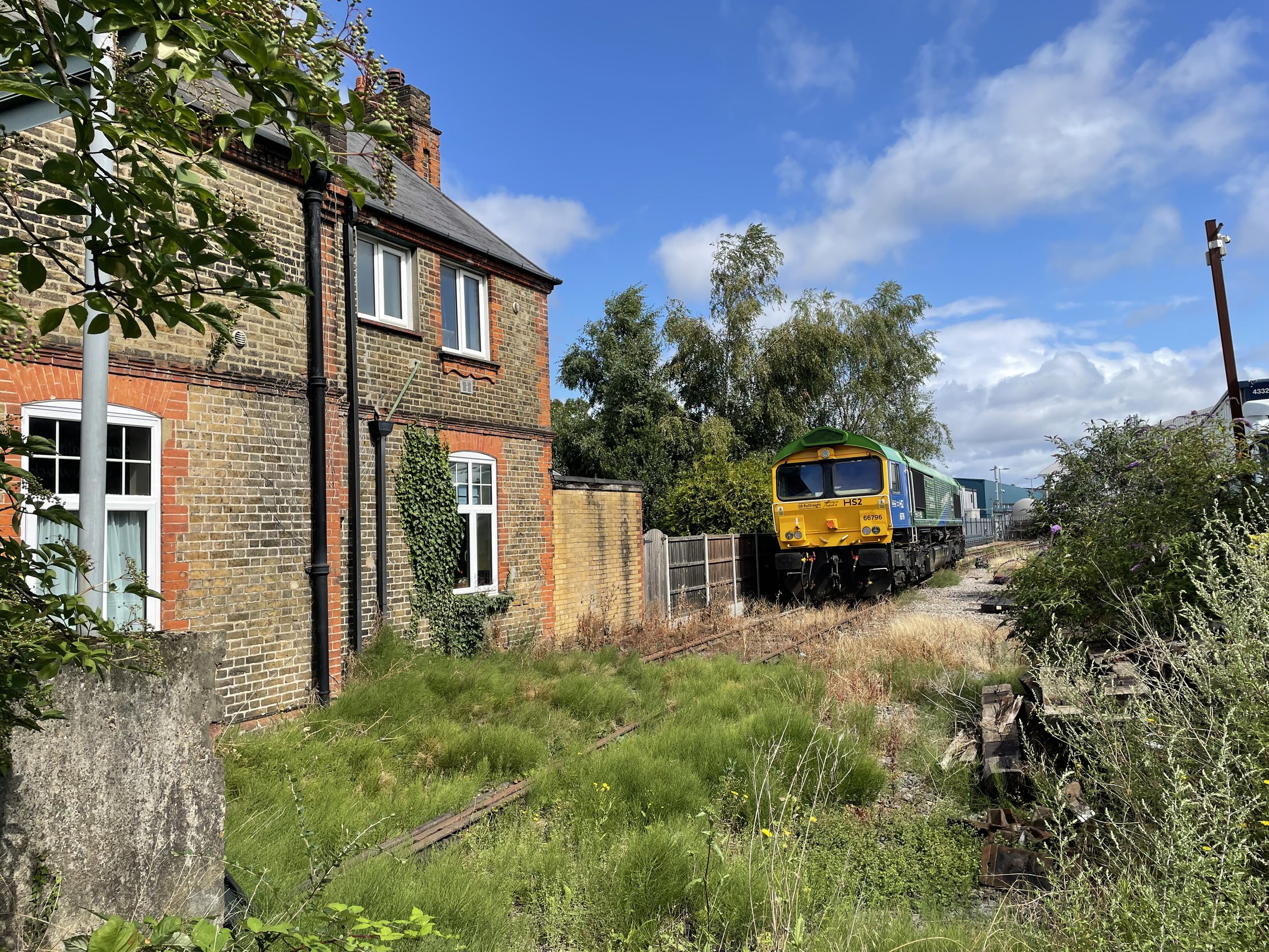
HS2 train parked up at Colnbrook Station


Start / Finish: Site of Staines West Station: The Old Station, Moor Lane, Staines, TW18 4BB
Distance: 22.9 km (14.2 miles)
Elevation: + 99m / -67m. Net +22m
GPX File: get via Buy Me a Coffee
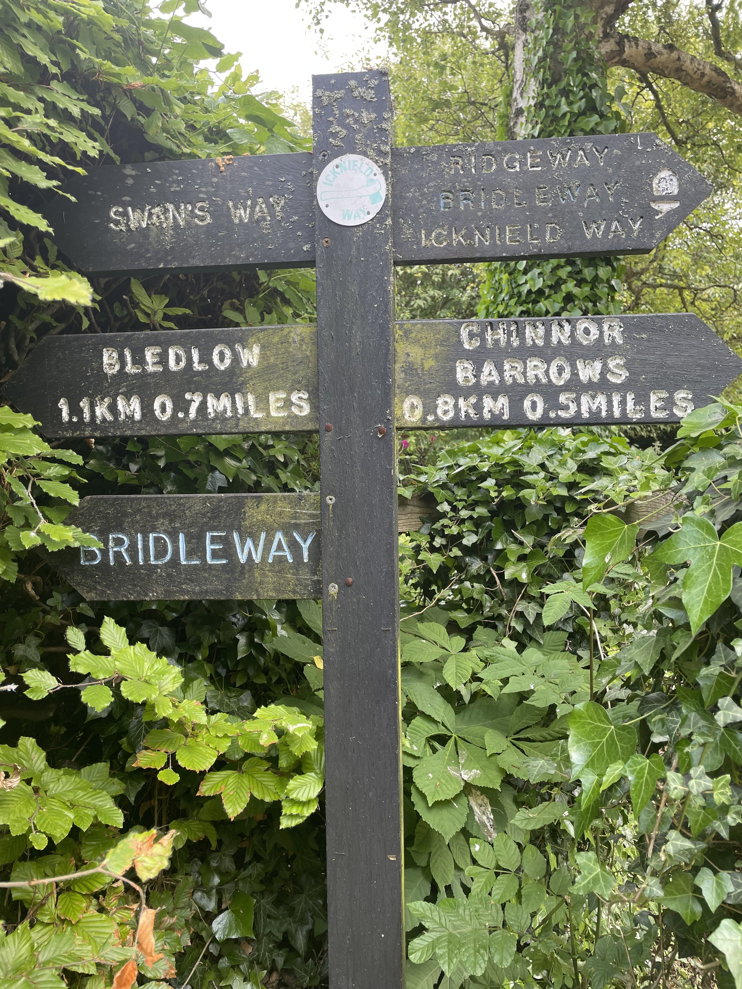
Other Routes Touched (walk): Colne Valley Way, London Loop, Shakespeare’s Way, Celandine Route, South Bucks Way
Other Routes Touched (cycle): Grand Union Canal Towpath, NCN 6, 61
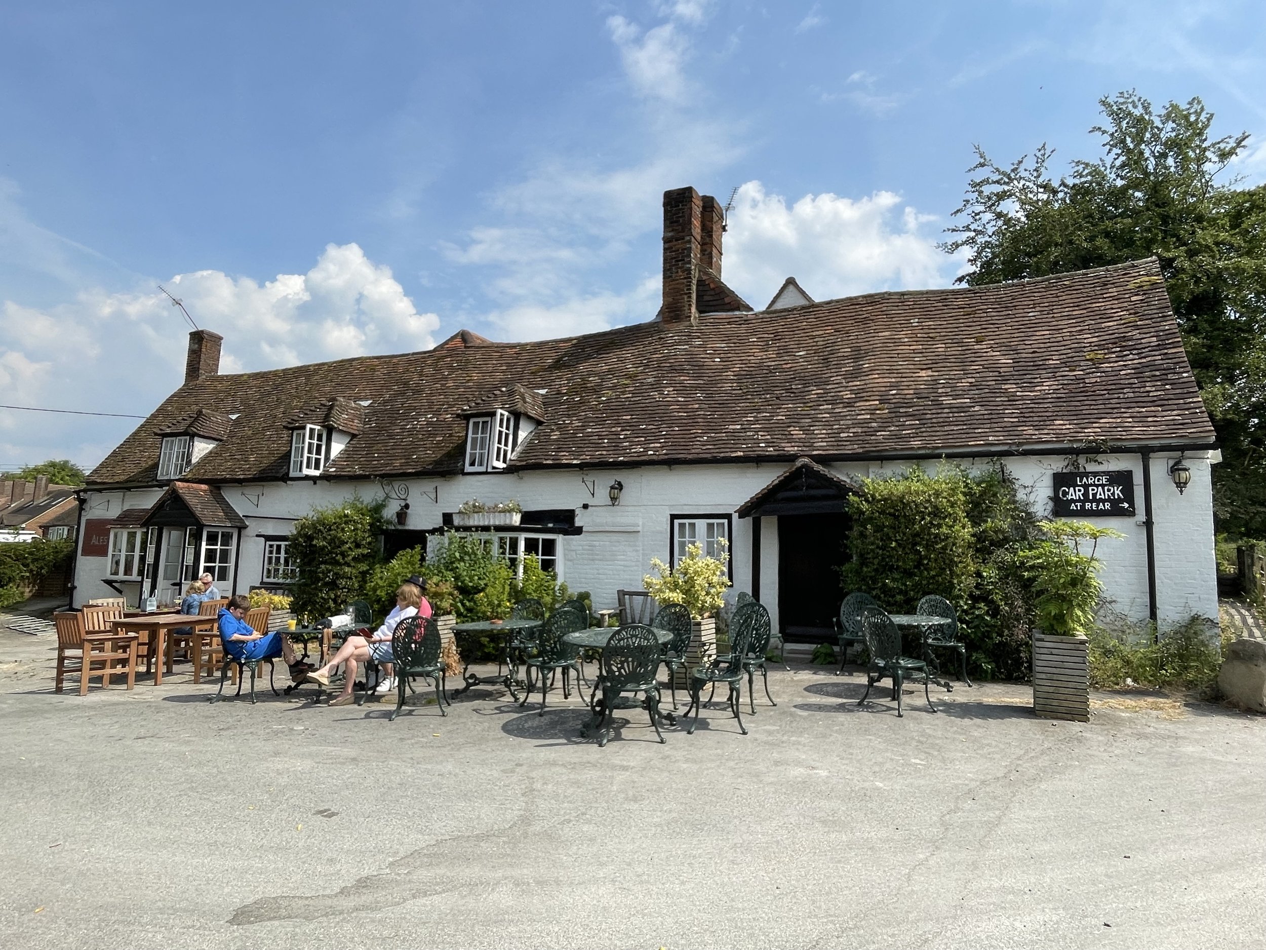
Pubs / Cafes on route: Fat Boys Cafe, Colnbrook (7.8k in), Several as you pass through West Drayton and Yiewsley (~14 km in), Swan and Bottle pub, Uxbridge (18.8k in), Colne Valley Cafe (21 km in)
Maps:
- Windsor, Weybridge & Bracknell Map | Thames Path | Ordnance Survey | OS Explorer Map 160
- Chiltern Hills East Map | High Wycombe, Maidenshead & Rickmansworth | Ordnance Survey | OS Explorer Map 172
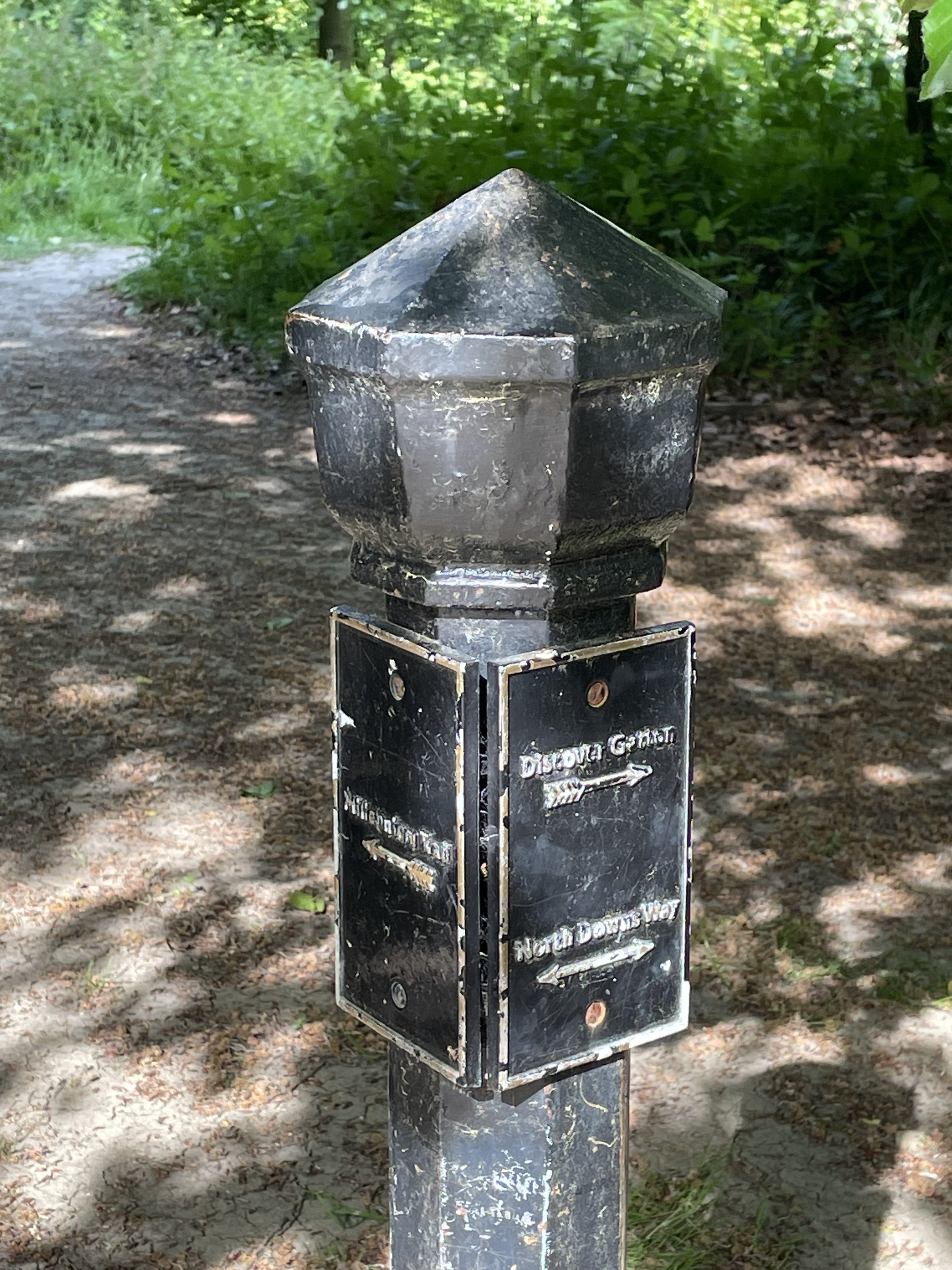
Links: Staines-upon-Thames, Staines Moor, Stanwell Moor, Poyle, Colnbrook, Harmondsworth Moor, West Drayton, Yiewsley, Cowley, Uxbridge, Denham, Colne Valley Regional Park


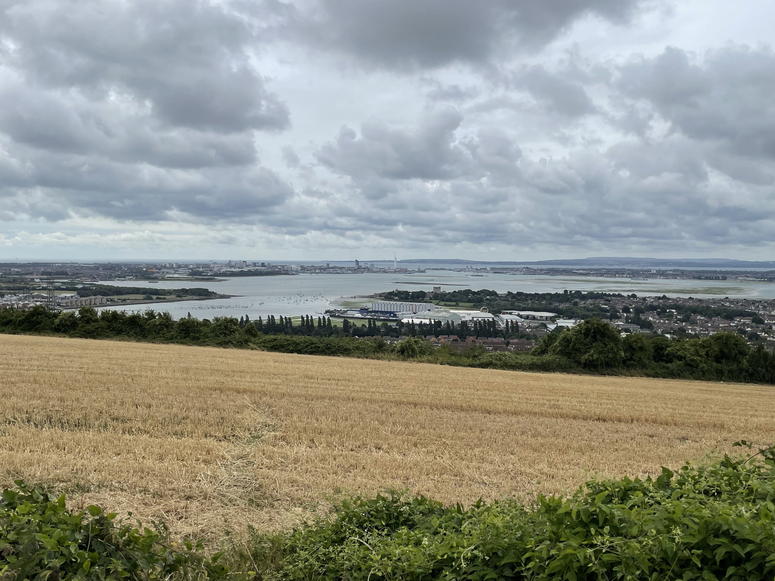
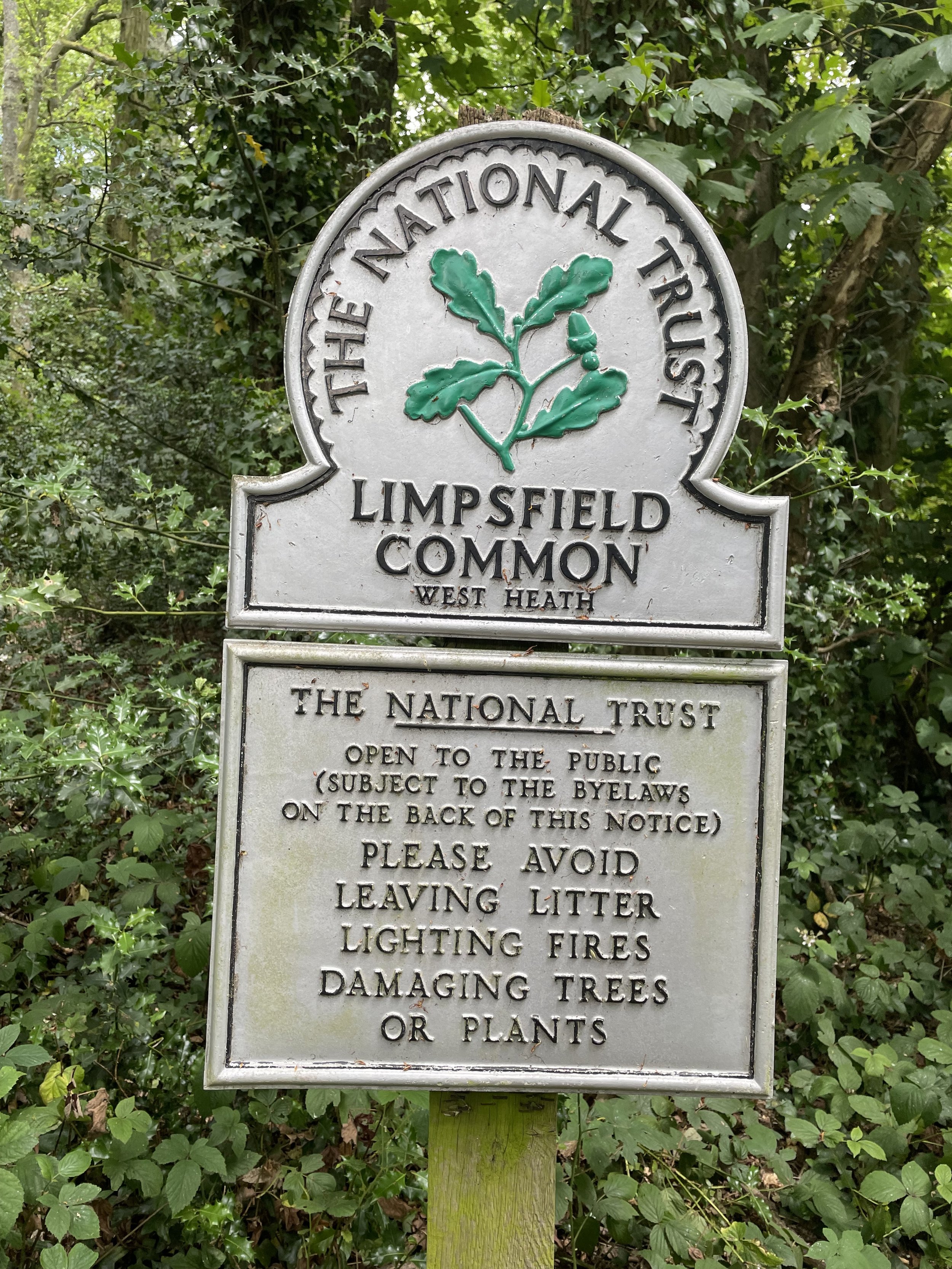
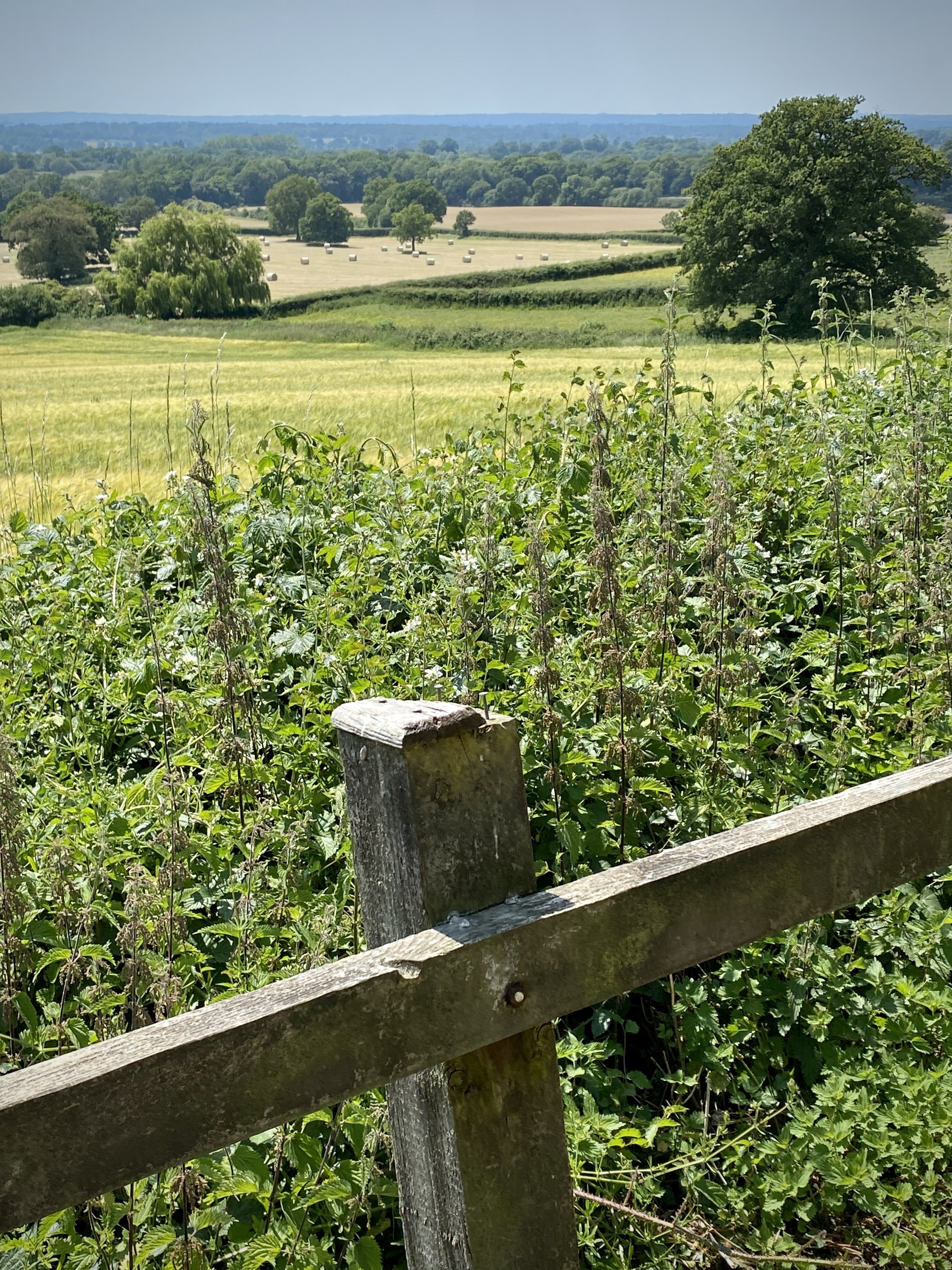
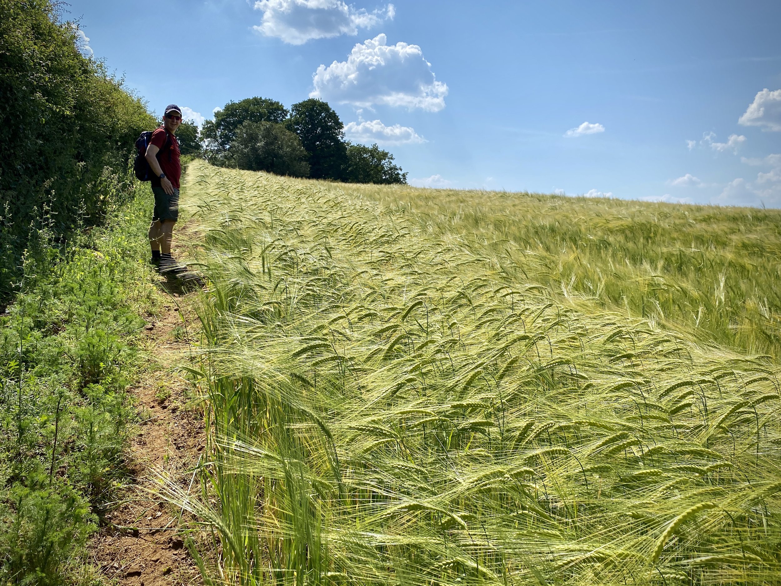
This is a short cycle adventure inspired by 3 of Geoff Marshall’s London’s Lost Railways videos. It traces 3 separate disused railways that ran from Staines in Surrey to Denham in Buckinghamshire. Much of the route travels through the Colne Valley Regional Park, an interesting mix of countryside, industry and transport links on the western edge of Greater London. I cycled this route as a part of a 100 km circular tour of the Colne Valley, Chiltern Hills, South Bucks and Windsor. There’s a mix of road and off-road sections so it’s best to take a mountain bike or similar.

Check out Geoff’s videos for each section of the route for more detail on each of the lines and stations.


Line 1: Staines West to West Drayton

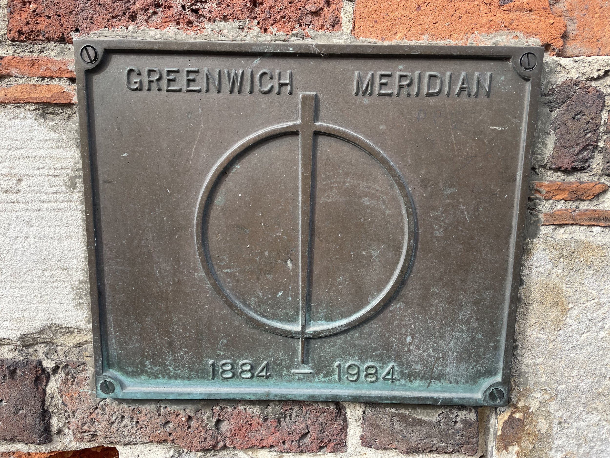
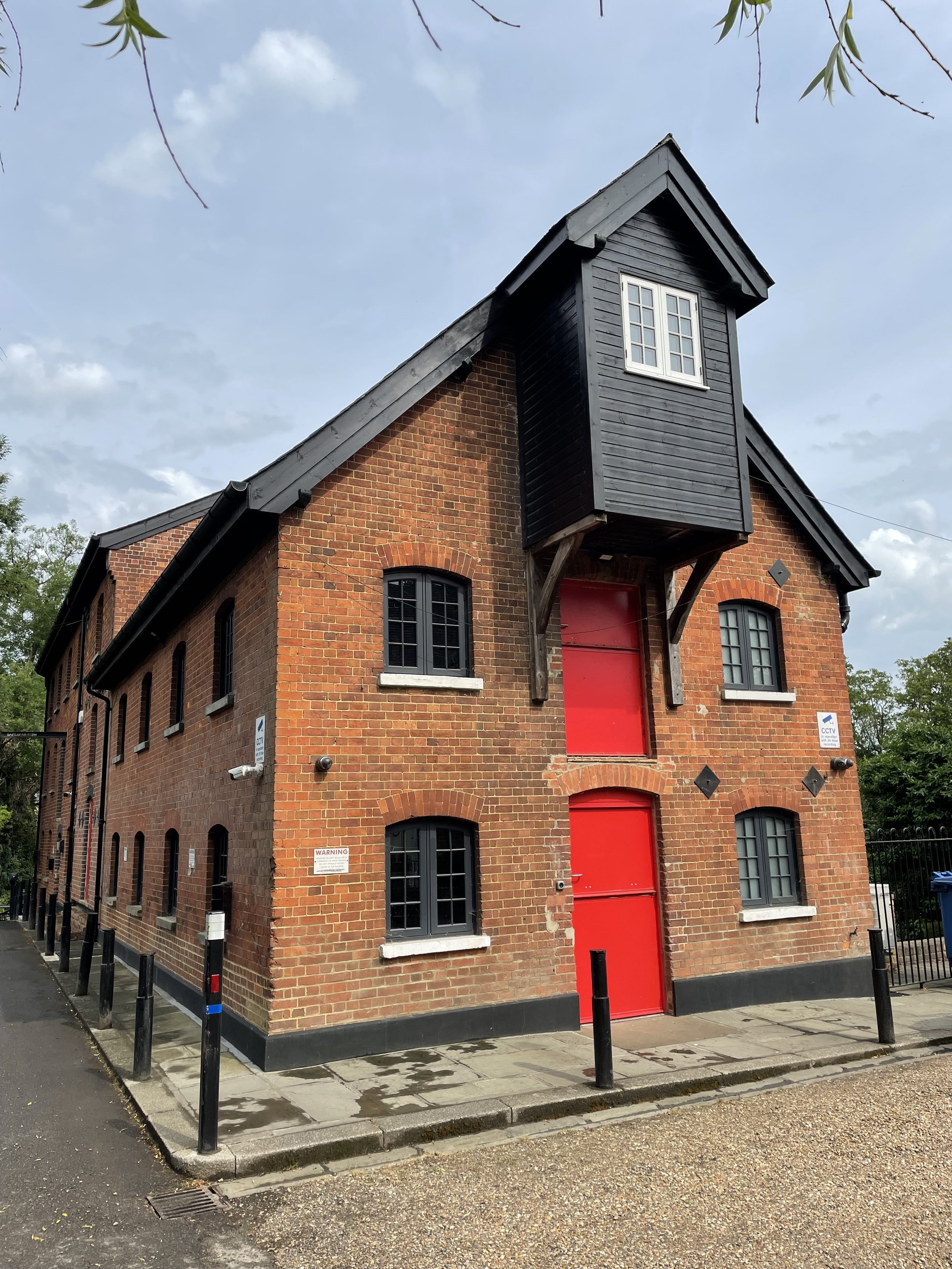
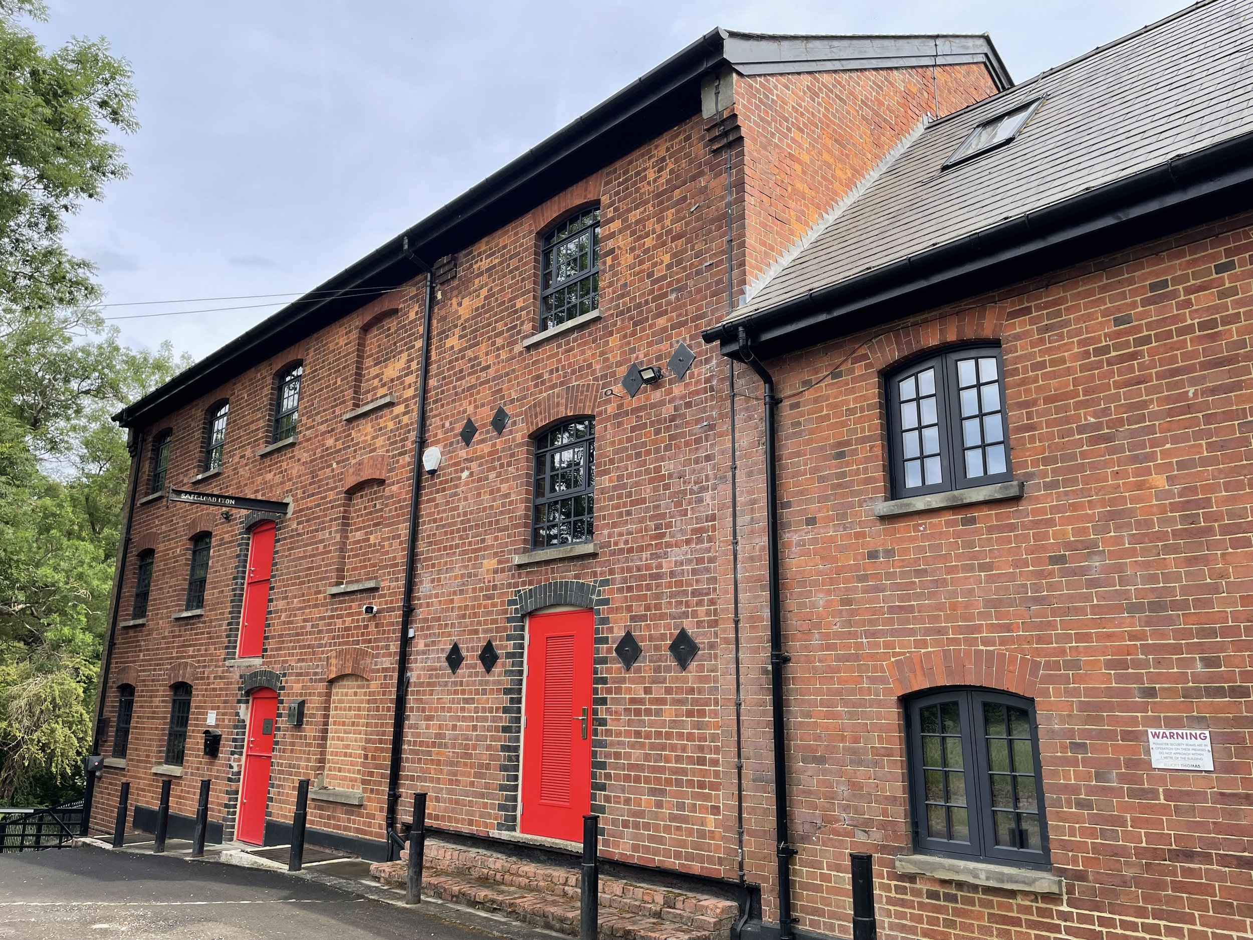
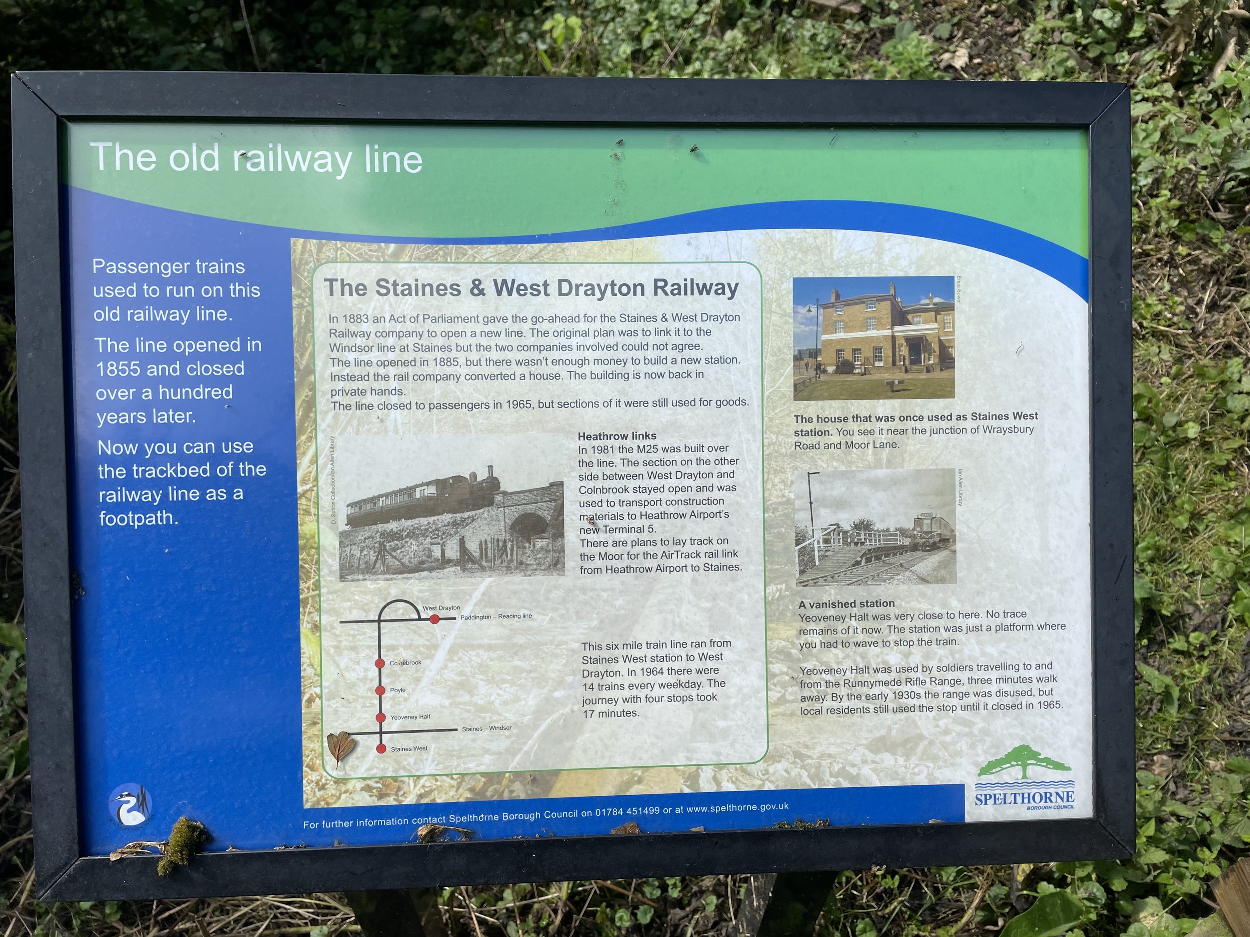
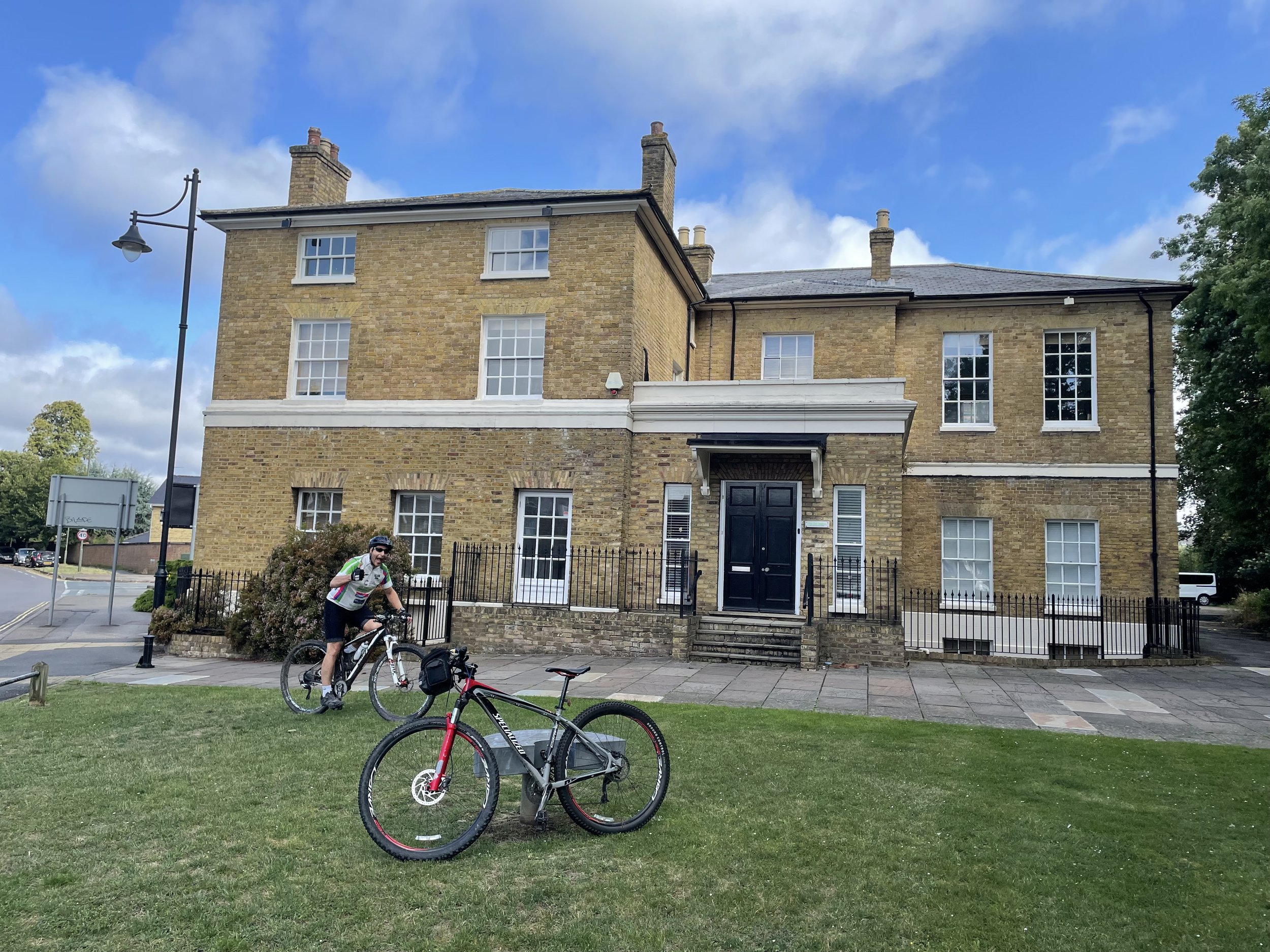
The Staines to West Drayton Railway was in existence from 1884 to 1965 and once also connected to the Reading to Waterloo Line at Staines. The Staines West Station building is still intact and now used as offices.

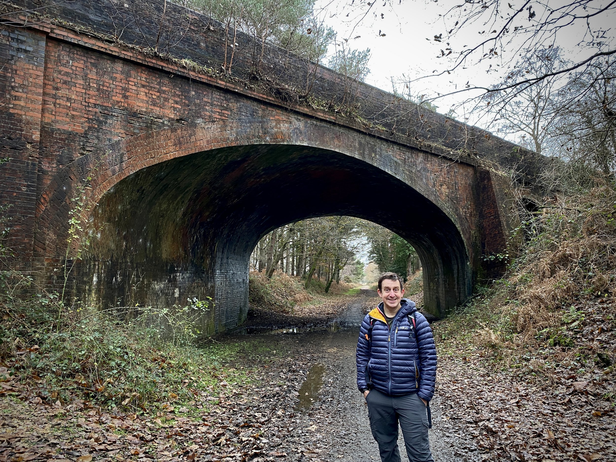
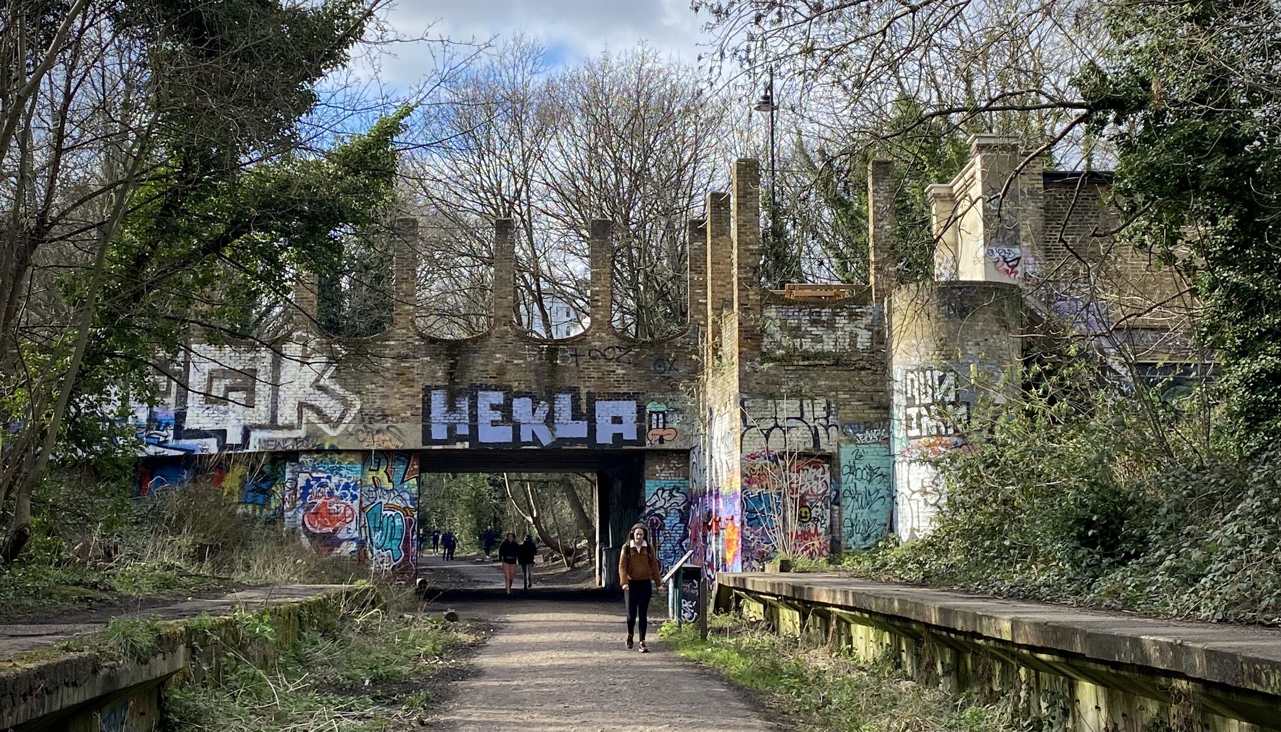
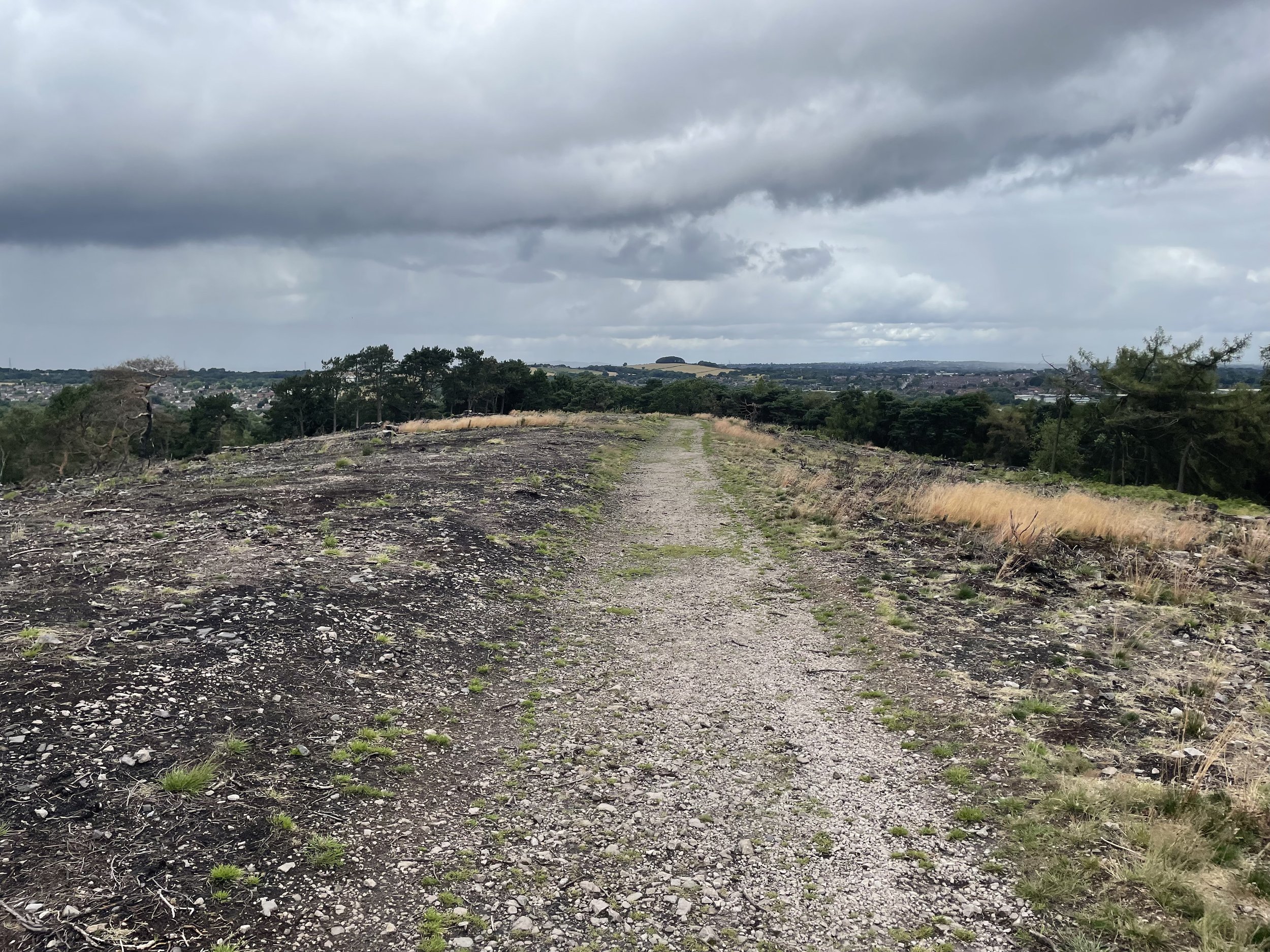
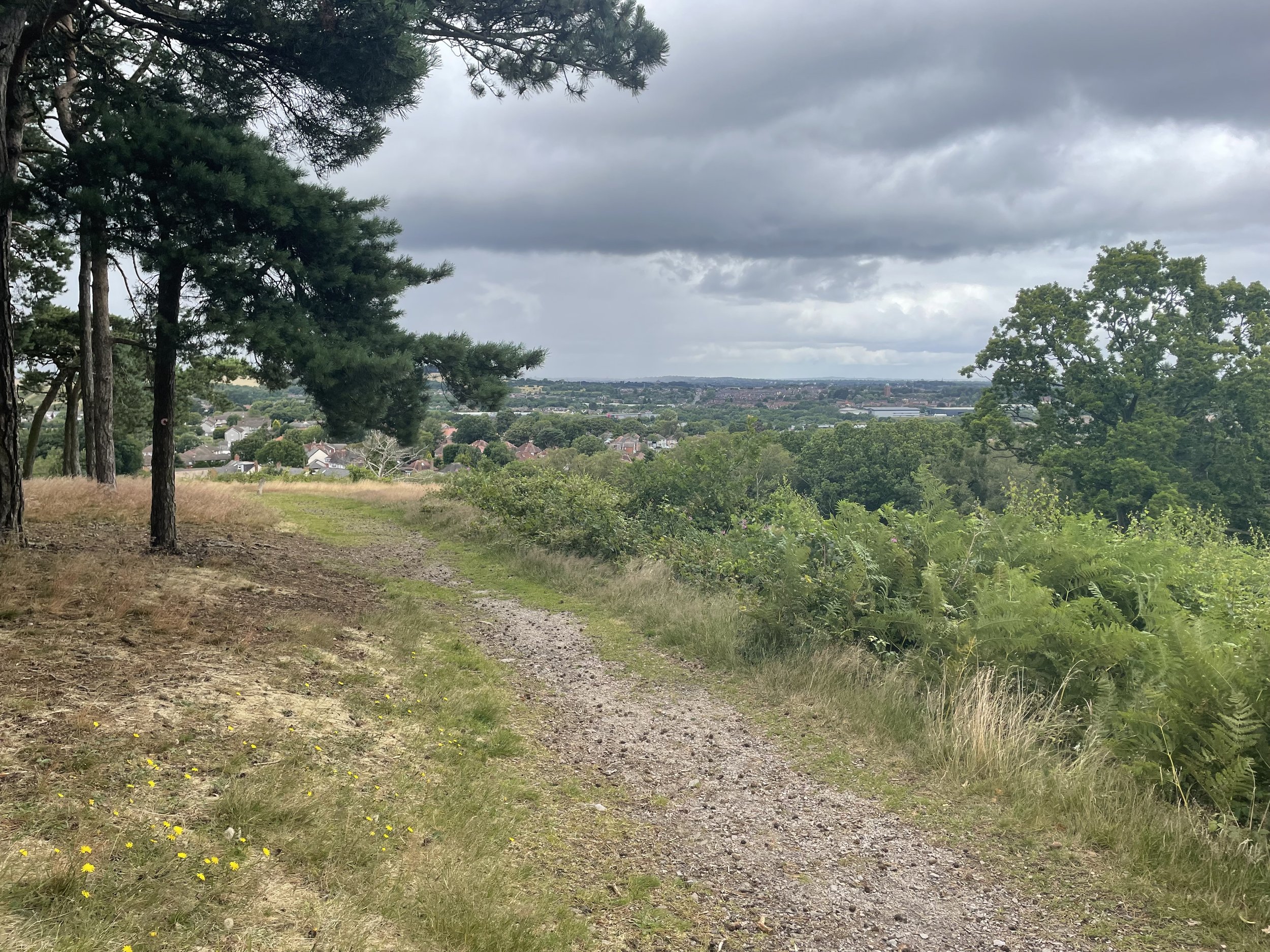
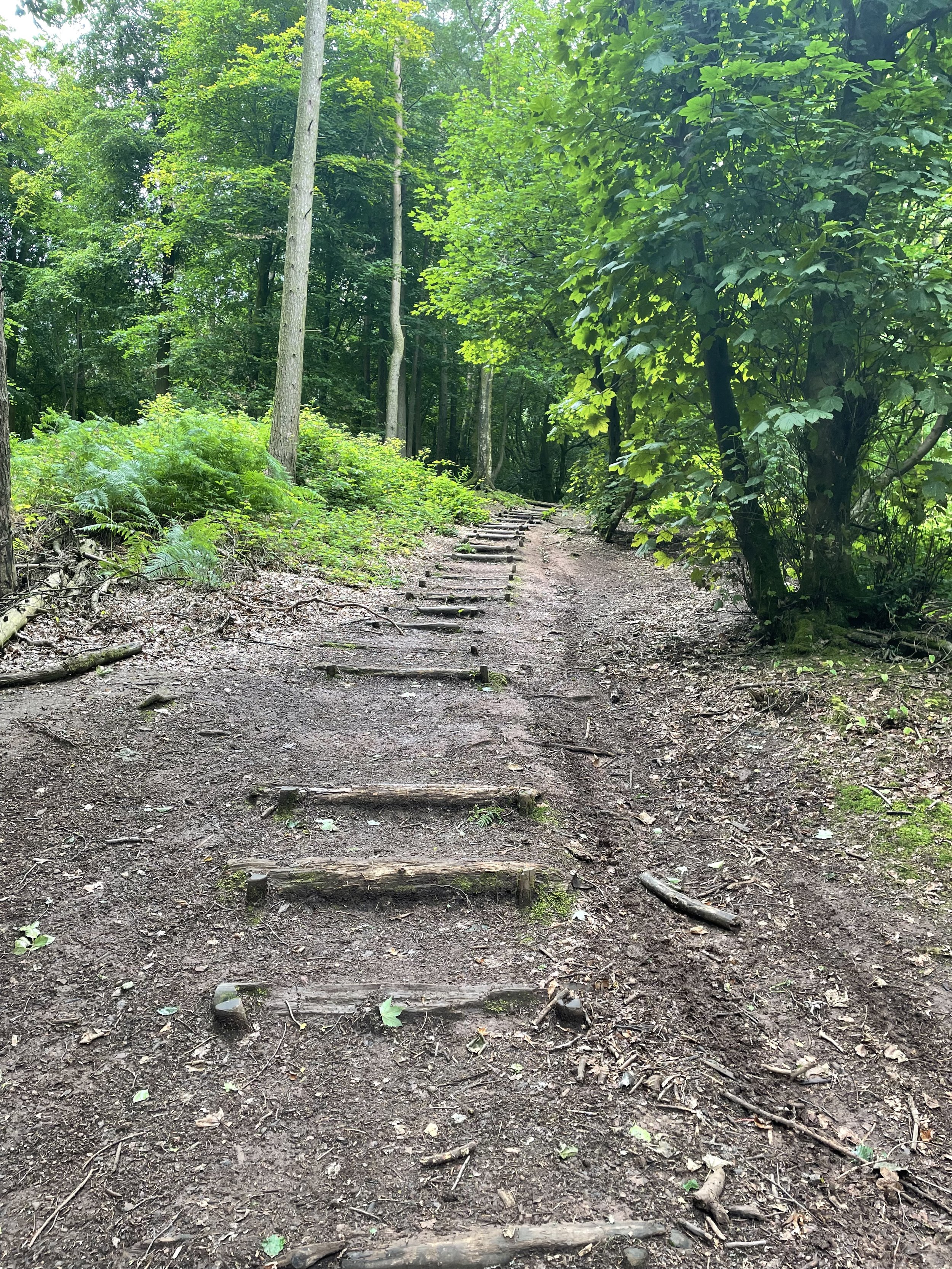
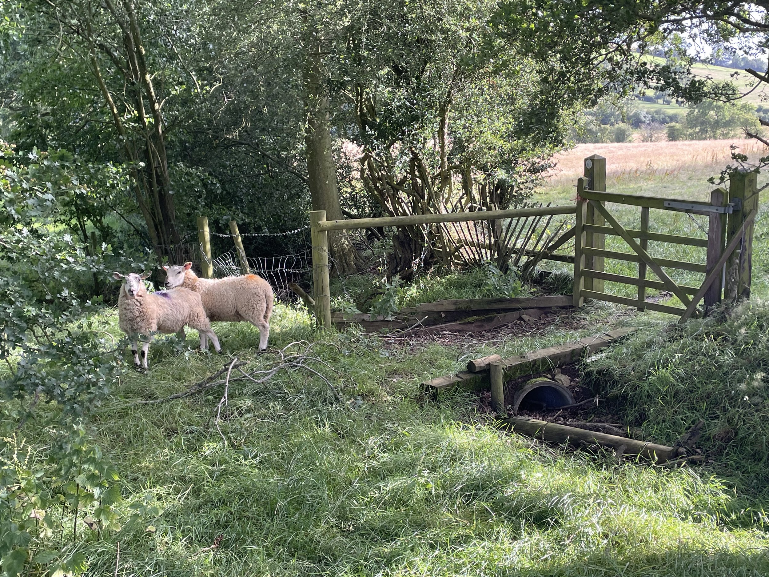
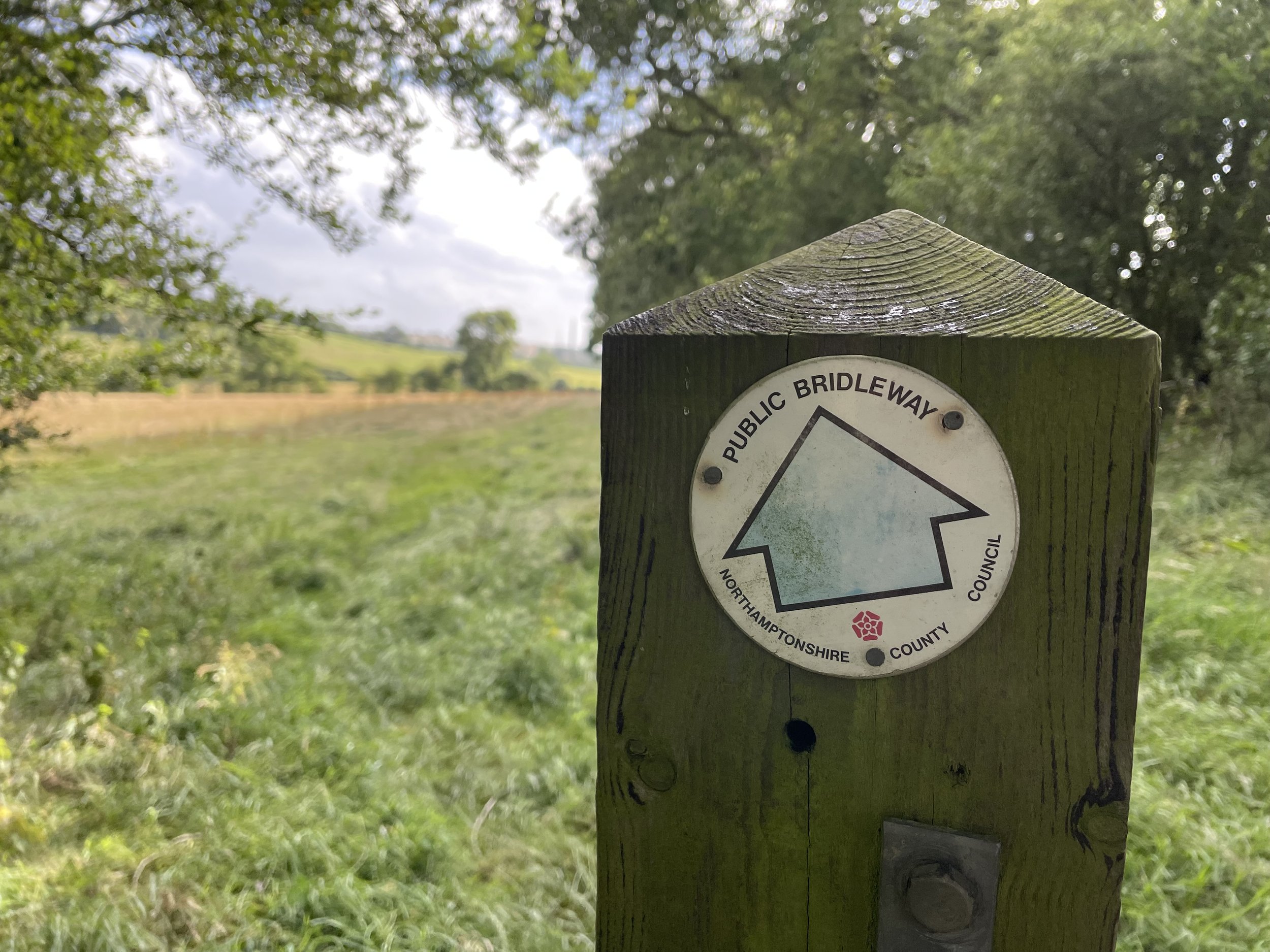
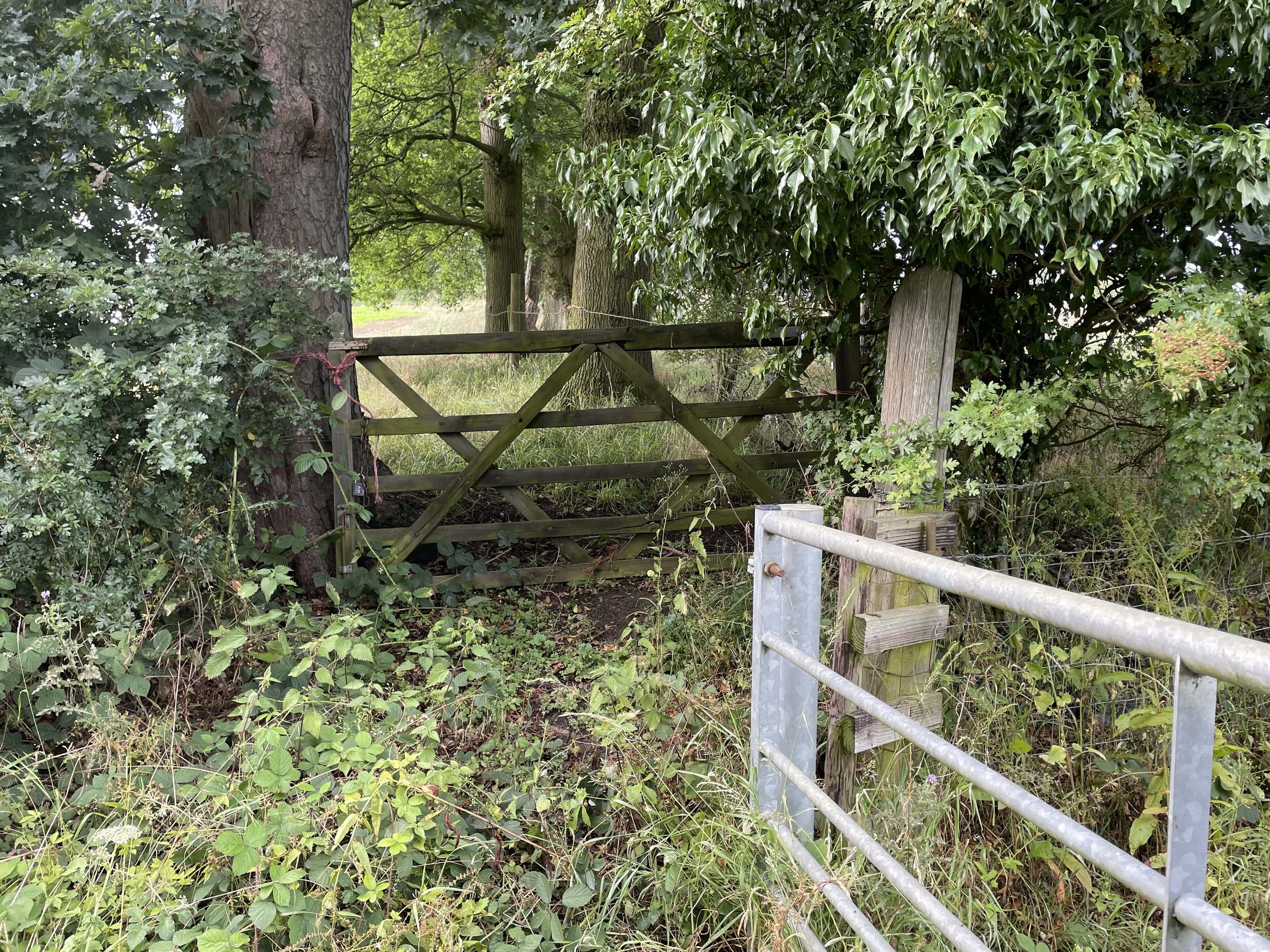
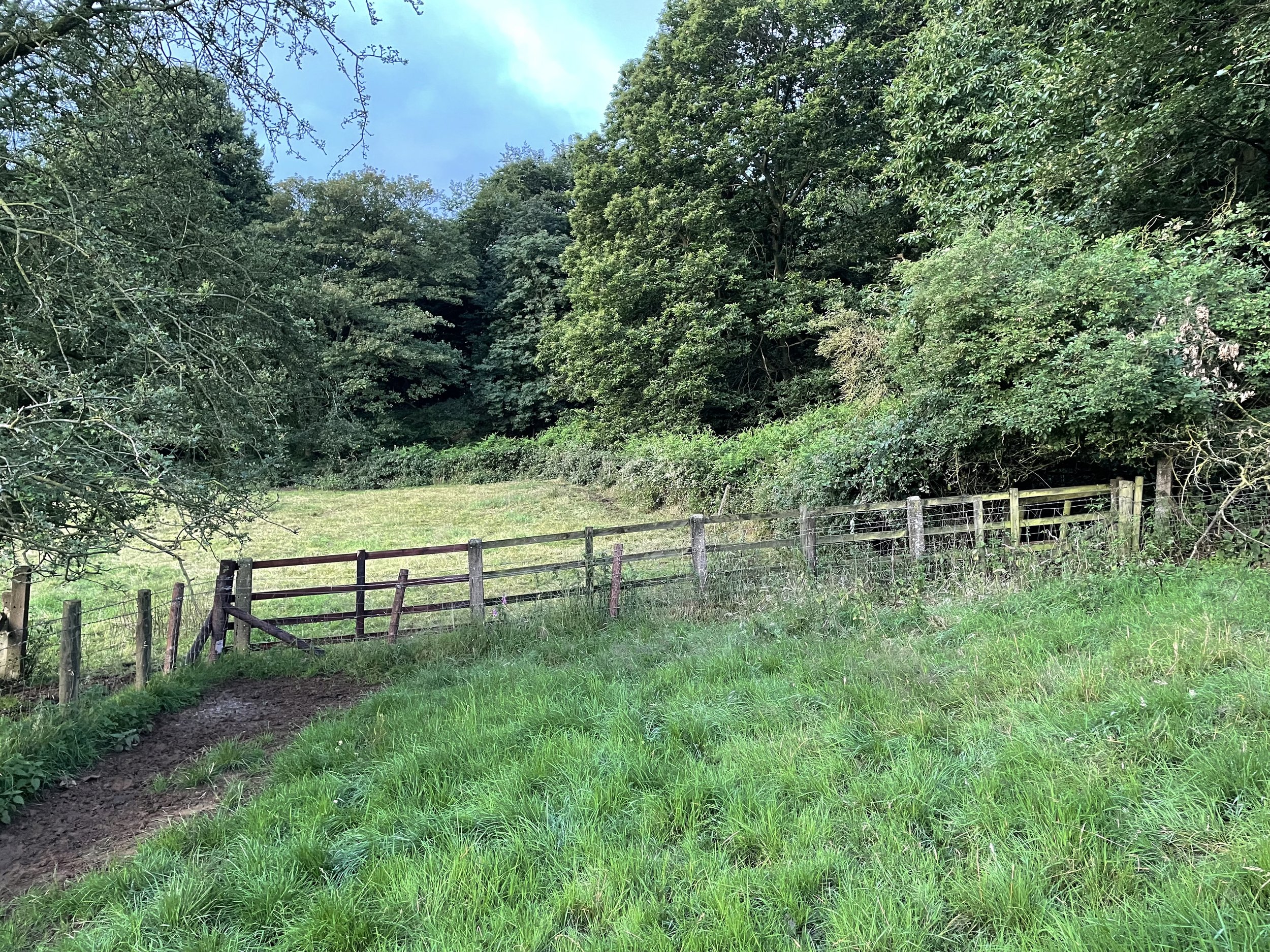
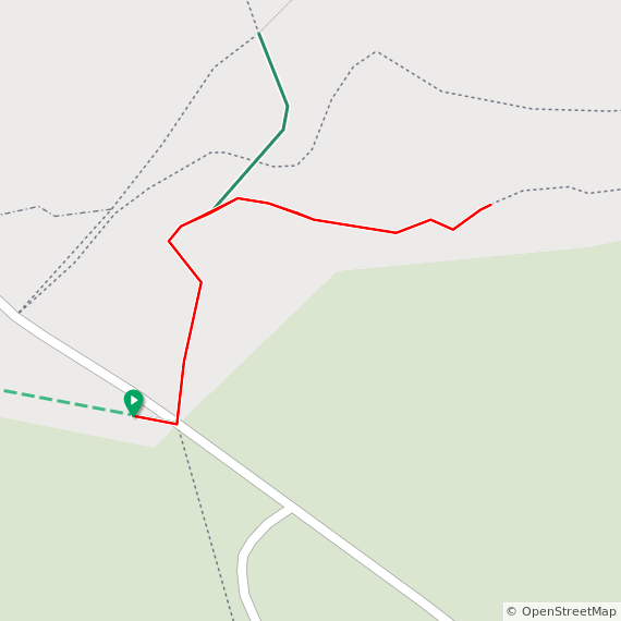
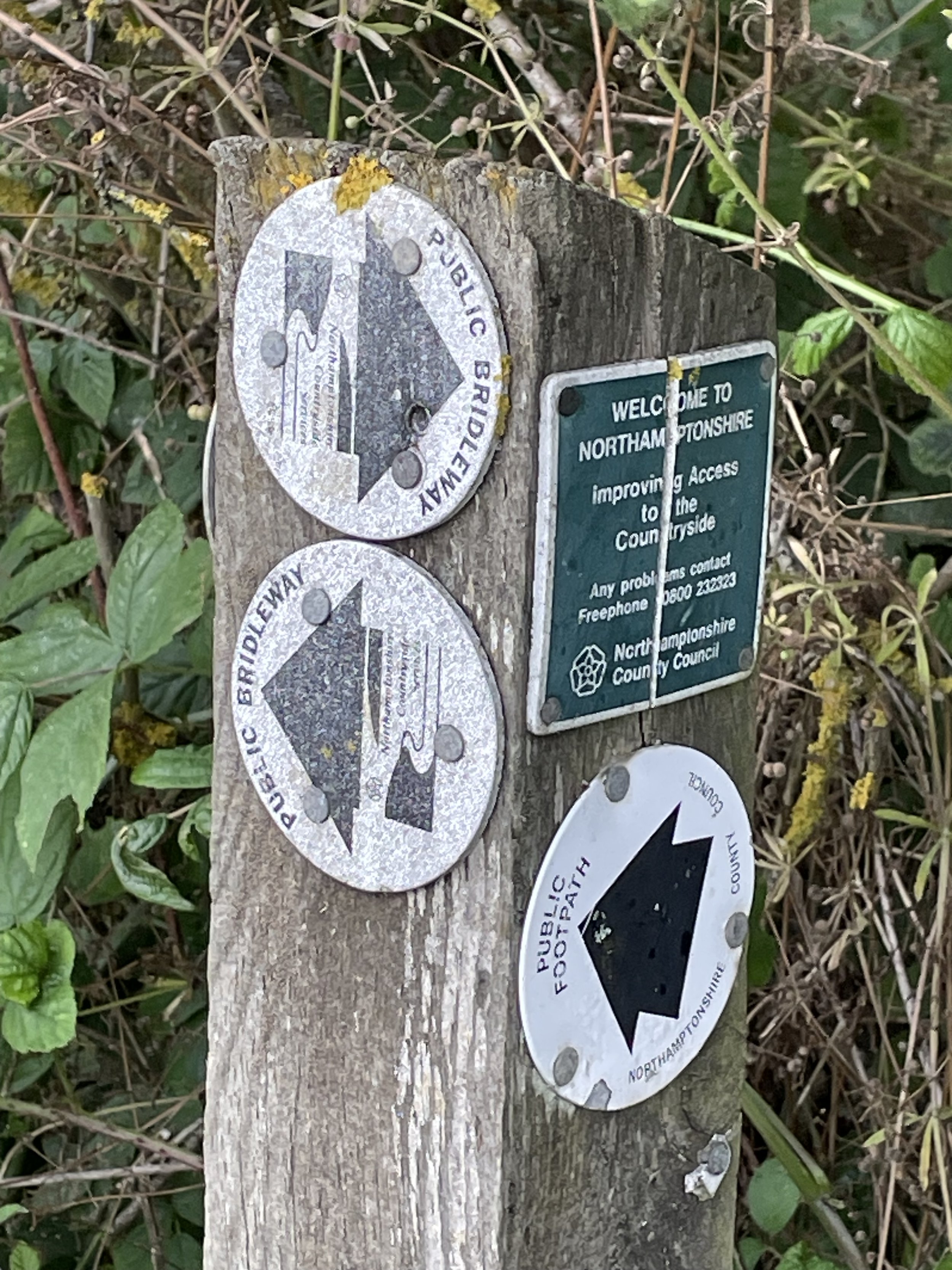
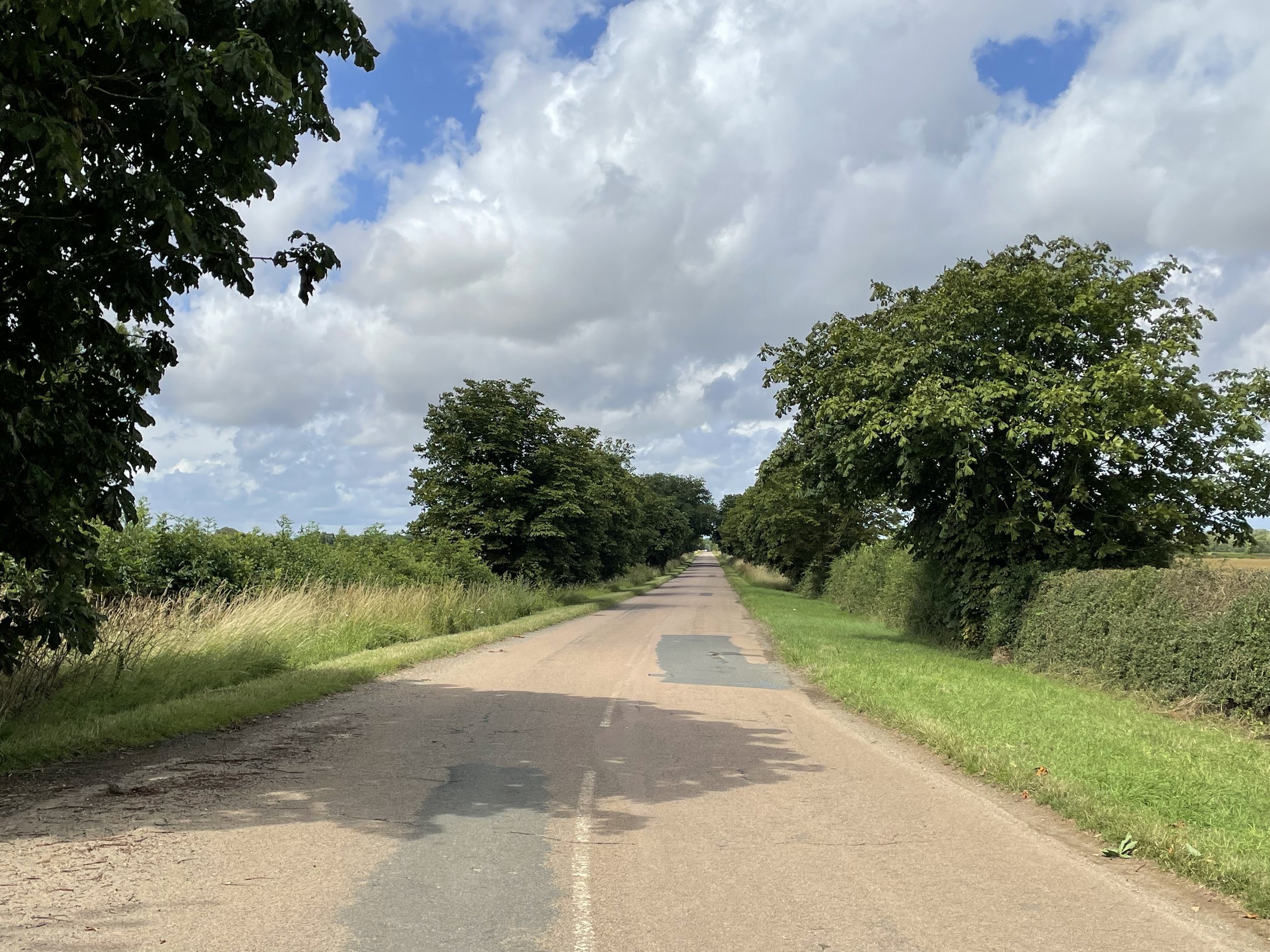
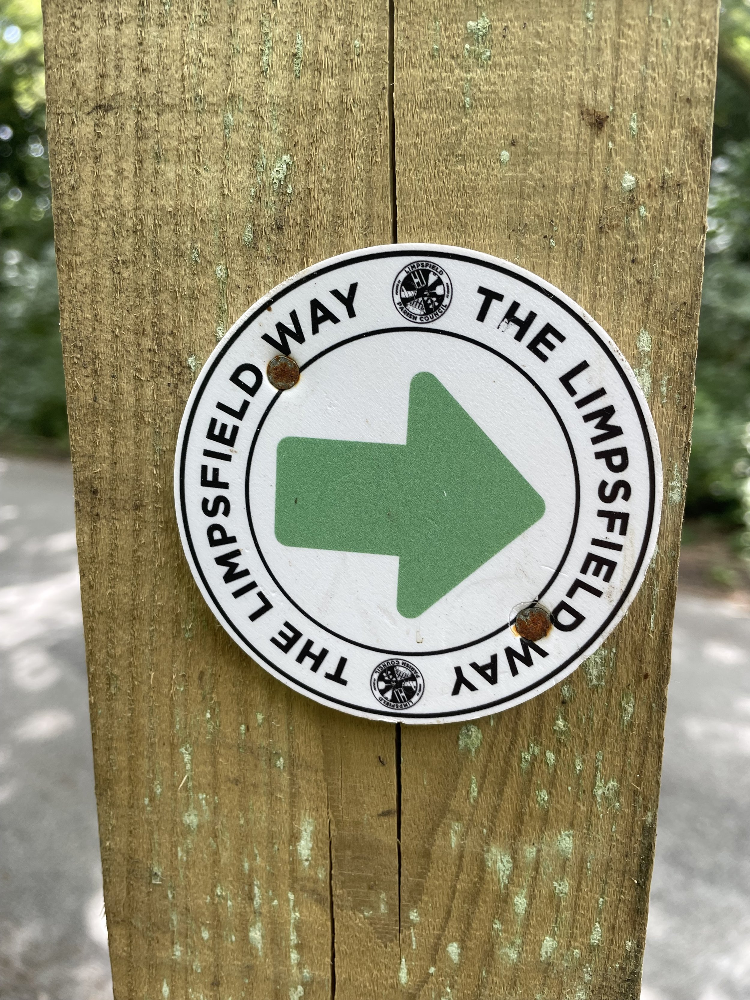
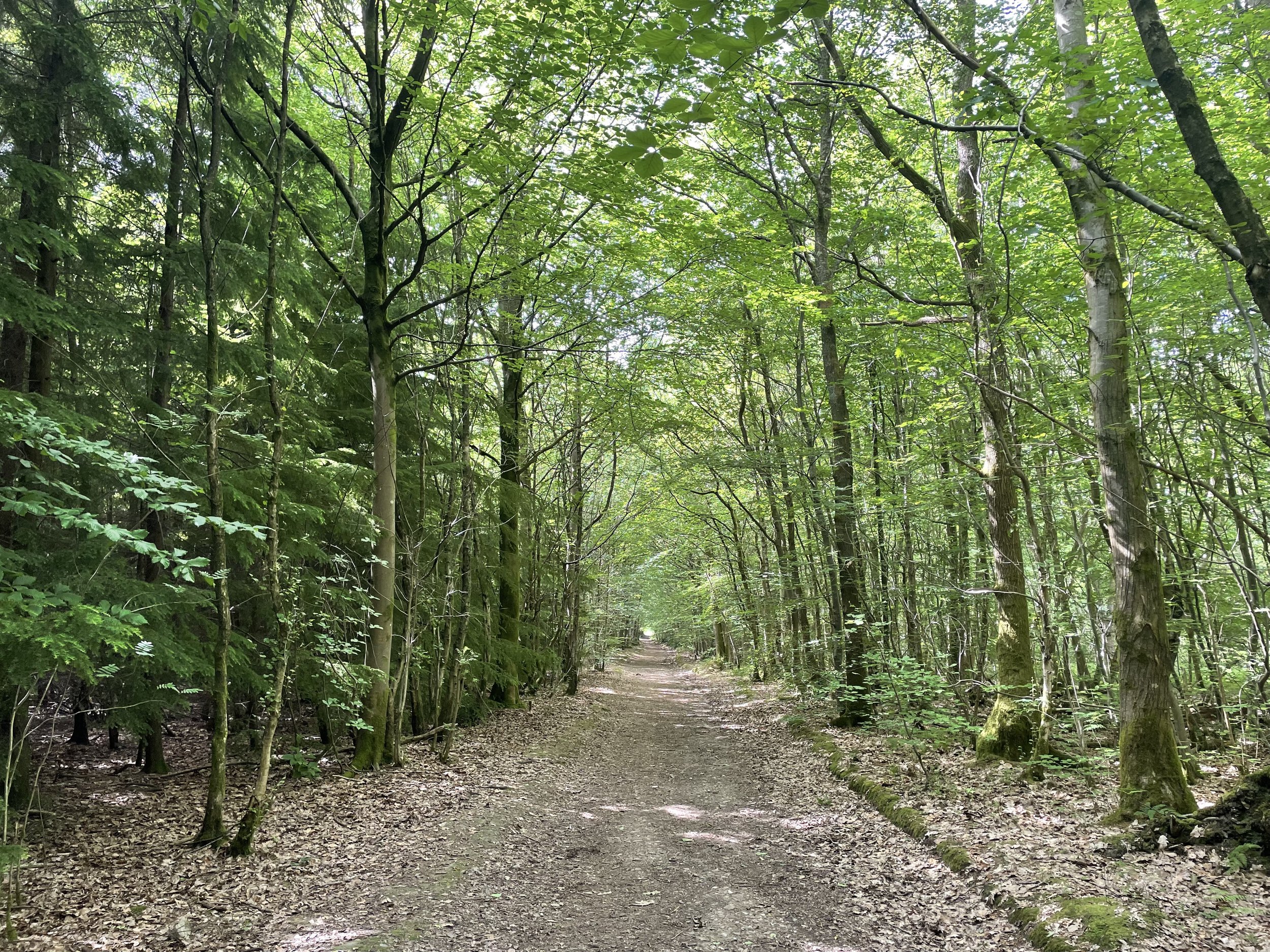
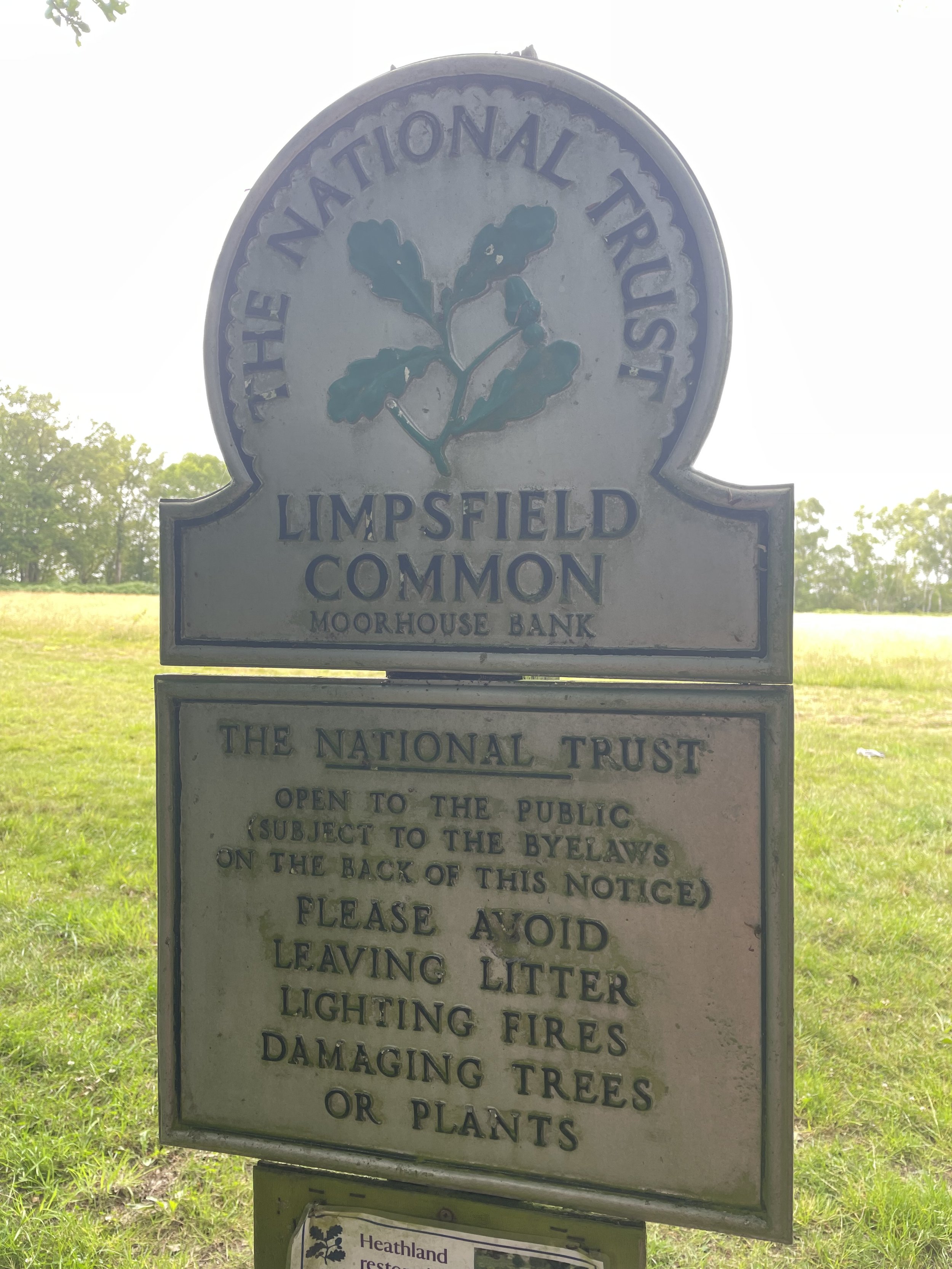
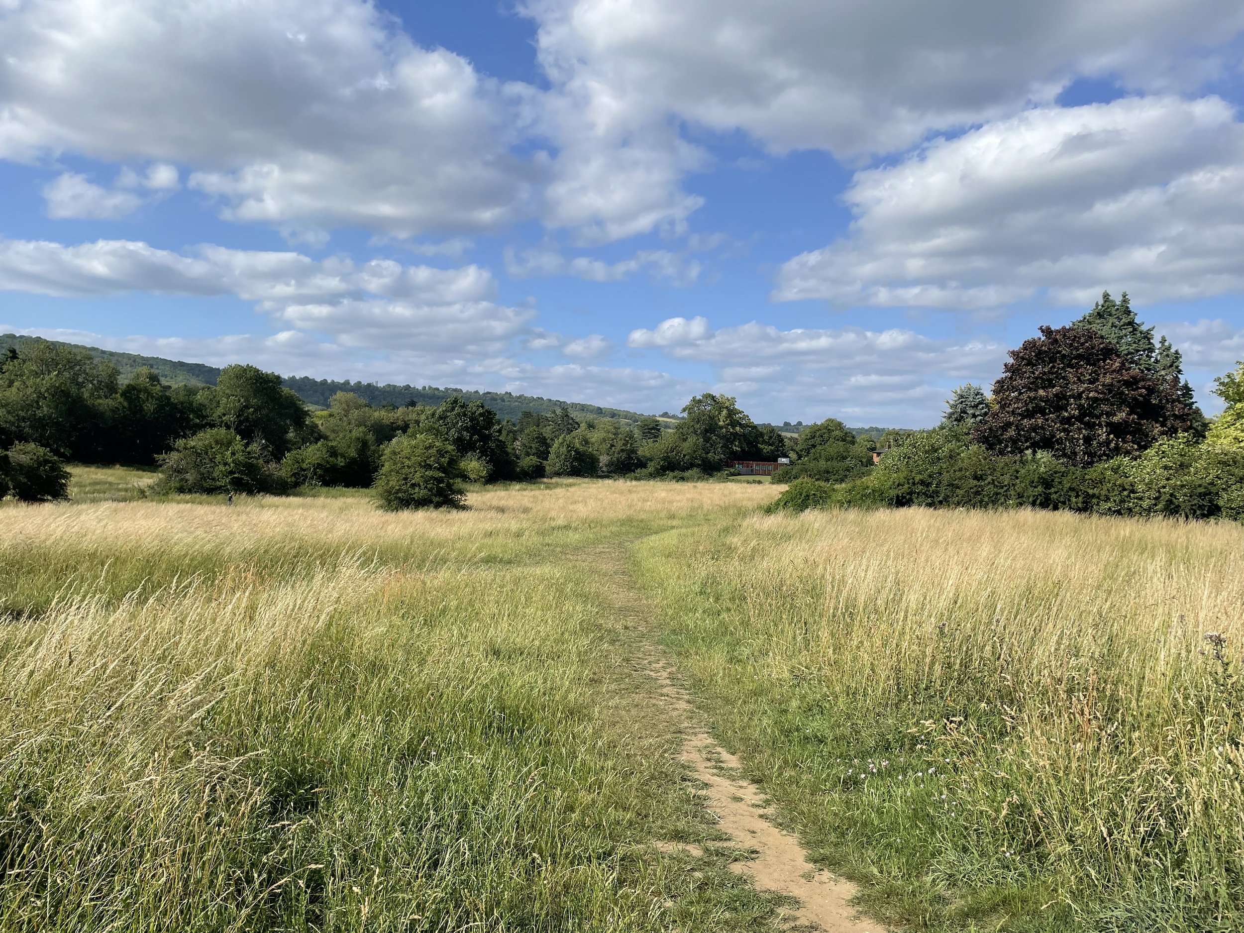
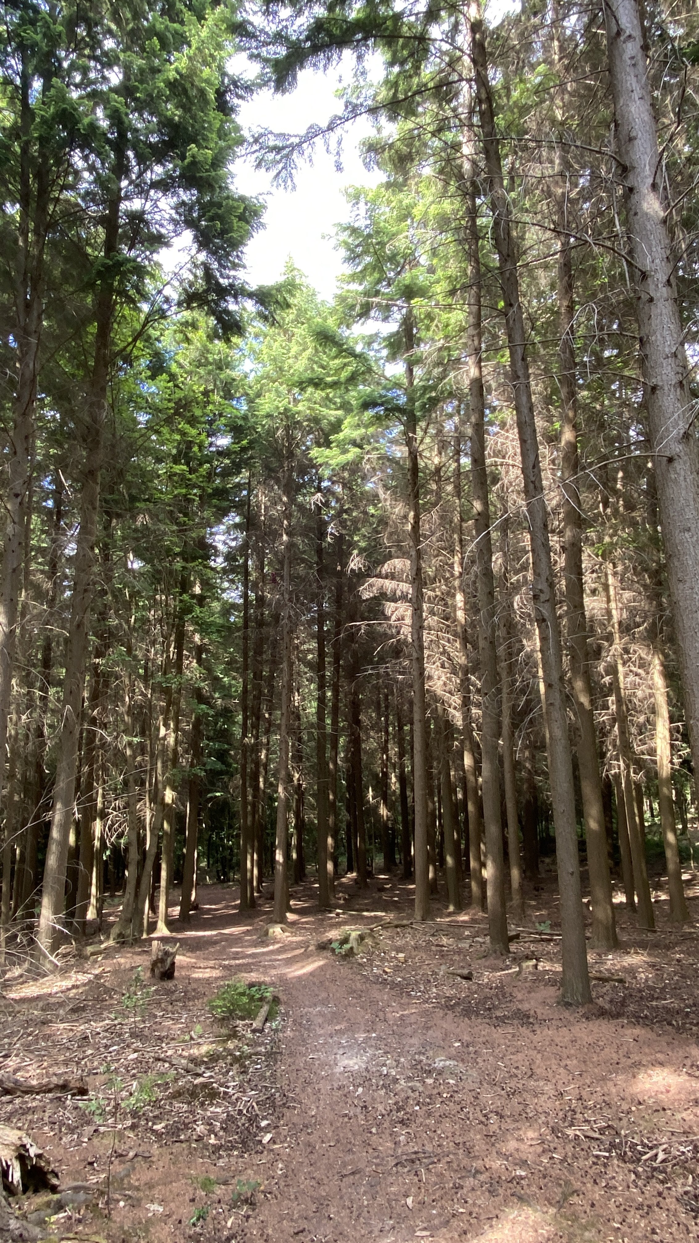
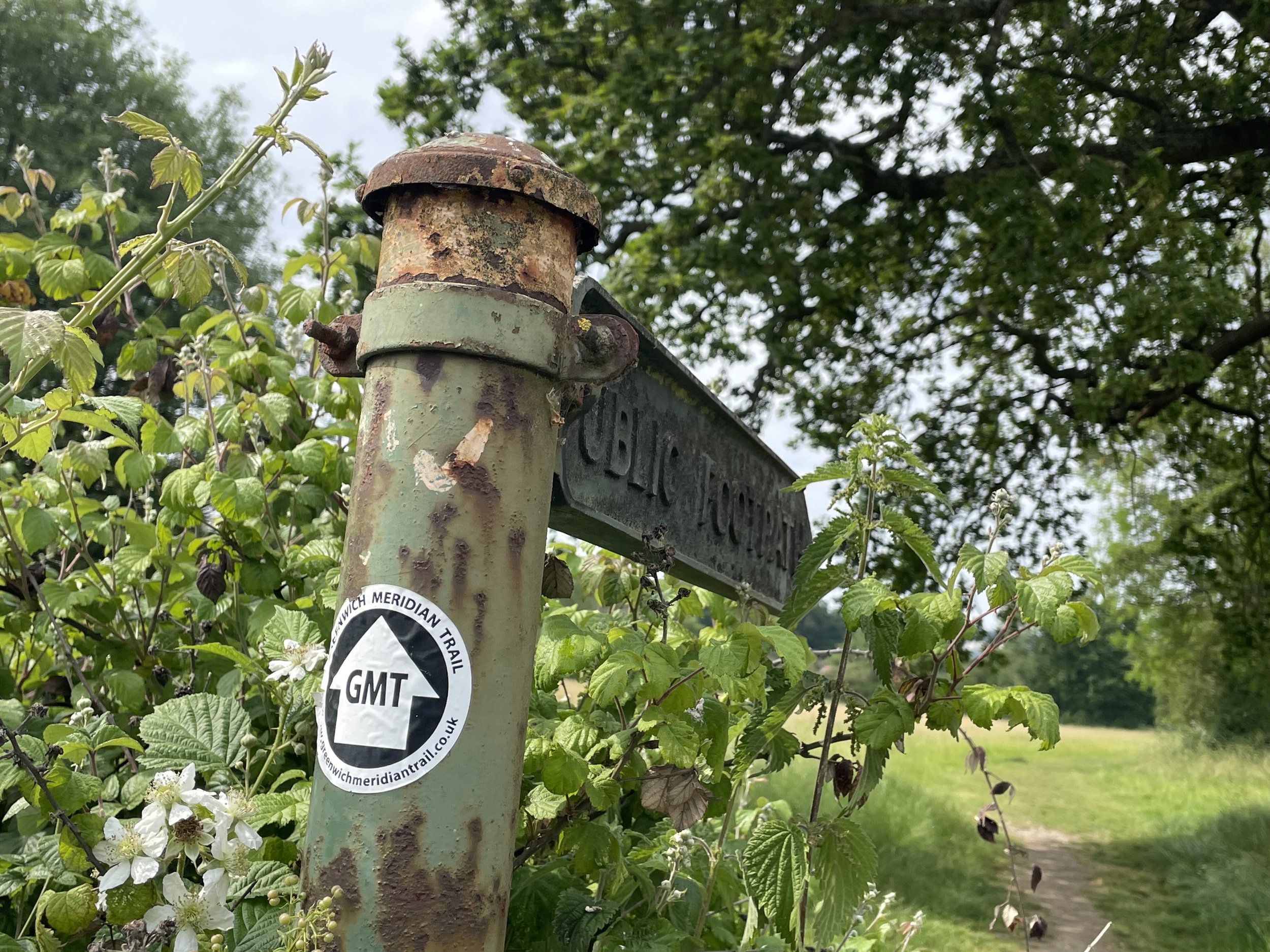
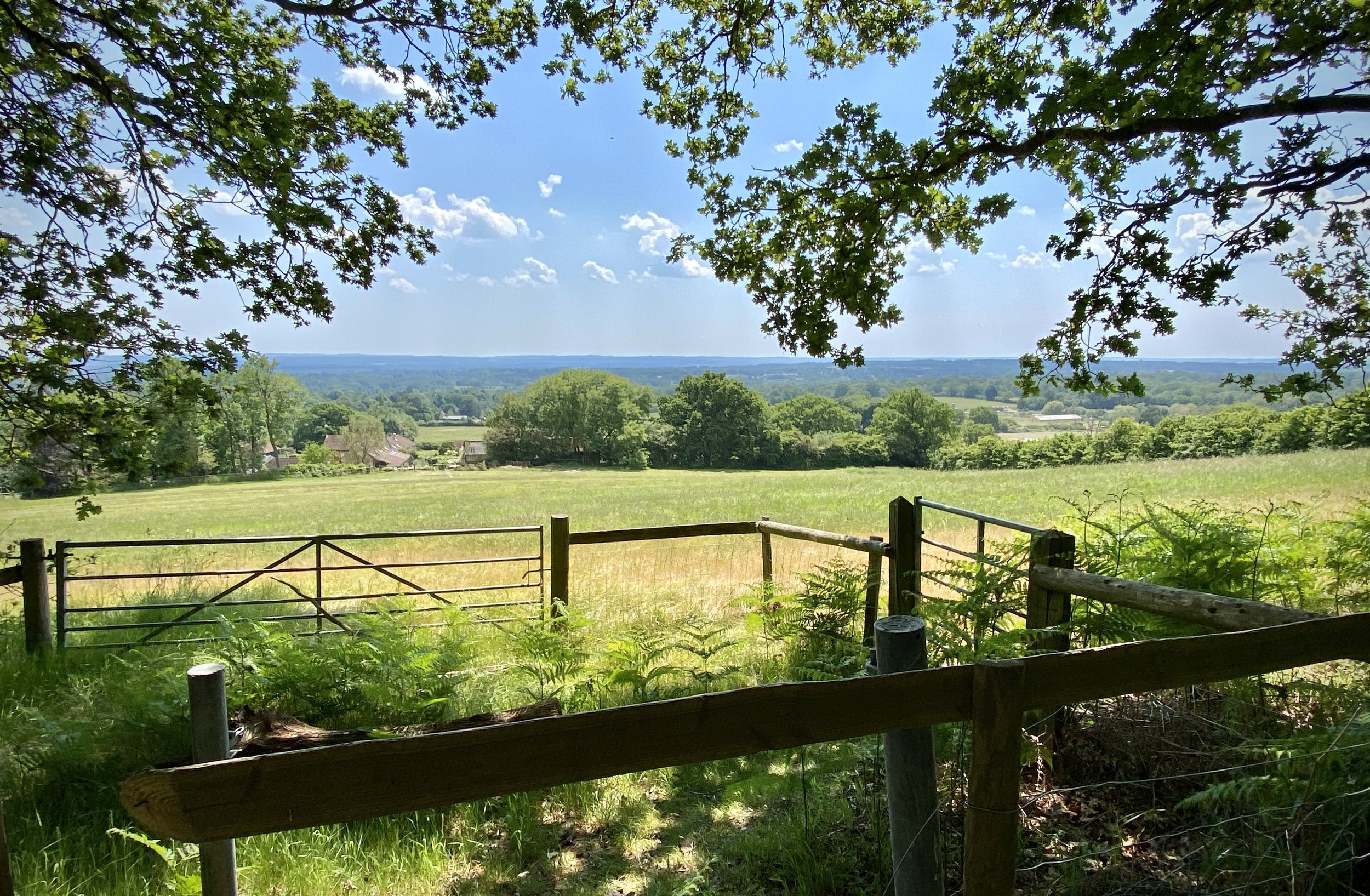
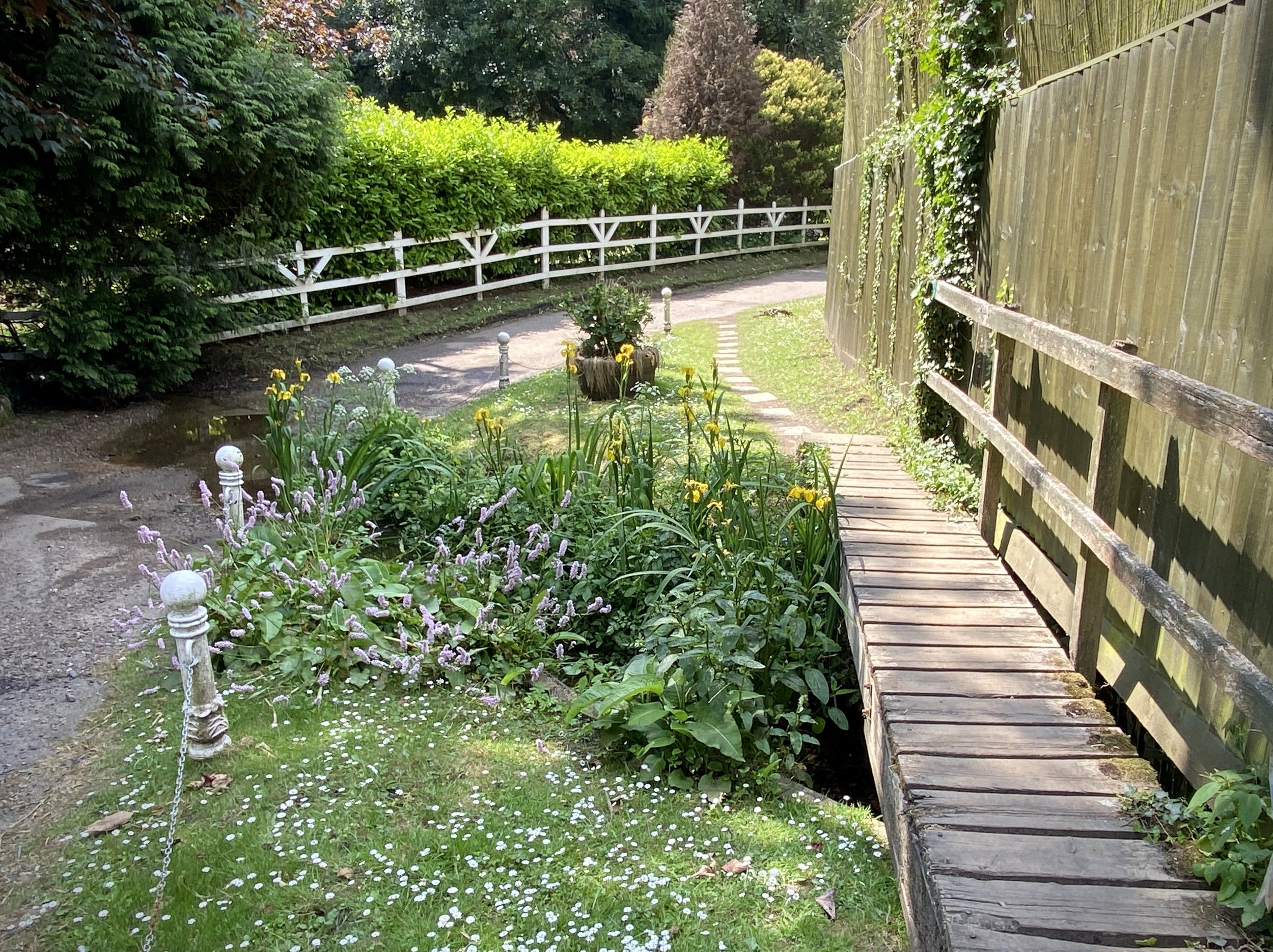
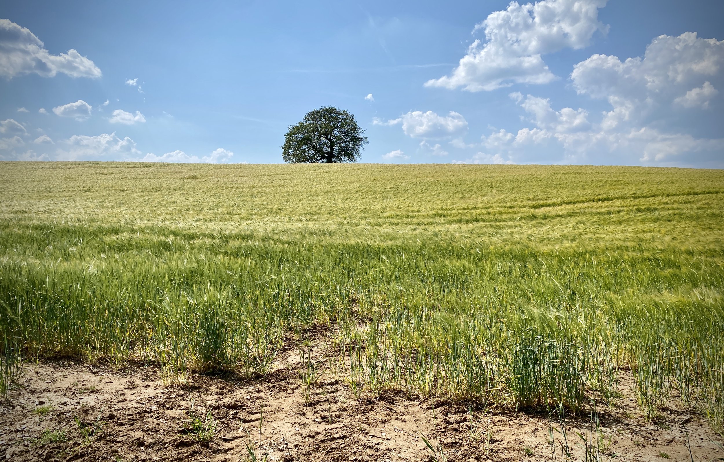
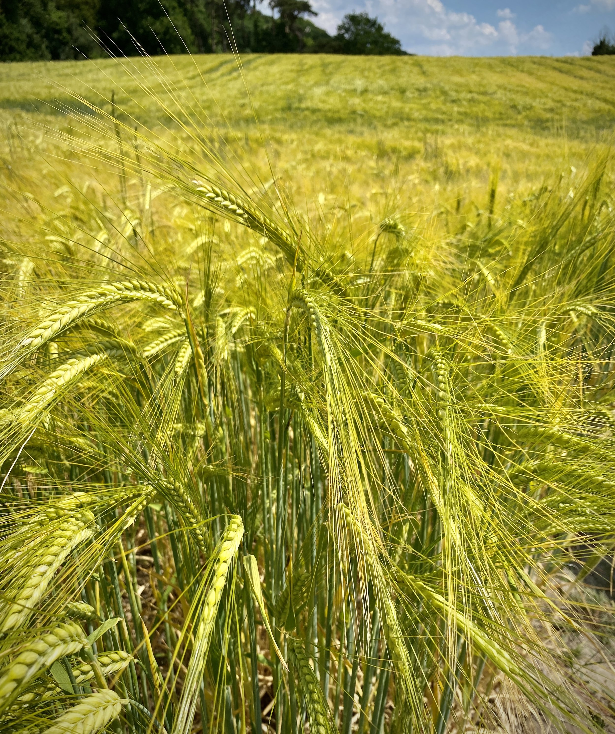
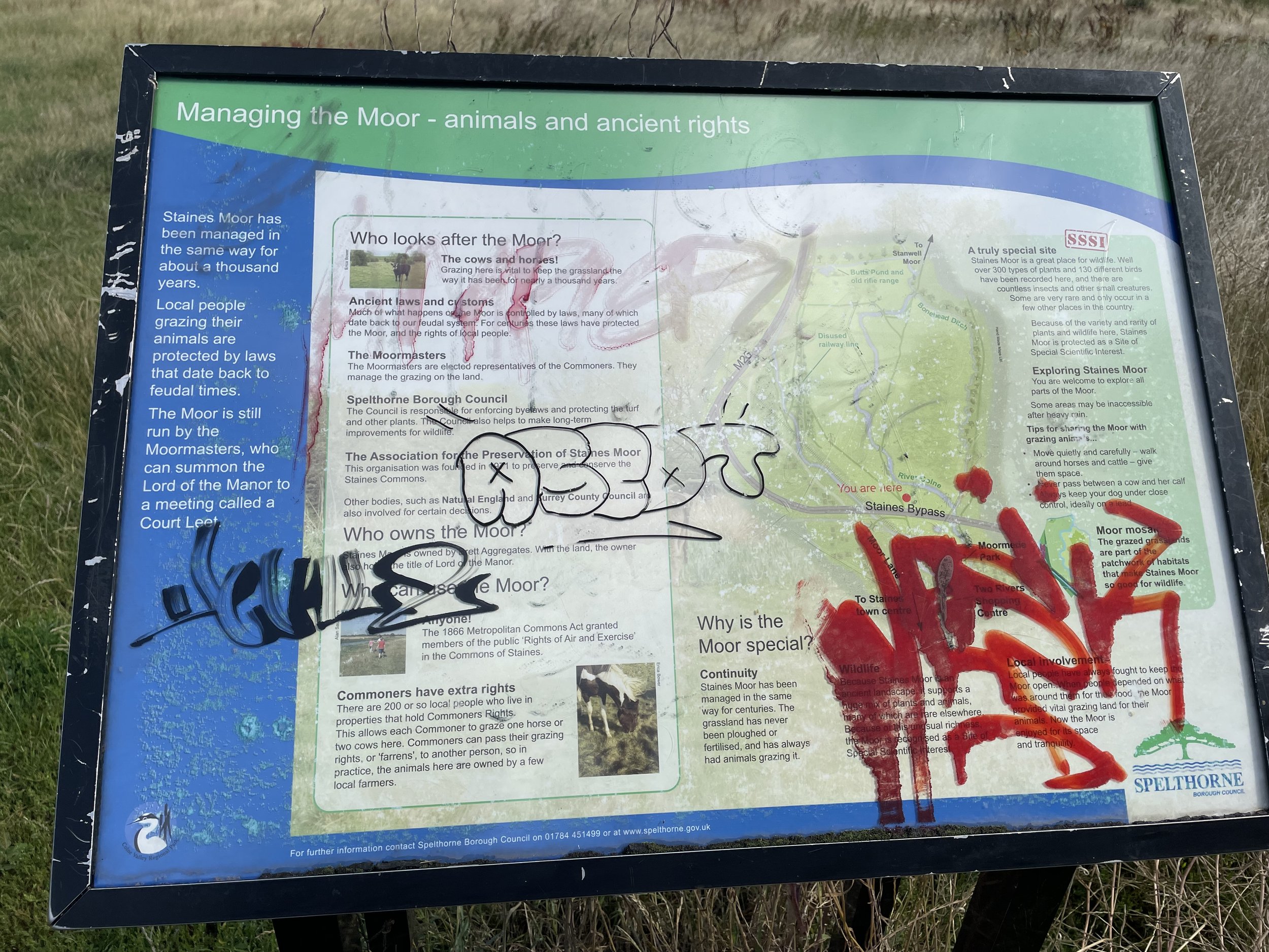
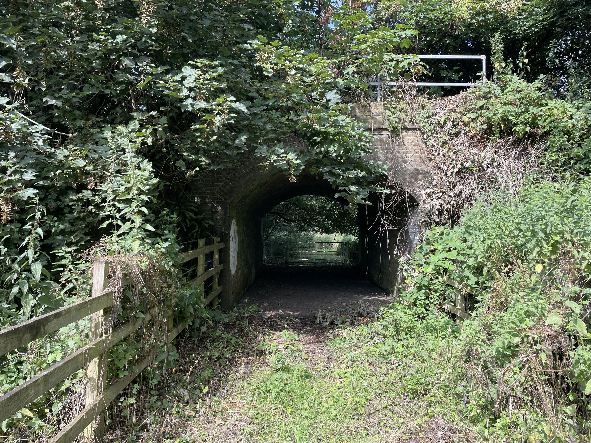
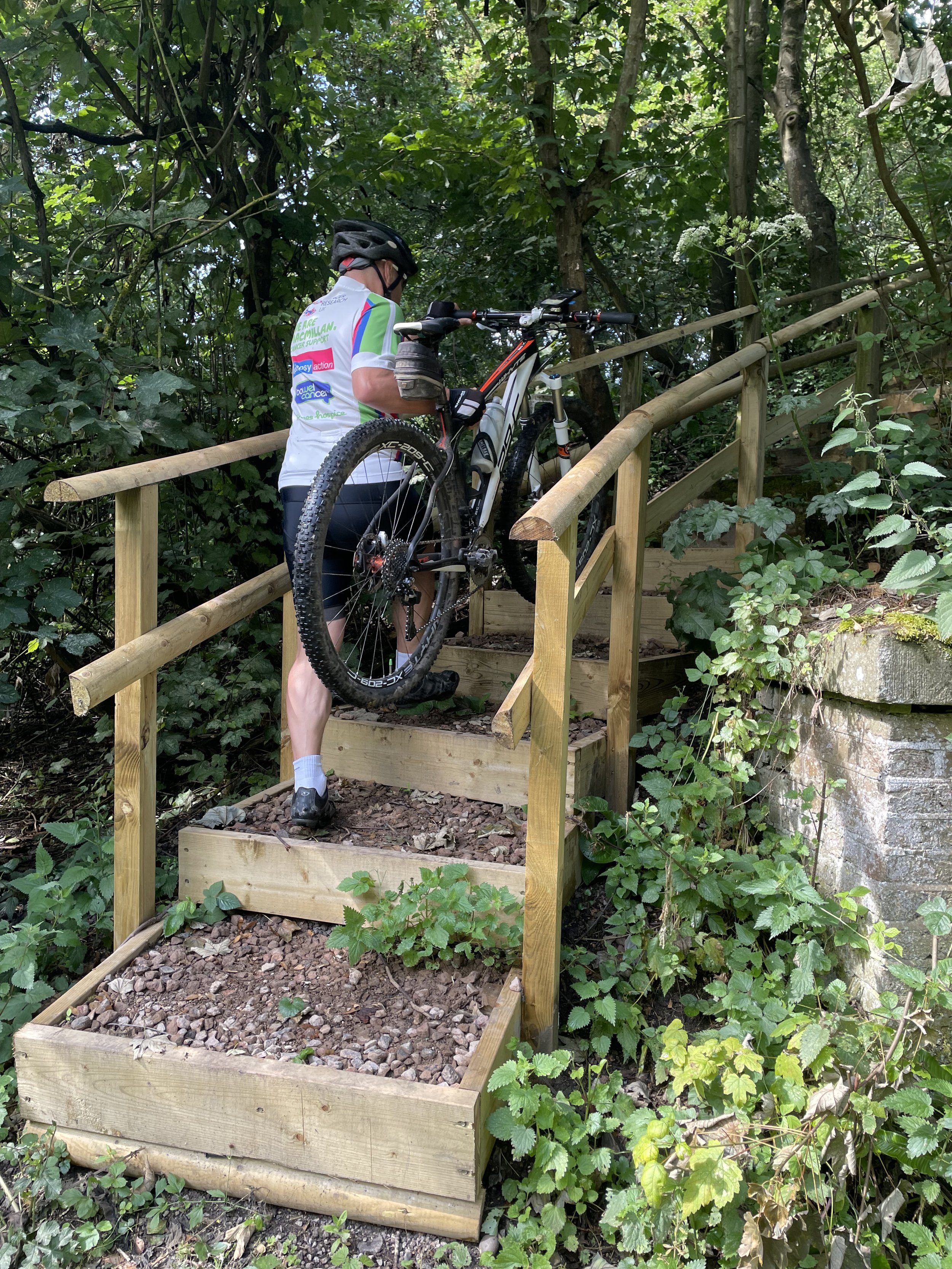
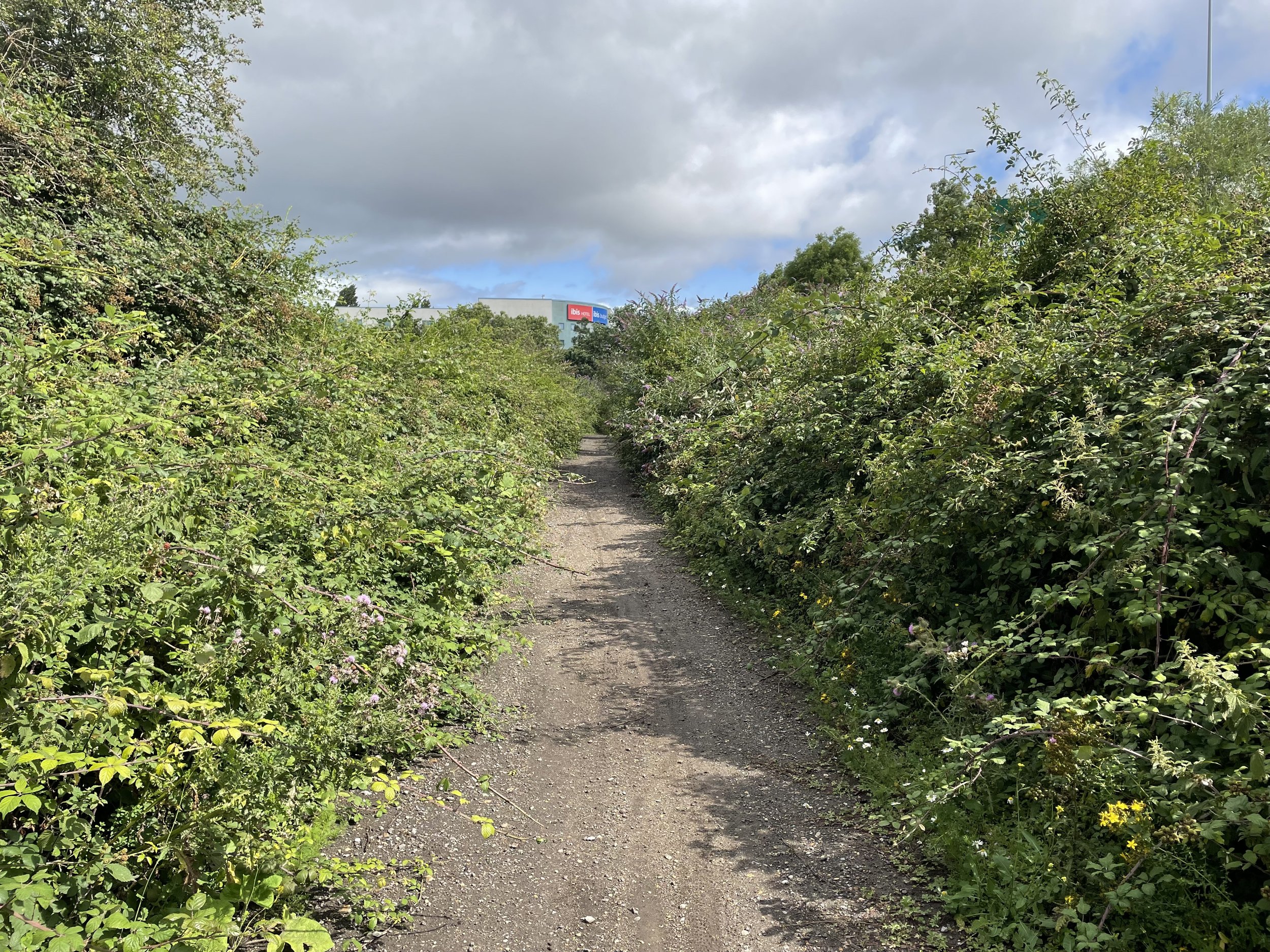
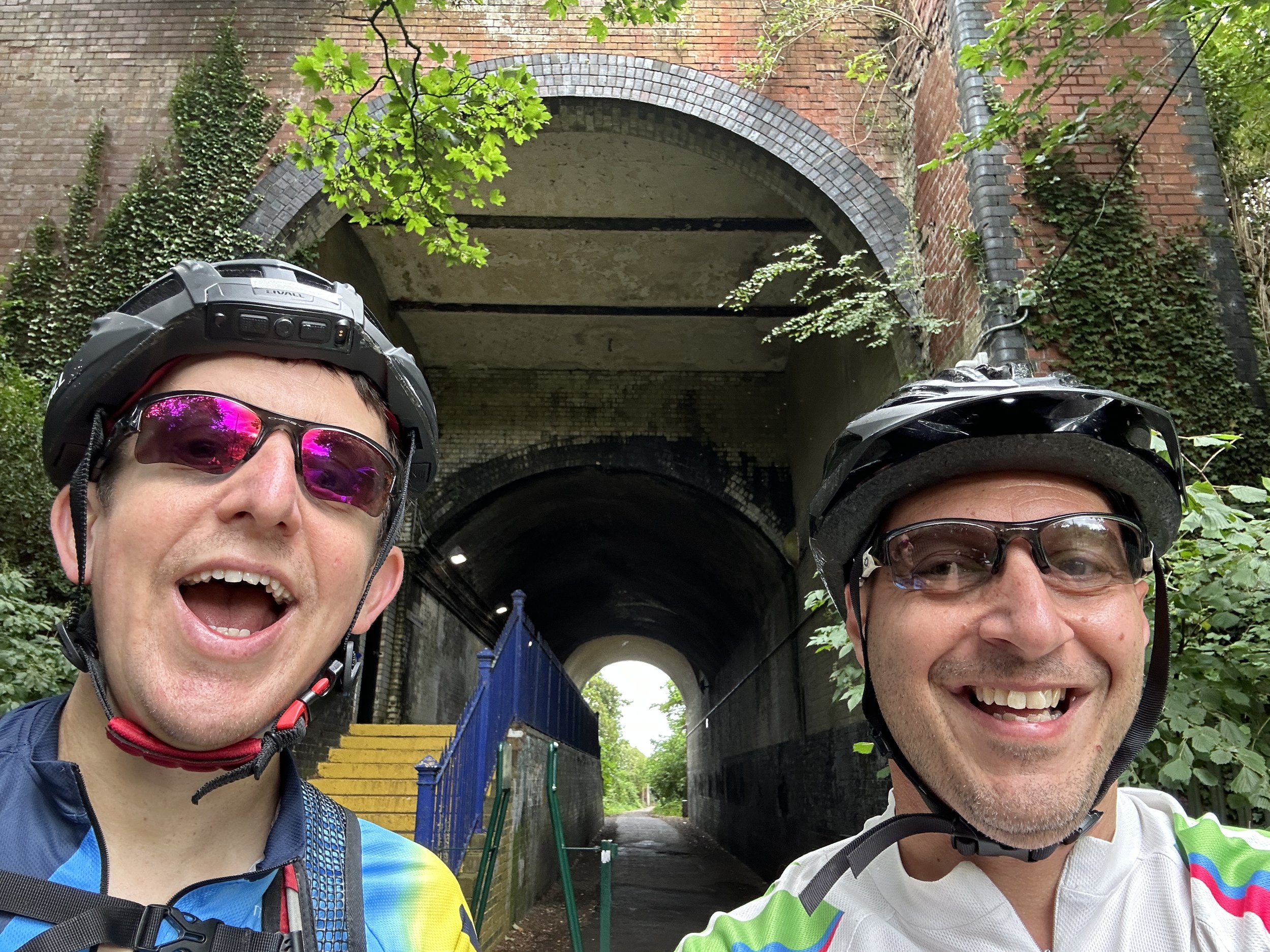
From Staines West Station follow Moor Lane until you reach a footpath on the right hand side just ahead of the A30 Staines Bypass. Follow this path to cross over the old bridge that crosses the River Wraysbury and the route of the old railway. Take a left after the bridge to pass under the A30 and onto Staines Moor. Keep to the south-western edge of the moor and find a gate leading to a bridge in the woods and the route of the old railway. Here you’ll find an information board about the railway and steps up to join the old rail line.

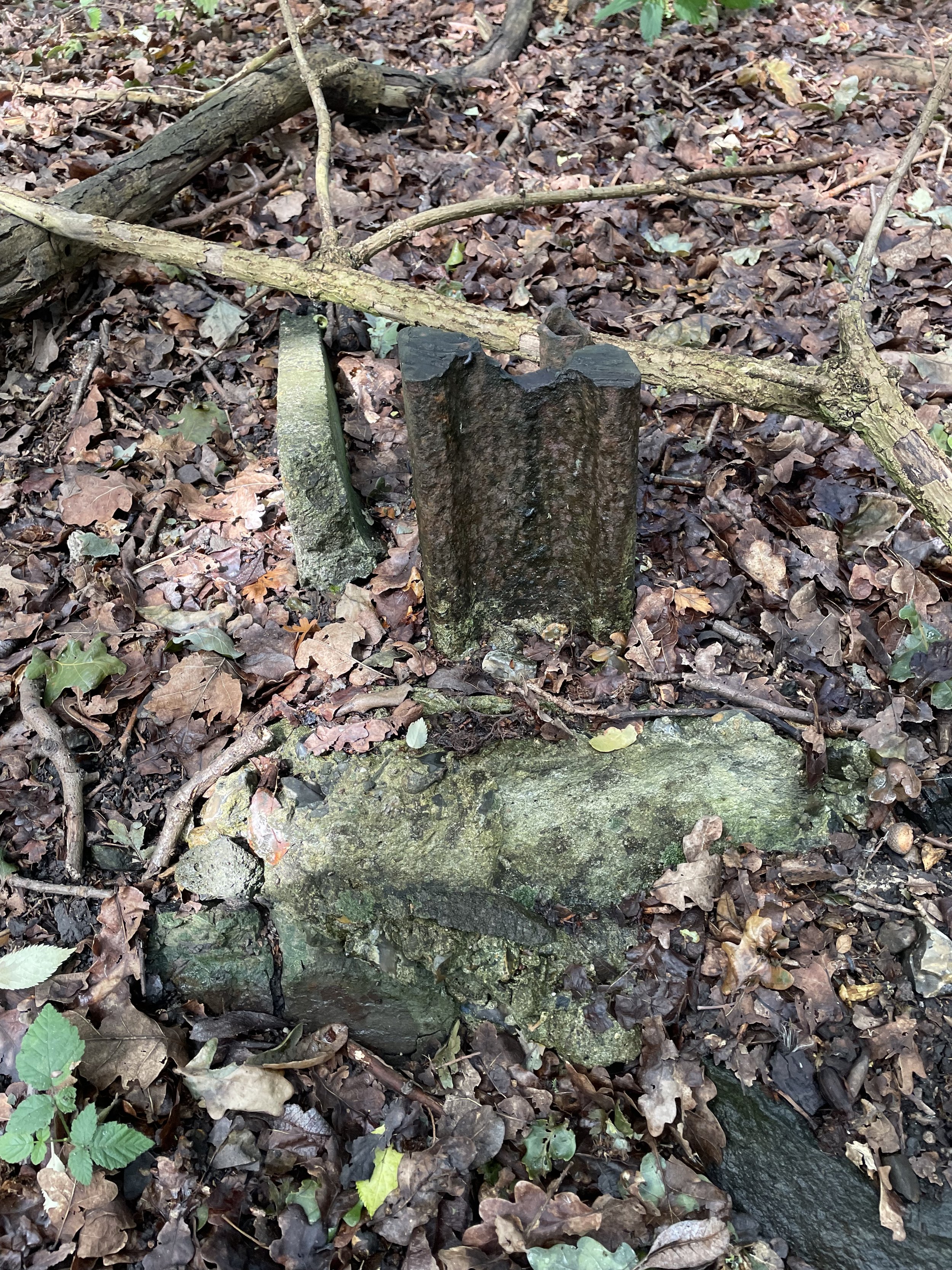
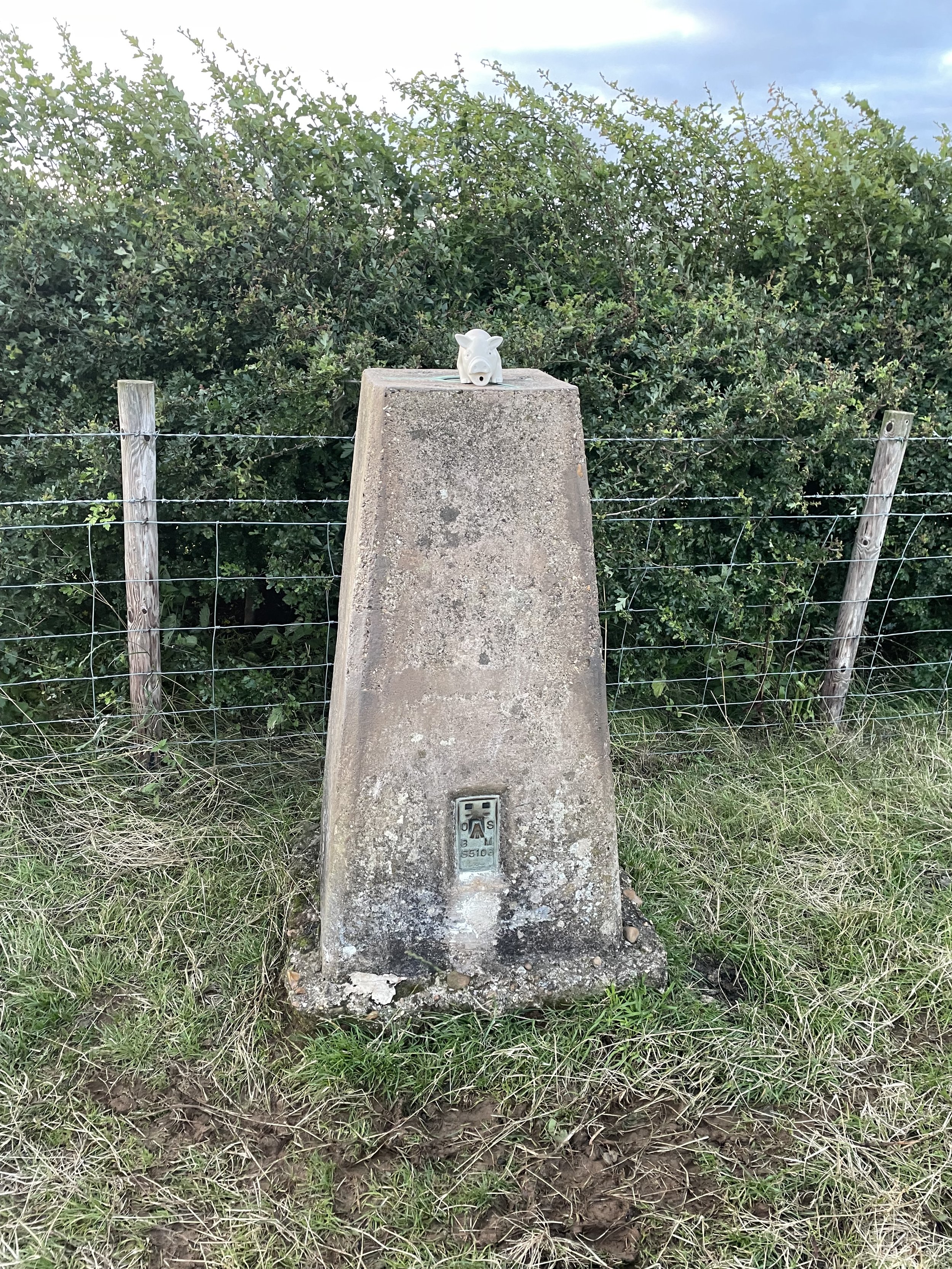
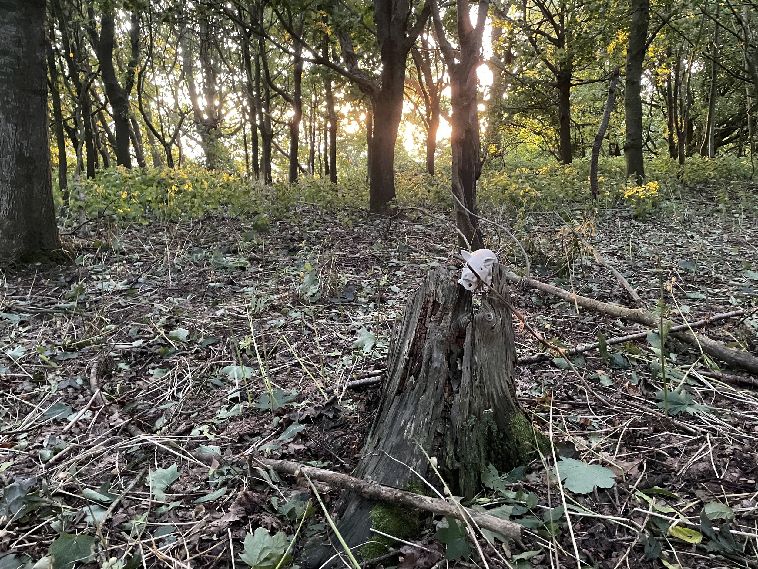
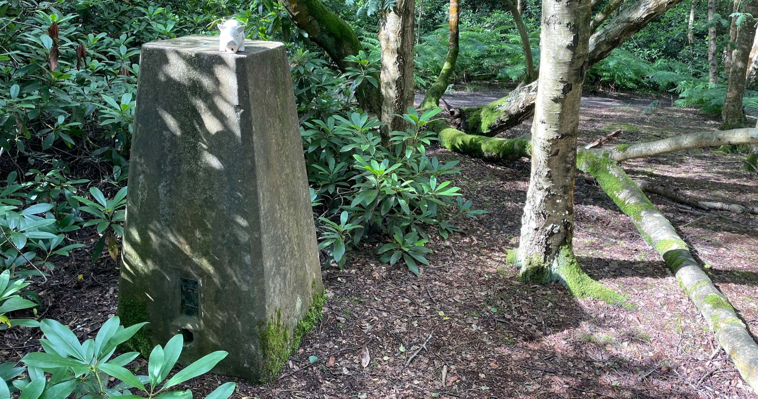
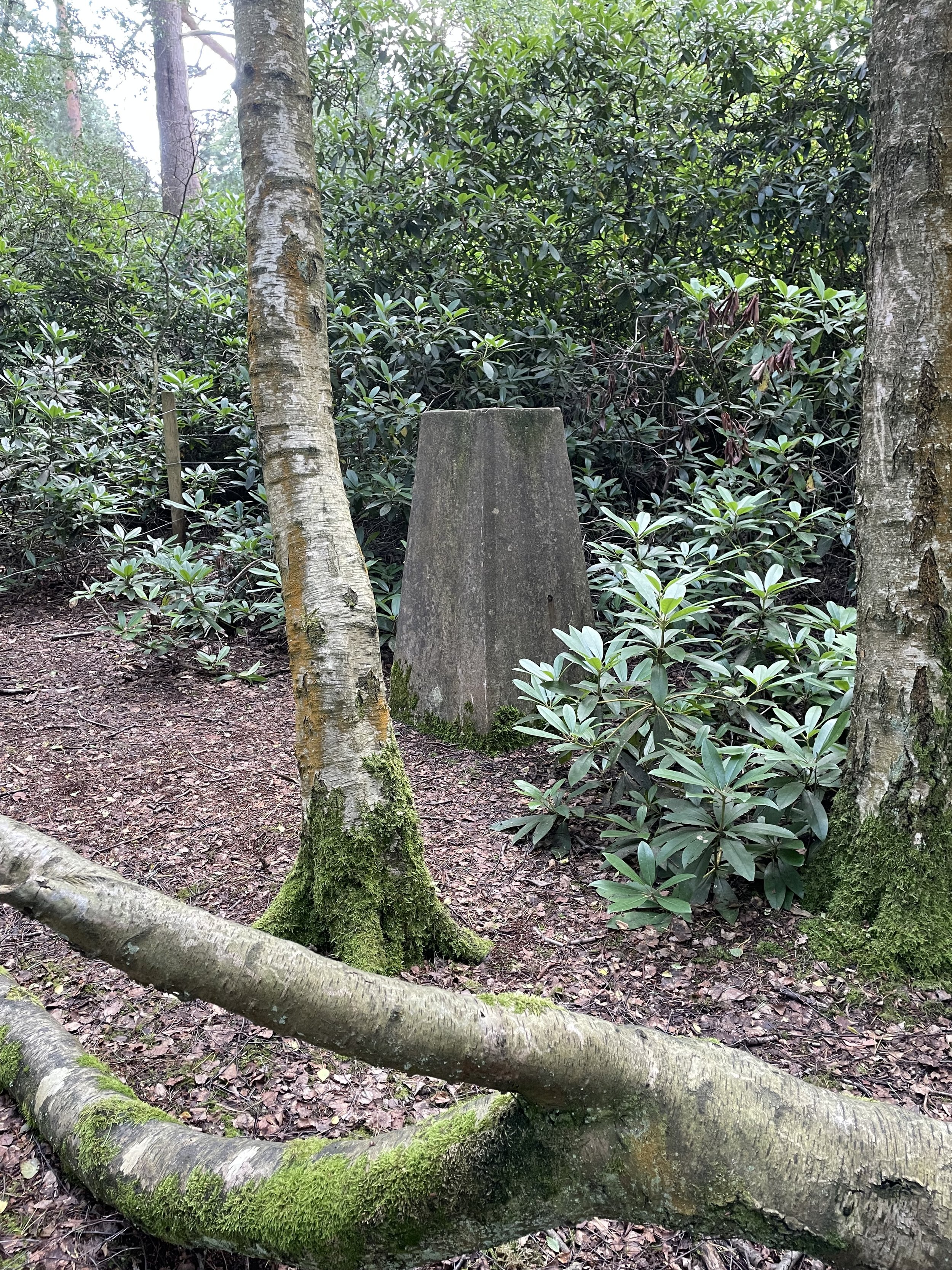
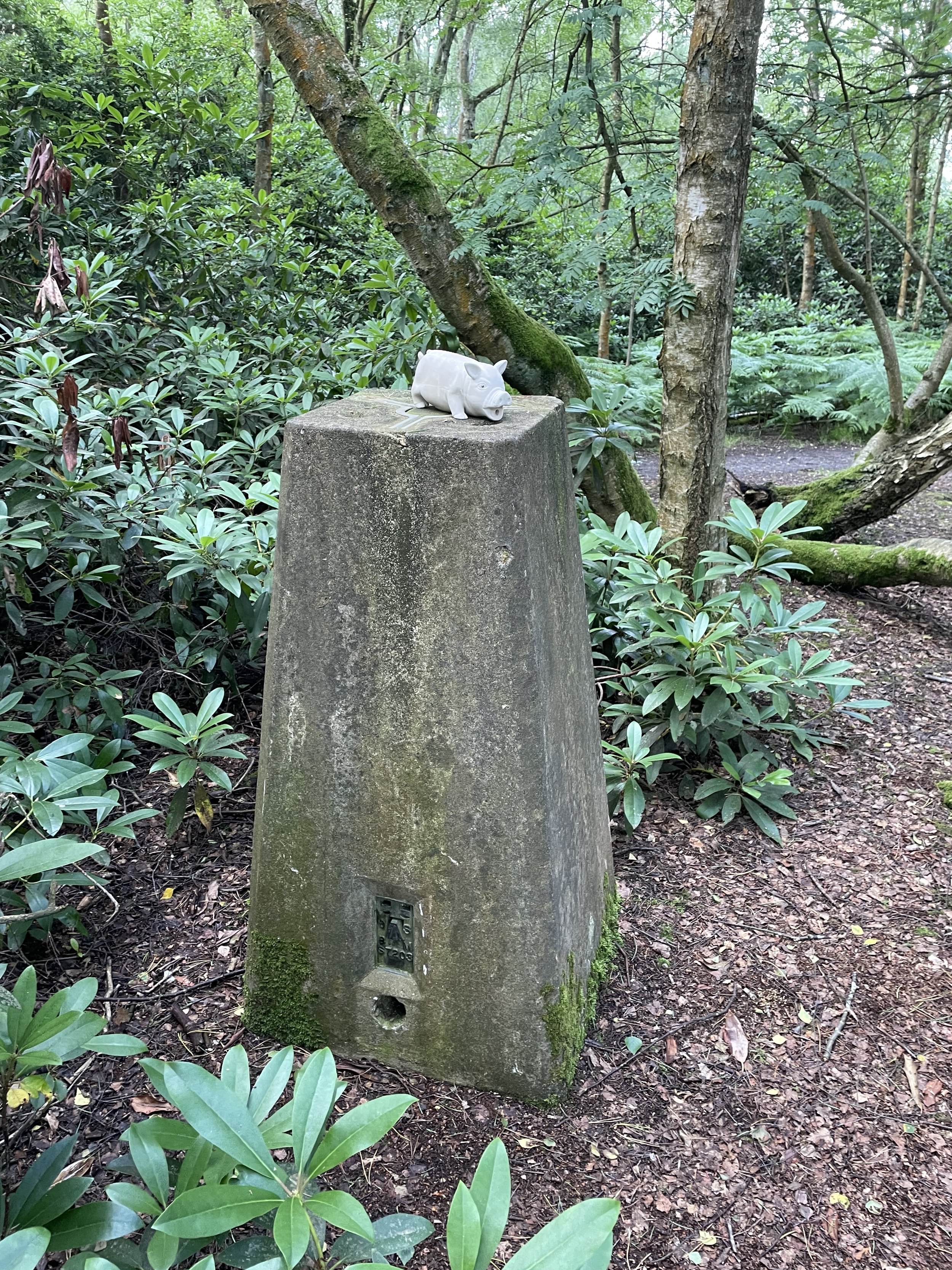
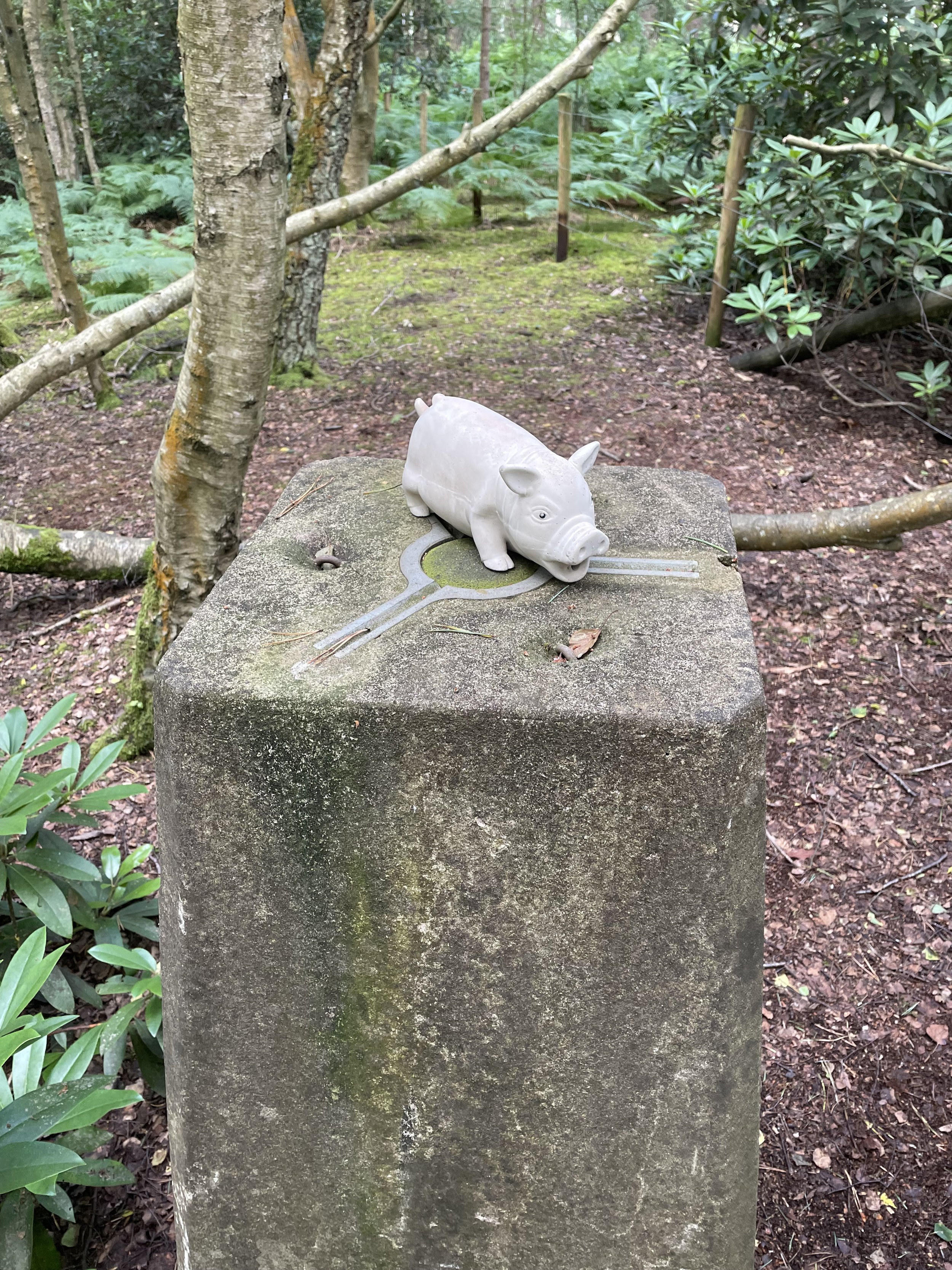
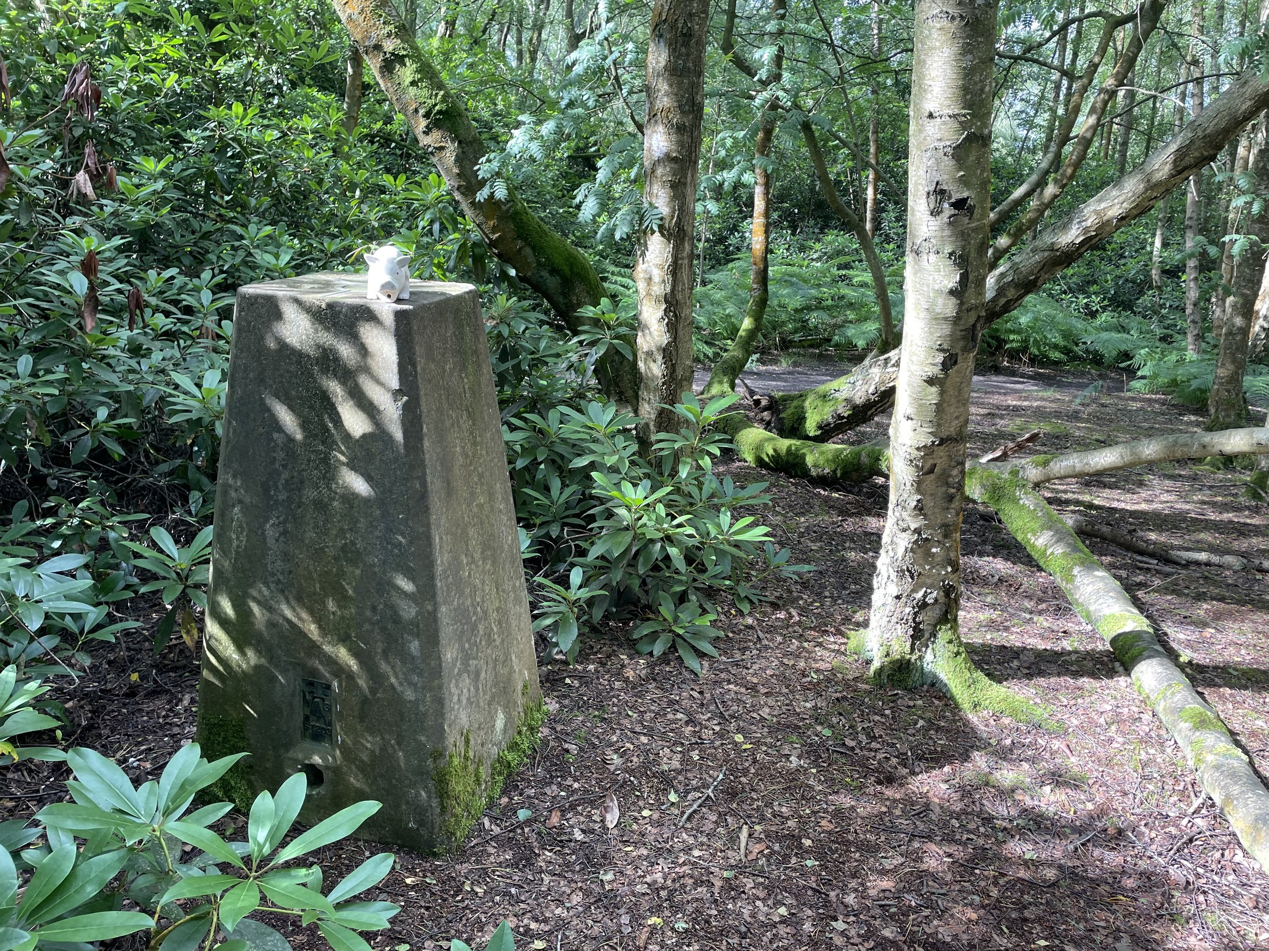
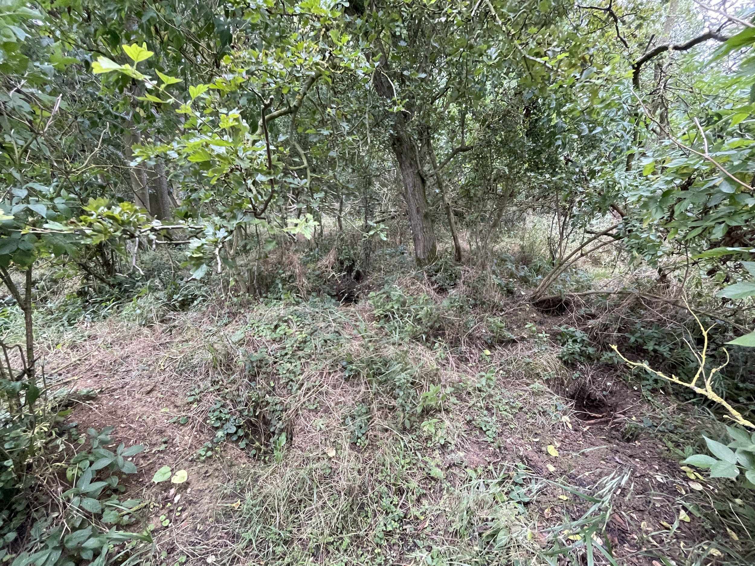
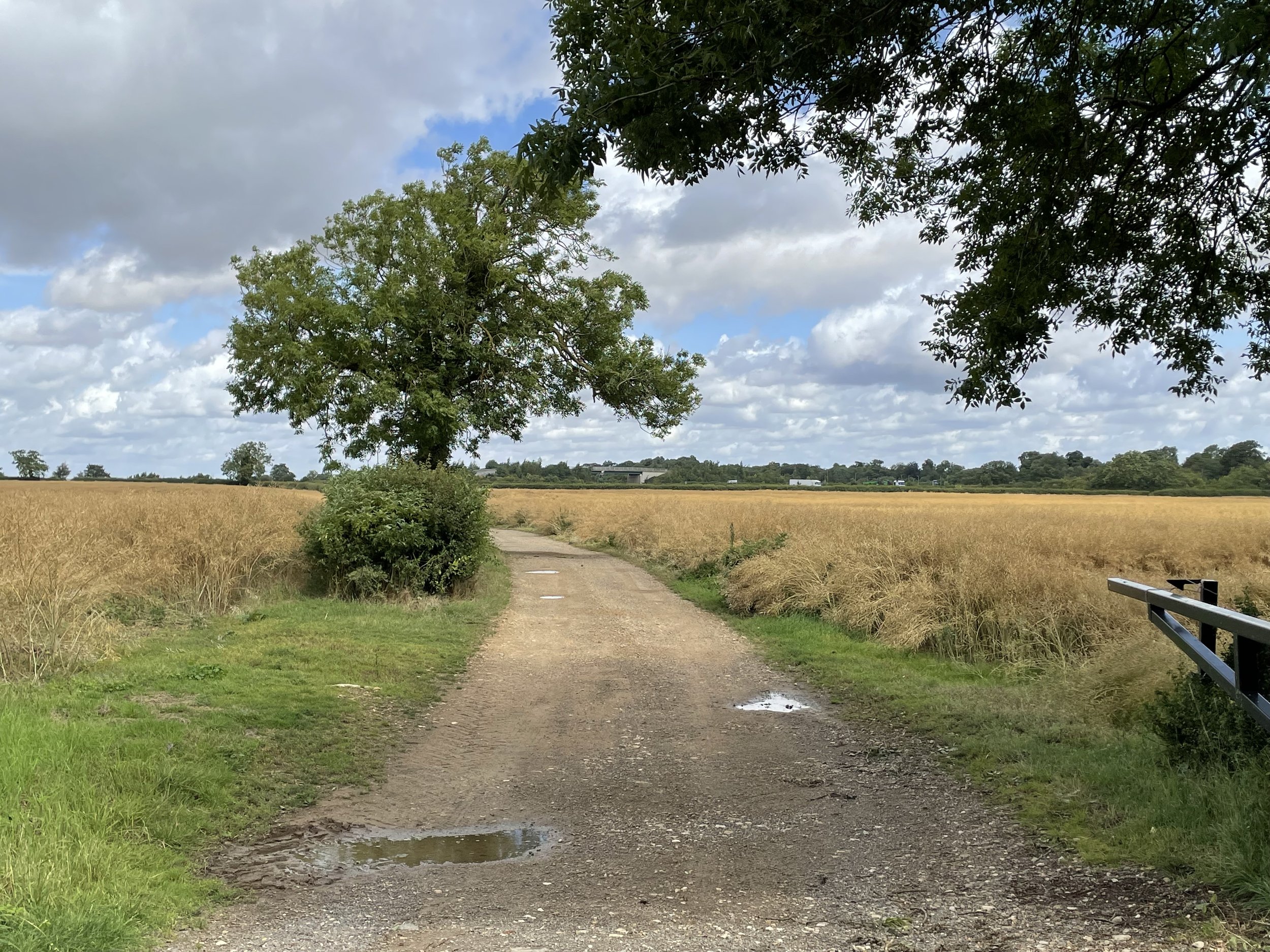
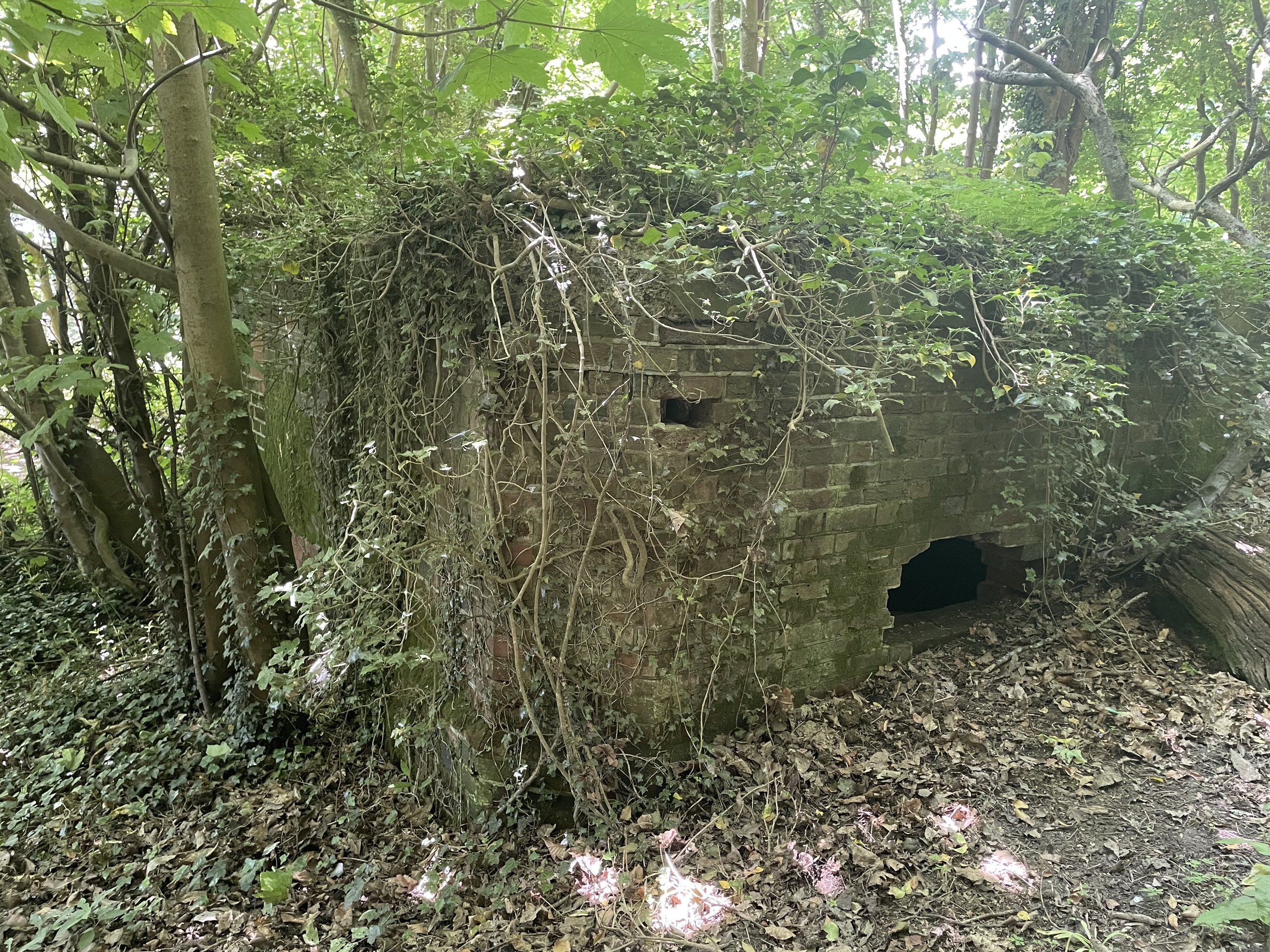
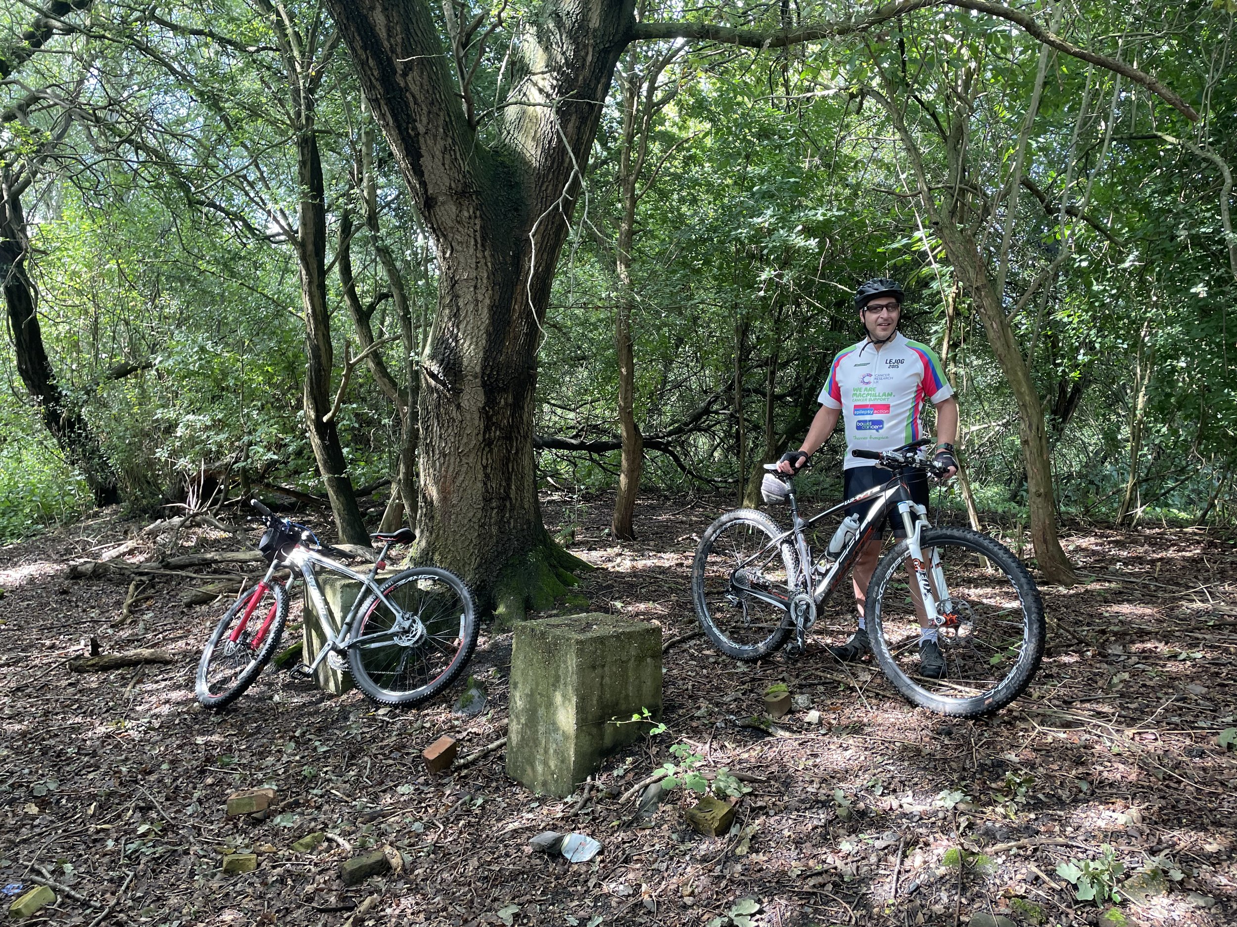
Follow the route of the old railway in a northerly direction to meet the site of the old Yeoveney Halt Station. There’s not much left but you can find some concrete remains in a clearing to the right hand side of the track.

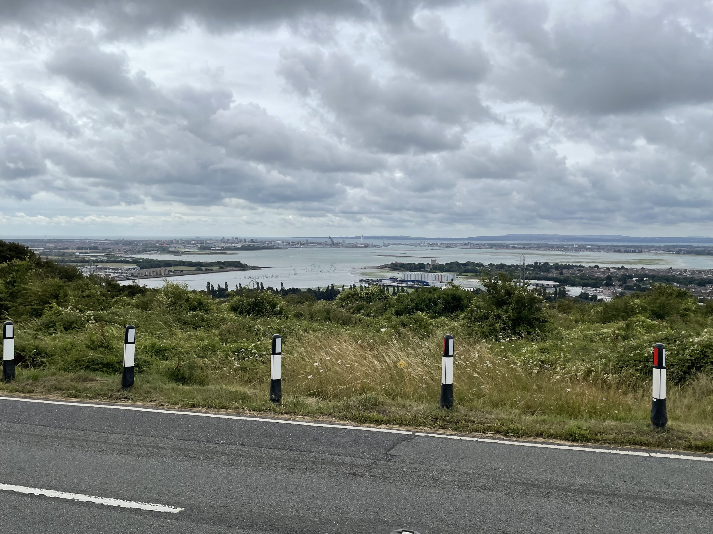
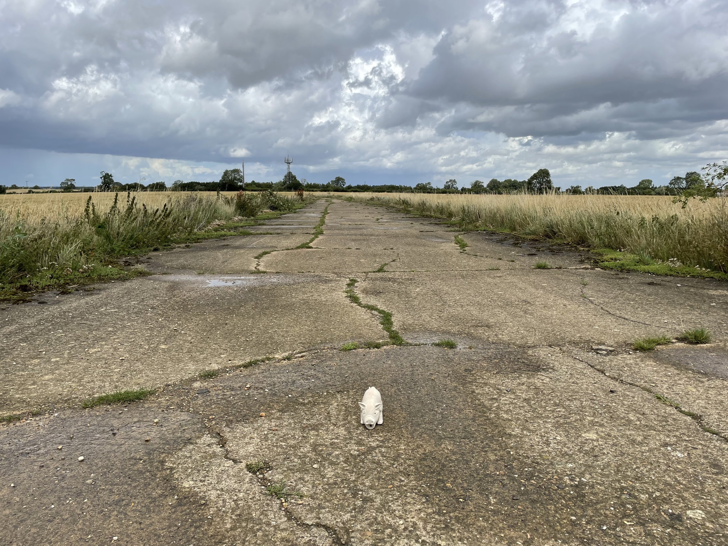
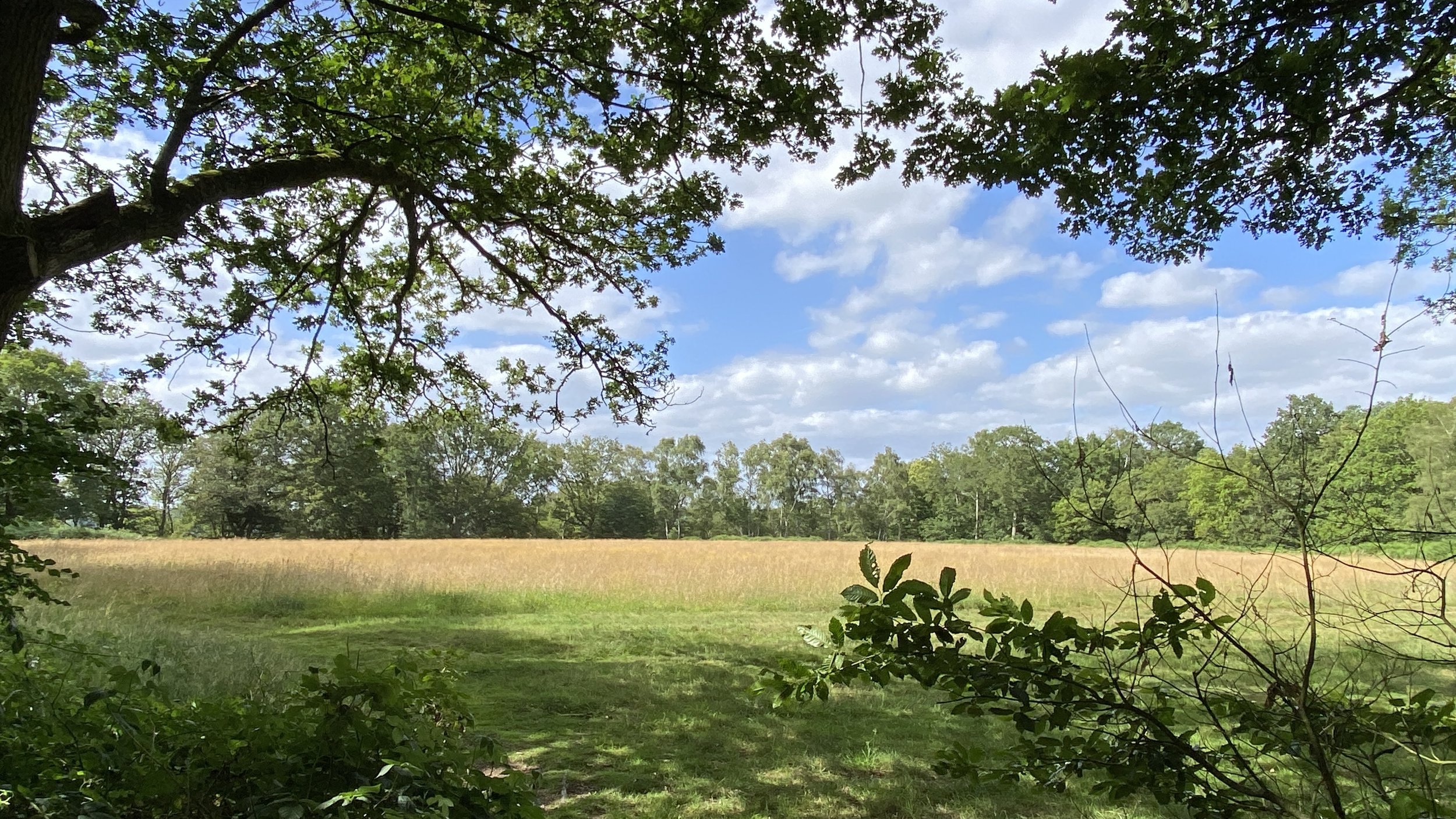
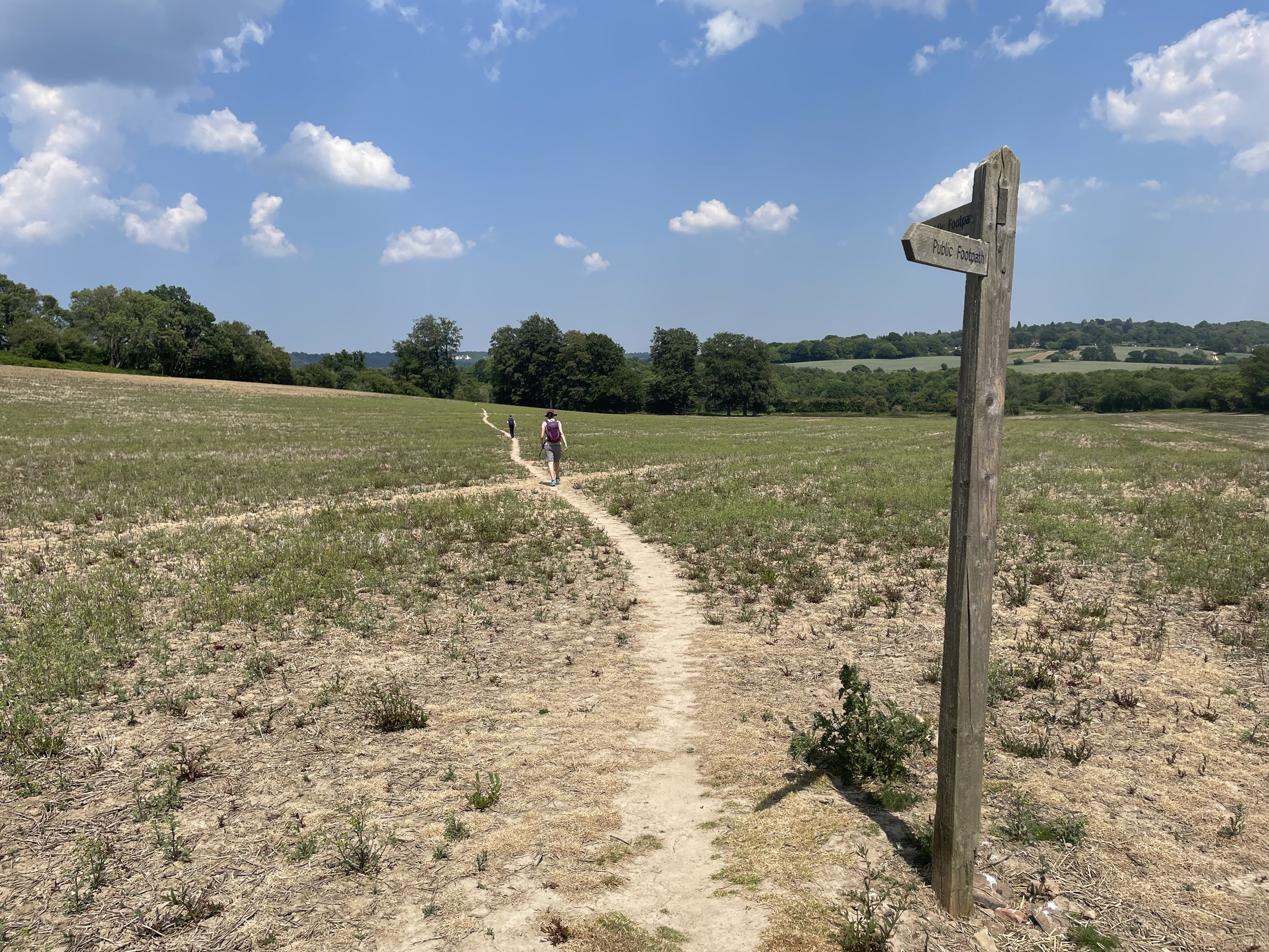
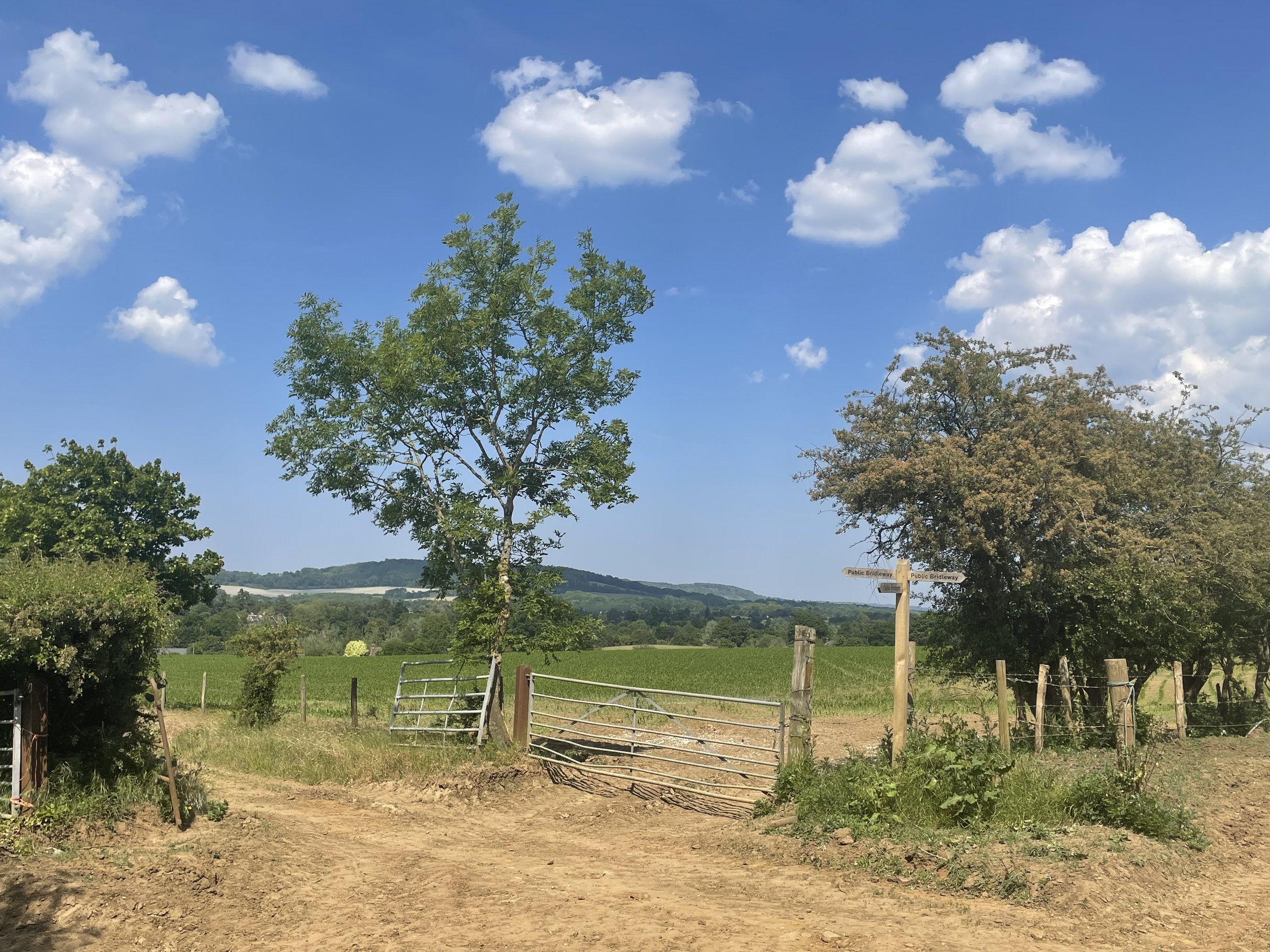
Continue north following the edge of the M25 and River Wraysbury and take a path that passes through Junction 14 of the M25 to reach the western edge of the motorway. Just before you join Horton Road take a track heading south for about 100m to the approximate site of the old Poyle Halt Station. Nothing remains. You’re now also at the most westerly point of Greater London.

Retrace your route back from Poyle Halt to meet Horton Road following it west and then join Poyle Road at the roundabout. Take a right on the next roundabout onto Blackthorne road, following it east to the junction of Blackthorne Crescent where you’ll be at the approximate site of Poyle Estate Halt. As with the previous station, nothing remains.

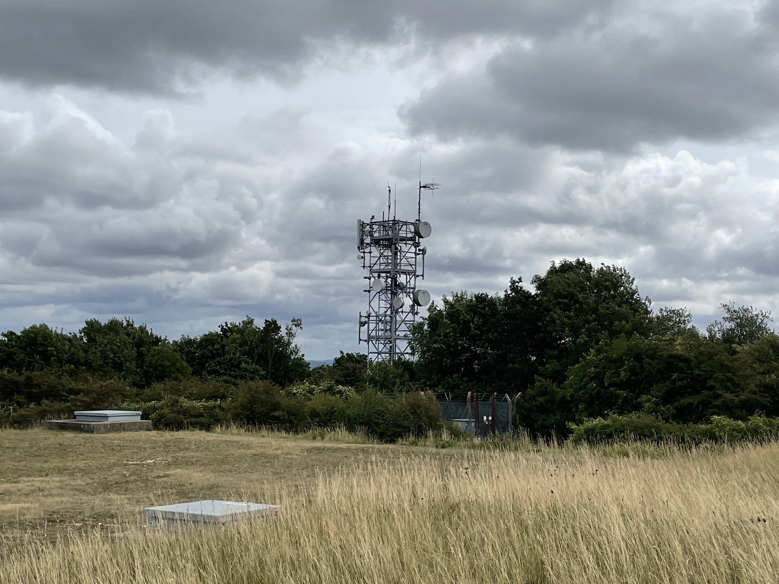
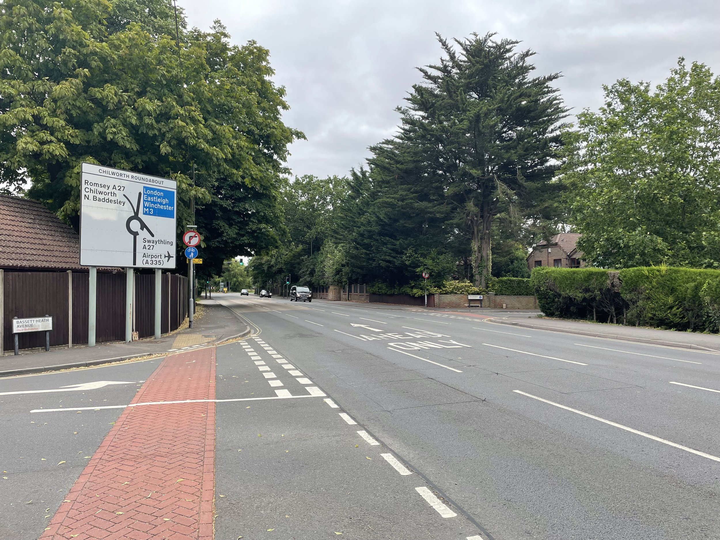
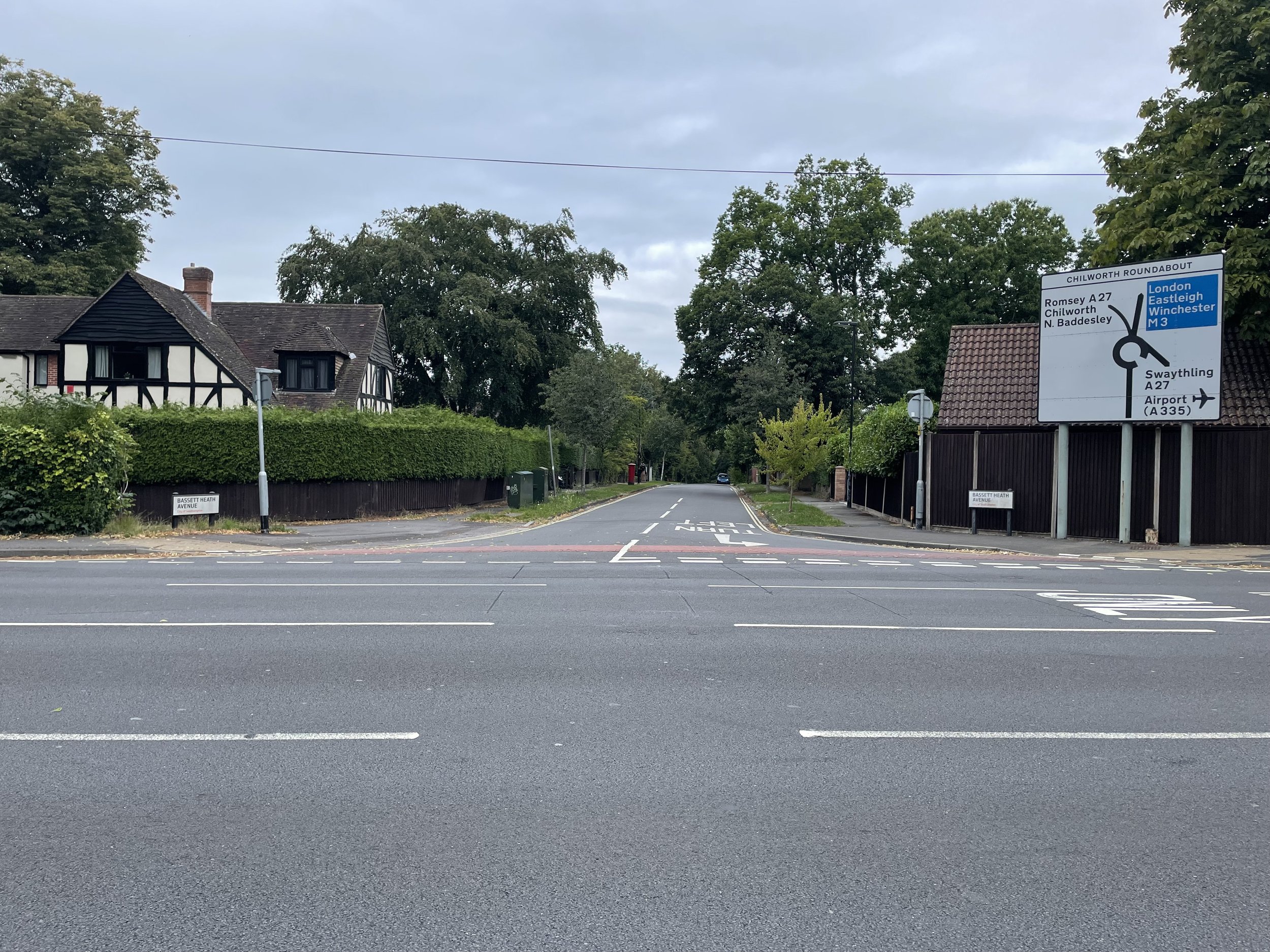
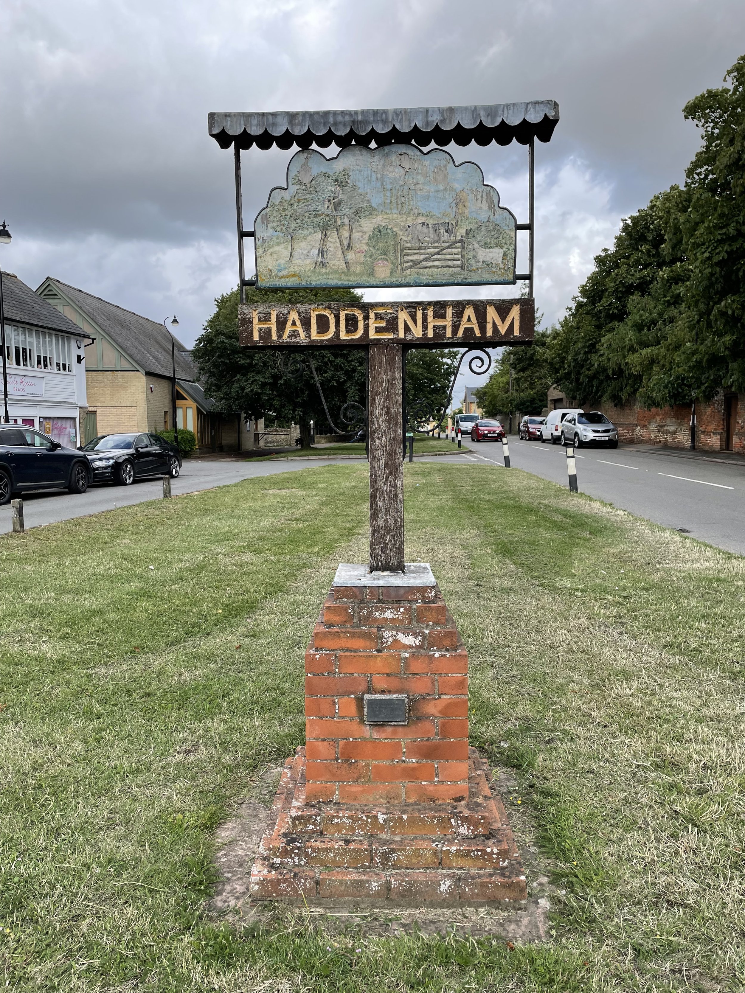
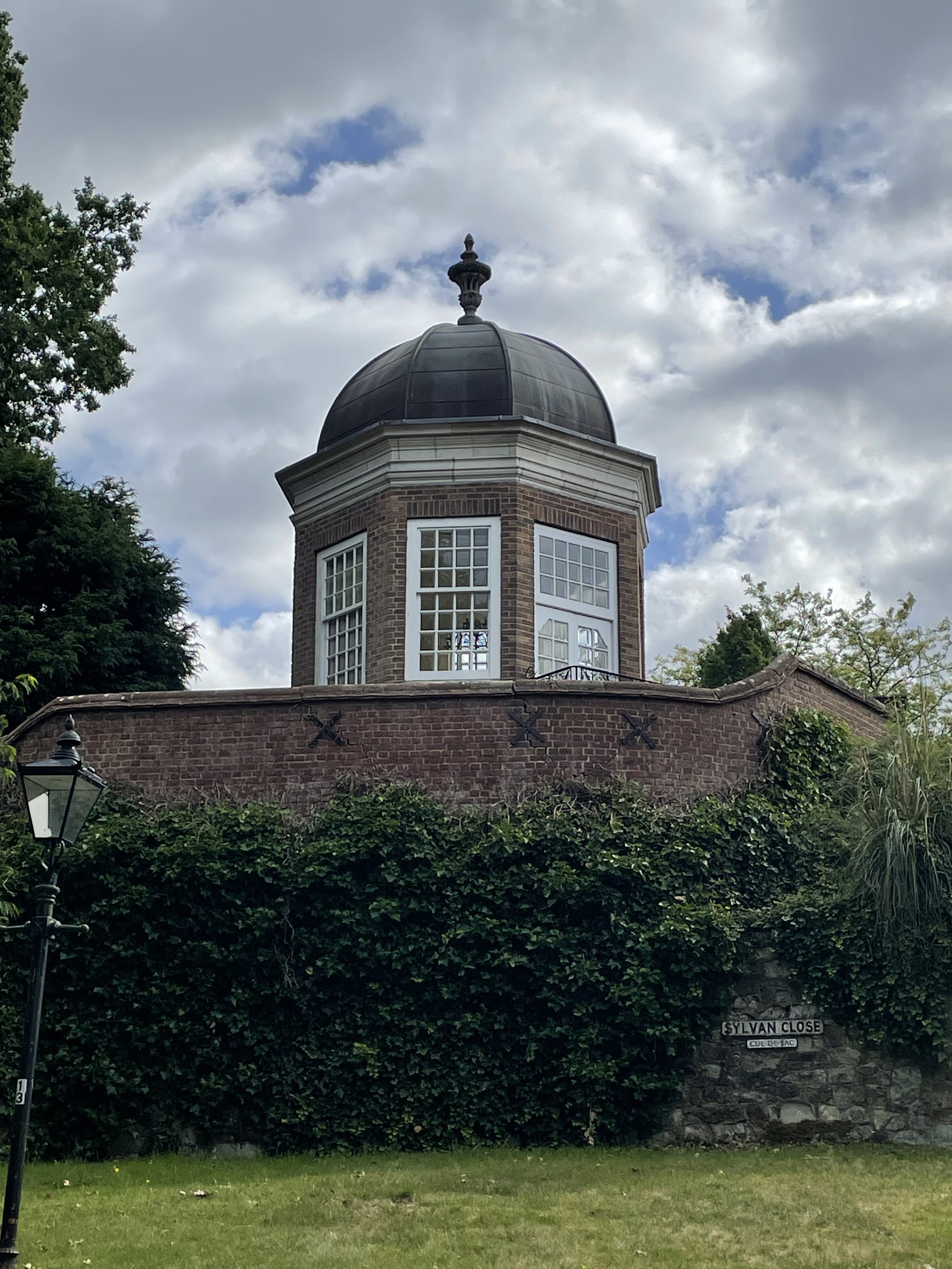
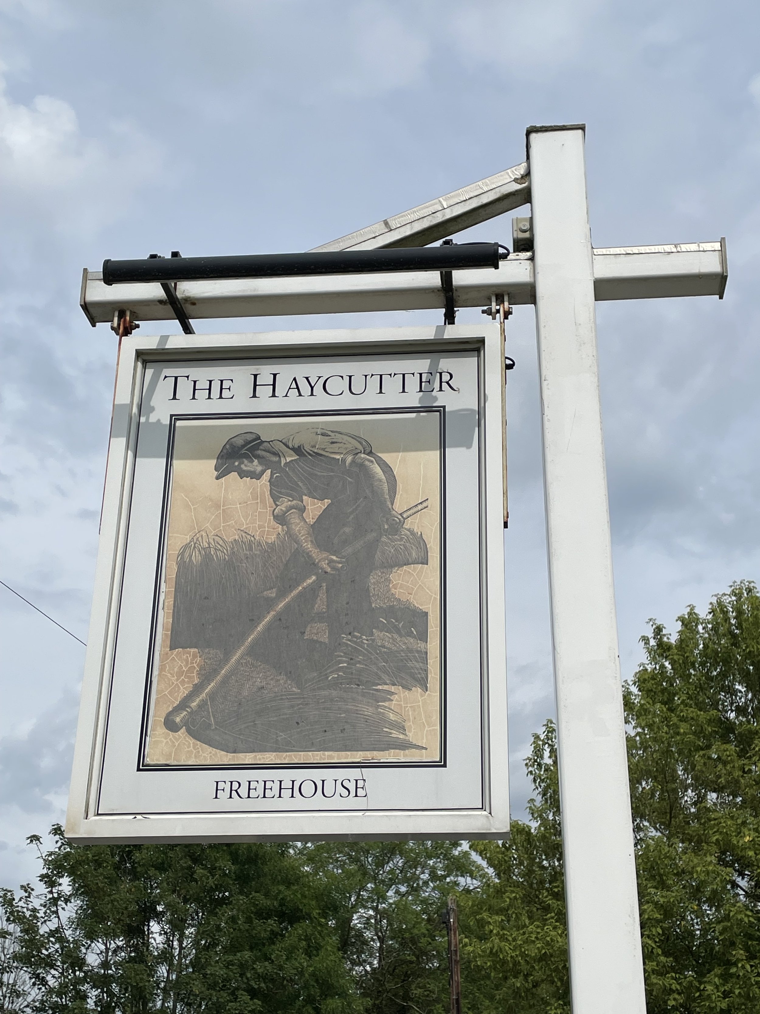
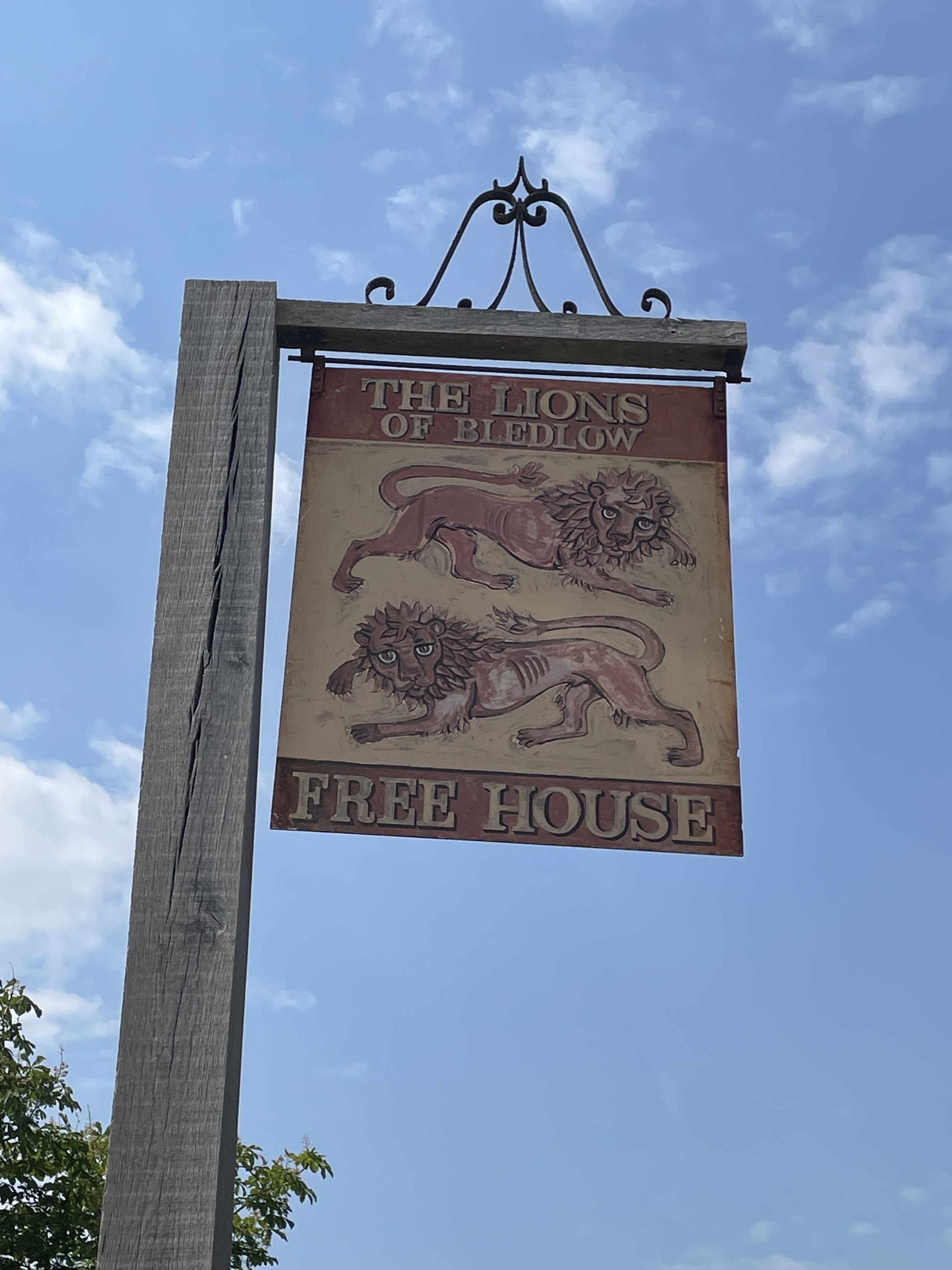
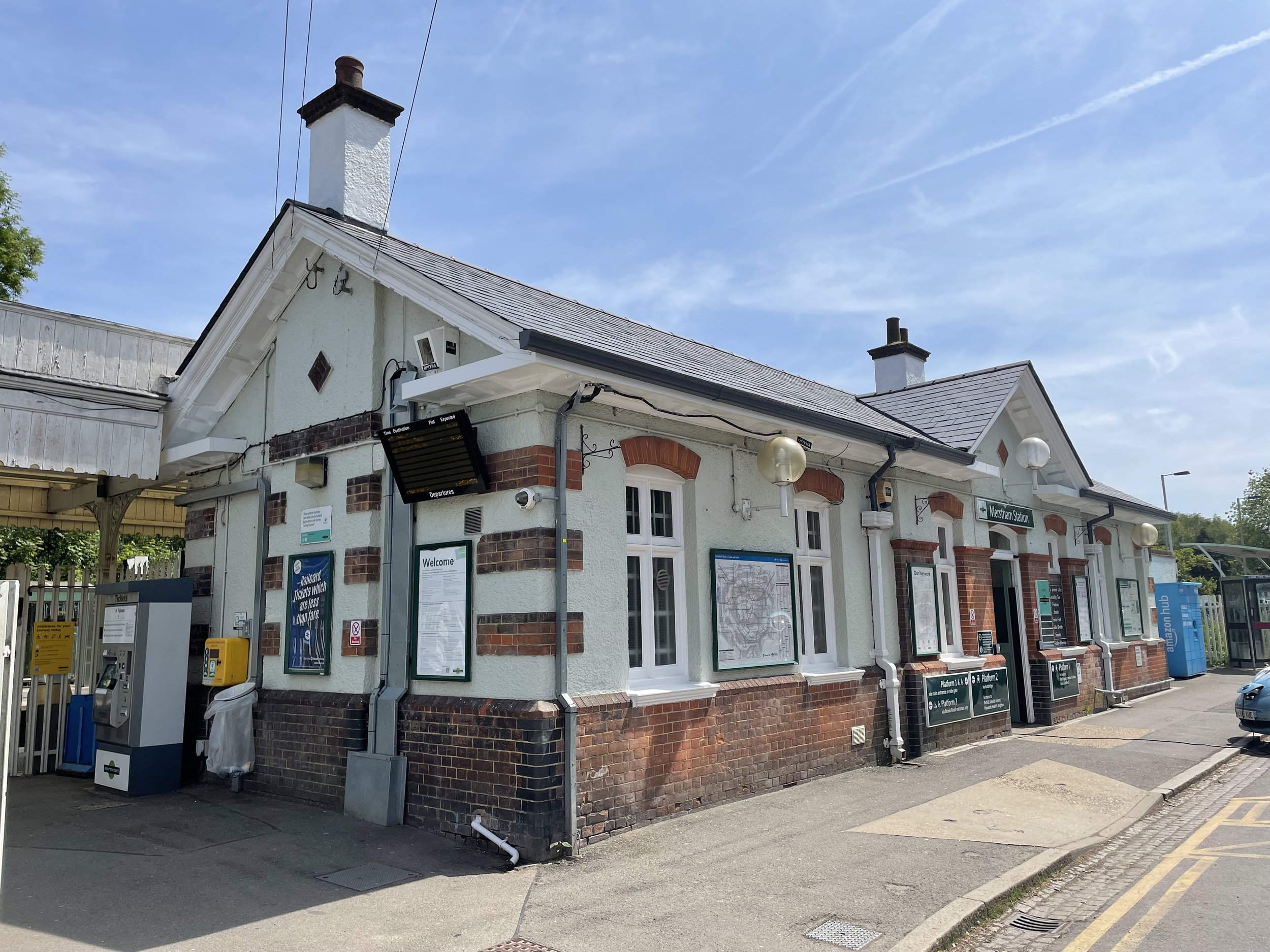
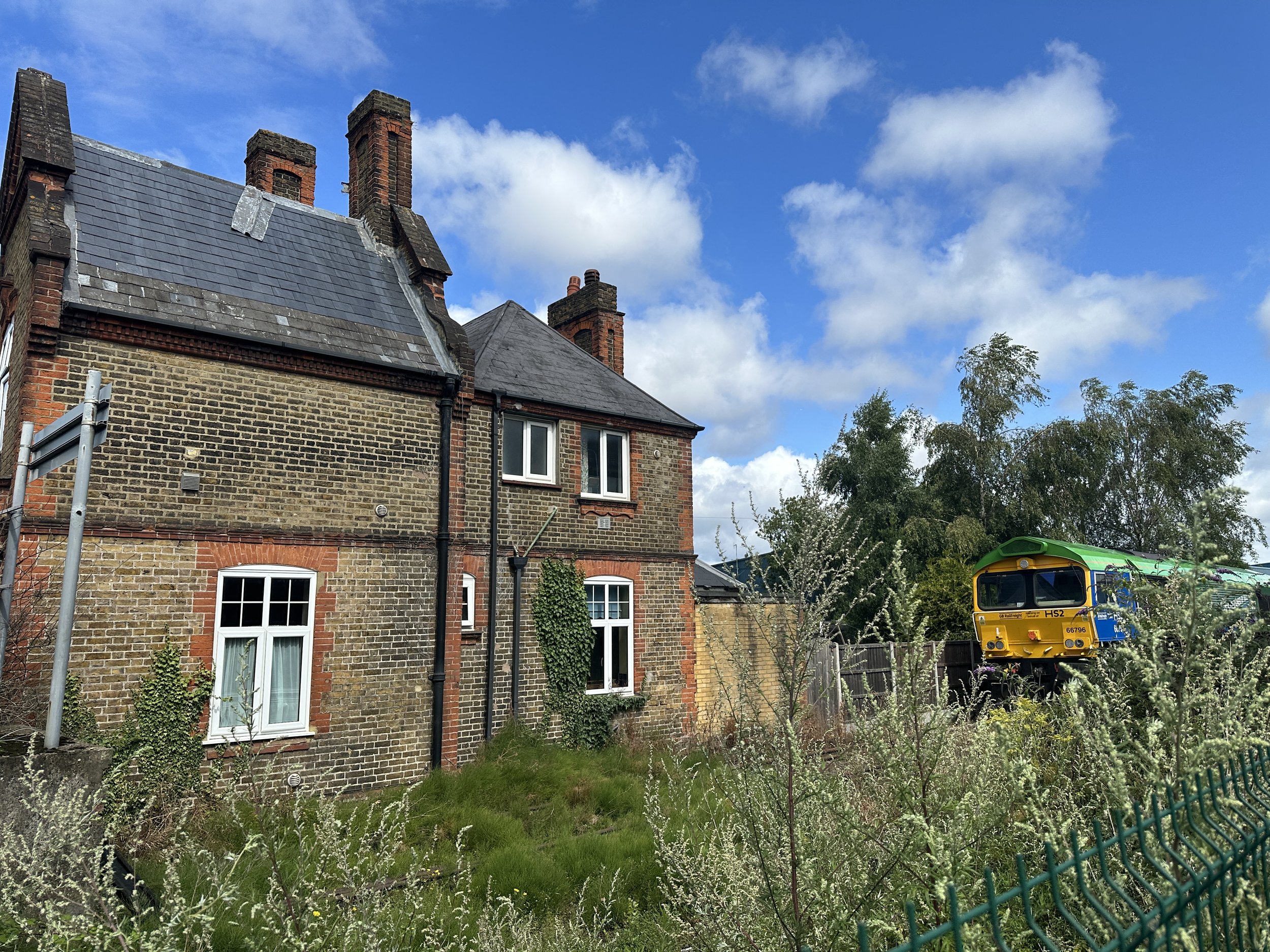
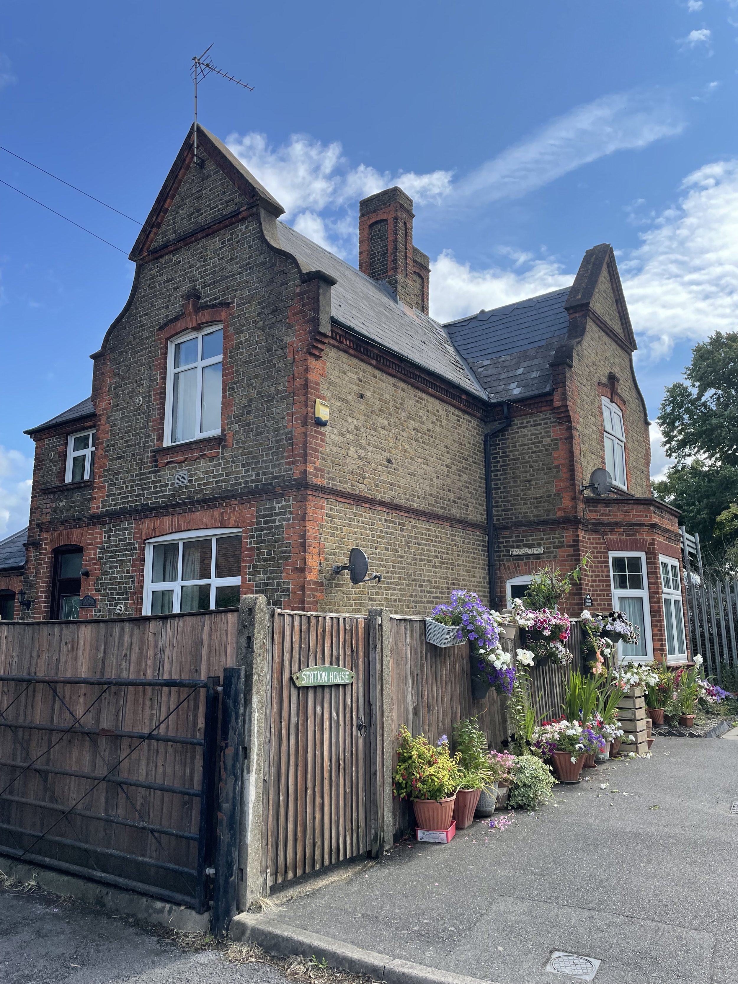
Retrace your route back down Blackthorne Road and take a right back onto Poyle Road heading north, then a right onto Bath Road. Colnbrook Station can be found on the left hand side of Bath Road just after the junction with Meadowbrook Close. The old building still remains and is now a private house called Station Cottage. After Colnbrook Station the rail line is still in use but now only for cargo and not for passengers.

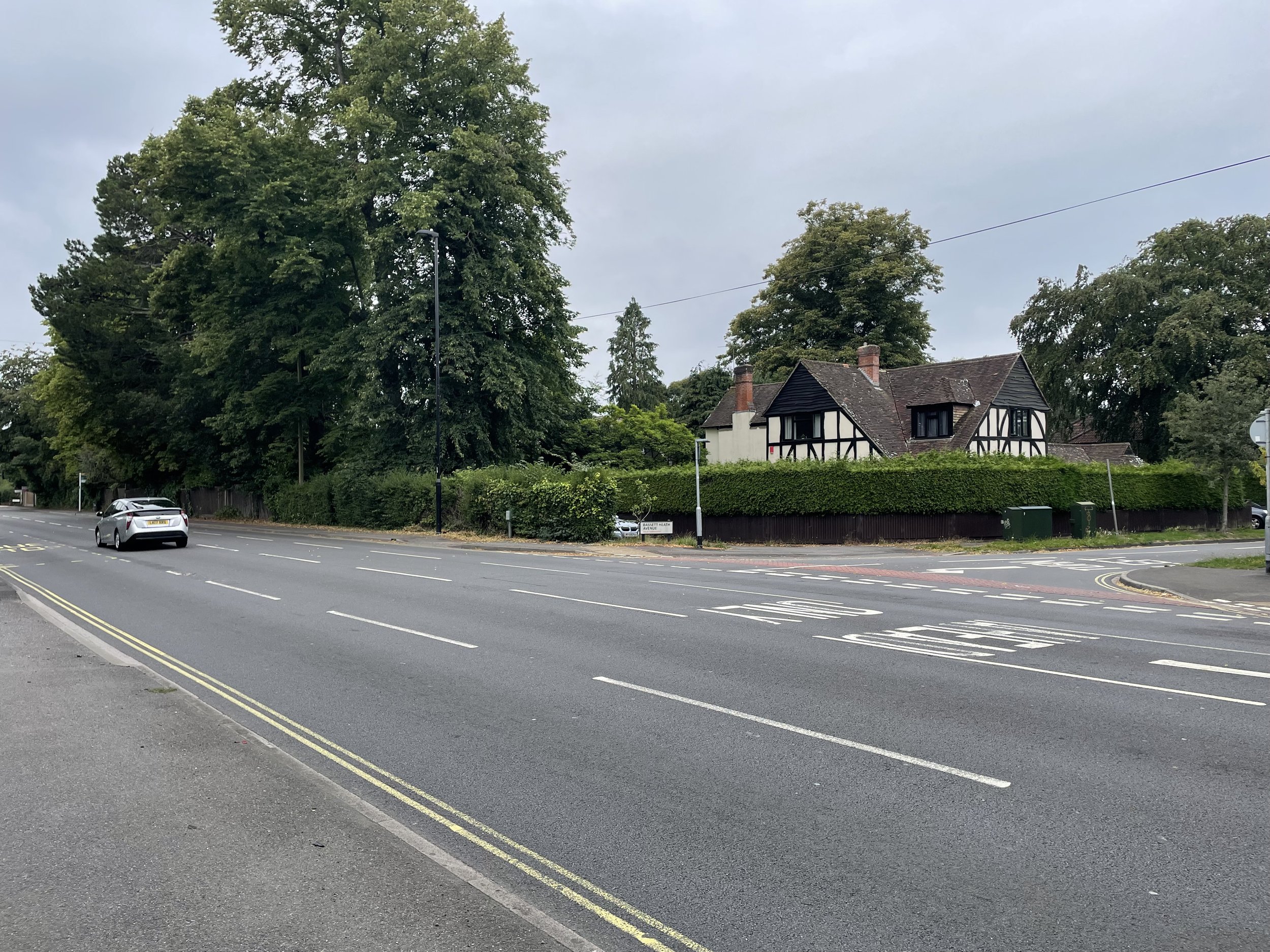
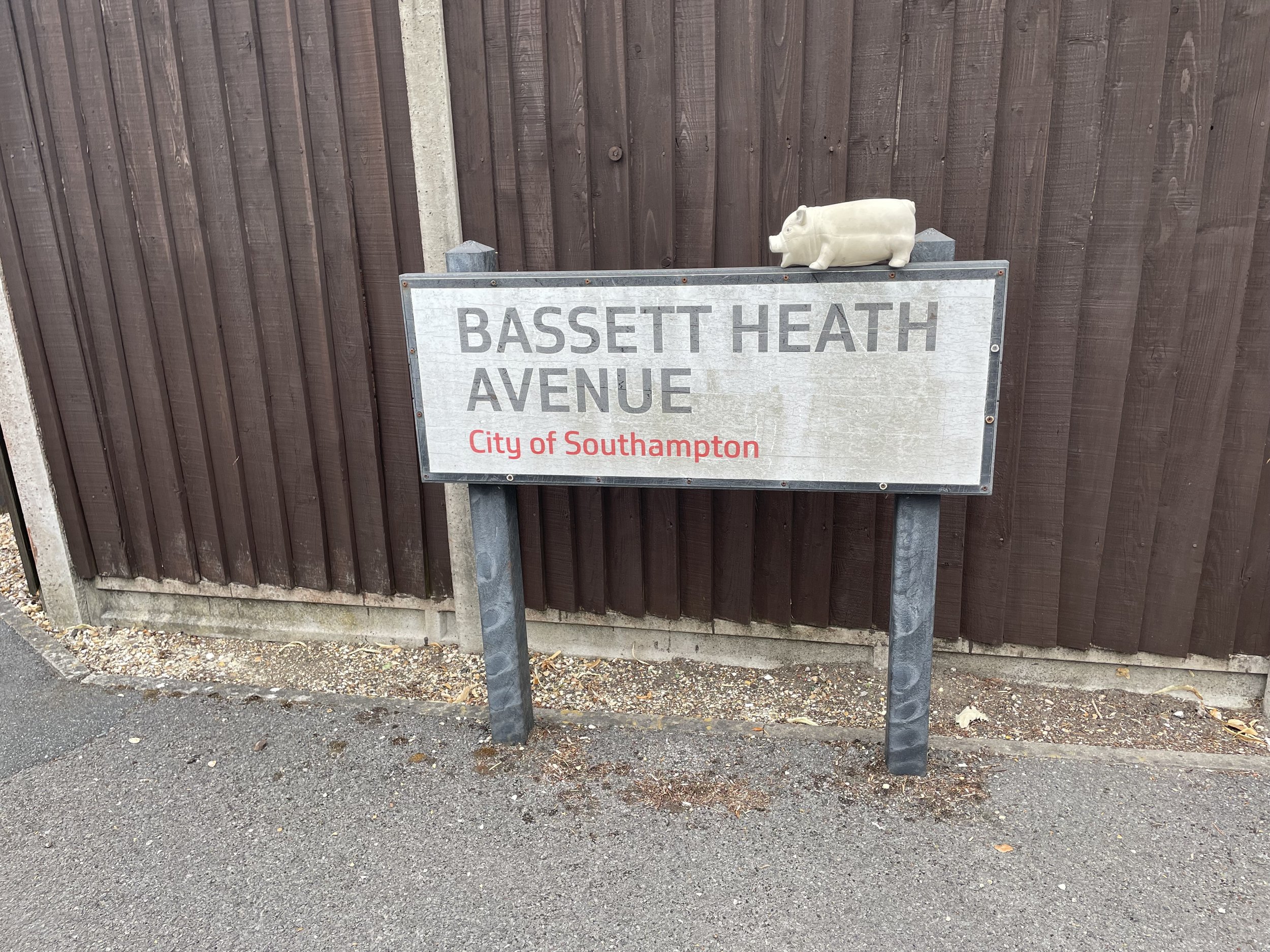
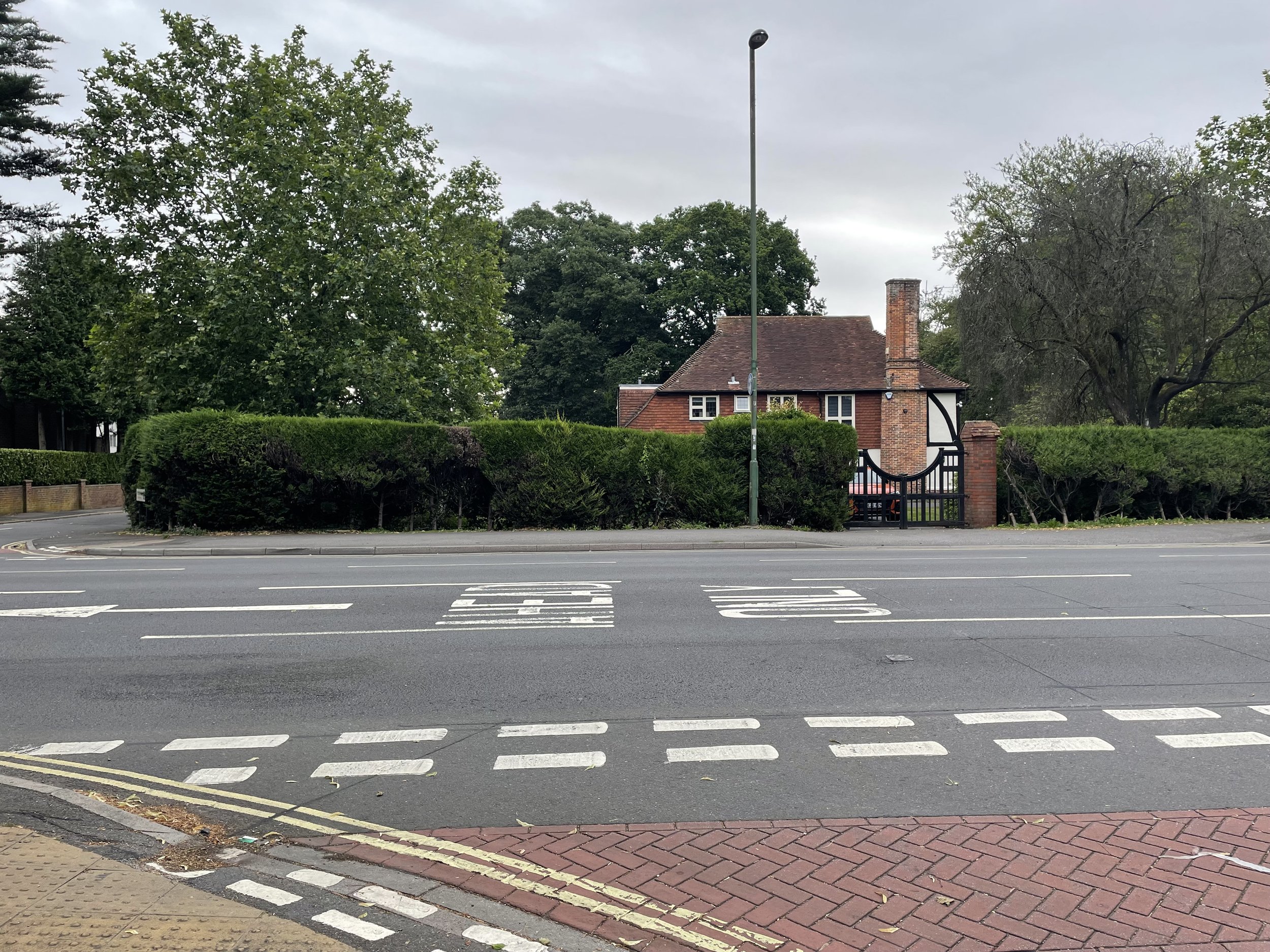
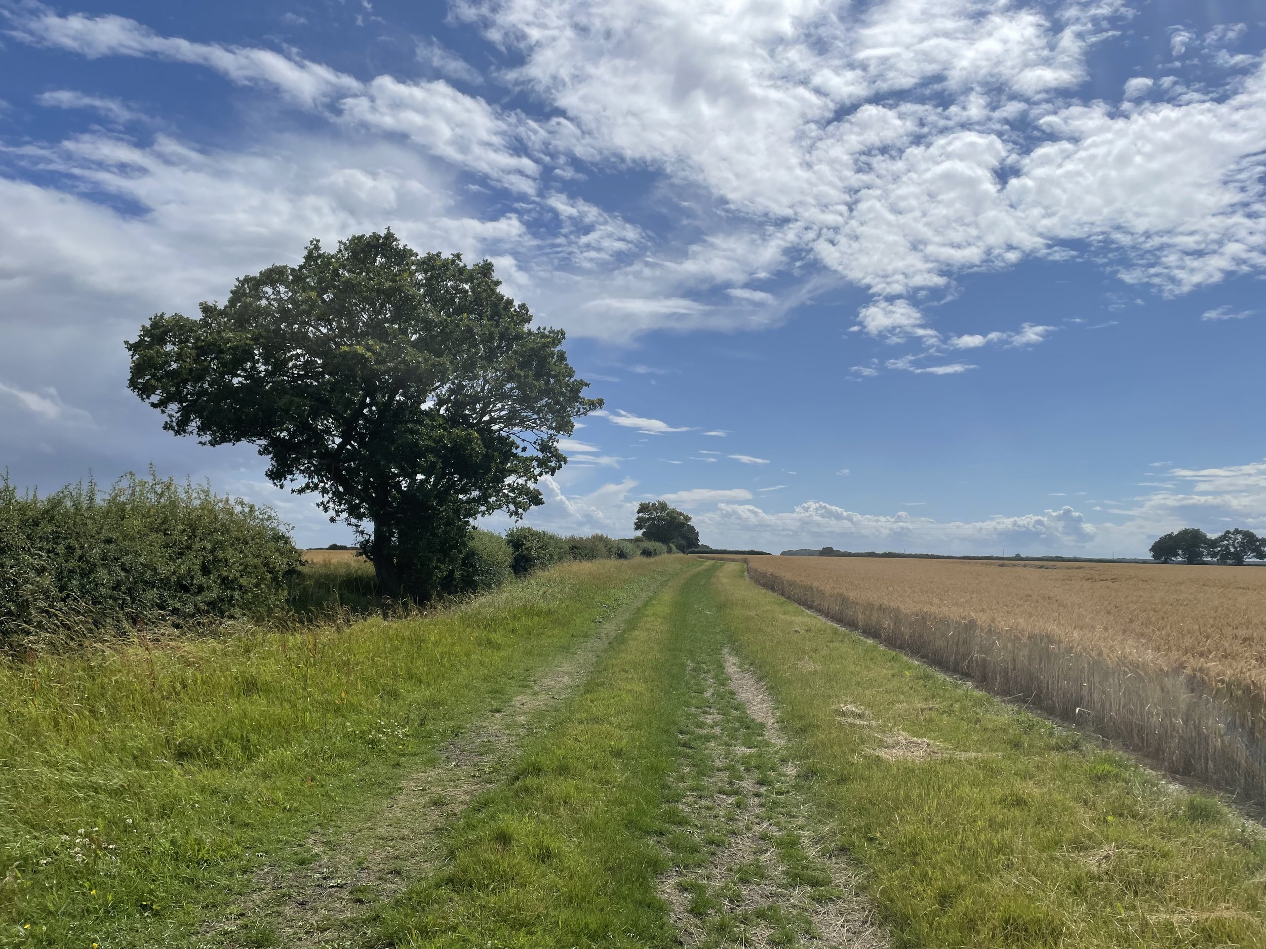
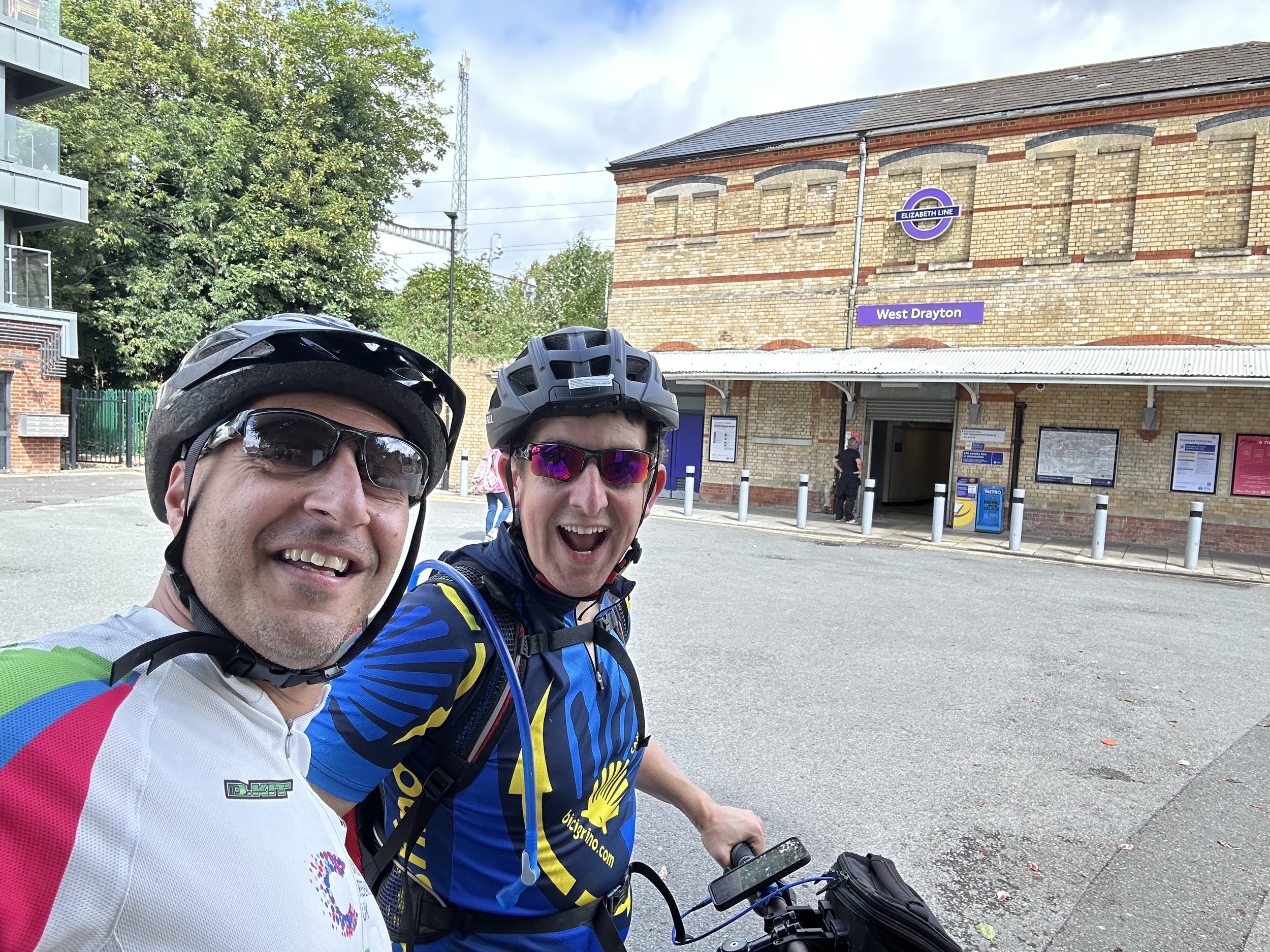
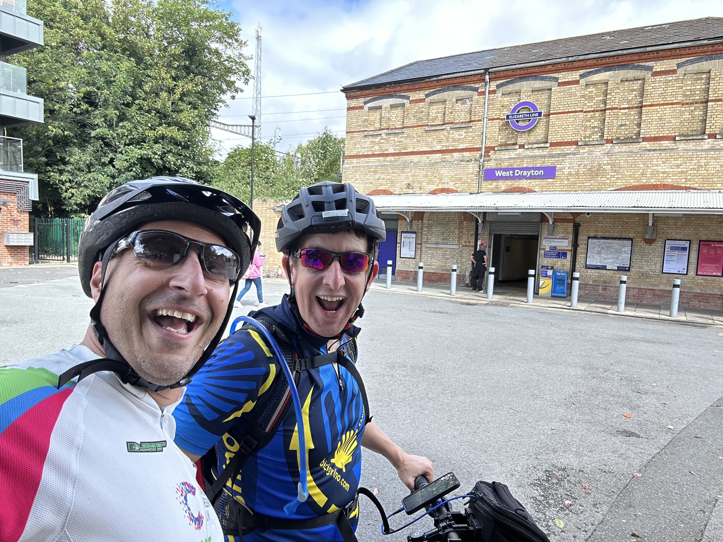
There was one extra station north of Colnbrook station called Colnbrook Estate Halt. There’s nothing left of it and I couldn’t find a way to get close to the location so we cycled on to West Drayton. To do this continue east along Bath Road over the M25 then take the first track on the left which takes you north to Harmondsworth Moor. Pass under the M4 near the M4/M25 junction and onto a road called The Common. Continue north, then right onto Cricketfield Road, right onto Mill Road, left onto Station Road, right onto Warwick Road where you’ll find West Drayton Station and the end of this section.


Line 2: West Drayton to Uxbridge Vine Street

This section follows the Uxbridge (Vine Street) branch line from West Drayton station. The line ran passenger services from 1884 to 1962 and completely closed in 1979. Today nothing remains of Uxbridge Vine Street Station or Cowley Station, the only other station on the route. You can still find evidence of the line in the shape of streets and some road names.

From West Drayton Station cross over High Street and follow Tavistock Road, following the curve of the old railway. Take a right onto Trout Road over the Grand Union Canal, a left through a path onto Chantry Close then a left onto the A408. Taking a right onto Moorfield Road then take a left onto St Martin Close, a right onto New Peachy Lane and a left onto Peachy Lane. Note that in Geoff’s video he found some alleyways between the houses that traced a closer route to the old line.

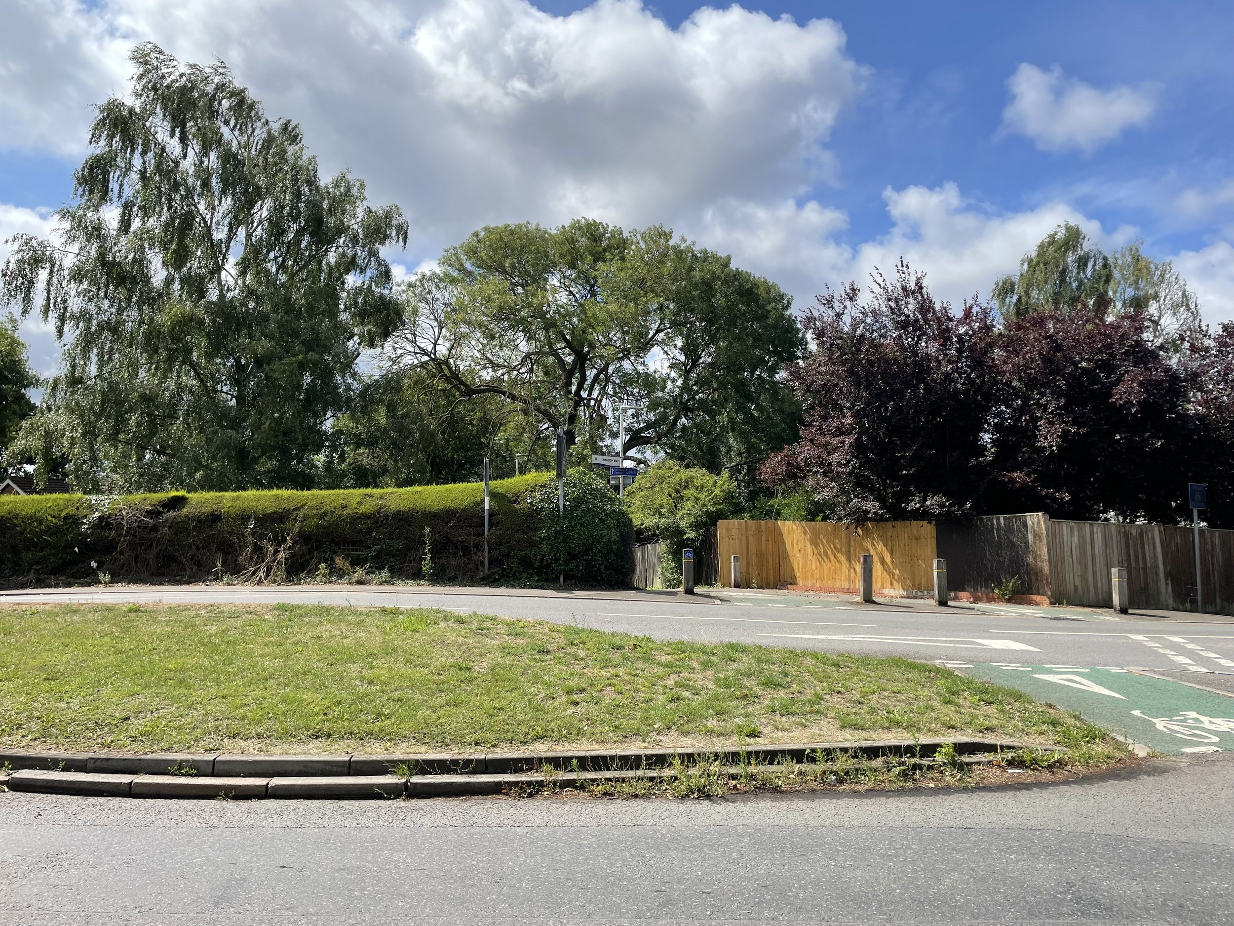
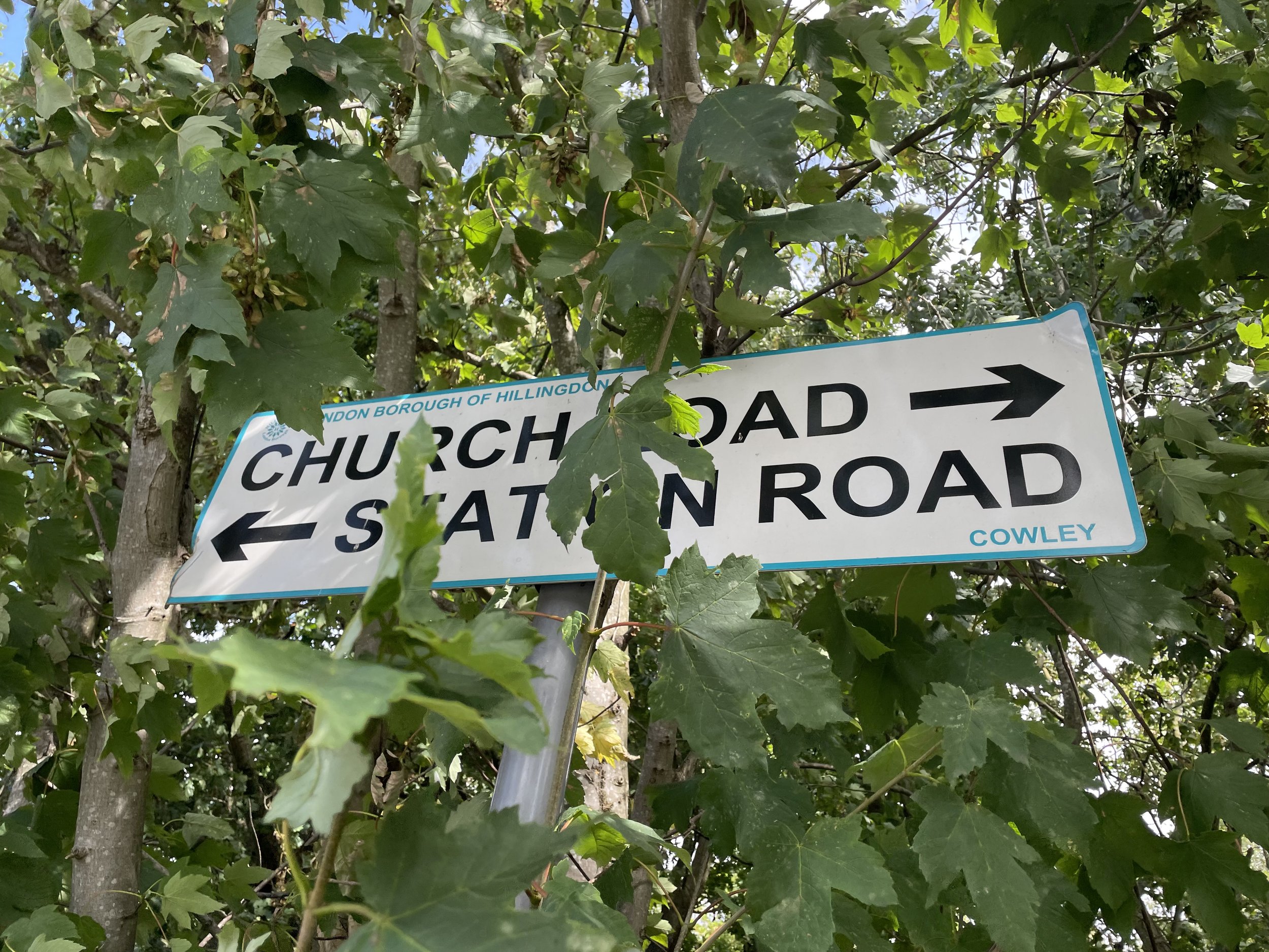
Take a left off Peachy Lane onto Kingdom Lane, a cycle path that directly follows the route of the old railway. Follow this for 0.5km to Station Road, near the site of the old Cowley Station. Cross Station Road and continue to follow the old rail route up Cleveland Road, Whitehall Road and Kendal Mews. You’ve now arrived at the busy A4020 (Hillingdon Road) dual carriageway that runs through Uxbridge. The Hertz building on the north side of the A4020 is on the site of the old Vine Street Station.


Line 3: Uxbridge High Street to Denham

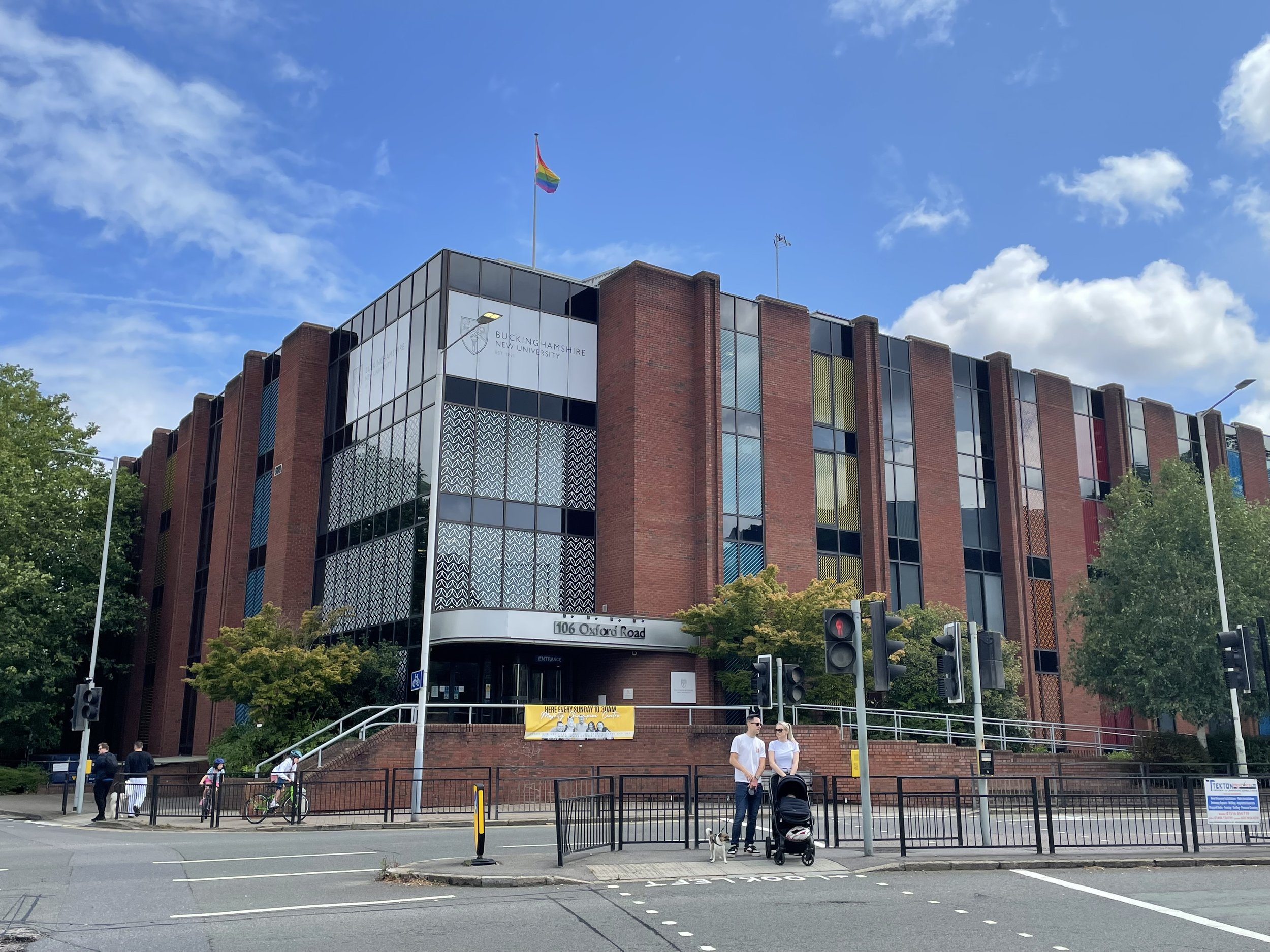
From the site of Uxbridge Vine Street Station navigate round the roundabout to pick up Oxford Road to the site of the old Uxbridge High Street Station at 106 Oxford Road. There’s no remains of the old station and the site is now a building for the Buckinghamshire New University.

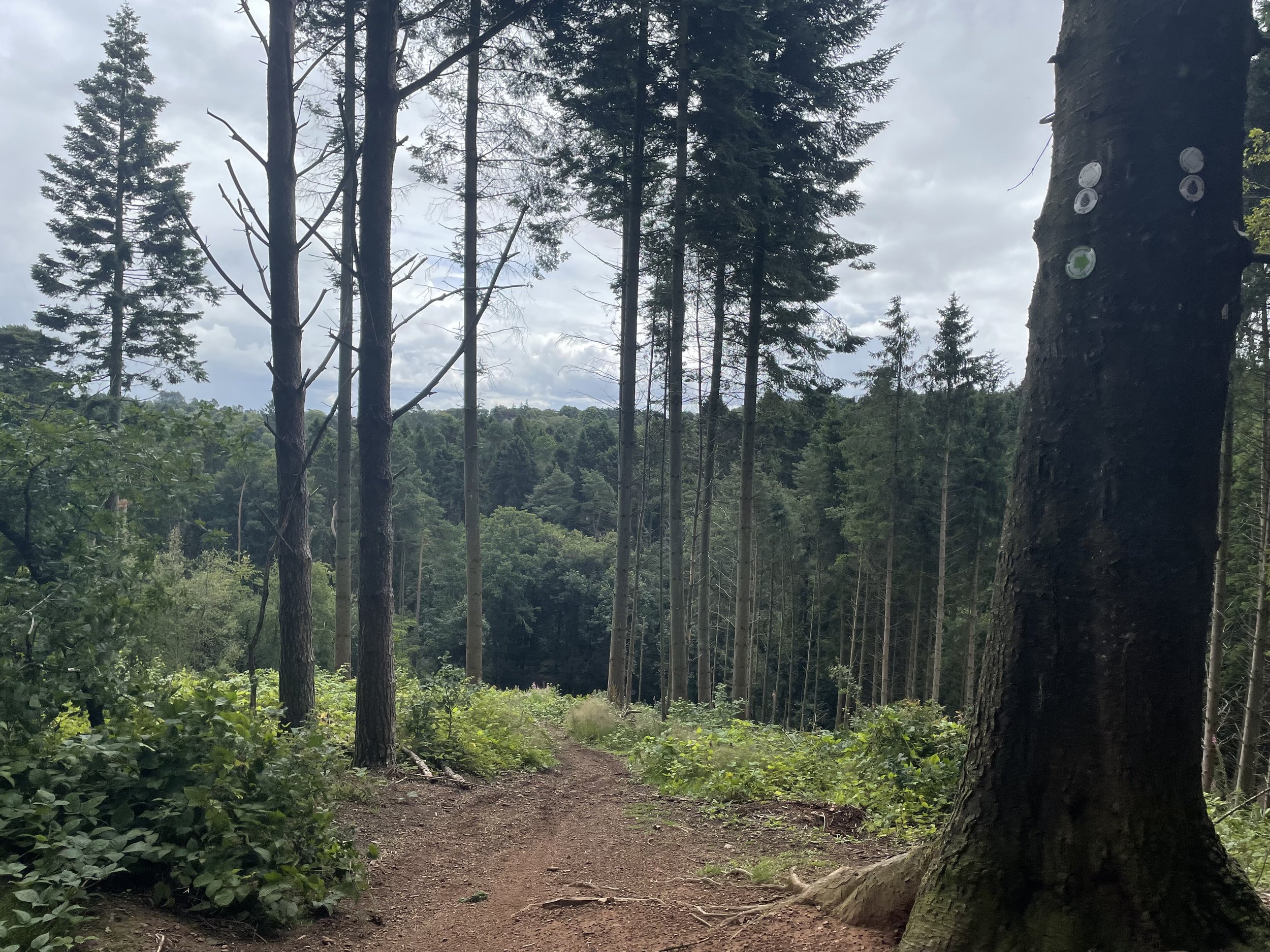
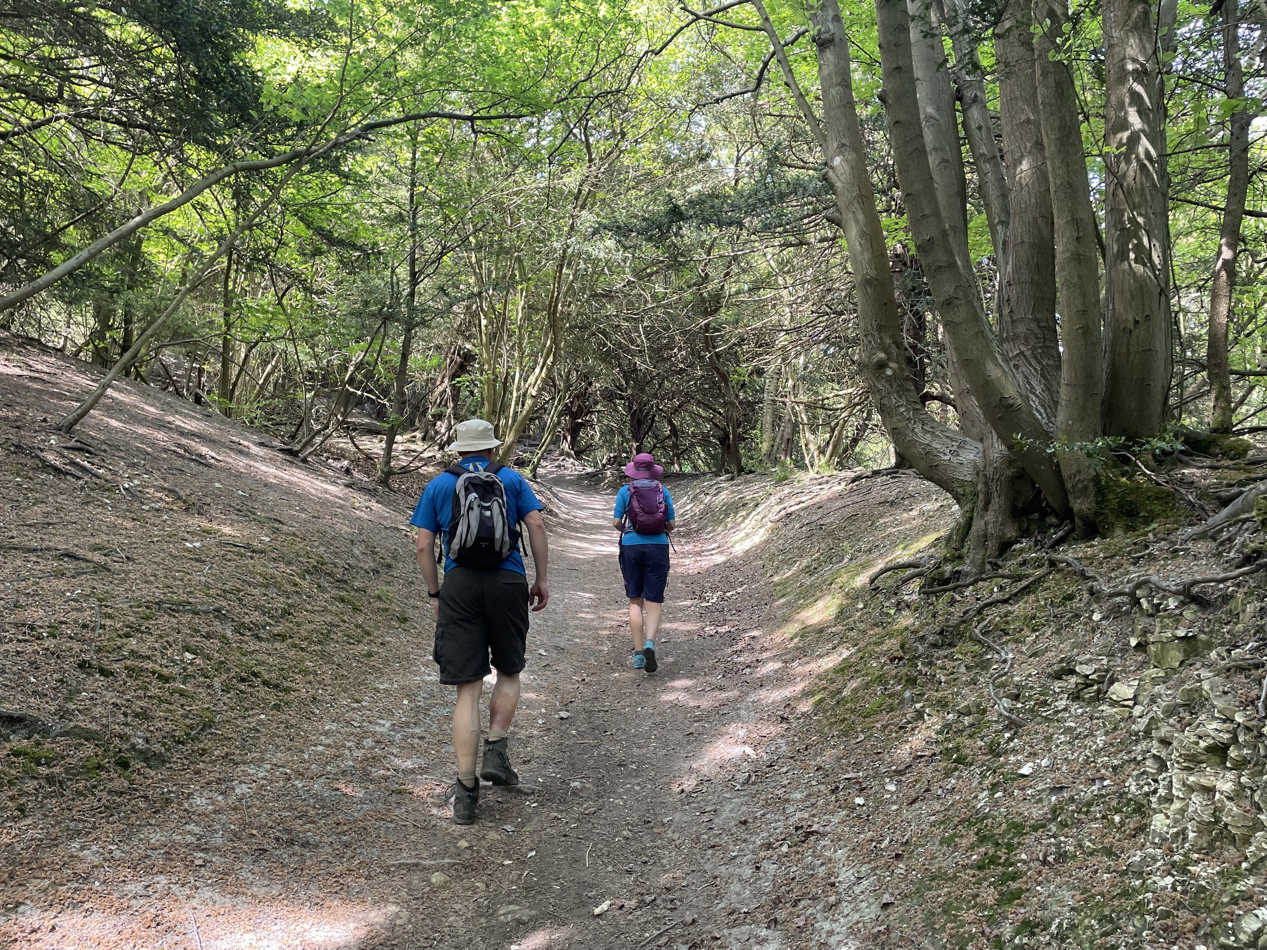
Geoff’s video on this section describes a walk along the route of the old line that connected Uxbridge to the Chiltern main line (formerly GWR) from 1907 to 1964. Having cycled through Alderglade Nature Reserve and Frays Farm Meadows before I remember it being a tricky ride and best tackled on foot. This time we opted for a more cycle-friendly route to the west of the old line. Timea (wife) and I went back to Uxbridge a week later to walk the true route of the old railway and you read about that in my next post.

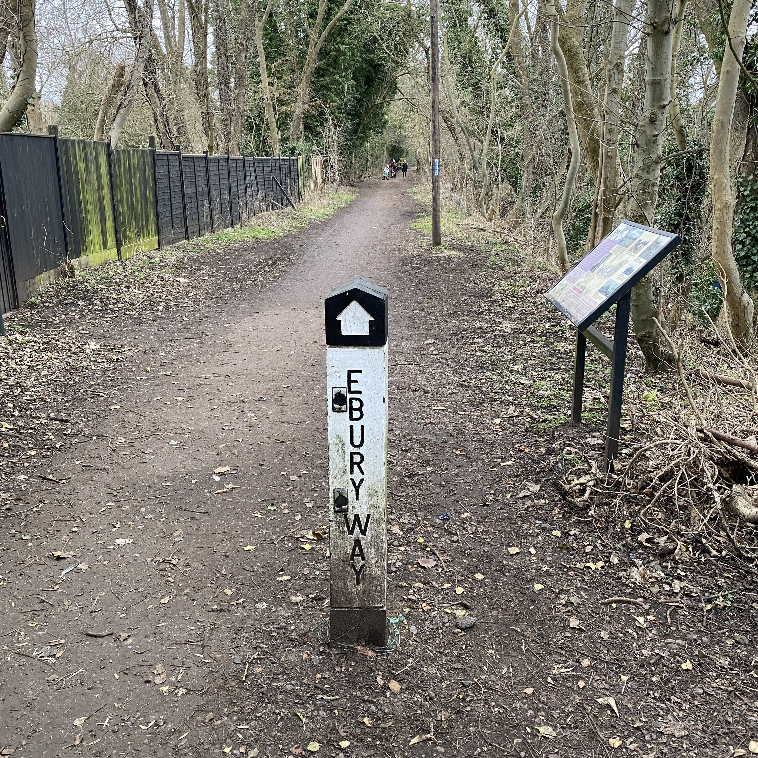
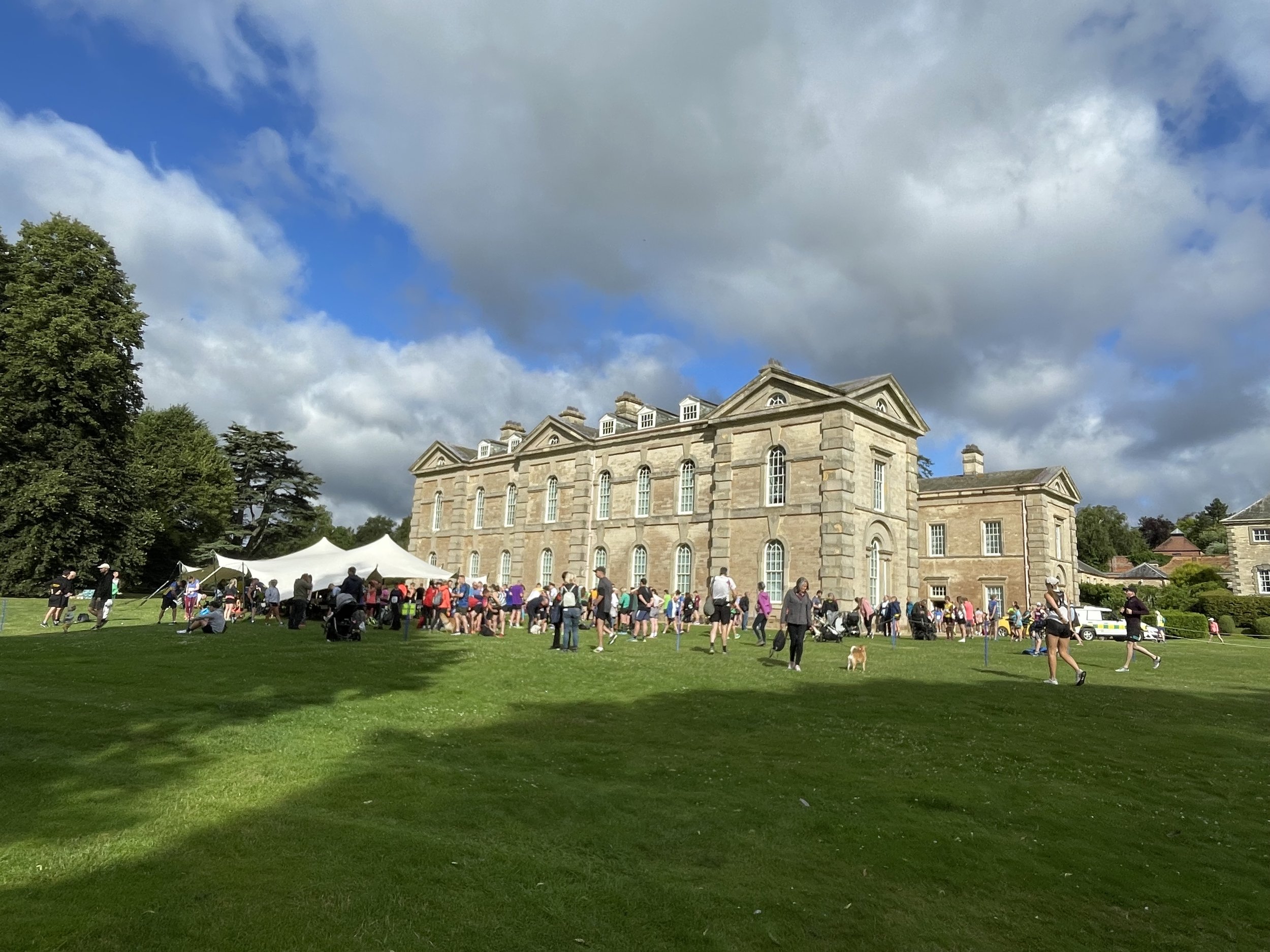
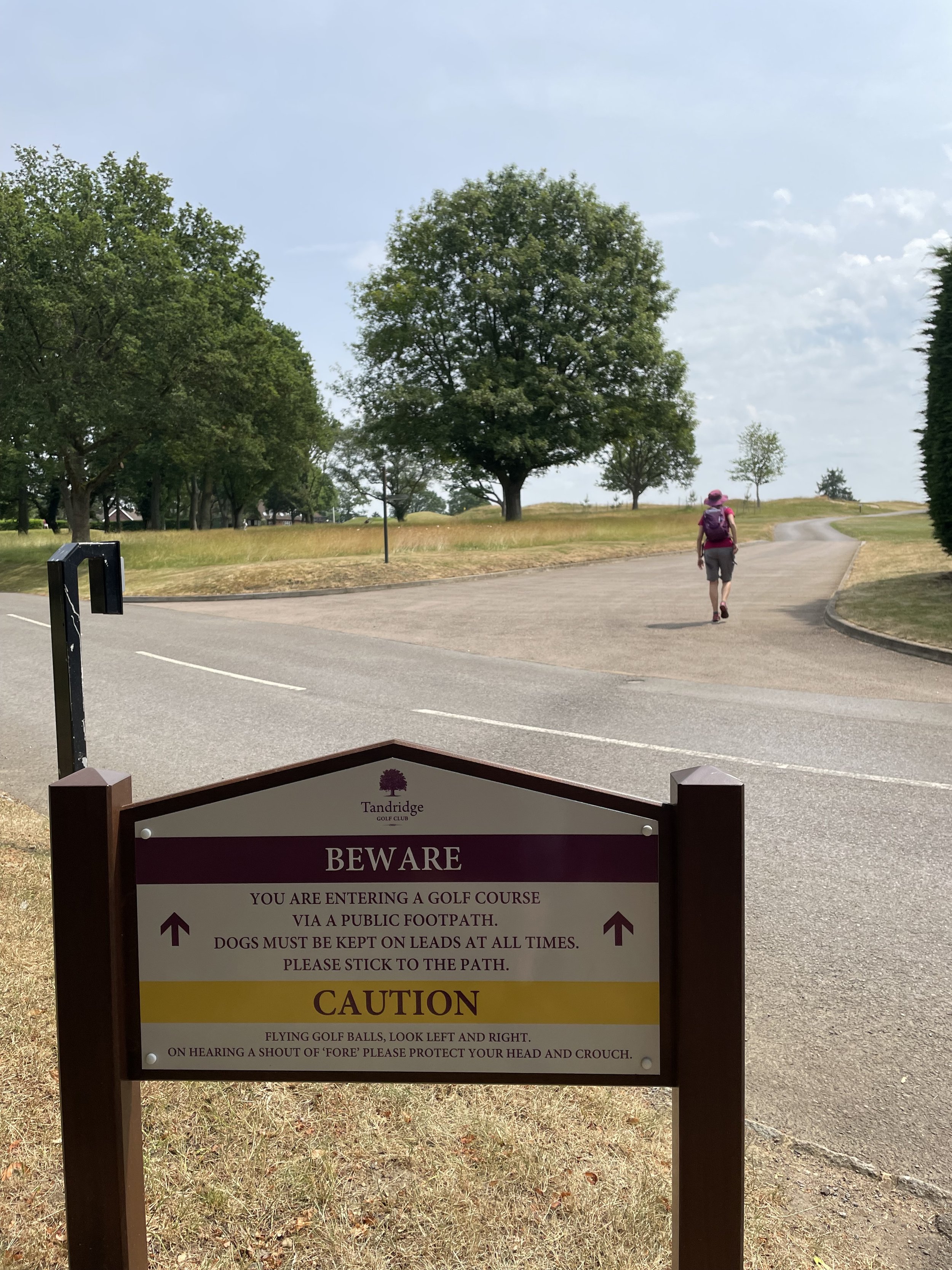
From 106 Oxford Road we followed the Grand Union Canal Towpath from the Swan and Bottle pub to the southern entrance of Denham Country Park south of Denham Deep Lock. From here follow the South Bucks Way through the Country Park, Buckinghamshire Golf Course, Denham Village and along The Pyghtle to Denham Station. This is the end point of the route along the 3 disused rail lines.


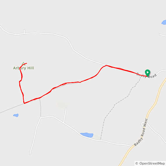
The full cycle route from Staines West to Denham

The full cycle route: all 3 lines from Staines (south) to Denham (north)

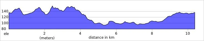
Elevation plan for the full cycle route between Staines West and Denham


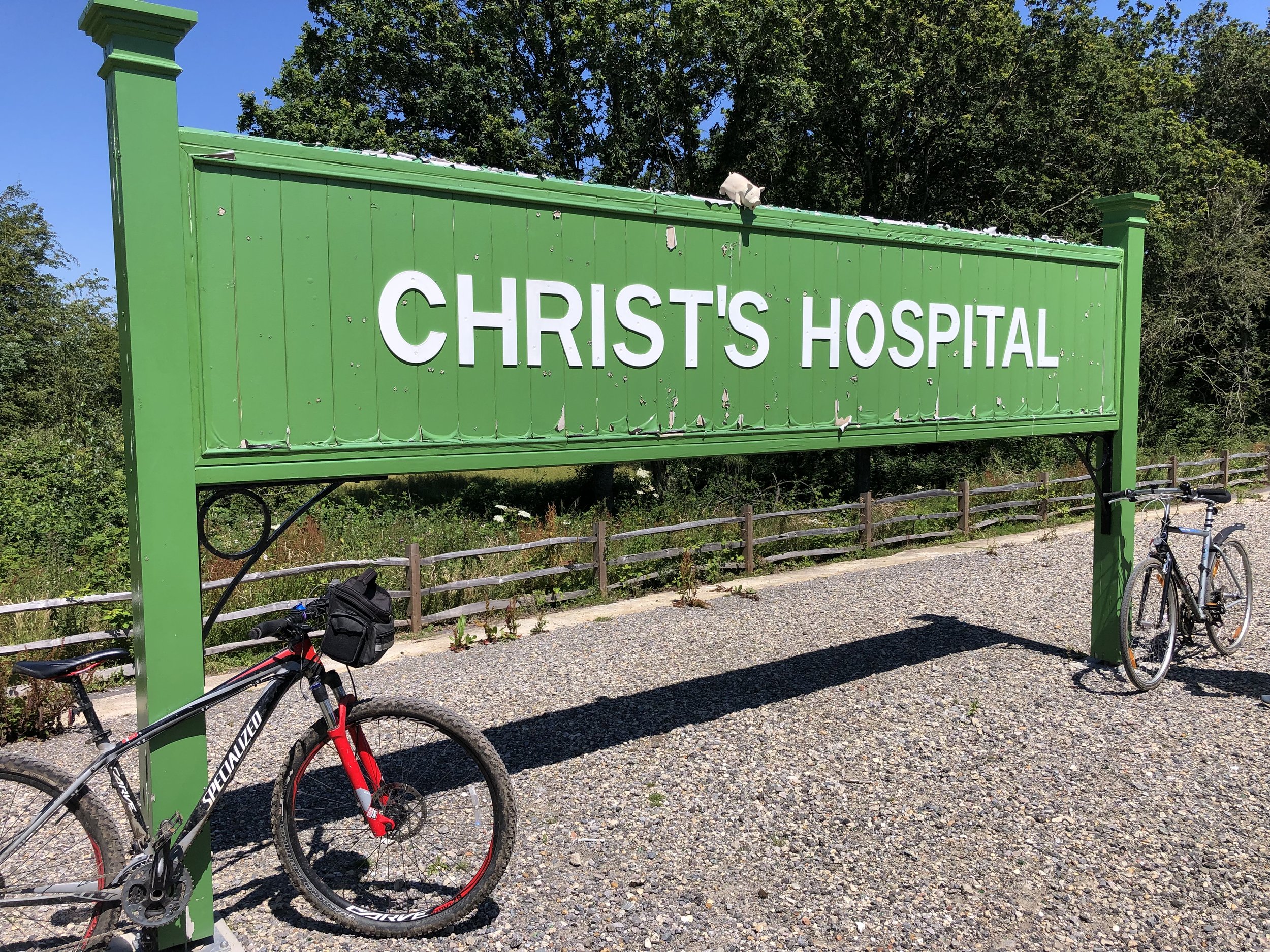
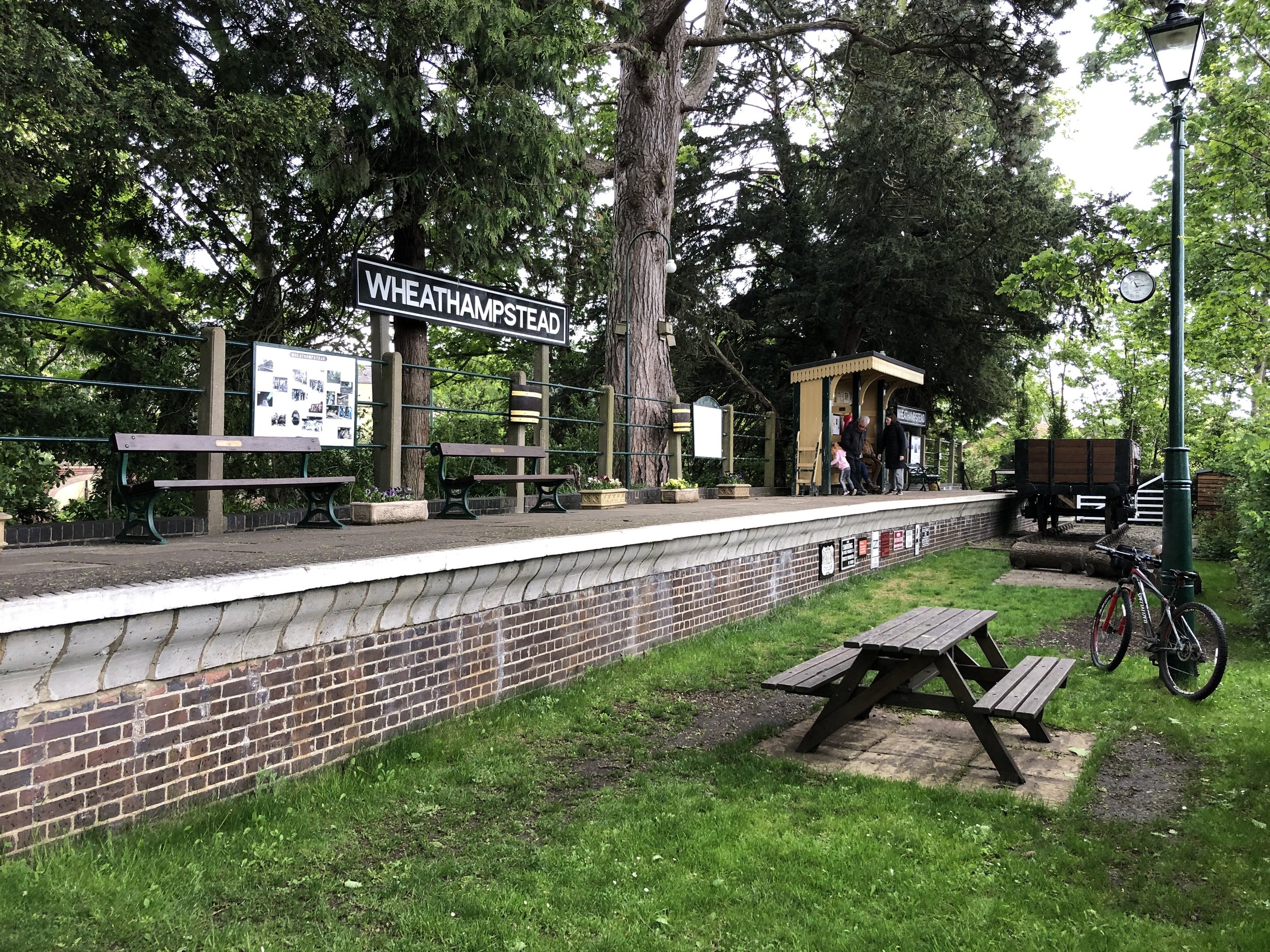
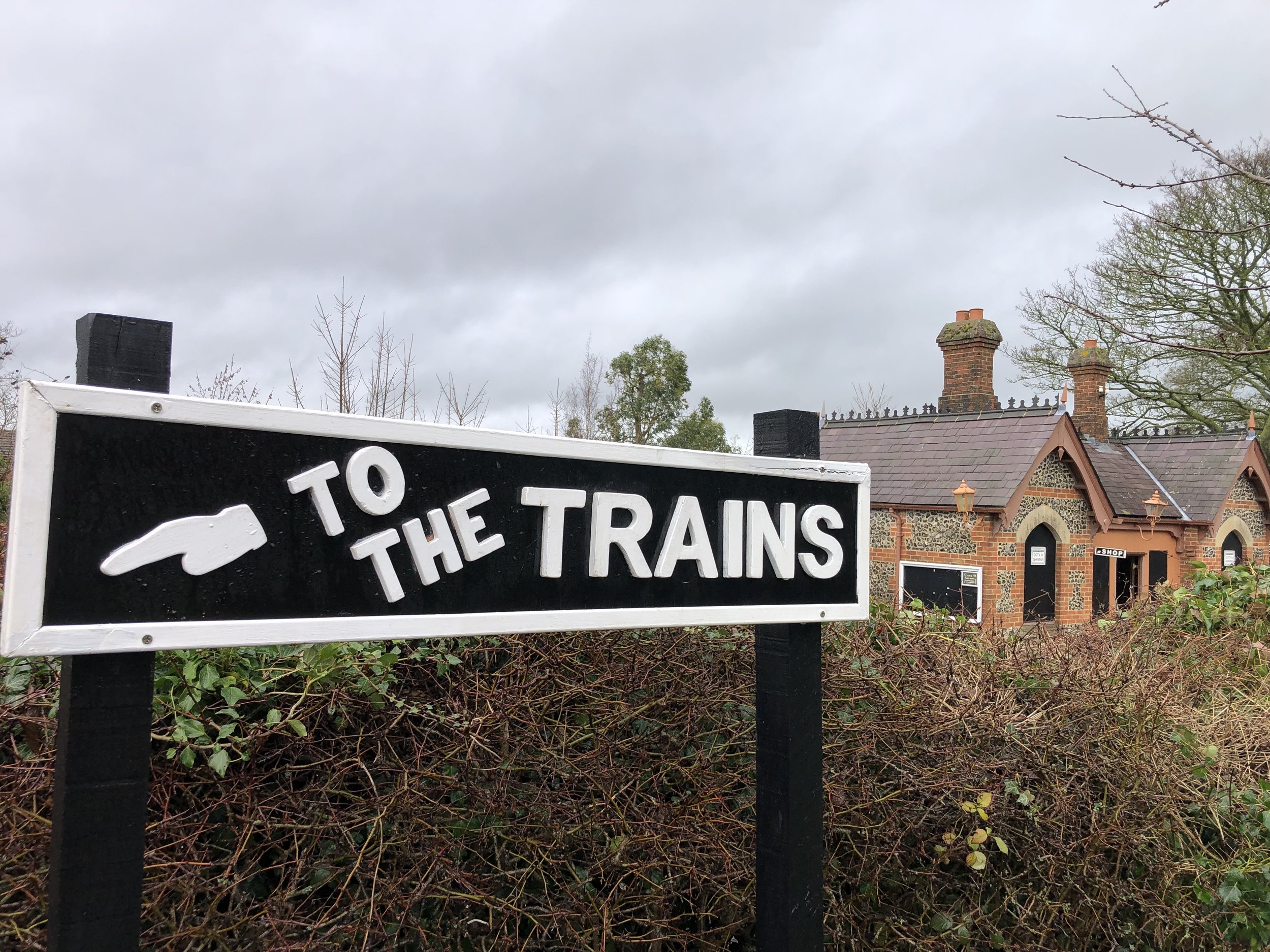
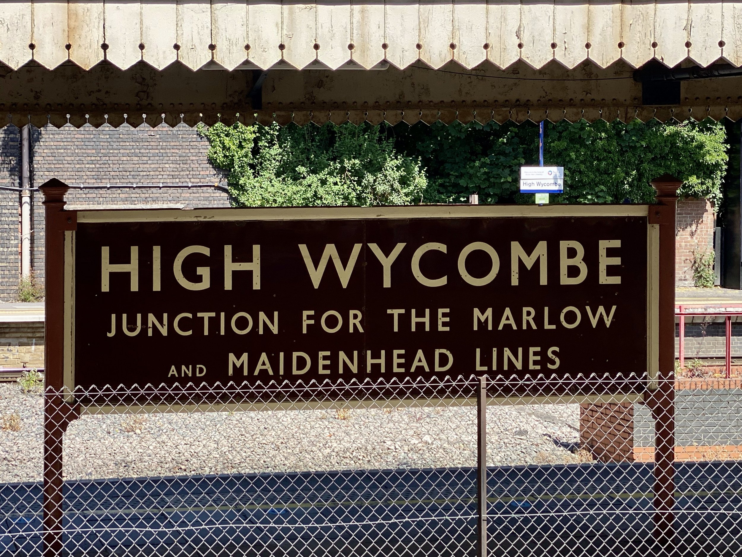
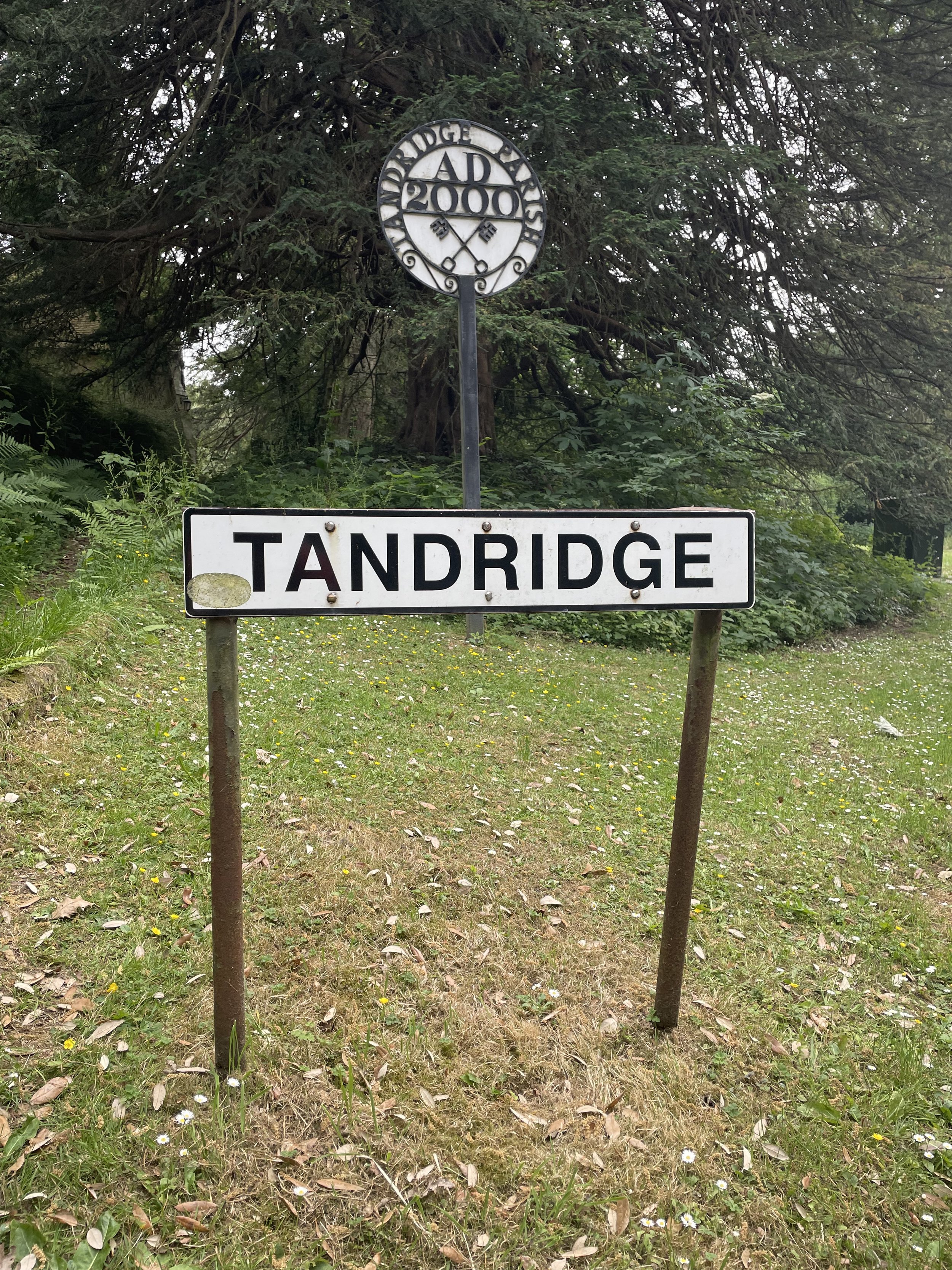
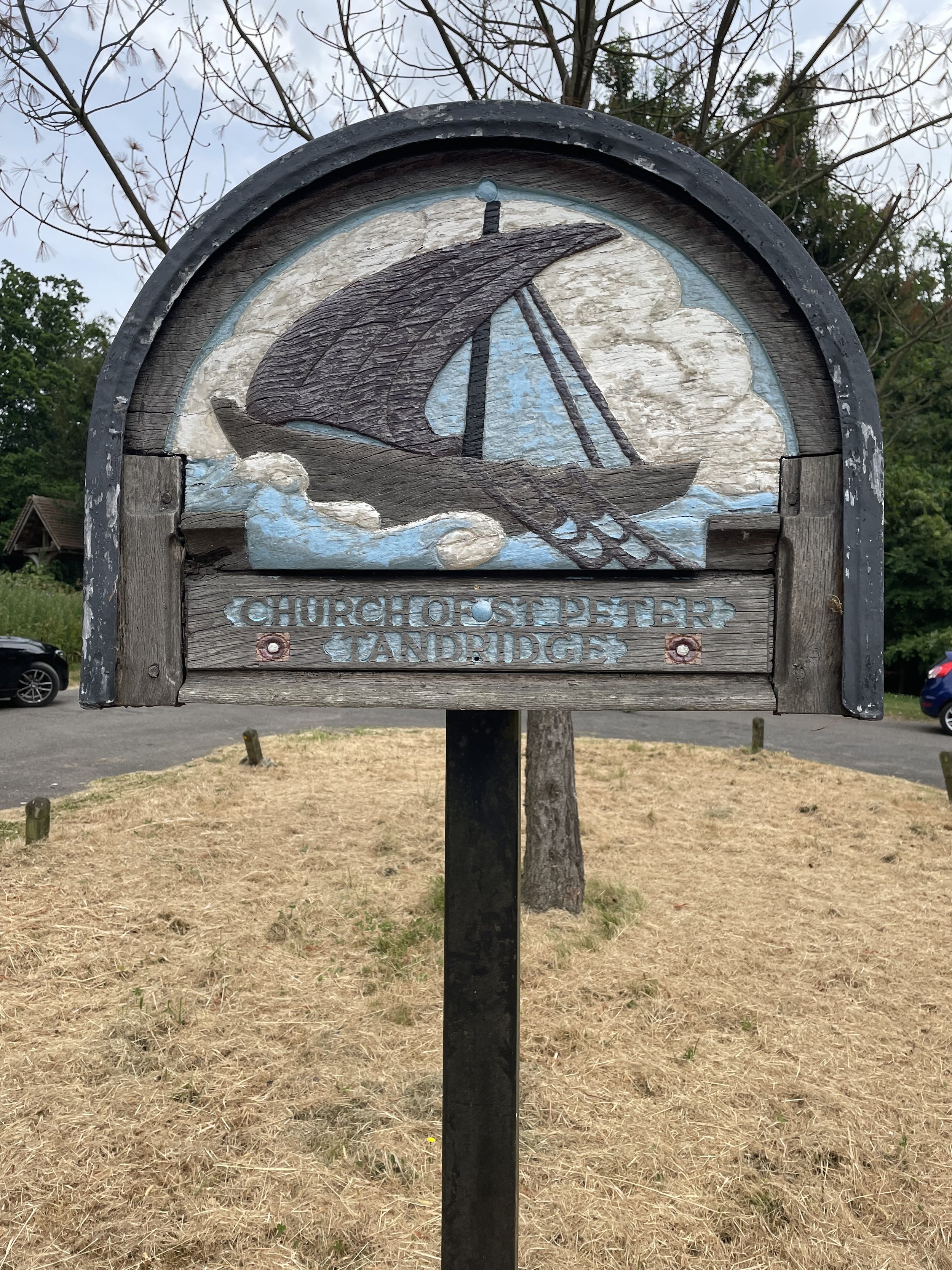
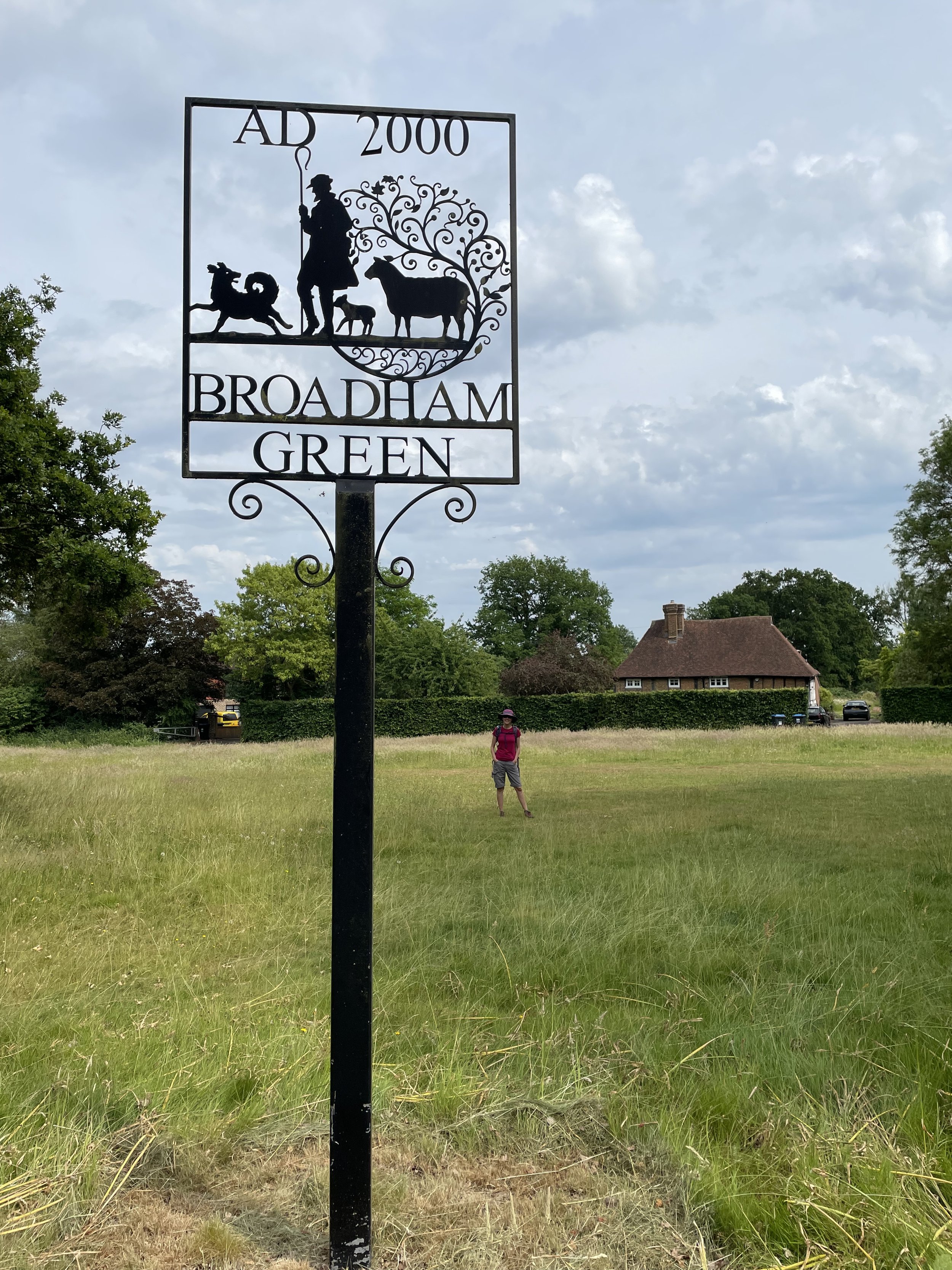
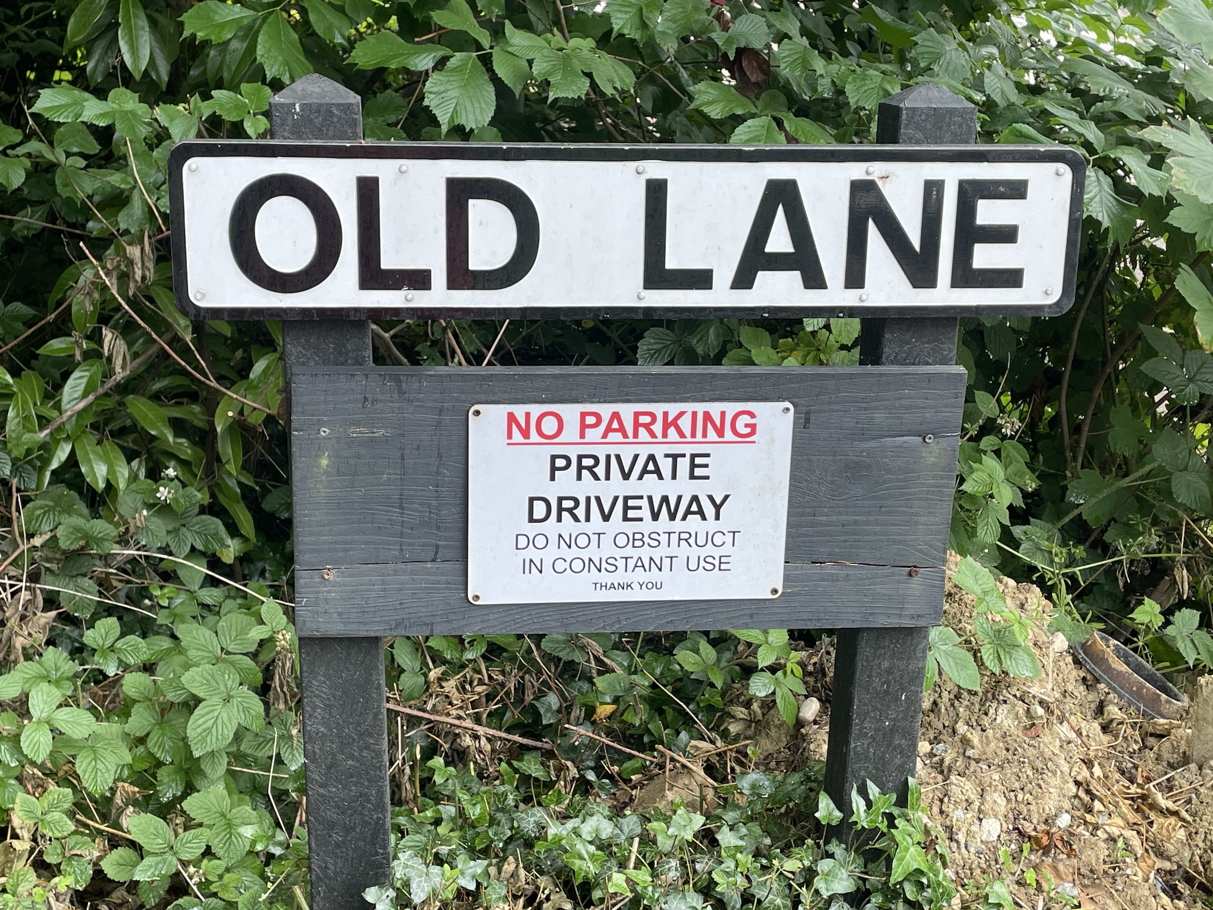
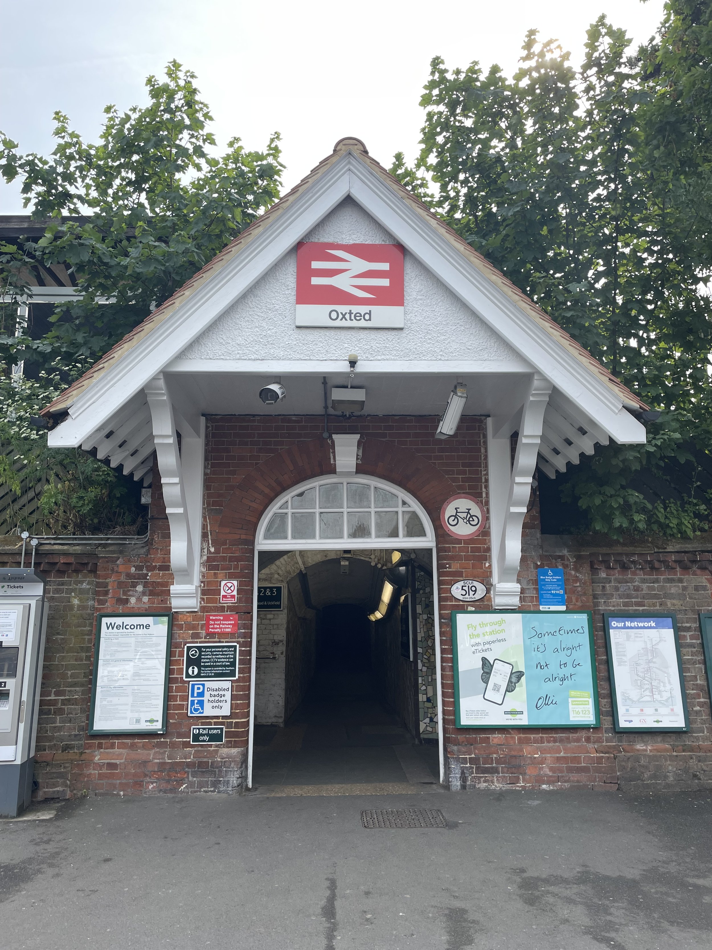
Stations on the Staines West to Denham Lines

Displayed in order of the cycle route from Staines West to Denham. Click on each photo to connect to the Wikipedia article for the station. Includes West Drayton and Denham which are still operating stations.


More Disused Railway Posts


Fort Southwick: Portsmouth High Point

Significance: Unitary Authority High Point for Portsmouth
Member of:
N/A
Parent Peak:
Butser Hill, NHN: Butser Hill
Historic County: Hampshire (of which Pilot Hill is the County Top)
Elevation:
122m
Date “climbed”:
July 22nd 2023
Coordinates:
50° 51' 29'' N, 1° 6' 43'' W
Map:
Meon Valley, Porstmouth, Gosport and Fareham (OS Explorer Map): Sheet 119
Links:
Wikipedia (Portsmouth), Peakbagger, Hillbagging, Fort Southwick

Fort Southwick is the high point of the Unitary Authority of Portsmouth, within the Historic and Ceremonial Counties of Hampshire. The high point is on private land on a track up to a small reservoir but it’s easily accessible over a gate from Portsdown Hill Road just to the west of the old fort.

Fort Southwick was built in the 1860s to defend the landward approaches to the naval base at Portsmouth. The fort is a large, triangular structure with a dry ditch and a number of caponiers (small, projecting defensive works). It also houses a water storage tank and a spiral staircase that leads to the underground tunnels.

Fort Southwick was disarmed in 1906 but was retained as a barracks. It was also used by the army to train soldiers how to capture and hold a fort. In the Second World War, the fort was used as a headquarters for the Admiralty and as a communications center.

Today, Fort Southwick is mainly used as an NHS park and ride for Portsmouth and a used car dealership. There’s an OS Trig Pillar inside (TP3238 - Fort Southwick) but inaccessible except with special permission. Trigpointing logs indicate that permission is very hard to get.


Bassett Avenue: Southampton High Point

Significance: Unitary Authority High Point for Southampton
Member of:
N/A
Parent Peak:
Butser Hill, NHN: Telegraph Hill
Historic County: Hampshire (of which Pilot Hill is the County Top)
Elevation:
82m
Date “climbed”:
July 22nd 2023
Coordinates:
50° 57' 0'' N, 1° 24' 16'' W
Map:
New Forest Map | Southampton, Ringwood, Ferndown, Lymington, Christchurch & Bournemouth | Ordnance Survey | OS Explorer Map OL22
Links:
Wikipedia (Southampton), Peakbagger, Hillbagging

Bassett Avenue is the high point of the Unitary Authority of Southampton, within the Historic and Ceremonial Counties of Hampshire. Most people will have passed right through the high point when approaching the city along the A33 Bassett Avenue having come off the M3. The high point is at the junction of Bassett Avenue and Bassett Health Avenue. Not much to see here so best done on the way to something more interesting


Rednal Hill North Top: Birmingham High Point

View to Birmingham on a cloudy day from Rednal Hill North Top

Significance: Metropolitan Borough High Point for Birmingham
Member of: N/A
Parent Peak: Walton Hill.
Nearest Higher Neighbour: Rednal Hill
Historic County: Worcestershire (of which Worcestershire Beacon is the County Top)
Elevation: 250m
Date climbed: July 16th 2023
Coordinates: 52° 23' 14'' N, 2° 0' 27'' W


Route Start / End: Car park at Lickey Hill Golf Course, Rose Hill, Rednal, Birmingham, B45 8RR
Route Distance: 3.4 km (2.1 miles)
Route Elevation Change: +/- 116m
Subsidiary tops on route: Beacon Hill
GPX File: get via Buy Me a Coffee
Other routes touched (walk): Drovers Way
OS Trig Pillar: TP4411 - Lickey Hill
Map: Birmingham Map | Walsall, Solihull & Redditch | Ordnance Survey | OS Explorer Map 220
Links: Wikipedia (Birmingham), Lickey Hills Country Park, Peakbagger, Hillbagging


Rednal Hill North Top is the high point of the Metropolitan Borough of Birmingham, within the Historic and Ceremonial Counties of Worcestershire. It’s within the Lickey Hills Country Park, once owned by the Cadbury family. Both the main summit of Rednal Hill and nearby Beacon Hill are higher although the boundary of present-day Worcestershire and the Birmingham Metropolitan Borough cuts off the north end of the Country Park, making the north end of the Rednall Hill Ridge the high point of Birningham.

There’s free parking at the entrance to the golf course off Rose Hill (road). I wasn’t sure if the car park is specifically for the golf course or open to anyone but there were no signs and plenty of spaces so I parked there. The circular route that I chose follows Rose Hill road in an easterly direction to the eastern end of the Country Park where you can take a steep footpath up the hill to the summit of Rednall Hill. There was a bunch of teenagers at the summit who aggressively shouted out “you awright, mate?” as I passed so I didn’t hand around. From the summit follow the ridge-top path for ~600m to the north-top summit and a view across to Birmingham City.

From the north-top summit retrace your steps for 200 metres and take a path to the right heading west across the golf course then up to the Trig Pillar. The Trig pillar isn’t the summit of Beacon Hill so continue for another 20m to the toposcope at the summit. From here follow paths to the south-east back to the car park.


Meigh's Wood: Solihull High Point

Significance: Metropolitan Borough High Point for Solihull
Member of:
N/A
Parent Peak:
Walton Hill
Nearest Higher Neighbour: Barr Beacon
Historic County: Warwickshire (of which Ebrington Hill is the County Top)
Elevation:
185m
Date “climbed”:
July 16th 2023
Coordinates:
52° 27' 32'' N, 1° 37' 9'' W
OS Trig Pillar: N/A, nearest is TP3975 - Hollyberry End
Map:
Coventry & Warwick Map | Weatherproof | Royal Leamington Spa & Kenilworth | Ordnance Survey | OS Explorer Active Map 221
Links:
Wikipedia (Solihull), Peakbagger, Hillbagging

Meigh’s Wood is the high point of the Metropolitan Borough of Solihull, within the Historic County of Warwickshire and in the Ceremonial County of West Midlands. It’s very close to Corley Moor, the high point of Coventry so it makes sense to bag them in the same trip

This one is a quick drive-by with parking in a layby off the B4102 Fillongley Road. This high point is deceptively named as it’s actually in Boultbee’s Wood which is on the opposite side of the A4102 from Meigh’s Wood. From the layby enter the woods and follow the fence on the northern boundary with the field. The high point is roughly half way along the boundary with the field. There’s nothing to mark the summit.


Corley Moor: Coventry High Point

Significance: Metropolitan Borough High Point for Coventry
Member of:
N/A
Parent Peak:
Walton Hill
Nearest Higher Neighbour: Meighs Wood
Historic County: Warwickshire (of which Ebrington Hill is the County Top)
Elevation:
167m
Date “climbed”:
July 16th 2023
Coordinates:
52° 27' 39'' N, 1° 35' 16'' W
OS Trig Pillar: N/A, nearest is TP2413 - Corley Resr
Map:
Coventry & Warwick Map | Weatherproof | Royal Leamington Spa & Kenilworth | Ordnance Survey | OS Explorer Active Map 221
Links:
Wikipedia (Coventry), Peakbagger, Hillbagging

Corley Moor is the high point of the Metropolitan Borough of Coventry, within the Historic County of Warwickshire and on the border of the Ceremonial Counties of Warwickshire and West Midlands. It’s very close to Meigh’s Wood, the high point of Solihull so it makes sense to bag them in the same trip

This one is a quick drive-by with parking at the Bull and Butcher pub in Corley Moor village. From the pub walk down Wall Hill Road in a south-easterly direction to the brow of the hill outside Sunnyside Farm. Nothing spectacular here.


Northamptonshire County Tops

Staverton Clump, 05:00 on a Sunday morning in July


I ticked off Arbury Hill, the high point of Historic Northamptonshire, back in 2013. This was my early days of peak-bagging and I was doing a few drive-bys and quick walks on the way to a work trip in Melton Mowbray. At the time I didn’t stray from public rights-of-way into private land so I got as close to Arbury Hill’s summit as possible on the footpath and considered it ticked.

Several years later my friends and I started our annual County Top long weekends to bag the furthest peaks from home. My “non-completion” of Arbury Hill became a constant source of debate during those weekends. For a while I insisted that I had definitely bagged Arbury due to my non-trespassing policy. I got as close as possible on public routes so I was done. Right?

They weren’t having it and 2 of them had made successful summits of Arbury without difficulties. One had got the land-owner’s permission and the other just went there. By our 2022 Scotland Trip I had decided that I needed to return to Arbury to resolve the dispute. My plan was to turn up, ask the land-owner for permission if I could find them and if not just do it, but be discreet and not disturb anything.

So, in the summer of 2023, as a part of a road trip of Midlands high points I returned to tackle Arbury Hill again. I parked at the same spot on the grass verge on Badby Road and up the closest footpath to the southern edge of Arbury Hill summit. No land-owner in sight and, being early evening on a Saturday, no-one at all.

At ~ 1 km from the start of the footpath on Badby Road there’s a gate across the path then a locked wooden gate on the right hand side that leads up the hill on the eastern edge of a crop field. 300m later, just before the woods, there’s another gate into a field and it’s a short walk from there to the summit. As it turned out it was a simple ascent with 2 easy to hop-over gates from the public footpath. I returned using the same route with a smug sense of being able to resolve a now 10-year debate with my friends.


Arbury Hill

Significance: Highest peak in Northamptonshire (Historic CT), Unitary Authority High Point for West Northamptonshire
Member of: Hump, Tump
Parent Peak: Cleeve Hill. NHN = Ebrington Hill
Elevation: 224.3m
Date climbed: July 15th 2013
Coordinates: 52°13′27″N 1°12′36″W 
Route Start / End: Grass verge by start of footpath on Badby Road, just off the A361
Route Distance: 3 km (1.9 miles)
Route Elevation Change: +/- 45m
Subsidiary tops on route: None
GPX File: get via Buy Me a Coffee
Other routes touched: None
Map: OS Explorer 206: Edge Hill and Fenny Compton
Guidebook: The UK's County Tops (Jonny Muir), Walking the County High Points of England (David Bathurst)
Links: Wikipedia (Northamptonshire), Wikipedia (West Northamptonshire), Wikipedia (Arbury Hill), Peakbagger, Hillbagging

Wikipedia says there’s a Triangulation Station (Trig Pillar) at the summit. This is not correct as the nearer Trig Pillar is on Big Hill - Staverton Clump.


Big Hill - Staverton Clump

Significance: Alternative Highest peak in Northamptonshire (Historic CT), Alternative Unitary Authority High Point for West Northamptonshire
Member of: Hump, Tump
Parent Peak: Cleeve Hill. NHN = Ebrington Hill
Elevation: 224.3m
Date climbed: July 16th 2013
Coordinates: 52° 14' 47'' N, 1° 11' 49'' W
Route Start / End: Staverton Park Hotel & Golf Club, Daventry Road, NN11 6JT
Route Distance: 2.4 km (1.5 miles)
Route Elevation Change: +/- 48m
Subsidiary tops on route: None
GPX File: get via Buy Me a Coffee
Other routes touched: None
OS Trig Pillar: TP6169 - Staverton
Map: OS Explorer 206: Edge Hill and Fenny Compton
Guidebook: N/A
Links: Wikipedia (Northamptonshire), Wikipedia (West Northamptonshire), Peakbagger, Hillbagging


Shortly before my first attempt at Arbury Hill in 2013 Big Hill - Staverton Clump was determined to be the twin County Top of Northamptonshire. It’s another one on private land so it didn’t make my to-do list until I made the decision to return to Arbury. Whereas Arbury’s summit is off the public right of way, the whole of this walk is on private land.

I had completed Arbury Hill early evening on a Saturday and checked in to the Staverton Park Hotel opposite the start of the walk up to Staverton Clump. For anyone not staying at the hotel, the best place to park is a layby further to the east along the A425. I set my alarm for 04:30 on the Sunday morning, left the hotel and hopped into the field opposite. The field was fully of grazing cattle so I kept out of sight to the edge of the field heading up to Staverton Clump at the top of the field. If you’re just going for the High Point, it’s only a 0.5km walk from the gate.

Rather than just bag the high point I continued for another ~0.5km to the east to bag the Staverton Trig Pillar. Strange that it’s not on the actual high point. After the Trig I retraced my steps along the edge of the field and into the woods to bag the high point. It’s a fairly flat summit with nothing obvious to mark the high point. Once bagged I followed the edge of the field back down to the road and into the hotel for breakfast.


Mill Hill

Significance: Unitary Authority High Point for North Northamptonshire
Member of: N/A
Parent Peak: Cleeve Hill. NHN = Big Hill - Staverton Clump
Elevation: 160m
Date climbed: July 15th 2013
Coordinates: 52° 24' 6'' N, 0° 51' 56'' W
Route Start / End: Space for 1 car by gate to bridleway on small road between Harrington and Harrington Air Base War Memorial (post code = NN14 1LN)
Route Distance: 1.1 km (0.7 miles)
Route Elevation Change: +/- 4m
Subsidiary tops on route: None
GPX File: get via Buy Me a Coffee
Other routes touched: None
Map: OS Explorer 206: Edge Hill and Fenny Compton
Guidebook: N/A
Links: Wikipedia (Northamptonshire), Wikipedia (North Northamptonshire), Peakbagger, Hillbagging

Mill Hill became a new county high point on April 1st 2021 with the creation of the North Northamptonshire Unitary Authority. It lacks the minor thrills of Arbury and Staverton as it’s a flat, undemanding walk on a public right of way. It’s also a very short walk of a 1.1 km round trip from the layby off the small road between Harrington and Harrington Air Base War Memorial. There’s no obvious high point so I wander around the corner of the track for a bit until I was satisfied that I had bagged it.


Bow Brickhill: Milton Keynes High Point

Trig Pillar at the summit of Bow Brickhill


Significance: Unitary Authority High Point for Milton Keynes
Member of: Tump
Parent Peak: Haddington Hill. NHN = Dunstable Downs
Historic County: Buckinghamshire (of which Haddington Hill is the County Top)
Elevation: 171m
Date climbed: July 15th 2013
Coordinates: 52° 0' 4'' N, 0° 40' 5'' W

Route Start / End: Parking on south side of Church Road, just east of All Saints Church, Bow Brickhill, MK17 9LQ
Route Distance: 400m (0.25 miles)
Route Elevation Change: +/- 6m
Subsidiary tops on route: None
GPX File: get via Buy Me a Coffee
Other routes touched: None
OS Trig Pillar: TP1543 - Bow Brickhill
Map: Buckingham & Milton Keynes Map | Weatherproof | Leighton Buzzard & Woburn | Ordnance Survey | OS Explorer Active Map 192
Guidebook: N/A
Links: Wikipedia (Milton Keynes), Peakbagger, Hillbagging


Bow Brickhill is the high point of the Unitary Authority of Milton Keynes, within the Ceremonial and Historic Counties of Buckinghamshire. It can be easily accessed via short out-and back walk from the Car Park on Church Road or as a short diversion from the Milton Keynes Boundary Walk. From the parking spot on Church Road, it’s a 400m easy walk through the woods to the Trig Pillar that marks the high point. As Hillbagging points out “LIDAR suggests the summit is 22m NW of the trig at SP 91511 34503” .. however bagging the Trig Pillar was good enough for me.


The Slipe: Bedford Borough High Point

Harrold Park Farm Trig Pillar, north of the high point along the Three Shires Way

Significance:  Unitary Authority High Point for Bedford Borough
Member of: N/A
Parent Peak: Cleeve Hill. NHN = Bow Brickhill
Historic County: Bedfordshire (of which Dunstable Downs is the County Top)
Elevation: 107m
Date climbed: July 15th 2013
Coordinates: 52° 12' 4'' N, 0° 39' 59'' W

Route Start / End: Free on-street parking in or near Church Lane, Bozeat, NN29 7NJ
Route Distance: 6.5 km (4.0 miles)
Route Elevation Change: +/- 39m
Subsidiary tops on route: None
GPX File: get via Buy Me a Coffee
Other routes touched (walk): Three Shires Way
OS Trig Pillar: TP3642 - Harrold Park Farm
Map: Newport Pagnell & Northampton South Map | Towcester & Olney | Ordnance Survey | OS Explorer Map 207
Guidebook: N/A
Links: Wikipedia (Bedford Borough), Peakbagger, Hillbagging


The Slipe is the high point of the Unitary Authority of Bedford Borough, within the Ceremonial and Historic Counties of Bedfordshire.

After a few quick drive-by high-points I was happy to get out of the car for a short walk to the Bedford Borough top. Bozeat is a quiet village with a lot of free on-street parking near the start and end of this route. From Fir Tree Grove follow the footpath for a little over 2km until you reach the junction with the Three Shires Way. The Three Shires Path also runs along the North Northamptonshire / Bedfordshire border at this point. The county tri-point with Milton Keynes is to the south in The Oaks Wood.

The patch of woodland to the east of the Three Shires Way is called the Slipe and the high point is just inside the woods at the northern end. You’ll need to cross over a ditch to get into the woods and there’s nothing to mark the high-point. From the high point you could return to Bozeat the way you came or, as I did, make it a more interesting circular walk to visit the Harrold Park Farm Trig Pillar a further 2.4km along the Three Shires Way. From the Trig Pillar return to Bozeat by taking the westerly heading footpath through the field.


Nether Hall: Leicester City High Point

Significance: Highest point of the Unitary Authority of Leicester City
Member of:
N/A
Parent Peak:
Cleve Hill, NHN = Beacon Hill Leicestershire
Historic County: Leicestershire (of which Bardon Hill is the County Top)
Elevation:
110m
Date “climbed”:
July 15th 2023
Coordinates:
52° 39' 8'' N, 1° 2' 54'' W
Map:
Leicester & Hinckley Map | The National Forest | Ordnance Survey | OS Explorer Map 233
Links:
Wikipedia (Leicester City), Peakbagger, Hillbagging

Nether Hall is the high point of the Unitary Authority of Leicester City, within the Ceremonial and Historic Counties of Leicestershire. From the map, while planning the trip, I was expecting a fairly urban area but it turned out to be a pleasant suburb.

This is a quick drive-by with free on-street parking at the eastern end of Keyham Lane West near the junction with Hamilton Lane. The high point is on the eastern side of Hamilton Lane at the entrance to a footpath to the golf course.


Racecourse Road: Peterborough High Point

Significance: Highest point in the Soke of Peterborough Administrative County, the defunct county of Huntingdon and Peterborough and the present-day Unitary Authority of Peterborough
Member of:
N/A
Parent Peak:
Cleve Hill, NHN = Cold Overton Park
Historic County: Northamptonshire (of which Arbury Hill is the County Top)
Elevation:
81m
Date “climbed”:
July 15th 2023
Coordinates:
52° 37' 31'' N, 0° 28' 19'' W
Map:
Rutland Water Map | Stamford & Oakham | Ordnance Survey | OS Explorer Map 234
Links:
Wikipedia (Soke of Peterborough, Huntingdon and Peterborough, Peterborough Unitary Authority), Peakbagger, Hillbagging

The Soke of Peterborough is an Administrative County that came into existence as a result of The Local Government Act 1888. It was formerly part of the Historic County of Northamptonshire and, for a brief period between 1965 and 1974, the high point of the county of Huntingdon and Peterborough. It is now a part of the Ceremonial County of Cambridgeshire, although only just inside the border with the Northamptonshire, and is the high point of Peterborough Unitary Authority.

You won’t need crampons or extra oxygen to conquer this one. It’s a simple drive by, exiting the A1 near Burghley Park and finding a parking space on the curve of Racecourse Road.


Haddenham Village: Isle of Ely High Point

Significance: Highest point of the Administrative County of the Isle of Ely
Member of:
Tump
Parent Peak:
Cleve Hill, NHN = Great Chishill
Historic County: Essex (of which Chrishall Common is the County Top)
Elevation:
39m
Date “climbed”:
July 15th 2023
Coordinates:
52° 21' 20'' N, 0° 9' 11'' E
Map:
Ely & Newmarket Map | Mildenhall & Soham | Ordnance Survey | OS Explorer Map 226
Links:
Wikpedia (Isle of Ely), Haddenham, Peakbagger, Hillbagging

The Isle of Ely is an Administrative County that came into existence as a result of The Local Government Act 1888. It was formerly part of the Historic County of Cambridgeshire and is now a part of the Ceremonial County of Cambridgeshire.

This is a quick drive-by where you can park on The Rampart (road) and find the high point on top of the mound at the edge of the recreation field. As noted in Hillbagger: “ground mid way between the mound and the water tower is higher than the base of the mound but inaccessible. North Hill at TL 44498 76183 is also higher than the mound base but lower than the inaccessible ground


Walking The Greensand Way Part 20 - Oxted and Limpsfield

At the half-way point of the Greensand way on the Surrey/Kent border


Start & Finish: Oxted Station, Oxted, RH8 9EU
Distance: 11.2 km (7 miles)
Elevation change: +/- 142m
Greensand Way section covered: Rockfield Road to Kent Border: 4.5 km
GPX File: get via Buy Me a Coffee
Other routes touched (walk): Vanguard Way, Tandridge Border Path, Greenwich Meridian Trail, Greensand Way Oxted Spur
Other routes touched (cycle): Prime Meridian Cycle Route
Pubs / Cafes on route: The Carpenters Arms, Limpsfield Chart (4.5 km in), several in Oxted Town Centre at end.
Map: Dorking, Box Hill & Reigate Map | Leatherhead & Caterham | Ordnance Survey | OS Explorer Map 146
Links: Oxted, Limpsfield, Limpsfield Common National Trust


This is the twentieth of a series of short circular walks featuring the Greensand Way. The full trail is a long distance path stretching from Haslemere in Surrey to Ham Street in Kent. Our walks take in short sections of the Greensand Way and loop back to the start on other paths. The Greensand Way is well sign posted however you’ll need a map or GPX route to keep on track for the return sections of the loops. The guidance below will help but don’t use it as a fully accurate turn-by-turn guide.

For this section we parked in the multistory car-park that serves both Oxted Railway Station and Morrisons supermarket. From the carpark, walk down to East Hill, take a left to go under the railway bridge then a right onto Old Lane. Walk up Old Lane to Rockfield Road to rejoin the Greensand Way at the junction with Icehouse Wood (road). Take a left onto the Greensand Way and follow it for 4.5 km.

This is a pleasant section of the Greensand Way, albeit without the long views to the south of previous sections. It takes you through Limpsfield Common, Limpsfield Chart Golf Club, Limpsfield Chart Village and into the High Chart woods. The easternmost point of this walk meets the Surrey/Kent border and a stone to mark the half way point on the Greensand Way.

From the border, leave the Greensand Way and follow the Tandridge Border Path in a north-westerly direction. When you reach Moorhouse Road leave the Tandridge Border path and continue through the woods on the opposite side of the road to Westerham Road. Take a left onto Westerham Road, then carefully cross over to into the grounds of the Royal British Legion club. At the back of the club you’ll find a footpath in the woods that you can follow in a westerly direction to Limpsfield then paths and quiet roads back to Oxted.


Walking The Greensand Way Part 19 - Tandridge and Oxted

Tandridge Golf Course


Start & Finish: Oxted Station, Oxted, RH8 9EU
Distance: 10.6 km (6.6 miles)
Elevation change: +/- 165m
Greensand Way section covered: Leigh Mill Fly Fishing Lane to Rockfield Road: 4.6 km
GPX File: get via Buy Me a Coffee
Other routes touched (walk): Over The Downs to Oxted Mill Walk, Greenwich Meridian Trail, Greensand Way Oxted Spur
Other routes touched (cycle): Prime Meridian Cycle Route
Pubs / Cafes on route: Several in Oxted and Old Oxted, plus The Barley Mow Tandridge (5.3km in) and The Haycutter (7.4 km in)
Map: Dorking, Box Hill & Reigate Map | Leatherhead & Caterham | Ordnance Survey | OS Explorer Map 146
Links: Oxted, Tandridge


This is the nineteenth of a series of short circular walks featuring the Greensand Way. The full trail is a long distance path stretching from Haslemere in Surrey to Ham Street in Kent. Our walks take in short sections of the Greensand Way and loop back to the start on other paths. The Greensand Way is well sign posted however you’ll need a map or GPX route to keep on track for the return sections of the loops. The guidance below will help but don’t use it as a fully accurate turn-by-turn guide.

For this section we parked in the multistory car-park that serves both Oxted Railway Station and Morrisons supermarket. This is at the end of this section of the Greensand Way, so the first half of this route is a westerly return to where section 18 left the trail at the A22. From Oxted Station follow Station Road West then Church Lane in a south-westerly direction to the A25. Cross over the A25 and follow Old Oxted High Street then Godstone Road until the pavement rejoins the A25. Continue along the A25 to Tandridge Golf Club and take a left to follow the footpath through the gold course. Watch out for golf balls!

At the far end of the golf course take a left onto Tandridge Road then a right onto Jackass Lane. After ~300m take a left onto a footpath that will lead you through fields, then woods to the A22. Here you’ll cross back over the same section of A22 from section 18 before recrossing it slightly further south back on the Greensand Way. It’s a tricky, dangerous road crossing but realistically hard to avoid on this section. The alternative is to stay on Tandridge Road after the golf course and follow it to Tandridge although this misses 1 km of the Greensand Way. It depends on how much of a completer-finisher you are.

Once back on the Greensand Way after the A22 continue through to Tandridge where the Barley Mow pub is a good place to stop for a rest at this roughly half way point of the walk. Continue on the Greensand Way as it passes round the back of the pub and follow it to Rockfield Road south of Oxtend Town Centre. At this point you’ll take a left onto Rockfield Road (leaving the Greensand Way) then a left onto Old Lane walking parallel to the railway line to East Hill Road. Cross over East Hill Road and take the footpath through Johnsdale to Station Road East and back to Oxted Station.


Train out, walk back: The Chinnor and Princes Risborough Railway

Start: Princes Risborough Station, Station Approach, Princes Risborough, HP27 9DN
Finish
: Chinnor Railway Station, Station Road, Chinnor, OX38 4ER
Distance: 6.3 km (3.9 miles)
Elevation change: +73m / -46m. Net = +27m
GPX File: get via Buy Me a Coffee
Other routes touched (walk): Risborough Blue Route, The Chiltern Way, Midshires Way, The Ridgeway, Wildlife Walk
Other routes touched (cycle): NCN 57
Pubs / Cafes on route: Lions of Bledlow (3.4 km in)
Map: Chiltern Hills North Map | Aylesbury, Berkhamsted & Chesham | Ordnance Survey | OS Explorer Map 181
Links: Chinnor and Princes Risborough Historic Railway, Watlington and Princes Risborough Railway, Chinnor, Princes Risborough, Bledlow


The Chinnor and Princes Risborough Historic Railway runs on a section of the old Princes Risborough to Watlington line. I’ve passed by it many times on walks and cycle rides in the area but never taken a trip on the restored section. We decided to take a ride on it to celebrate our friend gaining her British Citizenship as a part of an English-themed summer day out. The guidance below will help you navigate but don’t use it as a fully accurate turn-by-turn guide. Always take a map and/or a GPX route and prepare well for the weather and terrain.

The historic railway visitor centre at Chinnor station is the best place to start. The station is lovingly preserved and staffed by volunteers who obviously love what they do. There’s a choice of a steam or diesel powered trip to Princes Risborough. We planned a trip on the steam powered train but it was a hot day after a few dry weeks and they decided not to use the steam engine due to a fire risk.

I loved the trip more than I expected. The old carriages reminded me of when I used to take the train from Maidenhead to London with my Dad when I was growing up in the ‘80s. It was a short distance but took around 30 minutes due to having to stop for the gates to be opened at the various road crossings and a section of track shared with mainline trains. It was great to go at a slower pace to enjoy the experience and see the Chiltern Hills roll by on the right hand side of the train.

The entry ticket includes a return trip to Chinnor but we decided to walk back instead, having a picnic on the way.

The route back

When exiting Princes Risborough Station look out for the footpath opposite the station building before the entrance to the car park. Follow this path south to Picts Lane then take a right to cross the bridge over the railway. Continue along Bledlow Road for 400 metres then take a footpath on the left, following the Risborough Blue Route trail. Take the first path on the right to pick up the Chiltern Way and follow this all the way to the village of Bledlow.

Keep following Church End Road through Bledlow to the Lions of Bledlow Pub, now leaving the Chiltern Way. The Lions is a great old pub to stop for a rest at this half-way point. After the pub take a footpath diagonally across a field in a south-westerly direction. Keep heading in the direction on the track that follows the Midshires Way up the hill to Bledlow Ridge. Here you’ll join the Ridgeway which you’ll follow until it meets Hill Road. Take a right onto Hill Road to follow it in a north-westerly direction back to Chinnor station. There’s no pavement on the first half of this section of Hill Road and a safer route is to follow the edge of The Rec (playing field) to exit onto Hill Road where the pavement starts.

See my post on Cycling The Phoenix Trail and Watlington and Princes Risborough Railway for more on the disused line and the stations along the way.


Walking The Greensand Way Part 18 - Bletchingley and Godstone

View to the North Downs ridge near Godstone


Start & Finish: High Street, Bletchingley, Redhill, RH1 4PA
Distance: 10.4 km (6.5 miles)
Elevation change: +/- 143m
Greensand Way section covered: St Catherine’s Open Space to Leigh Mill Fly Fishing Lane: 5.5 km
GPX File: get via Buy Me a Coffee
Other routes touched (walk): None
Other routes touched (cycle): Surrey Cycleway
Pubs / Cafes on route: The Bletchingley Arms (at end)
Map: Dorking, Box Hill & Reigate Map | Leatherhead & Caterham | Ordnance Survey | OS Explorer Map 146
Links: Bletchlingley, Godstone


This is the eighteenth of a series of short circular walks featuring the Greensand Way. The full trail is a long distance path stretching from Haslemere in Surrey to Ham Street in Kent. Our walks take in short sections of the Greensand Way and loop back to the start on other paths. The Greensand Way is well sign posted however you’ll need a map or GPX route to keep on track for the return sections of the loops. The guidance below will help but don’t use it as a fully accurate turn-by-turn guide.

For this section we returned to Bletchingley High Street to park in the same place as in section 17. From here we retraced our steps back to St Catherine’s Open Space to rejoin the Greensand Way. This 5 km section of the trail stays high on the ridge on the edge of woodland then descends to lower ground, crossing a field to Eastbourne Road. You’ll leave the Greensand Way on the section by taking a left hand footpath just before the A22 Godstone bypass. Follow this path north until it reaches the A22 and cross over VERY CAREFULLY. The A22 is a very busy road so you’ll need to wait for a good gap between cars in both directions. If you don’t want to cross this road there an alternative path 200m to the east at Leigh Place that avoids this crossing.

If you have crossed the A22 you’ll soon be crossing it again on the return section, however this is through a safe underpass to the north. Once back on the western side of the A22, follow Leigh Place Lane to Church Lane then continue west through paths and small roads to Pinewood Autos on the south side of Ivy Lane. Take the footpath to the left of Pinewood autos, following it south for 400m to a path junction. Take a right to follow paths along the edge of farmland to Rabies Heath Road. Follow Rabies Heath Road in a westerly direction to Godstone Road where you can take a left onto it back to Bletchley High Street.


Race The Sun 50k Ultra Marathon

View North to the Chilterns from the top of the descent to Checkpoint 4 at Wooburn Town


When: June 3rd 2023
Start and Finish
: North Maidenhead Cricket Club, SL6 8SP
Distance: 51 km (32 miles)
Elevation change: +/- 207m
GPX File: get via Buy Me a Coffee
Other routes touched (walk): The Green Way, Maidenhead Boundary Walk, Thames Path, Jubilee River Path, Beeches Way, Shakespeare’s Way, Chiltern Way Berkshire Loop, Wycombe to Bourne End Disused Railway
Other routes touched (cycle): NCN 4, 50, 61, Round Berkshire Cycle Route, Beeches Cycleway
Maps:
- Chiltern Hills East Map | High Wycombe, Maidenshead & Rickmansworth | Ordnance Survey | OS Explorer Map 172
- Windsor, Weybridge & Bracknell Map | Thames Path | Ordnance Survey | OS Explorer Map 160
Finish time
: 7 hours 52 minutes 28 seconds
Links: Maidenhead, Cookham, River Thames, Bray, Jubilee River, Taplow, Burnham, Burnham Beeches, Wooburn, Bourne End


This was my 12th Ultra and the second of a 2-part series of local ~50 km Ultras with 3 weeks between them. My legs were back to normal after the recent Goring Gap Run and I was hoping to crack my sub-7 hour target for a 50 km. With a relatively flat course and dry conditions it should have been fine. However, my running nemesis: the sun was also out and it was a very hot one.

Signing up for this race was a no-brainer as it started and ended in Maidenhead where I grew up and took in trails that I’m very familiar with. The original route also went within 100 metres of my house. The final published course took a different route on the second half but still on home ground. My friend Mark wanted to join too as he grew up within half a mile of the start but other friends’ wedding plans took him away for the weekend.

The concept for this race was to start at midday on a Saturday and to finish before sunset at 21:24. This also meant that I could fit-in a parkun in the morning and get to the start line with time to spare to get showered and changed. Timea though this was a crazy idea but I did my best to explain that it was “perfectly normal”. I had done much longer Ultras in the past so the best way to think about it was that it was a 55 km Ultra with a long break between the first 5 km and the rest of it .

The first third of the race was pretty straightforward with a pleasant cross-country run to Cookham and a section of the Thames Path to Windsor. I kept a steady running pace and the heat wasn’t too bad. At 19 km, between the Thames and the Jubilee River, there was a flooded stream crossing the path with no means to keep dry. The only way through it was to get our feet wet. With very dry conditions for the few weeks before I didn’t think of bringing spare socks so I knew this would be trouble. My shoes and feet dried quickly but I knew that there would be trouble ahead.

From 20 km the heat kicked in and my running was over for the day, replaced by a power-march. Somewhere around 40 km I could feel the impact of getting my feet wet earlier with blisters forming on both feet. I knew that my sub-7 hour target wasn’t going to happen so it was now about finishing. It was a tough final 10 km but the finish line eventually came and I completed in 7 hours 52 minutes. I can never be disappointed with a finish time. Just completing is always enough and I was well within the sunset cut-off time.


Walking The North Downs Way Part 5 - Betchworth to Merstham

Reigate Hill Viewpoint at National Trust Gatton Park


Start: Betchworth Station, Betchworth RH3 7BZ
Finish
: Merstham Station, Station Rd, Merstham, Redhill, RH1 3ED
Distance: 11.1 km (6.9 miles)
Elevation change: +206m / -197m. Net -9m
GPX File: get via Buy Me a Coffee
Other routes touched (walk): N/A
Other routes touched (cycle): N/A
London Coal Duty Posts: 151, 152
Pubs / Cafes on route: Junction 8 Café in the car park for National Trust Gatton Hill (7.4 km in). The Feathers is at the end of the route before you get to Merstham Station
Map: Dorking, Box Hill & Reigate Map | Leatherhead & Caterham | Ordnance Survey | OS Explorer Map 146
Guidebook: The North Downs Way National Trail from Farnham to Dover (Cicerone)
Links: Betchworth, Colley Hill, National Trust Reigate Hill and Gatton Park, B17 Crash Memorial, Reigate Fort, Gatton Park, Millennium Stones at Gatton Park, The Royal Alexandra and Albert School, Merstham


This is the fifth of a series of short point-to-point walks along the North Downs Way. The full trail is a long distance path stretching from Farnham in Surrey to Dover in Kent. Our walks took in short sections of 10 km to 13 km which we did with a friend over the course of a couple of years when our schedules coincided. The North Downs Way is well sign-posted however I highly recommend taking a map or GPX route to keep you on track. The Cicerone book on the trail is a great guide to the points of interest along the way.

For this section we left one car at the end of the walk at Merstham Station and another at the start near Betchworth Station. From Betchworth it was a short walk north up Station Road to rejoin the North Downs Way from where we left it on Section 4. The first 5km is along a tree-lined path gently ascending to the base of Buckland Hill. This is followed by a steep ascent up Buckland Hill to the southern end of Mogador Road. Here you’ll find the first of 2 London Coal Duty Posts, the most southerly in London. Although these posts marked a boundary of London at the time, the North Downs Way never crosses the current boundary of Greater London.

Having ascended back up to the North Downs ridge, the trail stays high for another 2 km. This is an especially interesting part of the trail with several things to see along the way. First up is Colley Hill, a great place to stop for a picnic and look out over the stunning panorama to the south. There’s also the Colley Hill Water Tower, the Inglis Memorial, the Wing Tips Crash Memorial and Reigate Fort.

At 7.4 km into the walk you’ll cross over the A217 on the Reigate hill footbridge and into National Trust Gatton Park. There’s a café, toilets and another great viewpoint here. The trail descents for ~2 km through Gatton Park to the Millennium Stones at the south-western edge of the Royal Alexandra and Albert School. Follow the North Downs Way through the school, through Reigate Hill Golf Club, Merstham Cricket Club and into Merstham Town. This is the end of Section 5.


The National Trust Sections


The Millennium Stones at Gatton Park