Cycling the NCN Route 4 from Cardiff to Bath
NCN $ from Bristol to Bath (obviously)

NCN $ from Bristol to Bath (obviously)


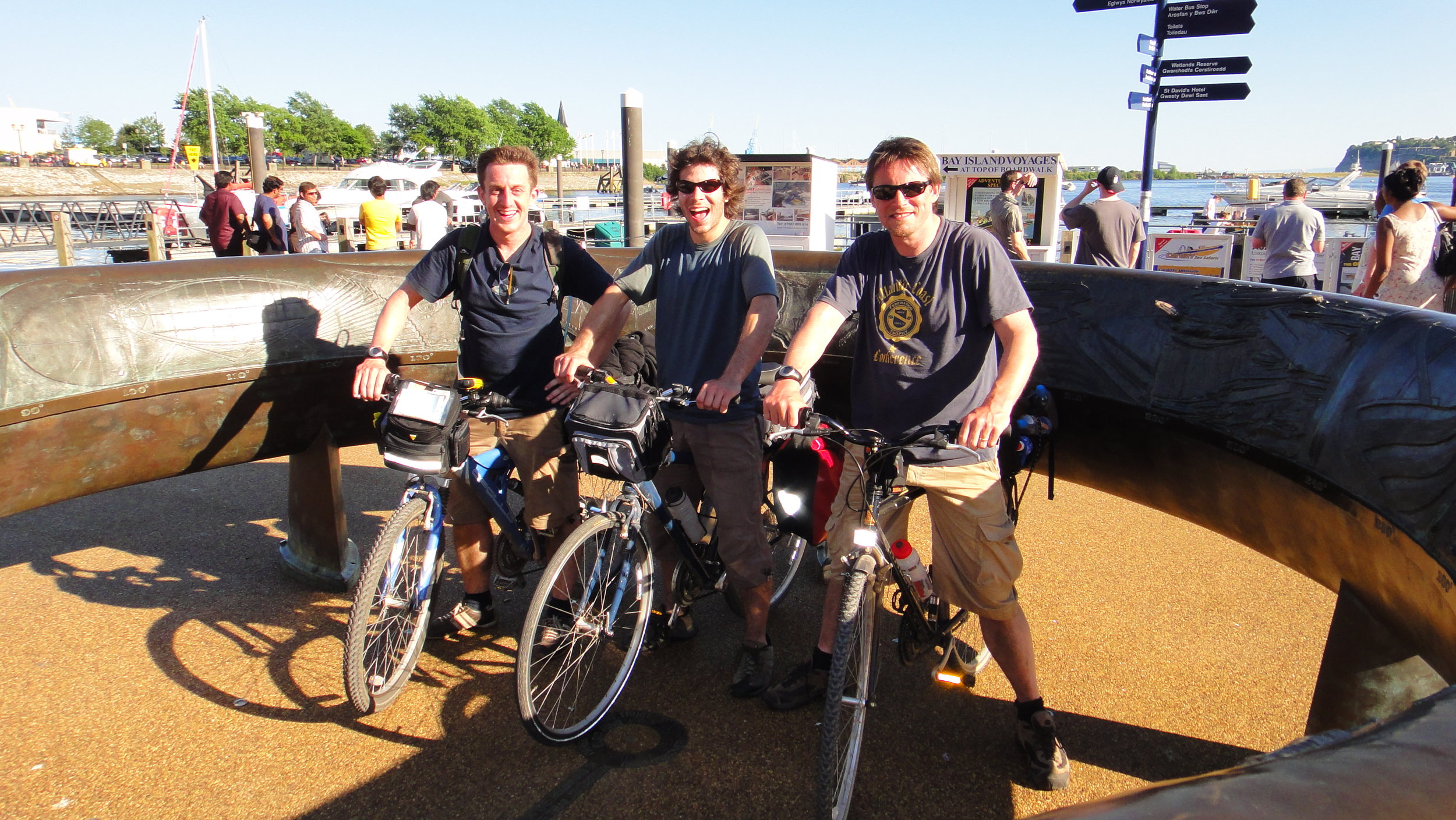
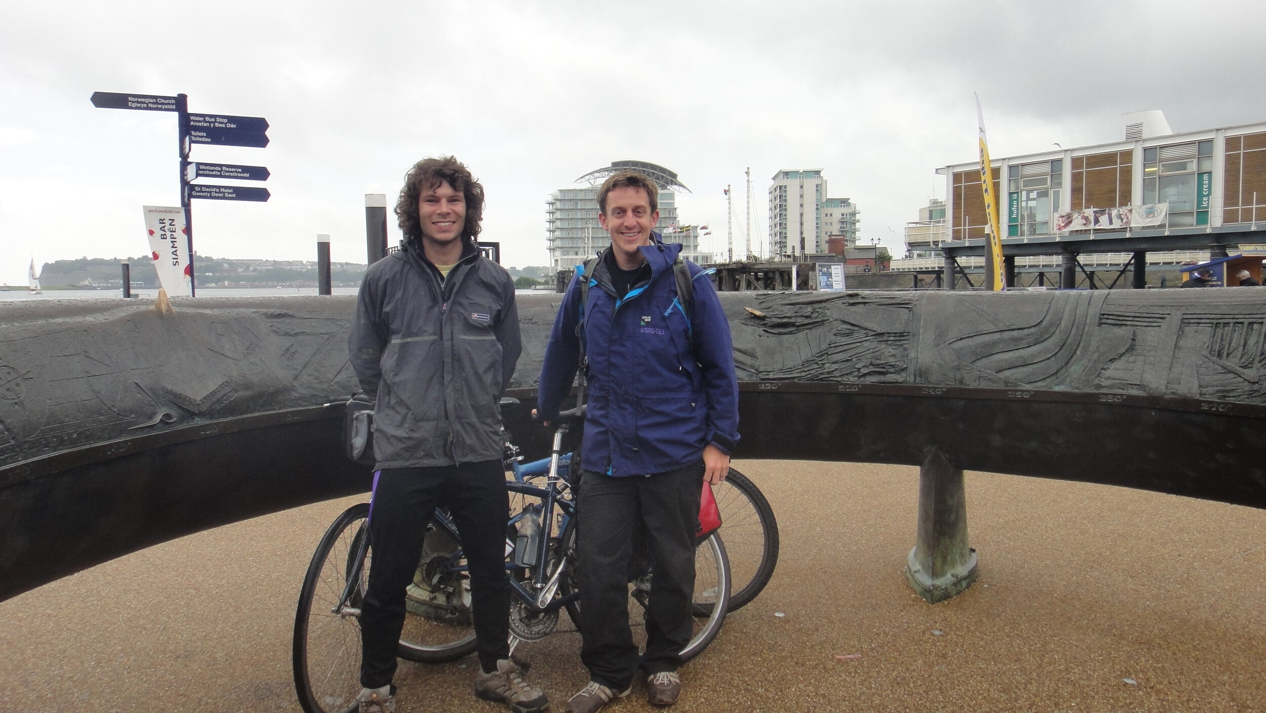
Start: The Celtic Ring, Cardiff, Wales
Finish:
Pulteney Bridge, Bridge Street, Bath, BA2 4AT
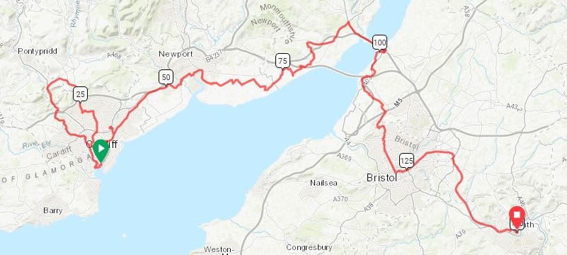
Planned Distance: 140 km / 87 miles. Actual Distance: 148 km / 92 miles
Planned Elevation Change: +902m / - 883m / Net +19m. Actual Elevation Change: +1,937m / -1,786m / Net + 151m
GPX File: get via Buy Me a Coffee
Other Routes Touched (walk): Taff Trail, Rhymney Valley Ridgeway Walk, Rhymney River Circular, Usk Way, Wales Coast Path, Severn Way, Bristol Triangular City Walk, River Avon Trail, The Dramway, Monarch’s Way
Other Routes Touched (cycle): NCN 8, 41, 410, 42
Links: Sustrans: NCN 8, Sustrans NCN 4, Wikipedia: Newport transporter Bridge


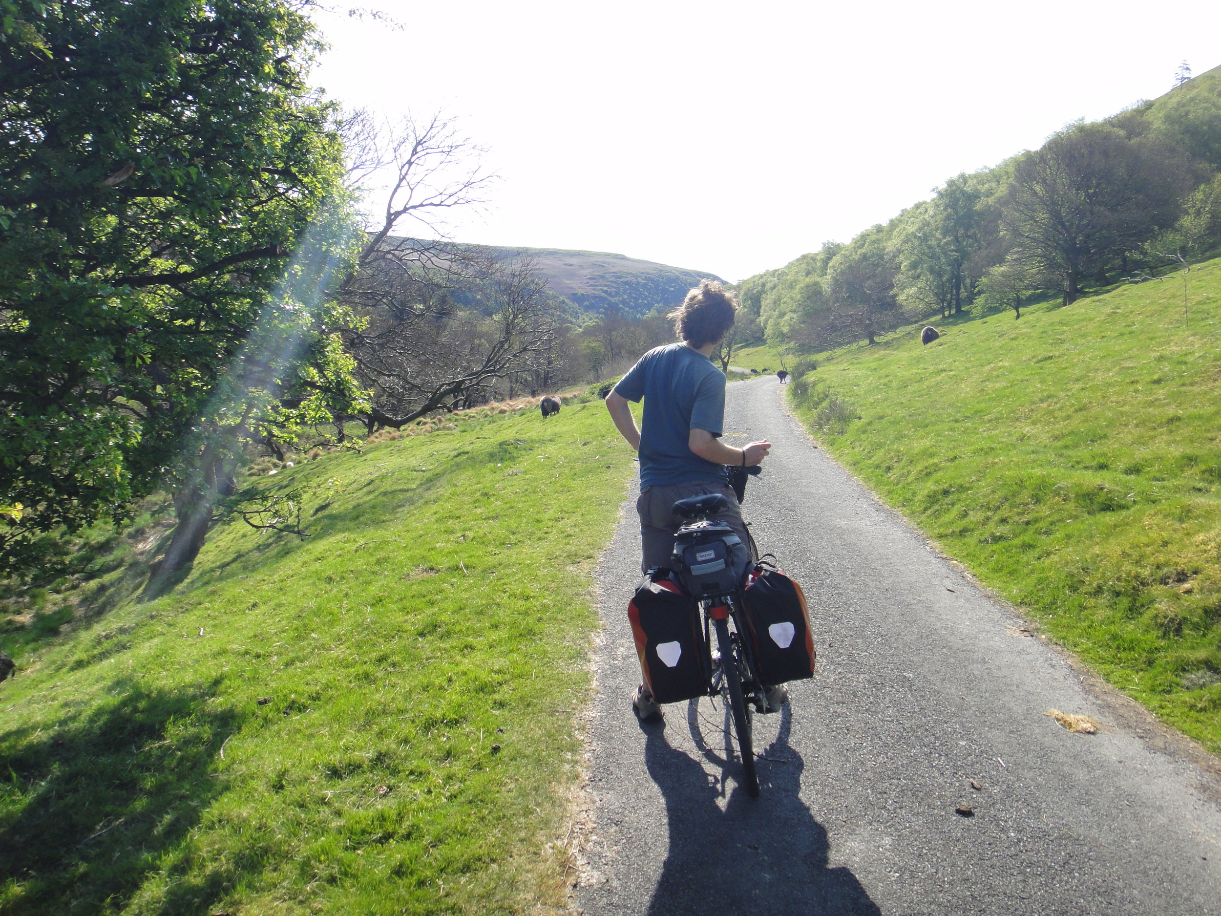
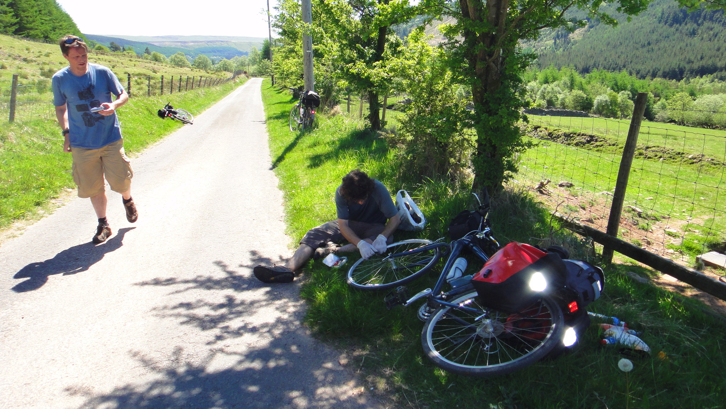
This was meant to be an easy one. My mate Charlie and I had recently completed the NCN 8 from Holyhead to Cardiff plus the NCN 4 from Bath to London. The plan for this one was to connect those 2 previous adventures by completing the NCN 4 section from Cardiff to Bath. This was in the days before we had iPhones and GPS routes to follow. We were familiar with the great signage of the NCN routes, so it was highly unlikely that we would get lost. Right.

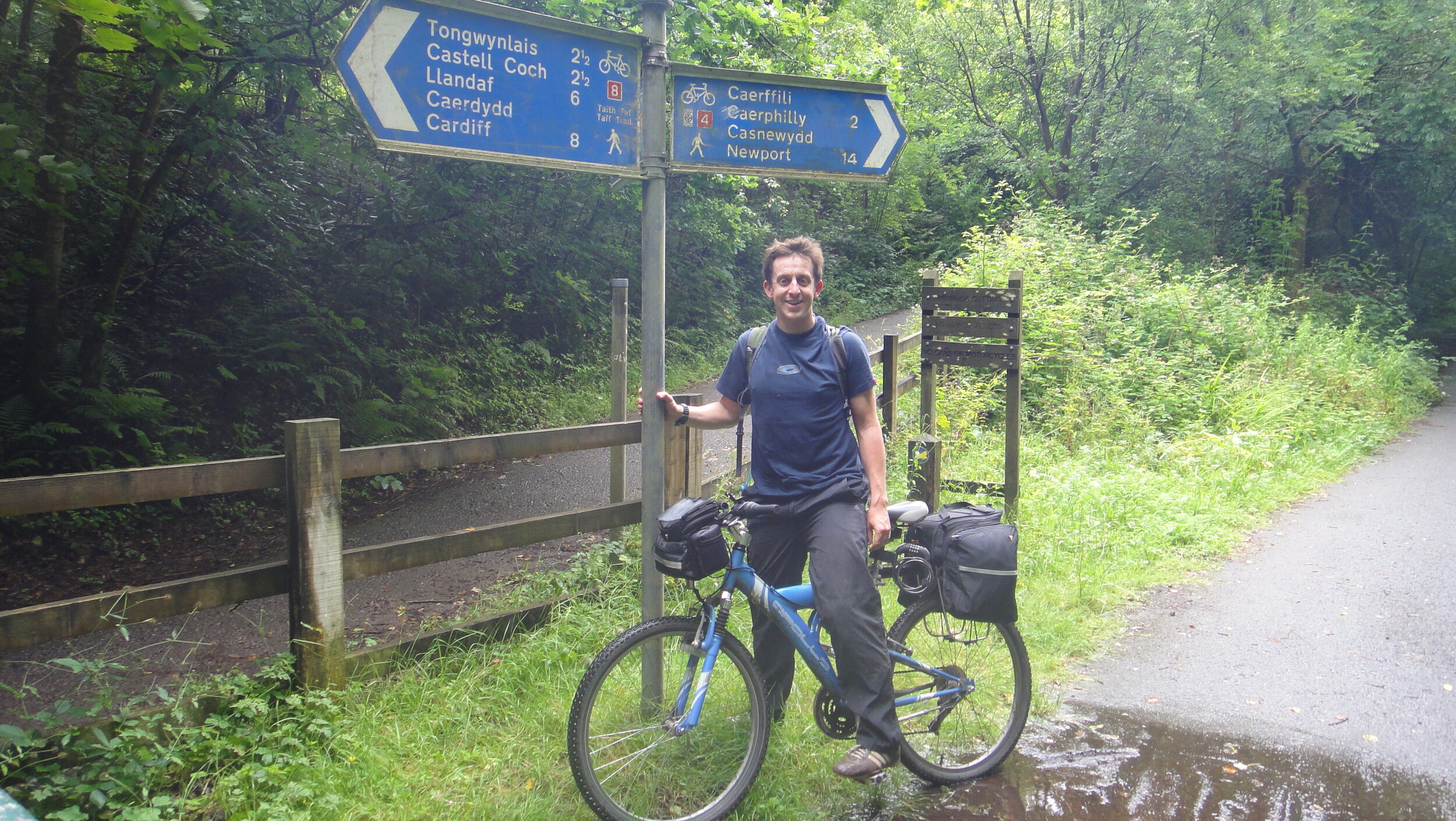
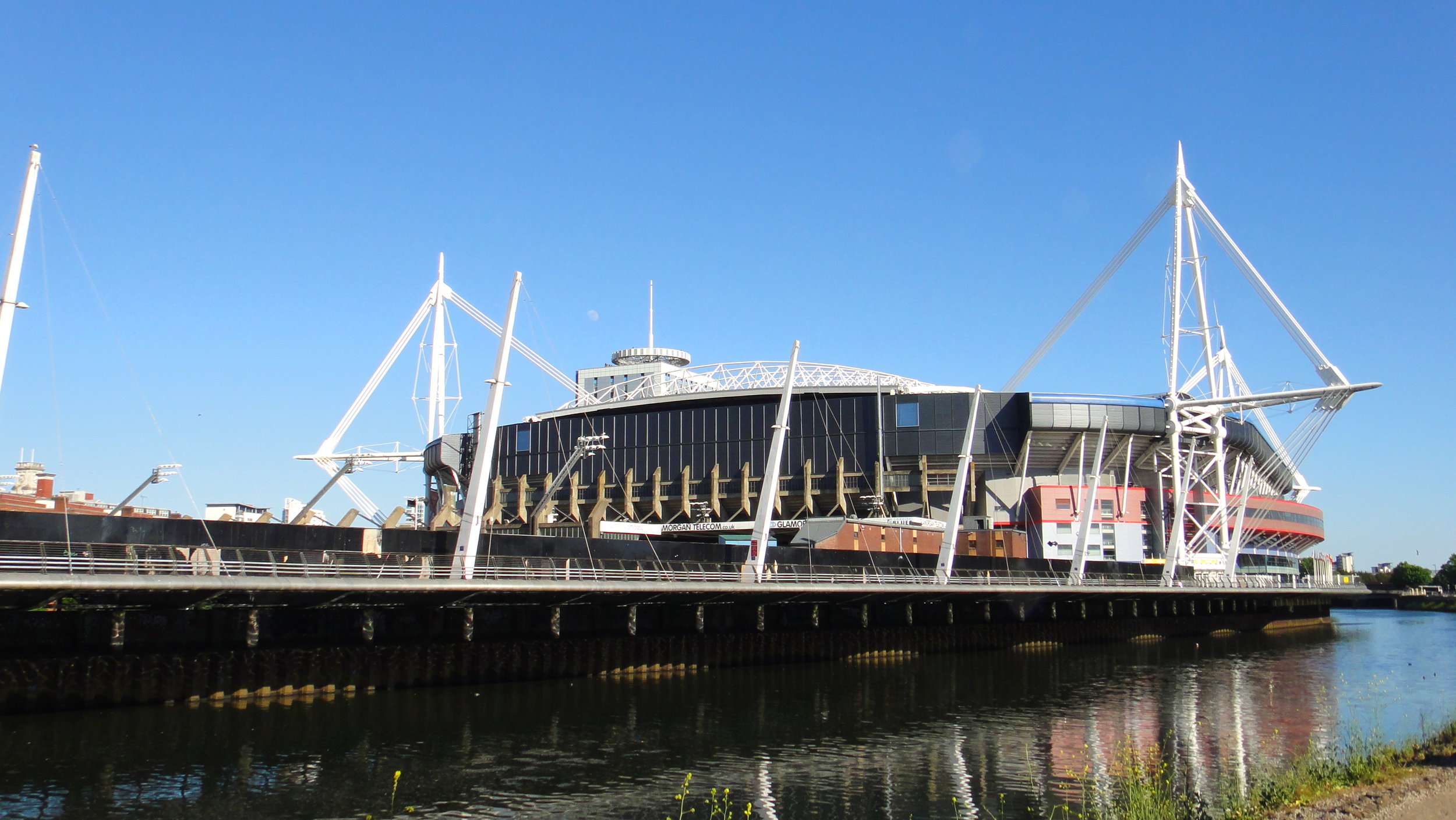
The plan was simple: start at Cardiff Harbour, take the NCN 8 North to Nantgarw then pick up the NCN 4 and follow it to Bath. What actually happened is that we found the NCN 4 junction but we took a wrong turn after only 1 km from Nantgarw and started heading South. I was convinced that if we continued heading East we would either find the cycle route again or come to a town where we could re-orientate ourselves. After 30 minutes we entered the outskirts of a large town. I was feeling that my plan was working as it must be Newport. It was only when I saw the roof of the Millennium Stadium that I realised that the plan had gone horribly wrong. We were back in Cardiff having spent a couple of hours on a futile 35 km loop.

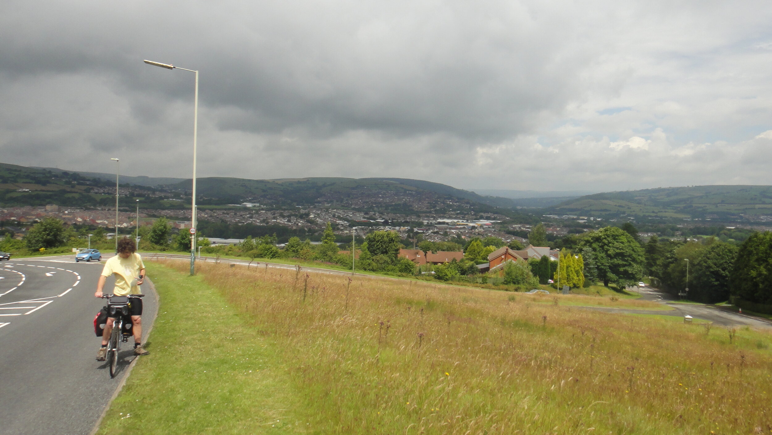
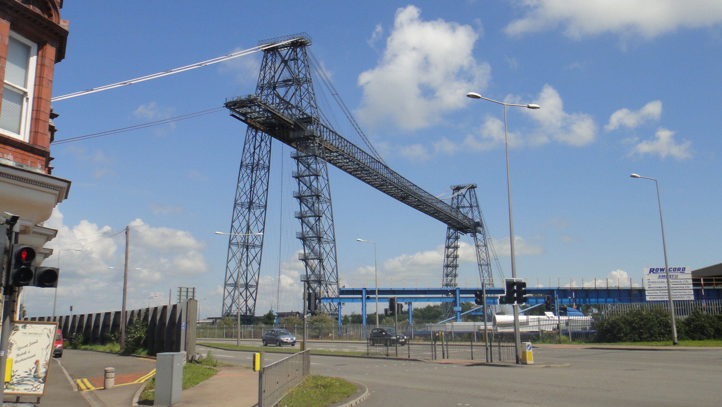
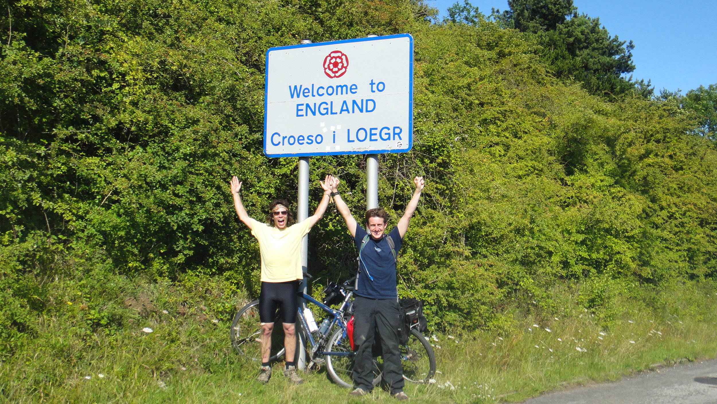
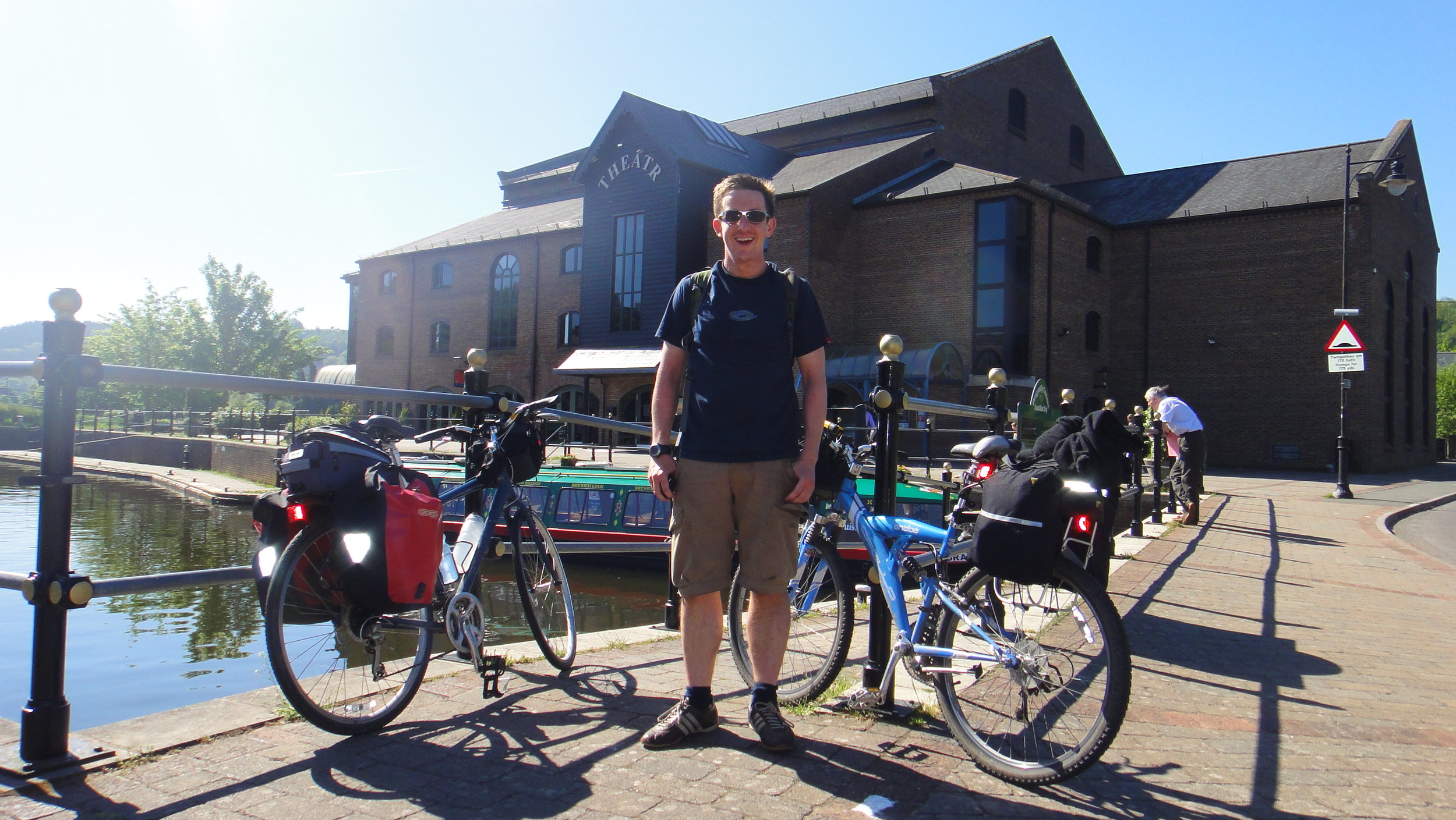
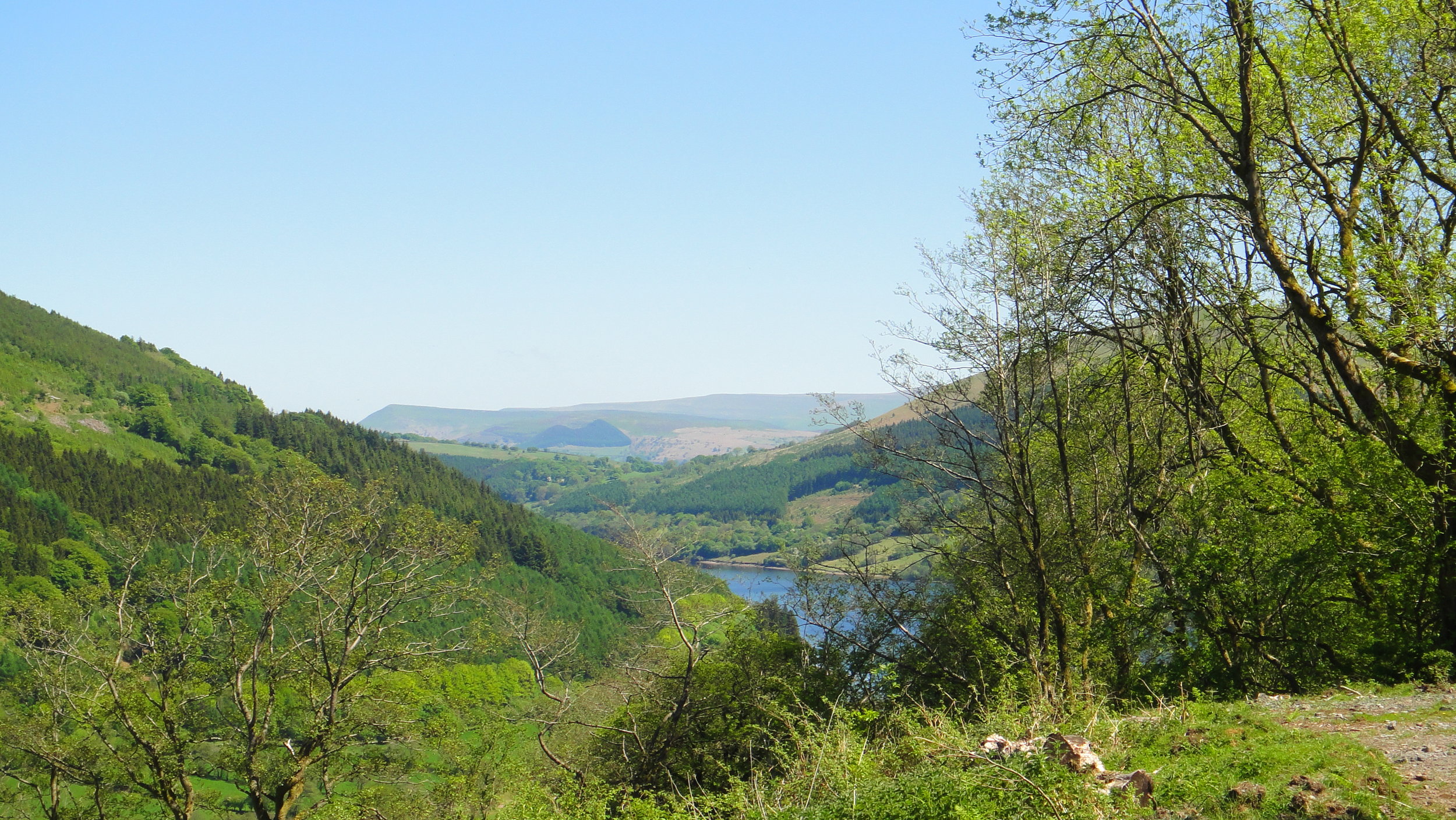
Having wasted 2 hours and now back at the start with the whole trip ahead of us we needed a Plan B. Rather than heading back up to the NCN 4 via the 8 we took busy main roads East from Cardiff. It wasn't pretty but it was easy and fast cycling. We picked up the NCN 4 in Maeglas near Newport and we were back on track. This turned out to be a good place to rejoin as we could visit the Newport Transporter Bridge.

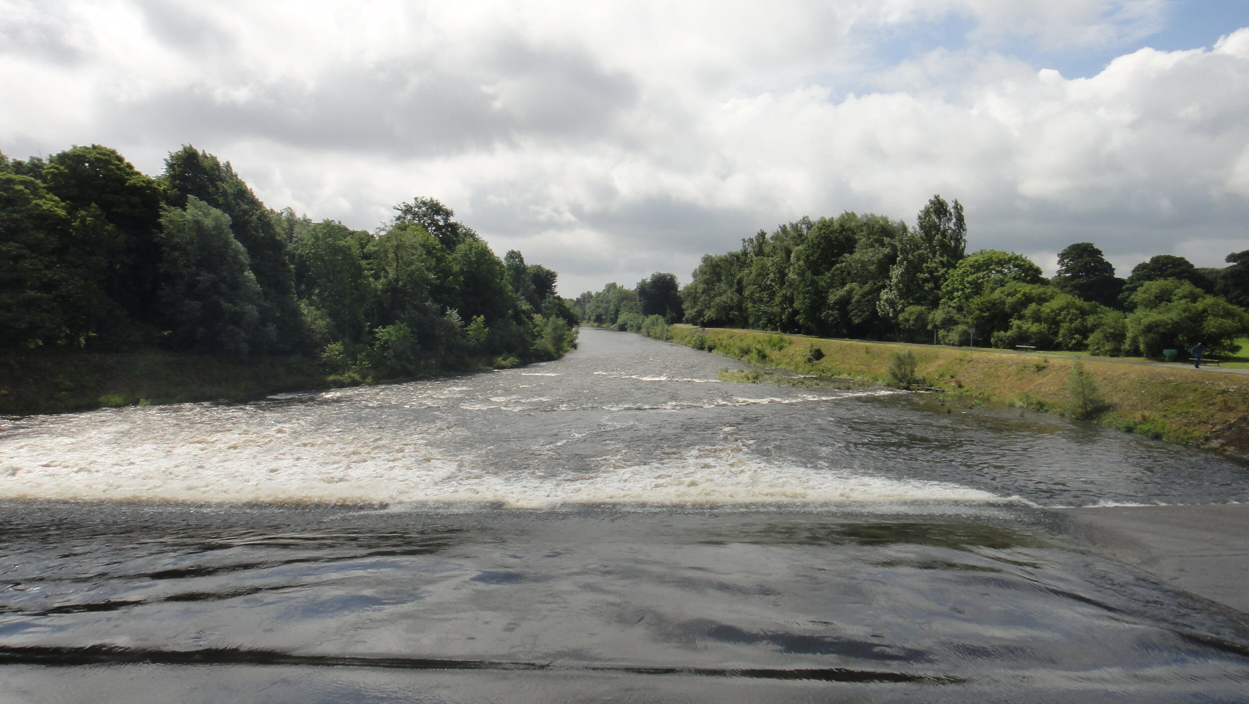
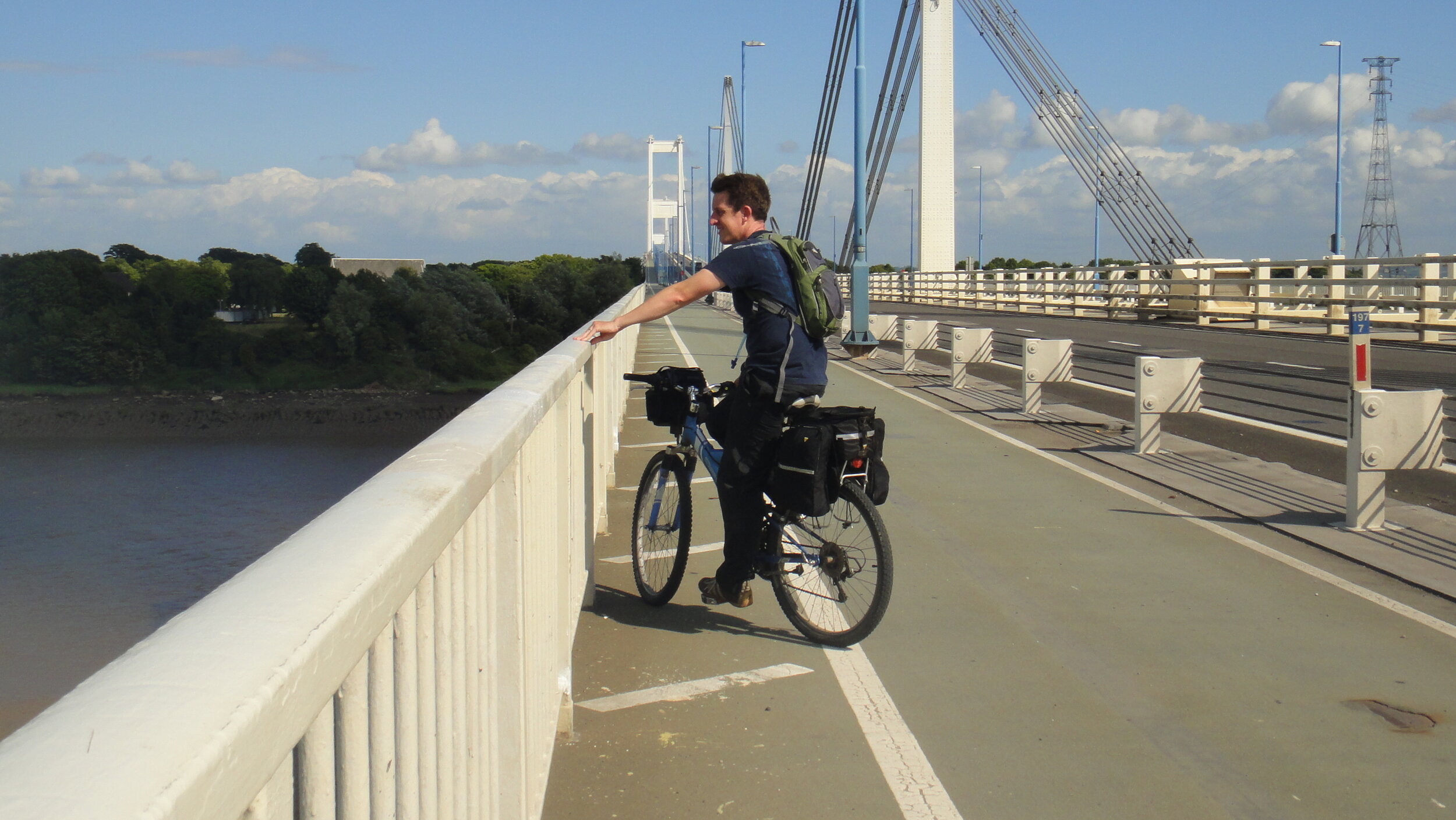
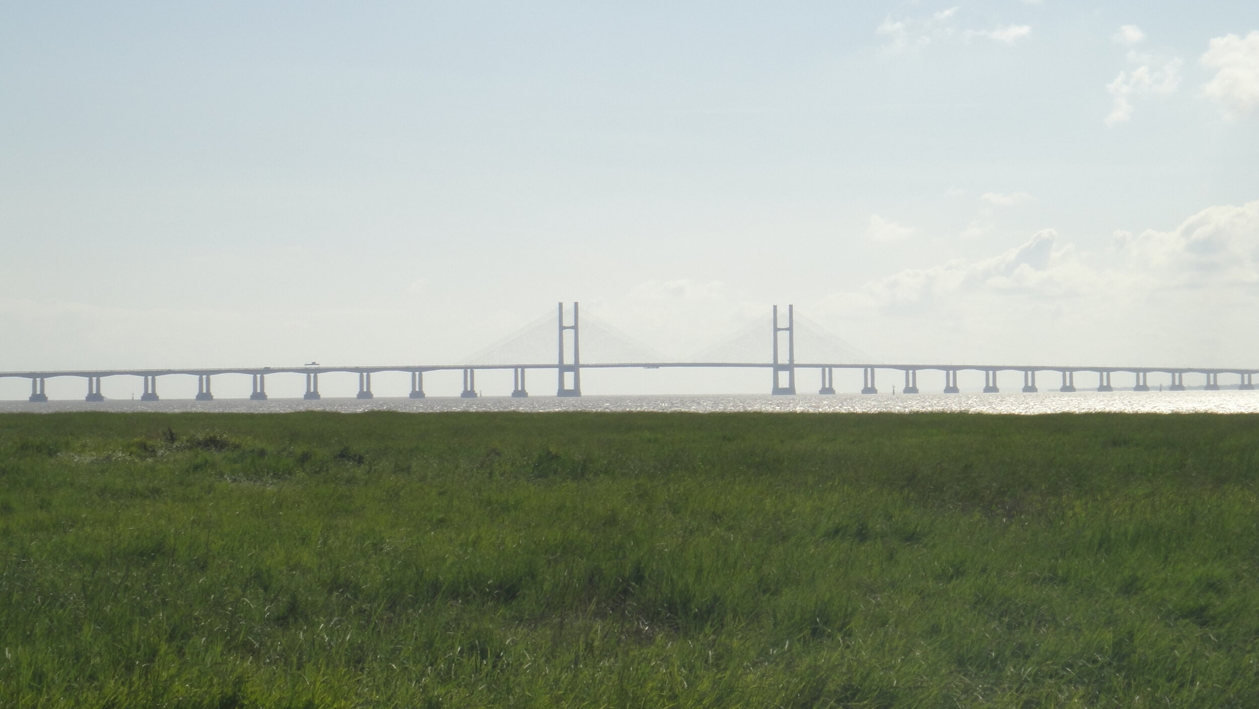
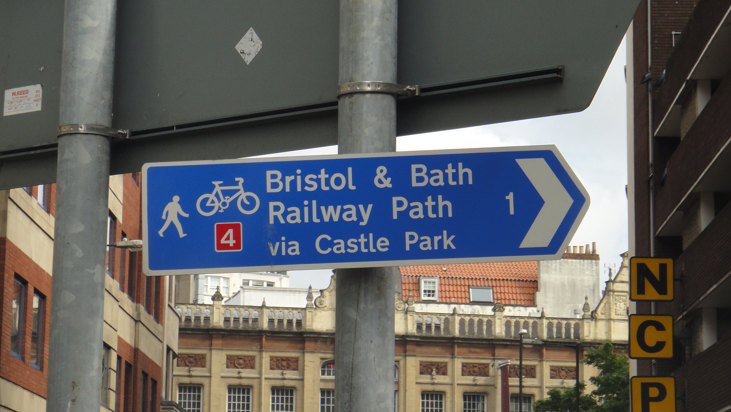
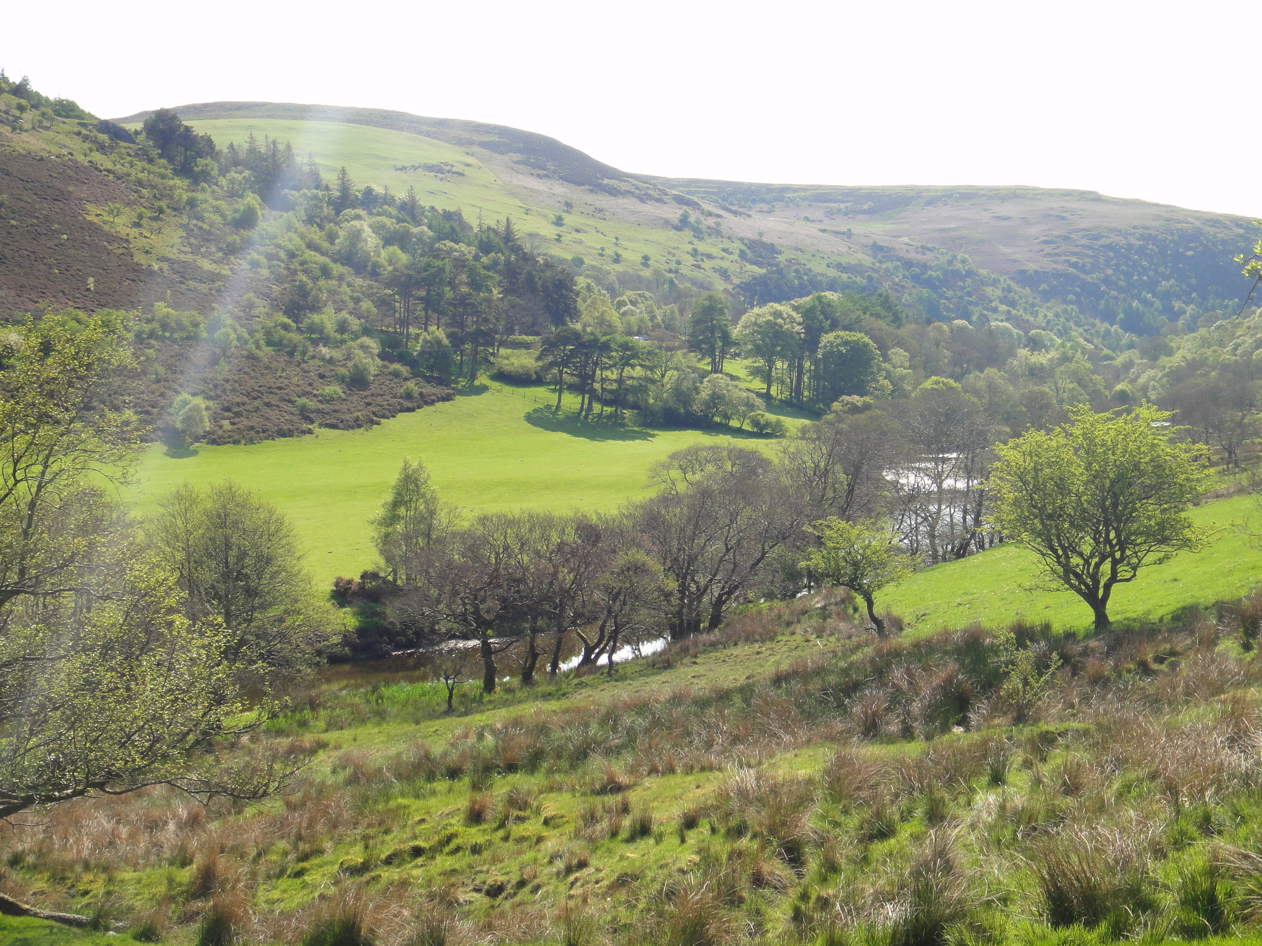
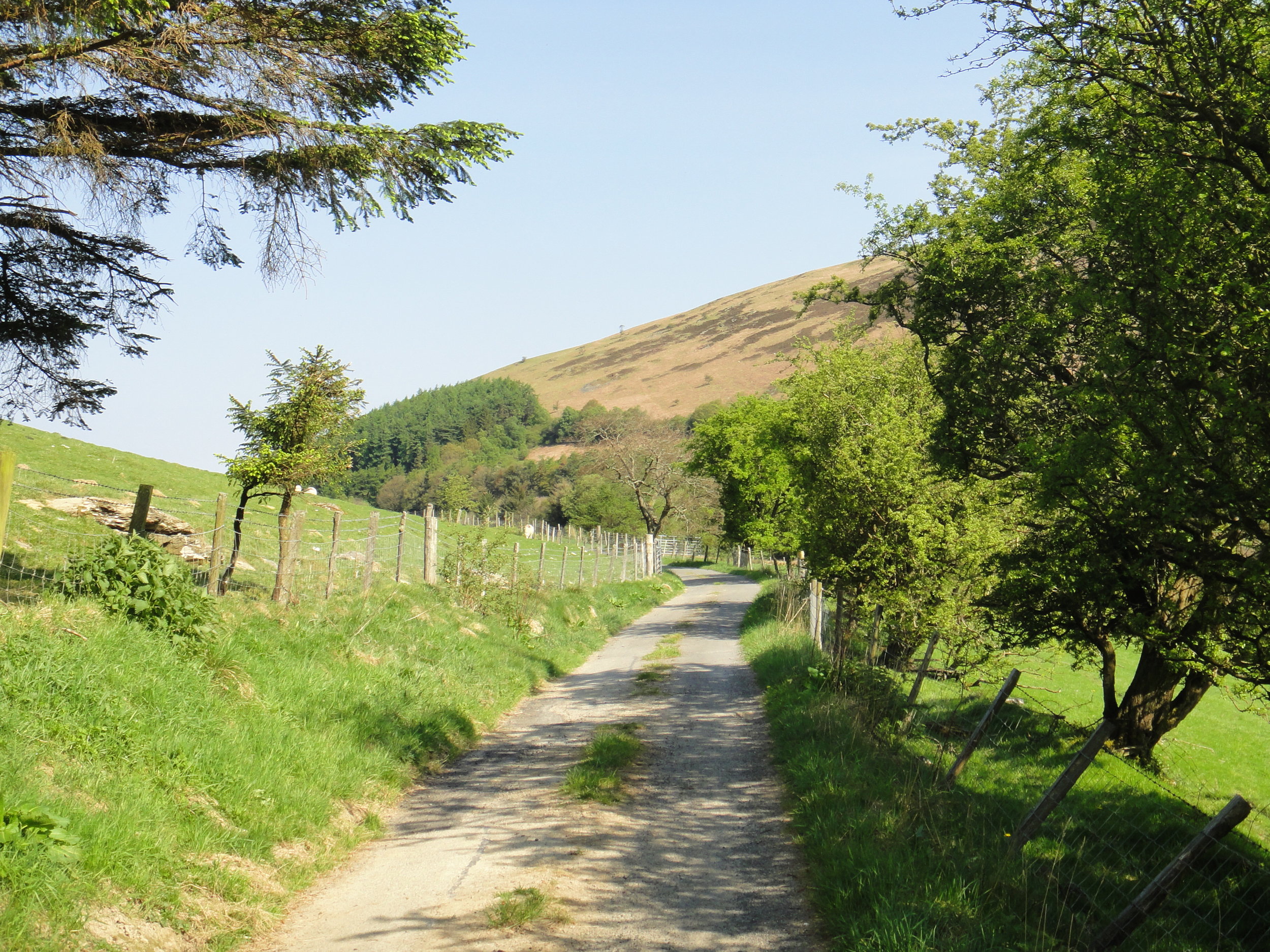
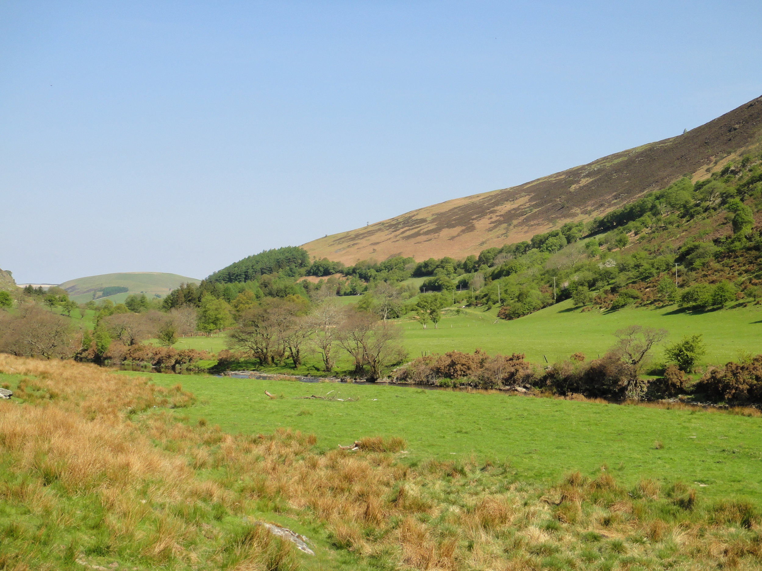
The rest of the trip was much more straightforward. The NCN 4 signage is great and we managed to follow it without screwing up like earlier in the day. This is an excellent route with the Severn Bridge crossing and the Bristol& Bath Railway Path as particular highlights.

Planned Route

Actual Route

map+-+NCN+4+Cardiff+To+Bath+-+Fail.jpg

Lôn Las Cymru: Cycling The NCN Route 8 Wales End To End

Cycling the NCN route 8, the Welsh End to End, was my alternative Stag Do. Although I had a more traditional one, my interests at the time were returning to the outdoors and this would end up being more memorable. It was a four day, three person adventure through the the heart of Wales.

The route is also know by its Welsh name, Lôn Las Cymru, which means Wales' Blue Lane. I'd only heard of this name in the last few years so I assume it adopted it since our trip. Whatever the name, it's a great North-South end to end as an alternative to, or warm up for the much longer LEJOG.

Unlike LEJOG the far ends of the route are easily accessible by train. We were travelling up from South East England and took a train from London Euston to Crewe then the North Wales Coast line to Holyhead. The return trip from Cardiff is even more straightforward with many options for trains heading east into England.

Once a busy port town for ferries to Dublin, Holyhead has lost its way in recent years. There's not much reason to stop in town now if you're taking the ferry. We were just staying one night but quickly ran out of things to do. It was a few years before I'd started my UK County Top obsession. If I'd known at the time it would have been a short cycle to Holyhead Mountain to bag the highest point in Anglesea. I returned a few years later to claim it on a tour of the North Wales County Tops.

After a good night's sleep we set off early to find the start of the route and make our way south. Splitting the trip into 4 days gives you enough time to see the country and get enough miles in. It also nice splits into 4 distinctly themed days.

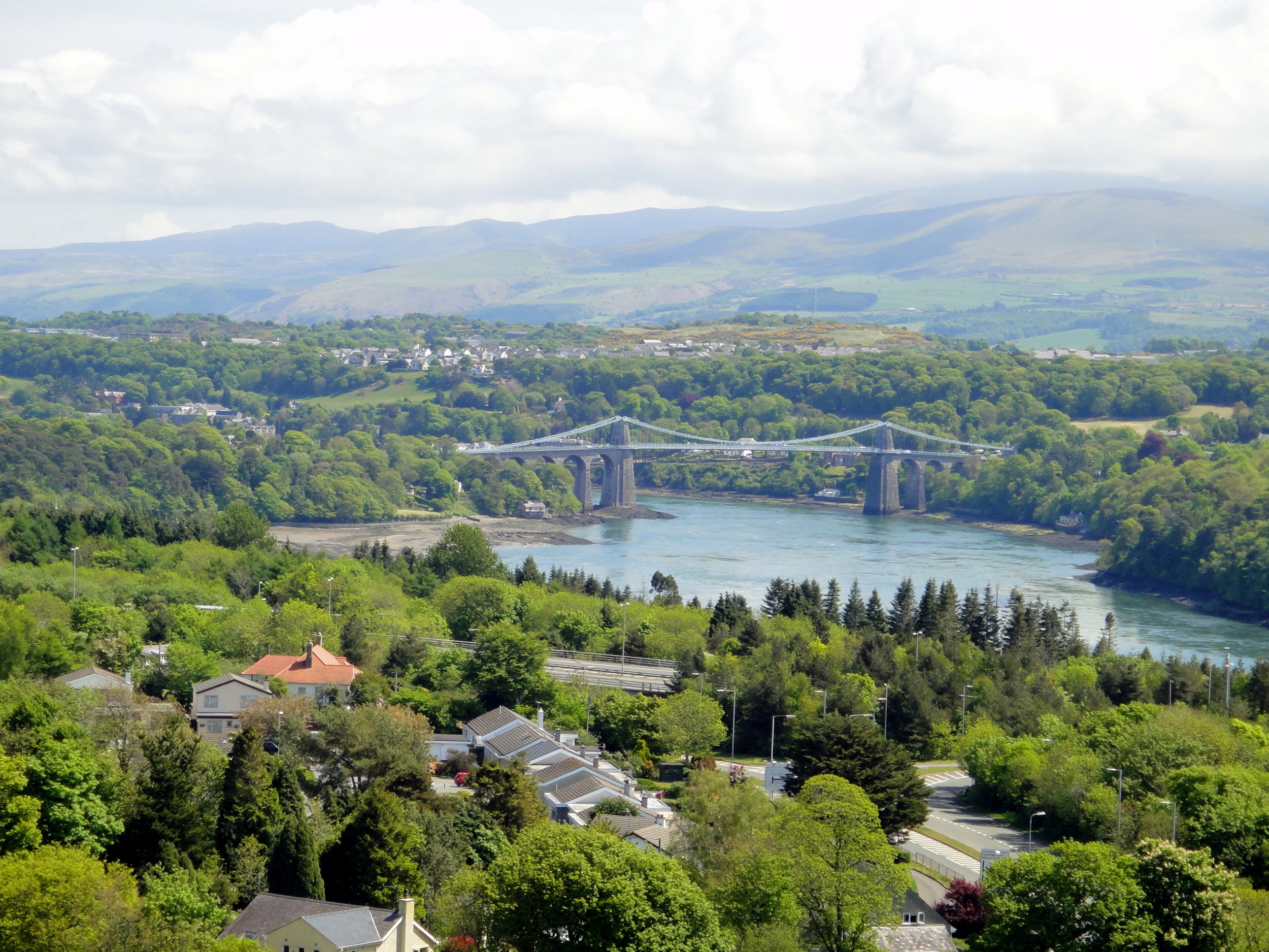
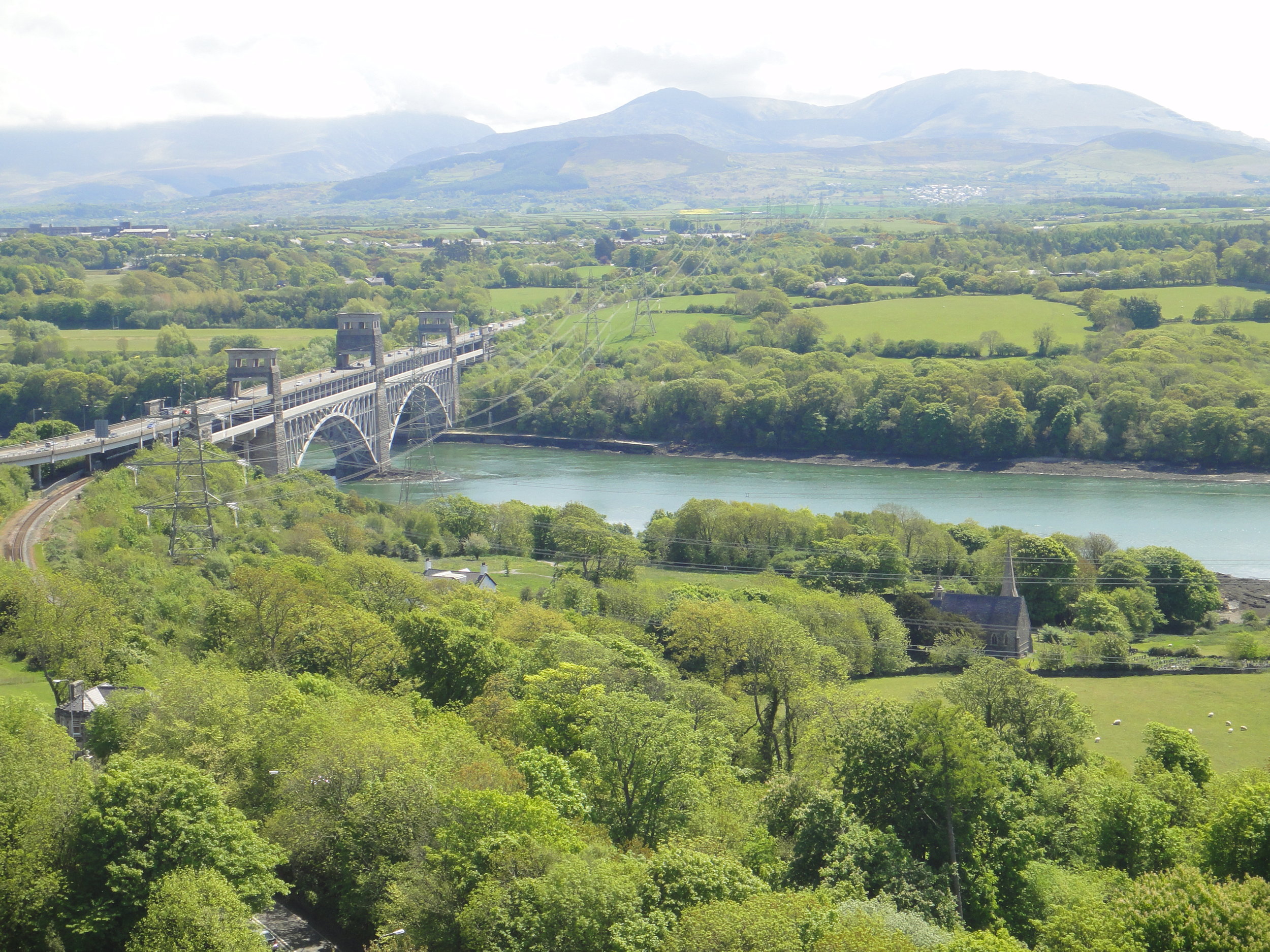
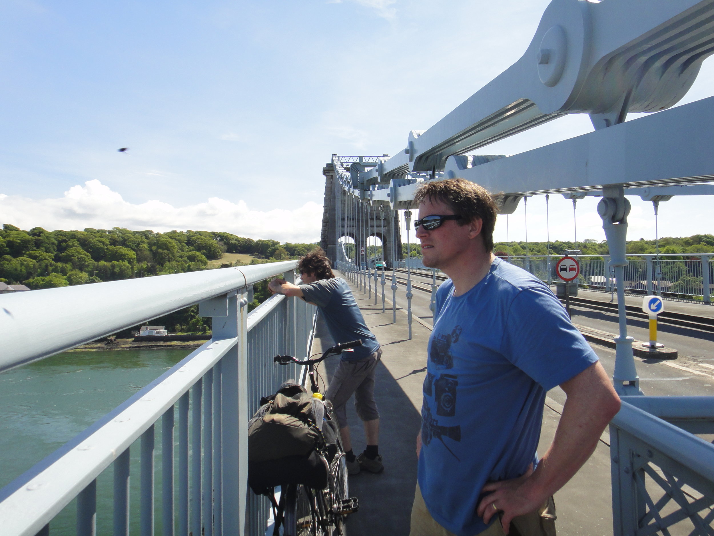
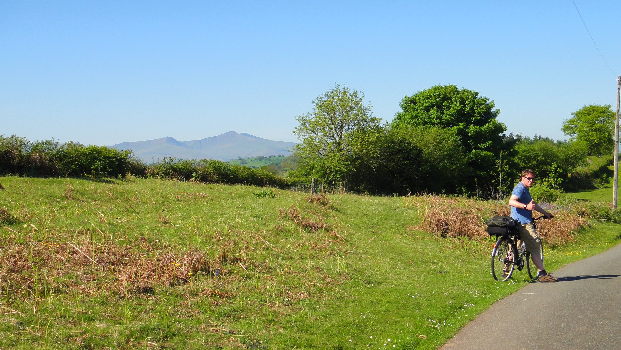
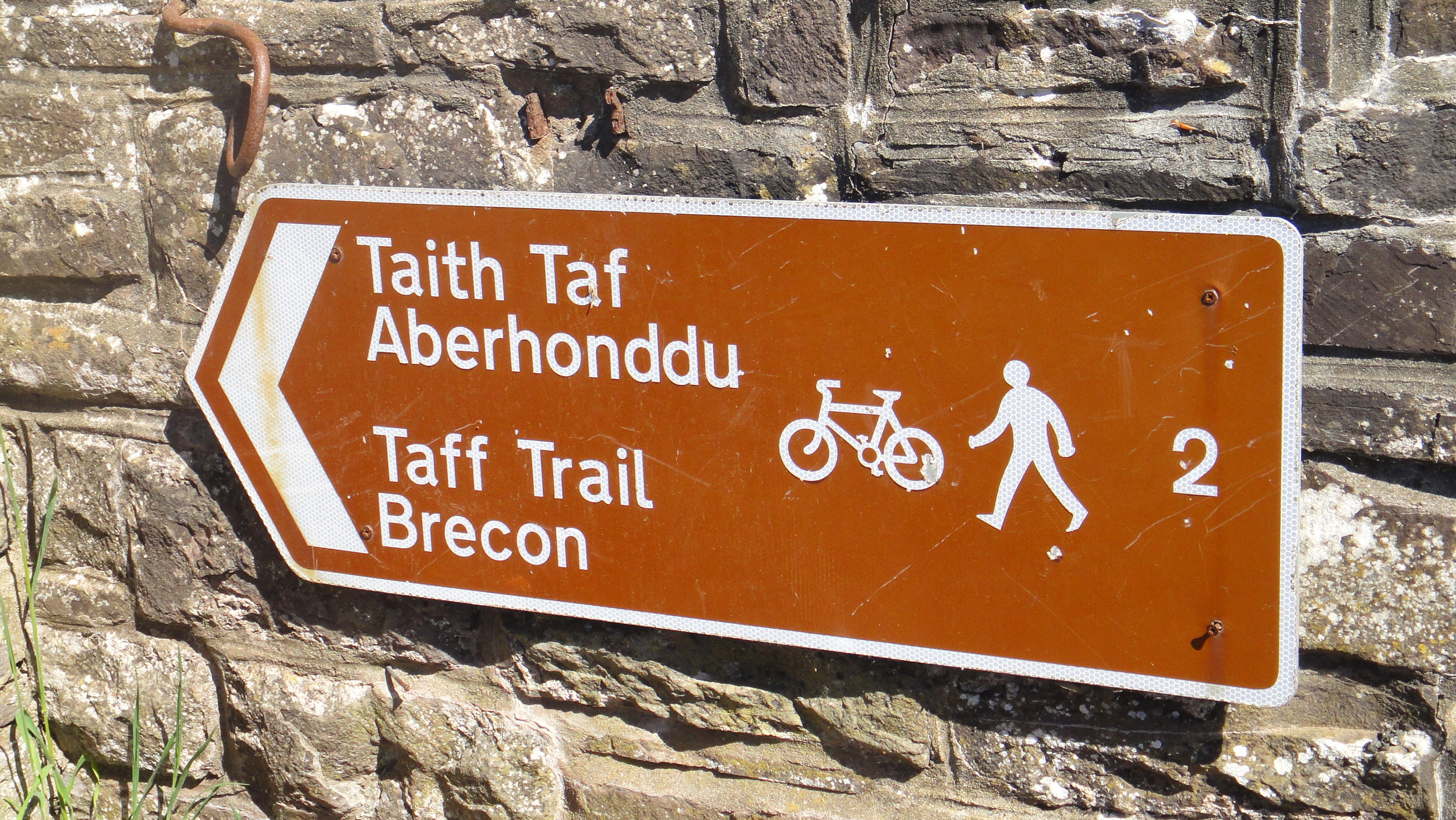
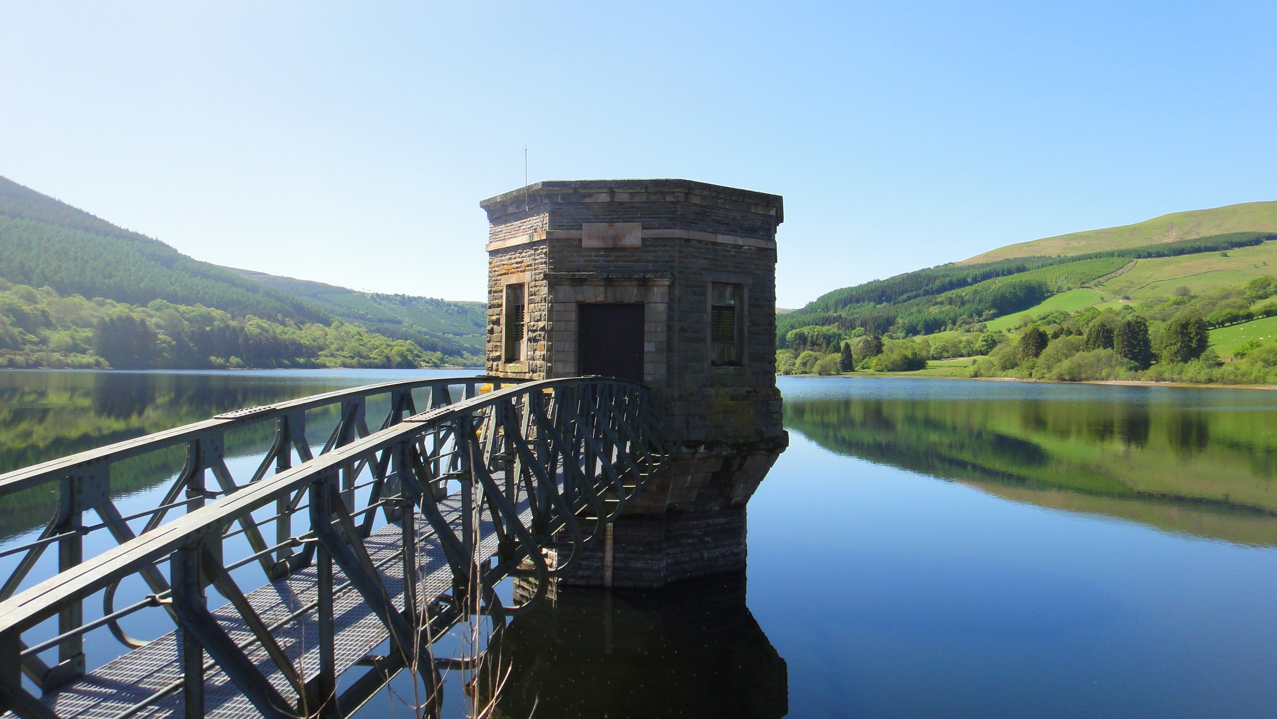
Day 1 is beautiful, cutting through the heart of Anglesea, over the Menai Bridge and across the top of the Llyn Peninular. By contrast, Day 2 is hilly with more dramatic scenery as you curve round the south western edge of the Snowdonia National Park. Day 3 is a gentler descent through mid-Wales through some stunning countryside often overlooked by tourists. Day 5 is the Grand Finale, tracking the Taff Trail through the Breacon Beacons National Park, through the valleys to Cardiff Bay.

For a more detailed description of the route I recommend the section in Big Rides (look out for my own Day 3 photo on page 76).


Day 1: Holyhead To Tremadog

Start: NCN8 Sign on Prince of Wales Road, Holyhead
Finish:
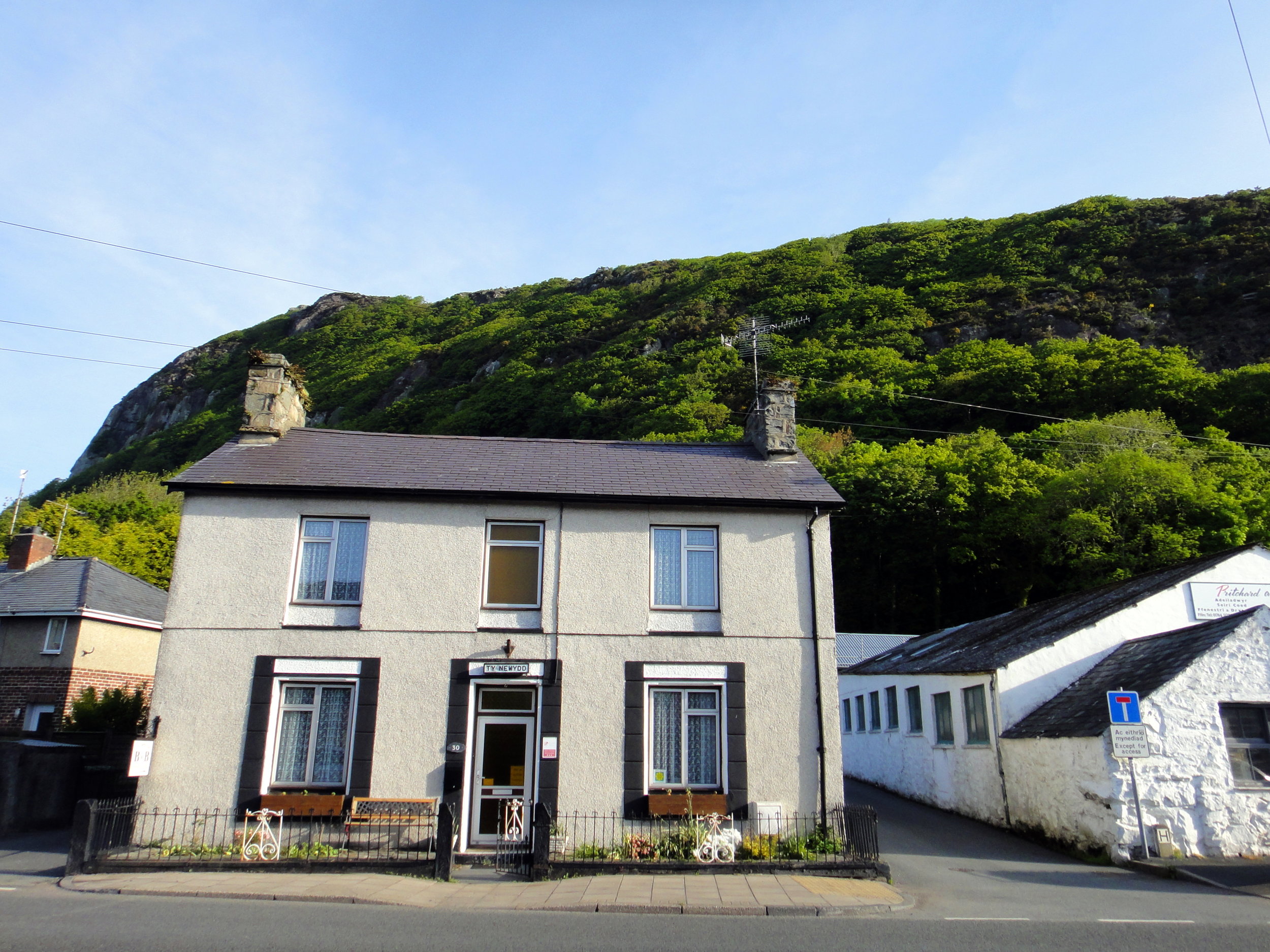
Ty Newydd, 30 Dublin Street, Tremadog, LL49 9RH
Distance: 108 km (67 miles)
Elevation change: +941m / - 945m / Net -4m
GPX File: get via Buy Me a Coffee
Other Routes Touched (Cycle): Giach Anglesey Cycle Path, Lôn Las Cefni,
Other Routes Touched (Walk): Isle of Anglesey Coastal Path, Wales Coast Path, Llŷn Coastal Path,
OS Map(s):
- OS Explorer 262 Anglesey West
- OS Explorer Map (263) Anglesey East
- OS Explorer OL17 Snowdon & Conwy Valley
- OS Explorer Map OL18 Harlech, Porthmadog & Bala/Y Bala
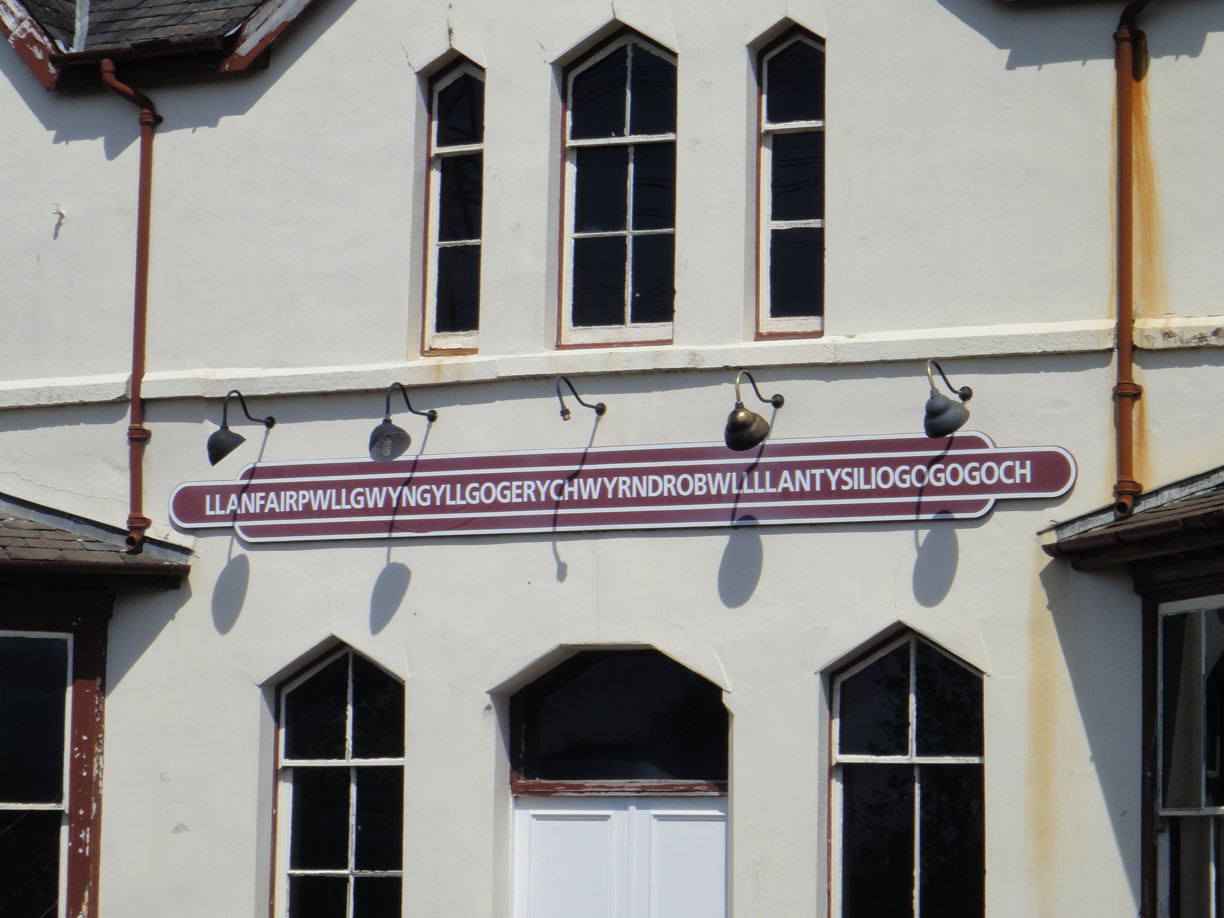
Links: Anglesey, Holyhead, Llanfair­pwllgwyngyll­gogery­chwyrn­drobwll­llan­tysilio­gogo­goch, Menai Bridge, Tremadog

elevation_profile.jpg

Day 2: Tremadog To Llangurig

Start: Ty Newydd, 30 Dublin Street, Tremadog, LL49 9RH
Finish:
Plas Y Bwlch, Llangurig, Nr Llanidloes, SY18 6RT
Distance: 121 km (75 miles)
Elevation change: +2,358m / - 2,073m / Net +285m
GPX File: get via Buy Me a Coffee
Other Routes Touched (Cycle): NCN 82, Mawddach Trail
Other Routes Touched (Walk): Wales Coastal Path, Glyndwrs Way, Severn Way
OS Map(s):
- OS Explorer Map OL18 Harlech, Porthmadog & Bala/Y Bala
- OS Explorer Map OL23 Cadair Idris & Llyn Tegid
- OS Explorer Map 215 Newtown, Llanfair Caereinion
- OS Explorer Map 214 Llanidloes & Newtown
Links: Tremadog, Porthmadog, Dolgellau, Llangurig

elevation_profile (1).jpg

Day 3: Llangurig To Talgarth

Start: Plas Y Bwlch, Llangurig, Nr Llanidloes, SY18 6RT
Finish:
Tower Hotel, The Square, Talgarth, Brecon, LD3 0BW
Distance: 80 km (50 miles)
Elevation change: +851m / - 1,014m / Net -163m
GPX File: get via Buy Me a Coffee
Other Routes Touched (Cycle): NCN 81, 818
Other Routes Touched (Walk): Wye Valley Walk
OS Map(s):
- OS Explorer Map 214 Llanidloes & Newtown
- OS Explorer 200 Llandrindod Wells & Elan Valley & Rhayader
- OS Explorer Map (188) Builth Wells, Painscastle and Talgarth
Links: Llangurig, Rhayader, Newbridge-On-Wye, Builth Wells, Glasbury, Talgarth


Day 4: Talgarth To Cardiff

Start: Tower Hotel, The Square, Talgarth, Brecon, LD3 0BW
Finish:
Celtic Ring, Cardiff Bay
Distance: 103 km (64 miles)
Elevation change: +948m / - 1,065m / Net -117m
GPX File: get via Buy Me a Coffee
Other Routes Touched (Cycle): NCN 4, 47
Other Routes Touched (Walk): Taff Trail, Beacons Way, Pontypridd Circular, Wales Coast Path
OS Map(s):
- OS Explorer Map (188) Builth Wells, Painscastle and Talgarth
- OS Explorer OL13 Brecon Beacons National Park - Eastern Area
- OS Explorer Map (166) Rhondda and Merthyr Tydfil 
- OS Explorer Map (151) Cardiff and Bridgend/Caerdydd a Phen-y-bont ar Ogwr
Links: Talgarth, Brecon, Talybont-on-Usk, Pontsticill, Merthyr Tydfil, Aberfan, Pontypridd, Cardiff


The complete route

Each colour represents an individual day


Cycling The Kennet and Avon Canal
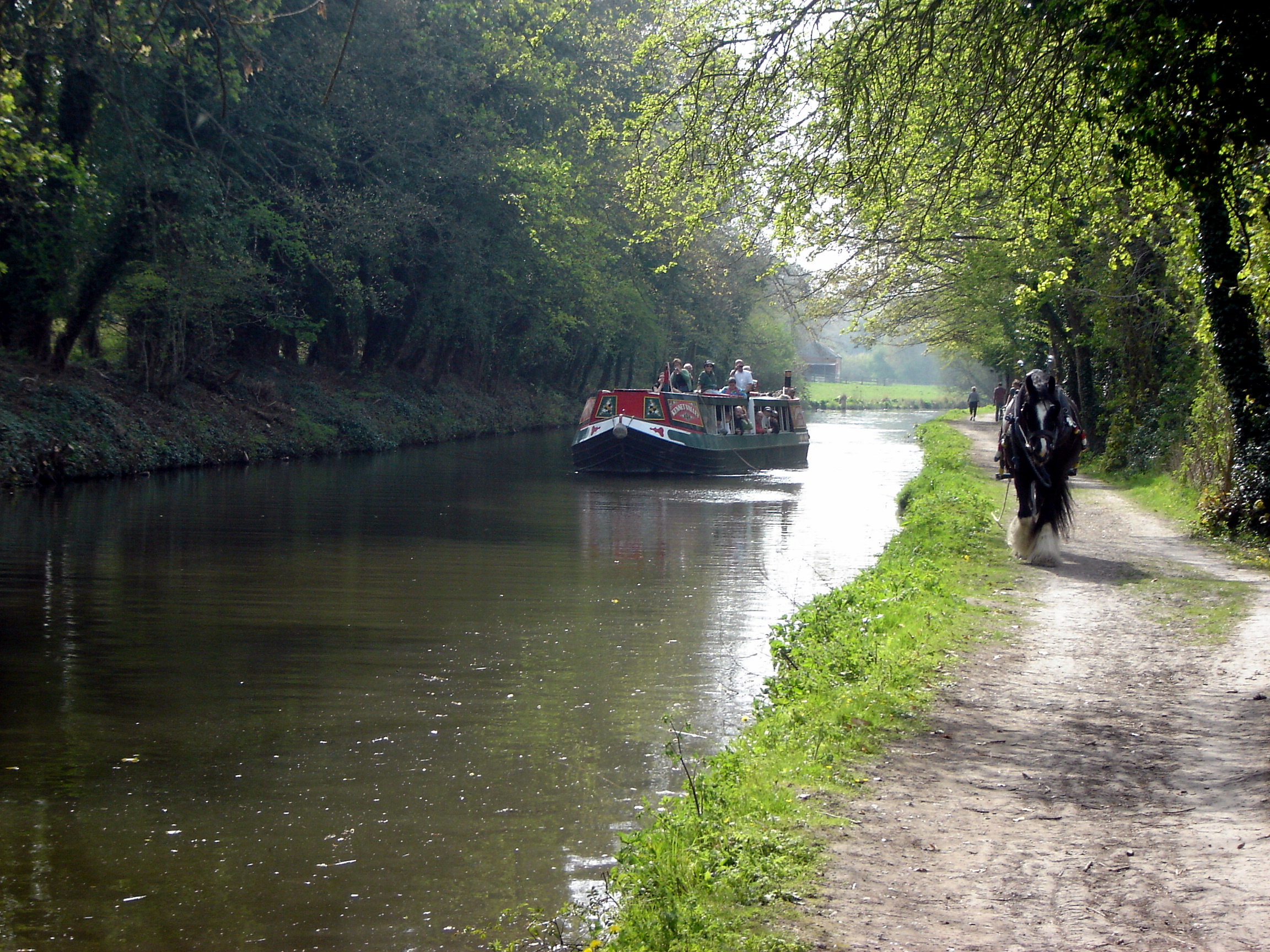
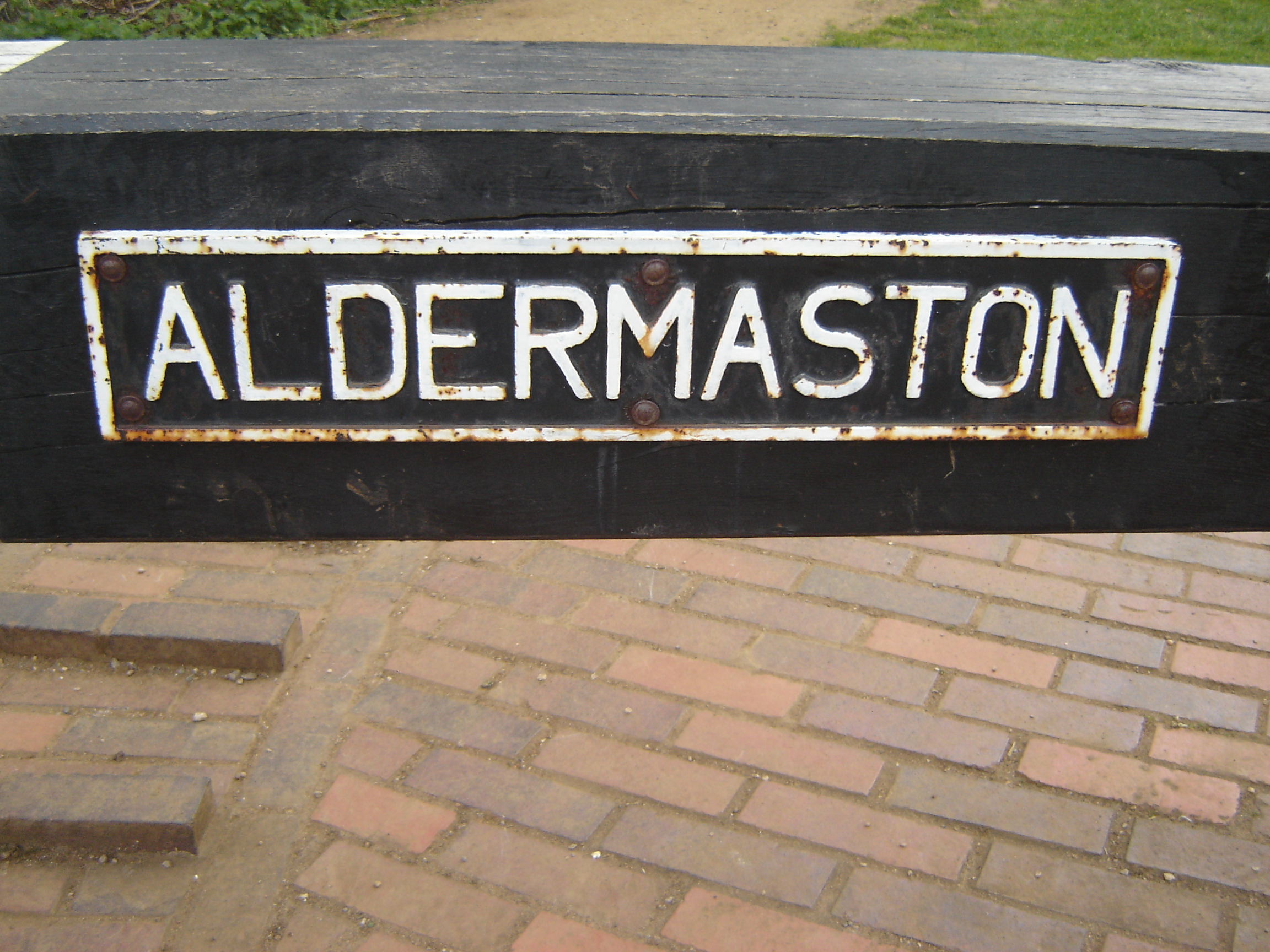
Kennet and Avon Canal near Aldermaston

Kennet and Avon Canal near Aldermaston


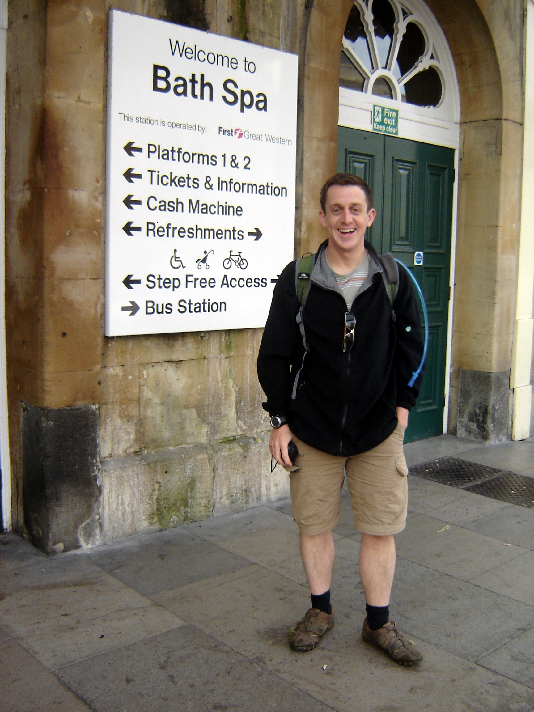
Start: Bath Spa Railway Station, Bath BA1 1SU
Finish:
Reading Railway Station, Station Approach, Reading RG1 1LZ
Distance: 79 miles / 127 km
Elevation Change: +385m / - 374 m / Net -11m
GPX File: get via Buy Me a Coffee
Other Routes Touched (walk): Kennet and Avon Canal Trail, Limestone Link, Macmillan Way, Wessex Ridgeway, Great Stones Way, Lambourn Valley Way, Thames Path
Other Routes Touched (cycle): NCN 424, 254, 45, 403, 5, Round Berkshire Cycle Route
Maps: OS Explorer Map (155) Bristol and Bath, OS Explorer Map (156) Chippenham and Bradford-on-Avon, OS Explorer Map (157) Marlborough and Savernake Forest, OS Explorer Map (158) Newbury and Hungerford, OS Explorer Map (159) Reading, Wokingham and Pangbourne
Links: Canal & River Trust: Kennet & Avon Canal, Sustrans NCN 4


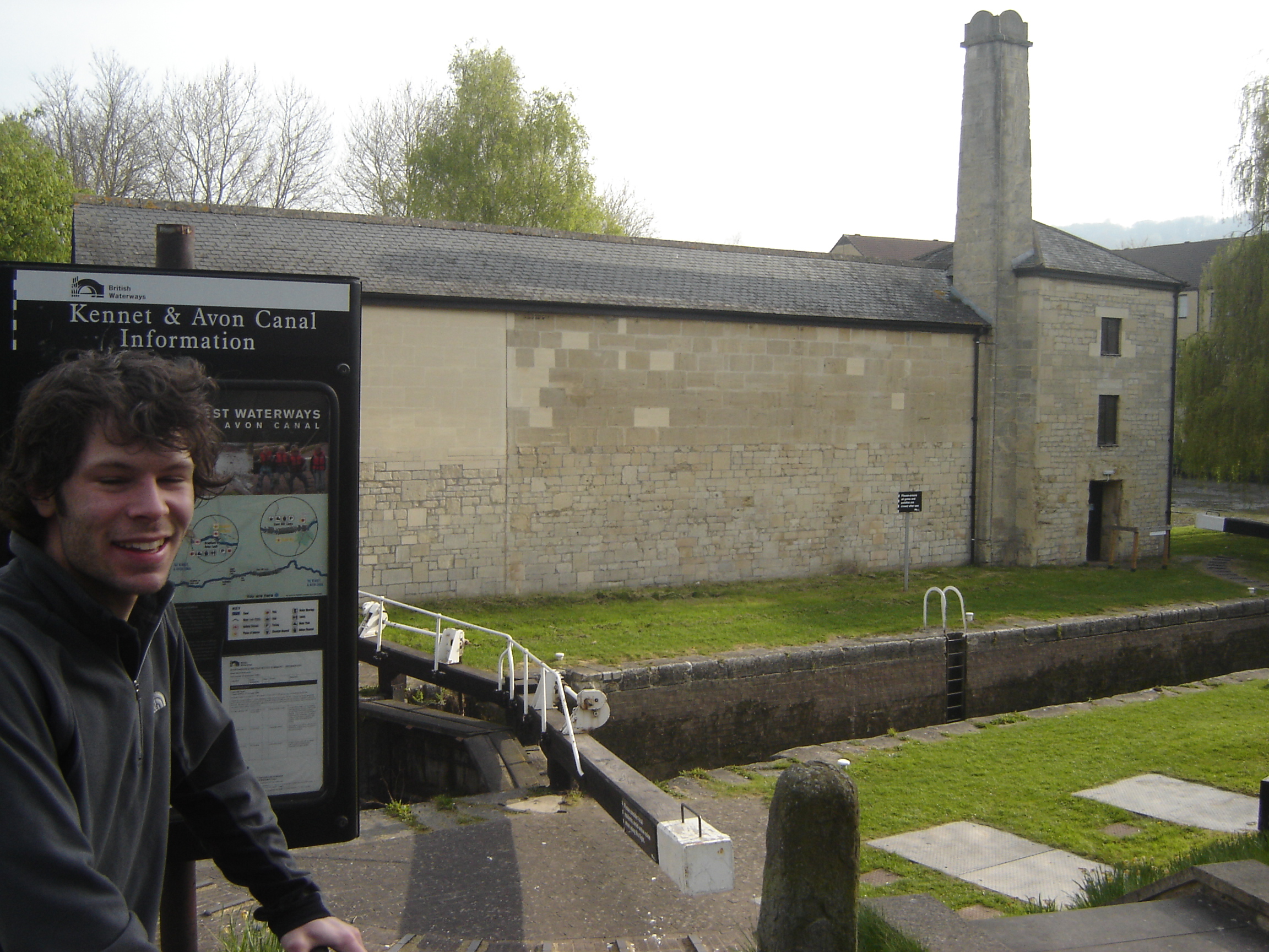
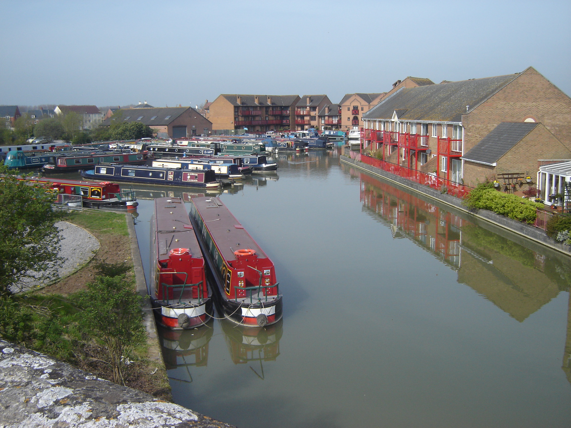
This is a long but easily navigable day-trip along the Kennet & Avon Canal from Bath to Bristol. The NCN 4 uses a lot of the canal towpath but runs parallel to it in some places. We chose to keep the the towpath rather than follow the strict path of the NCN 4. Bath and Reading are connected by regular fast trains, so doing this as a 1-day point-to-point trip is pretty straightforward.

From Bath Spa station, cross the River Avon and pass North through Bath City Centre until you reach NCN 4 on Cheap Street. Follow the NCN 4 East to Pulteney Bridge. Continue for another 1 km through Bathwick until you meet the Kennet & Avon Towpath after crossing the railway line on Beckford Road.

At Devizes you have the first choice about continuing along the towpath or taking the NCN 4. Either route will get you to Reading and they meet several times along the way.

The Kennet and Avon Canal ends when it meets the River Thames at Reading. From here take the NCN 5 heading West along the Thames Path to Reading Bridge where you’ll be in sight of Reading Station.


London Marathon

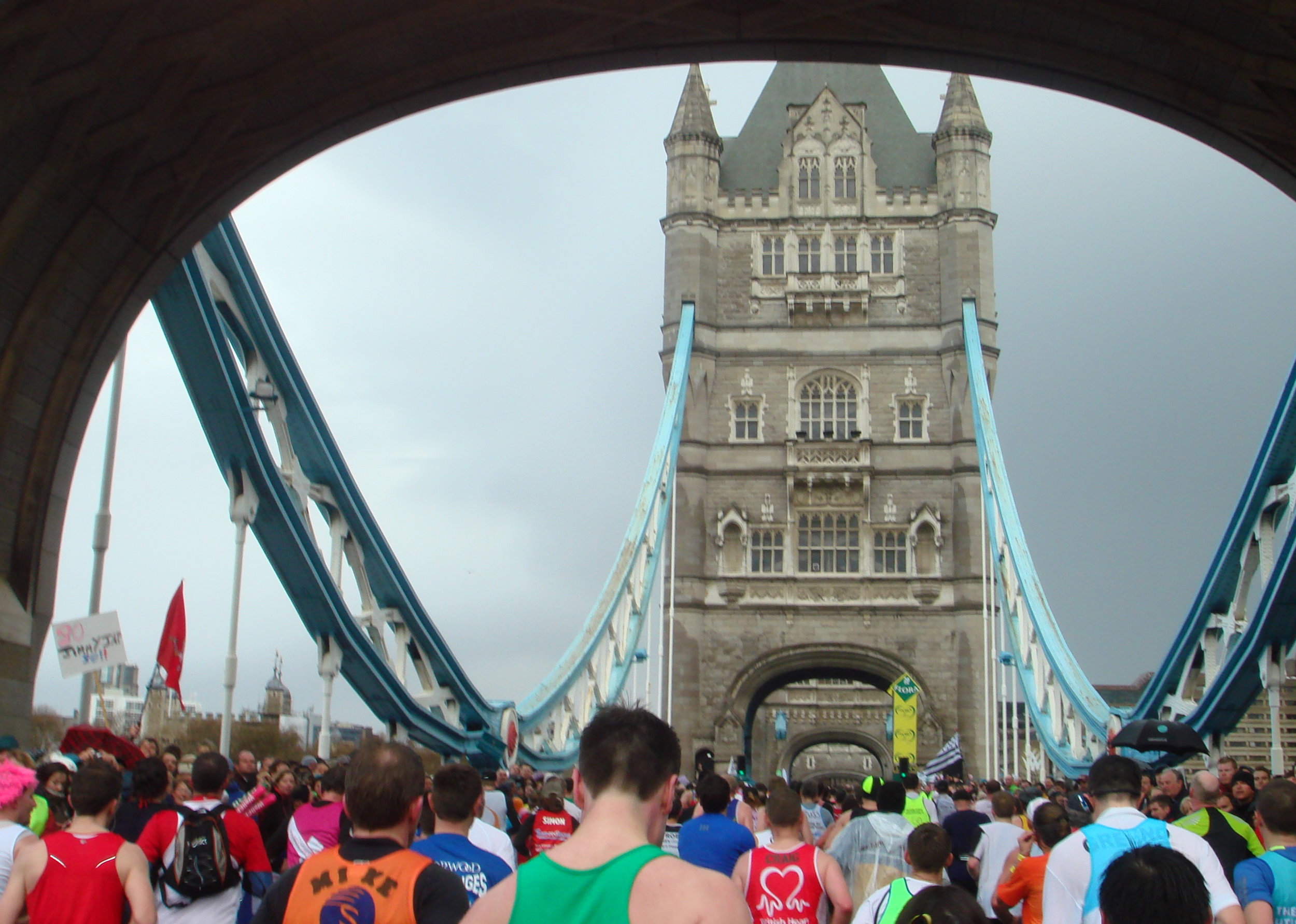
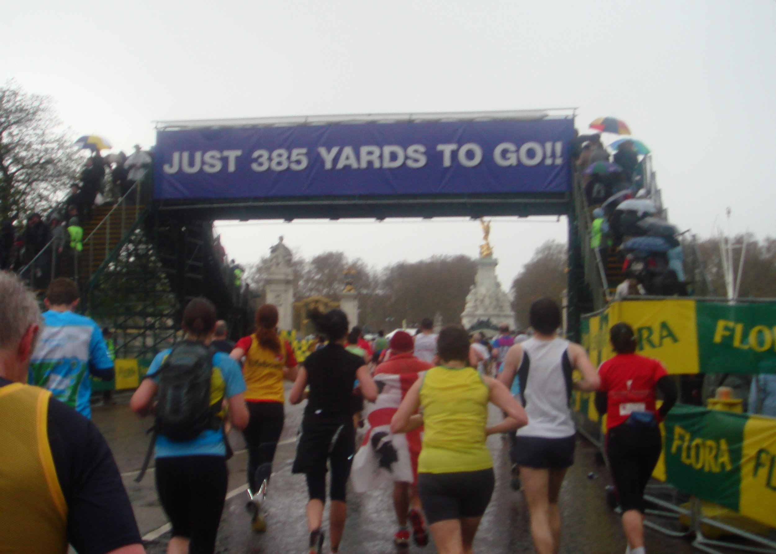
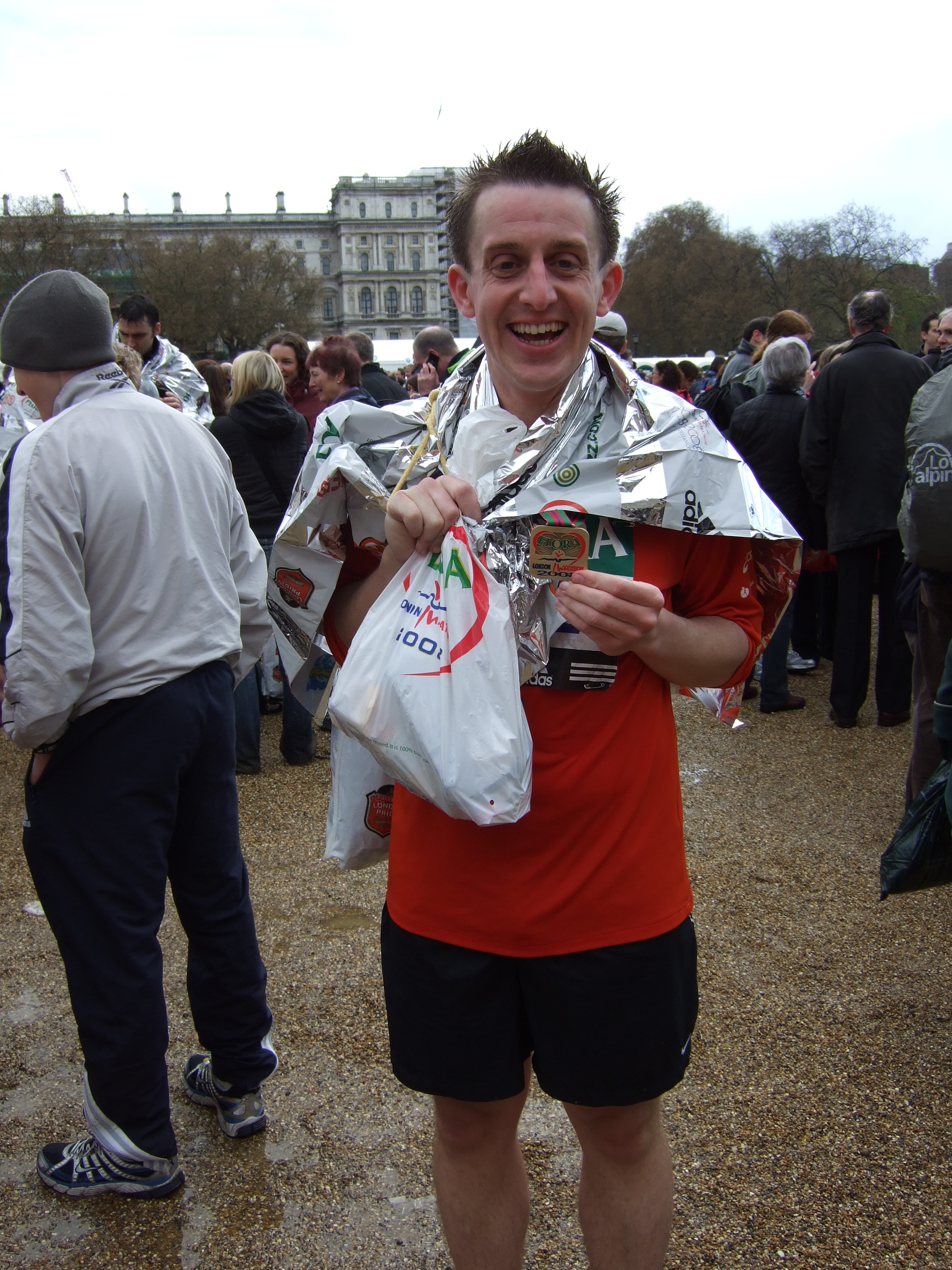
When: April 13th 2008
Where: London UK
Course: All-road from Blackheath, Greenwich to The Mall via Docklands.
Start: Greenwich Park, London, SE10 8QY
Finish: The Mall, London, SW1A 1AA
Distance: 42.2 km (26.2 miles)
Elevation change: + 156 / - 194m. net -38m
Other Routes Touched (walk): Greenwich Meridian Trail, Green Chain Walk, Explore Charlton Trail, Capital Ring, Jubilee Greenway, Thames Path, Lea Valley Walk, Jubilee Walkway
Other Routes Touched (cycle): NCN 1, 13, 4, 425, / CS 3
Finish time: 4:27
Links: London Marathon, Blackheath, The Mall


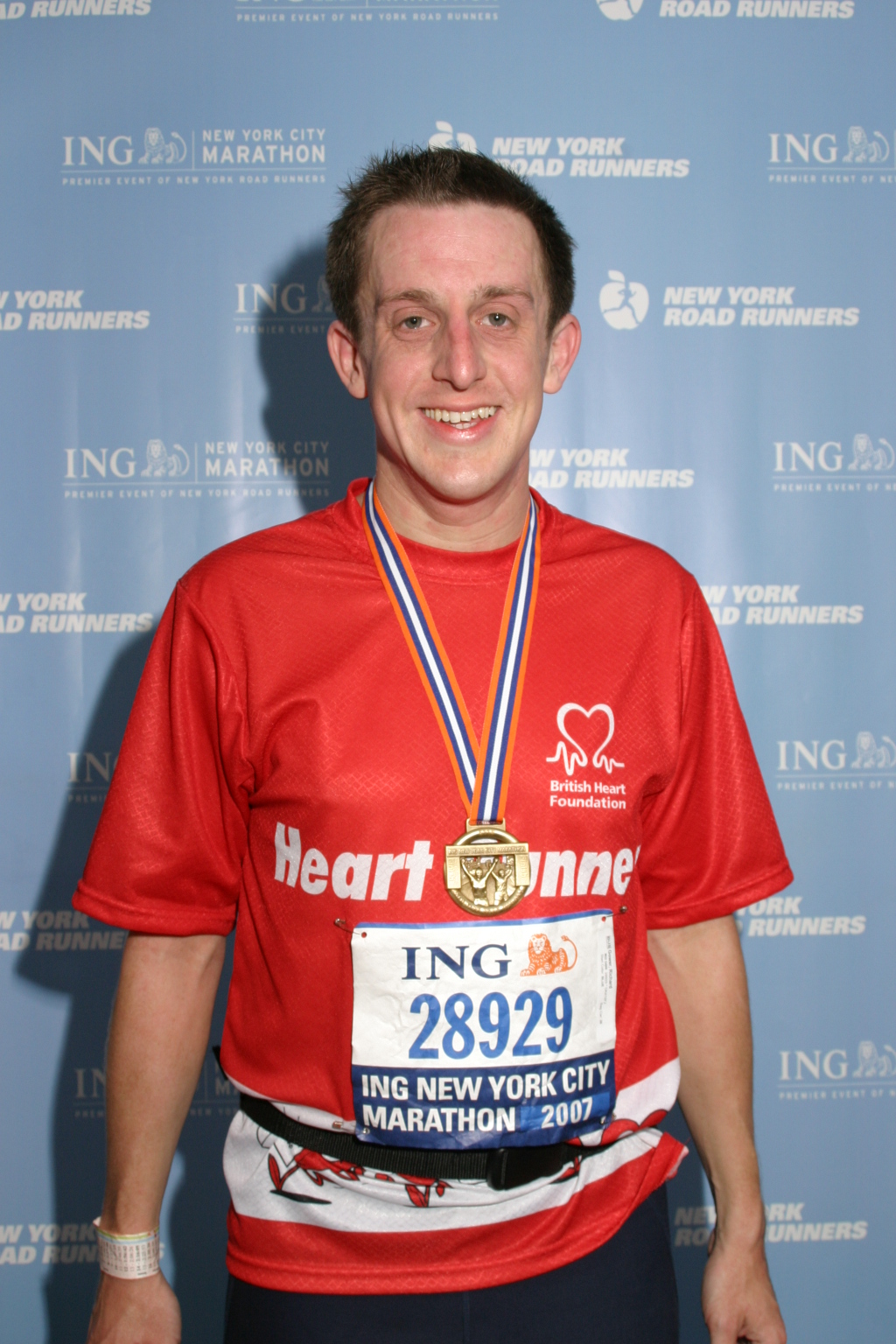
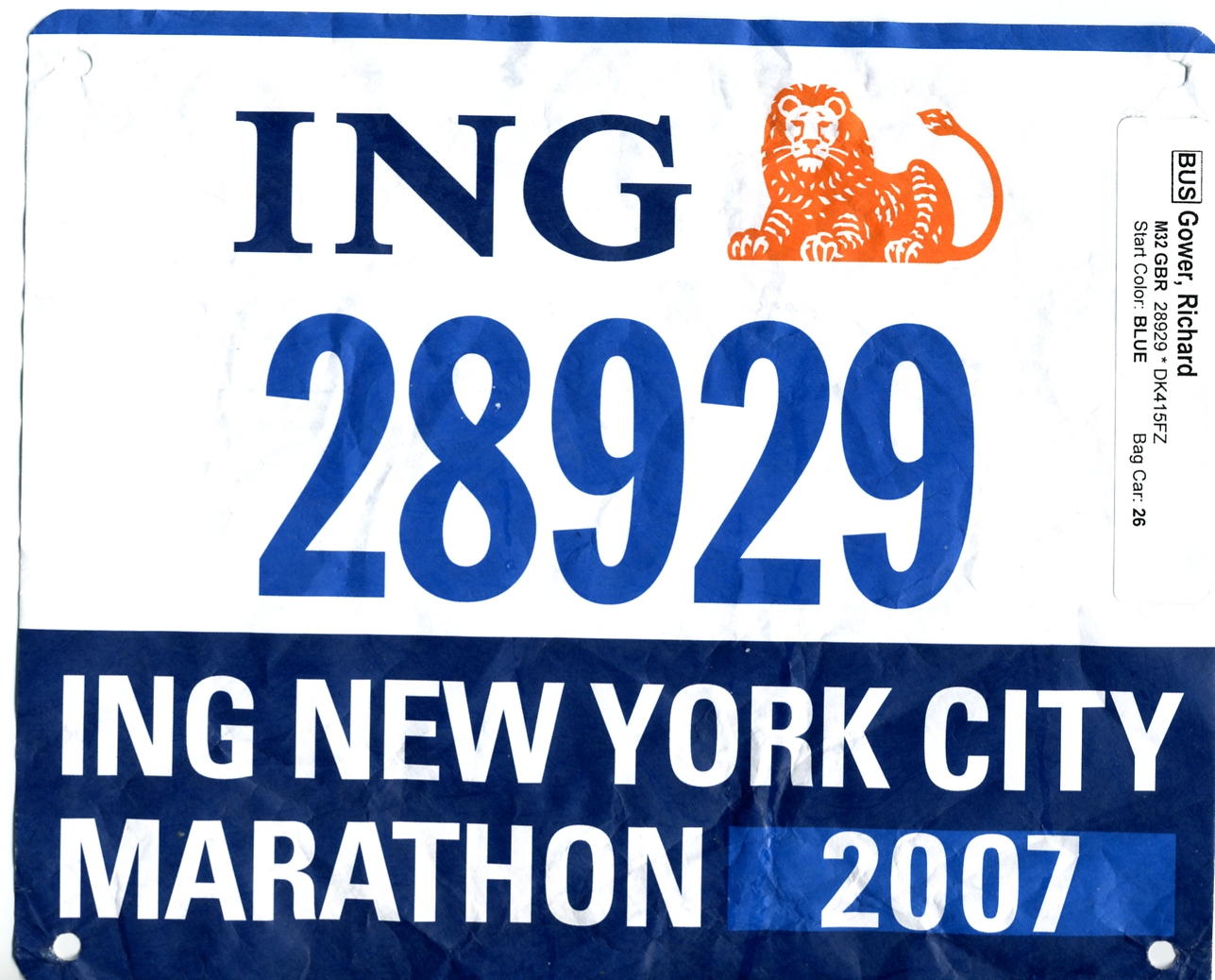
New York City Marathon

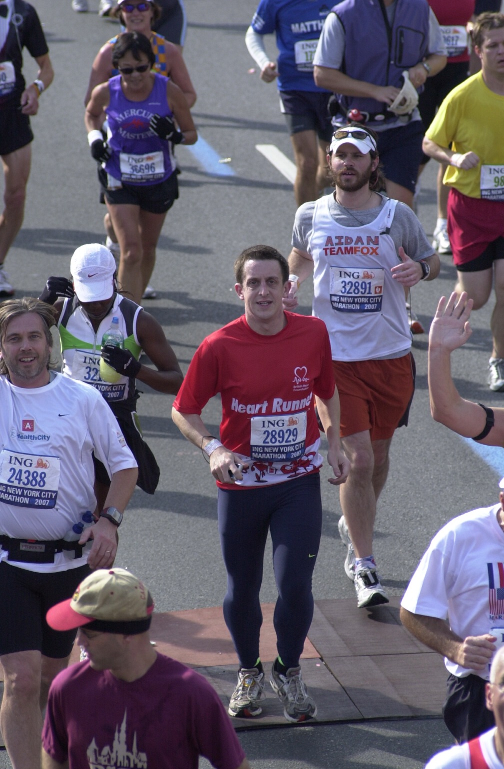
When: November 3rd 2007
Where: New York City, NY, USA
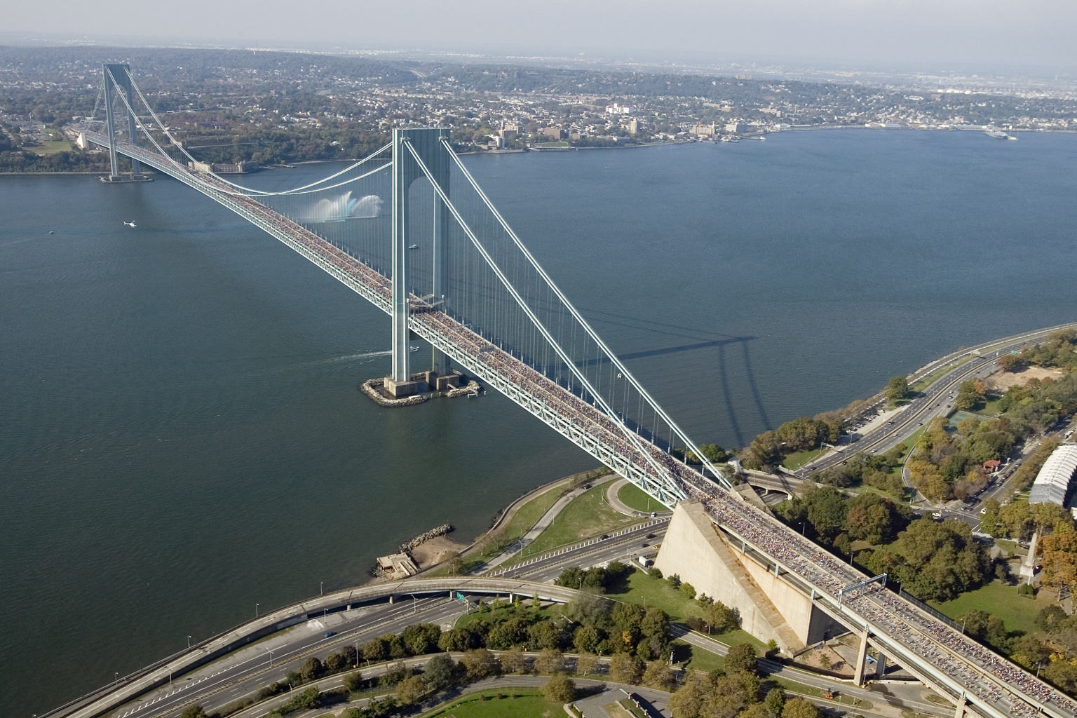
Course: All road across the NY 5 boroughs: Staten Island, Brooklyn, Queens, The Bronx and Manhattan, ending in Central Park
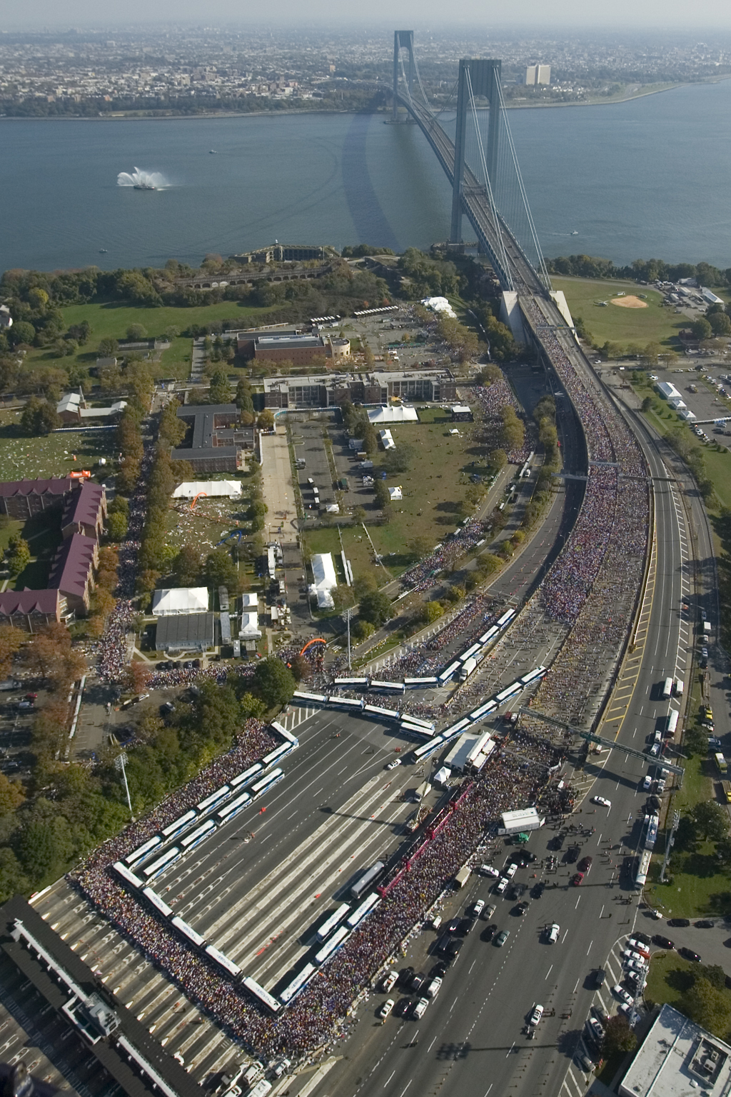
Start: Fort Wadsworth / Verrazano-Narrows Bridge, Staten Island, NY 10305
Finish: Dalehead Arch, Central Park, New York, NY 10023
Distance: 42.2 km (26.2 miles)
Elevation change
: + 164 / - 172m. net -12m
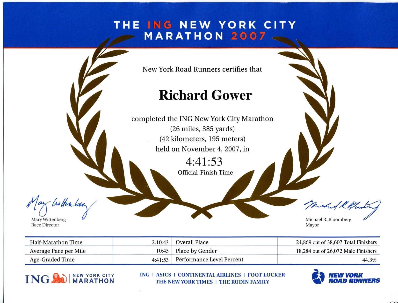
Finish time: 4:41
Links: New York City Marathon, New York City, Fort Wadsworth, Verrazano-Narrows Bridge, Staten Island, Brooklyn, Queens, The Bronx, Manhattan, Central Park


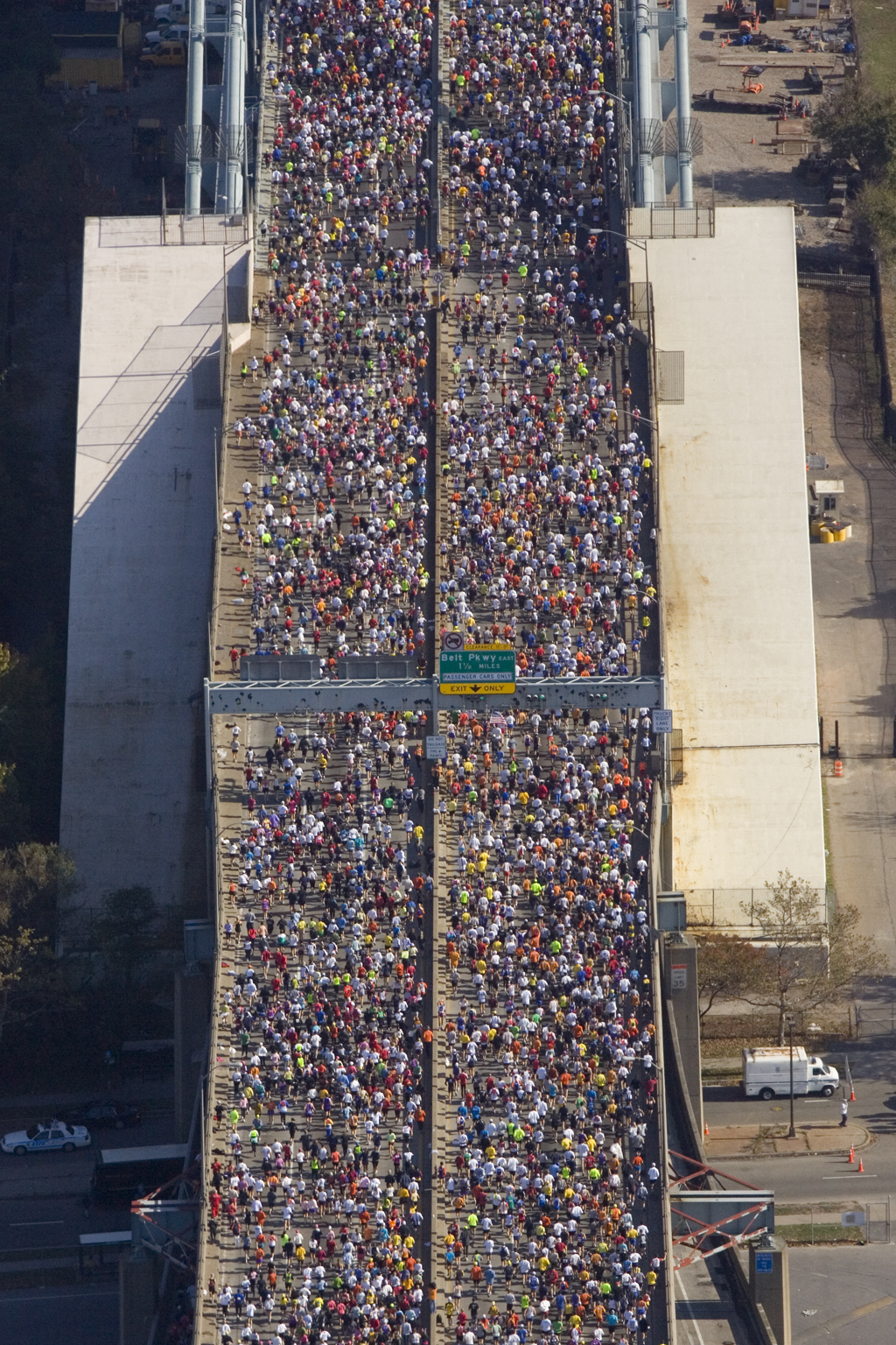
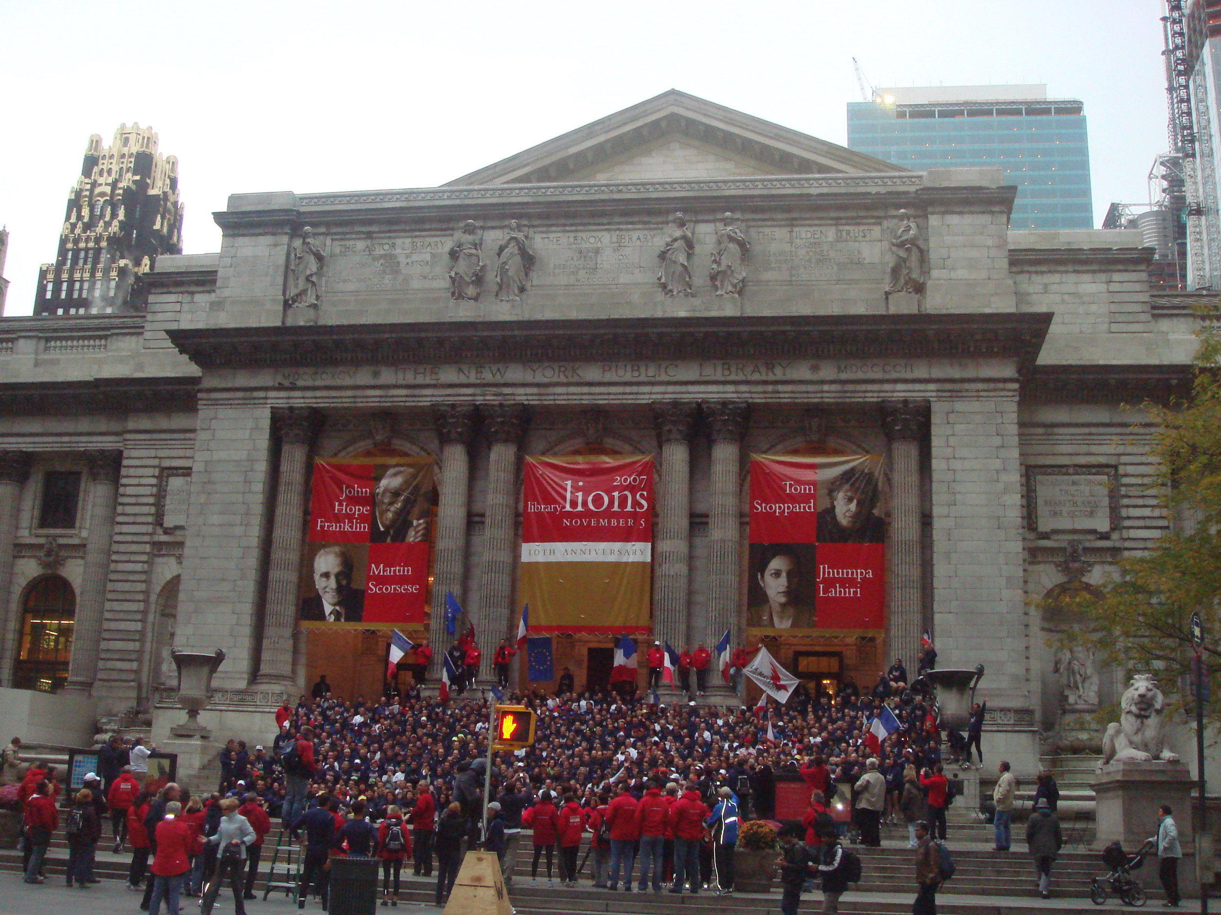
The day started with a 04:00 alarm call and a 05:00 bus trip from the New York Public Library to the runners’ village at Fort Hamilton at the start line. There we had a very cold 4 hour wait before the starting gun at 10:10. We were released in groups of 1,000 based on our predicted finish time, so it took a while for to get through the start. There were 28,000 people ahead of me, so I got through about 20 mins later.

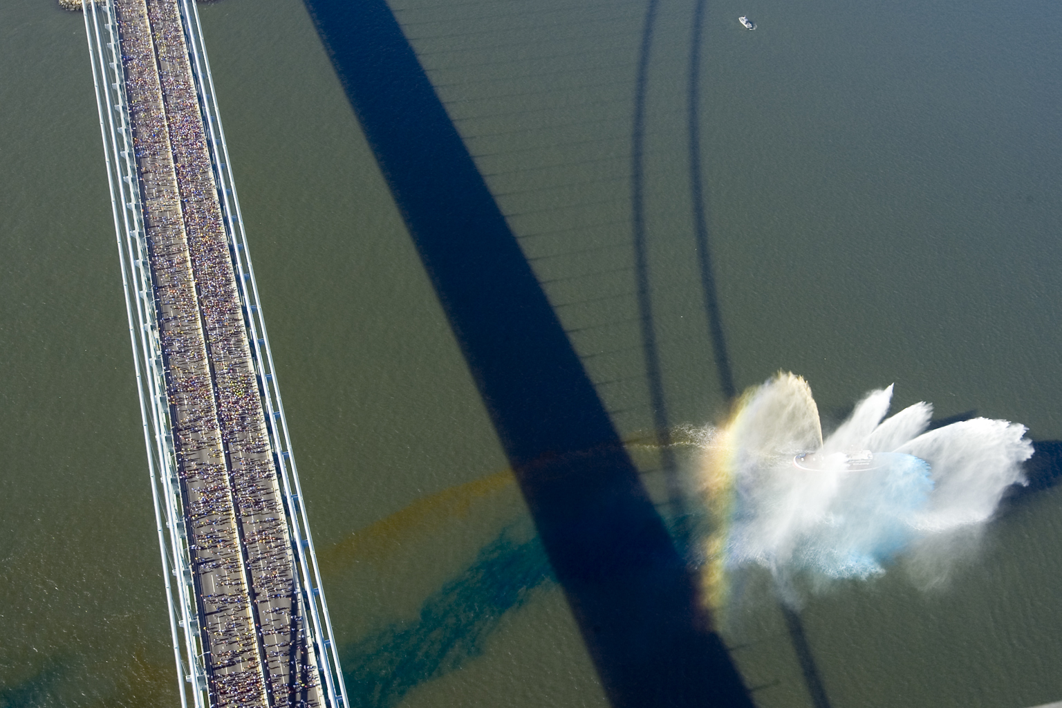
The first couple of miles were across the Verrazano-Narrows Bridge, between Staten Island and Brooklyn, with a long climb upwards for the first mile. That's normally not the best way to start a big run, but the excitement of the day and the views of New York Harbour towards downtown Manhattan made it a fun way to start.

Brooklyn (miles 2 to 13) was the most interesting and enjoyable part, with thousands of people cheering, bands playing and different communities to run through. The BHF running expert had warned us about getting too carried away with the excitement in the first 6 miles and to pace ourselves. This turned out to be great advice and the first half went by with no trouble at all.

I reached half way, between Brooklyn and Queens at 2 hours 10 mins, just after the winner had passed the finish line 13 miles away … Paula Radcliffe would finish 13 mins later.

After a short run through Queens, came the Queensboro Bridge, another long climb and descent, into Manhattan. The British Heart Foundation (BHF) cheering station was a great motivator as we started the long straight run up 1st Avenue towards the Bronx. I didn’t hit "The Wall" around mile 18, where a lot of people struggle, but it started to get slow as my legs just wouldn’t go as fast. I’d made sure that I’d got my eating and hydration right, which I think was the main reason The Wall didn’t come.

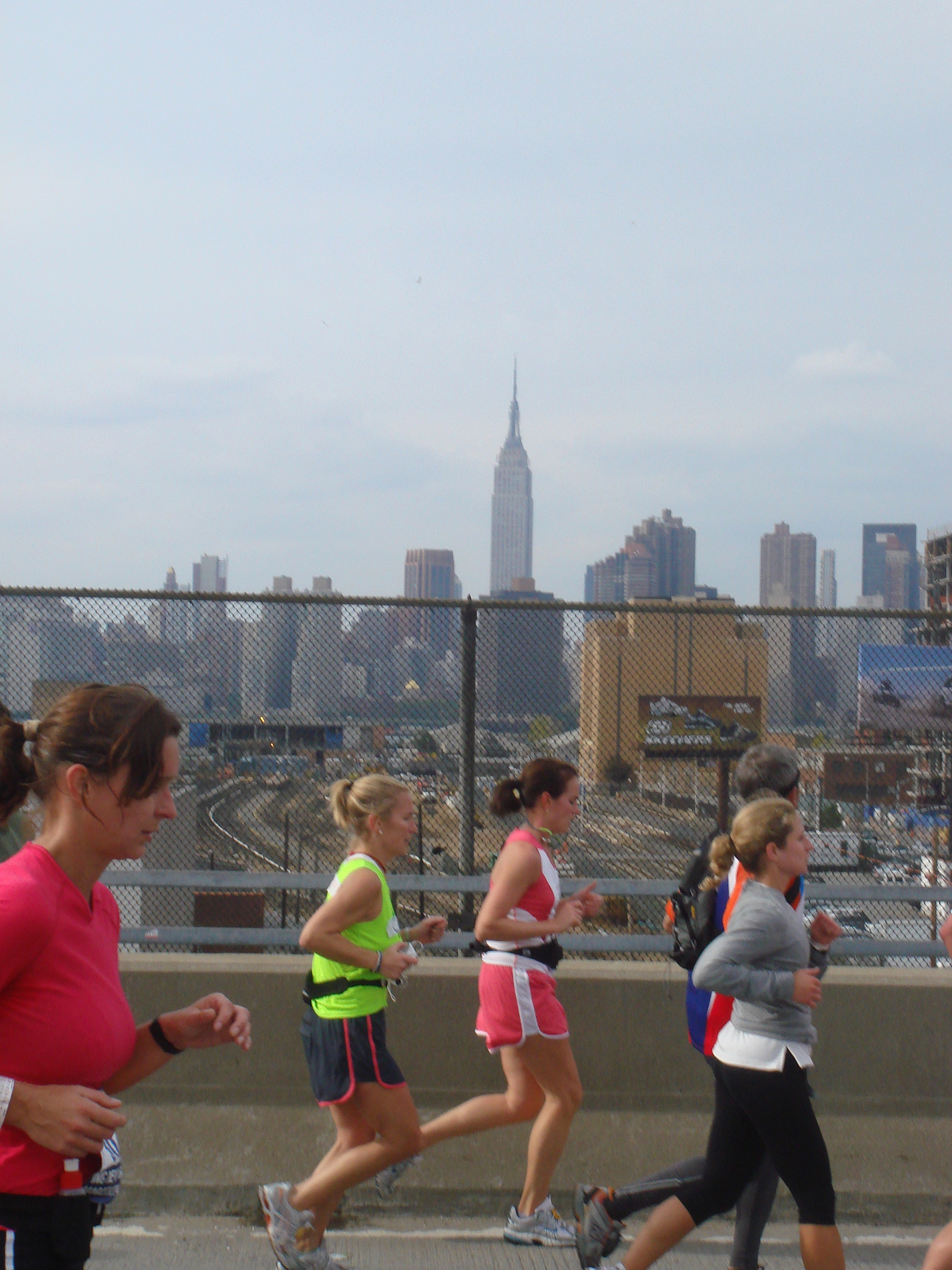
After 2 miles in The Bronx, we came back into Manhattan, down 5th Avenue towards the final 2 miles in Central Park. At this point I could see the Empire State Building, which was a lot further than the finish point and didn’t seem too far away.

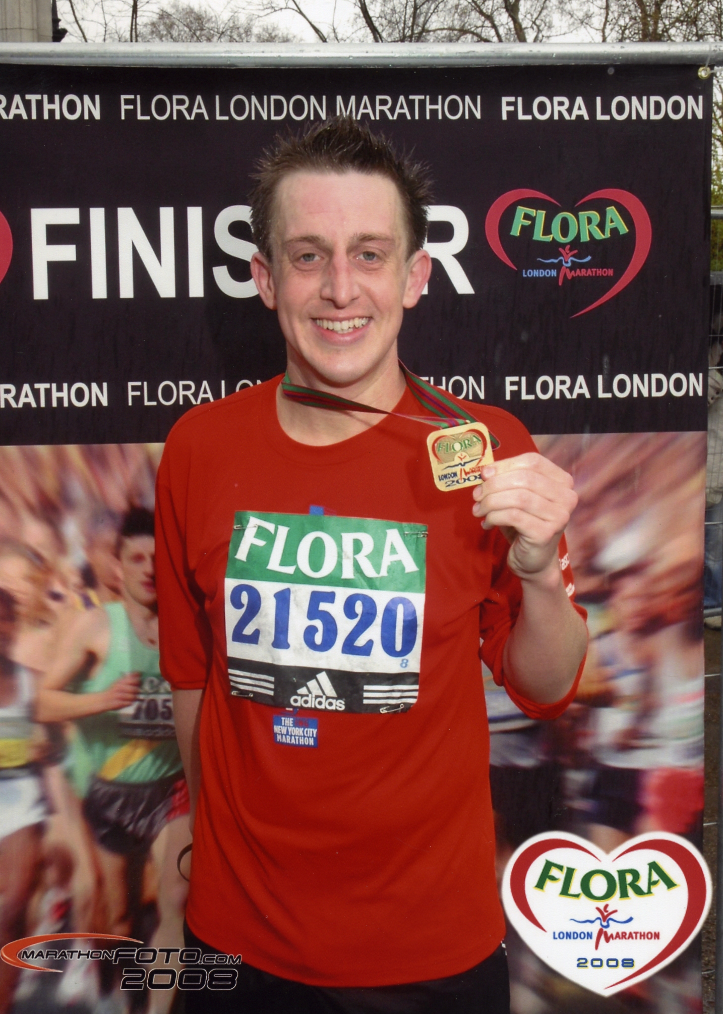
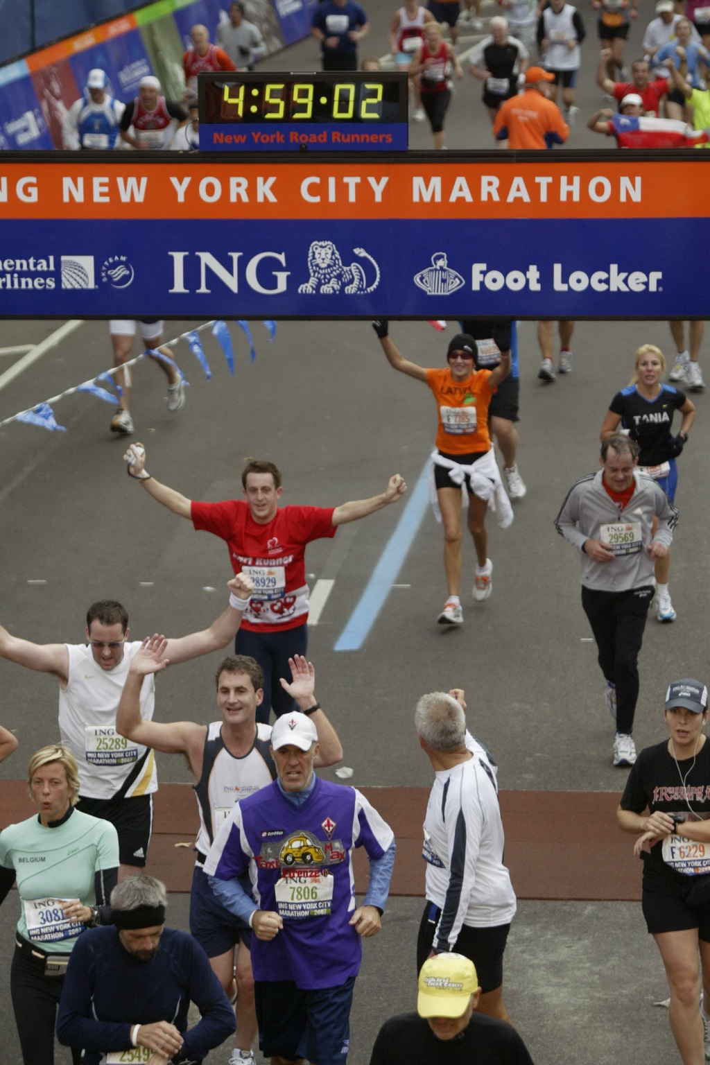
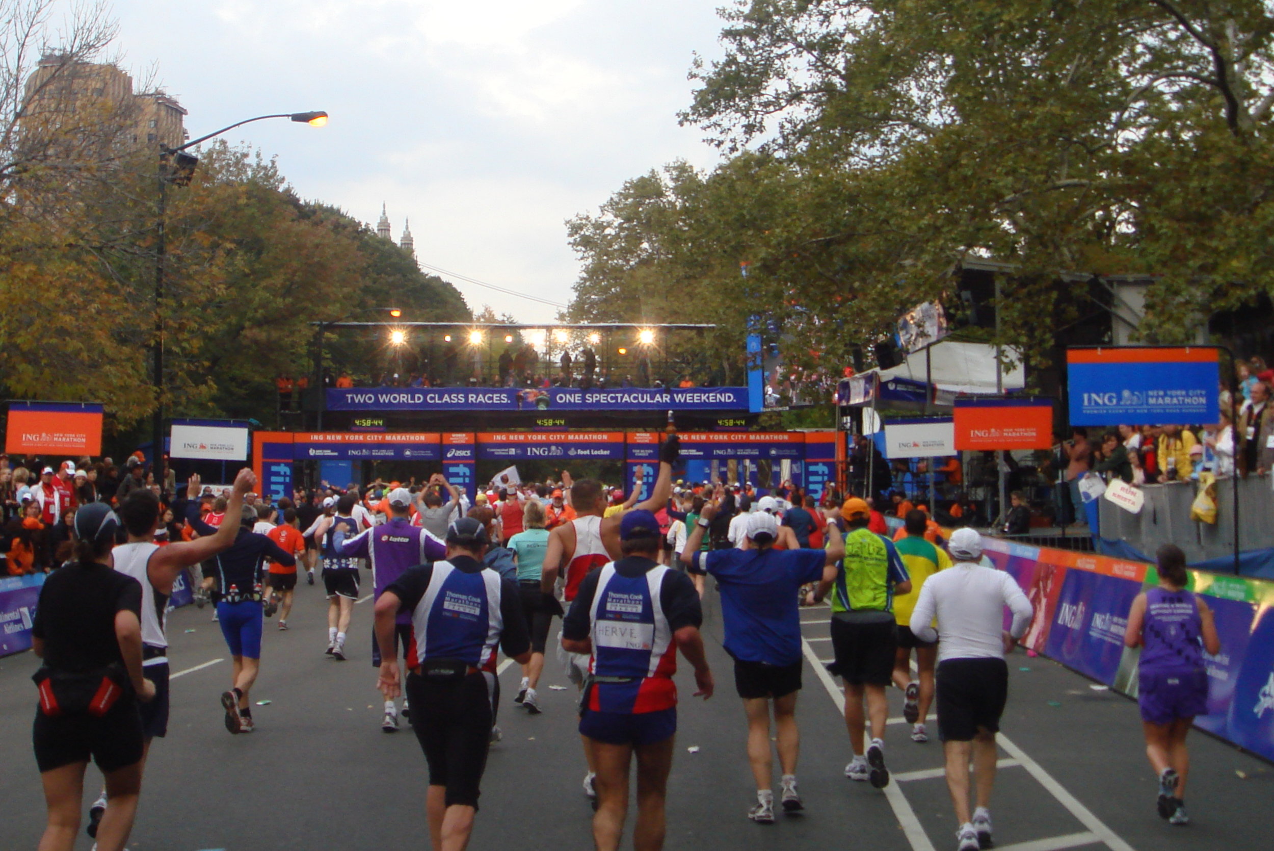
Finally Mile 26 came, and the last 400 metres to the finish line. I could see the clock at the finish at 4. Hours 58, and managed to find a bit more energy to finish with a clock time of 4 hours 59 mins and a chip time of 4 hours 41 mins.

In all, it wasn’t as tough as I expected, although the last 6 miles hurt a lot. It’s a fantastic place to do a first marathon with the different boroughs, communities and excited crowds. I’ll definitely do others, and am already signed up for London next April. I’d like to do one in less than 4 hours … probably not in London, but maybe for my third !.

This has been my 4th year of raising money for the BHF. Initially I signed up with them to do the London To Brighton bike ride, not giving a lot of thought to the charity side. Having done several adventures with them, including 3 London To Paris bike rides I've become more aware and appreciative of the great work that they do in helping reduce Heart Disease. I've got quite addicted to the events as they are great ways to keep fit and top social events too.

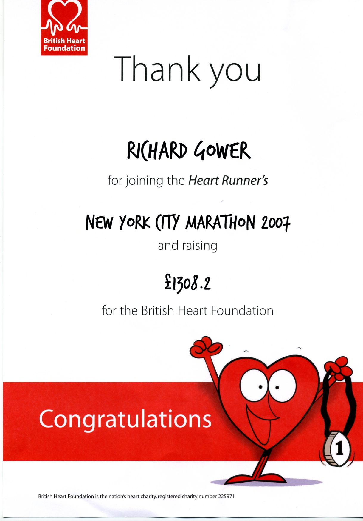
Many thanks to all of you who sponsored me this year. Thanks to you, my total sponsorship for the BHF is £1,500. In total, the BHF expects to raise over £100,000 from the NYC Marathon.


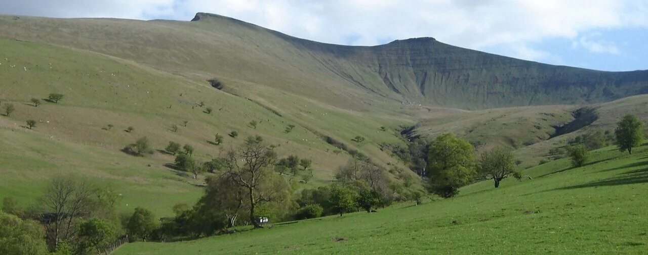
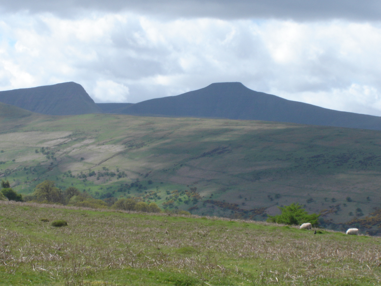
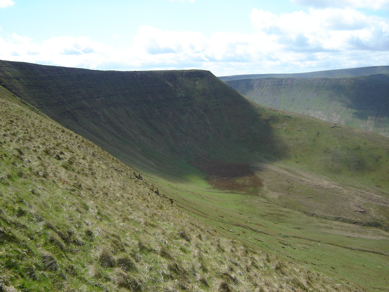
Pen y Fan: Brecknockshire County Top
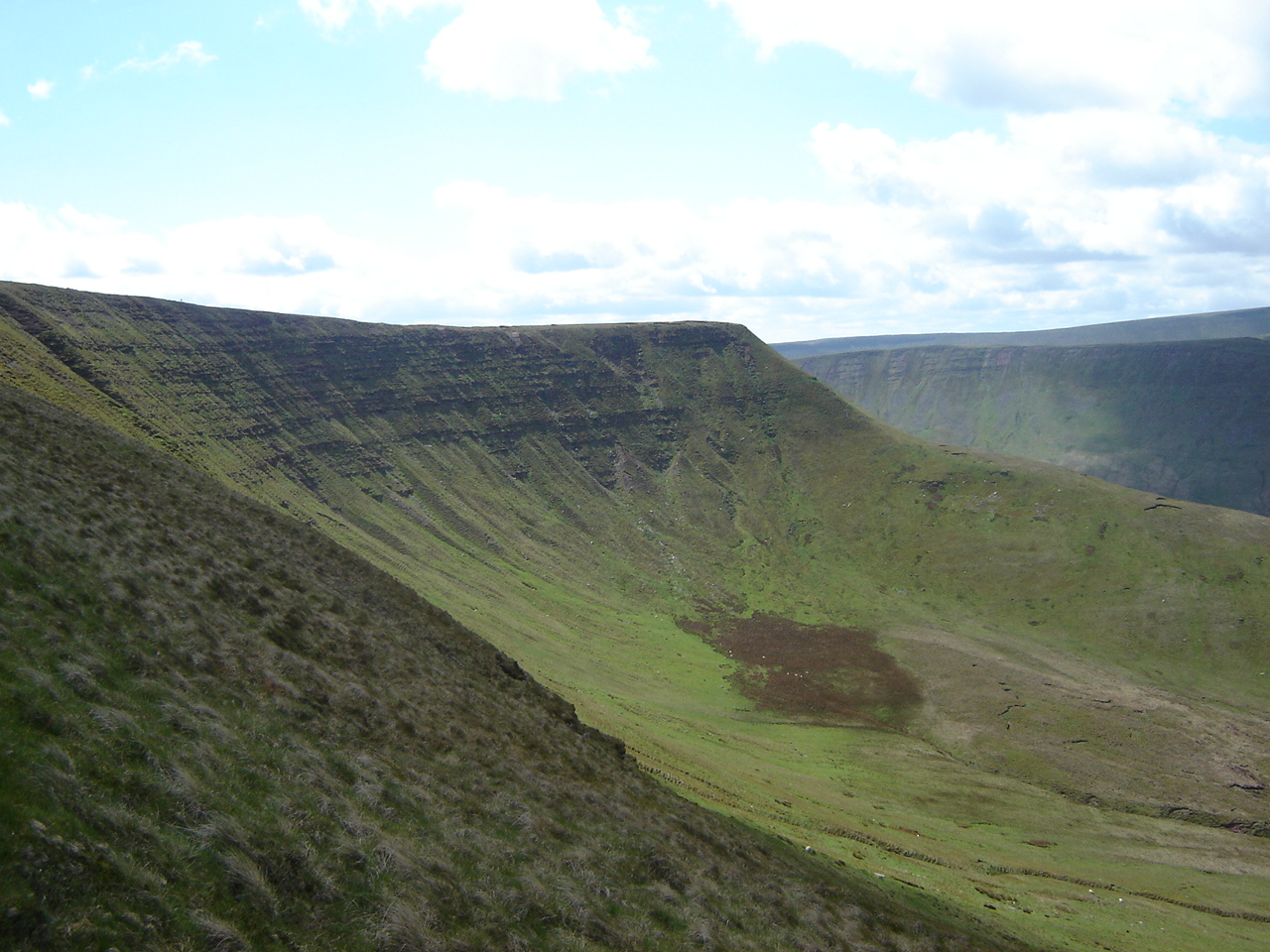
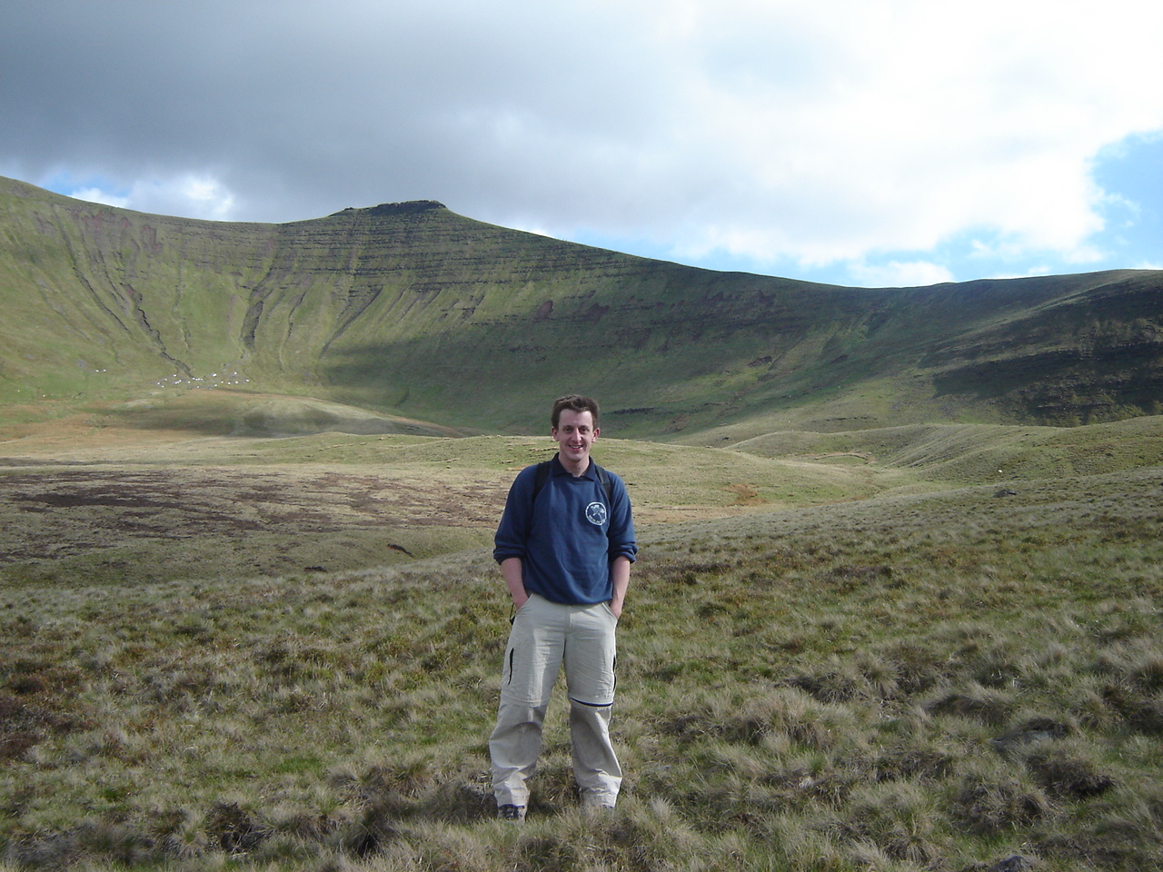
DSC00692.jpg

Significance: Highest peak in Brecknockshire (Historic CT), Powys (Preserved County and Principal Area), Brecon Beacons National Park High Point
Member of: Marilyn, Hewitt, Nuttall
Elevation: 886m
Date climbed: April 2005 and several others
Coordinates: 51.8840° N, 3.4364° W
Route Start / End: Circular from Cwn Gwdi car park, Unnamed Road, 8LE, Brecon
Route Distance: 23.6 km (14.6 miles)
Route Elevation Change: +/- 929m
Subsidiary tops on route: Cribyn, Fan y Big, Craig Cwareli, Bwlch y Ddwyallt
GPX File: get via Buy Me a Coffee
Other routes touched (walk): Beacons Way, Taff Trail
Other routes touched (cycle): NCN 8
OS Trig Pillar: TP1610 - Brecon Beacons
Map: OS Explorer OL12 Brecon Beacons National Park - Western & Central Areas
Guidebook: The UK's County Tops (Jonny Muir)
Links: Wikipedia (Brecknockshire), Wikipedia (Pen y Fan), Peakbagger, Hillbagging


In the years before I got married the Pen y Fan, Cribyn and Fan y Big circuit was my Girlfriend Test. If it was looking serious I would "take them up the Brecons" to see if they survived. If they liked it, it was a good sign.

I did The Test on my wife, then girlfriend, in 2002. She passed it, although didn't quite make it all the way back to the car park. I remember her sitting down on a rock 100 metres from the car park and refusing to move. I went ahead and to get the car to pick her up on the way back to Brecon.

Looking back on it, that was quite an ambitious test for a non-walker. Timi is a big trekker now, but not so much back then. I had probably killed her enthusiasm for walking for 10 years until we got into a rhythm of shorter walks.

The route described here is a longer version of the circuit than I used to do for the Girlfriend Test. This was one that I did with a mate a few years later. For the shorter versions of this route, descend on the north-easterly paths from either the summit of Cribyn or Fan y Big and connect back to the east-west road to the Cwn Gwdi car park.


Sněžka: Czech Republic High Point

Significance: Highest Point in the Czech Republic
Parent Peak:
Hoher Ifen, Germany/Austria NHN: Malý Kriváň, Slovakia
Elevation:
1,603m
Date climbed:
Summer 2021
Coordinates:
50° 44' 9'' N, 15° 44' 23'' E
Guidebook: Europe’s High Points (Cicerone)
Links:
Wikipedia (Czech Republic / Sněžka), Peakbagger

I bagged the high point of the Czech Republic sometime in the Summer of 2001 while I was living in Prague. Stangely I have no photos of the trip at all. This was a year before I bought my first digital camera but I had since scanned in every paper photo that I had taken. I have a lot of photos of my time in the Czech Republic, just not of this day. It’s strange as, although it was a while before I got into High-Point bagging, this would still have been a big day out.

My only memories were that I went with my Czech girlfiend (at the time), her brother and probably a couple of other Czech mates. The walk to the top was straightforward and we had an amusingly named drink called Pschitt! in the cafe at the top. I was also interested to see the mobile phone provided switch between Czech and Polish as we crossed over the border between the 2 countries at the top.

I know that the country is now called Czechia but I still can’t get used to it.


Broloppet - Øresund Bridge Half Marathon

When: June 12th 2000
Where: Copenhagen to Malmöover the Øresund Bridge
Course: From Copenhagen Airport on Amager island, over the Oresund Bridge to Malmö City Centre
Other routes touched: (Cycle routes) Skånespåret, Cykelspåret, Fjärilsleden,
Finish time: 2:17
Links: Broloppet (Wikipedia), Ed Debevec’s Blog Post


This was my first and, I assumed at the time, my only Half Marathon. I’d been living in Malmö, a small and uninspiring city in the South of Sweden. I was working out of my company’s office there as a base for travelling around the Nordics region. Most weeks I took a choppy 45-minute boat trip to Copenhagen to get to our larger office and the airport.

The Øresund Bridge that now connects Sweden to Denmark was being built at the time. In June 200, just before the official opening, they staged a Half Marathon across the bridge from Copenhagen to Malmö. At the time it was the largest organised running event ever and it caused much excitement in the region. Although not being a runner, I was keen to keep myself entertained and to fit in with the locals. My Swedish colleagues were nice enough but I never really felt like I fitted in. So, when much of the office decided to do the race, I signed up straight away.

Malmo 1999 - 2000-52.jpg

On the morning of the run I took an early bus from Malmö town Centre to the start line at Copenhagen airport. My main memory was of about a hundred male runners lined up against the sea wall for a pre-race piss. They were also on the approach path of incoming planes, giving the pilots quite a eyeful as they came into land.

The first 4k of the route was in a tunnel leading under the strait. My start position was quite a way back in the crowd and the tunnel already had a strong aroma of BO. The tunnel emerged onto Peberholm, a man made island built to split the car and train traffic onto the upper and lower decks of the bridge. From here the route climbed steadily up to the high middle section over the main shipping lane into the Baltic.

The apex of the bridge was somewhat surreal. We were on top of the sea with land several miles in either direction. Literally the high point of the race. From here it was an equally steady decent to the Swedish coast followed by the final 3 miles into the centre of Malmö.

I was elated to have finished the race. Unlike today I didn’t have another 5 races already planned and it would be another 6 years before I gave running another go. By the time I’d signed up for my 2nd Half Marathon, the Broloppet had ended, reopening just once more in 2010 for the 10 year anniversary.


Cycling The Thames Path

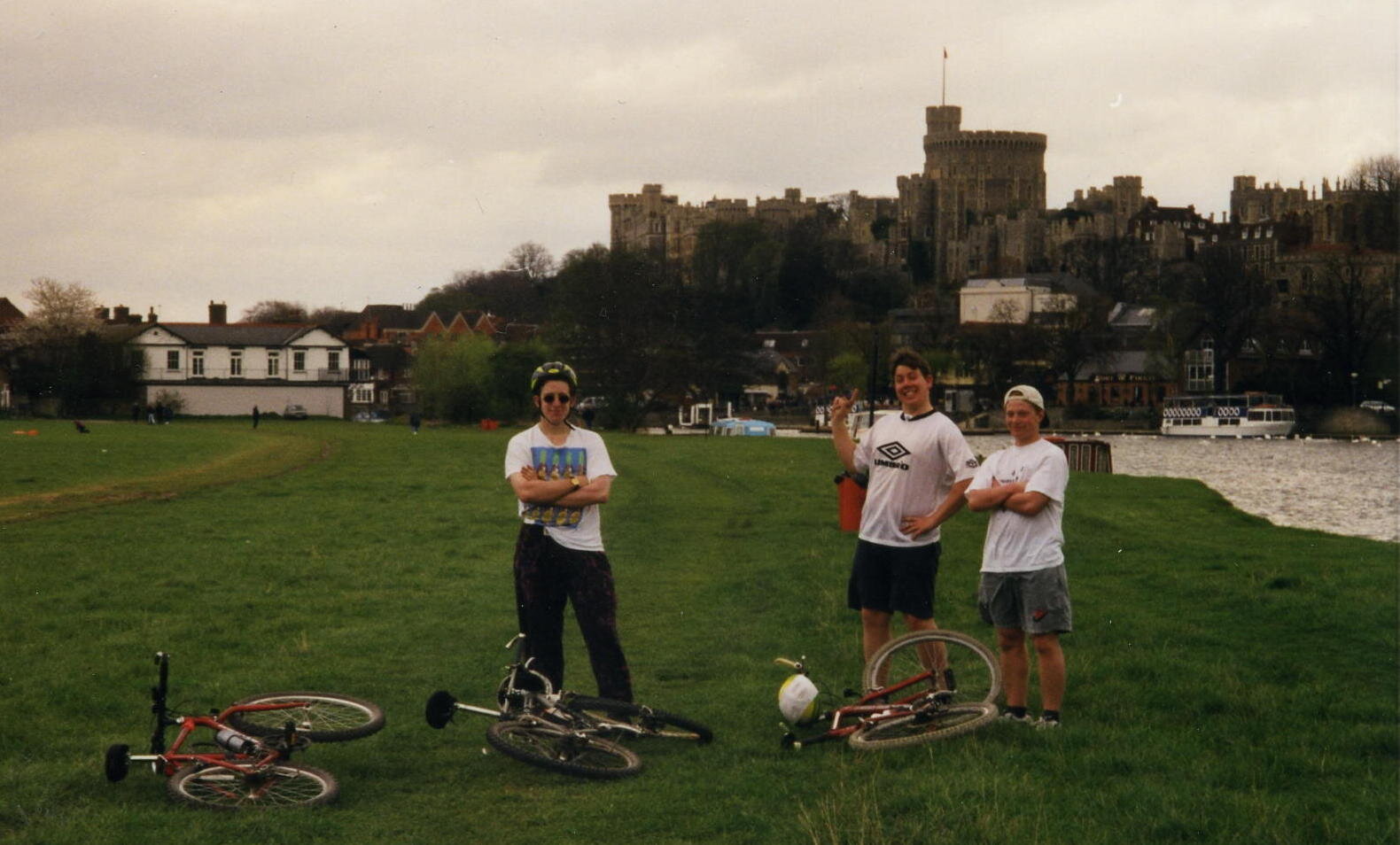
Windsor


The most important thing to say about cycling the Thames Path is “don’t cycle the Thames Path”. This was one of my first long distance cycle rides and, back in 1997, I didn’t put a lot of thought into it. Nowadays I put a lot of planning into trips to make sure that I use cycle-friendly paths. These were the pre-internet, pre-GPX days. Back then we just got a lift to the source and started cycling. If I was to do the Thames Path now I definitely wouldn’t cycle any of the first section to Oxford and I’d be choosy about parts of the middle section too.

Don’t just take my work for it though: from visitthames.co.uk: “Most of the Thames Path is a public footpath on which cyclists have no legal right to ride unless they have permission from the landowners - cycling without permission is a trespass offence against landowners. If you choose to cycle by the river, please be aware it is a potentially dangerous activity”.

The Thames Path is a magnificent National Trail and I highly recommend giving it a go. The easiest advice is to Walk to Maidenhead then cycle the rest. The reality is probably more nuanced though and I’m sure I’ll return to update the routes one day. In the meantime, here’s the sections as I did them in ‘97. Please use the comment box below if you have any more recent advice on cycling on the Thames path.


Part 1: Source To Oxford

Start: Thames Head Inn, Tetbury Rd, Cirencester GL7 6NZ (alternative = Kemble Railway Station)
Finish:
Oxford YHA, 2A Botley Rd, Oxford OX2 0AB
Distance: 86 km (53 miles)
Elevation change: +96m / - 254 m / Net -158m
GPX File: get via Buy Me a Coffee
Other Routes Touched (Walk): Thames Path, Wysis Way, Oxford Green Belt Way, Shakespeare’s Way
Other Routes Touched (Cycle): NCN 45
OS Map(s):
- OS Explorer 168 Stroud, Tetbury & Malmesbury
- OS Explorer 169 Cirencester & Swindon
- OS Explorer 170 Abingdon, Wantage & Vale of White Horse
- OS Explorer 180 Oxford, Witney & Woodstock 

elevation_profile - Thames Path 1.jpg

Part 2: Oxford To Hurley Lock

Start: Oxford YHA, 2A Botley Rd, Oxford OX2 0AB
Finish:
Hurley Lock, Mill Ln, Hurley, Maidenhead SL6 5ND
Distance: 57 miles / 91 km
Elevation change: +312m / - 339 m / Net -27m
GPX File: get via Buy Me a Coffee
Other Routes Touched (Walk): Thames Path, Shakespeare’s Way, Oxford Green Belt Way, European Walk E2: UK South East England, The Ridgeway, The Chiltern Way Berkshire Loop
Other Routes Touched (Cycle): NCN 4, 5, Chilterns Cycleway
OS Map(s):
- OS Explorer 180 Oxford, Witney & Woodstock
- OS Explorer 170 Abingdon, Wantage & Vale of White Horse 
- OS Explorer Map 171 Chiltern Hills West, Henley-on-Thames and Wallingford
- OS Explorer Map (172) Chiltern Hills East

elevation_profile - Thames Path 2.jpg

Part 3: Hurley Lock to Thames Barrier

Start: Hurley Lock, Mill Ln, Hurley, Maidenhead SL6 5ND
Finish:
Thames Barrier, Eastmoor St, Greenwich Peninsula, London SE7 8LX
Distance: 72 miles / 116 km
Elevation change: +435m / - 463 m / Net -28m
GPX File: get via Buy Me a Coffee
Other Routes Touched (Walk): Thames Path, Shakespeare’s Way, The Chiltern Way Berkshire Loop, Maidenhead Boundary Walk, London Loop, Capital Ring, Jubilee Walkway, Jubilee Greenway
Other Routes Touched (Cycle): NCN 1, 4, 61
OS Map(s):
- OS Explorer Map (172) Chiltern Hills East
- OS Explorer Map (160) Windsor, Weybridge & Bracknell
- OS Explorer Map (161) London South, Westminster, Greenwich, Croydon, Esher & Twickenham
- OS Explorer Map (173) London North, The City, West End, Enfield, Ealing, Harrow & Watford

map - Thames Path 3.JPG

The complete route


Related Blog Posts:

Tryfan & The Glyderau: a night to remember

I often brought up "Best Day / Worst Day" as a conversation starter on nights out. With a bit of alcohol it could often be quite revealing about newly found friends. Prior to my wedding day my own Best Day would vary. My Worst Day was always the same: the night we called out Mountain Rescue on the Glyderau.

Although I'd recounted the story many times I've not written about it until now, nearly 30 years later. It was the evening that drilled into me a respect of both the mountains and the need to prepare for any eventuality.

It was March 1993 and I was part of a group of Venture Scouts and leaders on a mountain leadership course. It was a mix of learning about mountain skills, practical experience and an end of winter social event.

While spring is emerging in a lot for the country, March is still very much winter in Snowdonia. Even in the best of weather this is a place where treks need careful consideration. In winter you really need your wits about you. Detailed planning, appropriate clothing, backup food and escape routes are all essential precautions.

As with the previous 2 years that I'd joined the trip, our main walk was Tryfan and the Glyderau. It's a challenging 10k circular walk taking in 3 summits between 918 and 1001 metres. Each year the weather had closed in and we descended early using our escape routes.

This particular year I was leading a group of 6. As usual we parked at Idwall Cottage Youth Hostel at the western end of Llyn Ogwen. Unlike previous attempts we took a clockwise route taking in Tryfan first.

Tryfan is a beast. From a distance it looks like Godzilla and is scary enough to put off many inexperienced hikers. Assuming you're a good scrambler with head for heights, it's relatively straightforward. By contrast we found that climbing Glyder Fawr via the Devil's Kitchen on previous trips much trickier.

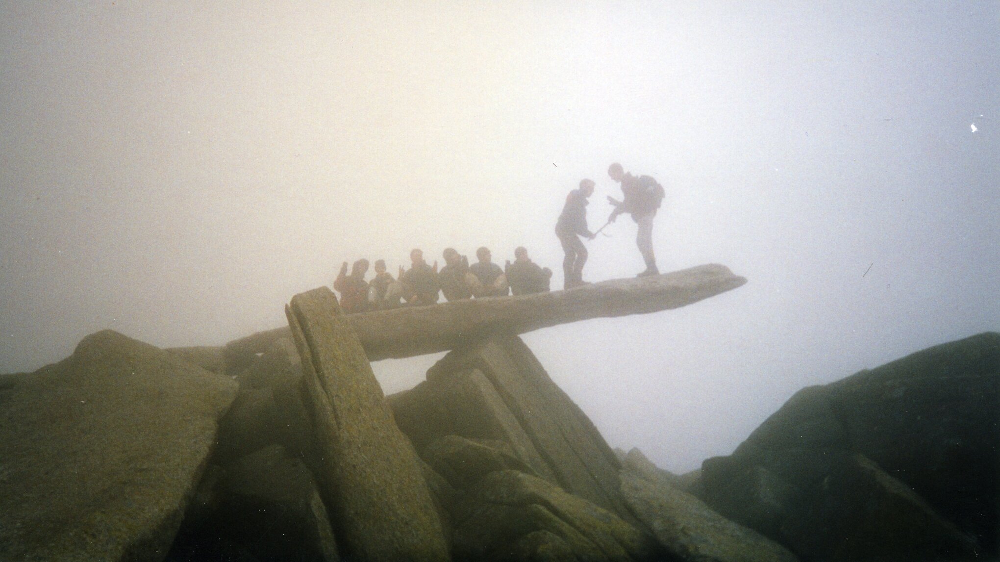
We got up an over Tryan without problems and started heading south toward Glyder Fach. Here we met another group from the same course who had approached from the east on a different route. From here were were on the same route up and over the Glyderau. The other group were friends of ours and we came together as a larger group. This was the main mistake as it led to one large group travelling more slowly than two smaller ones. One girl in the other group was also having knee issues, adding more time to the ascent.

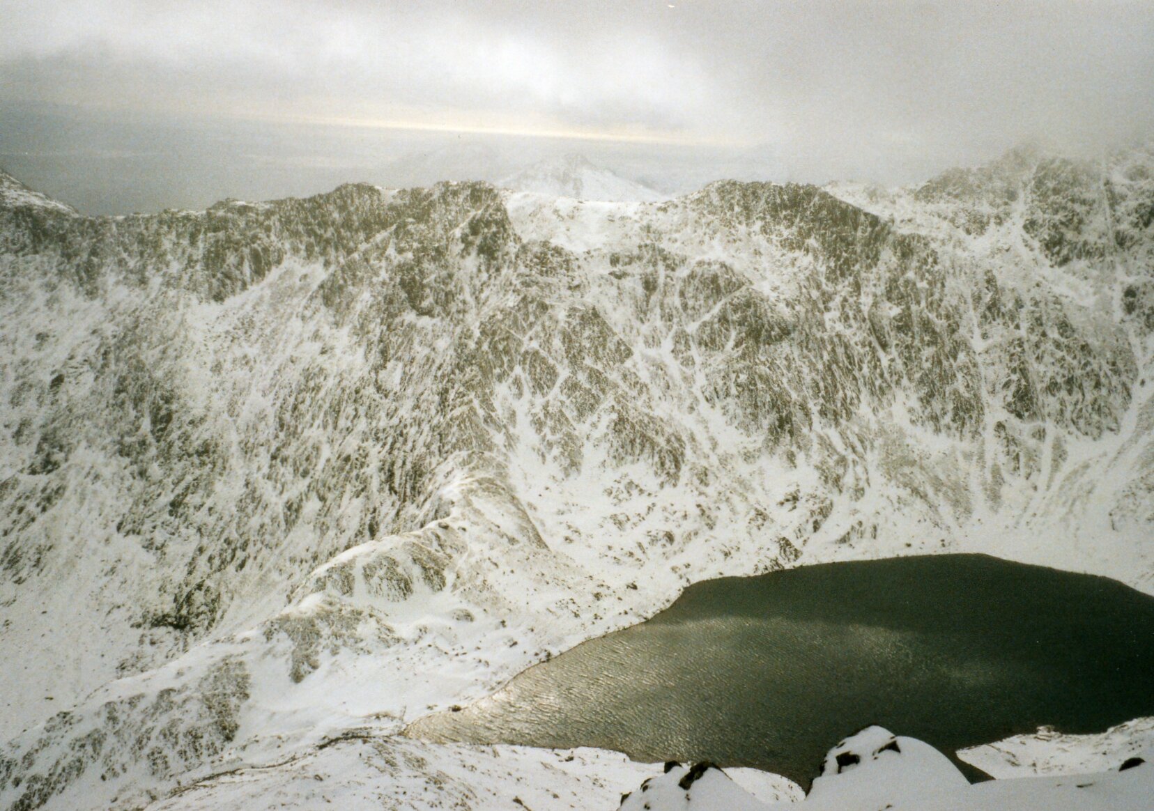
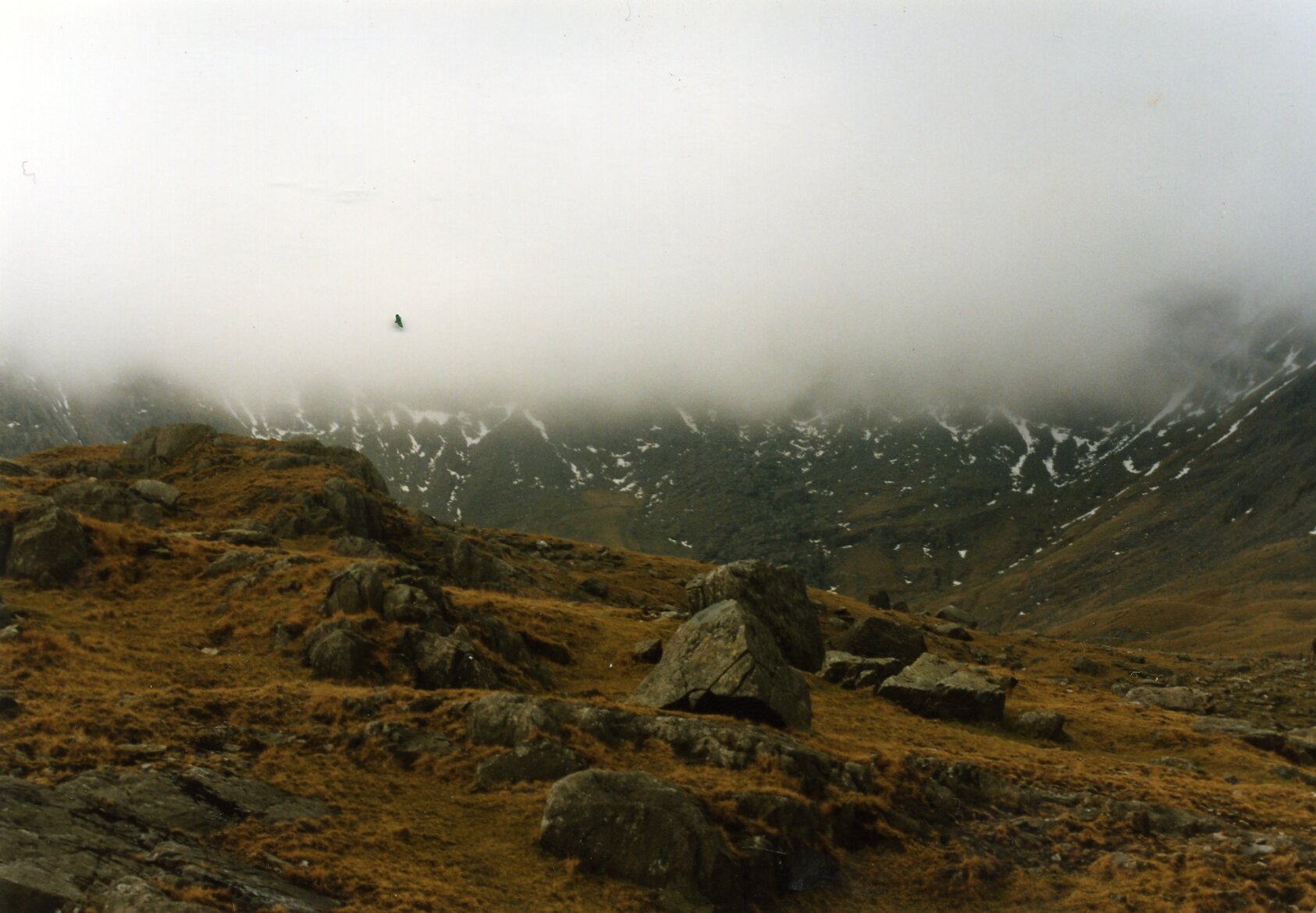
After submitting Glyder Fach the clouds came in. It was cold and we were clearly behind schedule. I made the decision to take the emergency route descending to the north from the next summit, Castell y Gwynt. The route was clear, but had several steep sections. The group stuck together, helping each other down. It was safe but slow.

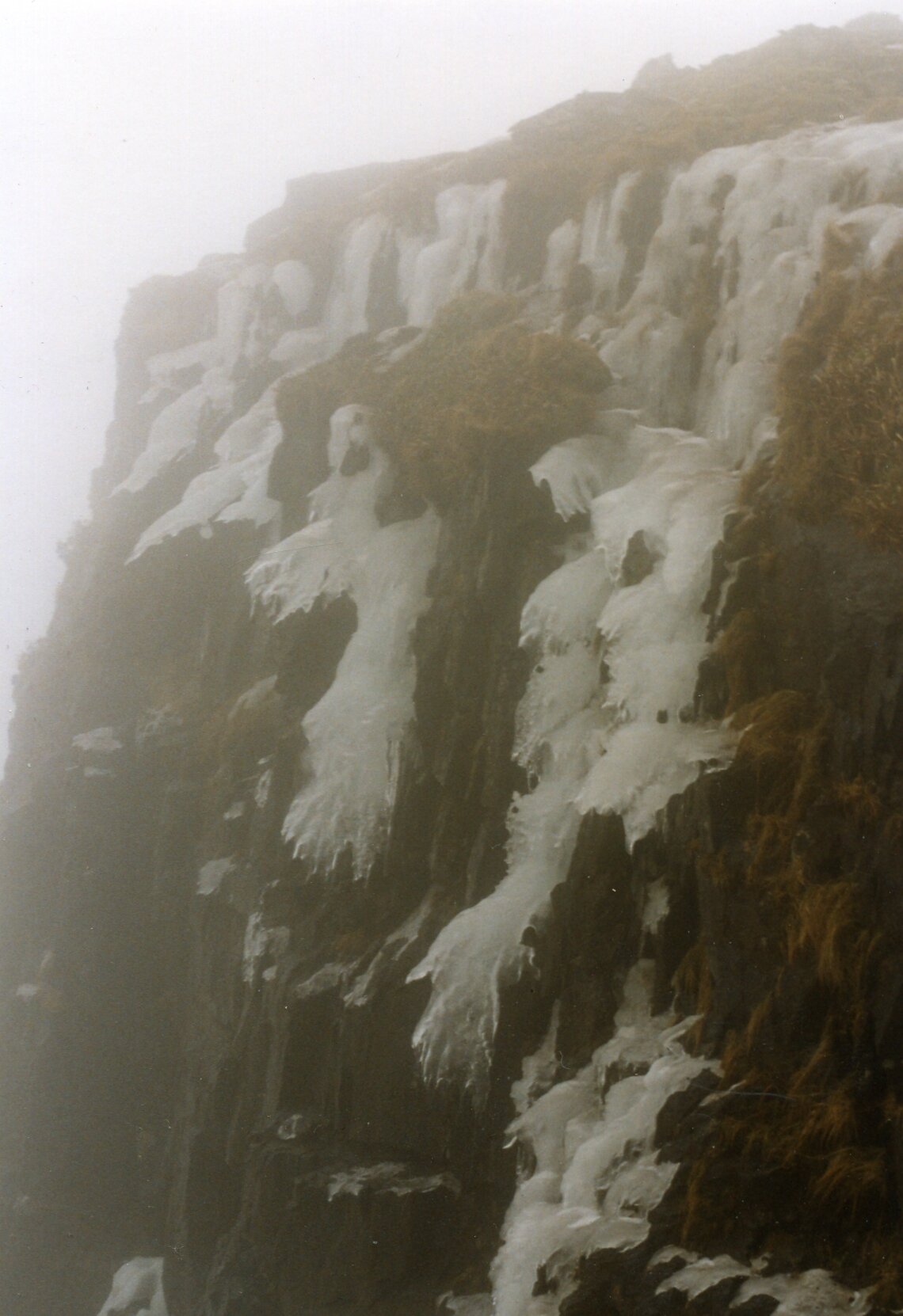
By 16:00 we were not far from the bottom of the mountain. What lay in the middle was a stream and a waterfall over a short but steep cliffs. It would have been doable earlier in the day, but light was quickly fading and it was clear that we were not going to get 14 of us down safely.

The plan was for two of us to make our way down the waterfall to the car park and call for help. The others would stay where they were with two of the oldest in the group in charge to keep them together. They had enough food and clothing so would have been fine as long as they didn't leave that spot.

Chris and I slowly made our way down the waterfall. The rocks were sharp and my trousers got snagged on a few, ripping a large hole in the back. Not far from the base of the falls we found the path that followed the east side of Llyn Idwal to the car park.

By now it was clear to the leaders at the base that we were long past our planned finish time. We met one of those leaders half way back along the lake path as he had come to find us. We took him back to the base of the waterfall to show him where we had come down. The group was not far up and we could clearly see their torch lights.

Chris and I were taken back to the bunkhouse to wait there until the others could be brought down. Meanwhile 17 members of Ogwen Mountain Rescue stopped whatever they were doing that evening and and headed to Llyn Idwal.

The 5 hours between us getting to the bunkhouse and the first of the others returning were nerve-racking. We were safe, but what about the others? They seemed safe enough where we left them but what if they moved and fell? What if something went wrong when they were being helped down? My mind played out the aftermath of a worst case scenario. This was what makes it easy for me to pick this as my Worst Day.

The others slowly came down and arrived at the bunkhouse from 02:00 in the morning. One girl had been screaming and was freaking out the others. They got her down and back first. The others came back by 03:30. Everyone was safe and relieved to be back in the warm.

Everyone went through their own process of closure. There was the inevitable inquest run the local Scout region. Some of us did some fund raising for Ogwen Mountain Rescue, this time on the significantly flatter Thames Path. Four of us had a need to complete the route, although doing it in winter wasn't a criteria. We returned in the summer on a clear dry day and finished the full 10k circuit without a hitch.

The main legacy for me is in my approach to the mountains. I've done a walking leadership course at Plas-y-Brenin, got better equipment, maps and GPS devices. I only go in smaller groups and in summer conditions. I save the more challenging routes for times when I'm part of a group that's being lead by a qualified guide. Maybe it was my Worst Day, but for the lessons that lead to all the safe treks that I've enjoyed since then, it could be one of the best.

Tryfan

Member of: Marilyn Hewitt, Welsh 3000, Nuttall, Furth
Parent Peak: Glyder Fawr
Elevation: 917m
Coordinates: 53° 6' 54'' N, 3° 59' 51'' W
Links: Wikipedia / Peakbagger / Hillbagging / National Trust


Glyder Fawr

Member of: Marilyn, Hewitt, Welsh 3000s, Nuttall, Furth
Parent Peak: Snowdon
Elevation: 1001m
Coordinates: 53° 6' 5'' N, 4° 1' 45'' W
Links: Wikipedia / Peakbagger / Hillbagging

Glyder Fach

Member of: Hewitt, Welsh 3000s, Nuttall, Furth
Parent Peak: Glyder Fawr
Elevation: 994m
Coordinates: 53° 6' 17'' N, 4° 0' 30'' W
Links: Wikipedia / Peakbagger / Hillbagging


The Route - all peaks

Route Start / End: Ogwen Car Park, Bethesda, Bangor, LL57 3LZ
Route Distance: 9.8km (6 miles)
Route Elevation Change: +/- 857m
Subsidiary tops on route: Castell y Gwynt (972m)
GPX File: get via Buy Me a Coffee
Other routes touched: Welsh 3000s, Snowdonia Slate Trail


route-37149331-map-full  - Tryfan Glyderau.png
elevation_profile - Tryfan Glyderau.jpg