The South West England County Tops

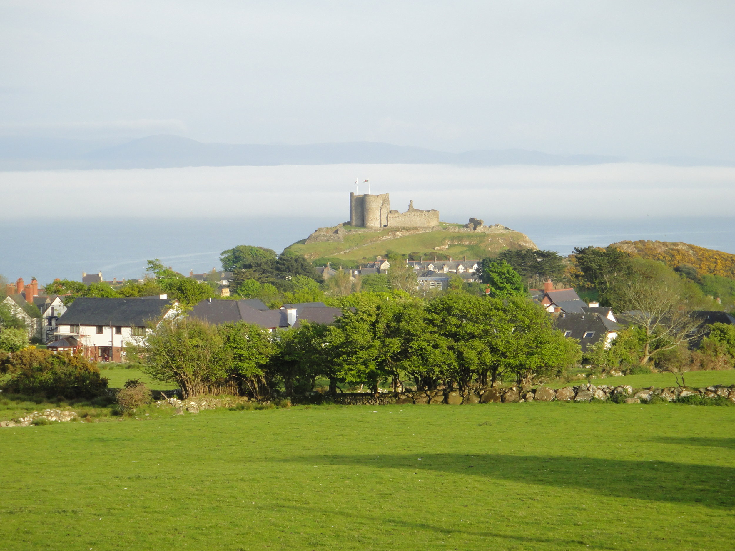
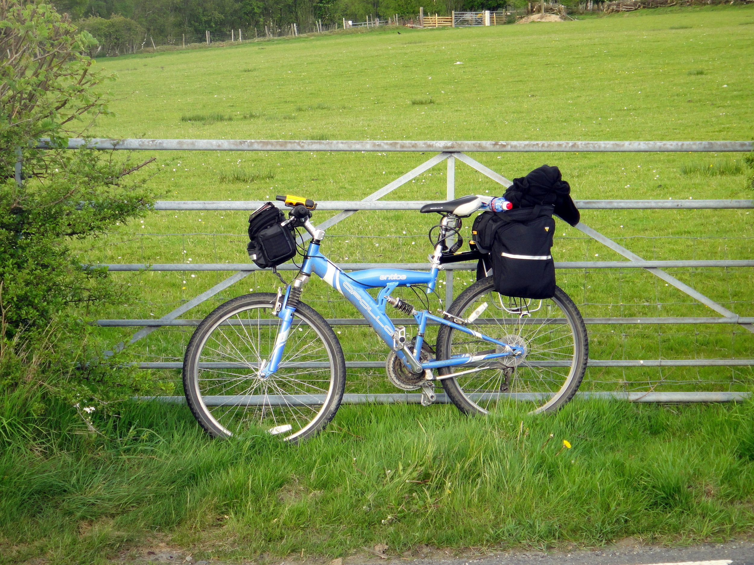
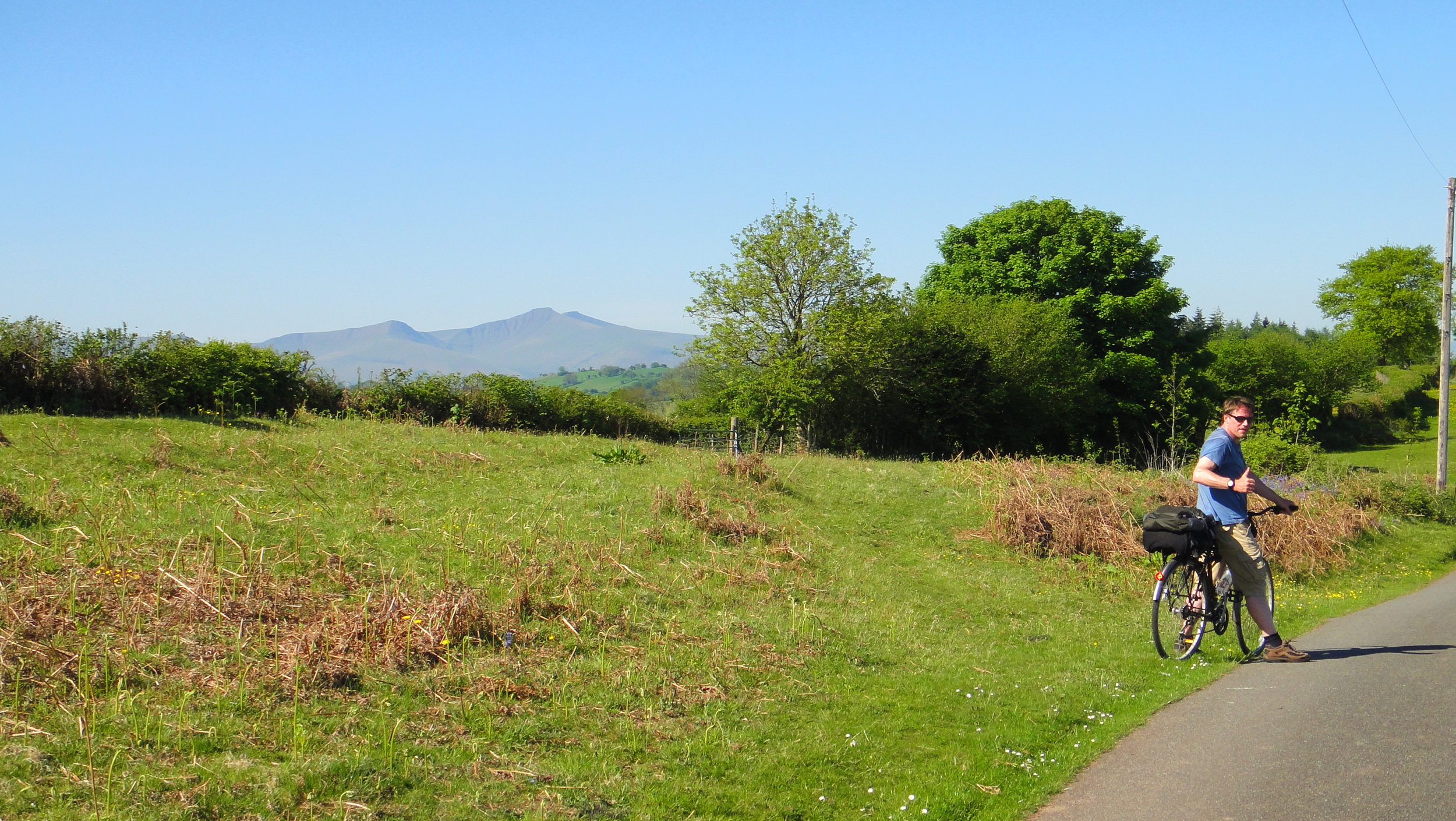
Dunkey Beacon, Somerset County Top


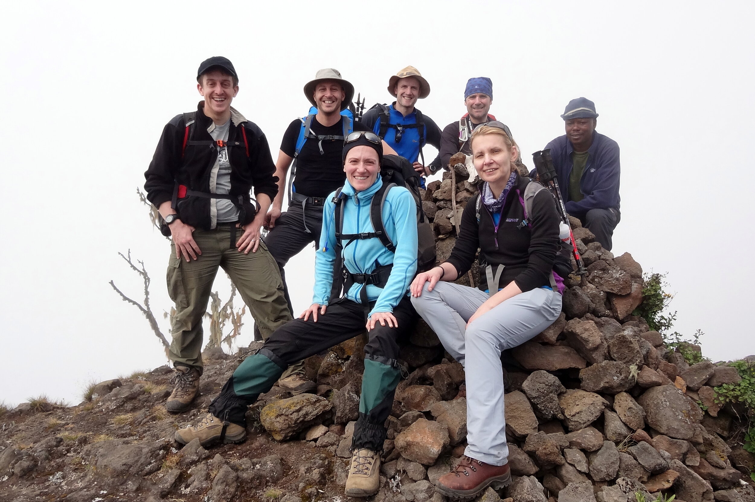
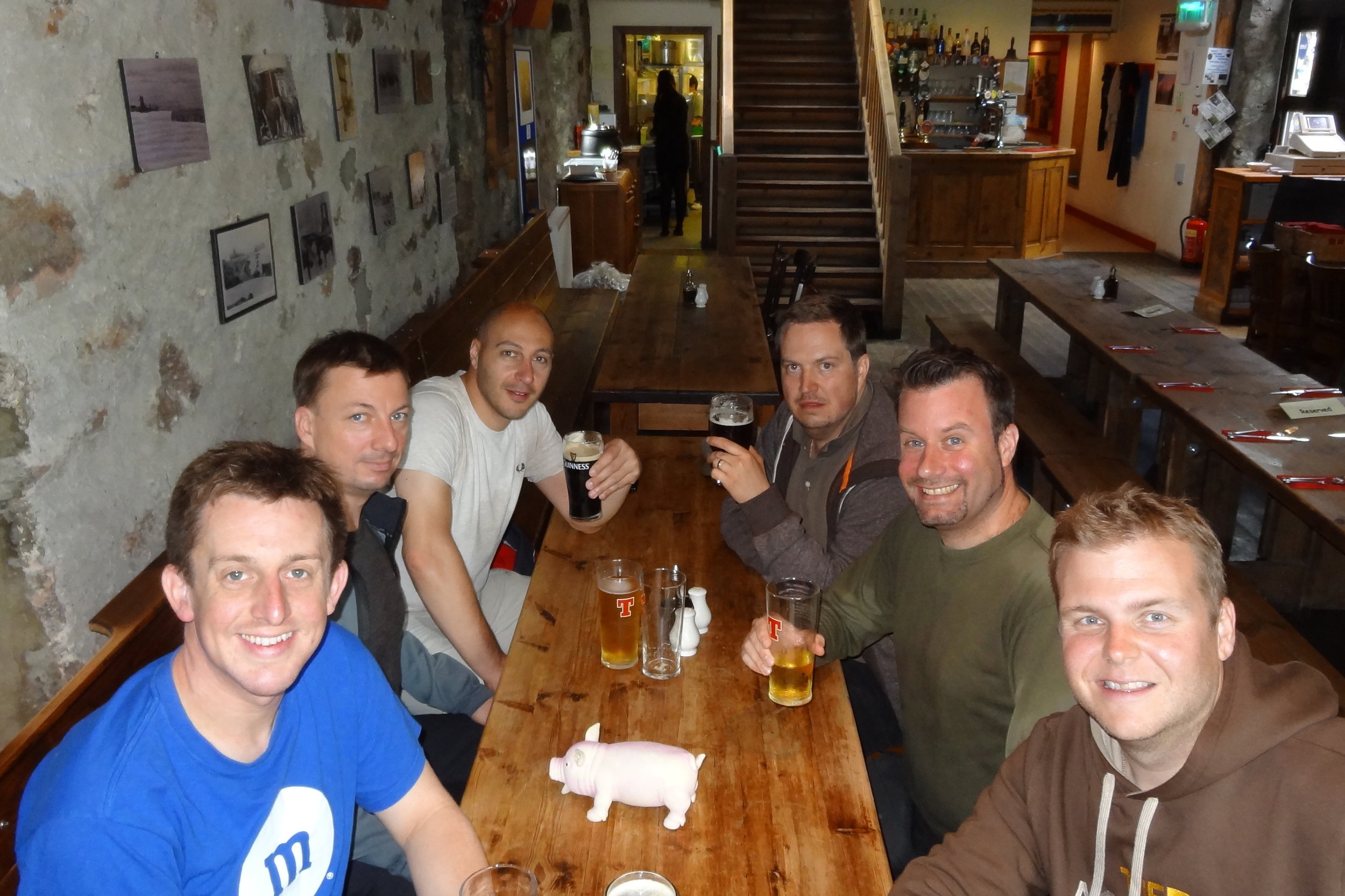
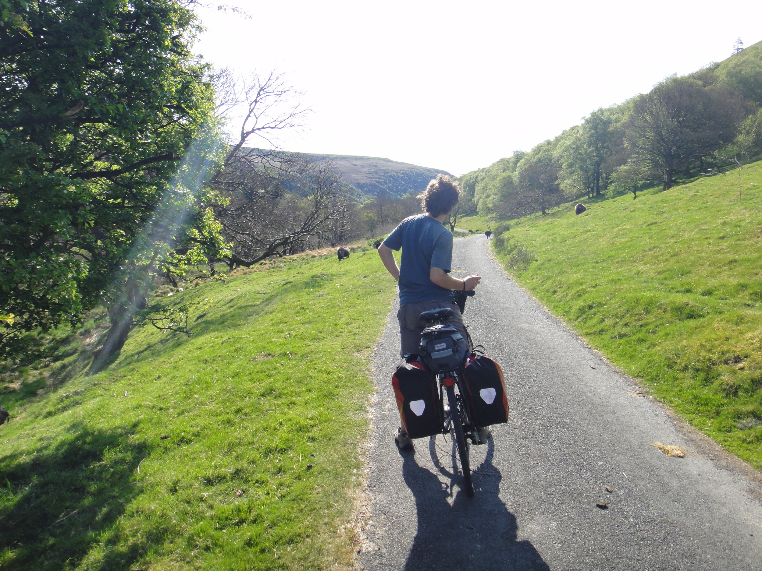
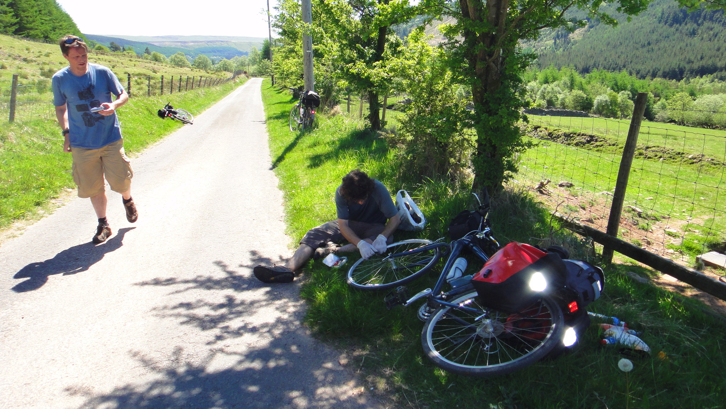
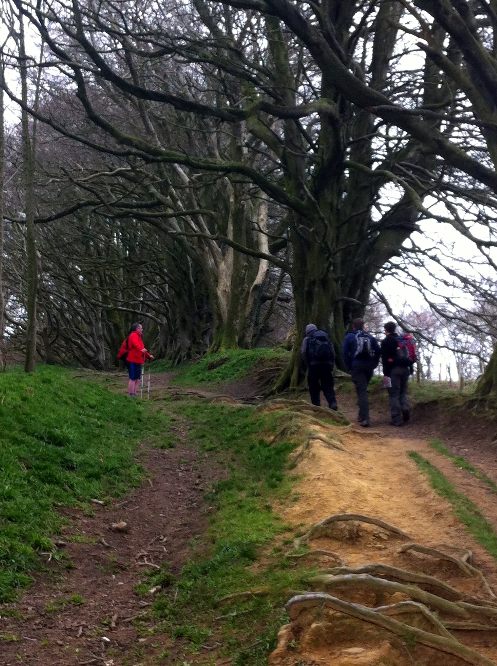
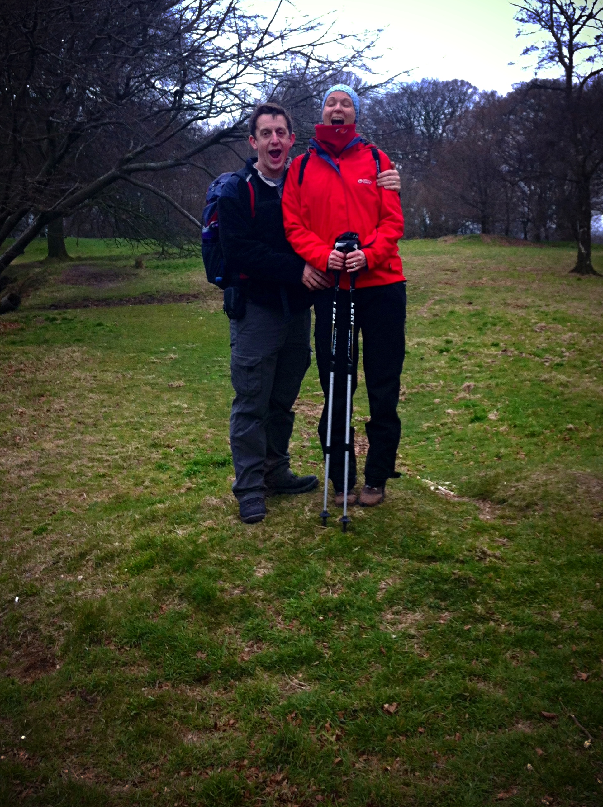
Having 6 County Tops in the bag, I was now ready for a longer multi-day trip to climb a few more remote ones. We went with a group of friends, some in it for the County Tops, others along for the ride. We headed down to Cornwall on a Friday afternoon for the start of the peaks of the South West. We started in Cornwall with the furthest away peak and worked our way back towards home.
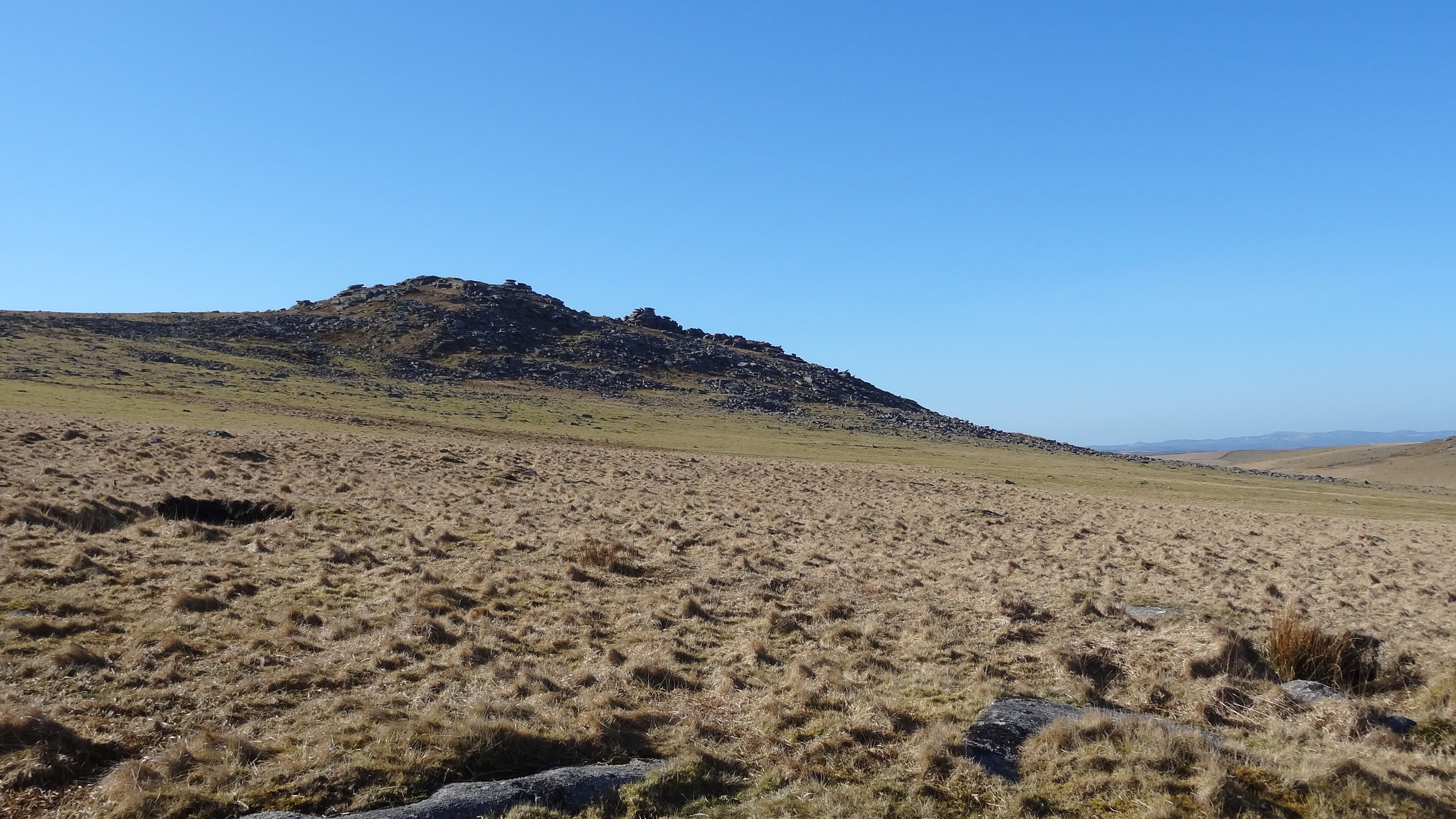
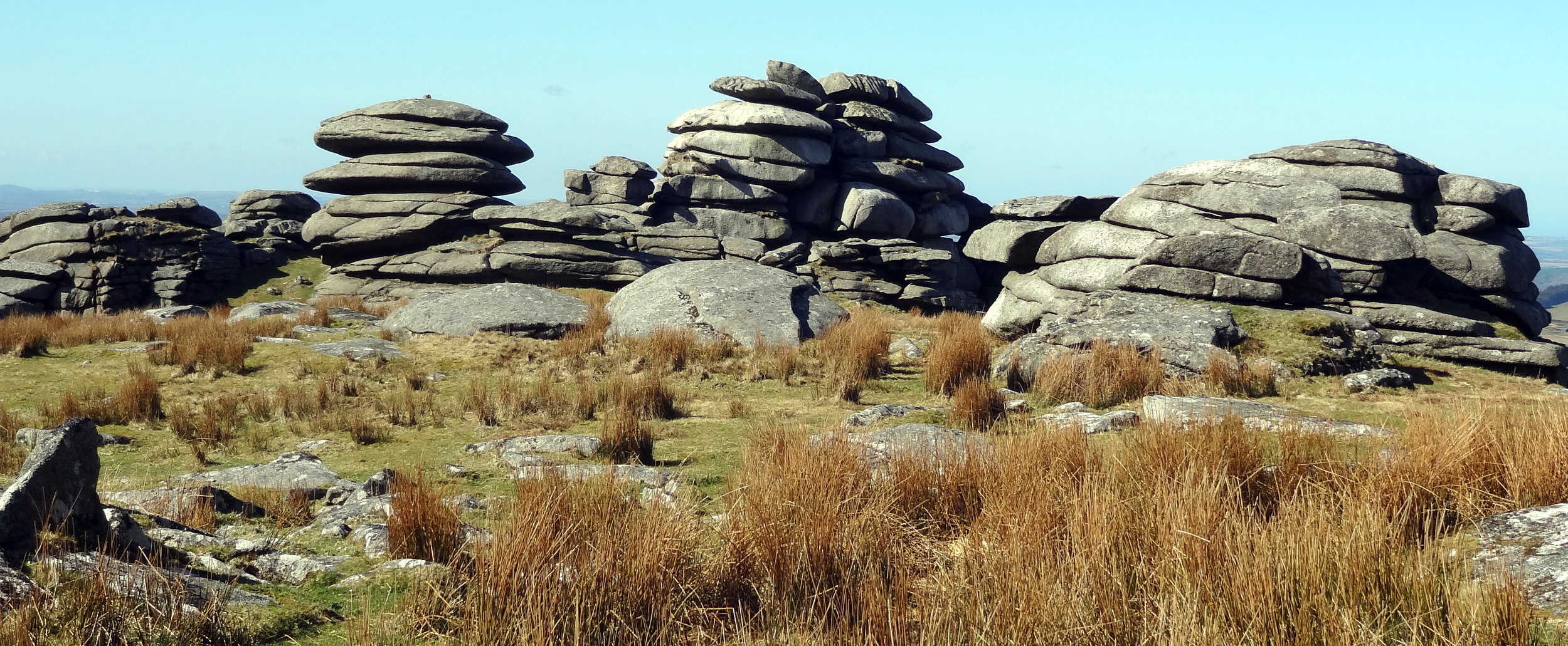

Brown Willy

Significance: Highest peak in Cornwall (Historic County Top), Cornwall National Landscape High Point
Member of: Marilyn
Parent Peak: High Willhays.
Nearest Higher Neighbour: Cox Tor
Elevation: 420m
Date climbed: 20th April 2013
Coordinates: 50°35′20″N 4°36′08″W

Route Start / End: Rough Tor Car Park, Roughtor Road, Camelford, PL32 9QJ
Route Distance: 8 km (5 miles)
Route Elevation Change: +/- 400m
Subsidiary tops on route: Showery Tor (385m), Little Rough Tor (373m), Rough Tor (400m)
GPX File: get via Buy Me a Coffee
Other routes touched: N/A
OS Trig Pillar: TP1710 - Brown Willy
Map: OS Explorer 109: Bodmin Moor
Guidebook: The UK's County Tops (Jonny Muir), Walking the County High Points of England (David Bathurst)
Links: Wikipedia (Cornwall), Wikipedia (Brown Willy), Peakbagger, Hillbagging

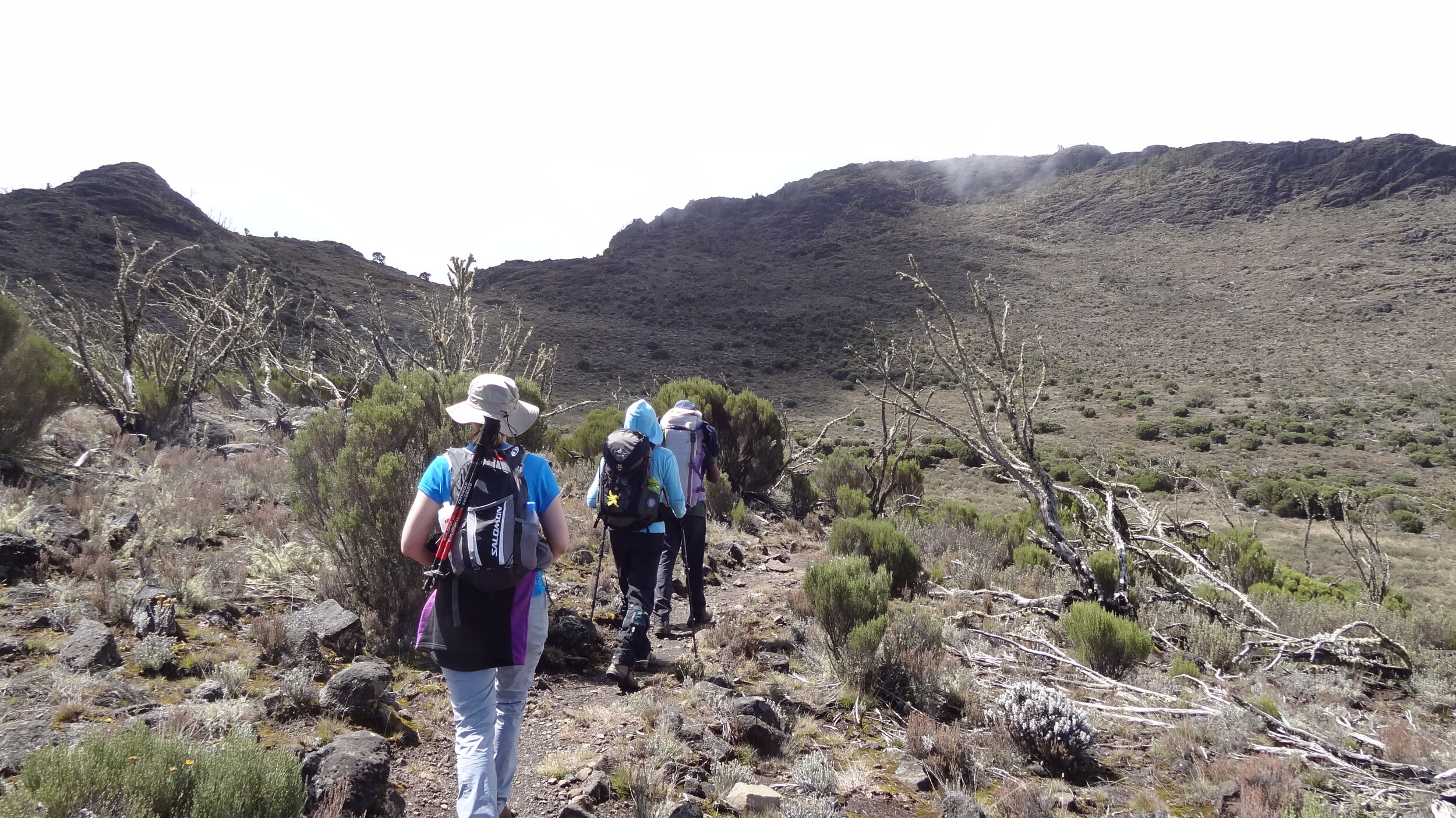
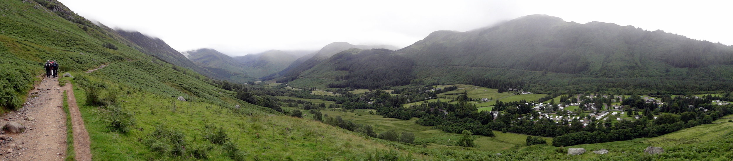
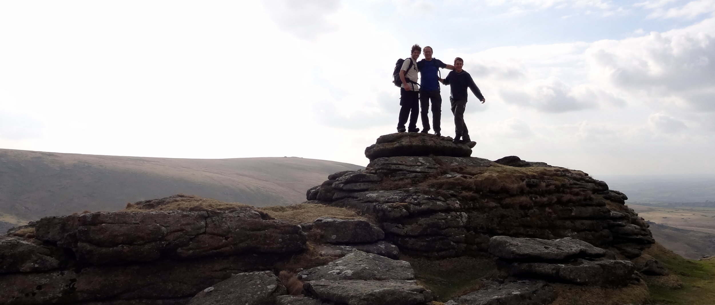
Brown Willy is in a remote patch of Bodmin Moor, roughly in the centre of the county. By the time you’ve reached the car park you’re already at 260m elevation so the walk only adds another 160m. It’s a fairly quick out and back to bag the summit but worth a couple of diversions to Rough Tor, Little Rough Tor and Showery Tor in the way.
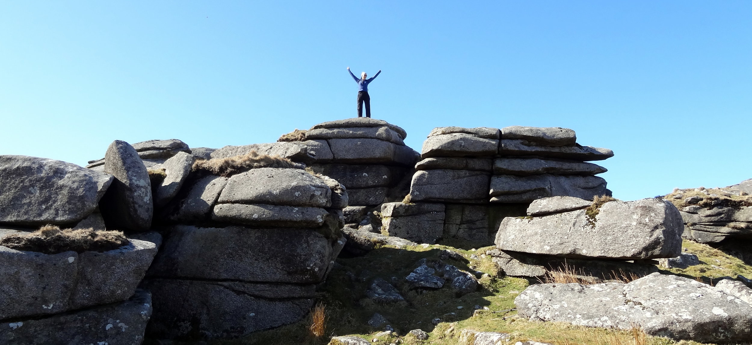
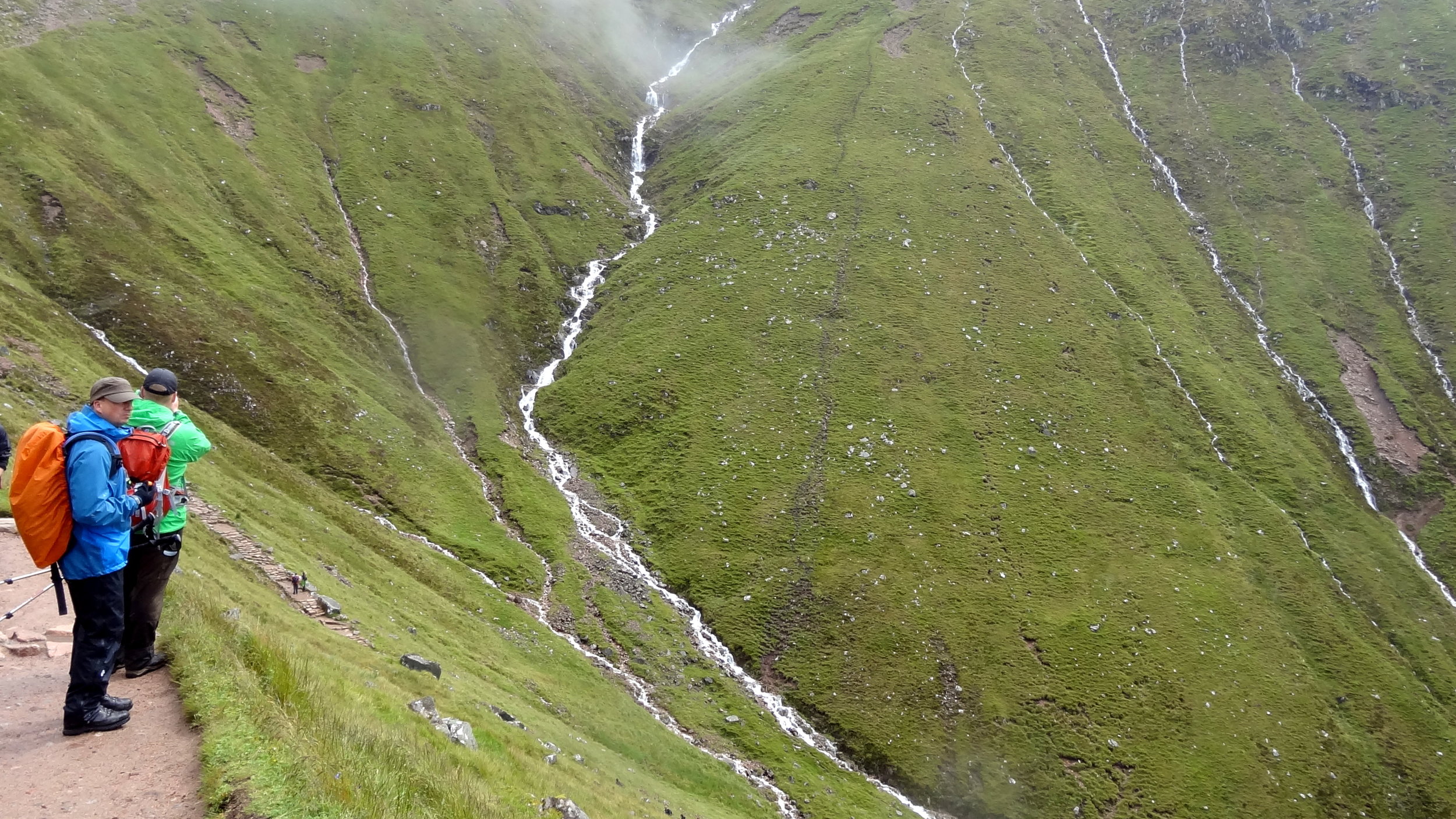

High Willhays

Significance: Highest peak in Devon (Historic County Top), Dartmoor National Park High Point
Member of: Marilyn, Hewitt, Nuttall
Parent Peak: Cross Fell.
Nearest Higher Neighbour: Garreg Las
Elevation:
 621m
Date climbed: 20th April 2013
Coordinates: 50°41′06″N 4°00′36″W

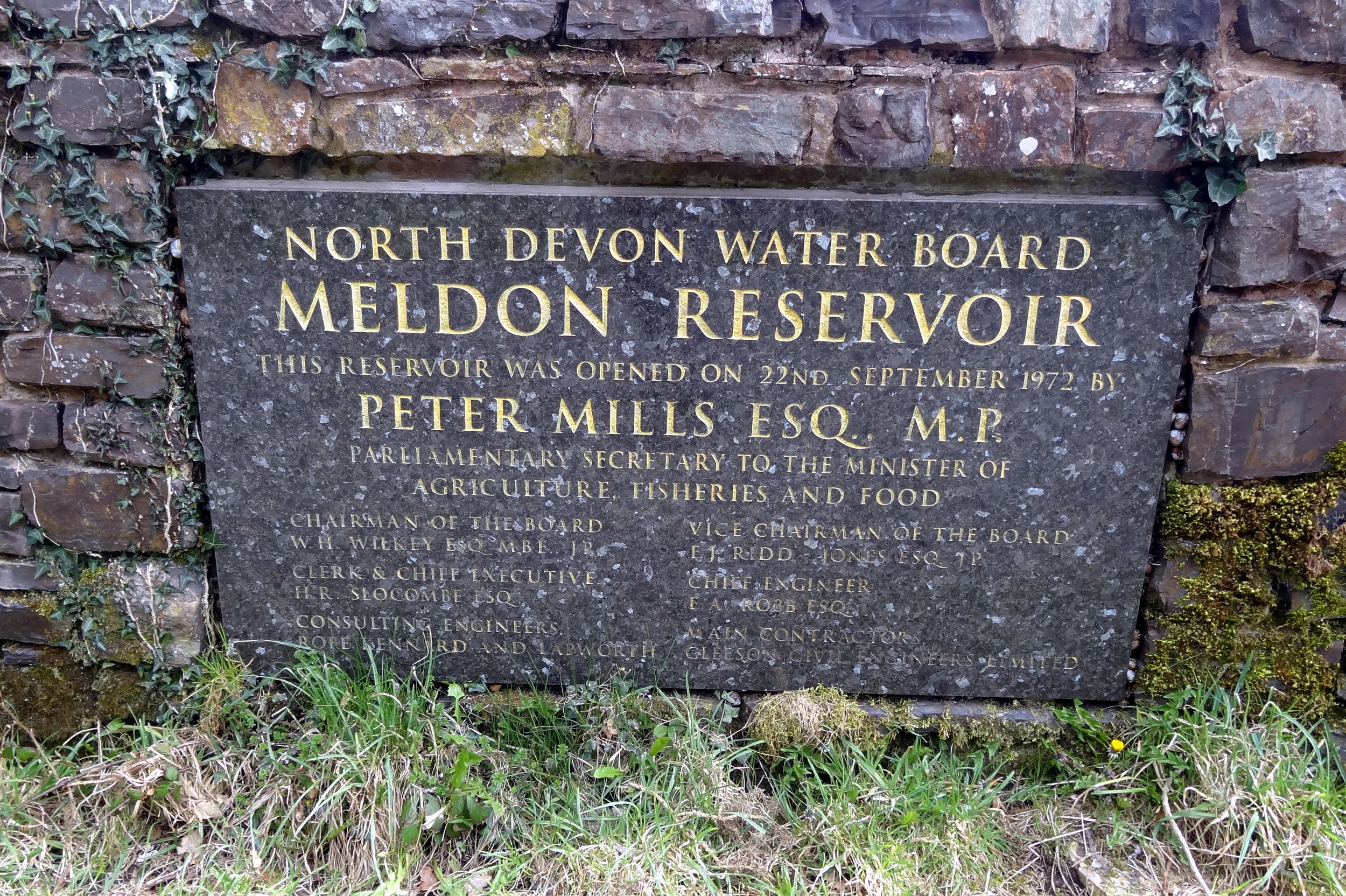
Route Start / End: Meldon Reservoir Car Park, Okehampton, EX20 4LU
Route Distance: 6.4 km (4 miles)
Route Elevation Change: +/- 395m
Subsidiary tops on route: Yes Tor (619m)
GPX File: get via Buy Me a Coffee
Other routes touched (walk): Mary Michael Pilgrims Way
OS Trig Pillar: TP7101 - Yes Tor
Map: OS Explorer OL28: Dartmoor
Guidebook: The UK's County Tops (Jonny Muir), Walking the County High Points of England (David Bathurst)
Links: Wikipedia (Devon), Wikipedia (High Willhays), Peakbagger, Hillbagging

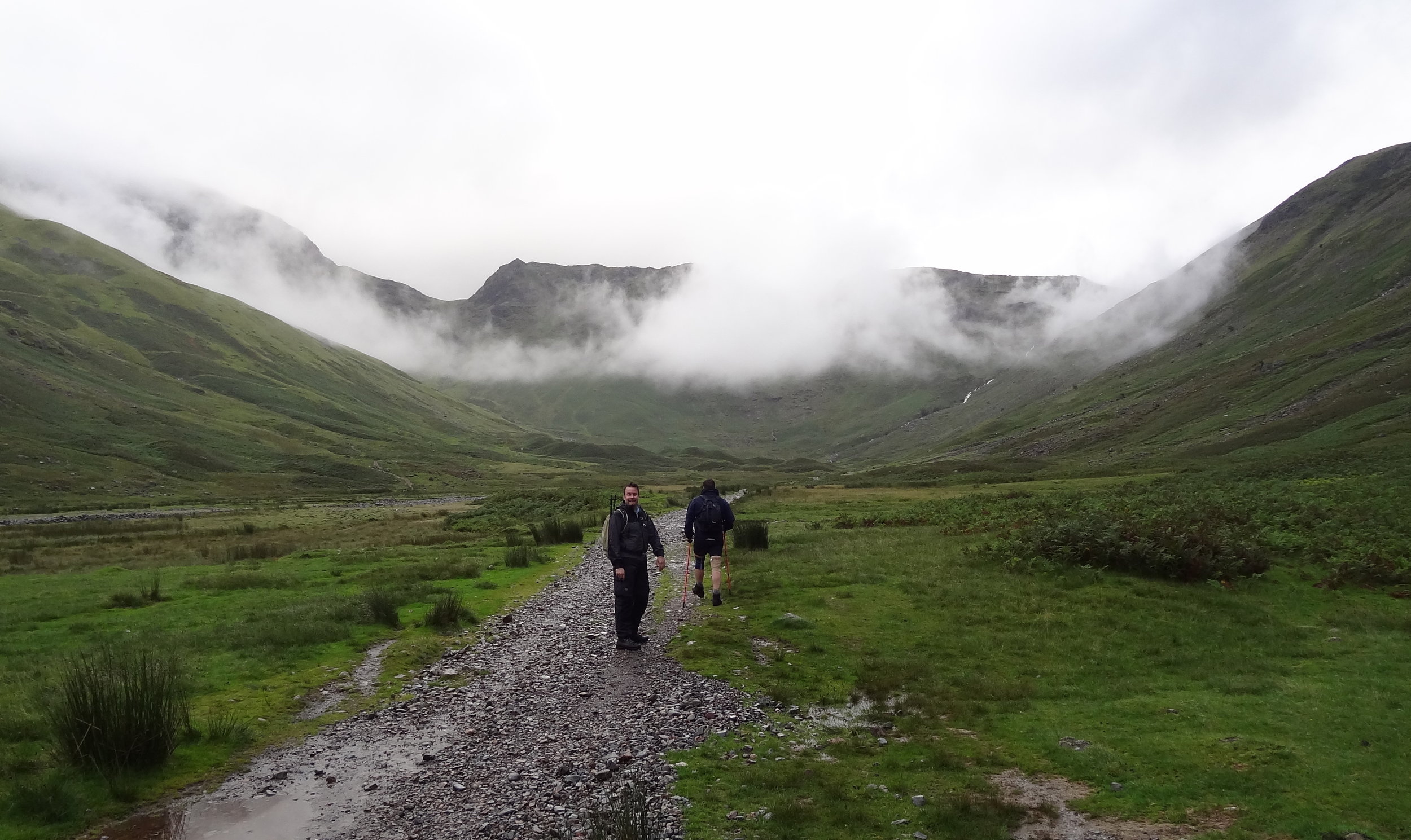
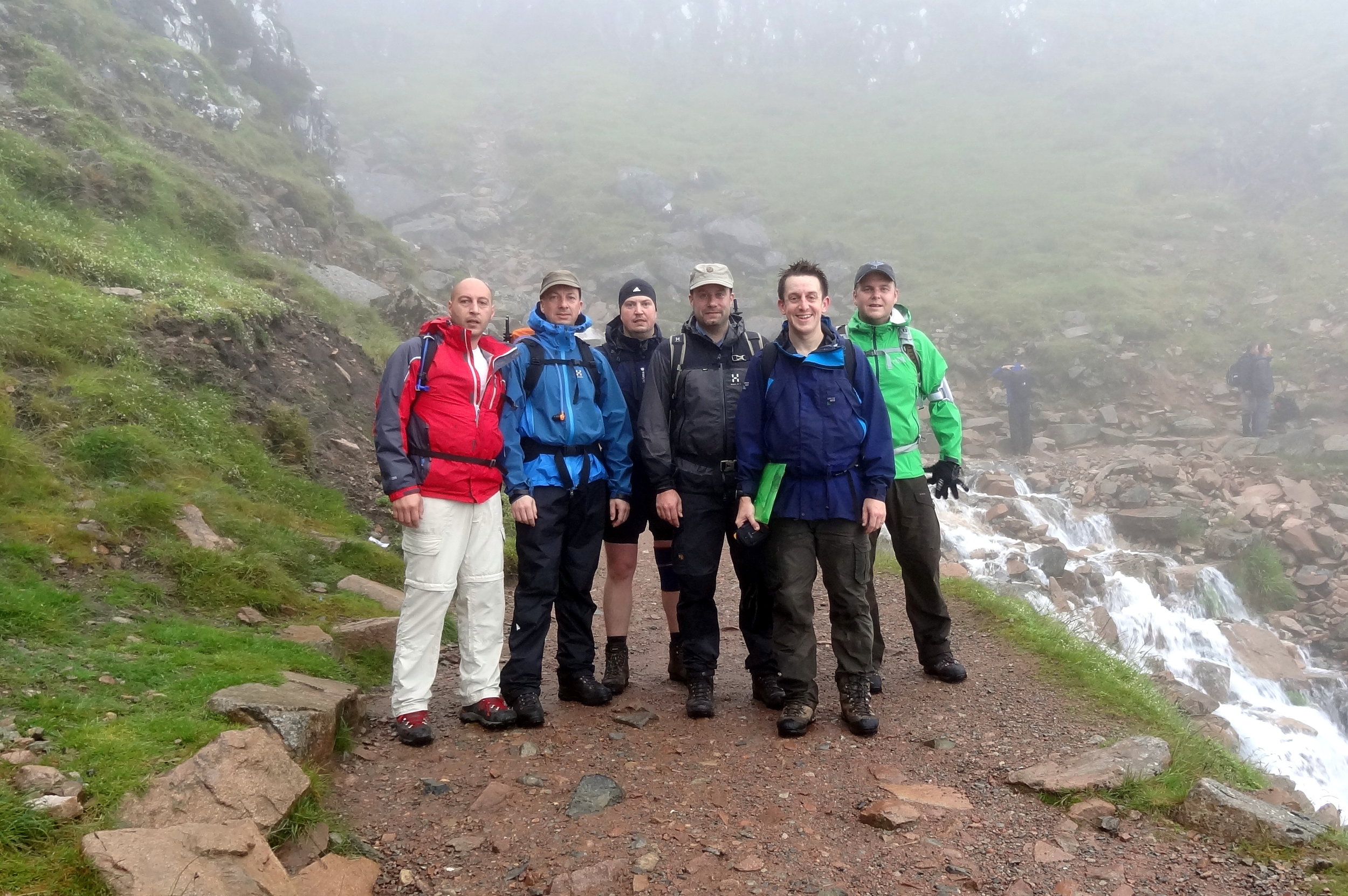
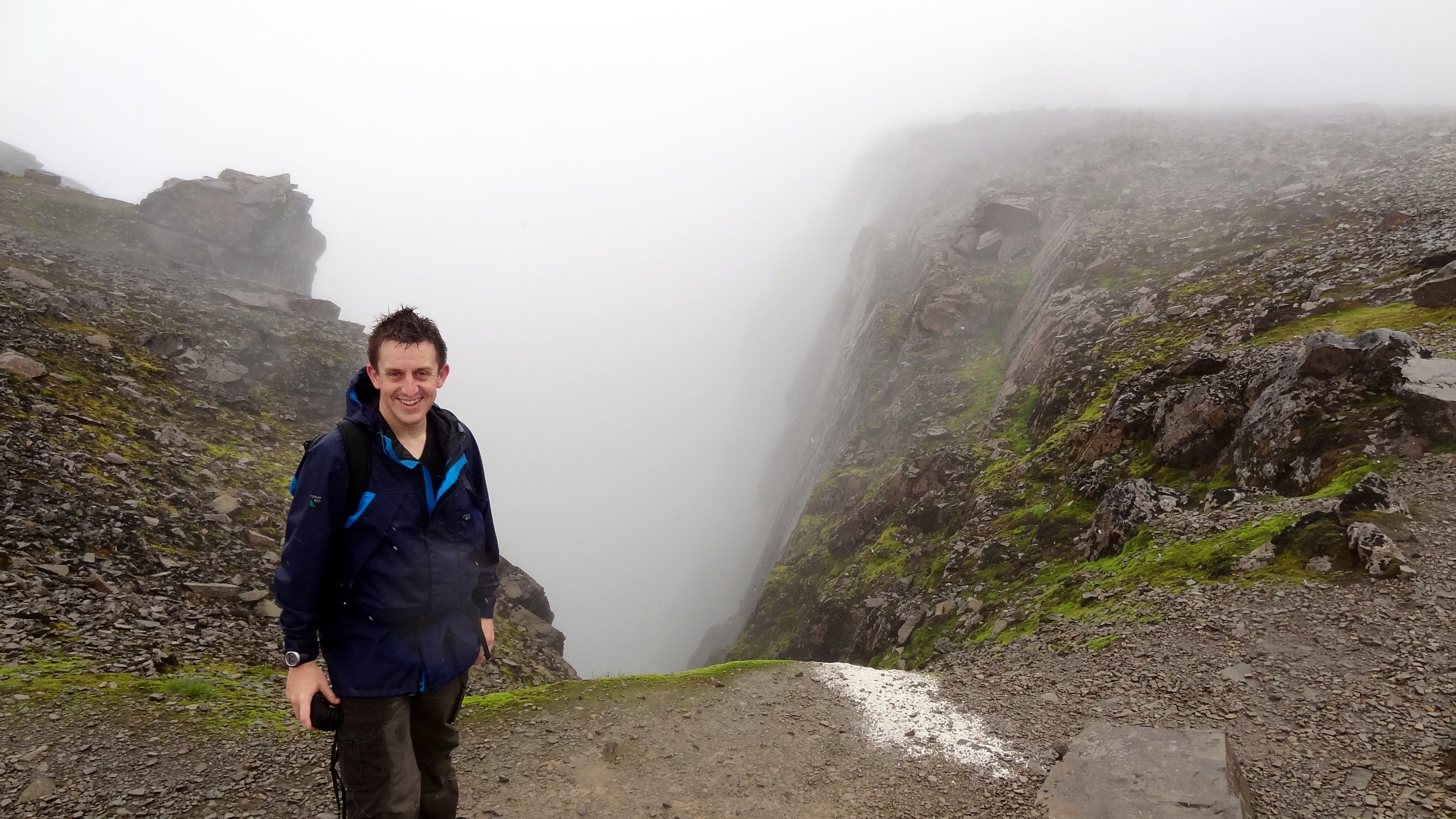
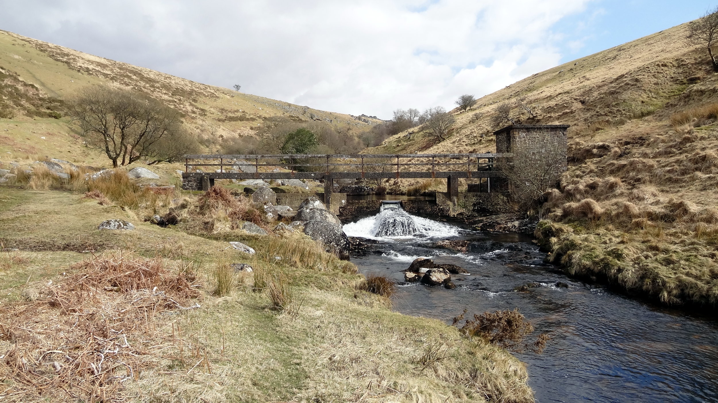
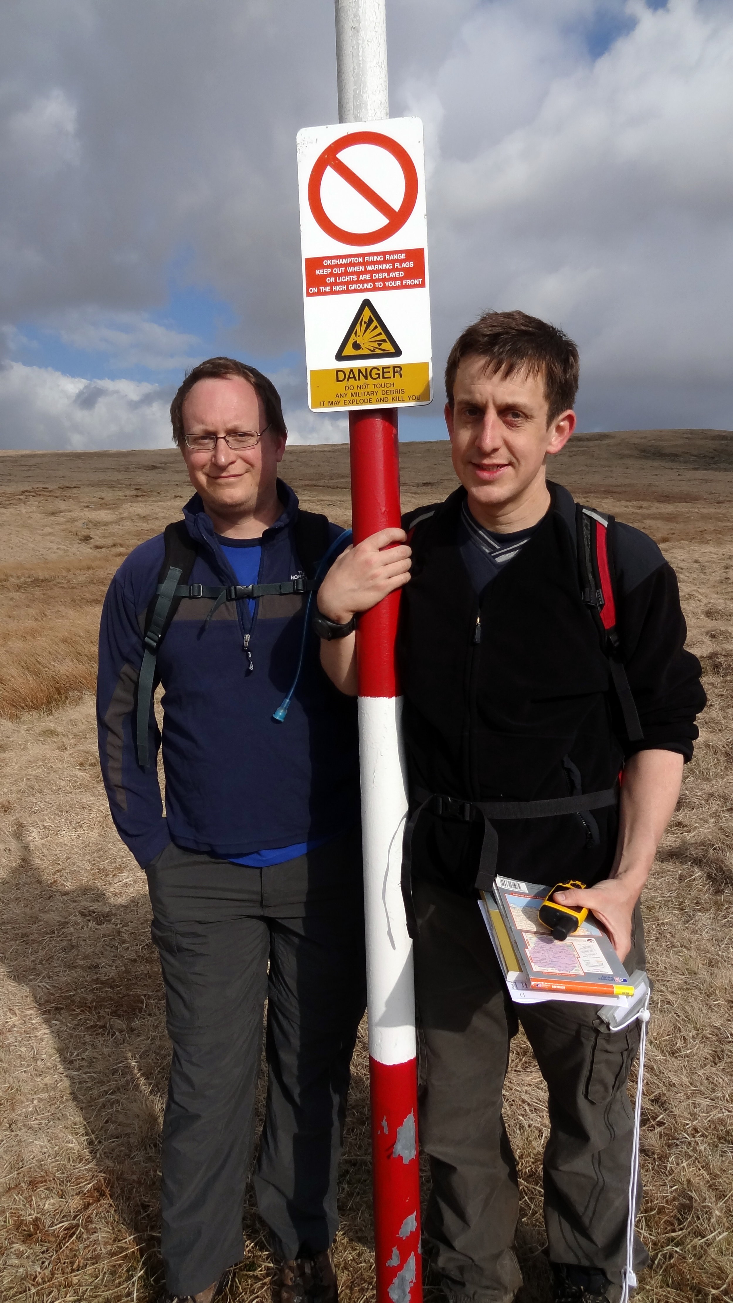
High Willhays is the highlight of this collection of four peaks. It’s the highest and it’s a great circular walk. Note that the summit is on a Military firing range so check firing times before you leave to make sure that access is open.

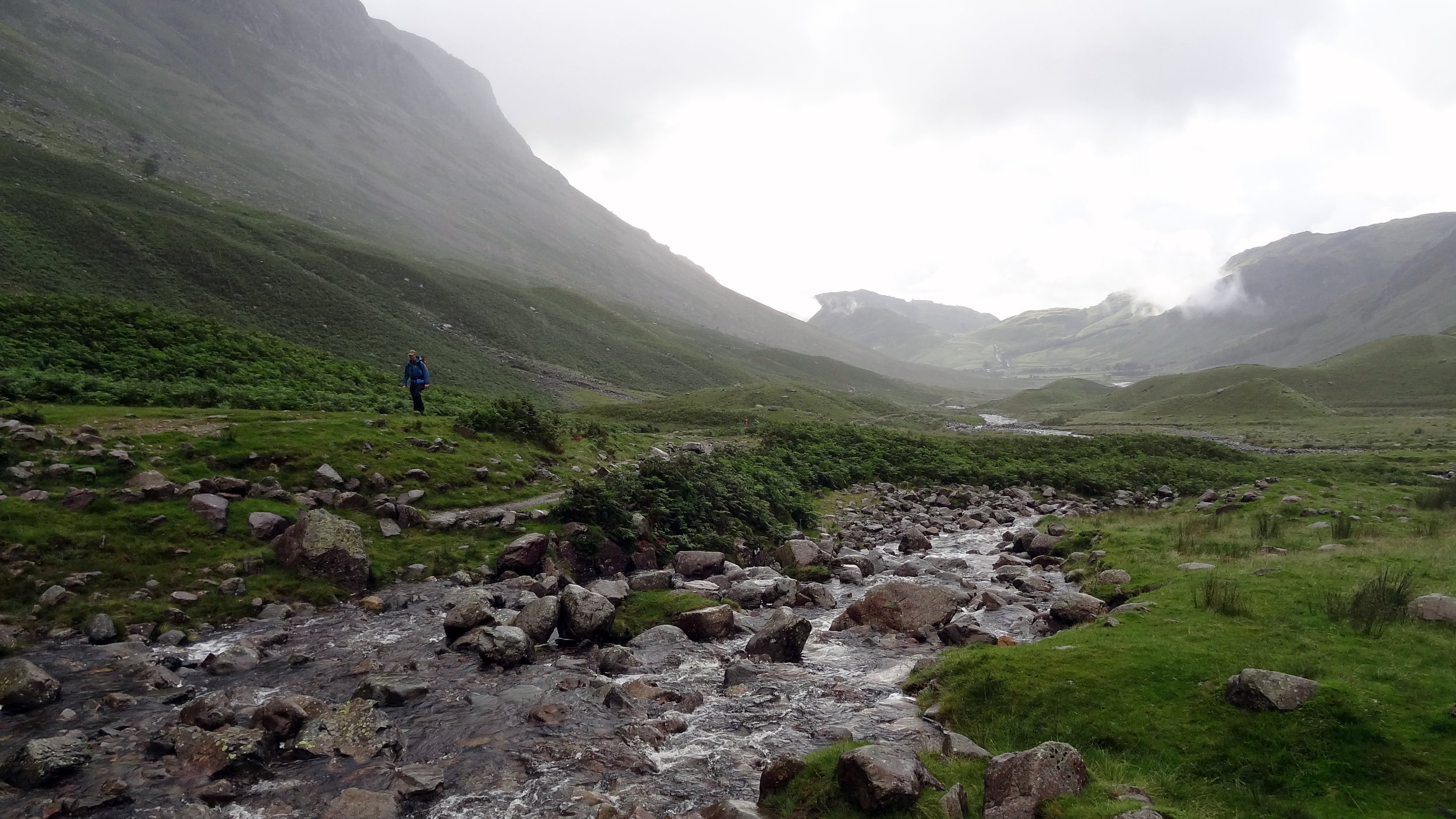
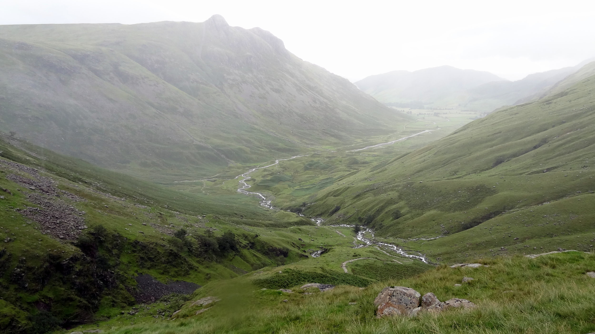
From the Meldon Reservoir car park walk in a south easterly direction across the top of the reservoir dam wall. Take a right and follow the path on the southern edge of the reservoir and continue south on the path following the West Oke River. At ~5km from the car park you can take a path that climbs up the hill in a north-westerly direction to Fordlands Ledge. Here you'll join the Mary Michael Pilgrims Way. Continue up the hill until you reach the summit of High Willhays. From High Willhays continue north to Yes Tor.

From Yes Tor we took a bearing and followed a direct line in a north-westerly direction to meet the track at 50°41'51.3"N 4°01'39.2"W. This track takes you in a northerly direction, curving to the west and returns to the reservoir then back to the start.
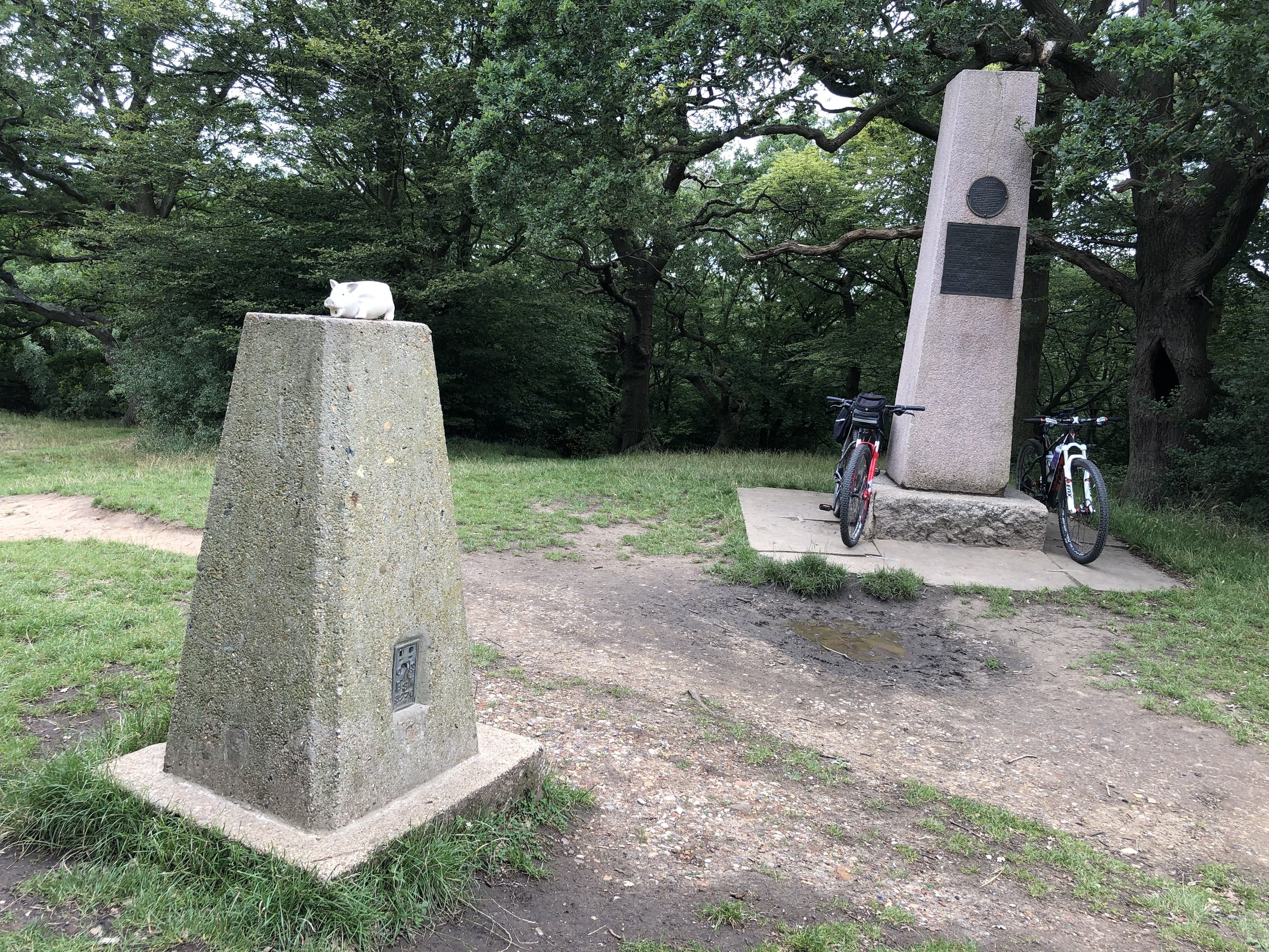
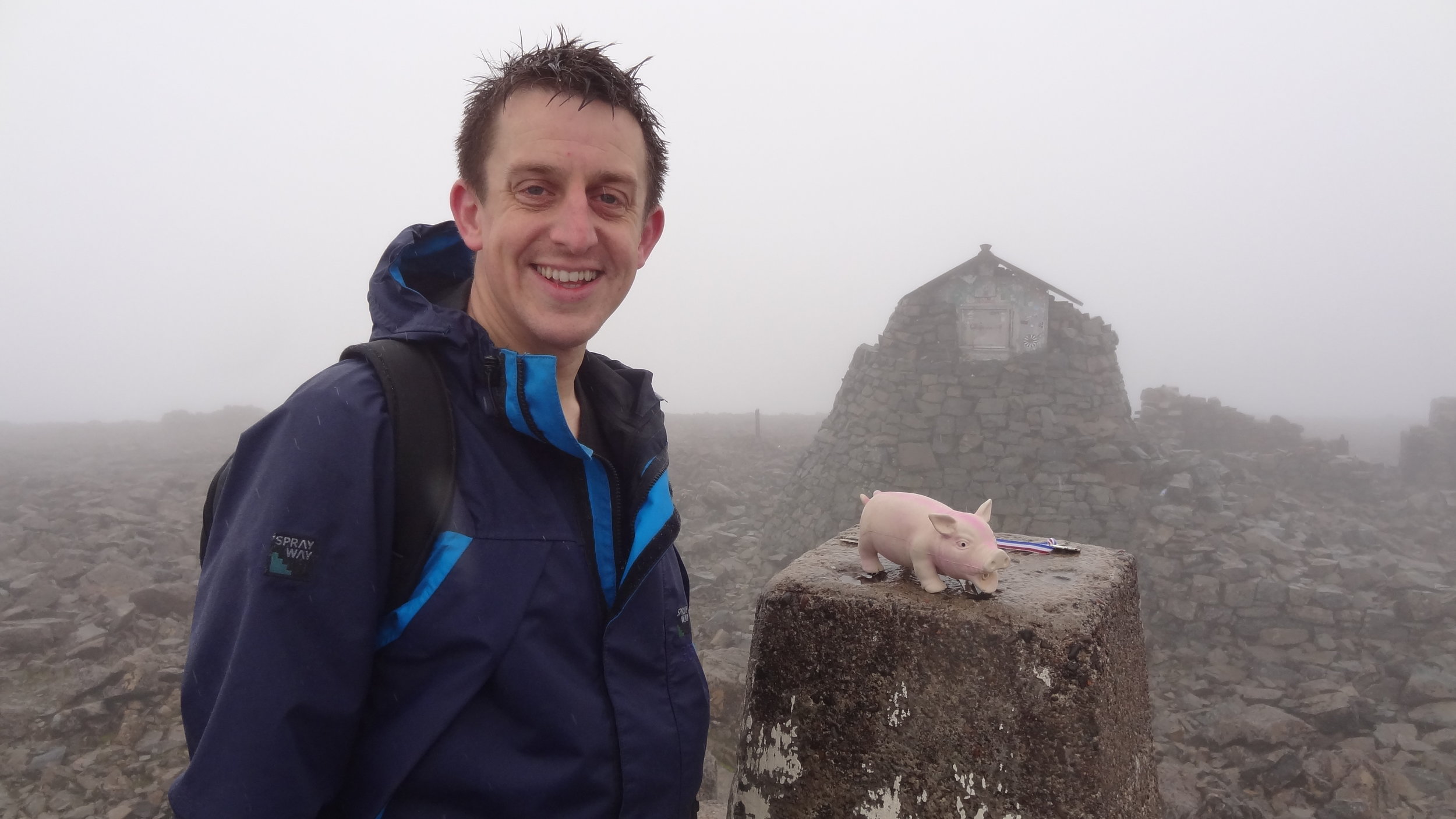
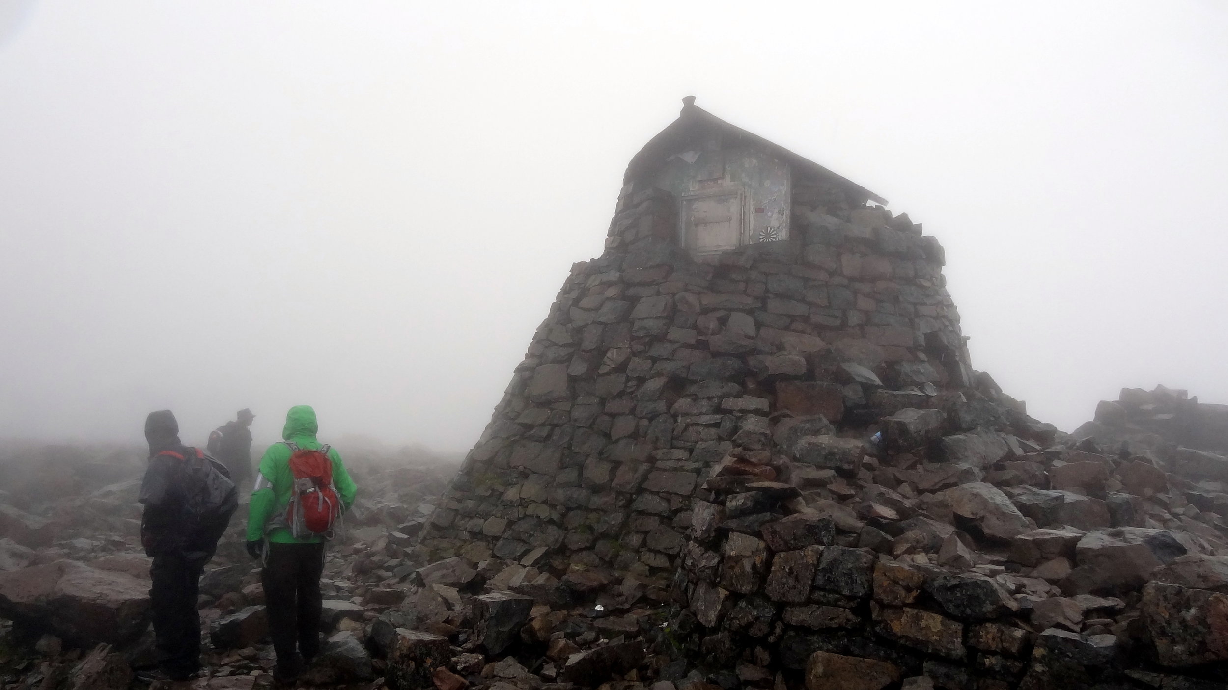
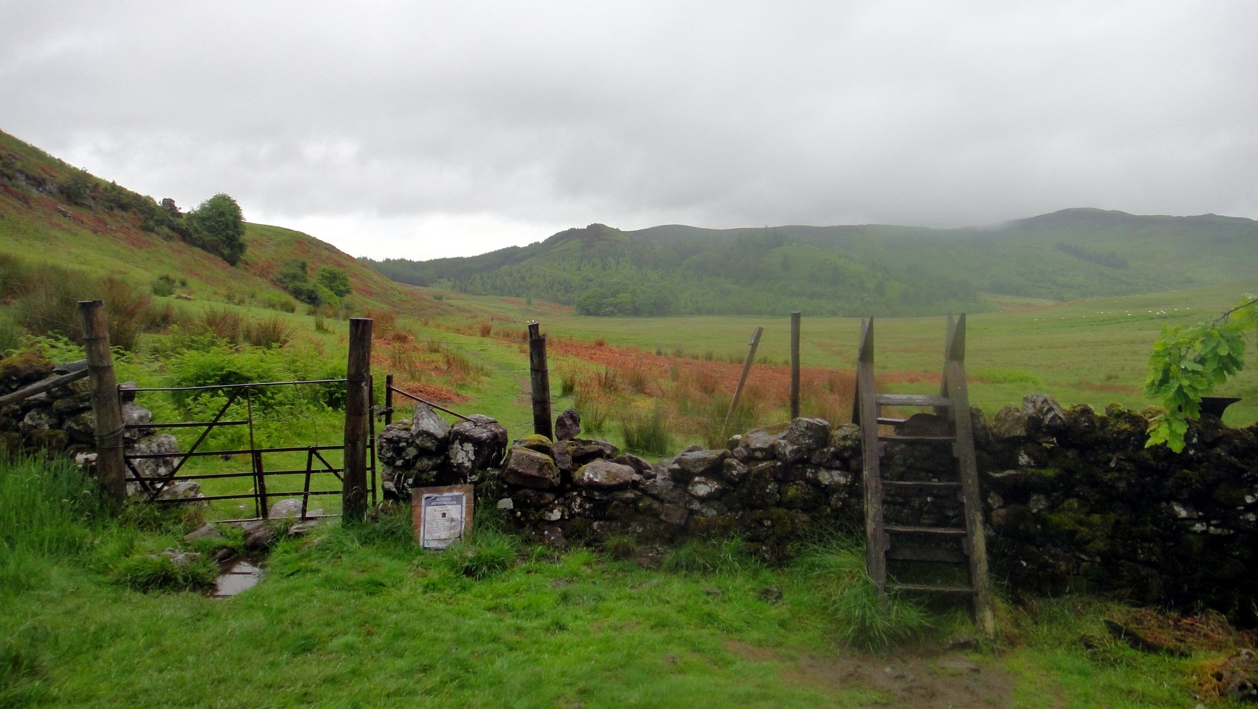
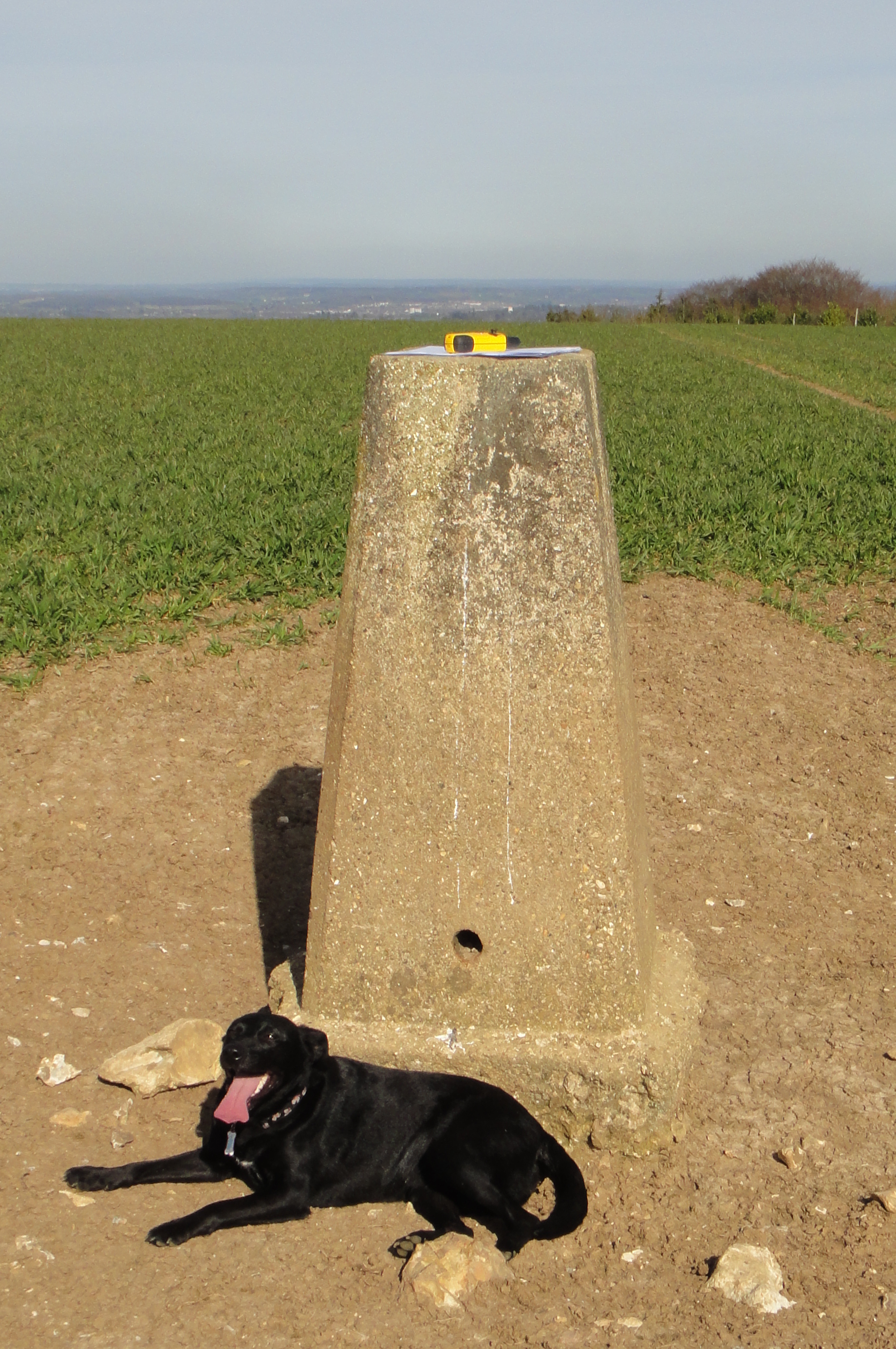
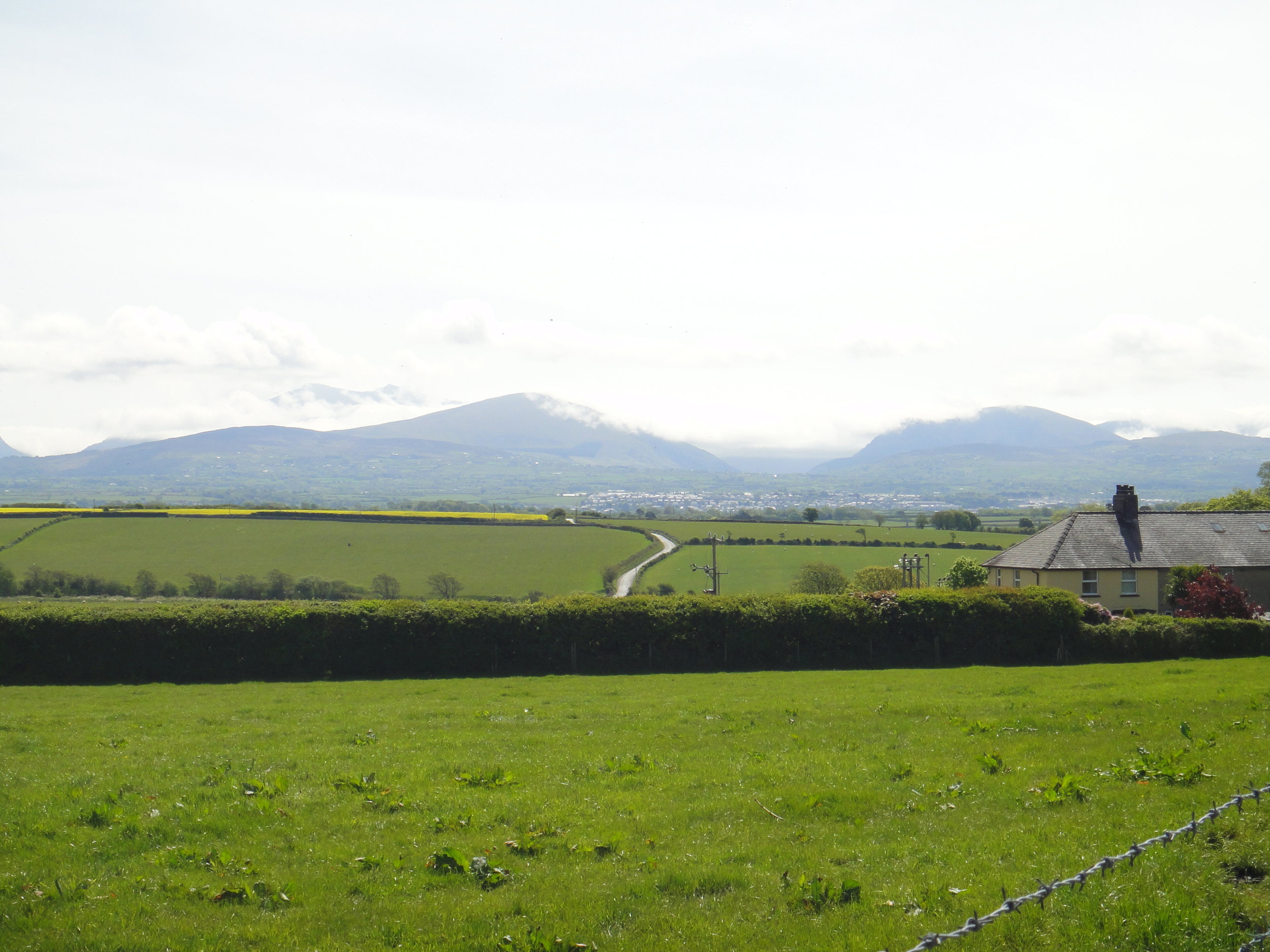
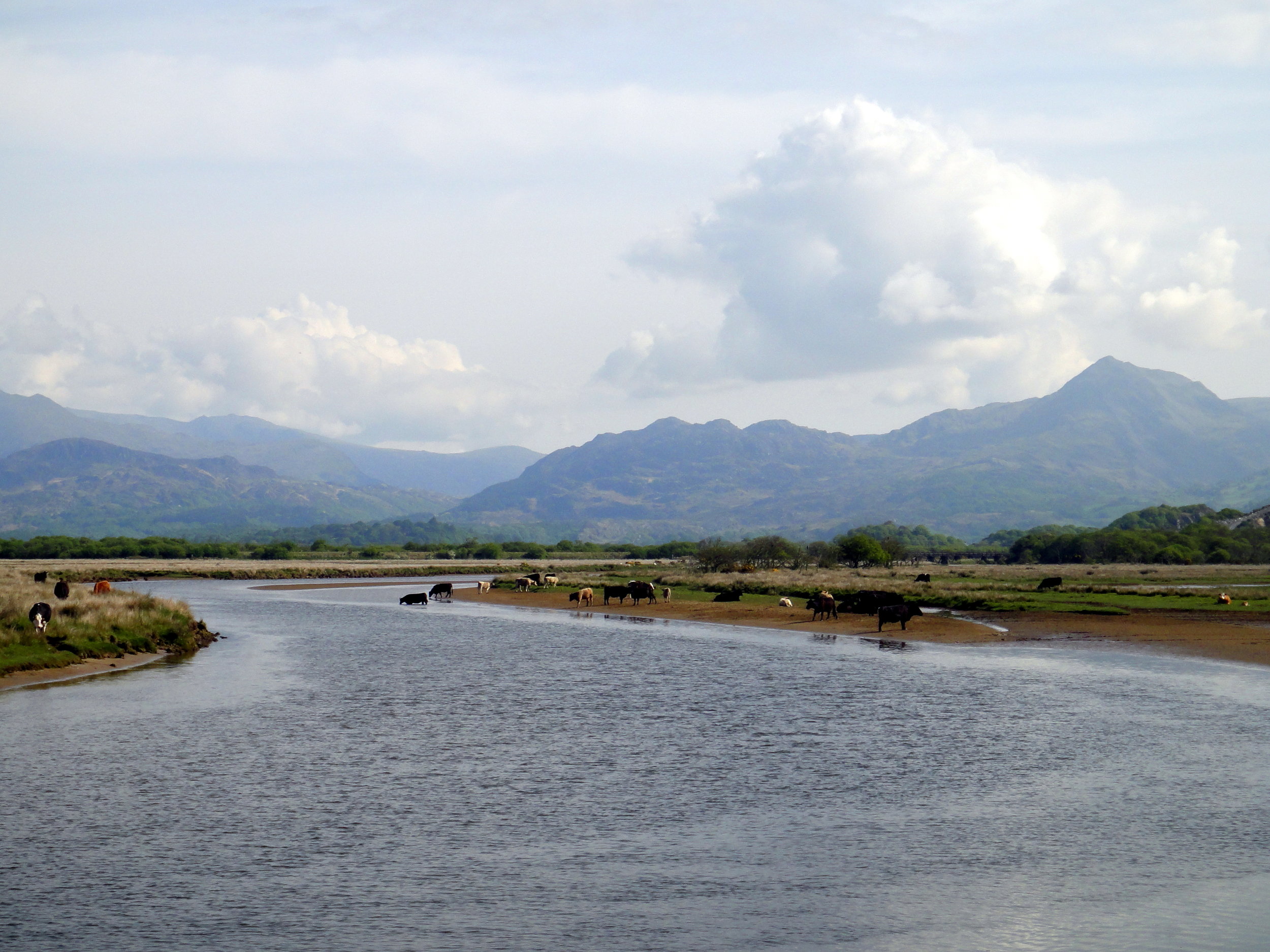
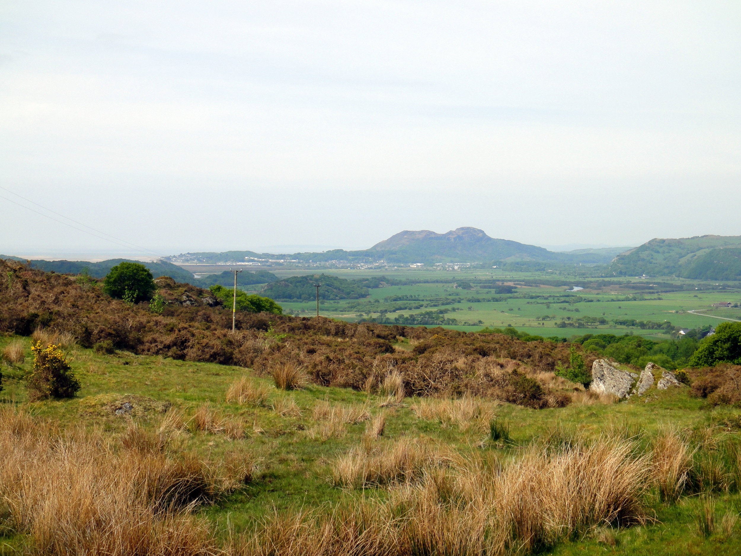
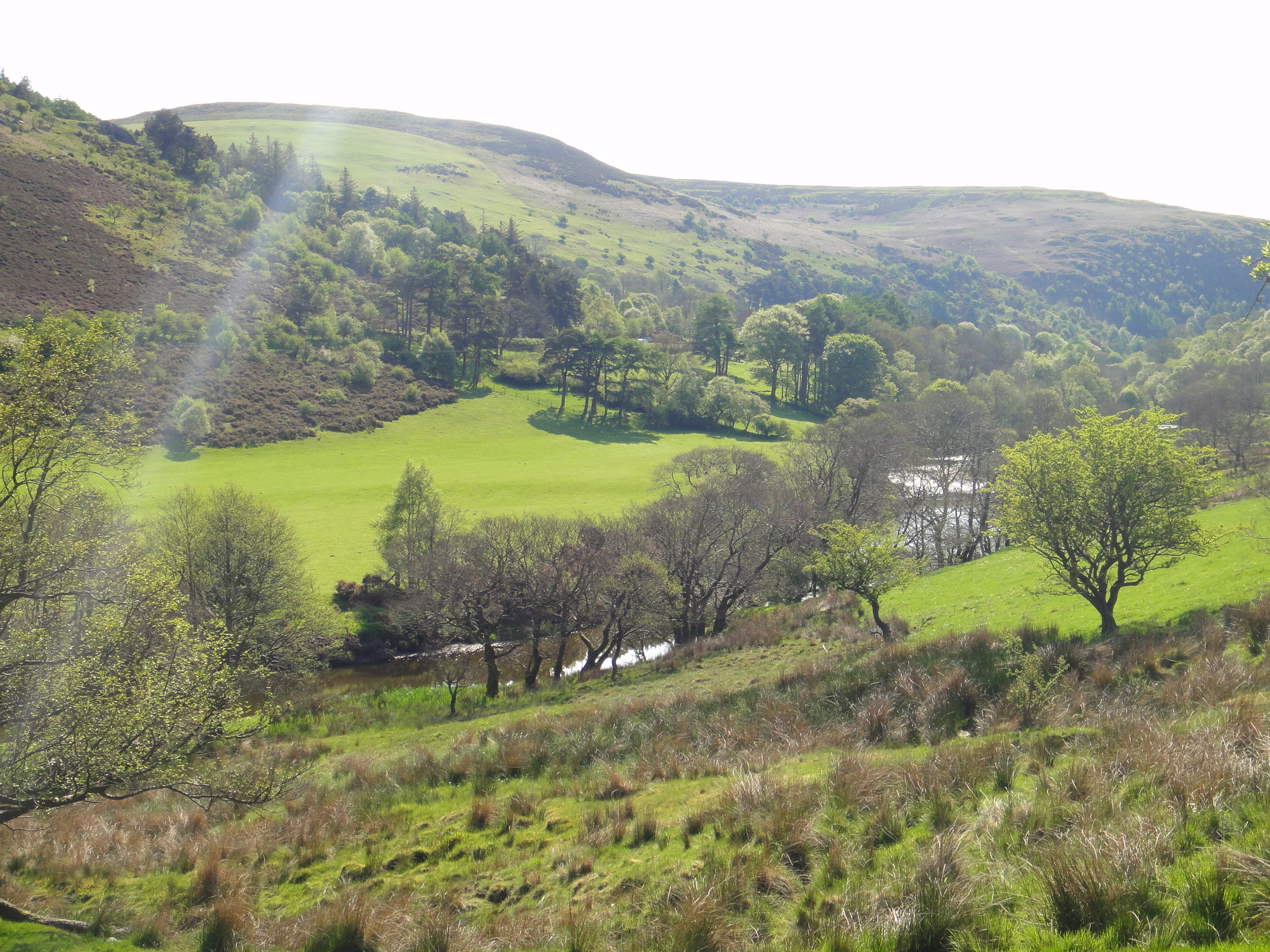
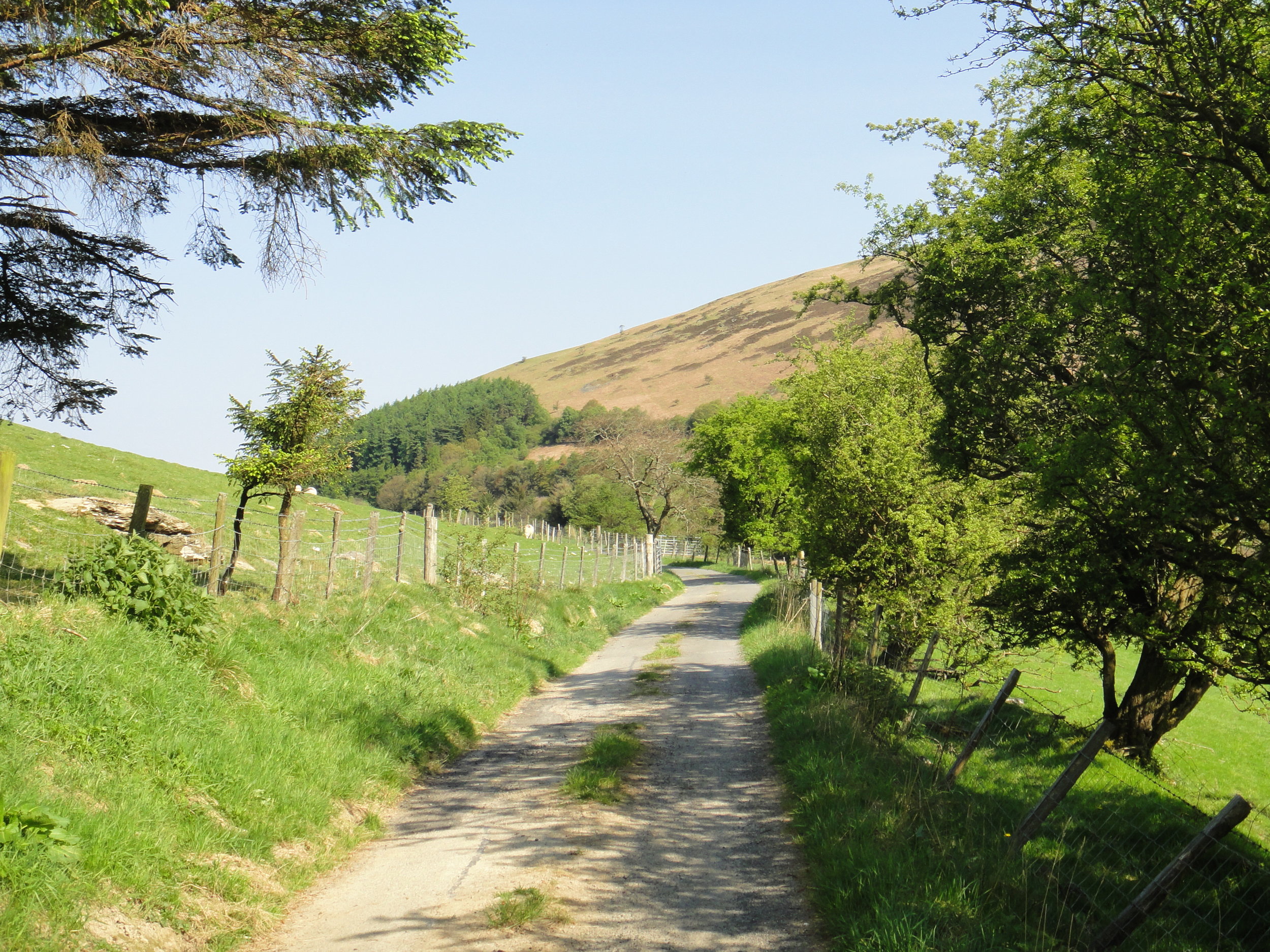
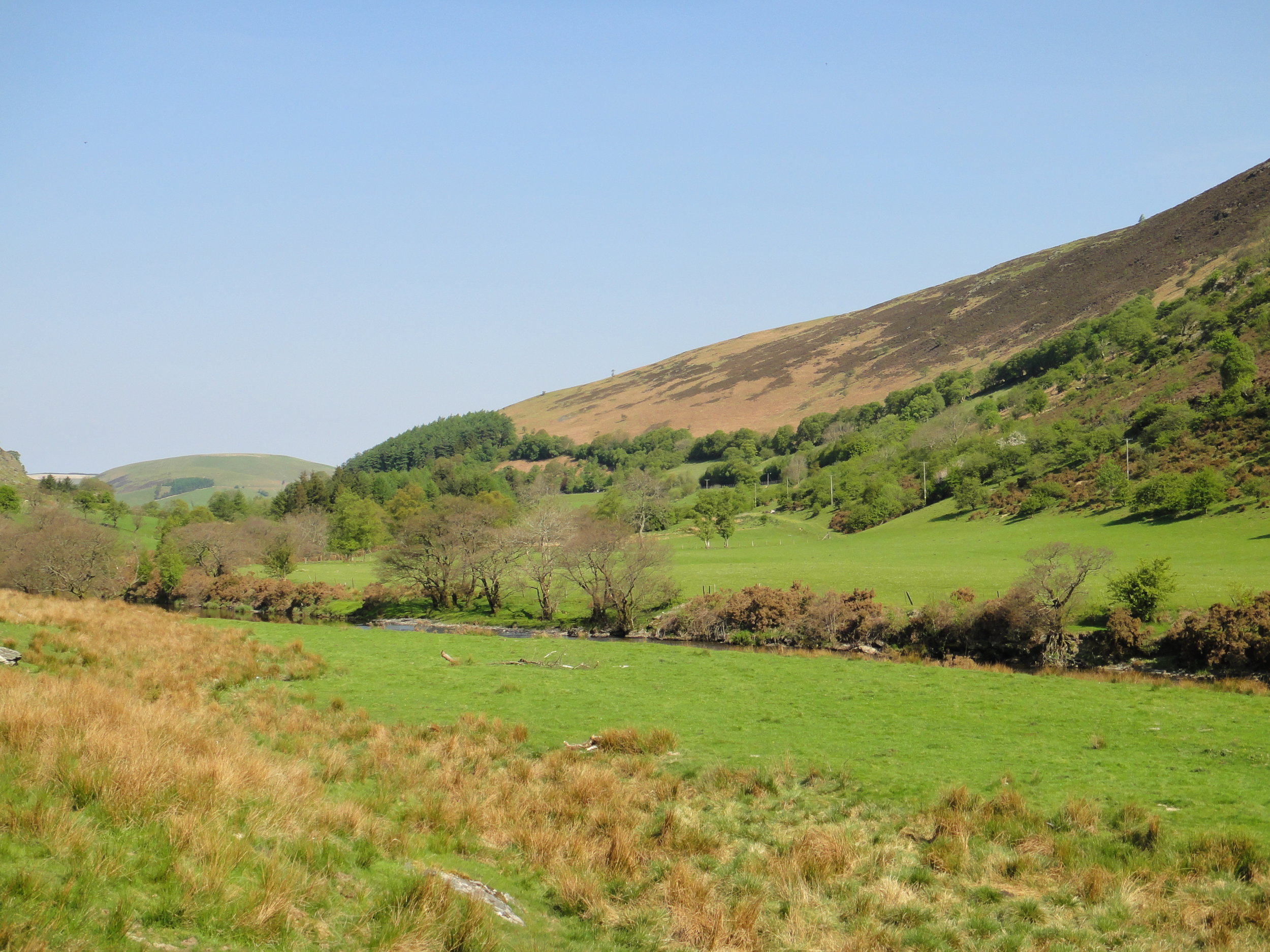
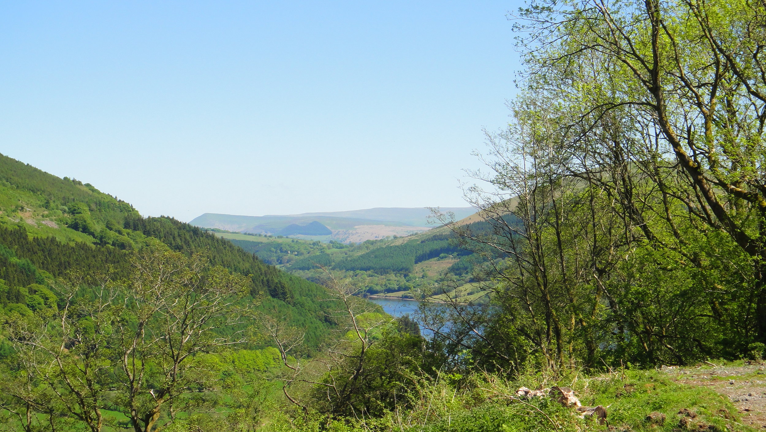
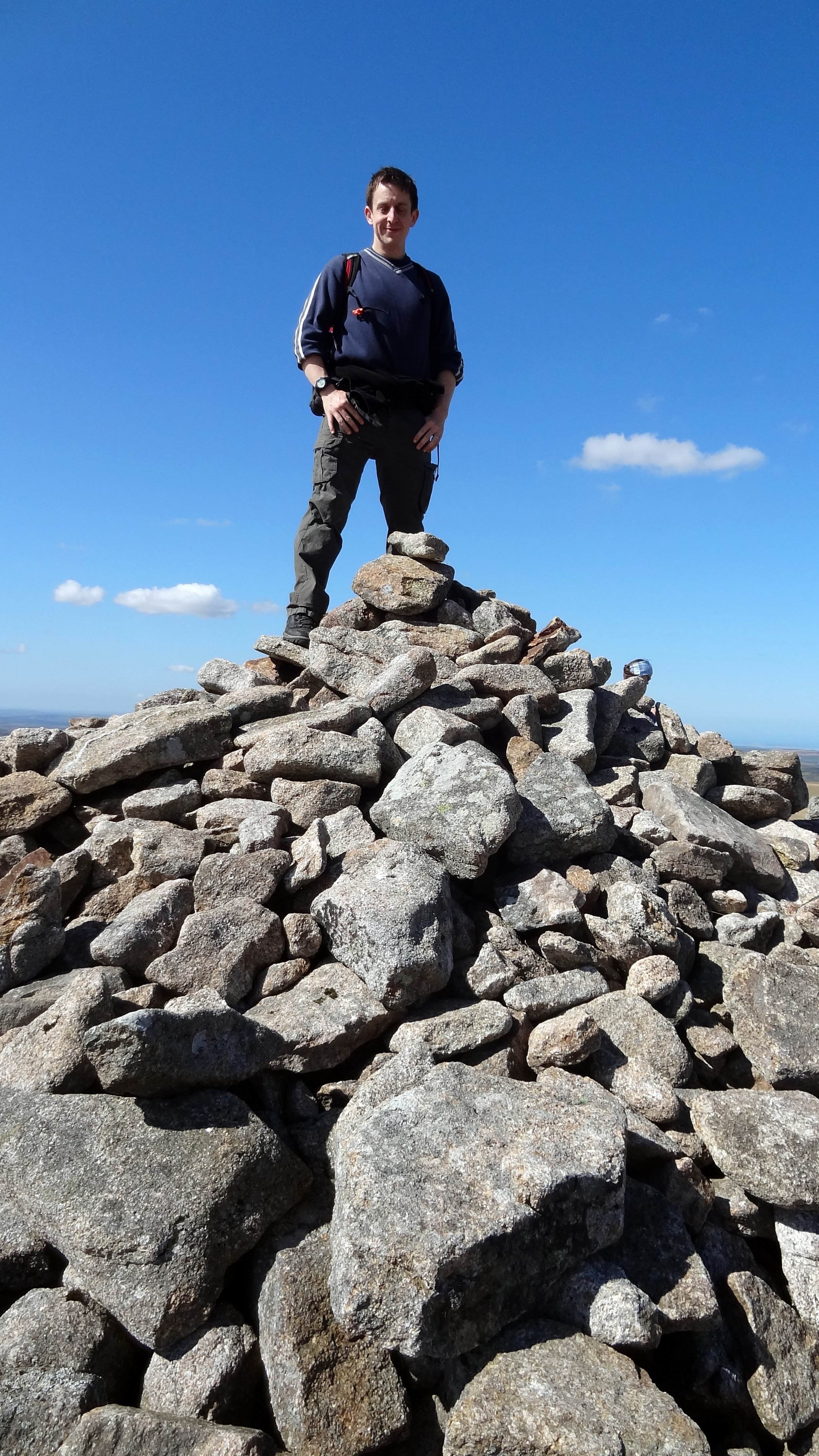
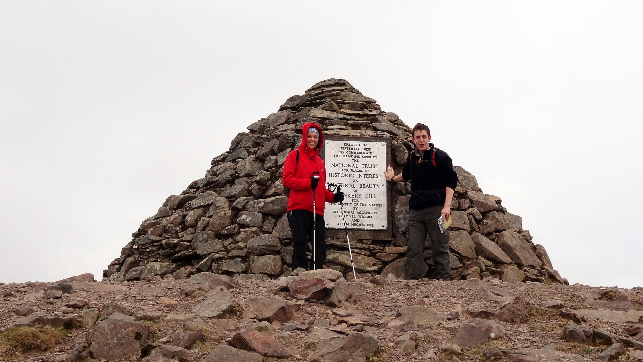
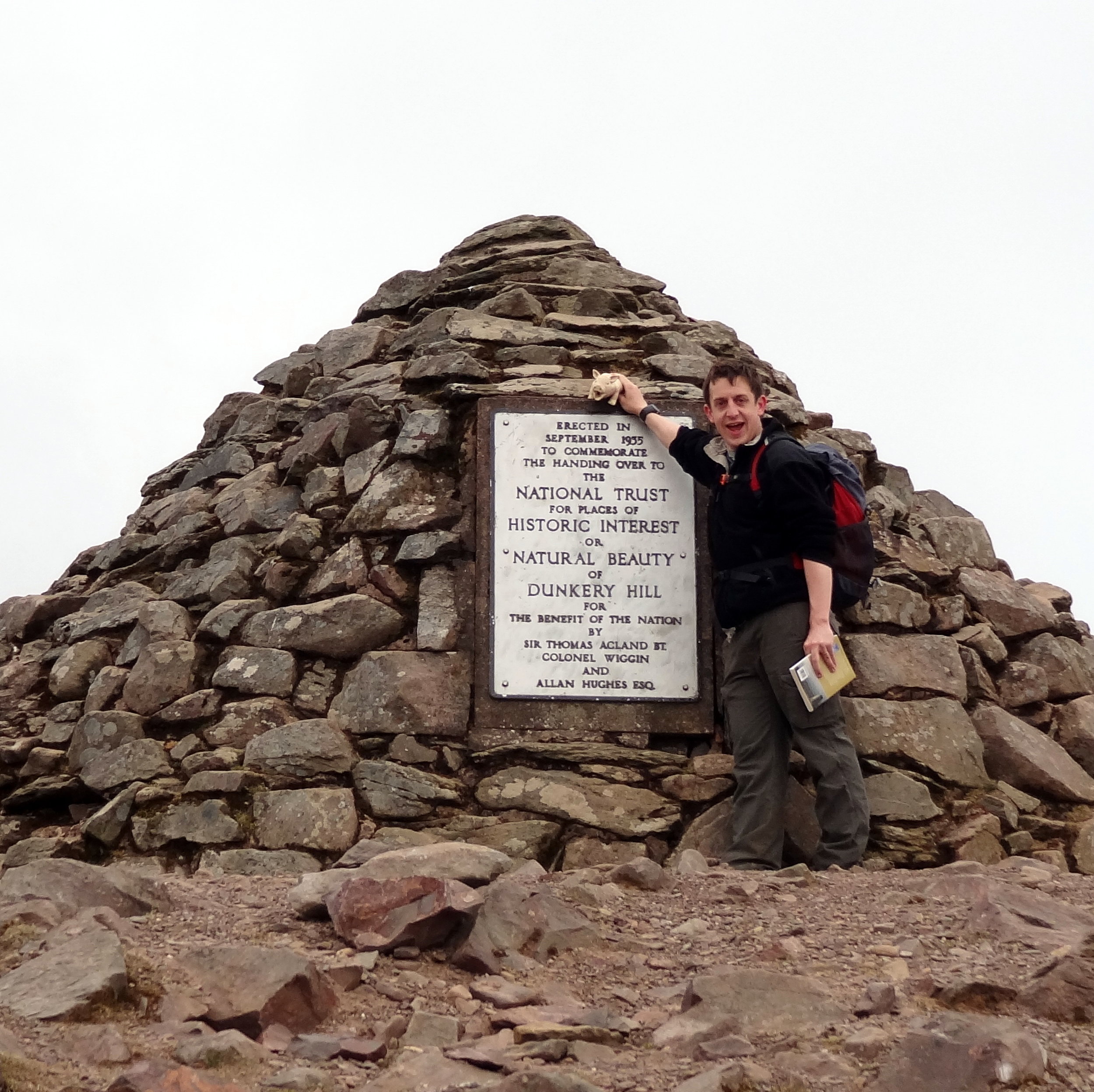
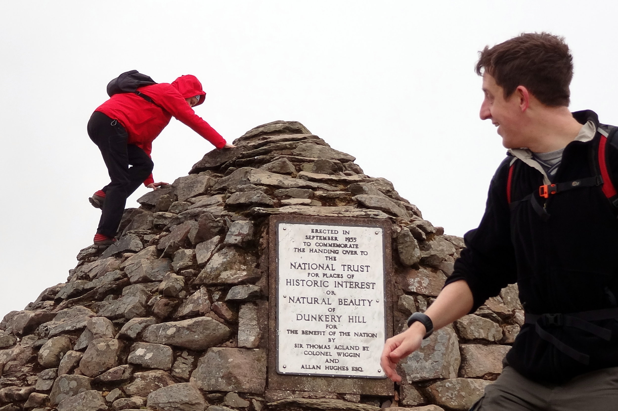
elevation_profile (1).jpg

Dunkery Beacon

Significance: Highest peak in Somerset (Historic County Top), Exmoor National Park High Point
Member of: Marilyn
Parent Peak: High Willhays.
Nearest Higher Neighbour: Werfa
Elevation:
 519m
Date climbed: 21st April 2013
Coordinates: 51.16197°N 3.58736°W

Route Start / End: Dunkery Beacon Parking, Cutcombe, Minehead, TA24 7AT
Route Distance: 2.7 km (1.7 miles)
Route Elevation Change: +/- 120m
Subsidiary tops on route: none
GPX File: get via Buy Me a Coffee
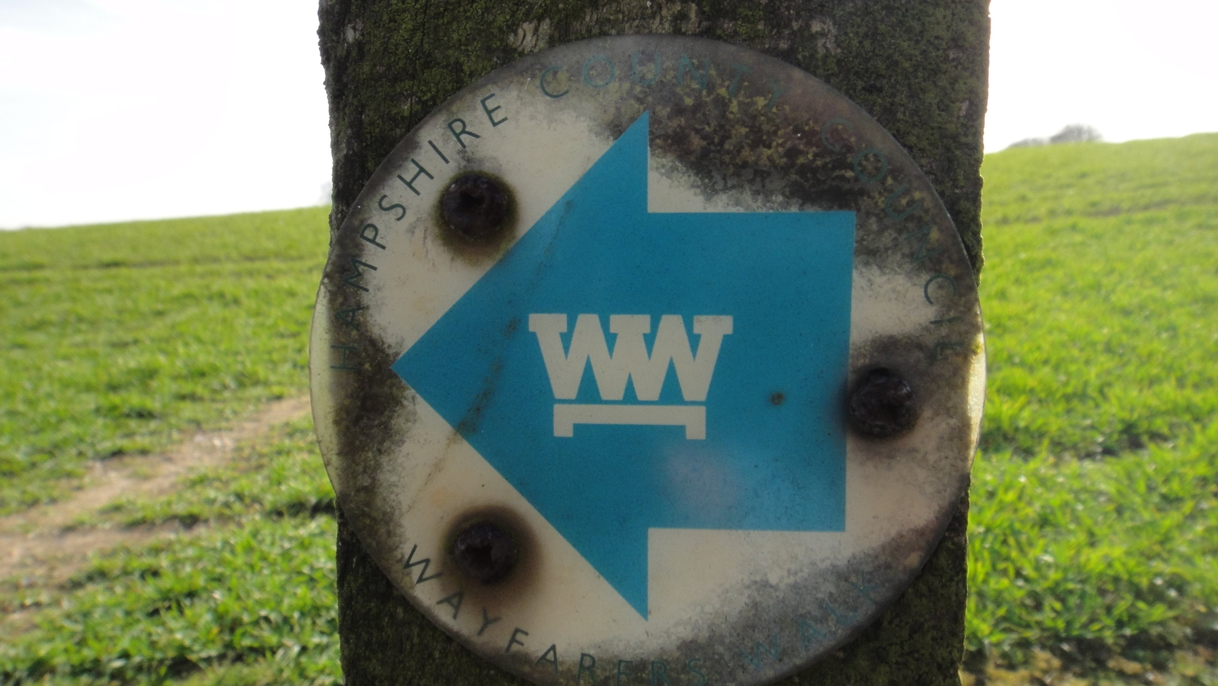
Other routes touched (walk): Macmillan Way West
OS Trig Pillar: TP7321 - Dunkery
Map: OS Explorer OL9: Exmoor
Guidebook: The UK's County Tops (Jonny Muir), Walking the County High Points of England (David Bathurst)
Links: Wikipedia (Somerset), Wikipedia (Dunkery Beacon), Peakbagger, Hillbagging

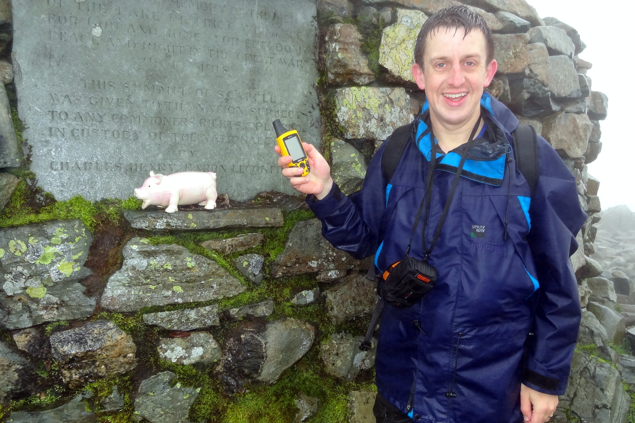
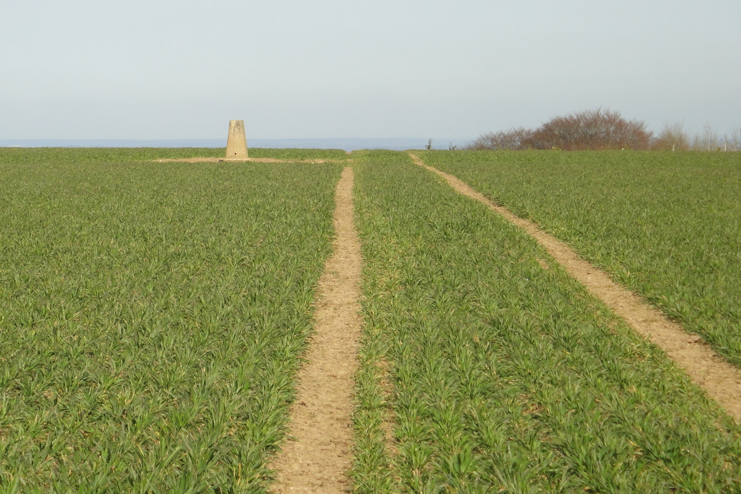
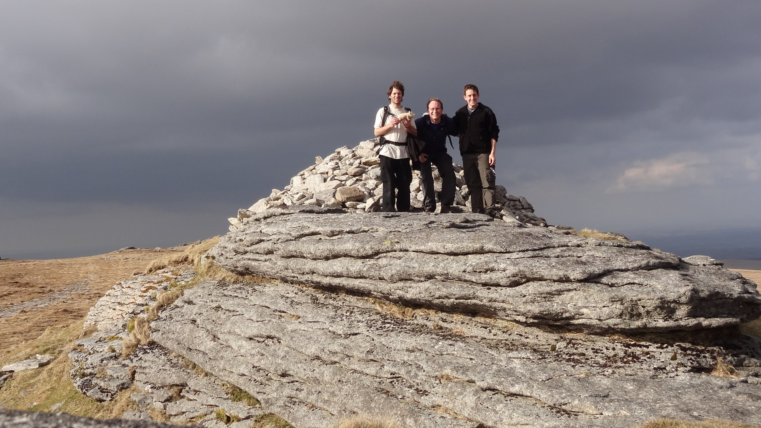
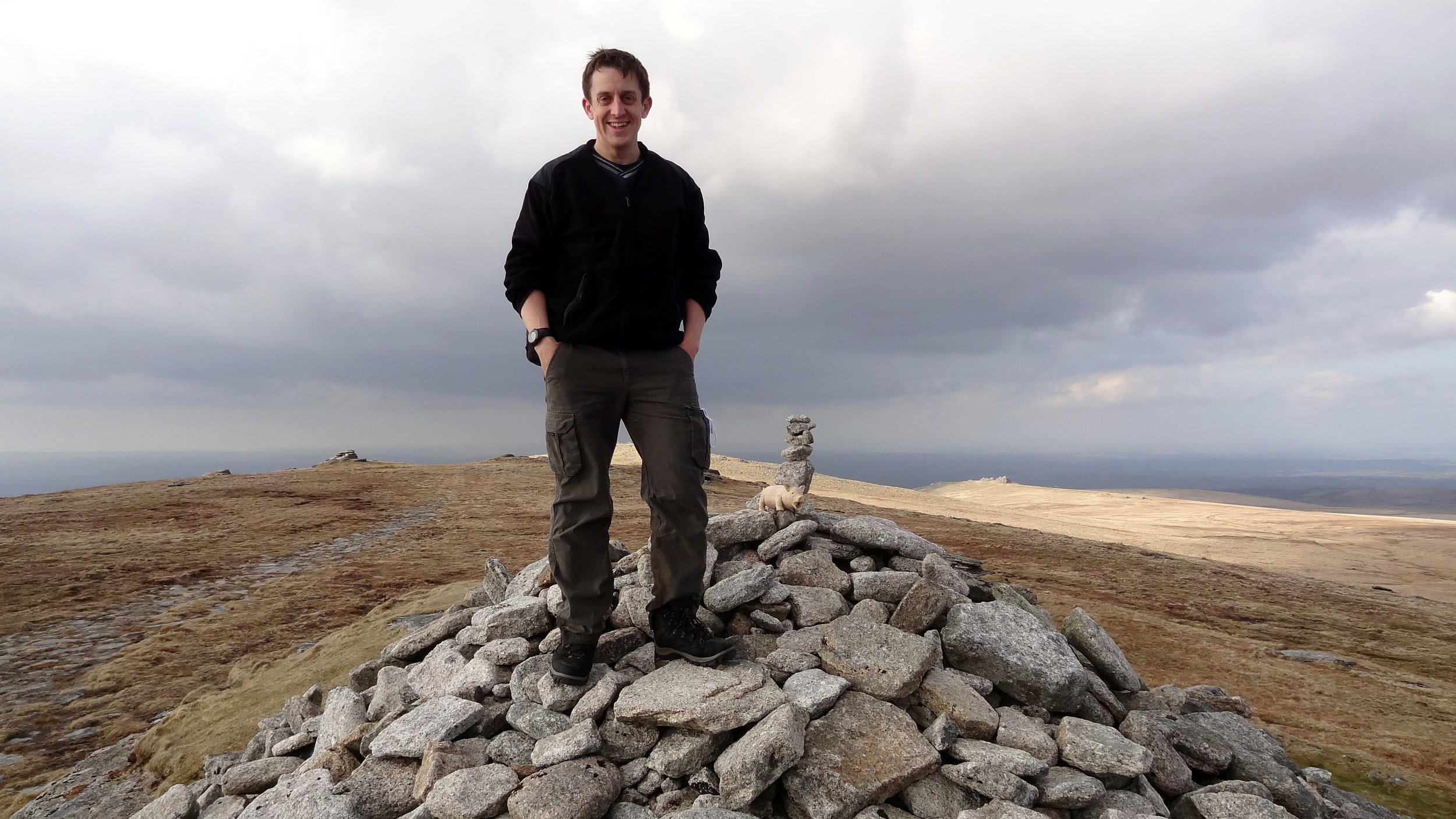
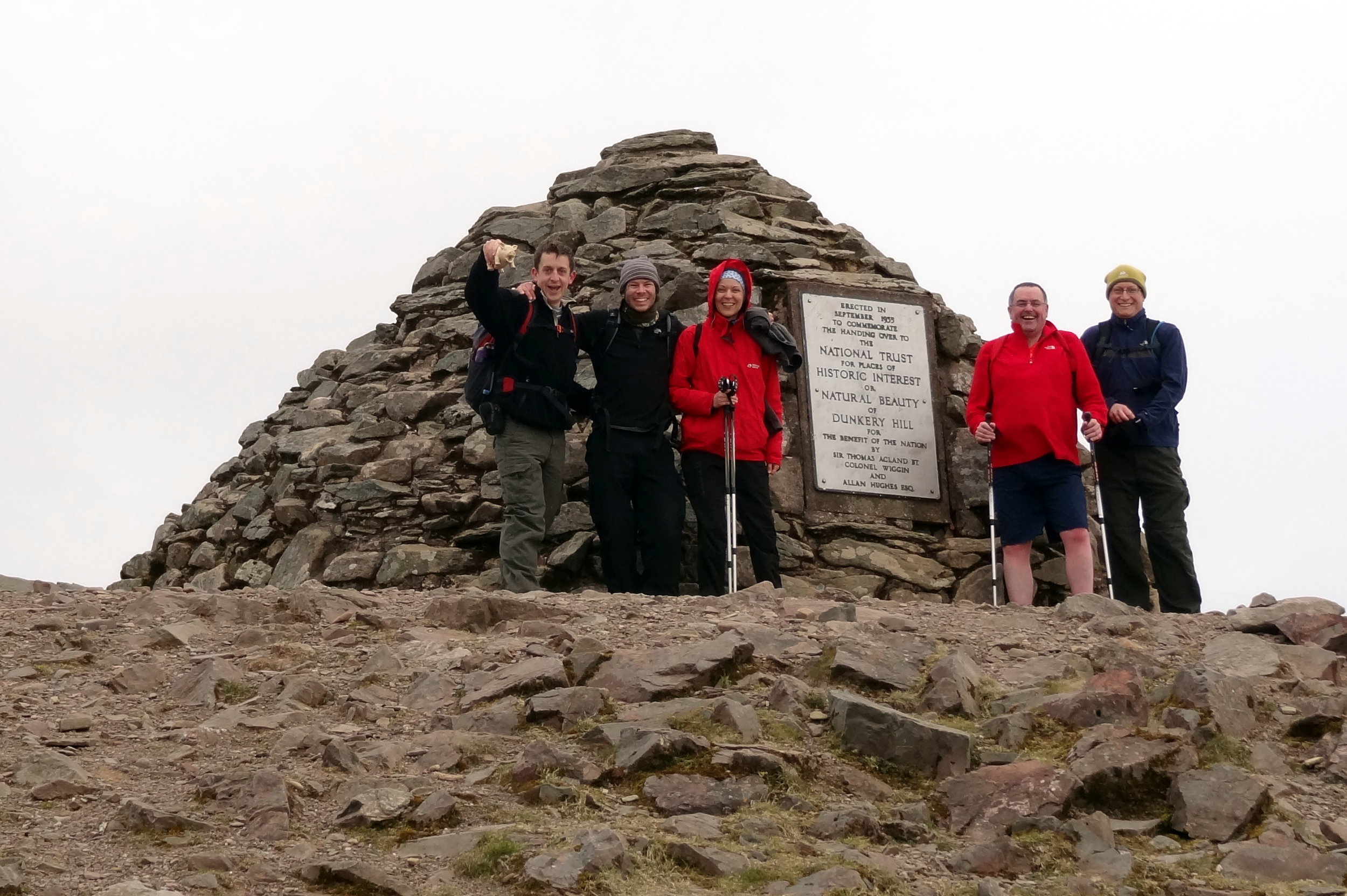
Like Brown Willy, Dunkery Beacon is a quick out and back from a convenient car park. The Trig Pillar at the summit is long gone but it’s been replaced by a massive pile of stones and a plaque commemorating the handover of the hill to the National Trust.

From the car park it's only a 1.5km route to the summit. We made a small circle of it by taking the westerly path up and easterly down. The hill is also on the Macmillan Way so can be bagged on a longer trek
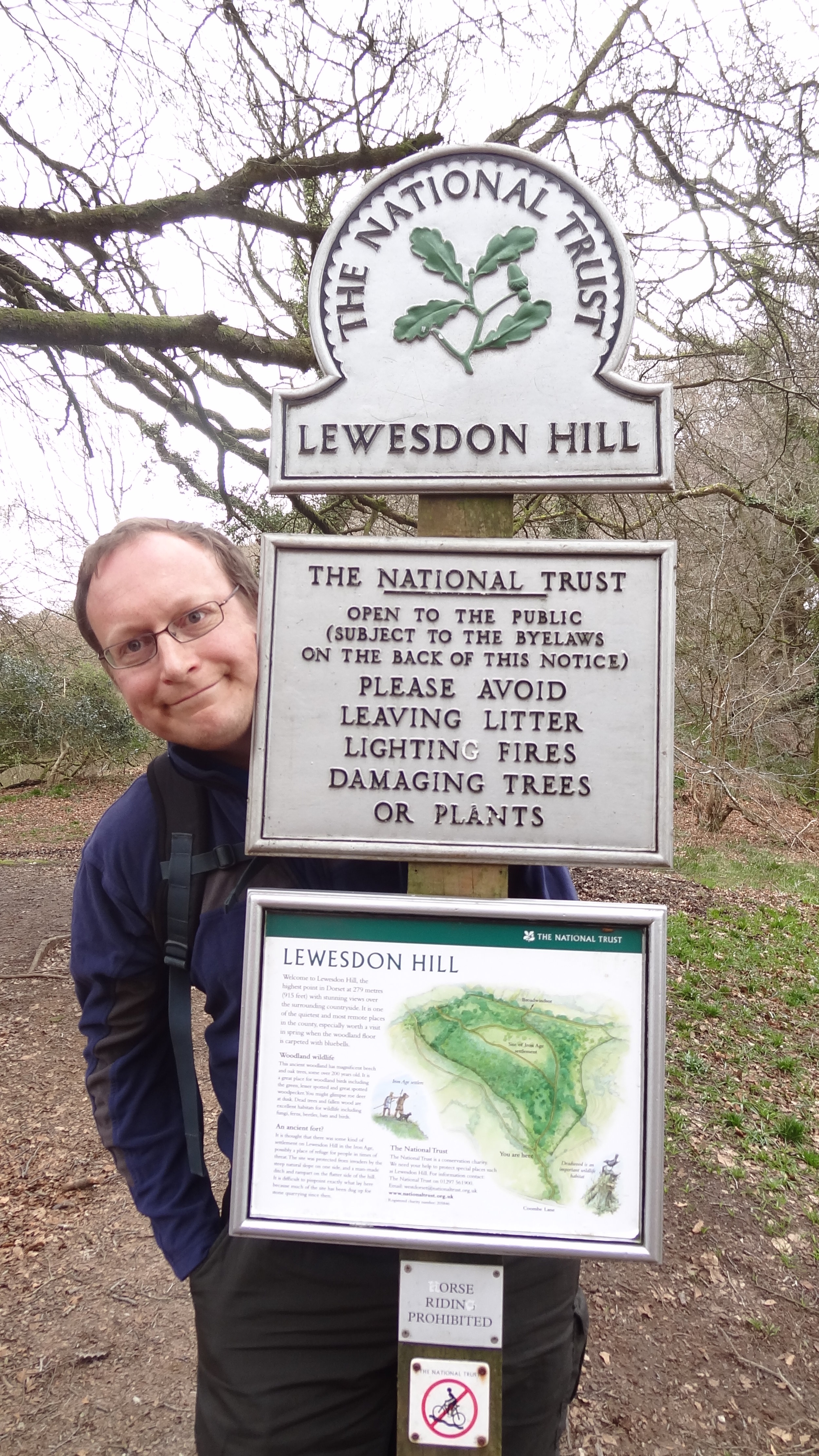

Lewesdon Hill

Significance: Highest peak in Dorset (Historic County Top), Dorset National Landscape High Point
Member of: Marilyn
Parent Peak: Staple Hill (Somerset)
Nearest Higher Neighbour: Staple Hill
Elevation:
 185m
Date climbed: 21st April 2013
Coordinates: 50°48′28″N 2°47′59″W 

Route Start / End: Parking spot on junction of B3162 and Coombe Lane
Route Distance: 2.2 km (1.4 miles)
Route Elevation Change: +/- 112m
Subsidiary tops on route: none
GPX File: get via Buy Me a Coffee
Other routes touched: none
Map: OS Explorer 116: Lyme Regis and Bridport
Guidebook: The UK's County Tops (Jonny Muir), Walking the County High Points of England (David Bathurst)
Links: Wikipedia (Dorset), Wikipedia (Lewesdon Hill), Peakbagger, Hillbagging, National Trust

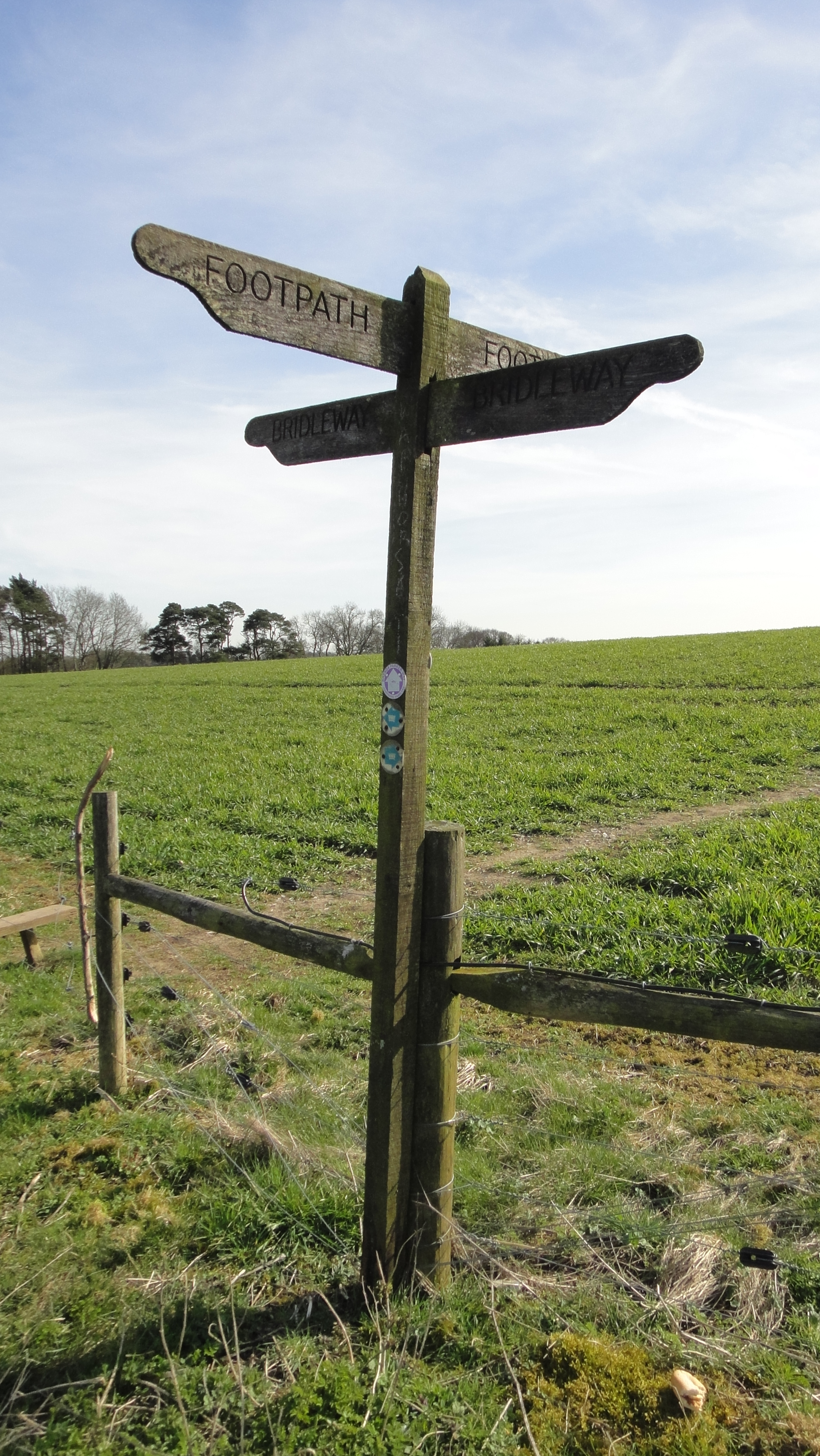
We unintentionally saved the least interesting of the four peaks til last. Lewesdon Hill, the high point of Dorset is most easily done on a short out-and-back walk from parking spaces on the B3162 near Bucks Head Cottage. From here walk ~200m along Coombe Lane then take a footpath on the right. The summit is approximately 1km from where you parked. We didn't find anything of interest to mark the summit.

Slightly further to the north is the Wessex Ridgeway which gives you options to bag this hill as a part of a more interesting longer distance trek.


Other High Points In Cornwall

  • Telegraph Tower, Higher Newford (51m) Isles of Scilly Administrative County High Point: Peakbagger / Hillbagging

Other High Points In Devon

Other High Points In Dorset

Other High Points In Somerset


Cycling The London Loop
Concrete barges at Rainham

Concrete barges at Rainham


The London Loop is a ~130-mile circular walking route of outer London. Although intended for walkers only, much of it is cyclable with just a few diversions from the main path. I completed it in a 2-day micro-adventure back in 2013. Please note that both the London Loop and Capital Ring were designed for walking. Much of both routes can be cycled as there’s many sections on cycle routes and roads. Some sections are on footpaths that should not be cycled so be prepared to find alternative routes around these.


Day 1: Southern Section: Harefield to Dartford

Start: The Coy Carp, Copperhill Lane, Harefield, Uxbridge UB9 6HZ
Finish: Grotty hotel near the Dartford Crossing, Kent
Distance:
110 km (68 miles)
Elevation Change: + 1.046m / - 1,082m. Net -36m
GPX File: get via Buy Me a Coffee
Other Routes Touched (Walk): Colne Valley Trail, Hillingdon Trail, Grand Union Canal Towpath, Celandine Route, Shakespeare’s Way, Beeches Way, Thames Path, Thames Down Link, Hogsmill Valley Walk, Town and Down Circular Walk, Sutton Countryside Walk, Vanguard Way, Greenwich Meridian Trail, Cray Riverway, Darent Valley Path
Other Routes Touched (Cycle): NCN 1, 125, 20, 21, 232, 4, 6, 61
Guidebook: The London Loop: Recreational Path Guide by Colin Saunders
Maps:
-
OS Explorer Map (172) Chiltern Hills East
- OS Explorer Map (160) Windsor, Weybridge & Bracknell
-
OS Explorer Map (161) London South, Westminster, Greenwich, Croydon, Esher & Twickenham
- OS Explorer Map (162) Greenwich and Gravesend 


Day 2: Northern Section: Dartford to Harefield

Start: Grotty hotel near the Dartford Crossing, Kent
Finish: The Coy Carp, Copperhill Lane, Harefield, Uxbridge, UB9 6HZ
Distance: 92 km (57 miles)
Elevation Change: + 967m / - 962m. Net +5m
GPX File: get via Buy Me a Coffee
Other Routes Touched (Walk): Havering Green Ways, Greenwich Meridian Trail, Lea Valley Walk, New River Path, Pymmes Brook Trail, Colne Valley Trail, Hillingdon Trail, Grand Union Canal Towpath
Other Routes Touched (Cycle): NCN 1, 13, 136, 3, 6, 61
Guidebook: The London Loop: Recreational Path Guide by Colin Saunders
Maps:
-
OS Explorer Map (173) London North, The City, West End, Enfield, Ealing, Harrow & Watford
- OS Explorer Map (172) Chiltern Hills East

You can't cycle over the Dartford Bridge or under the tunnel but there is a free service that drives you and your bikes through. There's a free phone at the entrance to the tunnel on either side.


The London Loop and Capital Ring

London Loop in Blue, Capital Ring in Red. Base map from OpenStreetMap

London Loop in Blue, Capital Ring in Red. Base map from OpenStreetMap


More London posts


Walking Kilimanjaro by the Lemosho Route
Kili Lisa 15-02-2013 06-14-30.jpg

Day 1: Lemosho Glades to Lemosho Forest Camp

Date: February 8th 2013
Start:
Parking at end of dirt road, Lemosho Glades, ~2,230m elevation
Finish:
Lemosho Forest Camp, Mti Mkubwa, ~2,650m elevation
Distance: 4.7 km (2.9 miles)
Elevation change: +422m / -5m. Net +418m
GPX File: get via Buy Me a Coffee
Other Routes Touched (Walk): Northern Circuit
Other Routes Touched (Cycle): None


Day 2: Lemosho Forest Camp to Shira One Camp

Date: February 9th 2013
Start: Lemosho Forest Camp, Mti Mkubwa, ~2,650m elevation
Finish: Shira One Camp, ~3,500m elevation
Distance: 9 km (5.6 miles)
Elevation change: +890m / -83m. Net +807m
GPX File: get via Buy Me a Coffee
Other Routes Touched (Walk): Northern Circuit
Other Routes Touched (Cycle): None


Day 3: Shira One Camp to Shira Hut

Date: February 10th 2013
Start: Shira One Camp, ~3,500m elevation
Finish: Shira Hut, ~3,840m elevation
Distance: 7.4 km (4.6 miles)
Elevation change: +386m / -3m. Net +383m
GPX File: get via Buy Me a Coffee
Other Routes Touched (Walk): Northern Circuit, Shira Route
Other Routes Touched (Cycle): None


Day 4: Shira Hut to Barranco Camp

Date: February 11th 2013
Start: Shira Hut, ~3,840m elevation
Finish: Barranco Camp, ~3,900m elevation
Distance: 9.8 km (6.1 miles)
Elevation change: +732m / -651m. Net -81m
GPX File: get via Buy Me a Coffee
Other Routes Touched (Walk): Machame Route,
Other Routes Touched (Cycle): None

elevation_profile.jpg

Day 5: Barranco Camp to Karanga Camp

Date: February 12th 2013
Start: Barranco Camp, ~3,900m elevation
Finish: Karanga Camp, ~4,000m elevation
Distance: 4.9 km (3.0 miles)
Elevation change: +335m / -279m. Net +56m
GPX File: get via Buy Me a Coffee
Other Routes Touched (Walk): Umbwe Route, Machame Route,
Other Routes Touched (Cycle): None


Day 6: Karanga Camp to Barafu Camp

Date: February 13th 2013
Start: Karanga Camp, ~4,000m elevation
Finish: Barafu Camp, ~4,600m elevation
Distance: 3.8 km (2.4 miles)
Elevation change: +593m / -0m. Net +593m
GPX File: get via Buy Me a Coffee
Other Routes Touched (Walk): Umbwe, Machame, Mweka
Other Routes Touched (Cycle): None


Day 7: Barafu Camp to Millenium Camp via Ulhuru Peak

Date: February 14th 2013
Start: Barafu Camp, ~4,600m elevation
Finish: Millenium Camp, ~3,800m elevation
Distance: 13.6 km (8.5miles)
Elevation change: +1,217m / -2,062m. Net -845m
GPX File: get via Buy Me a Coffee
Other Routes Touched (Walk): Umbwe, Machame, Mweka, Northern Circuit, Rongai, Marangu
Other Routes Touched (Cycle): None


Day 8: Millenium Camp to Mweka

Date: February 15th 2013
Start: Millenium Camp, ~3,800m elevation
Finish: Mweka, ~1,650m elevation
Distance: 11.5 km (7.1 miles)
Elevation change: +0m / -2,142m. Net -2,142m
GPX File: get via Buy Me a Coffee
Other Routes Touched (Walk): Mweka
Other Routes Touched (Cycle): None


The Complete Route

Each colour represents 1 day from North-West (red) to South-East (blue)


Photos by Richard Gower, Brian Gatt, Simon Livings, Lisa Zardoni, Anna Mansley and Kevin Doble

Pavis Wood and Haddington Hill: Hertfordshire & Buckinghamshire County Tops
DSC03192.jpg

Pavis Wood

Significance Highest peak in Hertfordshire (Historic County Top)
Member of: N/A
Parent Peak: Haddington Hill
Nearest Higher Neighbour: Haddington Hill
Elevation: 248m
Coordinates: 51°46′20″N 0°40′52″W
Links: Wikipedia (Hertfordshire), Wikipedia (Pavis Wood), Peakbagger, Hillbagging

Haddington Hill

Significance Highest peak in Buckinghamshire (Historic County Top), Chiltern Hills National Landscape High Point
Member of: Marilyn
Parent Peak: Cleeve Hill
Nearest Higher Neighbour: Pilot Hill
Elevation:
 267m
Coordinates: 51°46′18″N 0°42′42″W
Links: Wikipedia (Buckinghamshire), Wikipedia (Haddington Hill), Peakbagger, Wendover Woods

For both peaks:

Date climbed: 19th January 2013
Route Start / End: Wendover Woods Car Park, Upper Icknield Way, Aston Clinton, HP22 5NQ
Distance: 10.2 km (6.3 miles)
Elevation change: +/- 157m
Subsidiary tops on route: none
GPX File: get via Buy Me a Coffee
Other routes touched (walk): The Ridgeway, Wendover Woods Firecrest Trail
Other routes touched (cycle): Harding Route
Cafe on route: Wendover Woods Cafe
Map: OS Explorer Map (181) Chiltern Hills North
Guidebook: The UK's County Tops (Jonny Muir), Walking the County High Points of England (David Bathurst)


Other High Points In Buckinghamshire


Scafell Pike: Cumberland County Top
Track to Scafell Pike from New Dungeon Ghyll Hotel

Track to Scafell Pike from New Dungeon Ghyll Hotel


Significance: Highest peak in Cumberland (Historic CT), Cumbria (Ceremonial CT), Lake District National Park High Point, England Country Top
Member of: Marilyn, Hewitt, Hardy, Wainwright, Nuttall
Parent Peak: Snowdon. NHN = Carnedd Llewelyn
Elevation: 978m
Date climbed: 22nd May 2005 and July 29th 2012
Coordinates: 54.4542° N, 3.2116° W
Route Start / End: New Dungeon Ghyll Hotel, Ambleside, LA22 9JX
Route Distance: 22 km (13.7 miles)
Route Elevation Change: +/- 1,062m
Subsidiary tops on route: Esk Pike, Broad Crag
GPX File: get via Buy Me a Coffee
Other routes touched (walk): Cumbria Way
Other routes touched (cycle): N/A
OS Trig Pillar: TP5828 - Sca Fell
Map: OS Explorer OL6: The English Lakes - South Western area and OS Landranger 90: Penrith & Keswick
Guidebook: The UK's County Tops (Jonny Muir), Walking the County High Points of England (David Bathurst)
Links: Wikipedia (Cumberland), Wikipedia (Scafell Pike), Peakbagger, Hillbagging


I can’t remember how many times I’ve done Scafell Pike. It was probably 4 times, the first 2 being in Venture Scouts a long time before I started obsessively tracking everything. The most recent two times were part of 36-hour unofficial Three Peaks Challenges. It was the most recent ascent that will be the most memorable and the reason why I’ll never do Scafell Pike again.

It was my second trip there as a part of a 36 hour 3 Peaks Challenge. Ben Nevis went well and we got to the Scafell Pike start point early. Having done the mountain a few times before I chose the Old Dungeon Ghyl route for a change.

The plan was to follow the Cumbria Way from Old Dungeon Ghyl, then approach the summit from the east via Angle Tarn, Esk Haus and Broad Crag.

This was in the days before I meticulously planned every route on RideWithGPS and follow it by iPhone. Back then I had the OS Explorer map and a basic Garmin device that jus had the coordinates of the summit. Rather than following the trail heading north-west from Angle Tarn I took a path to the south-west to Esk Pike.

It was at the top of Esk Pike that I figured that we weren’t in the right place. Visibility was very low but I managed to find a clear spot to get a view of the area. Yes, we we’re definitely in the wrong place and had accidentally bagged an extra summit. Normally I would have styled it out and pretended that it was all part of the planned route. My prolonged look of confusion and map studying gave the game away and it was obvious that this wasn’t part of the plan.

We descended the “Bonus Peak”, got back on track and started the proper ascent to Scafell Pike. Once we were past the cloud line it was properly grim. Visibility stayed low and there was a constant drizzle. Finally we got to the summit, took a few photos and quickly turned around to descend. My first ascent of Scafell Pike had been a pleasant walk on a clear summer’s day. This wasn’t that day.

By the time we returned to the car park at the bottom we’d been out for over 9 hours. We had only planned for 5 hours and we were going to do Snowdon later in the day. After our Scafell adventure nine of us wanted to see another mountain that day. We ditched the idea of going to Snowdon and headed to Chester for a curry, some beers and a lot of post-hike analysis of my navigation skills.


Ben Nevis: Inverness-shire County Top
View from the Pony Track

View from the Pony Track


Also known as: Beinn Nibheis
Significance: Highest peak in Inverness-shire (Historic County Top), Highland (Council Top), Mainland Great Britain/Scotland/UK Country Top, Ben Nevis and Glen Coe NSA High Point
Member of: Munro, Marilyn
Parent Peak: N/A.
Nearest Higher Neighbour: Melderskin, Norway
Elevation: 1,344m
Date climbed: 21st May 2005 and July 28th 2012
Coordinates: 56.7969° N, 5.0036° W

Route Start / End: Ben Nevis Inn, Achintee Rd, Achintee, Fort William, PH33 6TE
Route Distance: 15.5 km (9.6 miles)
Route Elevation Change: +/- 1,306m
Subsidiary tops on route: none
GPX File: get via Buy Me a Coffee
Other routes touched: none
OS Trig Pillar: TP1289 - Ben Nevis
Map: OS Explorer 392: Ben Nevis and Fort William
Guidebook: The UK's County Tops (Jonny Muir), Cicerone Guide: Ben Nevis and Glen Coe
Links: Wikipedia (Inverness-shire), Wikipedia (Ben Nevis), Peakbagger, Hillbagging


I’ve completed two ascents of the UK’s tallest mountain. Both were on unofficial self-organised Three Peaks Challenges. We weren’t bothered by doing it in the normal 24 hour window, so did it in a more leisurely 36 hours. This allows for an overnight stay and removes the need for a support driver.

On my first attempt we completed the challenge in a whisker under the 36 hours. We stayed in Fort William on the night before, did Ben Nevis in the morning, lunch in the Ben Nevis Inn, and drove to a hotel near Scafell Pike. On the second day we did an early ascent of Scafell Pike, then drove to Snowdonia for the Snowdon ascent.

My second Three Peaks attempt, with a different group, didn’t go quite so well. We ended up doing four peaks, but not the ones that we intended. I’ll save that story for the Scafell Pike post.

Unless you’re particularly adventurous and very experienced there’s one route up and down a Ben Nevis: The Pony Track. It’s a safe route with little navigation required. On both of my ascents the visibility at the top was extremely poor and the return from the summit to the track wasn’t obvious. Yes, it’s a relatively easy climb but don’t beget caught out and do all the usual mountain prep and precautions.


The Rob Roy Challenge

Glen Ogle Viaduct (official event photo)

The Rob Roy Challenge was a run/bike event along the Rob Roy Way between Drymen and Kenmore in Scotland. I completed it with a group of friends in 2012 as a new challenge, having done several London to Paris cycle rides together. I’m writing this 10 years later so my memory of the details is a little hazy. However, from the many photos that we took it seemed like we had a lot of fun on a very cloudy and drizzly day. So far it’s the only mixed run/cycle event that I’ve done although I’m keen to do more.

Note that my Garmin didn’t save the GPX track so I had to recreate the route on RideWithGPS. The actual distances and elevations may have been slightly different to what I have below.


Section 1: The Run

Start: Drymen Road Cottage Car Park, 4 miles north of Drymen on the Rob Roy Way
Finish: Wheels Cycling Centre, Invertrossachs Road, Callander, FK17 8HW
Distance: 23.6 km (14.6 miles)
Elevation change: +338m / -363m (Net -25m)
Section finish time: 2 hours 55 minutes
Other routes touched (walk): Rob Roy Way, Mary Queen of Scots Way, Coilhallan Wood Trail
Other routes touched (cycle): NCN 7, EV1


Section 2: The Cycle

Start: Wheels Cycling Centre, Invertrossachs Road, Callander, FK17 8HW
Finish: Field on the south side of Loch Tay, west of Kenmore
Distance: 64.4 km (40 miles)
Elevation change: +827m / -756m (Net -71m)
Section finish time: 5 hours 23 minutes
Other routes touched (walk):
Rob Roy Way, Coilhallan Wood Trail, Great Trossachs Path, Three Saints Way
Other routes touched (cycle): NCN 7, EV1


Total Route

Date completed: 23rd June 2012
Distance: 88.5 km (55 miles)
Elevation change: + 1,201m / -1,156m (Net +45m)
Finish time: 8 hours 18 minutes
GPX File
: get via Buy Me a Coffee
Links: Rob Roy Way, Drymen, Aberfoyle, Callander, Balquhidder, Killin, Kenmore


Walbury Hill and Pilot Hill: Berkshire & Hampshire County Tops
DSC07823.jpg

Walbury Hill

Significance: Highest peak in Berkshire (Historic County Top), North Wessex Downs National Landscape High Point
Member of: Marilyn, Hardy
Parent Peak: Beacon Batch
Nearest Higher Neighbour: Cleeve Hill
Elevation: 297m
Coordinates: 51°21′08″N 1°27′57″W
OS Trig Pillar: TP0302 - Inkpen
Links: Wikipedia (Berkshire), Wikipedia (Walbury Hill), Peakbagger, Hillbagging

Pilot Hill

Significance Highest peak in Hampshire (Historic CT)
Member of: N/A
Parent Peak: Walbury Hill.
Nearest Higher Neighbour: Walbury Hill
Elevation: 286m
Coordinates:  51°20′19″N 1°25′48″W
OS Trig Pillar: TP5448 - Pilot
Links: Wikipedia (Hampshire), Wikipedia (Pilot Hill), Peakbagger, Hillbagging

For both peaks:

Date climbed: 25th March 2012
Route Start / End: Combe Gibbett & Walbury Hill Car Park, Combe, Hungerford, RG17 9EH
Route Distance: 9.9 km (6.1 miles)
Route Elevation Change: +/- 150m
Subsidiary tops on route: none
GPX File: get via Buy Me a Coffee
Other routes touched (walk): Wayfarers Walk, Brenda Parker Way, Test Way
Other routes touched (cycle): NCN 246
Map: OS Explorer 157 - Marlborough & Savernake Forest
Guidebook: The UK's County Tops (Jonny Muir), Walking the County High Points of England (David Bathurst)


The high points of the Historic Counties of Berkshire and Hampshire can be bagged in one short walk. This was the first trip to intentionally bag County Tops, although I had already completed Ben Nevis, Scafell Pike and Snowdon before.

From the Combe Gibbett & Walbury Hill Car Park follow the Wayfarers Walk in a north-westerly direction for 1km. At a path junction take a left and follow the path in a south-easterly direction for 0.5 km to the summit of Walbury Hill

Leave the summit by continuing along the path which will soon curve to the north-east. The path will re-join the Wayfarers Walk ~400m before the car park. Take a right back onto the Wayfarers Walk and follow it for 1.7 km to a path junction. Take the path on the right and follow it as it snakes through Eastwick Copse to the summit of Pilot Hill. Note that the Trig Pillar that marks the summit is in a farmer's field rather than on the path so you'll need to approach it carefully.

From the summit continue along the path until it returns to the Wayfarers Walk. Take a left onto the Wayfarer's Walk and follow it back to the car park.


Other High Points In BERKSHIRE


Other High Points In Hampshire


Adventures in Food: Dong Jiang Seafood Restaurant, Guangzhou, China

A major benefit of infrequent business trips to Guangzhou was the variety of food that I'd never seen anywhere else. My Chinese colleagues soon realised that I was one of the few western visitors that would try any of the food. I was sure they were trying to see how far they could push me. The jellyfish starter and the fish-eye soup were a particular favourite in the cafeteria near our office. 

One night I was taken to the Dong Jiang Seafood restaurant in the city centre. I'm writing this a few years on so I can't remember exactly where it was and there seems to be several restaurants in the city with the same name.  The place was huge: 5 floor, each large enough to hold several hundred diners. You could either pick from the menu, which helpfully showed photos of the animals that would be your dinner, or go down to the market hall on the ground floor. The market hall had stalls and buckets of everything you could eat from chicken testicles, bees, shark and a counter with somebody hacking into a whole crocodile. 

I was determined to have a snake, so I was taken over to the large buckets. I pointed at one that I liked the look of, not really knowing how to select good snake. A member of staff hooked the live snake, popped it in a bag, weighed it and took it to the kitchen. About 30 minutes later, it was presented on my table in segments, following a duck-tongue starter. There's an old cliche that everything tastes like chicken, and the snake actually did.

I like to think I'd eat anything as a cultural experience whilst on my travels. Snake actually felt a bit tame against the stuff I saw in the market hall. The craziest thing was the Canadian Geoduck Clam which looked like something from another planet. Next time I visit will be the true test of whether I'd really try anything.

 
Richard gowerFood, ChinaComment
Cycling Lake Balaton, Hungary
Sunset view to the north coast from Balatonszárszó

Sunset view to the north coast from Balatonszárszó


Lake Balaton is the largest lake in Central Europe. Mostly unknown in the west, it was an important Communist-era holiday destination for Eastern Bloc families who couldn't travel outside the region. Once thriving resorts are now decaying, waiting for the economic regeneration of the capital cities.  

My wife grew up in a small village on its banks and has fond memories of swimming at the village beach in the summer. We go back there at least once a year to visit family and travel around the area. It was only a matter of time before the 200km round-Balaton cycle route would lure me onto it.

I decided on a 2-day trip, using the Tihany Ferry as a means to get me home on the middle night. This gave me an 87m/140km Day 1 covering the south-west and a 48m/77km Day 2 on the north-east.

The route is really well sign-posted and difficult to get lost. There's a lot of nice lake-side towns along the route for stops. With a lot more time, a 4 day trip with overnight stops along the way would have been ideal. Even this 2 Day trip with an early start made for a scenic summer ride.


Day 1: The South West

Start & Finish: Szántód Ferry Station, Szántód, Tihany u. 9, 8622 Hungary
Distance:
140 km (87 miles)
Elevation change: +/- 815m
GPX File: get via Buy Me a Coffee
Other Routes Touched (Walk): National Blue Trail (Országos Kéktúra), Balatonszárszó Vers Utja (Poetry Trail), Balatonszárszó megújulás útján (Trail of Renewal), Tihany Legends Trail
Other Routes Touched (Cycle): 7A

Elevation Day 1: south west

Elevation Day 1: south west


Day 2: The North East

Start & Finish: Szántód Ferry Station, Szántód, Tihany u. 9, 8622 Hungary
Distance:
77 km (48 miles)
Elevation change: +/- 610m
GPX File: get via Buy Me a Coffee
Other Routes Touched (Walk): Maria ut Vaszoly Balatonalmádi, Tihany Legends Trail
Other Routes Touched (Cycle): 7A, 24

Elevation Day 2: north east

Elevation Day 2: north east


The Complete Route

Cycling the NCN Route 4 from Cardiff to Bath
NCN $ from Bristol to Bath (obviously)

NCN $ from Bristol to Bath (obviously)


Start: The Celtic Ring, Cardiff, Wales
Finish:
Pulteney Bridge, Bridge Street, Bath, BA2 4AT
Planned Distance: 140 km / 87 miles. Actual Distance: 148 km / 92 miles
Planned Elevation Change: +902m / - 883m / Net +19m. Actual Elevation Change: +1,937m / -1,786m / Net + 151m
GPX File: get via Buy Me a Coffee
Other Routes Touched (walk): Taff Trail, Rhymney Valley Ridgeway Walk, Rhymney River Circular, Usk Way, Wales Coast Path, Severn Way, Bristol Triangular City Walk, River Avon Trail, The Dramway, Monarch’s Way
Other Routes Touched (cycle): NCN 8, 41, 410, 42
Links: Sustrans: NCN 8, Sustrans NCN 4, Wikipedia: Newport transporter Bridge


This was meant to be an easy one. My mate Charlie and I had recently completed the NCN 8 from Holyhead to Cardiff plus the NCN 4 from Bath to London. The plan for this one was to connect those 2 previous adventures by completing the NCN 4 section from Cardiff to Bath. This was in the days before we had iPhones and GPS routes to follow. We were familiar with the great signage of the NCN routes, so it was highly unlikely that we would get lost. Right.

The plan was simple: start at Cardiff Harbour, take the NCN 8 North to Nantgarw then pick up the NCN 4 and follow it to Bath. What actually happened is that we found the NCN 4 junction but we took a wrong turn after only 1 km from Nantgarw and started heading South. I was convinced that if we continued heading East we would either find the cycle route again or come to a town where we could re-orientate ourselves. After 30 minutes we entered the outskirts of a large town. I was feeling that my plan was working as it must be Newport. It was only when I saw the roof of the Millennium Stadium that I realised that the plan had gone horribly wrong. We were back in Cardiff having spent a couple of hours on a futile 35 km loop.

Having wasted 2 hours and now back at the start with the whole trip ahead of us we needed a Plan B. Rather than heading back up to the NCN 4 via the 8 we took busy main roads East from Cardiff. It wasn't pretty but it was easy and fast cycling. We picked up the NCN 4 in Maeglas near Newport and we were back on track. This turned out to be a good place to rejoin as we could visit the Newport Transporter Bridge.

The rest of the trip was much more straightforward. The NCN 4 signage is great and we managed to follow it without screwing up like earlier in the day. This is an excellent route with the Severn Bridge crossing and the Bristol& Bath Railway Path as particular highlights.

Planned Route

Actual Route

map+-+NCN+4+Cardiff+To+Bath+-+Fail.jpg

Lôn Las Cymru: Cycling The NCN Route 8 Wales End To End

Cycling the NCN route 8, the Welsh End to End, was my alternative Stag Do. Although I had a more traditional one, my interests at the time were returning to the outdoors and this would end up being more memorable. It was a four day, three person adventure through the the heart of Wales.

The route is also know by its Welsh name, Lôn Las Cymru, which means Wales' Blue Lane. I'd only heard of this name in the last few years so I assume it adopted it since our trip. Whatever the name, it's a great North-South end to end as an alternative to, or warm up for the much longer LEJOG.

Unlike LEJOG the far ends of the route are easily accessible by train. We were travelling up from South East England and took a train from London Euston to Crewe then the North Wales Coast line to Holyhead. The return trip from Cardiff is even more straightforward with many options for trains heading east into England.

Once a busy port town for ferries to Dublin, Holyhead has lost its way in recent years. There's not much reason to stop in town now if you're taking the ferry. We were just staying one night but quickly ran out of things to do. It was a few years before I'd started my UK County Top obsession. If I'd known at the time it would have been a short cycle to Holyhead Mountain to bag the highest point in Anglesea. I returned a few years later to claim it on a tour of the North Wales County Tops.

After a good night's sleep we set off early to find the start of the route and make our way south. Splitting the trip into 4 days gives you enough time to see the country and get enough miles in. It also nice splits into 4 distinctly themed days.

Day 1 is beautiful, cutting through the heart of Anglesea, over the Menai Bridge and across the top of the Llyn Peninular. By contrast, Day 2 is hilly with more dramatic scenery as you curve round the south western edge of the Snowdonia National Park. Day 3 is a gentler descent through mid-Wales through some stunning countryside often overlooked by tourists. Day 5 is the Grand Finale, tracking the Taff Trail through the Breacon Beacons National Park, through the valleys to Cardiff Bay.

For a more detailed description of the route I recommend the section in Big Rides (look out for my own Day 3 photo on page 76).


Day 1: Holyhead To Tremadog

Start: NCN8 Sign on Prince of Wales Road, Holyhead
Finish:
Ty Newydd, 30 Dublin Street, Tremadog, LL49 9RH
Distance: 108 km (67 miles)
Elevation change: +941m / - 945m / Net -4m
GPX File: get via Buy Me a Coffee
Other Routes Touched (Cycle): Giach Anglesey Cycle Path, Lôn Las Cefni,
Other Routes Touched (Walk): Isle of Anglesey Coastal Path, Wales Coast Path, Llŷn Coastal Path,
OS Map(s):
- OS Explorer 262 Anglesey West
- OS Explorer Map (263) Anglesey East
- OS Explorer OL17 Snowdon & Conwy Valley
- OS Explorer Map OL18 Harlech, Porthmadog & Bala/Y Bala
Links: Anglesey, Holyhead, Llanfair­pwllgwyngyll­gogery­chwyrn­drobwll­llan­tysilio­gogo­goch, Menai Bridge, Tremadog

elevation_profile.jpg

Day 2: Tremadog To Llangurig

Start: Ty Newydd, 30 Dublin Street, Tremadog, LL49 9RH
Finish:
Plas Y Bwlch, Llangurig, Nr Llanidloes, SY18 6RT
Distance: 121 km (75 miles)
Elevation change: +2,358m / - 2,073m / Net +285m
GPX File: get via Buy Me a Coffee
Other Routes Touched (Cycle): NCN 82, Mawddach Trail
Other Routes Touched (Walk): Wales Coastal Path, Glyndwrs Way, Severn Way
OS Map(s):
- OS Explorer Map OL18 Harlech, Porthmadog & Bala/Y Bala
- OS Explorer Map OL23 Cadair Idris & Llyn Tegid
- OS Explorer Map 215 Newtown, Llanfair Caereinion
- OS Explorer Map 214 Llanidloes & Newtown
Links: Tremadog, Porthmadog, Dolgellau, Llangurig

elevation_profile (1).jpg

Day 3: Llangurig To Talgarth

Start: Plas Y Bwlch, Llangurig, Nr Llanidloes, SY18 6RT
Finish:
Tower Hotel, The Square, Talgarth, Brecon, LD3 0BW
Distance: 80 km (50 miles)
Elevation change: +851m / - 1,014m / Net -163m
GPX File: get via Buy Me a Coffee
Other Routes Touched (Cycle): NCN 81, 818
Other Routes Touched (Walk): Wye Valley Walk
OS Map(s):
- OS Explorer Map 214 Llanidloes & Newtown
- OS Explorer 200 Llandrindod Wells & Elan Valley & Rhayader
- OS Explorer Map (188) Builth Wells, Painscastle and Talgarth
Links: Llangurig, Rhayader, Newbridge-On-Wye, Builth Wells, Glasbury, Talgarth


Day 4: Talgarth To Cardiff

Start: Tower Hotel, The Square, Talgarth, Brecon, LD3 0BW
Finish:
Celtic Ring, Cardiff Bay
Distance: 103 km (64 miles)
Elevation change: +948m / - 1,065m / Net -117m
GPX File: get via Buy Me a Coffee
Other Routes Touched (Cycle): NCN 4, 47
Other Routes Touched (Walk): Taff Trail, Beacons Way, Pontypridd Circular, Wales Coast Path
OS Map(s):
- OS Explorer Map (188) Builth Wells, Painscastle and Talgarth
- OS Explorer OL13 Brecon Beacons National Park - Eastern Area
- OS Explorer Map (166) Rhondda and Merthyr Tydfil 
- OS Explorer Map (151) Cardiff and Bridgend/Caerdydd a Phen-y-bont ar Ogwr
Links: Talgarth, Brecon, Talybont-on-Usk, Pontsticill, Merthyr Tydfil, Aberfan, Pontypridd, Cardiff


The complete route

Each colour represents an individual day