Chiltern Walks: Piddington and Wheeler End

Farm near Piddington


Start & Finish: The Dashwood Roadhouse, Old Oxford Road, Piddington, Bucks, HP14 3BH
Distance: 8.5 km (5.3 miles)
Elevation change: +/- 145m
GPX File: get via Buy Me a Coffee
Other routes touched (walk): None
Other routes touched (cycle): Chilterns Cycleway
Pubs / Cafes on route: The Dashwood Roadhouse at the start and end
Map:
- OS Explorer Map (171) Chiltern Hills West, Henley-on-Thames and Wallingford
- OS Explorer Map (172) Chiltern Hills East
Links: Piddington, Wheeler End


This is part of a series of short circular walks in the Chilterns. The guidance below will help you navigate but don’t use it as a fully accurate turn-by-turn guide. Always take a map and/or a GPX route and prepare well for the weather and terrain.

For this walk we parked outside the Dashwood Roadhouse, formerly the Dashwood Arms. The pub is on the Old Oxford Road which runs parallel to the A40. There’s plenty of free parking spaces outside of the pub. From the pub we took a left then a left again onto Chipps Hill and a right onto a track that runs parallel to the A40 in a westerly direction. Keep heading west through Dell’s Wood until you get to a path junctions just before Bigmore Lane at 2.3 km.

Take a left at the path junction and climb up through the woods to reach some farm buildings. Continue heading south through fields then through woods as the path curves round to the east. Continue heading east through Wheeler End Common and Denham Wood. You’ll be close to the M40 here and there’s always a hum of traffic in the distance but not as loud as you might expect based on the map.

After Denham wood, the route curves up towards the north, reaching Bullock Farm Lane. Cross over the lane and descend through the woods and a field back to Piddington and the start point at the Dashwood Roadhouse.


Whitehorse Hill: Present-Day Oxfordshire County Top

At the top of the White Horse


Significance: Highest peak in the present-day county of Oxfordshire
Member of: N/A
Parent Peak: Walbury Hill, NHN = Liddington Hill
Historic County: Berkshire (of which Walbury Hill is the County Top)
Elevation: 261m
Date “climbed”: January 8th 2023
Coordinates: 51° 34' 31'' N, 1° 34' 0'' W
Map: Vale of White Horse Map | Abingdon-on-Thames, Wantage, Wallingford & Faringdon | Ordnance Survey | OS Explorer Map 170
Links: Wikipedia (Oxfordshire), Peakbagger, Hillbagger


Whitehorse Hill, also referred to as White Horse Hill is the highest point in the Present-Day or Ceremonial County of Oxfordshire. It’s not the Historic County Top though as that’s Bald Hill near Christmas Common in the Chilterns. Whitehorse Hill was originally in the Historic County of Berkshire before the boundary changes that formed the Ceremonial Counties. Compared with Bald Hill which has nothing to mark the summit, Whitehorse is a much more satisfying walk.


National Trust Short Walk

Start & Finish: National Trust White Horse Hill Car Park, Faringdon, SN7 (Free to National Trust members)
Distance: 2.5 km (1.6 miles)
Elevation change: +/- 50m
GPX File: get via Buy Me a Coffee
Other routes touched (walk): White Horse Hill Circular
Other routes touched (cycle): None
Pubs / Cafes on route: None
Map: Vale of White Horse Map | Abingdon-on-Thames, Wantage, Wallingford & Faringdon | Ordnance Survey | OS Explorer Map 170
Links: Uffington Castle, White Horse and Dragon Hill (English Heritage), White Horse Hill (National Trust), White Horse Hill Circular Walk


We had originally planned to walk the 7 km White Horse Hill Circular Walk. We were there on a very rainy January day and managed to get to the car park in a short break in the rain and decided for a shorter walk instead. From the main National Trust car park you can either do a 2 km out and back to the Trig Pillar or add an extra 0.5 km to take a circuit of Uffington Castle and see the top of the White Horse.

Despite the wintery conditions we got a great view over the Berkshire Downs. We’ll likely return in better weather to do the longer walk and check out Drago Hill too.


OTHER HIGH POINT IN OXFORDSHIRE


LonDone parkrun Transport Connections

LonDone is the term for completing all parkrun events in Greater London. There are currently 65 parkrun events in Greater London. The first was Bushy Park which started on October 2nd 2004 and there’s typically a couple of new events added to the region each year. London is blessed with great public transportation links with most parkrun events within walking distance of a train, tube, tram or DLR stop. Travelling by bus gives you even more options.

Driving to the events is generally discouraged, but it will be the preferred option for some parkrunners for some events. Key considerations for drivers are parking options and whether the event is in, or the trip is through, the ULEZ or Congestion Charge zone.

Content on this page is sourced from the individual event pages, desktop research and input from the parkrun community. There make be some errors in the early release of this page and things can change. When planning your trip use this as a guide but always check the Course page of the relevant parkrun event and check other travel sites for any issues on your route for the day. Let me know if you spot any errors or have new information and I’ll make a quick update and will donate £1 to parkrun Forever for every update made.

See my main parkrun LonDone page for more geekery on the Greater London parkrun events.


Scroll right on the table below to also see parking, ULEZ and Congestion Charge, toilets and cafes and nearest airports. Click Here to open up the Spreadsheet in a new browser tab for easier navigation. See below the table for notes on each section.

Public Transport: Nearest Stations and Stops

Notes:

  • Nearest station, excluding bus stops, is shown with a white background. Nearest alternative type shown with a light blue background.

  • Nearest and nearest alternative stations are all within walking distance of the start line. “Walking distance” is subjective but for the purposes of this I’ve determined it as “half-a-parkrun” (2.5 km).

  • Stations with an orange background are longer walks of between 2.5 km and 5 km.

  • “N/A” indicates that there’s no station of this type within a 5 km walk for the start line.

  • The Bus column shows the nearest stop to the start line. There’s normally several other stops nearby and on different routes.

Parking, ULEZ and Congestion Charges

Driving to London parkrun events is generally discouraged and it can often be expensive. I learned that the hard way when I running late for Victoria Dock had to pay £20 for a short stay in the nearest car park.

If you are driving the main three things to know are about parking, the ULEZ zone and Congestion Charge.

  • Most events have a car park either in the park or nearby. Some can be small so plan to arrive early to make sure you get a space and have time to pay (if needed) and walk to the start. If there’s a charge many car parks have pay-by-app options. This is great if you already have the app but takes time if you’re a first-time user and need to set it up. Northala Fields is an example of app-only parking with no options to pay by cash or card at a machine. I’ve made note of any specific details on parking, but let me know if you have additional local knowledge.

  • The Ultra Low Emission Zone (ULEZ) is a large area of London where you have to pay a charge if your car doesn’t meet certain emissions standards. You can find out if your car is exempt, see the area covered, and pay the fee on this TFL page. From August 29th 2023 the ULEZ zone was expanded to include most of Greater London, and all London parkruns are now in the zone. 2 events; Bedfont Lakes and Riddlesdown are right on the edge of the zone. It’s possible to reach these by car and park outside of the ULEZ zone, however be careful not to cross into it on the drive there.

  • There are currently no parkrun events inside the Congestion Charge zone. As with the ULEZ Zone, be careful when planning your drive as you may have to pass through the zone even if the parkrun event is outside of it.

Cafés and Toilets

Knowing whether there’s a toilet at the event is often important when planning your trip. Most events have one near the start line but if they don’t it’s worth checking to see what’s on your route, especially for long trips. The original information here is from the Course pages from each event. Let me know if you have additional information (e.g. opening times, disabled access) on each that would help other parkrunners.

The cafés shown here are either ones noted on the Course pages or the closest one if not mentioned. These are not recommendations.


The LonDone parkrun tube and train map

There’s often chat in the Facebook parkrun groups about having a transport map showing the nearest stations to the London parkrun events. I’m certainly not the first to have this idea or to give it a go. Here’s my attempt at putting one together. Things to know are:

  • It shows nearest stations to parkruns and key interchanges, not all stations and lines.

  • Other stations may be more convenient for each parkrun, depending on where you’re coming from. Check the tables above for alternatives.

  • It’s intended to be an “artistic impression”, not for navigation.


Nearest airports to London parkrun events

I’m guessing that parkrun’s encouragement of using public transport doesn’t include flying to events. This section is likely to be pretty niche, but I included it anyway. The map and table below shows the nearest major London airport to each parkrun event. “Nearest” is defined as the quickest route via public transport rather than as the crow flies.

The reality is that anyone flying to London for a parkrun is likely to choose whichever airport has the best cost and route options from wherever they are flying in from. Every parkrun event is accessibly from each of these airports within 90 minutes, so flying into any London airport on a Friday gives you lots of options to get to the event by parkrun o’clock on the Saturday.

A few notes on the exercise:

  • I included major commercial airports and excluded RAF or smaller airfields such as Northolt or Biggin Hill.

  • London Southend (SEN) was in-scope but there is no London parkrun that is closer to it by public transport than to a different airport. Harrow Lodge is the closest event to SEN but it’s quicker to get there by public transport from London City Airport (LCY).

  • Walthamstow is the only parkun event that is closer to London Stansted (STN) than any other London airport. This is mostly due to LCY being very well connected to many public transport routes with fewer options into London from STN.


More parkrun posts

parkruns are free, weekly, community 5k events all around the world. I started in December 2012 and have been obsessive about it ever since. See my parkrun Collection page for details.

Featured and popular parkrun posts:


UK National Parks, National Landscapes (AONB) and NSA High Points

If bagging all of the UK Historic and Present-Day County tops plus the Unitary Authorities isn’t enough for you, there’s also the high points of the National Parks, National Landscapes (AONBs) and National Scenic Areas (NSAs).

Contact me if you spot any mistakes and I’ll donate £1 to one of my supported causes for each correction made.


UK National Parks High Points

Of the 15 UK National Parks 10 have a high point that is also an Historic County Top. One other, Whernside is the high point of the Ceremonial County of North Yorkshire and was the high point of the Administrative County of the West Riding of Yorkshire. The highest National Park Peak that’s not also a County Top is Ben More (not to be confused with Ben More Assynt) in the Loch Lomond and the Trossachs National Park.

UK National Parks

  1. Cairngorms National Park (Scotland): Ben Macdui (1,309 metres).

  2. Loch Lomond and the Trossachs National Park (Scotland): Ben More (1,174 metres).

  3. Snowdonia National Park (Wales): Snowdon / Yr Wyddfa (1085 metres).

  4. Lake District National Park (England): Scafell Pike (978 metres).

  5. Brecon Beacons National Park (Wales): Pen y Fan (886 metres).

  6. Northumberland National Park (England): The Cheviot (815 metres).

  7. Yorkshire Dales National Park (England): Whernside (736 metres).

  8. Peak District National Park (England): Kinder Scout (636 metres).

  9. Dartmoor National Park (England): High Willhays (621 metres).

  10. Pembrokeshire Coast National Park (Wales): Foel Cwmcerwyn (536 metres).

  11. Exmoor National Park (England): Dunkery Beacon (519 metres).

  12. North York Moors National Park (England): Urra Moor - Round Hill (454 metres).

  13. South Downs National Park (England): Black Down (280 metres).

  14. New Forest National Park (England): Pipers Wait (129 metres) or Telegraph Hill (127 metres).

  15. The Broads National Park (England): Strumpshaw Hill - South Slope (40 metres).


England, Wales and Northern Ireland National Landscapes High Points

National Parks and National Landscapes are both protected areas in the United Kingdom, but they have different designations and management structures. National Parks are designated by the UK government for their outstanding natural beauty, cultural heritage and recreational opportunities. They are managed by National Park Authorities and have specific planning policies to protect their landscapes and wildlife. On the other hand, National Landscapes are also designated by the government for their outstanding natural beauty but are managed by local authorities and partnerships. They have different planning policies compared to National Parks. National Parks tend to be more remote and wilder, while National Landscapes are often found close to populated areas and include cultural heritage and agricultural landscapes. Both National Parks and National Landscapes are intended to be enjoyed and appreciated by the public but the management, planning policies, and protection of the areas can differ.

National Landscapes were previously called Areas of Outstanding Natural Beauty (AONBs) until On 22 November 2023.

There are 46 National Landscapes in the UK of which 16 are the county tops of the Historic Counties that they are in. St Boniface Down is the high point of both the Ceremonial County of the Isle of Wight and the Isle of Wight National Landscape.

There were 2 National Landscapes that I couldn’t find a high point for when researching this: Suffolk Coast and Heaths National Landscape and Lagan Valley National Landscape (Northern Ireland). Let me know if you know what these high points are and I can update the list.

  • North Pennines National Landscape (England). Cross Fell (893m).

  • Mourne Mountains National Landscape (Northern Ireland). Slieve Donard (850m).

  • Nidderdale National Landscape (England). Great Whernside (704m).

  • Sperrins National Landscape (Northern Ireland). Sawel Mountain (678m).

  • Ring of Gullion National Landscape (Northern Ireland). Slieve Gullion (576m).

  • Forest of Bowland National Landscape (England). Ward's Stone (561m).

  • Llŷn Peninsula National Landscape (Wales). Yr Eifl (561m).

  • Clwydian Range and Dee Valley National Landscape (Wales). Moel Famau (555m).

  • Antrim Coast and Glens National Landscape (Northern Ireland). Trostan (550m).

  • Shropshire Hills National Landscape (England). Brown Clee Hill (540m).

  • Malvern Hills National Landscape (England). Worcestershire Beacon (425m).

  • Cornwall National Landscape (England). Brown Willy (420m).

  • Binevenagh National Landscape (Northern Ireland). Binevenagh (385m).

  • Tamar Valley National Landscape (England). Kit Hill (334m).

  • Cotswolds National Landscape (England). Cleeve Common (330m).

  • Mendip Hills National Landscape (England). Beacon Batch (325m).

  • Blackdown Hills National Landscape (England). Staple Hill (315m).

  • Wye Valley National Landscape (England / Wales). Trellech Beacon (313m).

  • North Wessex Downs National Landscape (England). Walbury Hill (297m).

  • Surrey Hills National Landscape (England). Leith Hill (294m).

  • Dorset National Landscape (England). Lewesdon Hill (279m).

  • Cranborne Chase and the West Wiltshire Downs National Landscape (England). Win Green (277m).

  • North Devon Coast National Landscape (England). Berry Down near Combe Martin (269m).

  • Chiltern Hills National Landscape (England). Haddington Hill (267m).

  • Somerset - Quantock Hills National Landscape (England). Wills Neck (263m).

  • East Devon National Landscape (England). Gittisham Hill (259m).

  • Kent Downs National Landscape (England). Toy's Hill (257m).

  • Cannock Chase ANational Landscape NB (England). Castle Ring (242m).

  • High Weald National Landscape (England). Crowborough Beacon (242m).

  • Isle of Wight National Landscape (England). St Boniface Down (241m).

  • Anglesey National Landscape (Wales). Holyhead Mountain (220m).

  • South Devon National Landscape (England). Blackdown Camp (199m).

  • Gower Peninsula National Landscape (Wales). The Beacon at Rhossili Down (193m).

  • Howardian Hills National Landscape (England). Yearsley Cross (174m).

  • Lincolnshire Wolds National Landscape (England). Wolds Top / Normanby Hill (168m).

  • Arnside and Silverdale National Landscape (England). Warton Crag (163m).

  • Strangford and Lecale National Landscape (Northern Ireland). Scrabo Hill (161m).

  • Causeway Coast National Landscape (Northern Ireland). Carnduff Hill (114m).

  • Norfolk Coast National Landscape (England). Beacon Hill (105m).

  • Northumberland Coast National Landscape (England). South Hill (75m).

  • Dedham Vale National Landscape (England). Broom Hill (69m).

  • Solway Coast National Landscape (England). Pudding Pie Hill (56m).

  • Isles of Scilly National Landscape (England). Telegraph on St Mary’s (49m).

  • Chichester Harbour National Landscape (England). c. two locations with 9m spot height (9m).

To be verified … couldn’t find these originally but have been identified by Joel Adcock.

  • Suffolk Coast and Heaths National Landscape (England): Holbrook Park, (~44m)

  • Lagan Valley National Landscape (Northern Ireland). In garden of private property on Tullyard Rd, Lisburn BT27 5JN (164m)


Scottish NSA High Points

National Landscapes and National Scenic Areas (NSA) are both designations used in the United Kingdom to protect and promote areas of exceptional natural beauty. However, there are some key differences between the two. National Landscapes are designated by the UK government and are considered to be the most important landscapes in the country, with the highest level of protection afforded to them. NSAs, on the other hand, are designated by the Scottish government and, while they also offer protection to areas of exceptional natural beauty, they do not have the same level of legal protection as National Landscapes. Additionally, National Landscapes are managed by local authorities, while NSAs are managed by Scottish National Parks. Both National Landscapes and NSAs are intended to be enjoyed and appreciated by the public, but the management and protection of the areas can differ.

There are 40 National Scenic Areas (NSA) in Scotland, of which 8 are the county tops of the Historic Counties that they are in. There were 12 NSAs that I couldn’t find a high point for when researching this (scroll down to see). These are mostly in coastal areas without notable high points. Let me know if you know what these high points are and I can update the list.

  • Ben Nevis and Glen Coe NSA: Ben Nevis (1344m).

  • Cairngorm Mountains NSA: Ben Macdui (1309m).

  • Loch Rannoch and Glen Lyon NSA: Ben Lawers (1214m).

  • Glen Affric NSA: Càrn Eige (1183m).

  • Deeside and Lochnagar NSA: Lochnagar / Beinn Chìochan (1156m).

  • Glen Strathfarrar NSA: Sgùrr a' Choire Ghlais (1083m).

  • Kintail NSA: Sgurr Fhuaran (1068m).

  • Wester Ross NSA: An Teallach (1062m).

  • Knoydart NSA: Sgurr na Cìche (1040m).

  • Assynt-Coigach NSA: Ben More Assynt (998m).

  • Loch Lomond NSA: Ben Lomond (974m).

  • Cuillin Hills NSA: Sgùrr nan Gillean (964m).

  • North West Sutherland NSA: Foinaven (909m).

  • Loch Shiel NSA: Beinn Odhar Bheag (882m).

  • The Trossachs NSA: Ben Ledi (879m).

  • North Arran NSA: Goat Fell (873.5m).

  • Upper Tweeddale NSA: Broad Law (840m).

  • Small Isles NSA: Askival (812m).

  • South Lewis, Harris and North Uist NSA: Clisham (799m).

  • Jura NSA: Beinn an Òir (785m).

  • Trotternish NSA: The Storr (719m).

  • South Uist Machair NSA: Beinn Mhòr (620m).

  • Hoy and West Mainland NSA: Ward Hill (481m).

  • Knapdale NSA: Cruach Lusach (466m).

  • Scarba, Lunga and the Garvellachs NSA: Scarba (449m).

  • St Kilda NSA: Conachair (430m).

  • Eildon and Leaderfoot NSA: Eildon Hill (422m).

  • Lynn of Lorn NSA: Barr Mòr (127m).

To be verified … couldn’t find these originally but have been identified by Joel Adcock.

  • Dornoch Firth NSA: unnamed summit (387m)

  • East Stewartry Coast NSA: Bengairn (391m).

  • Fleet Valley NSA: Ben John (354m)

  • Kyle of Tongue NSA: Ben Hope (927m)

  • Kyles of Bute NSA: Meallan Riabhach (484m).

  • Loch na Keal, Isle of Mull NSA: Ben More (967m)

  • Loch Tummel NSA: Meall Tairneachan (787m)

  • Morar, Moidart and Ardnamurchan NSA: Meall nan Each (490m)

  • Nith Estuary NSA: Criffel (569m).

  • River Earn (Comrie to St. Fillans) NSA: Either slope of Beinn Fuath (~650 metres) or Mor Beinn (640m)

  • River Tay (Dunkeld) NSA: Creag Dhubh (498m)

  • Shetland NSA: The Sneug (418m)


More High Points

Cycling The Phoenix Trail and Watlington & Princes Risborough Railway
IMG_2882.jpg

The Phoenix Trail


Start / Finish: Car Park at The Mount, Princes Risborough, HP27 9AN
Distance: 47.6 km (29.6 miles)
Elevation: +/- 313m
GPX File: get via Buy Me a Coffee
Other Routes Touched (walk): Risborough Pink Route, Midshires Way, Oxfordshire Way, The Ridgeway, Aston Rowant Discovery Trail, The Chiltern Way
Other Routes Touched (cycle): NCN 57
Pubs / Cafes on route: Many in Princes Risborough, Thame and Watlington. We stopped at the Spire & Spoke in Watlington (27 km in) and the Lions of Bledlow (41 km in)
Maps: OS Explorer Map (180) Oxford, Witney and Woodstock and OS Explorer Map (181) Chiltern Hills North
Links: Sustrans Phoenix Trail, Sustrans NCN 57, Wycombe Railway, Watlington and Princes Risborough Railway, Chinnor & Princes Risborough Railway, Princes Risborough, Thame, Tetsworth, Watlington, Chinnor, Bledlow


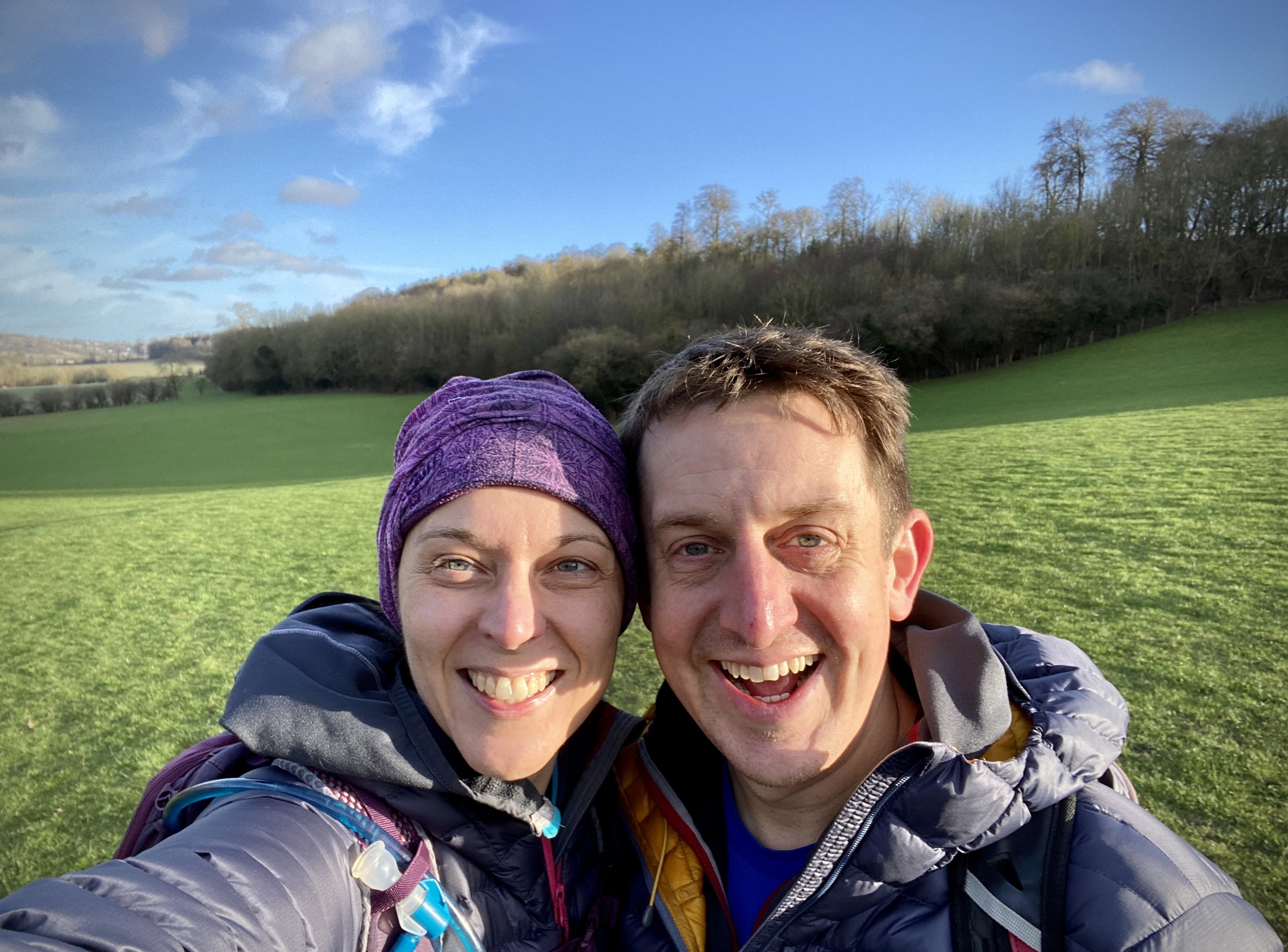
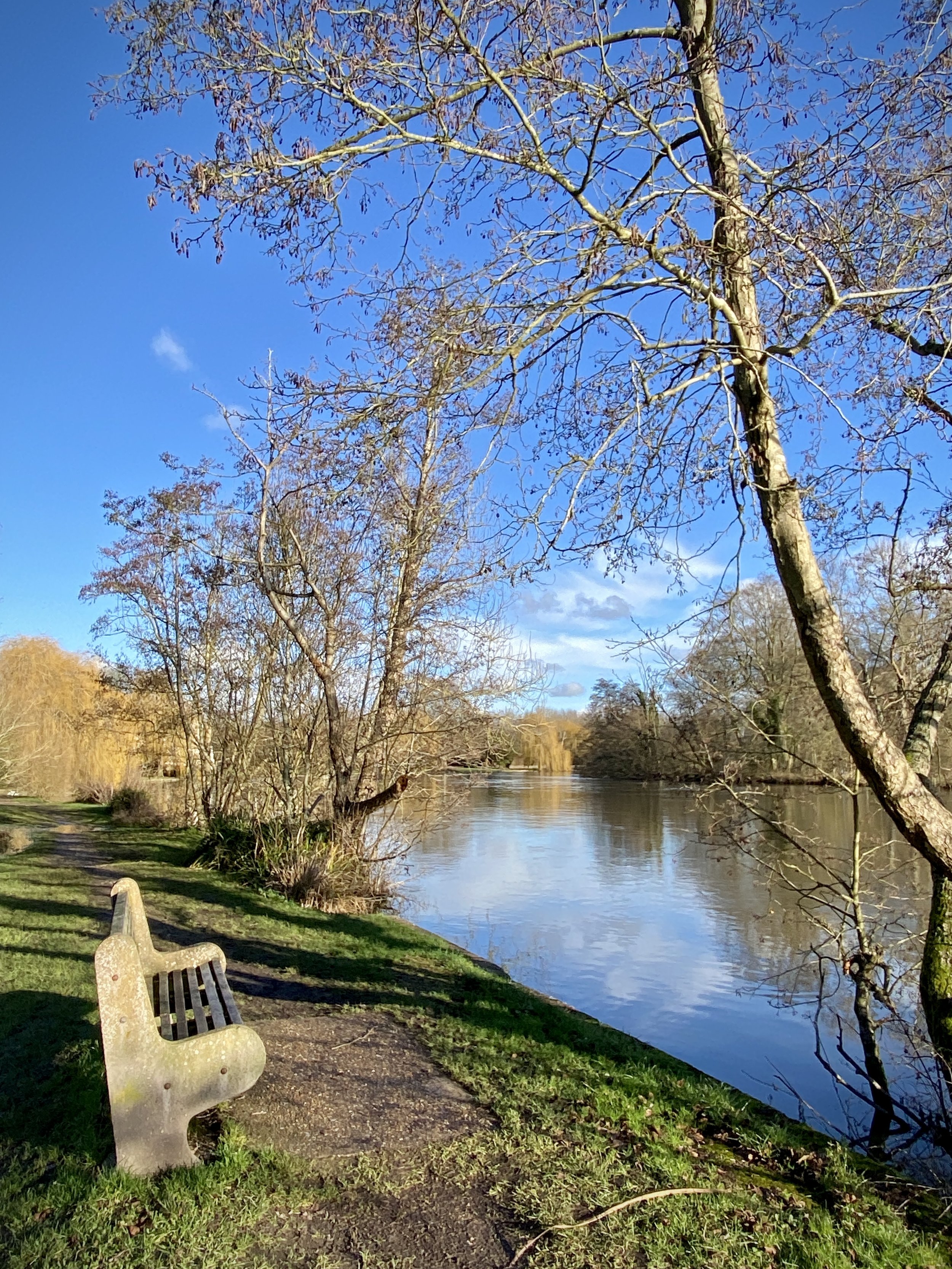
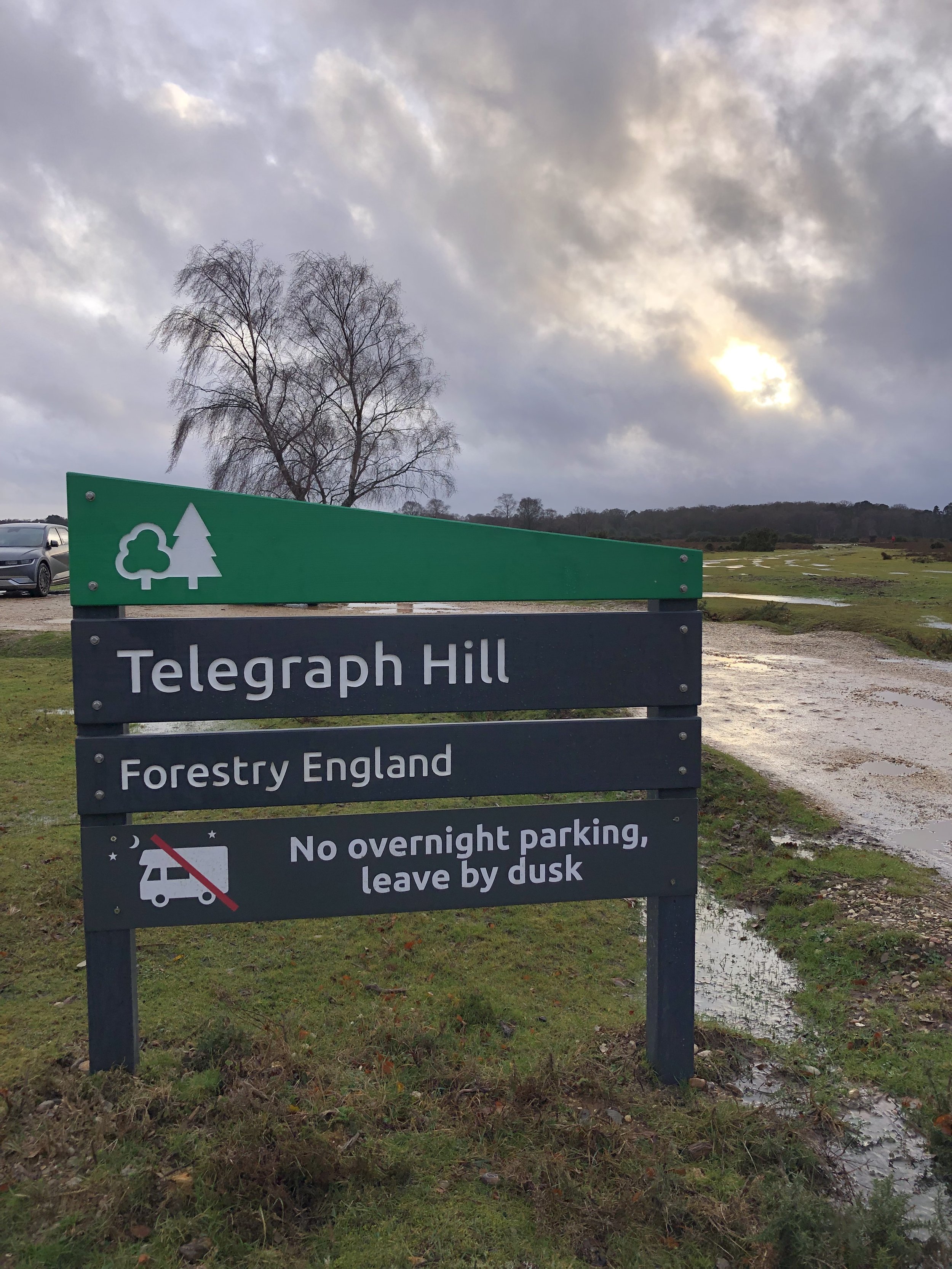
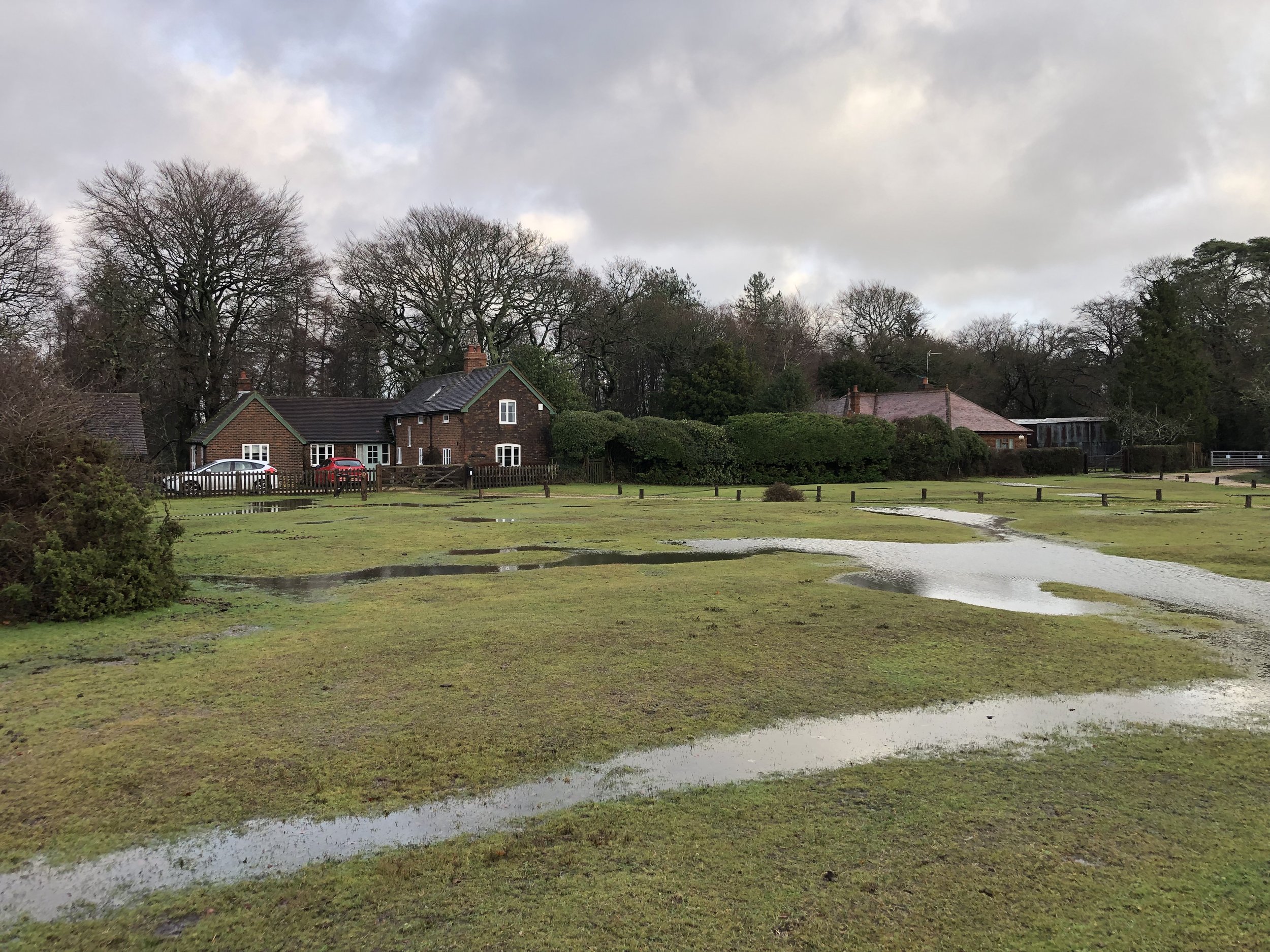
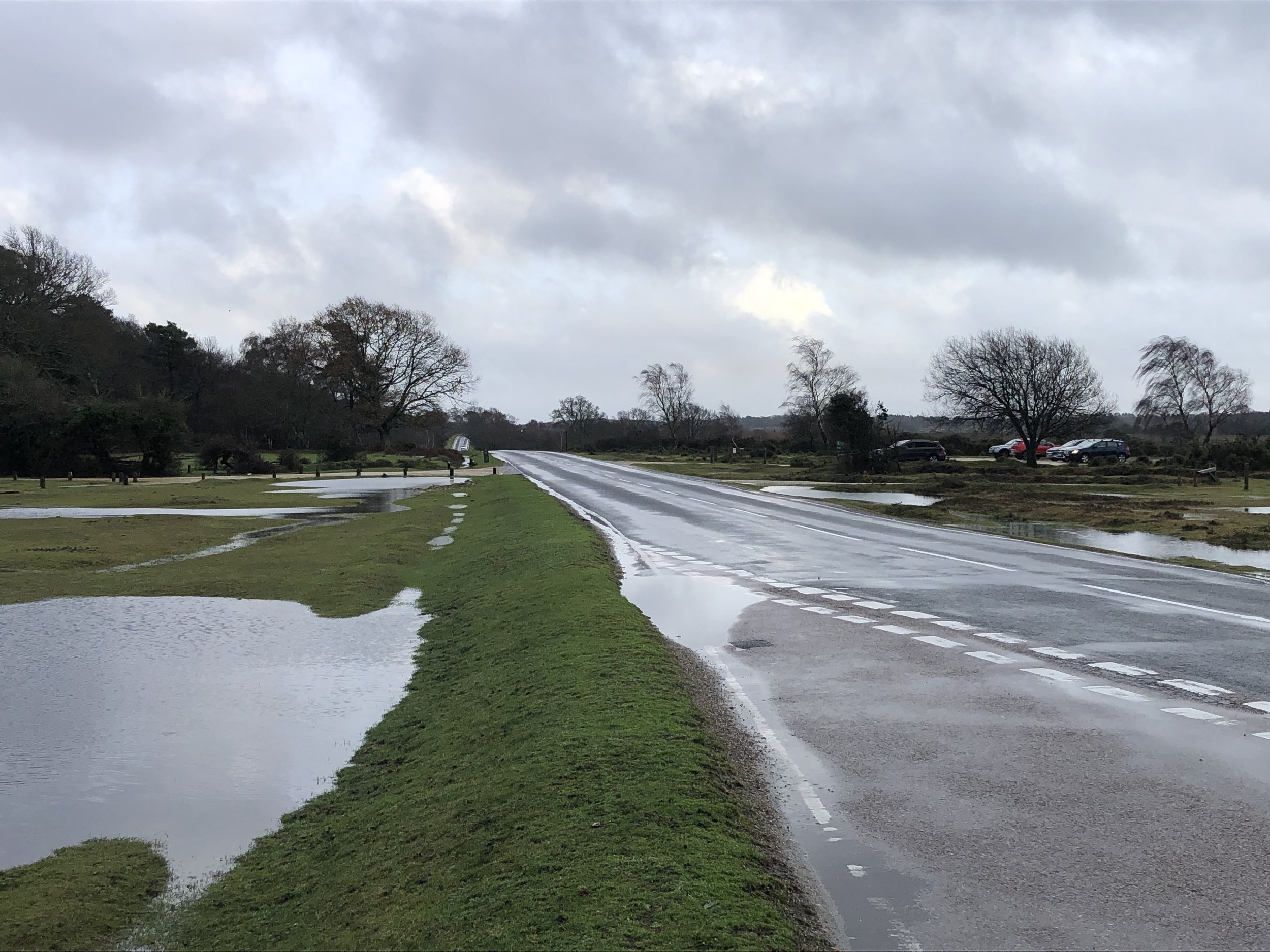
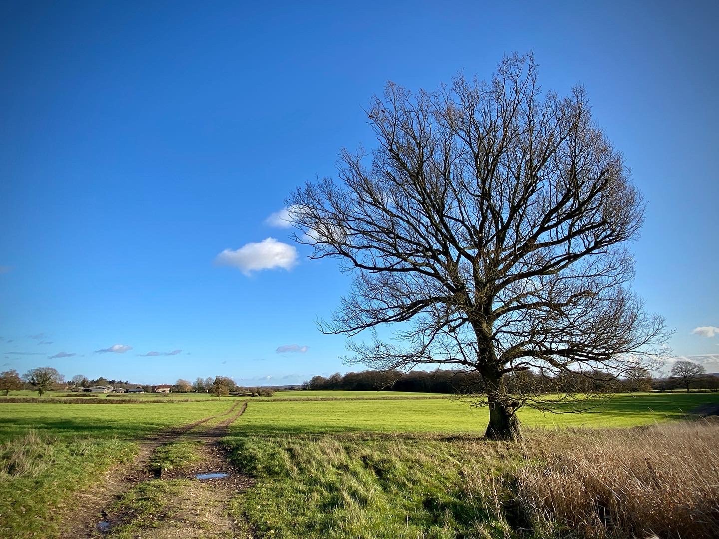
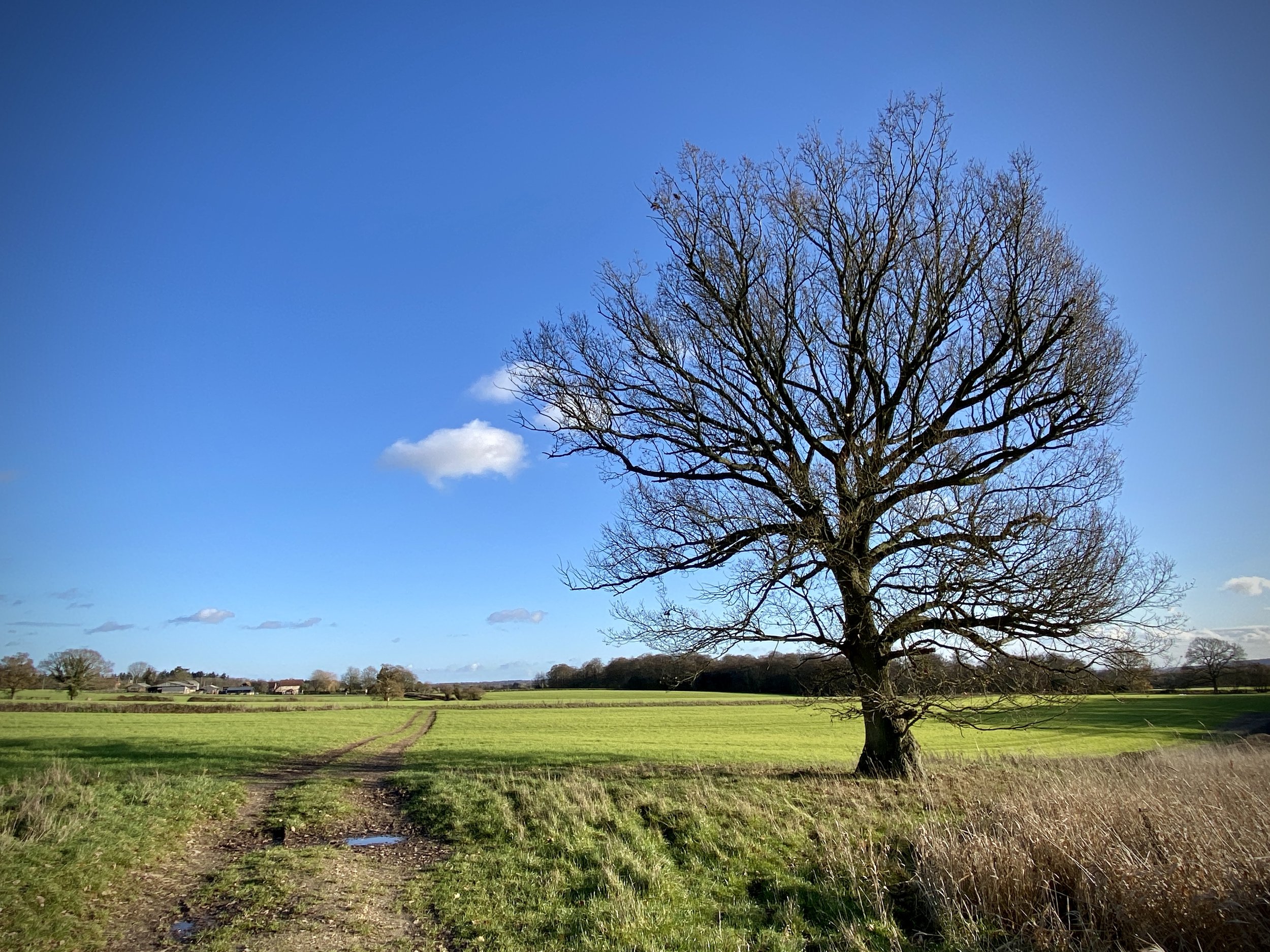
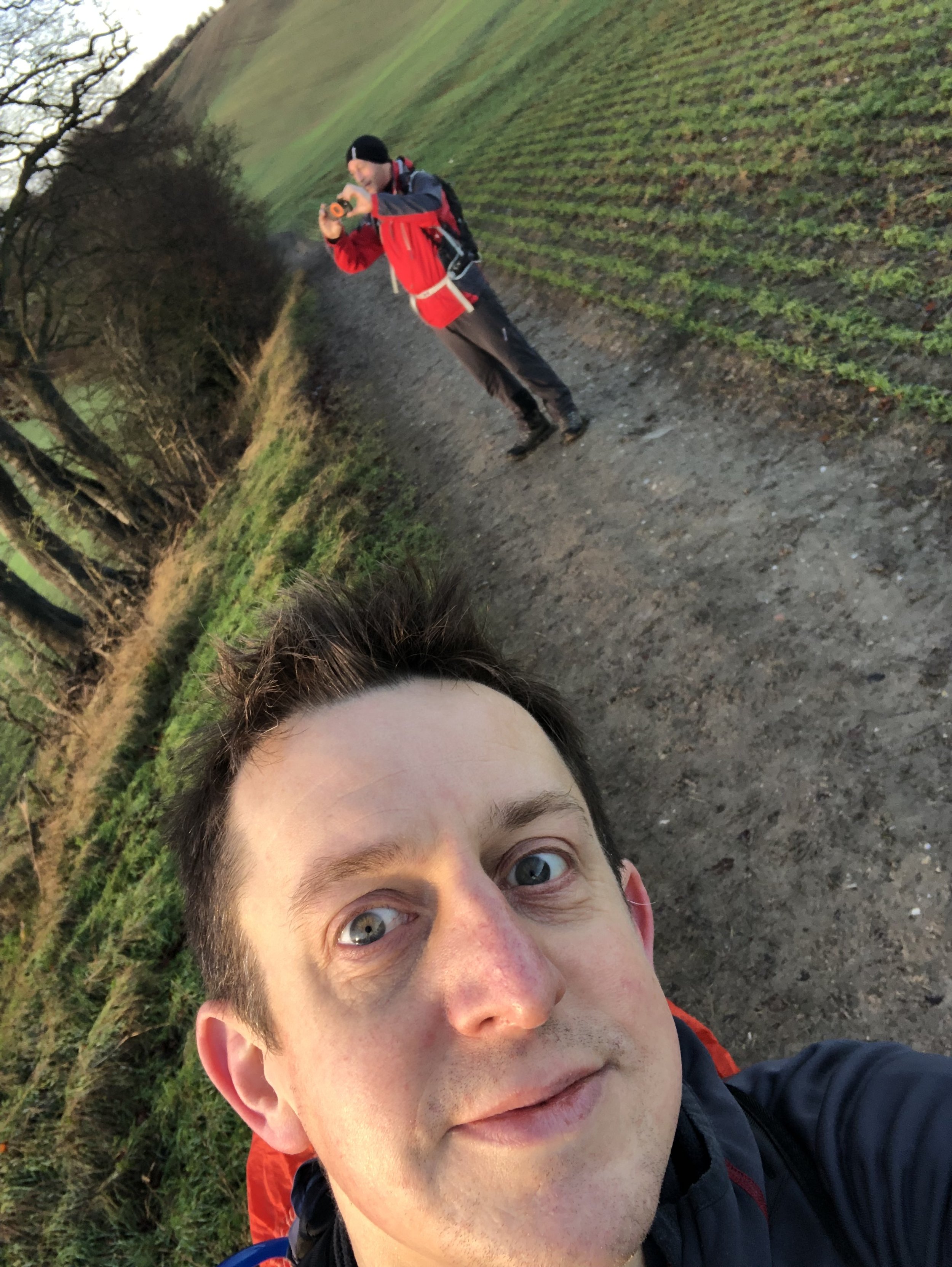
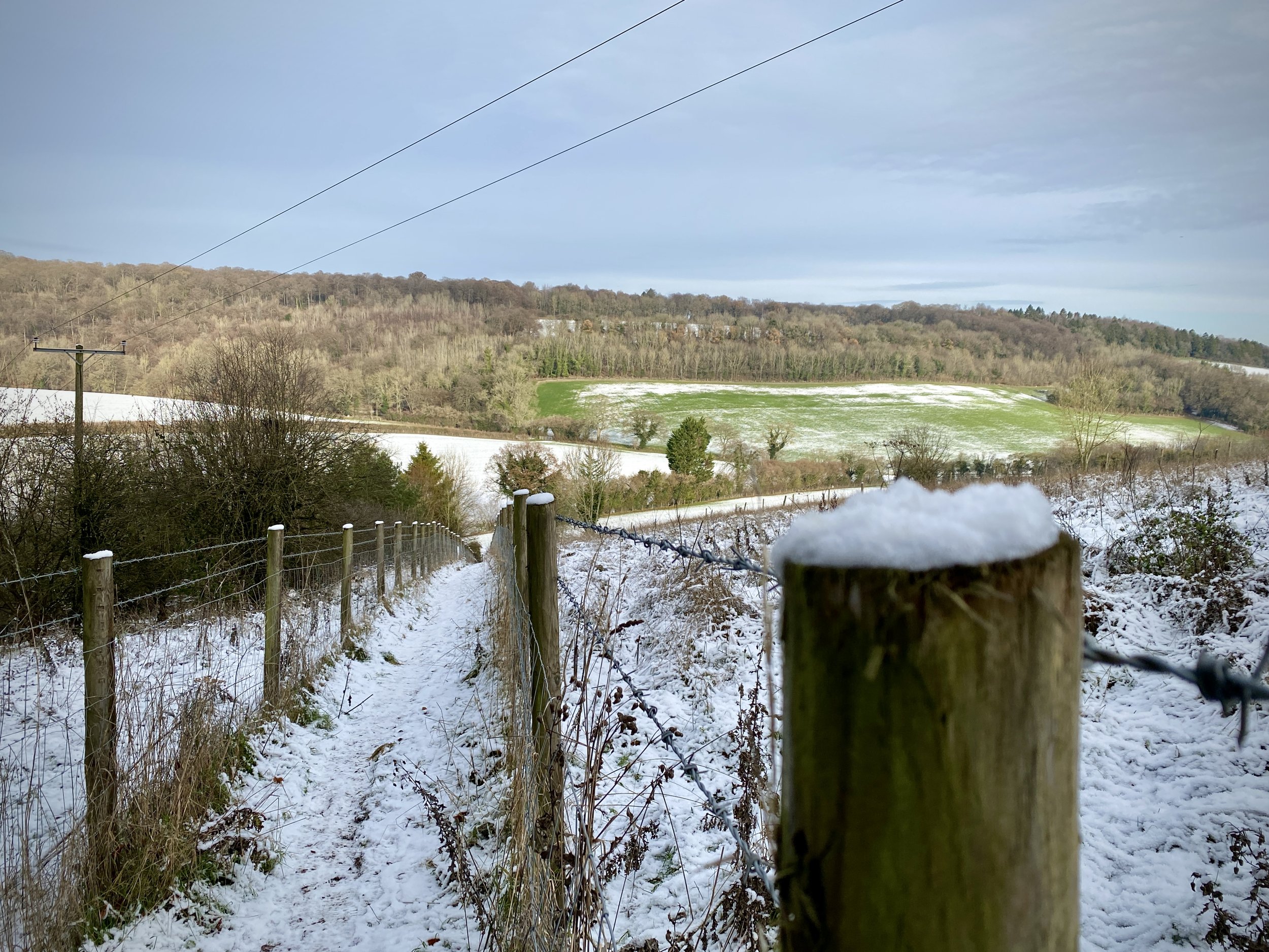
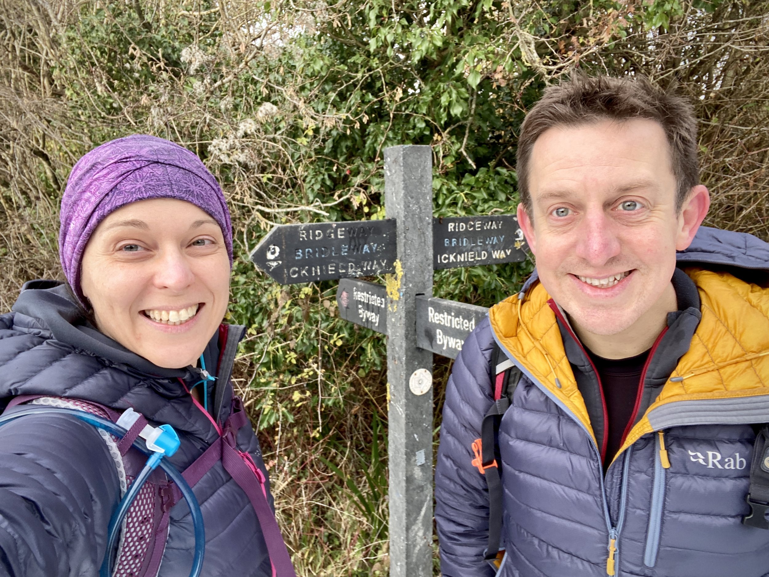
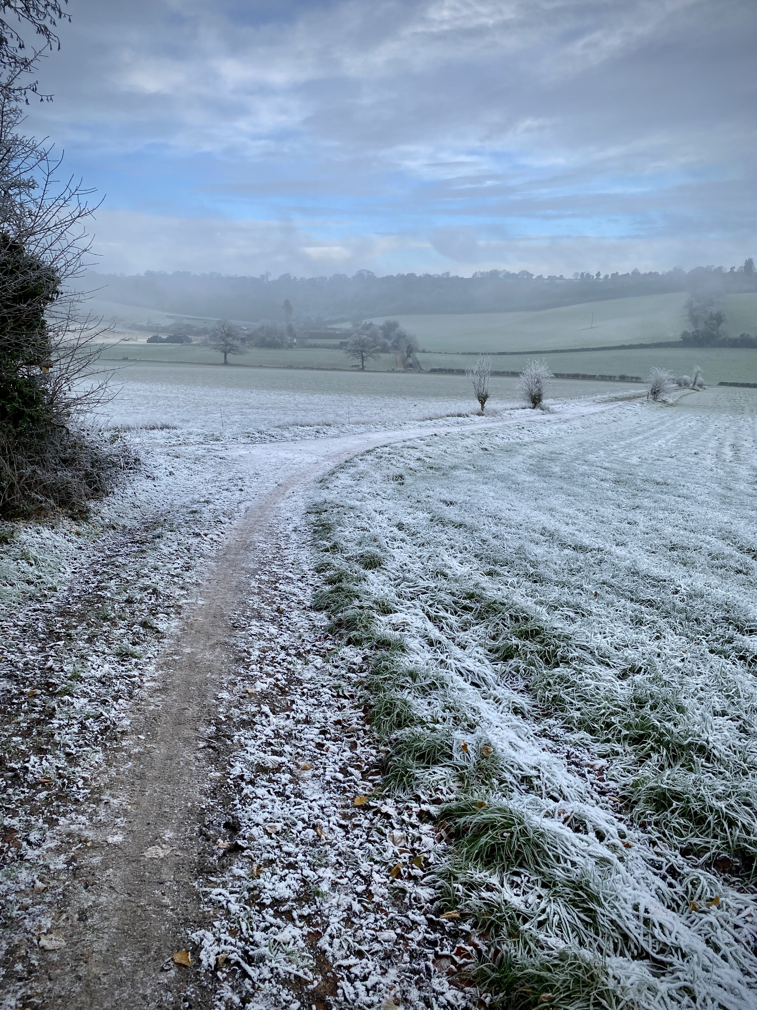
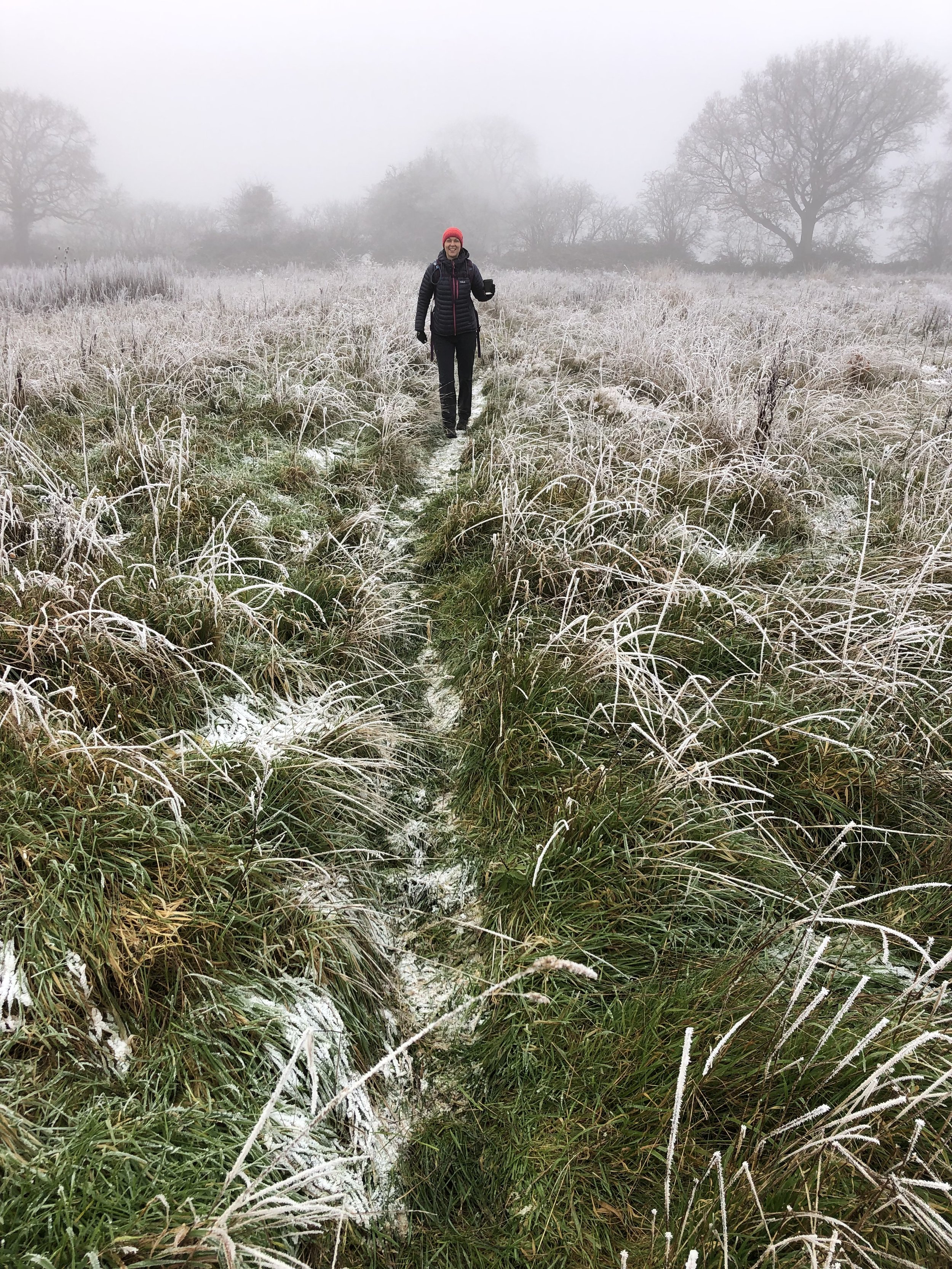
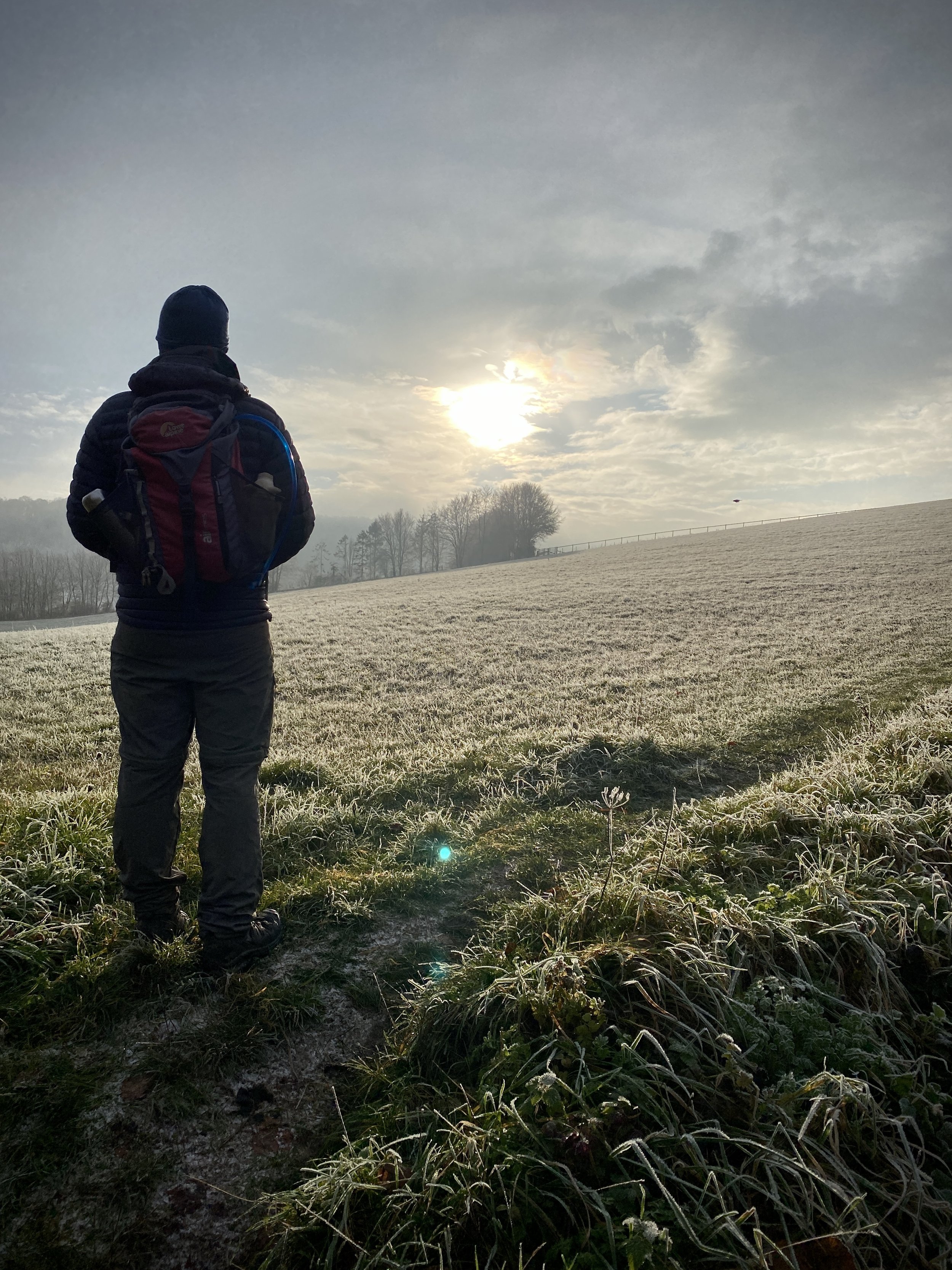
It’s now become an annual tradition of mine to do a muddy cycle trip on the day before starting work in the New Year. Having a micro-adventure under the belt is always a good win before trying to remember my work password, what I do and why I do it. My first weigh-in of the new year with a “Personal Best” kilo total was also another motivation to get out of the house.

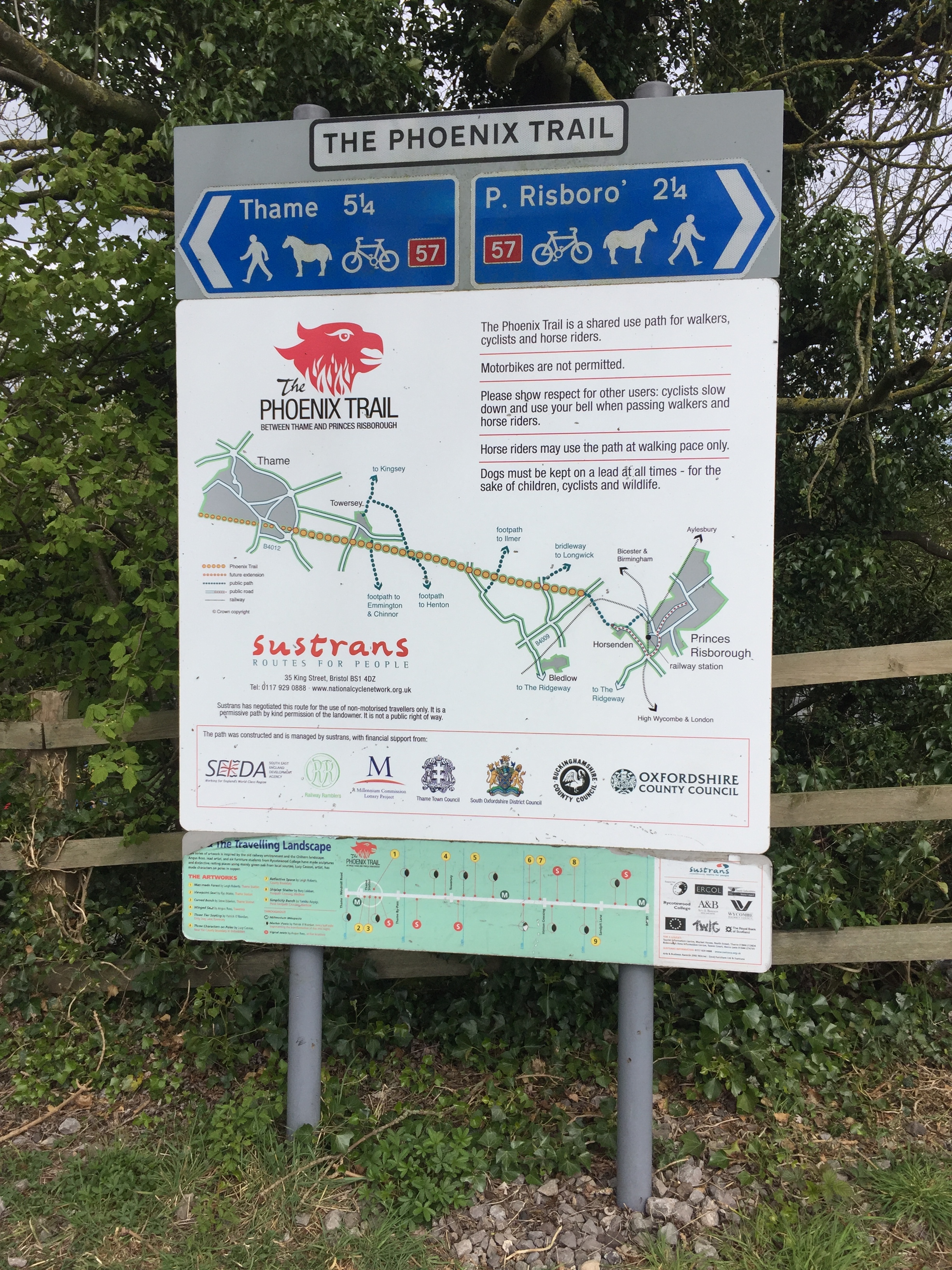
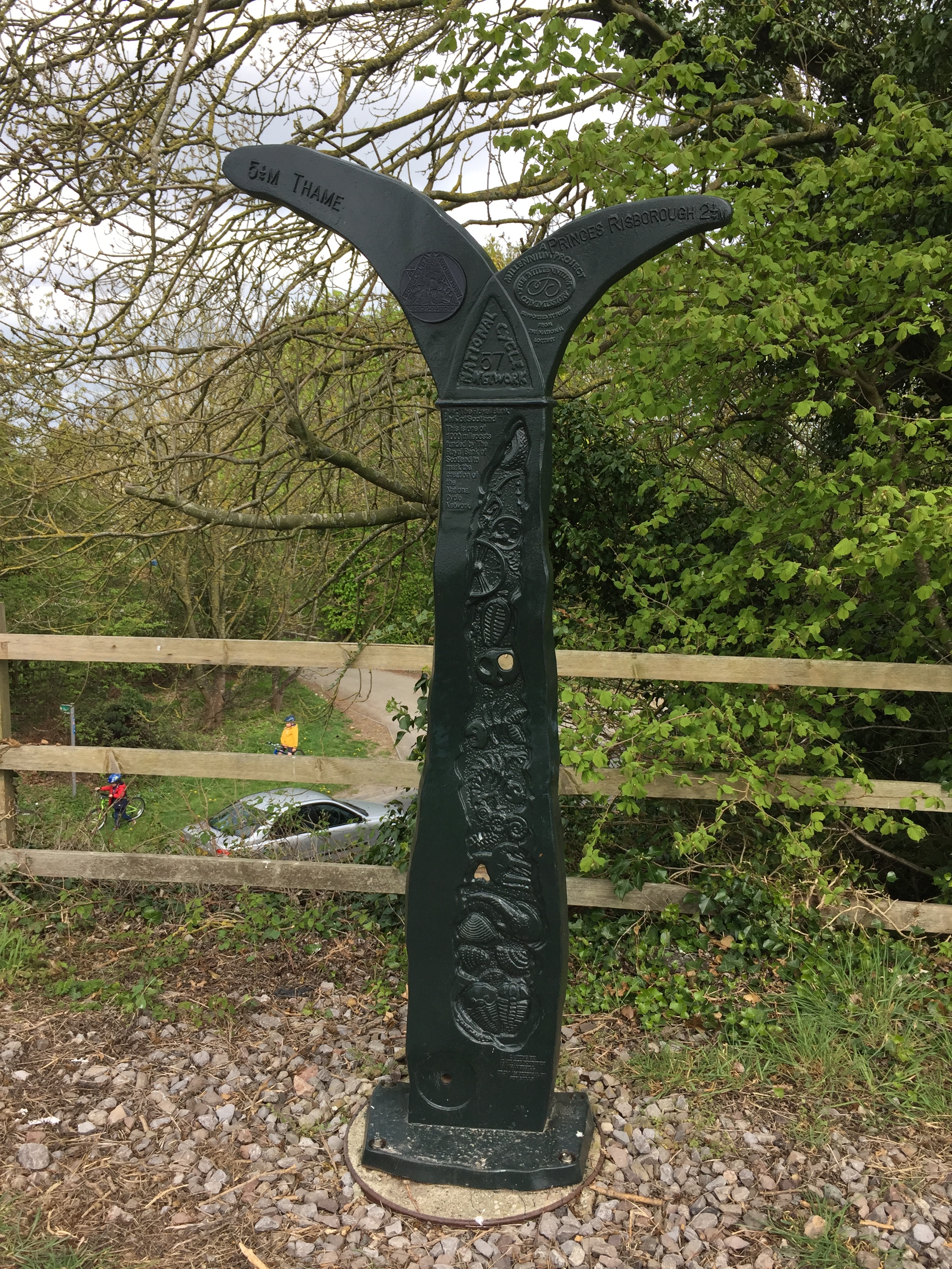
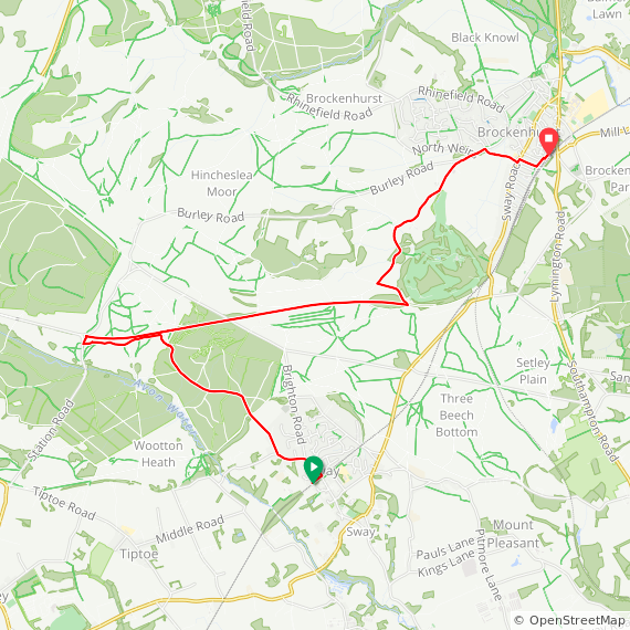
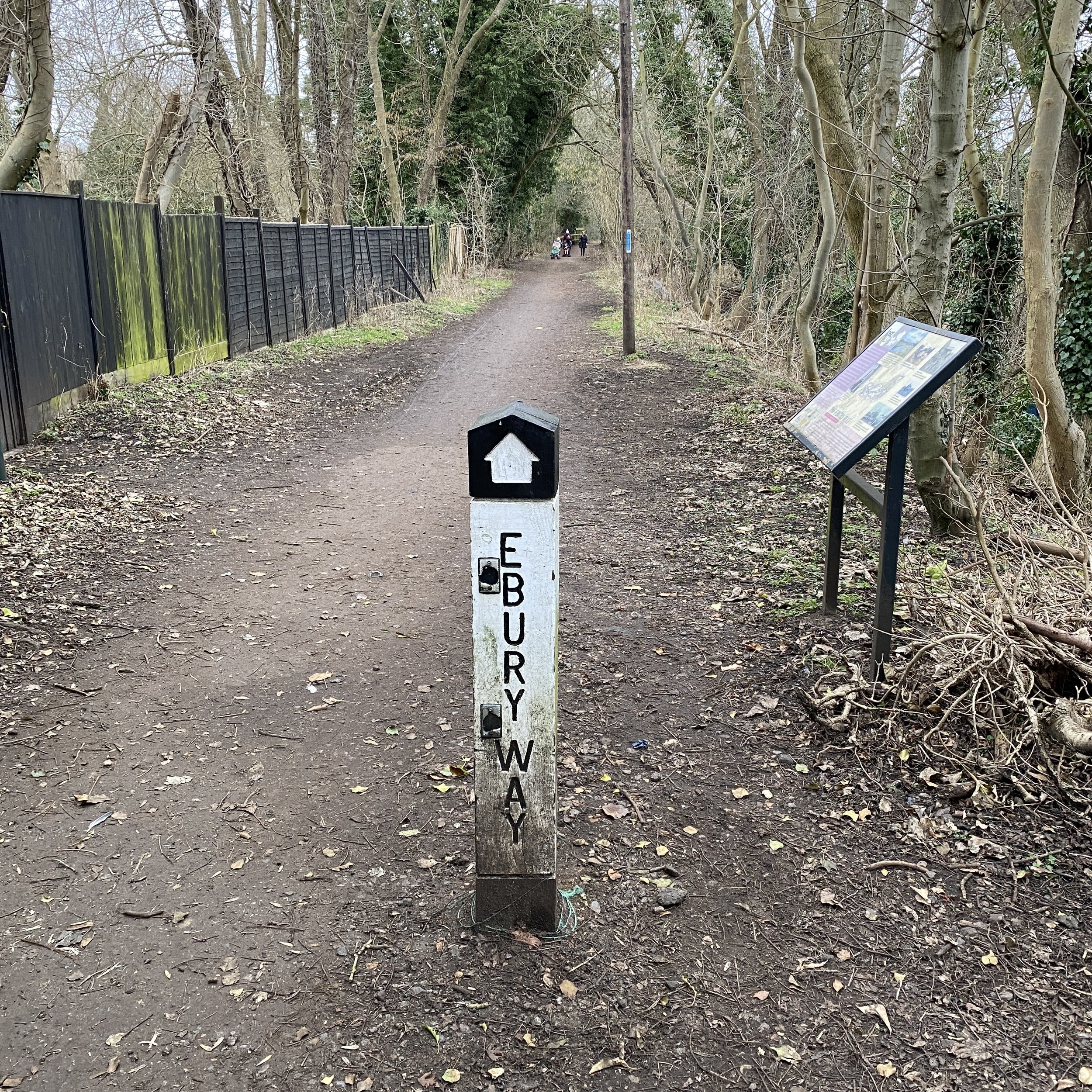
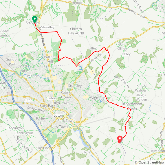
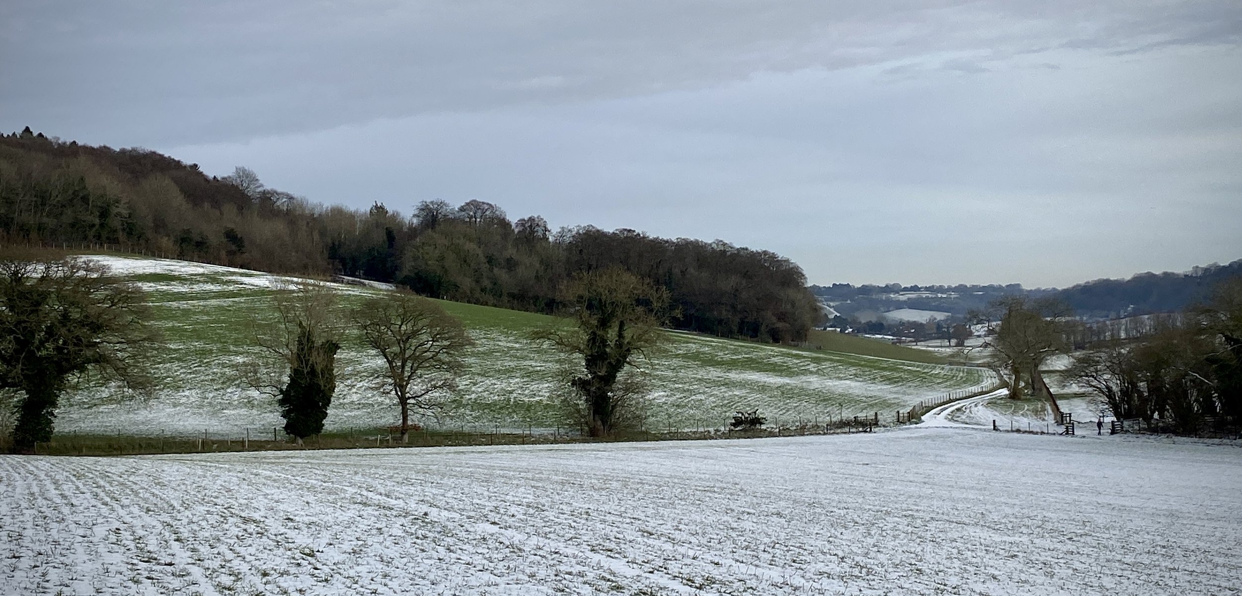
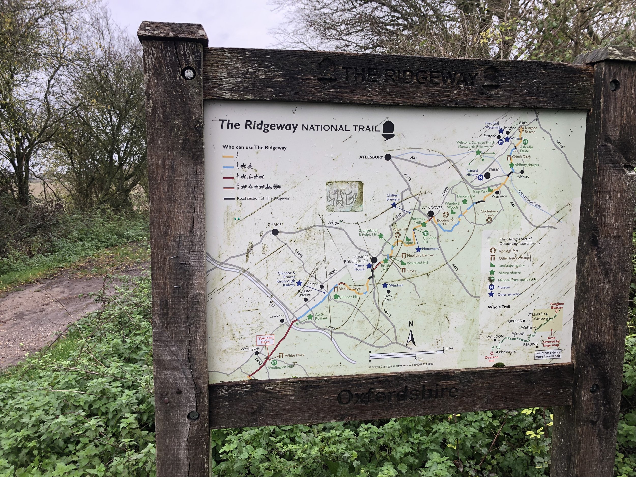
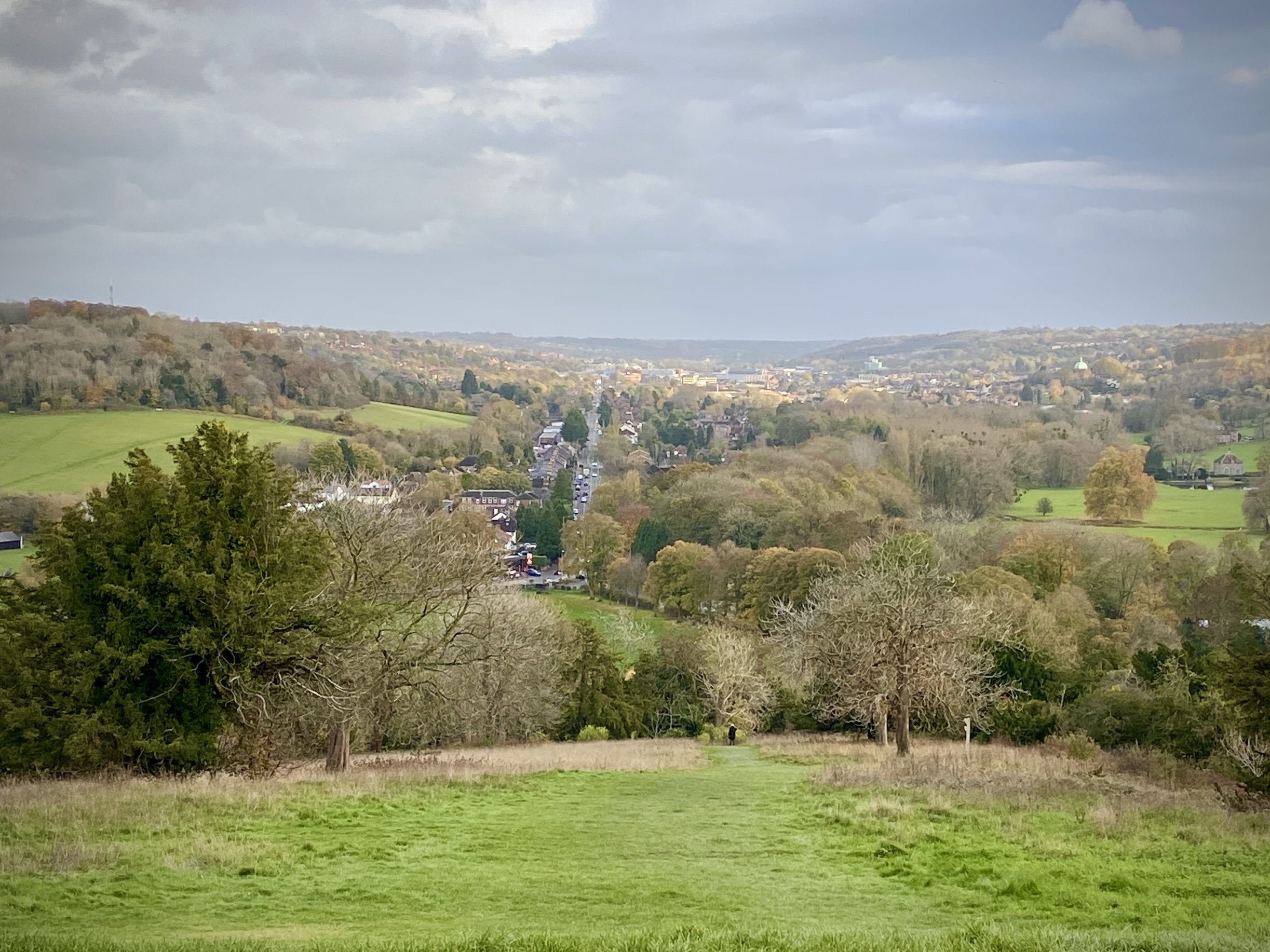
This year’s trip with to explore the 2 disused railways from Princes Risborough station on the north edge of the Chilterns. The first one is a stretch of the old Wycombe Railway that’s now been adopted as a cycle path called The Phoenix Trail. The second is the old Princes Risborough to Watlington line. The first part of this to Chinnor is now as heritage rail line. The rest has been completely abandoned but you can find remains of the old stations if you know where to look.

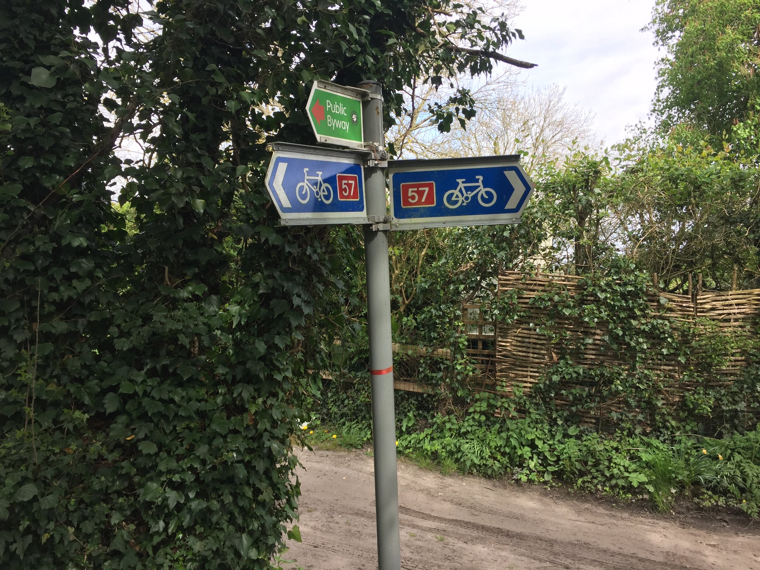
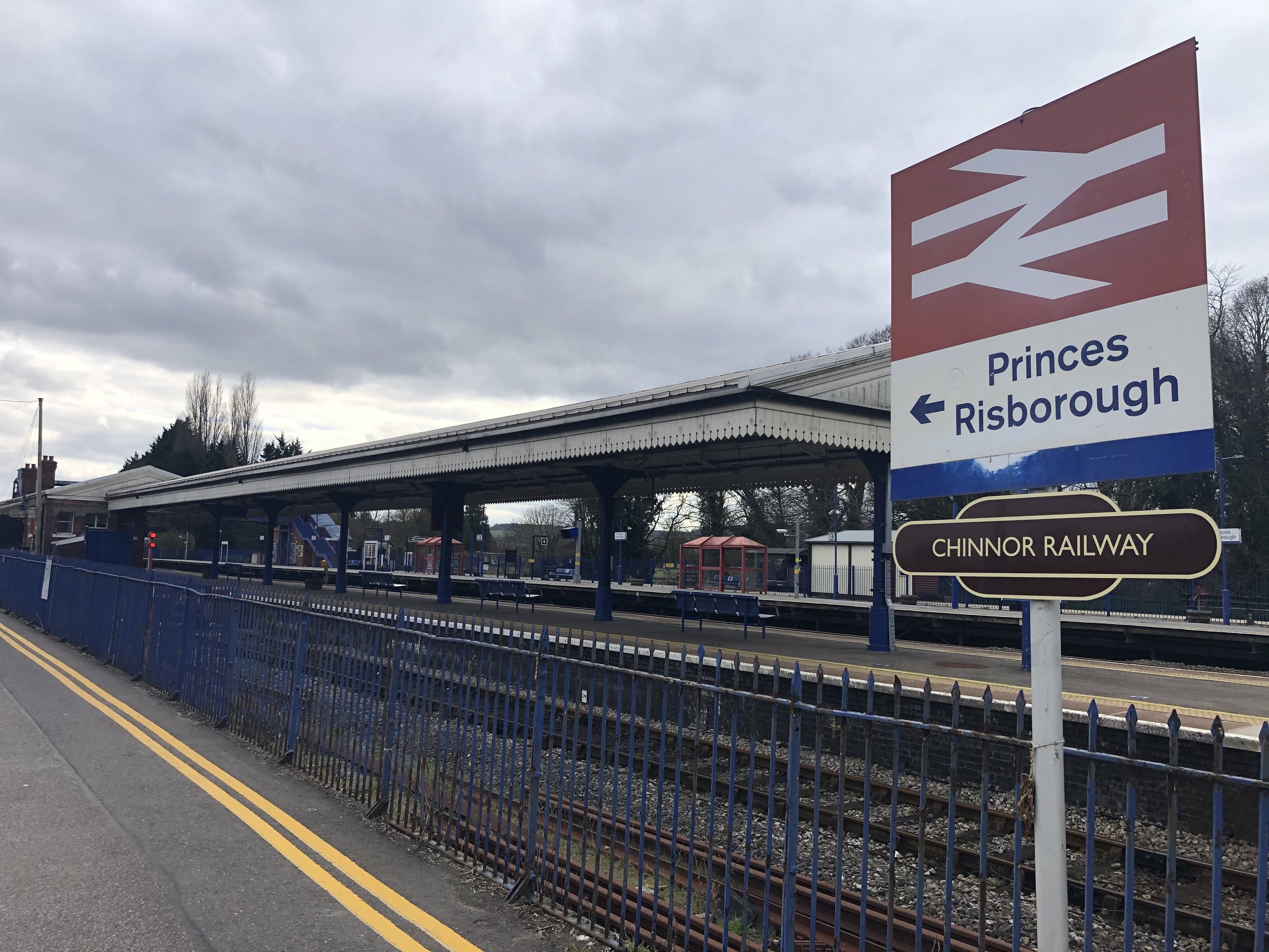
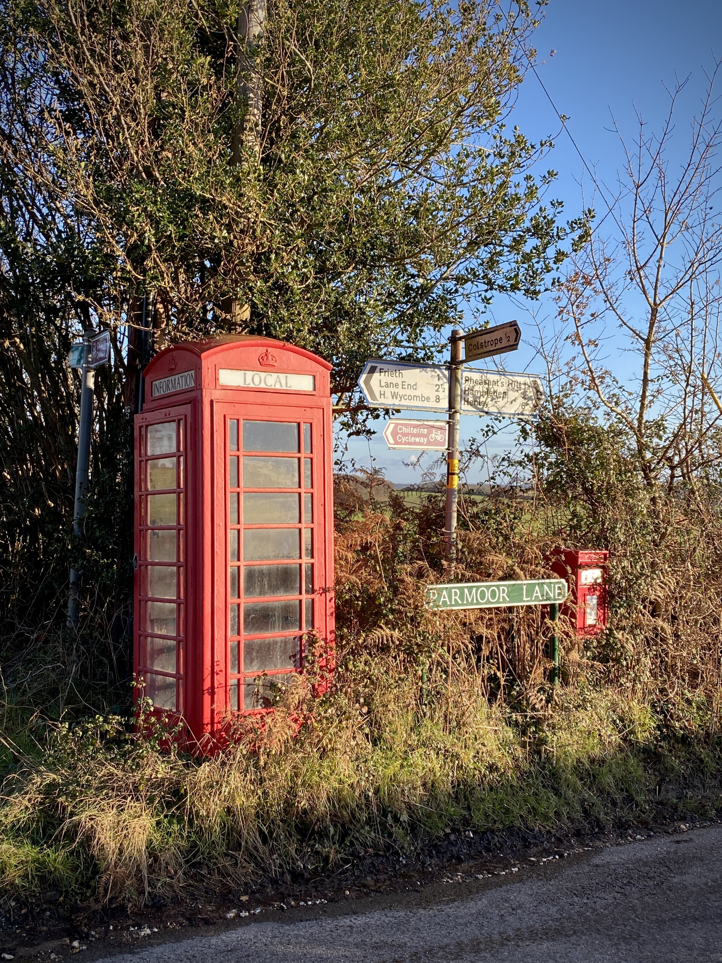
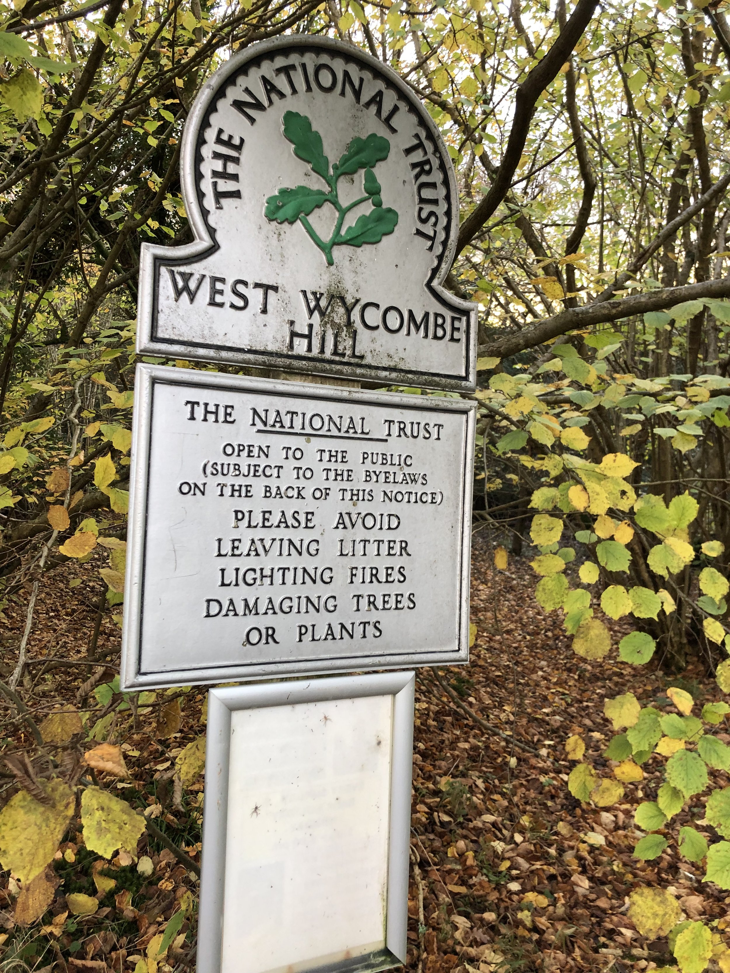
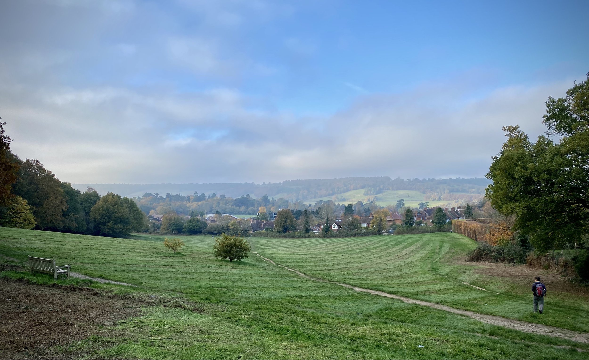
If you’re arriving by car, a good place to part is The Mount, just off Princes Risborough High Street. Although you can also park at the rail station, The Mount is cheaper and often has more spaces. The Mount is also on NCN 57 so you can pick up the route from there and ride the 1 km to the station.

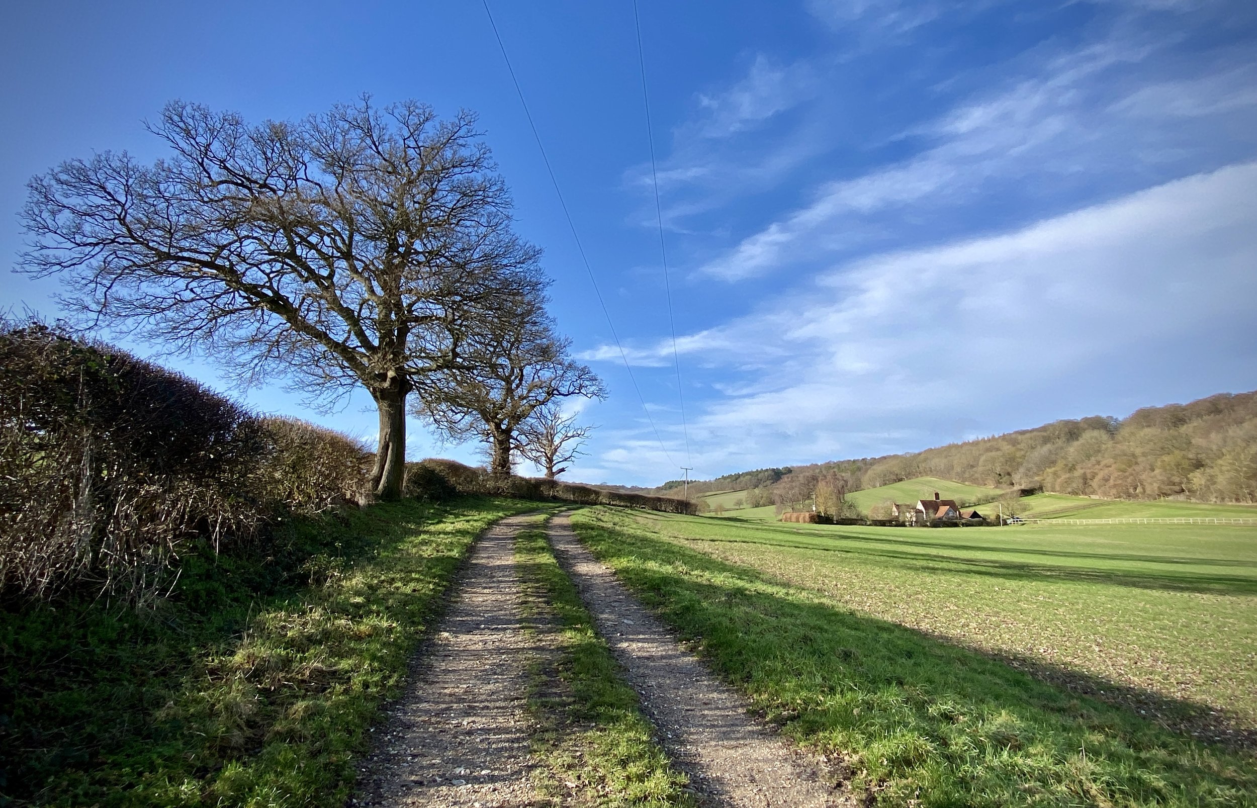
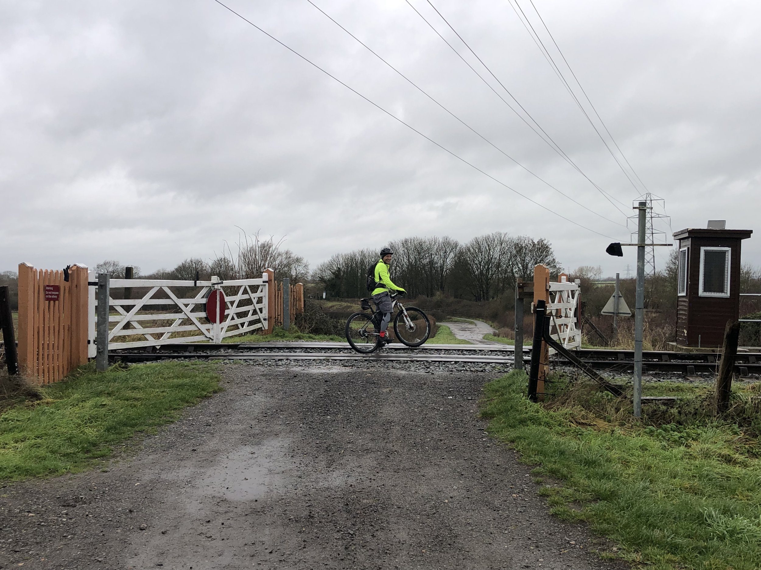
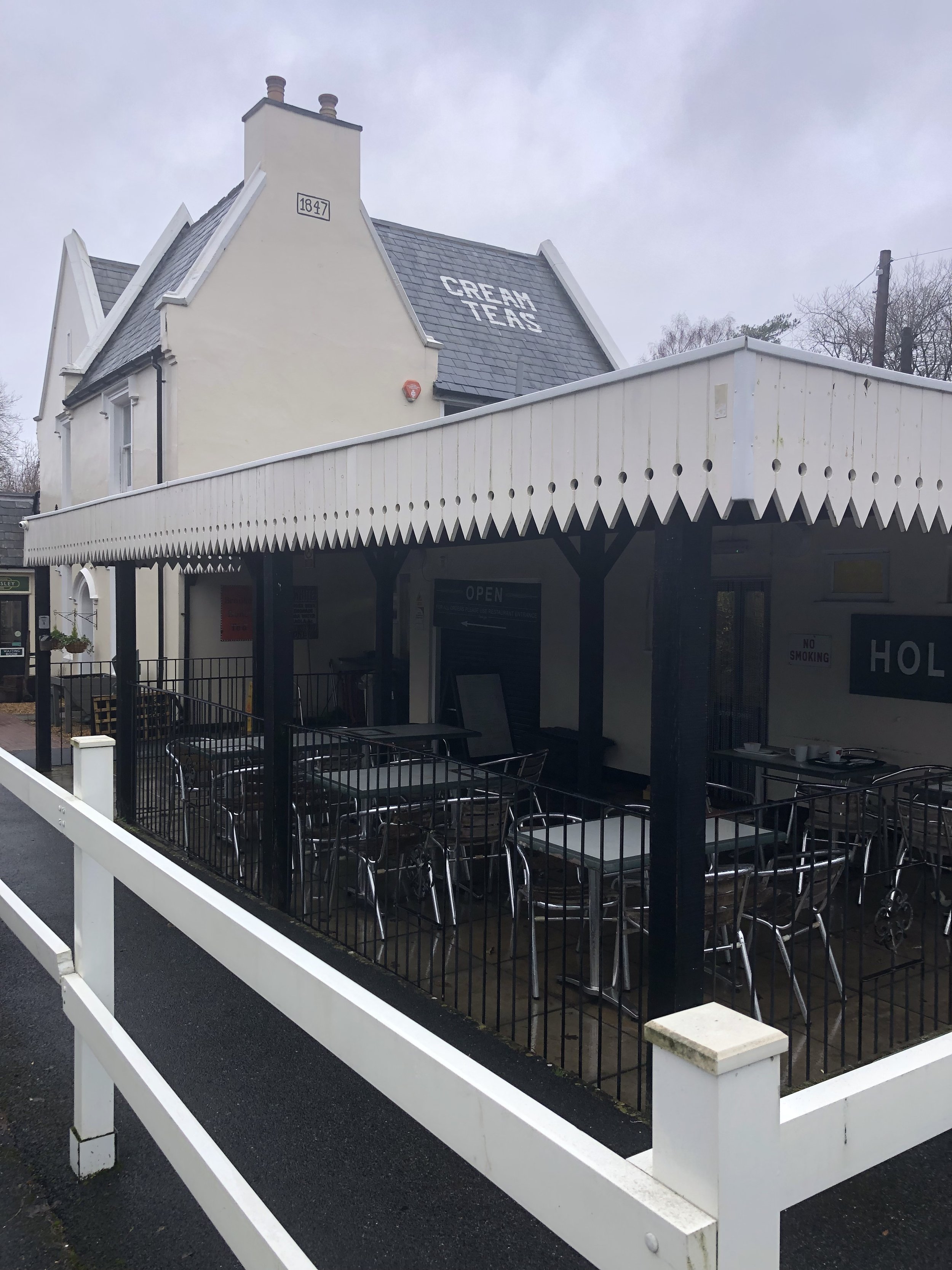
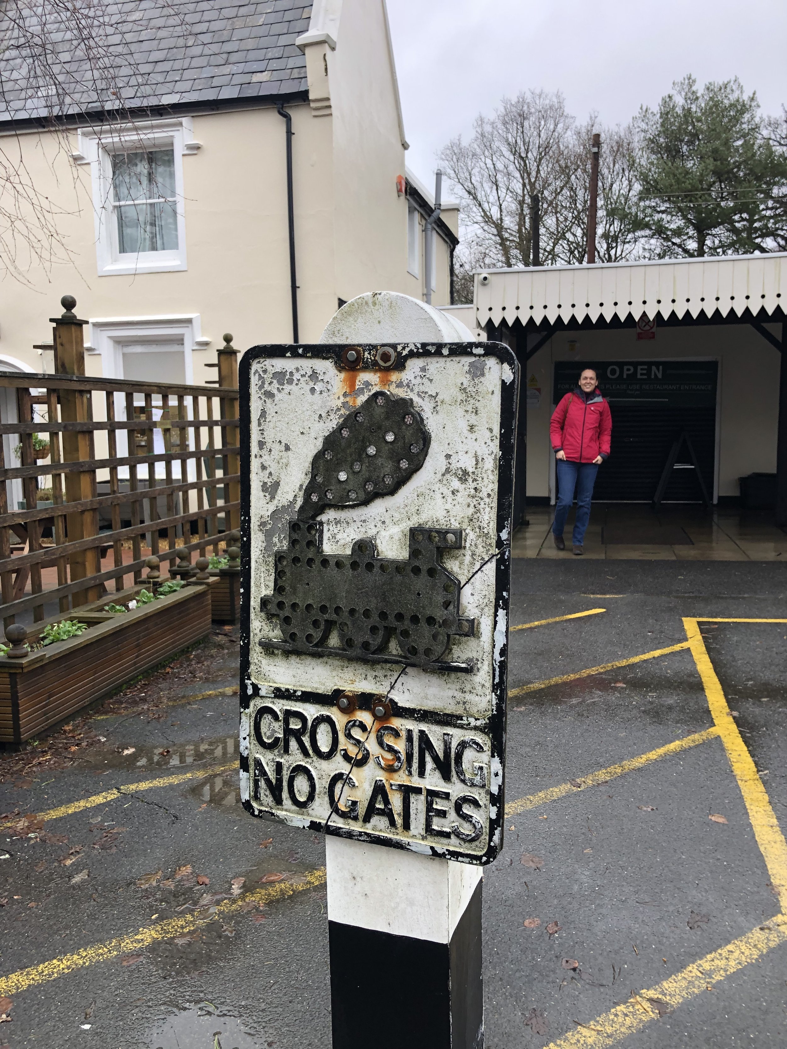
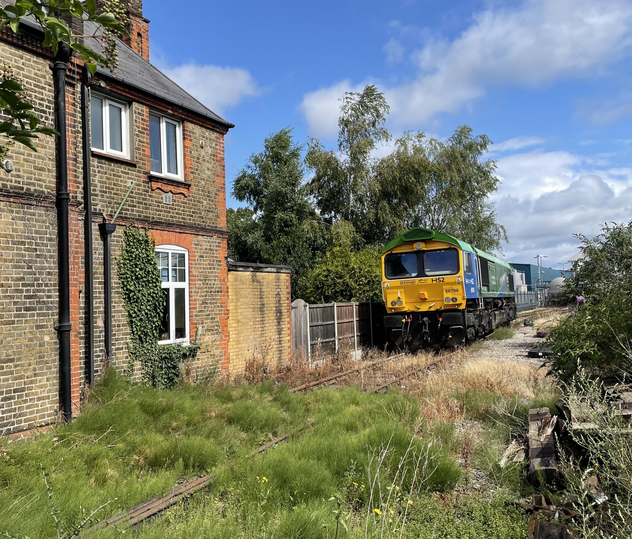
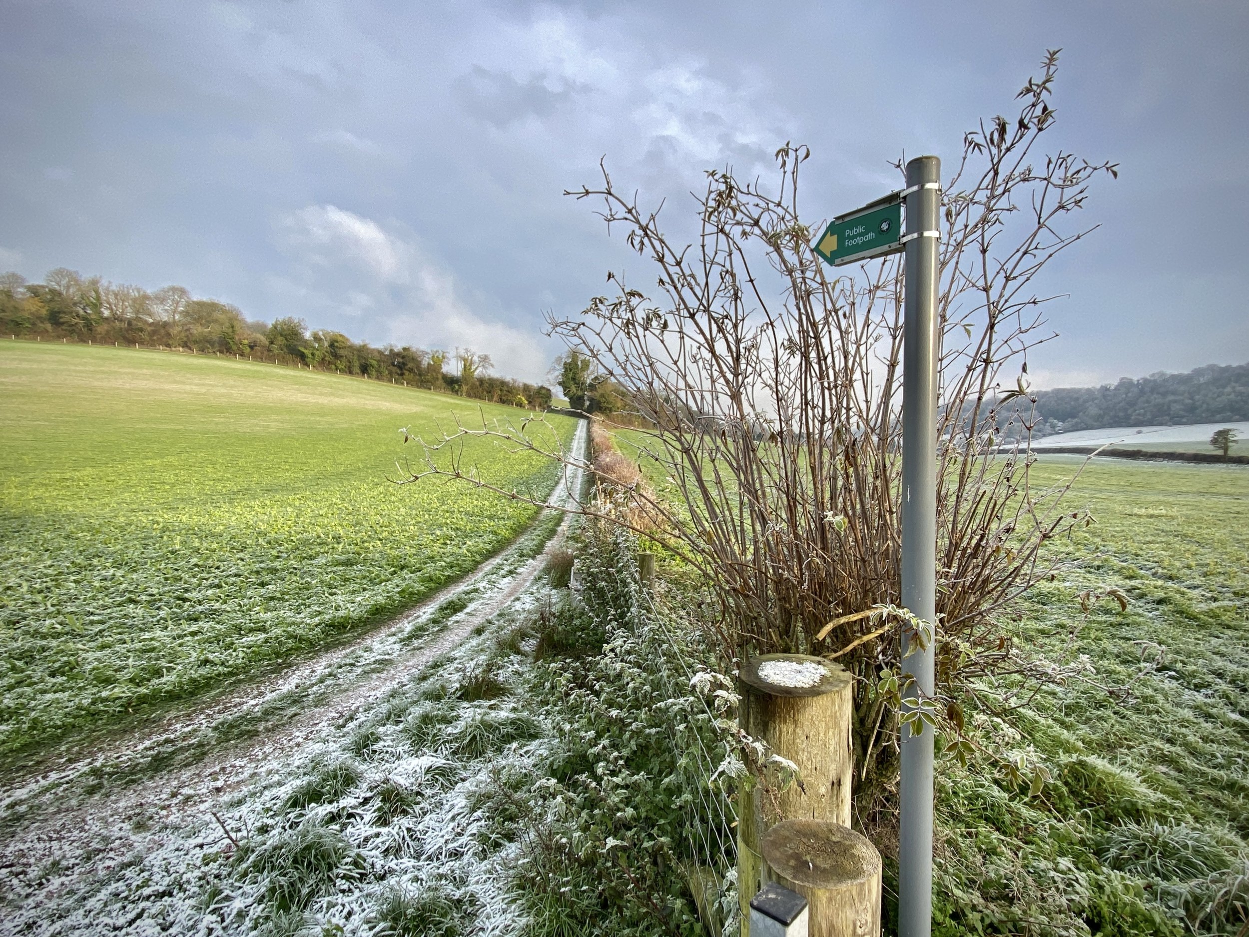
To access the Phoenix trail continue along the NCN 57 as it crosses the road bridge to the south of the station and passes through the village of Horsenden. Before reaching the start of the Trail you’ll pass over a level crossing that’s now part of the Princes Risborough to Chinnor Historic Railway.

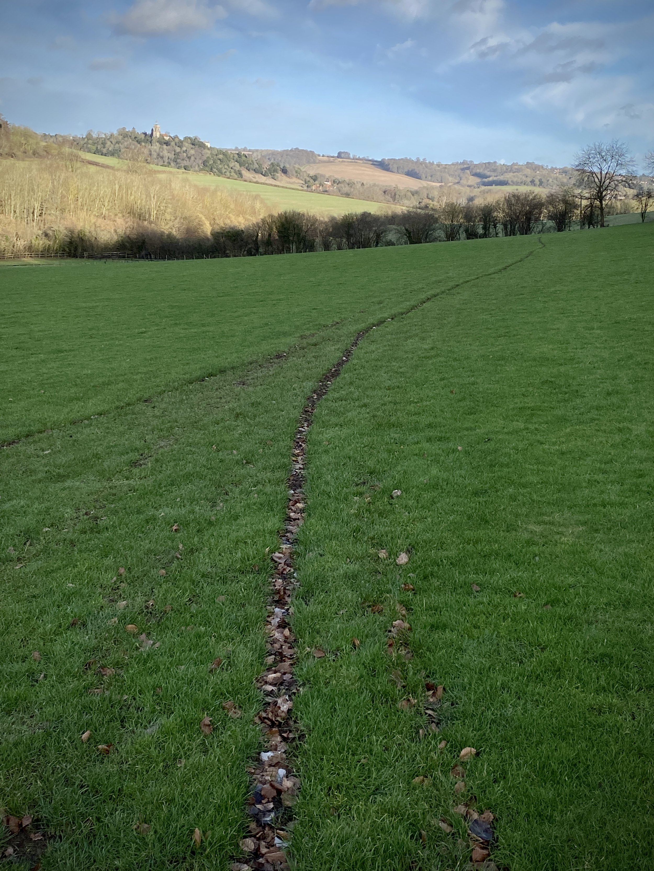
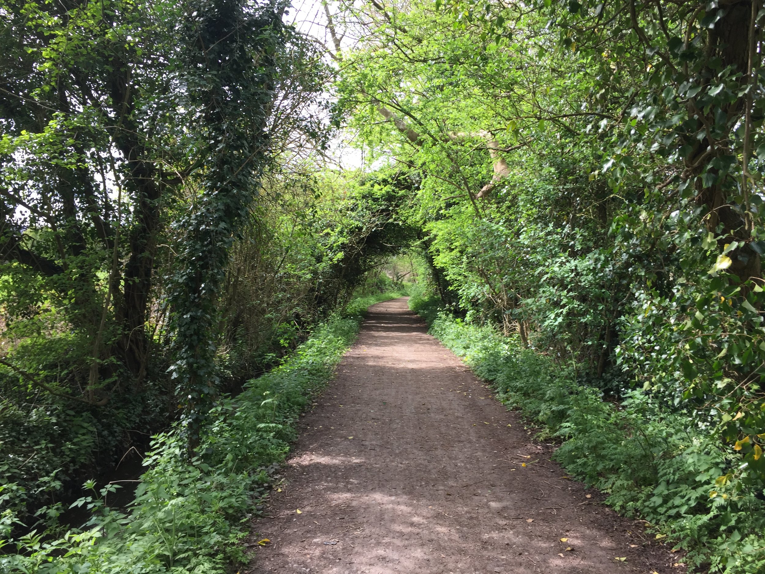
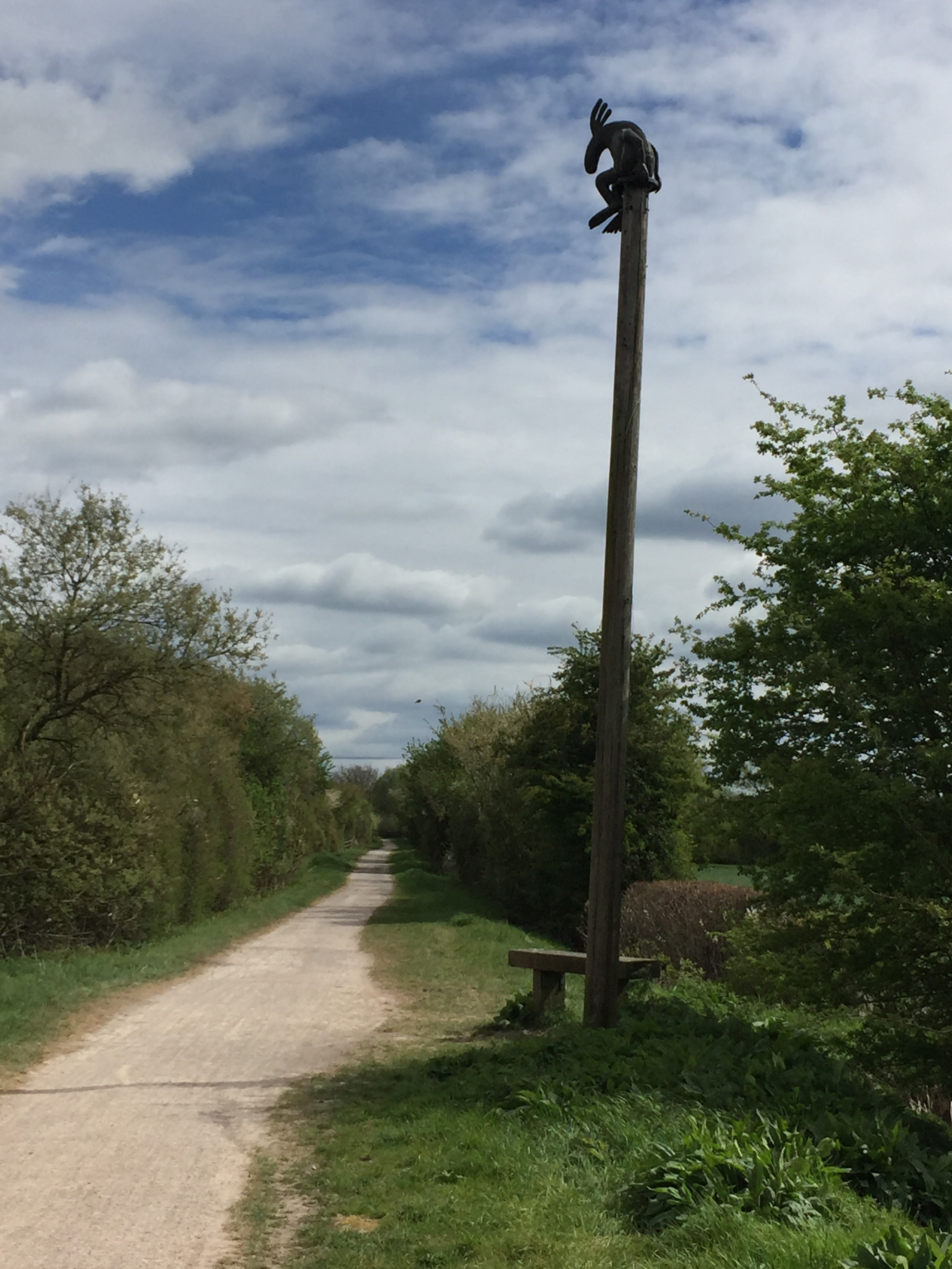
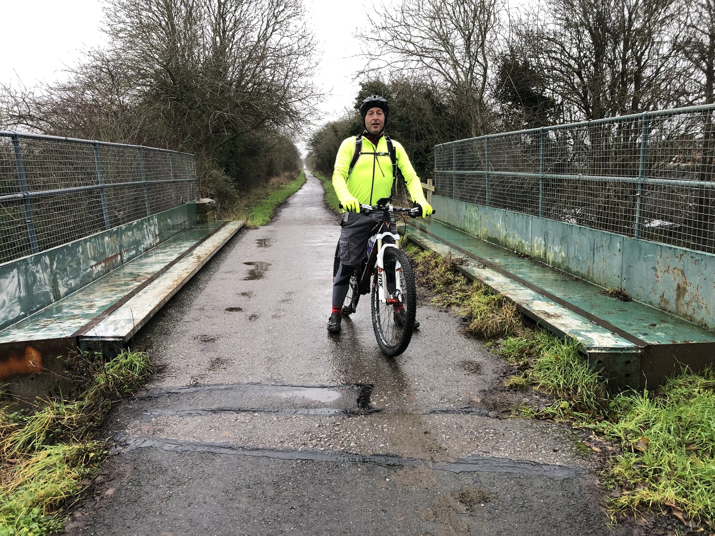
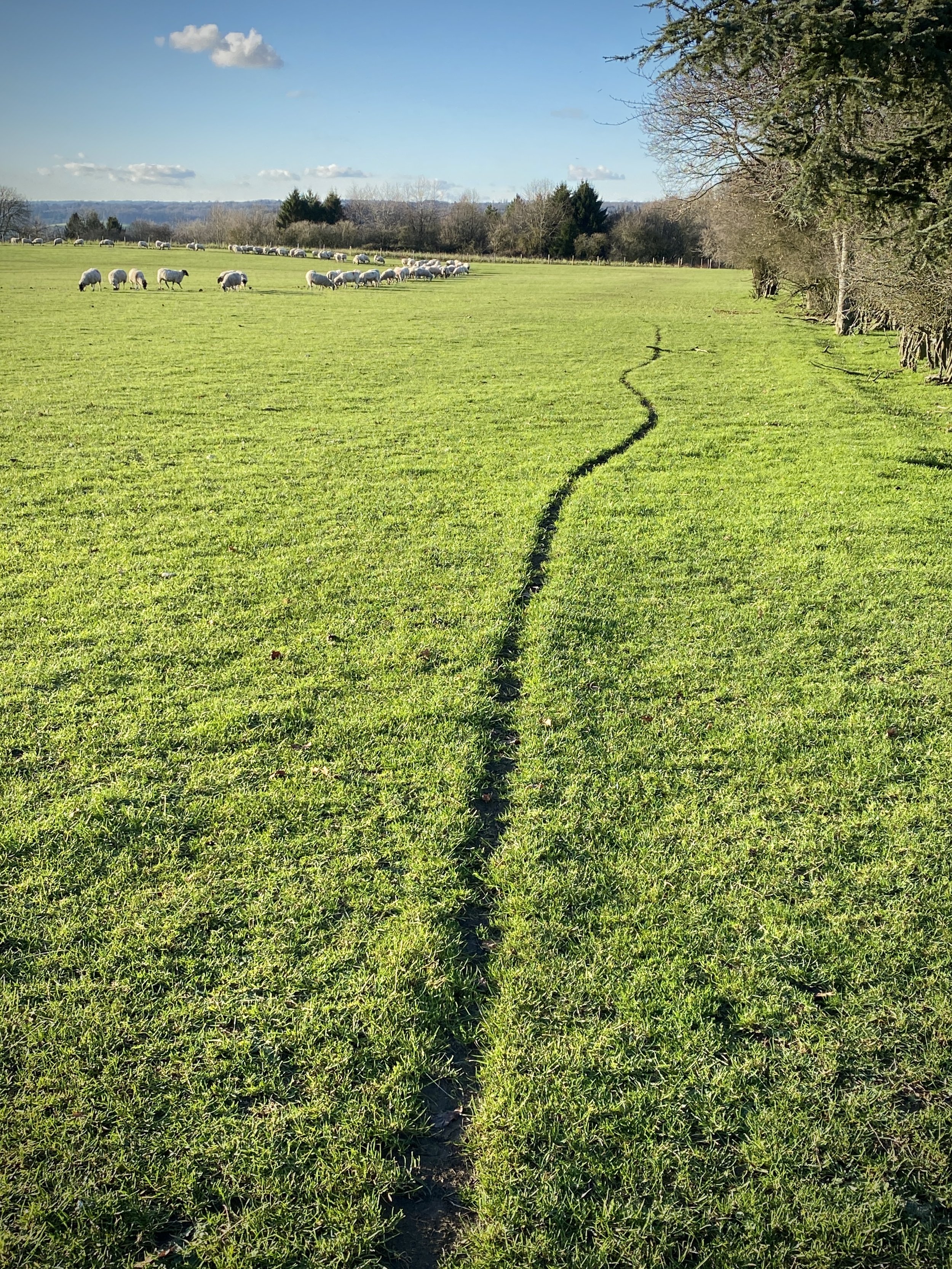
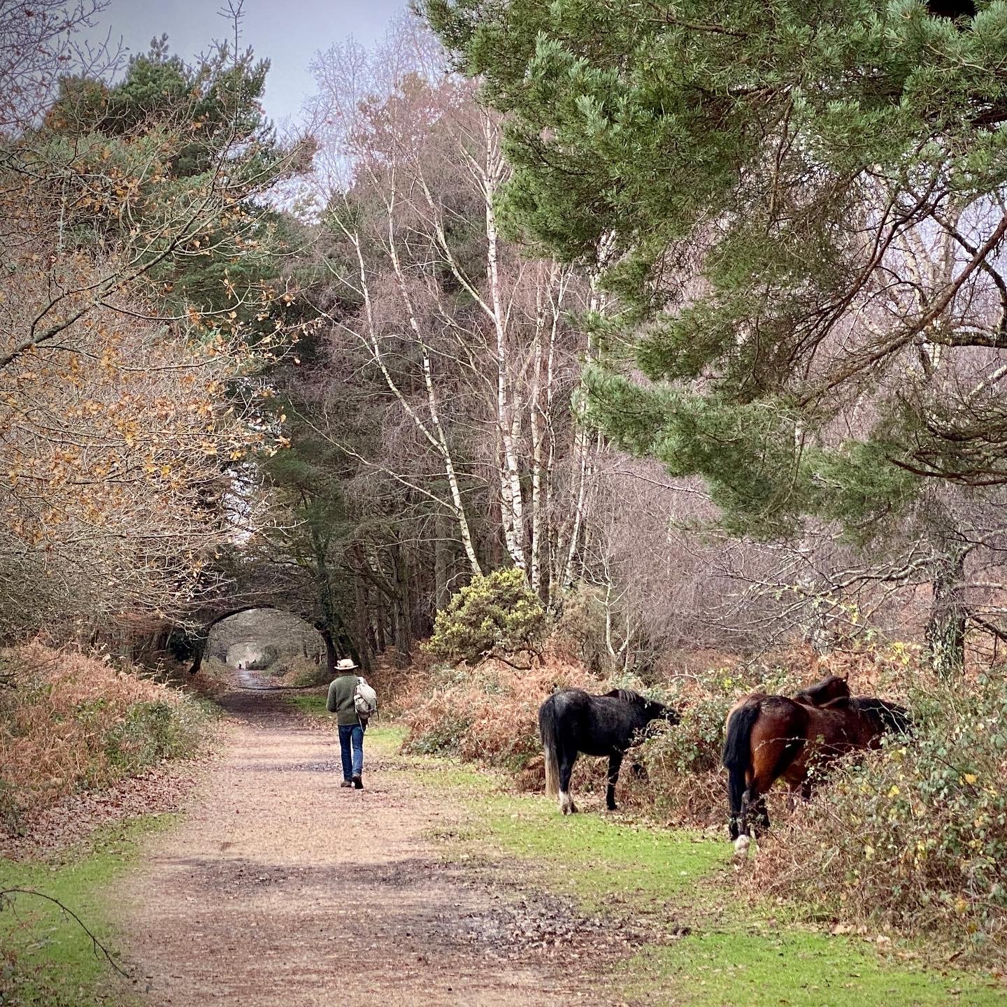
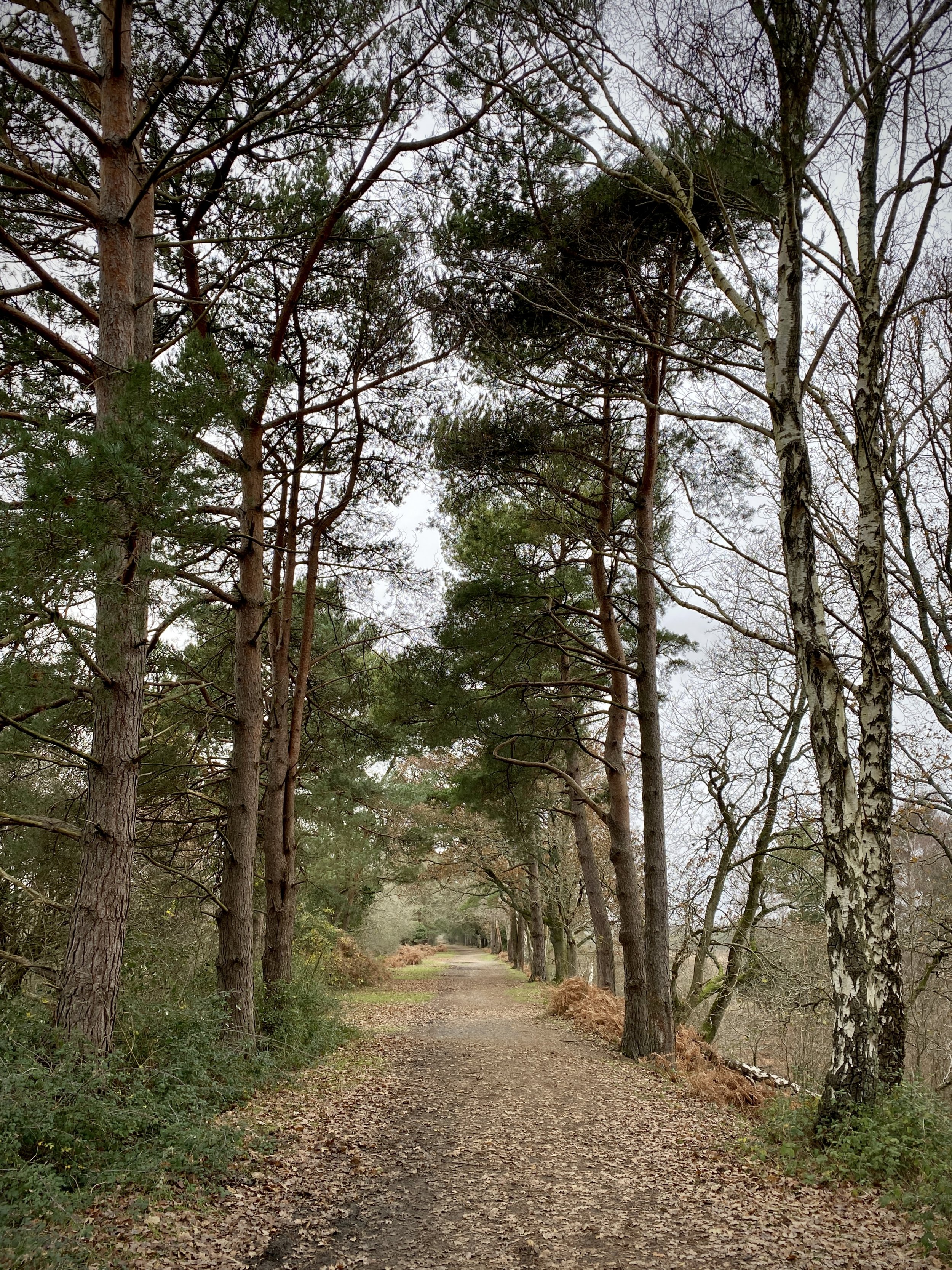
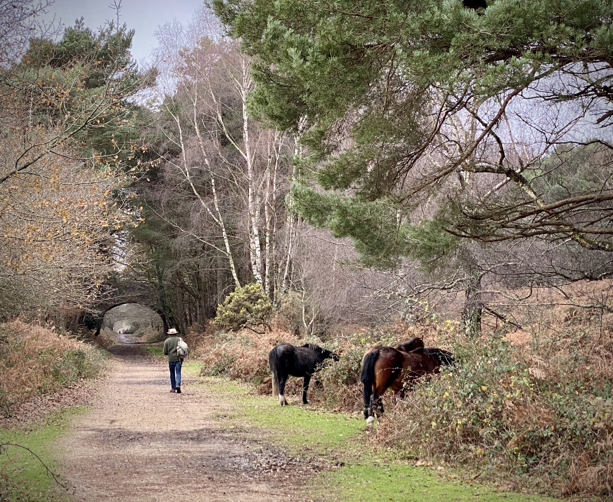
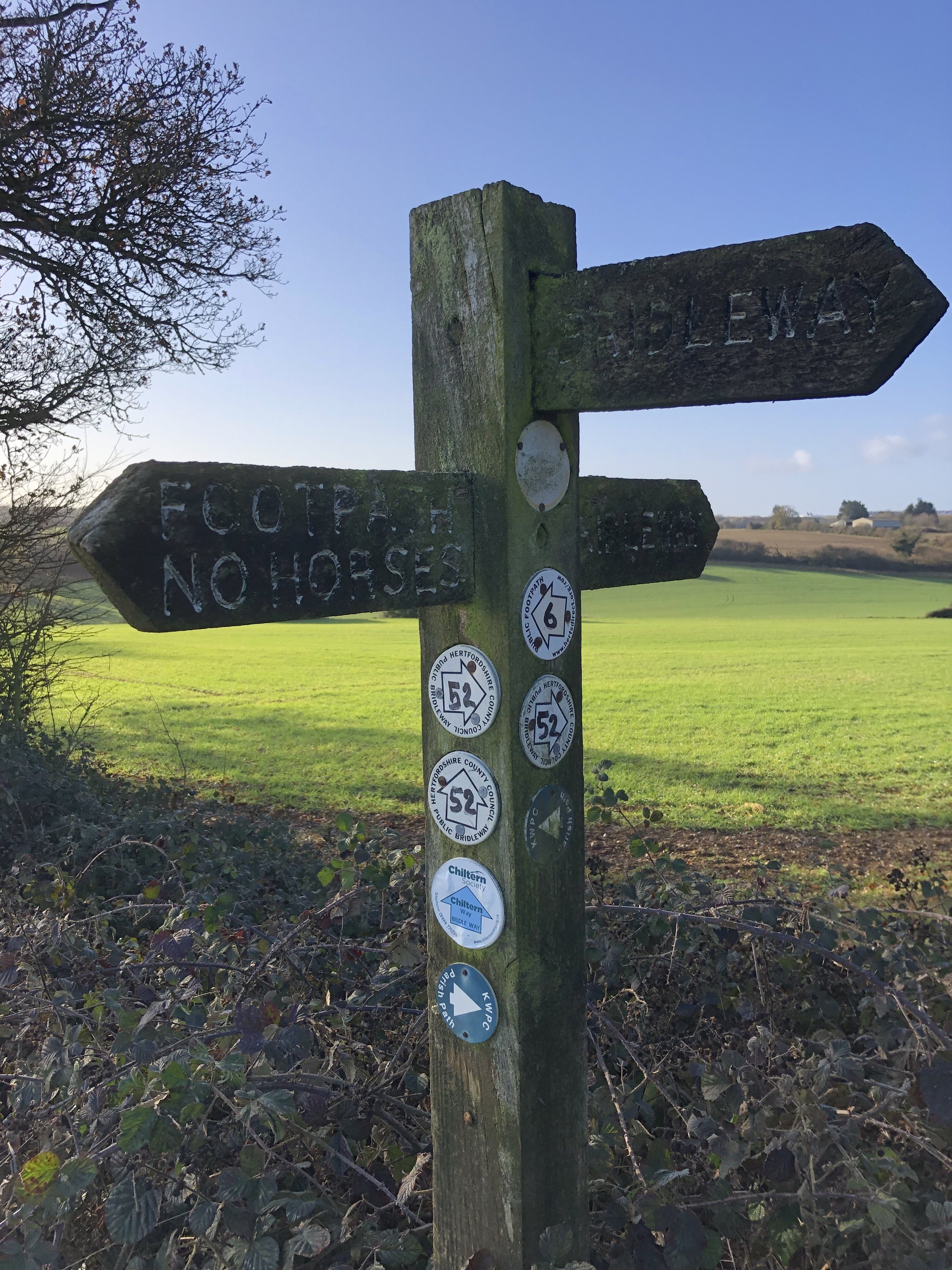
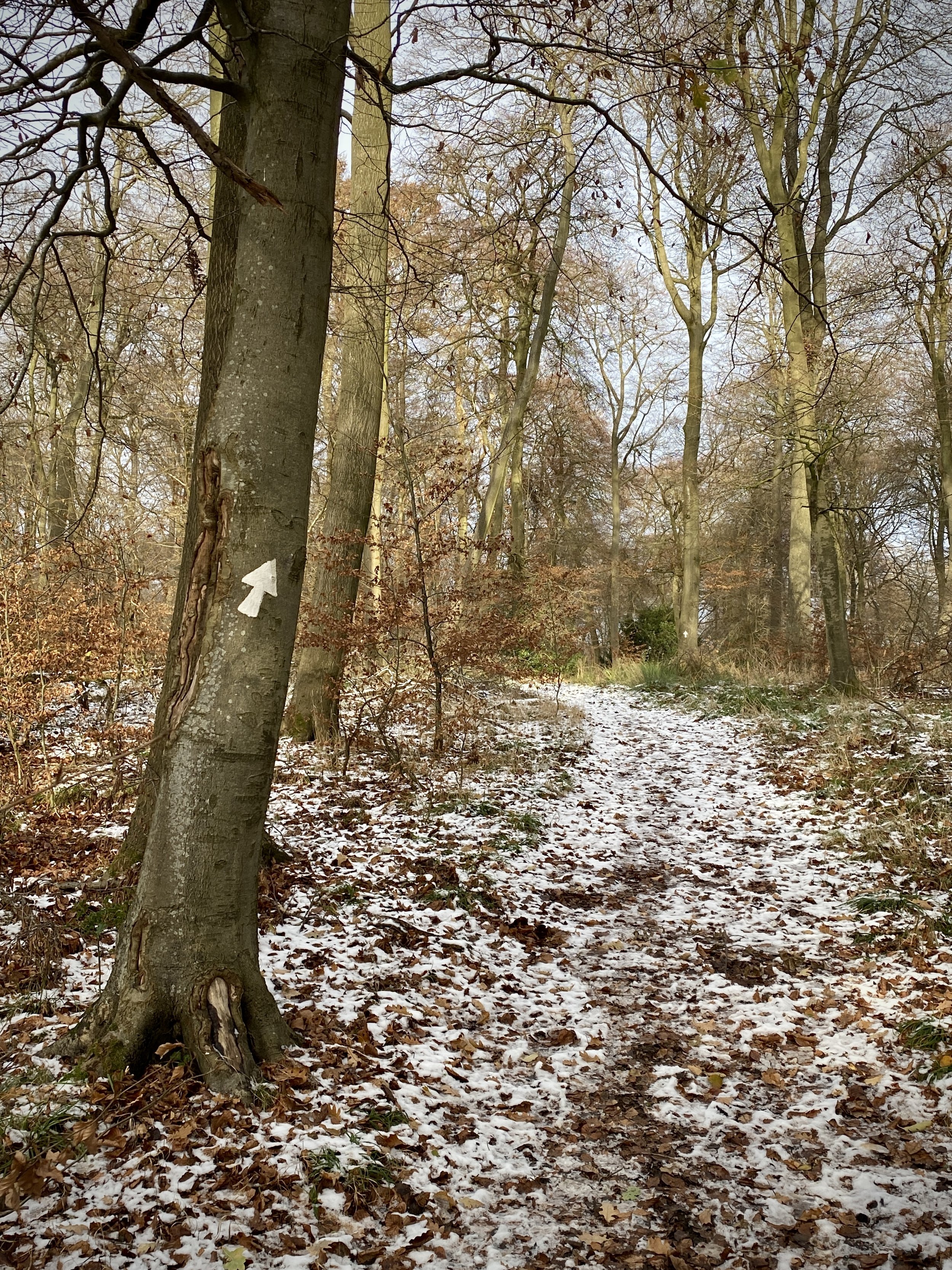
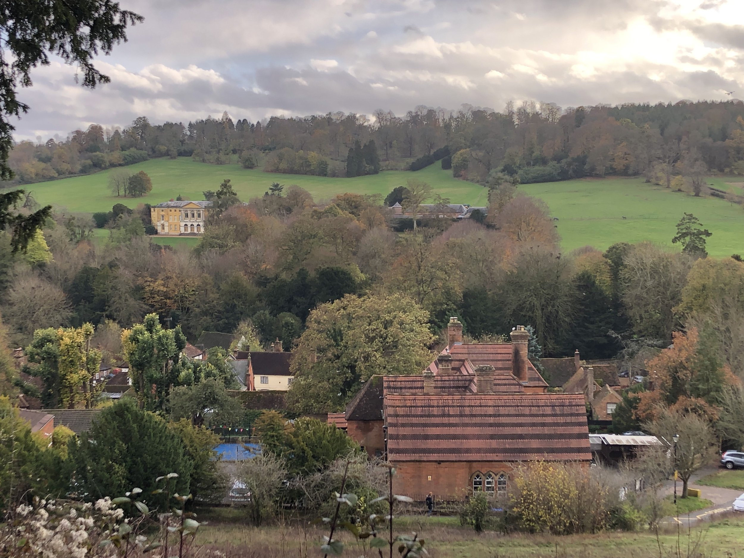
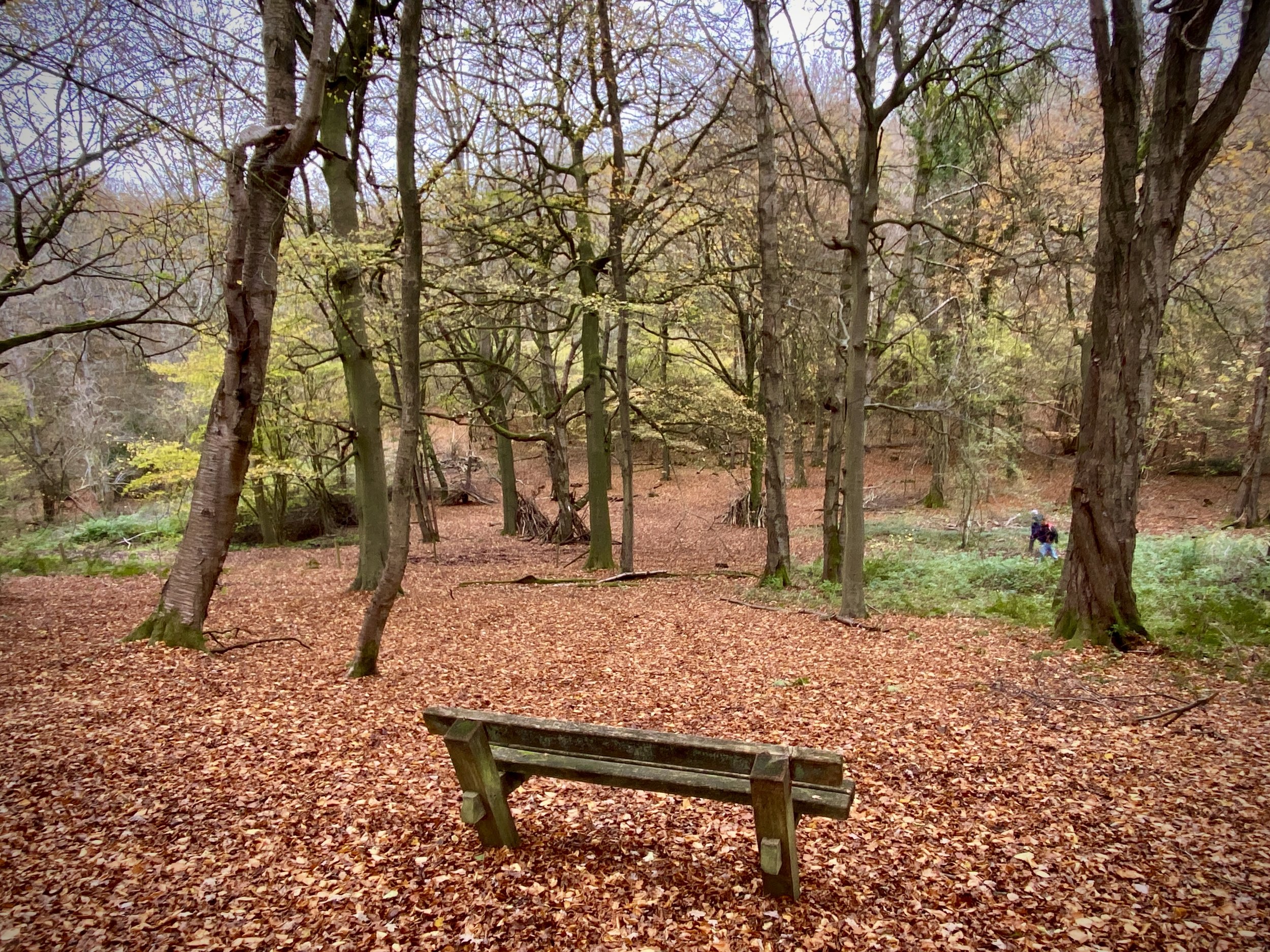
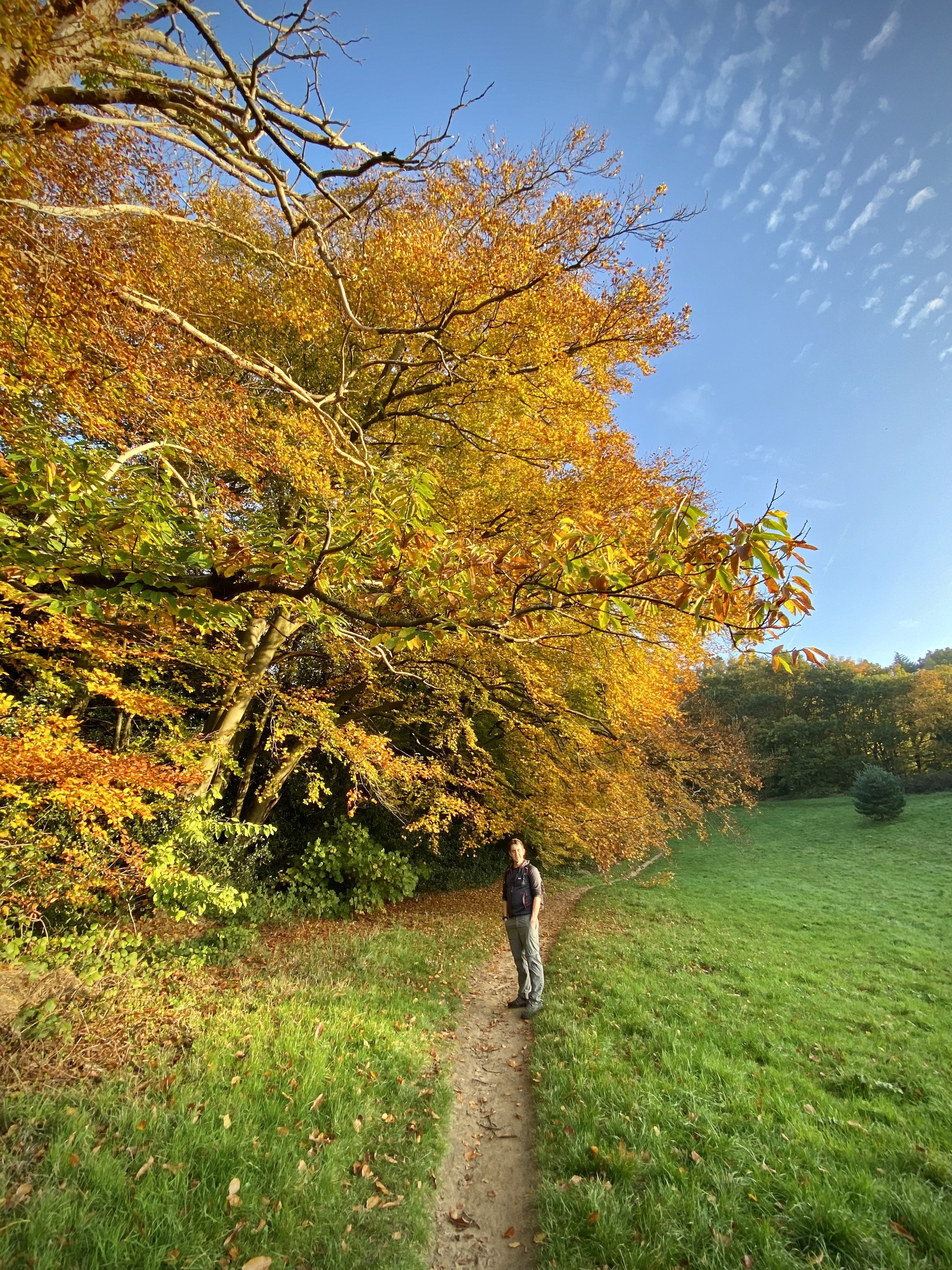
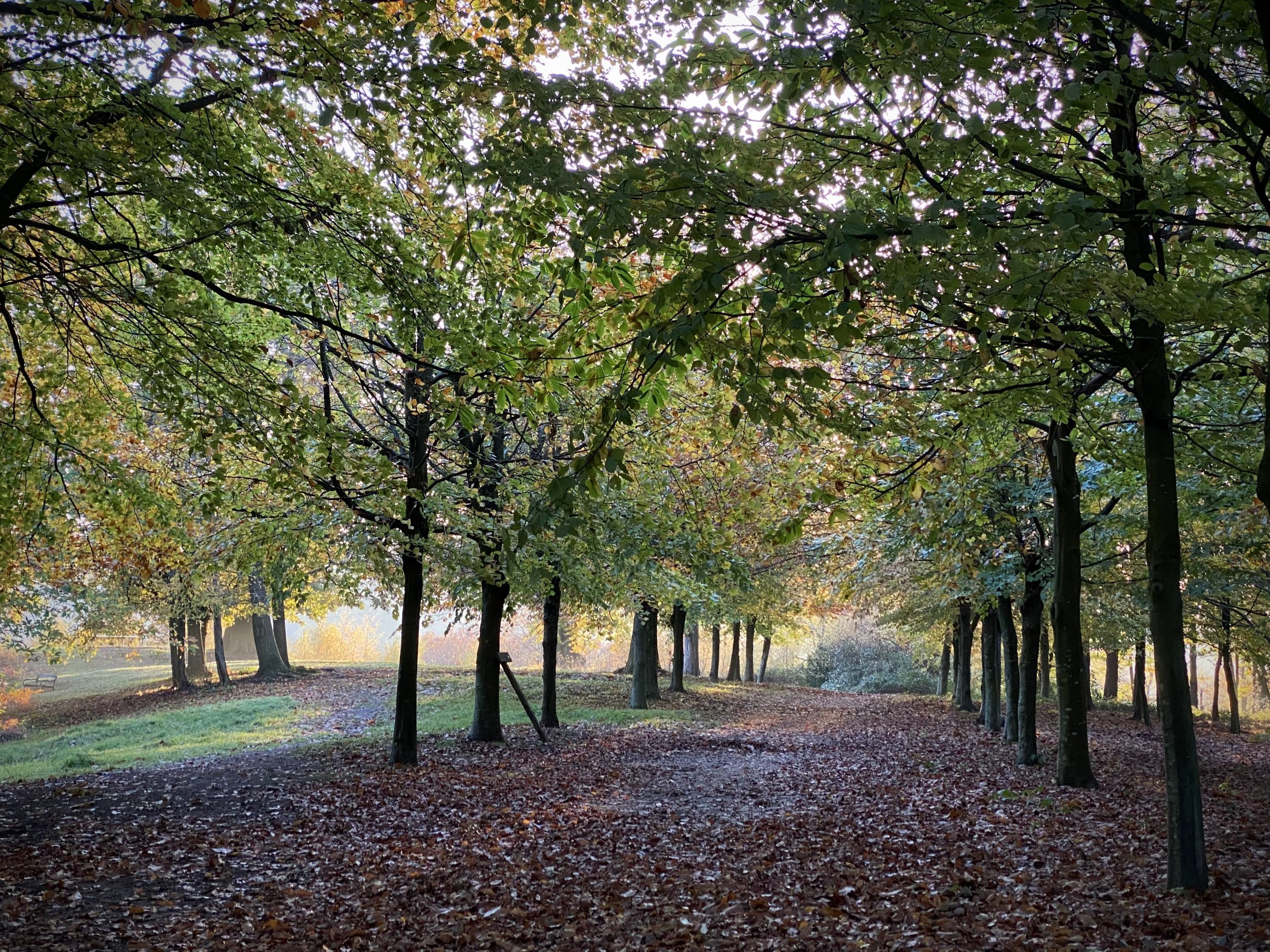
Once on the Phoenix Trail navigation is as simple as you’d expect from a disused rail path. Along the way you’ll pass art installations and the locations of the three stations along the old track. The first station, Bledlow, is easy to spot as the building is still intact, albeit extended. You’ll find it on the left hand side of the Trail after crossing Sandpit Lane.

Towersey Halt, the second station is less obvious as nothing remains of it. The location is just after the bridge that crosses Chinnor Road. Further along at Thame the Trail passes through the middle of the still-intact platforms.

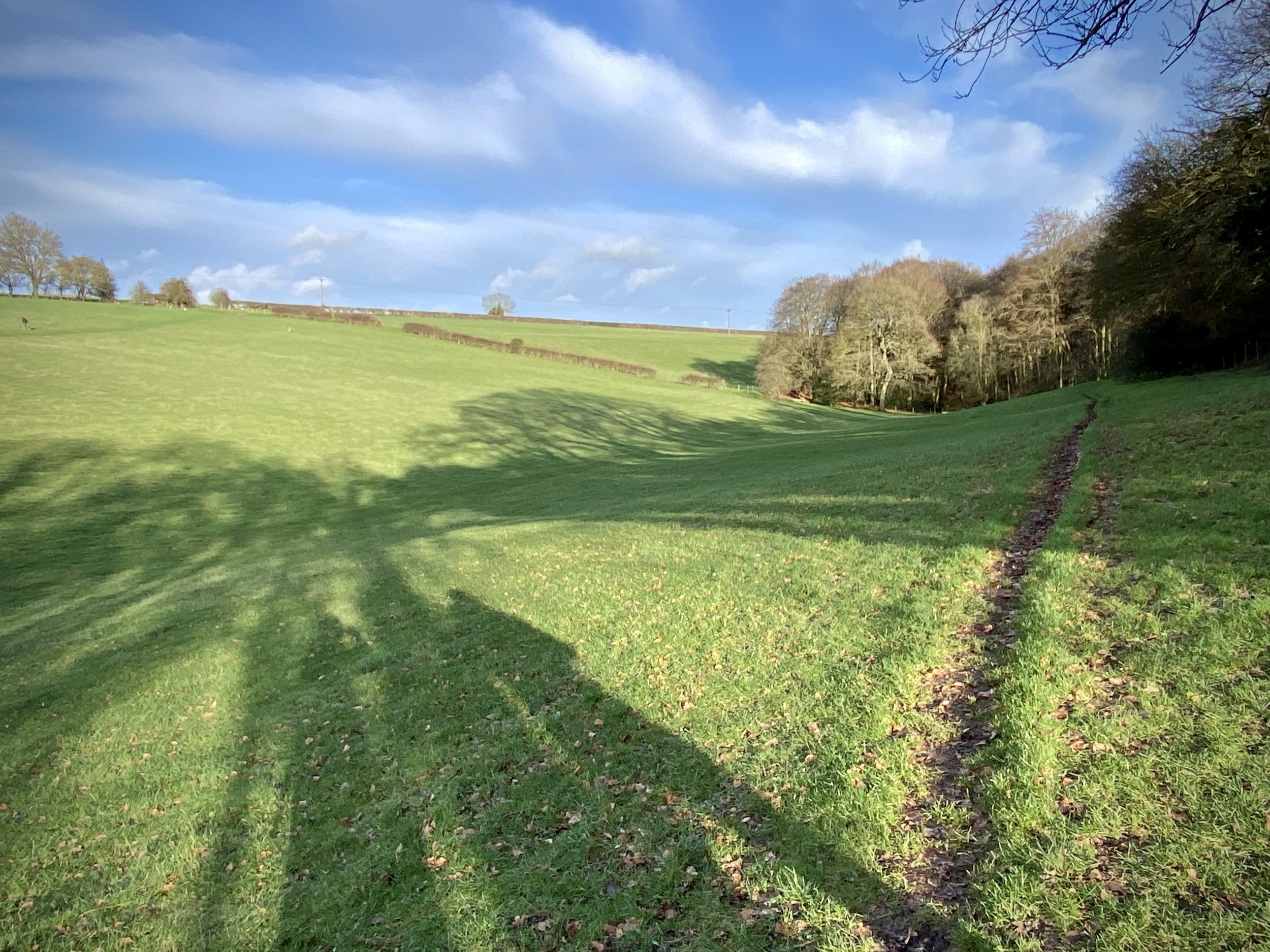
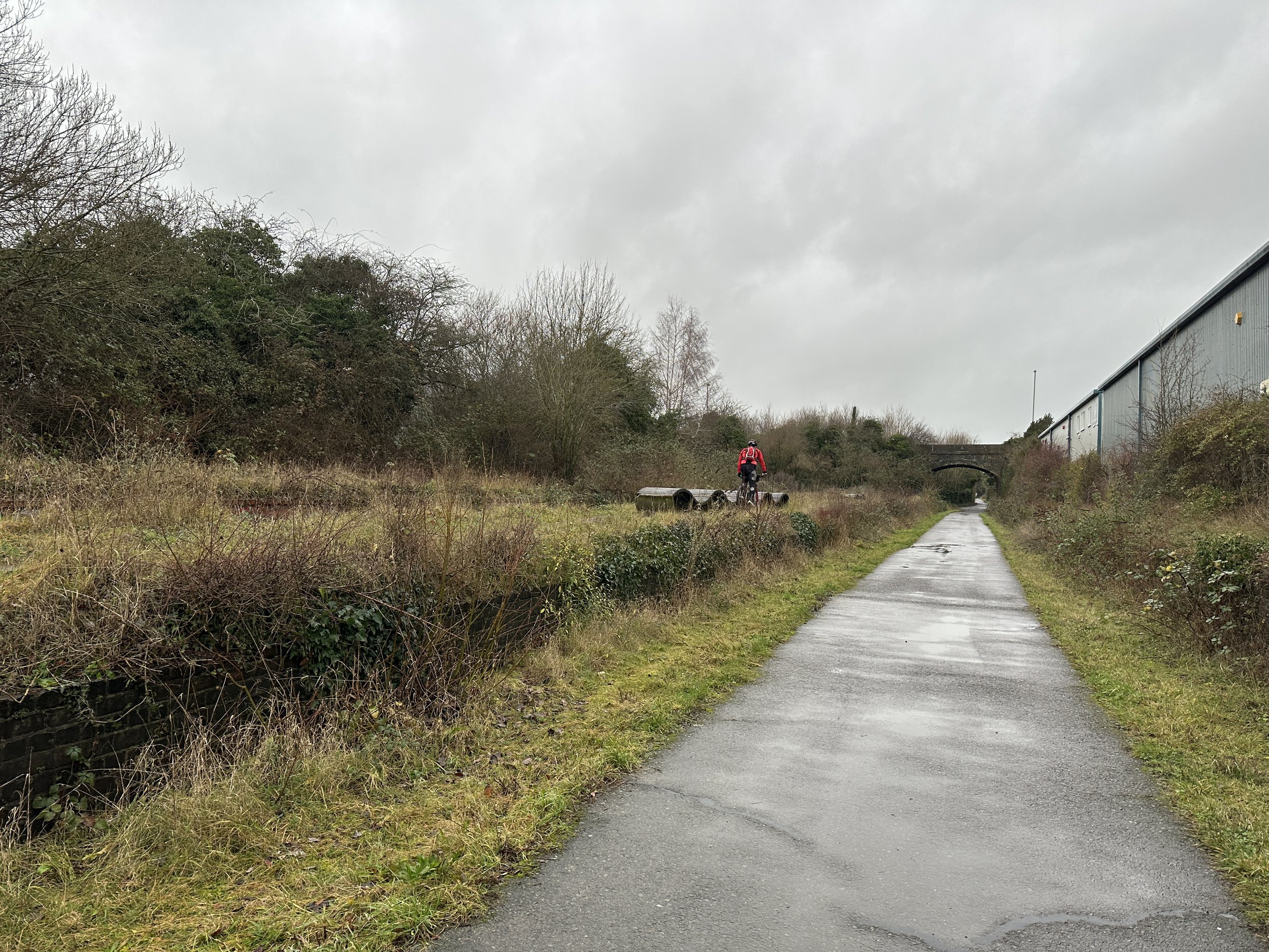
Approximately 1.5km after the old Thame station the Phoenix Trail abruptly stops and the NCN 57 takes a sharp turn to the right along Hatchett’s Lane. Here you have a choice of following the NCN 57 round to the roundabout and taking a left onto the A329 or you can continue along the path of the old rail line along a bumpy footpath. We took the footpath option to arrive at the A329 opposite a car dealership.

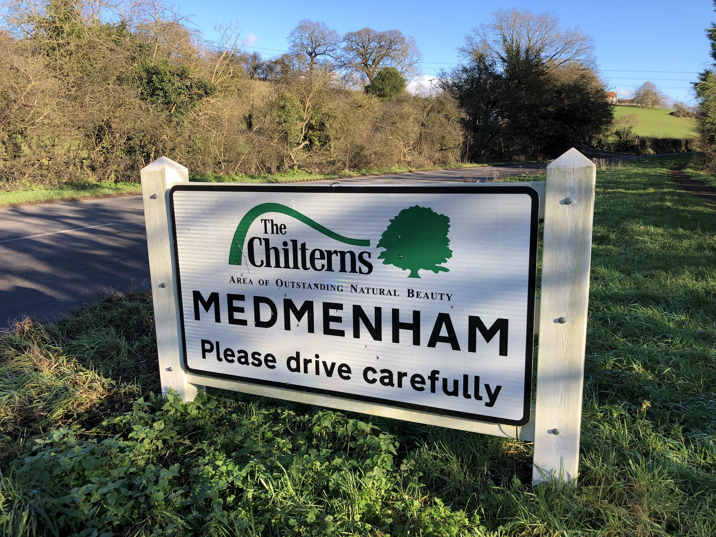
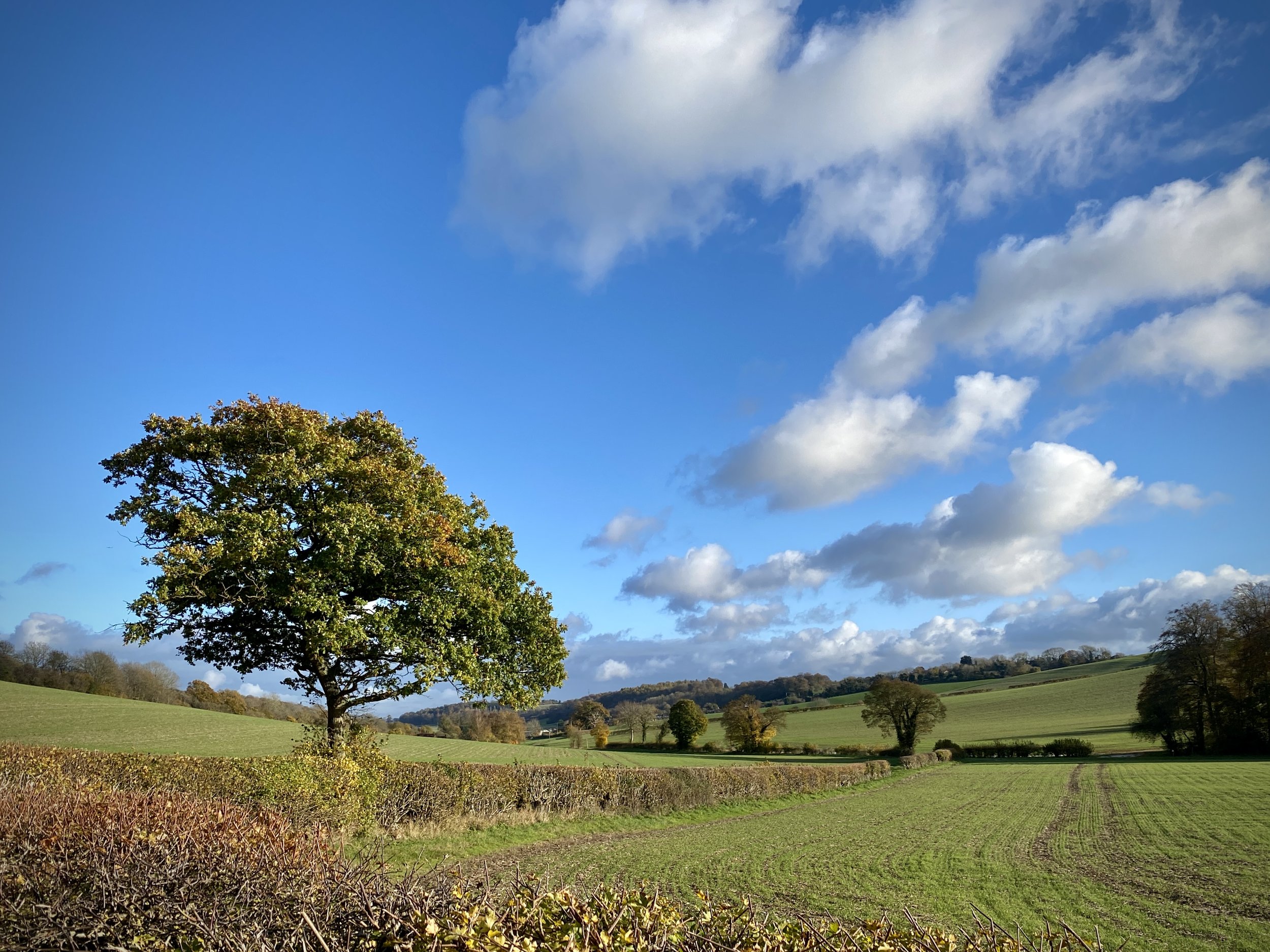
From here the Wycombe Railway continued west to the next station at Tiddington then on to Oxford. For our trip it was the end of the line as there’s no option to continue along the old rail route. We headed south along the A329, then took country roads to Watlington via Tetsworth.

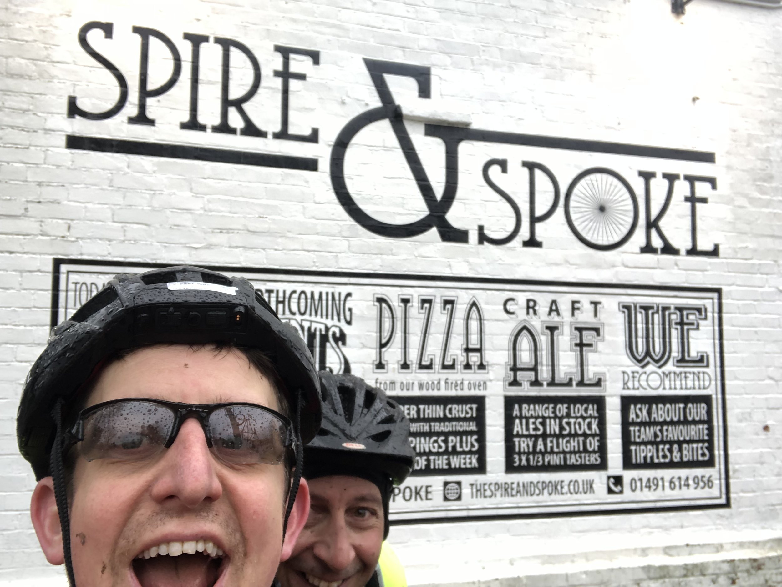
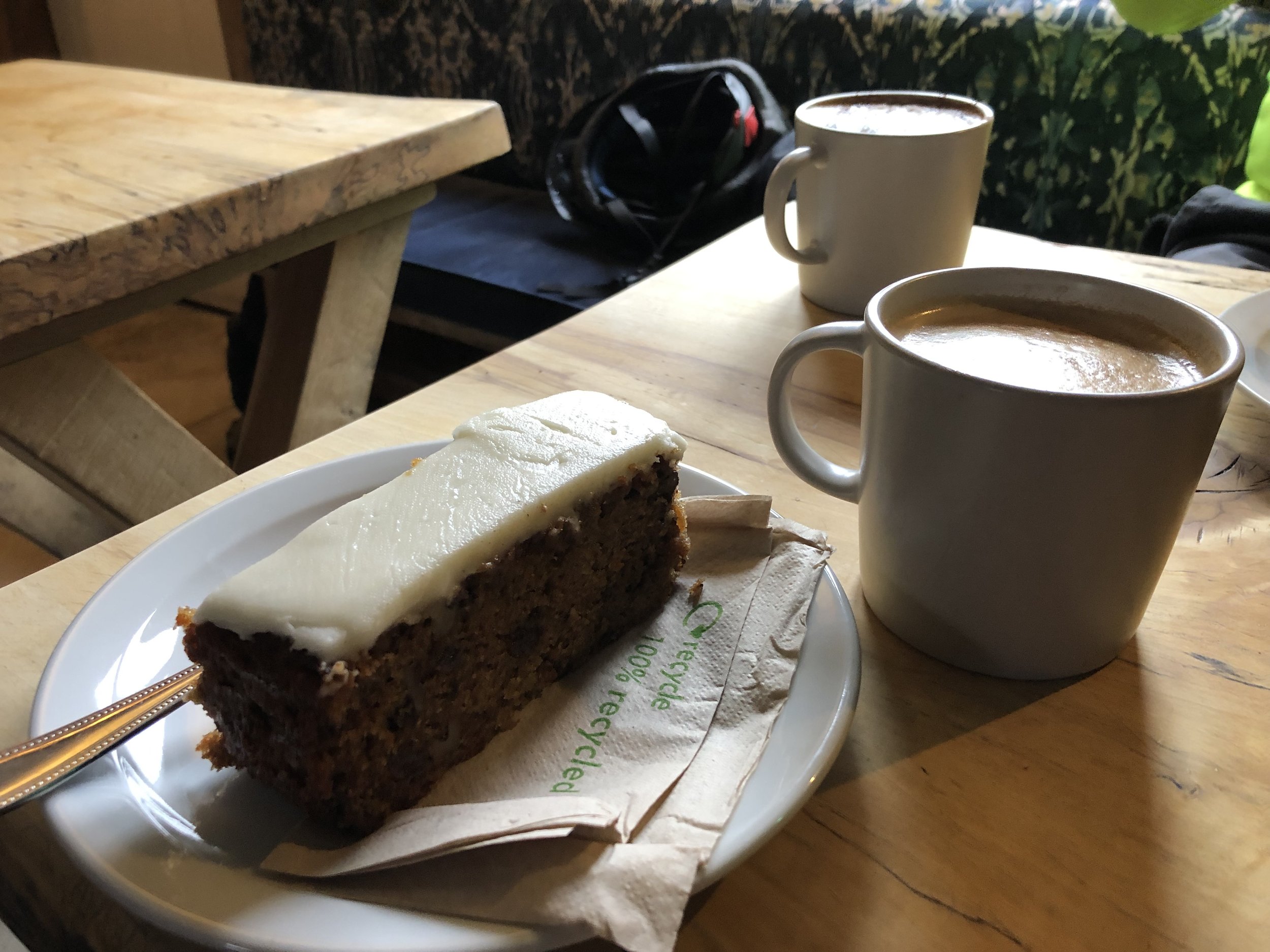
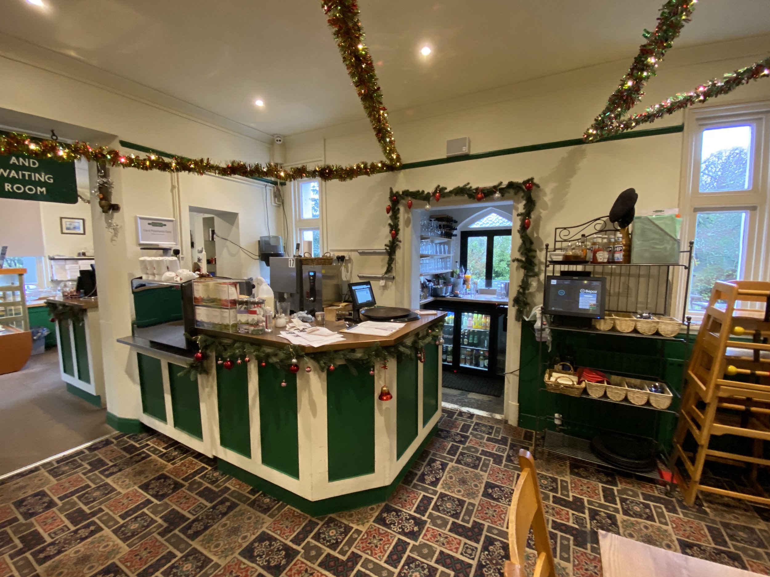
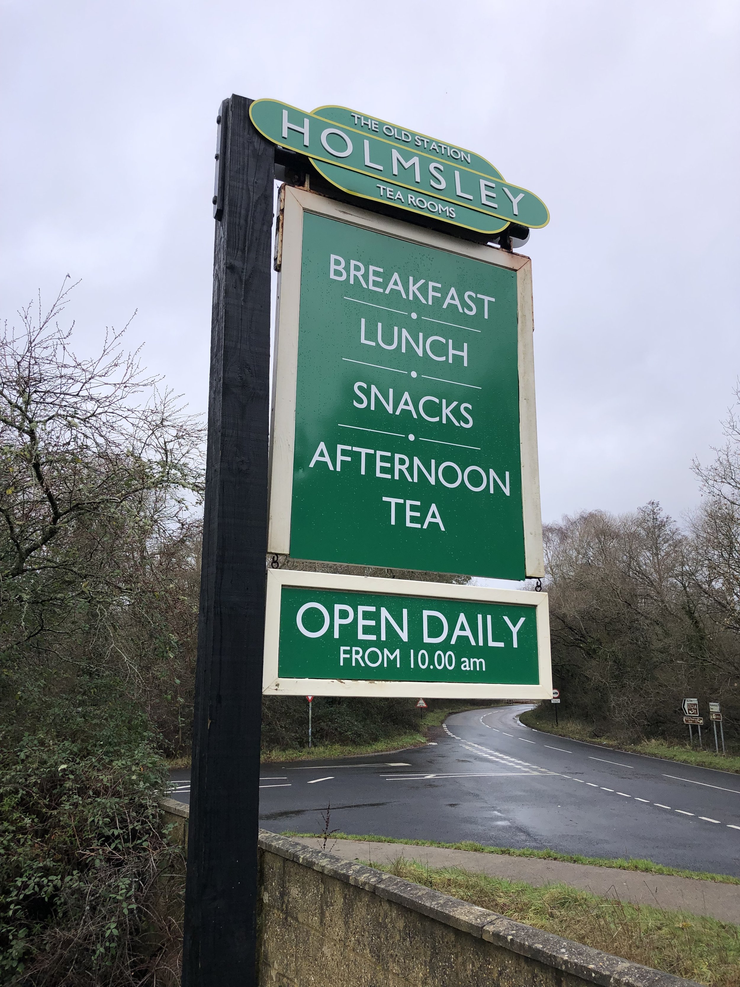
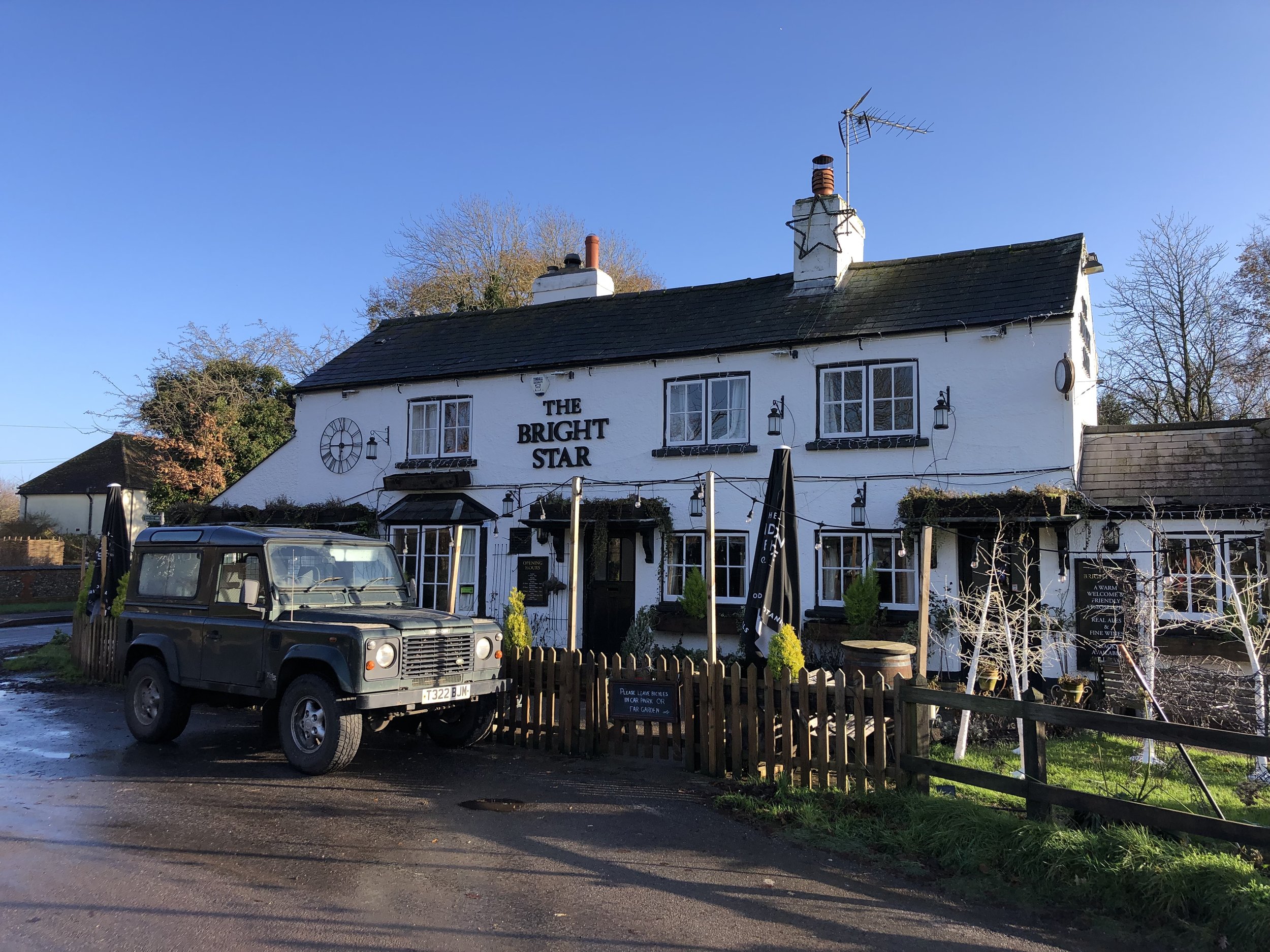
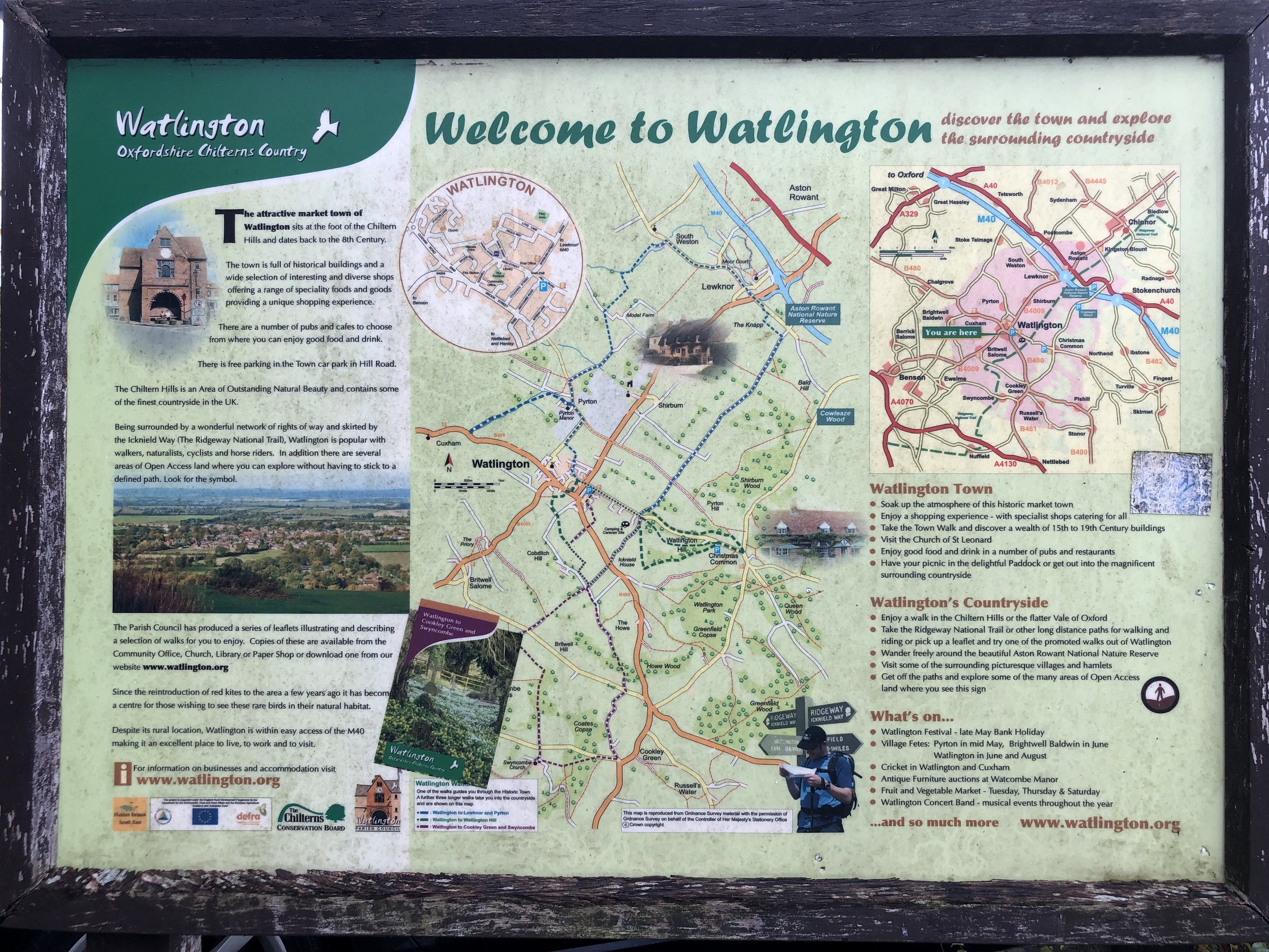
Watlington is a great place to stop for a rest before exploring the more challenging final section of the route. My new favourite cycle cafe/pub is the Spire and Spoke on Hill Road. A couple of coffees and a carrot cake were perfect fuel for the rest of the ride.

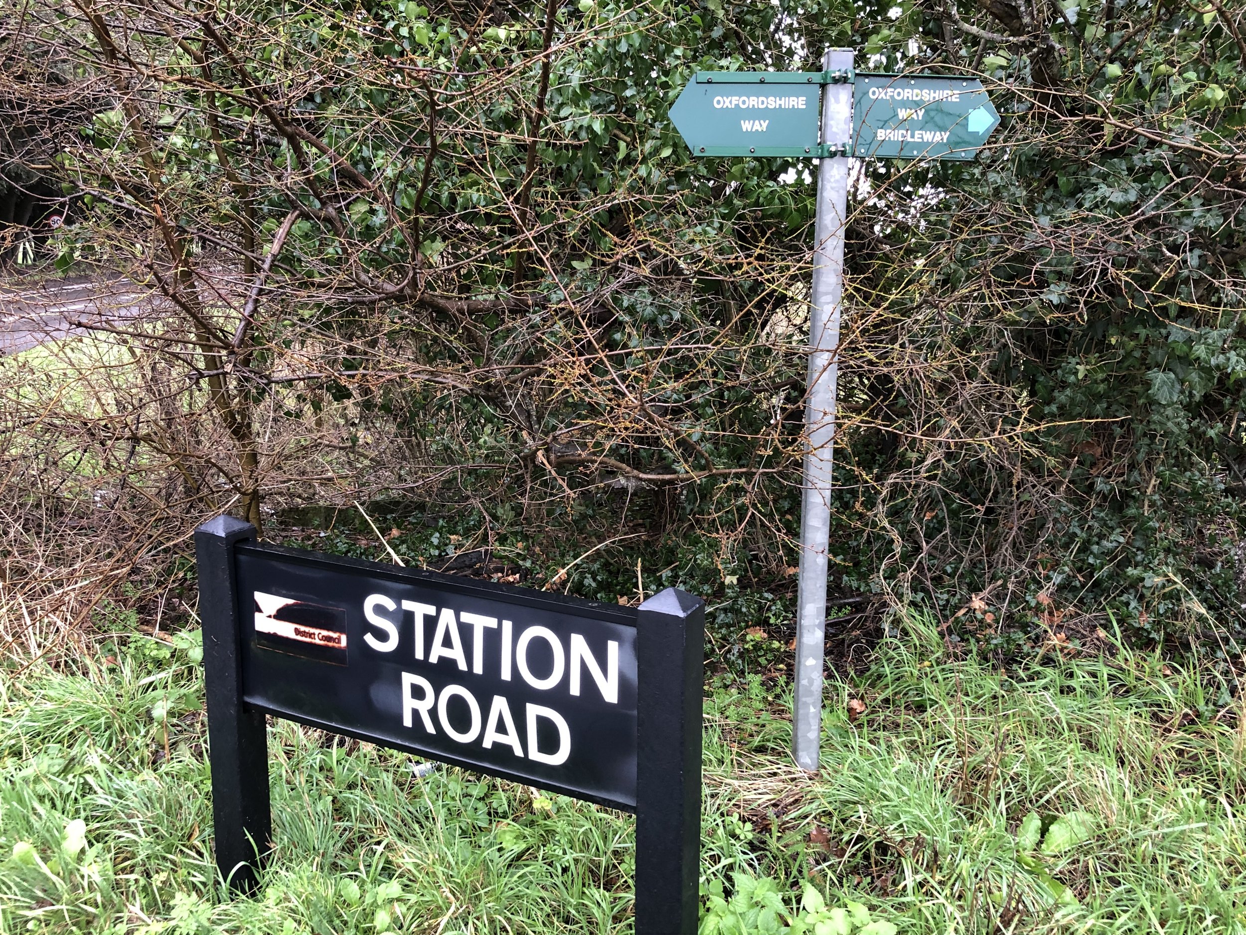
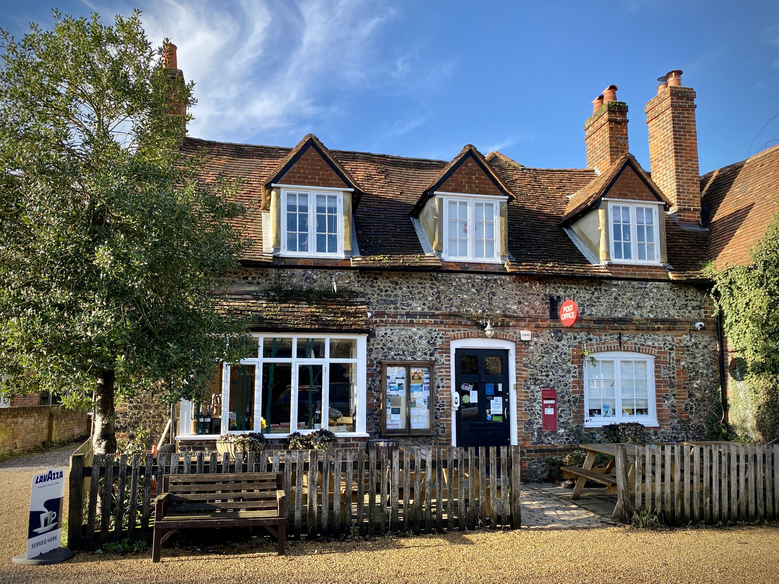
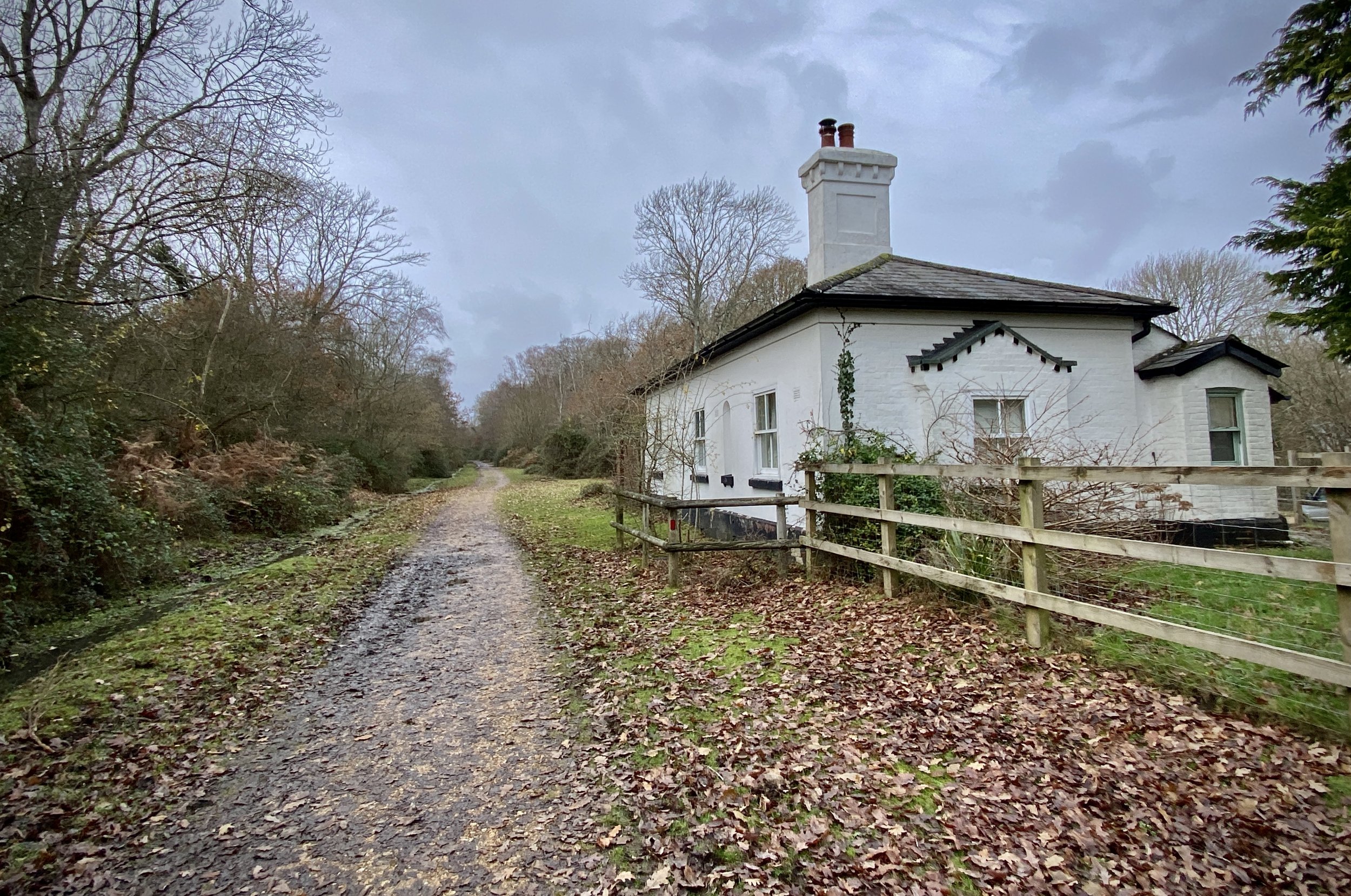
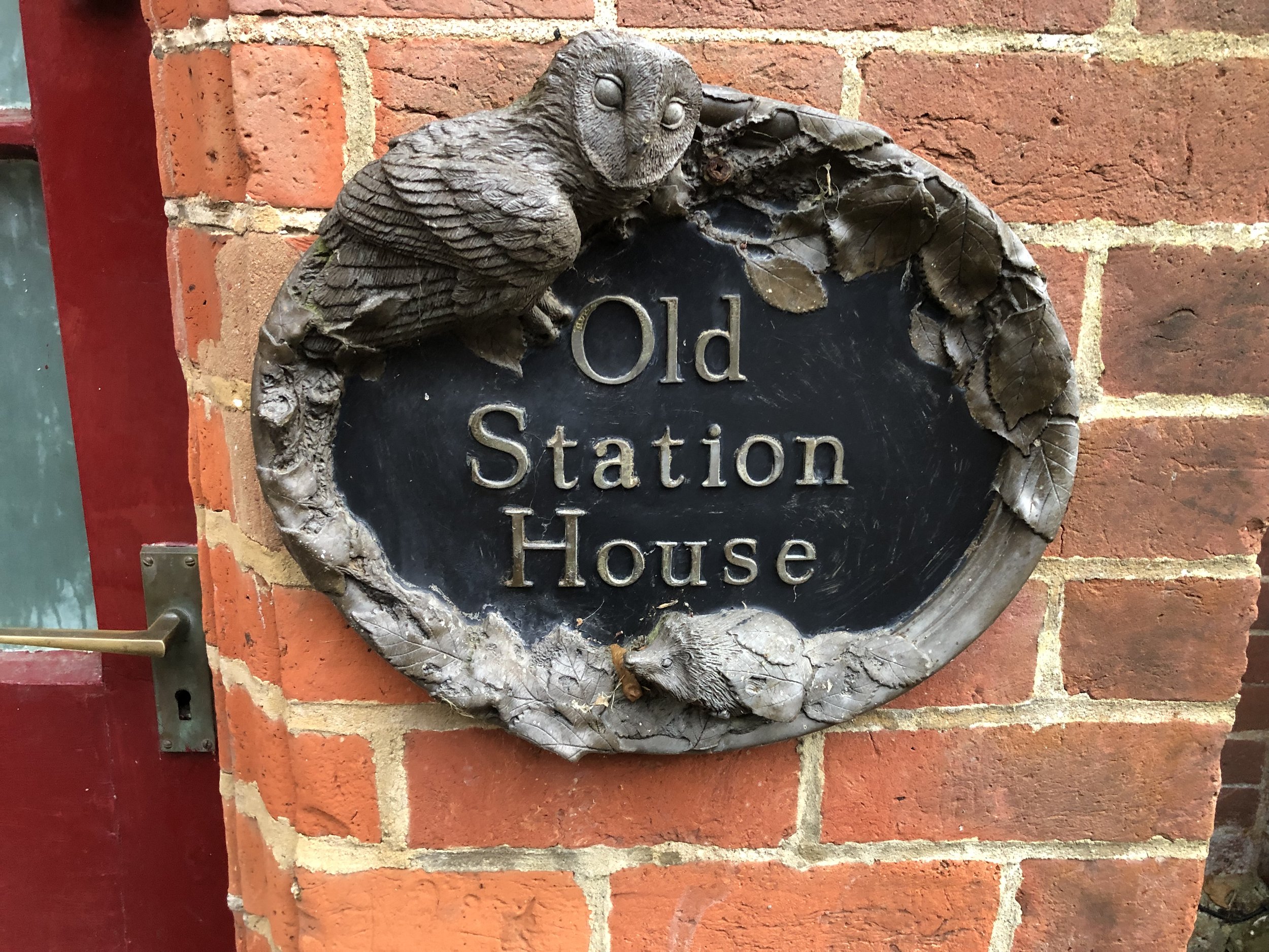
After the Spire and Spoke, the remains of the old Watlington Station can be found on Station Road, just off the B4009 Watlington Road. The station, which was the end of the line from Princes Risborough, is on private land but you can see the roof and chimney from the gate on Station Road.

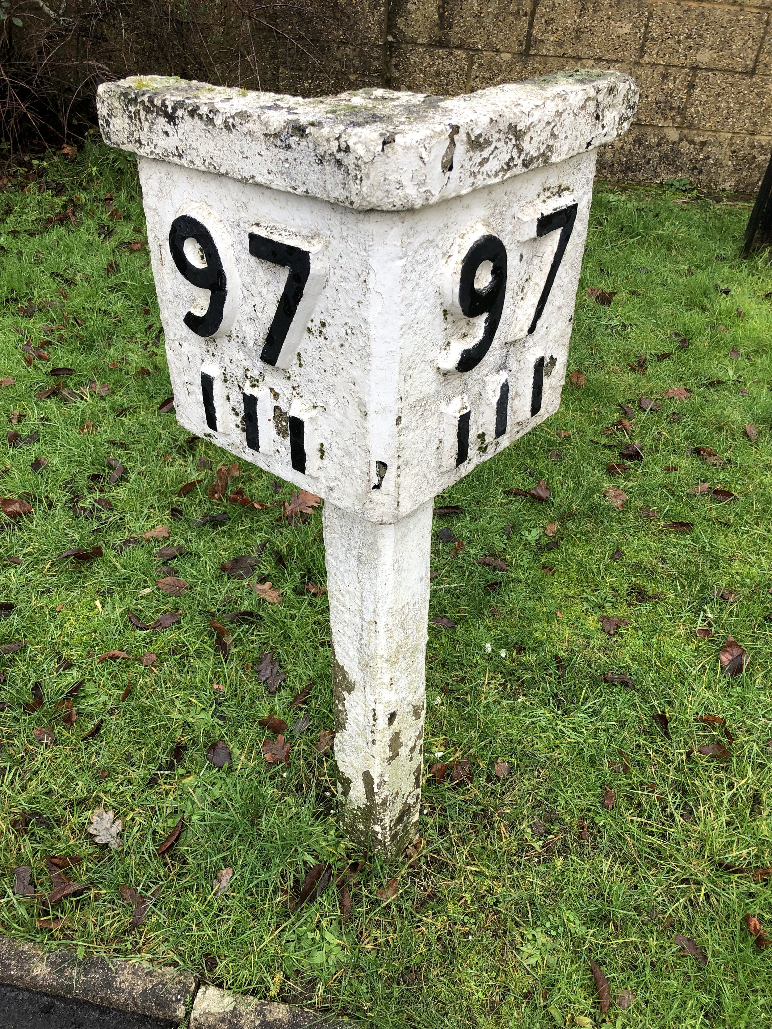
After Watlington Station, go back along Station Road and take a right onto the B4009 Watlington Road heading north-east. After 3km you’ll reach the B4009/M40 Bus Link with parking spots at the side of the road. This is the location of the old Lewknor Bridge Halt. According to the Wikipedia article, the steps up to the Halt are still there. We only found the steps down to Hill Road on the northern side which are probably not the same.

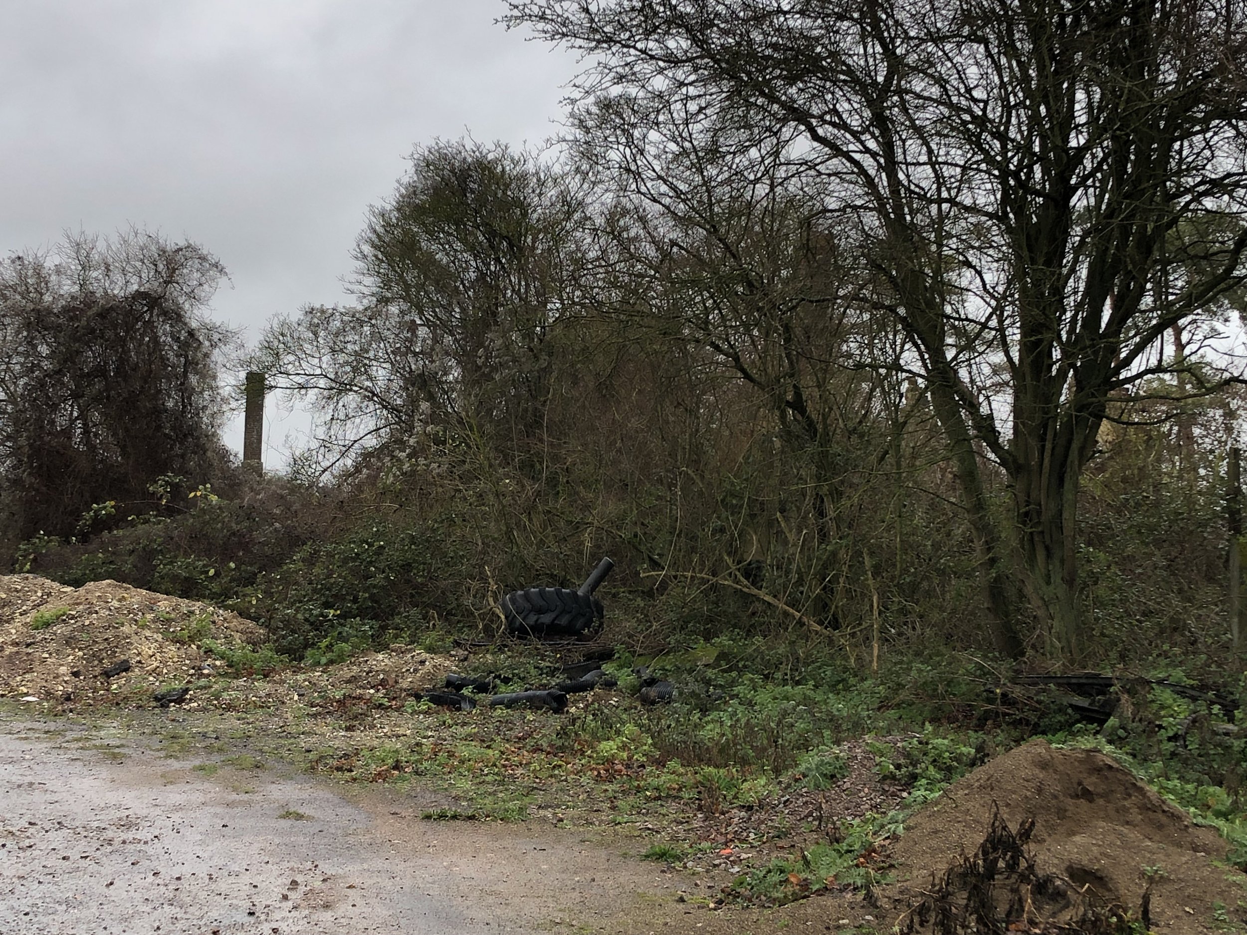
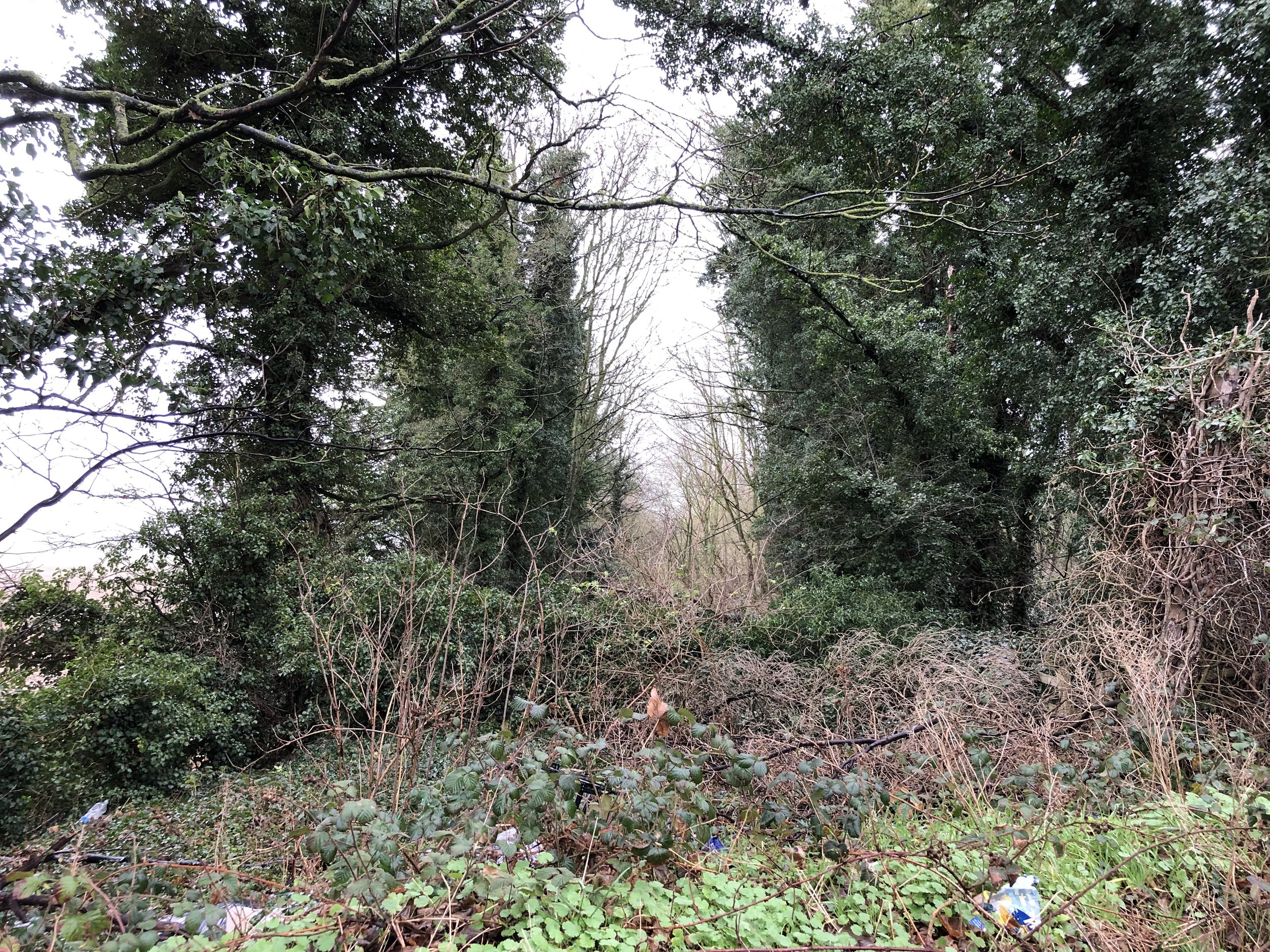
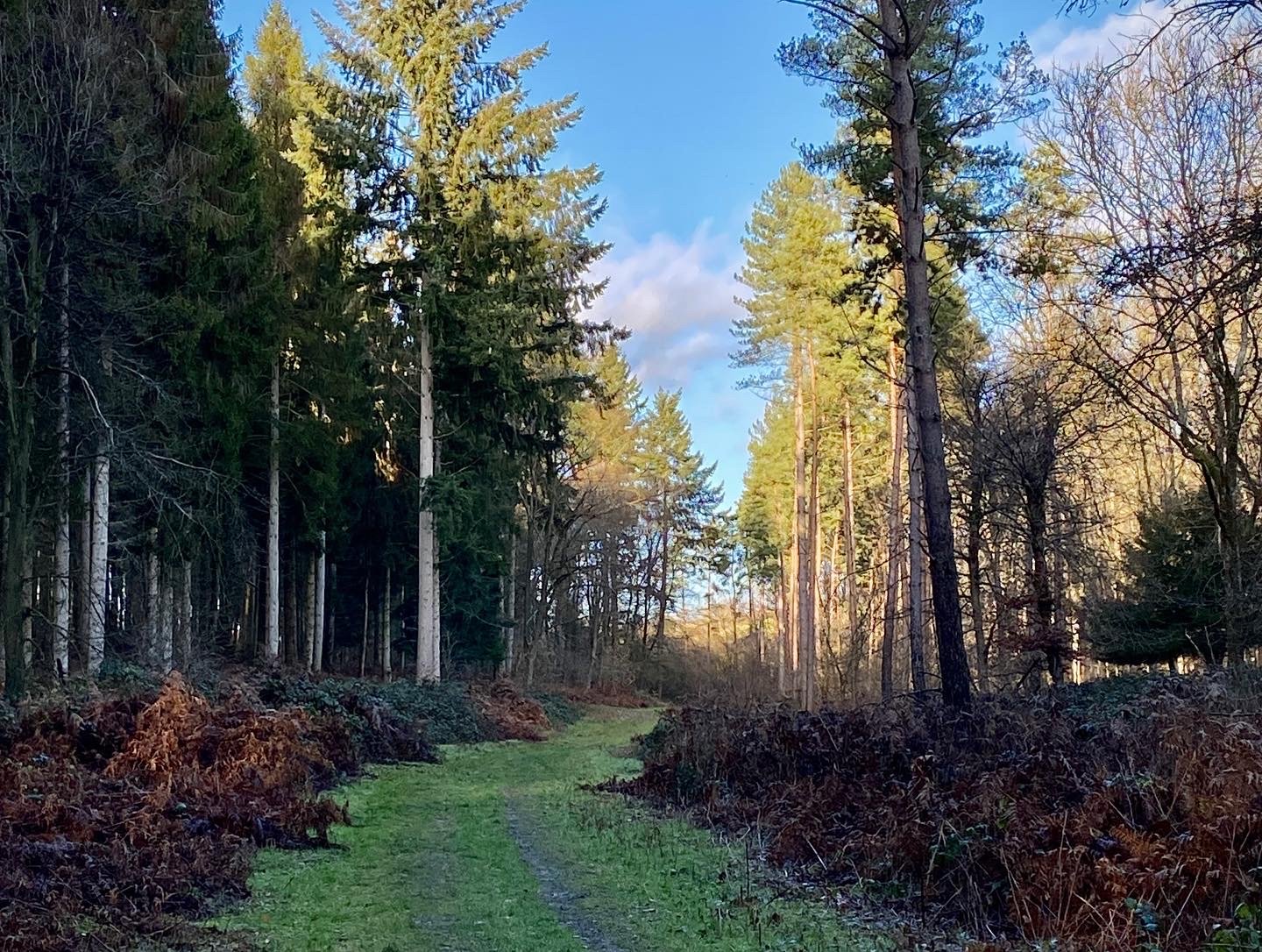
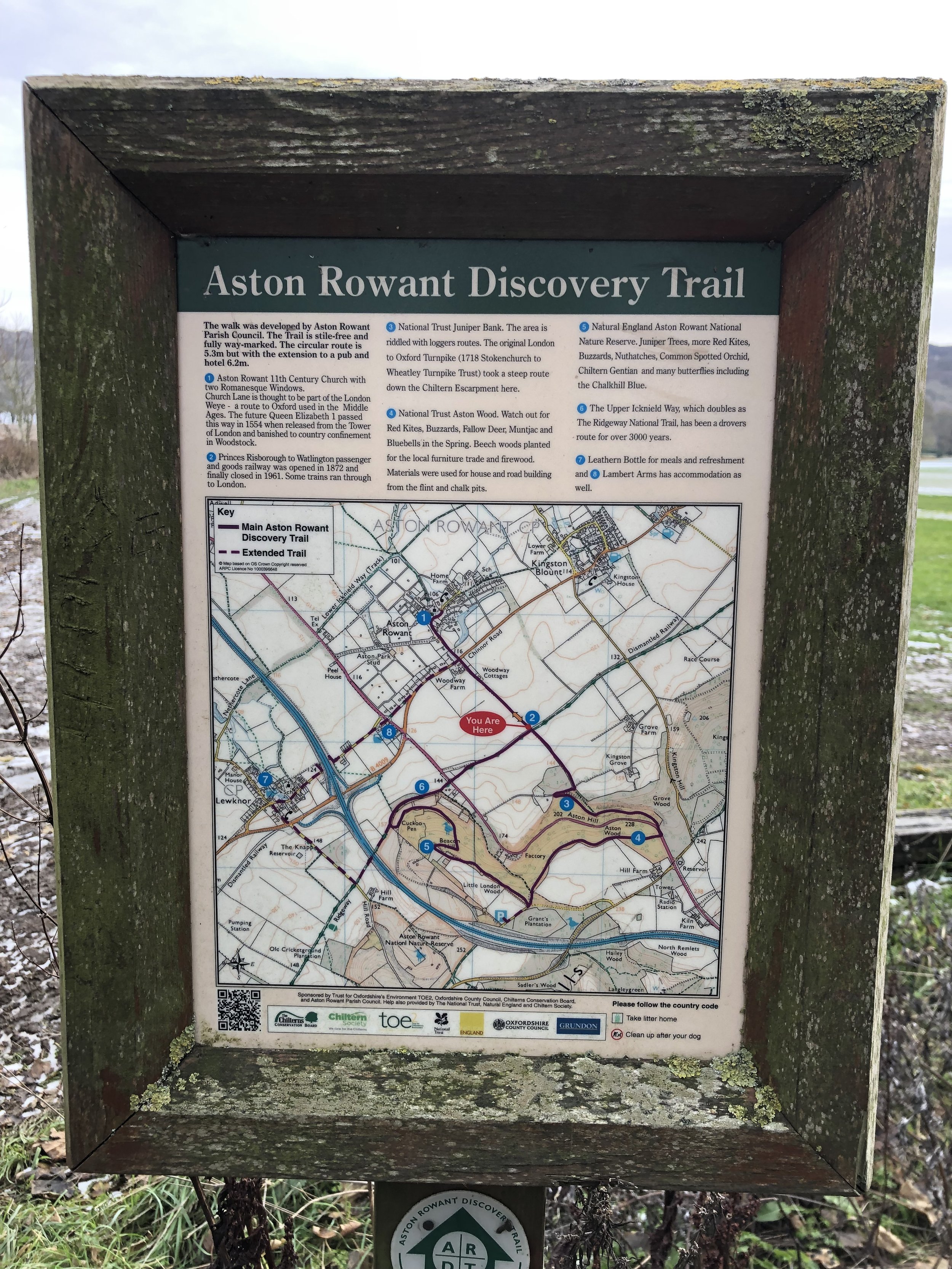
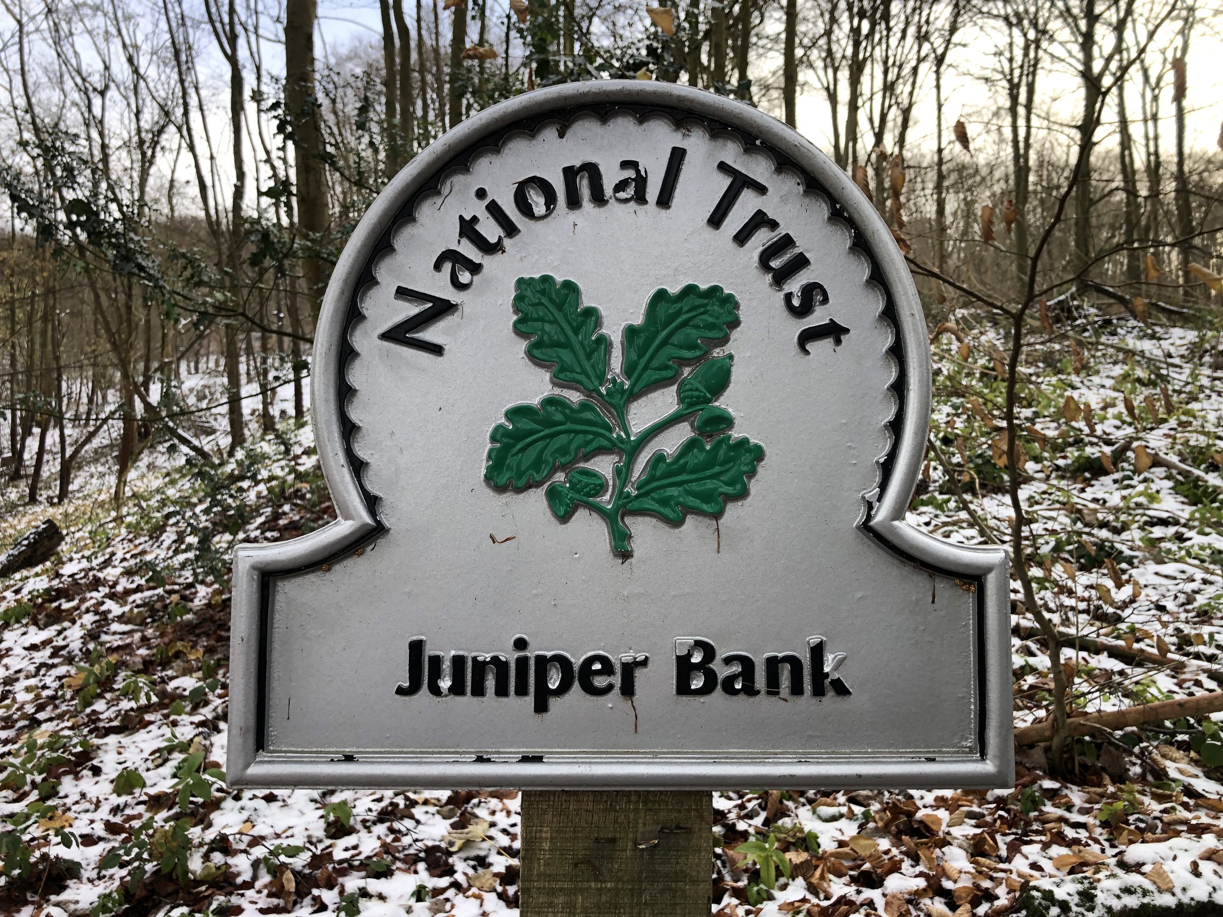
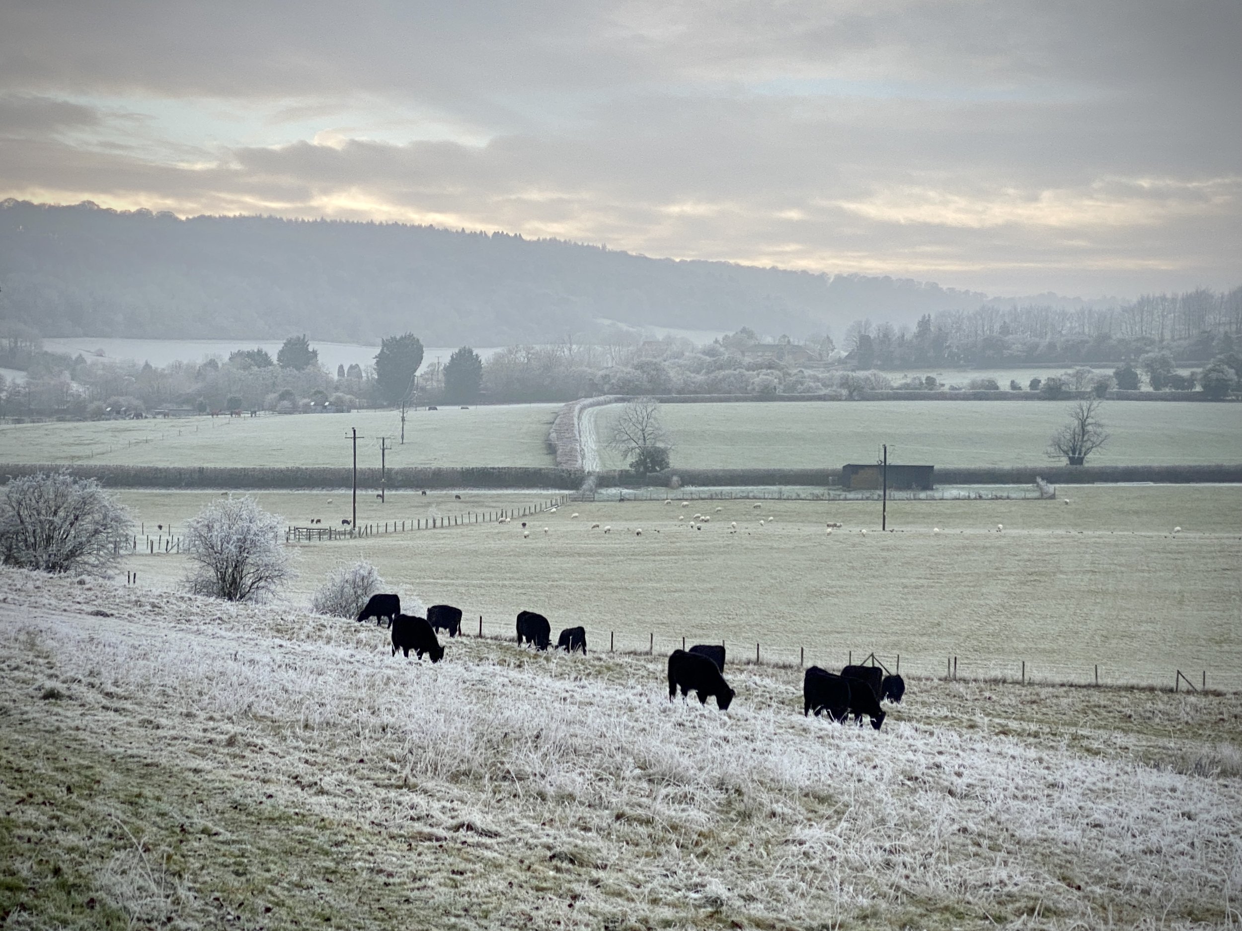
Further along the B4009 the road goes under the M40. After the motorway exit take a right onto Aston Lane and continue until you reach some woodland on the left before the first house. Some remains of the old Aston Rowant Station can be found in the woods. We decided not to explore that day but I might return another time.

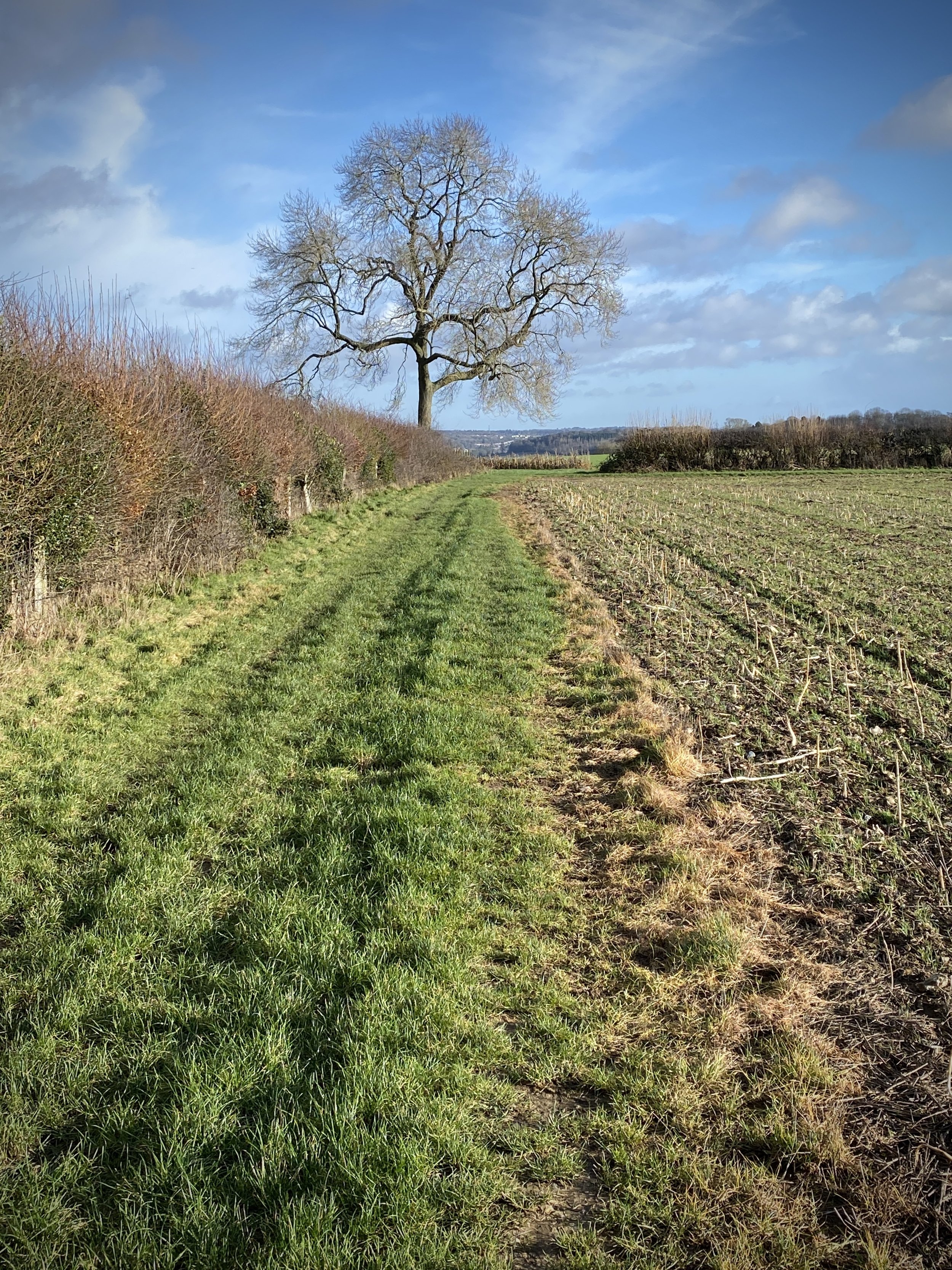
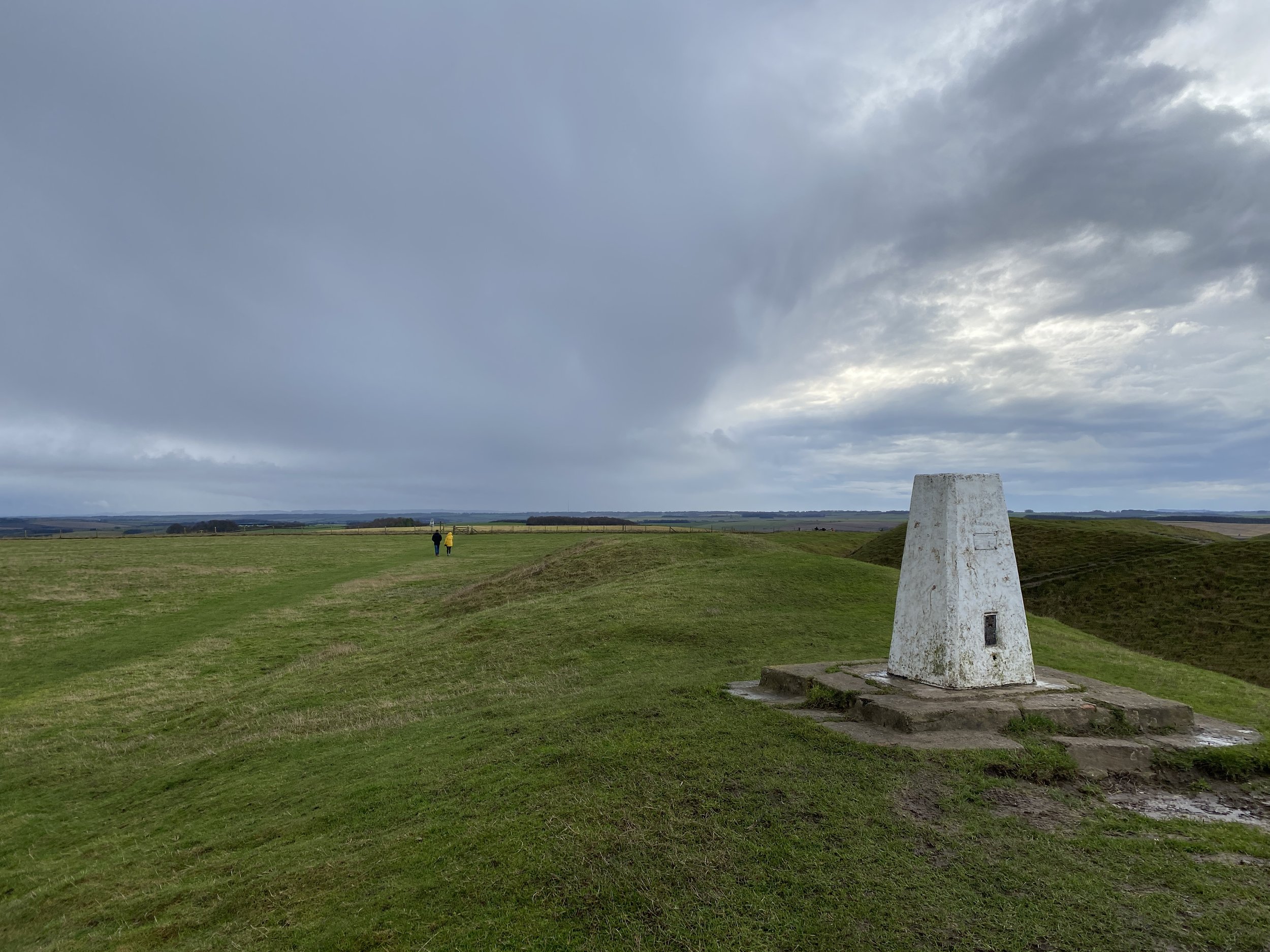
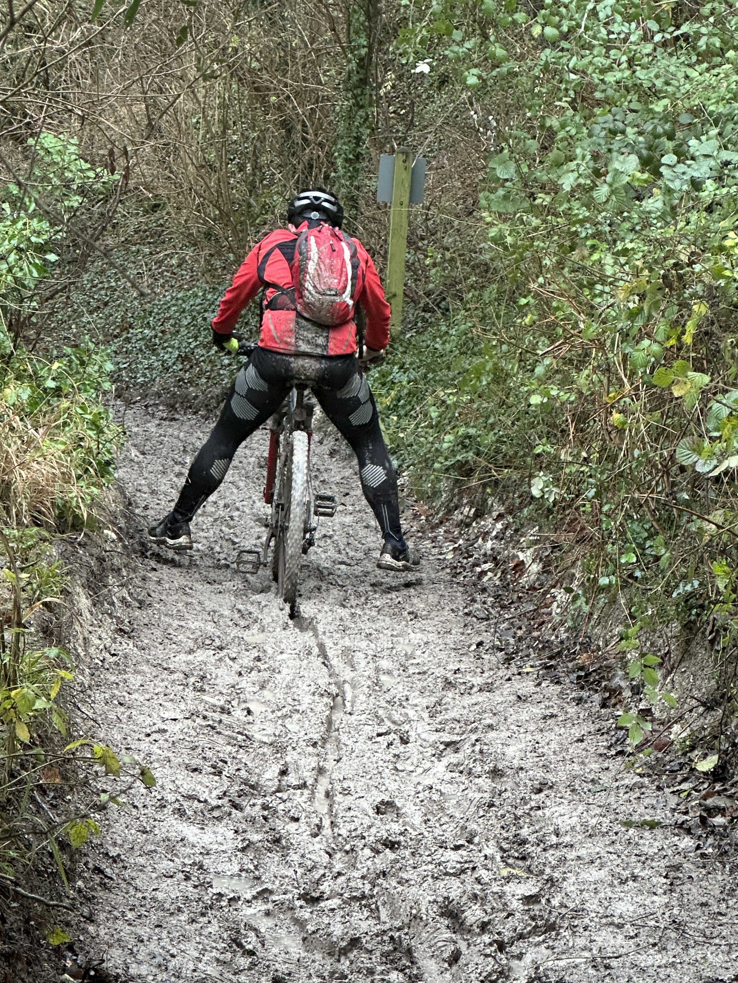
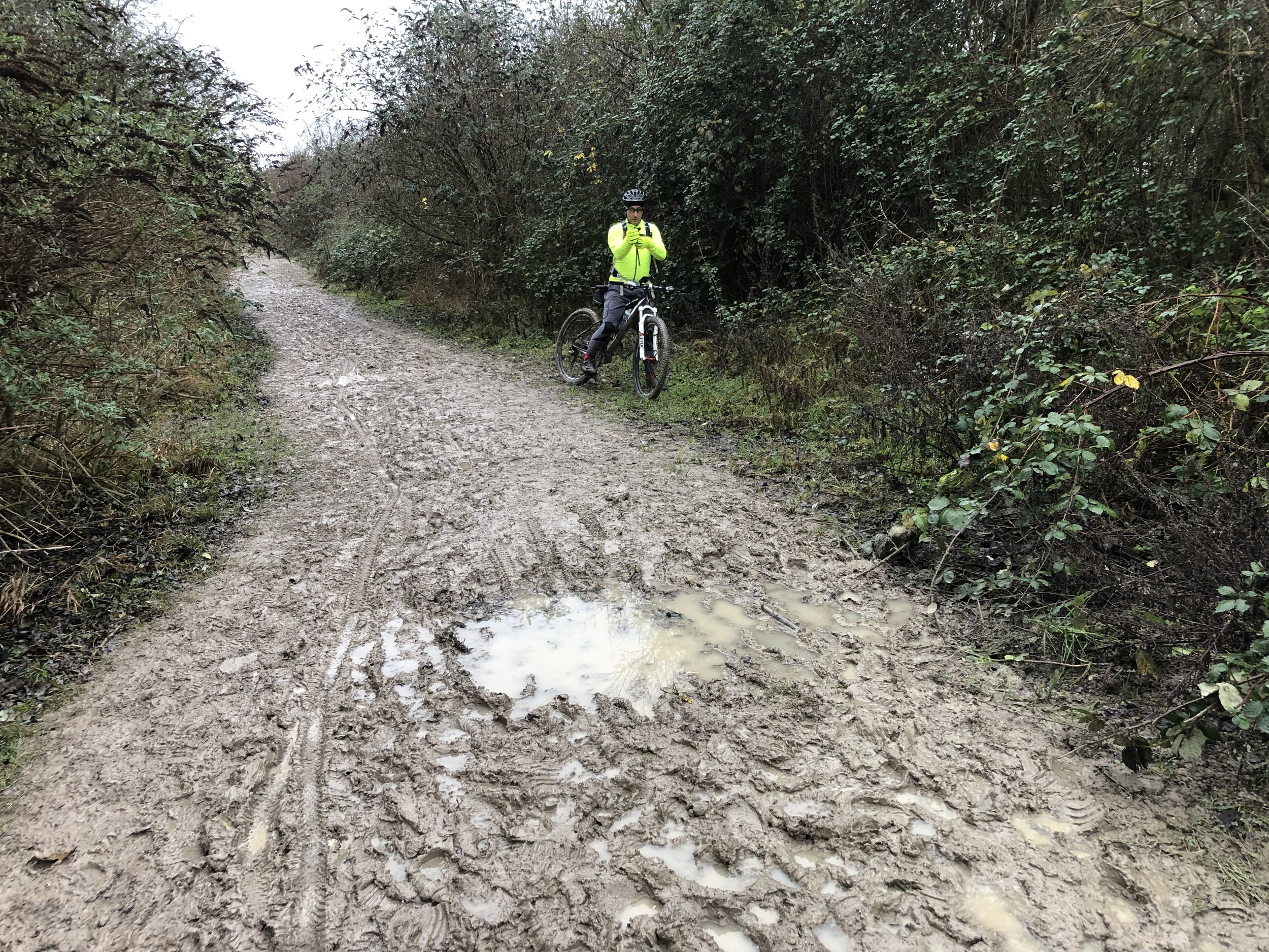
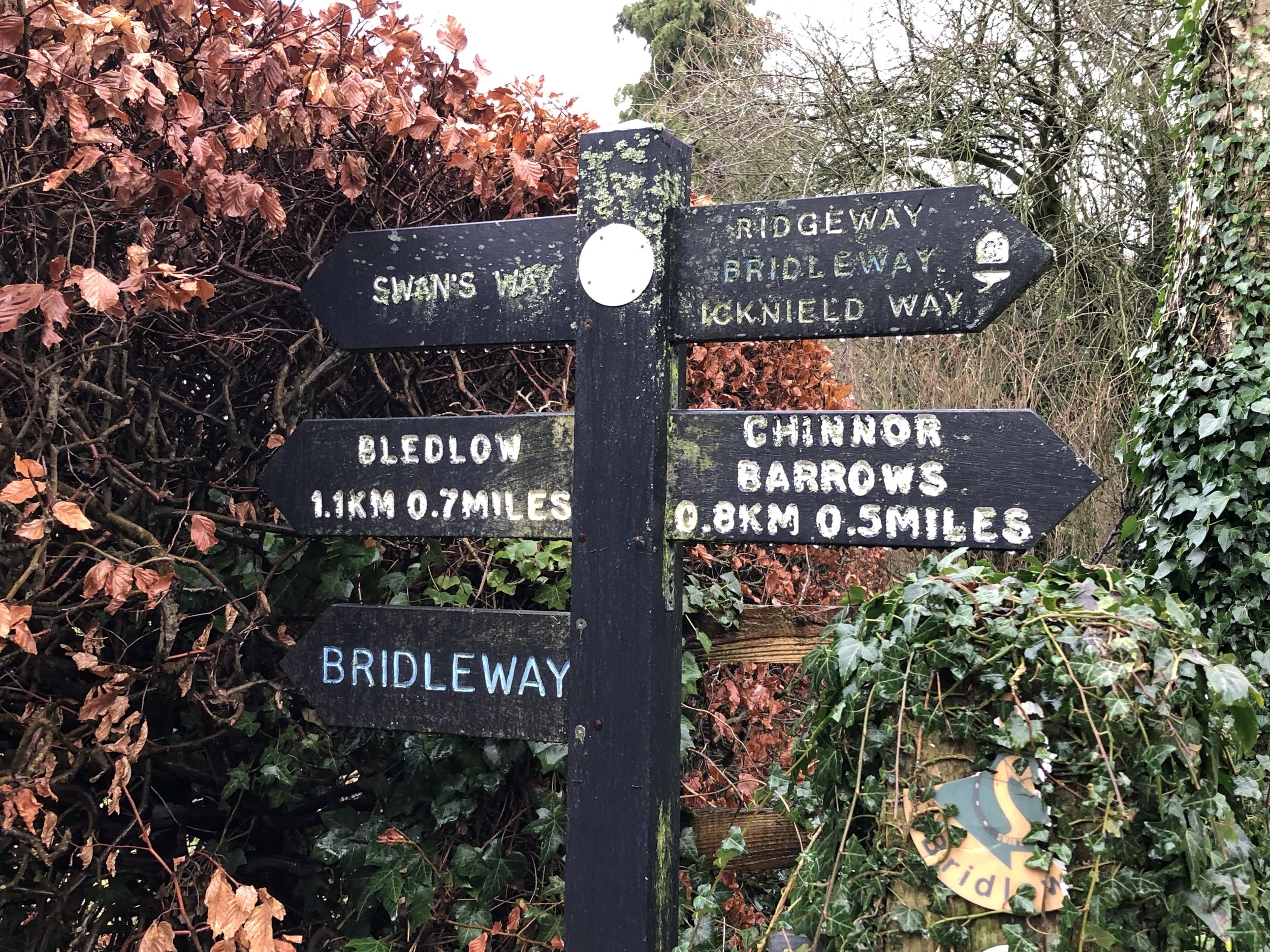
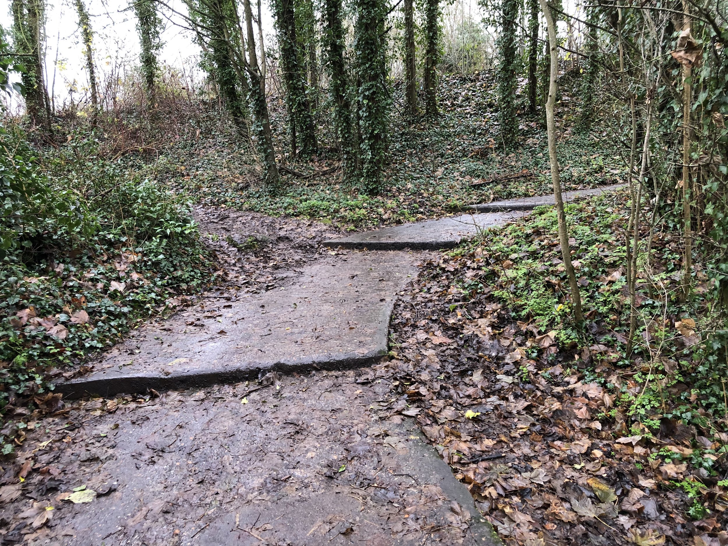
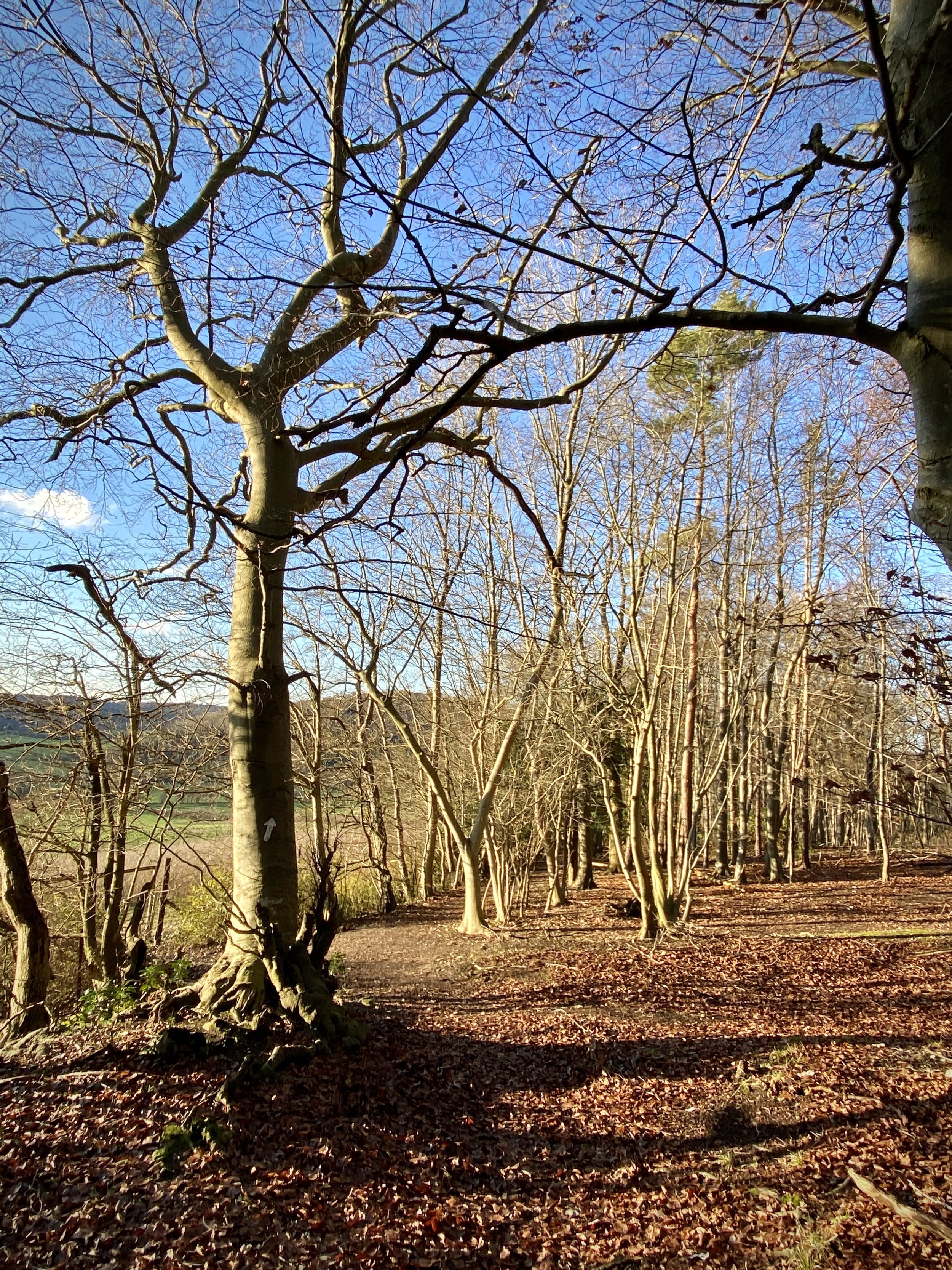
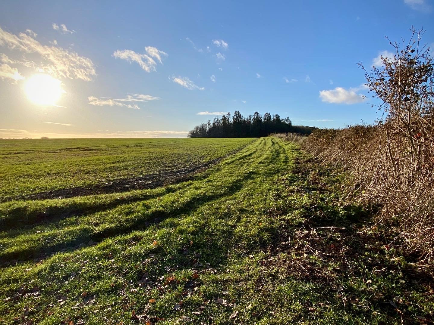
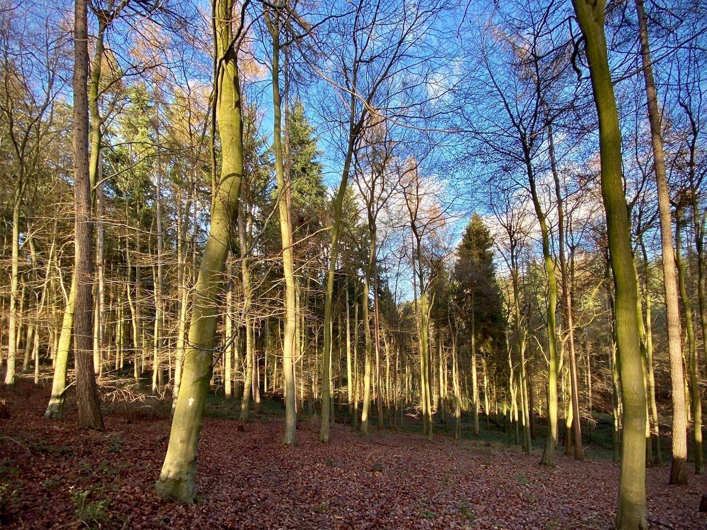
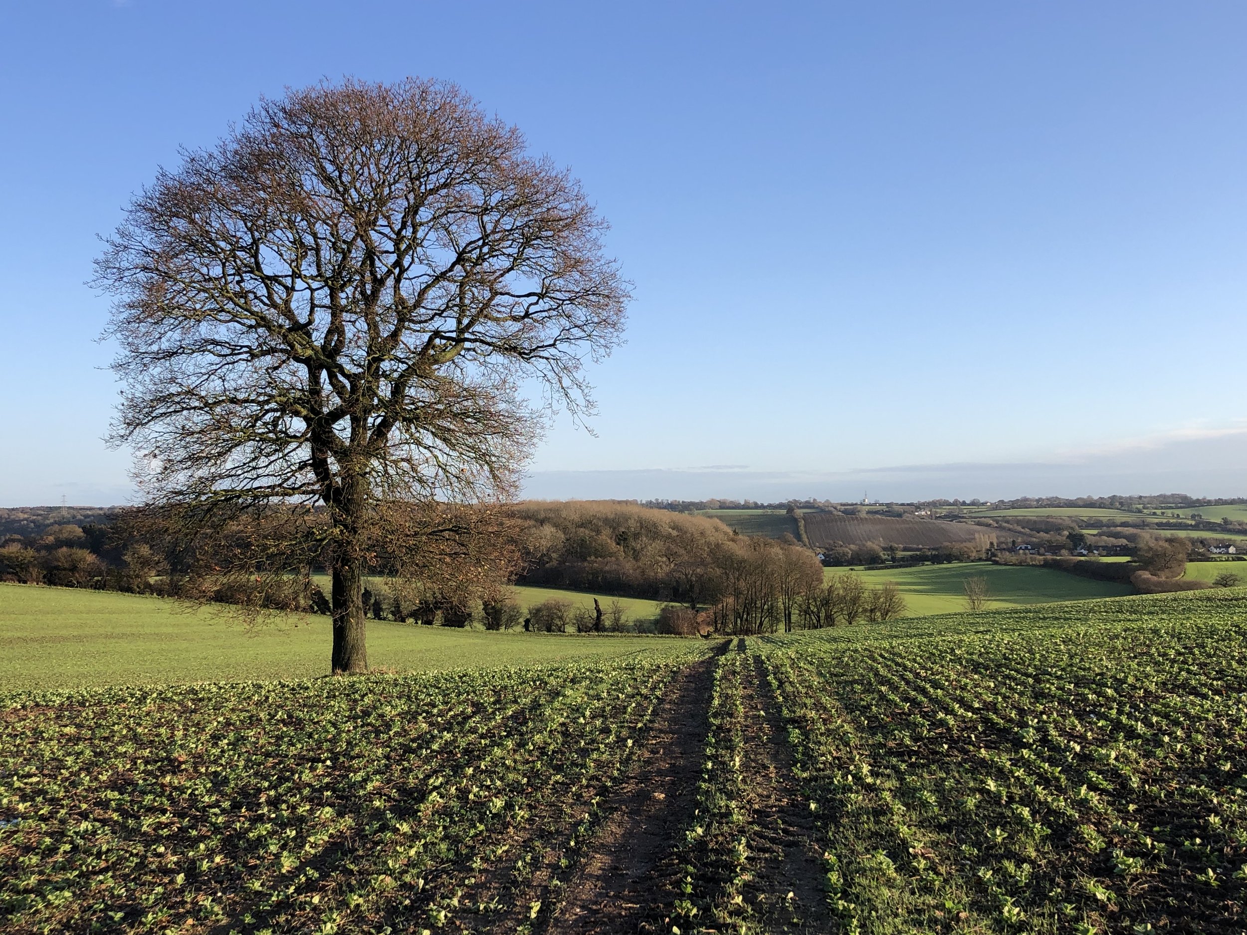
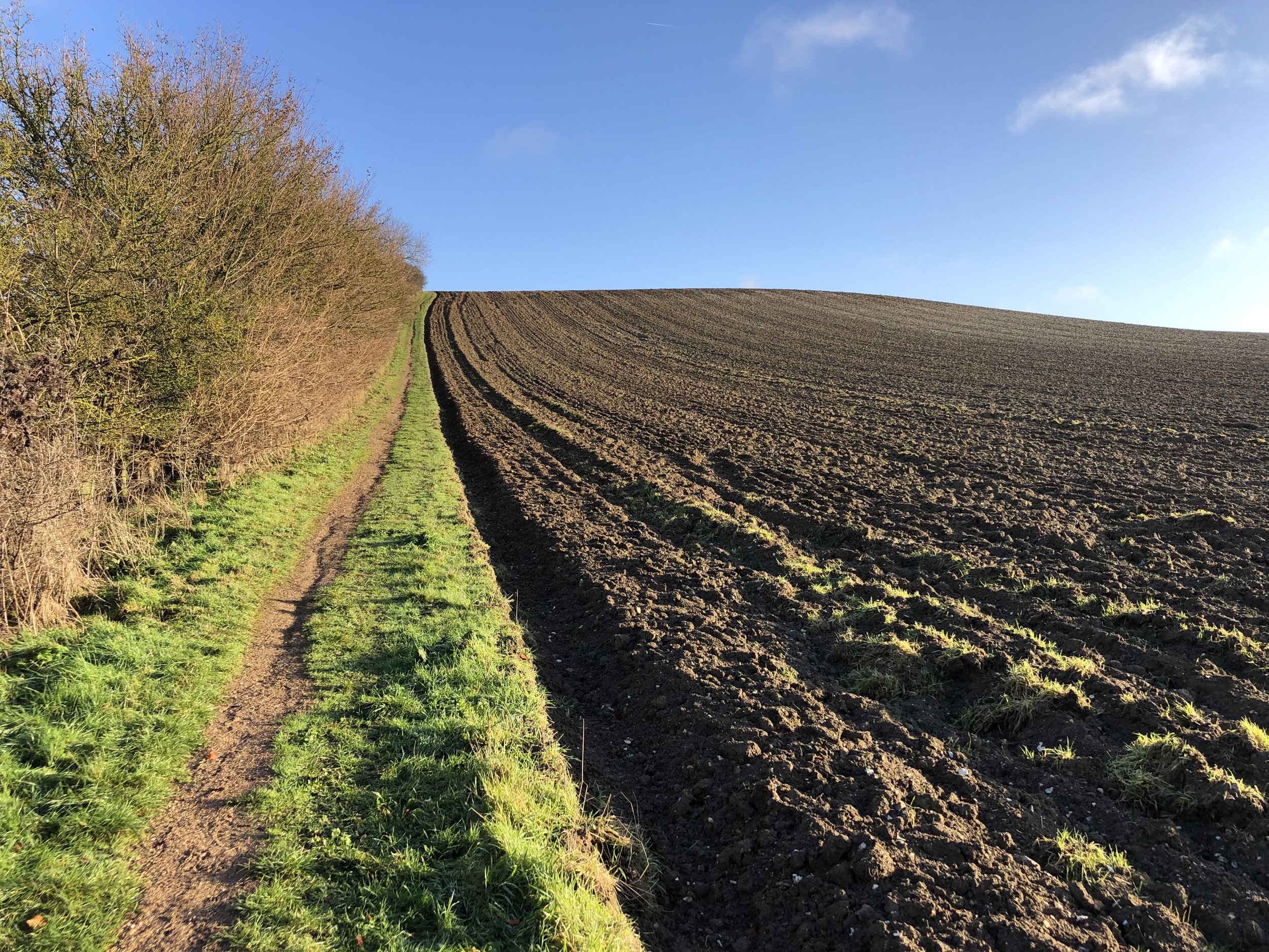
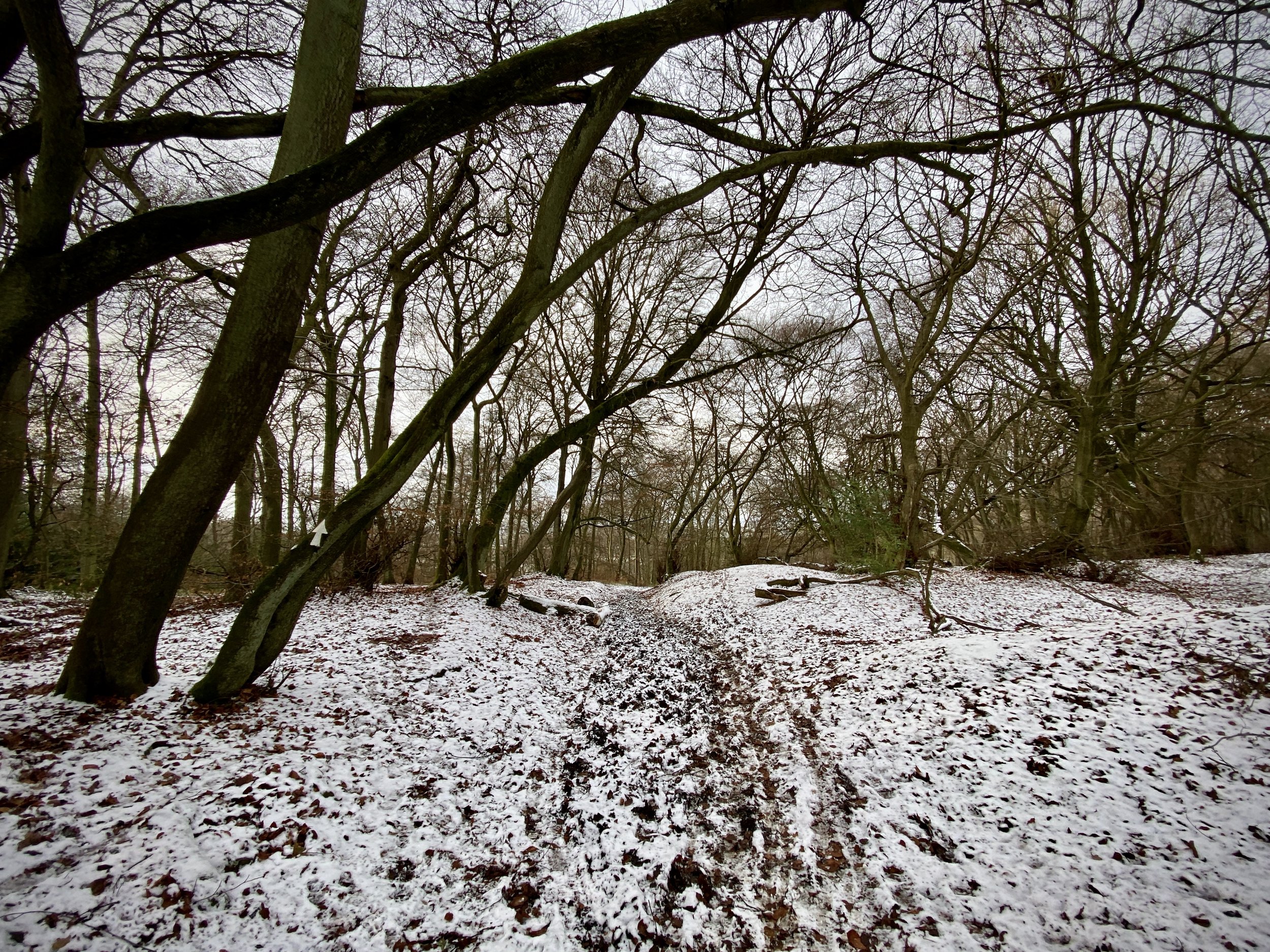
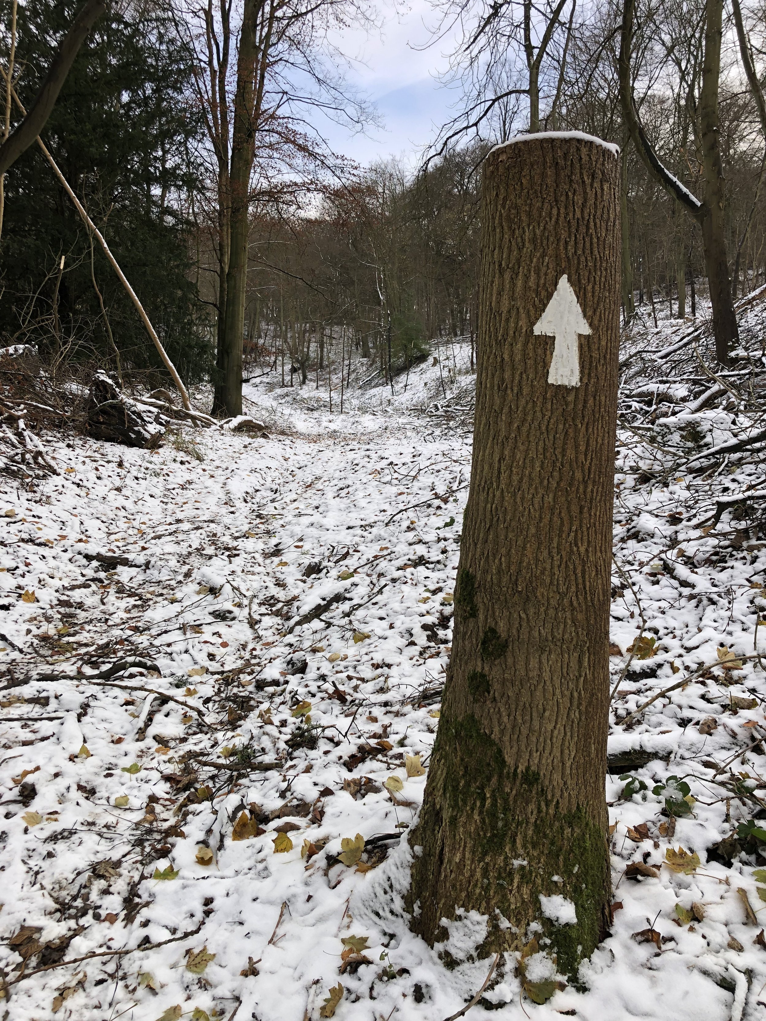
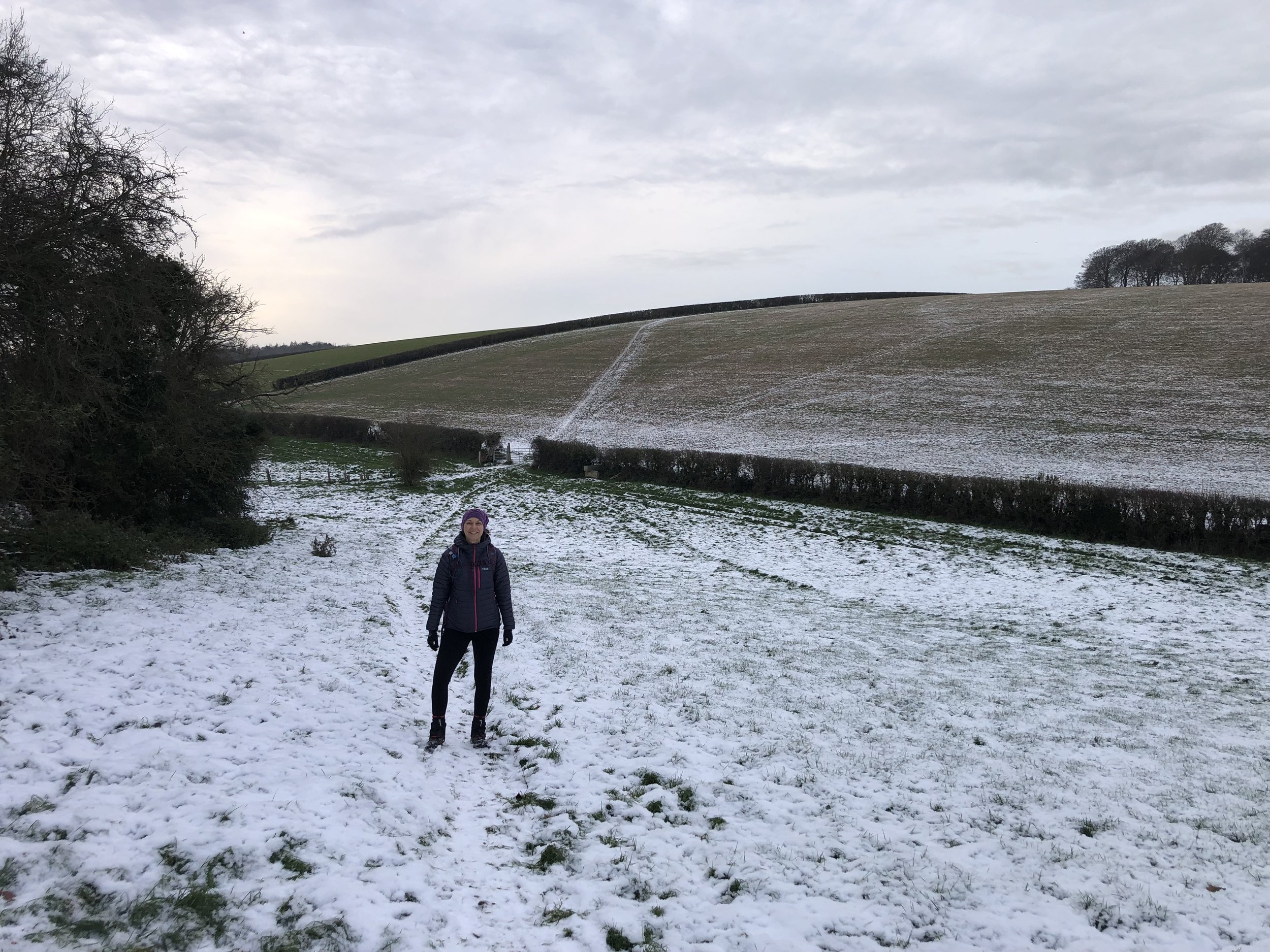
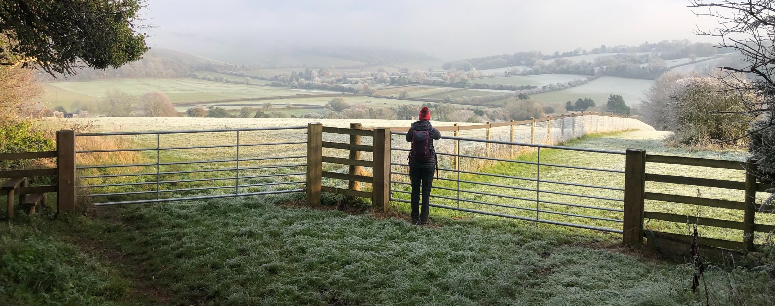
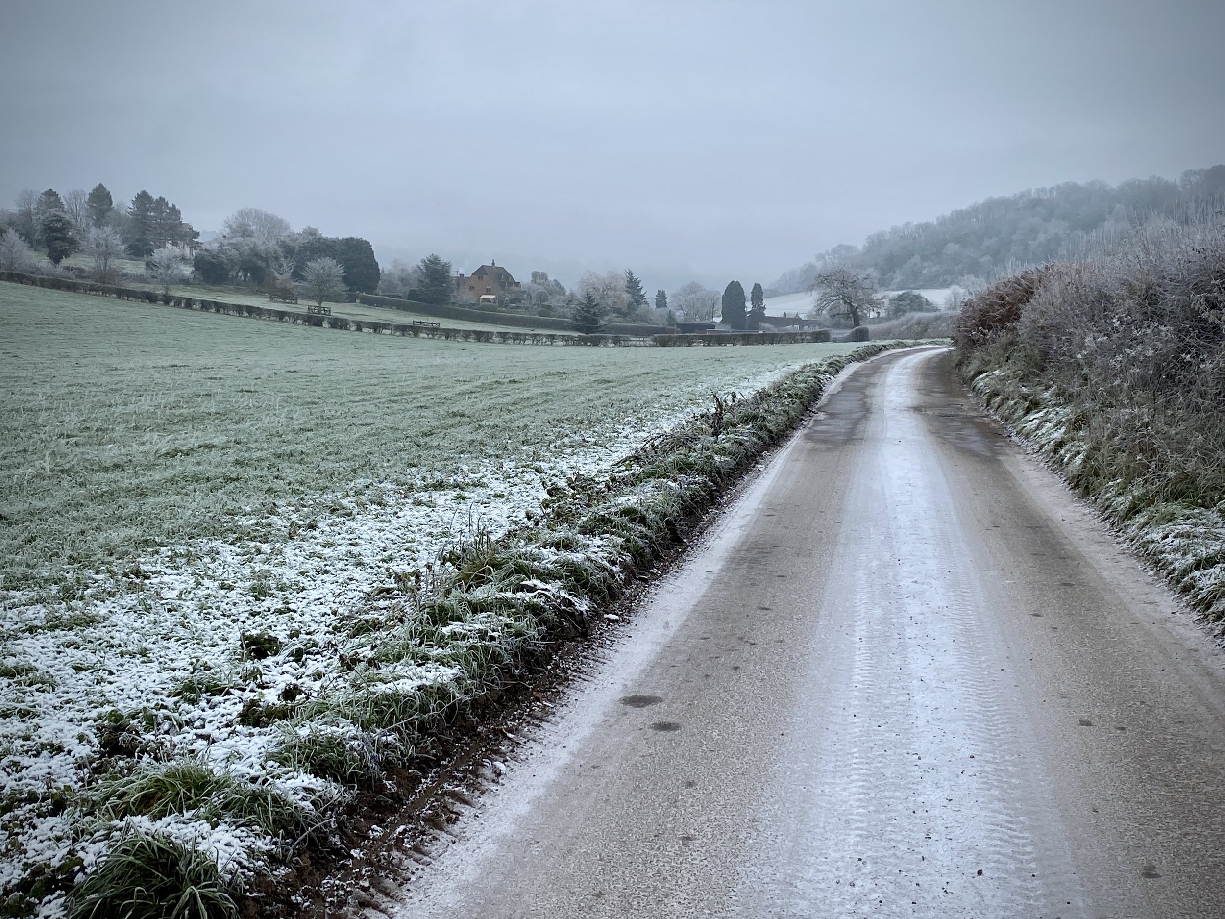
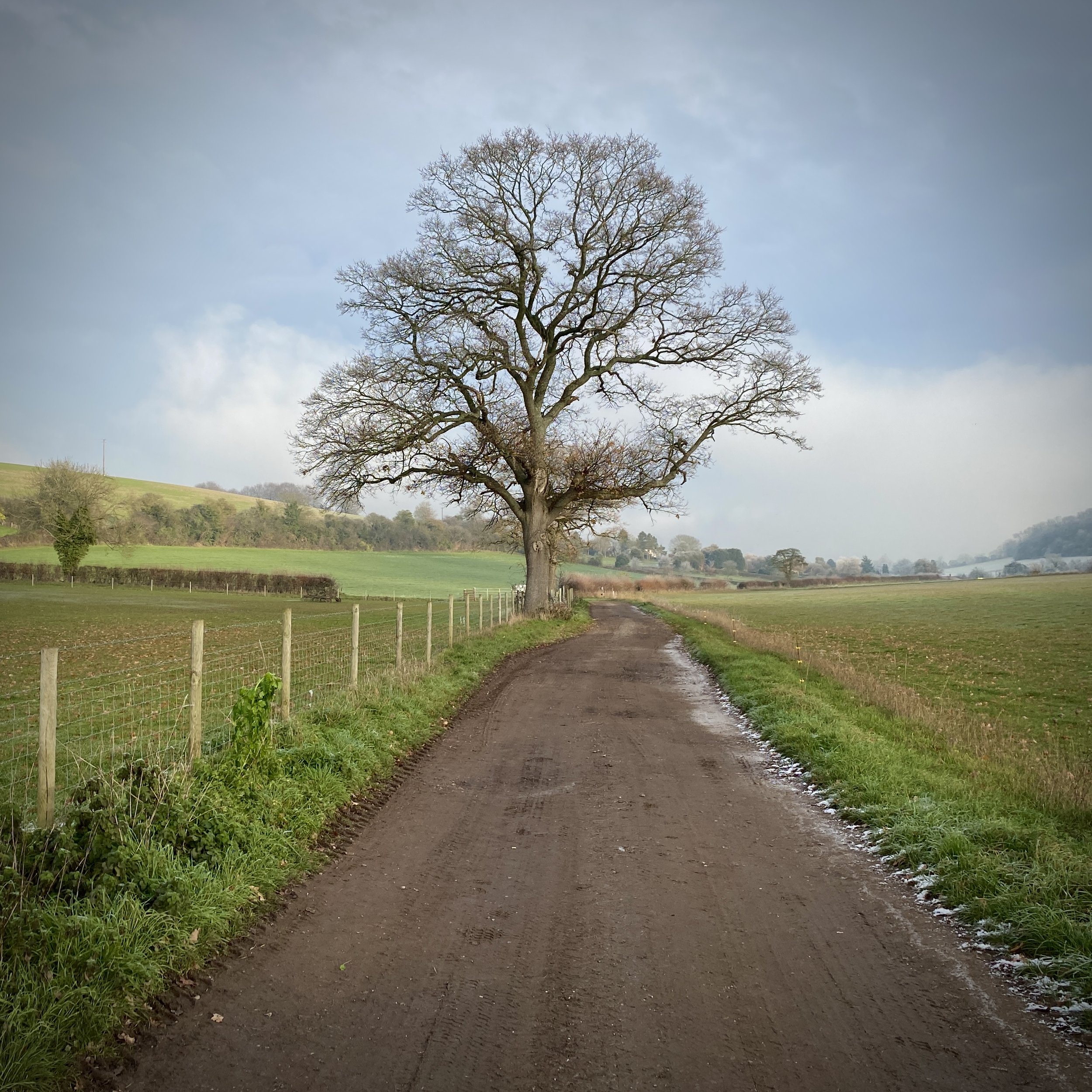
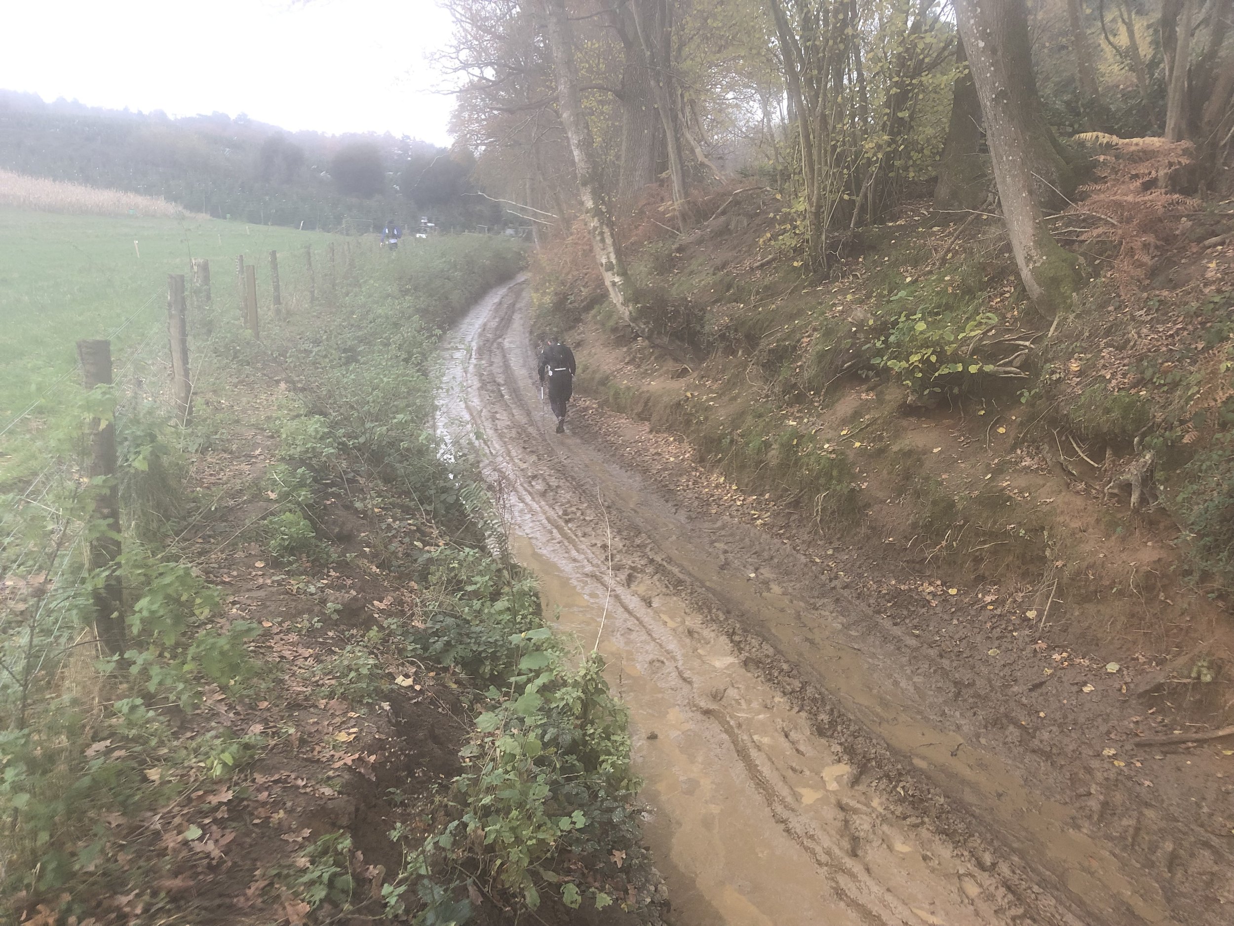
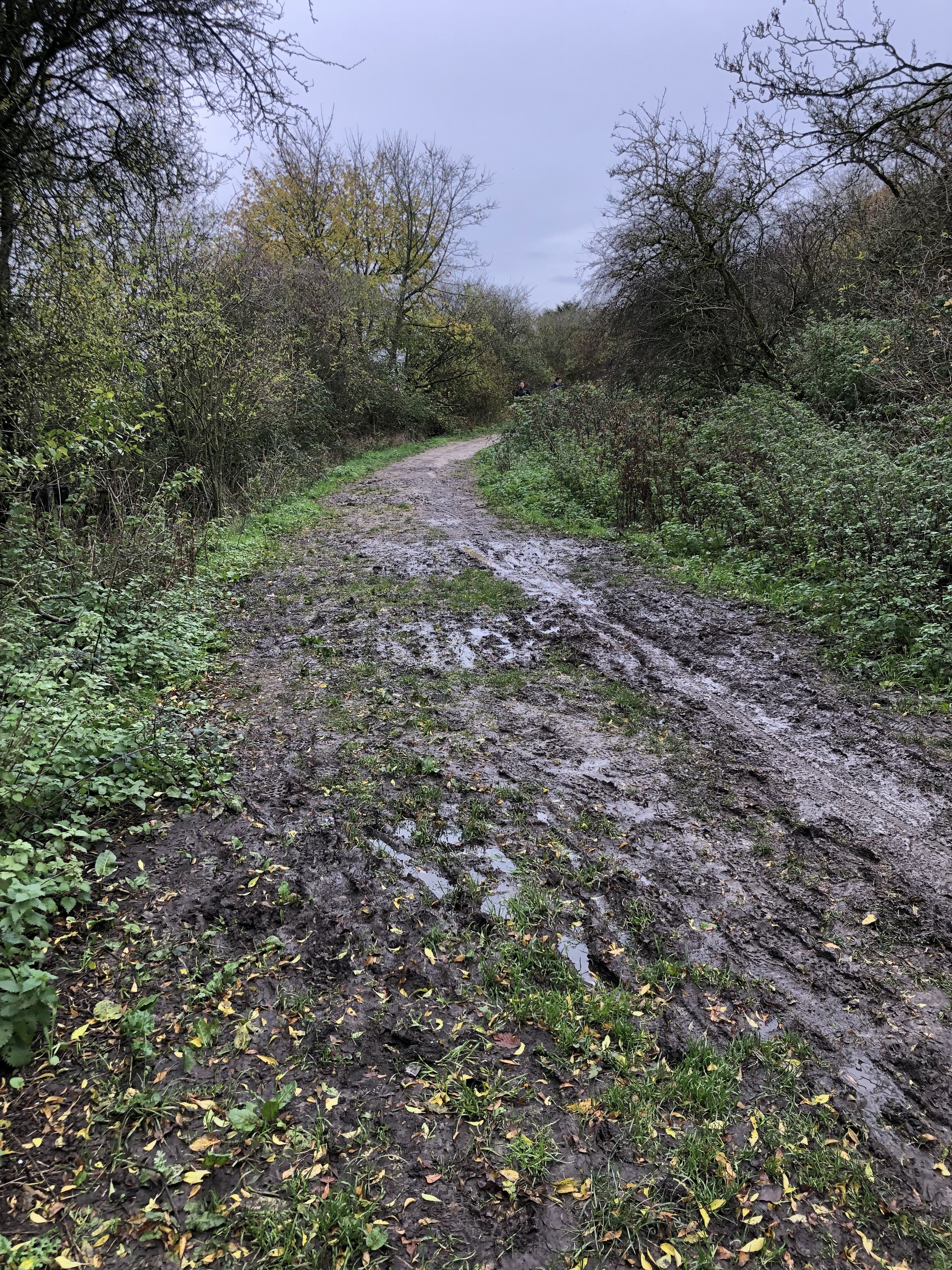
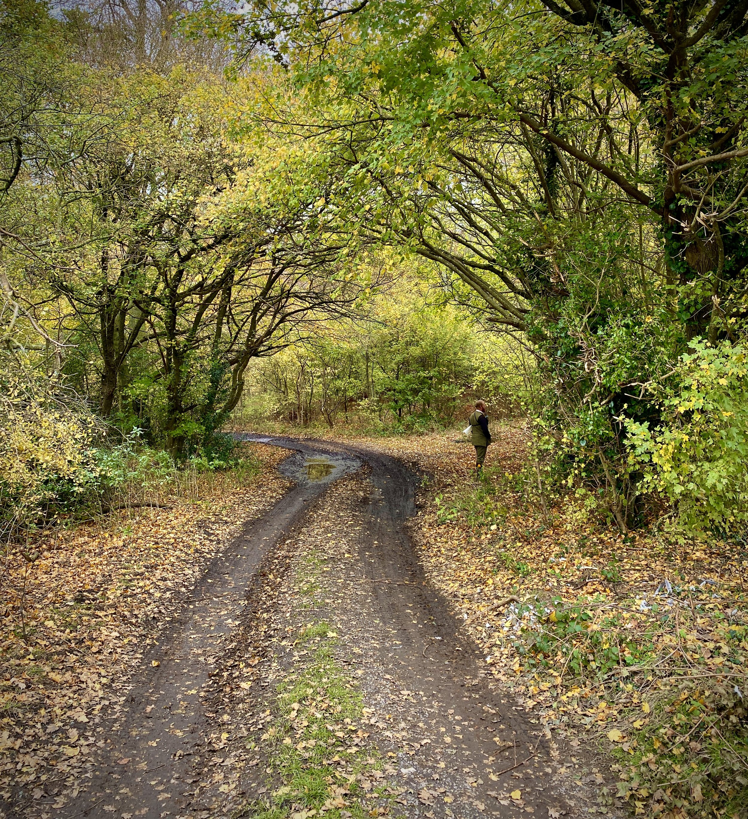
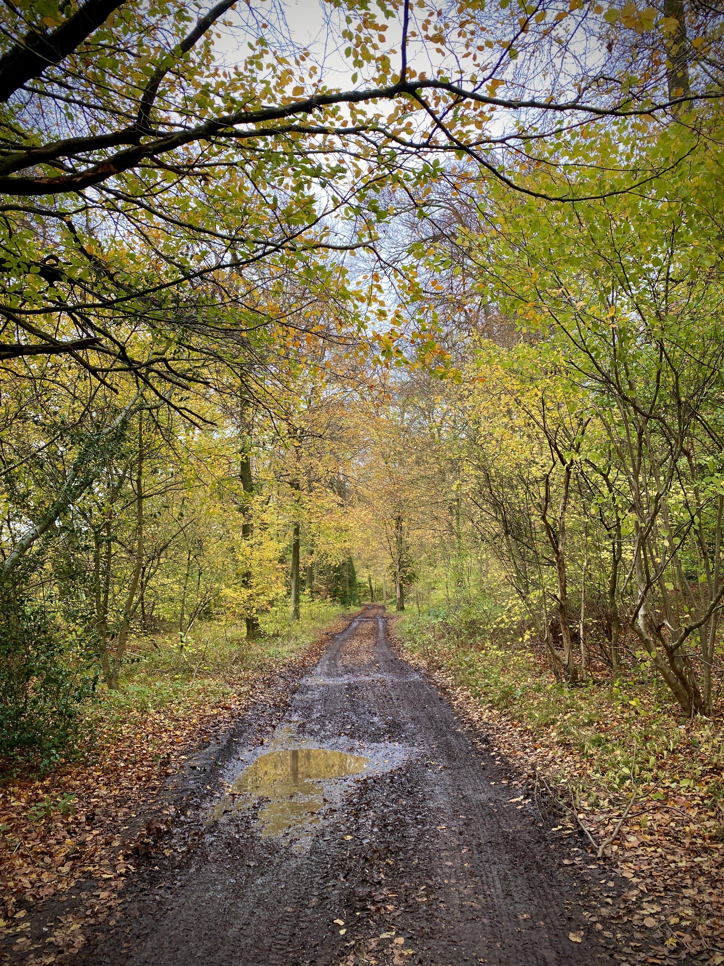
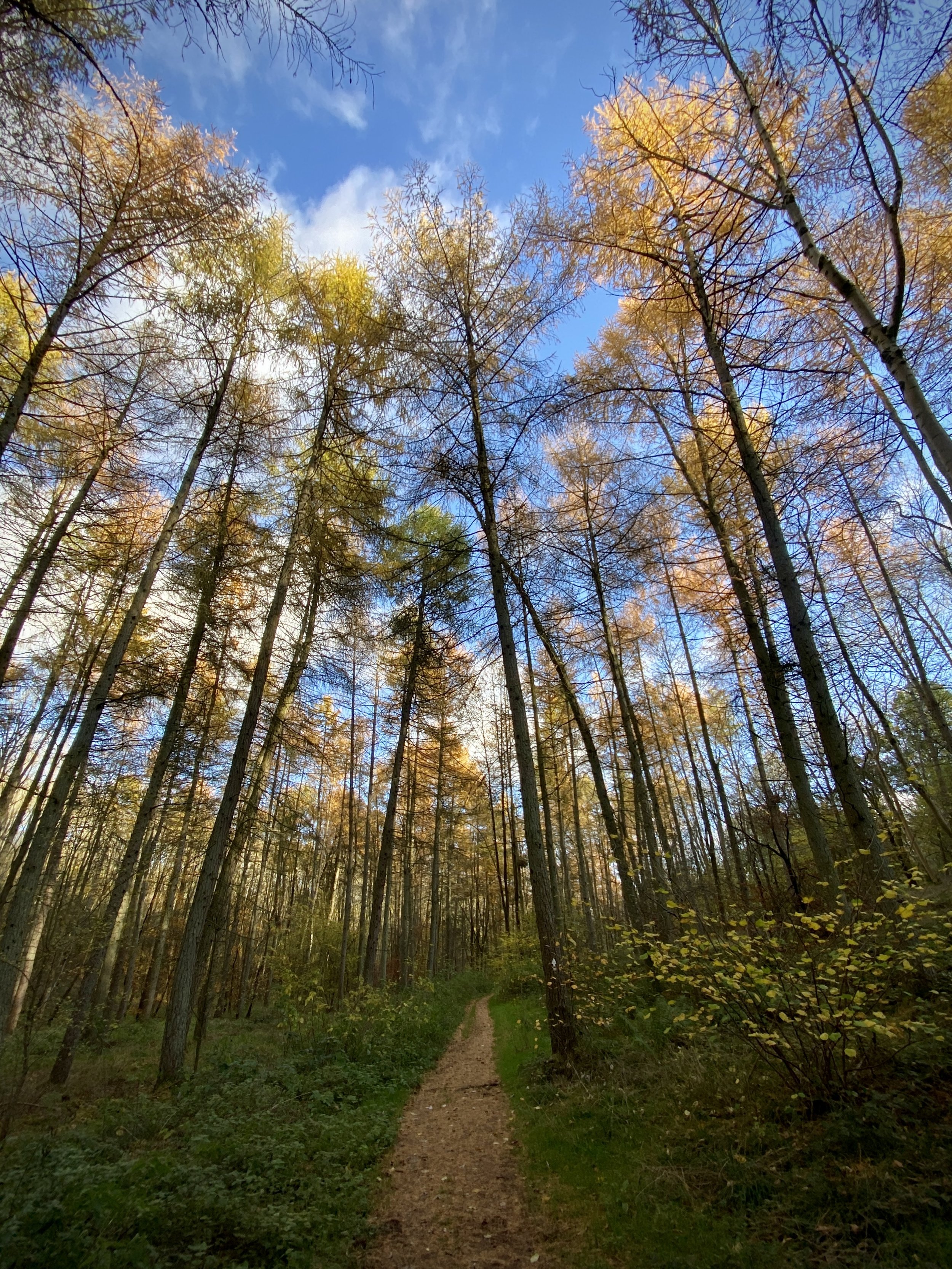
Further up Aston Lane, take a left onto The Ridgeway and follow it towards Princes Risborough. We were there after a lot of rain and this second of the trail was a mud-bath. Even on a dry day I recommend taking on the route with a mountain bike and definitely not a road bike. There were several spots along this section where we had to get off and push.

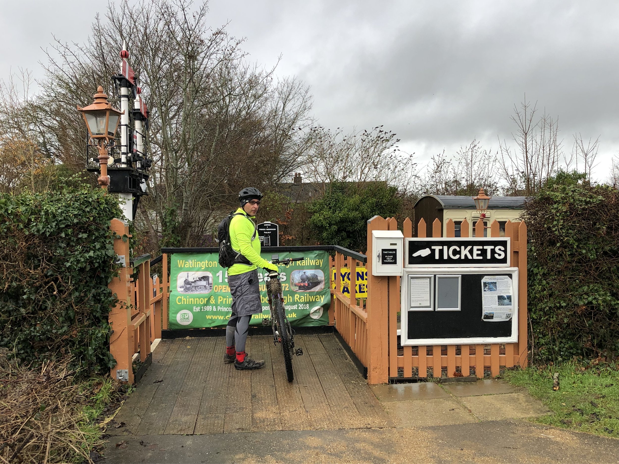
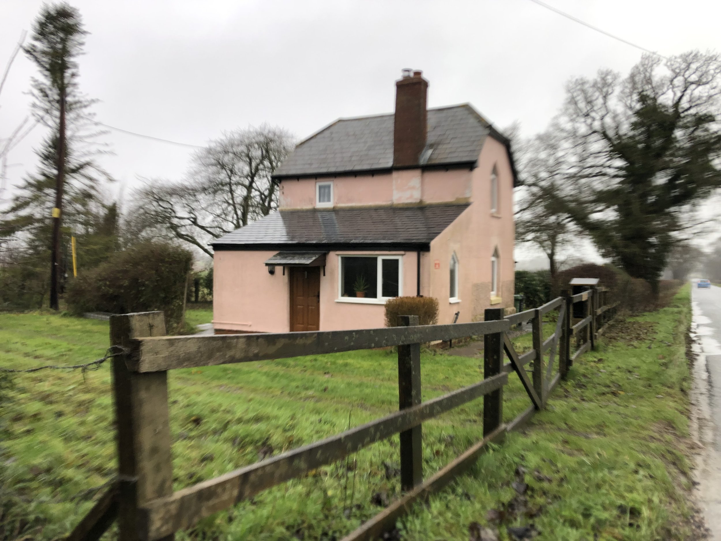
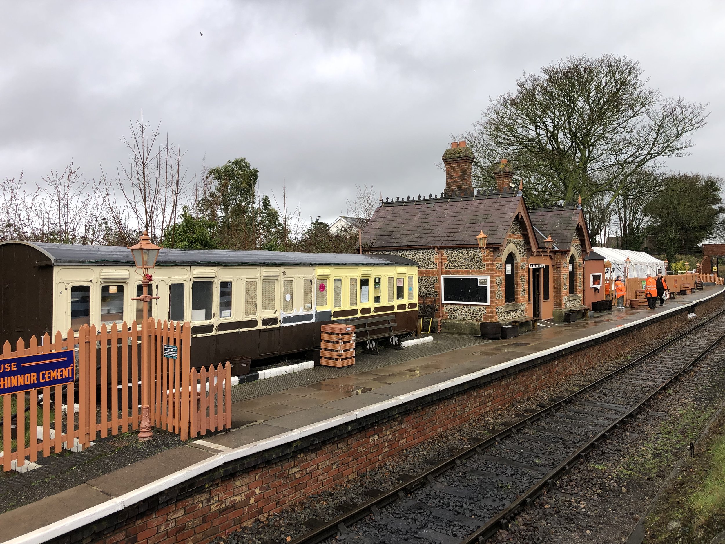
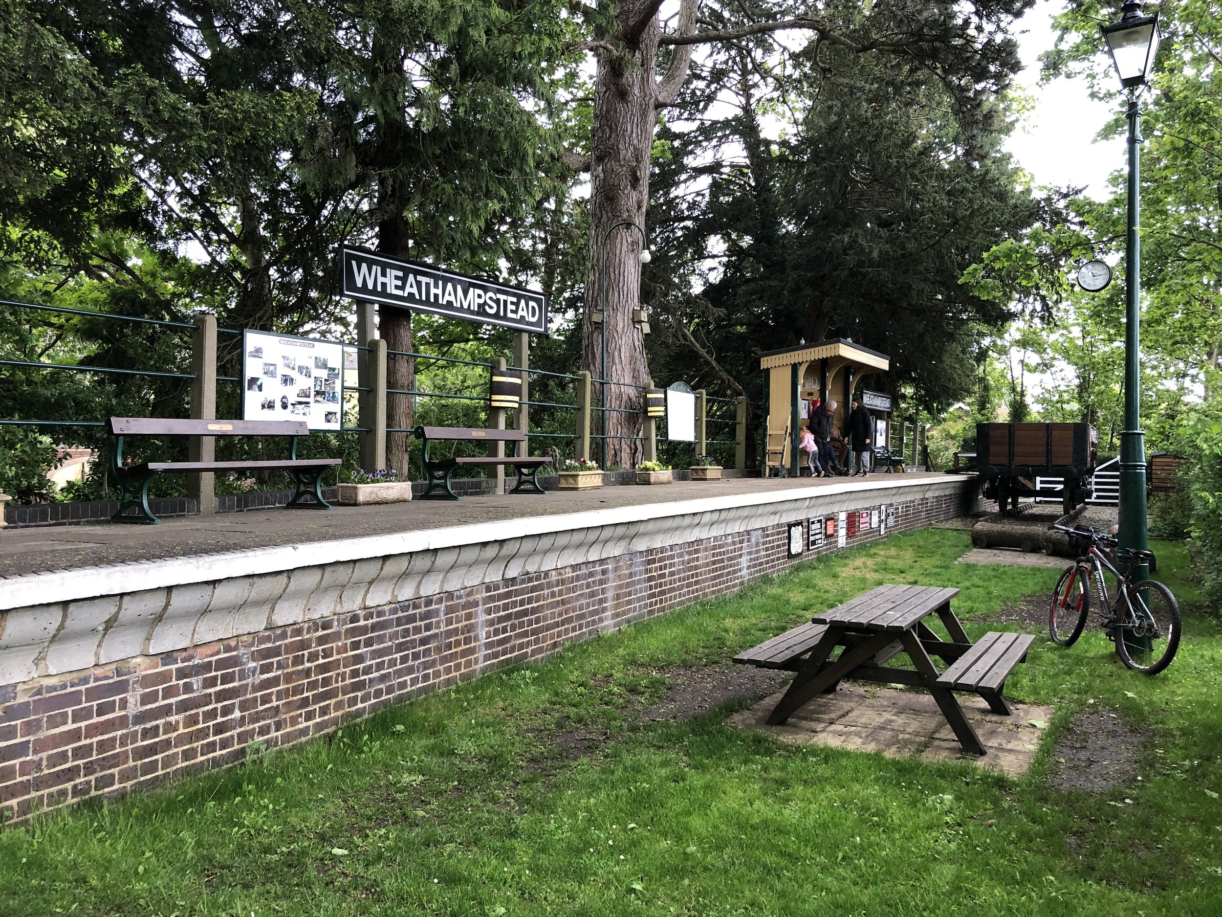
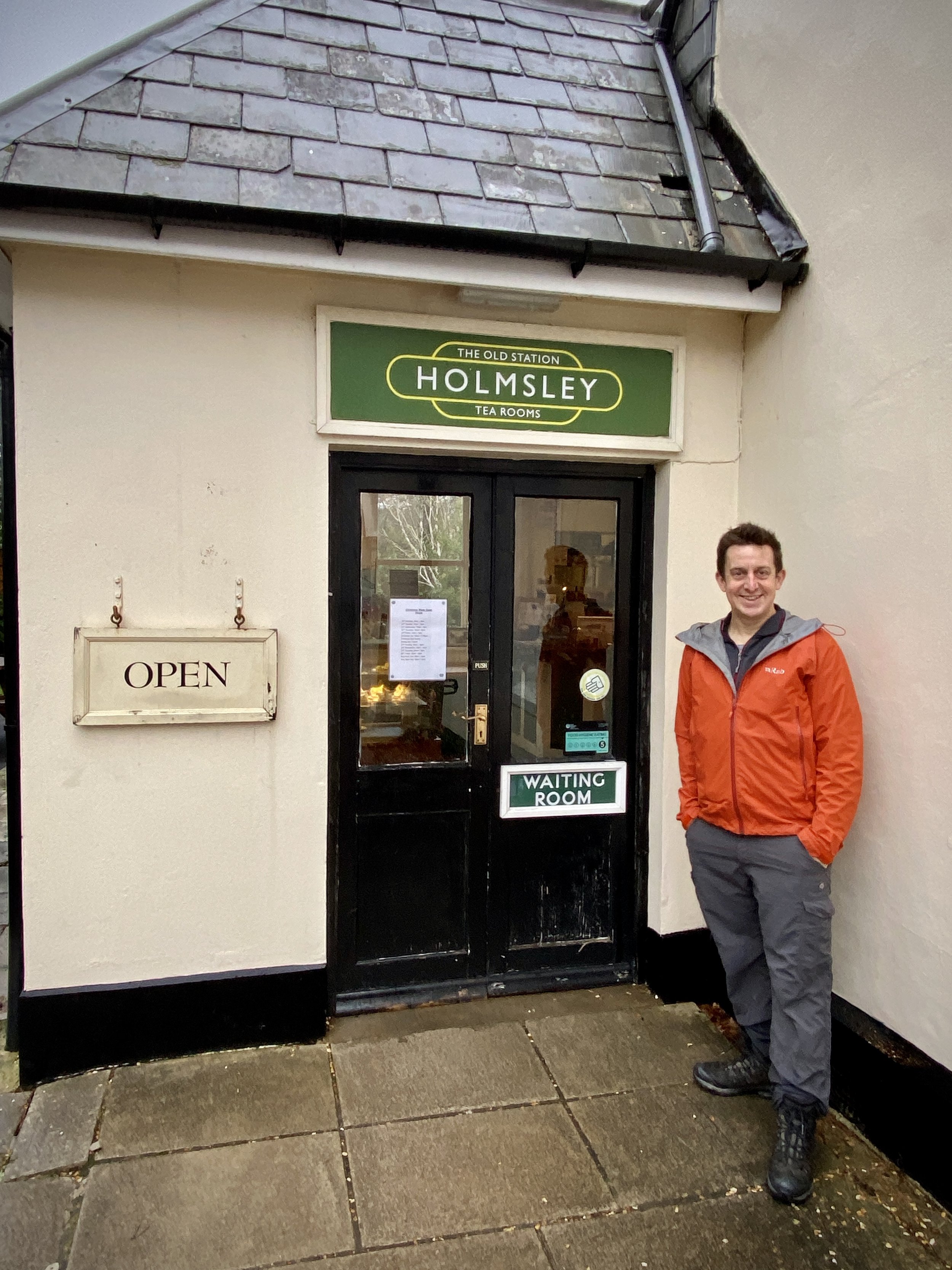
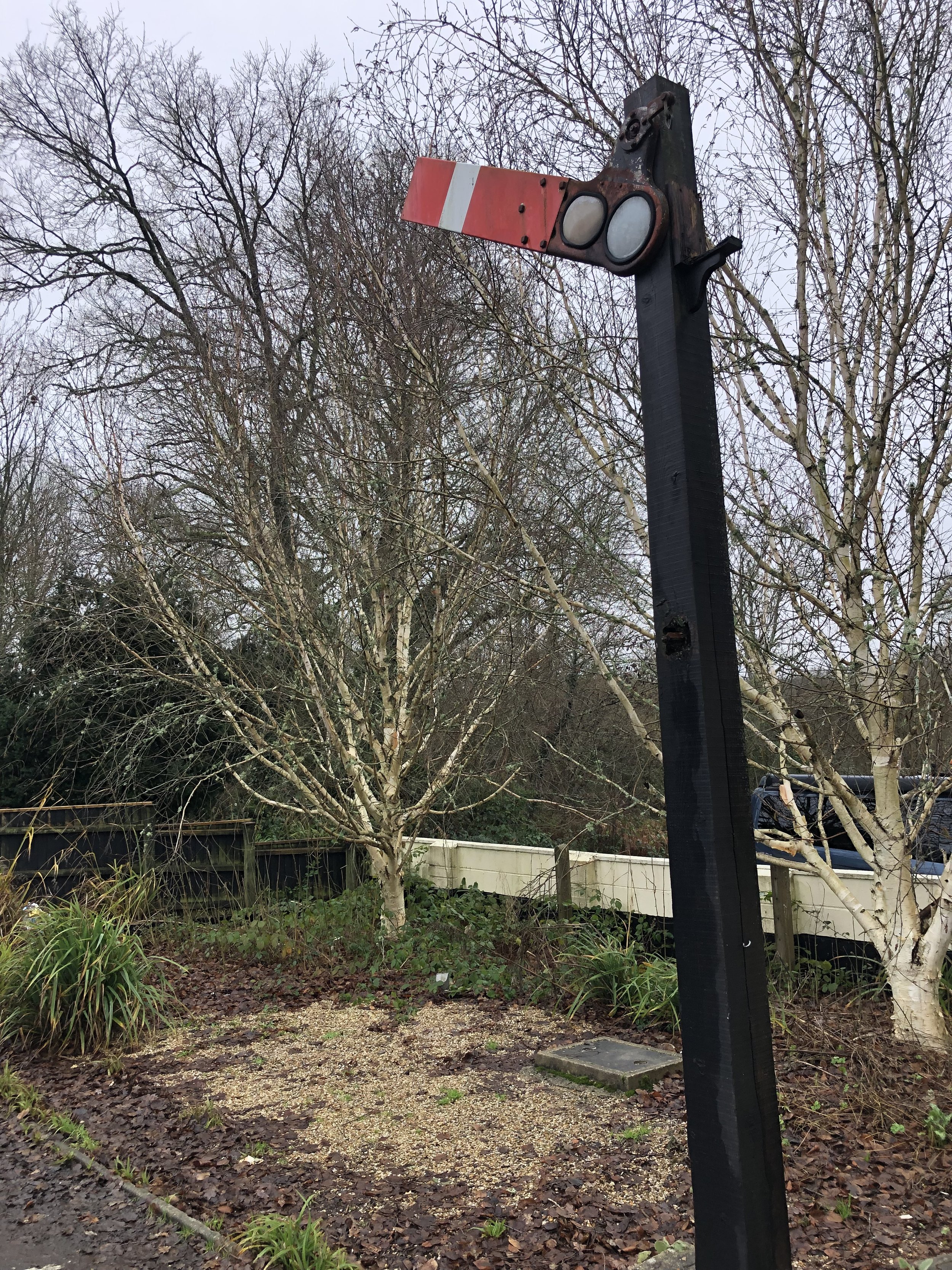
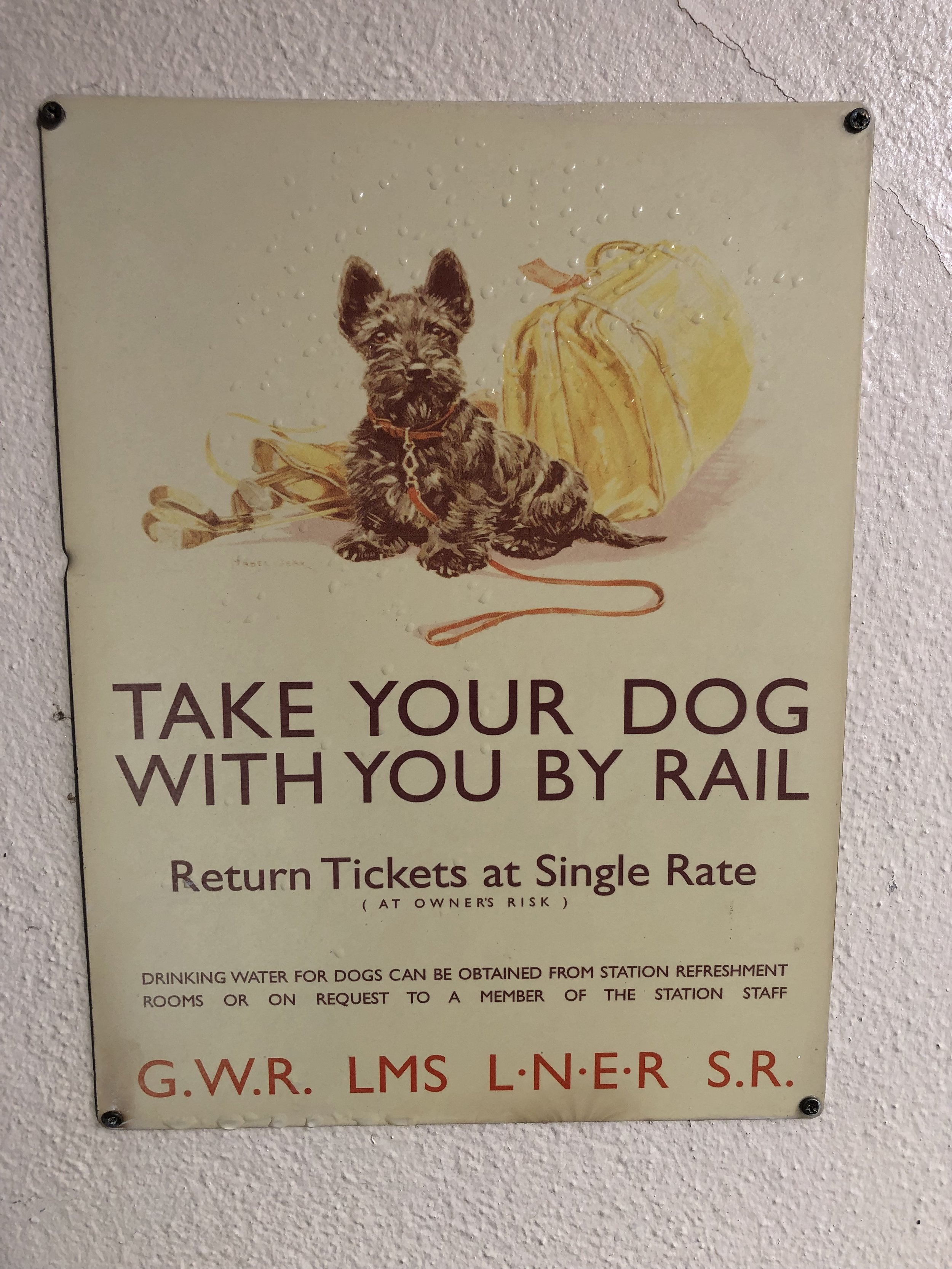
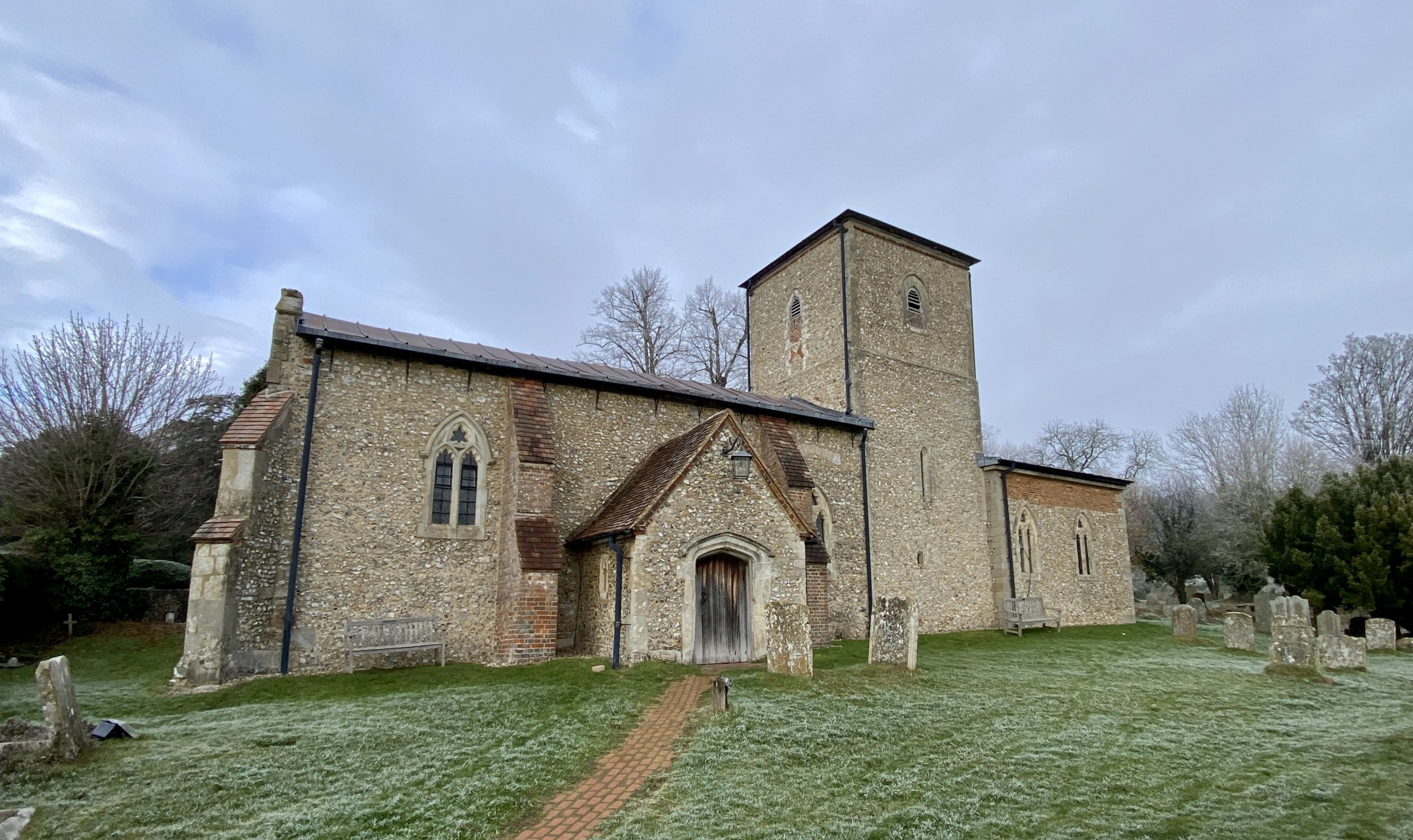
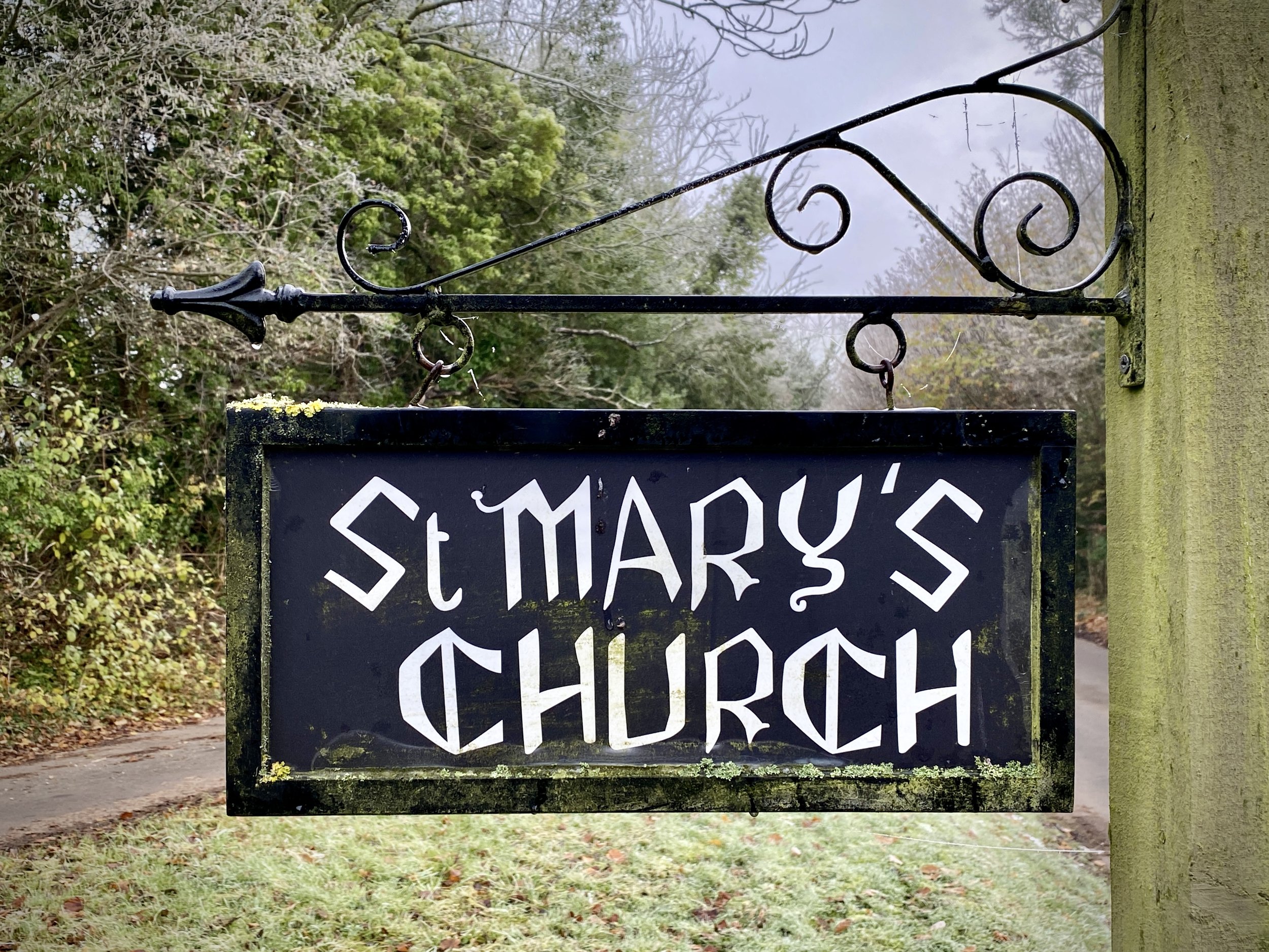
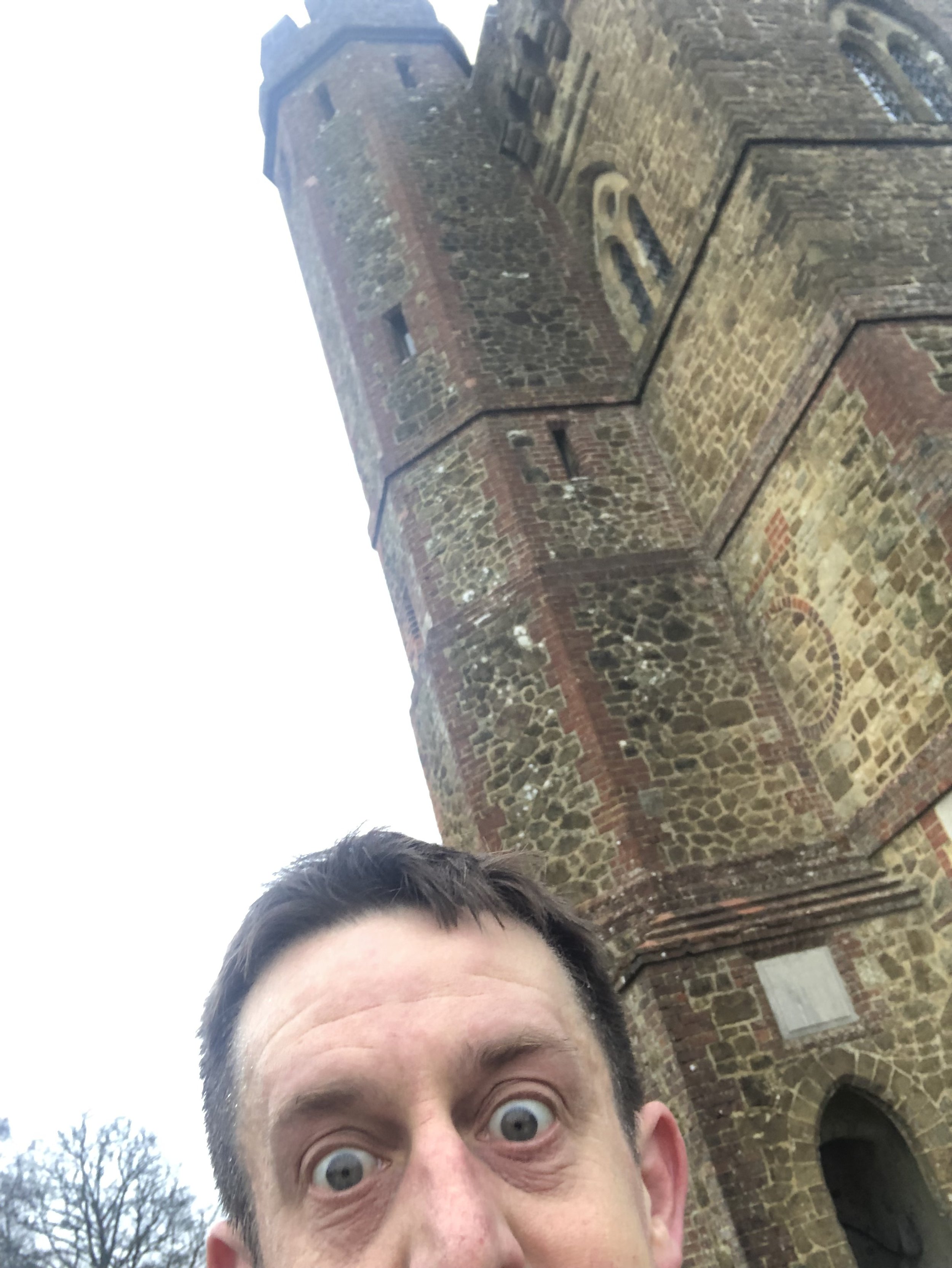
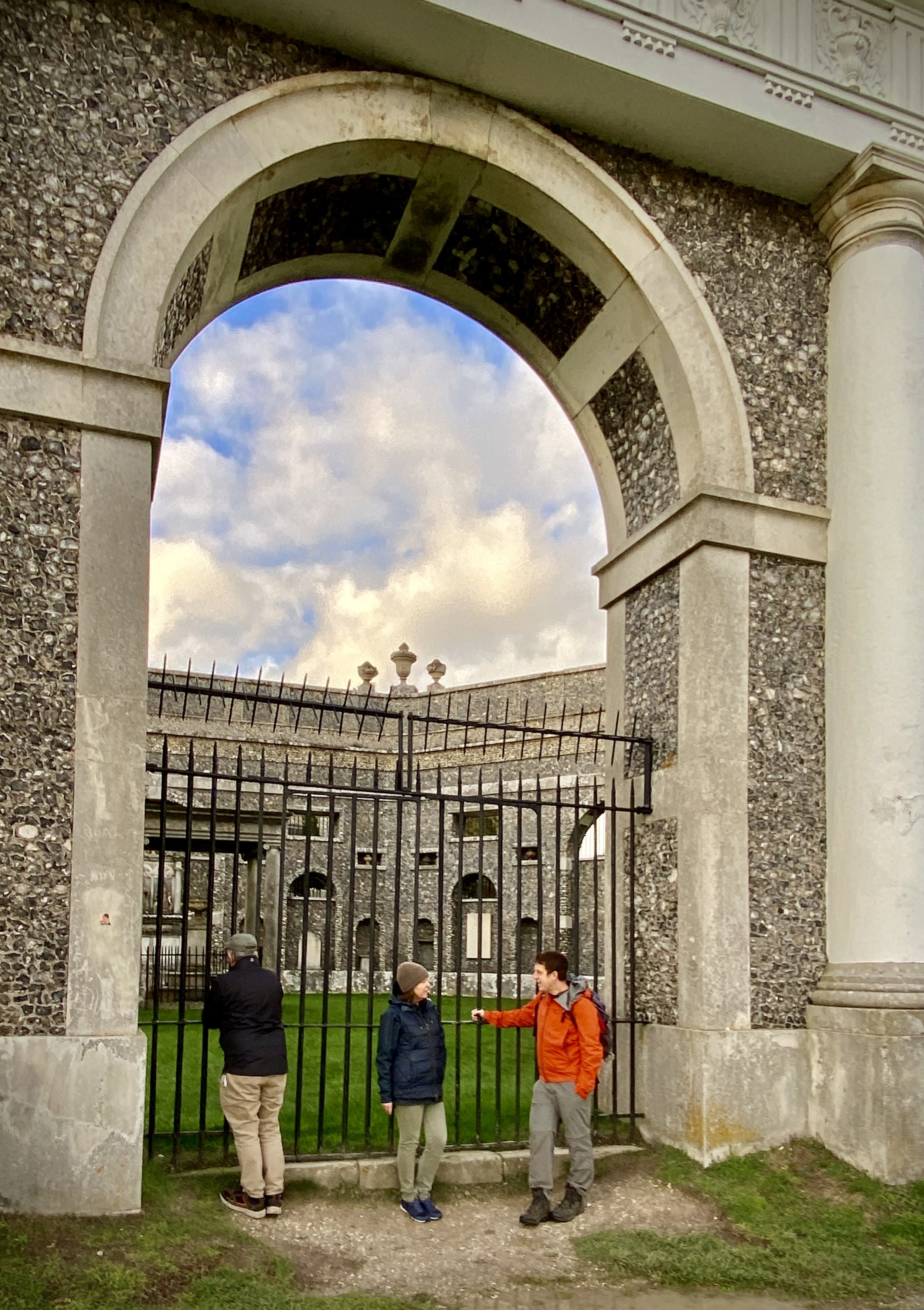
After ~1.5km along The Ridgeway the trail crosses Kingston Hill (Road) and you’ll see the old Kingston Crossing Halt, now a private cottage in a good condition. Next continue along the Ridgeway to Chinnor Hill and take a short diversion north along Chinnor Hill Road to visit the well-preserved Chinnor Station, now the end-point of the Princes Risborough to Chinnor Heritage Railway.

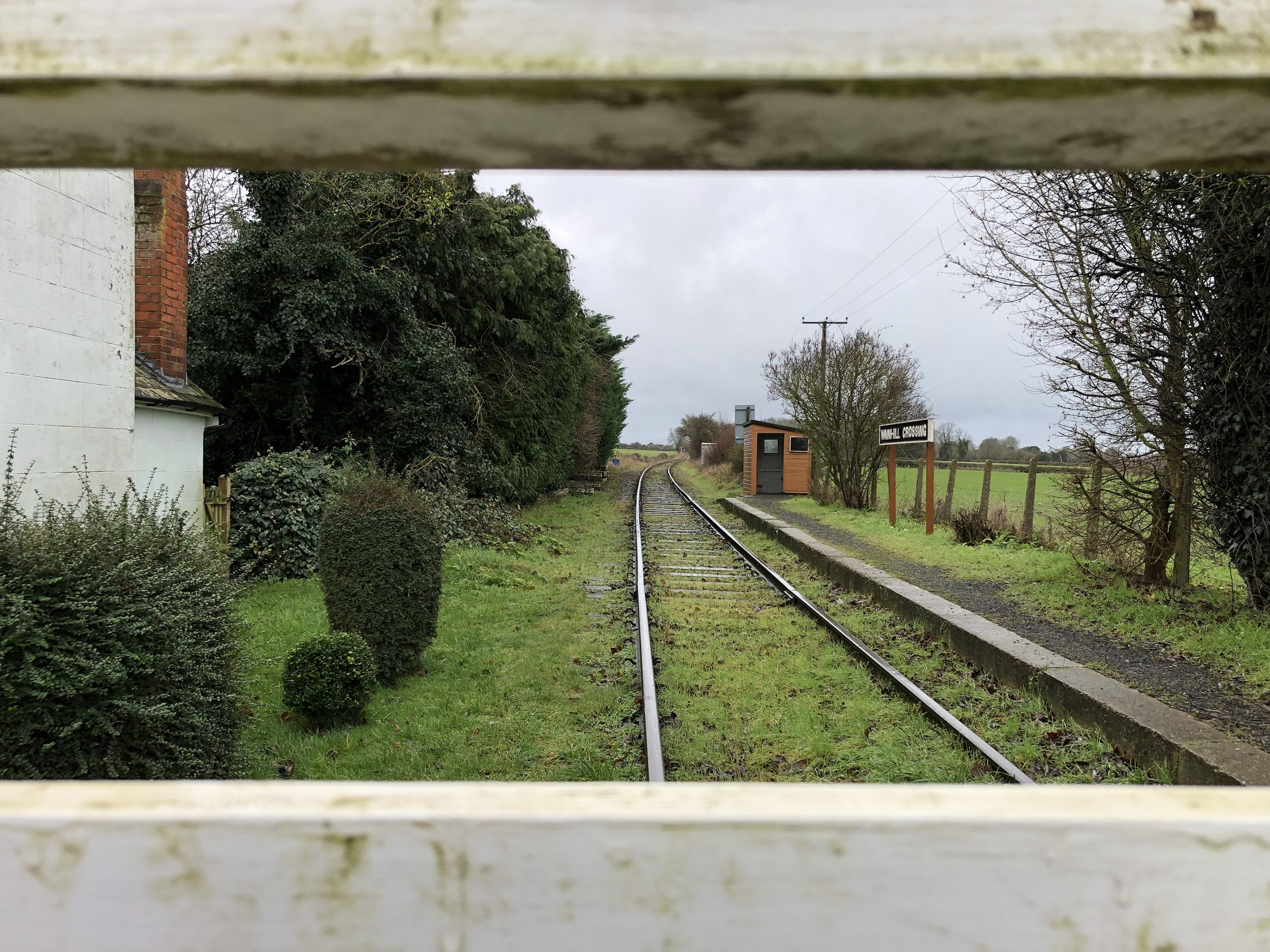
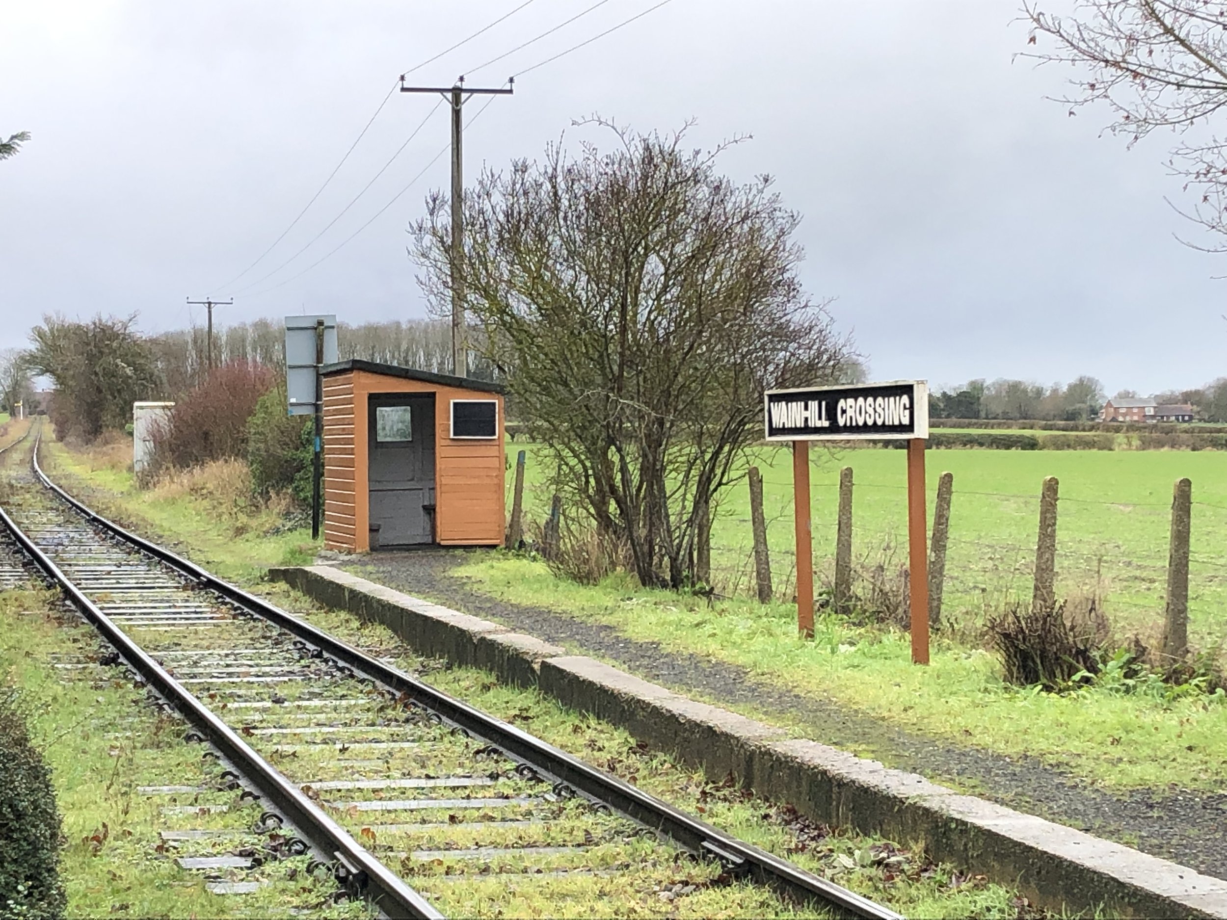
After Chinnor return to the Ridgeway and continue towards Princes Risborough. Just over 1 km after Chinnor Station take a left hand bridleway to leave The Ridgeway to Hempton Wainhill. Wainhill Crossing Halt, rebuilt by the Princes Risborough to Chinnor Heritage Railway is on the left hand side of the lane. From here retrace your route back up to the Ridgeway.

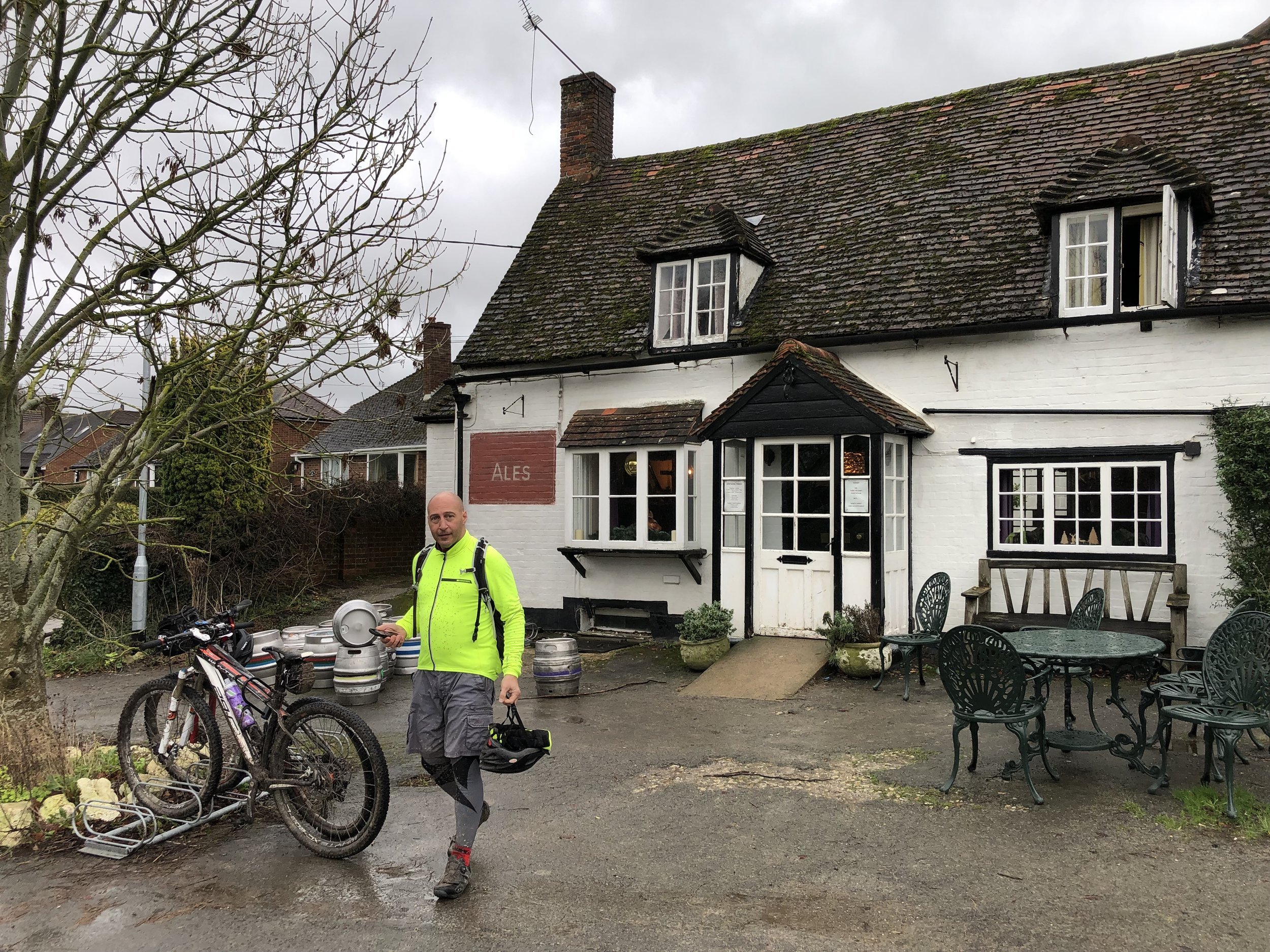
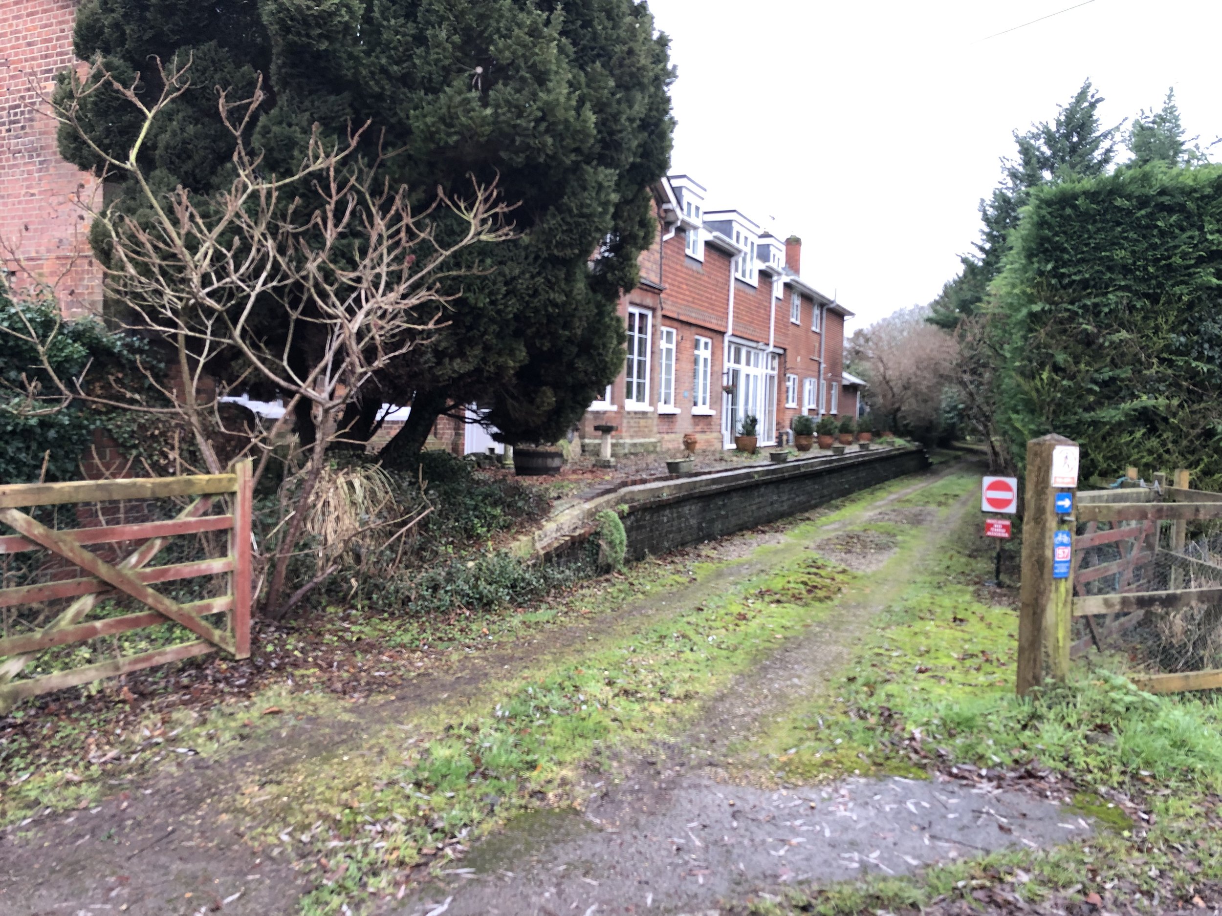
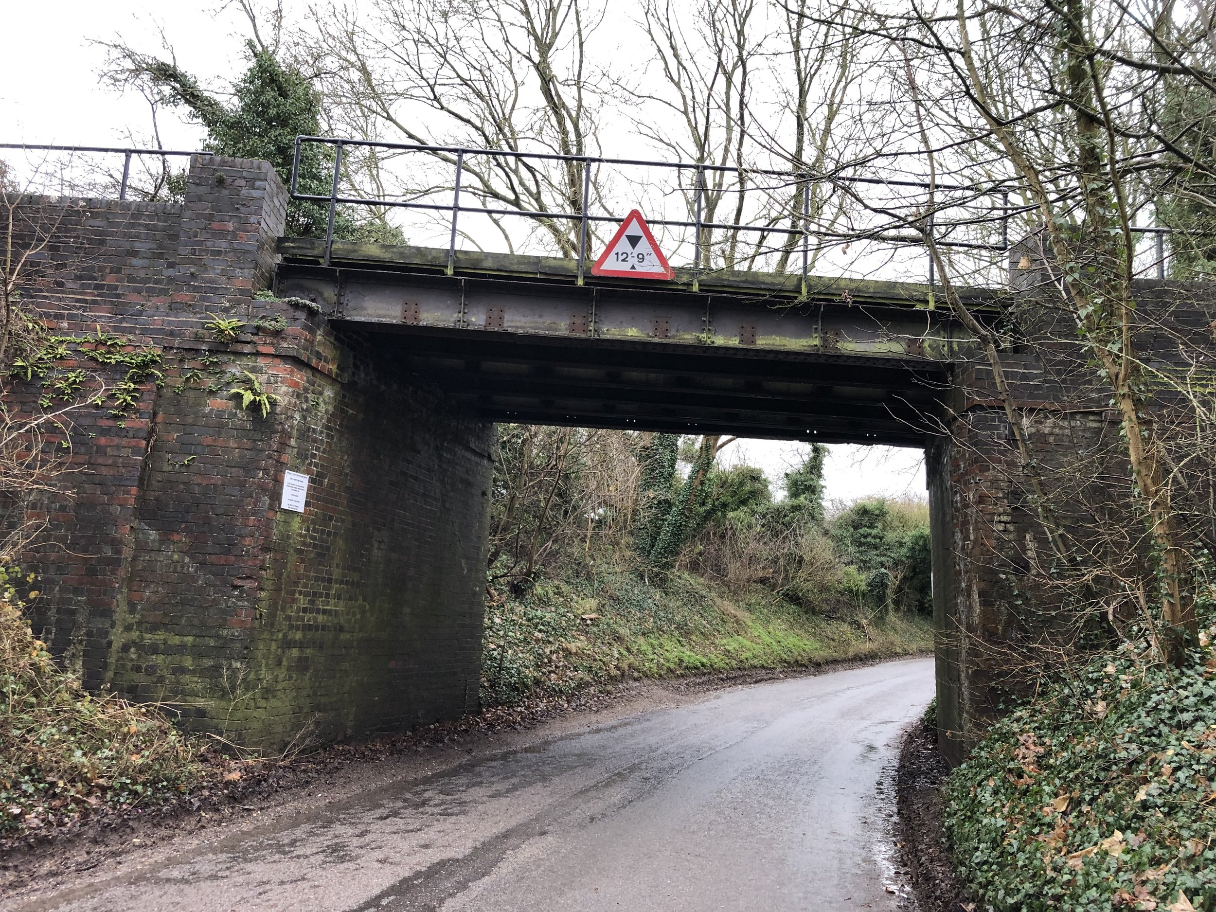
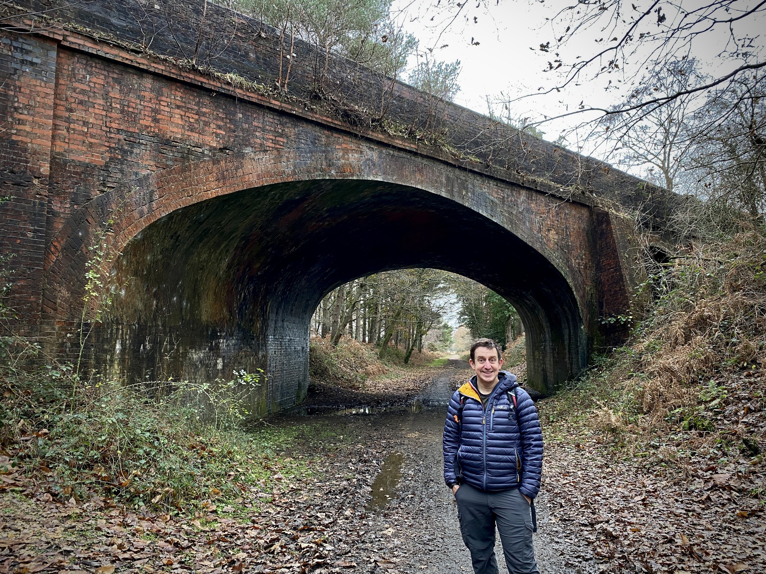
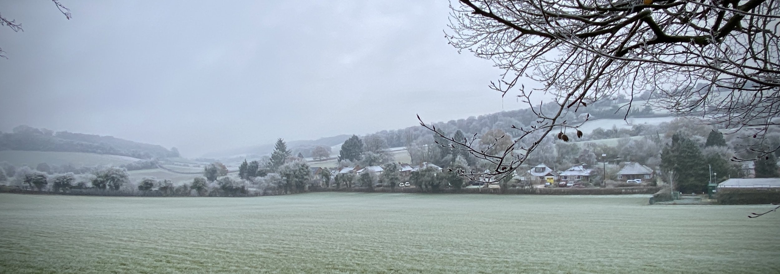
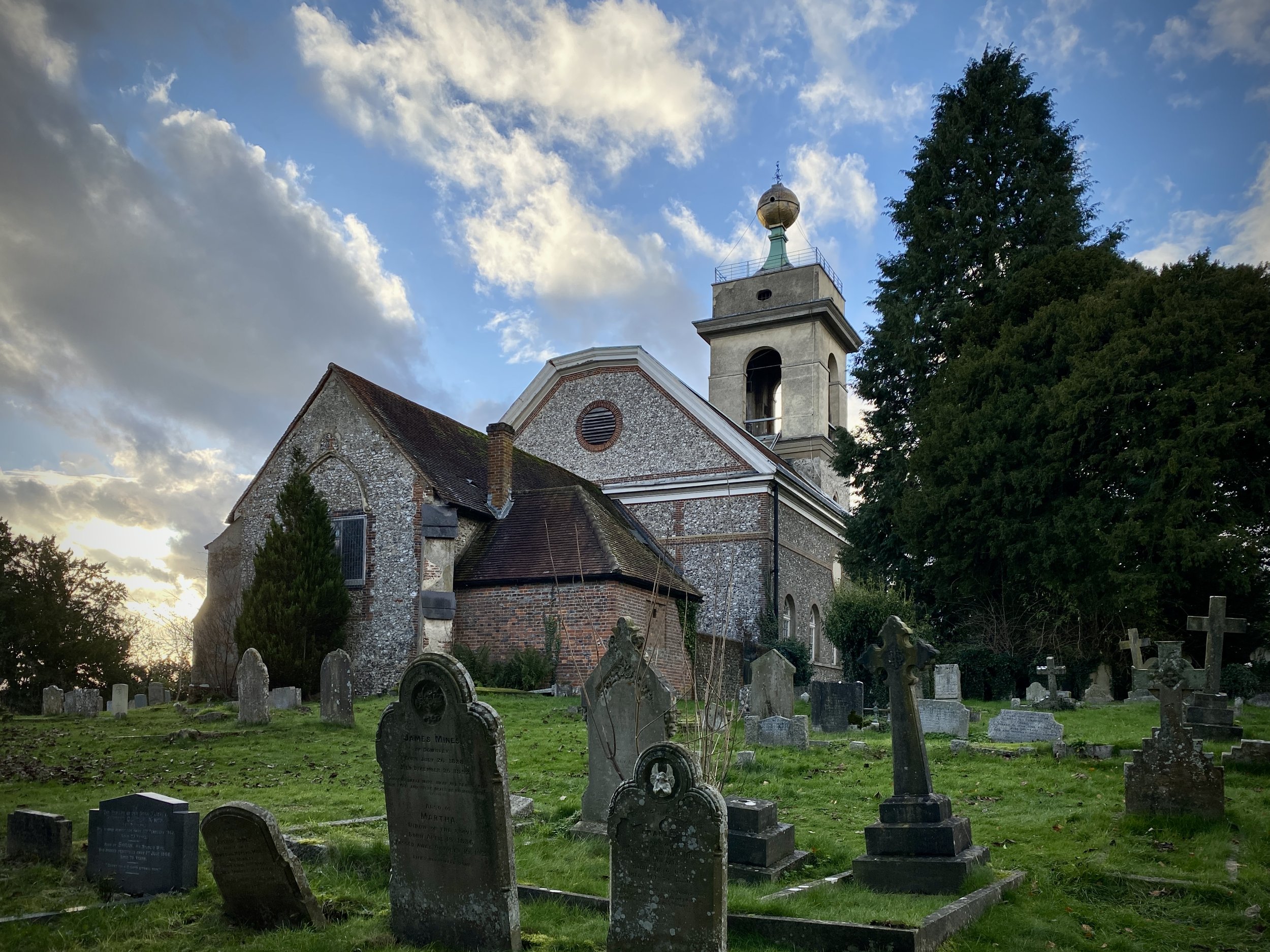
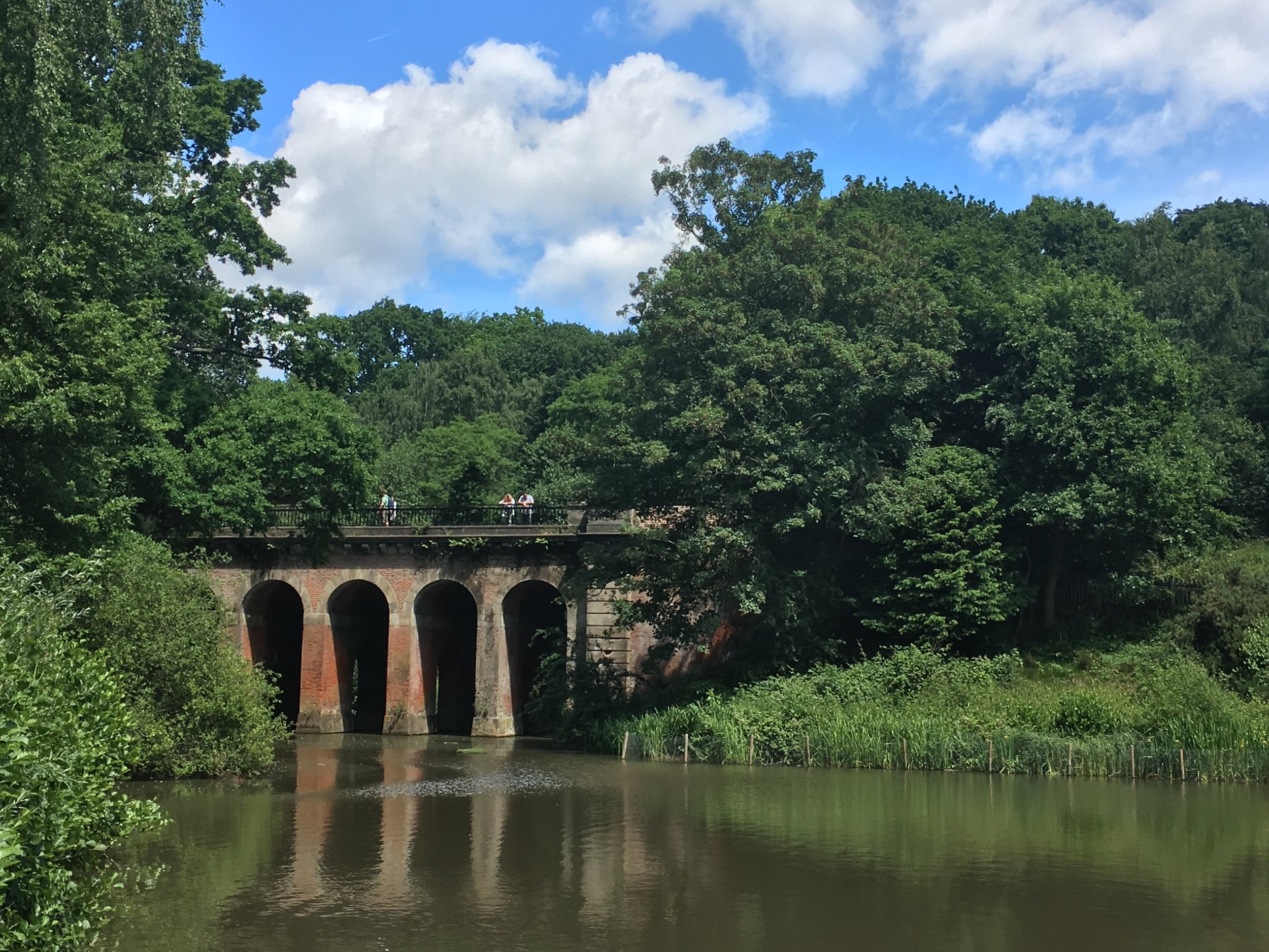
At the top of the hill leave The Ridgeway and continue along the lane down the hill following the Midshires Way. This will lead you to the village of Bledlow where the Lions Of Bledlow pub is a god place for a final stop before the final stage of the route. After the pub follow Church End (road), take a left onto Perry Lane and head north. Perry Lane crosses under a railway bridge that carries the Historic Railway. This is the site of the old Bledlow Bridge Halt Station. You can’t access the station from the road but it is visible from the Historic Railway.

At the end of Perry Lane take a right onto the B4009 Lower Icknield Way and follow it in a north-eastly direction towards Princes Risborough. After 1 km you’ll arrive back at the bridge were the Phoenix Trail begins. Leave the B4009 and follow the NCN 57 back through Horsenden to The Mount.


Disused Stations on the Phoenix Trail

Displayed in order of the cycle route from Princes Risborough to Thame. Click on each photo to connect to the Wikipedia article for the station.


Disused Stations on the Princes Risborough to Watlington Line

Displayed in order of the cycle route from Watlington to Princes Risborough. Click on each photo to connect to the Wikipedia article for the station.


The Wycombe Railway and Princes Risborough to Watlington Railway Lines


More Disused Railway Posts


This is a great video by Paul and Rebecca Whitewick that tells the story of the Watlington to Princes Risborough line.


Chiltern Walks: Hambleden and Medmenham

River Thames between Mill End and Medmenham


Start & Finish: Car park next to the Stag and Huntsman, Hambleden, Henley-on-Thames RG9 6RP
Distance: 9.1 km (5.6 miles)
Elevation change: +/- 85m
GPX File: get via Buy Me a Coffee
Other routes touched (walk): The Chiltern Way, Shakespeare’s Way
Other routes touched (cycle): None
Pubs / Cafes on route: The Stag and Huntsman at the start and finish
Map: OS Explorer 171: Chiltern Hills West, Henley-on-Thames and Wallingford
Links: Hambleden, Medmenham


This is part of a series of short circular walks in the Chilterns. The guidance below will help you navigate but don’t use it as a fully accurate turn-by-turn guide. Always take a map and/or a GPX route and prepare well for the weather and terrain.

For this walk we parked in the private car park behind the Stag and Huntsman. Although there’s free on-street parking in the village, it gets very busy and takes away from the old-fashioned feel of the village. The car-park, at time of writing, can be paid only by phone via an app or text.

From the car-park walk through the village past the church and the village stores to the small bridge over the Hambleden Brook. Immediately after the bridge take a footpath on the left that crosses fields and follows the Hambleden Brook in a southerly direction. The path ends 1.3 km from the car-park at a small road leading to Rotten Row. Take a right onto this road then a left onto Skirmett Road. Continue along the pavement on Skirmett Road until it ends at the A4155.

Take a left onto the A4155 and follow it for 100m. Cross over the road and into a small parking area to the left of the last house on the south side of the A4155. Walk through the car park then take a left onto a path that leads to Ferry Lane. Continue along Ferry Lane to the end where there’s a footpath junction. Take a right to follow the path along the side of the field towards the river. Follow the path next to the river for 2.2 km until you reach the small bridge over a stream at (a different) Ferry Lane.

Here’s you’ll find an elaborate monument to a legal case regarding the ferry that used to cross the river here. The inscription says “This monument was erected to commemorate the successful action fought by Hudson Ewbank Kearley First Viscount Devonport which resulted in the Court of Appeal deciding on the 28th of March 1899 that Medmenham Ferry is public”.

Take a left onto Ferry Lane, following it for 300m until you reach a footpath on the left opposite the last house on the right. Follow this footpath until you meet the access road to the large estate to the left of the footpath. The access road is private but there’s a footpath that runs parallel to it on it’s western edge. Follow this path in a northerly direction until a path juction near a stream. Cross over the stream and continue along the path in a north-westerly direction to meet the A4155.

Cross over the A4155 to take the first footpath on the right. This leads steeply up a hill into woodland that’s part of the Hambleden Estate. Keep to the right at the first footpath junction on the hill to takes the path that leads to the small road to Rotten Row. Cross over and continue along the footpath until you’re back at Hanbleden.


Walking The Chiltern Way

The Chiltern Way is a 134 mile (215 km) long distance path around the Chiltern Hills Area of Outstanding Natural Beauty (AONB). My friend Brian and I have been doing a section a year on or around the Winter Solstice since 2019. At the current rate we plan to be finished in December 2027.

Listed below are the 9 sections of the Chiltern Way that we have either completed or plan to complete. Click on the link for the blog post for already completed sections.

Futher down the page you can find details of short circular walks that include parts of the Chiltern Way.


The Chiltern Way in 9 Sections

Numbers above correspond to each section. Route direction is clockwise.


Short Walks Including The Chiltern Way

Click on the links below for details on short circular walks that include the Chiltern Way. The numbers in brackets at the start of the bullet relate to the related section of the Chiltern Way above.


Books and Maps


Richard gowerComment
2022 in numbers

My stats for the year:


TOTAL DISTANCE IN 2022

  • Run (outdoor): 519 miles (830 km)

  • Cycle (Outdoor): 651 miles (1,042 km)

  • Cycle (Zwift): 1,160 miles (1,857 km)

  • Trek: 642 miles (1,028 km)

  • Total = 2,976 miles (4,761 km)

Trek = recorded hiking & walking events, not general steps.


Telegraph Hill: New Forest National Park High Point*

Significance: New Forest National Park high Point
Member of: N/A
Parent Peak: Win Green (?) NHN = Win Green
Elevation: 127m
Date “climbed”: December 28th 2022
Coordinates: 50° 56' 57'' N, 1° 40' 37'' W
On route of: N/A
Map: New Forest Map | Southampton, Ringwood, Ferndown, Lymington, Christchurch & Bournemouth | Ordnance Survey | OS Explorer Map OL22
Links: Wikipedia (New Forest), Peakbagger

*Telegraph Hill is, according to Peakbagger and some other sources, the highest point in the New Forest National Park. However, other sources list the high point as Pipers Wait which is 2 metres higher. I had only discovered Pipers Wait after having bagged Telegraph Hill, so a return visit will be needed at some point.

Bagging Telegraph Hill is pretty simple as the high ground is at and around the car park. The car park can be a good base for walk around the area. We were there on a rainy day just after Christmas so opted for a quick drive-by instead. Two nearby OS Trig Pillars, Pound Bottom and Bramshaw can be bagged in either a walk based from the Telegraph Hill car park or as quick drive-bys.

The name Telegraph Hill is due to a semaphore telegraph station built here in 1795. The station was one of the points where the admiralty communications were transmitted to London. This station was on the uncompleted London to Plymouth line.


New Forest Walks: Brockenhurst, Sway and the Disused Railway

Bridge over the disused railway.


Start: Brockenhurst Railway Station: Brockenhurst, SO42 7TW
Finish: Sway Railway Station: Sway, Lymington SO41 6BA
Distance: 10.6 km (6.6 Miles)
Elevation change: +79m / -101m. Net -22m
GPX File: get via Buy Me a Coffee
Other Routes Touched (walk): Southampton and Dorchester Railway Path
Other Routes Touched (cycle): NCN 2
Pubs / Cafes on route: Several in Brockenhurst and Sway. None on the route
Map: New Forest Map | Southampton, Ringwood, Ferndown, Lymington, Christchurch & Bournemouth | Ordnance Survey | OS Explorer Map OL22
Links: Brockenhurst, Southampton and Dorchester Railway, Sway


This is a flat(ish) point to point walk between Brockenhurst and Sway railway stations, taking in a stretch of the disused Southampton and Dorchester railway path. The guidance below will help you navigate but don’t use it as a fully accurate turn-by-turn guide. Always take a map and/or a GPX route and prepare well for the weather and terrain.

From Brockenhurst Station cross over the car park onto Avenue Road and follow it in a north-westerly direction to Sway Road. Take a left onto Sway Road then a right into a small car park to the left of the school. Continue through the car park onto a path that crosses Culverley Green to Burley Road. Take at left at Burley Road and follow it for 300 metres before taking a path on the left. Continue along this path with the stream on your left and farm buildings on your right. Continue following this path in a roughly south-westerly through Hinchslea Bog. We were there in winter after a lot of rain and the Bog was very ….boggy. Make sure you wear waterproof boots and are prepared to jump over a few streams and puddles.

At 3km from the start of the walk you’ll arrive at a crossing in the path. Take the left hand path which will take you to the start of the Southampton and Dorchester Railway path at the south-western corner of the golf course. Take a left and follow the railway path for ~3.5 km until the path ends and the old rail route becomes a road. From here you can either retrace your route along the railway path or take another path just to the south back to the edge of the woods near Oaken Caravan site. From here leave the railway path and follow a footpath in a south-easterly direction through the woods to Adlams Lane.

Follow Adlams Lane to the junction with Mead End Road, then take a left onto Mead End Road and follow it onto Station Road to reach Sway Station. From here you can catch a train back to Brockenhurst (1 stop).

Scroll down for information on the Old Station Tea Room on the site of the old Holmsley Station, further along the disused rail line.


Holmsley Railway Station - The Old Station Tea Room

The route described above covers the section of the old Southampton to Dorchester line that has been converted to a shared path for walking, cycling and riding. Further up the line to the west, on the section that’s now a road, you can find the old Holmsley Station, now converted into a Team Room. It’s a great place to stop whether you’re a train enthusiast or not. It’s been lovingly restored and is now a busy cafe.

Links:


More Disused Railway Posts


Walking The Shakespeare’s Way Part 8: North-East Hambleden Circular

Near Rotten Row


Start & Finish: Car park next to the Stag and Huntsman, Hambleden, Henley-on-Thames RG9 6RP
Distance: 9.7 km (6 miles)
Elevation change: +/- 145m
Shakespeare’s Way section covered: Hamble Brook to Rogues Plantation: 2.9 km
GPX File: get via Buy Me a Coffee
Other routes touched (walk): Shakespeare’s Way
Other routes touched (cycle): Chilterns’ Cycleway
Pubs / Cafes on route: The Stag and Huntsman at the start and finish
Map: OS Explorer 171: Chiltern Hills West, Henley-on-Thames and Wallingford
Links: Hambleden


The Shakespeare’s Way is a 235 km / 146 mile mile long-distance path connecting Shakespeare's birthplace in Stratford-upon-Avon with the Shakespeare's Globe (Theatre), Southwark, London. A 34km section of the path cuts through the Chiltern Hills National Landscape in a south-easterly direction. Our walks take in short sections of the Shakespeare’s Way and loop back to the start on other paths. The Shakespeare’s Way is reasonably well marked however you’ll need a map or GPX route to keep on track for the return sections of the loops. The guidance below will help but don’t use it as a fully accurate turn-by-turn guide.

For this walk we parked in the private car park behind the Stag and Huntsman. Although there’s free on-street parking in the village, it gets very busy and takes away from the old-fashioned feel of the village. The car-park, at time of writing, can be paid only by phone via an app or text.

From the car-park follow the Chiltern Way as it heads out of the village in an easterly direction. You’ll soon ascend into North Cot Wood, then level off as you cross fields to Rotten Row. After 2km you’ll reach the Marlow Common to Rotten Row road. Take a right onto it then, after ~150m take a left into the woods. Continue down the hill to the clearing, taking a left and leaving the Chiltern Way as it tracks east.

Follow the path in a northerly direction for just over 1km to take a right onto Chisbridge Lane. Soon there will be a split where a farm track leaves the lane. Follow this track to the left. Before this track reaches a cross-roads take a left onto a footpath that takes a westerly route through Bushes Wood to Colstre Lane. Follow Colstre Lane, still heading west for 250m, taking a right onto a footpath that follows a metal fence down the hill. Follow this path for 1.25km until you return to the Chiltern Way. Take a left onto the Chiltern Way and follow it back to Hambleden.

The Hambleden and Rotten Row walk is a shorter version of this circular that includes the Hutton’s Farm Trig Pillar.


Shakespeare’s Way Previous Section (north): Southend and Skirmitt (blog post coming soon)
Shakespeare’s Way Next Section (south): Bovingdon Green and Shillingridge Wood

Walking The Chiltern Way Part 4 - Streatley to Peter’s Green

Through fields to Lilley


Start: The Chequers pub, 171 Sharpenhoe Road, Streatley, Luton, LU3 3PS
Finish: The Bright Star Pub, Kimpton Road, Peter's Green, Luton, LU2 9QP
Distance: 20.8 km (12.9 Miles)
Elevation change: +223m / -227m. Net -4m
GPX File: get via Buy Me a Coffee
Other Routes Touched (walk): Icknield Way Path, John Bunyan Trail
Other Routes Touched (cycle): Chilterns Cycleway, Icknield Way Trail
Pubs / Cafes on route: The Chequers at the start and The Bright Star at the end plus The Lilley Arms (just off route at 8.7 km in) and The King William (13.3 km in)
Maps:
- Luton & Stevenage Map | Hitchin & Ampthill | Ordnance Survey | OS Explorer Map 193
- St Albans & Hatfield Map | Hemel Hempstead & Welwyn Garden City | Ordnance Survey | OS Explorer Map 182
OS Trig Pillar: TP6734 - Warden Hill
Links: Chiltern Way (Chiltern Society), Streatley, Luton, Lilley


This is the fourth of a series of point to point walks on the Chiltern Way. The full trail is a 134 mile (215 km) long distance path around the Chiltern Hills Area of Outstanding Natural Beauty (AONB). My friend Brian and I have been doing a section a year on or around the Winter Solstice since 2019. At the current rate we plan to be finished in December 2027. The Chiltern Way is well sign-posted however you should take a map or GPX route to keep on track and be prepared for all weathers. This post isn’t intended as a fully accurate turn-by-turn guide.

It had been 2 years since Brian and I had been on the Chiltern Way. An operation had put him out of action last winter so we skipped a year. Our Summer Solstice way on the River Ver Trail was a good test that his body was functioning again and were back on the trail. We finished Part 2 at Chalk Hill on the A5 but had already covered the next section to Streatley a couple of years previously on the Icknield Way. Rather than cover those 17 km again we picked up the trail at the Chequers pub in Streatley.

From Streatley the Chiltern Way splits off from the Icknield Way for 3 km, reconnecting with it on the ascent up to Warden Hill. After 4.5 km you’ll be at the highest point on this section where you can hop over the fence to bag the Warden Hill Trig Pillar. This is also a great spot to get a panorama of Luton town and the rest of the Chilterns the other side of the gap.

Despite being the highest point on this section, Warden Hill isn’t the highest point in Luton as it’s just outside of the town boundary. You’ll reach the Luton High Point a further 2.5 km from the Trig Pillar at the entrance to Whitehill Farm at the end of Butterfield Green Road. There’s nothing of interest here and I forgot to take a photo to mark the spot, but you can get a good view of it on Google Street View.

From Whitehill the route descends to Lilley where you’ll find the first pub on this section after Streatley. We were looking forward to a morning coffee but had arrived an hour too early and it wasn’t open yet. Instead we pushed on a further 4.5 km to Mangrove to visit the King William pub but also found it to be closed. Getting to pubs at the wrong time was becoming a theme for our Winter Solstice walks. By starting so early in the day we were covering a lot of ground before pubs opened. For this trip there were no more pubs or cafes between Mangrove and the finish point so broke into our emergency rations and carried on.

The final part of this section is a curve around Luton airport. It’s a pleasant section through farms and woodland with the occasional jet descending overhead and a a whiff of kerosene.

This was a much easier section than I expected. The forecast was for heavy rain and I was preparing for the sticky mud that we had experienced on previous sections. As it turned it it was a bright, dry day will little mud. This brought us to the end point at lunch time rather than sunset giving us a shorter than expected Solstice walk. We weren’t complaining though as our main thought was lunch at the Bright Star pub. The good news was that it was open. The bad news was that it wasn’t serving food. We returned by car to the Chequers at Streatley, our lunch stop on the Icknield Way for a big plate of fish and chips.

Don’t get put off by this section when you look at it on a map. By being so close to Luton town and the airport you could mistake it for being a less pleasant part of the Chiltern Way. The reality is that the trail keeps to the hills and farms outside of the town.


Whitehill-Butterfield Green

Significance: Highest point in the Unitary Authority of Luton
Member of: N/A
Parent Peak: Wendover Woods (Haddington Hill), NHN = Dunstable Downs
Historic County: Bedfordshire (of which Dunstable Downs is the County Top)
Elevation: 178m
Date “climbed”: 20th December 2022
Coordinates: 51° 54' 53'' N, 0° 23' 40'' W
Map: Luton & Stevenage Map | Hitchin & Ampthill | Ordnance Survey | OS Explorer Map 193
Links: Wikipedia (Luton), Peakbagger, Hillbagging


Previous section: see Icknield Way Part 2 - Chalk Hill to Pirton (first half to Streatley follows the Chiltern Way)
Next section: Walking The Chiltern Way Part 5: Peter’s Green to Shubhill Common


Chiltern Walks: Stokenchurch and The Ridgeway

View to Radnage


Start & Finish: Free on-street parking around or near The Common, Stokenchurch, HP14 3QA
Distance: 10.6 km (6.6 miles)
Elevation change: +/- 231m
GPX File: get via Buy Me a Coffee
Other routes touched (walk): The Chiltern Way, The Ridgeway, Aston Rowant Discovery Trail
Other routes touched (cycle): Chilterns Cycleway
Pubs / Cafes on route: Several in Stokenchurch at the start and finish, plus the Sir Charles Napier pub (2.4 km in)
Map: - OS Explorer Map (171) Chiltern Hills West, Henley-on-Thames and Wallingford
Links: Stokenchurch, The Ridgeway, Aston Wood & Juniper Bank (Woodland Trust)


This is part of a series of short circular walks in the Chilterns. The guidance below will help you navigate but don’t use it as a fully accurate turn-by-turn guide. Always take a map and/or a GPX route and prepare well for the weather and terrain.

For this walk we retuned to Stokenchurch where we visited a week earlier for our Stokenchurch and Radnage walk. Parking at the same place opposite the Kings Hotel we retraced our steps along the Chiltern Way for 300m. Rather than continue along the Chiltern Way the route follows Park Lane for another 400m then takes a footpath heading north where Park Lane curves to the right. Keep following this path in a northerly direction until you reach the Sir Charles Napier pub on Sprigs Holly Lane. There’s a few path junctions to navigate on this section so keep a close eye on your map to make sure that you reach the pub.

Take a left onto Sprigs Holly Lane, walking in a north-westerly direction as it becomes Chinnor Hill (road). After 900m from the pub take a footpath into the woods when the road curves to the right. Descend steeply through the woods for 800m to reach the Ridgeway. Take a left onto the Ridgeway and follow it for 2 km to the junction with the Aston Rowant Discovery Trail. Take a left onto the trail, leaving the Ridgeway and ascend through Juniper Bank and Grove Wood to the A40.

Follow the A40 for 300m then take a left onto Kingston Hill (road). The A40 can be very busy but there’s a safe path on the left hand side. Follow Kingston Hill for 200m then take a right onto a road leading to a farm. The farm road becomes private property after the gatehouse so you’ll need to take the footpath on the left to divert around the field. Take the first right onto another path that crosses the front of the farm. From the farm continue along the path for 1.2 km to re-enter Stokenchurch at Chalk Farm Road.


Chiltern Walks: Stokenchurch and Radnage

View to Radnage


Start & Finish: Free on-street parking around or near The Common, Stokenchurch, HP14 3QA
Distance: 9 km (5.6 miles)
Elevation change: +/- 182m
GPX File: get via Buy Me a Coffee
Other routes touched (walk): The Chiltern Way
Other routes touched (cycle): Chilterns Cycleway
Pubs / Cafes on route: Several in Stokenchurch at the start and finish, plus the Mash Inn, just off the route (3.7 km) in Radnage.
Map: - OS Explorer Map (171) Chiltern Hills West, Henley-on-Thames and Wallingford
Links: Stokenchurch, Radnage


This is part of a series of short circular walks in the Chilterns. The guidance below will help you navigate but don’t use it as a fully accurate turn-by-turn guide. Always take a map and/or a GPX route and prepare well for the weather and terrain.

For this walk we parked in Stokenchurch town centre near where the Chiltern Way crosses the A40. From here, the route follows the A40 towards High Wycombe for 450 metres before taking a left onto George Road. At the intersection of George Road and the oddly named Bartholemew Tipping Way take a right onto a footpath heading in a south-easterly direction running parallel to the A40. Continue along the footpath as it follows the perimeter of Stokenchurch Pre-School then crosses a field and onto a farm track heading in a north-easterly direction.

At 2.5 km into the walk the footpath ends at a driveway to a large house. Take a left onto the driveway and follow it into the woods where you’ll descend to Grange Farm Road. Take a right onto the road and follow it in an easterly direction. Continue onto Bennet End Road, right onto Town End Road and left onto Bottom Road. Approximately 180m along Bottom Road take a footpath on the left and ascend steeply into the woods until you reach the junction with the Chiltern Way. Take a left onto the Chiltern Way and follow it for 4 km back to Stokenchurch.

Although there’s no pubs directly on the route after Stokenchurch, the Mash Inn is just off the route at 3.7 km in Radnage. To get there take a left up Horseshoe Road when Grange Farm Road meets Bennet End Road.


Hurtwood 50k Ultra Marathon

In The Hurtwood between Checkpoints 2 and 3


When: December 4th 2022
Start and Finish
: Dorking Sports Centre, Reigate Road, Dorking, RH4 1SN
Distance: 50 km (31 miles)
Elevation change: +/- 1,084m
GPX File: get via Buy Me a Coffee
Other routes touched (walk): Leith Hill Greenway
Other routes touched (cycle): NCN 22, Surrey Cycleway
OS Trig Pillar:
- TP6411 - The Nower (2 km from start)
- TP2379 - Coneyhurst Hill (19 km from start)
Maps:
-
Dorking, Box Hill & Reigate Map | Leatherhead & Caterham | Ordnance Survey | OS Explorer Map 146
- Guildford & Farnham Map | Godalming & Farnborough | Ordnance Survey | OS Explorer Map 145
Finish time
: 7 hours 13 minutes
Links:
- Dorking, Milton Heath and The Nower, Wescott, The Hurtwood, Holmbury Camp, Holmbury St Mary, Winterfold Forest
- Leith Hill: Wikipedia, Peakbagger, Hillbagging, National Trust


My 10th Ultra was on familiar ground. Timea and I had been walking the Greensand Way in the Surrey Hills in small sections this year. As the Autumn finished we made it as far as Dorking and decided to pause until the Spring. I had signed up the the Hurtwood 50k in the Summer but hadn’t realised that the start and finish would be in the exact place as we finished our walks.

The course starts at Dorking Sports Centre and follows the high street for ~1km before reaching the Greensand Way. From here it follows the Greensand Way for 20km then takes an 8km circle around Winterfold Woods. After the circle the route retraces the Greensand Way back to Dorking. Along the way there’s >1000m metres of elevation, Leith Hill (Surrey’s County Top), Holmbury Hill, Pitch Hill, the Nower and 2 OS Trig Pillars. It felt like a Greatest Hits of the Surrey Hills walks that we had done over the Summer.

It was also the first winter Ultra that I attempted since my DNF on the Thames Path back in 2016. Wind and mud meant a very slow pace on that one and I had to pull out half way. That was a flat course too and I wasn’t confident in the weather or ground conditions for the Hurtwood after a wet autumn. As it turned out the ground was mostly dry, the air was nice and chilly and there was very little wind. These were perfect Ultra conditions for me.

This was my first out-and-back Ultra route. I wasn’t too excited about that as I normally prefer point-to-points. However, I found it to be a huge motivational advantage on the return stretch. It was still a long way but just seemed much easier as I was heading home. I found that I could run for longer stretches later in the race and the hills didn’t seem so tough. On the long descent from the summit of Leith Hill there was a moment when I thought I might beat my 50K PB of 6 hours 59 minutes.

The PB didn’t happen but I wasn’t bothered. I had forgotten about the return to The Nower, a steep hill on the approach to Dorking. In the end I finished in 7 hours 13 minutes, not far off my PB and not bad at all considering the more the double elevation of previous 50ks.

I’ll be doing some more distance events at this time of year. My mood dips from mid-November to mid-December due to a combination of a busy time at work and winter gloom. The focus on rest and nutrition leading up to this event kept me on track and the win of completing a very hilly winter Ultra will see me through till Christmas.

Thanks to Freedom Racing for hosting a well-managed, very rewarding event.


Chiltern Walks: Piddington and West Wycombe

West Wycombe Hill


Start & Finish: The Dashwood Roadhouse, Old Oxford Road, Piddington, Bucks, HP14 3BH
Distance: 8 km (5 miles)
Elevation change: +/- 243m
GPX File: get via Buy Me a Coffee
Other routes touched (walk): None
Other routes touched (cycle): Chilterns Cycleway
Pubs / Cafes on route: The Dashwood Roadhouse at the start and end
Map:
- OS Explorer Map (171) Chiltern Hills West, Henley-on-Thames and Wallingford
- OS Explorer Map (172) Chiltern Hills East
Links: Piddington, West Wycombe, West Wycombe Caves, Dashwood Mausoleum, National Trust - West Wycombe Park, Village and Hill


This is part of a series of short circular walks in the Chilterns. The guidance below will help you navigate but don’t use it as a fully accurate turn-by-turn guide. Always take a map and/or a GPX route and prepare well for the weather and terrain.

For this walk we parked outside the Dashwood Roadhouse, formerly the Dashwood Arms. The pub is on the Old Oxford Road which runs parallel to the A40. There’s plenty of free parking spaces outside of the pub. From the pub cross over the road and follow the private road into Ham Farm. Turn right after the first set of farm buildings and take the footpath that climbs the hill in a north-easterly direction. Continue on this path crossing over Bottom Road, Chinnor Road and Slough Lane.

After Slough Lane climb the steep hill to Hearton Wood and take a right onto the main track that follows the ridge in a south-easterly direction. At the car-park leave the track to visit the Dashwood Mausoleum and St. Lawrence Church. If you have more time you can visit the Hellfire Caves under the hill. The entrance to this is on Church Road.

Descend the hill to the junction of Chorley Road and Oxford Road (A40), Take a right onto the Oxford Road and follow the pavement for 200m, then cross over to the south side to Towerridge Lane. Follow Towerridge Lane up the hill for 900 metres, curving to the right, until it stops at some private houses. When the lane becomes a foopath follow it in a south-westerly direction for 300 metres then take a footpath on the right into the woods. Follow this path in a westerly direction through Upper Dorrells Wood, cross over bullocks Farm Lane and onto a north-westerly footpath.

When you reach the village of Piddington take Queen Street to Princes Street, then follow that until you reach the Old Oxford Road and the Dashwood Arms.


Chiltern Walks: Piddington and Bottom Wood

Between Horleys Green and Piddington


Start & Finish: The Dashwood Roadhouse, Old Oxford Road, Piddington, Bucks, HP14 3BH
Distance: 7.9 km (4.9 miles)
Elevation change: +/- 105m
GPX File: get via Buy Me a Coffee
Other routes touched (walk): None
Other routes touched (cycle): None
Pubs / Cafes on route: The Dashwood Roadhouse at the start and end
Map:
- OS Explorer Map (171) Chiltern Hills West, Henley-on-Thames and Wallingford
- OS Explorer Map (172) Chiltern Hills East
Links: Piddington


This is part of a series of short circular walks in the Chilterns. The guidance below will help you navigate but don’t use it as a fully accurate turn-by-turn guide. Always take a map and/or a GPX route and prepare well for the weather and terrain.

For this walk we parked outside the Dashwood Roadhouse, formerly the Dashwood Arms. The pub is on the Old Oxford Road which runs parallel to the A40. There’s plenty of free parking spaces outside of the pub. From the pub cross over the road and follow the path that runs in a north-westerly direction along a farm track. After ~500m from the A40 you’ll meet a split in the path where you’ll continue along the farm track to the right. Continue following this track for 2km through Bottom Wood until you reach a field.

Instead of crossing into the field take a right and following the path in a north-westerly direction until you reach the end of Radnage Common Road. At this path junction take the path that’s straight ahead not the first left into the field. Continue for another 300m then take a left. Continue for another 350m, cross over Water End Road and continue until you’re back at the A40.

Carefully cross over the A40 and continue in a south-westerly direction through the wood for 400m. Take a left hand turn to follow a path through a field that takes you to Copse Drive in Horleys Green. At the end of Copse Drive take a right onto Bigmore Lane, than a left at onto Jones Way. When you reach the footpath at the entrance to the senior living estate take a right and follow the path south for 500m. Take a left to follow a path in an easterly direction for 2.2 km back to the Dashwood Roadhouse where you started.

This route is a variation on the Bottom Wood Walk with Peter Towersey published in the Chiltern Society magazine.


Walking The Greensand Way Part 12 - The Nower and Dorking

Denbies Hillside. View towards railway and Westcott


Start & Finish: Reigate Road Car Park, 9 Reigate Rd, Dorking RH4 1SN
Distance: 10.8 km (6.7 miles)
Elevation change: +/- 222m
Greensand Way section covered: Bury Hill to Punchbowl Lane: 5 km
GPX File: get via Buy Me a Coffee
Other routes touched (walk): None
Other routes touched (cycle): NCN 22, Surrey Cycleway
OS Trig Pillar: TP6411 - The Nower
Pubs / Cafes on route: The Queen’s Head (6.5 km in) and several on Station Road at the start/finish
Map: Dorking, Box Hill & Reigate Map | Leatherhead & Caterham | Ordnance Survey | OS Explorer Map 146
Links: Dorking, Milton Heath and The Nower, National Trust Denbies Hillside, Deepdene Estate


This is the twelfth of a series of short circular walks featuring the Greensand Way. The full trail is a long distance path stretching from Haslemere in Surrey to Ham Street in Kent. Our walks take in short sections of the Greensand Way and loop back to the start on other paths. The Greensand Way is well sign posted however you’ll need a map or GPX route to keep on track for the return sections of the loops. The guidance below will help but don’t use it as a fully accurate turn-by-turn guide.

For this section we parked at Dorking Sports Centre at the northern end of the town. From here cross over Reigate Road and follow London Road until a footpath on the left that takes you onto a bridge over the Pipp Brook. Take a left onto the path that follows the brook. Pass the mill pond on your left, and cross the park to reach a footpath that cuts into a residential area called the Parkway. Continue in an westerly direction to Chalkpit Lane and take a right. Walk up Chalkpit Lane and take a footpath on the left after the railway bridge. Take a right onto Ranmore Road then a left onto a footpath immediately after the school.

You’ll now be in the Denbies Hillside National Trust property. Continue in a westerly direction for ~1.5 km until the path curves down to the south to meet the railway line. Carefully cross the level crossing and continue south for 1.2 km until you meet the A5 Guildford Road at Westcott. Shortly after the railway line you’ll reach a path junction in Clay Copse. Take the right hand path up through the woods to keep on track.

Cross over the A25 Guildford Road and continue south onto Milton Street. After 200m you’ll rejoin the Greensand Way at the point where you left it on section 11. Follow the Greensand Way for 5 km to Punchbowl Lane at Deepdene. Along the way you’ll pass up and over The Nower (with an OS Trig Pillar on top), the southern end of Dorking Town and what’s left of the Deepdene Estate. The Queen’s Head pub at 6.5km is a good place to stop for a rest.

At Punchbowl Lane you’ll leave the Greensand Way which heads in a southerly direction. Instead, take a left, heading north, then a right onto Ladyegate Road. After 200m take a right onto a footpath leading to Deepdene Park Road. Take a left, following Deepdene Park Road to Deepdene Drive. Take a right and continue to the end of the estate at the A24 Deepdene Avenue. Cross over and take the footpath leading to Moores Road. Take a right, a right again and you’ll be back in front of Dorking Sports Centre.


Walking the City of London Boundary

View of the Thames from the southern border of The City at the City/Tower Hamlets/Southwark Tri-point

The City of London is a unique place in the UK’s geography and governance. It’s part of Greater London but not one of the 32 London Boroughs. It’s inside a city but is a city itself. It’s a Ceremonial County and was within the boundaries of the Historic County of Middlesex but was self-governing.

The City is nicknamed the Square Mile as it’s internal area is 1.12 m² (2.9 km² ). The boundary is less that 11 km with negligible elevation change which makes it a very manageable walk of approximately 3 hours. As as walk it’s also fascinating as you’ll pass the 14 dragons that guard the boundary, 7 tri-points with the London Boroughs and the highest point of the City of London.

The dragons are cast iron statues the guard the main road entrances to the City of London. They were designed and installed in the 1960s. For a more detailed history of the dragons, see the post on IanVisits.

The page below describes the walk that we did in October 2022. Directions start at the Victoria Embankment Dragon, close to Temple Station, but there’s several other good starting points close to tube or rail stations. Let me know if you spot an error or have an interesting fact about the boundary to share. I’ll donate £1 to one of my causes for each update to the page.


Start & Finish: At the Embankment Dragons, Victoria Embankment, Temple, London, WC2R 2PN
Distance: 10.6 km (6.6 miles)
Elevation change: +/- 89m
GPX File: get via Buy Me a Coffee
Other routes touched (walk): Thames Path, Jubilee Walkway, Jack The Ripper Walk, Jubilee Greenway
Other routes touched (cycle): CS 3,7, C2,6
Map: London North Map | The City, West End, Enfield, Ealing, Harrow & Watford | Ordnance Survey | OS Explorer Map 173
Links: City of London, Dragon Boundary Mark

Route of the boundary walk showing locations of the Dragons (liliac icon), Tri-points (brown icon) and high point (red icon)


The City / Borough Tri-Points

Our boundary walk was partly inspired by David Natzler’s project to visit the Borough Tri-Points of Greater London. David’s project, documented in this blog post, visits 32 points where three London Borough’s connect. The City of London isn’t a borough so the 7 Tri-Points of the City with 2 boroughs was out of scope for that project. Given that all 7 of these are on the City of London boundary I wanted to find them all.

David had the great idea of using an oak sprig in photos of each Tri-Point. I wanted to do something slightly different and used a fridge magnet of a London postbox to show the Tri-Point location. Scroll down to see details and the photo of each Tri-Point at the relevant part of the walk.


Dragons 1 & 2: Embankment

Type: Twins, either side of Victoria Embankment, mounted on stone pedestals.
Distance into walk
: 0 km
Address: Victoria Embankment, Temple, London, WC2R 2PN.
Nearest Station: Temple (Circle, District)
Coordinates: 51°30'40.0"N 0°06'41.5"W
Links: Victoria Embankment, Inner Temple Gardens


Dragon 3: Temple Bar

Type: Large single dragon on top of a memorial obelisk.
Distance into walk
: 0.4 km
Address: The Strand, Temple, London, EC4A 2LT
Nearest Stations: Temple (Circle, District) or City Thameslink
Coordinates: 51°30'49.4"N 0°06'42.9"W
Directions from previous point: Right onto Temple Place, up the Milford Lane steps, along Essex Street, right onto The Strand. Note that the boundary runs through the buildings east of Essex Street. Essex Street itself is actually in the City of Westminster.
Links: Temple Bar, Temple Bar Memorial, Royal Courts of Justice


City of London High Point

Distance into walk: 1 km
Address: Junction of Chancery Lane and High Holborn.
Nearest Station: Chancery Lane (Central)
Coordinates: 51°31'05.3"N 0°06'49.5"W
Directions from previous point: Left onto Chancery Lane, continue to the junction with High Holborn.
See this related post for more details and photos of the City of London High Point


Dragons 4 & 5: High Holborn

Type: Twin dragons on stone plinths either side of the road.
Distance into walk
: 1.2 km
Address: Either side of High Holborn near exit to Chancery Lane Underground. Staple Inn 5, London, WC1V 7QH.
Nearest Station: Chancery Lane (Central)
Coordinates: 51°31'05.1"N 0°06'40.7"W
Directions from previous point: Turn right out of Chancery Lane onto High Holborn, continue east.
Links: Chancery Lane, High Holborn

This one is often referred to as the Chancery Lane Dragon, however High Holborn is a more accurate name for its location.


Tri-Point: City of London / Westminster / Camden

Distance into walk: 1.3 km
Address: Between the two carriageways of High Holborn at the corner of High Holborn and Furnival Street, WC1V 7QU.
Nearest Station: Chancery Lane (Central)
Coordinates: 51°31'05.0"N 0°06'37.6"W
Directions from previous point: Continue east along High Holborn.
Links: City of Westminster, Camden


Dragon 6: Farringdon

Type: Single dragon on a pedestal.
Distance into walk
: 1.7 km
Address: South side of junction of Charterhouse Street and Furnival Street, EC4A 4LL.
Nearest Station: Farringdon (Circle, Hammersmith & City, Metropolitan, Elizabeth Line, Thameslink)
Coordinates: 51°31'06.6"N 0°06'19.1"W
Directions from previous point: Turn left onto Charterhouse Street at Junction of High Holborn/Hatton Garden/Charterhouse/New Fetter Lane.
Links: Farringdon, Smithfield, Smithfield Market

Look out for the 2 “bonus” dragons either side of the arch at the entrance to Smithfield Market on Charterhouse Street.


Tri-Point: City of London / Camden / Islington

Distance into walk: 1.7 km
Address: South side of junction of Charterhouse Street and Furnival Street, EC4A 4LL.
Nearest Station: Farringdon (Circle, Hammersmith & City, Metropolitan, Elizabeth Line, Thameslink)
Coordinates: 51°31'06.6"N 0°06'19.1"W
Directions from previous point: N/A - at Farringdon Dragon.
Links: Camden, Islington


Dragon 7: Barbican

Type: Single dragon on a pedestal.
Distance into walk
: 2.5 km
Address: Junction of A1 Goswell Road and Baltic Street West. 38 Goswell Road, Golden Lane Estate, London, EC1M 7AA.
Nearest Station: Barbican (Circle, Hammersmith & City, Metropolitan)
Coordinates: 51°31'06.6"N 0°06'19.1"W
Directions from previous point: Continue along Charterhouse Street until end, turn left onto A1 Goswell Road, continue north.
Links: Barbican, Barbican Estate, Golden Lane Estate


Dragon 8: Moorgate

Type: Single dragon on a pedestal.
Distance into walk
: 3.6 km
Address: South-east side of junction of Ropemaker Street/A501 Moorgate/South Place, EC2M 2RB.
Nearest Station: Moorgate (National Rail)
Coordinates: 51°31'08.5"N 0°05'15.9"W
Directions from previous point: Turn right into Baltic Street West, onto Baltic Street East, right onto Golden Lane, Left onto B100 Beech Street, onto B100 Chiswell Street, right onto Moor Lane, left onto Ropemaker Street.
Links: Moorgate

At the time that we visited in October 2022 the Moorgate Dragon was looking shiny and new having been recently replaced. The original had been removed to allow room for lorries accessing the construction site for Crossrail / The Elizabeth Line.


Tri-Point: City of London / Islington / Hackney

Distance into walk: 3.9 km
Address: North-West Corner of Finsbury Square / Sun Street and Wilson Street, EC2M 2PA.
Nearest Station: Liverpool Street (Circle, Hammersmith & City, Metropolitan, Central, Elizabeth Line, Overground, National Rail)
Coordinates: 51°31'13.2"N 0°05'06.9"W
Directions from previous point: Continue east along South Place, left onto Wilson Street, continue to junction with Sun Street.
Links: Islington, Hackney


Dragon 9: Bishopsgate

Type: Single dragon on a pedestal.
Distance into walk
: 4.5 km
Address: Corner of Worship Street and A10 Norton Foldgate.
Nearest Station: Liverpool Street (Circle, Hammersmith & City, Metropolitan, Central, Elizabeth Line, Overground, National Rail)
Coordinates: 51°31'08.5"N 0°05'15.9"W
Directions from previous point: Turn right onto Sun Street, curve to the left onto Appold Street, right onto Worship Street.
Links: Bishopsgate

This one is often referred to as the Liverpool Street Dragon, however Bishopsgate is a more accurate name for its location.


Tri-Point: City of London / Hackney / Tower Hamlets

Distance into walk: 4.5 km
Address: East side of A10 Shoreditch High Street opposite junction with Worship Street.
Nearest Station: Liverpool Street (Circle, Hammersmith & City, Metropolitan, Central, Elizabeth Line, Overground, National Rail)
Coordinates: 51°31'17.4"N 0°04'42.5"W
Directions from previous point: Opposite side of A10 North Foldgate to the Liverpool Street Dragon.
Links: Hackney, Tower Hamlets


Dragon 10: Aldgate

Type: Single dragon on a pedestal.
Distance into walk
: 5.5 km
Address: South-west corner of Middlesex Street and Aldgate High Street, E1 8AX.
Nearest Stations: Aldgate (Circle, Metropolitan) and Aldgate East (District, Hammersmith & City)
Coordinates: 51°31'08.5"N 0°05'15.9"W
Directions from previous point: Turn right out of Worship Street onto A10 North Foldgate, left onto Brushfield Street, right onto Fort Street, (briefly) right onto Artillery Lane, left onto Sandy’s Row, left onto Middlesex Street, left onto St Botolph Street.
Links: Aldgate


Dragon 11: Tower Hill

Type: Single dragon on a pedestal.
Distance into walk
: 6.6 km
Address: South side of Byward Street/Tower Hill, at 1 Tower Hill Terrace, London, EC3N 4EE.
Nearest Station: Tower Hill (Circle, District)
Coordinates: 51°30'34.1"N 0°04'43.1"W
Directions from previous point: Cross over Aldgate High Street onto A1210 Mansell Street, right onto Shorter Street, cross over The Minories and follow the north side of Trinity Square Gardens to Tower Hill (road). Cross over to South Side of Tower Hill (road).
Links: Tower Hill, Tower of London


Tri-Point: City of London / Tower Hamlets / Southwark

Distance into walk: 6.8 km
Address: In River Thames between west end of Millennium Pier (north-side) and east end of HMS Belfast (south-side).
Nearest Station: Tower Hill (Circle, District)
Coordinates: 51°30'24.7"N 0°04'48.7"W
Directions from previous point: Turn right onto Tower Hill Terrace, continue onto Petty Wales then to the Thames Path.
Links: Tower Hamlets, Southwark


Dragon 12 and 13: London Bridge

Type: Twin dragons on stone plinths either side of southern entrance to bridge.
Distance into walk
: 7.7 km
Address: On A3 London Bridge (road) at south end of #1 London Bridge (plus twin on opposite side of road), SE1 9AJ.
Nearest Station: London Bridge (Jubilee, Northern)
Coordinates: 51°30'23.6"N 0°05'16.5"W
Directions from previous point: Follow Thames Path in a westerly direction to London Bridge. Cross bridge to south side.
Links: London Bridge. Other bridges between London and Blackfriars: Southwark Bridge, Millennium Bridge.

The actual boundary of the City of London runs through the middle of the Thames between the City/Tower Hamlets/Southwark Tri-Point in the east and the City/Southwark/Lambeth Tri-Point in the west. Both London Bridge and Blackfriars Bridge are wholly within the City boundary and are overseen by the City of London Corporation (through Bridge House Estates). Two other bridges, between these: Southwark Bridge and Millennium Bridge are not part of the City of London, however the northern half of each is within the river boundary.


Dragon 14: Blackfriars Bridge

Type: Single dragon on a pedestal.
Distance into walk
: 9.7 km
Address: Middle of carriageway at southern end of A2021 Blackfriars Bridge (road), SE1 9UD.
Nearest Station: Blackfriars (Circle, District, Thameslink, National Rail)
Coordinates: 51°30'30.7"N 0°06'15.8"W
Directions from previous point: Cross back over London Bridge to north side of the Thames, continue along Thames Path in a westerly direction to Blackfriars Bridge. Cross bridge to south side.
Links: Blackfriars Bridge


Tri-Point: City of London / Southwark / Lambeth

Distance into walk: 10.5 km
Address: In River Thames between Inner Temple Gardens (north-side) and west end of the Oxo Building (south-side).
Nearest Stations: Temple (Circle, District) or Blackfriars (Circle, District, Thameslink, National Rail)
Coordinates: 51°30'35.2"N 0°06'41.3"W
Directions from previous point: Cross back over Blackfriars Bridge to north side of the Thames, continue along Thames Path in a westerly direction.
Links: Southwark, Lambeth


Tri-Point: City of London / Lambeth / Westminster

Distance into walk: 10.6 km
Address: In River Thames between east end of HQS Wellington (north-side) and The London Studios (south-side).
Nearest Station: Temple (Circle, District)
Coordinates: 51°30'35.5"N 0°06'33.1"W
Directions from previous point: Continue along Thames Path in a westerly direction.
Links: Lambeth, City of Westminster


A Load of Bollards

If collecting the dragons, the tri-points and the high point isn’t geeky enough for you, there’s also the bollards. We noticed that most of the bollards have a date at the bottom and decided to see if we could get the full set. We completed 1991 through to 2000 plus 1988 and 2007.


More London posts