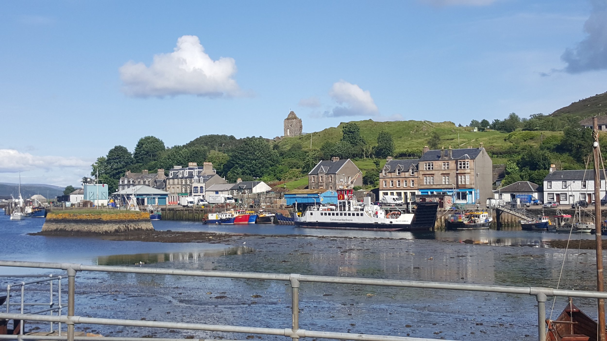
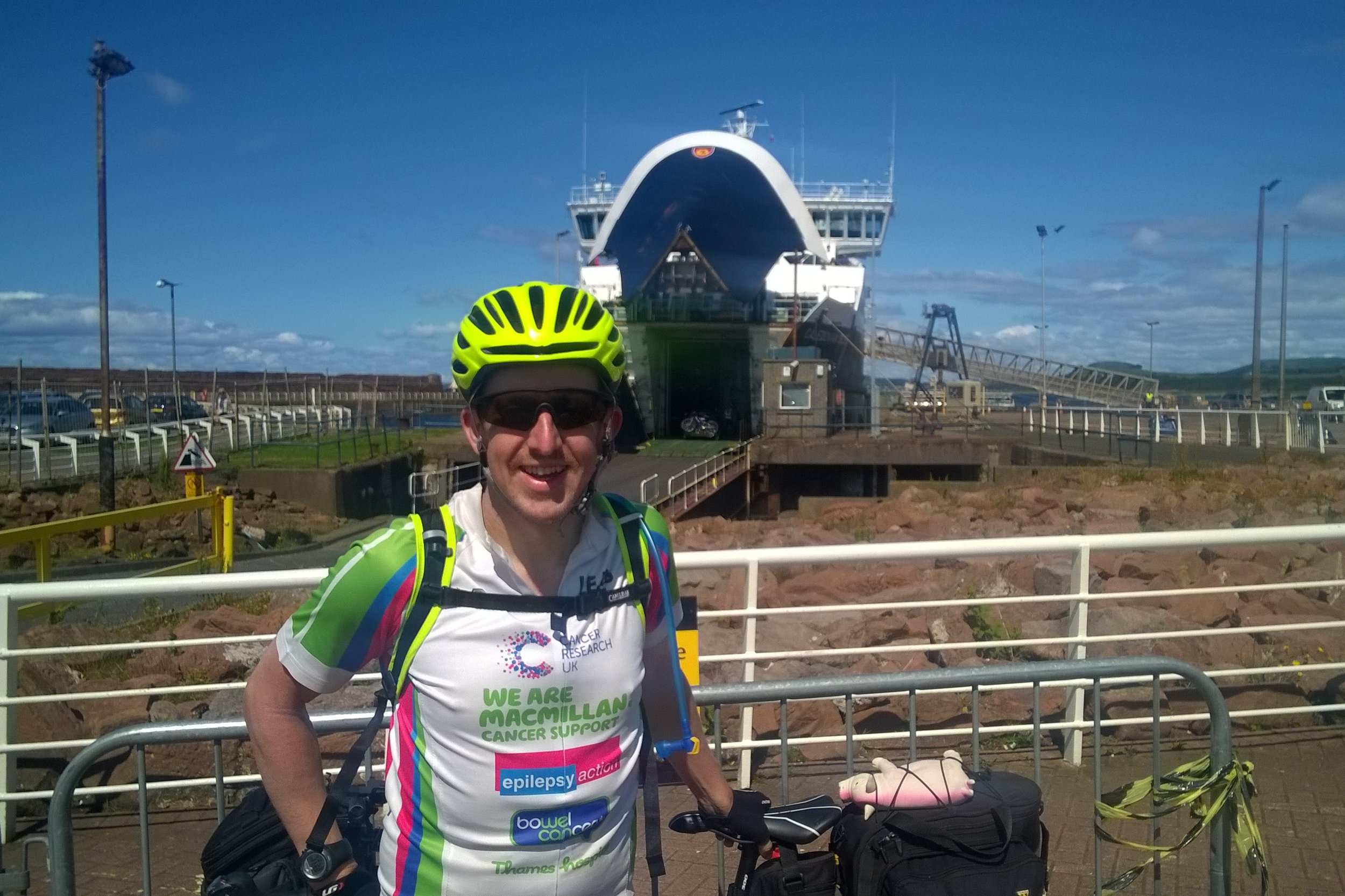
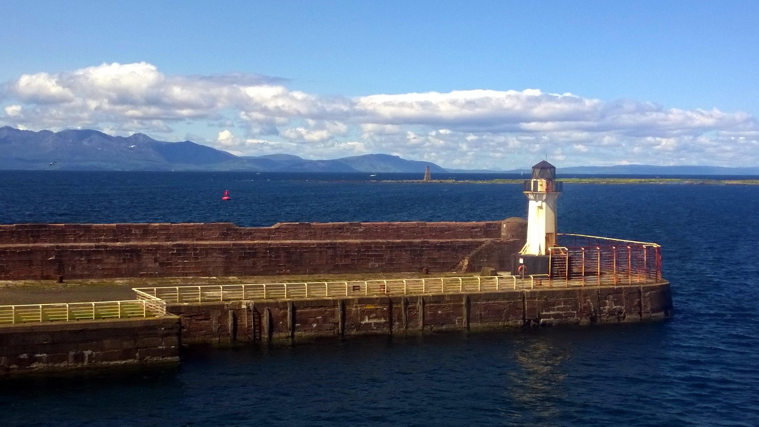
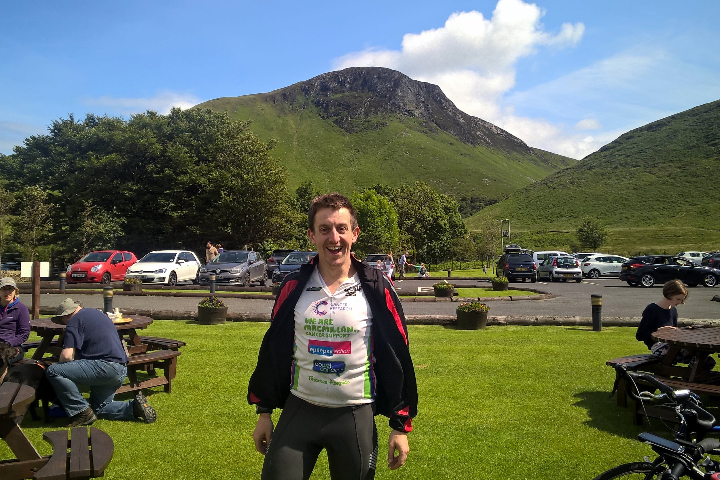
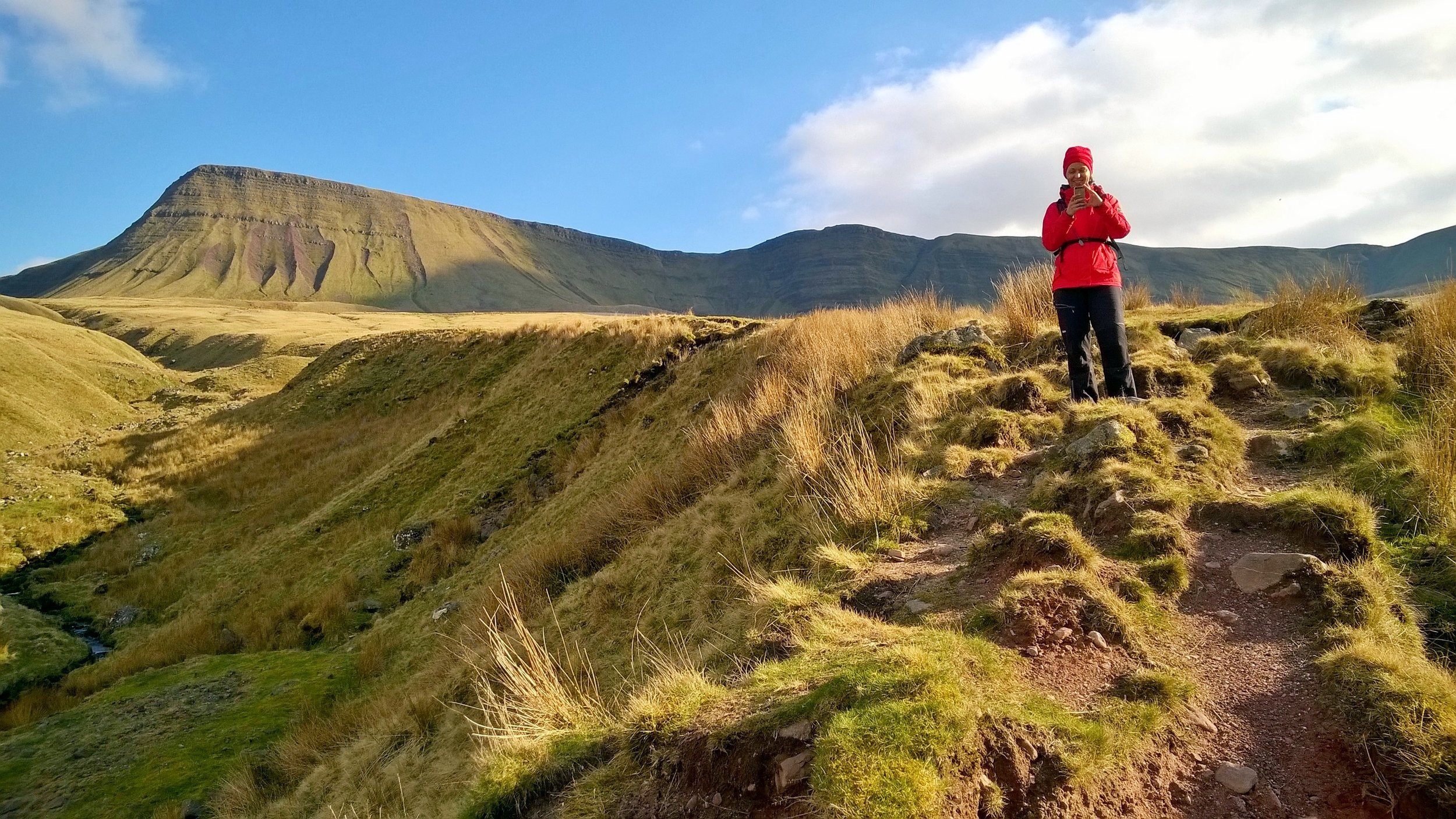
Gorge Walking in Brecon Beacons National Park with Life Changing Activities
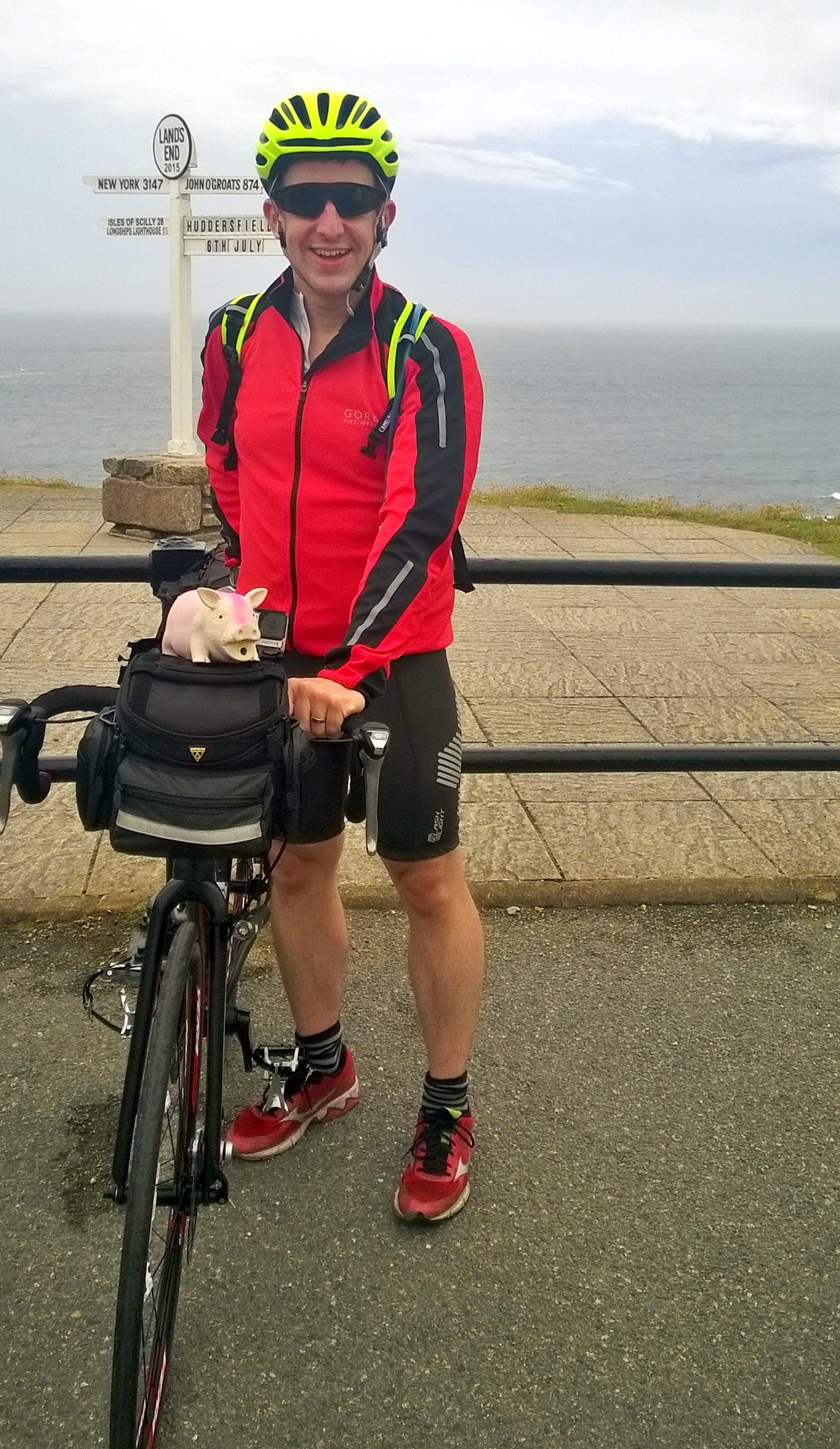
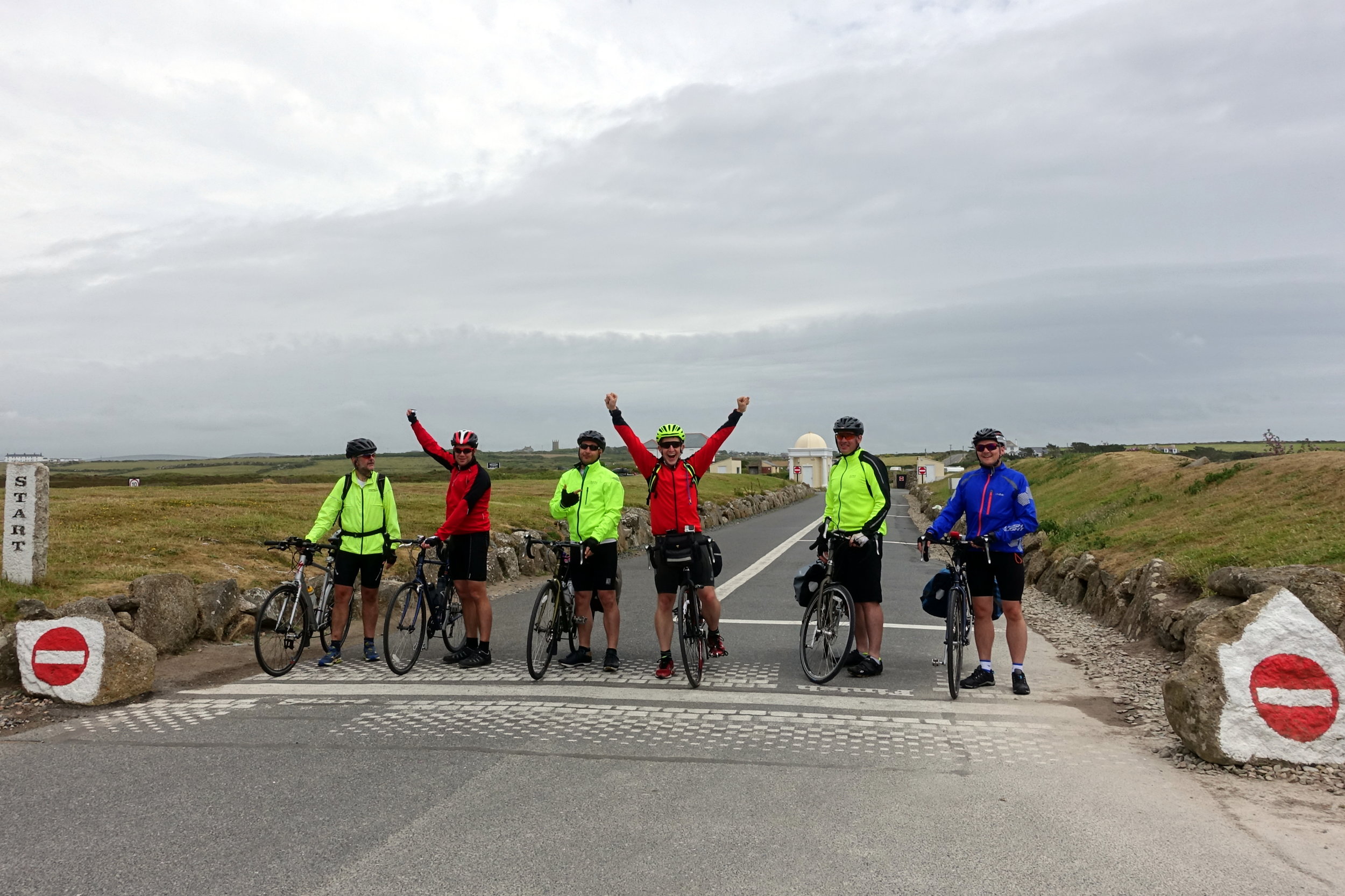
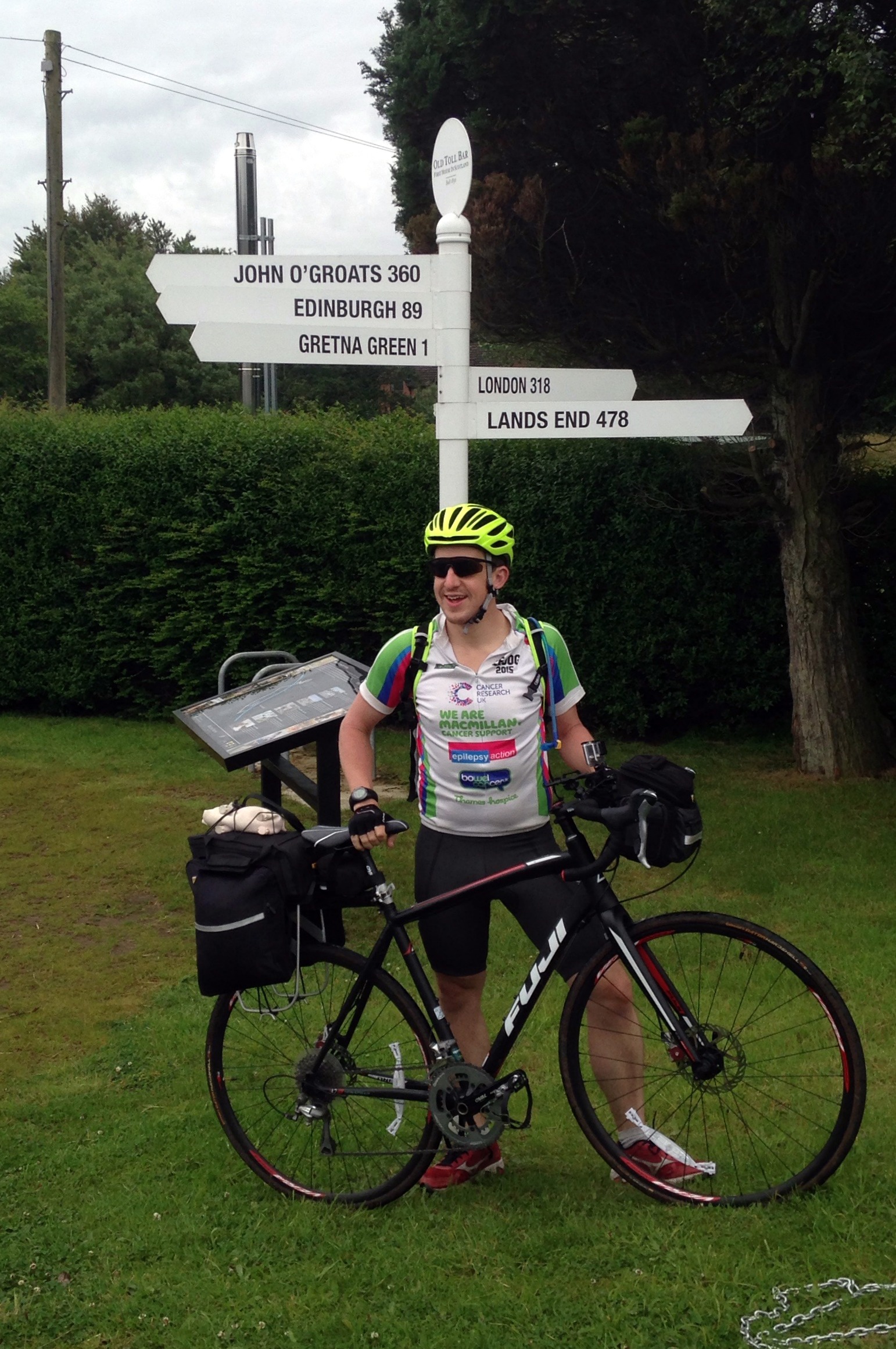
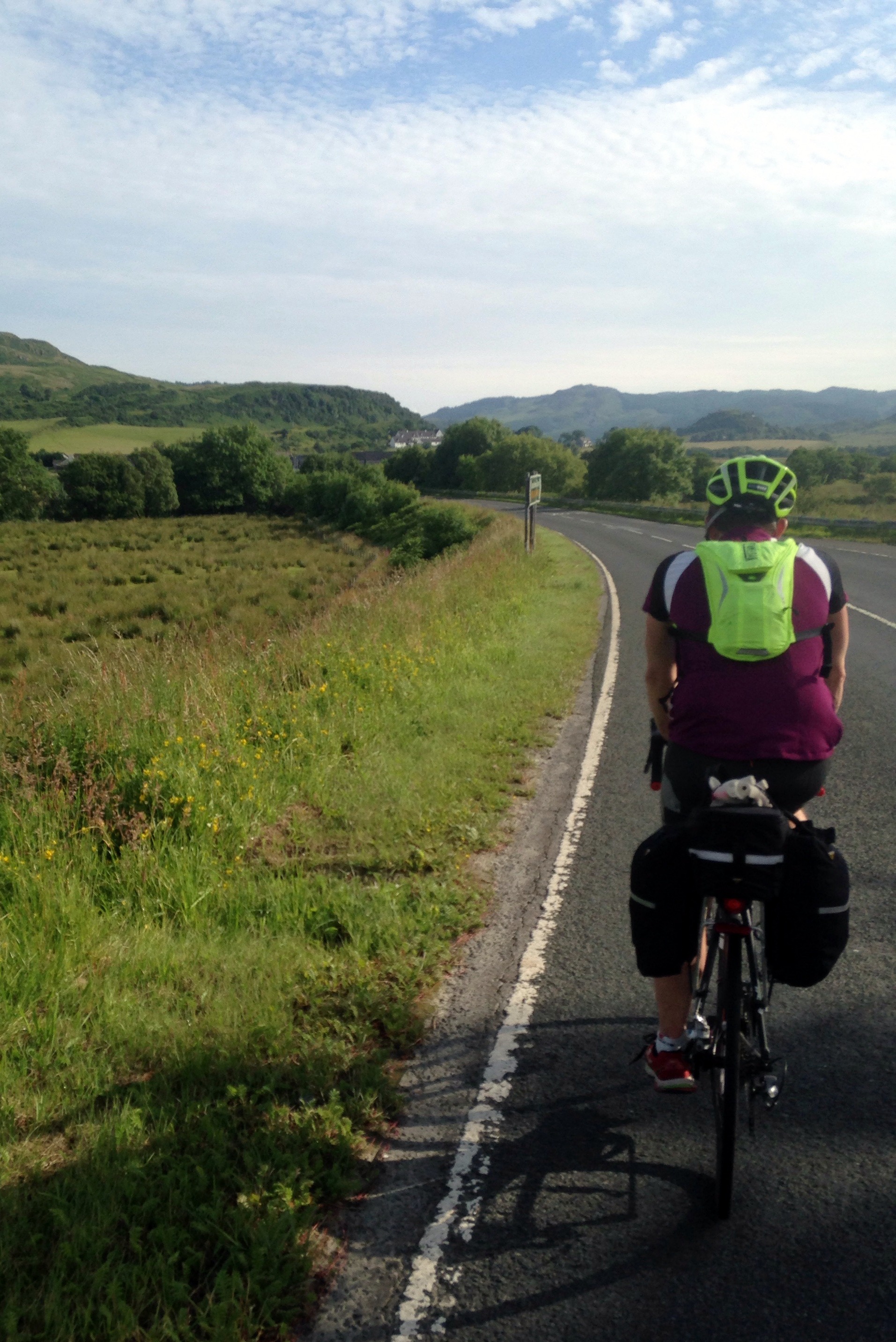
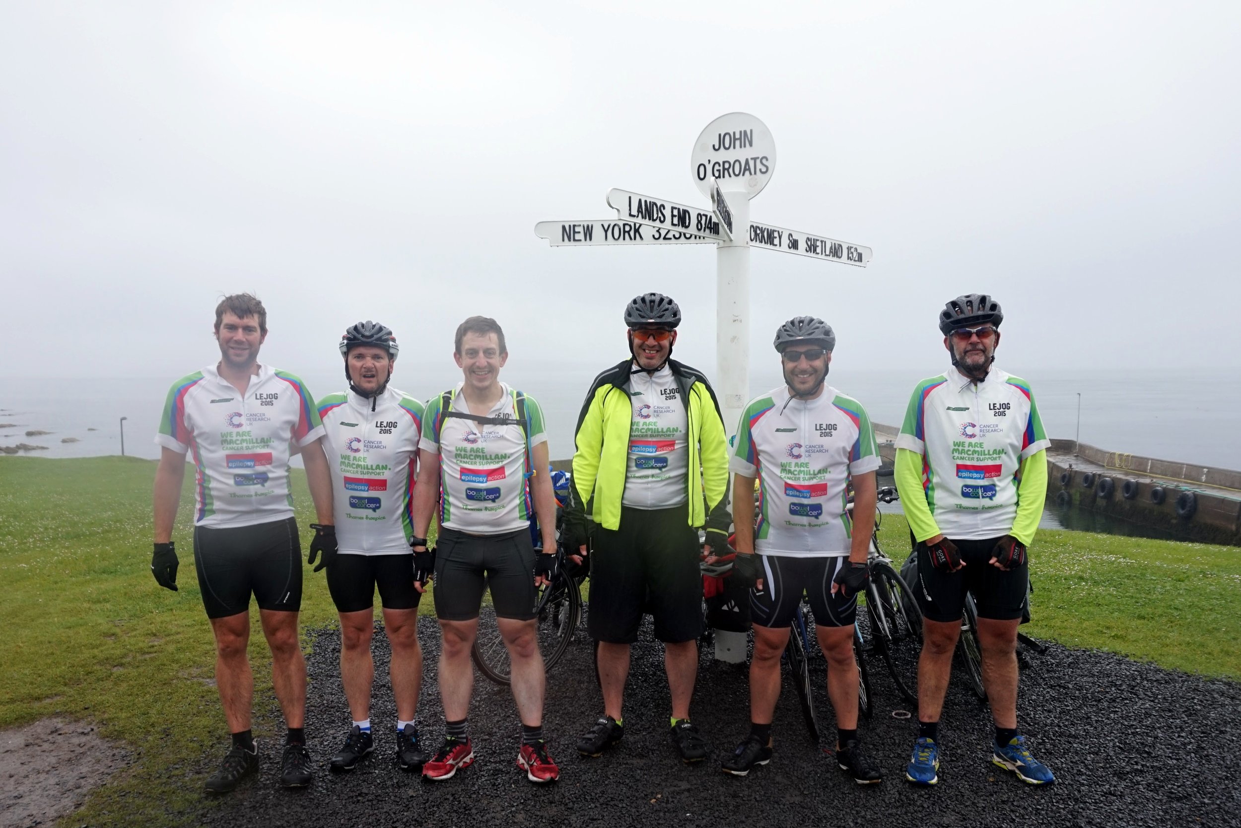
The Land’s End To John O’Groats (LEJOG) cycle trip had been on my back burner for a very long time. It started 21 years ago when I was planning my Queen’s Scout Award. The Award was similar to the Duke Of Edinburgh Award and required a big expedition. I chose to do a cycling trip and needed to find a route greater than the 200 mile minimum requirement. Andrew, my expedition partner, and I briefly considered LEJOG but the distance was way more than required and, at the time, seemed like a bit too much effort. Maidenhead, our hometown, to Lands End at 350 miles was more like it.
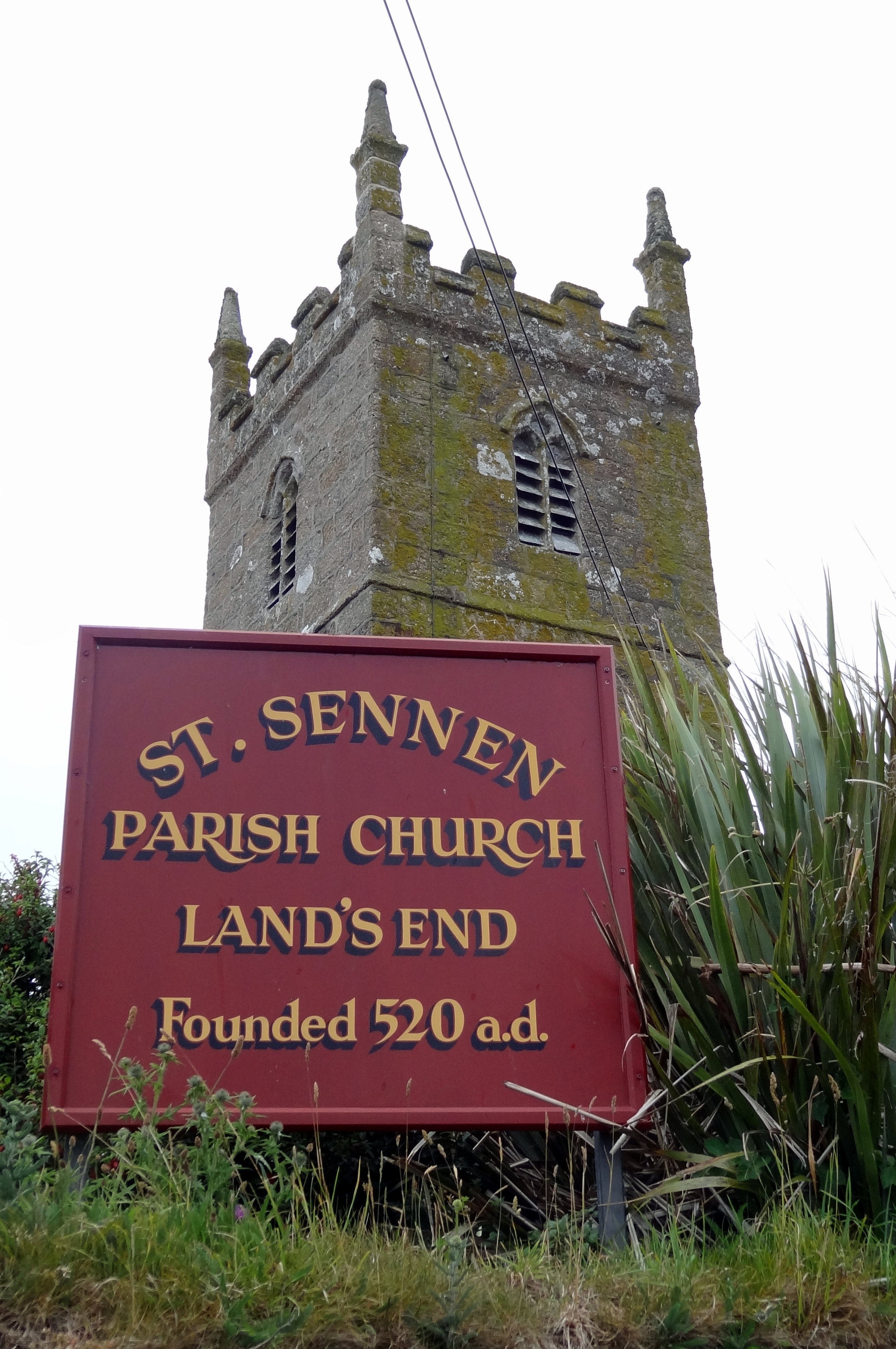
1993: Maidenhead to Land's End
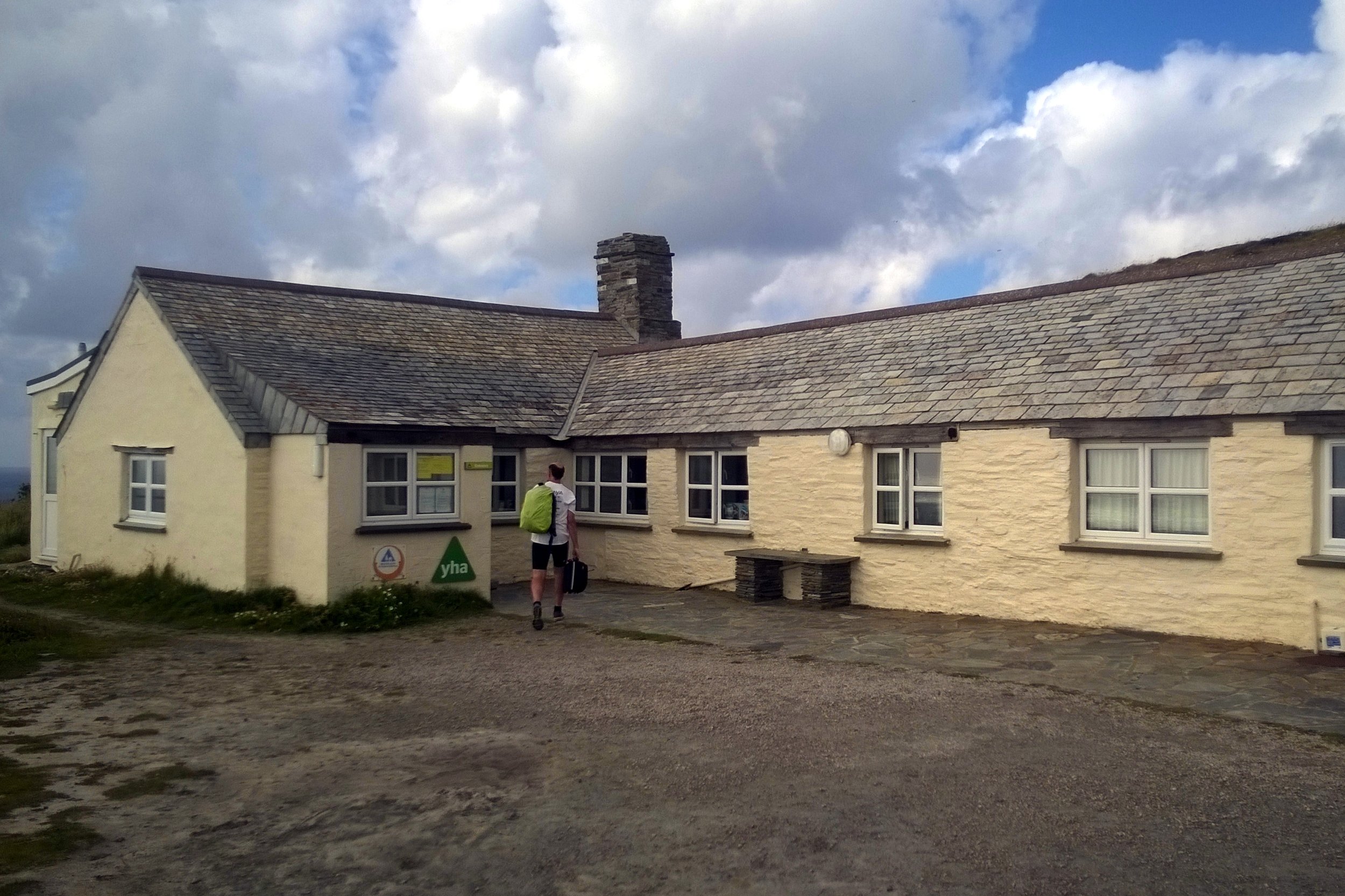
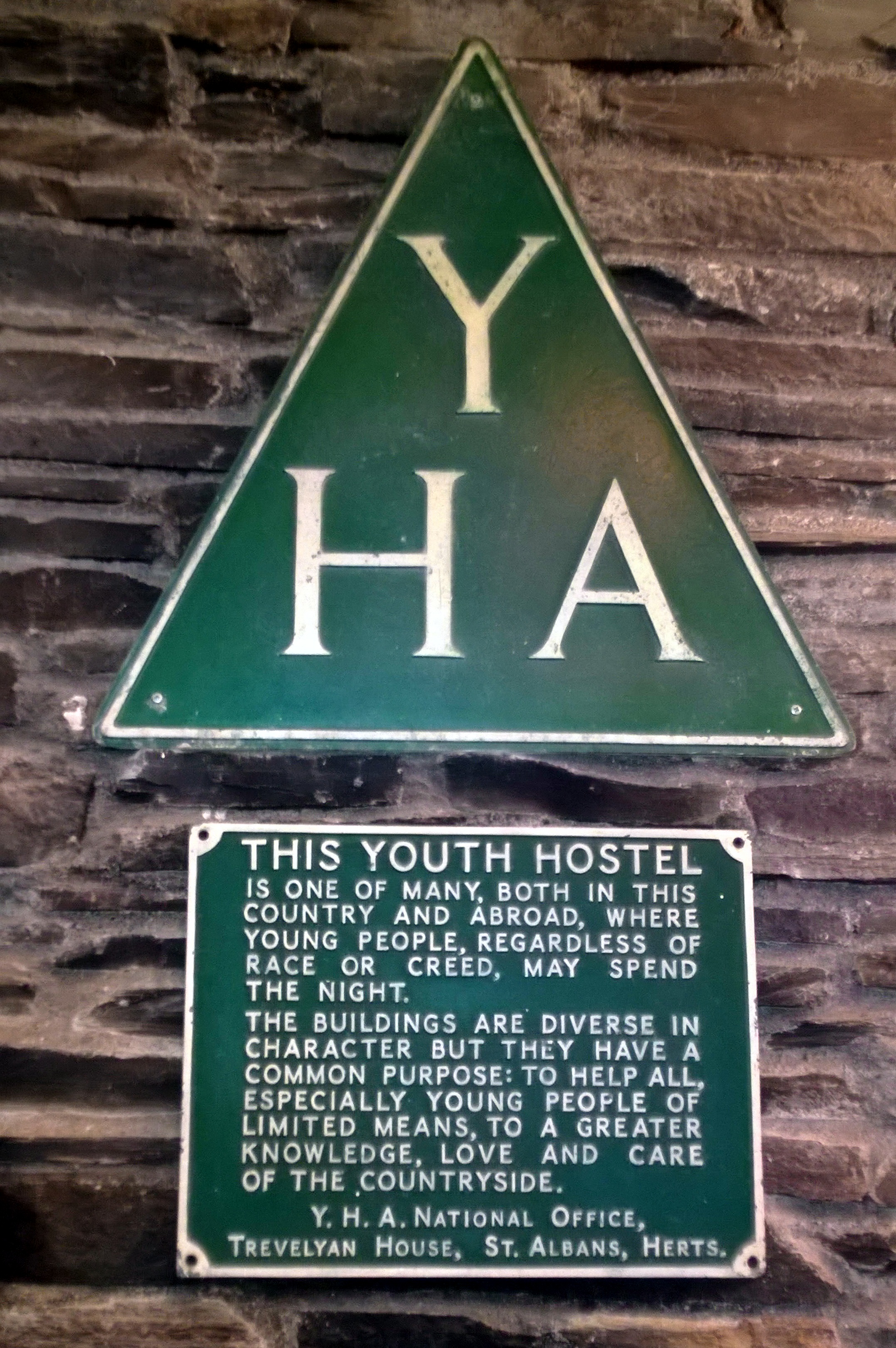
That summer was amazing. The years have probably erased all memories of the tough spots and any bad weather, so all I remember now is endless sunny days and pleasant glides through the South-West countryside. We cycled 60 miles a day, stayed in Youth Hostels and survived on Diet Coke and White Chocolate Magnum ice-creams. The 6 day trip to Land’s End was my first big adventure and it definitely wasn't going to be the last. Ever since then the full Land’s End To John O’Groats trip was something I had to do ... just not right now.
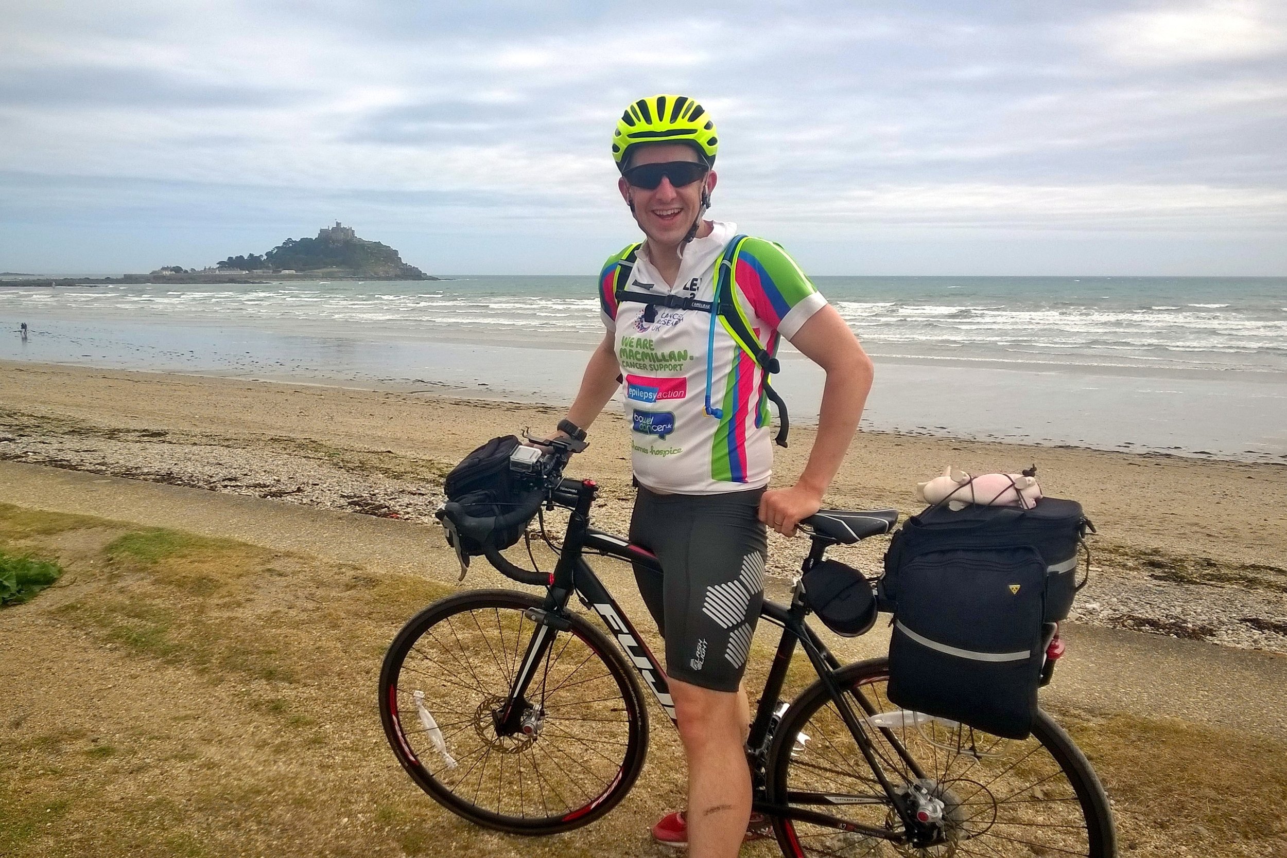
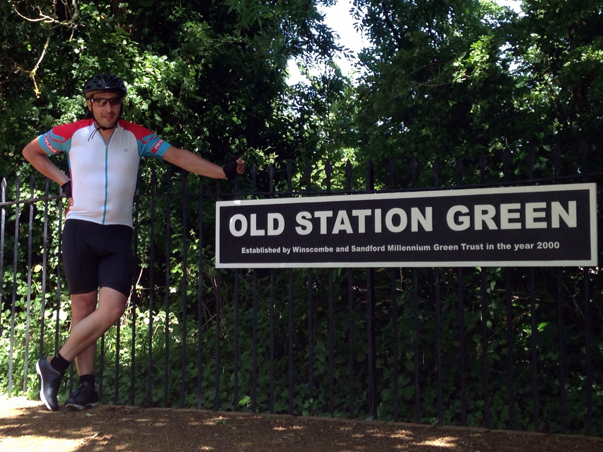
Right after that trip I started working for Mars and the next few years was all about work and socialising. 4 years living abroad was a whole different adventure in itself and the LEJOG idea sunk into the very back of my mind. It was only in my mid-30s that I started to get back into the outdoors in a big way. After the Kilimanjaro trek in 2013 I started planning my next big trip and the LEJOG idea started to bubble up again. Two more things then happened to bring it right to the front. The first was turning 40 and thoughts around finishing off things that I wanted to do. The second was planning the Growlerthon, my fundraising year in memory of my dad who was diagnosed with lung cancer shortly after Kili. Back burner no more .... I had to do LEJOG.
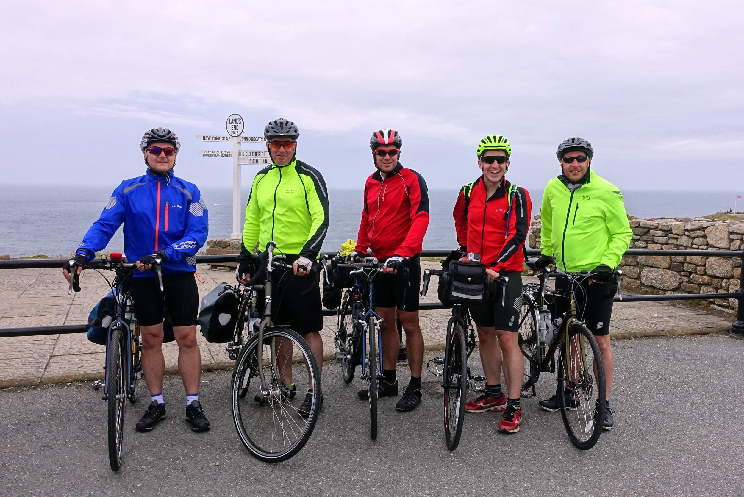
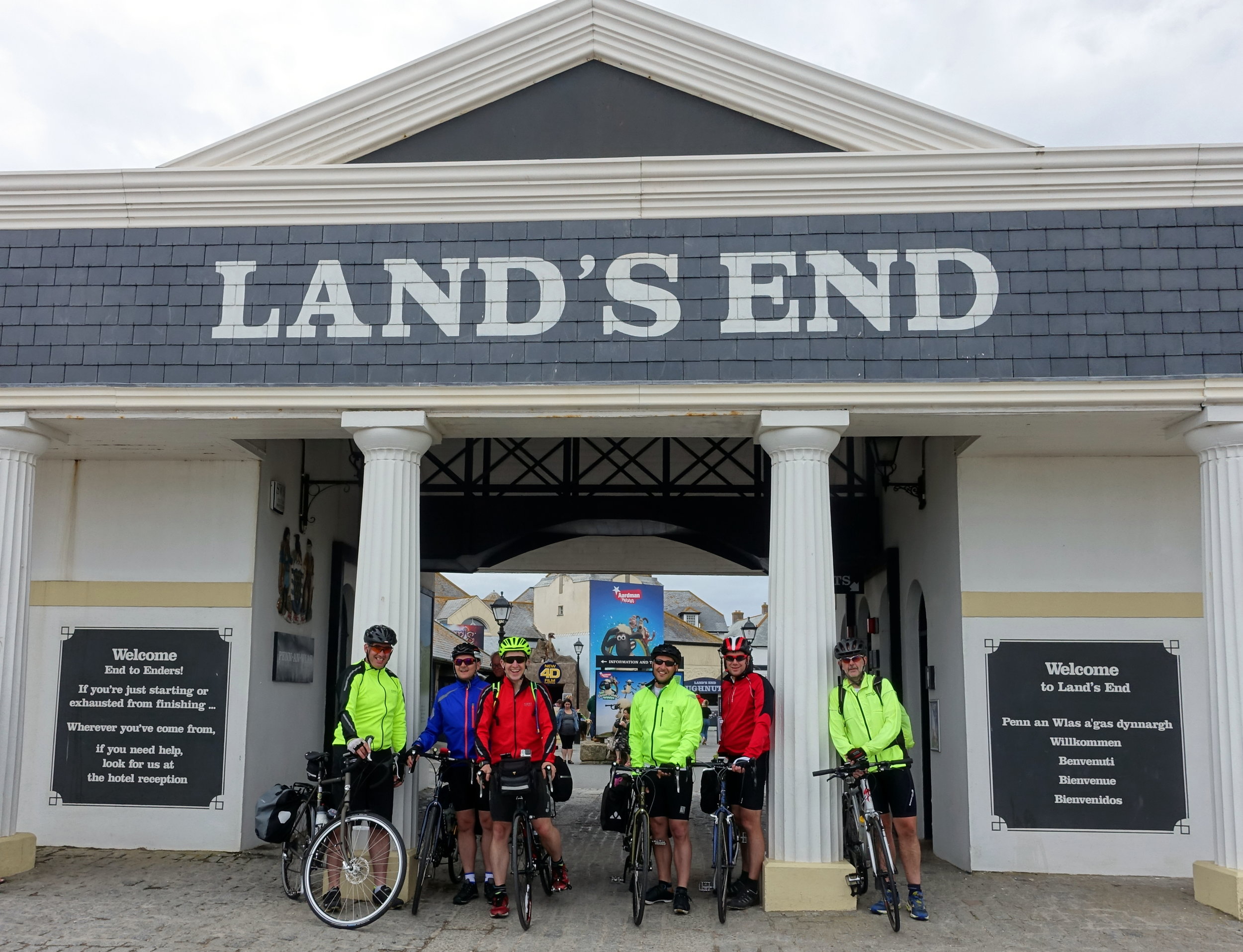
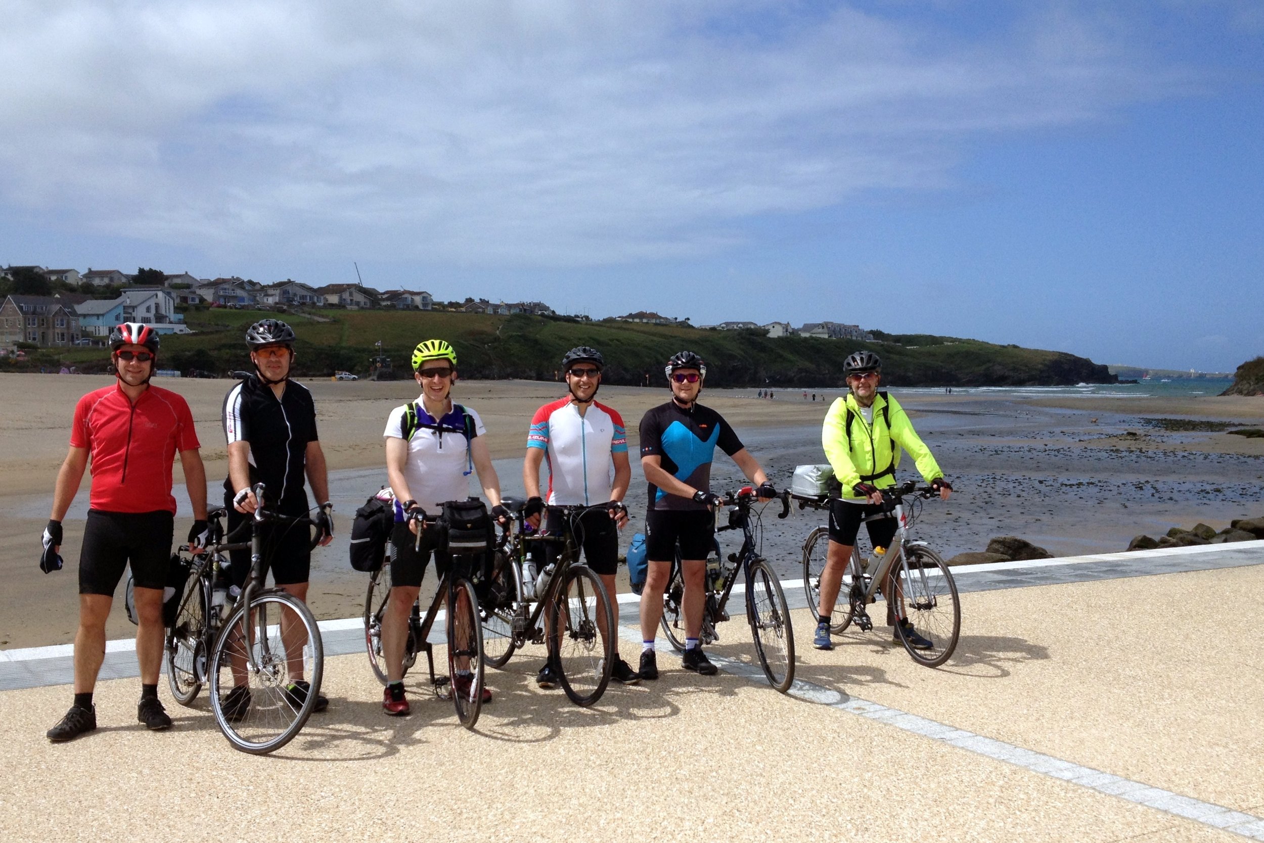
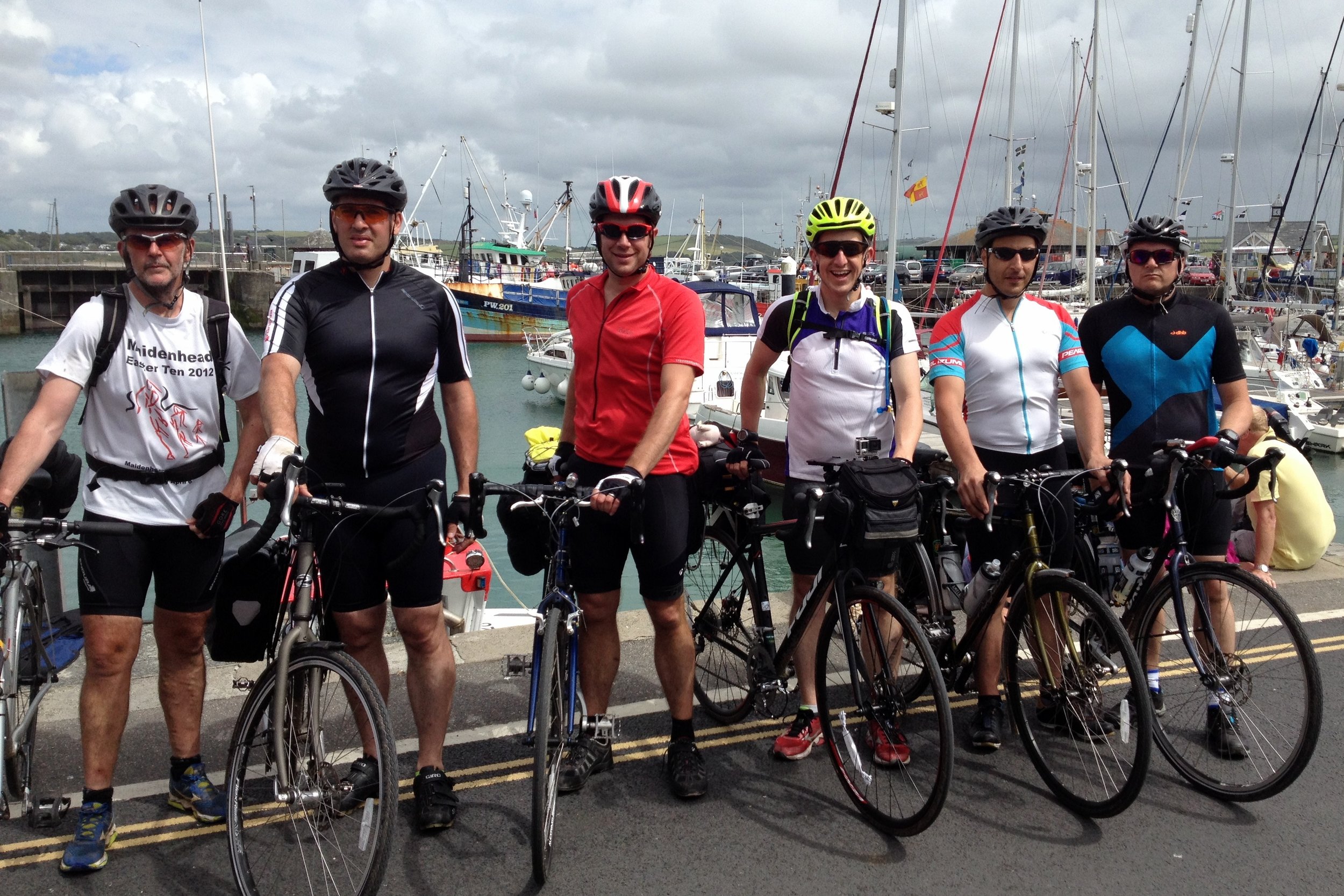
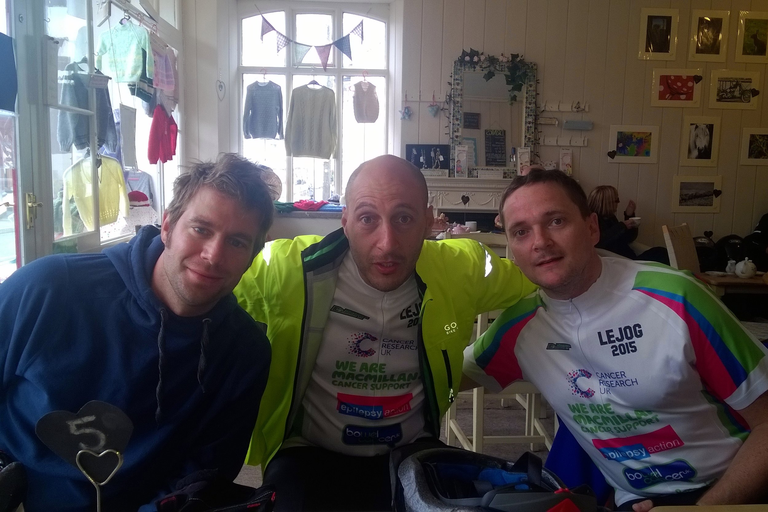
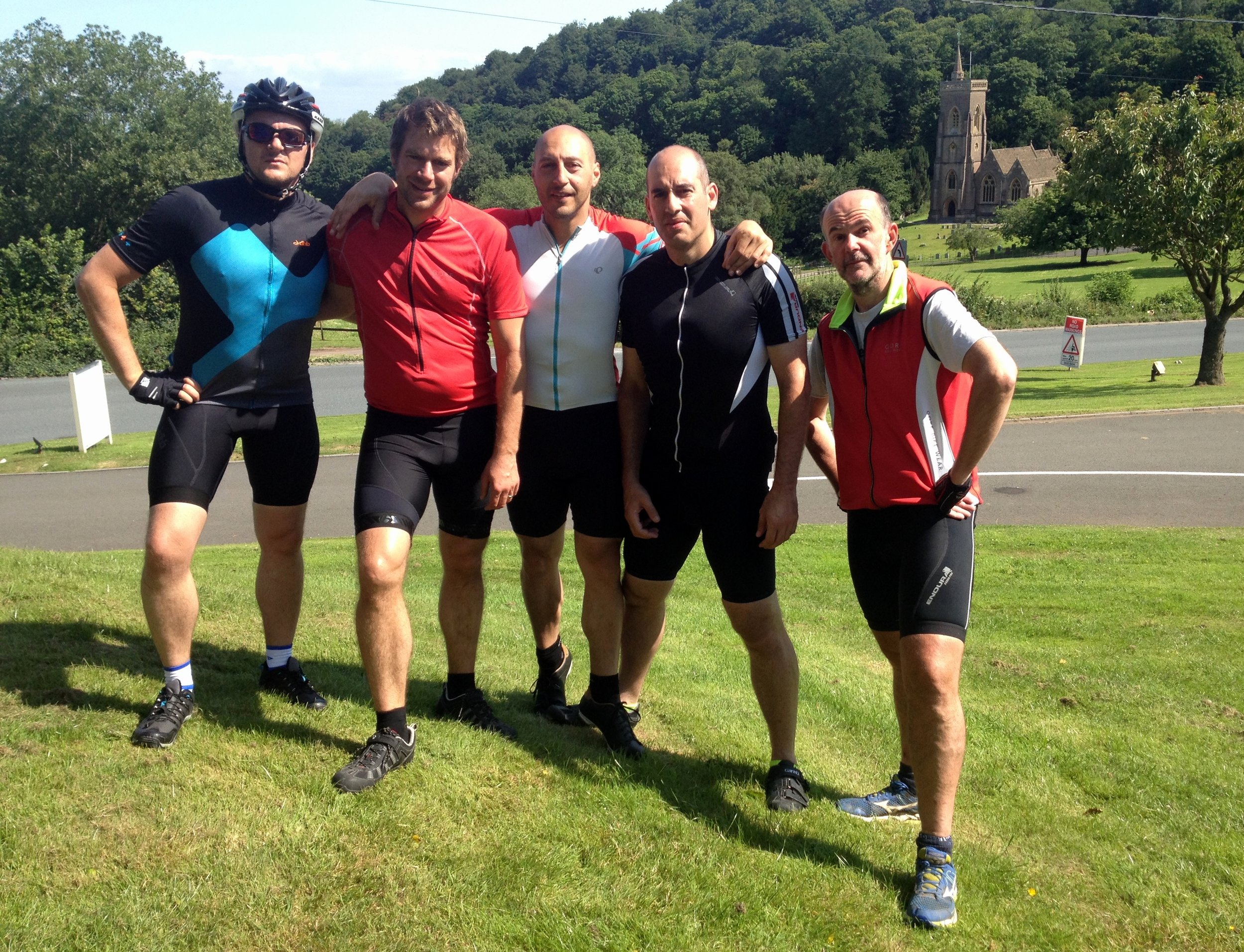
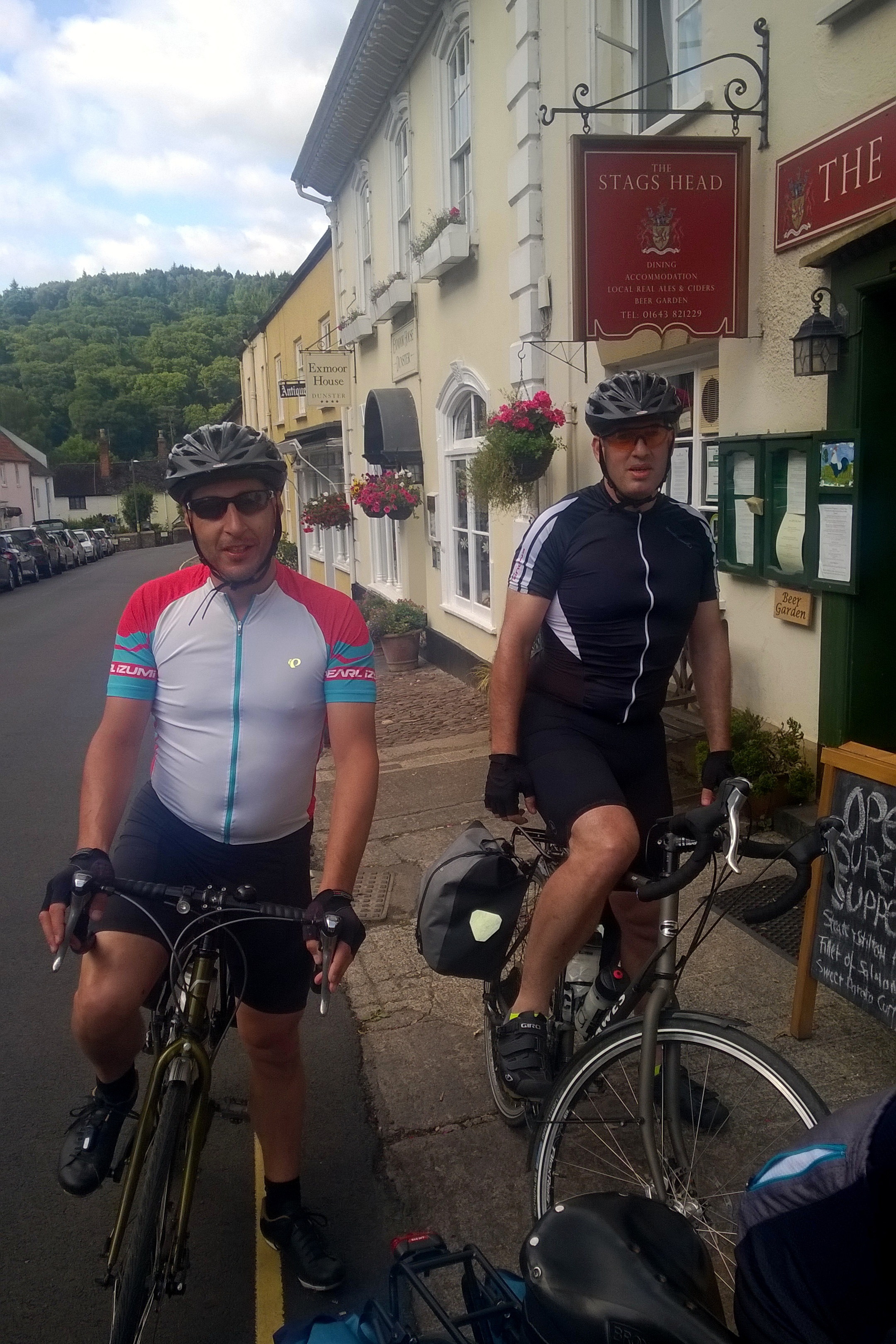
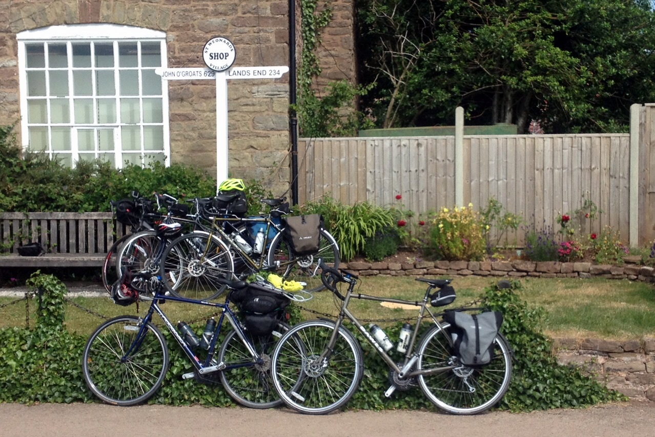
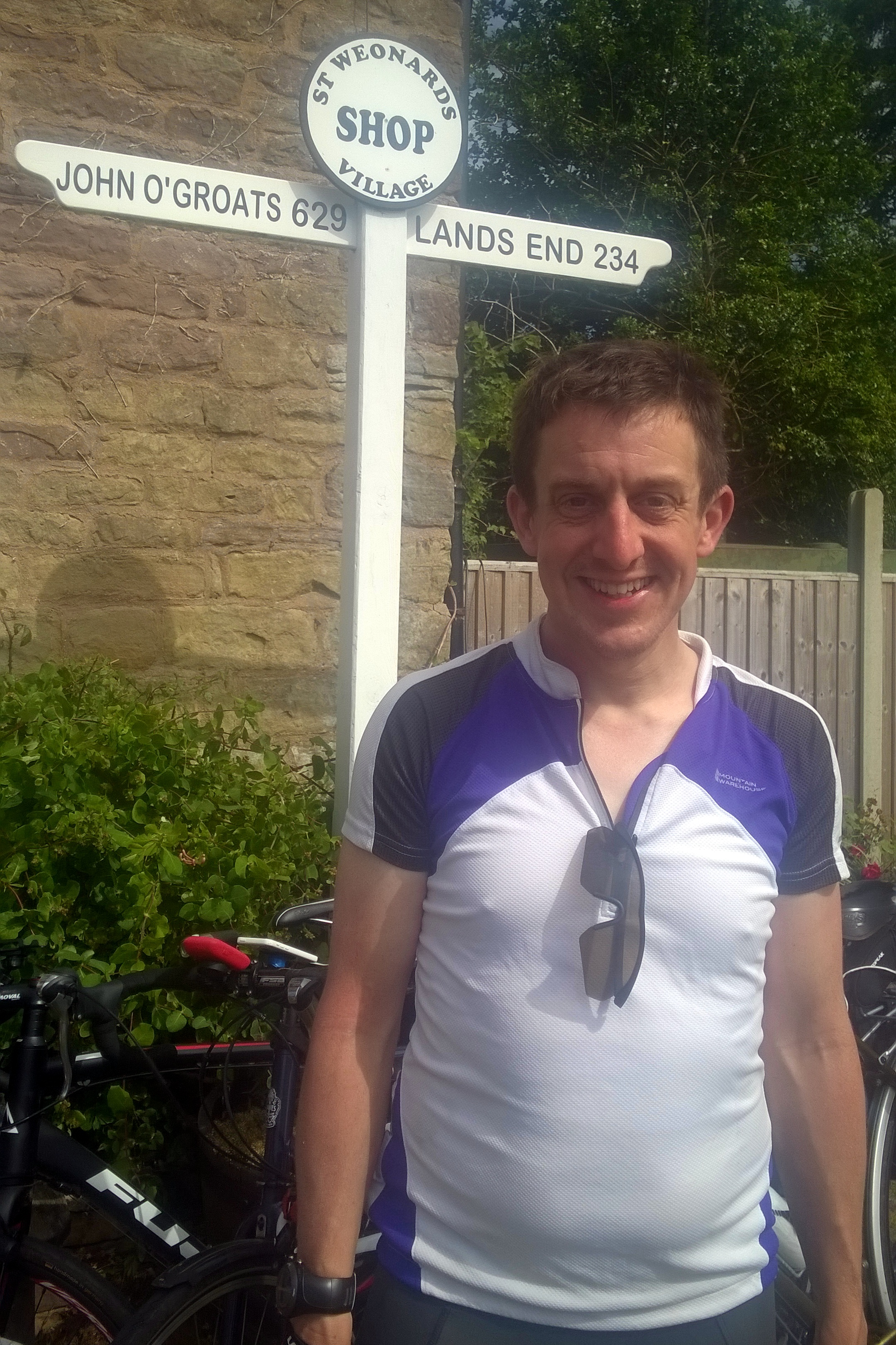
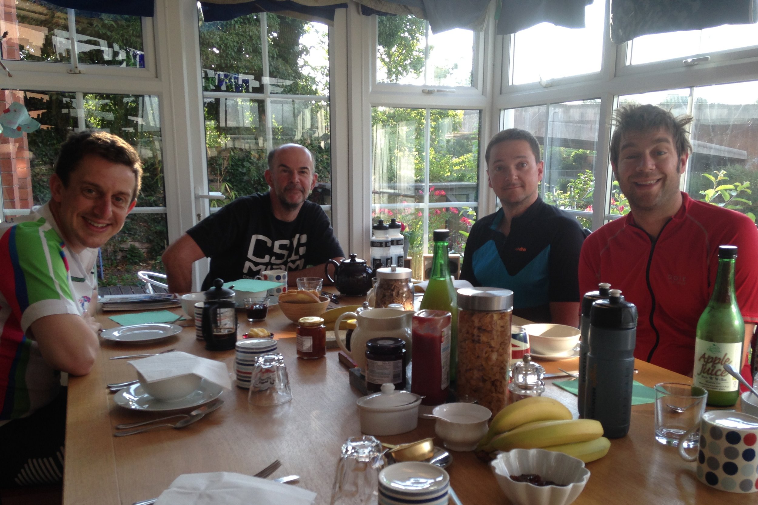
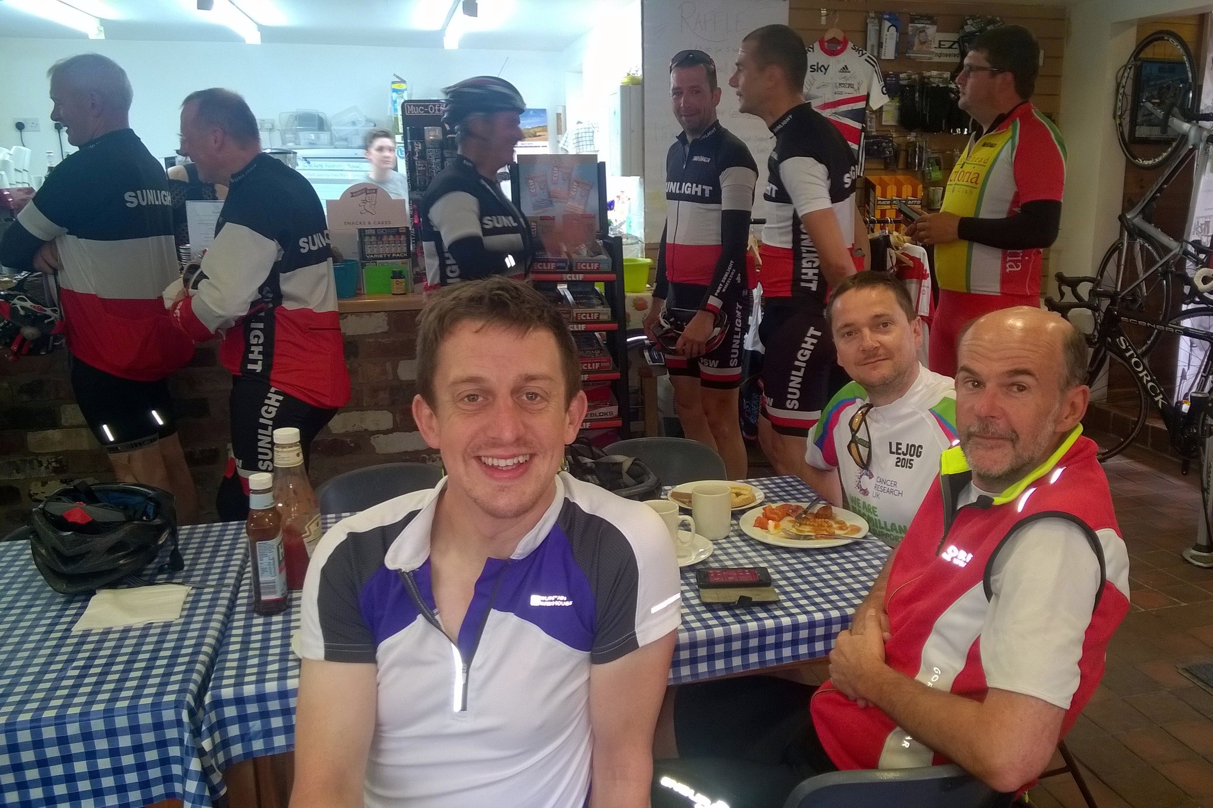
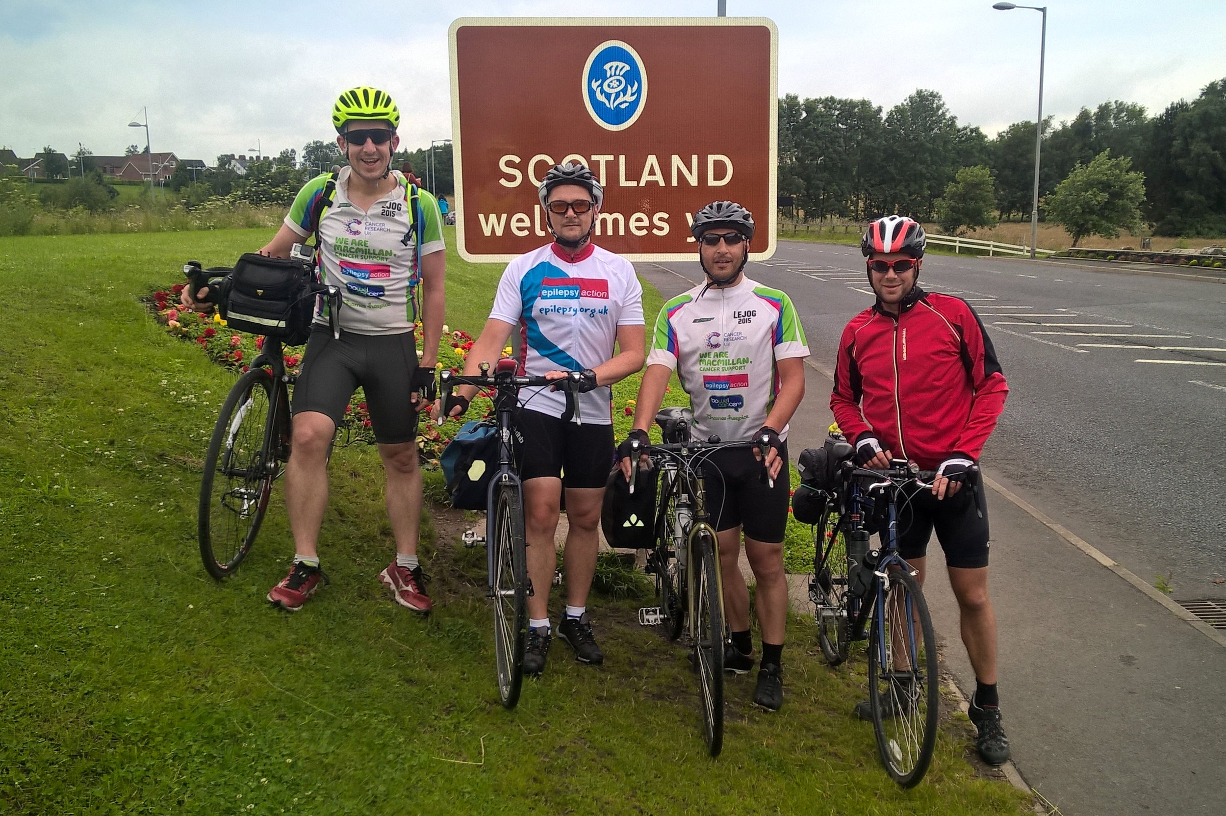
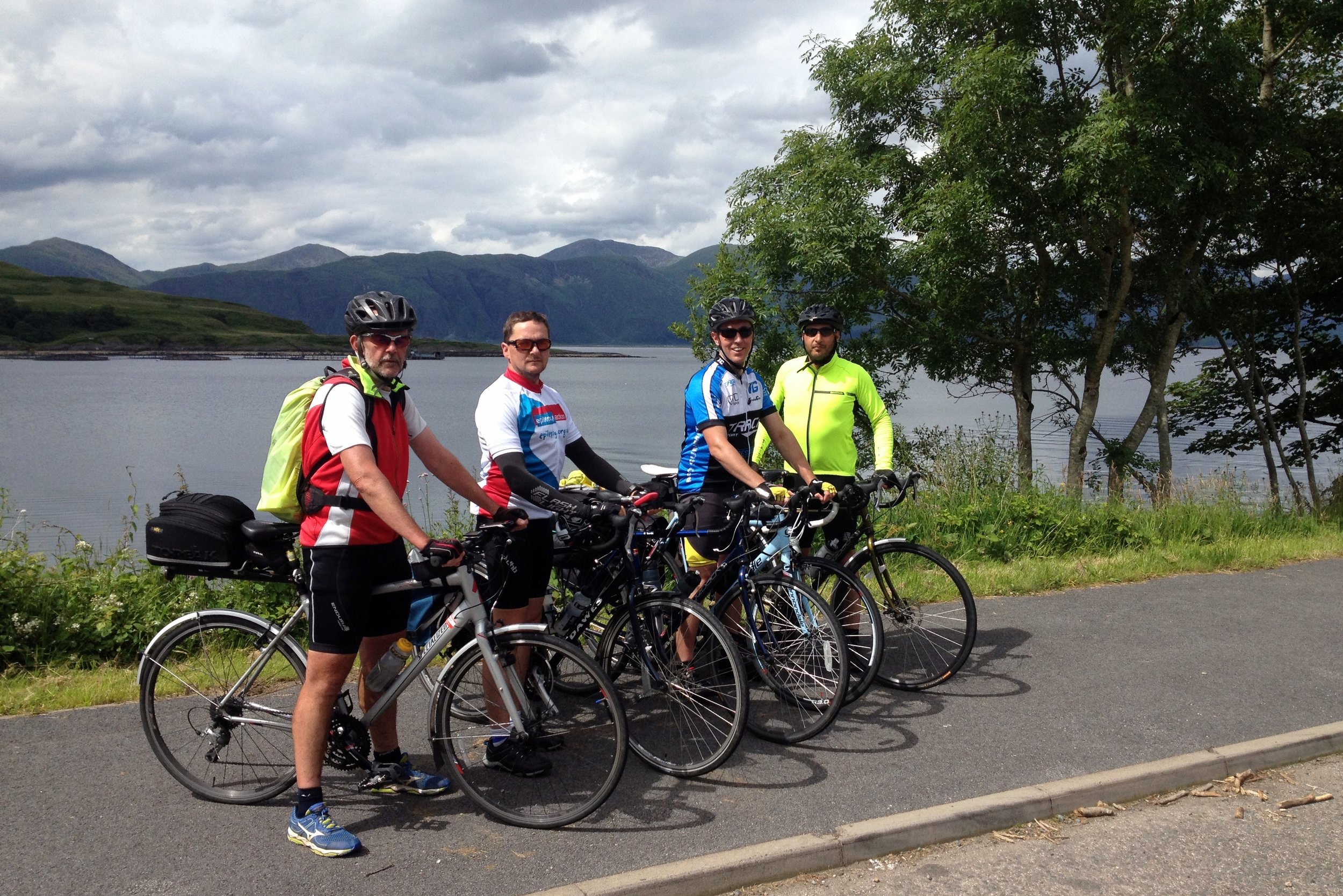
Putting the team together was relatively easy. Slobby did the trip 2 years before and was up for doing it again. Brian, my Kili buddy, was also an easy “yes”. Brian recruited the rest of the team: Martyn and Ray, both from our office and both with different personal charity and fitness goals, and Reggie, Brian's brother. By early January we had the team together and the next few months was all about training and route planning.
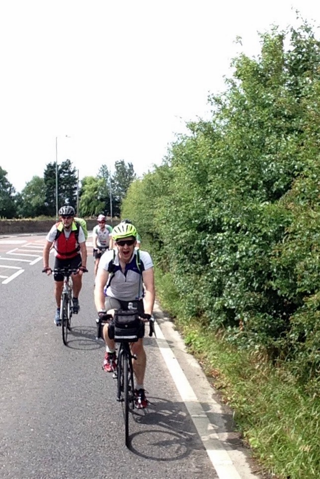
We had all heard of different routes, from the 41 hours record to a very sedate month-long LEJOG pub crawl. 2 weeks seemed the most obvious duration as it was about as much time as we could get off work and the 75 mile average day was very manageable. This plan meant we could stay off the busy A roads as much as possible and get as much scenery in as possible. By the time we all met up in Penzance the evening before the start, we had reached a peak of excitement. We had done all we could to prepare, train and fundraise. Now all we had to do was cycle.
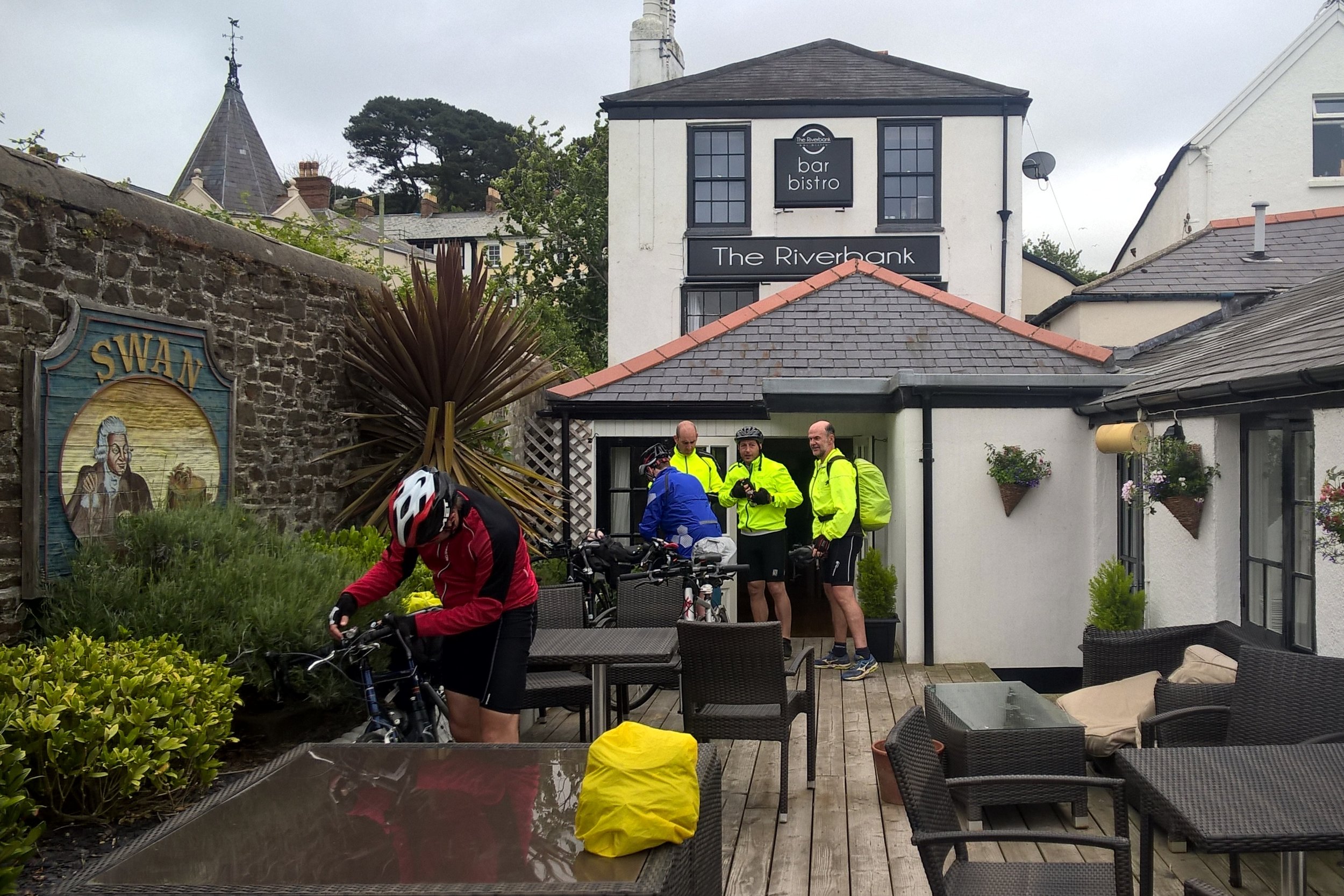
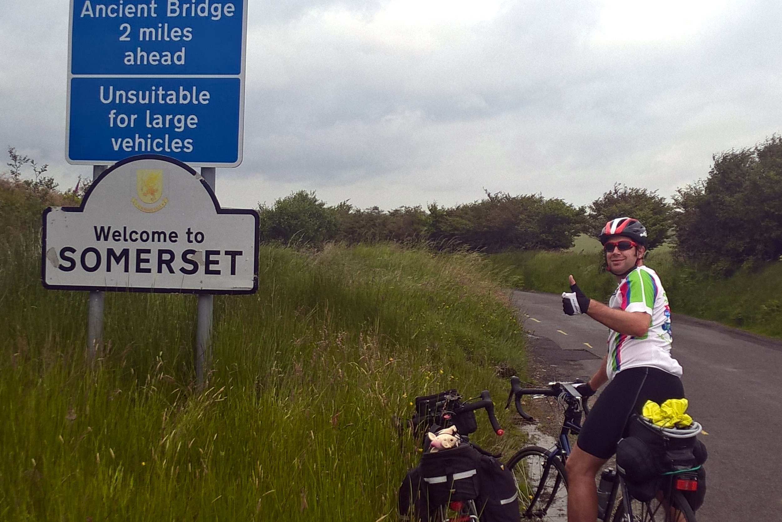
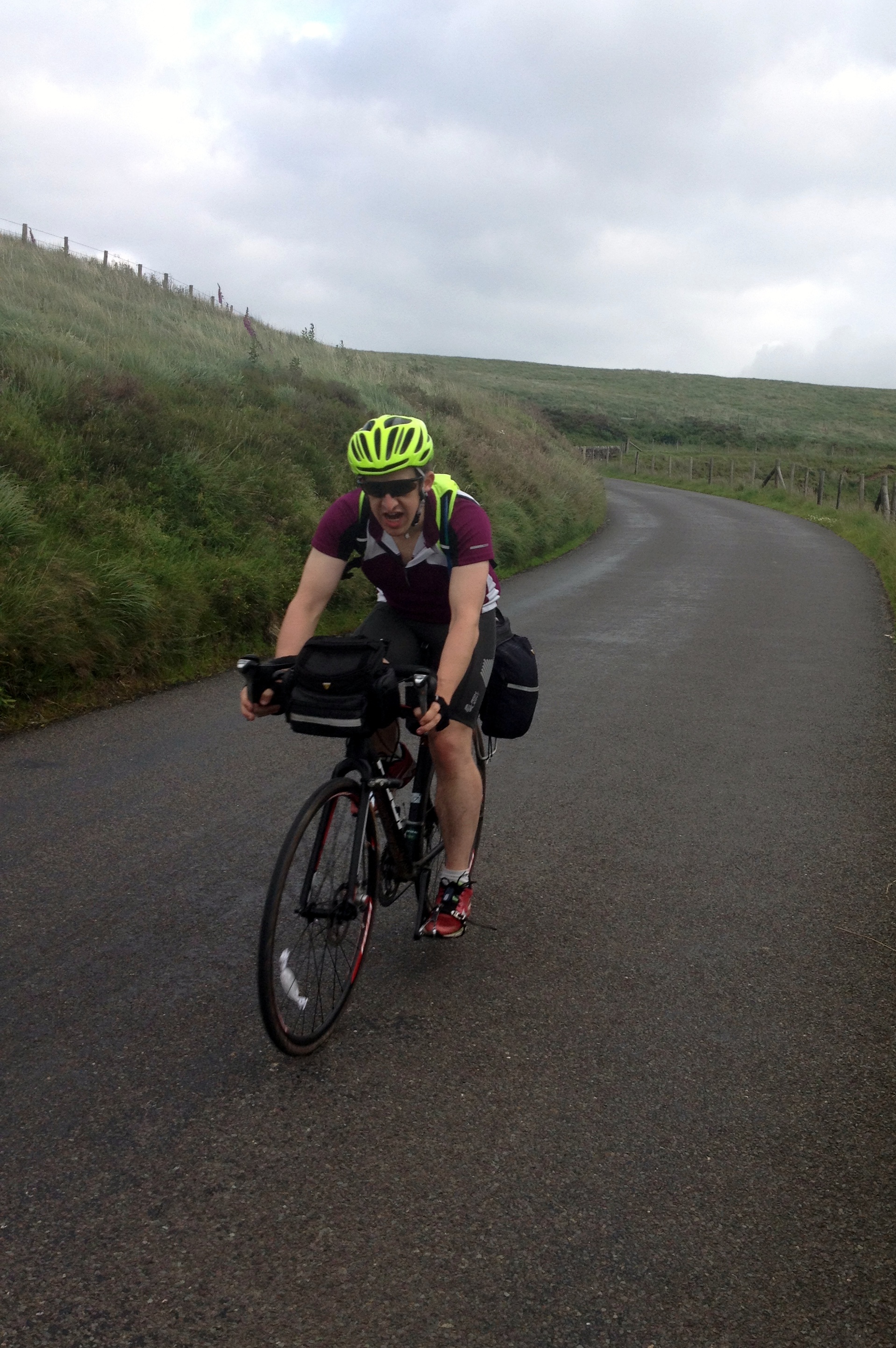
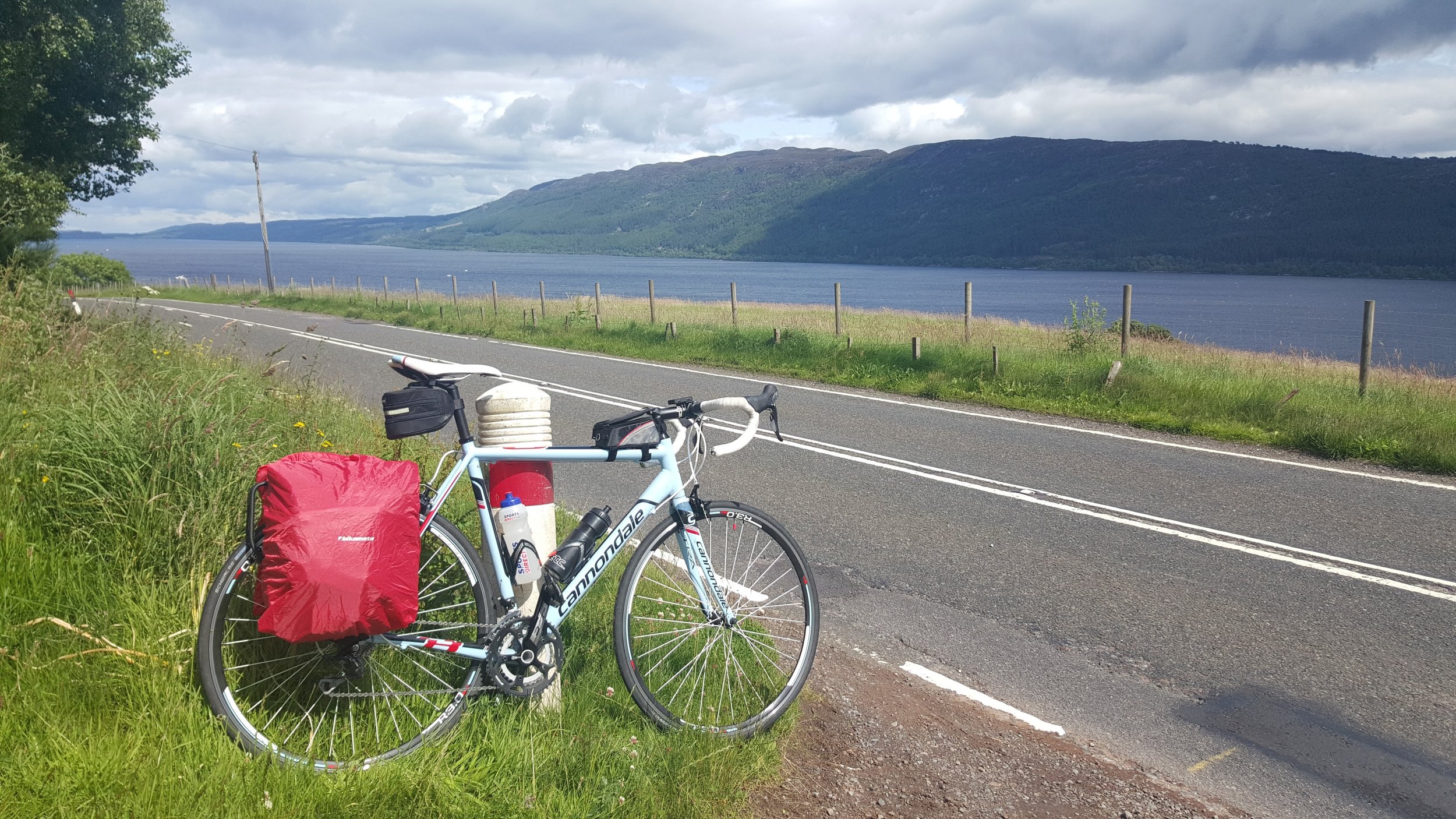
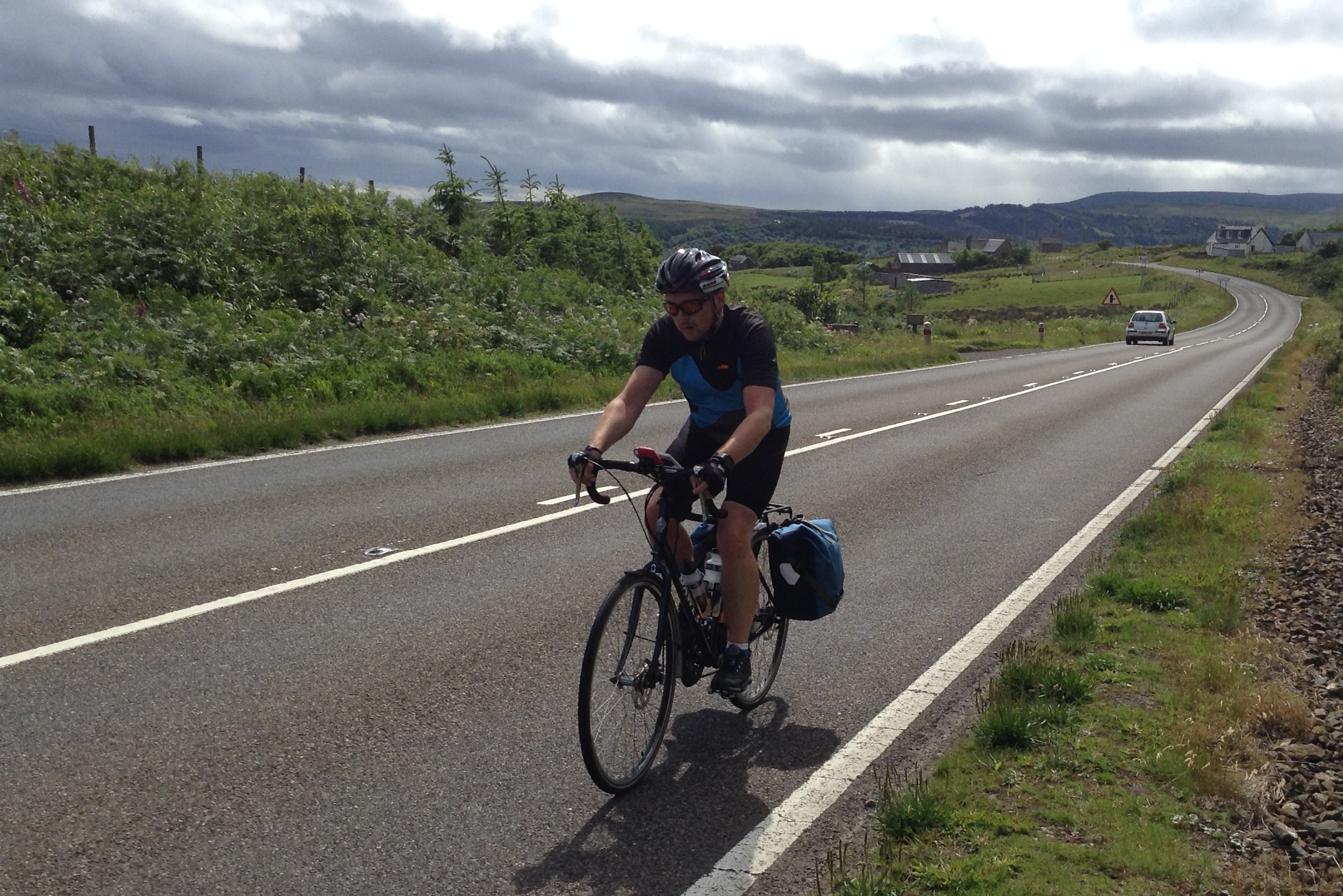
We took Day 1 easy, just 35 miles to Falmouth. A little hilly, but nothing to complain about and a good dose of coastal route scenery. It was the next 2 days, Falmouth to Exford, that were the real test. Most people assume that Scotland is the toughest section for hills, but its actually Devon and Cornwall. This is part of the reason to start at Lands-End so that you can knock off the coastal hills while your legs are fresh. This would have been fine, except that I was still getting used to my new road-bike and I still wasn’t used to the gears. There were several points on the first few days when I thought I’d broken my bike by changing to the wrong gear at the wrong time up a hill.
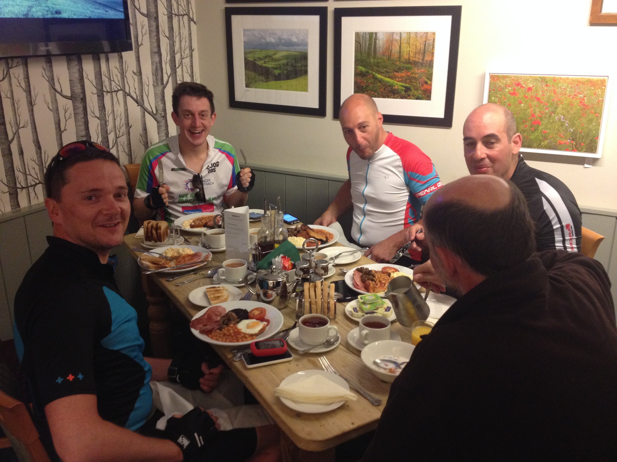
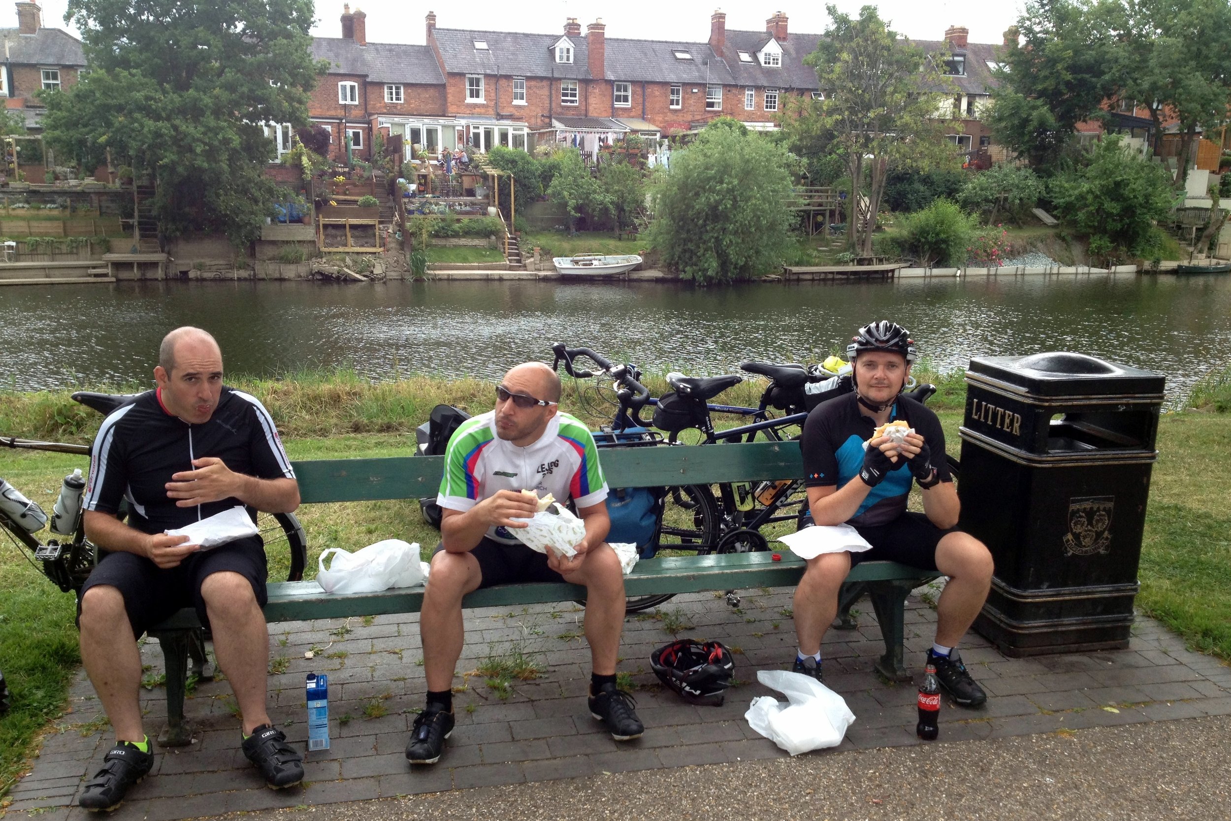
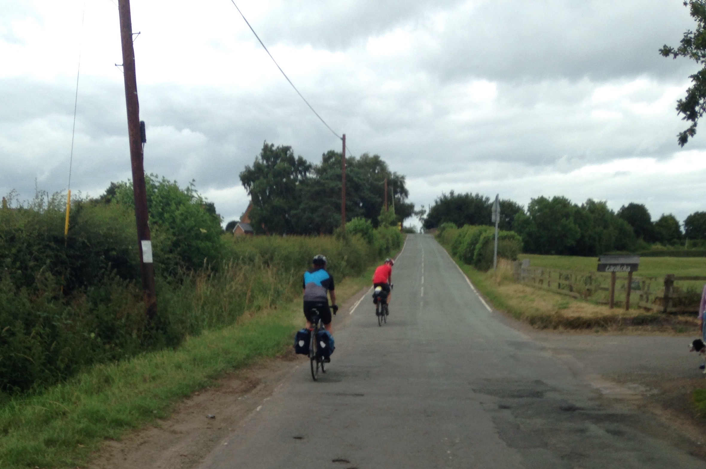
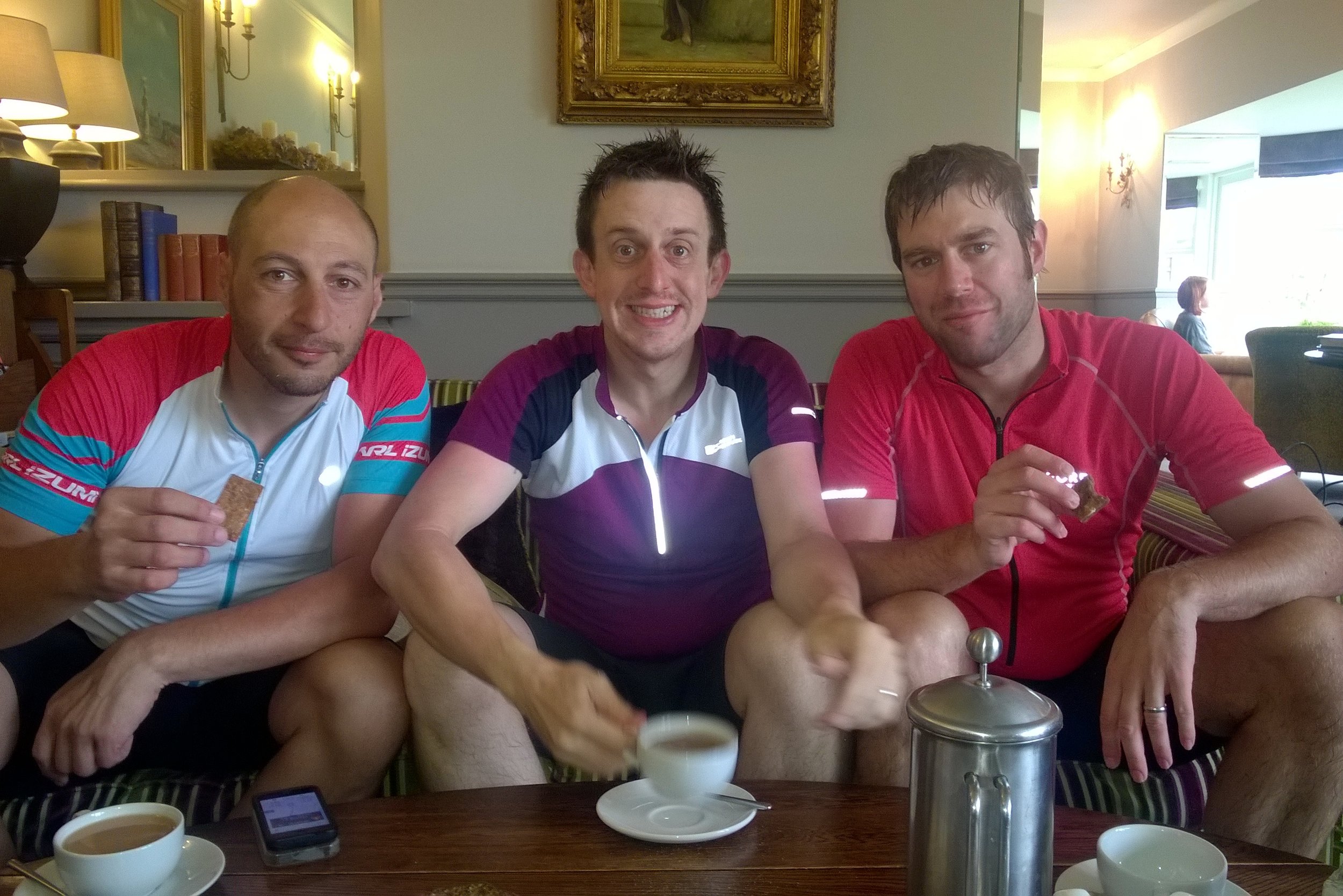
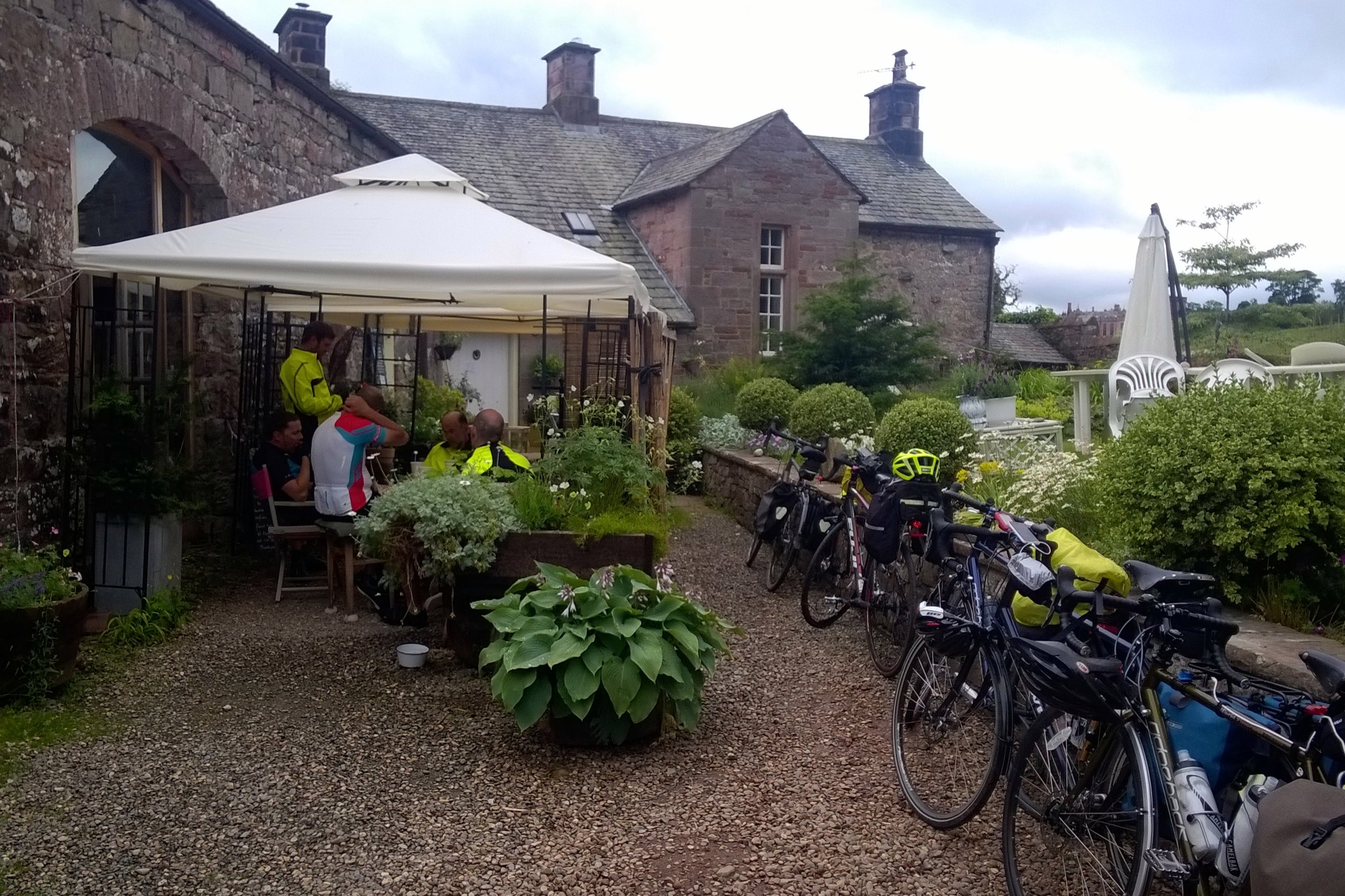
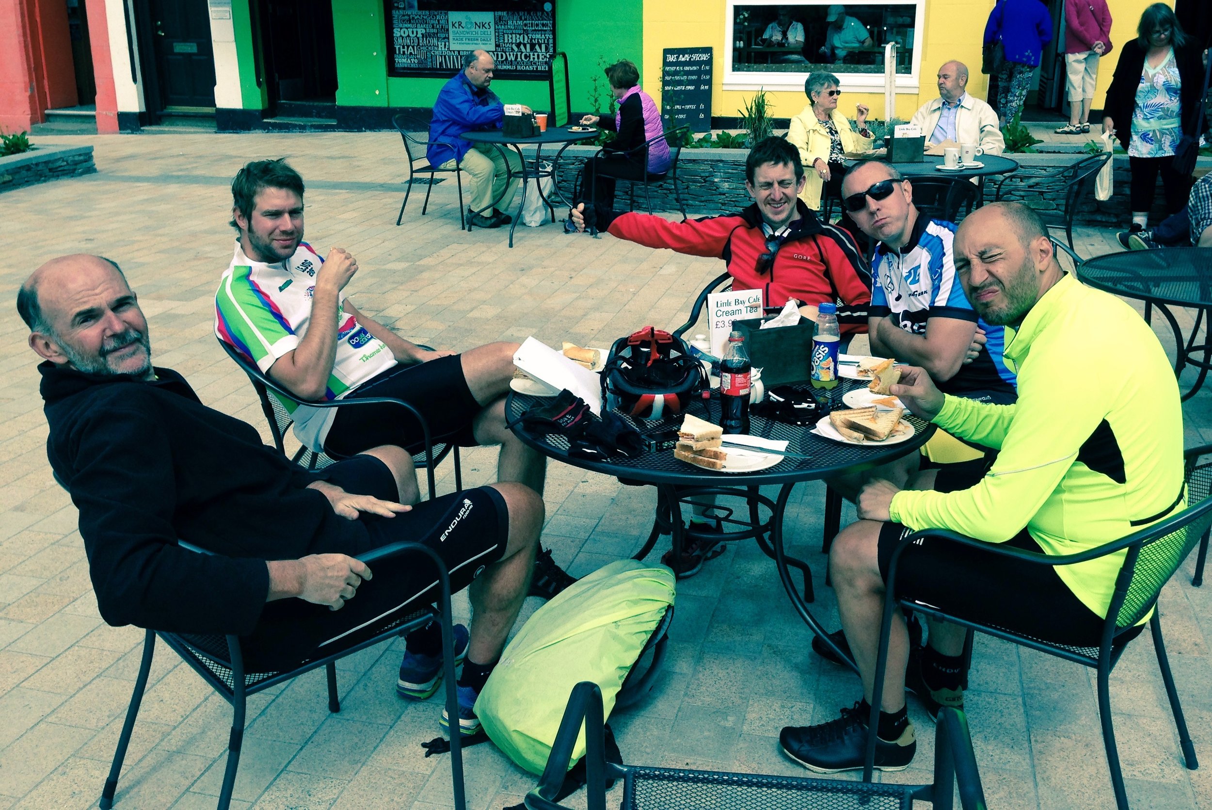
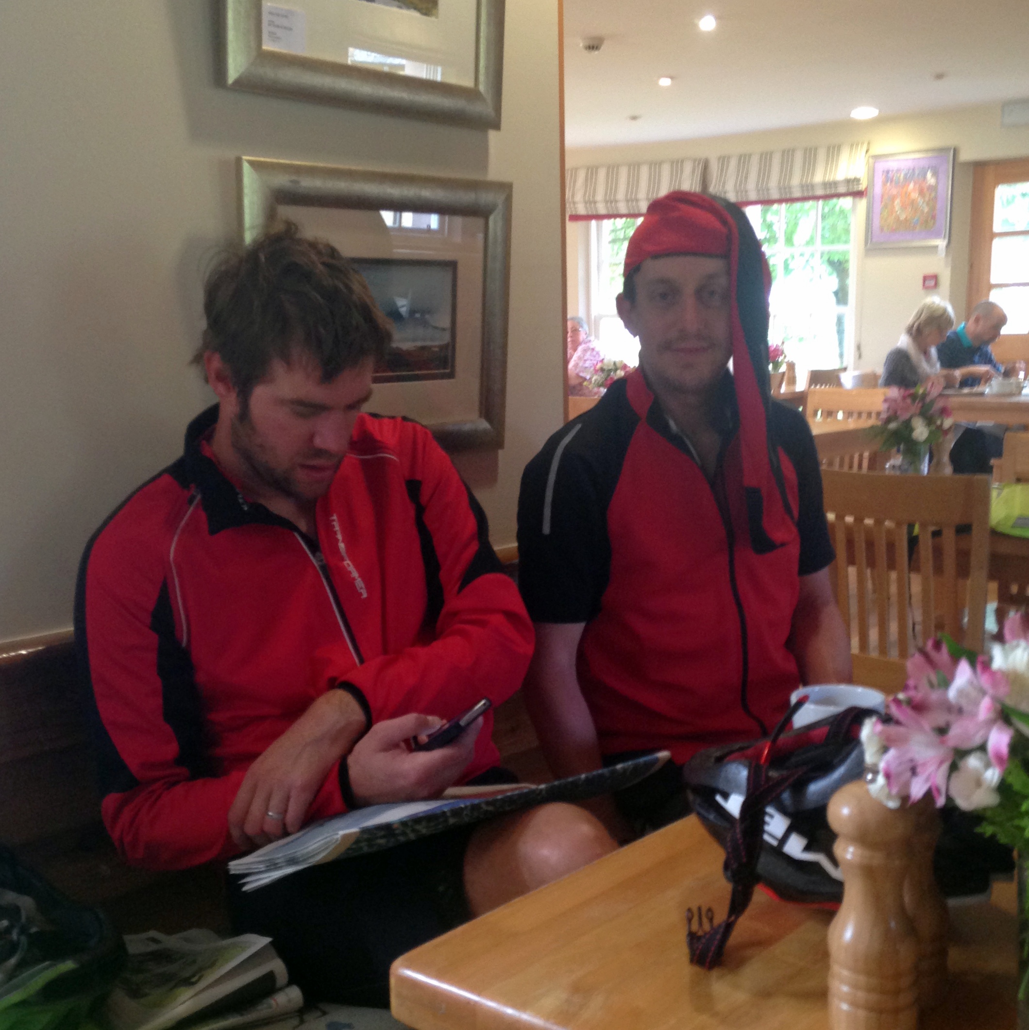
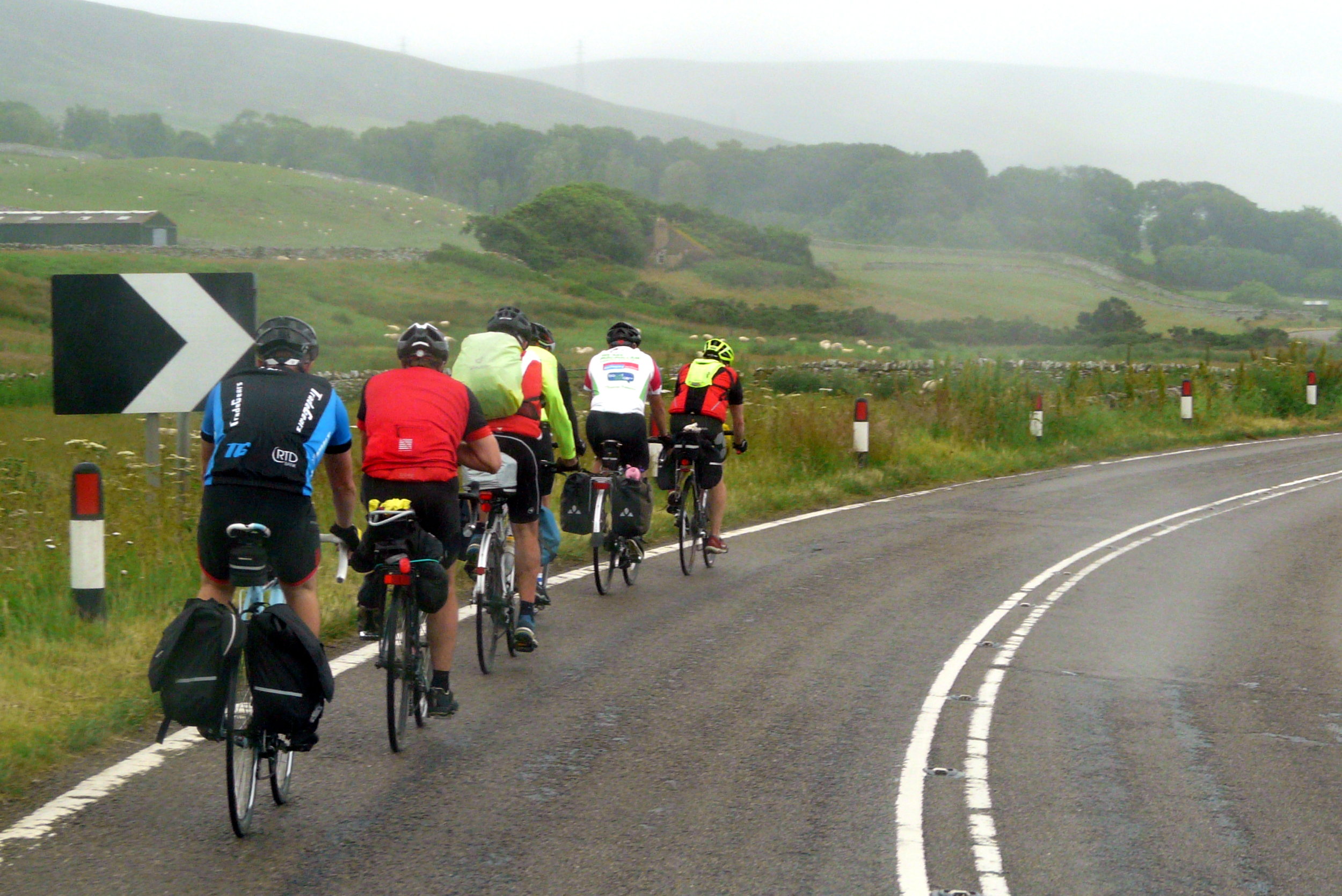
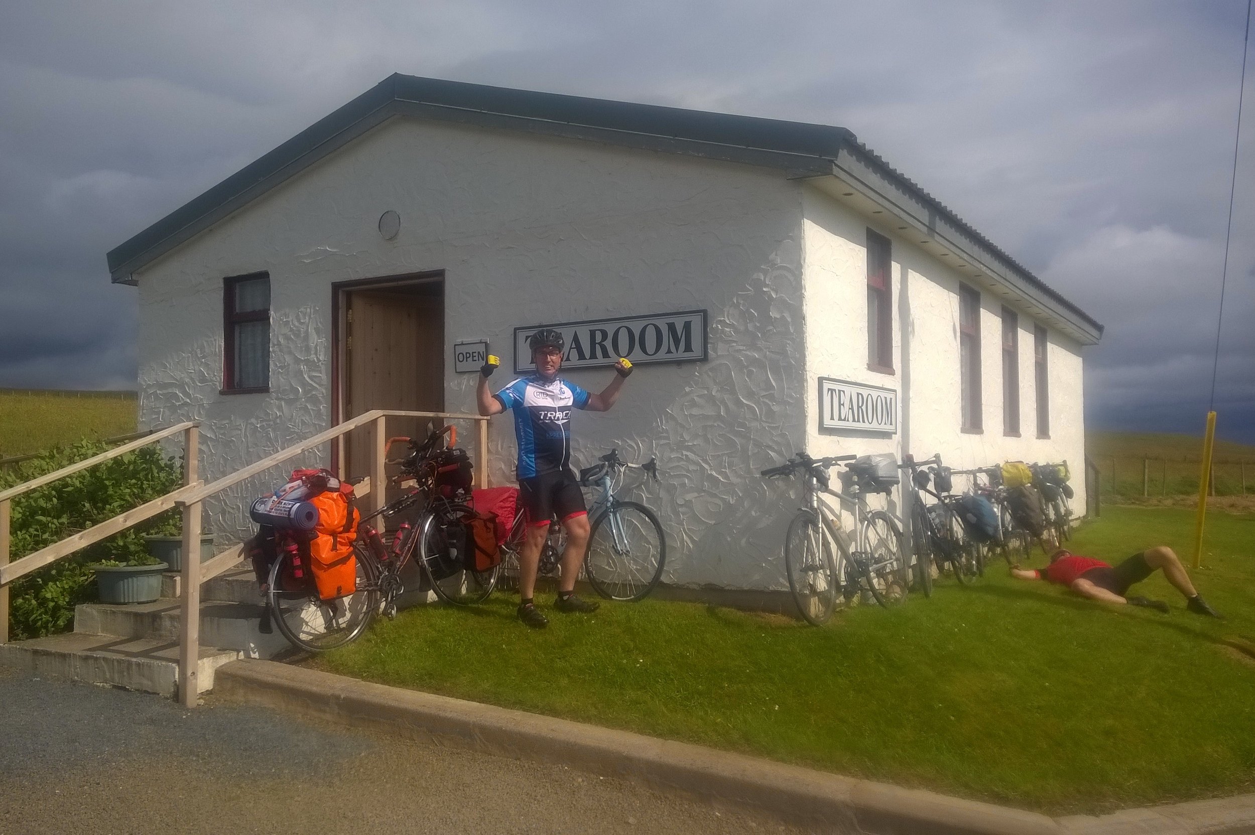
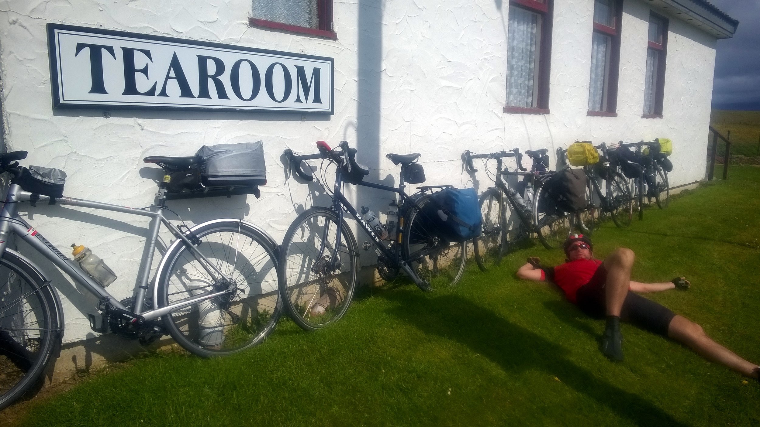
By Day 4 we’d got into a flow, having got used to being together as a team and perfecting the routine of every day on the road. Each day we would get up at around 7:30, have breakfast, kit-up and tackle the first 15 to 20 miles. Then would come morning break, usually coffee and carrot cake, followed by another 20 miles before lunch. The afternoons were similar: 20 miles, then coffee and cake and the final push through to wherever we were staying that evening. We even got the evenings down to a fine art with some of us sorting out payment for the hostel, some sorting out clothes washing whilst the others showered.
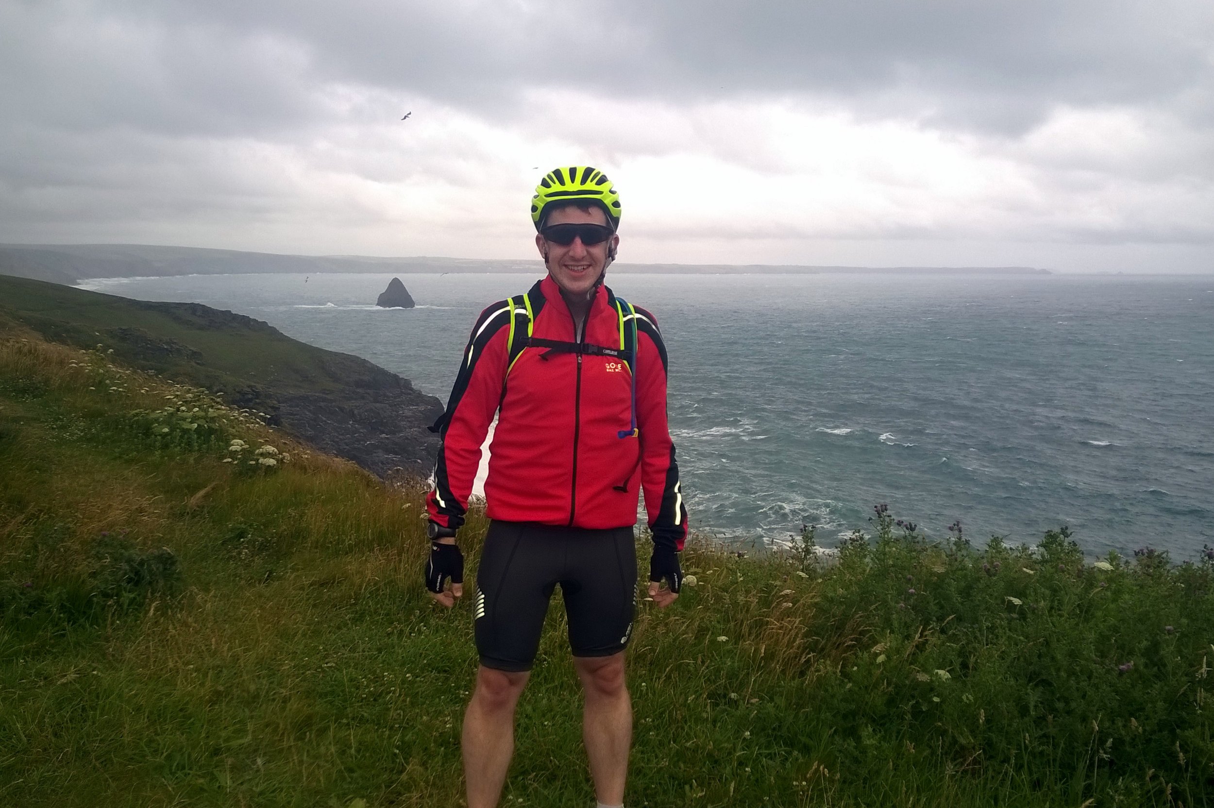
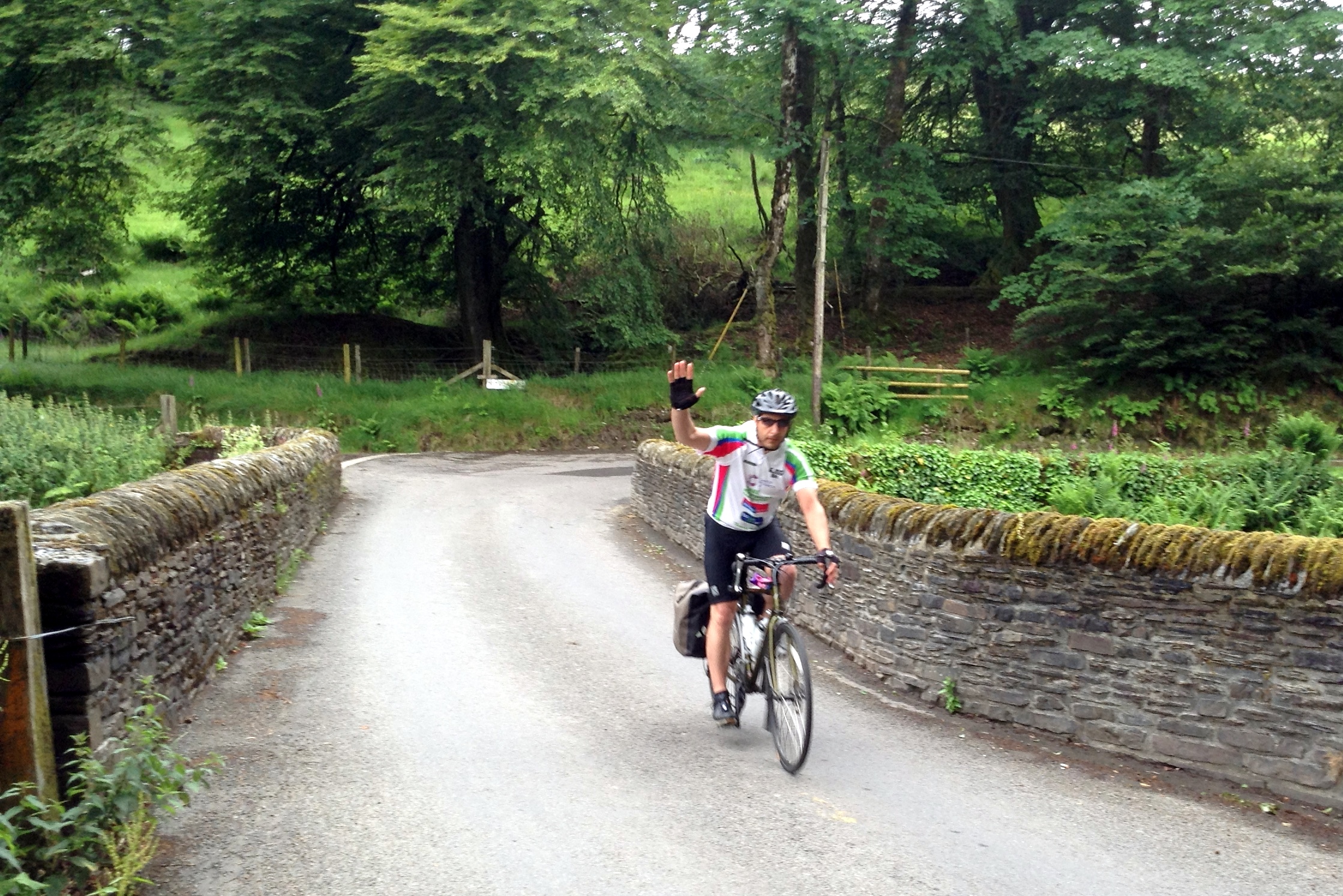
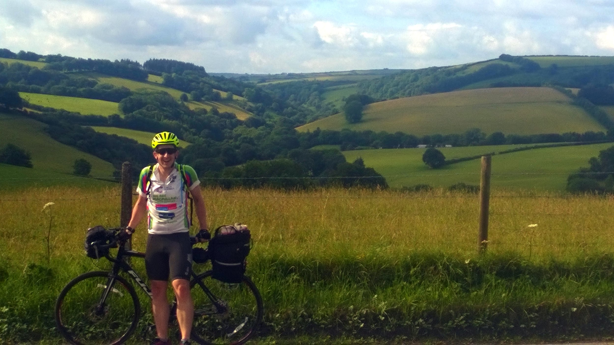
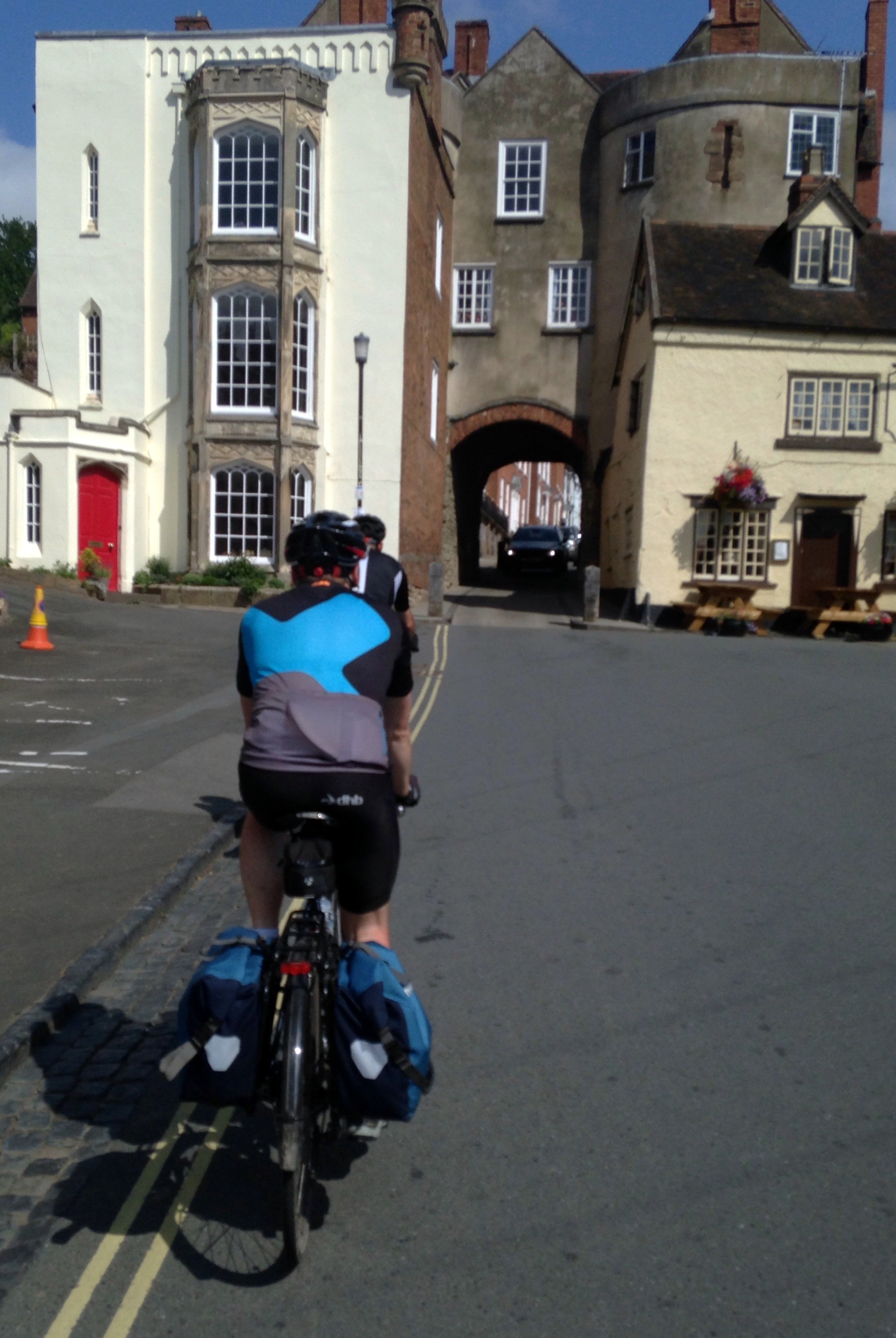
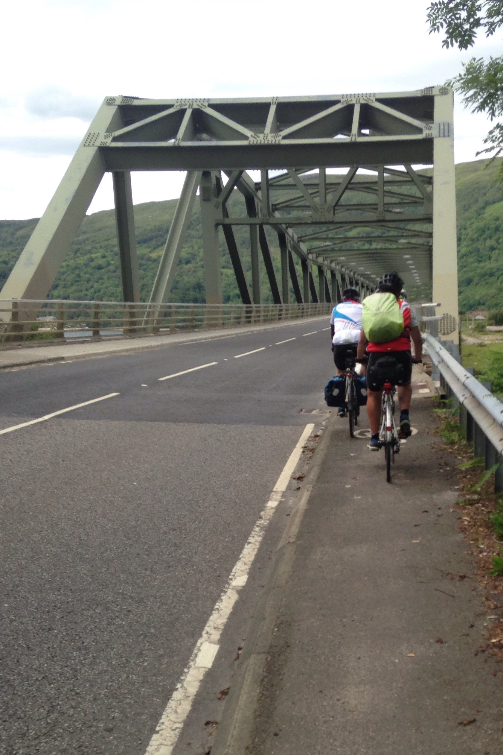
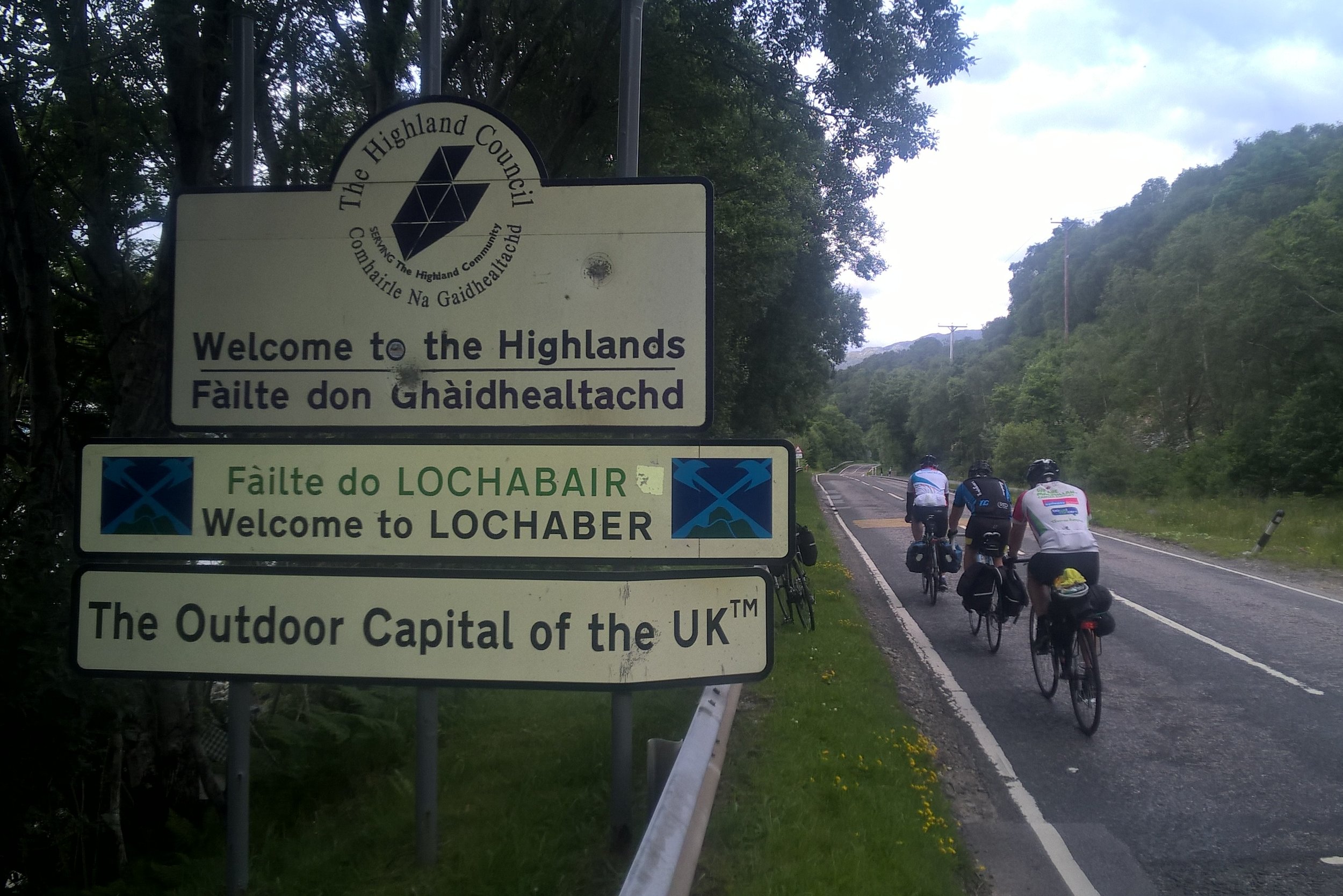
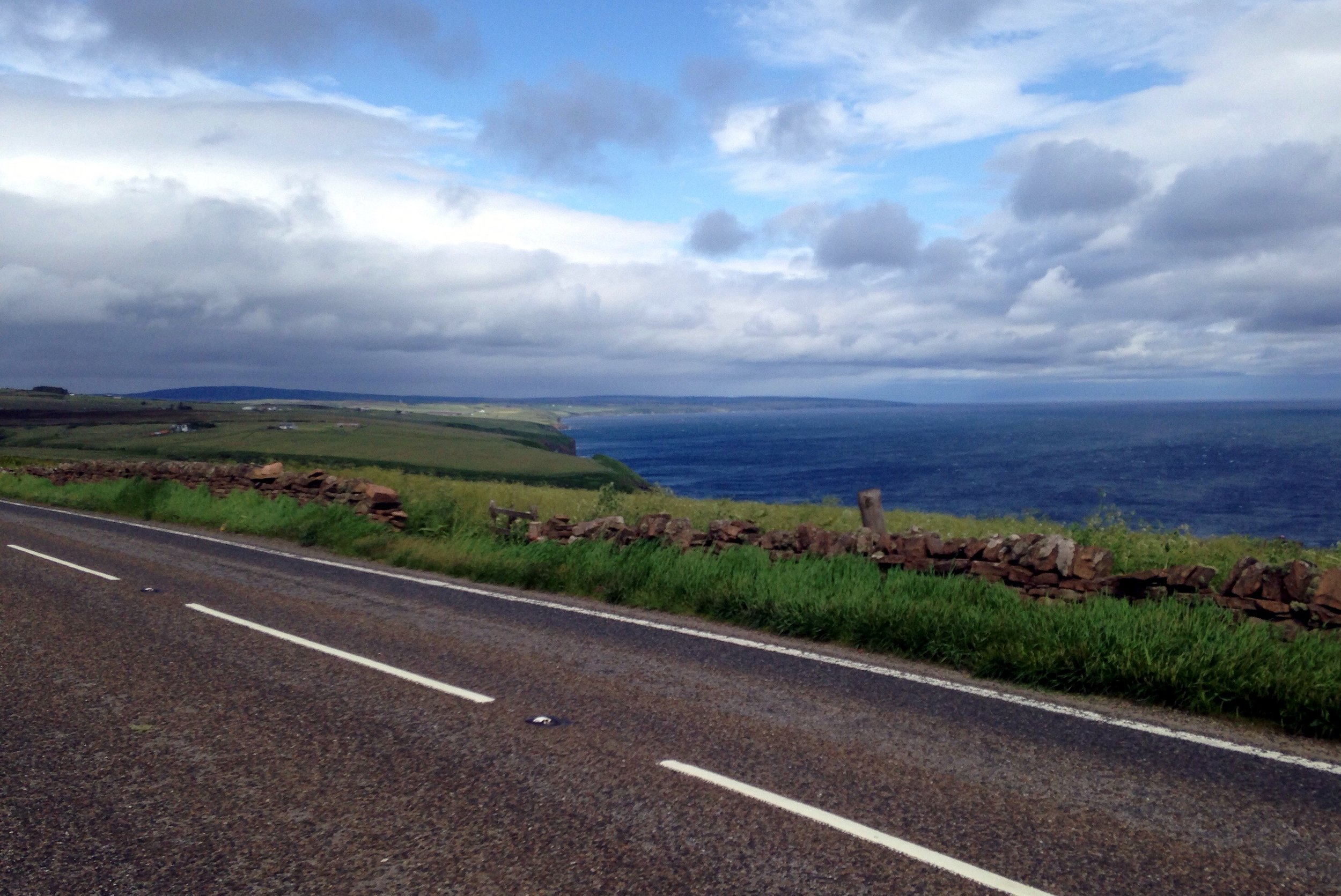
Whilst a lot of the process of doing the trip became routine, the adventure was in the route itself. England, Wales and Scotland unfolded before us, showing us some of the best parts of the countryside. Towards the end of the trip we about our favourite parts but there were too many to bring it down to a short-list. Often we would post on Facebook about that day having been the best of the trip, only for the next day to be just a enjoyable or even better. My video of the highlights is probably the best way to explain how amazing the trip was.
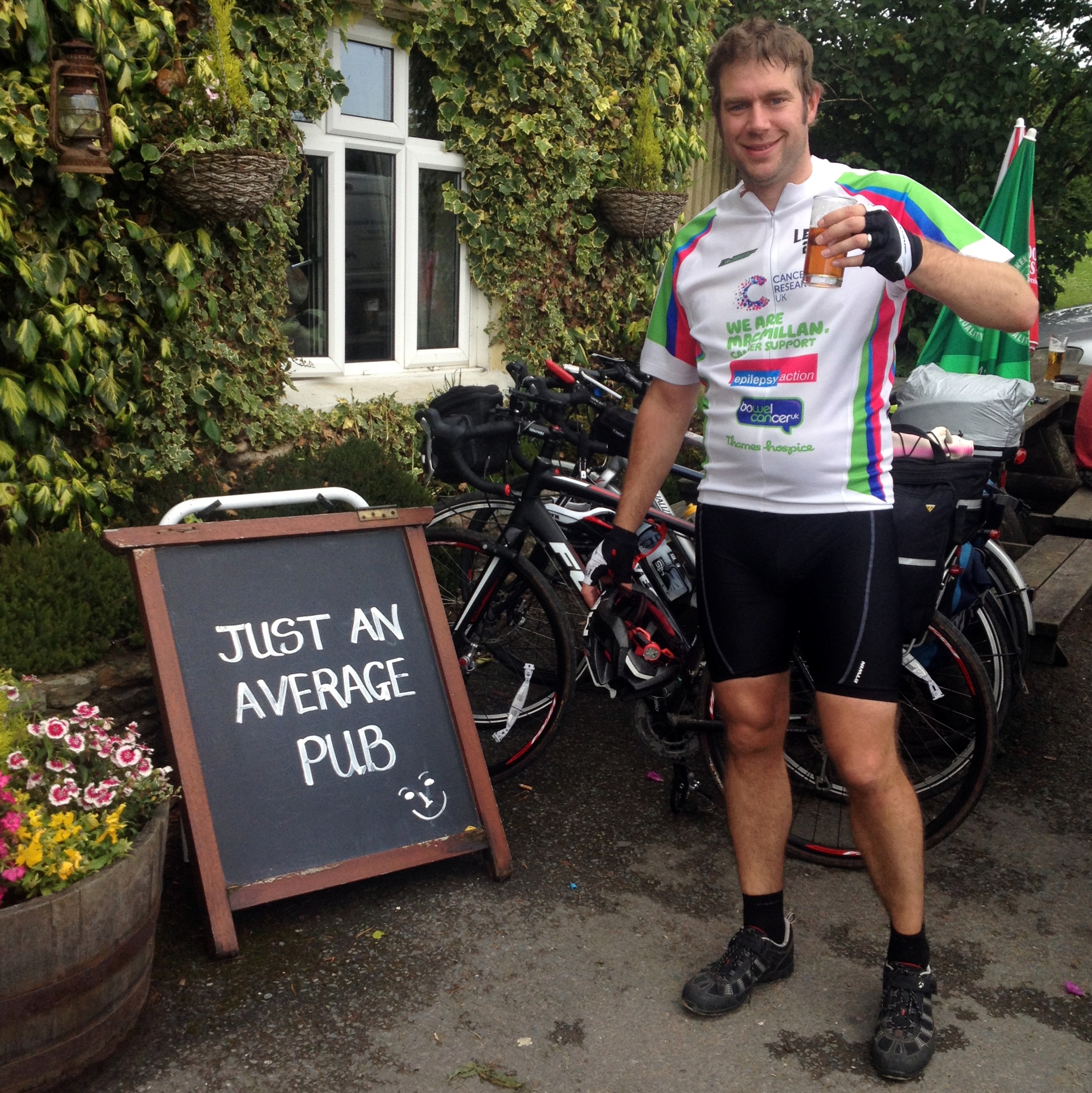
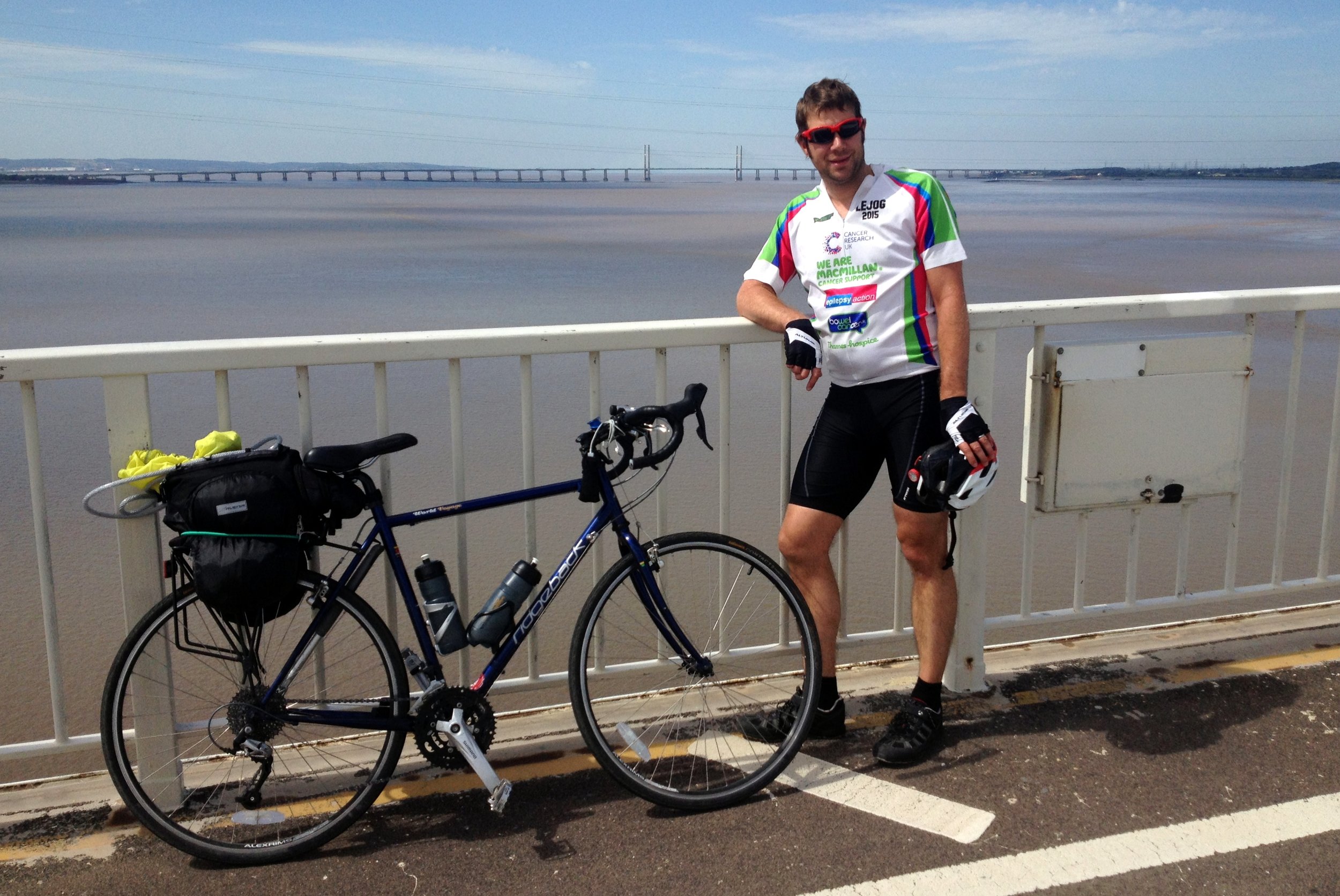
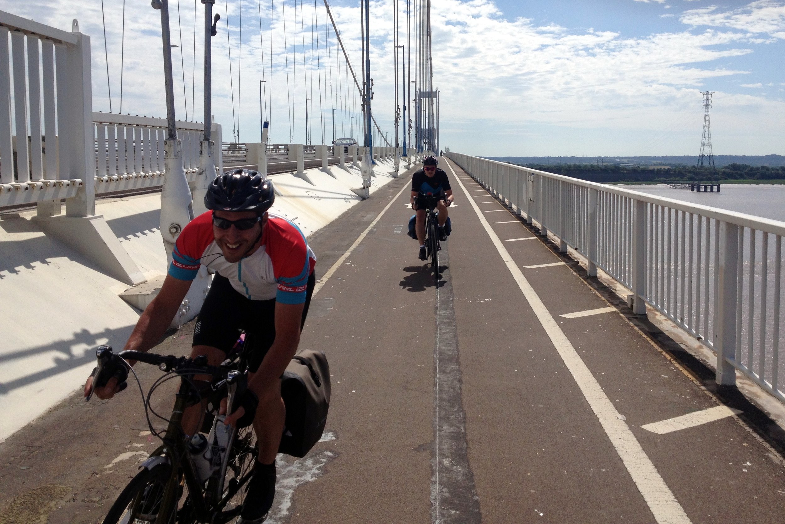
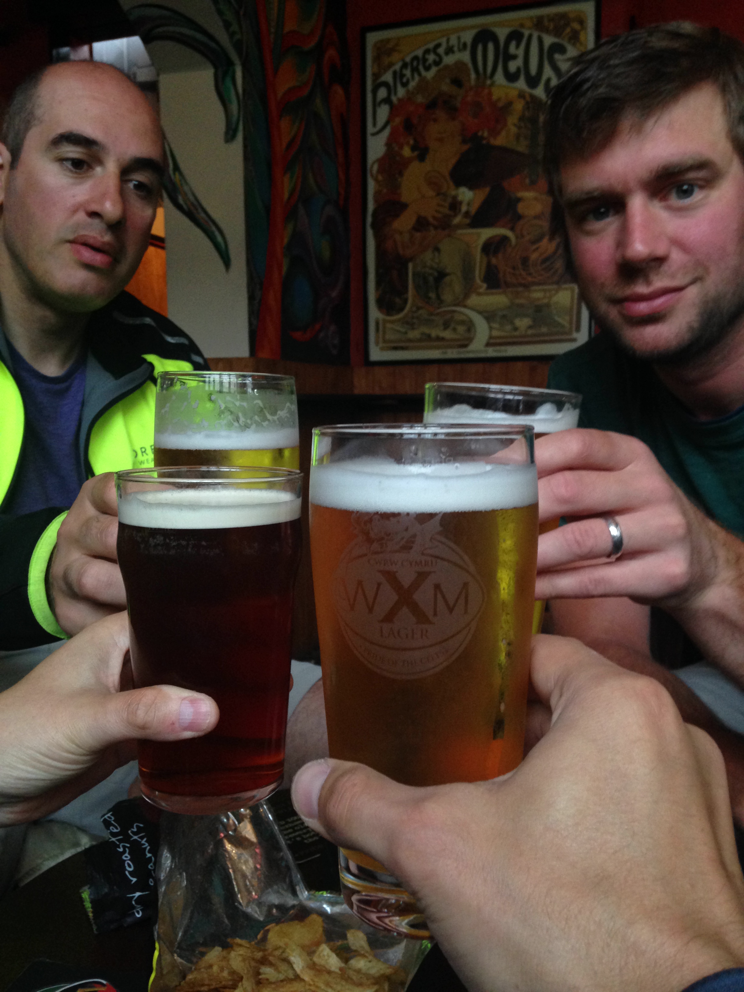
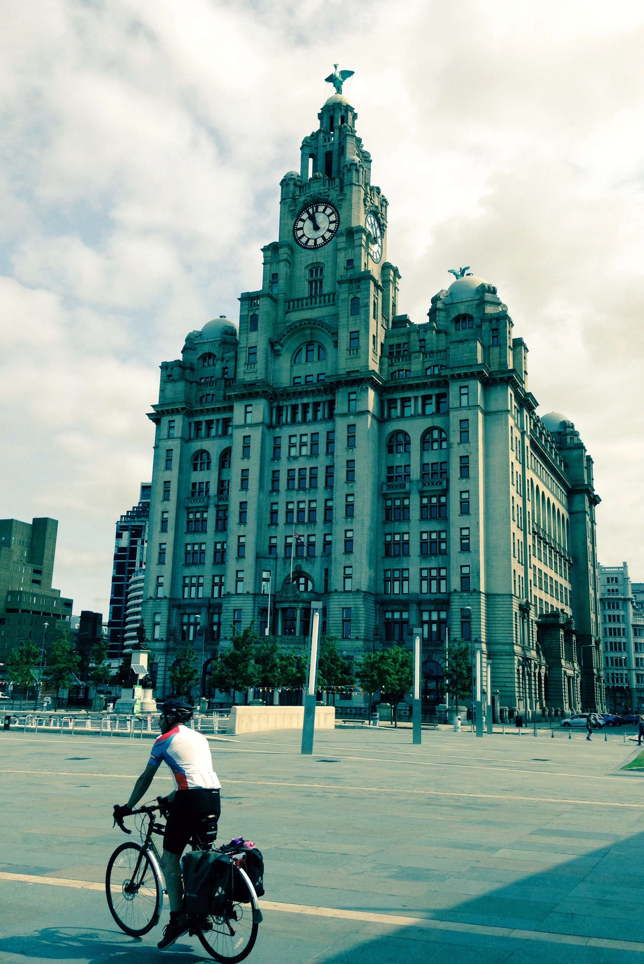
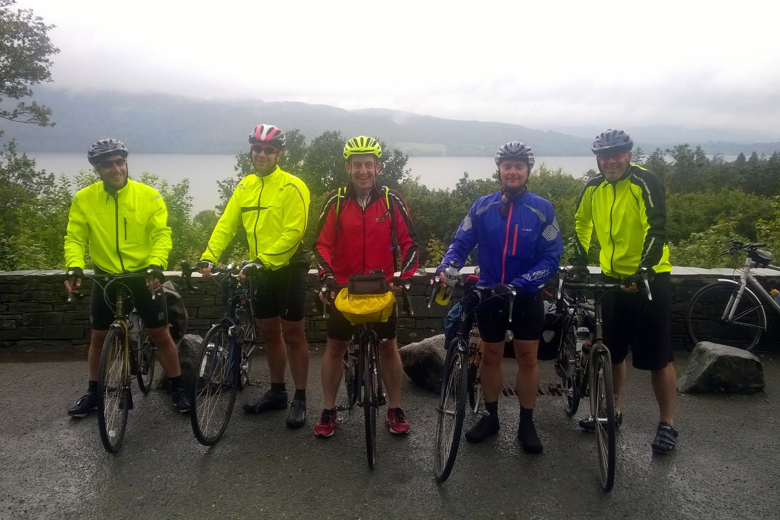
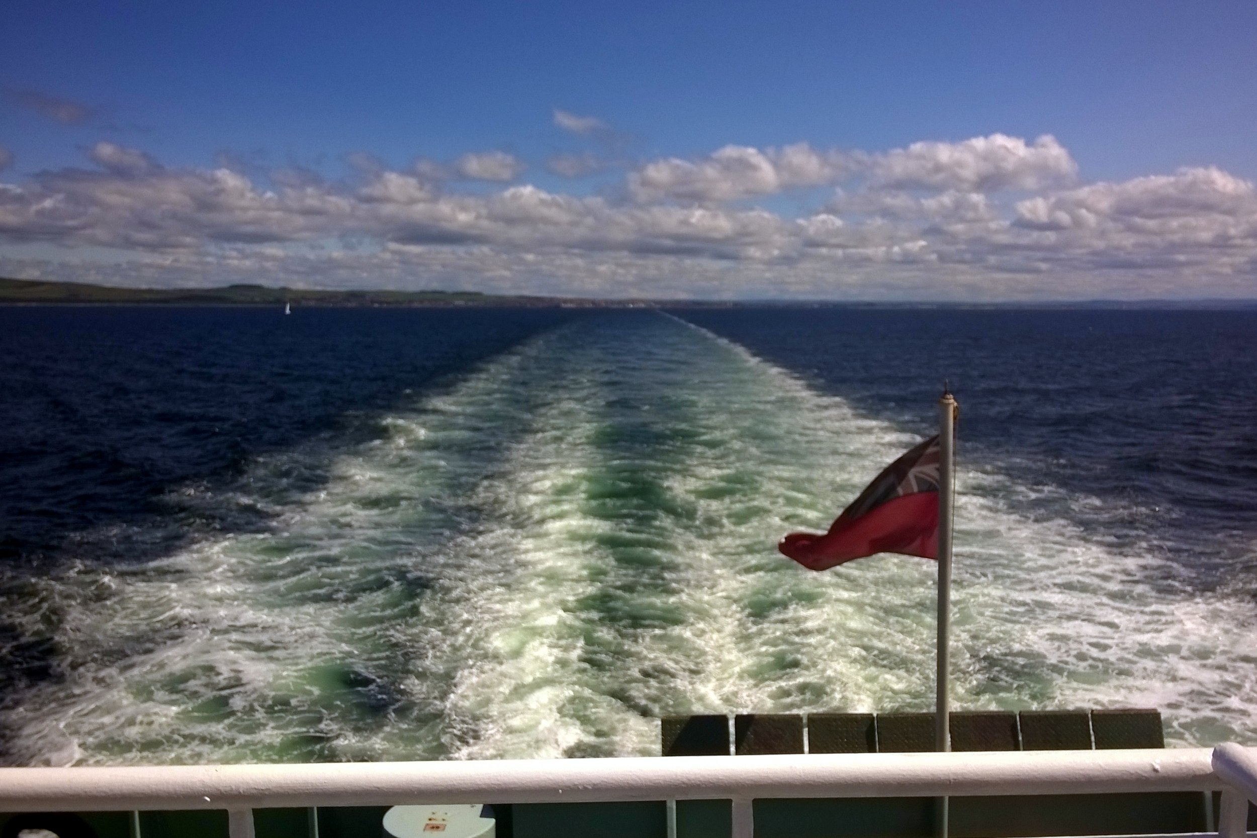
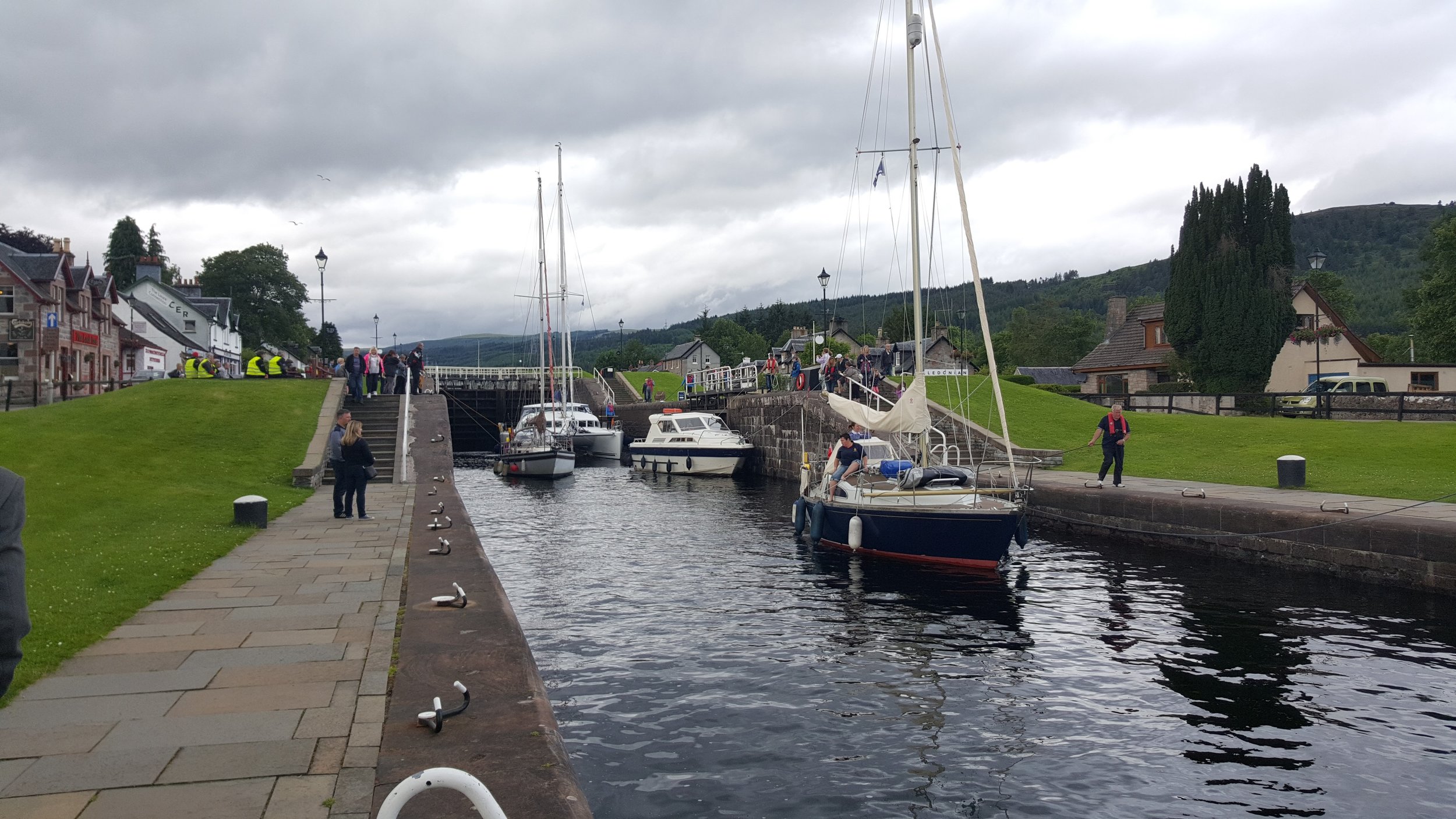
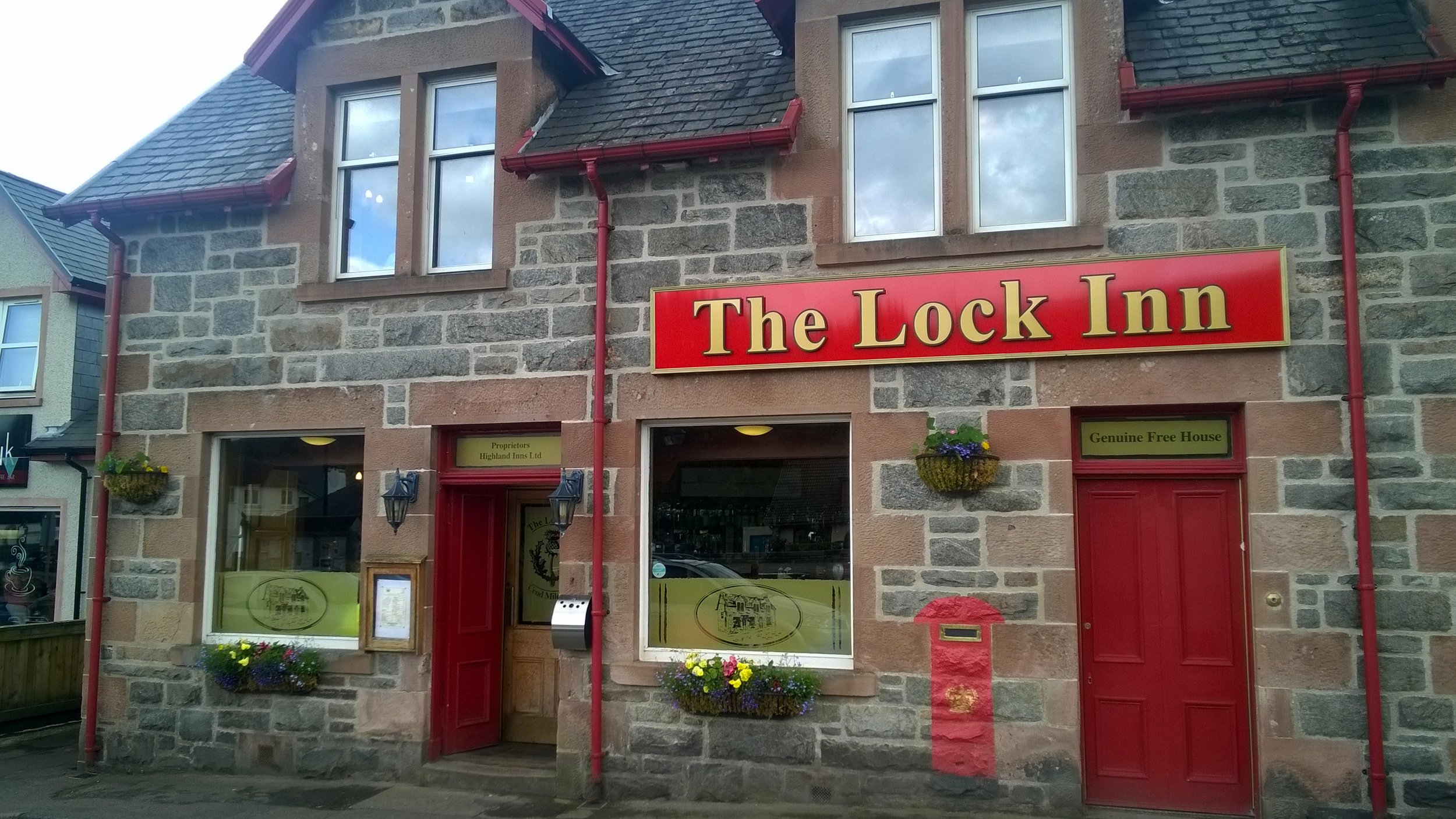
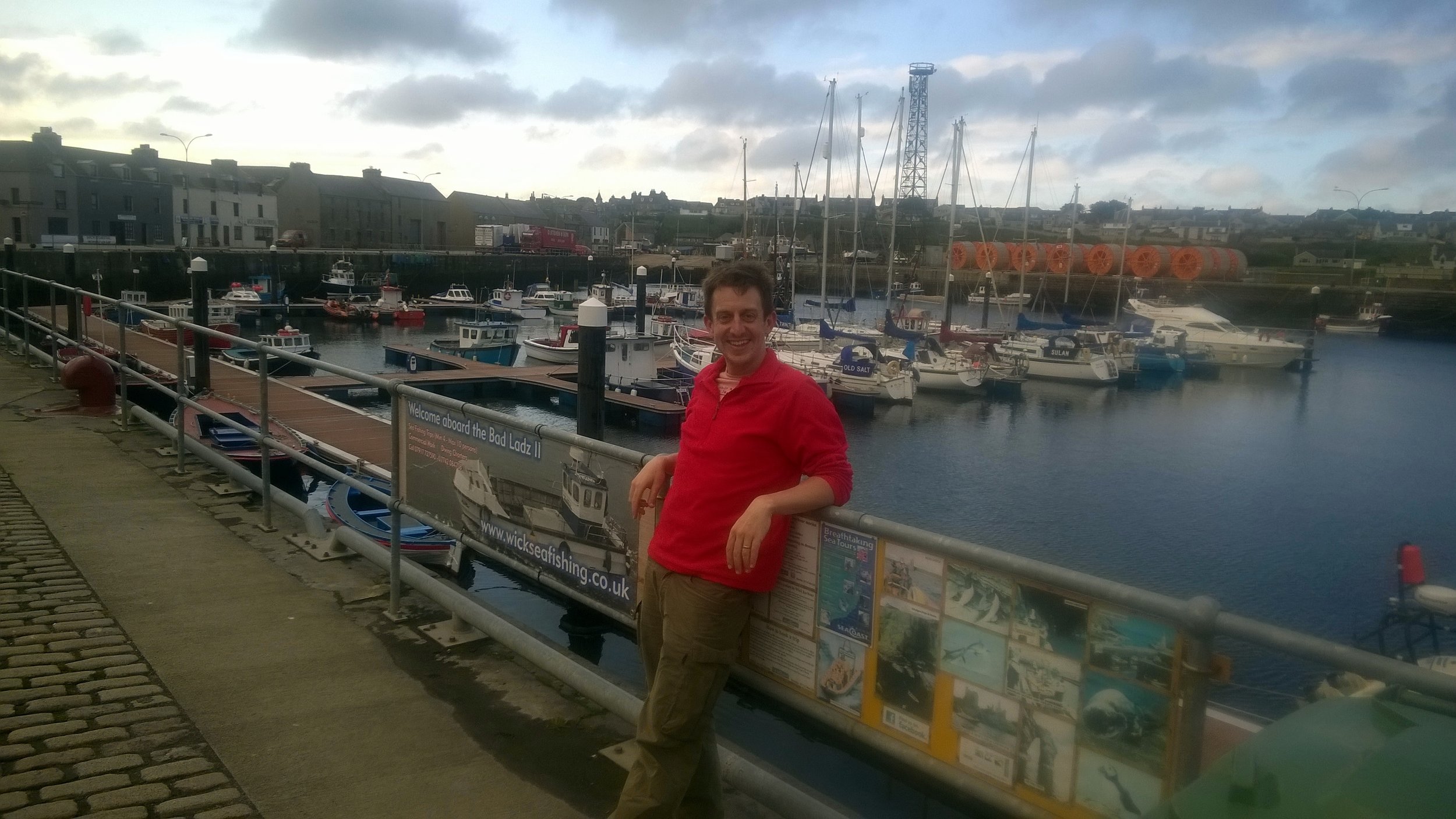
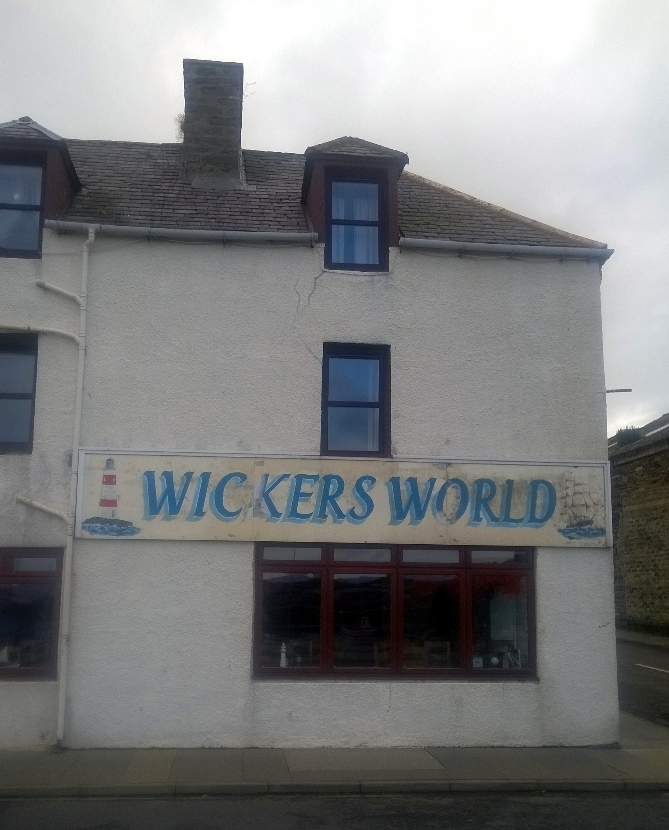
One special moment for me was the evening in Wick, our final overnight stop after our longest day at 105 miles. We were less than 2 cycling hours from John O’Groats so there was already a feeling of celebration. We’d already been spared punctures or major injuries so getting to the end was inevitable, even if we had to walk. Wick really has a sense of being at the end of the country. It was fairly bleak, even in summer, and we wondered what people did there. Over a few pints a a curry we talked about the hilly South-West from 2 weeks ago, the exhilarating downhill rides into Exford, the Strawberry Line to Bristol, crossing the Severn Bridge, The Wye Valley, the ferry across the Mersey, the Lake District, Gretna, Arran, the Great Glenn and the Scottish coast. All very different experiences and even more special to have been able to join them up in one self-powered adventure.
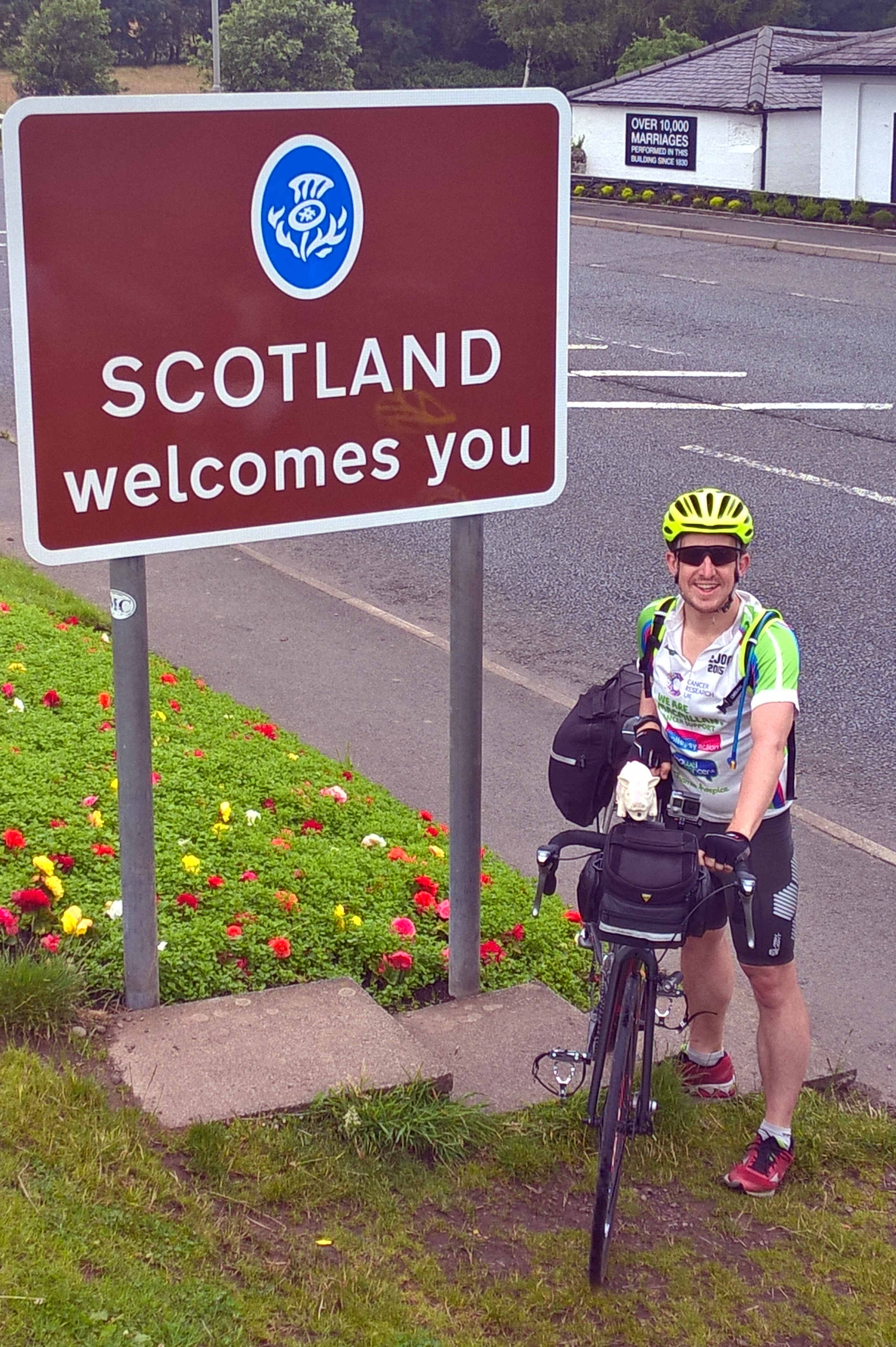
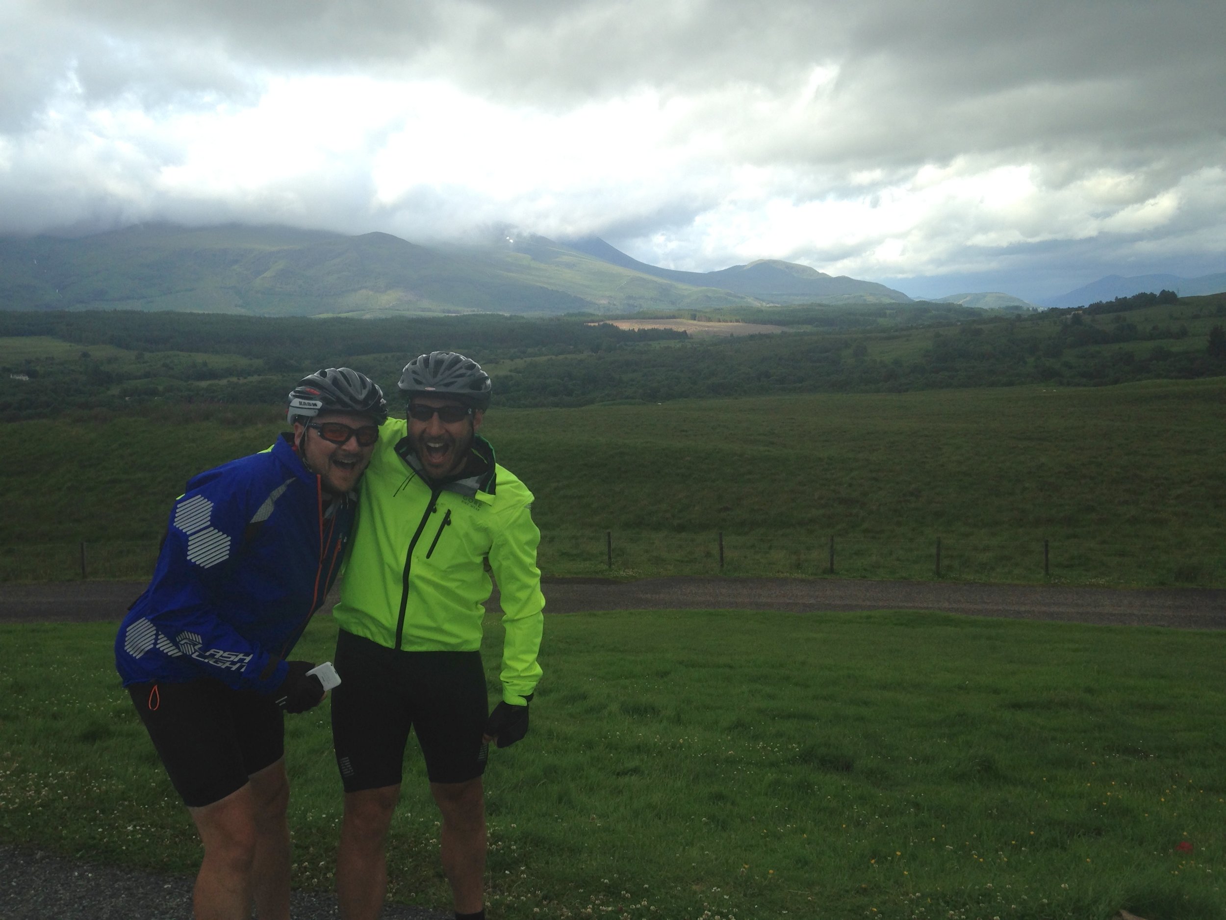
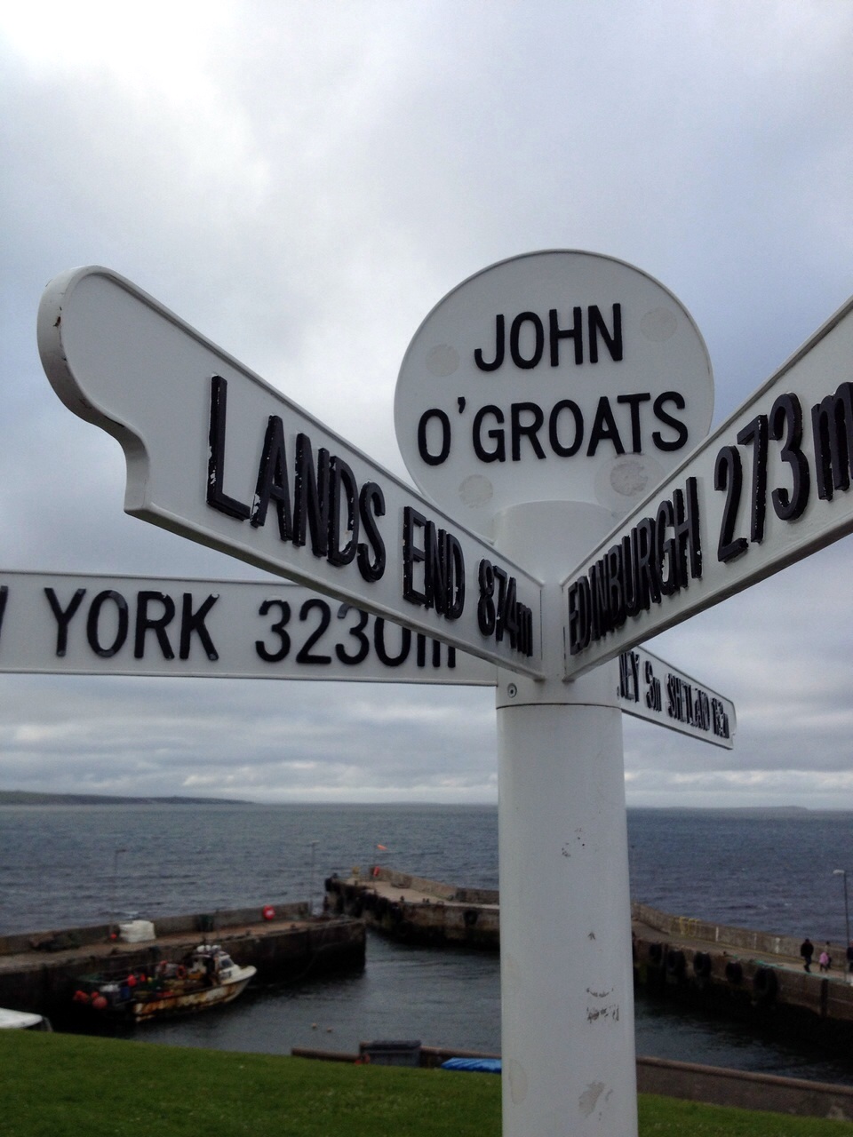
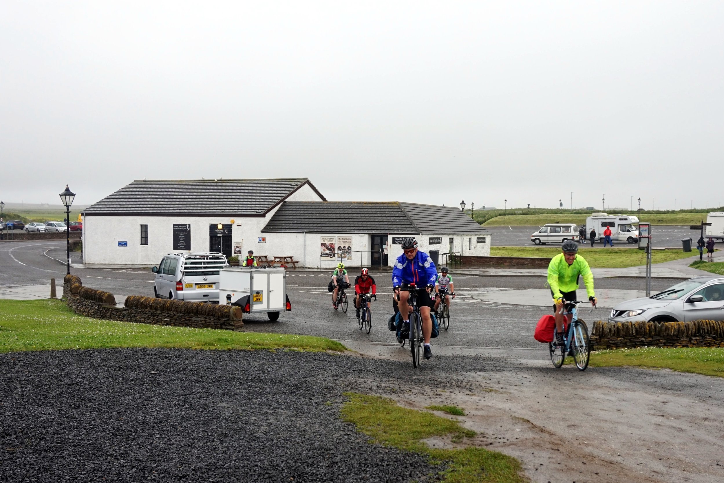
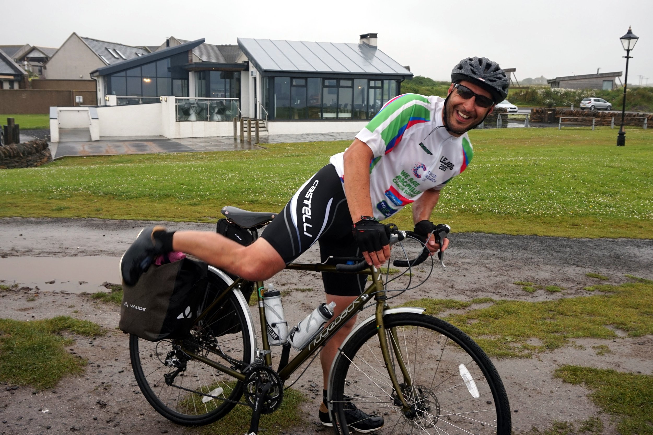
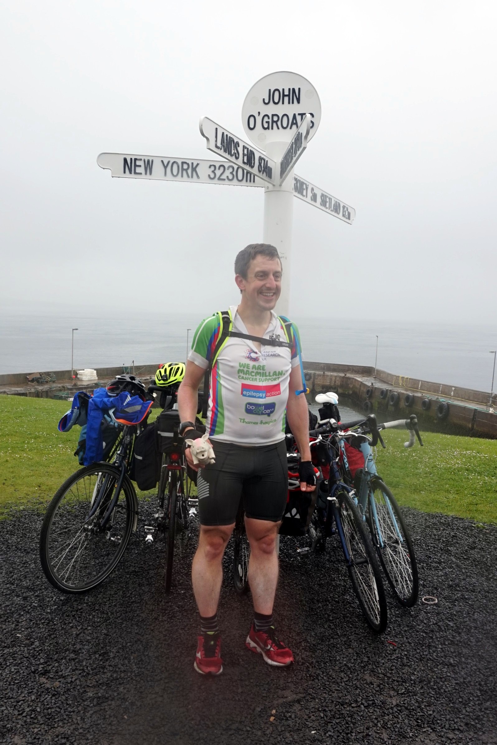
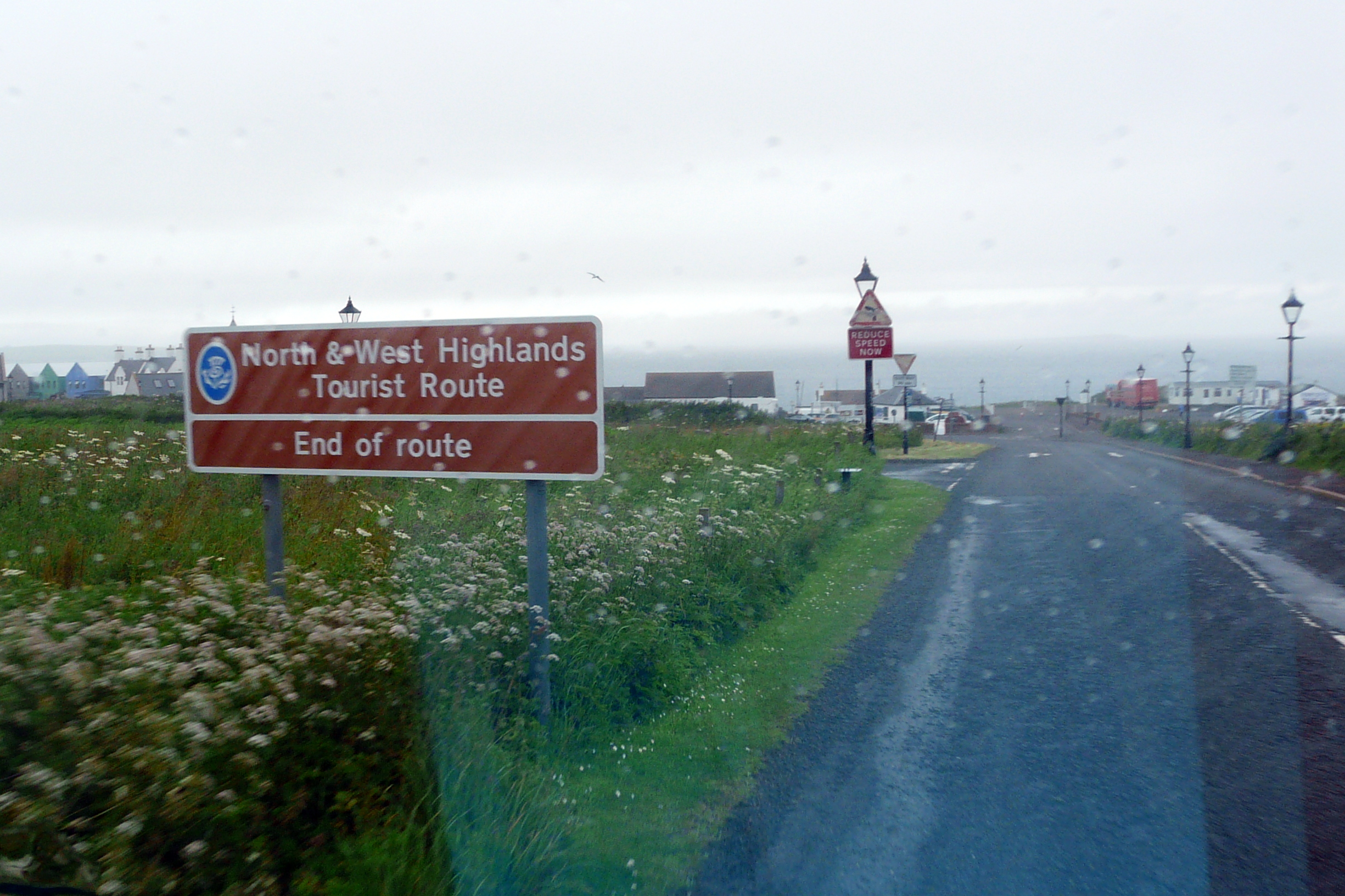
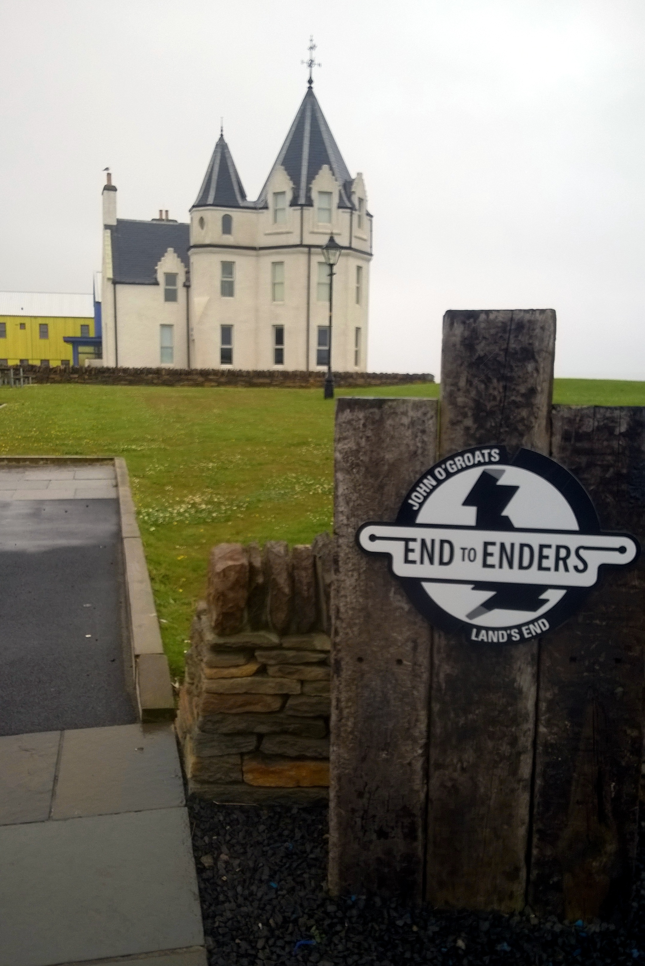
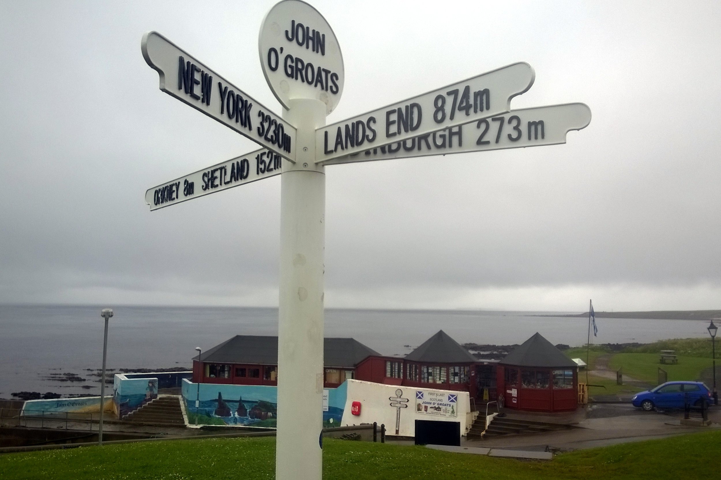
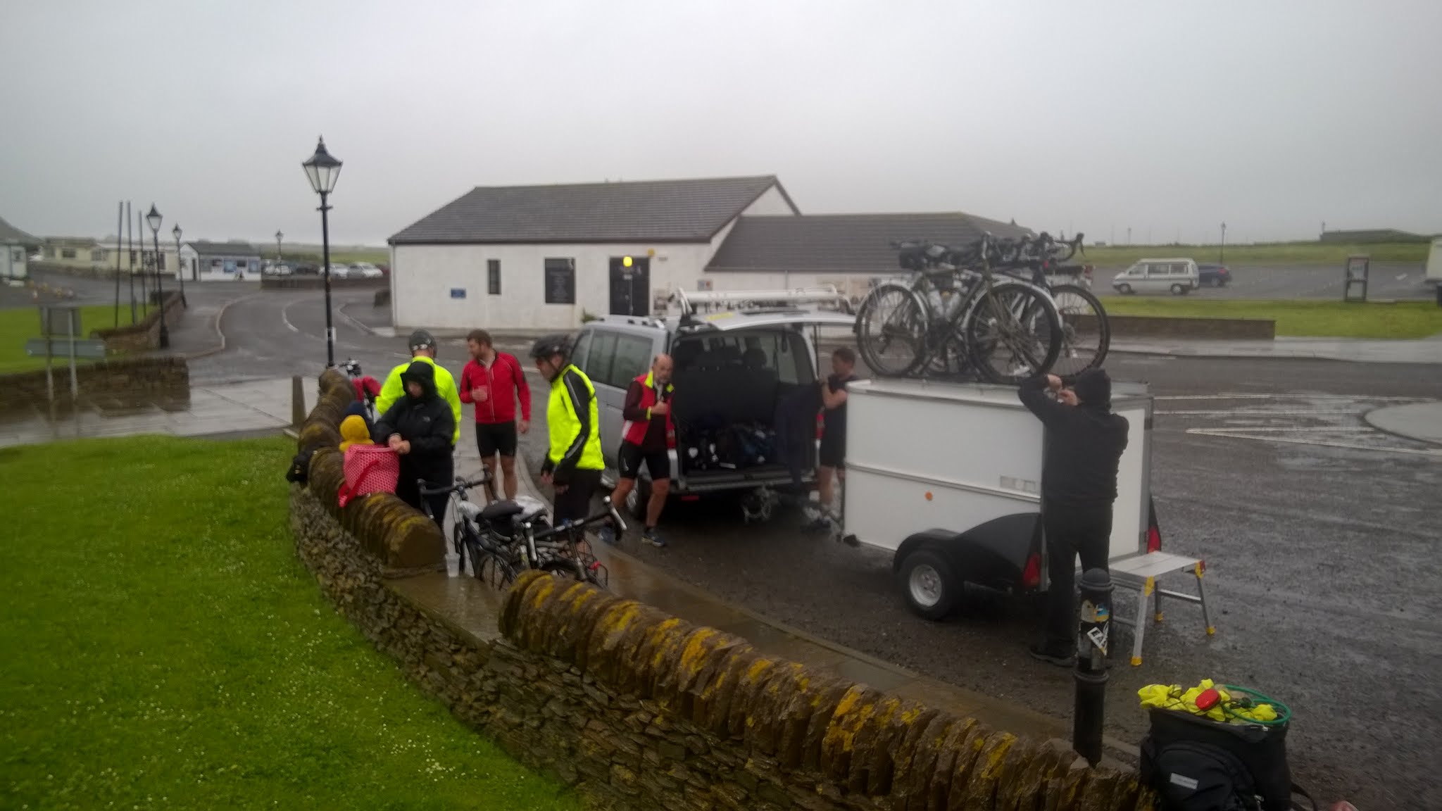
After all of that, the final was a bit of an anti-climax. From Wick, we only had 17 miles to go, normally the distance till our first carrot cake stop. This 17 miles contained the most rain we'd had apart from the Lake District. John O’Groats quickly came and we were greeted by Martyn's family and friends who had followed us since Arran. The next part was ultra efficient, disassembling and boxing up the bikes, driving to Inverness airport and boarding the plane to Gatwick. After 2 weeks of being very present and fully focused on the trip, suddenly it was all over. I’d had a nice sense of completion for the adventure that I'd had in my mind for 21 years, but it didn't feel like an end, more the inspiration for something new. From John O’Groats, there's 2 ways to go, North by boat to Orkney or carry on West to Dunnet Head, the mainland’s most northerly point, then the wild Scottish coast. I'm sure I'll be back for both, but a lot sooner than 21 years.
Day 1: Land’s End to Falmouth
Date: July 6th 2015
Start: Land’s End Visitors Centre, Sennen, Penzance TR19 7AA
Finish: Falmouth Lodge Backpackers Hostel, 9 Gyllyngvase Terrace, Falmouth, TR11 4DL
Distance: 60.4 km (37.5 miles)
Elevation change: +757m / - 798 m / Net -41m
GPX File: get via Buy Me a Coffee
Other Routes Touched (Cycle): NCN 3
Other Routes Touched (Walk): South West Coast Path
Day 2: Falmouth to Tintagel
Date: July 7th 2015
Start: Falmouth Lodge Backpackers Hostel, 9 Gyllyngvase Terrace, Falmouth, TR11 4DL
Finish: YHA Tintagel, Dunderhole Point, Tintagel PL34 0DW
Distance: 88.8 km (55.2 miles)
Elevation Change: +1,333m / - 1,289 m / Net +44m
GPX File: get via Buy Me a Coffee
Other Routes Touched (Cycle): NCN 3, 32
Other Routes Touched (Walk): South West Coast Path
Day 3: Tintagel to Exford
Date: July 8th 2015
Start: YHA Tintagel, Dunderhole Point, Tintagel PL34 0DW
Finish: Exford Hostel, Exemead Stables, Exford, Minehead TA24 7PU
Distance: 118.6 km (73.7 miles)
Elevation change: : +1,641m / - 1,457 m / Net -184m
GPX File: get via Buy Me a Coffee
Other Routes Touched (Cycle): NCN 27, 277, 3, 33
Other Routes Touched (Walk): South West Coast Path, Tarka Trail, Macmillan Way West, Two Moors Way, Exe Valley Way
Day 4: Exford to Bristol
Date: July 9th 2015
Start: Exford Hostel, Exemead Stables, Exford, Minehead, TA24 7PU
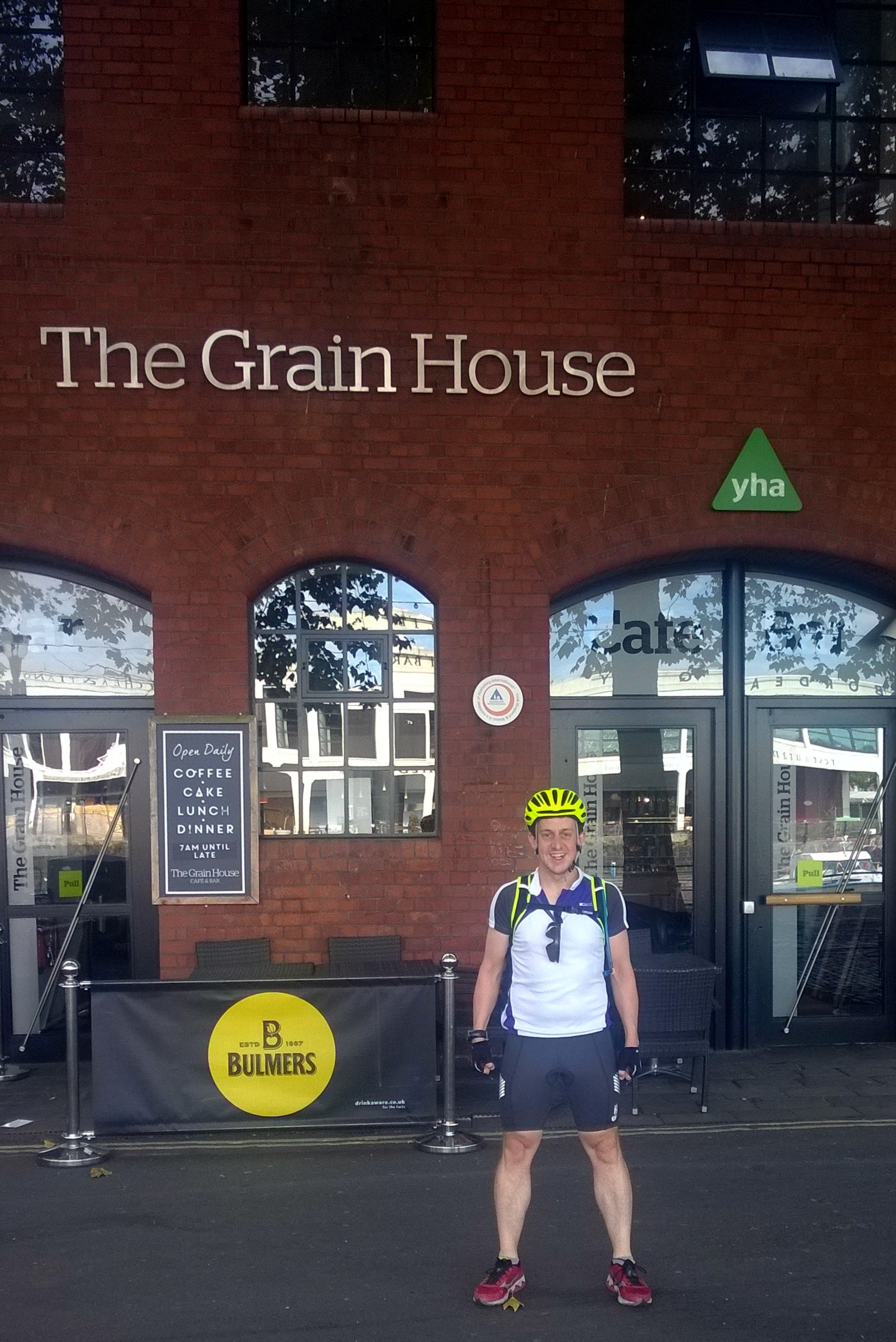
Finish: YHA Bristol, 14 Narrow Quay, Avon, Bristol BS1 4QA
Distance: 122 km (76 miles)
Elevation change: : +875m / - 1,120 m / Net -245m
GPX File: get via Buy Me a Coffee
Other Routes Touched (Cycle): NCN 26 (The Strawberry Line), 3, 33, 334, 41, 410
Other Routes Touched (Walk): Exe Valley Way, Coleridge Way, Macmillan Way West, River Parrett Trail, The Mendip Trail, West Mendip Way, Round Yatton Walk, River Avon Trail,
Day 5: Bristol to Hereford
Date: July 10th 2015
Start: YHA Bristol, 14 Narrow Quay, Avon, Bristol BS1 4QA
Finish: East Friars B&B, 33 Greyfriars Avenue, Hereford, HR4 0BE
Distance: 84 km (52.2 miles)
Elevation change: +1,047m / - 1,007 m / Net +40m
GPX File: get via Buy Me a Coffee
Other Routes Touched (Cycle): NCN 4, 41, 410, 42, 423, 46,
Other Routes Touched (Walk): Bristol Triangular City Walk, Severn Way, Wales Coast Path, Wye Valley Walk, Offa’s Dyke Path, Gloucestershire Way, Herefordshire Trail,
Day 6: Hereford to Chester
Date: July 11th 2015
Start: East Friars B&B, 33 Greyfriars Avenue, Hereford, HR4 0BE
Finish: Grotty hotel in Chester City Centre, CH1 3DU
Distance: 149.4 km (92.8 miles)
Elevation change: +1,035m / - 1,066 m / Net -31m
GPX File: get via Buy Me a Coffee
Other Routes Touched (Cycle): NCN 44, 45, 455, 81,
Other Routes Touched (Walk): Herefordshire Trail, Shropshire Way, Jack Mytton Way, Severn Way, Llangolen Canal Towpath, Maelor Way, Marches Way, Baker Way, Two Saints Way, Shropshire Union Canal Towpath,
Day 7: Chester to Morecambe
Date: July 12th 2015
Start: Grotty hotel in Chester City Centre, CH1 3DU
Finish: The Morecambe Bay Hotel, 317-318 Marine Rd Central, Morecambe LA4 5AA
Distance: 122.9 km (76.4 miles)
Elevation change: +627m / - 642 m / Net -15m
GPX File: get via Buy Me a Coffee
Other Routes Touched (Cycle): NCN 56, 568, 6, 62, 622, 69, 810,
Other Routes Touched (Walk): Shropshire Union Canal Towpath, Longster Trail, North Cheshire Way, Ribble Way, Lancaster Canal Towpath,
Day 8: Morecambe to Carlisle
Date: July 13th 2015
Start: The Morecambe Bay Hotel, 317-318 Marine Rd Central, Morecambe LA4 5AA
Finish: YHA Carlisle (now permanently closed), Bridge Ln, Carlisle CA2 5SR
Distance: 123.2 km (76.5 miles)
Elevation change: +1,172m / - 1,161 m / Net +11m
GPX File: get via Buy Me a Coffee
Other Routes Touched (Cycle): NCN 10, 6, 69, 7, 70, 71, 700
Other Routes Touched (Walk): Lancashire Coastal Way, Cumbria Coastal Way, Coast To Coast Walk, Cumbria Way,
Day 9: Carlisle to New Cumnock
Date: July 14th 2015
Start: YHA Carlisle (now permanently closed), Bridge Ln, Carlisle CA2 5SR
Finish: Old School B&B, Dalleagles, New Cumnock, East Ayrshire, KA18 4QW
Distance: 126.5 km (78.6 miles)
Elevation change: +921m / - 707 m / Net -214m
GPX File: get via Buy Me a Coffee
Other Routes Touched (Cycle): NCN 10, 7, 72
Other Routes Touched (Walk): Hadrian’s Wall Path, Annandale Way, Southern Upland Way,
Day 10: New Cumnock to Lochgilphead
Date: July 15th 2015
Start: Old School B&B, Dalleagles, New Cumnock, East Ayrshire, KA18 4QW
Finish: Empire Lodge B&B, Union St Lochgilphead, Lochgilphead, PA31 8JS,
Distance: 131.8 km (81.9 miles)
Elevation change: +1,213m / -1,437 m / Net -224m
GPX File: get via Buy Me a Coffee
Other Routes Touched (Cycle): NCN 7, 73, 78
Other Routes Touched (Walk): River Ayr Way, New Town Trail, Arran Coastal Way, Kyntire Way
Day 11: Lochgilphead to Fort William
Date: July 16th 2015
Start: Empire Lodge B&B, Union St Lochgilphead, Lochgilphead, PA31 8JS,
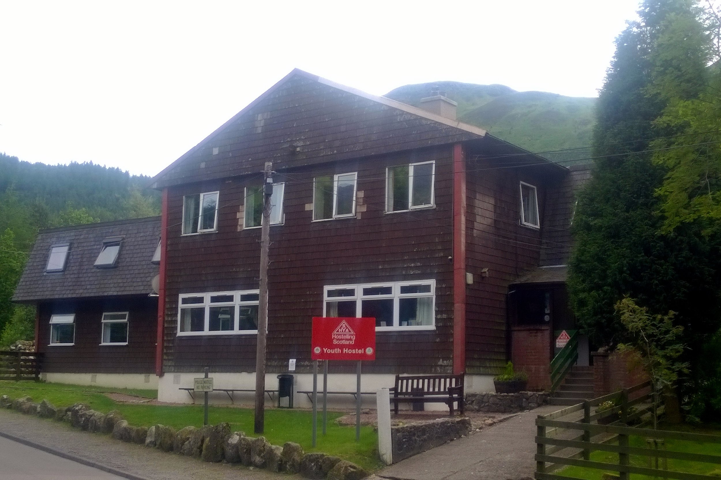
Finish: Glen Nevis Youth Hostel, Glen Nevis, Fort William PH33 6SY
Elevation change: 135.6 km (84.3 miles)
Ascent: +1,554m / -1,535 m / Net -19m
GPX File: get via Buy Me a Coffee
Other Routes Touched (Cycle): NCN 78
Other Routes Touched (Walk): Great Glen Way, West Highland Way
Day 12: Fort William to Inverness
Date: July 17th 2015
Start: Glen Nevis Youth Hostel, Glen Nevis, Fort William PH33 6SY
Finish: Inverness Youth Hostel, Victoria Dr, Inverness IV2 3QB
Elevation change: 107.9 km (67 miles)
Ascent: +1,197m / -1,206 m / Net -9m
GPX File: get via Buy Me a Coffee
Other Routes Touched (Cycle): NCN 1, 7, 78
Other Routes Touched (Walk): West Highland Way, East Highland Way, Great Glen Way
Day 13: Inverness to Wick
Date: July 18th 2015
Start: Inverness Youth Hostel, Victoria Dr, Inverness IV2 3QB
Finish: Harbour House B&B, 12 Harbour Terrace, Wick KW1 5HB
Distance: 167.1 km (103.8 miles)
Elevation change: +1,471m / - 1,486 m / Net -15m
GPX File: get via Buy Me a Coffee
Other Routes Touched (Cycle): NCN 1
Other Routes Touched (Walk): none
Day 14: Wick to John O’ Groats
Date: July 19th 2015
Start: Harbour House B&B, 12 Harbour Terrace, Wick KW1 5HB
Finish: John O’ Groats Visitors Centre, John O' Groats, Wick KW1 4YR
Distance: 27.6 km (17.1 miles)
Elevation change: +203m / - 213 m / Net -10m
GPX File: get via Buy Me a Coffee
Other Routes Touched (Cycle): NCN 1
Other Routes Touched (Walk): none
Start & Finish: Brinsbury College, North Heath, Pulborough, RH20 1DL
Distance: 162 km / 101 miles
Elevation Change: + / - 1,431m
GPX File: get via Buy Me a Coffee
Other Routes Touched (Walk): Wey-South Path, The Serpent Trail, South Downs Way, Monarch’s Way, West Sussex Literary Trail, New Lipchis Way, Sussex Border Path, Downs Link
Other Routes Touched (Cycle): NCN 223
Maps:
- OS Explorer OL10 Arundel & Pulborough
- OS Explorer OL8 Chichester, South Harting & Selsey
- OS Explorer OL33 Haslemere & Petersfield
- OS Explorer OL34 Crawley & Horsham
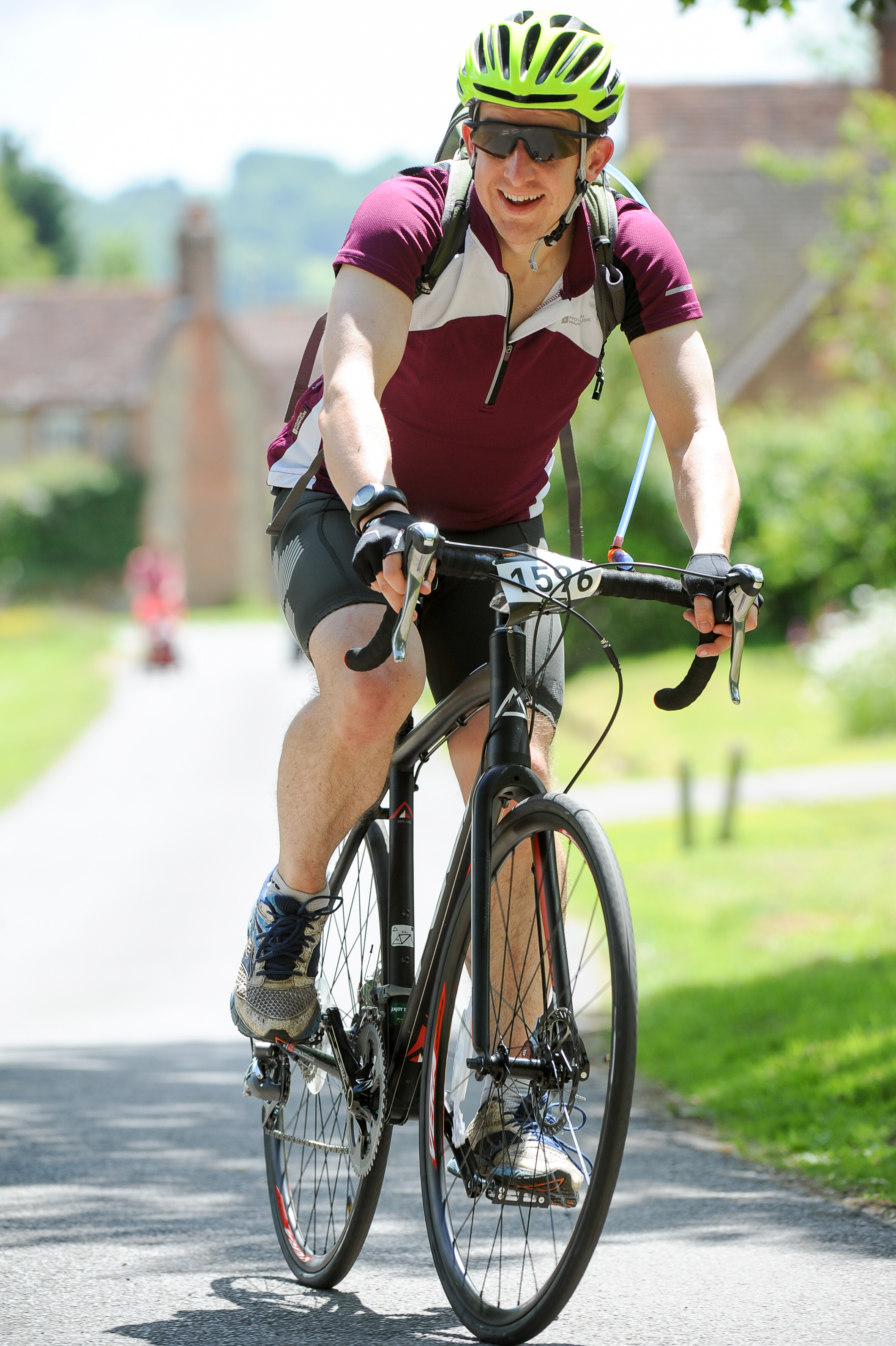
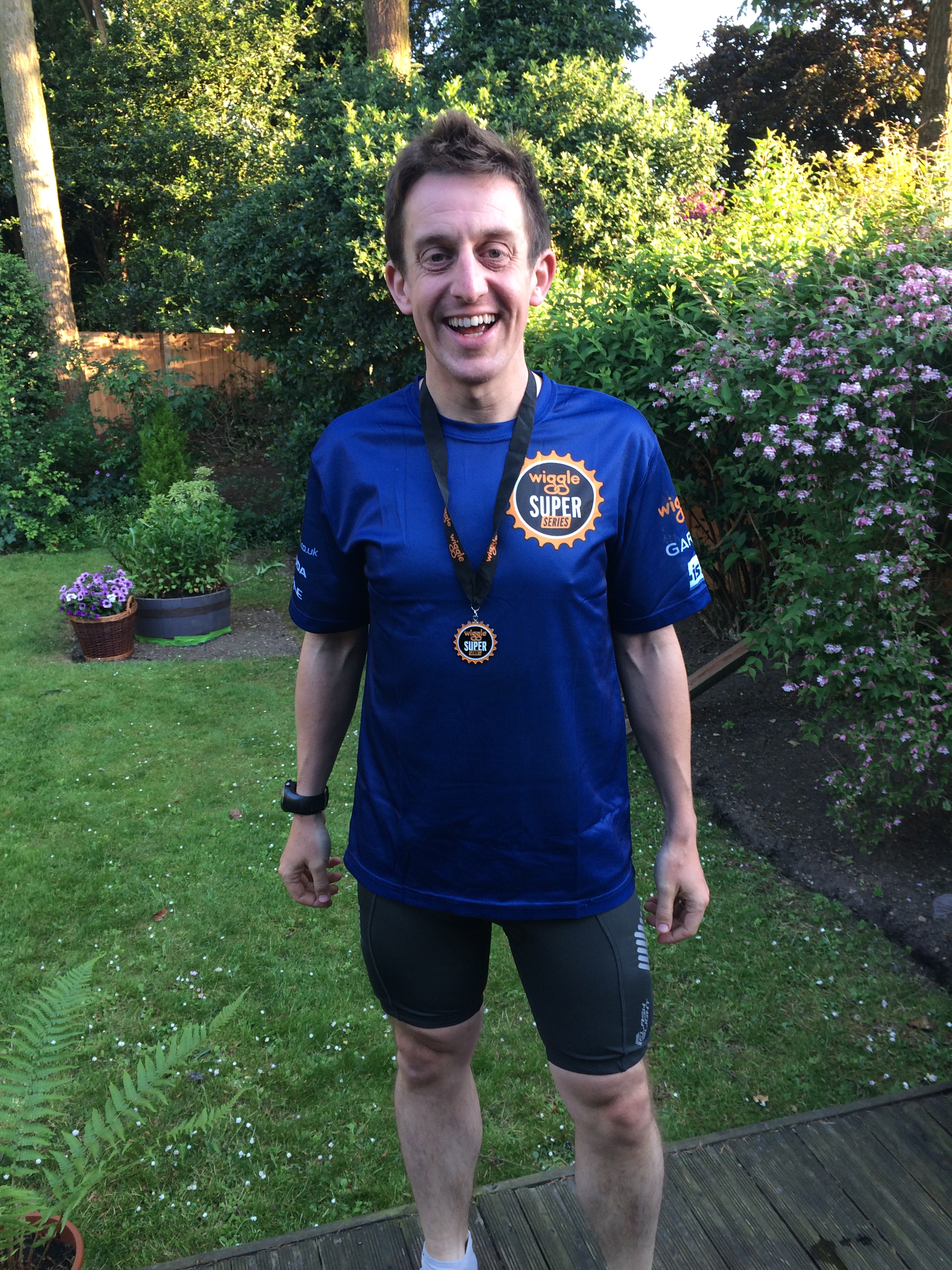
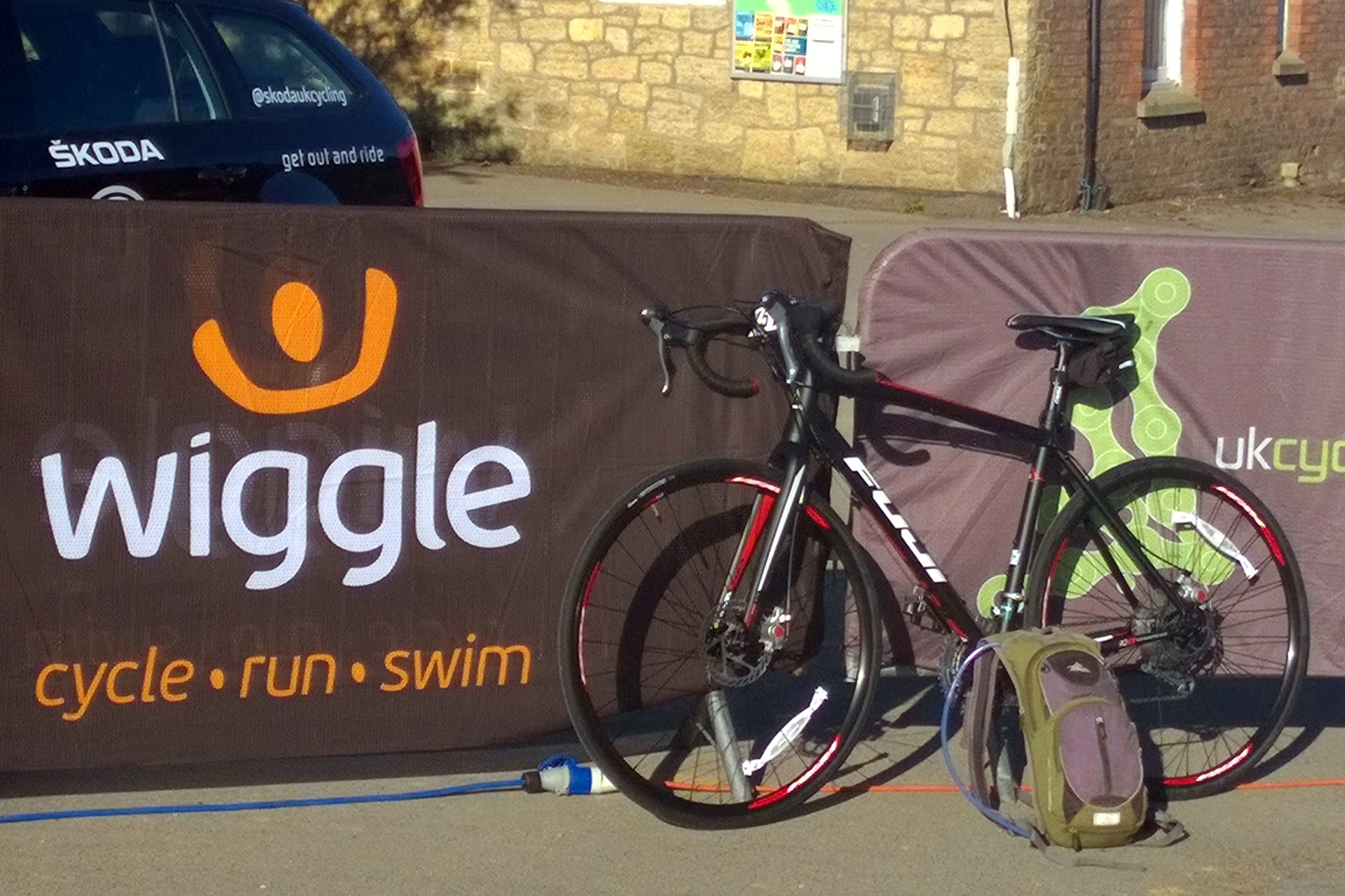
With 1 month to go before the epic Lands-End To John O'Groats (LEJOG) cycle trip, I needed some practice. I'd bought a new road bike 6 weeks before and had ridden a total of 20 miles on it. As much as I loved the bike, I didn't love riding it. Being more of a mountain bike man, the riding position felt all wrong and I just couldn't work out the gears. Today would be 101 miles of getting used to it.
Martyn, a fellow LEJOGger, had done a couple of Wiggle Sportives already. The sportives are long-distance cycle one-day events organised by the on-line sports shop. Martyn gave me some good advice a week before that its best to get there and set-off early. The organisers started everyone in groups of 25 and if you get there late you can get stuck waiting for the crowd to start.
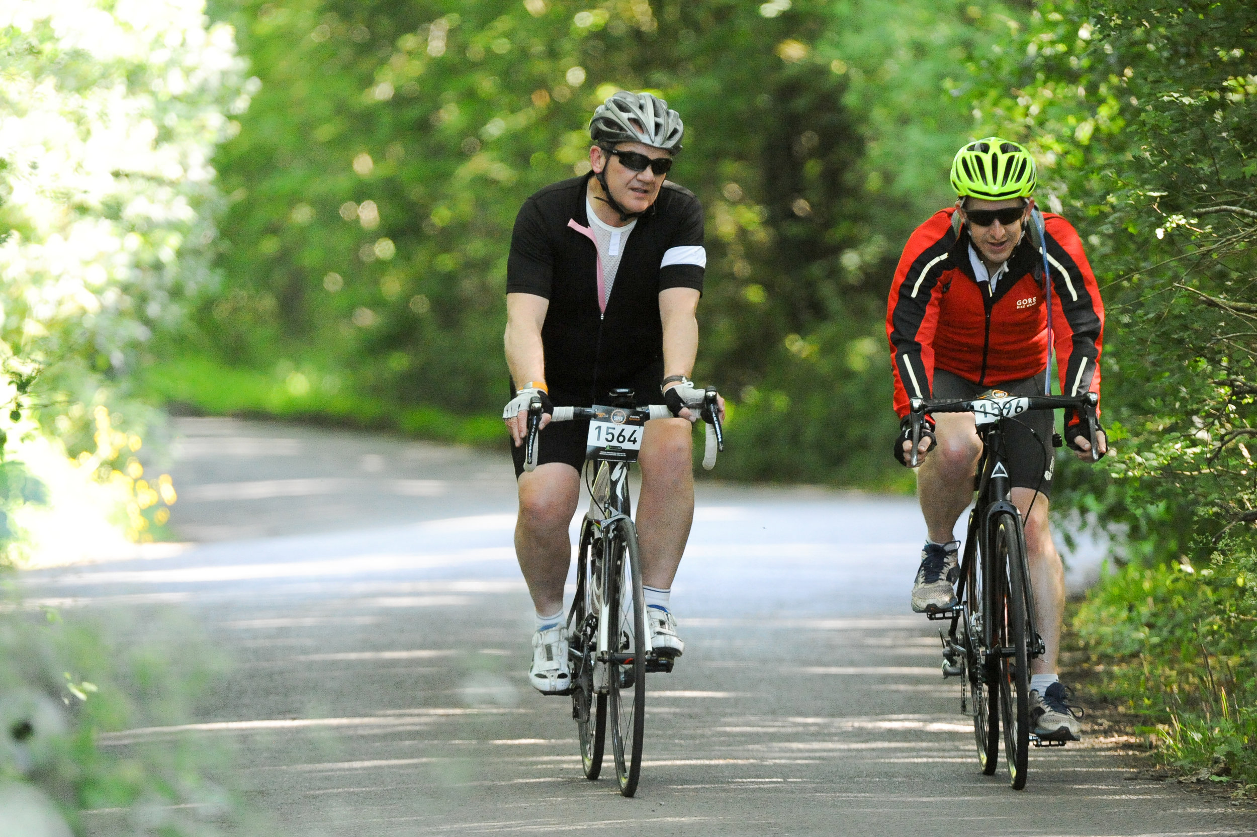
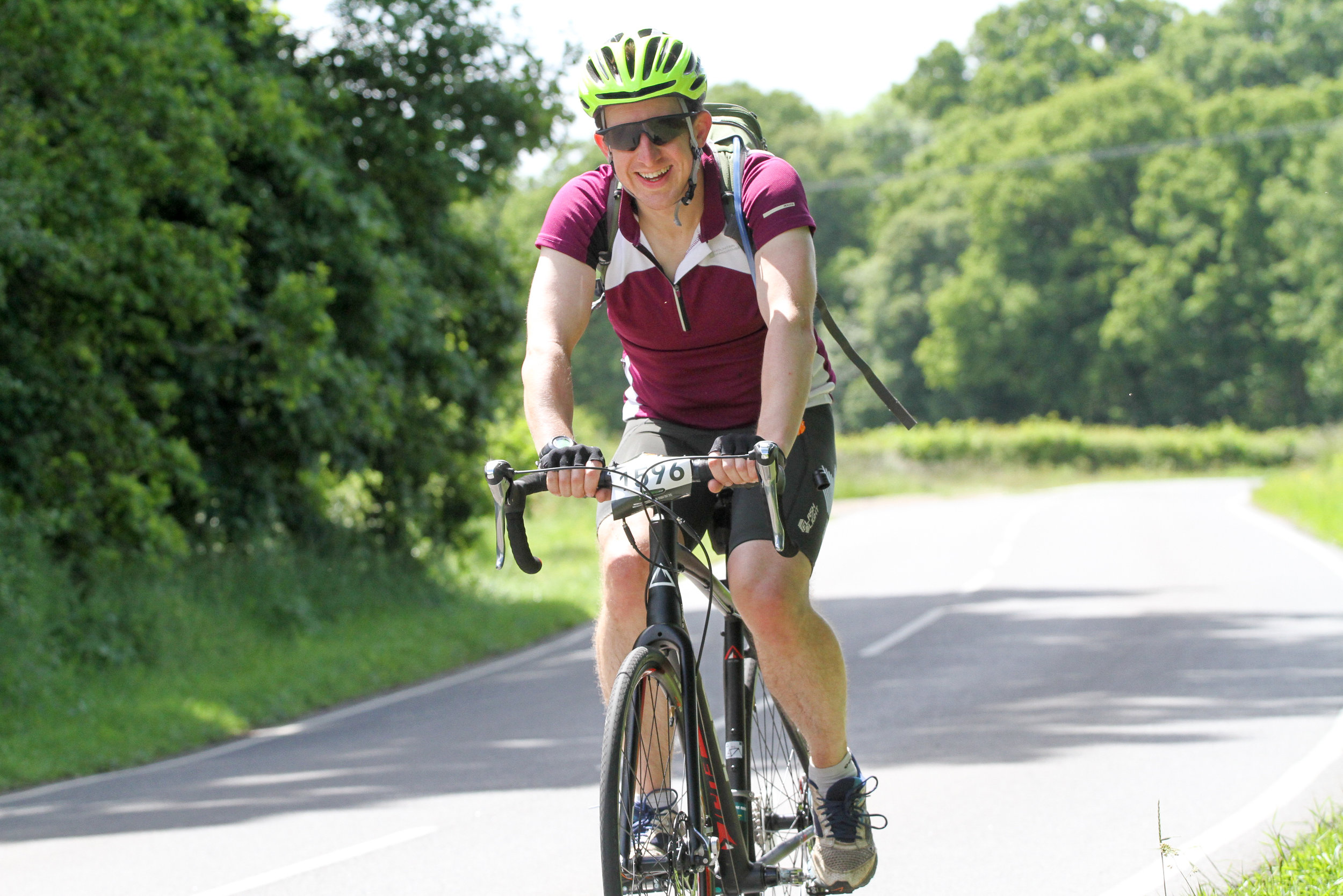
The event had 3 distance options: "Short" at 50 miles; "Standard" at 76 miles and "Epic" at 101 miles. I chose the Epic mostly because I couldn't understand driving so far for an event and only doing a short version of it. It was on the start line that I realised that everyone else on the Epic was really fit. In most organised events I tend to finish in the middle of the pack, but I had a feeling that I would end up nearer the back.
The event was well organised with excellent signage. This was good as I had decided not to take a sat-nave with me. The only tricky bit came around half way when the route crossed with another cycle event that had almost exactly the same direction arrows, just pointing a different way. The big advantage of being slower than nearly everyone else is that getting regularly overtaken was a good sign that I was still on the right route.
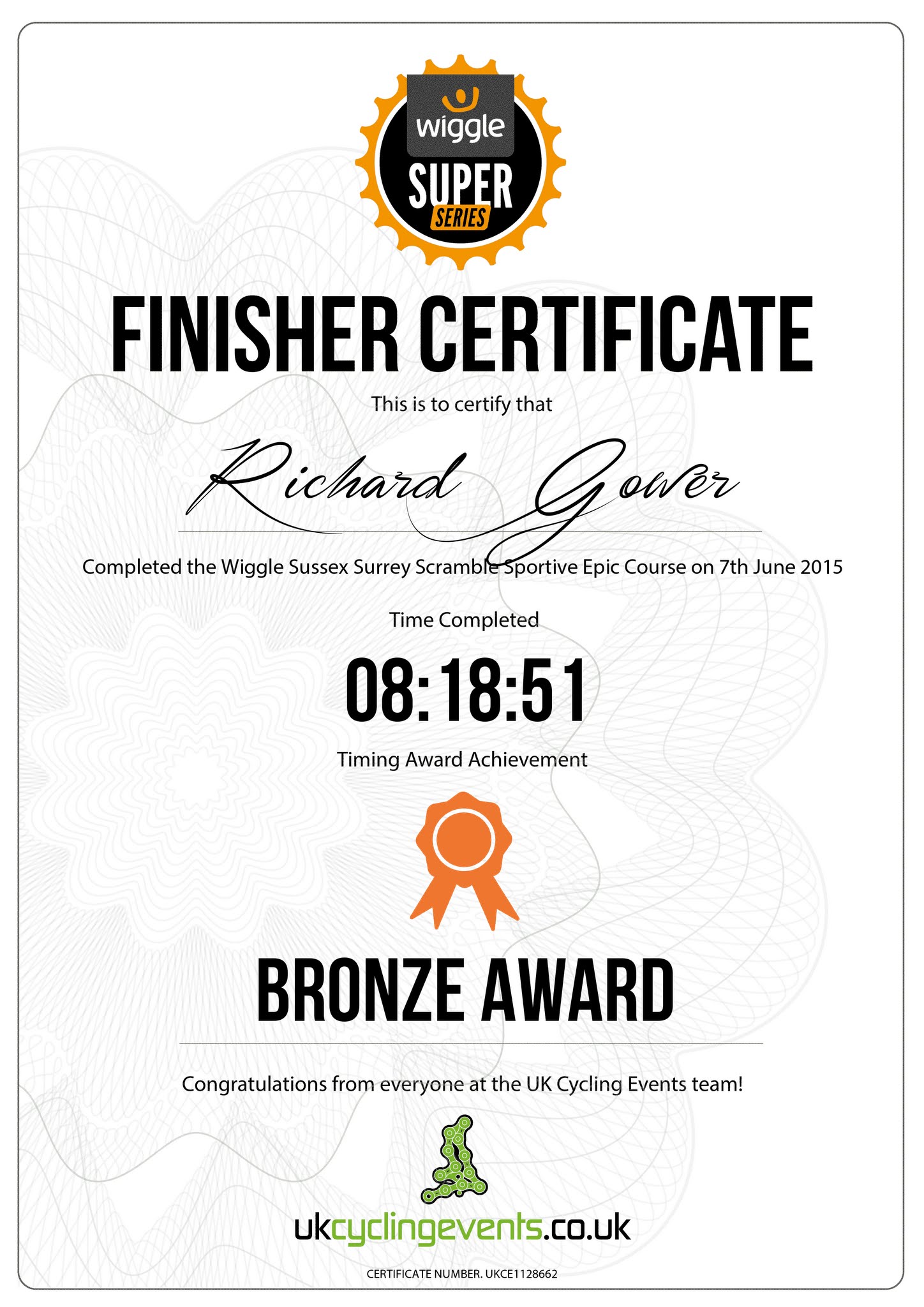
As a practice ride it all worked out well. The new bike did its job and I had over 8 hours to get used to the riding position and how the gears worked. All but 1 of the LEJOG days will be shorter than this and we'll take more breaks during those rides, so I was feeling pretty confident by the end.
My premonition on the start line that I would finish near the end was pretty accurate as the car park was nearly empty by the time I finished. I think that everyone who finished after me either got lost or had a mechanical problem on route.
So, my first Wiggle was a success and I'll remember it mostly for the beautiful route through some amazing South Downs villages. I'm sure I'll be back for more Wiggles.
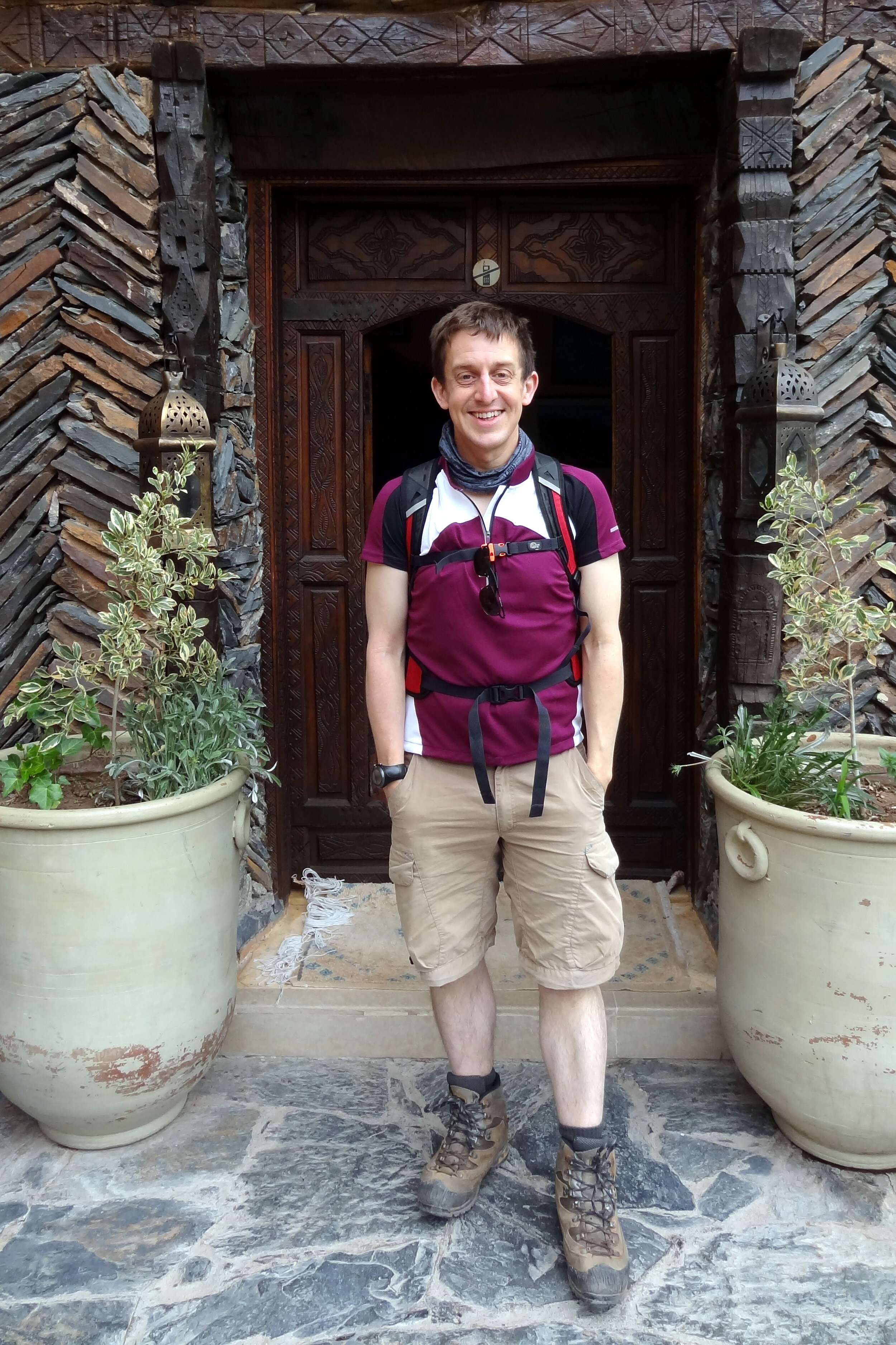
The idea for our Mount Toubkal trip came about 6 months earlier when Timi was making plans for my 40th birthday. Rather than having a big party I wanted to do something special together and Timi found an escorted trip run by Audley, the travel agency we’d used for our honeymoon. From the start I knew that it would be a special trip, not just because it would be a great adventure, but because we would be doing it together. Timi had got more into trekking in the last couple of years but this would be a huge step. At 4,167m, 3 times higher than the UK’s tallest peak, this would be a serious mountain.
Day 1: Imlil to Refuge Toubkal Les Mouflons
Date: May 4th 2015
Start: Kasbah du Toubkal, Imlil, 42152, Morocco
Finish: Refuge Toubkal Les Mouflons
Distance: 10.4 km (6.5 miles)
Elevation change: +1,317m / -20m. Net +1,297m
GPX File: get via Buy Me a Coffee
Other Routes Touched (Cycle): None
Other Routes Touched (Walk): None
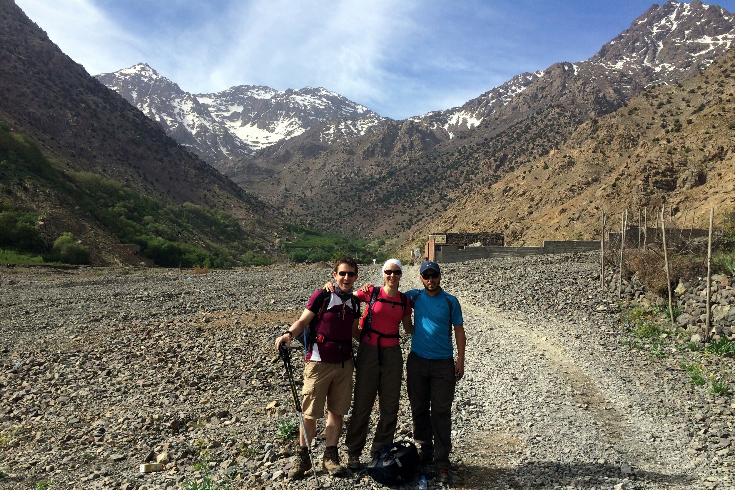
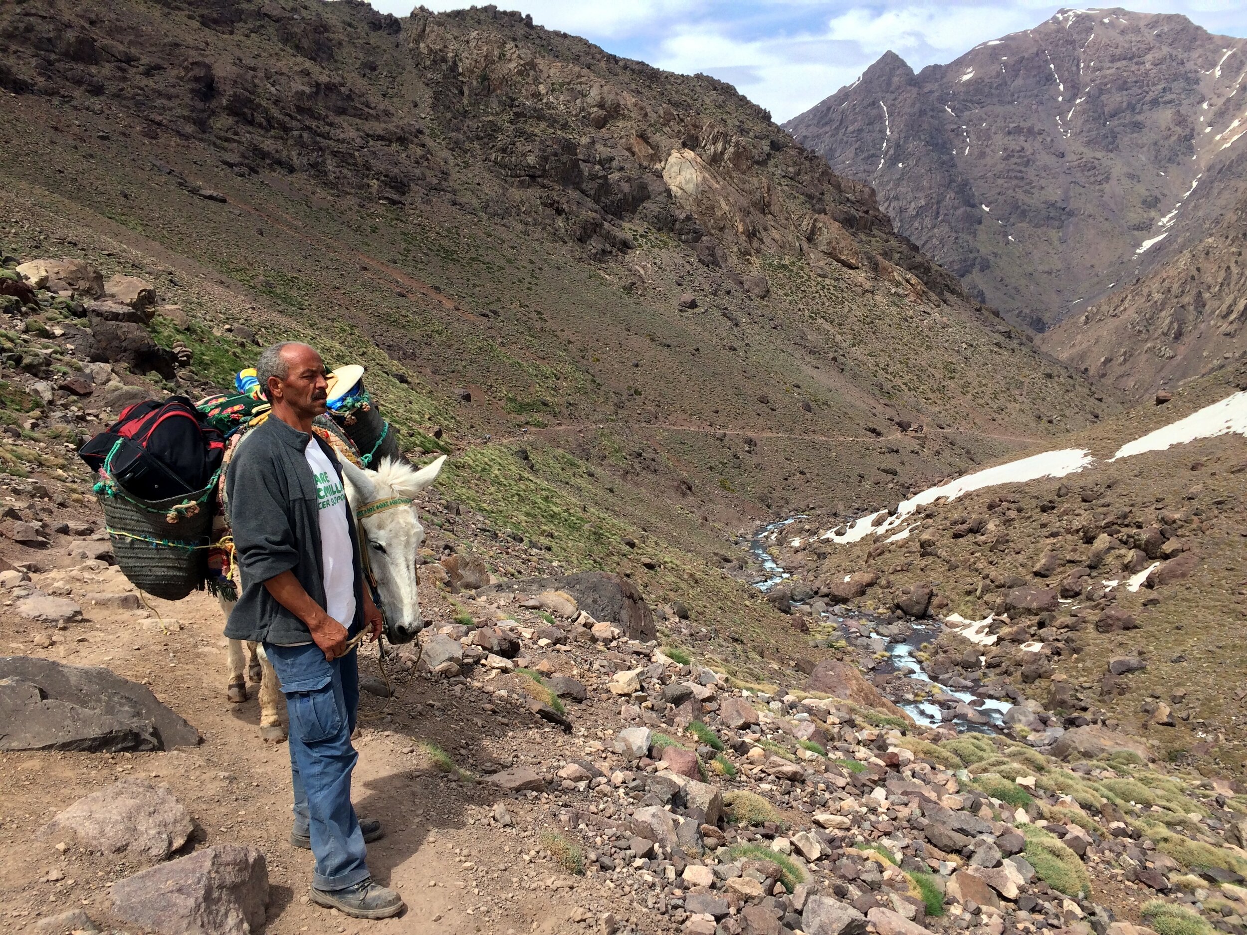
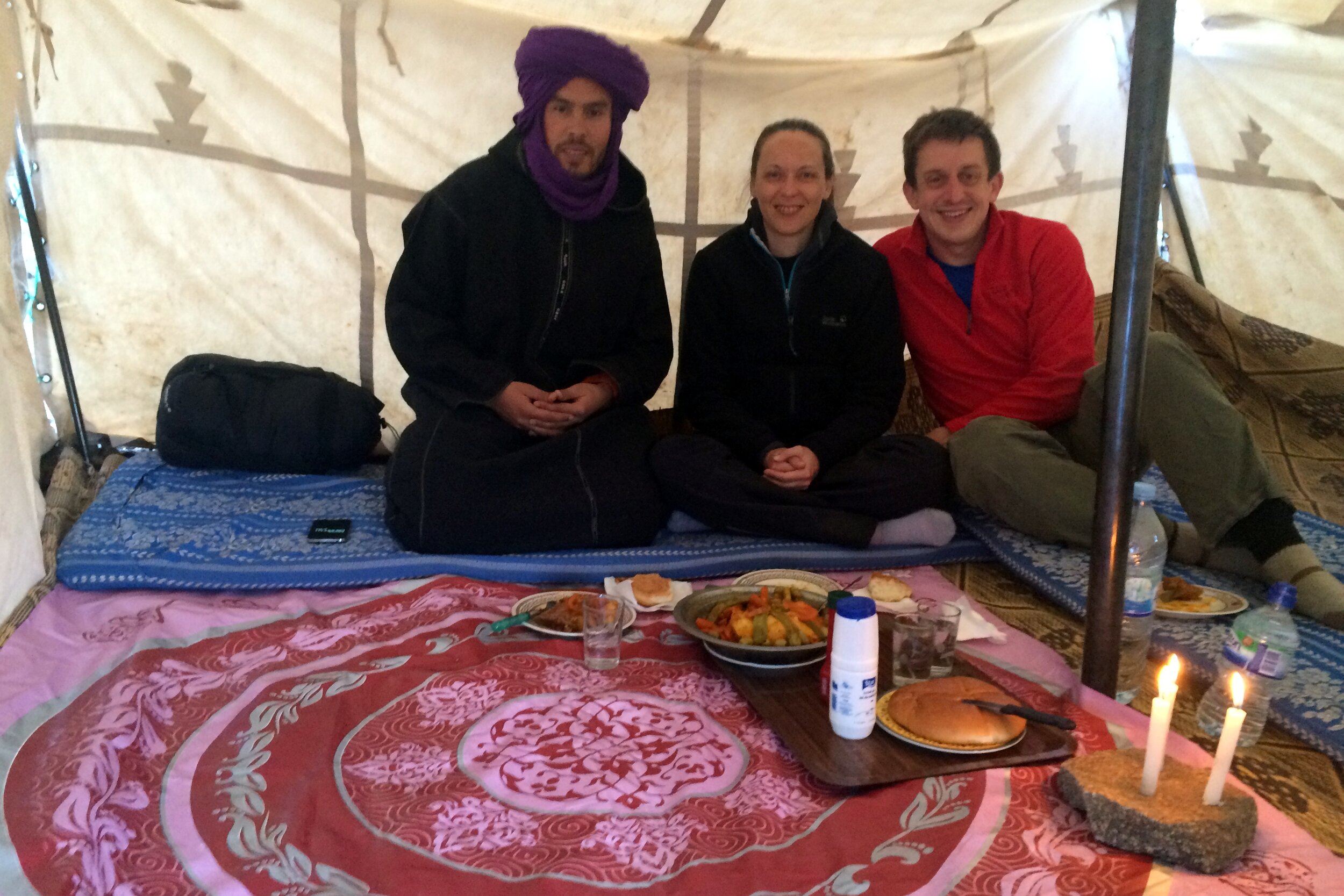
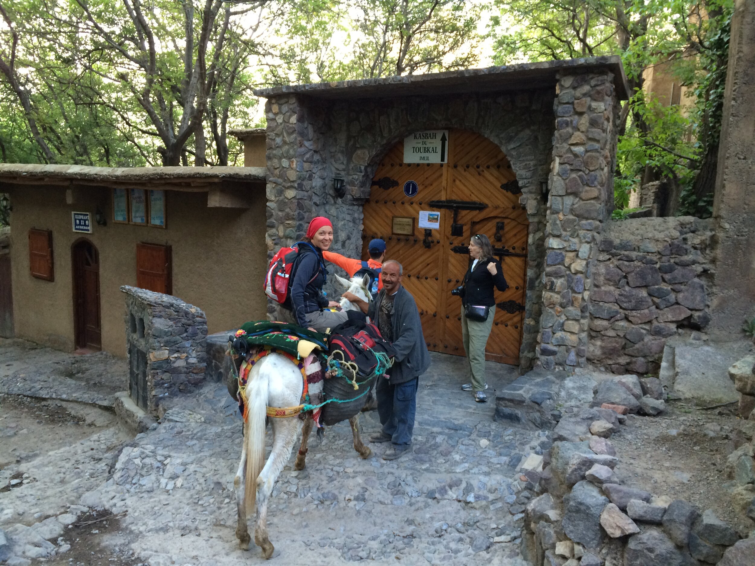
Our trek to the highest point in North Africa started from Kasbah du Toubkal in Imlil, the mountain’s trailhead village. We met our guide Mo at 09:00 on the morning of the trek. Mo introduced us to the team who would be accompanying us up the mountain. This included 5 mules and 4 muleteers who would carry our bags, the food and the overnight camp. Mo plus 1 mule, who we named Terry, and his muleteer walked with us whilst the rest went ahead.
The first day of the trek followed a river up the valley towards Basecamp. We had walked the first hour of it the previous day on an acclimatization hike to Aroumd, the village where the road ends. It was a nice warm day and we walked the 10k in shorts and t-shirts.
We got to know our guide Mo well over the course of the trip. Mo is short for Mohammed which is an Arabic name although he’s actually a Berber. Mo explained that the Berbers are the original inhabitants of much of North Africa and their culture has evolved with the various occupiers over the centuries. Their original name is Amazigh but when the Romans invaded they named them Berbers (“Barbarians”) due to their different language and customs. This naming is linked to the Bavarians in Southern Germany whom the Romans regarded similarly.
When the Arabs invaded in the 7th Century it brought a new language, religion and customs. The French occupation from the 1920s then introduced a third language. Although Mo considers himself to be a Muslim, he prefers to follow the spirit of the faith rather than practice it strictly. In talking to Mo it was clear that he had strong values around people and being honest. These are particularly good virtues to have when you trust your life to someone up a very high mountain.
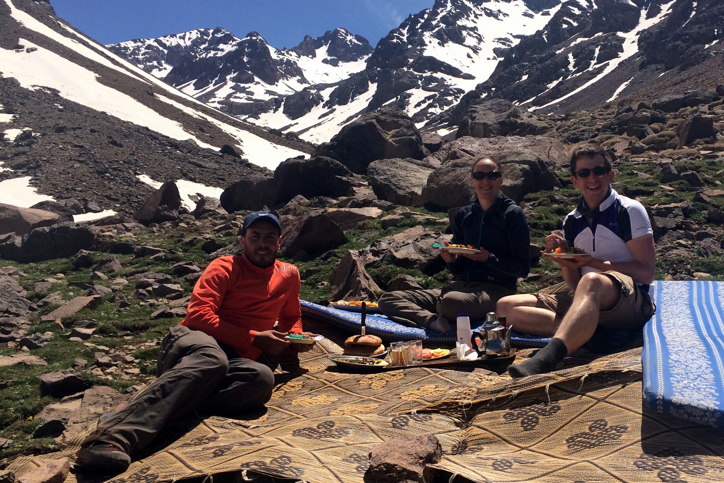
About every kilometre there was a small Berber-run shop selling food, drink and souvenirs to the passing trekkers. We stopped at one of these for lunch which was a very large meal of meatballs, pasta and salad. We chatted to a young guy from Chicago whom we had seen a few times on the way. He was on his own with just one porter to carry his bags. His plan was to walk up to the summit then parachute down whilst filming it on his Go-Pro. His trip was a complete contrast to ours as he seemed to have just turned up without much of a plan, least of all about how his descent would go.
At one stop on route Mo pointed out that many of the mules supporting other groups were heavily overloaded. The 5 mules that carried our gear may sound a lot, but the camping and cooking equipment and the clothing for the trip soon adds up. 2 people’s gear split between 5 mules is a safe weight per animal. Many groups were going up with mules carrying twice our amount. It wasn’t nice to see, especially when we saw one fall over on a tricky corner due to the weight of his load.
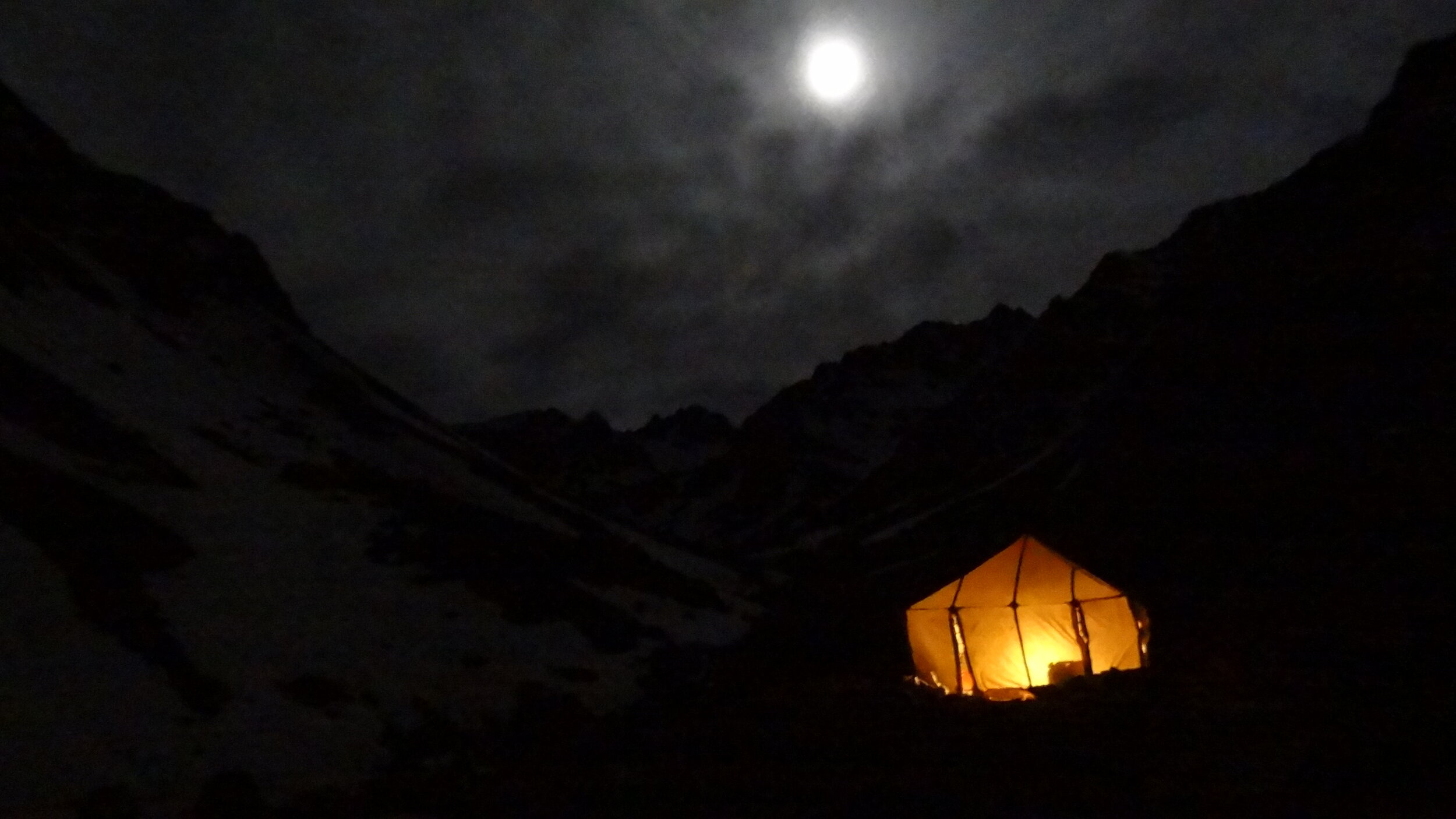
As we approached our camp for the night we were reaching the snowline and the free-flowing rivers and waterfalls were turning to snow and ice. Camp was a flat(ish) area next to the river, just short of Basecamp. When we arrived we rested by the river whilst the muleteers set up camp and prepared the evening meal.
Camp was 5 tents, 1 for us, 1 for Mo, a toilet tent plus a dining tent and a kitchen tent. The 4 muleteers would sleep in the dining & kitchen tents once we’d gone to bed. After another big meal we retired to our own tent for a few hours of restless sleep before the big summit day. The nice surprise of the night was the birthday present that Timi had brought with her and showed me that evening. It was a 15 minute video she had made of birthday wishes from my friends. It was a lovely thought and was really funny.It also made the remoteness of the location feel much closer to home.
Day 2: Refuge Toubkal Les Mouflons to Imlil
Date: May 5th 2015
Start: Refuge Toubkal Les Mouflons
Finish: Kasbah du Toubkal, Imlil, 42152, Morocco
Distance: 17.9 km (11.1 miles)
Elevation change: +1,020m / -2,331 m. Net -1,331m
GPX File: get via Buy Me a Coffee
Other Routes Touched (Cycle): None
Other Routes Touched (Walk): None
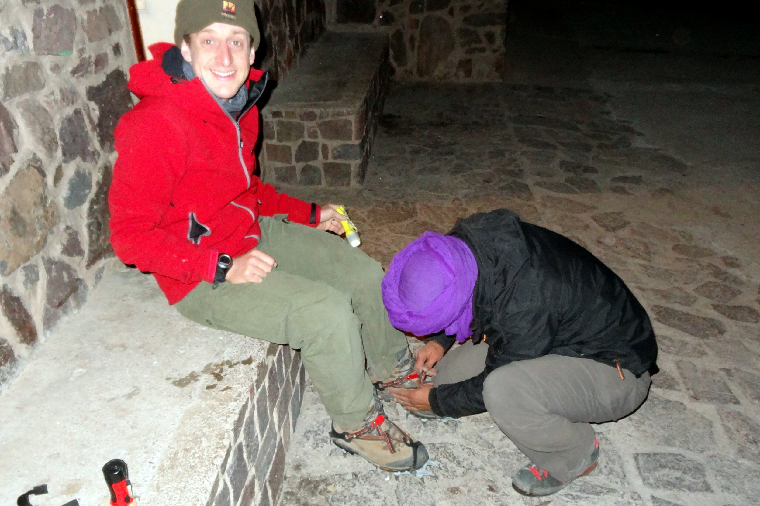
Day 2 started with a 04:00 alarm call and a dark stumble to the dining tent for breakfast. After getting kitted up and with head-torches on we started the ascent at 05:00. In 45 minutes we reached Basecamp, otherwise known as the Neltner Refuge. This is the part where the trail takes a sharp and steep turn to the left away from the river. We stopped for a while to strap crampons to our boots before tackling the snowy slope.
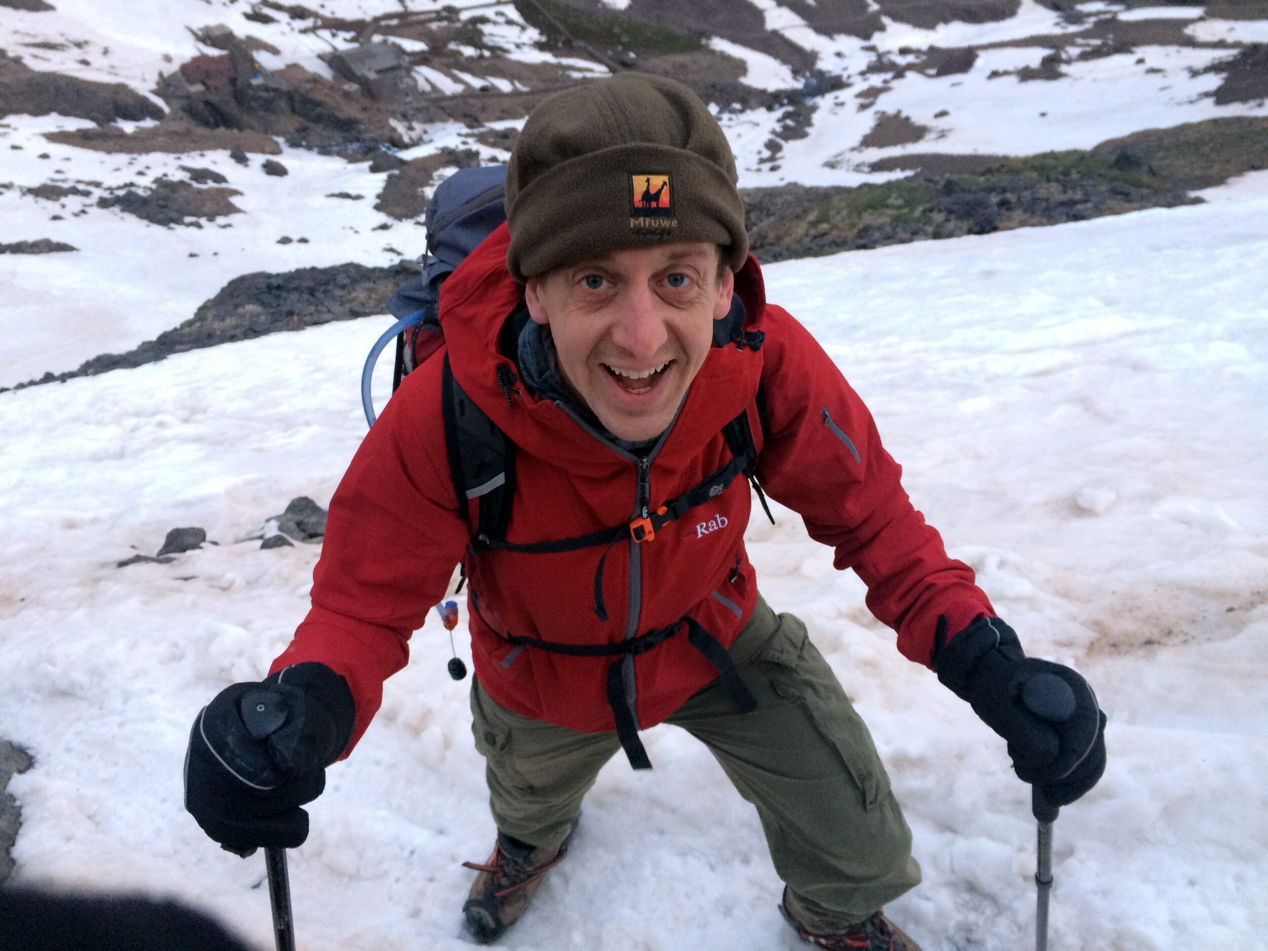
The first section from the Refuge was a hard slog up a kilometre of a steep snowy climb. We were still warming up and waking up and the dark didn’t help either. By the end of this part our energy levels were pretty low. This was the point that was the hardest for Timi and she was questioning whether she could complete the whole climb. A rest on a rock, some water and a bag of Haribo did the trick and we continued again for the next section.
The ascent flattened out a bit and we took another hour to reach the top of the snow and ice. Now we could take our crampons off and walk the rest of the way on rock. This was also the point where the views became stunning as we could now see over the other side of the mountain across the High Atlas and beyond to the Sahara. In the distance we could see the parachute guy who we met the previous day slowly walking down. Obviously the parachute jump didn’t seem like such a good idea from the top.
After another 30 minutes we could finally see the metal pyramid that marked the summit. Toubkal is positioned within a range of other peaks and there’s many twists and turns before you get to the top, so the summit is hidden for most of the trip. Suddenly we could see it, still a long way off but it was a morale booster as we knew we would make it.
The final section was steep and rocky and required careful footwork. There was a particularly scary 10 metre section that was a thin ledge of snow and ice over a sheer drop. Crossing it meant stepping into the compacted footprints in the snow left by the previous walkers. A slip would have been disastrous.
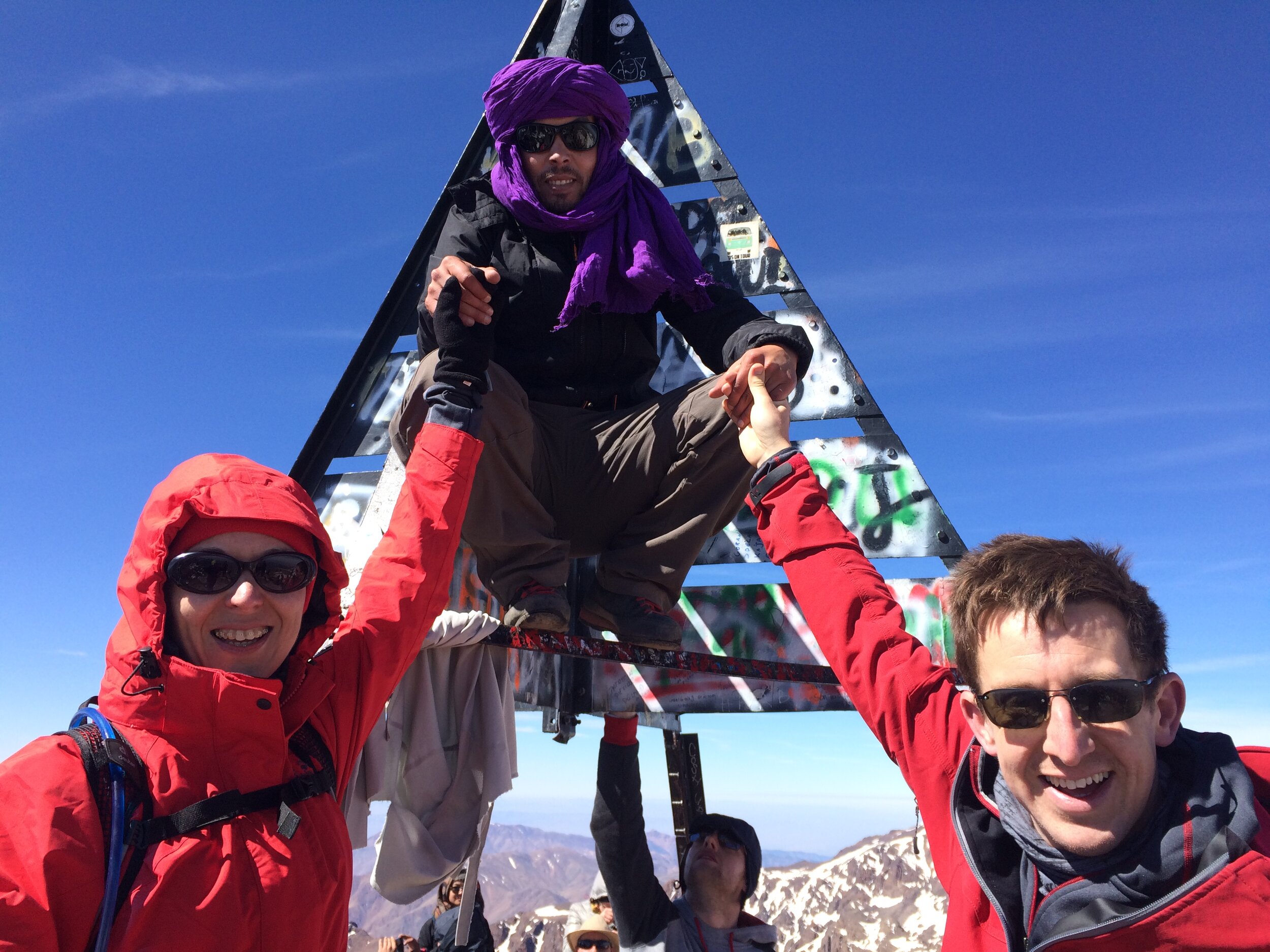
Finally we reached the Summit and entered into quite a party atmosphere of celebrating trekkers. It was really emotional for Timi as the 4 hours of focus and determination gave way to the huge sense of pride and achievement of getting there.
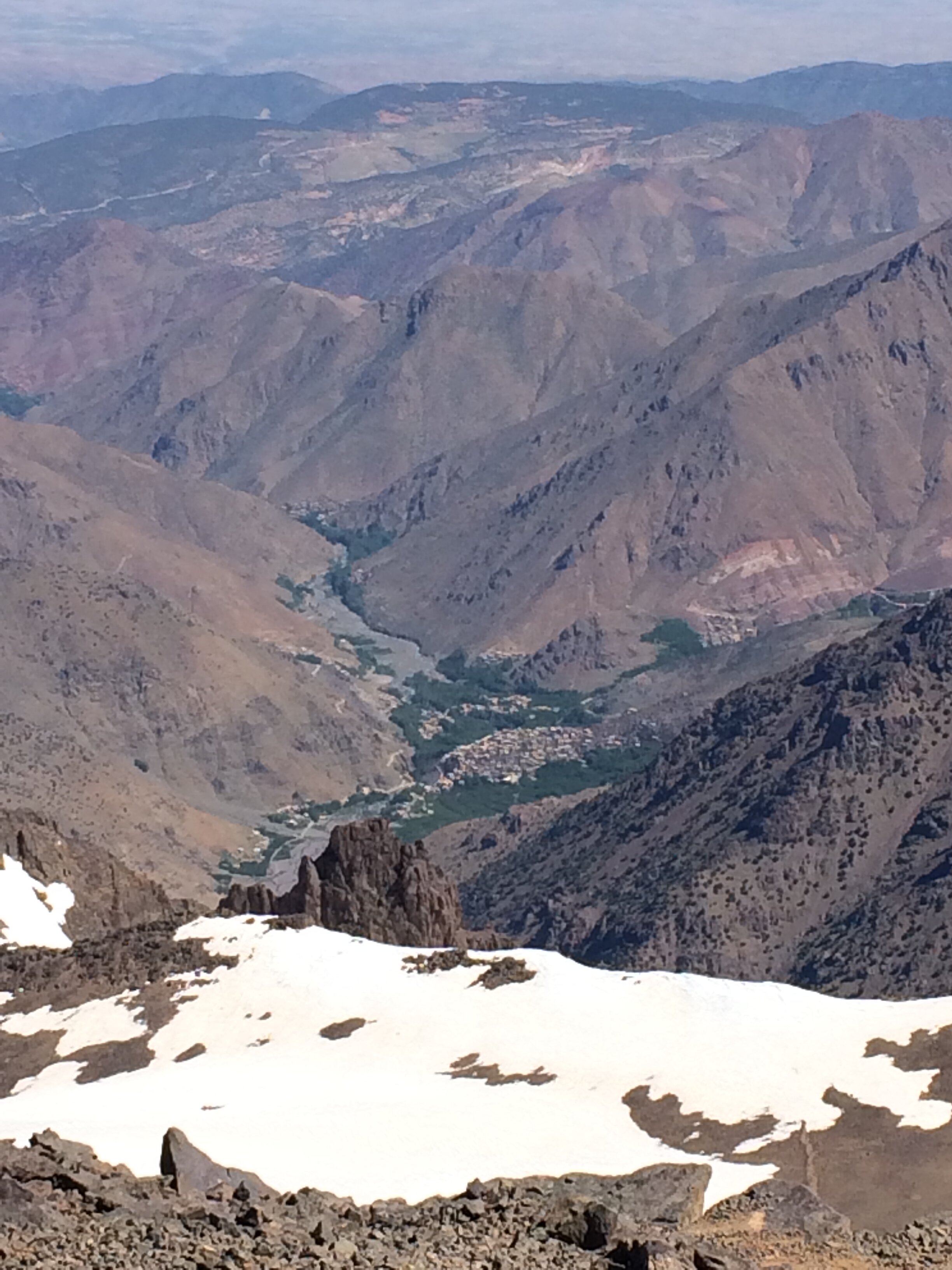
We took some time at the top to take photos, take in the view, rest and have lunch. From the Northern side of the plateau we could see all the way down to the start and end point at Imlil. It was a very long way in the distance and a daunting prospect as we would have to get all the way back down there before the evening.
As we ate lunch and looked across to the other Mountains, Mo told us stories of helicopter crashes in the area. I’m not sure if it was the best time for such stories, but they were interesting nonetheless. One crash happened only a few months ago when a helicopter was called out to rescue a distressed trekker and it hit the side of the mountain. Mo also told us of another story going back to the 1980s of an American Military helicopter crashing into the mountain during the winter. It was carrying weapons and money and was only found the following spring. The story is that the locals “retrieved” the contents and although the government got the weapons, the money was never seen again. There’s a rumour that the money found in the crash was used to fund the renovation of the Neltner Refuge. The descent was significantly easier and started off well. We were nervous about going back over the scary icy section but Mo took us a different way that avoided it. After about 20 minutes Timi was feeling pain in her knee. Mo had a knee support handy which helped a lot but it was still a worry as there was a lot of down still to go.
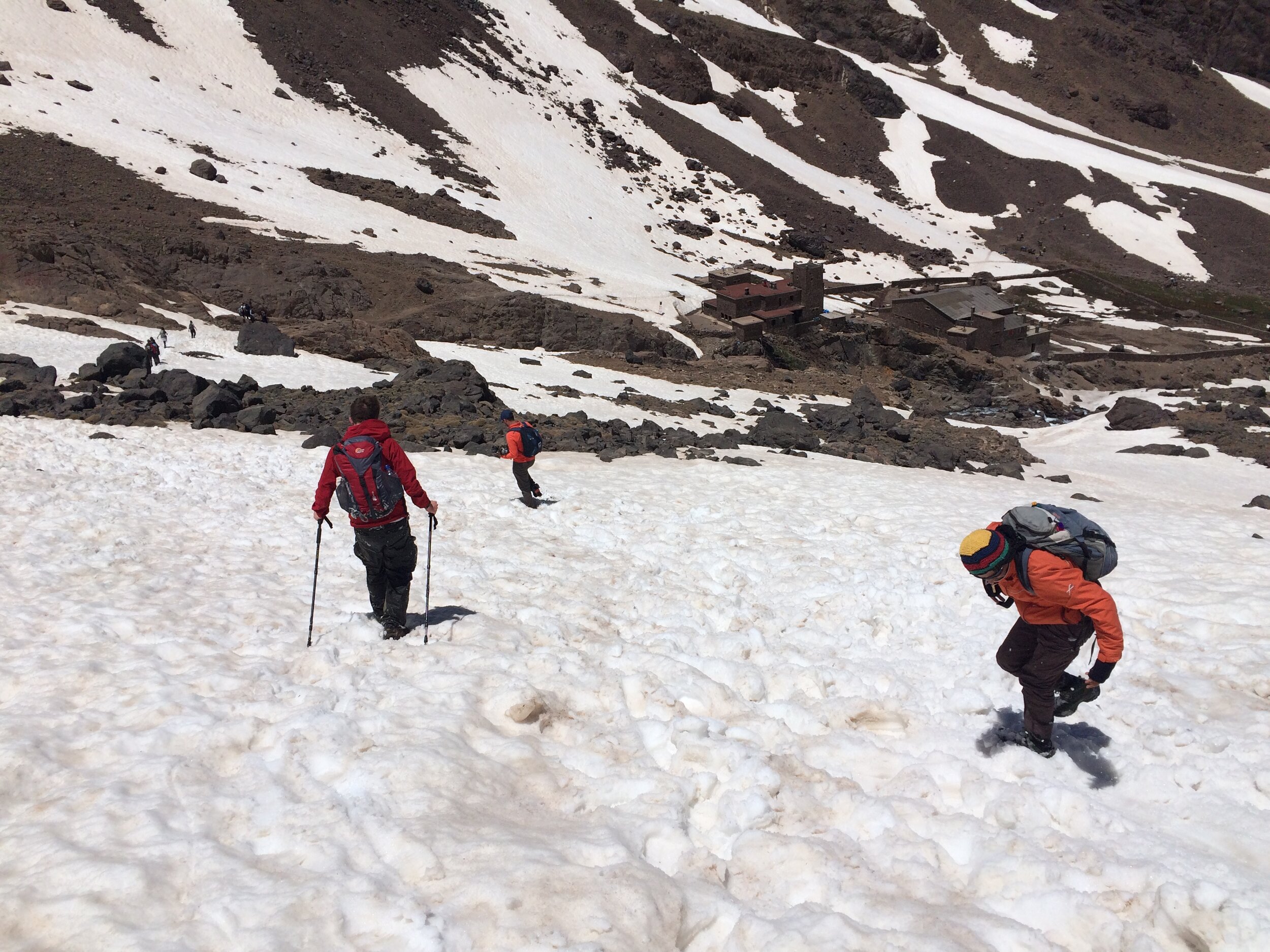
We reached the snowline again and Mo decided that we didn’t need to put the crampons back on. I wasn’t sure if this was a good idea as the first section was steep and I’m a bit nervous of slippery descents. Mo helped us down the tricky bits until it flattened out. Then came the fun part. Previous trekkers had created toboggan runs in the snow that were easy to follow. All we had to do was sit down in them, put our feet up and let gravity do the rest. We were able to take these runs down all the way to the Refuge. It was fun and exhilarating and was a great way to get down without putting pressure on Timi’s knee. We made the total descent to the Refuge in just over an hour, a quarter of the time it took to walk up.
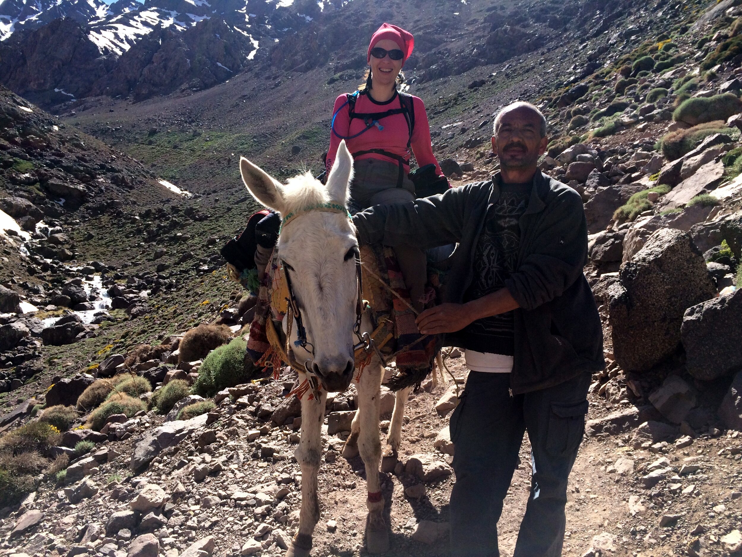
After a late lunch at our camp it was time to walk back to the Kasbah. Timi swapped walking for mule riding and she and Terry (the Mule) headed down the rocky path with Mo and the muleteer in front and me behind. The mules are amazing in how they can negotiate the uneven, often steep, trails with a fully laden pack. At a fast pace we were back down in 3 hours, arriving back at the Kasbah just before 19:00.
The rest of the evening was short. Despite being hungry and less than 100m from the dining room, we couldn’t find the energy to walk anymore and went straight to bed. All-in-all, a long, challenging, exhausting, exciting, fun and inspirational day.
Reflecting back on the trip a few weeks later, it was exactly the right way to celebrate my 40th birthday. Getting older doesn’t bother me as long as I’ve made the most of the time that I’ve had so before. So far I’ve loved all of it.
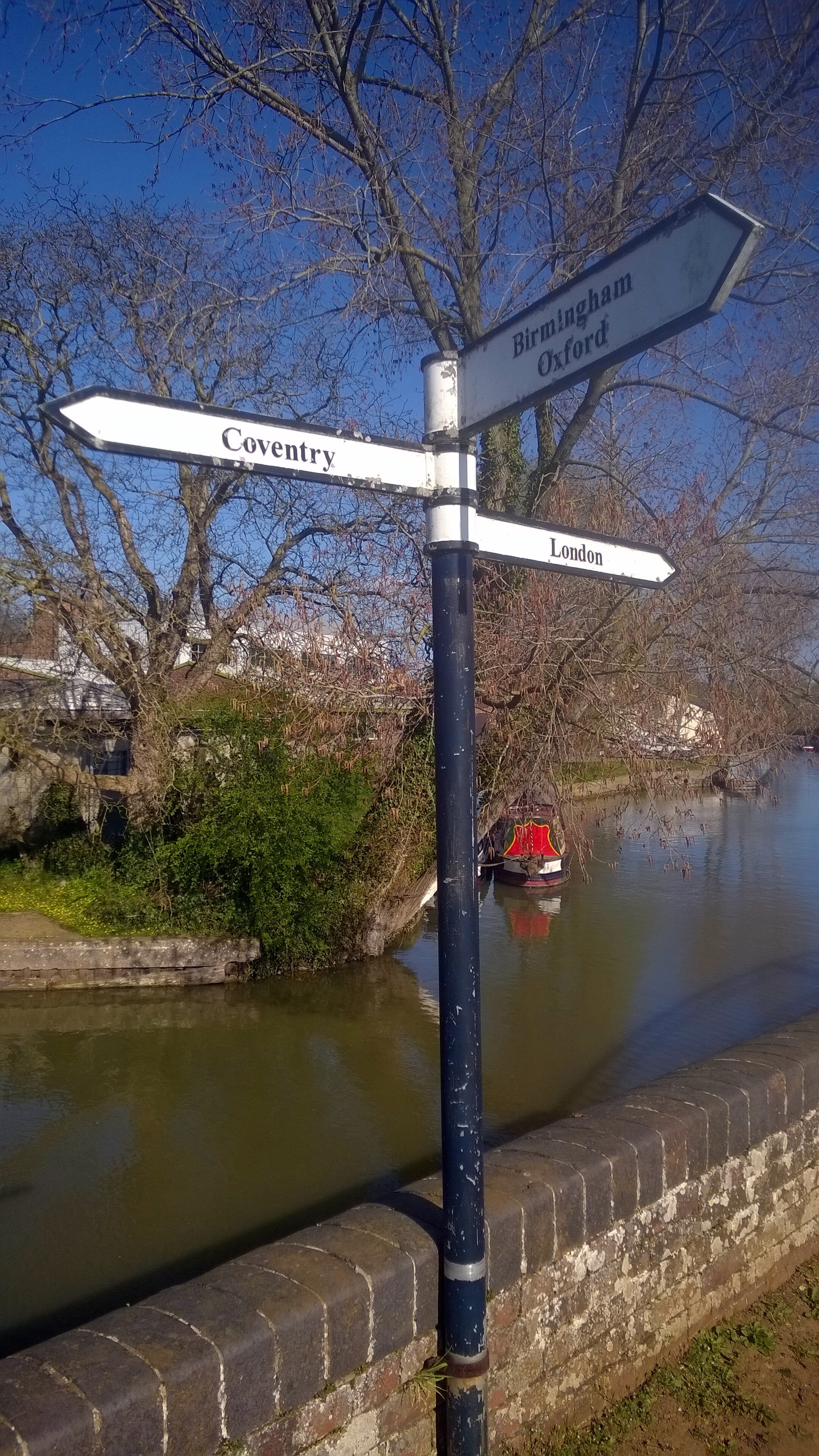
Braunston Junction
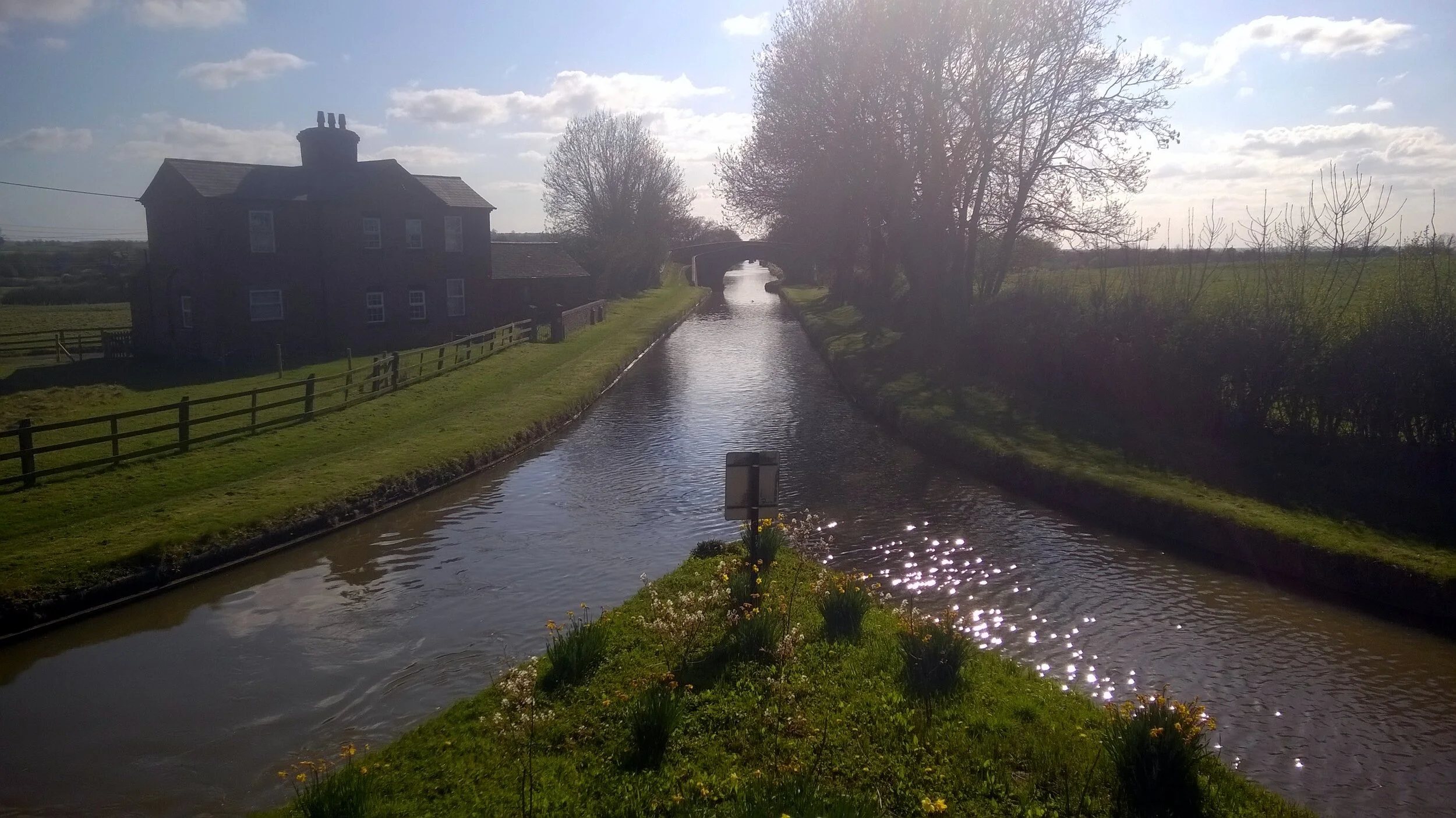
Starting an 85 miles off-road cycle ride with an epic hangover probably wasn’t a great idea. The 2-day, 150 mile, Grand Union Canal cycle trip was tough enough anyway.
The trip was the main training weekend for the Lands End to John O’Groats trip in July. The plan was to travel up to Birmingham on the Friday night, start cycling on the Saturday morning, and arrive at the end-point in London with an over-night stay in Milton Keynes. That was the plan anyway. Six of us started, one of us finished.
Day 1: Birmingham to Milton Keynes
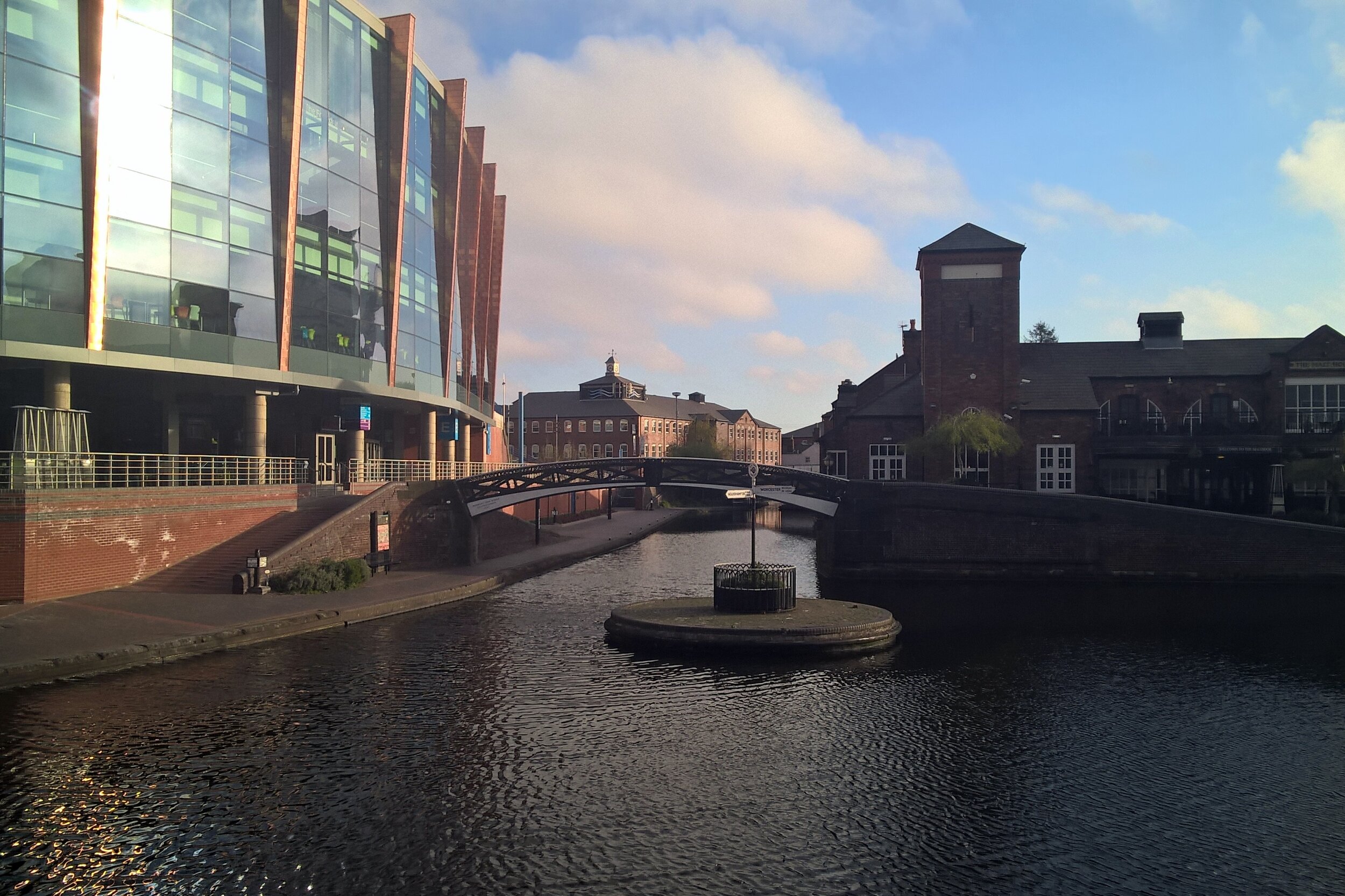
Start: Old Turn Junction, Birmingham, B1 2HL
Finish: Campbell Park, 1300 Silbury Blvd, Milton Keynes, MK9 4AD
Distance: 128 km ( 80 miles)
Elevation Change: + 696m / - 766m. Net -70m
GPX File: get via Buy Me a Coffee
Other Routes Touched (Walk): Grand Union Canal Walk, Millstream Way, Millennium Way, Heart of England Way, Shakespeare’s Avon Way, Centenary Way, Oxford Canal Walk, Jurassic Way, Nene Way, Macmillan Way, Midshires Way, Ouse Valley Way, Swans Way
Other Routes Touched (Cycle): NCN 41, 50, 5, 51, 535, 6 / Hanslope Circular Ride
Maps:
- OS Explorer Map (220) Birmingham, Walsall, Solihull and Redditch
- OS Explorer Map (221) Coventry and Warwick, Royal Leamington Spa and Kenilworth
- OS Explorer Map (222) Rugby and Daventry, Southam and Lutterworth
- OS Explorer Map (223) Northampton and Market Harborough
- OS Explorer Map (207) Newport Pagnell and Northampton South
- OS Explorer Map (192) Buckingham and Milton Keynes
The Friday night in Birmingham was the first time the “Lands-End 6” had got together. I got a bit over excited by the event and had a bit too much wine, hence the hangover the next day. This was very much a learning weekend for the group and I had learnt my main lesson very early on.
On Saturday morning we headed off in 2 groups. Neil and I started first, getting to the official start at Salford Junction early so we could take a detour to Edgbaston for Parkrun. The other 4 were just behind, not feeling the need to do a 5k run on top of the 85 miles that day.
The run was fine, a nice park with a friendly crowd, and would have been perfect if my head wasn’t about to explode half-way. By 10:00 we were back on the canal, heading towards the others who were at least an hour further on.
After a promising start, we soon hit a diversion where the towpath was closed for maintenance. A quick look at the guide-book reassured us that we could do a small detour by road then get back on the canal at the next bridge. Somehow we ended up cycling aimlessly around grotty industrial estates before 2 kind ladies took pity on us and helped us get back on track.
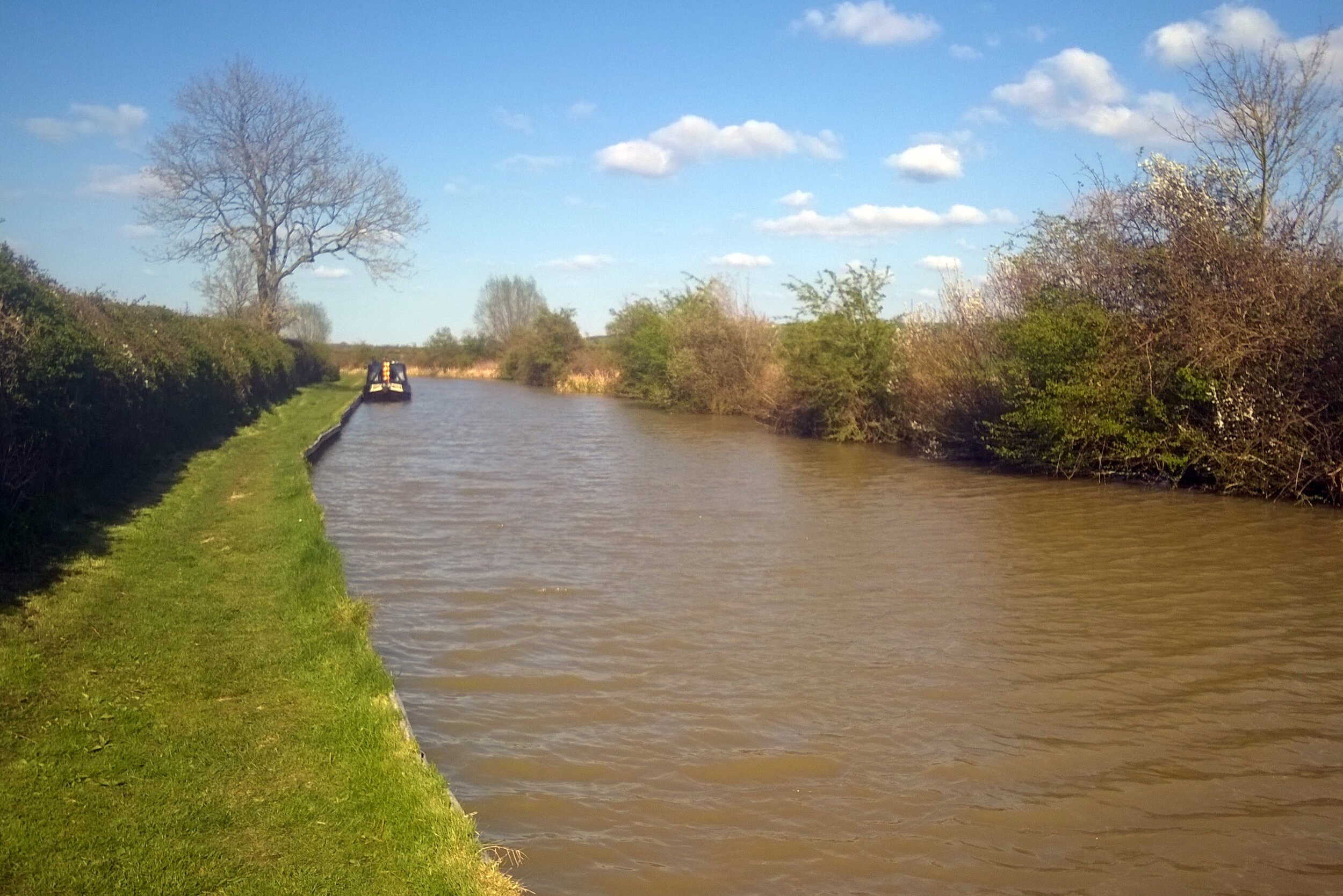
Given their head-start we didn’t expect to see the other group until very late in the day or until the end. We actually caught them up just after lunch about 40 miles in, mending what turned out to be Martyn’s second of seven punctures. We had hit a grassy 15 mile section where the hedge had recently been trimmed. The thorns which were previously part of the hedge were now covering the towpath and were finding their way into everyone’s tyres.
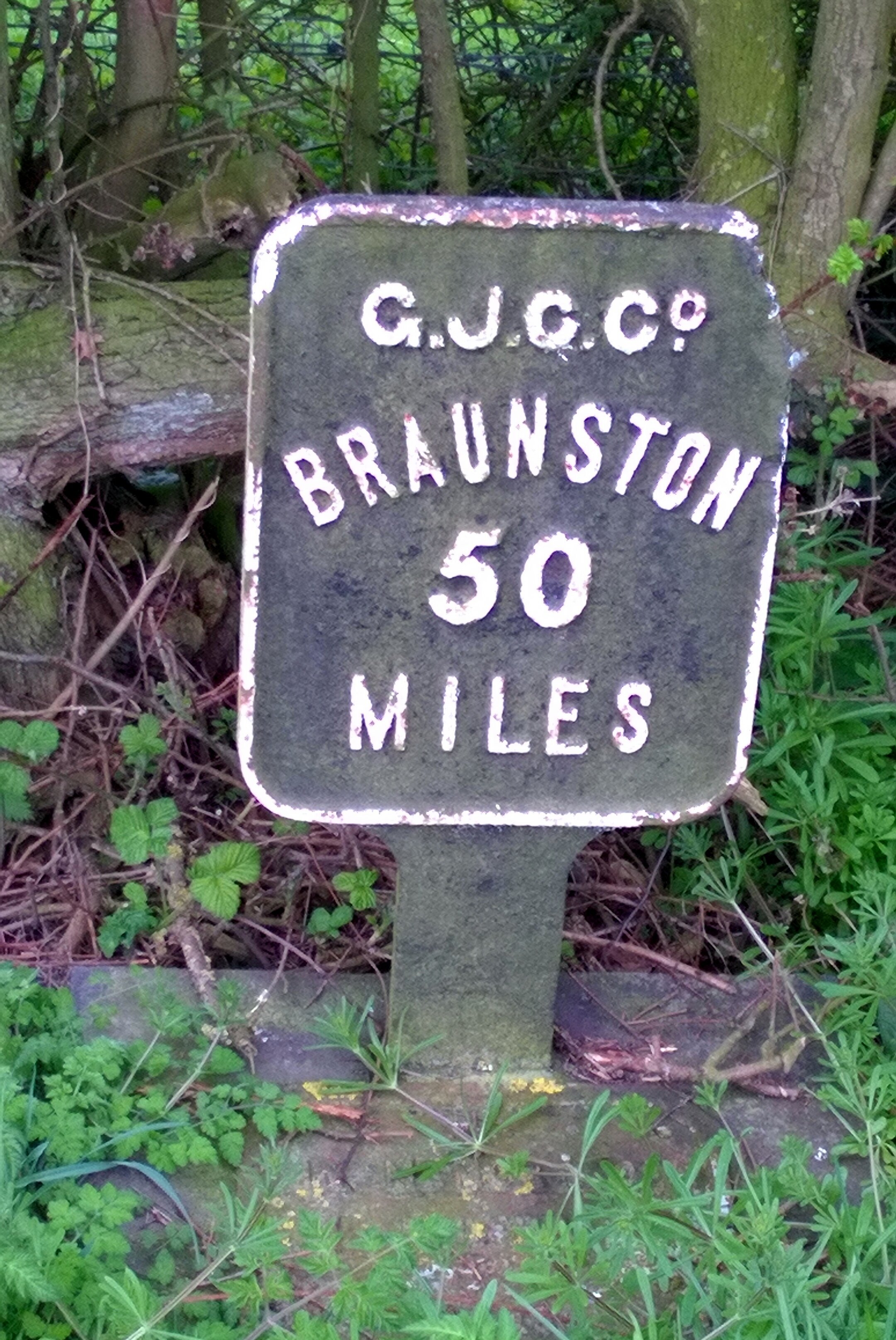
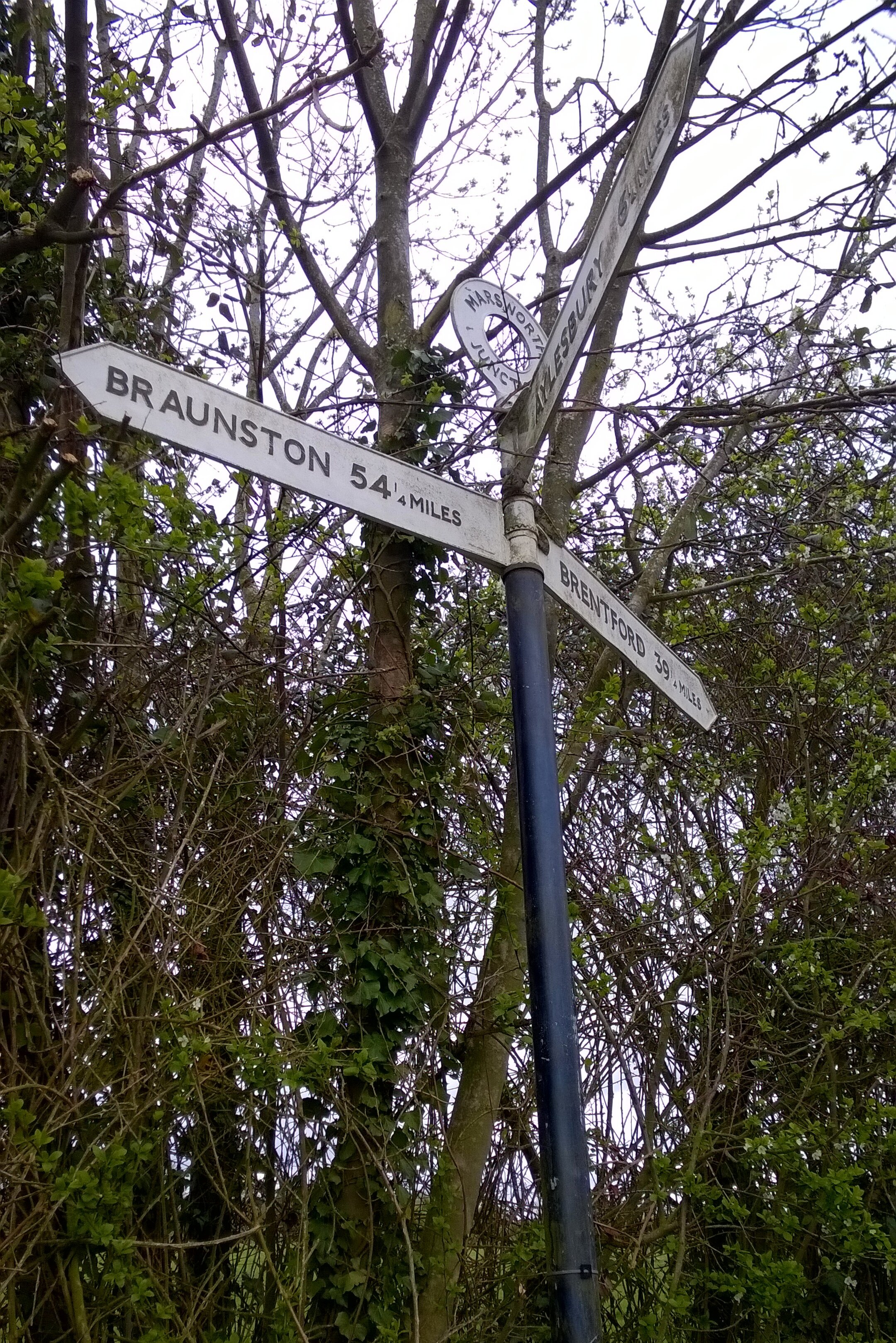
The next 3 hours were an inner-tube bloodbath with another 14 punctures across the group. Every time one was fixed we would set off again and someone else would get a flat. It wasn’t long before Brian had the great suggestion of splitting into 2 groups of 3. That way 1 group could make some progress whilst the other fixed punctures. I went ahead with Neil and Reggie and made it 3 miles short of Braunston Junction before Neil’s last inner tube blew. He was in no mood to repair it so walked the bike the final few miles to meet us at the pub at the end.
By now it was clear that we needed a Plan B. The other group was still 8 miles back and not making much progress. They had already decided to come off the canal and take the roads to Milton Keynes. We were further ahead, but had no spare inner tubes for Neil’s bike. His wheels were a different size to Reggie’s and mine so his only option was to get a taxi to Halfords in the next town and stock up on tubes.
By 18:30 we were back in action with 30 miles via roads to the hotel in Milton Keynes. With only 1 more puncture on the way we made it to the hotel by 21:30. The other group had made it there shortly before and had already made it to the bar ready for beers and a post-ride debrief.
Day 1 Elevation
Day 2: Milton Keynes to Brentford
Start: Campbell Park, 1300 Silbury Blvd, Milton Keynes, MK9 4AD
Finish: The Brewery Tap, 47 Catherine Wheel Rd, Brentford, TW8 8BD
Distance: 95.4 km (59 miles)
Elevation Change: +392m / -460 m. Net -68m
GPX File: get via Buy Me a Coffee
Other Routes Touched (Walk): Greensand Ridge Walk, Two Ridges Link, The Ridgeway, Chiltern Way, Hertfordshire Way, Colne Valley Trail, Hillingdon Trail, London Loop, Beeches Way, Shakespeare’s Way, Capital Ring, Thames Path
Other Routes Touched (Cycle): NCN 6, 61 / Tring Route 5, Berkhamsted Route 6, Chilterns Cycleway
Maps:
- OS Explorer Map (192) Buckingham and Milton Keynes
- OS Explorer Map (181) Chiltern Hills North
- OS Explorer Map (182) St. Albans and Hatfield
- OS Explorer Map (172) Chiltern Hills East
- OS Explorer Map (160) Windsor, Weybridge & Bracknell
- OS Explorer Map (161) London South, Westminster, Greenwich, Croydon, Esher & Twickenham
- OS Explorer Map (173) London North, The City, West End, Enfield, Ealing, Harrow & Watford
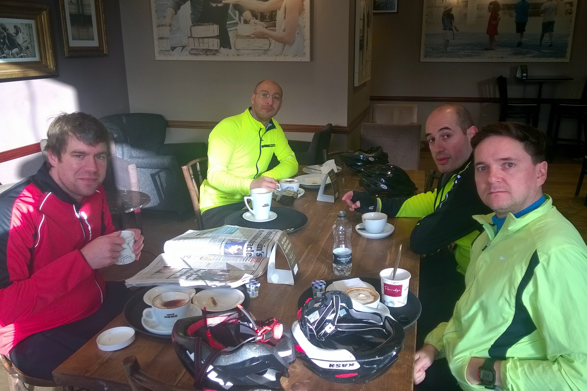
It because clear very quickly that I was going to be on my own for Day 2. The others had got through all of their inner-tubes and continuing along the towpath would have been too risky. It was also a Sunday so waiting for the Bike shops to open would have meant too late a start. No-one seemed too bothered though as the prospect of a leisurely breakfast and an on-road cycle to the nearest train station was more appealing than another day in the saddle.
That night I slept so deeply that I had no idea where I was or what day it was when I work up. For 5 minutes I was convinced that I was on a business trip and it was a work day. Fortunately that turned out not to be the case, but I did have 60 miles of cycling before Brentford.
The towpath from Milton Keynes turned out to be significantly better than our Day 1 experience. Apart from a couple of grassy miles near Leighton Buzzard, it was a solid and thorn-free route all the way. I made good progress, reaching Berkhamsted by noon where Rob, a colleague who lives there, joined my for the final 35 miles.
This last section was on home ground for me and I’d cycled or ran many parts of it before. We reached the end of the canal at Brentford Lock just after 16:00. As with the start of the canal at Salford Junction, the end was quite underwhelming. Despite these being the start and end point of one of Britain’s engineering masterpieces, there was barely anything to celebrate the achievement.
As a learning experience the weekend did its job. The group had its first long distance cycle trip together and got good experience in puncture repairs, what not to pack and in adapting when things go off plan. I didn’t get the puncture repair experience, but I did learn not to ride 85 miles on a massive hangover.
Day 2 Elevation
The Complete Route
The full 2-day route (excluding diversions)
The Movie
Tips for Cycling The Grand Union Canal
The Route
End-to-end the canal is ~150 miles and makes a challenging 2 day or a more leisurely 3 day trip. For either option I recommend Birmingham to Braunston (approx 50 miles) as the target for Day 1. This is the toughest section with the highest chance of punctures so planning to go any further is risky. Braunston is a major junction on the canal and all milestones from London point to it so it makes a good target for a single day. On a 2-day trip Braunston to Brenford is very long but significantly easier than Day 1 due to better paths. For a 3 day trip, Leighton Buzzard is a good Half-way point between Braunston and Brentford.
The Bikes
A mountain bike is essential for this trip due to the "rural" surface for much of the first section. If you can avoid the few weeks after hedge-cutting it will cut down on punctures, but you should expect to get some. Make sure you have good tyres with a healthy tread and ideally use a puncture-proof set. I used Slime inner-tube which self-seal around most punctures. I'm sure that this was a major reason why I was the only one one the group not to get a puncture on the whole trip. Take at least 2 spare inner tubes plus tyre levers etc.
Food and Drink
There's large stretches of the canal without pubs or shops. Although you'll get to a pub eventually its essential to carry enough water and snacks to keep you going.
Here's a couple of recent mentions of the Growlerthon fundraising campaign. First one is a nice mention on the Thames Hospice Facebook Page and the second is an article in Marsterpieces, the Mars UK internal newsletter
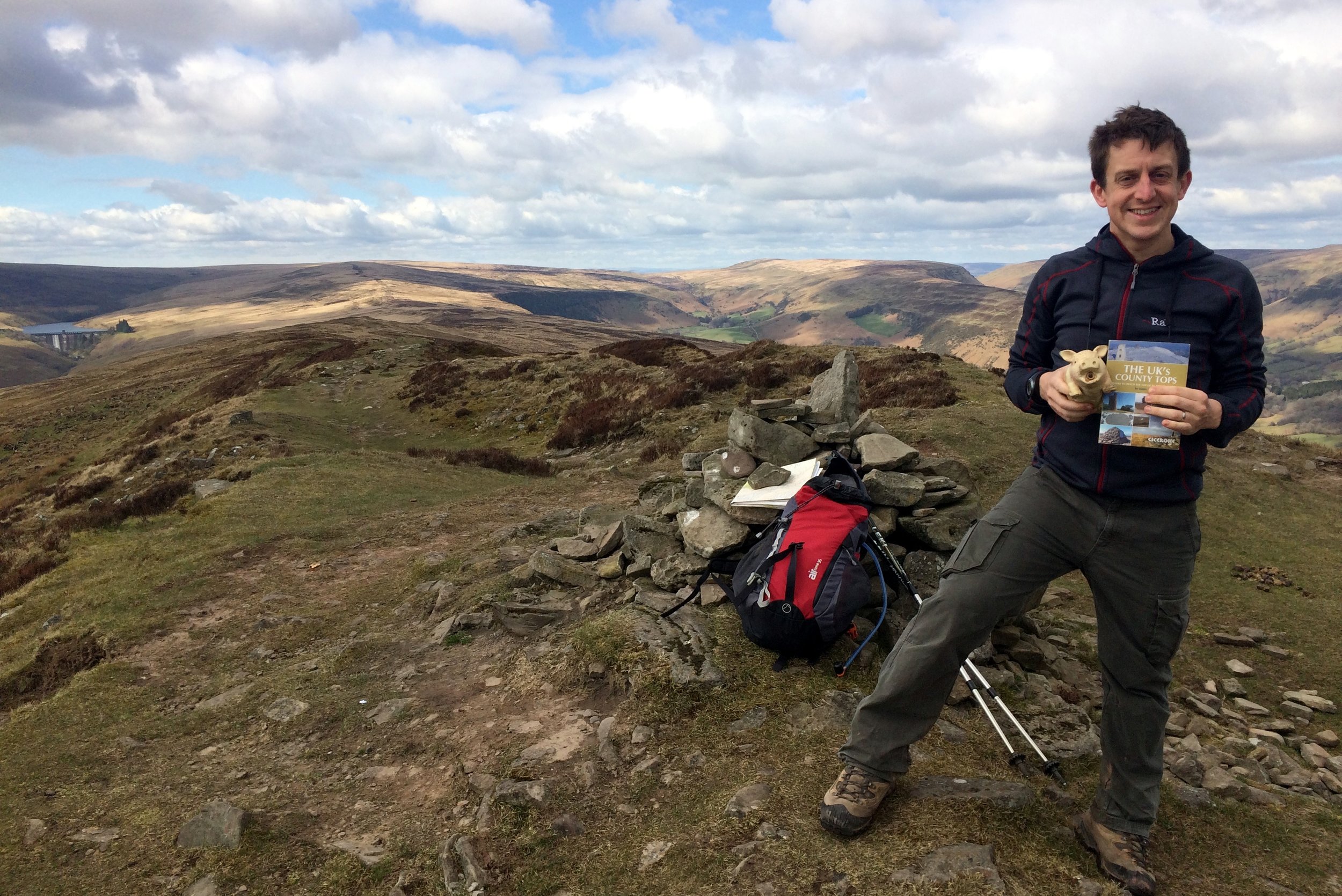
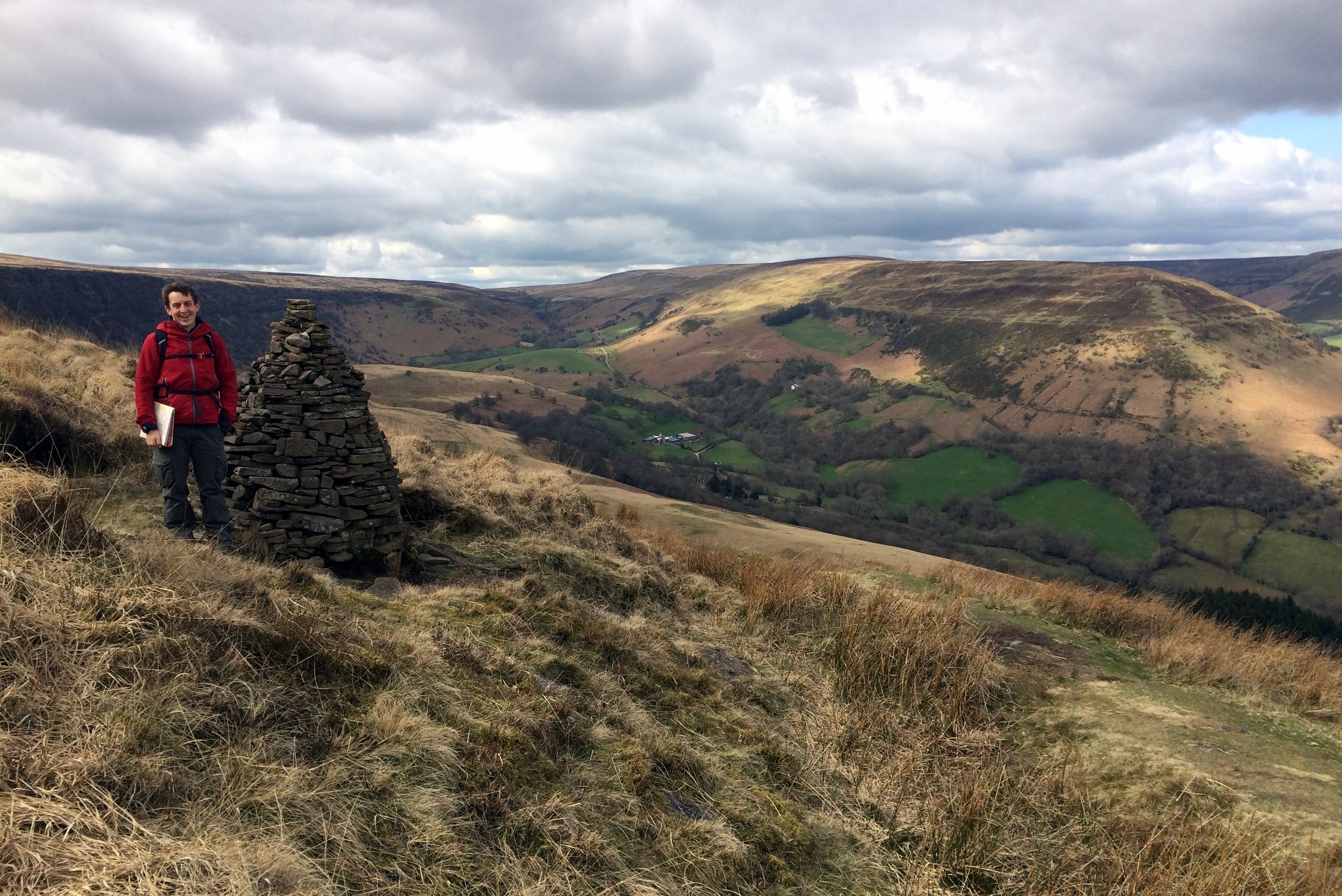
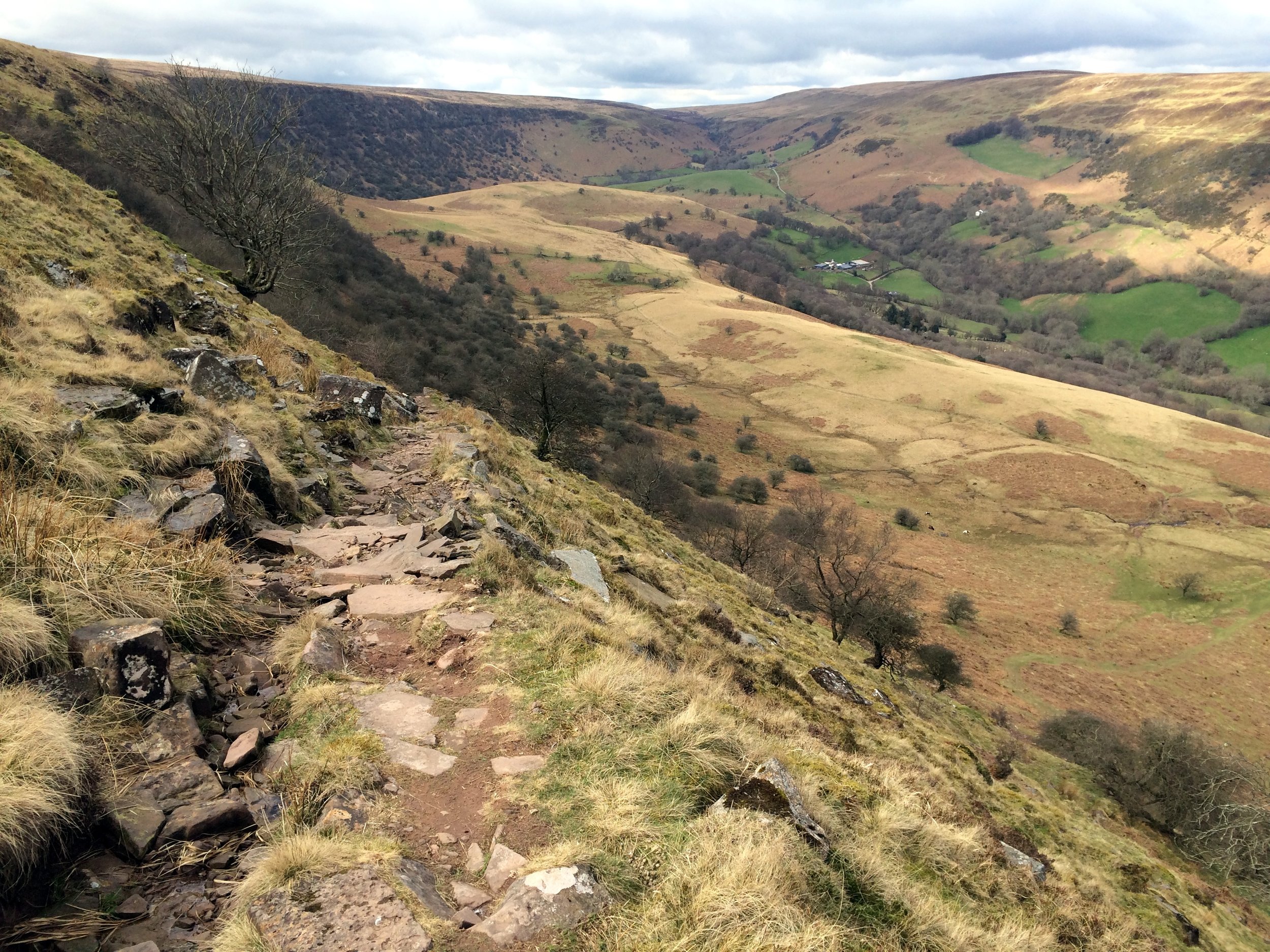
Summit of Chwarel y Fan
Significance: Highest peak in Monmouthshire (Historic CT)
Member of: Hewitt, Nuttall
Parent Peak: Waun Fach. NHN = Pen y Gadair Fawr
Elevation: 679m
Date climbed: 5th April 2015
Coordinates: 51°57′30″N 3°04′51″W
Route Start / End: Llanthony Priory, Llanvihangel Crucorney, Abergavenny, NP7 8DQ
Route Distance: 14.1 km (8.8 miles)
Route Elevation Change: +/- 470m
Subsidiary tops on route: Bal-Mawr (599m)
GPX File: get via Buy Me a Coffee
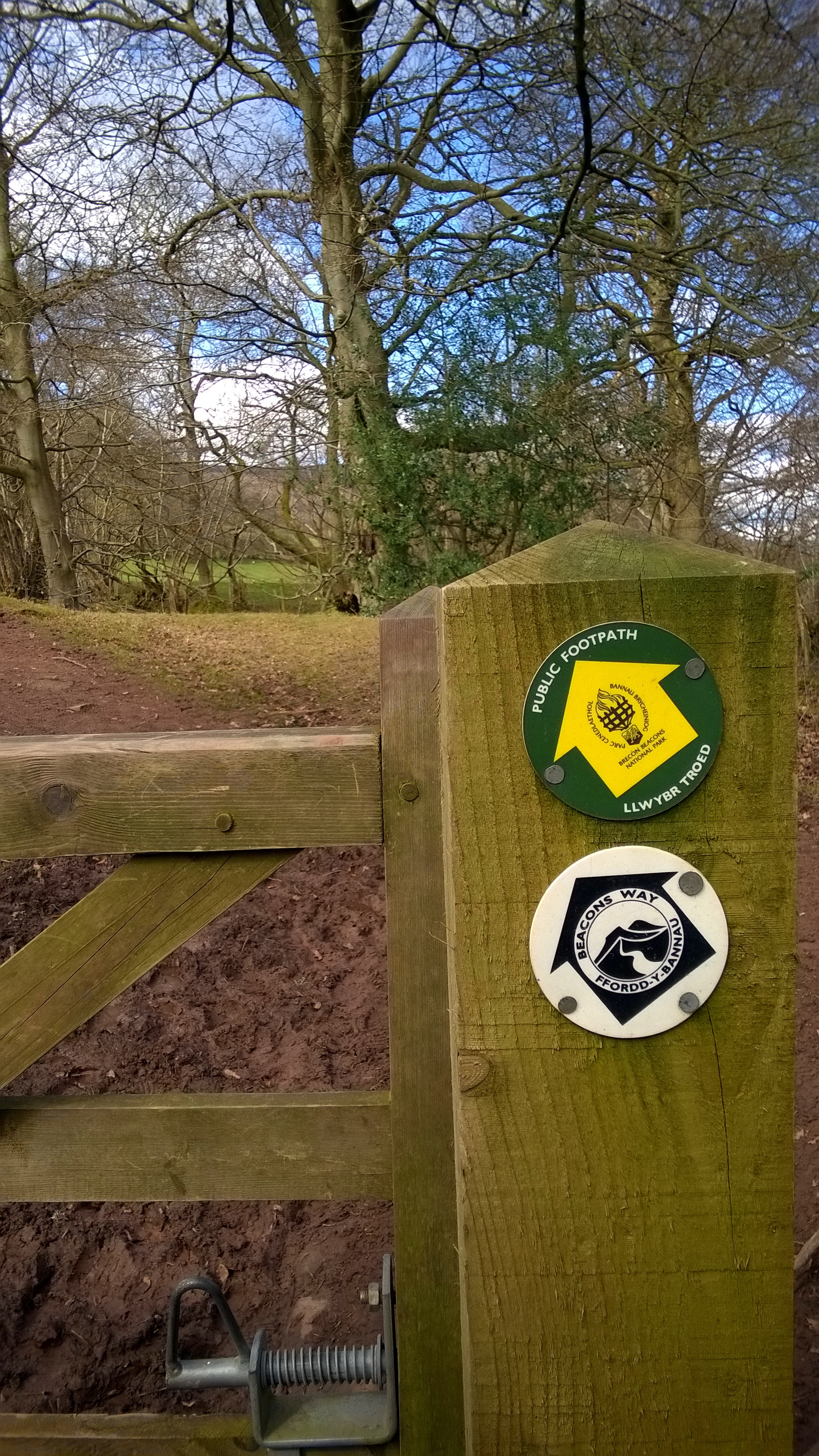
Other routes touched (walk): Beacons Way
Other routes touched (cycle): None
Map: OS Explorer OL13 Brecon Beacons National Park
Guidebook: The UK's County Tops (Jonny Muir)
Links: Wikipedia (Monmouthshire), Wikipedia (Chwarel y Fan), Peakbagger, Hillbagging
OTHER HIGH POINTS IN NORTH WALES
Coity Mountain (578m). Highest point in the Principal Area of Blaenau Gwent: Peakbagger / Hillbagging
Coity Mountain East Slope (574m), Highest point in the Principal Area of Torfaen: Peakbagger / Hillbagging
Wentwood (309m), Highest point in the Principal Area of Newport: Peakbagger / Hillbagging
Significance: Highest peak in Carmarthenshire (Historic CT)
Member of: N/A
Parent Peak: Fan Brycheiniog. NHN = Fan Brycheiniog - Twr y Fan Foel
Elevation: 781m
Date climbed: April 4th 2015
Coordinates: 51° 53' 14'' N, 3° 42' 49'' W
Route Start / End: Llyn y Fan Fach Car Park, Llanddeusant SA19 9UN
Route Distance: 9.9 km (6.1 miles)
Route Elevation Change: +/- 540m
Subsidiary tops on route: Bannau Sir Gaer (Picws Du), Waun Lefrith
GPX File: get via Buy Me a Coffee
Other routes touched (walk): Beacons Way, South Wales Traverse
Other routes touched (cycle): None
Map: OS Explorer OL12 Brecon Beacons National Park - Western & Central Areas
Guidebook: The UK's County Tops (Jonny Muir)
Links: Wikipedia (Carmarthenshire), Wikipedia (Fan Brycheiniog), Peakbagger, Hillbagging
This one is the highest peak in Carmarthenshire but only counts as a sub-peak of Fan Brycheiniog so it doesn’t count as a Marilyn, Nuttall or Hewitt in its own right. Looking back on this one I wish I’d made the extra effort to bag the higher peak too. Even so, this was an amazing walk on a clear spring day with views for miles. It was much less crowded than the Brecon Beacons too.
When: March 22nd 2015
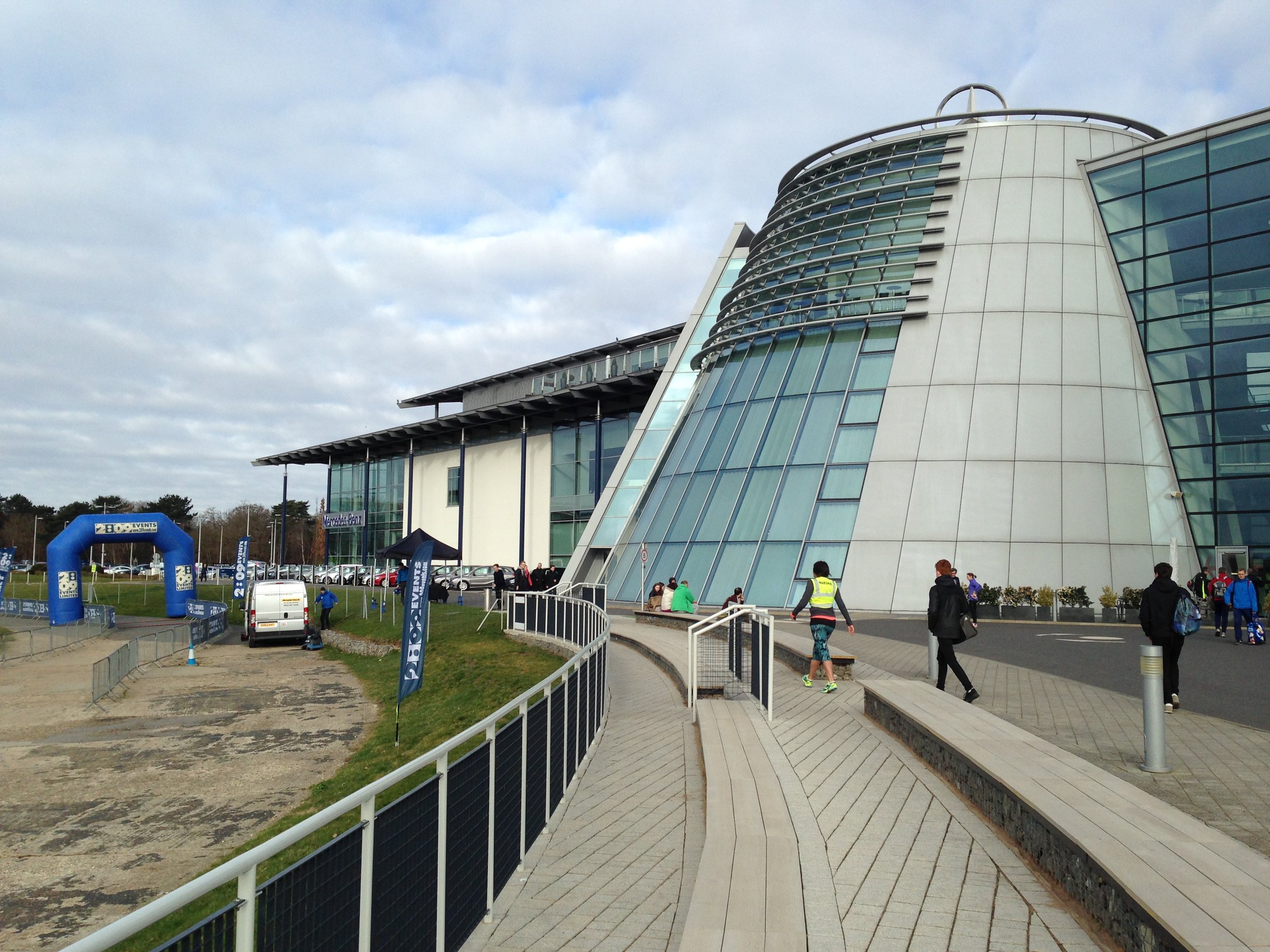
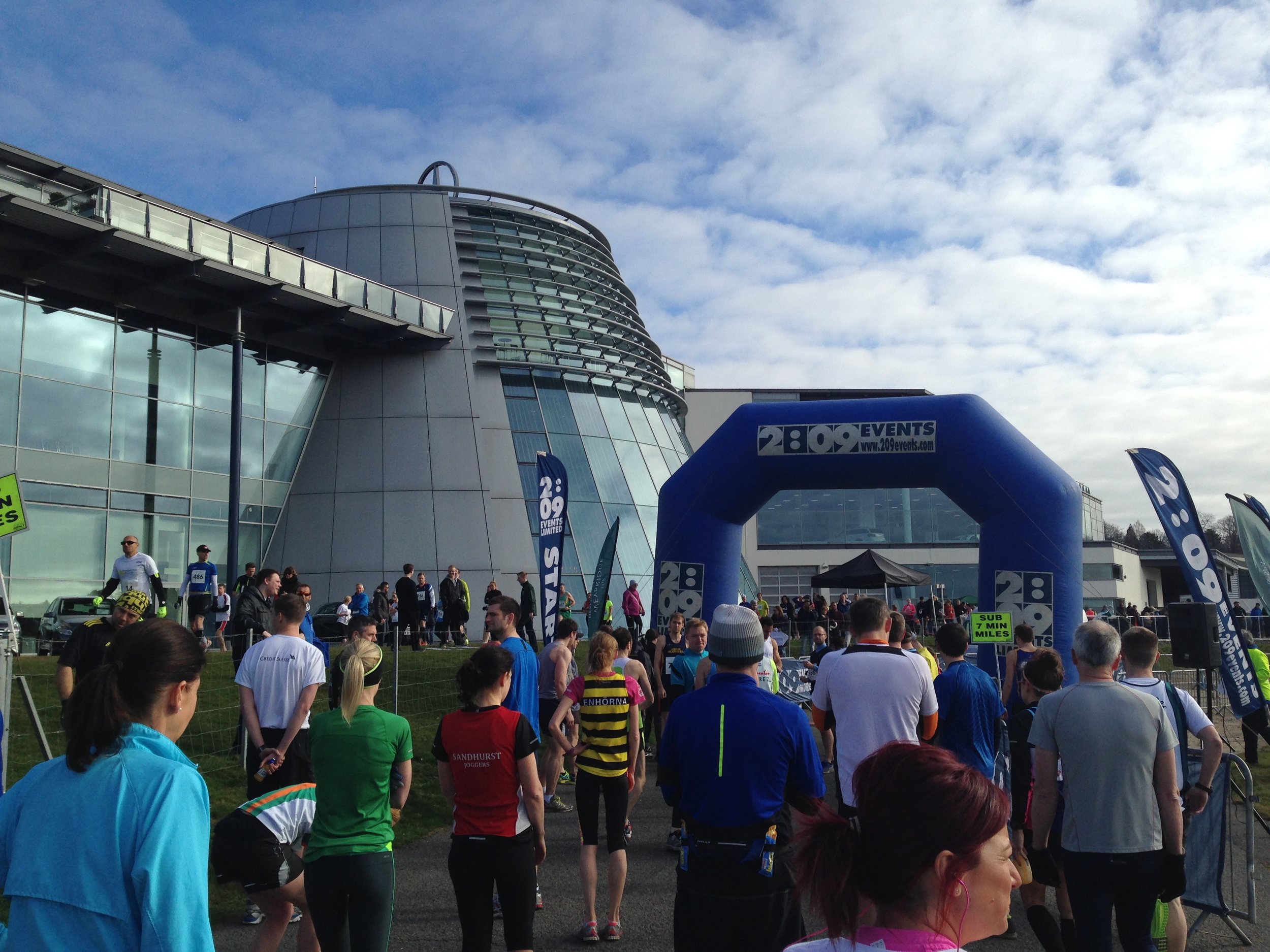
Where: Mercedes World at Brooklands, Surrey, UK
Course: Loops of the Mercedes World race track and out onto residential roads around Weybridge
Other routes touched (walk): Locks and Levels SCC, River Wey Navigation, Thames Path
Other routes touched (cycle): NCN 4
Finish time: 1:54
Brooklands, just inside the M25 in Surrey, was the worlds first purpose built motor racing circuit and has a long aviation history. It was was one of Britain’s first airfields and was a major aircraft manufacturing site before WW2. The race track and airfield have been closed for many years, but the recent redevelopment has been kind to it and you can still see parts of the old track and airfield.
Mercedes-Benz World, now in the centre of the site, has its own visitor centre and race track. This was the base for the Brooklands Half with the first and last 2.5 miles around its track. The middle 8 miles took us out of Brooklands and into a pleasant circuit of neighbouring Weybridge. This was definitely the most interesting of this month’s 3 Halves and one of the best of my 21 Halves so far.
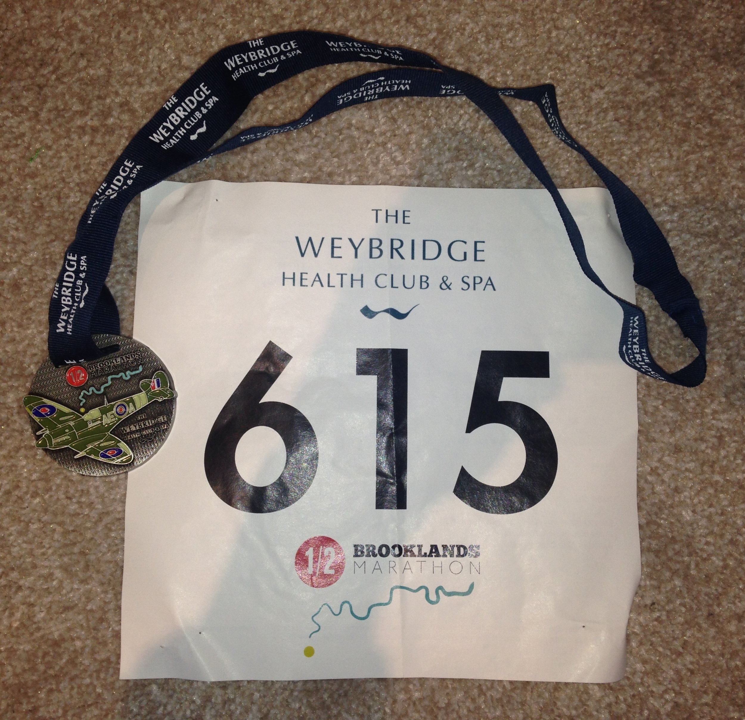
My finish time for this one was 1:54:22, nearly another minute off and well within my target. I was especially pleased as this time as I had been working in the US the previous week and was coping with lack of sleep and jet lag too.
When: March 17th 2015
Where: North London, UK
Course: North London roads between Allianz Stadium Barnet & Wembley Stadium. Flat
Other routes touched (walk): Capital Ring
Other routes touched (cycle): None
Finish time: 1:55
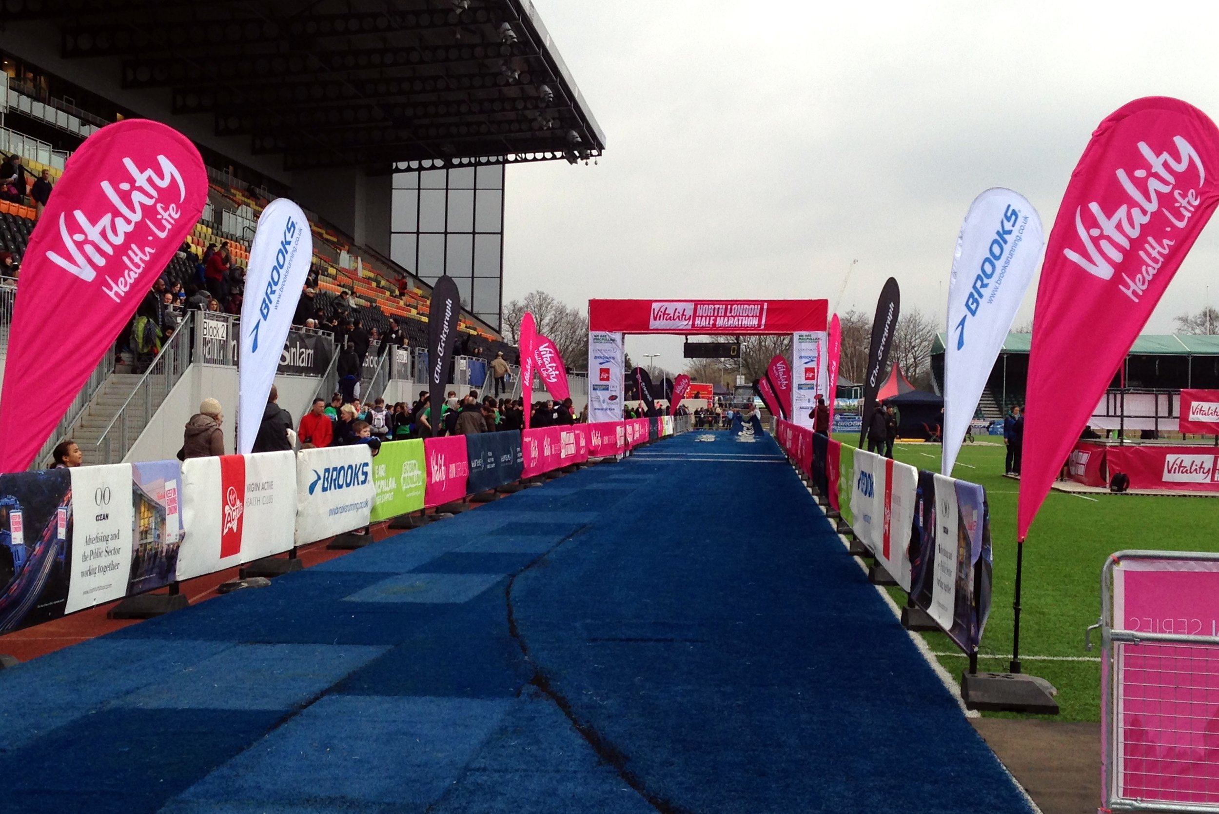
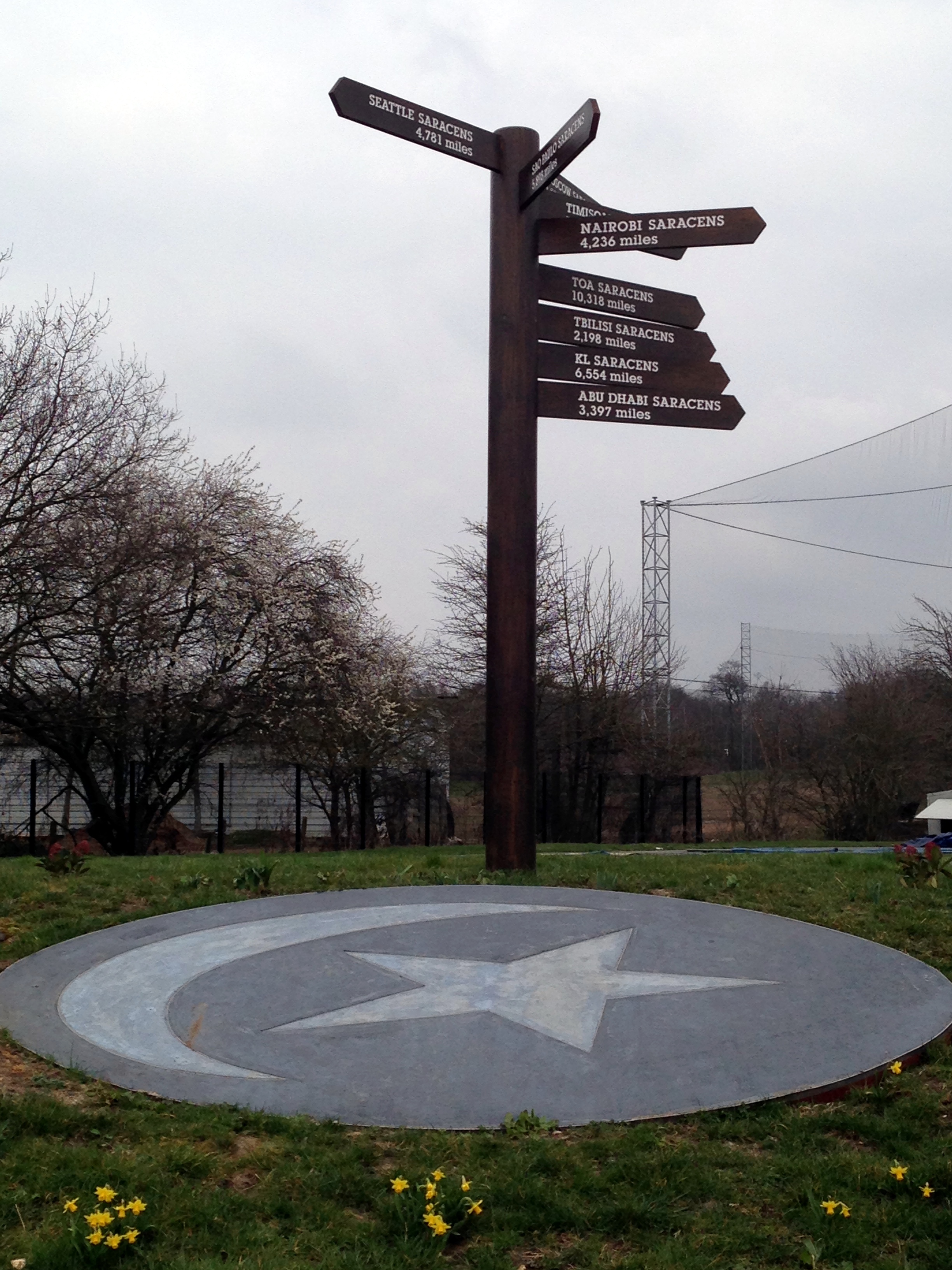
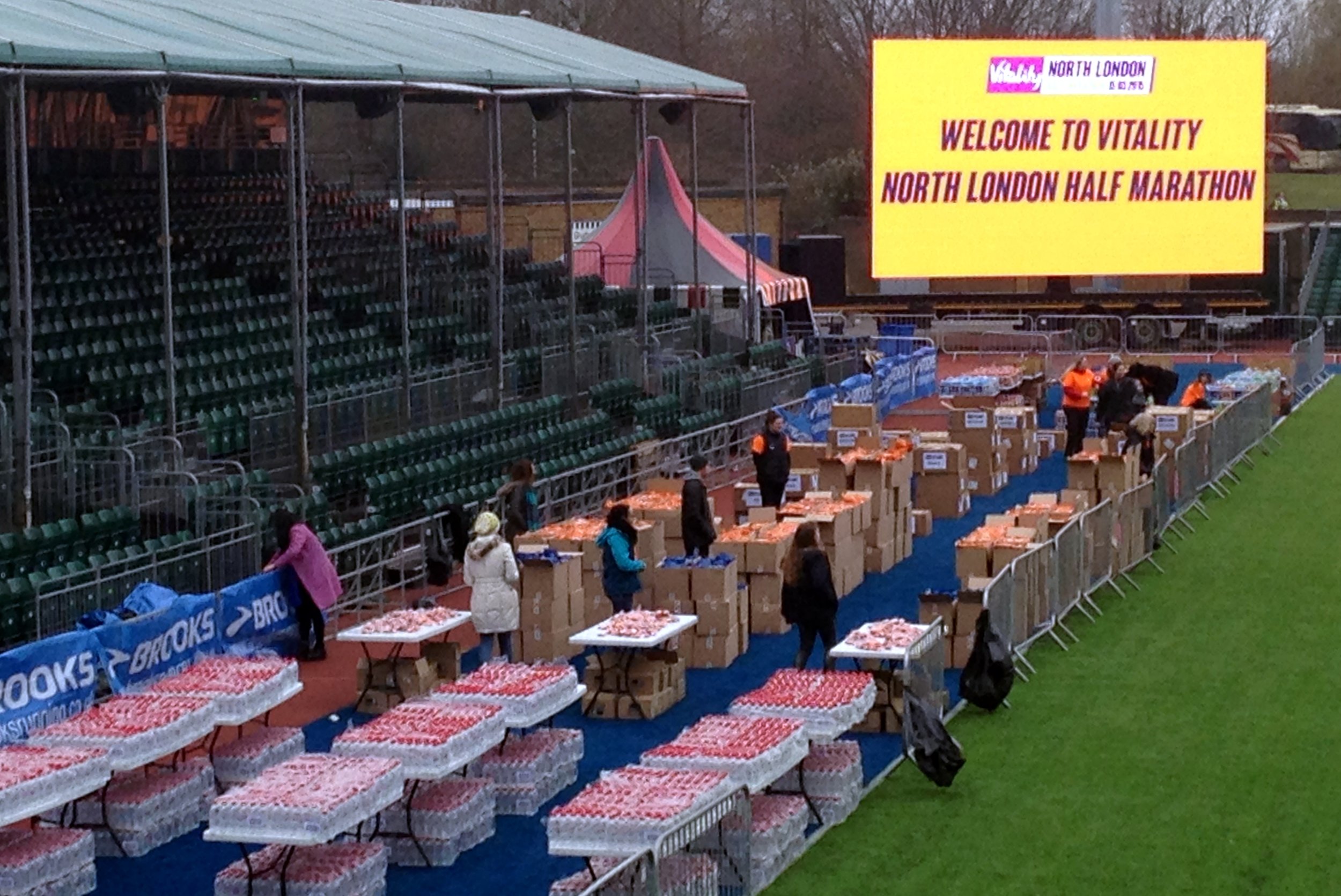
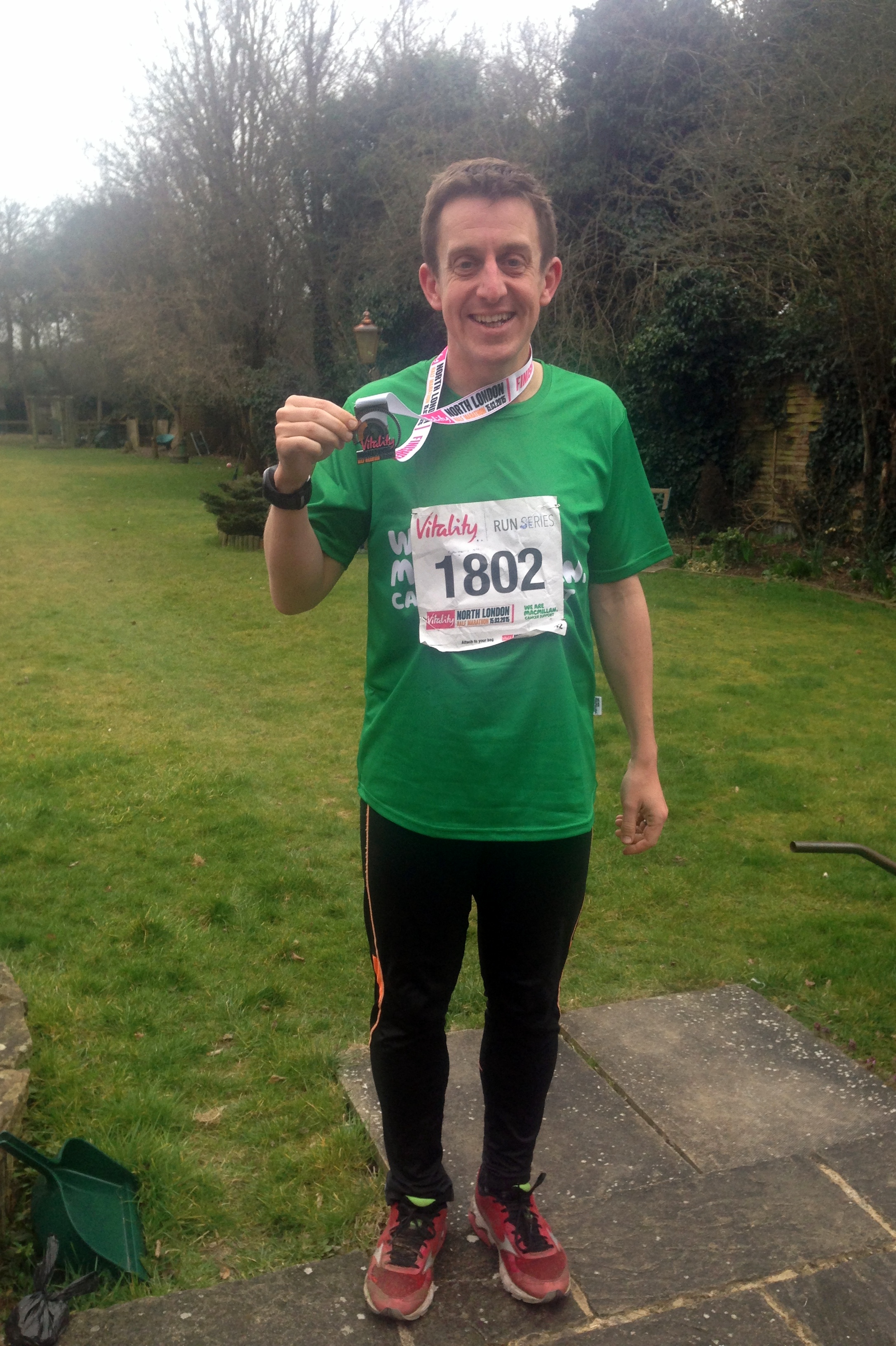
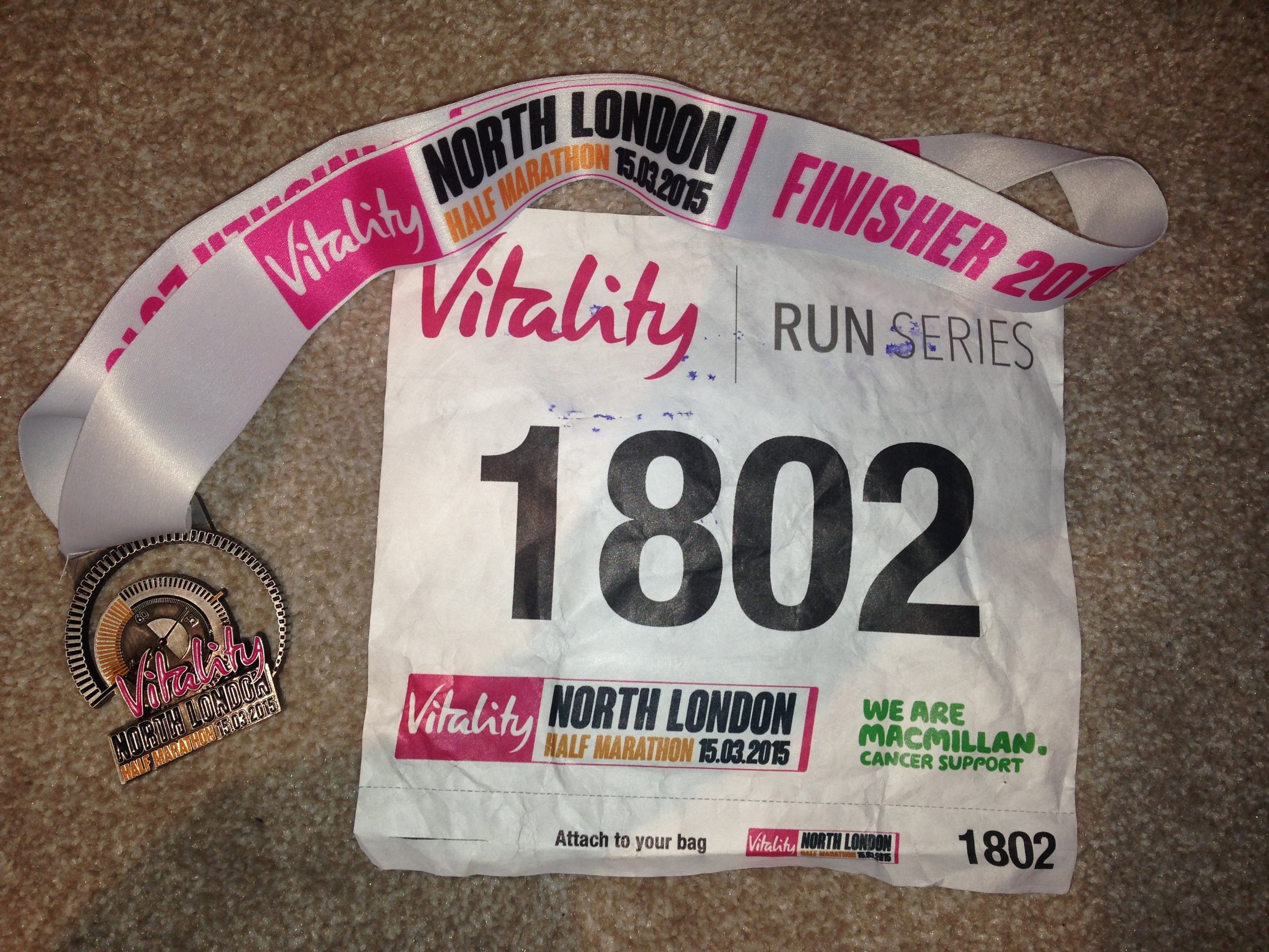
North London was a new event for 2015, an out-and-back route between Barnet and Wembley. What could have been a rather uninteresting location was livened up by the start and middle points in large stadiums. The start and end was at Allianz Park, home to the Saracens rugby team. Mo Farah, the 2012 Olympic gold medal winner, was at the start line. I had expected him to be running rather than waving everyone off though.
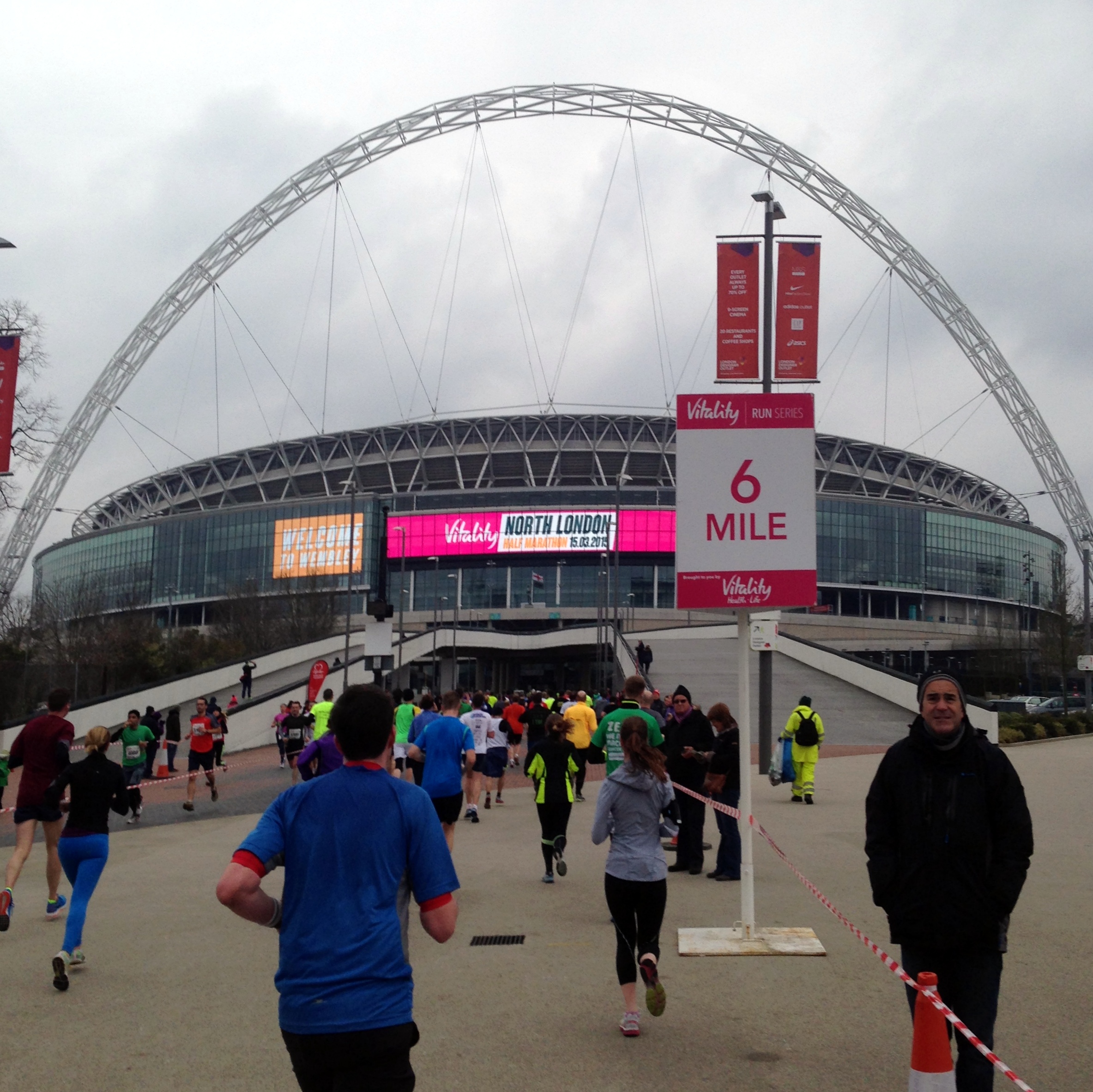
Wembley Stadium at the halfway point was a big boost. I’ve been there many times for concerts, and running through the middle, via the players’ tunnel was a great experience. The MacMillan cheering spot was also in the stadium, another highlight of that section.
At the finish I came in at at 1:55:41, about a minute and a half faster than Bath.
Elevation spike due to my GPS thinking I was on the roof of Wembley Stadium rather than on the pitch :-)
When: March 1st 2015
Where: Bath, Somerset, UK
Course: on roads on a 2 lap loop around the river Avon.
Other routes touched (walk): Kennet & Avon Canal, River Avon Trail, Cotswold Way, Linear Park
Other routes touched (cycle): NCN 244, 4 / Bristol-Bath Cycle Track
Finish time: 1:57
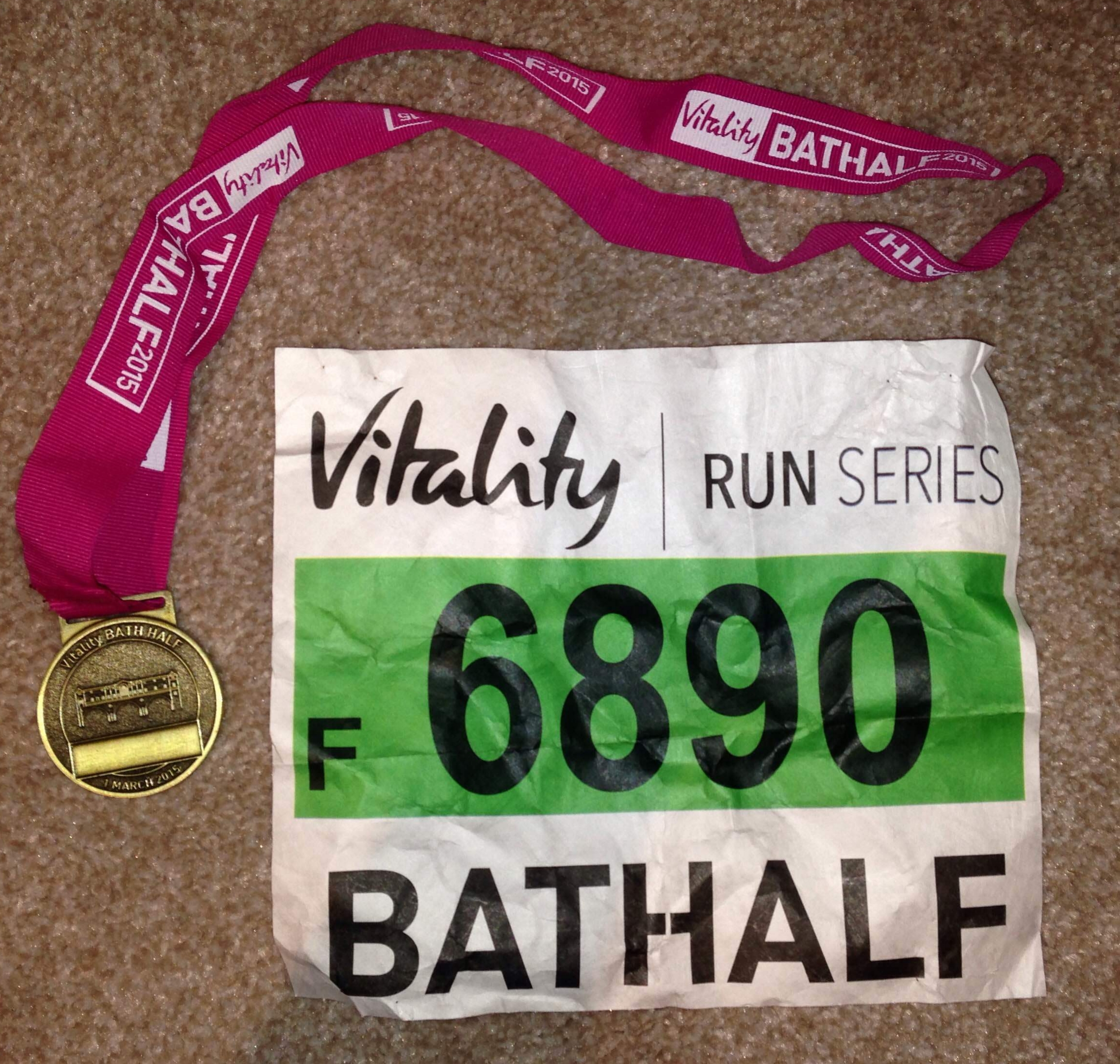
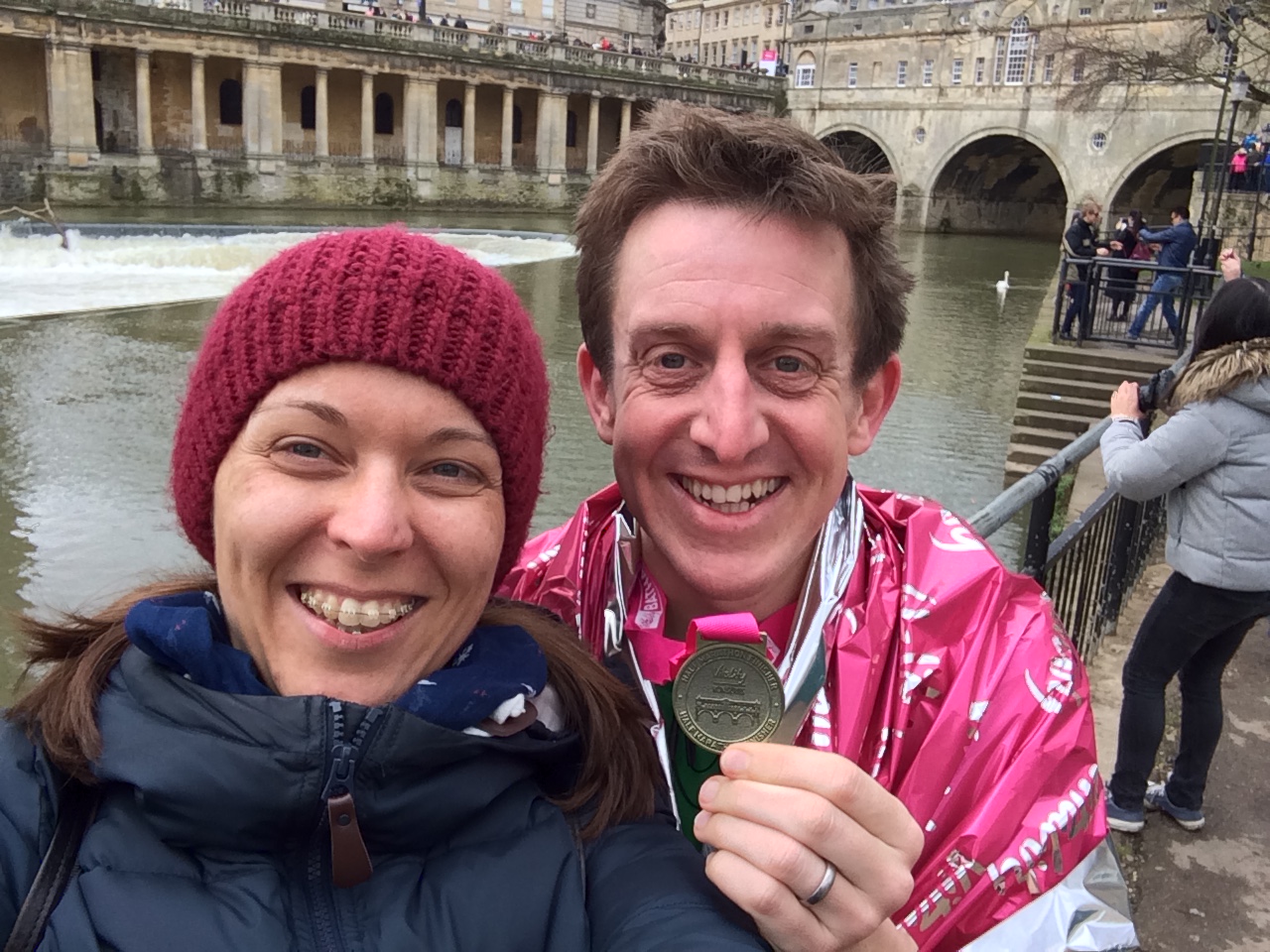
Bath was a proper test for me as it was the first major run since the Ultramarathon 6 weeks before. I'd taken it easy since then, sticking to my weekly parkruns and keeping an eye on my knee which had been annoying me since the Ultra. Timi and I made a weekend of it and had a nice afternoon and evening in the city the day before. The Sunday was a good arrangement: I would get up early for the run and Timi would do some shopping and meet me at the end.
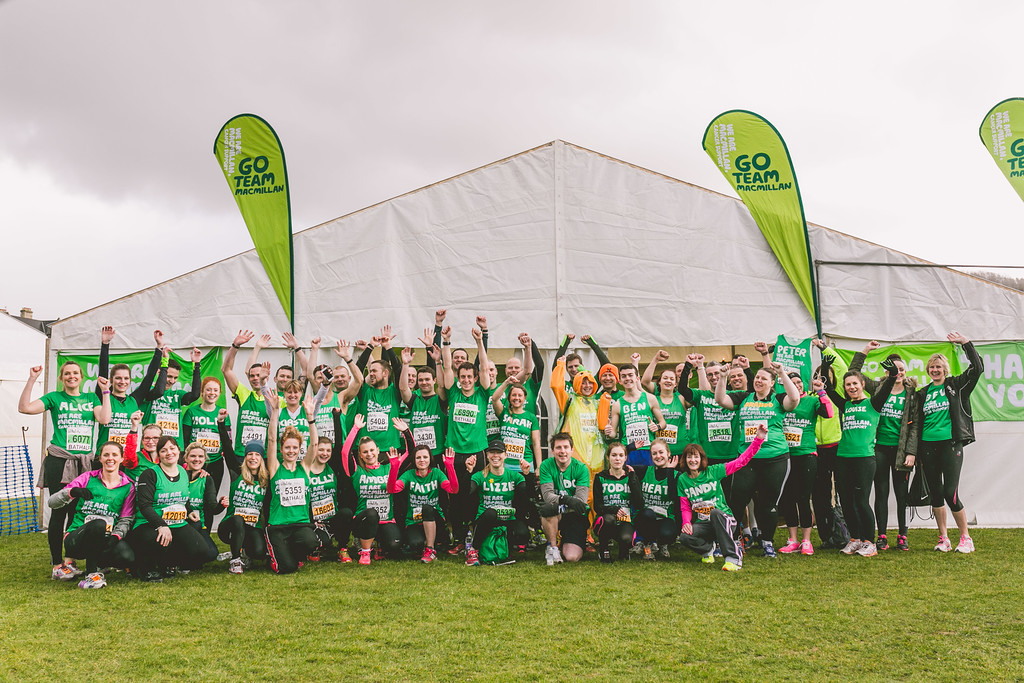
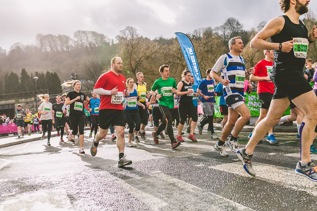
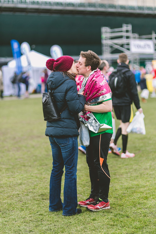
The start wasn't promising. With such a large crowd, nearly 13,000 runners, we were told to get to the race village early. I got there 2 hours before the start just as it started chucking it down. There weren't many places to hide but luckily I was running for MacMillan Cancer Support and they had their own tent. I hid there as long as possible before getting to the start line. I took a fetching green poncho and went to the start with still another cold hour to go.
The route was great, 2 laps of the roads around a stretch of the River Avon plus some of the town centre. A large field of runners plus a city location meant a large crowd of spectators to support us. There were also several MacMillan cheering spots with volunteers looking out for runners in their t-shirts to give them an extra bit of encouragement.
The final bit of encouragement was Timi waiting for me at the final mile. I always love seeing her there at the end. My finish time was 1:57:21, just under my normal time of 1:56, but a good confirmation that I was fully recovered from the Ultra.
The day after Dry January
I am very pleased so say that I have completed the Dryathlon: 31 days of January without alcohol. It wasn't too tough, just pretty boring. Given that January has to be the dullest month of the year, getting through it without a glass of wine at the end of the day is just rubbing it in.
I had originally planned a dry first 2 weeks of the year. This was mainly part of my preparation for the Ultramarathon but the link to Cancer Research, one of the Growlerthon causes, made it worth seeing through to the end of the month.
Not sure if I feel any better as a result, but a month off is probably a good thing.
Bull’s Bridge
When: January 26th 2015
From: Shoulder of Mutton, 20 Pound St, Wendover, Aylesbury HP22 6EJ
To: Little Venice, London W2 6ND
Distance: 68 km (43 miles)
Elevation Change: +573m / -678m. Net +105m
GPX File: get via Buy Me a Coffee
Other routes touched (walk): Chiltern Link, The Ridgeway, Chiltern Way, Chiltern Heritage Trail, Chess Valley Walk, Grand Union Canal Towpath, London Loop, Colne Valley Trail, Beeches Way, Shakespeare’s Way, Hillingdon Trail, Capital Ring, Jubilee Greenway
Other routes touched (cycle): Hampden Route, Harding Route, Milton Route, NCN 57, 6, 61, Chilterns Cycleway
Maps:
- OS Explorer Map (181) Chiltern Hills North
- OS Explorer Map (172) Chiltern Hills East
- OS Explorer Map (160) Windsor, Weybridge & Bracknell
- OS Explorer Map (173) London North, The City, West End, Enfield, Ealing, Harrow & Watford
Finish time: 9 hours 54 minutes
Links: Wendover, Ballinger, Chesham, Latimer, Chenies, Chorleywood, Denham, Grand Union Canal, Uxbridge, West Drayton, Hayes, Greenford, Alperton, Little Venice
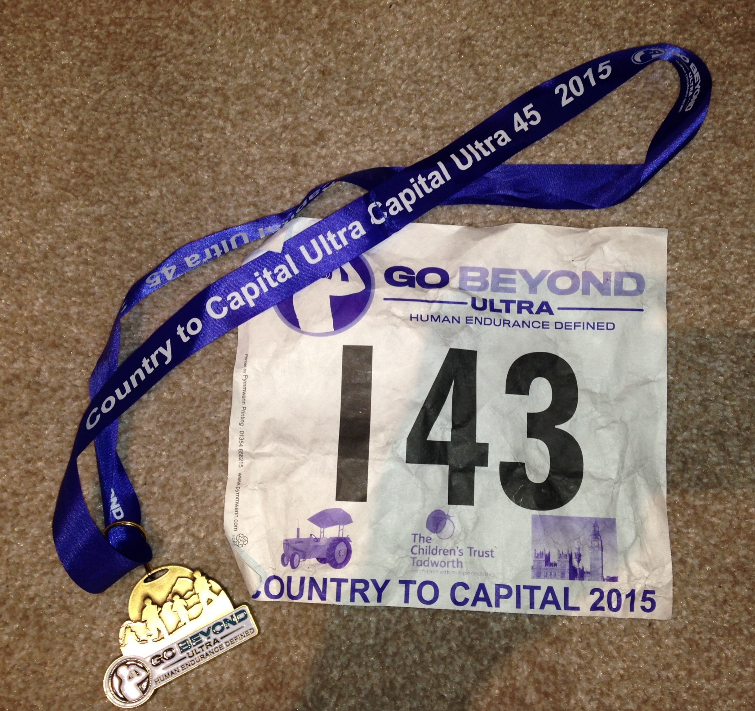
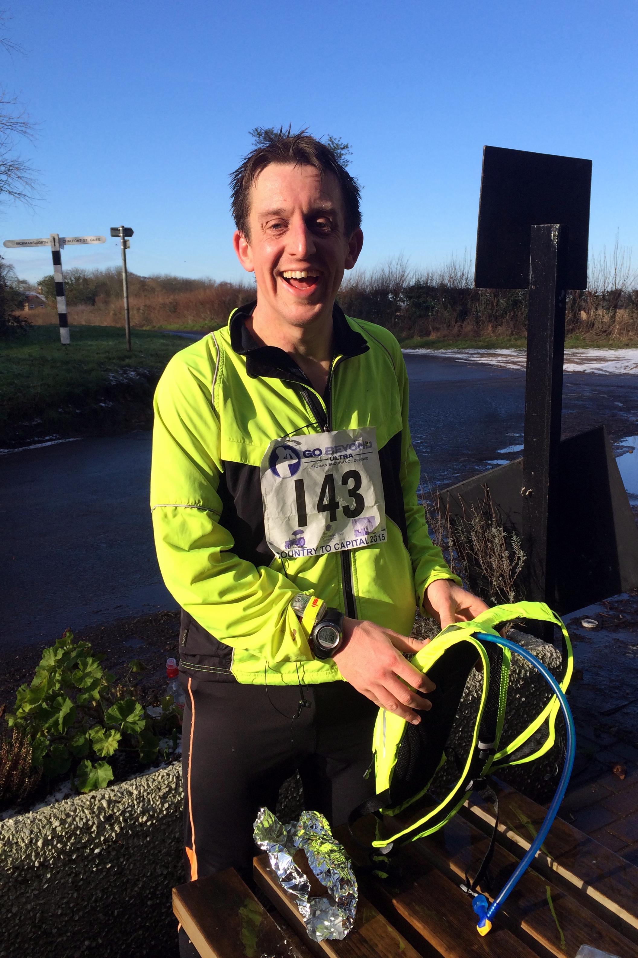
Of all of the events on the Growlerthon list for this year, the Ultra Marathon was the one I was most excited and nervous about. I was pretty confident that I could do the others but 45 miles was significantly further than any distance I had ever run before. It all seemed like a good idea last summer when I was talking to my friend, Mat, at a summer party, about his recent successful first Ultra. The next day I had signed up for “Country to Capital”, a 45 mile run from Wendover in the Chilterns to Little Venice in London.
Two days before the race I was wondering if the complete lack of long distance training was going to be a real problem or not. I was having dreams that week about “ultra disasters” such as getting off-course and lost in London or arriving to the start without running shoes and socks, and having to run in borrowed hiking boots.
Other than the lack of training, I felt pretty good on the morning of the event. I was halfway into “Dry January” so I had 2 weeks off alcohol as well as a week of carbing-up and some early nights. I stopped looking at the weather forecast days ago as it was only getting worse as the weekend got nearer.
Arriving at the start at a pub in Wendover I was relieved that the forecasted snow hadn’t happened. About a second after I posted an update about it on Facebook the snow started.
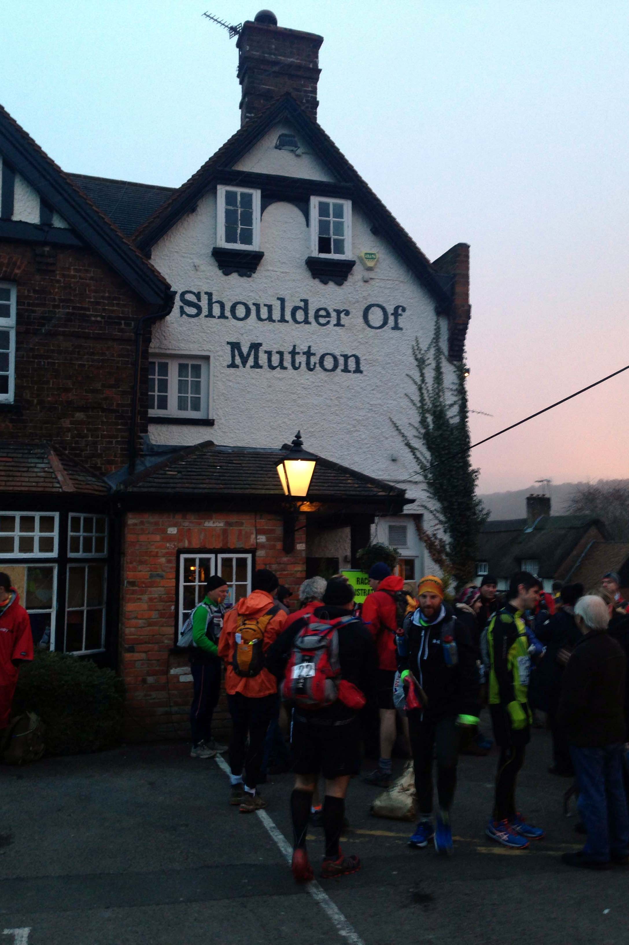
The pub was fairly chaotic, packed with scarily fit people checking-in, getting changed and filling up on bacon rolls. Everyone I spoke to was on top form and eager to share stories and advice about the run. Worryingly everyone I spoke to had done several Ultras before and no-one else appeared to be doing it for the first time.
Despite the warnings of my anxiety dreams I had a near miss when I accidentally checked my hat and gloves into the kit-van, which was going to be driven to the finish. Luckily I was able to fish them out before it was too late, much to the amusement of the organisers.
The best piece of advice came from a veteran Ultra runner at the start line: “Stick to your game plan” he said. “If you’ve planned a pace, don’t get overexcited or distracted by other runners. Just do what you planned for”. His other advice, echoed by several others during the day, was that these events would get addictive. One girl at the start told me she had done her first the previous summer and this was now her 4th. Given my obsessive nature with these kind of events I already had a feeling I would be back for others.
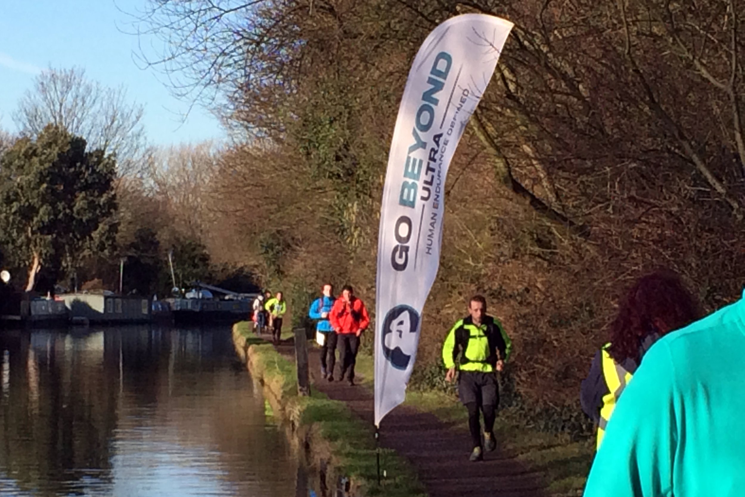
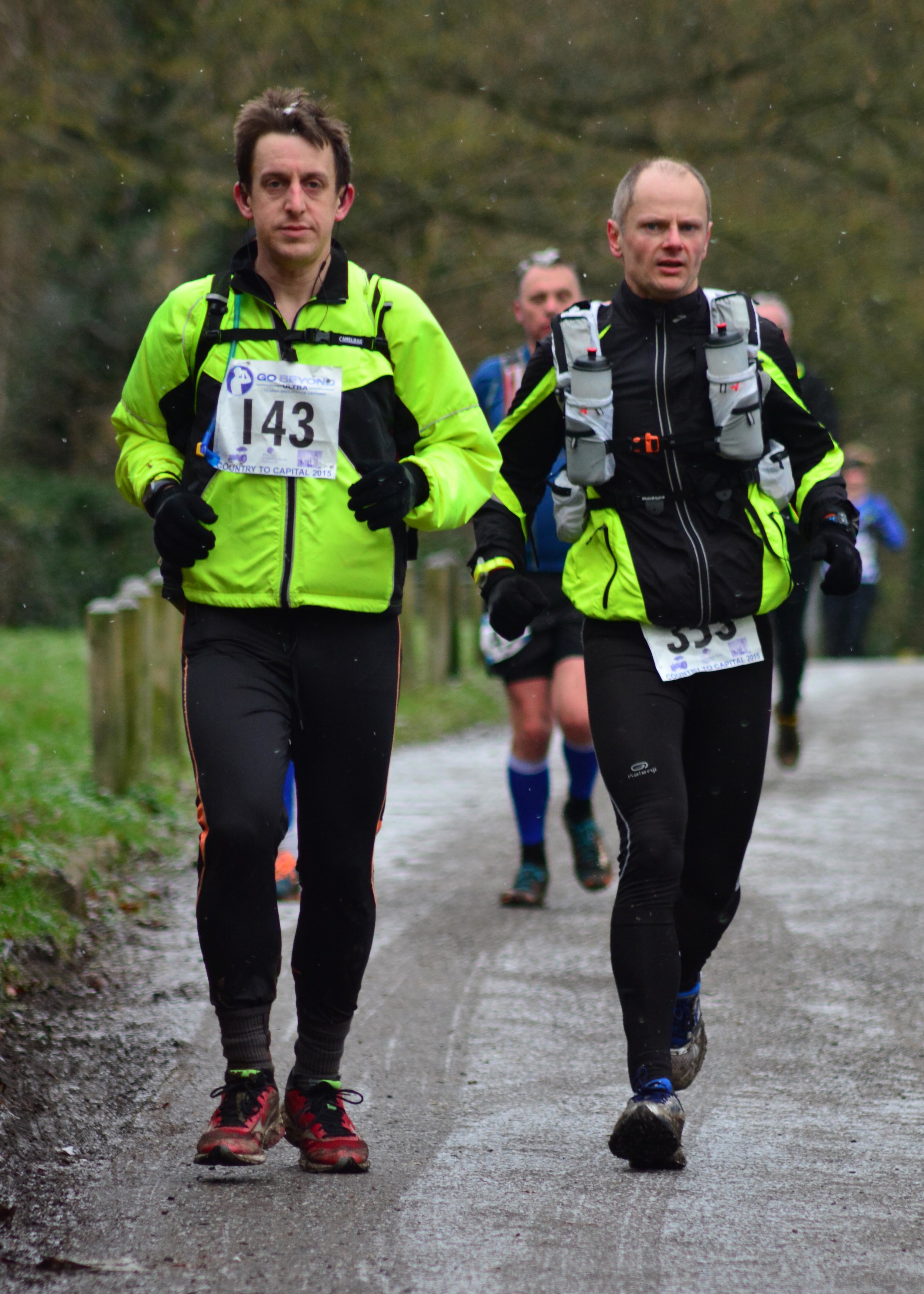
At 08:30 the clock started and 350 runners filled Wendover high-street. The pack soon thinned as the course headed along paths and tracks out of town and into the Chilterns. The first section from Wendover to Chesham was beautiful. The small villages and woodland were now more like Christmas card scenes with the snow settling due to a mini-blizzard at mile 2.
My plan, carefully worked out on a spreadsheet, was to run sets of 3 x 10 minute miles followed by a 15 minute fast-walk mile and a 15 minute rest at each check-point. At Checkpoint 1 at Chesham this was working well.
This second stage was both hillier and harder to navigate. There were no direction makers on the course, so we were all given maps to follow. For the first stage I kept at least 5 runners ahead of me in sight leaving the navigation up to those in front. By the second stage the group was thinning out a lot more and there were larger gaps between runners. There were several occasions where I arrived at a junction and a group of runners were returning back to the route having taken a wrong turn. I was pretty lucky to have kept on the right path throughout.
Just outside of Chesham the route went through a large playing field. This became quite disorientating for the group splitting it into 3 streams, one going down each side and one through the middle to find the path at the other end. The actual path then crossed a fast flowing stream passable only by slippery and wobbly logs laid out as stepping stones. Many slipped and got one foot soaked with at least one runner going all the way in.
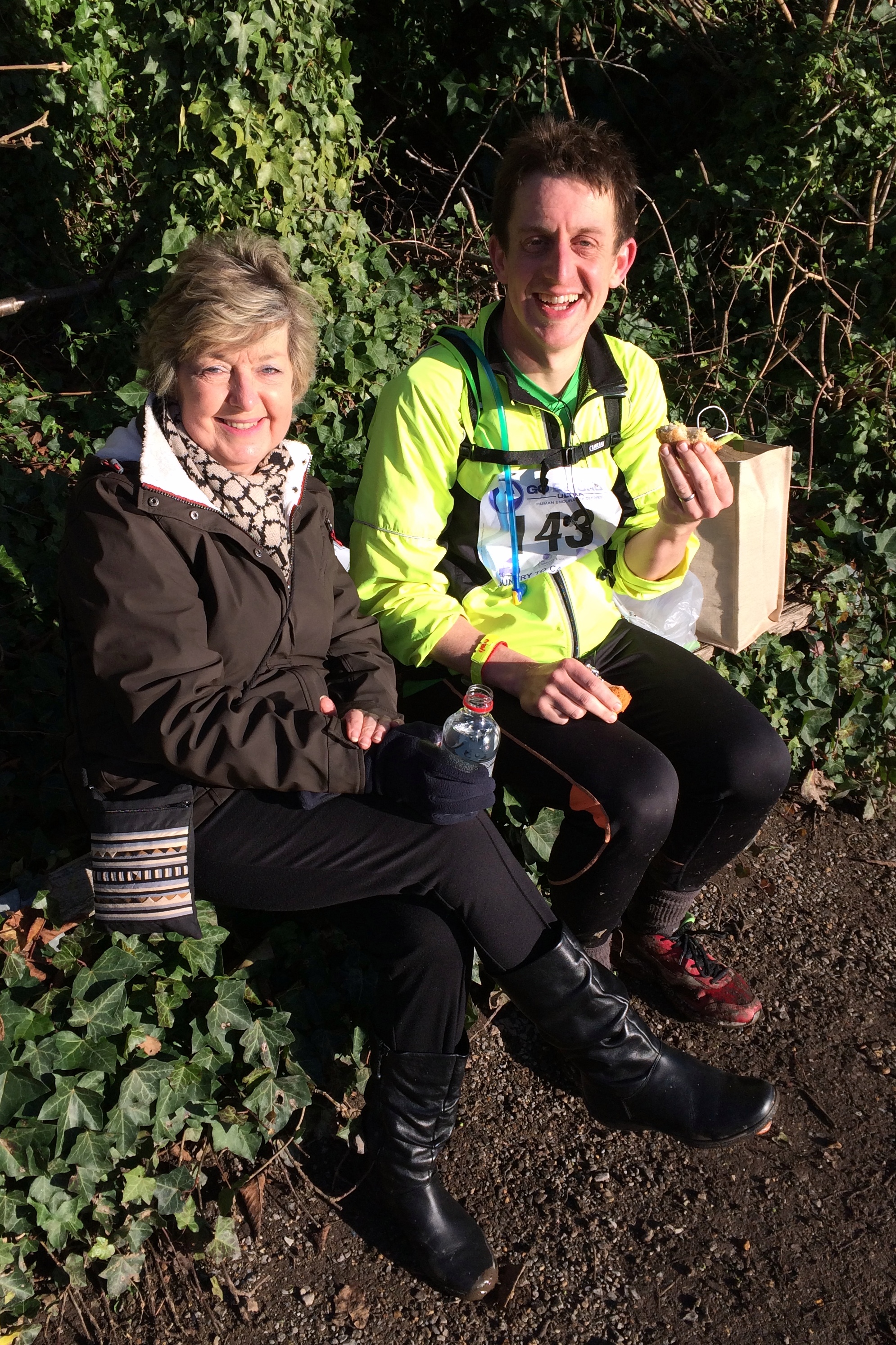
The second stage, Chesham to Chalfont via Chorleywood, was trickier overall but the plan was still working and I made it bang on time to Checkpoint 2, where my support crew (Timi and Mum) were waiting.
By Stage 3, Chalfont to Cowley, I was on home turf and navigation was easy as I’d ran and cycled every path around there in the last few years. By the time I hit the Grand Union Canal at Denham I had lost some time due to some really muddy hills after Checkpoint 2. The game plan that worked so well for the first half was proving too optimistic for the second and each mile was getting somewhat slower.
Timi and Mum were waiting for me at Checkpoint 3 just like at all of the following ones. This was a big morale boost and made a great day even more special. Timi had become my official social network agent for the day, posting my progress on Facebook throughout. Seeing the supportive likes and comments at each Checkpoint was another great motivator. By now I was 25 miles in, just under a full marathon and feeling good, despite slowing down.
From here to the finish the navigation was easy: just follow the Canal and don’t forget to take the Paddington arm at Bulls Bridge. The group had really thinned out by now and for most of the time I could only see 1 other runner ahead in the distance and 1 behind me. This was the point where the iPod had become essential kit and I was ploughing through the Podcasts.
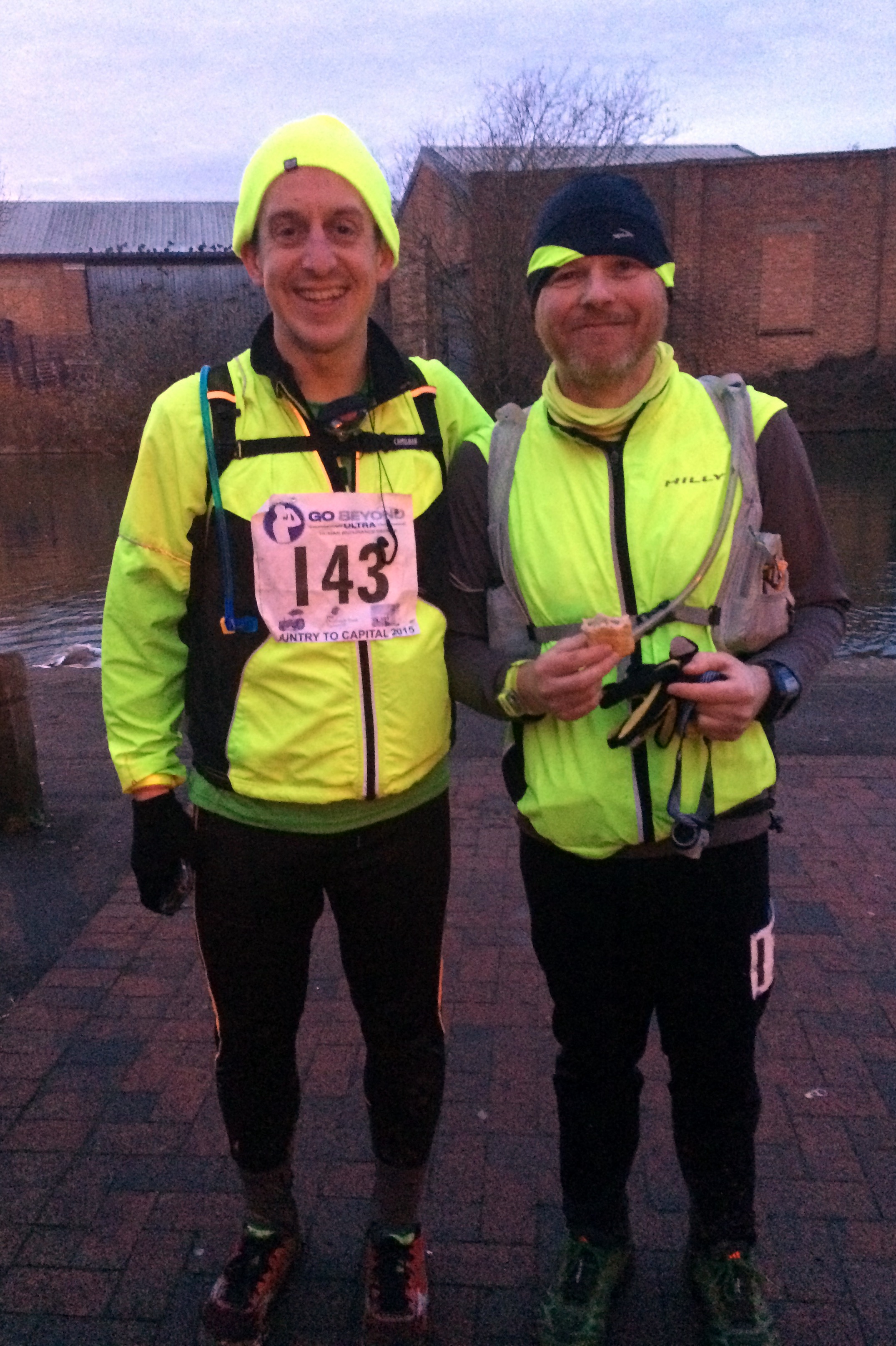
At Checkpoint 4, 31 miles in, it started to get dark and the marshalls made sure we had our head-torches on. We also got paired up with other runners for safety. This already seemed like a good idea as the canal becomes a magnet at night for groups of shifty looking people roaming around smoking and drinking. The frequent “missing person” notices stuck to trees and bridges weren’t a confidence booster either.
Julian, a friendly guy from Milton Keynes, became my running partner for the next 3 hours. He’d completed a few Ultras before and would probably have been faster than me but was suffering badly from stomach problems. He put it down to using the free carb gels they were giving out at each checkpoint rather than the ones he’d trained with. Whatever the reason, I was glad to have someone running at the same pace. I’m always concerned about running with someone either too fast or too slow, both not wanting to hold anyone back or feeling compelled to go faster than my own pace.
The final 10 miles was all about finishing, as a fast time at this stage was neither possible or wanted. We had slowed down to 16 minute miles of fast walking, finding a pace that was comfortable as long as we didn’t stop. At the last 2 Checkpoints we stayed only for a few minutes to get more food and water, fearful that if we stopped for longer we wouldn’t start again.
As the end got closer the route become darker and surroundings more industrial. I love cycling and running the canals as you get a diverse mix of country and industry. This part of London had little in the way of pleasant scenery, so the lack of light was mostly a blessing. The head-torch was now the essential kit, keeping us on the path and out of the canal.
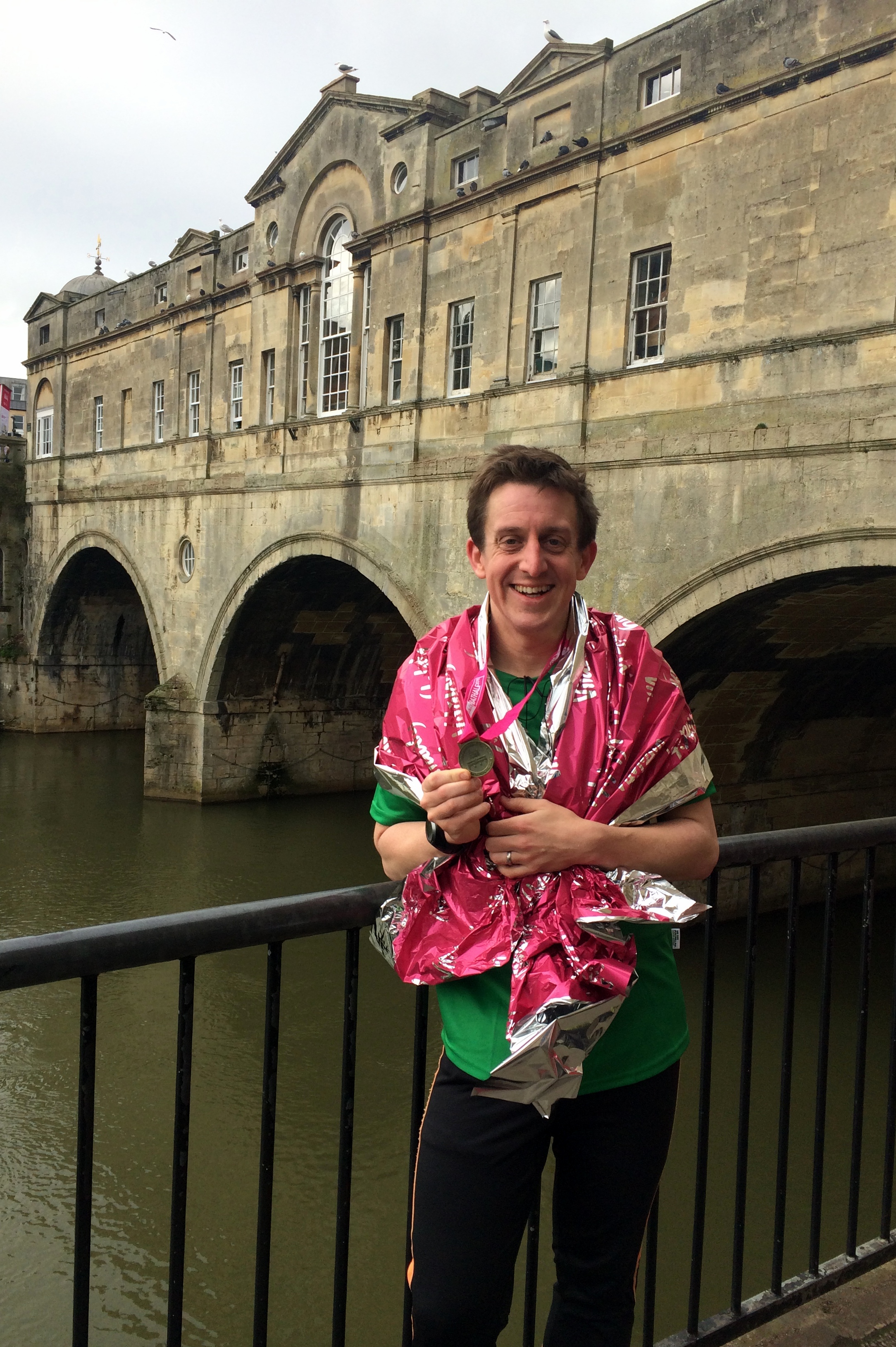
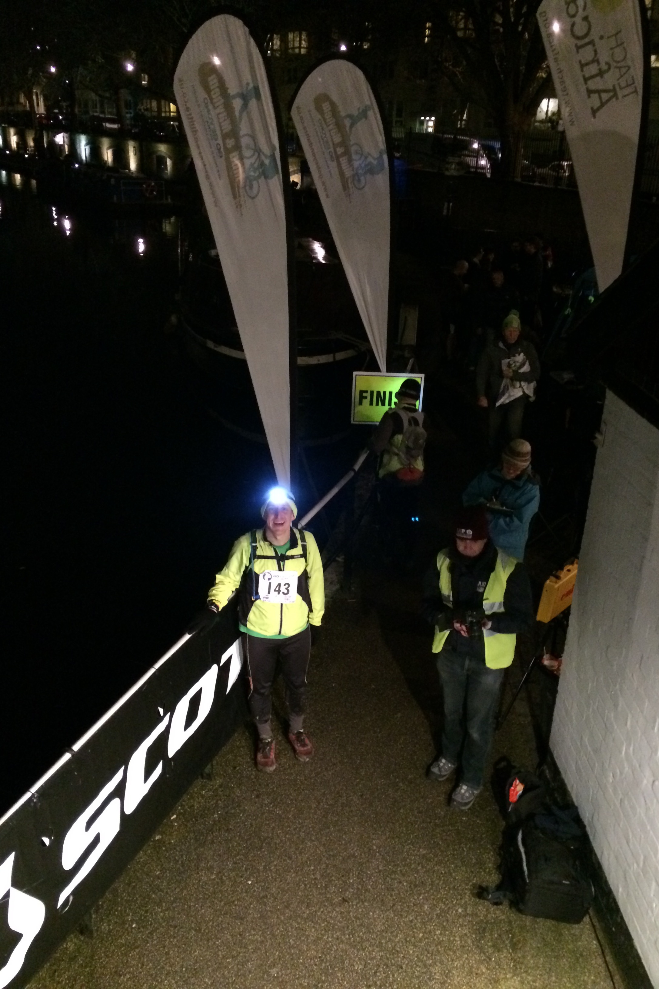
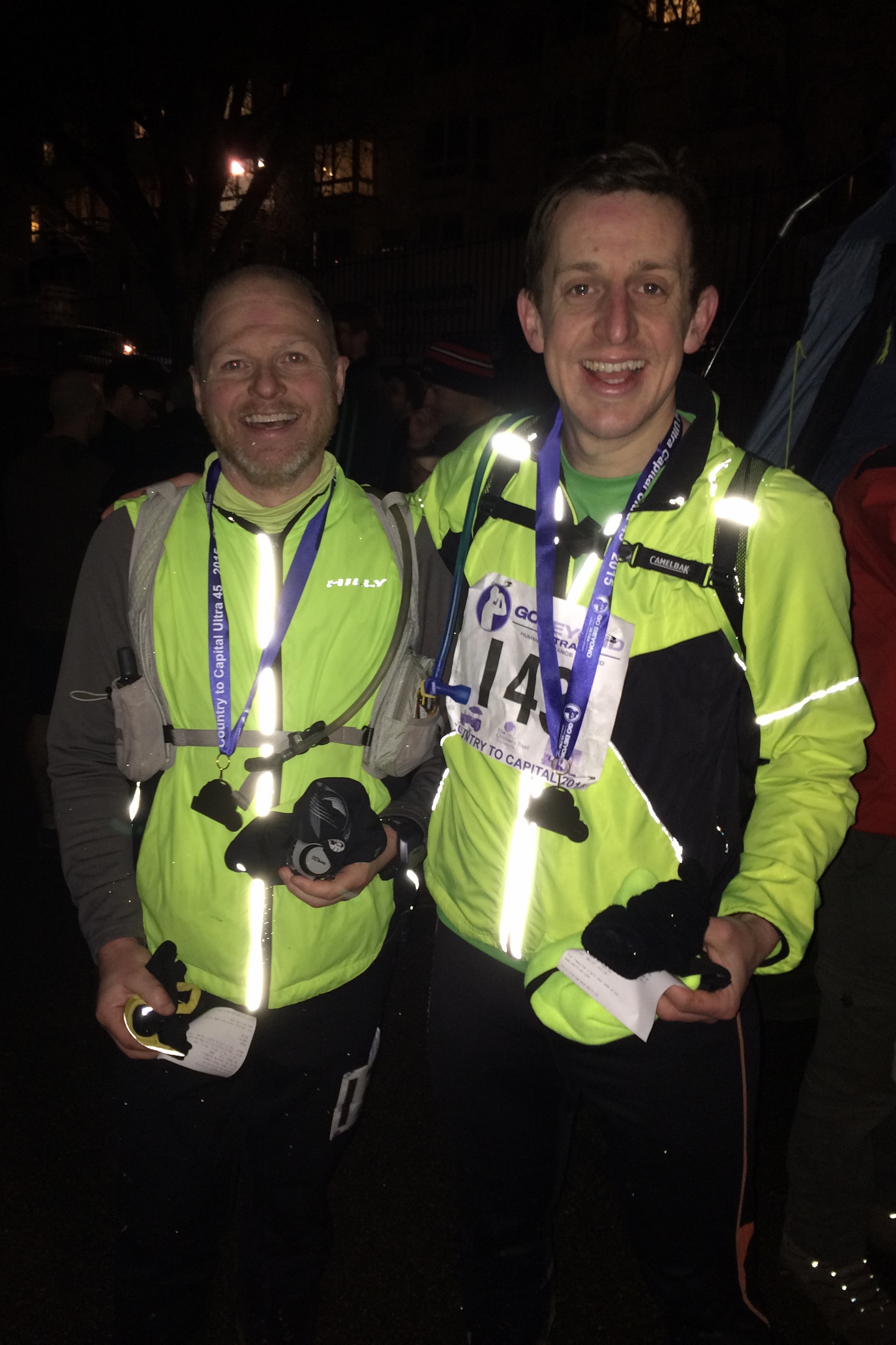
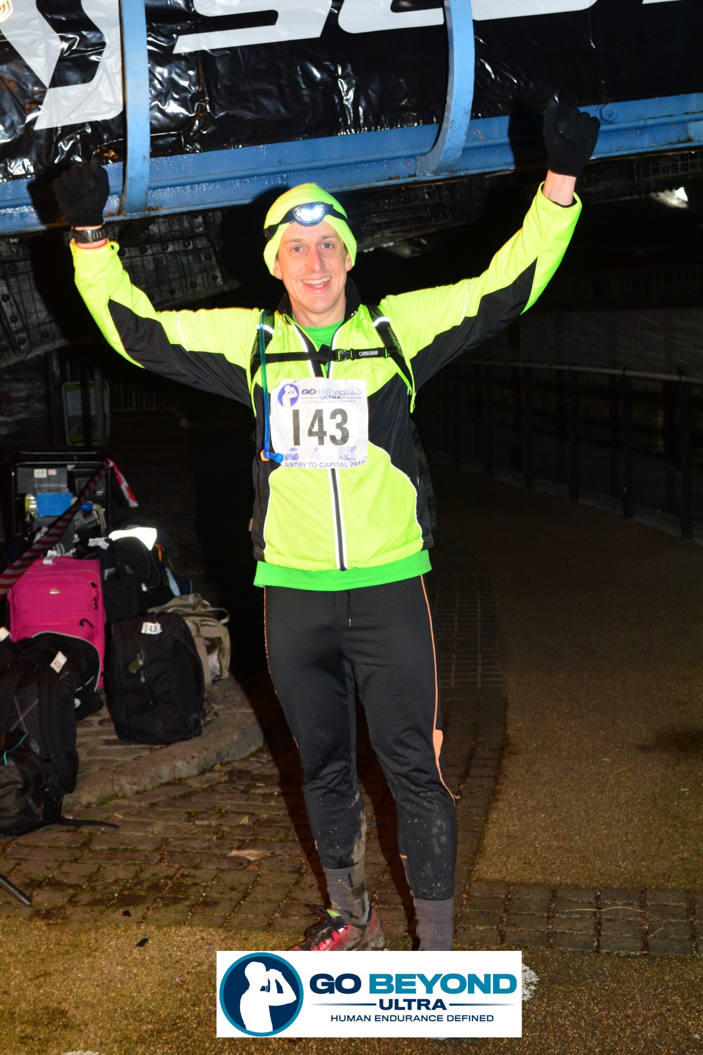
Eventually the tall buildings of the new development at Paddington came into sight and the end was near. Checkpoint 6, the Finish at Little Venice finally came after just under 10 hours since the start. A massage and an ice-bath would probably have been the right thing but a warm-bath and a long sleep was really the only thing that I wanted.
One week on and things are mostly back to normal with only an ache in my left knee as a physical reminder. The 2 days following the race were tricky with a point on the following day I thought I had permanently damaged myself. By the 3rd day I was able walk upright again and able to tackle stairs without sitting on them.
A lot of friends asked why I did it and other events like these. The normal answers of the “challenge” and “achievement” are true but its not really that. The simple truth is that I just love the outdoors. The routes these adventures take me on are amazing and there’s no better way to experience them than to travel under your own power. I also love the organised events as there’s always a buzz from so many people with the same goal, often doing so for good causes. In a society where inactivity and obesity are rising I find it highly motivating to spend a day with people on the other end of the health spectrum.
The 2 bits of advice from the runner at the start-line both turned out to be true: stick to your game plan and expect it to be addictive. I may need a few weeks off but this won’t be my last Ultra.
Thanks you very much to everyone who supported me, from Mat who gave me the idea, to the “likers” and “commenters” on Facebook, those who sponsored me for the Growlerthon course and especially to Timi and my Mum as my amazing support crew for the day.
When: January 4th 2015
Where: Cliveden National Trust, Cliveden Road, Taplow, Maidenhead, SL1 8NS
Course: One small and one big loop of the National Trust estate.
Other routes touched (walk): Cliveden Green Walking Route
Other routes touched (cycle): None
Finish time: 58m
The Cliveden Cross Country 10k was a chilly and hilly start to the new year. The race, at the National Trust estate near Maidenhead, is an annual fixture yet I've always manged to miss it up to now. This year was particularly cold and foggy, something I only realised half way into the cycle ride there from home. I arrived with frosted-over gloves and numb hands. I soon warmed up on the course though as the climbs and mud got the pulse going pretty quickly.
The course is 2 roughly similar laps of the estate with a longer 2nd half including a nice run by the Thames. Both laps had a very steep climb up the steps back to the main house which no-one I saw managed to tackle faster than a walk.
First race of the year done and a warm-up for the 45-mile Ultra in mid-Jan.
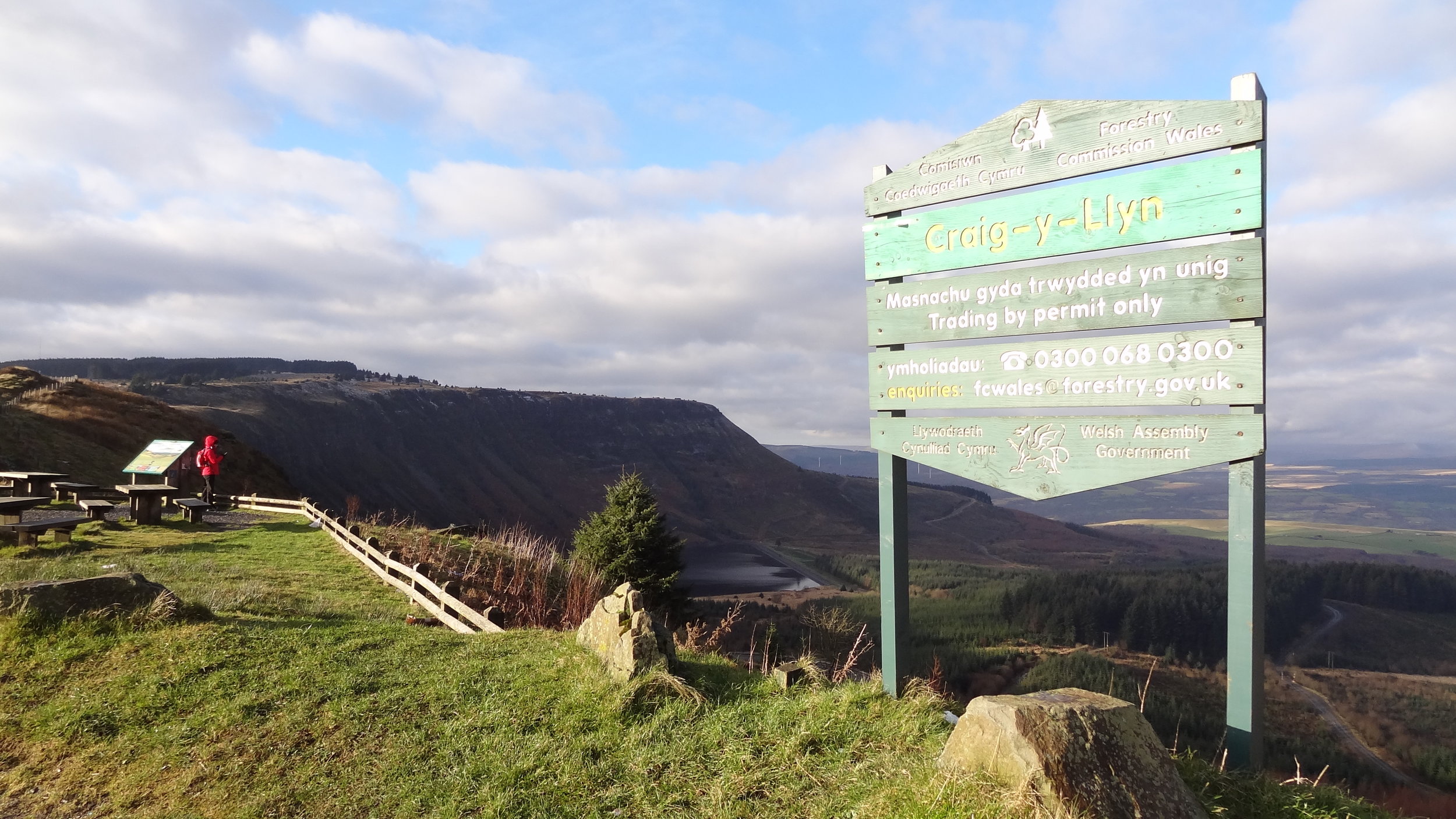
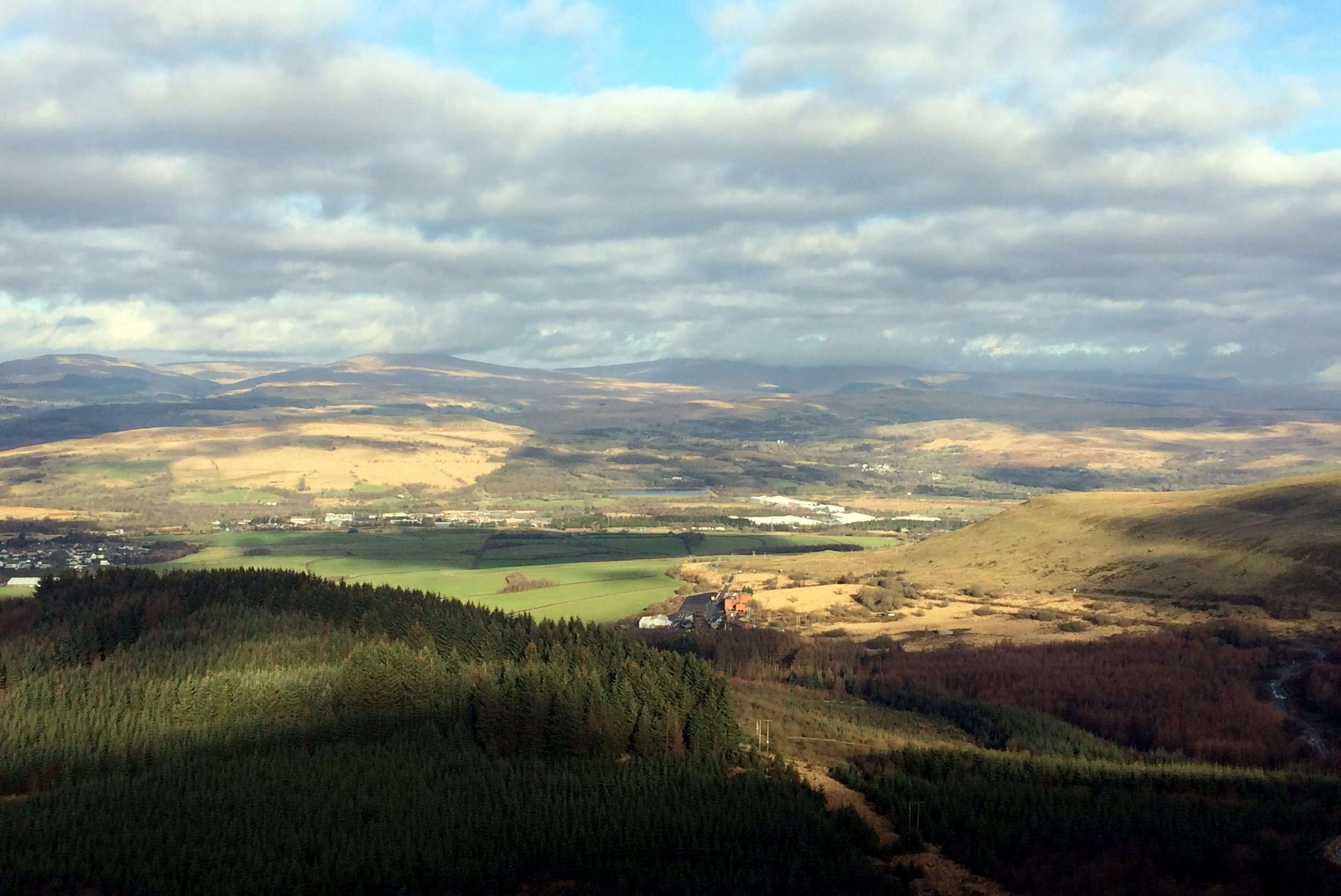
View from the path to Craig y Llyn
Significance: Highest peak in Glamorganshire (Historic CT), High Point of South Glamorgan Preserved County, High Point of Neath Port Talbot Principal Area
Member of: Marilyn
Parent Peak: Fan Nedd
Elevation: 150m
Date climbed: 30th December 2014
Coordinates: 51°42′57″N 3°35′06″W
Route Start / End: Rhigos Viewpoint, Rhigos Road, Rhigos, CF42 5RY
Route Distance: 5.2 km (3.2 miles)
Route Elevation Change: +/- 126m
Subsidiary tops on route: Craig y Llyn East Slope (590): High Point of Mid Glamorgan Preserved County and Rhondda Cynon Taff Principal Area
GPX File: get via Buy Me a Coffee
Other routes touched (walk): None
Other routes touched (cycle): NCN 47
Map: OS Explorer Map (166) Rhondda and Merthyr Tydfil
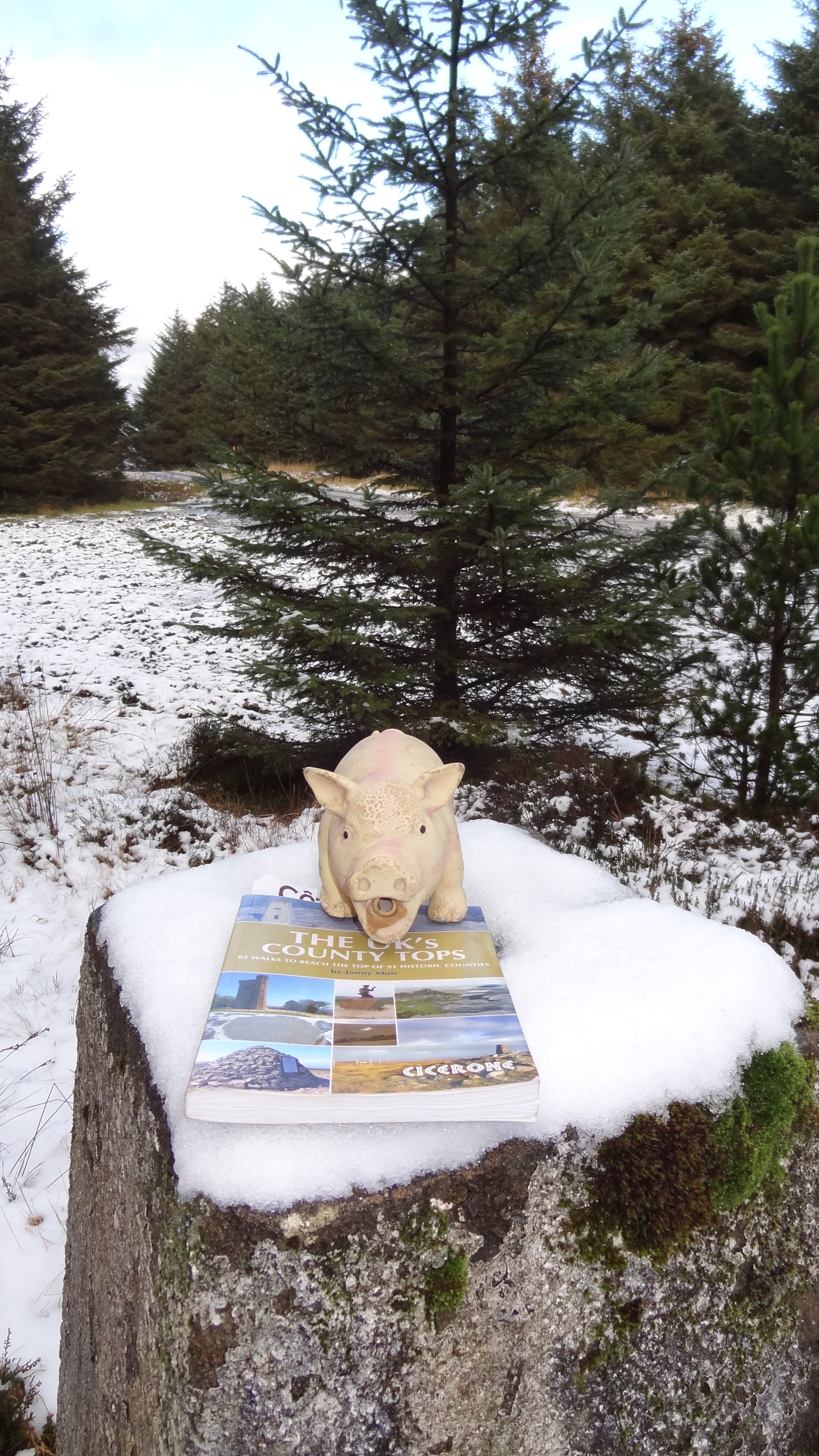
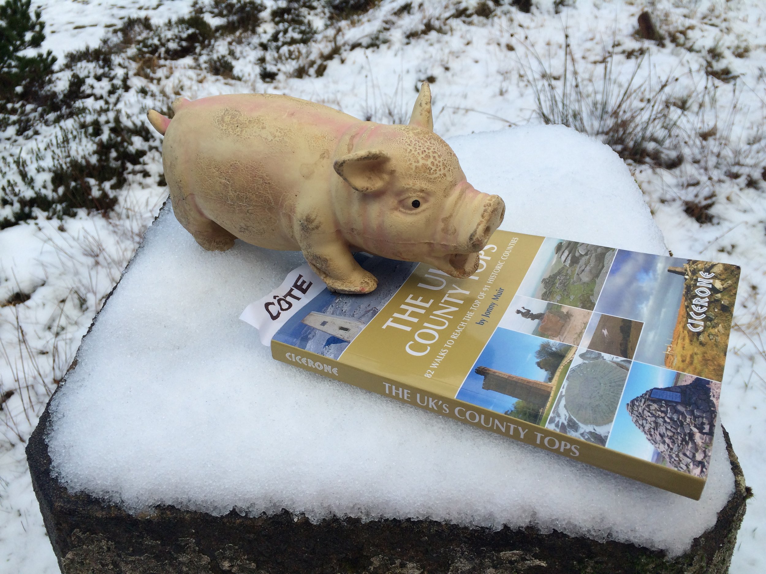
Guidebook: The UK's County Tops (Jonny Muir)
Links: Wikipedia, Peakbagger, Trigpointing
OTHER HIGH POINTS IN Glamorganshire
Mynydd Llangeinwyr / Werfa (568m). Highest point in the Principal Area of Bridgend: Peakbagger / Hillbagging
Pen March (535m). Highest point in the Principal Area of Caerphilly: Peakbagger / Hillbagging
Merthyr Common (531m). Highest point in the Principal Area of Merthyr Tydfil: Peakbagger / Hillbagging
Mynydd y Betwys (373m). Highest point in the Preserved County of West Glamorgan and the Principal Area of Swansea: Peakbagger / Hillbagging
Garth Hill (307m). Highest point in the Principal Area of Cardiff: Peakbagger / Hillbagging
Tair Onnen (137m). Highest point in the Principal Area of Vale of Glamorgan: Peakbagger / Hillbagging
When: December 14th 2014
Where: Milton Keynes, Buckinghamshire, UK
Course: 1 big loop of Milton Keynes & surrounding villages including Grand Union Canal towpath.
Other routes touched (walk): Grand Union Canal Towpath
Other routes touched (cycle): Hanslope Circular Ride, NCN 6, 51
Finish time: 1:57
When I signed up for the Milton Keynes Half I wasn't expecting much. The town has a reputation for not being very interesting and I assumed that its Half may be similar. I usually go for more local events and I signed up for this one mainly because there was nothing else interesting happening in December. October and November is peak running event season with a winter break before it picks up again in March and April.
The MK Winter Half turned out to be a really interesting route through the countryside surrounding the town. Its a relatively flat, single anticlockwise loop made up of mostly cycle paths and parks. It starts and ends next to the Grand Union canal in a small and (at the time) muddy field. I loved the route, especially the canal tow-paths and disused railway tracks. The Grand Union will be a familiar sight in my Growlerthon year as I'll be returing to it in January for the Ultra-Marathon then again in April to cycle the length of it.
Despite the flat course and run-friendly temprature, I was 10 minutes off my PB at the London Royal Parks 2 months earlier. The sleigh-ful of wine and a late night at the office Christmas Party 2 days before probably didn't help.
When: November 16th 2014
Where: Radnage Village Hall, Green Ln Radnage, High Wycombe, HP14 4DN
Course: Single-lap bow-tie shaped double loops.
Other routes touched (walk): Chiltern Way
Other routes touched (cycle): Chilterns Cycleway
Finish time: 56 mins
For event #3 in Growlerthon, I went to Radnage in South Oxfordshire for their annual Rugged Radnage 10K cross-country race. It had been a while since I'd done a proper muddy run and this one gave me what I needed. Radnage is a small village set in some beautiful countryside. The mid-November timing gave an amazing autumnal backdrop to a fun, challenging run across local farms and woods. The killer final 1K uphill to the finishing point gave a satisfying ending to the run.
Thanks to my friend Sara and the other local volunteers for a friendly, well organised event.
For a few years I imagined a half marathon that follows the Thames Path in London crossing every bridge along the way. On a chilly day in November, with only minor route planning on Google Maps, I gave it a go.
The route starts at Westminster Bridge, heading east towards Tower Bridge. The rules are that every accessible bridge must be crossed and each side of the river covered. This means a zig-zagging route up to Tower Bridge, then the opposite zig-zag back to Westminster and onwards to Chelsea Bridge. This marks the final turn back eastwards, finishing at County Hall on the South side of Westminster Bridge.
My Garmin read 14.1 miles at the end, 1 mile over a true half. Staying tighter to the river would have carved off most of that extra mile. I made this first attempt on a busy Saturday afternoon, and the crowds around Tower Hill and County Hall meant that a diversion was needed at times. My run took nearly 3 hours, mostly due to lack of carbs the day before and a very crowded route that became a slow walk in some parts. An early-morning crowdless route would be do-able in under 2hrs.
Its a great route for views of London and never boring. Its unlikely to be practical to be run as a large organised event due to the many road crossings and narrow alleys, but it works well for small groups.
Here's the details... (N) and (S) indicate North or South direction of travel across the bridge.
Section 1
Start at Westminster Bridge North side by the Houses of Parliament
Head east along the Embankment towards Tower Bridge
Cross Hungerford Footbridge (S), head east
Cross Waterloo Bridge (N), head east
Cross Blackfriars Bridge (S), head east
Cross the Millennium Footbridge (N), head east
Cross Southwark Bridge (S), head east
Cross London Bridge (N), head east
Cross Tower Bridge (S), now start heading back towards Westminster
Section 2
Cross London Bridge (N), head west
Cross Southwark Bridge (S), head west
Cross the Millennium Footbridge (N), head west
Cross Blackfriars Bridge (S), head west
Cross Waterloo Bridge (N), head west
Cross Hungerford Footbridge (S), head west
Cross Westminster Bridge (N), head west
Cross Lambeth Bridge (S), head west
Cross Vauxhall Bridge (N), head west
Cross Chelsea Bridge (S), now start heading east back towards Westminster
Section 3
Cross Vauxhall Bridge (N), head east
Cross Lambeth Bridge (S), head east
Finish at Westminster Bridge, south side by County Hall
GPX File: get via Buy Me a Coffee
Other routes touched (walk): Thames Path, Jubilee Walkway, Jubilee Greenway
Other routes touched (cycle): NCN 4, CS3, CS8
Maps:
- OS Explorer Map (161) London South, Westminster, Greenwich, Croydon, Esher & Twickenham
- OS Explorer Map (173) London North, The City, West End, Enfield, Ealing, Harrow & Watford
See also: London Bridges Half Marathon 2 (Alternative Route)
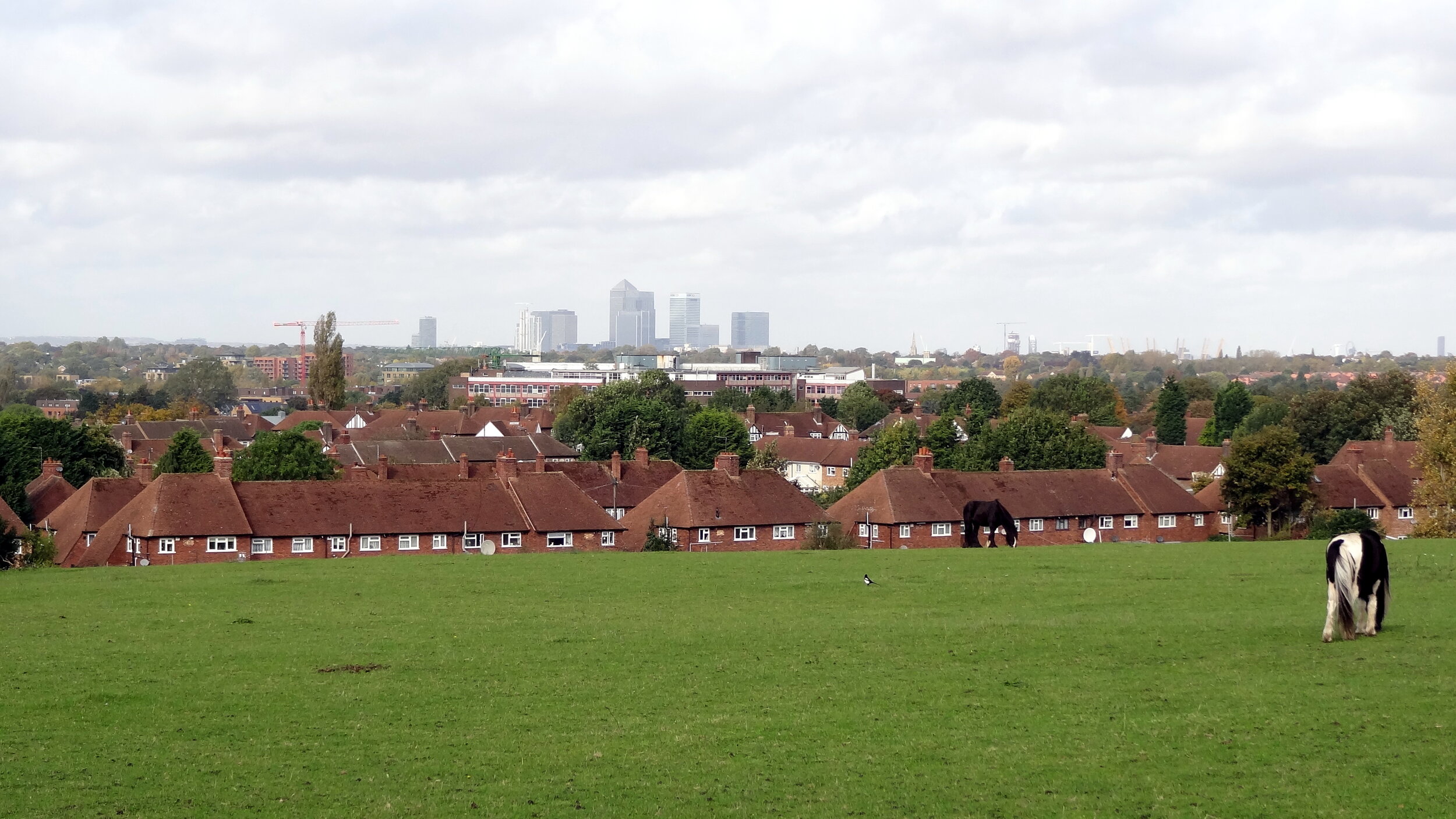
View to the city on the northern section
Start & Finish: Old Deer Park Car Park, Park Lane, Richmond, TW9 2RA
Distance: 127 km / 79 miles
Elevation Change: + / - 1,017m
GPX File: get via Buy Me a Coffee
Other Routes Touched (Walk): Thames Path, Wandle Trail, Green Chain Walk, King John’s Walk, Explore Charlton Trail, Jubilee Greenway, The Greenway, Lea Canal Towpath, Lea Valley Walk, New River Path, Grand Union Canal Towpath
Other Routes Touched (Cycle): NCN 1, 13, 20, 21, 4 / CS 1, 2, 3
Guidebook: The Capital Ring by Colin Saunders. Arum Press.
Maps:
- OS Explorer Map (161) London South, Westminster, Greenwich, Croydon, Esher & Twickenham
- OS Explorer Map (173) London North, The City, West End, Enfield, Ealing, Harrow & Watford
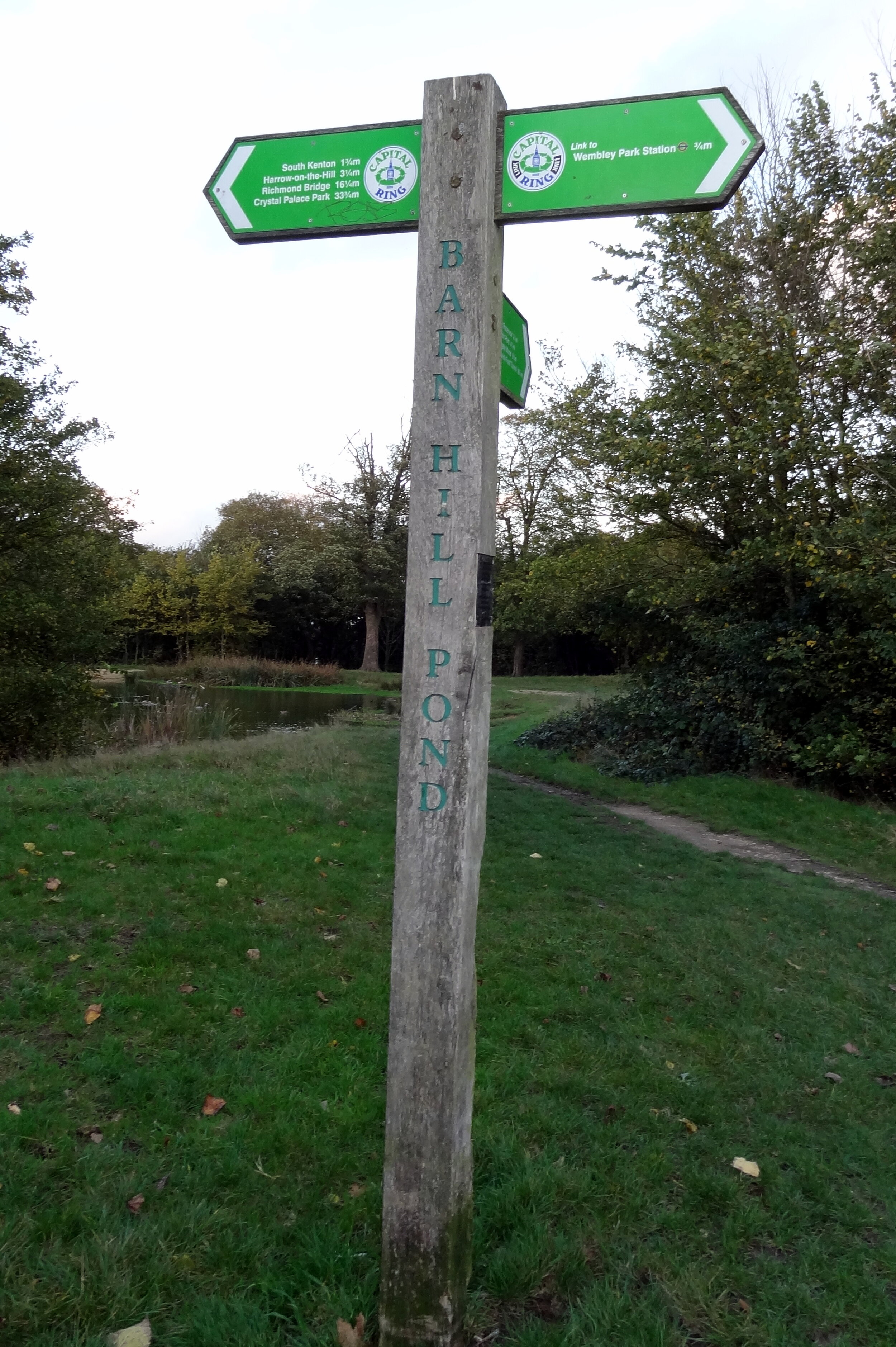
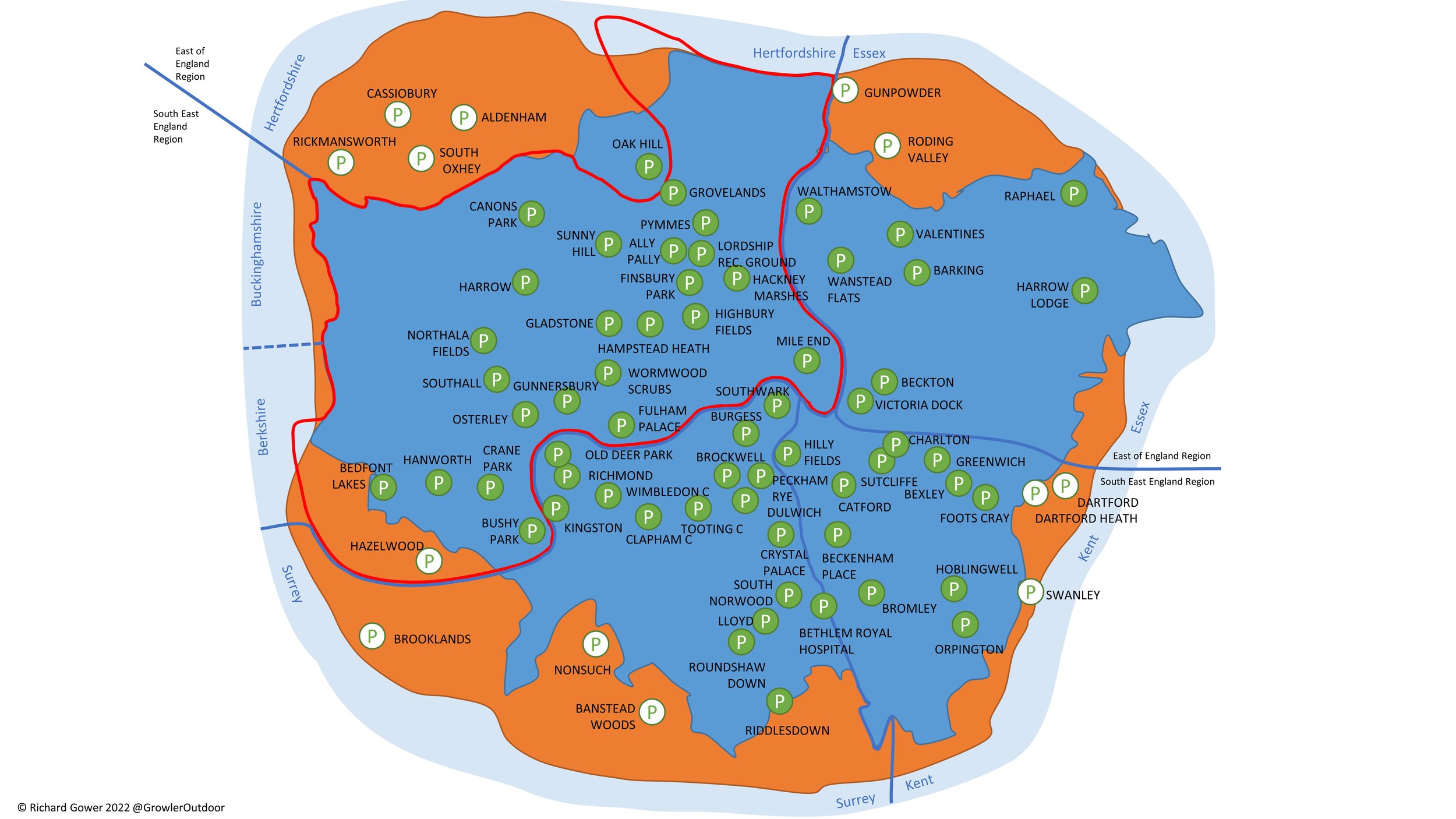
The Capital Ring is a 78 mile walking route circling inner and central London. It was established in 2005 as a continuous signposted route that takes in many of London’s parks and green spaces. Whilst there are many books and articles detailing how to walk it, there’s very little in the way of advice for cyclists. That’s probably intentional as some parts, particularly Richmond Park and Wimbledon Common, specifically prohibit cycling along the route.
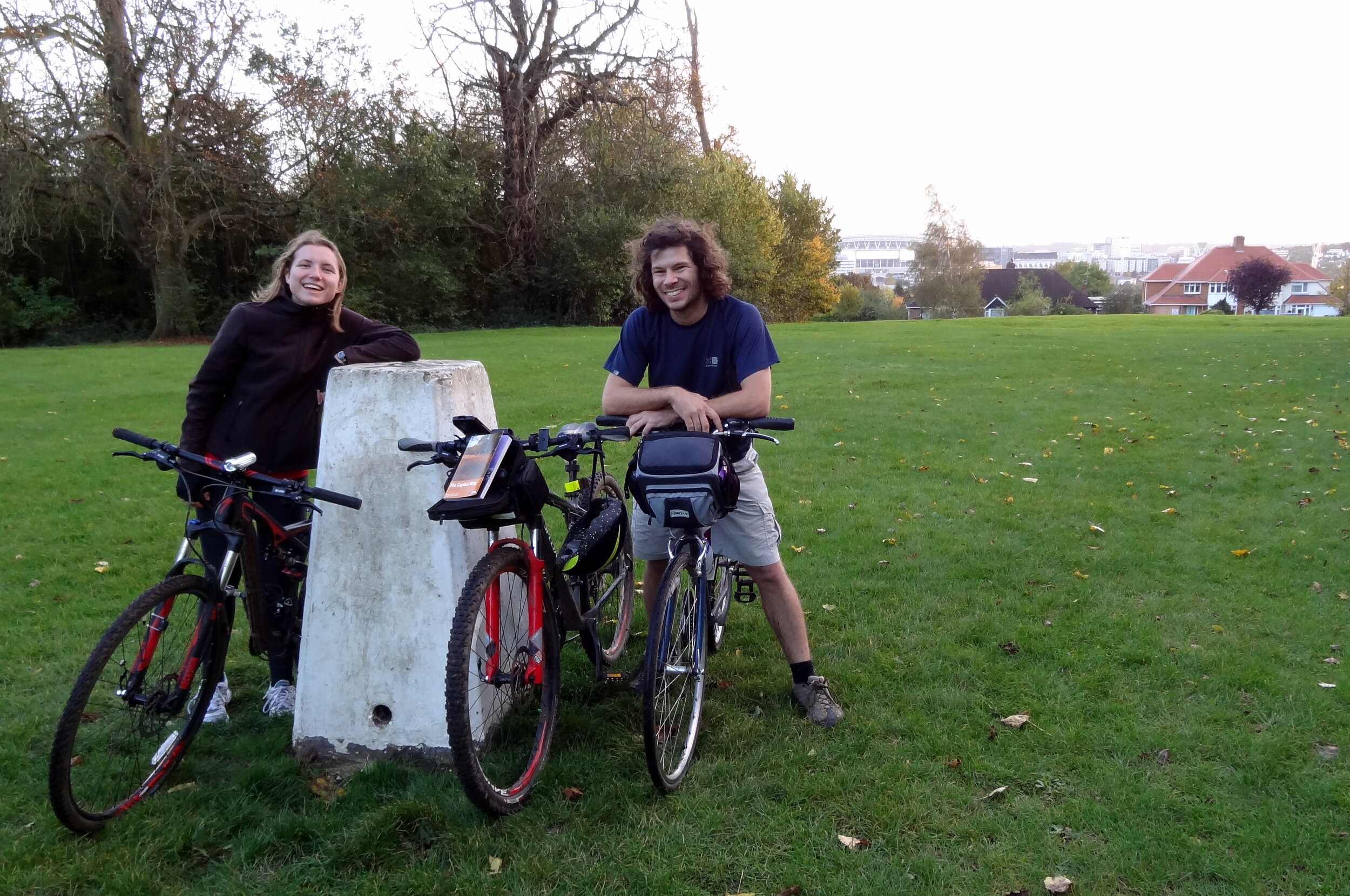
My first attempt at cycling the Capital Ring was in 2013, 6 months after a successful 2-day adventure on its big sister, the 150 mile London Loop. Having found the Loop relatively straightforward I considered the Ring to be easy. My first attempt with 2 friends failed spectacularly with a combination of my ineffective navigation, Brian’s broken bike and Ray’s broken body. A broken chain en-route to the start and some confusion over the meet-up point meant an 11 am start, far too late for a 70+ miler on an autumn day. We decided to see how far we could get and less than 20 miles in we realised it wasn’t going to happen. We ended up with a smaller 45 mile trip. A nice day but we hadn’t conquered the Capital Ring.
I’d learnt my navigation lesson by the 2nd attempt 1 year later. Previously I’d been relying only on Colin Saunders’ excellent guide to the route. It's appropriately detailed and, whilst great for walkers, it's not something that you can read whilst cycling at speed. Although the route is well signposted it'seasy to miss the signs every now and then. The solution for attempt 2 was a handlebar mounted iPhone case and a cycling app with a GPX file of the route. This was the single most important reason that we were able to complete the route in a day.
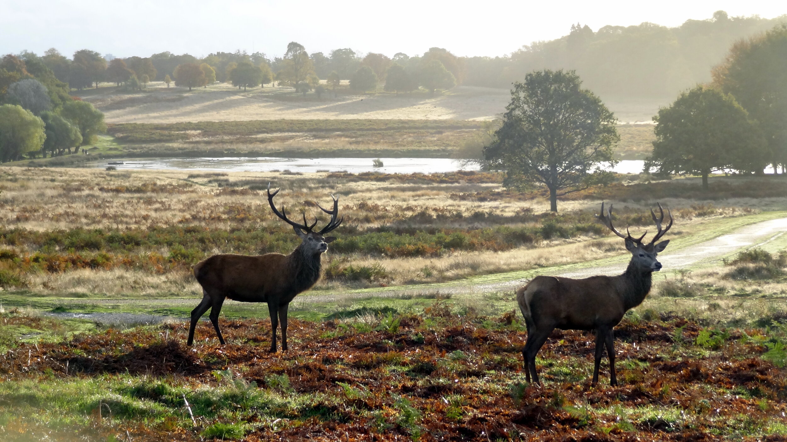
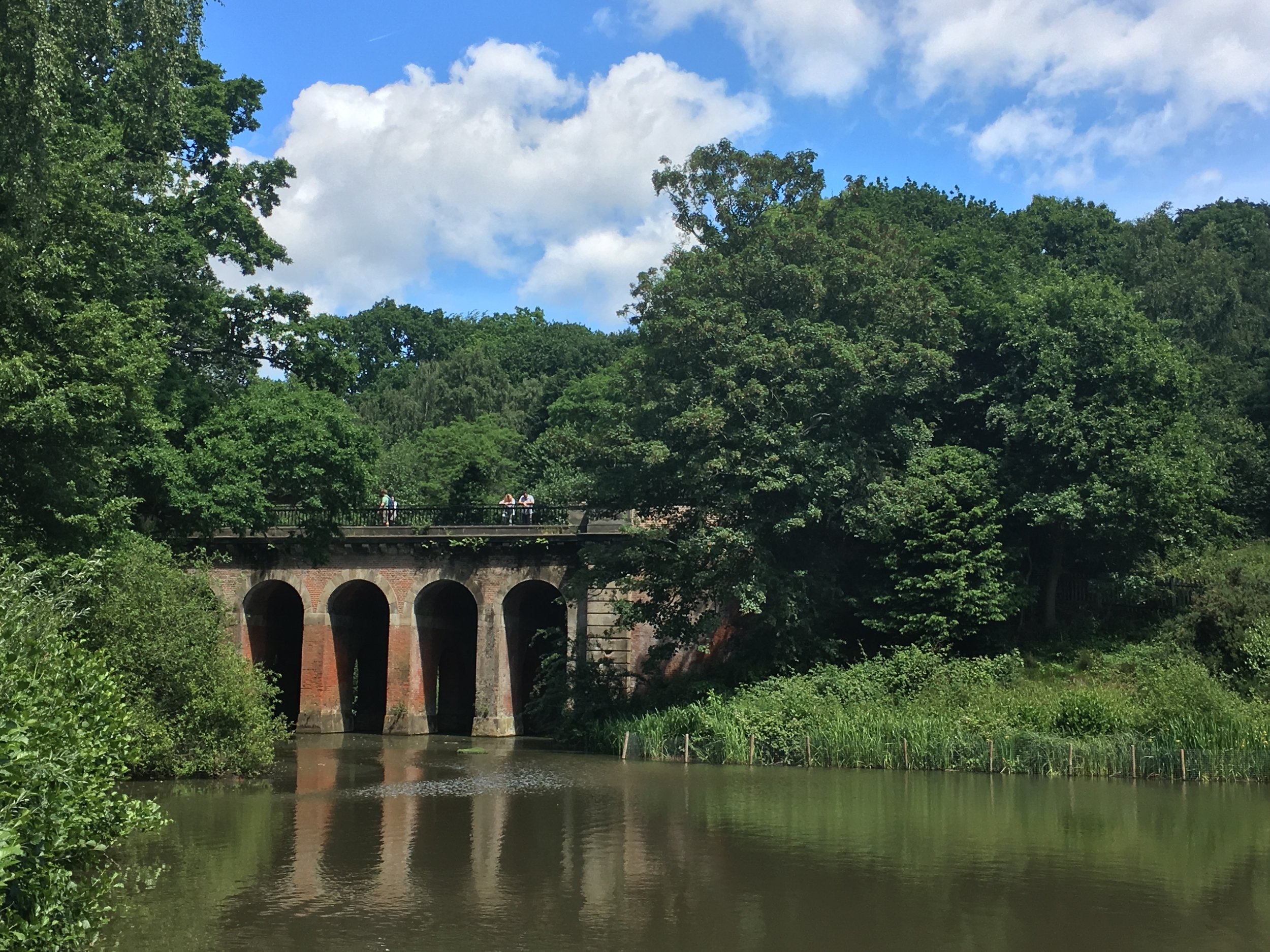
The route itself is a well thought-out mix of some well-known and unfamiliar parts of London. Although the official start is the Woolwich tunnel on the eastern side, you can pick it up wherever you want. We started on the far west at Richmond Bridge going anti-clockwise. This gave us some amazing early-morning views across Richmond Park and some great photo opportunities with the deer. The official Capital Ring route through the park prohibits cycling so its important to take a detour here to avoid annoying the early morning walkers and the potential £50 fine for cycling on the wrong paths.
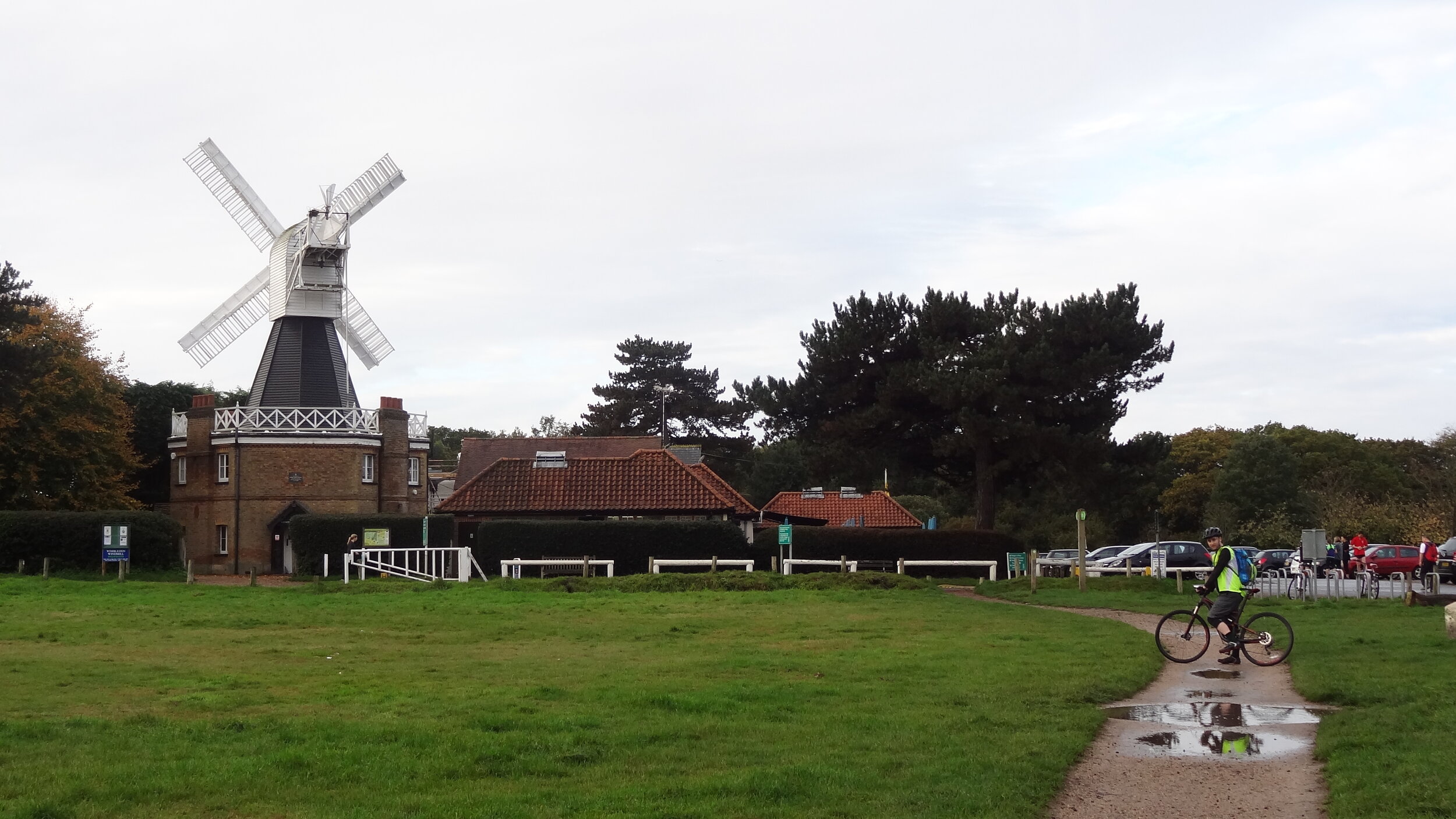
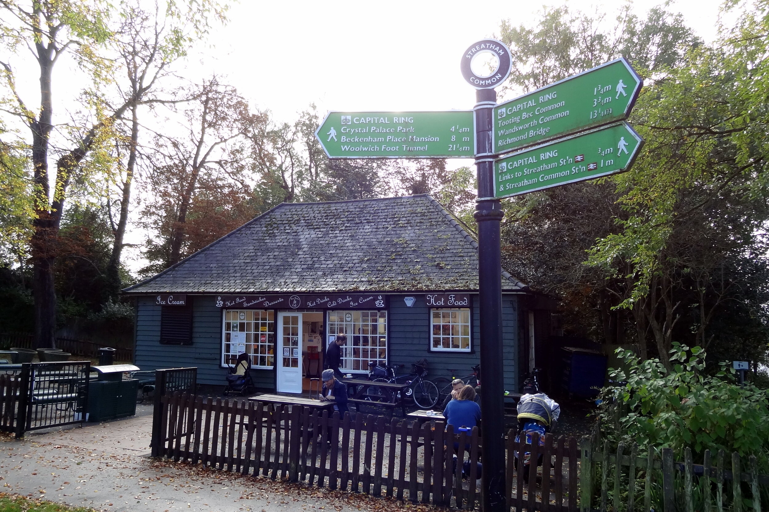
The rest of the south side is fairly scenic taking in Wimbledon Common, Streatham and on to Eltham. The route crosses the river at the Woolwich Foot Tunnel before the less than scenic parts around London City Airport and Barking. The route gets interesting again when it joins a long stretch of converted railway called the Greenway taking you to the Queen Elizabeth Olympic Park.
The North London section is mostly a nice combination of canals and parks with some busy sections around the A1/A406 road links near Brent Cross. This section reaches its literal peak at Harrow On The Hill which, based on our chosen start point, came just as the sun went down and tiredness set in. From Harrow it's down-hill all the way back to Richmond Bridge. The official route takes advantage of canal and stream towpaths although we took an alternative road-based route trying to avoid falling into the Grand Union in the dark.
Our experience proved that cycling the Capital Ring is both practical and rewarding. There’s no detailed guide to cycling the Ring yet, so I recommend some careful planning and being prepared for some spontaneous detours. I would say that ~90% of the route is cycle friendly with easy alternatives for the rest. A good GPS device will help you get back on track when you get lost or need to make a detour to avoid a muddy hill. For enjoyment go for 2 days and take a slow pace. This will give you time to read the guide book as you go and learn about the interesting places along the way. The 1 day version we did becomes a very different experience altogether as it's more of a physical and navigational challenge. Either way it's an incredibly rewarding route and a unique way to see the Capital.
Capital Ring Elevation Profile
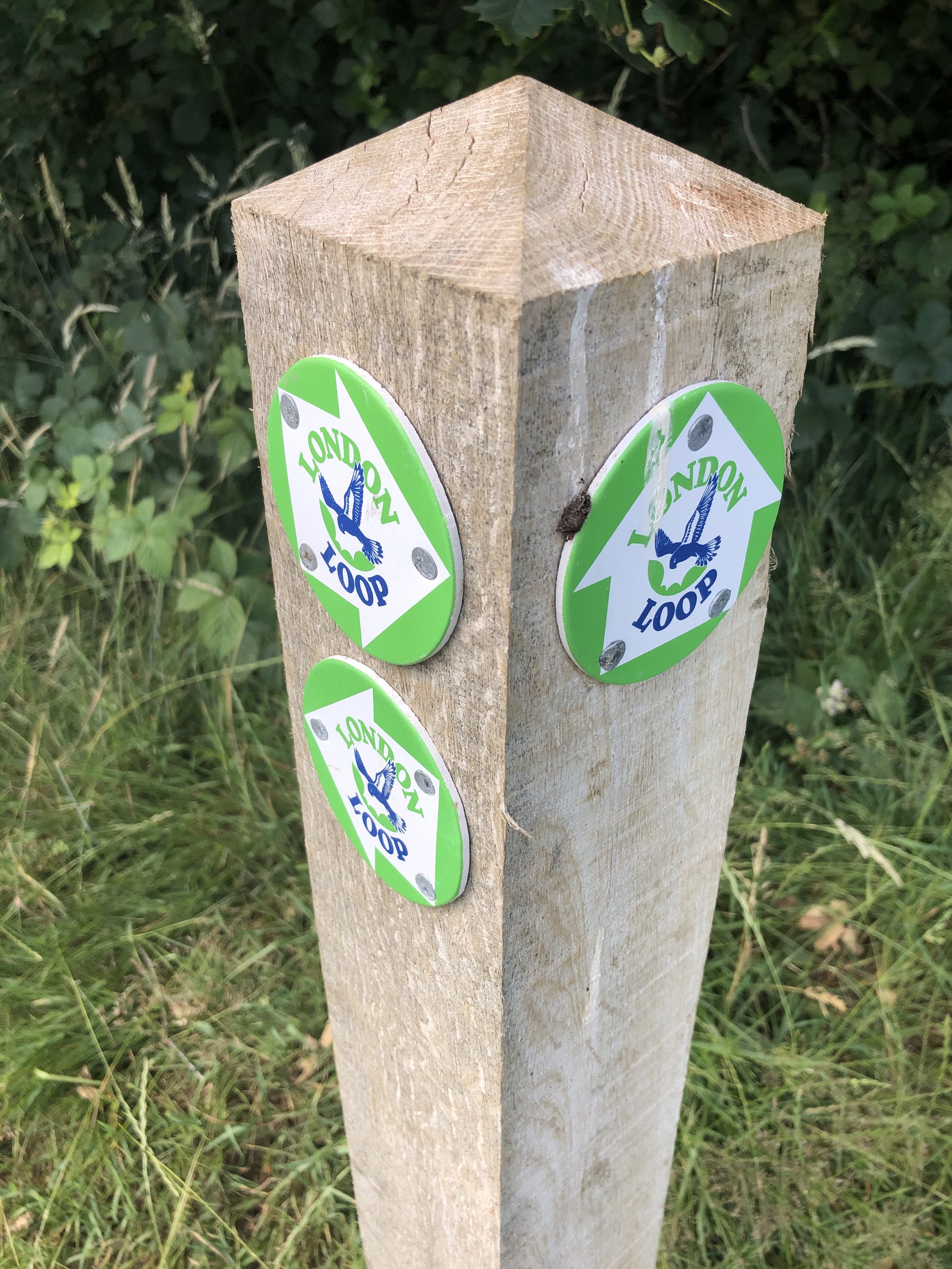
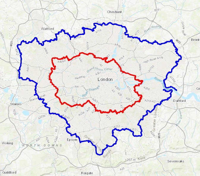
The Capital Ring and The London Loop
London Loop in Blue, Capital Ring in Red. Base map from OpenStreetMap
More London posts
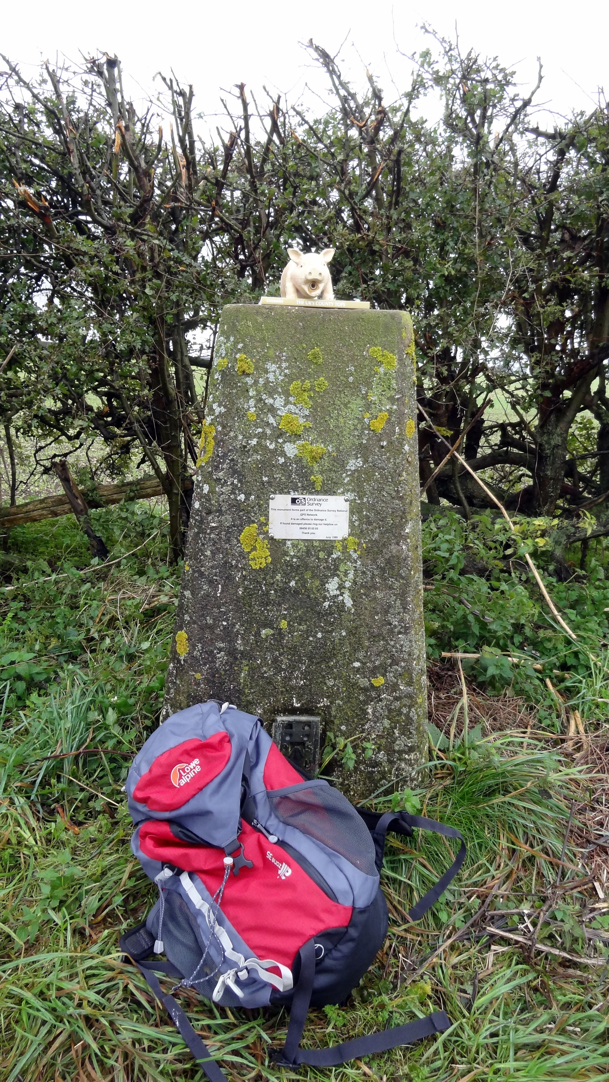
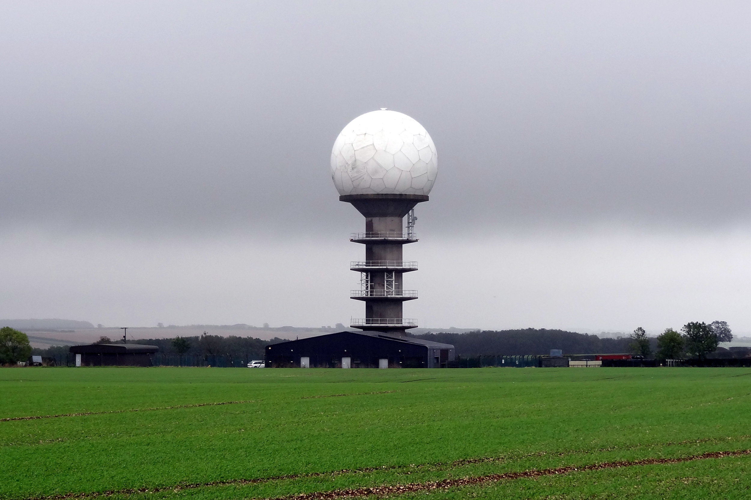
Radar tower near the summit
Normanby Top
Also Known As: Wolds Top, Normanby Hill, The Wolds
Significance: Highest peak in Lincolnshire (Historic County Top), Parts of Lindsey (Administrative County Top), Lincolnshire Wolds National Landscape
Member of: Marilyn
Parent Peak: Walton Hill.
Nearest Higher Neighbour: Bishop Wilton Wold
Elevation: 168m
Date climbed: October 14th 2014
Coordinates: 53°27′09″N 0°18′48″W
Route Start / End: Near radio station tower (massive golf ball) on east-west road between Normanby Road and B1225
Route Distance: 1.1 km (0.7 miles)
Route Elevation Change: +/- 5m
Subsidiary tops on route: None
GPX File: get via Buy Me a Coffee
Other routes touched: None
OS Trig Pillar: TP0753 - Acre
Map: OS Explorer 282: Lincolnshire Wolds North
Guidebook: The UK's County Tops (Jonny Muir), Walking the County High Points of England (David Bathurst)
Links: Wikipedia (Lincolnshire), Wikipedia (Parts of Lindsey), Wikipedia (Normanby Top), Peakbagger, Hillbagging
OTHER HIGH POINTS IN Lincolnshire
Viking Way (151m) Parts of Kesteven Administrative County High Point: Peakbagger / Hillbagging
Wold Newton (117m) North East Lincolnshire Unitary Authority High Point: Peakbagger / Hillbagging
Saxby Wold (102m) North Lincolnshire Unitary Authority High Point: Peakbagger / Hillbagging
Pinchbeck Marsh (8m) Parts of Holland Administrative County High Point: Peakbagger / Hillbagging
