Sedgley Beacon: Wolverhampton High Point

Also known as: Sedgley Beacon - East Slope
Significance
: Metropolitan Borough High Point for Wolverhampton
Parent Peak: Walton Hill
Nearest Higher Neighbour: Cawney Hill
Historic County: Staffordshire (of which Cheeks Hill is the County Top)
Elevation: 235m
Date climbed: July 27th 2024
Coordinates: 52° 32' 51'' N, 2° 6' 51'' W
OS Trig Pillar: N/A, nearest is TP5243 - Orton Hill


Route Start / End: Parking spot near 62 Beacon Ln, Sedgley, Dudley DY3 1NA
Route Distance: <1 km (<1 miles)
Route Elevation Change: +/- 6m
GPX File: get via Buy Me a Coffee
Other routes touched (walk): Limestone Walk
Map: Wolverhampton & Dudley Map | Stourbridge & Kidderminster | Ordnance Survey | OS Explorer Map 219
Links: Wikipedia (Wolverhampton, Beacon Hill), Peakbagger, Hillbagging


Sedgley Beacon is the high point of the Metropolitan Borough of Wolverhampton, within the Historic County of Staffordshire and Ceremonial County of West Midlands.

This is definitely one for the completists as you’re highly unlikely to visit this place unless you live there or are high-point bagging. We noted the line in the Wikipedia article: “By 2024, the area was being plagued with anti social behaviour, vandalism and car thefts.” and decided not to hang around. You can drive almost to Beacon Tower, however you need to park at the gates at the end of Beacon Lane and take the footpath for the final few metres. However, bagging the Beacon doesn’t mean that you’ve got the high point of Wolverhampton as the border with Dudley is on the other side of the tower. You can’t get to the actual Wolverhampton high point but you can get close if you walk or drive around the corner to the #38 Monument Lane, a small cul-de-sac off the main Monument Lane. There’s some metal railings at the end of the road where you could imagine a nice view.


Barr Beacon: Walsall High Point

Barr Beacon War Memorial

Significance: Metropolitan Borough High Point for Walsall
Parent Peak: Walton Hill
Nearest Higher Neighbour: Turner’s Hill
Historic County: Staffordshire (of which Cheeks Hill is the County Top)
Elevation: 227m
Date climbed: July 27th 2024
Coordinates: 52° 34' 24'' N, 1° 54' 40'' W


Route Start / End: Parking at Beacon Road, Aldridge, Walsall, WS9 0QW
Route Distance: 0.8 km (0.5miles)
Route Elevation Change: +/- 4m
GPX File: get via Buy Me a Coffee
Other routes touched (walk): Beacon Way
OS Trig Pillar: TP1049 - Barr Beacon Resr
Map: Birmingham Map | Walsall, Solihull & Redditch | Ordnance Survey | OS Explorer Map 220
Links: Wikipedia (Walsall, Barr Beacon), Peakbagger, Hillbagging


Barr Beacon is the high point of the Metropolitan Borough of Walsall, within the Historic County of Staffordshire and Ceremonial County of West Midlands.

After our Wrekin walk earlier in the day we got talking to a guy in a pub where we were having lunch. He overheard our conversation about the day’s hill-bagging and offered us some advice. For Barr Beacon his main advice was “don’t go there unless you want to have your car stolen” … and especially don’t go there at night. We couldn’t really tell if he was joking or not but we were definitely going to bag it and had no intention of going there at night anyway.

Barr Beacon is a high, narrow ridge with views to the east and west. There’s a large car park at the top and the summit, near the War Memorial, can be done in a few minutes. We got there early afternoon on a Saturday and, although there were some dodgy looking cars, there were also families around having picnics.

The OS Trig Pillar is a little further north from the high point and in private land protected by a metal fence. There’s a spot in the fence with a post missing to the right of the road where it curves down the hill. If you can find that you can squeeze through and climb through the hedge into the field to bag the pillar. It’s fairly unpleasant as you need to climb over some fly-tipped debris and avoid the tree that has been used as a toilet.

Having bagged the high point and Tig Pillar we were happy to see that our cars were still there.


Castle Ring: Cannock Chase National Landscape High Point

Significance: National Landscape High Point for Cannock Chase
Parent Peak: Walton Hill
Nearest Higher Neighbour: Cawney Hill
Historic County: Staffordshire (of which Cheeks Hill is the County Top)
Elevation: 242m
Date climbed: July 27th 2024
Coordinates: 52° 42' 49'' N, 1° 56' 15'' W


Route Start / End: Parking area for Castle Ring Scheduled Ancient Monument Holly Lane, WS15 4RN
Route Distance: >1 km (>1 miles)
Route Elevation Change: +/- 10m
GPX File: get via Buy Me a Coffee
Other routes touched (walk): E2 Hiking Trail Birmingham
Map: Cannock Chase & Chasewater Map | Stafford, Rugeley & Cannock | Ordnance Survey | OS Explorer Map 244
Links: Wikipedia (Cannock Chase, Castle Ring), Peakbagger, Hillbagging


Castle Ring is an Iron Age hill fort and the highest point of the Cannock Chase National Landscape. I’ve heard that there’s a lot of great walking in Cannock Chase but that will need to wait for another day as we were on a mission to bag a lot of high points that day.

We did this as a quick drive-by with a 15 minute walk from the free car park. According to the coordinates in peakbagger the Cannock Chase high point is right in the centre of the ring. The man-made outer circle is higher so we walked round the top of it to the high point on the western edge. You can take a faint path through the vegetation to cross the centre, bag the high point and exit on the south-eastern side.


The Wrekin: Telford and The Wrekin High Point

View to the toposcope and transmitter from the Trig Pillar


Significance: Unitary Authority High Point for Telford and The Wrekin
Nearest Higher Neighbour: Caer Caradoc Hill
Historic County: Shropshire (of which Brown Clee Hill is the County Top)
Elevation: 407m
Date climbed: July 27th 2024
Coordinates: 52° 40' 9'' N, 2° 33' 5'' W


Route Start / End: The Wrekin Forest Glen Car Park, Little Wenlock, Telford, TF6 5AL
Route Distance: 7.2 km (4.5 miles)
Route Elevation Change: +/- 307m
Subsidiary tops on route: Little Hill (232m)
GPX File: get via Buy Me a Coffee
Other routes touched (walk): Telford T50, Shropshire Way
OS Trig Pillar: TP0712 - Wrekin
Map: Telford, Ironbridge & The Wrekin Map | Ironbridge Gorge | Ordnance Survey | OS Explorer Map 242
Links: Wikipedia (Telford and The Wrekin, The Wrekin), Peakbagger, Hillbagging


The Wrekin was the literal high point of a day of bagging High Points of the West Midlands. The rest were quick drive-bys in obscure and often dodgy areas so we made the most of the Wrekin trip to make it a circular rather than an out-and-back.

Like most people we started at The Wrekin Forest Glen Car Park. It gets full quickly in the summer but we were lucky and got a space. The annoying thing was that payment is only by credit card or via an app that I’d never seen before. The card machine wasn’t working and there was no mobile signal so we ended up having to pay on-line half-way up the ascent.

With parking drama out of the way we took the shortest route to the summit on the Telford 50 trail. We were there on a clear day so we got a great view at the top across to Wales on the western side and Staffordshire on the east. The summit has an OS trig pillar, a toposcope, a transmitter tower and the remains of an Iron Age fill fort.

From the top we continued walking south-west for another 1 km down to Little Hill. It was marked on the map so we thought we’d check it out but there was little to mark it and no view. Continuing another 20m we took a left onto a footpath, then another left to pick up a path that lead us back to the car-park on a lower level.


Walking The Monarch's Way Part 1: Powick Bridge to Worcester

Worcester Bridge


Start & Finish: Worcester Bridge, New Road, Worcester, WR2 4RL
Distance: 7.4 km (4.6 miles)
Elevation change: +/- 32m
GPX File: get via Buy Me a Coffee
Other routes touched (walk): None
Other routes touched (cycle): NCN 46
Pubs / Cafes on route: Some shops on the A449 but better to eat in Worcester City Centre at start and end
Map: Worcester & Droitwich Spa Map | Severn Way | Ordnance Survey | OS Explorer Map 204
Links: Monarch’s Way (Wikipedia / LDWA), Worcester, Powick, Battle of Worcester, River Severn


The Monarch's Way is a 625-mile long-distance path that approximates the escape route taken by King Charles II in 1651 after being defeated in the Battle of Worcester. I had followed and crossed sections of it on several other trips but, due to it’s length, never had it on my list to complete. It’s still not on my list, but as I was staying overnight in Worcester I decided to do an early morning run/walk on the first section.

This circular route starts and ends at Worcester Bridge and takes in (almost) the first 5km of the Monarch’s Way. From the Bridge follow the A44, then the A449 in a south-westerly direction for 2.5 km until you reach Old Road. Follow Old Road to Powick Bridge. Here you’ll find the engraved stone that marks the start of the Monarch’s Way. A information board at the start commemorates the thousands of Scots who lost their lives at the Battle of Worcester. Powick Bridge saw both the first and last battles of the English Civil War.

From the start of the trail on Old Road, take a left to follow a footpath through the end of a field on the northern bank to the River Teme. After 1.8km of the trail you’ll reach a City of Worcester Boundary stone near the confluence of the River Teme and River Severn. Turn north, still following the path to follow the Severn all the way back to Worcester Bridge. The first half of this River Severn section continues on rough ground on the edge of the field. After Diglis Bridge the path becomes paved and crosses through Worcester Riverside Park.


High Points of The Sussex Rapes

The English county of Sussex holds a unique historical term that can raise eyebrows: the "Rapes." Unlike modern definitions, the term in Sussex refers to a historical administrative division. The origin of the term "Rape" for these regions is shrouded in mystery. Theories range from a possible link to the Old English word "raep," meaning "harvest," to a connection with the Danish word "rape," signifying "district."

The Historic County of Sussex has six Rapes: Arundel, Bramber, Chichester, Hastings, Lewes, and Pevensey. Established sometime before the Norman Conquest of 1066, these Rapes likely predate the current county borders. Each Rape contained smaller subdivisions called "Hundreds," forming the backbone of local administration for centuries. Some historians believe the Rapes might have originated as defensive units, with each Rape centered around a strategically placed castle. This theory aligns with the arrival of the Normans, who are known to have built fortifications across England.

The Rapes continued to be used for administrative purposes for centuries, but their importance gradually declined. By the 19th century, their role had largely been superseded by more modern administrative structures. Today, the Rapes of Sussex remain a fascinating relic of the county's past. Though no longer serving an administrative function, they hold cultural significance and continue to spark curiosity.


Rape of Chichester

Rapal Town: Chichester
Norman Castle: Chichester Castle
Highest Point: Black Down, 280 metres, is also the Historic County Top of Sussex, the Present-Day County Top of West Sussex and the highest point in the South Downs National Park.
OS Trig Pillar: TP1443 - Blackdown
Links: Blog Post, Wikipedia, Peakbagger, Hillbagging


Rape of Arundel

Rapal Town: Arundel
Norman Castle: Arundel Castle
Highest Point: Glatting Beacon, 245 metres
OS Trig Pillar: TP1358 - Bignor Beacon
Links: Blog Post, Wikipedia, Peakbagger, Hillbagging


Rape of Bramber

Rapal Town: Bramber
Norman Castle: Bramber Castle
Highest Point: Chanctonbury Hill, 242 metres
OS Trig Pillar: TP2110 - Chanctonbury Ring
Links: Blog Post, Wikipedia, Peakbagger, Hillbagging


Rape of Lewes

Rapal Town: Lewes
Norman Castle: Lewes Castle
Highest Point: Ditchling Beacon, 248 metres, is the Present-Day County Top of East Sussex.
OS Trig Pillar: TP0760 - Ditchling
Links: Blog Post, Wikipedia, Peakbagger, Hillbagging


Rape of Pevensey

Rapal Town: Pevensey
Norman Castle: Pevensey Castle
Highest Point: Crowborough Beacon, 242 metres, is also the high point of the High Weald National Landscape.
OS Trig Pillar: TP2630 - Crowborough
Links: Blog Post, Wikipedia, Peakbagger, Hillbagging


Rape of Hastings

Rapal Town: Hastings
Norman Castle: Hastings Castle
Highest Point: Brightling Down, 197 metres
OS Trig Pillar: N/A. Closest is TP4140 - Jurys Gut
Links: Blog Post, Wikipedia, Peakbagger, Hillbagging


Glatting Beacon: Rape of Arundel High Point

View to Glatting Beacon from the South Downs Way

Also known as: Bignor Hill
Significance
: Highest point in the Rape of Arundel
Parent Peak: Butser Hill
Nearest Higher Neighbour: Littleton Down
Present Day County: West Sussex (of which Black Down is the County Top)
Elevation: 245m
Date climbed: July 20th 2024
Coordinates: 50° 55' N, 0° 38' W


Route Start / End: South Downs Way Parking, Chichester, RH20 1PH
Route Distance: 2.8 km (1.7 miles)
Route Elevation Change: +/- 37m
GPX File: get via Buy Me a Coffee
Other routes touched (walk): South Downs Way
OS Trig Pillar: TP1358 - Bignor Beacon
Map: Arundel & Pulborough Map | Worthing & Bognor Regis | Ordnance Survey | OS Explorer Map OL10
Links: Wikipedia (Rape of Arundel, Bignor Hill), National Trust Slindon Estate, Peakbagger, Hillbagging


Like Chanctonbury Hill which we visited earlier in the day, I could have bagged this one on an earlier trip along the South Downs Way. It’s easily accessible as a small diversion from the National Trail and hard to miss (look for the big transmitter in the trees).

We bagged it on a short circular walk from the Bignor Hill South Downs Way Car Park. From the parking, follow the South Downs Way in a westerly direction for ~280m then take a right hand path ascending towards the big transmitter. Near the top, take the service track to the transmitter where you’ll find the Trig Pillar lurking in the undergrowth.

Either return the way you came or return to the main path that you were on, take 2 lefts and you’re back on the South Downs Way. Take another left to follow the Trail back to the car park.


Chanctonbury Hill: Rape of Bramber High Point

View to Chanctonbury Ring from the Trig Pillar


Also known as: Chanctonbury Ring
Significance
: Highest point in the Rape of Bramber
Member of: Marilyns
Parent Peak: Ditchling Beacon
Nearest Higher Neighbour: Ditchling Beacon
Present Day County: West Sussex (of which Black Down is the County Top)
Elevation: 242m
Date climbed: July 20th 2024
Coordinates: 50° 53' 48'' N, 0° 22' 54'' W


Route Start / End: Chanctonbury Ring Car Park, Chanctonbury Ring Road, Steyning, BN44 3DR
Route Distance: 4.3 km (2.7 miles)
Route Elevation Change: +/- 154m
GPX File: get via Buy Me a Coffee
Other routes touched: South Downs Way,
OS Trig Pillar: TP2110 - Chanctonbury Ring
Map: Arundel & Pulborough Map | Worthing & Bognor Regis | Ordnance Survey | OS Explorer Map OL10
Links: Wikipedia (Rape of Bramber, Chanctonbury Hill, Chanctonbury Ring), Peakbagger, Hillbagging


I very nearly bagged Chanctonbury Ring a few years back while cycling the South Downs Way. We stopped to visit the nearby Trig Pillar but I didn’t realise that the Rape of Bramber High Point was so close. So, on a day of bagging my remaining Sussex high points, Mark and I revisited for a short, steep circular walk to visit both the high point and the Trig Pillar.

To follow the same route start at Chanctonbury Ring Car Park and follow Chanctonbury Ring Road in a southerly direction. Continue south as the road becomes a path that leads up to the South Downs Way. We took a short cut up a less-used, steeper path through the woods. It actually didn’t save much time as a guy that we saw taking the longer route arrived at the top at more or less the same time as we did.

Whichever route you take, turn right onto the South Downs Way and head towards the clump of trees that’s the site of the Iron Age hillfort. The South Downs Way goes round the trees on their southern side so you’ll need to leave the trail to follow a smaller path through the trees. The high point isn’t marked but easy to find. From the high point continue west out of the trees to briefly rejoin the South Downs Way before cutting off again to the Trig Pillar.

To return follow the fence to the north of the Trig Pillar back towards Chanctonbury Ring to find a gate and a path that leads back down the hill in a north-westerly direction. At the bottom of the hill take a right on another path that leads back to Chantonbury Ring Road near to the Car Park.


Crowborough Beacon: Rape of Pevensey High Point

View to the south-west from Crowborough Beacon Golf Club


Significance: Highest point in the Rape of Pevensey, High Point of High Weald National Landscape
Member of: Marilyns
Parent Peak: Ditchling Beacon
Nearest Higher Neighbour: Ditchling Beacon
Present Day County: East Sussex (of which Ditchling Beacon is the County Top)
Elevation: 242m
Date climbed: July 20th 2024
Coordinates: 51° 3' 17'' N, 0° 9' 15'' E


Route Start / End: Croft Road Car Park, Pine Grove, Crowborough, TN6 1AR
Route Distance: 3.9 km (2.4 miles)
Route Elevation Change: +/- 47m
GPX File: get via Buy Me a Coffee
Other routes touched: None
OS Trig Pillar: TP2630 - Crowborough
Map: Ashdown Forest Map | Royal Tunbridge Wells, East Grinstead, Haywards Heath & Crowborough | Ordnance Survey | OS Explorer Map 135
Links: Wikipedia (Rape of Pevensey, Crowborough, High Weald), Peakbagger, Hillbagging


I had high hopes for Crowborough as it has “Beacon” in it’s name as is the high point of both the Rape of Pevensey and The High Weald. It turns out that there’s not much to see. The high point is an unmarked spot outside a house called Deep Dene on Warren Road. It can easily be bagged as a drive-by but we chose to park in Crowborough village centre and bag it as a part of a short circular walk.

To follow the same route leave Croft Road Car Park and head north to join the A26 Beacon Road. Take a left onto the A26 and walk in a south-westerly direction for ~700m to the water reservoir opposite Beacon Road West. Here you’ll find the OS Trig Pillar next to a small brick building. Continue south for ~25m to reach the high point at Warren Road.

Continue further south along the A26 to a footpath at the edge of the woods at 2 km into the walk. This is a point marked in Peakbagger as Crowborough South Slope, the High Point of the High Weald. Although Crowborough is completely within The High Weald, the town isn’t part of the National Landscape, so this is technically the highest point rather than the spot at Deep Dene.

Take a left onto South View Road to find the best and only panoramic view of the walk across Crowborough Golf Course. Continue along South view road, then onto Croft Road to return to the Car Park


Brightling Down: Rape of Hastings High Point

Brightling Obelisk


Significance:  Highest point in the Rape of Hastings
Parent Peak: Crowborough Beacon
Nearest Higher Neighbour: Crowborough Beacon
Present Day County: East Sussex (of which Ditchling Beacon is the County Top)
Elevation: 197m
Date climbed: July 20th 2024
Coordinates: 50° 58' N, 0° 23' E


Route Start / End: Small parking spot at junction of Willingford Lane and Mill Lane
Route Distance: 0.6 km (0.4 miles)
Route Elevation Change: +/- 3m
GPX File: get via Buy Me a Coffee
Other routes touched: None
OS Trig Pillar: TP4140 - Jurys Gut (not at the high point, but ~1 km to the south)
Map: Hastings & Bexhill Map | Battle & Robertsbridge | Ordnance Survey | OS Explorer Map 124
Links: Wikipedia (Rape of Hastings, Brightling, Brightling Park), Peakbagger, Hillbagging


The high point of the Rape of Hastings can be found on the edge of the private Brightling Park, currently home to a racehorse training company. The summit is hard to miss as it’s marked by a large obelisk called The Brightling Needle. If you don’t mind a bit of minor trespassing its a 600m out and back walk from a small parking space near the junction of Willingford Lane and Mill Lane.

If you’re no up for tresspassing then don’t hop over the gate into the small wooded area at the south eastern end of Willingford Lane. Don’t follow the track through the woods and hop over another fence into the field, then follow the track up to the Obelisk. Instead, you can see the Obelisk through the fence further down Willingford Lane. Alternatively you can ask permission from the landowner to access the land.

While you’re in the area it’s worth visiting Jury’s Gut, an OS Trig Pillar located 1km to the south on a path next to a kiln-shaped folly called The Sugarloaf.


Walking The South Bucks Way Part 2: Little Hampden to Great Missenden

Farmland near Little Hampden


Start & Finish: Great Missenden Station, HP16 9AZ
Distance: 11.2 km (7.0 miles)
Elevation change: +/- 200m
South Bucks Way section covered: Little Hampden to Great Missenden: 5.19 km
GPX File: get via Buy Me a Coffee
Other routes touched (walk): Chiltern Heritage Trail, The Chiltern Way
Other routes touched (cycle): Chiltern Heritage Trail Hampden Route
Pubs / Cafes on route: The Black Horse (10.3 km in), several in Great Missenden village centre.
Map: OS Explorer Map (181) Chiltern Hills North
Links: South Bucks Way (LDWA), Little Hampden, Great Missenden, Prestwood, Pepperbox Woods


The South Bucks Way is a 37 km (23-mile) trail that promises a delightful escape for walkers and hikers. This scenic route, often overshadowed by its more famous counterparts, offers a tranquil journey through charming villages, lush countryside, and the gentle murmur of the River Misbourne. This post is part of a series of circular walks featuring the South Bucks Way. The full trail stretches from Coombe Hill near Wendover to the Grand Union Canal at Denham. Our walks take in short sections of the South Bucks Way and loop back to the start on other paths. The South Bucks Way is well sign-posted however you’ll need a map or GPX route to keep on track for the return sections of the loops. The guidance below will help but don’t use it as a fully accurate turn-by-turn guide.

Start at the Great Missenden village centre where you’ll find several means to access the start including the railway station, bus stops and car parks. From the station head west over the A4128 Martinsend Lane, crossing over the railway bridge, then take a left into Trafford Road. This first section follows the Chiltern Heritage Trail. Take the footpath on the right to follow the Chiltern Heritage Trail in a westerly direction, through fields and woods to Prestwood.

Leave the Chiltern Heritage Trail when you cross Green Lane, instead continuing in a westerly direction to Prestwood high Street (A4128). Take a right onto Moat Lane and follow it in a north-westerly direction the Horley Bottom and into Pepperboxes Woods. When you reach Rignall Road, take a left onto it and follow it for 200m before taking a footpath on the right into farmland. Follow the path uphill for 1.3 km until you reach Little Hampden Village. Take a right to the village centre where you’ll connect with the southern end of the first section of the South Bucks Way.

Conitnue in an easterly direction, following the same section of the South Bucks Way and Chiltern Way as in Part 1. Instead of turning north through Hampdenleaf Wood, as in part one, continue heading east following the South Bucks Way. Continue along the South Bucks Way in a a south-easterly direction descending to the north end of Great Missenden at the Black Horse pub on Aylesbury Road. Before you cross the road take a moment to stop by the pond between the railway tracks and the road. This is the start of the River Misbourne which you’ll be following for the rest of the South Bucks Way.

Take the footpath on the southern side of the Black Horse pub to follow the South Bucks Way through fields running between the A413 and Aylesbury Road. Be careful in the winter or in wet conditions as this part can get flooded and muddy. The path ends at Link Road which you can follow back to the village centre.


European High Points
 

While ticking off the UK County Tops I have also picked up a few European Country Tops along the way. I don’t think that I’ll bag them all unless I put a serious amount of more time into it. Some are a bit too technical or remote for my preference too. In the meantime, here’s the list of all European Country High Points, some alternatives and disputed ones and notable Island High points. Let me know in the comments if you spot any errors and I’ll donate £1 to one of my Causes for any correction made.


European Country High Points


*Notes

  • Gunnbjørn Fjeld, Greenland is the highest point in the Kingdom of Denmark. However, it is an autonomous territory on the North American continent and is not part of the European Union.

    • Slættaratindur, Faroe Islands is the highest point in the Kingdom of Denmark that is also on the European Continent.

    • Møllehøj is the highesh point on mainland Denmark. Yding Skovhøj is a close second highest with only 0.09m between them.

  • Mahya Dağı is the highest point in the European part of Turkey, while Mount Ararat (not shown above) is the highest point in all of Turkey and is in the Asian part.

    • Selvili Tepe is the highest point in the Turkish Republic of Northern Cyprus. The territory is only recognised by Turkey and is considered by all other states to be part of the Republic of Cyprus.

  • Mont Blanc straddles the border of both Italy and France and is the highest mountain of both countries as well as the highest point in the EU.

    • Monte Bianco di Courmayeur is a subsidiary peak to Mont Blanc and is marked as lying entirely within Italy on the Italian Istituto Geografico Militare while on the French Institut Géographique National (IGN) map the summit lies on the border between France and Italy (source).

    • Barre des Écrins is the highest mountain that is completely within France and was the French high point until the annexation of Savoy in 1860

    • Gran Paradiso is the highest mountain that is completely within Italy.

  • Mount Pico in the Azores is the highest point in the Portuguese Territory, while Serra da Estrela is the highest point on the Portuguese mainland

  • Mount Teide on Tenerife in the Canary Islands is the highest point in the Spanish Territory, while Mulhacén is the highest point on the Spanish mainland.

  • High Points of the British Crown Dependencies: Jersey, Guernsey and the Isle of Man are listed above separately from the UK. UK nations: England, Scotland, Wales, Northern Ireland are not show. See the UK County Tops page for details.


European Island High Points

  • The highest mountain on an island of a European Territory is Mount Teide on the Spanish Canary Islands at 3,718m

  • The highest mountain on an island on the European Continent is Mount Etna on the Italian island of Sicily at 3,342m

  • The largest island in continental Europe is Great Britain which has Ben Nevis as its highest point at 1,345m

Other notable island high points are listed below, grouped by country. I’ve mainly included high points of >1,000m. However, I’ve also included other islands high points that I’ve been to or plan to visit.

France

Greece

Italy

Norway

Norway - Svalbard

  • Monacofjellet, 1,084 metres, Prins Karls Forland Island. (Wikipedia / Peakbagger)

  • Soltindan, 1,051 metres, Ringvassøy. (Wikipedia, Peakbagger)

  • Store Blåmann, 1,044 metres, Kvaløya Island. (Wikipedia / Peakbagger)

Portugal

Russia

Spain - Balearic Islands

Spain - Canary Islands

…the traditional seven:

…and the minor islands:

United Kingdom

  • See UK Islands High Points (coming soon)


More High Points


Walking The South Bucks Way Part 1: Coombe Hill to Little Hampden

View across the Vale of Aylesbury from Coombe Hill


Start & Finish: Coombe Hill Car Park, Coombe Hill, Lodge Hill, Aylesbury, HP17 0UR
Distance: 8.6 km (5.3 miles)
Elevation change: +/- 139m
South Bucks Way section covered: Coombe Hill to Little Hampden: 3.71 km
GPX File: get via Buy Me a Coffee
Other routes touched (walk): Coombe Hill Purple Route, Coombe Hill Orange Trail, The Ridgeway, Outer Aylesbury Ring, The Chiltern Way
Other routes touched (cycle): Chilterns Cycleway
Pubs / Cafes on route: None, but there was an ice cream van in the car park when we got back there at the end.
Map: OS Explorer Map (181) Chiltern Hills North
Links: South Bucks Way (LDWA), Coombe Hill, Bacombe Hill, Coombe Hill National Trust, Little Hampden, Dunsmore


The South Bucks Way is a 37 km (23-mile) trail that promises a delightful escape for walkers and hikers. This scenic route, often overshadowed by its more famous counterparts, offers a tranquil journey through charming villages, lush countryside, and the gentle murmur of the River Misbourne. This post is part of a series of circular walks featuring the South Bucks Way. The full trail stretches from Coombe Hill near Wendover to the Grand Union Canal at Denham. Our walks take in short sections of the South Bucks Way and loop back to the start on other paths. The South Bucks Way is well sign-posted however you’ll need a map or GPX route to keep on track for the return sections of the loops. The guidance below will help but don’t use it as a fully accurate turn-by-turn guide.

Start at the Coombe Hill National Trust Car Park and follow the main trail to the north, curving round to the west to reach the summit of Coombe Hill. The summit is marked by the Coombe Hill Monument erected to honour the names of men who fell whilst fighting in the Second Boer War. From here, on a clear day like we had, you get amazing view to the north across the Vale of Aylesbury.

From the monument head south along the Ridgeway for just under 2 km to a path junction where the South Bucks way splits from the Ridgeway. Keep on the South Bucks way, now heading in a south-easterly direction until you reach the village of Little Hampden. This is the end of the South Bucks Way section of this walk. take a left to follow the Chiltern Way for ~800m across a valley-shaped field and into Hampdenleaf Woods. At the top of the hill take a left to follow the path along the woods to Dunsmore. Pass through Dunsmore into High Scrubs wood, following paths that take you in a north-easterly direction back to the Coombe Hill car park.


Hangers Way 50k Ultra Marathon

When: June 23rd 2024
Start:
Alice Holt Forest, Farnham, GU10 4LS
Finish
: Queen Elizabeth Country Park, Gravel Hill, Horndean, PO8 0QE
Distance: 50.4 km (31 miles)
Elevation change: +965m / -951m. Net -14m
GPX File: get via Buy Me a Coffee
Other routes touched (walk): Hangers Way, The Shipwrights Way, South Downs Way
Other routes touched (cycle): NCN 22, 224, East Hampshire Circular Cycle Route
Maps:
- Basingstoke, Alton and Whitchurch: Sheet 144 (OS Explorer Map)
- Haslemere & Petersfield Map | Midhurst & Selborne | Ordnance Survey | OS Explorer Map OL33
- Chichester Map | South Harting & Selsey | Ordnance Survey | OS Explorer Map OL08
Finish time
: 7 hours 57 minutes
Links: Hangers Way (LDWA), Alice Holt Country Park, Selborne, Selbourne Common National Trust, Butser Hill, Queen Elizabeth Country Park


This was my 13th Ultra, my 4th with my friend Mark and my 1st with my sister Lisa. After doing last year’s Race The Sun on my own it was nice to be with a group on the same event, even if we all did it at our own pace.

The Hangers Way gets its name from the series of steep, wooded hills known as the Hampshire Hangers. The route itself winds its way from Alton railway station to Queen Elizabeth Country Park, through a diverse landscape of ancient woodlands, rolling hills, and charming villages. The Hangers Way walking route is ~33km so the 50km Ultra route adds in and extra 16km from the start at Alice Holt Country Park plus a bit of extra meandering along the way.

Although I’d been to the country parks at the start and finish before I’d not experienced any of the route in between. It was a beautiful, warm mid-summer day and the countryside was stunning. A pleasant mix of woodland, open farmland and old English villages.

The warm day also meant that it was a bit too hot for my liking. I’ve completed a 50K in just over 7 hours before and I’d love to get in just under 7 one day. Based on the temperature and a glance at the elevation profile I estimated an 8 hour finish time for this one.

Mark and I kept together until the 2nd Aid Station at Selborne before he gradually edged ahead. Lisa was looking after a friend who was on her first Ultra so was taking a slower pace. On her own Lisa would likely have been a similar pace to, or faster than, Mark.

The route became hillier after Selbourne and my slow running became a power-walk. Keeping an eye on my pace via my Garmin, I was doing roughly 5km per hour which would bring me in more or less on 8 hours. I could probably have done a few bursts of running on the downhills but realistically it wouldn’t have got me there much faster so I kept the pace and saved my energy for the hills.

The final 15k was brutal with steep climbs at 35k, 45k and then Butser Hill right at the end. By the summit of Butser I was 15 minutes off the 8-hour mark and could see the finish line in the distance. I found a final spike of energy to get me down Butser to cross the line at 7:57. Very happy with that. Mark had finished 30 minutes earlier and Lisa and her friend came in shortly after.

As with most Ultras the pain soon fades once you have the medal on and talk turns to the next one. Next one for me is The Lap around Lake Windermere next year. It’s 75km on a mountain route so I’ll probably need to do more training than my usual parkrun and a 10k a week before.


Chichester Harbour National Landscape High Points
 

Significance: Chichester Harbour National Landscape High Points
Member of: N/A
Nearest Higher Neighbour: Bow Hill
Historic County: Hampshire (of which Pilot Hill is the County Top)
Elevation: 9m
Date “climbed”: 1st June 2024
Coordinates (Alpudram Airfield): 50° 48' 49'' N, 0° 48' 37'' W
Coordinates (Bosham Boathouse): 50° 50' 17'' N, 0° 50' 10'' W
Map: Chichester Map | South Harting & Selsey | Ordnance Survey | OS Explorer Map OL08
Links: Wikipedia (Chichester Harbour, RAF Appledram), Peakbagger (Apuldram, Bosham Boathouse)


Chichester Harbour is one of the smallest of the National Landscapes. It also has the lowest high point at 9m. The highest point isn’t obvious with at least 2 points showing a spot height of 9m. Here’s both….


Alpudram Airfield

This spot is on a small lane connecting Alpuldram and Chichester Marina. The coordinates take you to a layby with an information sign describing the old Apuldram Airfield.


Bosham Boathouse

This one is on the A259 Main Road between Fishbourne and Bosham at the junction with Chequer Lane. The most interesting point is the old wooden boat converted into a flower bed outside the Bosham Boathouse B&B.


Chiltern Walks: Bovingdon Green and Shillingridge Wood

Navigating a fallen tree near Kent’s Wood


Start & Finish: The Royal Oak, Frieth Road, Marlow, SL7 2JF
Distance: 10.9 km (6.8 miles)
Elevation change: +/- 152m
GPX File: get via Buy Me a Coffee
Other routes touched (walk): Chiltern Way, Shakespeare’s Way
Other routes touched (cycle): None
Pubs / Cafes on route: The Royal Oak at start and finish
Map: Chiltern Hills East Map | High Wycombe, Maidenhead & Rickmansworth | Ordnance Survey | OS Explorer Map 172
Links: Bovingdon Green, Pullingshill Wood & Marlow Common


This is part of a series of short circular walks in the Chilterns. The guidance below will help you navigate but don’t use it as a fully accurate turn-by-turn guide. Always take a map and/or a GPX route and prepare well for the weather and terrain.

For this walk we parked at the Royal Oak pub on Frieth Road. From here take a left to walk along Frieth Road in a westerly direction and take the first footpath on the right. Follow the path north for 300m then take a left onto Mundaydean Lane. Follow Mundaydean Lane for it’s full length and continue when it becomes a footpath into Shillingridge Woods. At a footpath junction ~2.3km into from where you joined Mundaydean Lane, take a left to cross farmland.

The path will join Finnamore Lane then Frieth Road. Take a right onto Frieth Lane then first left onto Chrisbridge Lane. Follow Chrisbridge Lane for 2.5km then take a path on the left to cross farmland. Continue heading south until you meet the Chiltern Way and The Shakespeare’s Way on a small unnamed lane. Take a left onto the lane, then first left back down through the woods to the clearing. take a right to continue on the Chiltern Way and The Shakespeare’s Way.

Cross through Pullingshill Wood and into Davenport Wood where you’ll reach a path junction at 9.7 km into the walk. Leave the Shakespeare’s Way which continues towards the east and instead take a left to follow the Chiltern Way in a north-easterly direction. Continue along the Chiltern Way until you’re back at the Royal Oak pub in Bovingdon Green.


Shakespeare’s Way Previous Section (west): North-East Hambleden Circular

Shakespeare’s Way Next Section (east): Marlow and Harleyford


RideLondon 2024

Brian and I, somewhere in Essex. Photo by Sportograf


RideLondon had been on my back-burner for years. It began life in 2013 as Prudential RideLondon, following the route of the 2012 Olympics road race from London to the Surrey Hills and back. In the early years it was so popular that there was a ballot for places. I didn't get in for a years, then missed a few as it coincided with our summer holiday dates, then I kind of forgot about it.

The route changed completely in 2022 when it moved from Surrey to Essex. There was also no ballot and the date changed to late May. After my friend Brian did it in 2023 it soon came back to the top of my list.

It had been a long time since I'd done an organised cycling event, preferring self-organised bike-packing adventures instead. I didn't doubt that I could do the distance but I was concerned about what bike I would take. A light road bike is the obvious choice but I had one stolen a few years back. My only other one is very old and permanently lives on my turbo-trainer for Zwifting. Rather than go through the faff of renting a bike I decided to go on my mountain bike. It's really heavy and definitely not intended for 100 miles of road, but I love riding it. I decided that the extra effort was worth the time and cost saved from other options.

The event day was awesome. It was expertly organised with 25,000 cyclists getting though 103 miles of closed roads. The route follows a diverse mix of Central London to Canary Wharf, the East End through Newham and a long stretch of the A12 dual carriageway before the more pleasant North-London suburbs and quiet Essex countryside.

Brian and I kept together for the first 70 miles then I slipped back a bit and stopped for a few minutes to pick up some more water. Brian would have waited but his RideLondon app showed me as being ahead of him so he powered on.

Brian arrived at the Tower Bridge finish line 20 minutes head of me. After the official timings had filtered out the welfare stop, our finish times were only 9 minutes apart. Given the heaviness of the bike I had I was very pleased.

Completing RideLondon takes me to 2 out of the 3 events that I need for the London Classics Medal. I already had the London Marathon in the bag so it's just the 2 mile Serpentine Swim to complete. I just need to learn how to swim now ....


Chiltern Walks: Sharpenhoe Clappers

View to Sharpenhoe Clappers Hill Fort


Start & Finish: Sharpenhoe Clappers Car Park, 349 Sharpenhoe Road, Sharpenhoe, Bedford, MK45 4SH
Distance: 10.4 km (6.5 miles)
Elevation change: +/- 153m
GPX File: get via Buy Me a Coffee
Other routes touched (walk): The Chiltern Way, Iknield Trail Path, John Bunyan Trail
Other routes touched (cycle): Icknield Trail, Chilterns Cycleway
Pubs / Cafes on route: The Chequers, Streatley (4.2 km in)
Map: Luton & Stevenage Map | Hitchin & Ampthill | Ordnance Survey | OS Explorer Map 193
Links: National Trust Sharpenhoe and Sundon Hills, Sharpenhoe Clappers Fort, Streatley, John Bunyan


This is part of a series of short circular walks in the Chilterns. The guidance below will help you navigate but don’t use it as a fully accurate turn-by-turn guide. Always take a map and/or a GPX route and prepare well for the weather and terrain.

Sharpenhoe Clappers is a classic Chilterns walk in the northern exclave of the Chiltern Hills AONB. This is where there’s a gap in the chalk ridge created by the River Lea as is meanders south from Leagrave, through Luton and eventually to London. It’s a lot quieter than the main section of the AONB and has some outstanding views from the top of the ridgeline. The free National Trust Car Park on Sharpenhoe Road is a good place to start. The Chiltern Way, Icknield Way and John Bunyan Trail and route through Sharpenhoe Clappers. This walk is just over 10km but you can create longer or shorter options with different choices on the intersections of these 3 trails.

From here follow the Chiltern Way/John Bunyan Trail heading in a north-easterly direction from the car park. After 100m there’s a fork in the path where you’ll take the left hand path to keep on the Chiltern Way/John Bunyan Trail now heading in a northerly direction. This first 1km takes you along the edge of a peninsular of chalk ridge leading up to the site of the old iron age hill fort. At the tip of the peninsular the John Bunyan Trail continues to the north. Instead, keep on the Chiltern Way as it curves around towards the south, joining the Icknield Way Path after the paragliding take-off spot. Keep following the Chiltern Way as it curves around the ridge to Streatley.

After a rest at the Chequers Inn, continue along Sharpenhoe Road until you reach a footpath on the left leading to the large transmitter towers. Follow this path then take a left onto the Icknield Way/John Bunyan Trail. Follow the path in a westerly direction for 1.5km until the Icknield Way and John Bunyan Trail split. Take a right to keep on the Icknield Way descending to the remains of an old quarry and another Icknield Way/John Bunyan Trail intersection. Take a right to follow the path at the bottom of the ridge back to Sharpenhoe Road. Cross over Sharpenhoe Road and take a right on the path to ascend steeply up to the car park.


The Maltese Three Peaks

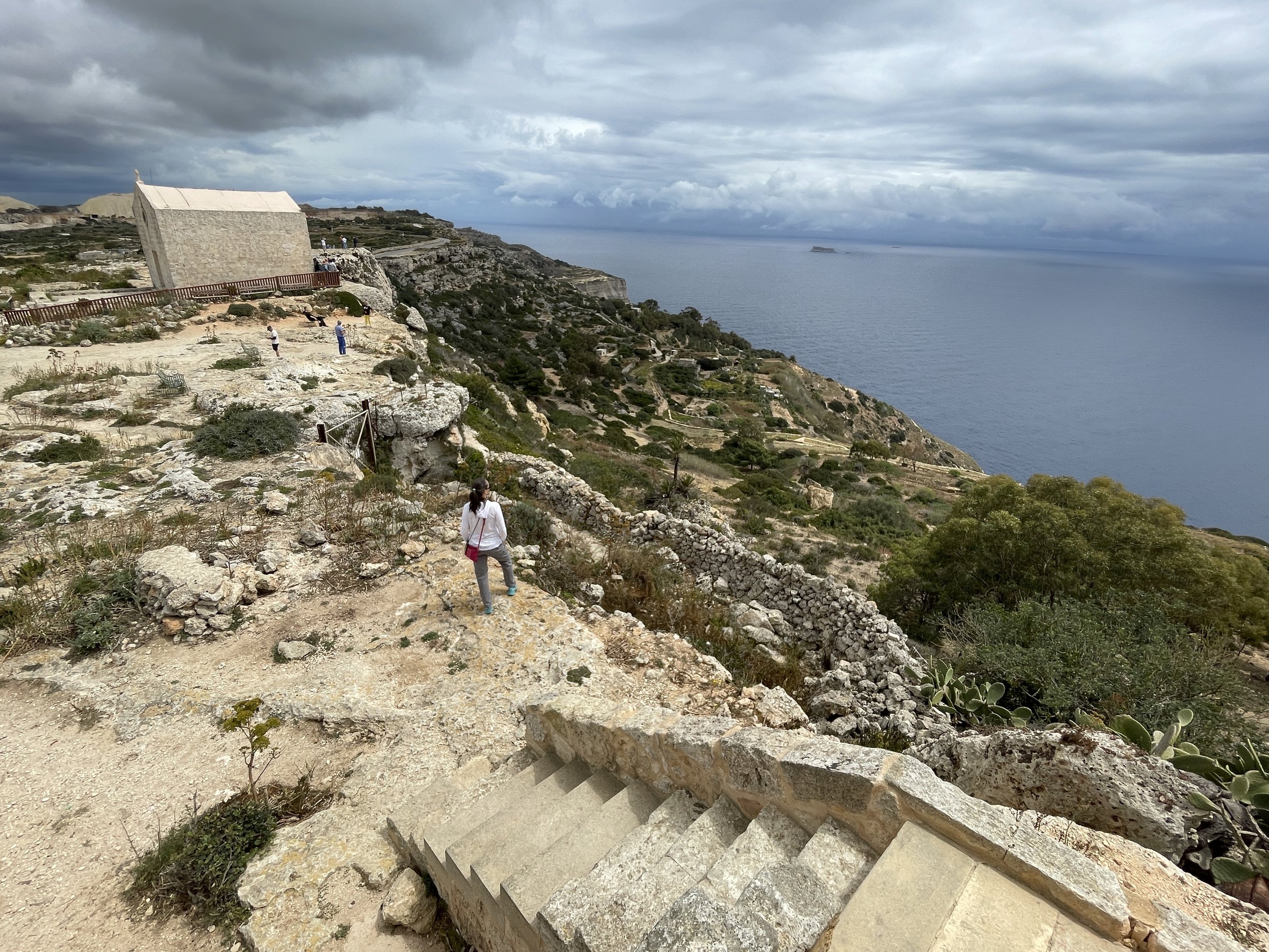
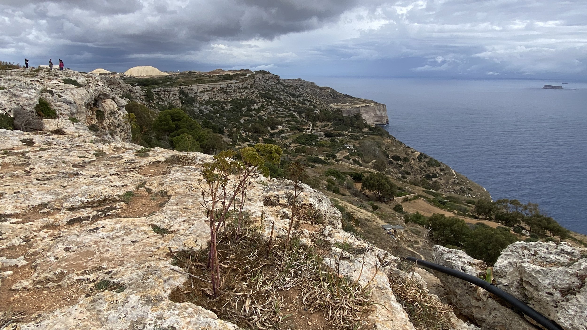
Dingli Cliffs


Malta is the EU’s smallest country by both size and population. It’s also fairly flat and has great transport connections making it easy to bag its high points.

The country high point is on Dingli Cliffs on the main island. There’s 2 other large islands in the Maltese Archipelago, Gozo and Comino. Both have high points worth visiting for great views of their respective islands.


Dingli Cliffs

Also known as: Ta'Dmejrek (in Maltese)
Significance:
 High point of the island of Malta and country of Malta
Elevation: 253m
Date climbed: 9th May 2024
Coordinates: 35° 51' 11'' N, 14° 23' 3'' E

Start & Finish
: Parking Dingli Cliffs, Triq Panoramica, Maddalena, Dingli
Distance: 1km (0.6 miles)
Elevation change: +/- 12m
GPX File: get via Buy Me a Coffee
Other routes touched (walk): Mdina Walk
Guidebook: Europe's High Points: Reaching the Summit of Every Country in Europe
Links: Malta (Country), Malta (Island), Dingli, Peakbagger


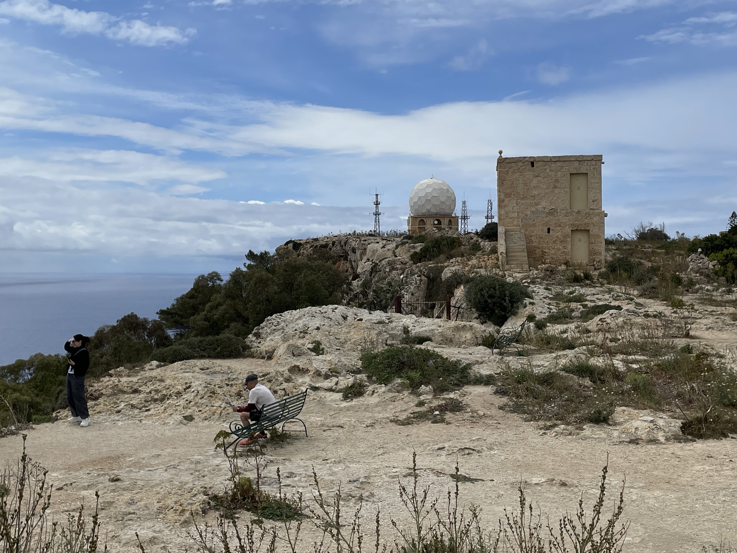
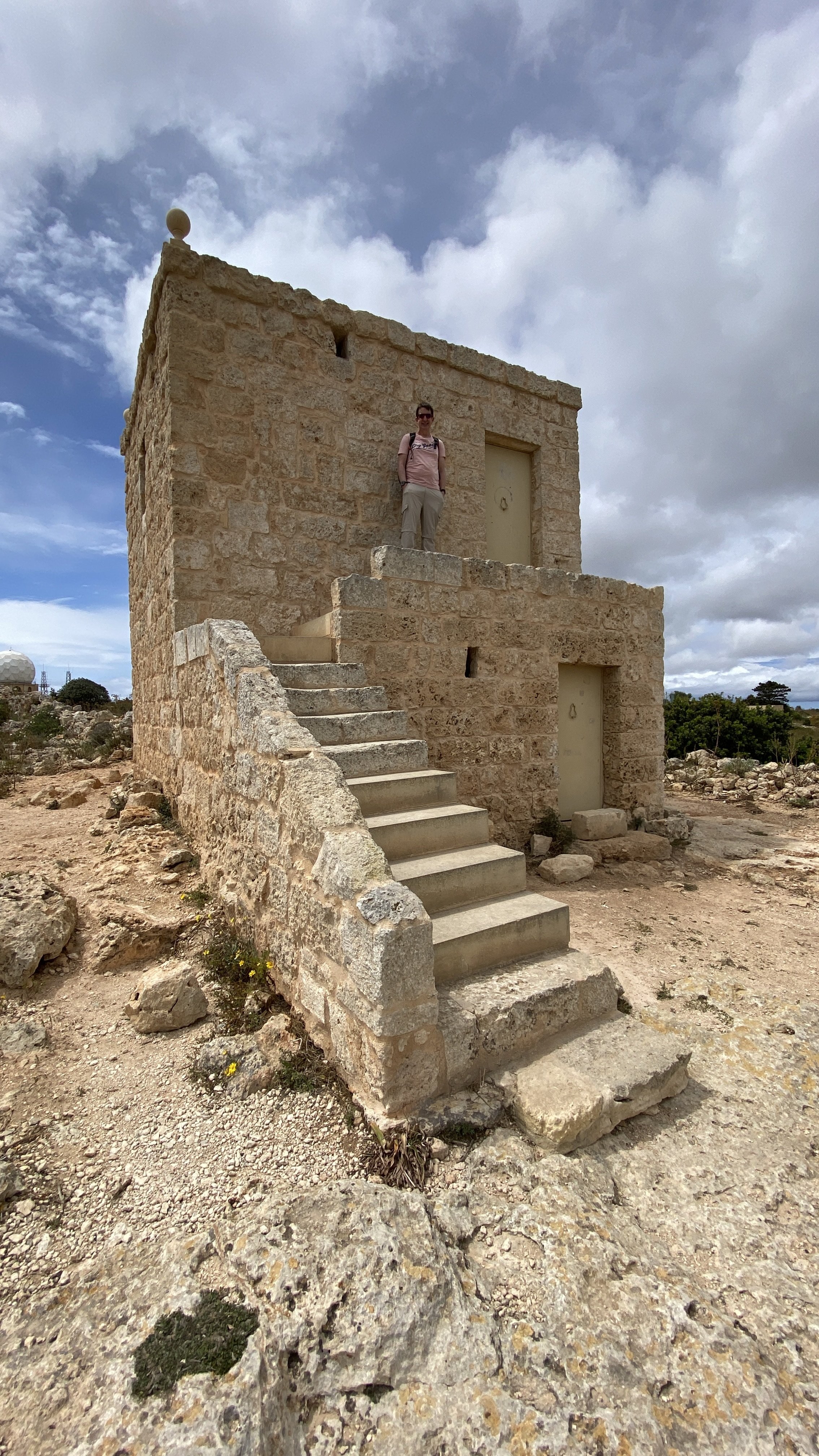
For Dingli start at the Dingli Cliffs Viewpoint. There’s parking for a few cars and it’s a popular stop for sightseeing coach tours. From the parking spot check out the views across the sea to Filfla island from the back of St Mary Magdalene Chapel.

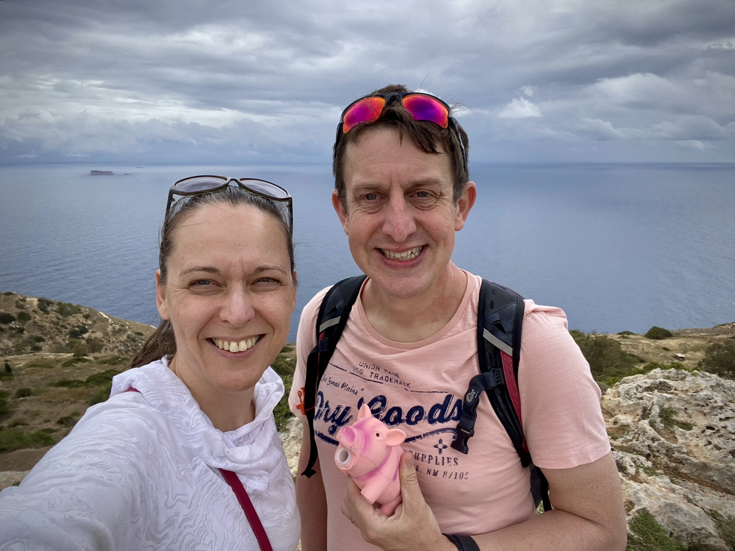
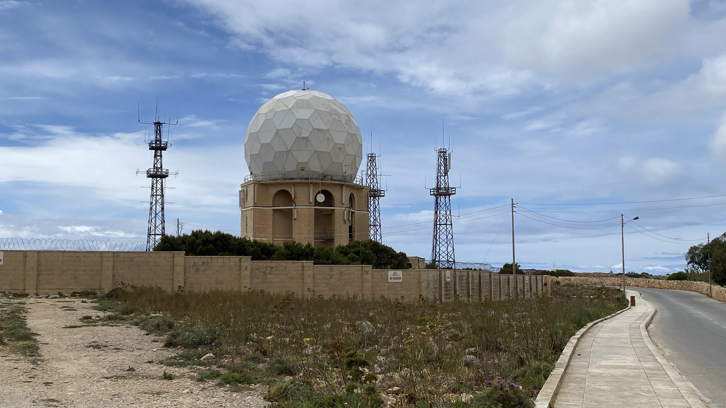
From the parking spot walk along the pavement in a westerly direction towards the radar station (the big white golf ball). About half way to the radar station there’s an obvious high point on the cliff top rocks. While not quite the high point, it felt like it should be so we took the banner phone above there.

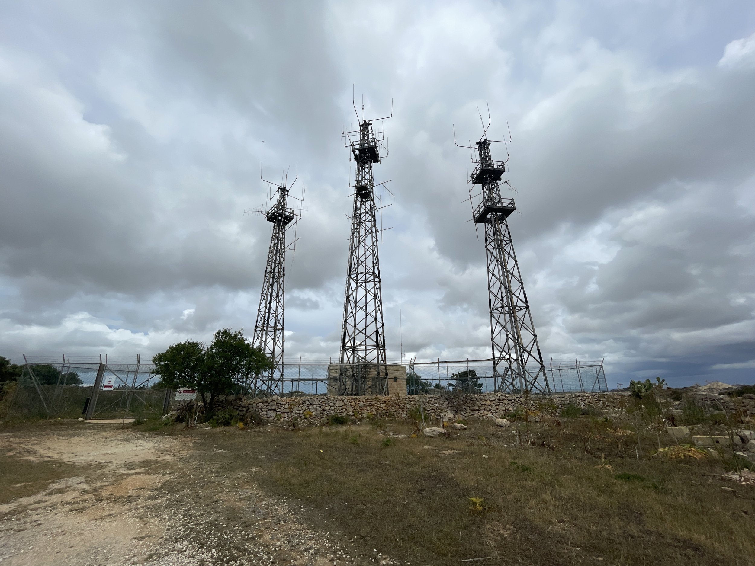
To reach the actual high point you’ll need to cross the main cliff top road and walk up a private track to the radio transmitters.


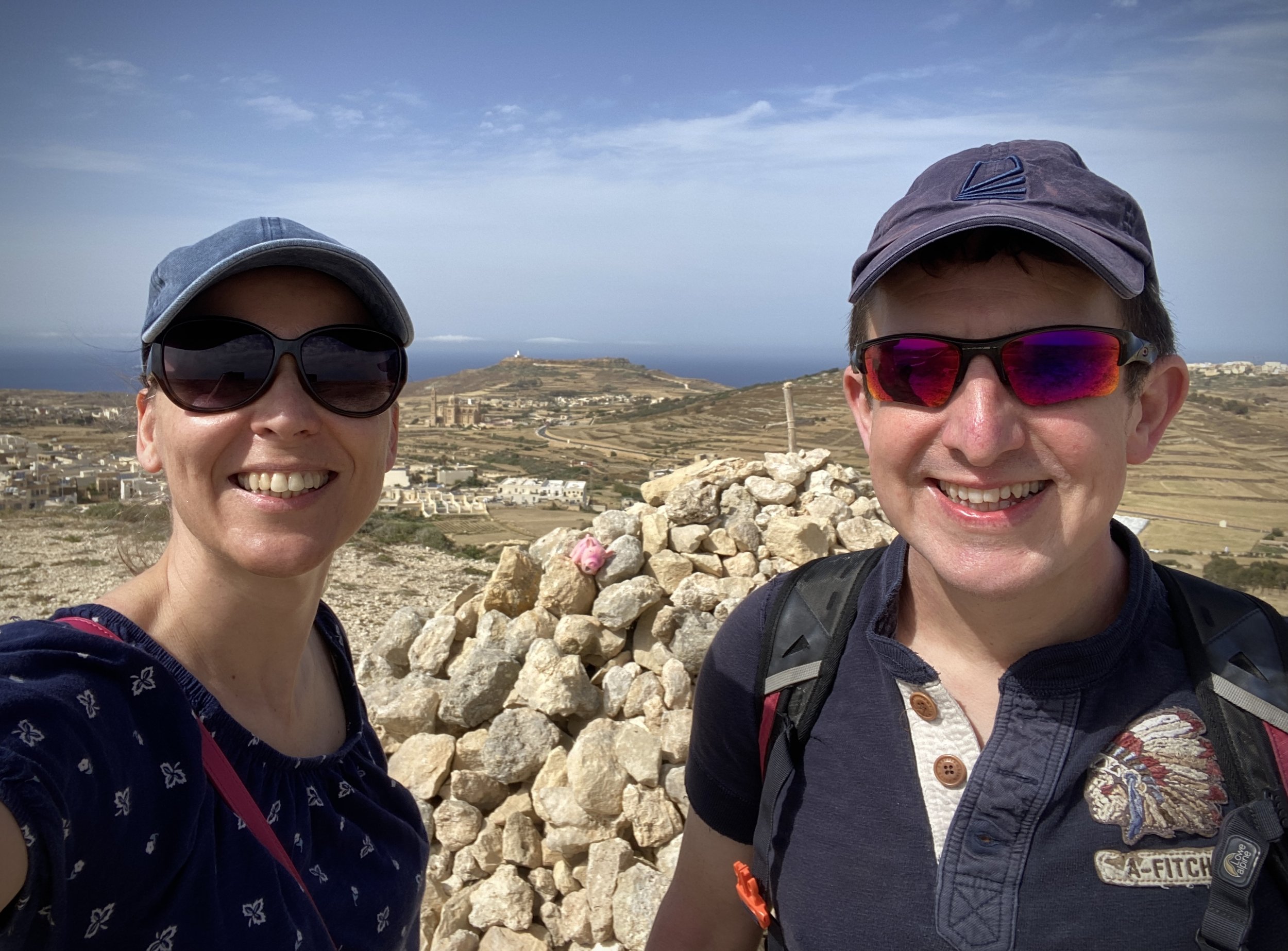
Ta' Dbiegi

Significance: High point of the island of Gozo, Malta
Elevation: 194m
Date climbed: 7th May 2024
Coordinates: 36° 3' 6'' N, 14° 12' 49'' E

Start & Finish
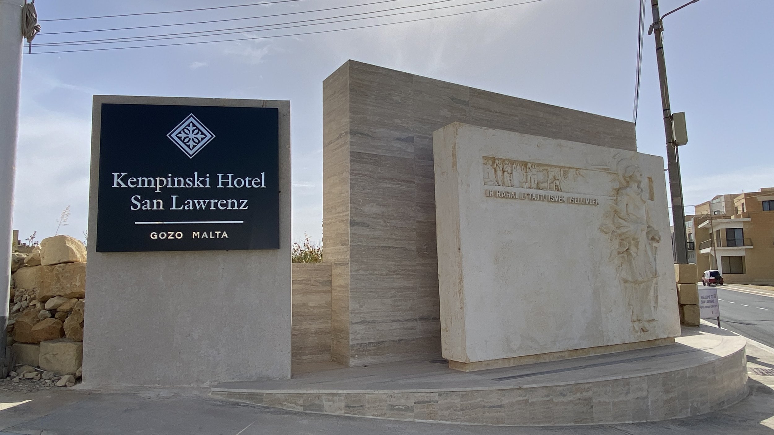
: Free Parking outside Kempinski Hotel San Lawrenz, Triq ir-Rokon, St Lawrence, Gozo
Distance: 1.5km (0.9 miles)
Elevation change: +/- 58m
GPX File: get via Buy Me a Coffee
Other routes touched (walk): None
Links: Gozo, San Lawrenz, Peakbagger


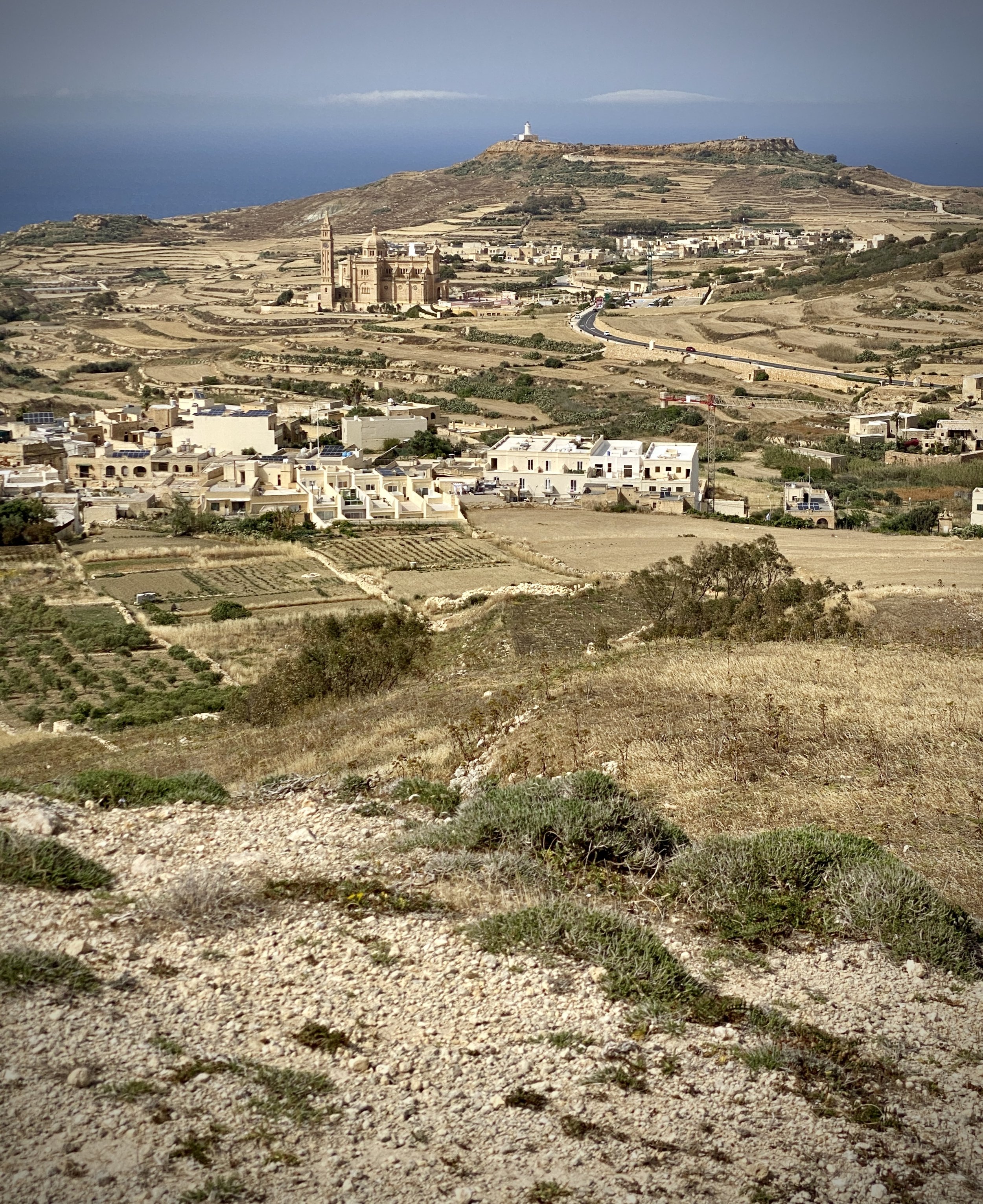
The Gozo high point is a more interesting walk as it’s more challenging to get to. Note that the hill is in private farmland. There’s a well marked path to the top and, at the time we visited, no-one around to ask permission from. When scanning through previous logs on Peakbagger I saw that other walkers had a similar experience of either no-one around or farmers not being bothered by visitors walking to the summit.

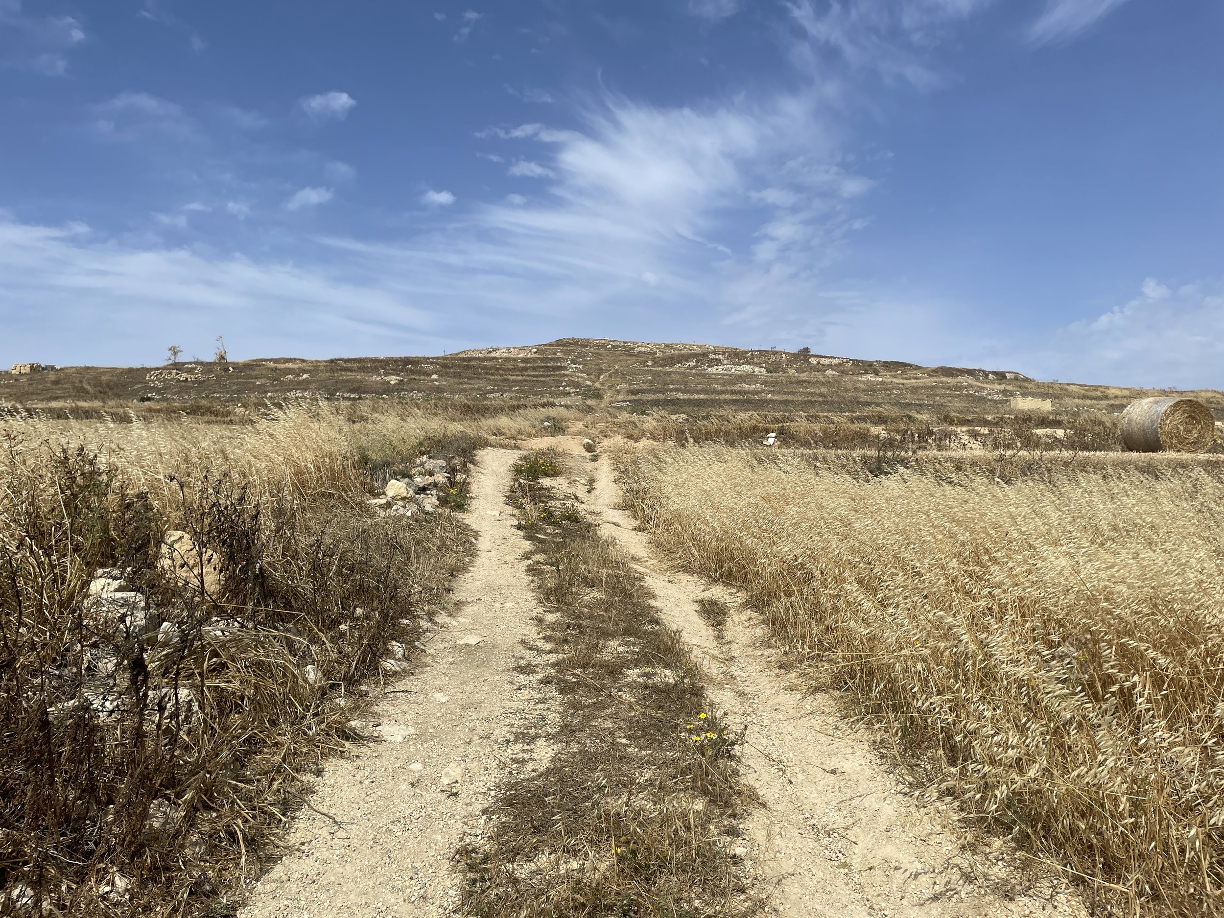
We parked at the free parking spots outside the Kempinski Hotel on Triq ir-Rokon, San Lawrenz. From the parking spot continue along the road for 120m the take the first farm track on the left. Pass the houses on the right and continue to a bend in the track at 400m into the route from the parking spot.

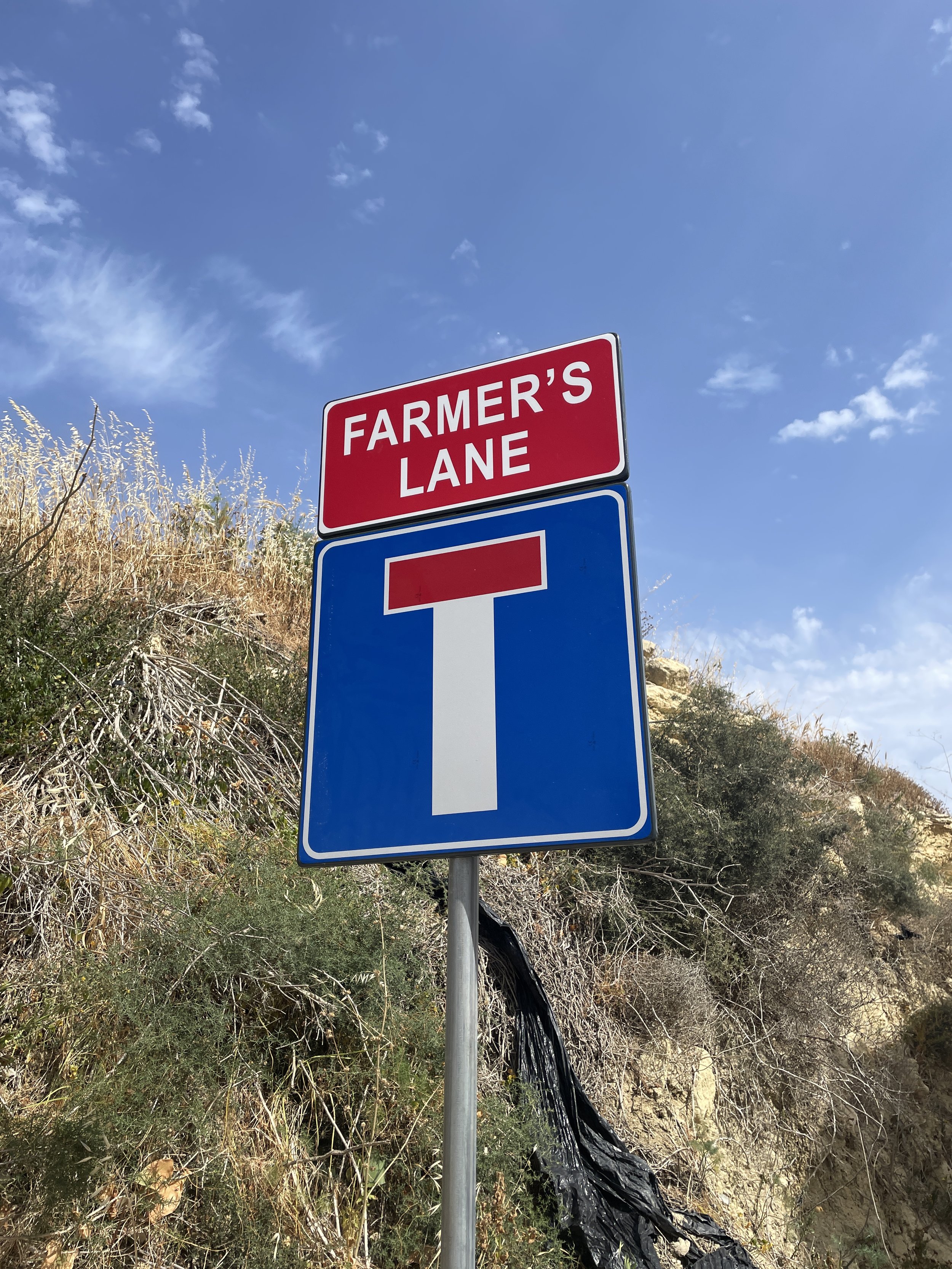
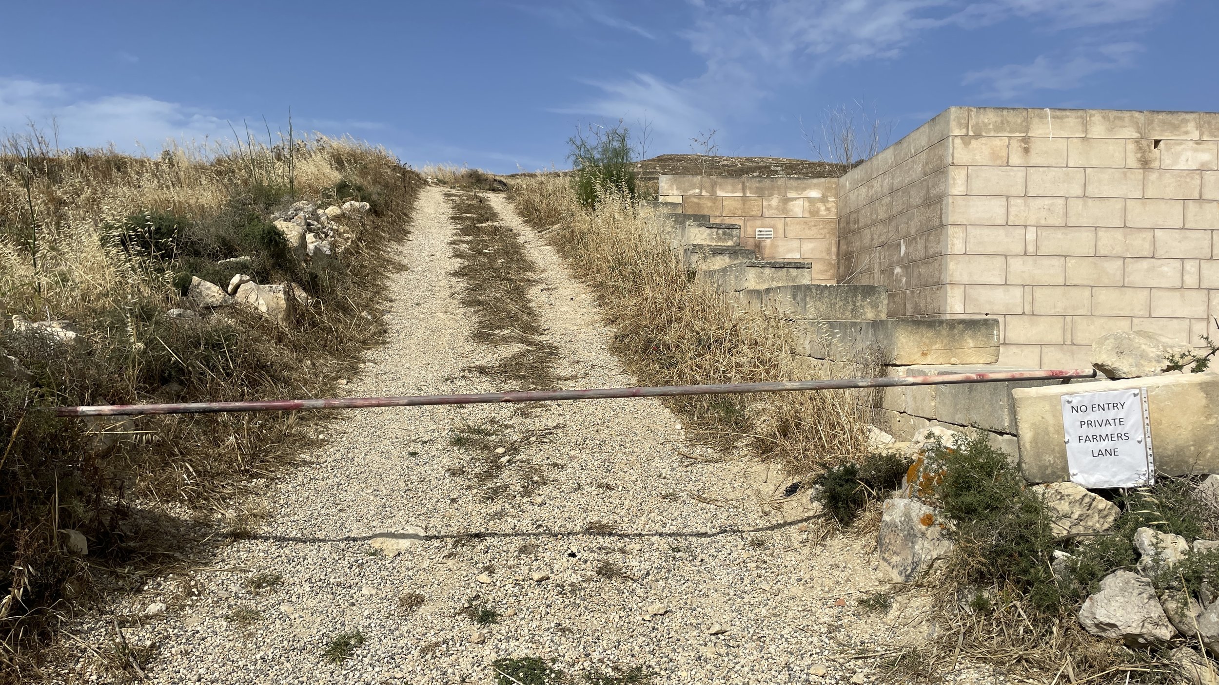
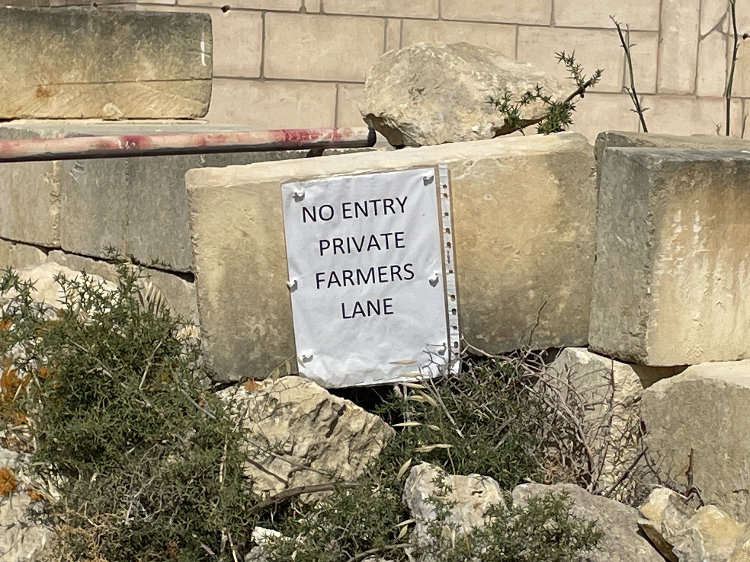
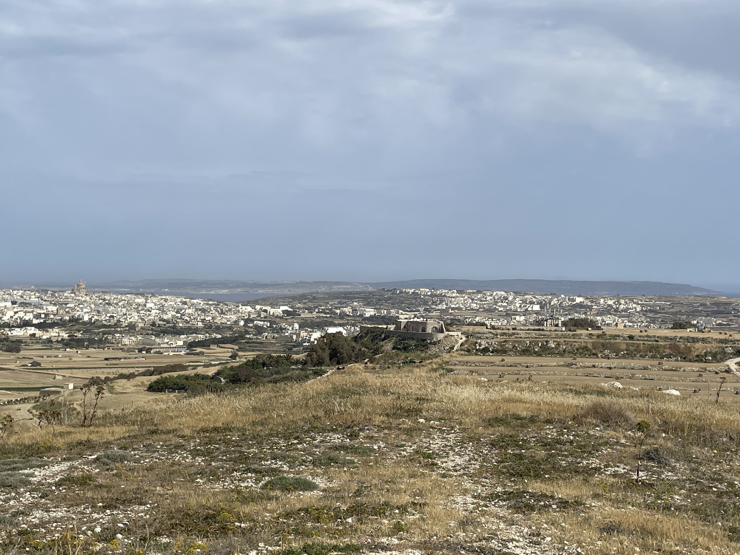
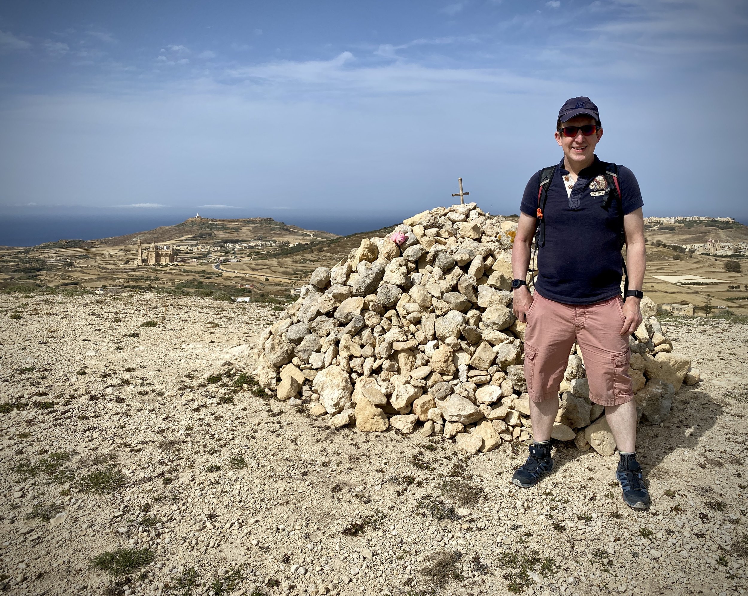
Take the path on the right that ascends the hill to the summit. You’ll need to cross over a metal pole and a couple of signs saying “no entry, private farmers lane”. The summit is makes by a small cairn of white stones. From the top you can see across the whole island and to Comino and Malta islands.

Return via the same route.


Comino High Point

Significance: High point of the island of Comino, Malta
Elevation: 74m
Date climbed: 10th May 2024
Coordinates: 36° 0' 44'' N, 14° 20' 44'' E

Start & Finish
: Ferry berths, Blue Lagoon, Comino
Distance: 7.7km km (4.8 miles)
Elevation change: +/- 125m
GPX File: get via Buy Me a Coffee
Other routes touched (walk): None
Links: Comino, Peakbagger


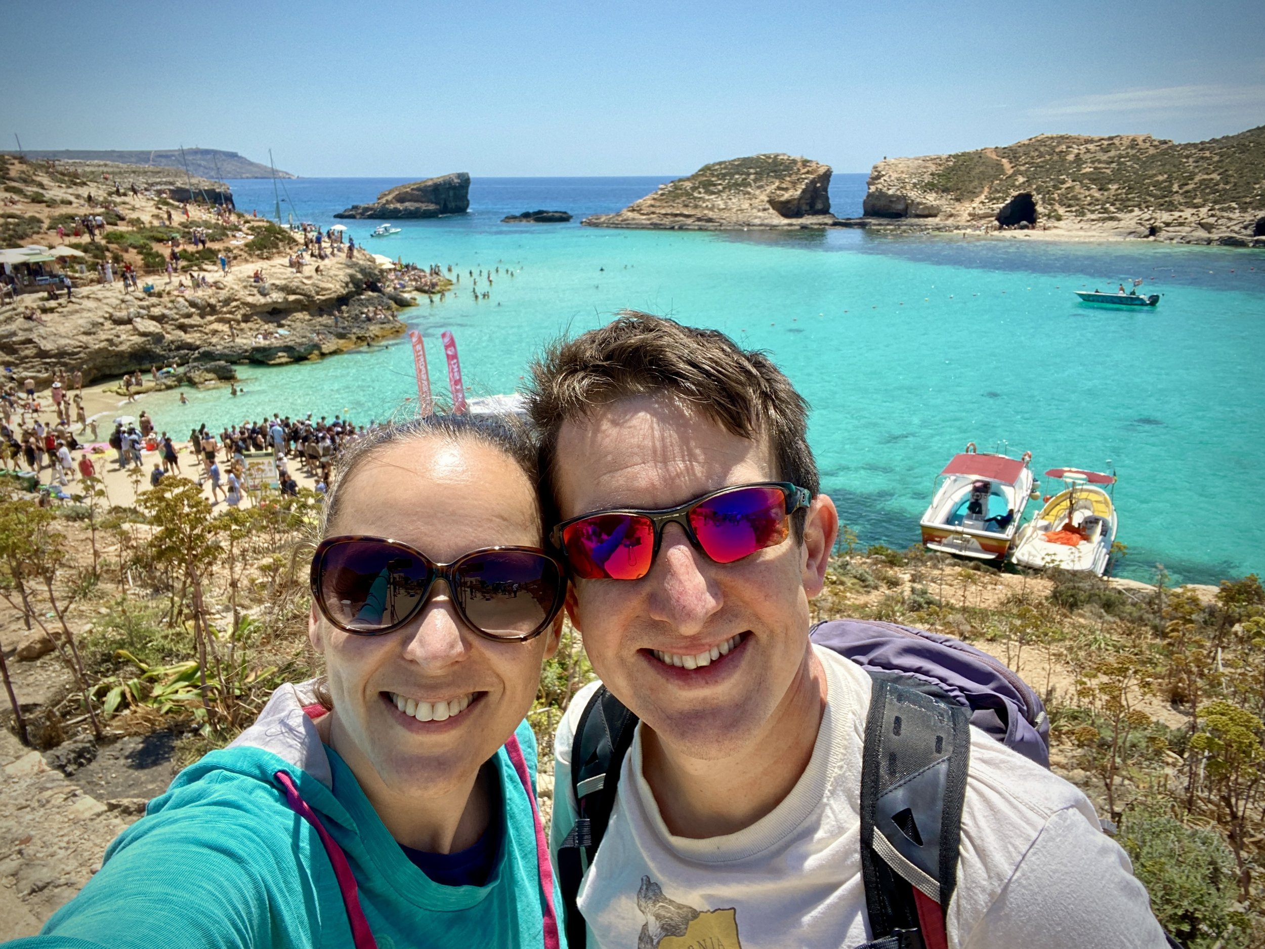
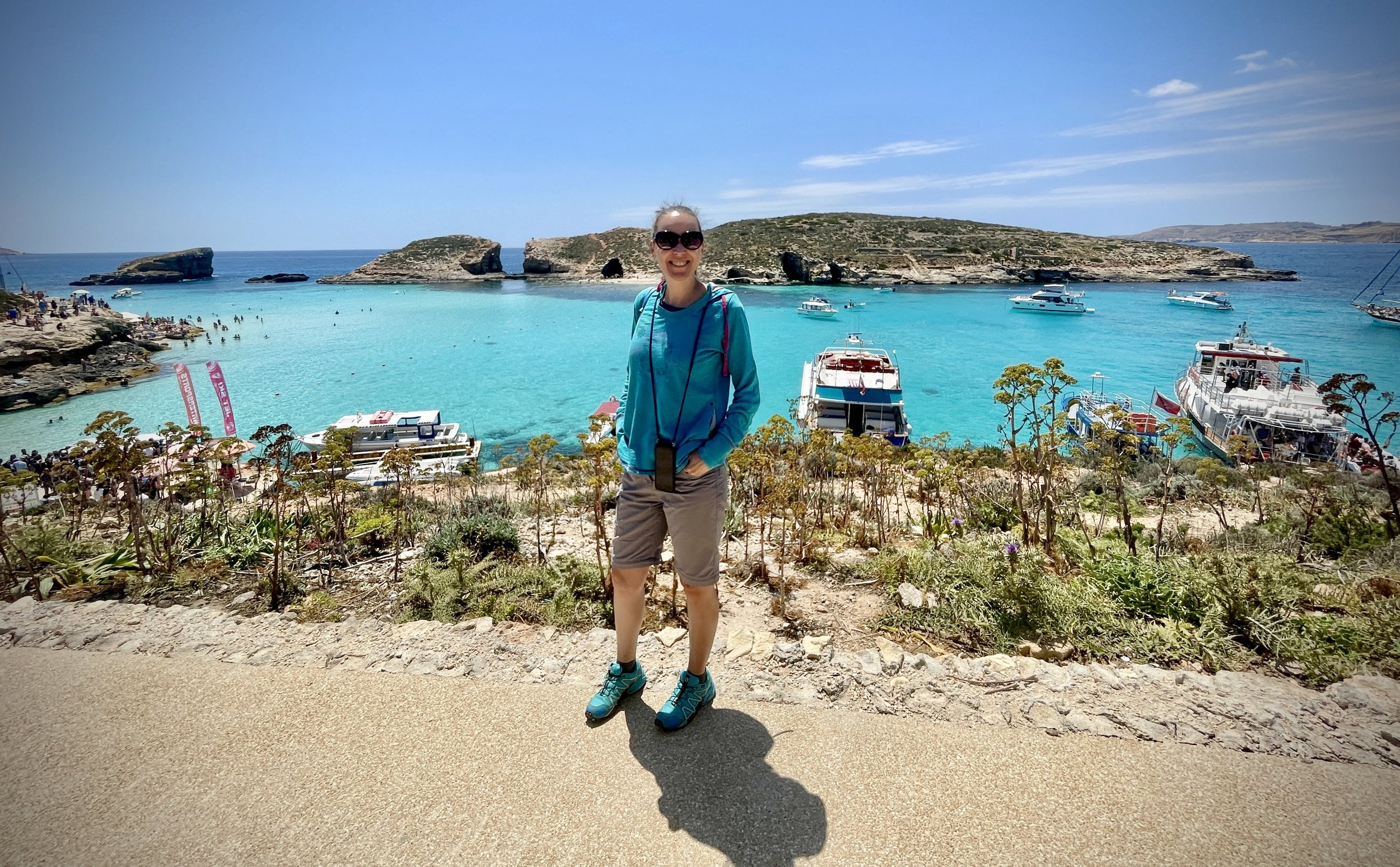
The first task in reaching the Comino high point is finding a boat to get you to the island. There’s a lot of options, from the ferry at Cirkewwa or the numerous tourist boats that go from many places on the main island. We arranged for seats on a small boat that picked us up from our hotel and took us back a few hours later. Whichever option you take make you that you have at least 3 hours on the island to do the circular tour and enjoy the views.

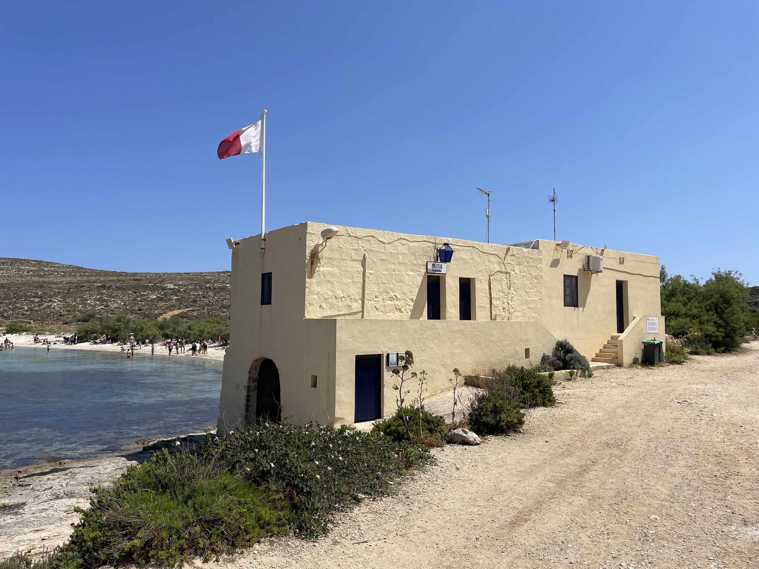
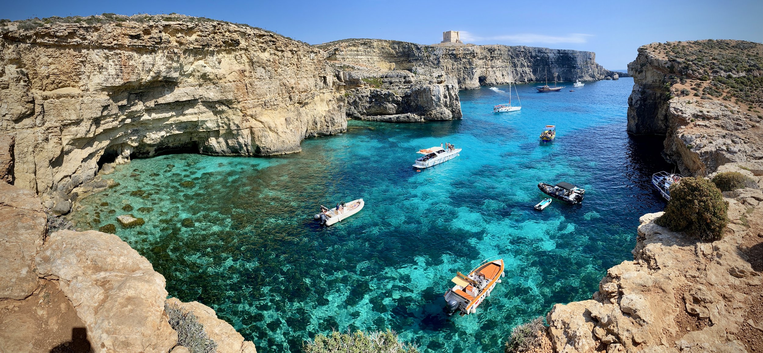
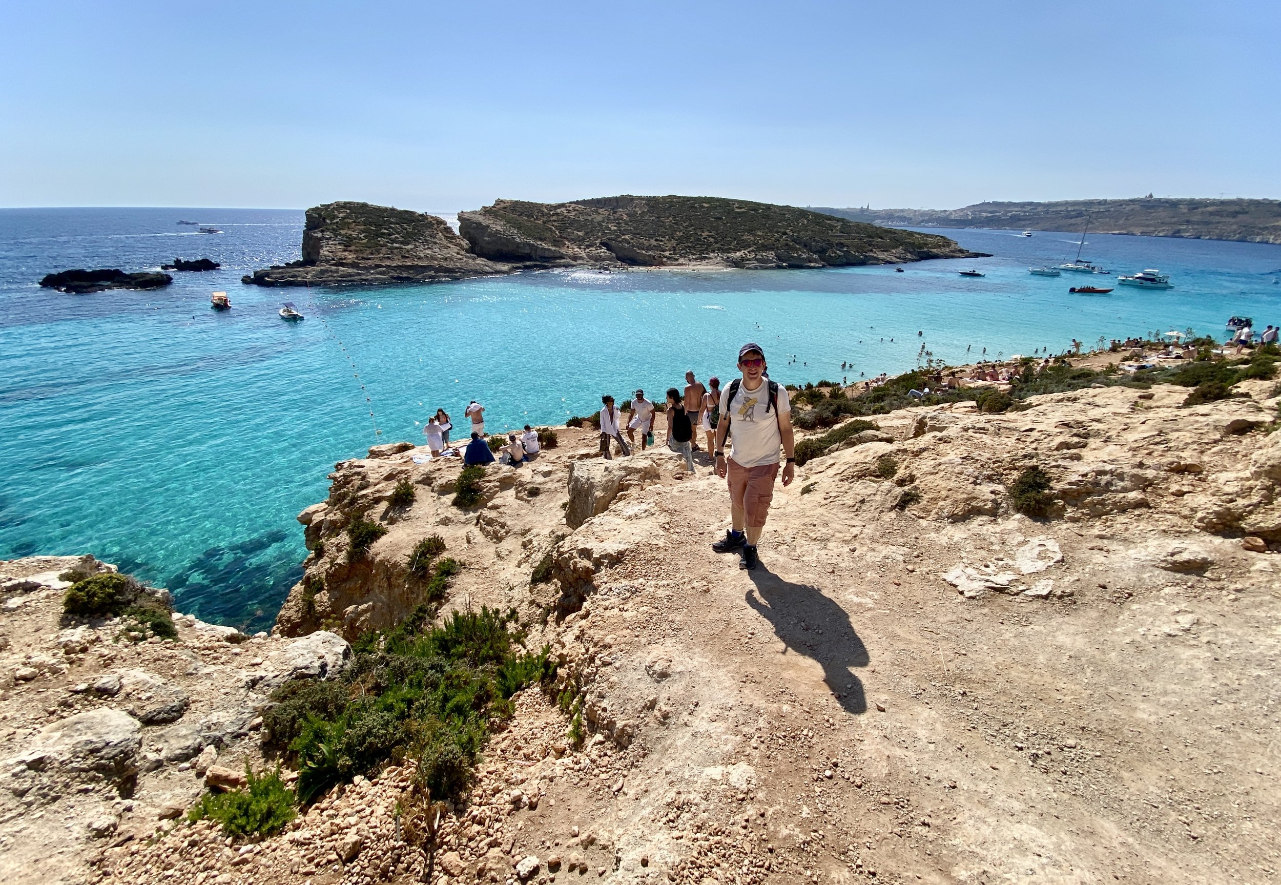
Unless you have a private charter, most boats will drop you off at the moorings at the Blue Lagoon. This is a beautiful bay that’s worth visiting in it’s own right. The vast majority of visitors to the island don’t stray far from this bay and it can be very over crowded. There’s several food and drink kiosks by the boat moorings. Make sure that you either take food and drink with you or buy it from the kiosks when you arrive as there’s no other shops on the island.

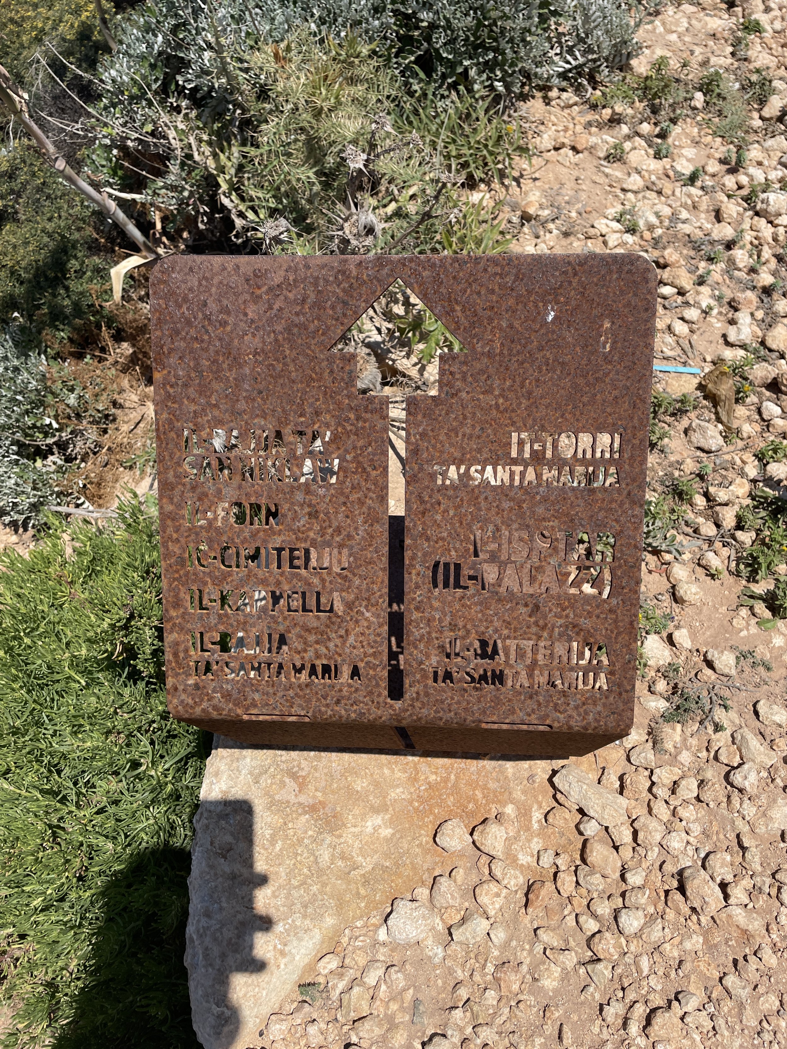
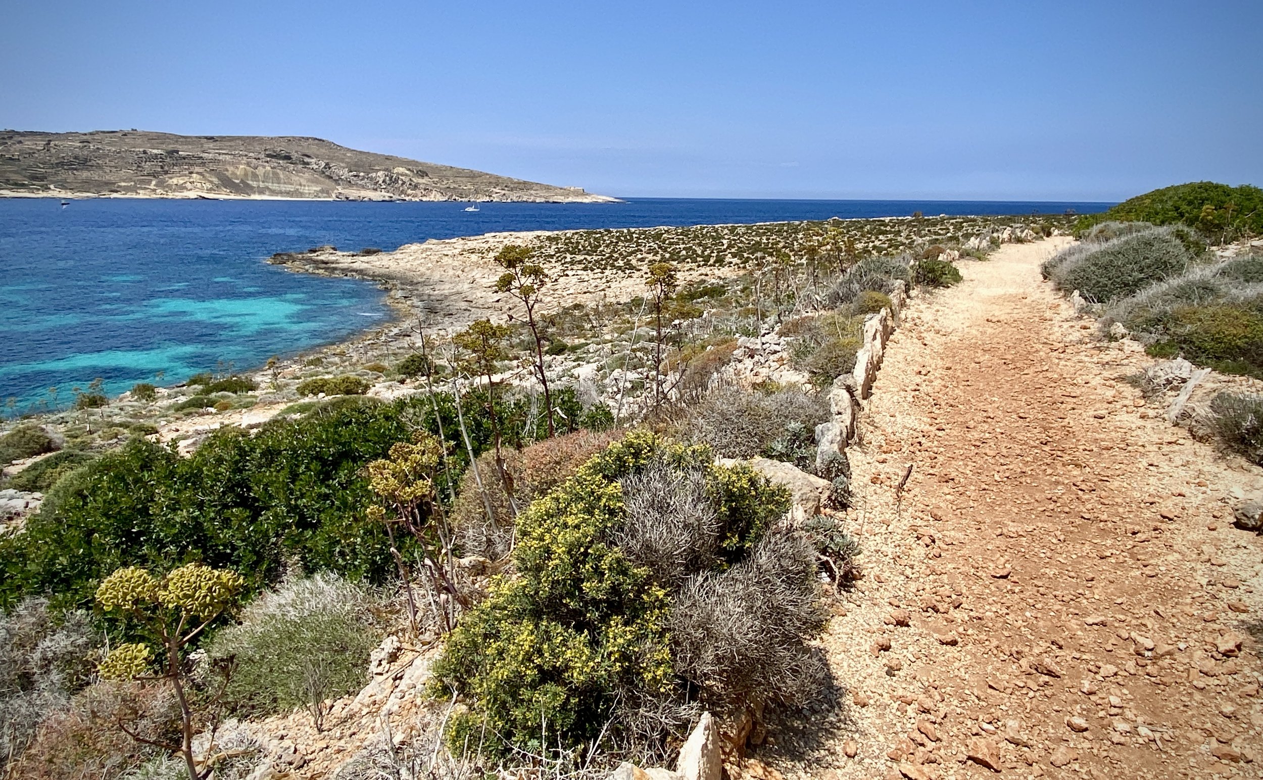
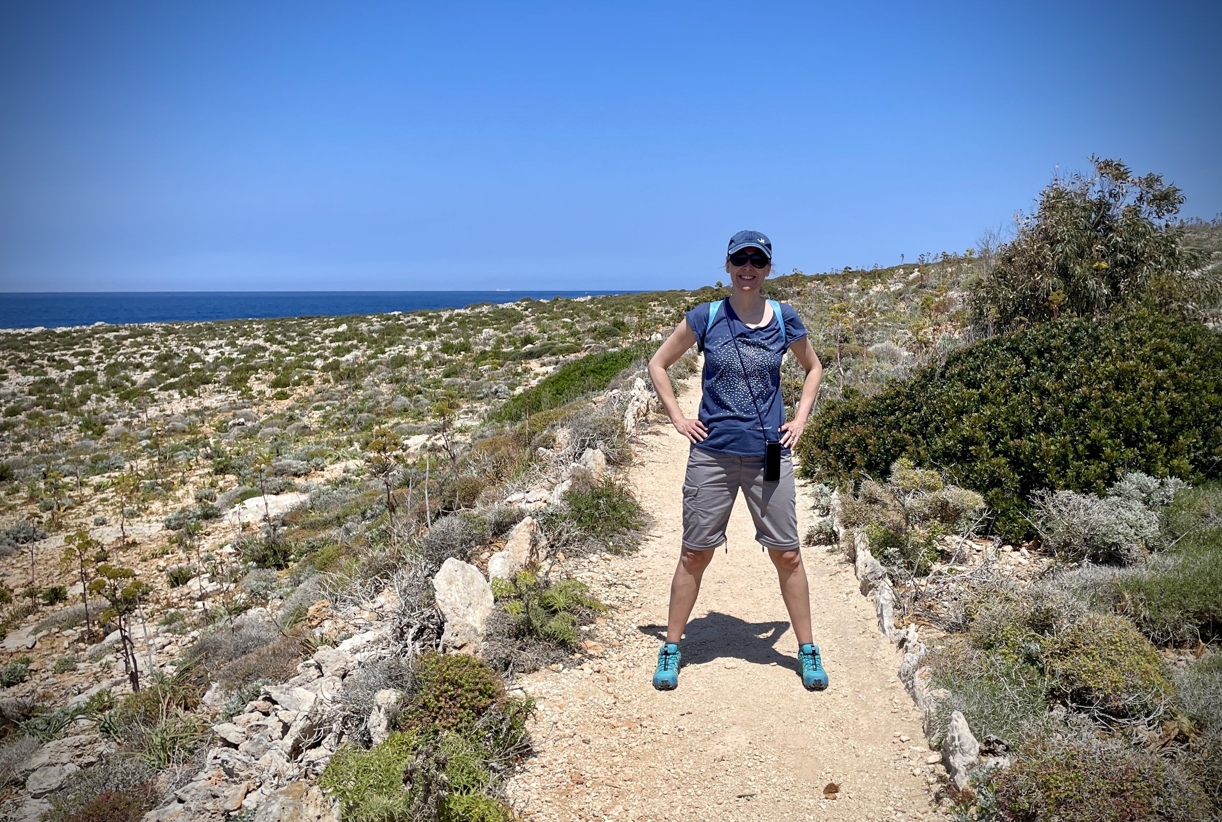
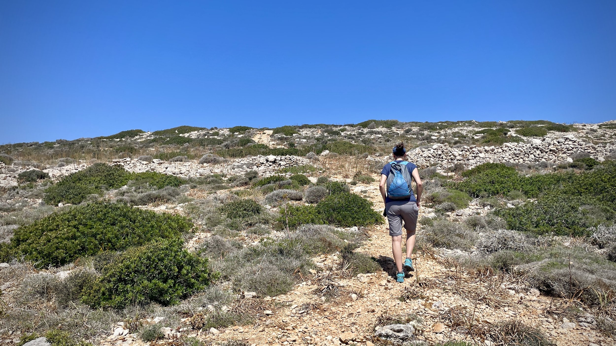
From the Blue Lagoon we took the coastal path in a clockwise direction. The path is well maintained and has a few metal signs along the route. You can’t really get lost but there’s a few different options so we were glad to have the GPX route on the phone. There were a few places where we could have taken a path closer to the coast but kept inland being mindful of the departure time of our boat.

It is possible to take a shorter out-and-back route through the centre of the island to the high point. It only saves around 3km though, and the coastal route is such a nice walk that it doesn’t make sense to rush this one.

When we visited in May 2024 both the Comino Hotel in Saint Nicolas Bay and the Hotel Bungalows in Santa Maria Bay were shut and fenced off. I read that they were being redeveloped to re-open in 2025 but that felt optimistic as they were derelict and there was no sign of any work being done.

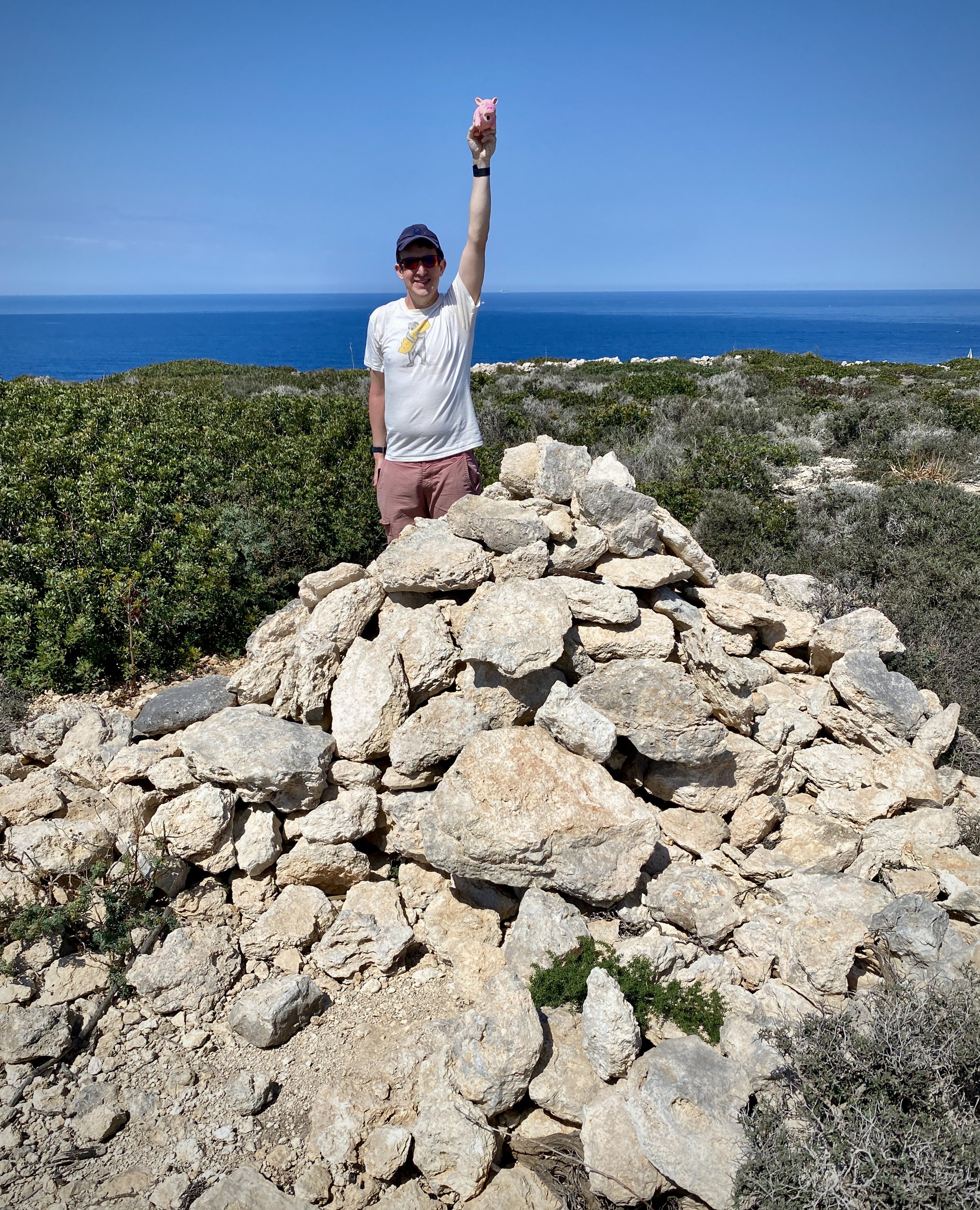
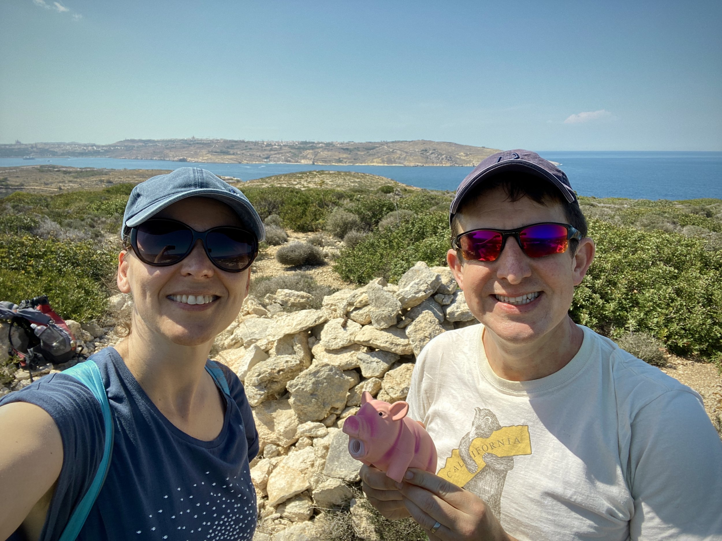
The actual high point is just off the main coastal path but hard to miss as there’s a small cairn at the top.

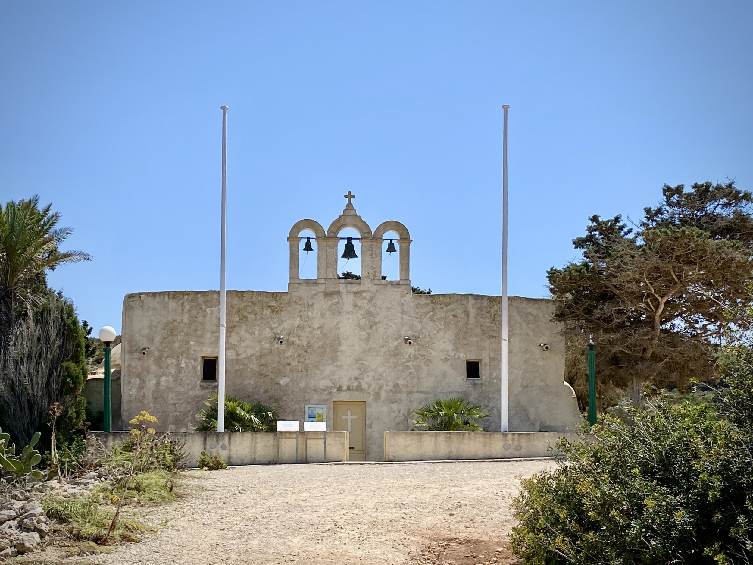
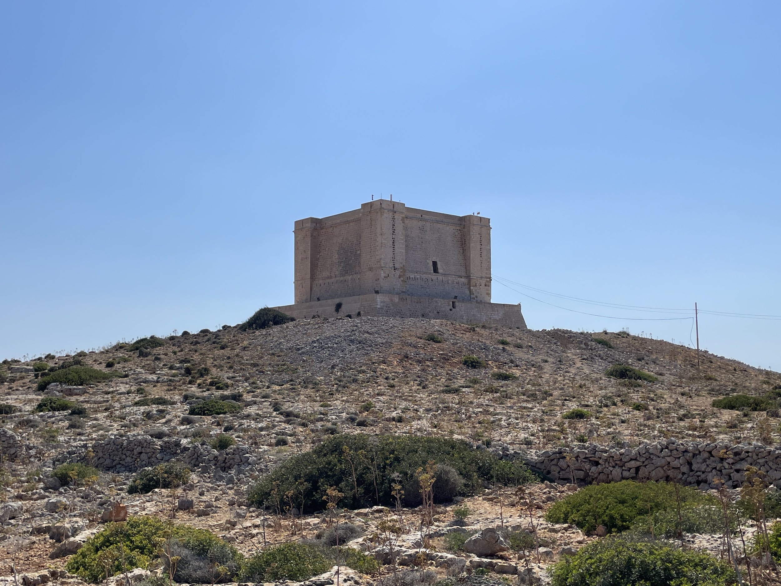
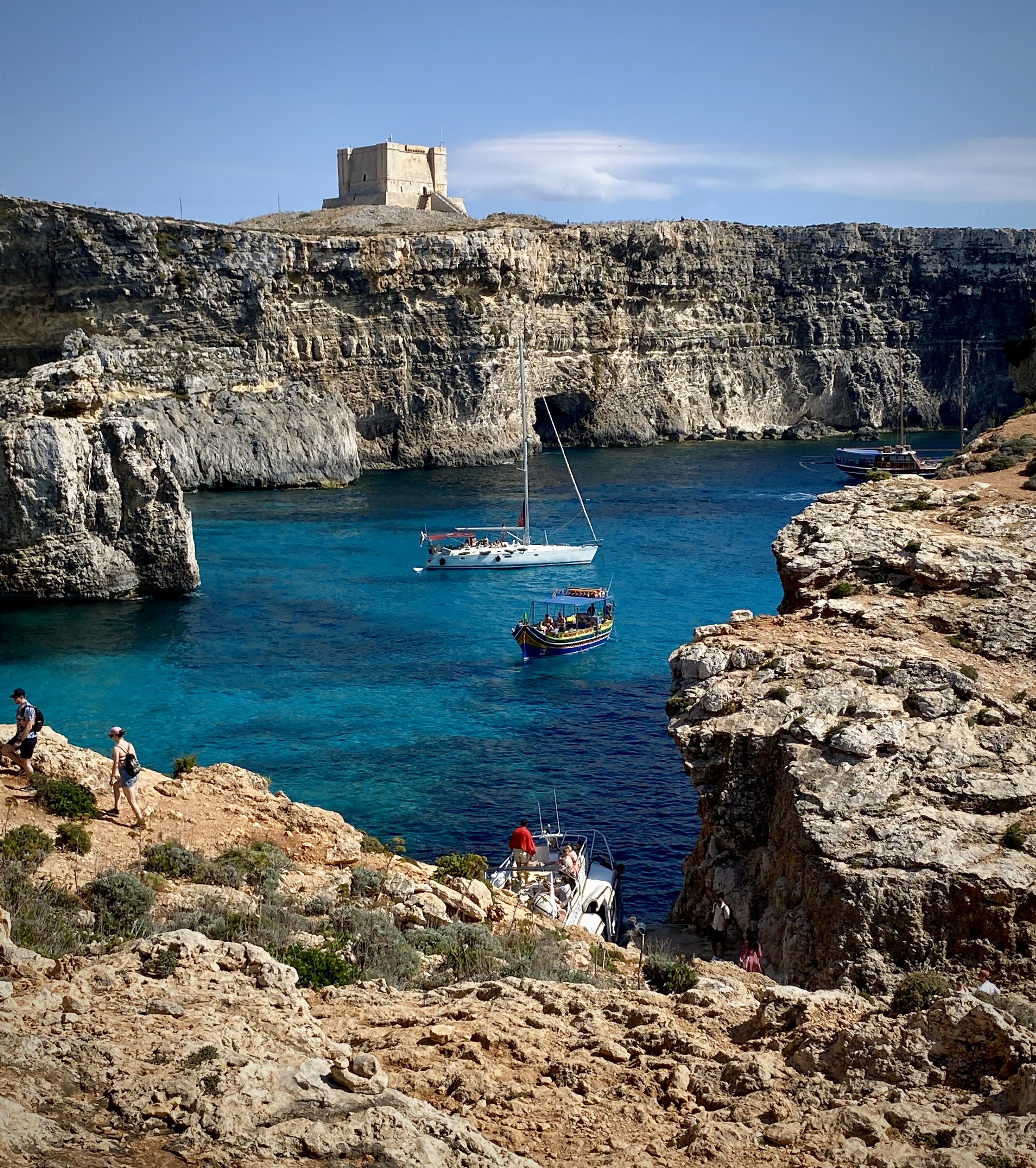
On the route back to the Blue Lagoon you’ll pass the remains of the old pig farm, the 19th century isolation hospital and Santa Maria Tower. The cliffs between the Tower and the Blue Lagoon are the most spectacular part of the walk.

We loved this walk and it was, for us, the highlight of our week in Malta. Dingli may be the highest point, but this was our favourite.